
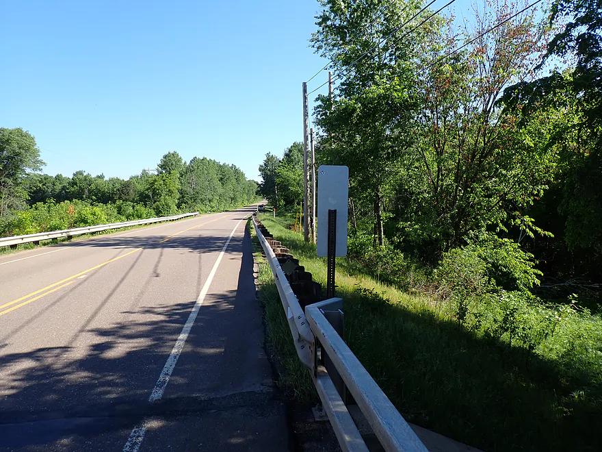
Starting the trip at Hwy XX (note the frustratingly long guardrail)
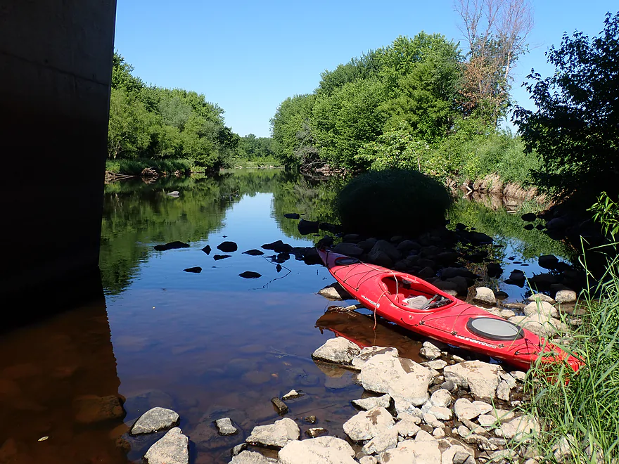
Launching directly below the bridge
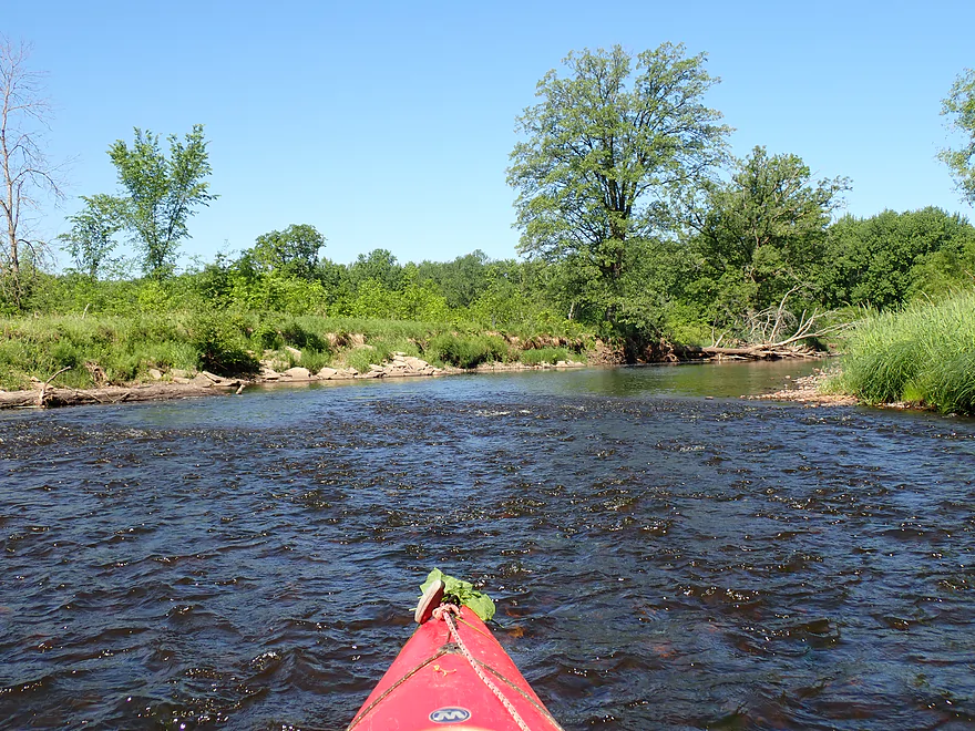
A number of riffles
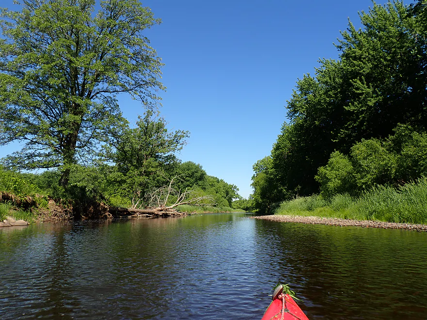
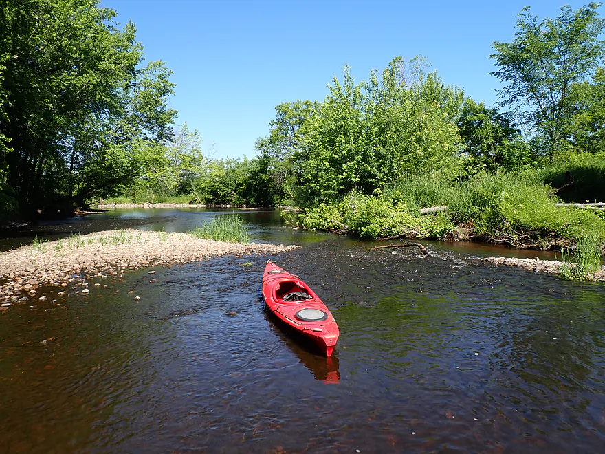
Getting out for a few shallow spots
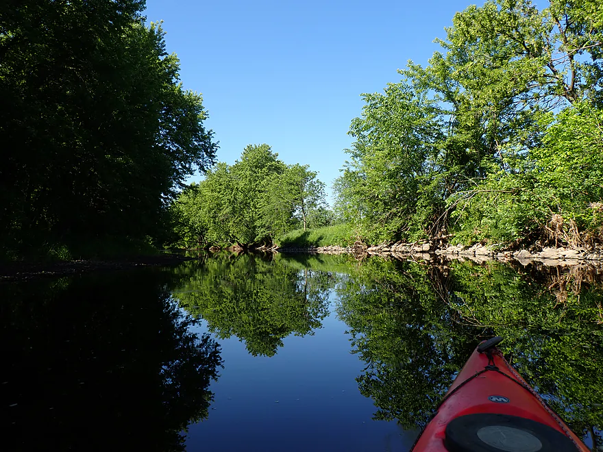
Great reflections
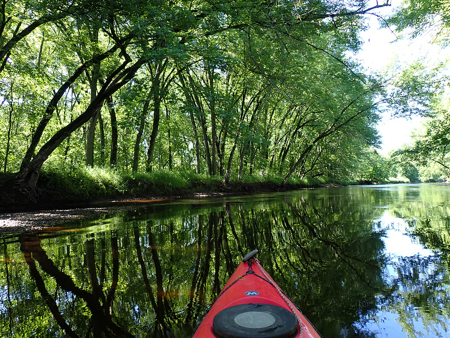
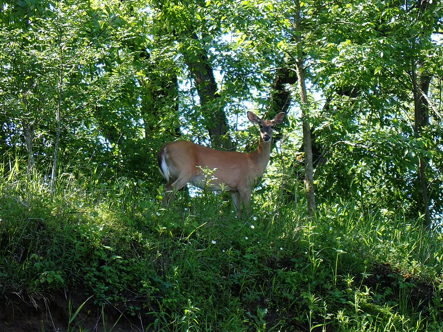
Getting fairly close to a deer
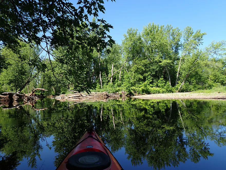
River splits here around a long island
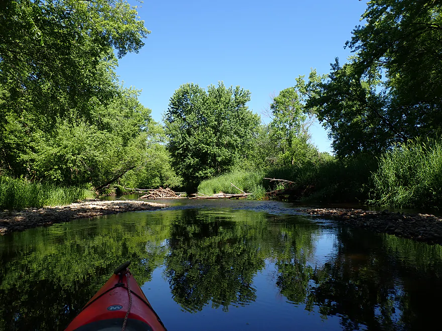
I took the right channel
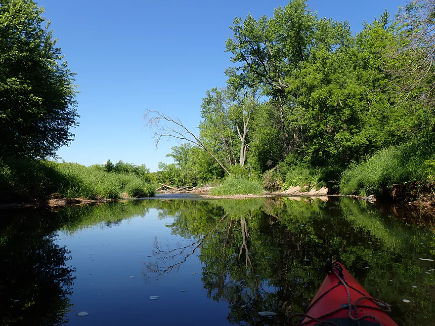
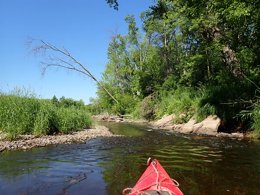
Reaching the end of the island
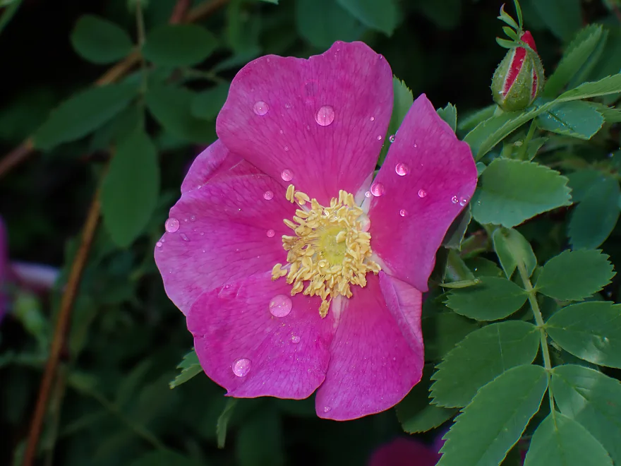
A wild rose (with dewdrops)
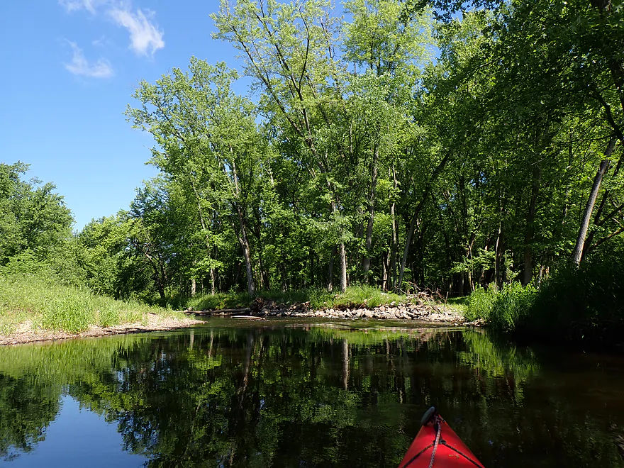
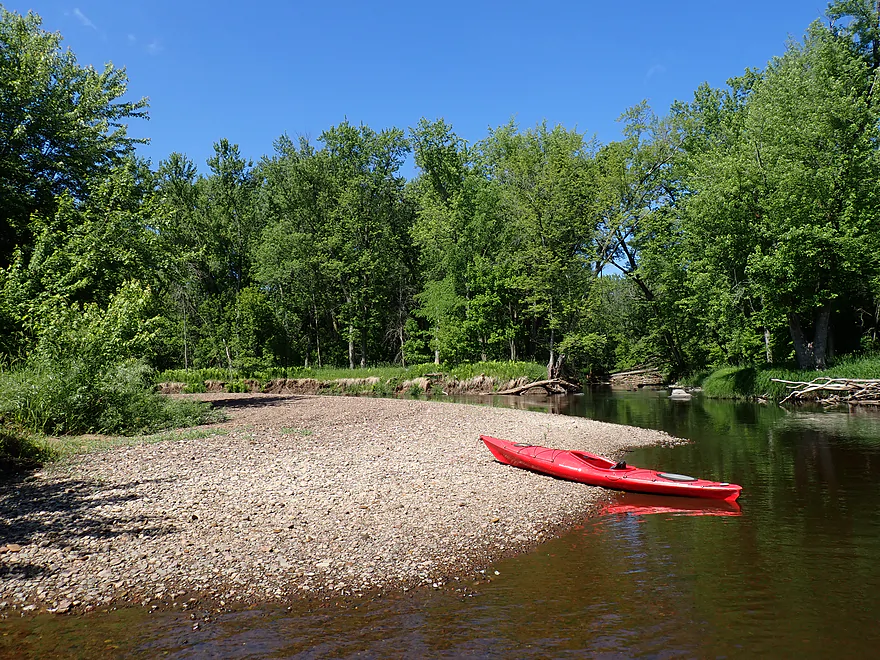
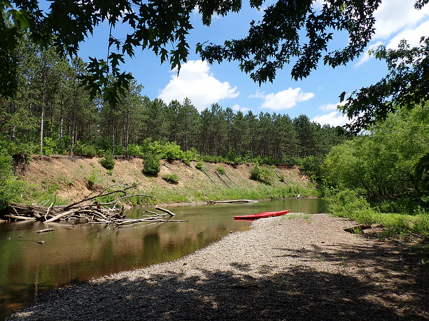
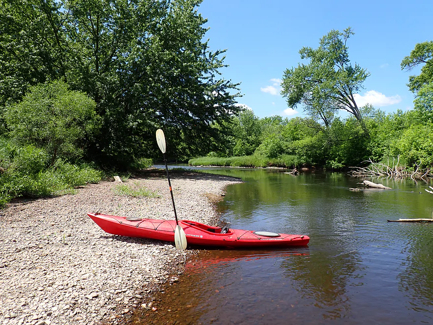
Really nice gravel bars
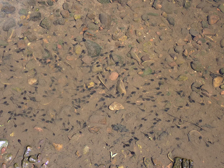
So many tadpoles on this trip
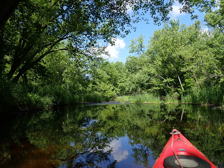
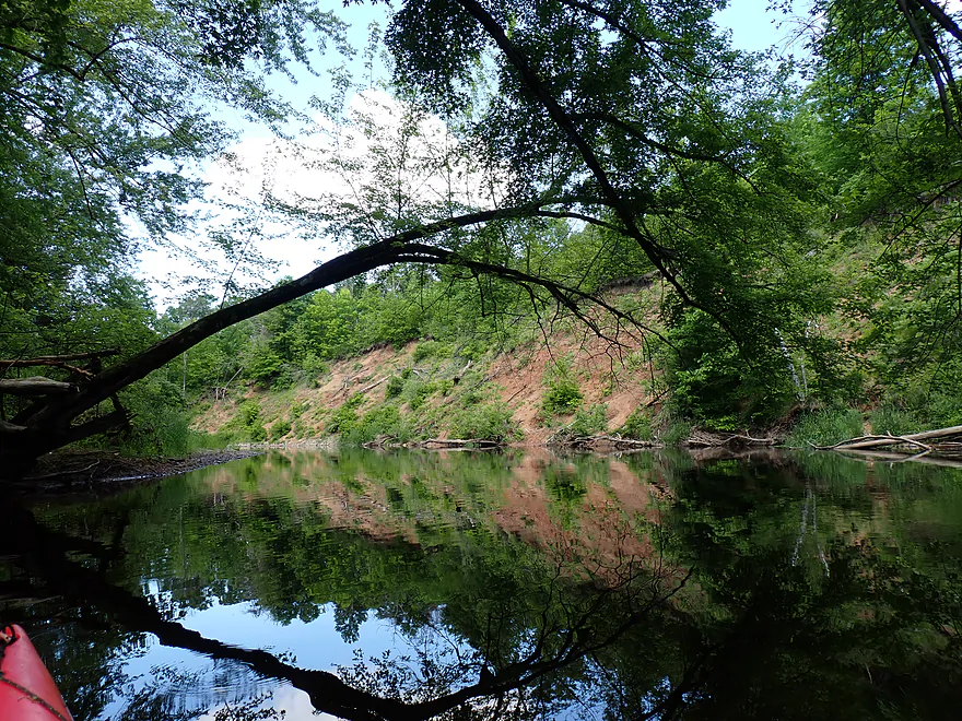
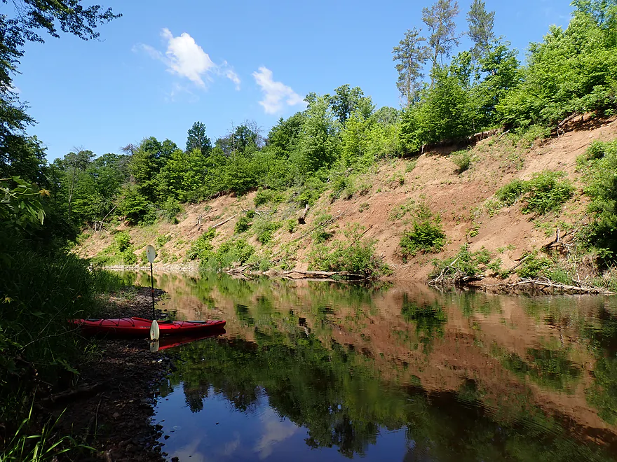
Nice sand bank
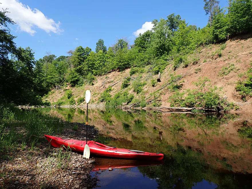
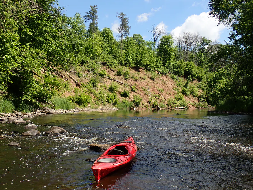
Reverse view
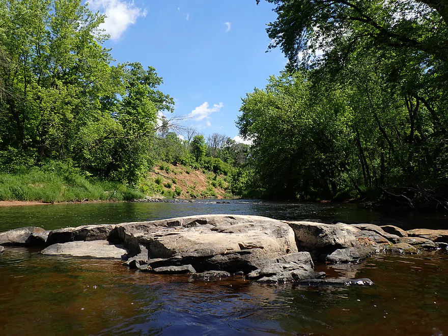
Bedrock and sand–interesting mix of geology
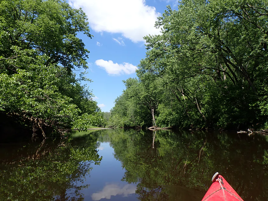
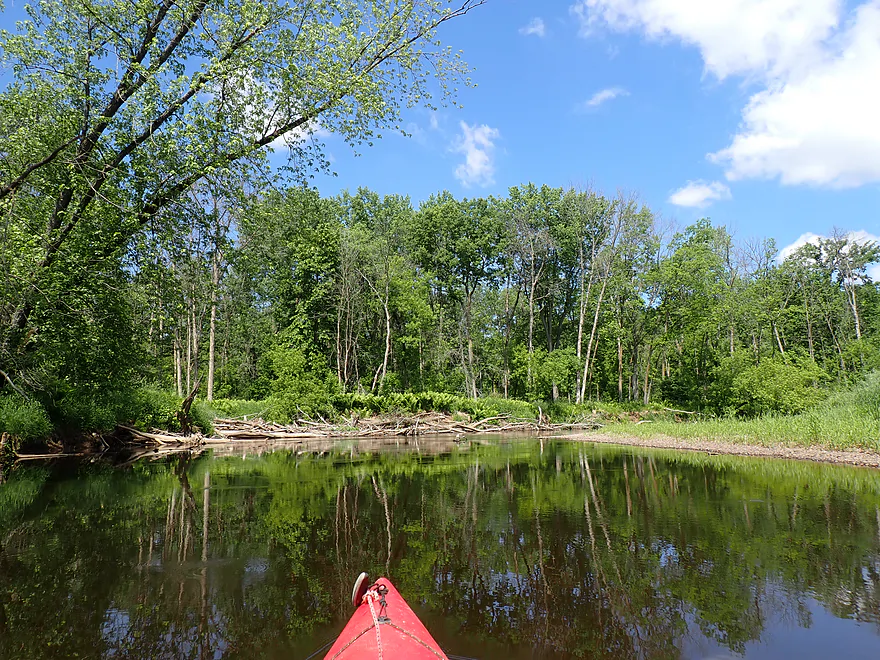
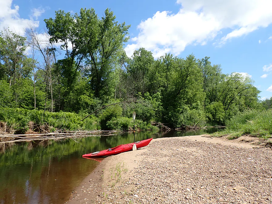
Taking a lunch break
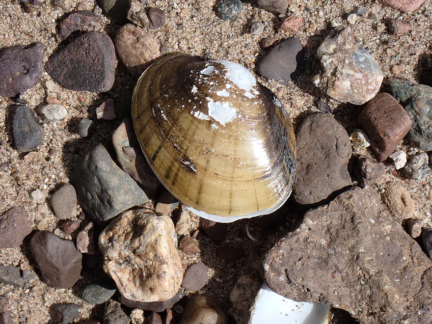
Many many clam shells
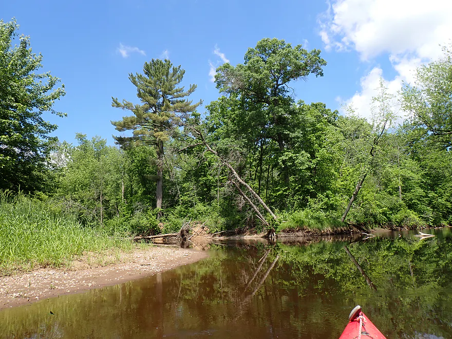
Drywood Creek joins from the right, significantly enlarging the river
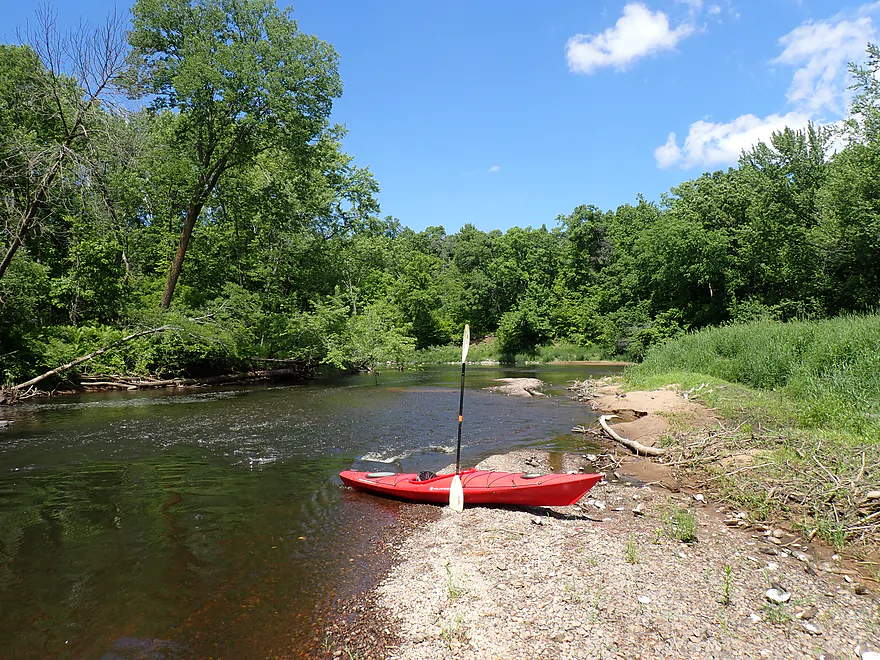
More minor rapids
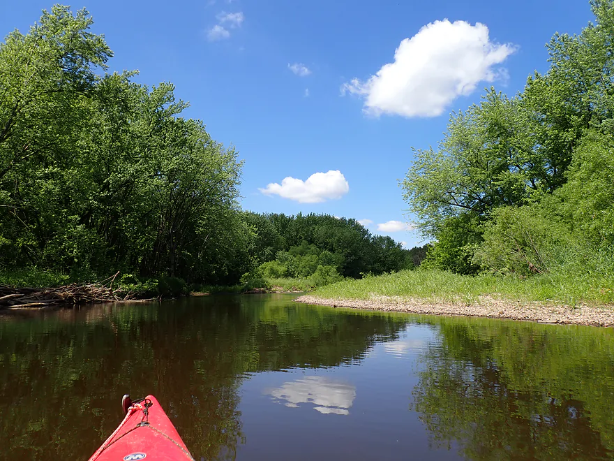
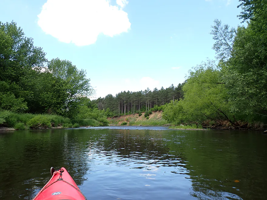
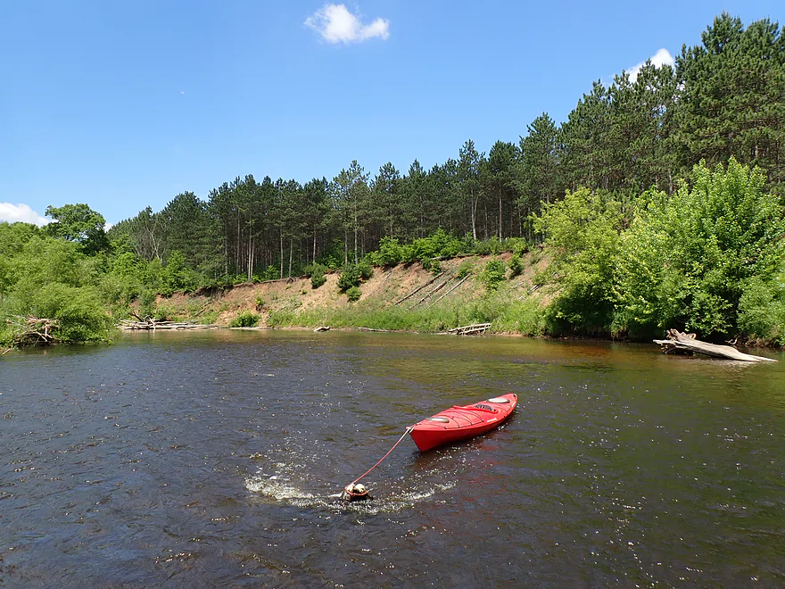
Second major sand bank–this one has a red pine plantation on top
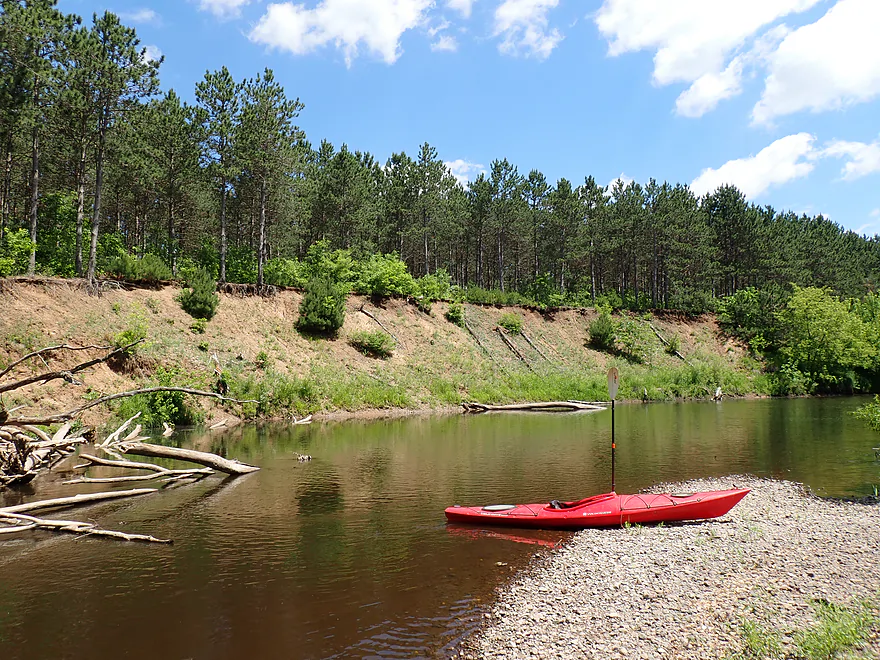
Reverse view
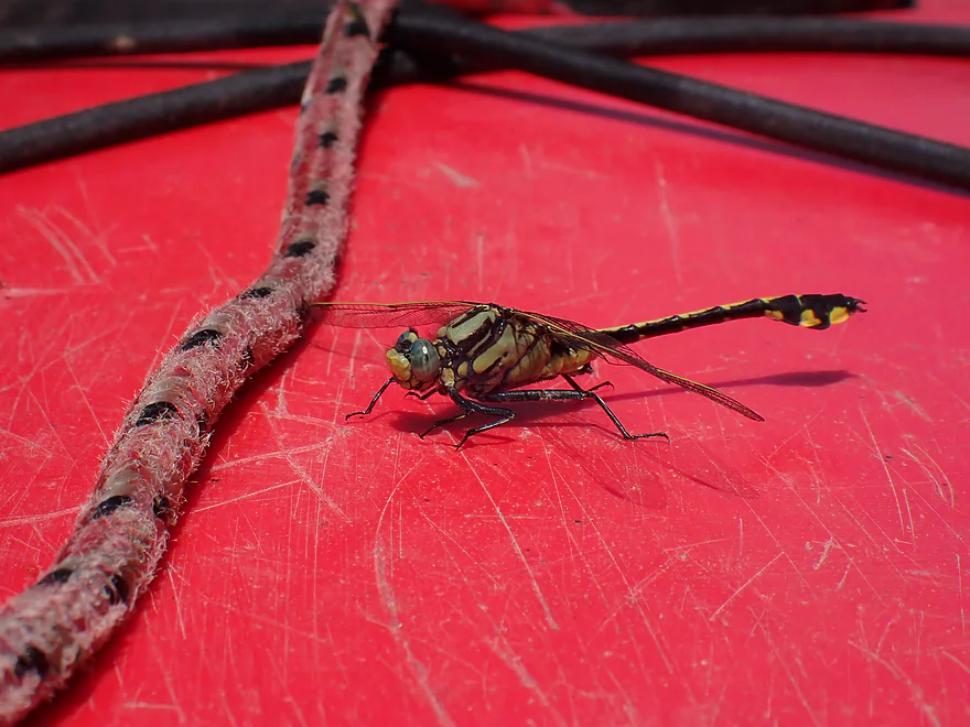
Clubtail dragonfly
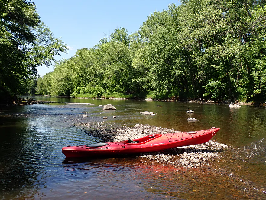
Final half-mile was much more rocky
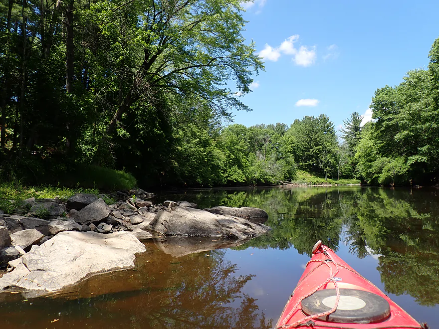
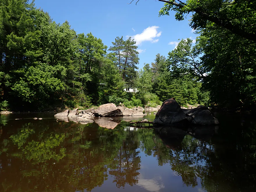
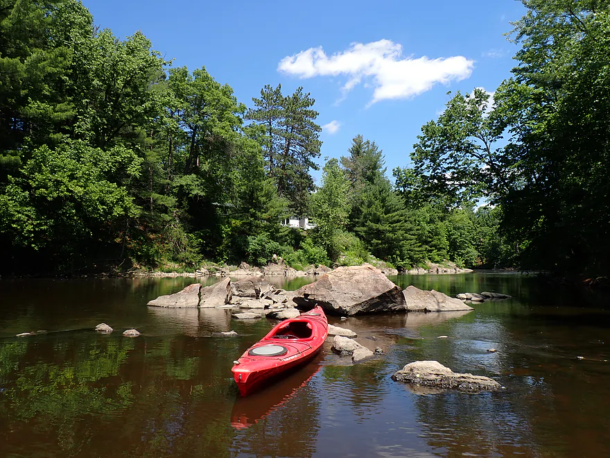
Attractive boulder garden
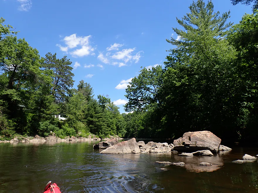
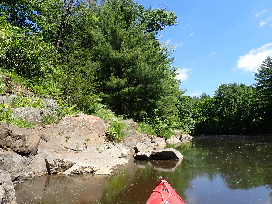
Exposed granite bedrock
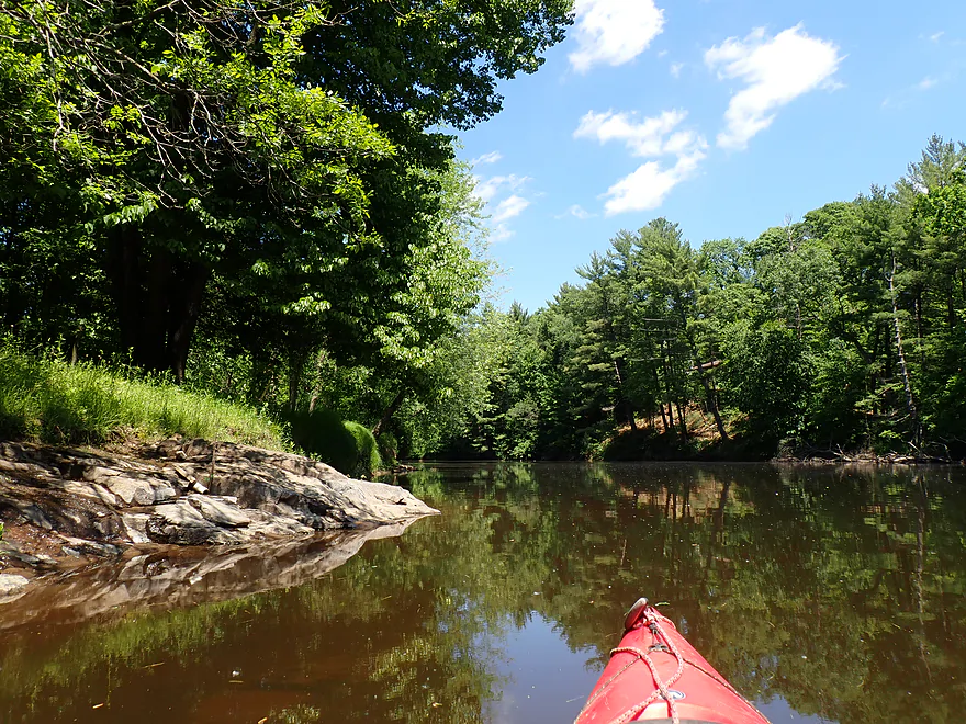
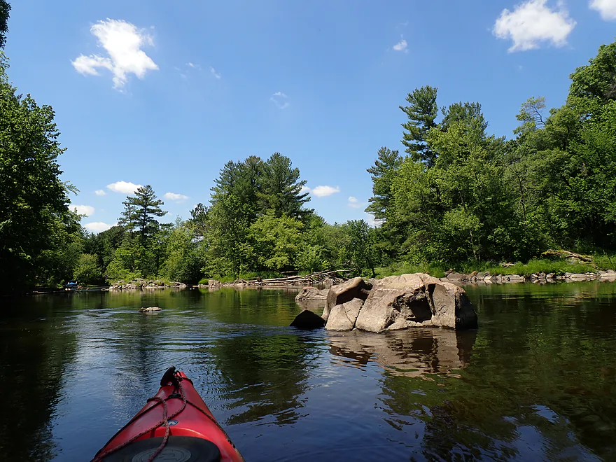
Approaching a pair of granite islands
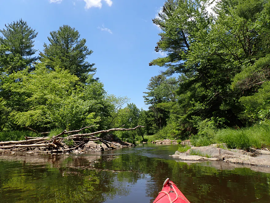
Right channel
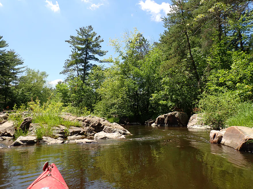
Middle channel
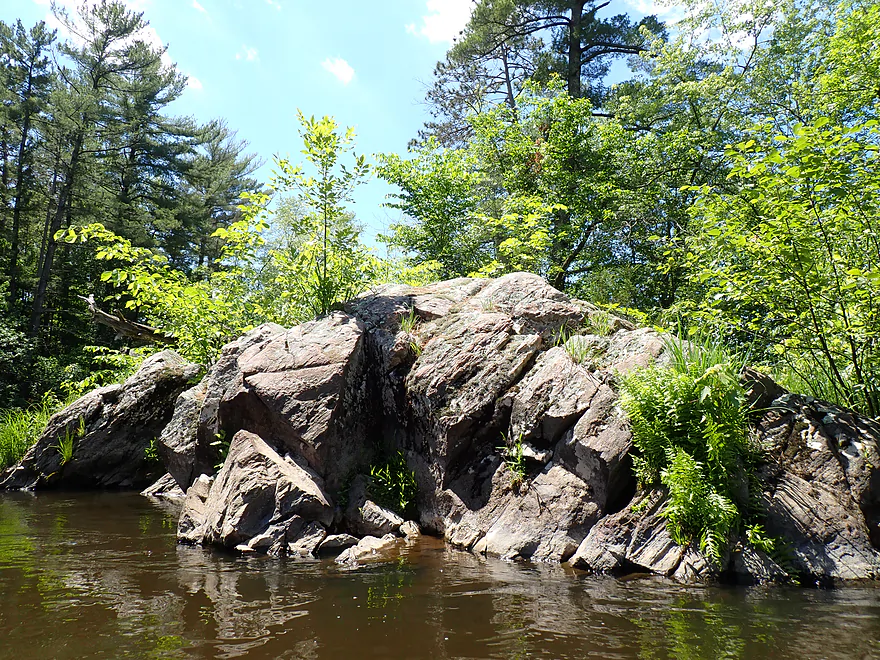
Scrape marks from the last glacier
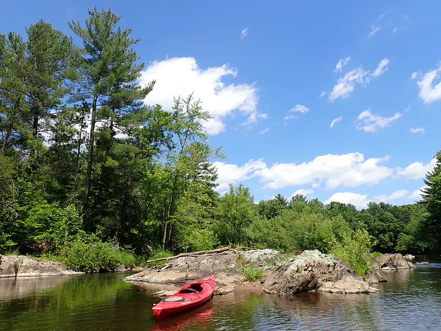
Before the Lake Wissota dam was built on the Chippewa River, there were major rapids and dells here
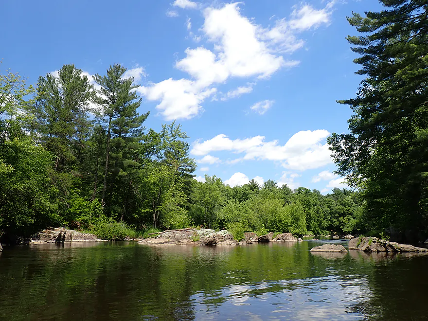
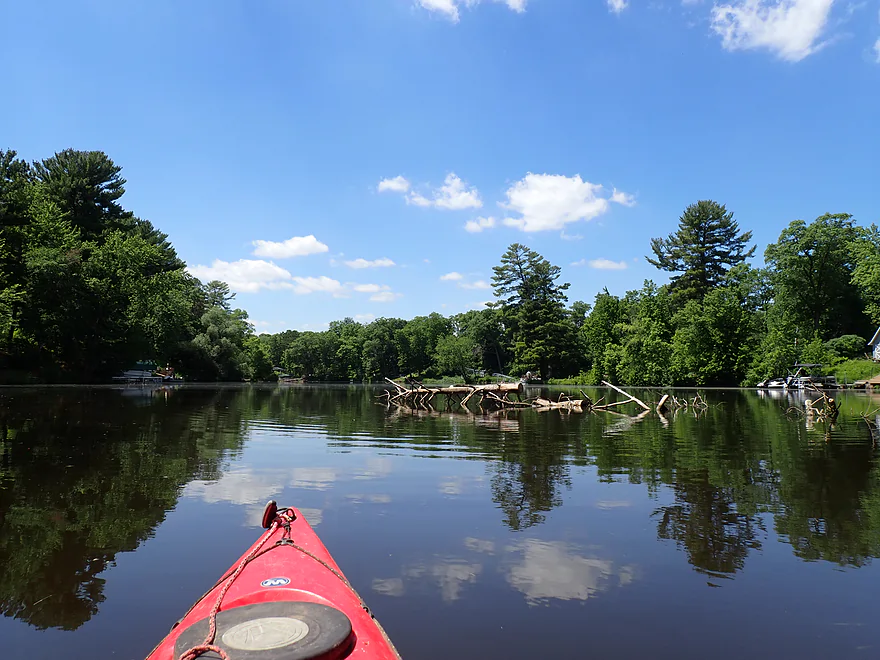
Dead tree in the middle of the channel
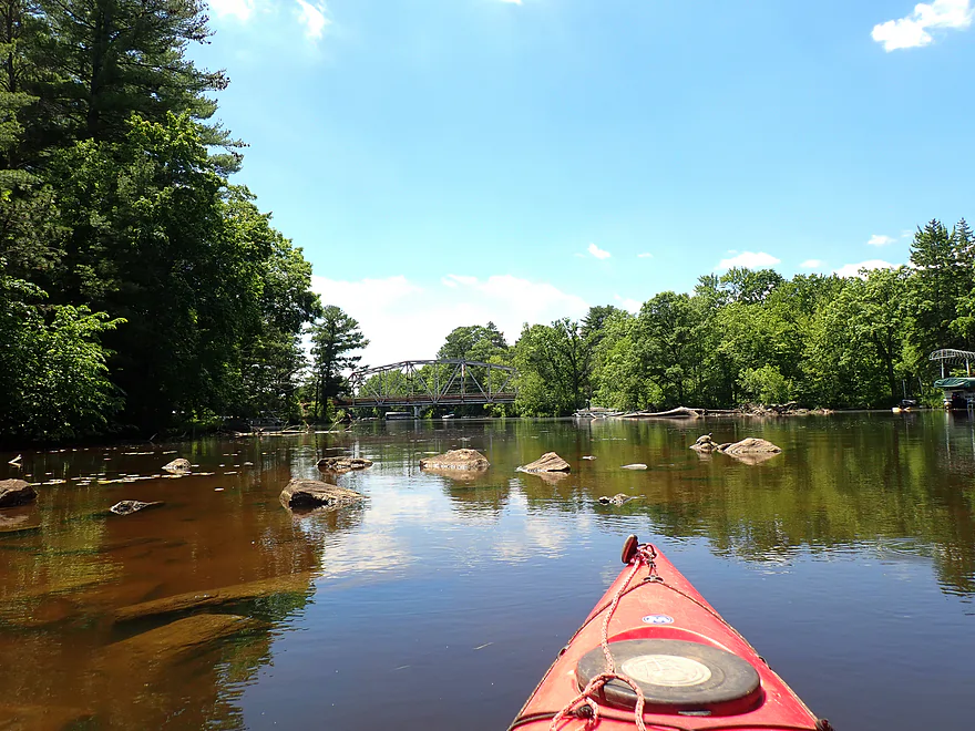
Hwy K is just around the corner
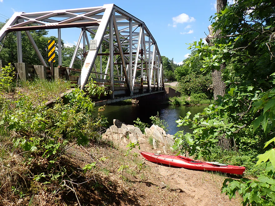
Good access next to a scenic truss bridge
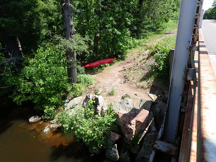
A fishing trail leads to shoulder parking


Yellow River (North Central Wisconsin) – Hwy XX


With so many “Yellow Rivers” flowing through Wisconsin, it’s easy for paddlers to overlook them. One of the best feeds the Chippewa River east of Chippewa Falls. Having enjoyed a rocky section upstream of Cadott in 2024, I decided to return in 2026 to explore the final leg. Initially, I didn’t have high hopes for the trip and thought (incorrectly) it would be just a generic bottomland paddle.
My trip began at the County Highway XX bridge. Launching here required awkwardly hiking around a long guardrail and scrambling down a steep, weedy bank, but it was plenty doable (and I’ve definitely faced far worse).
My first impression of the river was how serene and peaceful it was. Slow (sometimes too slow) current wound past attractive gravel bars. Unfortunately, the banks were mostly lined with lowland silver maple (kind of a weedy tree), but as they leaned over the water, they created cool arches and reflections. The river was filled with life—countless tadpoles, clamshells, and dragonflies were everywhere, with a few landing right on my boat. Constant birdsong provided a jungle-like soundtrack.
The first half of the trip presented a few navigational curveballs. Western Wisconsin was in a minor drought, and the occasional riffly sections that interrupted the longer pools tended to be very shallow. This required me to get out in a few instances, which wasn’t a big deal since the substrate was firm and not mucky. Some of the islands were surprisingly big, and given the lack of current, it wasn’t always obvious which channel to choose, or which might have deadfall. Sometimes it was hard to tell if I was looking at an island or a tributary creek. Generally speaking, choosing the wider channel yielded the best results.
Following the first of two large sandbanks and a sandbar lunch break, I reached the mouth of a significant tributary, Drywood Creek. This roughly marked the halfway point, and from here on, the river’s personality changed completely. The charming gravel bars, sharp bends, and riffles became less common as the channel got much deeper, straighter, more turbid, and somewhat less scenic. Yet, aside from a lone camper, an ATV rider, and the occasional roar of powerboats on Lake Wissota miles away, I would still classify most of the trip as undeveloped wilderness.
Shortly after passing the second large sandbank, the scenery shifted dramatically as I entered the wooded exurbs of Chippewa Falls. The flat lowlands gave way to steep banks of pine, upland hardwoods, and resort homes. For the final half-mile, the river transformed into a rugged labyrinth of attractive boulder gardens—easily the scenic highlight of the paddle. Here, the water cuts directly through ancient Precambrian granite bedrock, exposing deep-time geological formations that completely change the river’s character.
The trip terminated by a small granite island that divided the river into two narrow channels. Before the Wissota Dam was built downstream in 1917, this bottleneck was a roaring Class II-III canyon known on old maps as “the dells.” Early timber drivers wrote about the intensity of shooting logs through these narrow dells.
Today, it is a prime example of “submerged rapids” as the rugged gorge is swallowed whole by the reservoir. The river now moves through these massive granite blocks with just a whimpering riffle. I caught it at a good time; Lake Wissota’s levels fluctuate, and I was on the low end. During high water, some of these boulders are completely obscured. On the flip side, if you are lucky enough to paddle this stretch during a significant dam drawdown, the receding pool would expose more pronounced dells, revealing roaring rapids or even falls hidden just beneath the usual waterline.
Right around the bend was the Highway K bridge, a rustic steel through-truss structure with an obscure fishing path that made for a decent kayak take-out. Pushing onward into Moon Bay and Lake Wissota proper was an option, but it wasn’t what I was in the mood for. It would have meant a longer bike shuttle, crowded boat ramps, and limited parking. Plus, it would have required lake paddling—and while Lake Wissota is highly regarded, I just wasn’t up for a long grind across open flatwater.
All in all, this was an enjoyable paddle. The first half felt like a charming gravel creek, and while the stretch after Drywood Creek was less interesting, that final half-mile of rugged granite and pines pushed my rating from a 4 to a solid 4.5 stars. Despite the awkward guardrail at the launch and a few shallow riffles, I highly recommend this route to Eau Claire and Chippewa Falls locals looking for an easy, scenic adventure.
The river was alive with huge schools of tadpoles, countless clamshells, crayfish, splashing fish, whirligigs, a map turtle, a few deer along the bank, singing songbirds, and many dragonflies, including some that landed on my boat. The softshell turtles were surprisingly fast—sunning themselves on the gravel bars and then sprinting for the water the instant they saw me.
Lake Wissota State Park: By Wisconsin standards, this is a weaker park for scenery—mostly just generic Northwoods along a man-made lake. But if you’re looking for a cheap overnight option, its campsites are well-regarded with good privacy.
Hwy XX: This isn’t an ideal bridge access, but it’s doable. A long guardrail separates shoulder parking from the water, which required dragging my boat 350 feet. The embankment is a bit steep and weedy, but not bad, and it was easy to launch by the rocks directly under the bridge.
Alternate Put-ins:
- Cadott (4.4 miles upstream from Hwy XX): There is a public access along the north shore between the dam and the Main Street bridge. I don’t know much about this leg, but satellite maps suggest it’s a generic bottomland paddle with a few minor boulder fields and one nice sandbank. The boulder field and rapids below the Main Street bridge are likely the trip highlight.
Hwy K: Along the south bank, there is a small pull-off and fishing access. It is a bit rocky but otherwise serves as a very good access option. Be mindful not to wander too far east, as the wayside only extends about 30 feet before you encounter private property.
Alternate Take-outs:
- Lake Wissota – 196th Street Landing (0.8 miles downstream from Hwy K): This is a public boat ramp, but parking here is challenging. You absolutely cannot park at the base of the hill near the ramp, and the top of the hill along 196th Street is heavily posted with no-parking signs. I spotted a few trailers parked east of the road where there is a vague gap in the signage, so that may be an option. While it is a viable boat launch, the parking situation is bound to be stressful. The leg between Hwy K and 196th Street is just generic flowage paddling along the eastern end of Moon Bay.
- Lake Wissota – State Park Landing (1.6 miles downstream from Hwy K): This is a good access point, but note that a Wisconsin State Park admission sticker is required. Also keep in mind that the landing sits at the end of a long, dead-end park road, which makes bike shuttling incredibly difficult. The leg preceding the state park launch is simply a generic lake paddle across Moon Bay.
Bike Shuttle – Hwy K to Hwy XX: 5.3 miles with 72′ of ascent. This was a mostly pleasant and easy bike shuttle, aside from a few busy stretches. However, please note that I was aggressively chased by a small dog at 67th Avenue (exact location). Thankfully, I was on flat ground and managed to outrun it, but it was one of the more unpleasant dog encounters I’ve had on a shuttle. Detouring around 67th Avenue is easy to do and highly recommended—otherwise, pack some pepper spray.
Logjams/Fences: None.
Rapids/Current: The current is mostly slow, punctuated by a handful of minor Class I rapids and riffles. None of the rapids are overly technical; however, during high water, paddlers should exercise caution to avoid being pushed into shore-side strainers.
Closest Gauge: North Fork of the Yellow River @ Perkinstown
Trip Depth: 8.98′
Navigability Estimates: Note, this gauge is located VERY far upstream from the mouth so it may not be accurate. Also note, there isn’t a lot of good historical data to reference, so depth estimates are likely somewhat inaccurate. Always use your own judgment. If you do this stretch, please share your depth and how viable it was in the comments below.
- < 8.1′: Maybe too shallow
- 8.1-8.2′: On the low end. Some riffles will have to be waded, but the slower parts of the river will be plenty deep. I suspect most paddlers would prefer a deeper level.
- 8.3-8.5′: A bit low, but a good target range with nice gravel bars.
- 8.6-9.0′: A solid average range. Water clarity may not be as good though and some of the gravel bars may be submerged.
- 9.1-10.0′: High levels. Likely manageable but not as scenic.
- 10.1-12.0′: Maybe flood levels. I think this stretch would be navigable but it really wouldn’t be ideal.
Detailed Overview
Click here to see an overview map of the Yellow River.
- Upstream from Yellow River Road: The river splinters and may be less kayak-friendly, but I suspect there are viable sections for determined paddlers.
- Yellow River Road to FR 575: 7.1 miles. Technically this is the North Fork. Rick Kark describes this as having lovely surroundings, being shallow, having a number of rocks, and two sets of Class I rapids.
- FR 575 to Hwy M: 3.8 miles. I don't know much about this leg. It seems to start wooded and ends in a marsh.
- Hwy M to Diamond Drive Ramp: 1.4 miles. The north end of Chequamegon Waters Flowage.
- Diamond Drive Ramp to Miller Dam: 2.7 miles. The western end of Chequamegon Waters Flowage.
- Miller Dam to Beaver Creek Road: 1.1 miles. Attractive wooded section with light rapids, and rocks.
- Beaver Creek Road to Gilman Scout Park: 7.4 miles. Some light rapids and rocks, but not as many as the previous stretch. Still very wooded.
- Gilman Scout Park to Gilman Public Park: 0.3 miles. Short stretch between the Gilman Parks. Highlights include several scenic bridges.
- Gilman Public Park to Polley Lane: 4.2 miles. One of the best stretches on the river with some fun Class I-II rapids including "Oxbow Rapids". There should be a few small cliffs on this leg as well.
- Polley Lane to River Road: 3.0 miles. A pleasant leg with a few potential outcrops.
- River Road to Hwy S/H: 1.8 miles. Good stretch with more woods, light riffles, and rocks. But maybe not as good as the previous two legs.
- Hwy S/H to Hwy S: 1.5 miles. Very shallow rocky stretch by Hwy S. (Streetview Image)
- Hwy S to 350th Street: 2.3 miles. Rick Kark was disappointed with this leg and thought it was a bit monotonous and lacking in rapids.
- 350th Street to Hwy G: 3.0 miles. Rick Kark was disappointed with this leg and thought it was a bit monotonous and lacking in rapids.
- Hwy G to 327th Street Access: 3.1 miles. Probably an OK stretch...but be warned this leg could have several serious logjams.
- 327th Street Access to Patty's Park: 3.4 miles. Likely a good leg with a few nice boulder gardens.
- Patty's Park to 130th Ave: 2.1 miles. A good prospect with a number of shallow light rapids. There appears to be a scenic boulder garden and maybe a Class II chute above 130th Ave. (Streetview Image)
- 130th Ave to Hwy D: 2.3 miles. A very good prospect with likely some cliffs, boulder gardens and rapids. There may be a significant Class II ledge located downstream from 130th Ave.
- Hwy D to Hwy O: 5.5 miles. A good prospect with some nice cliffs. (Streetview Image)
- Hwy O to Riverview Park: 4.8 miles. A great trip with some nice boulder gardens, fun Class I+ rapids, pleasant wooded scenery, and small outcrops. There is a bit of flowage paddling near the end of this trip.
- Cadott Dam to Hwy XX: 4.4 miles. I don't know much about this leg, but looking at satellite maps, it looks like a generic bottomland paddle with a few minor boulder fields and one nice sandbank. The boulder field and rapids below the Main Street bridge are likely the trip highlight.
- Hwy XX to Hwy K: 5.3 miles. Very nice stretch with a mix of bottomlands, minor rapids, gravel bars, and several scenic sandbanks. The highlight is the final half-mile which features attractive granite boulders and exposed bedrock.
- Hwy K to Lake Wissota Landing - 196th Street: 0.8 miles. A possible short add-on stretch through Lake Wissota's Moon Bay to reach a public ramp. I think this would be a mediocre lake paddle. Note parking at the 196th Street ramp may be difficult.
- Lake Wissota Landing - 196th Street to Lake Wissota - State Park Ramp: 0.8 miles. Another possible short add-on stretch through Lake Wissota's Moon Bay to reach a public ramp. I think this would also be a mediocre lake paddle. The State Park Landing is very good, but it would necessitate an unpleasant shuttle because it's at the end of a long dead-end road.
Trip Map
Overview Map
Video
Photos Size:
How did your trip turn out? Questions or comments? Feel free to leave your feedback.
