
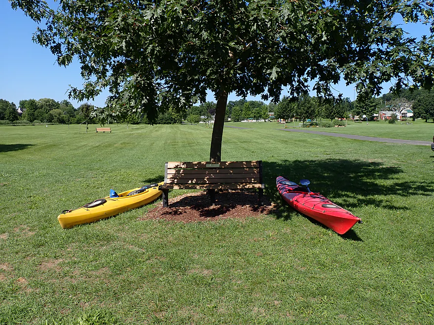
Starting at Exeter Park (parking is way at the back of the picture)
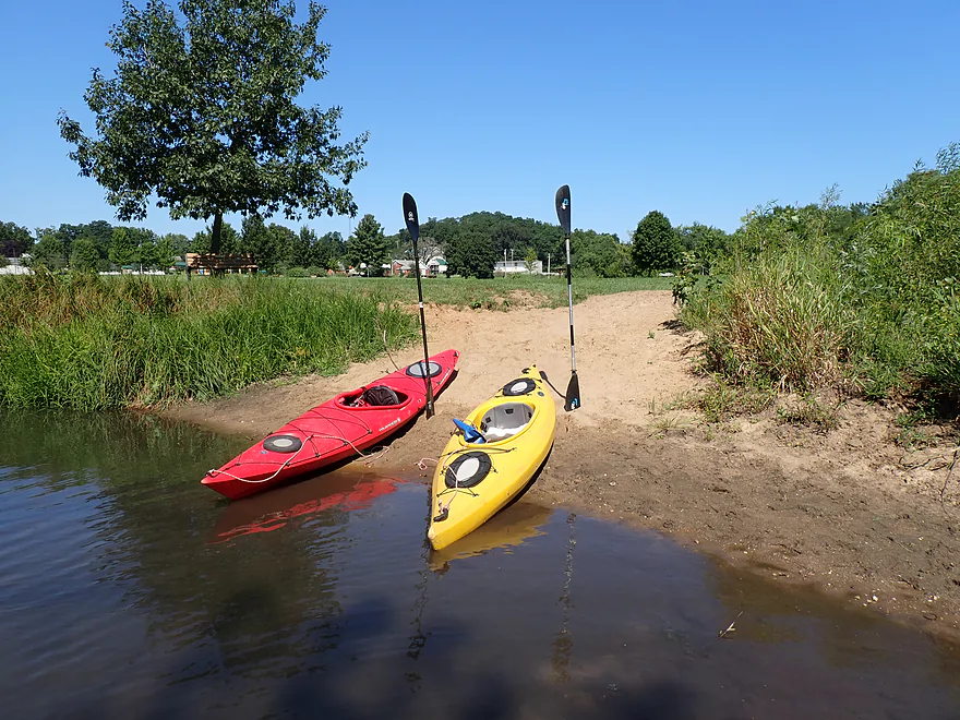
Nice beach access
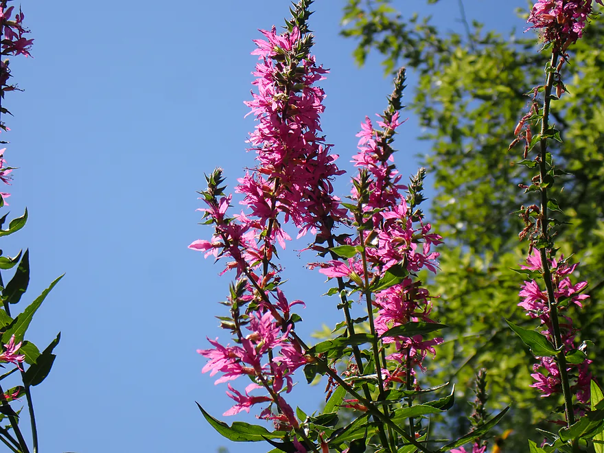
Purple loosestrife
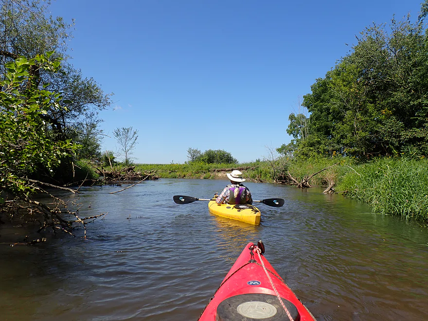
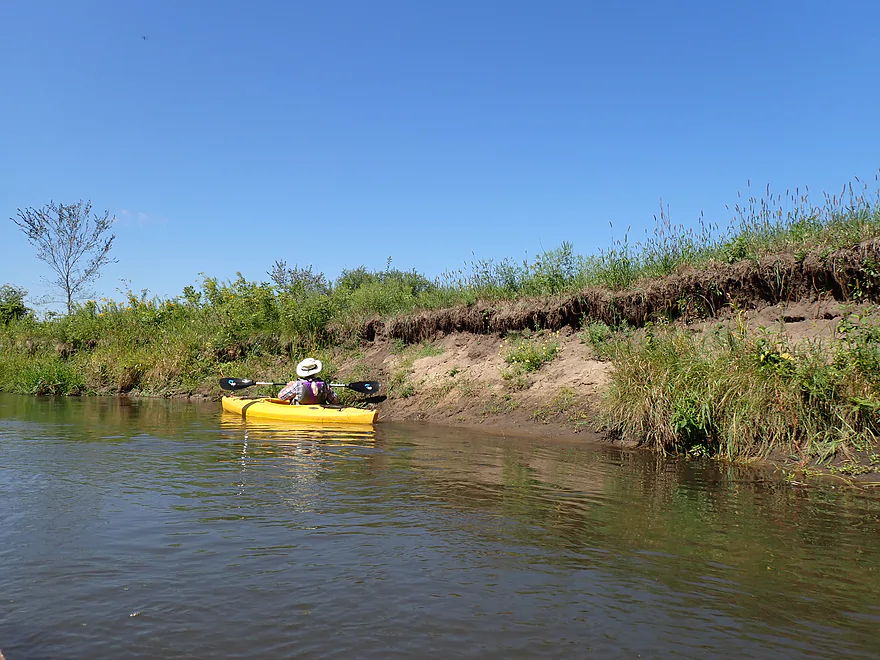
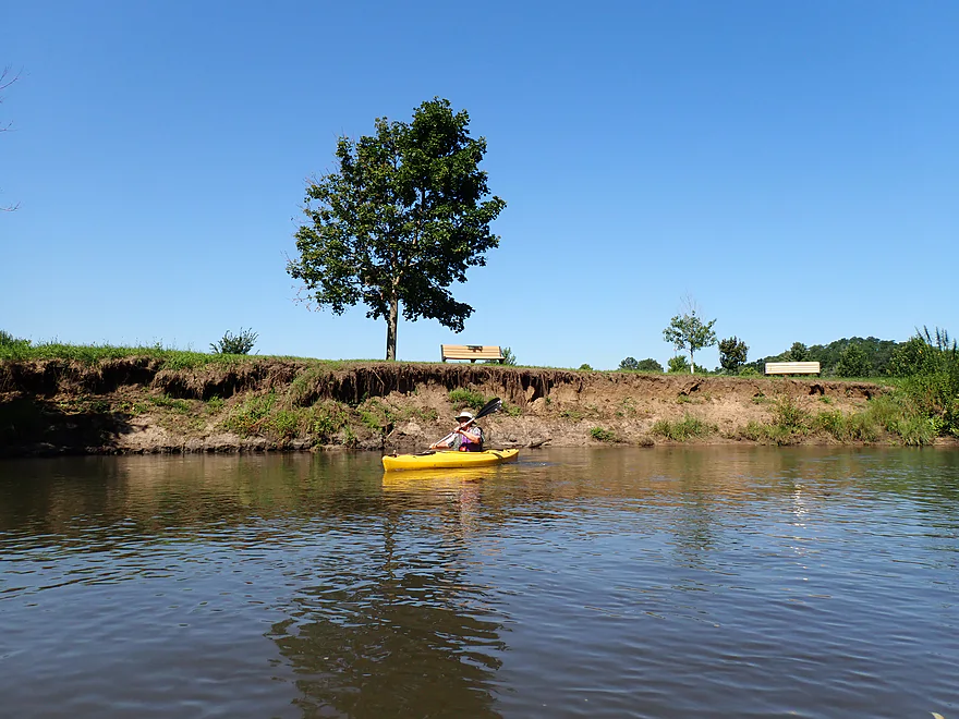
Not too many mud banks…but a few
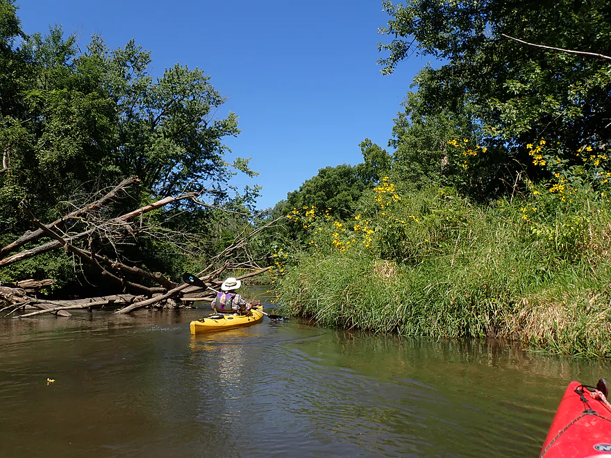
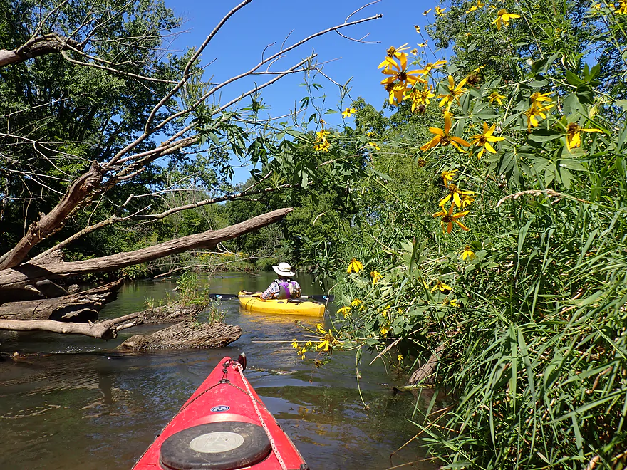
So many yellow coneflowers–they lined much of the river
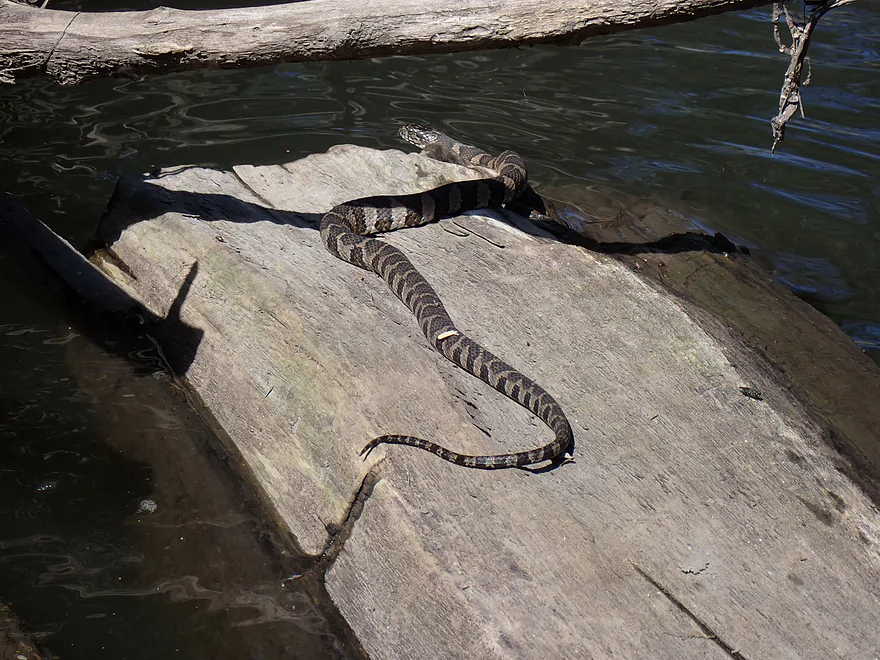
Friendly water snake posing for a photograph
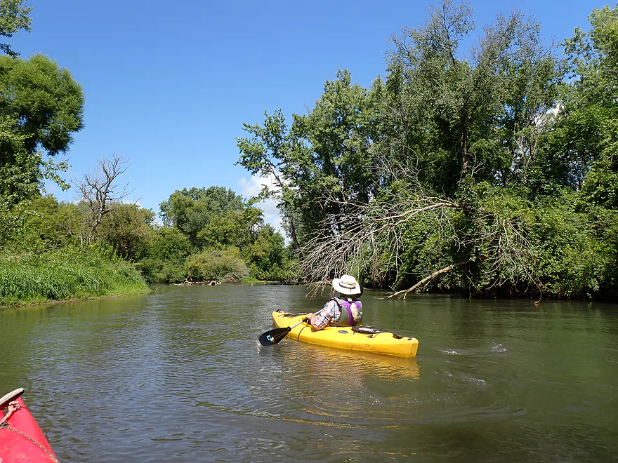
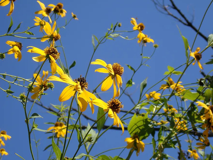
August is a great time for flower paddles
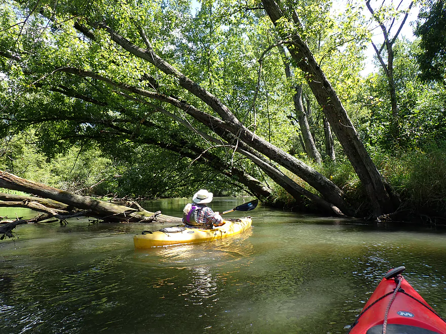
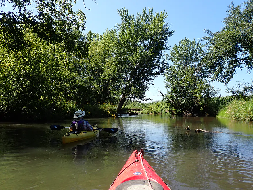
Entering a more wooded stretch
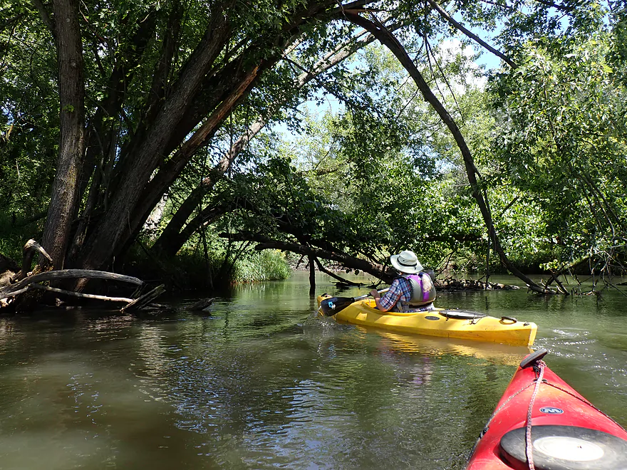
This trip does require some debris dodging
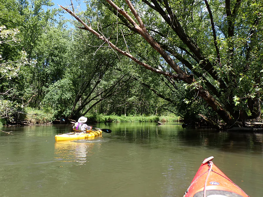
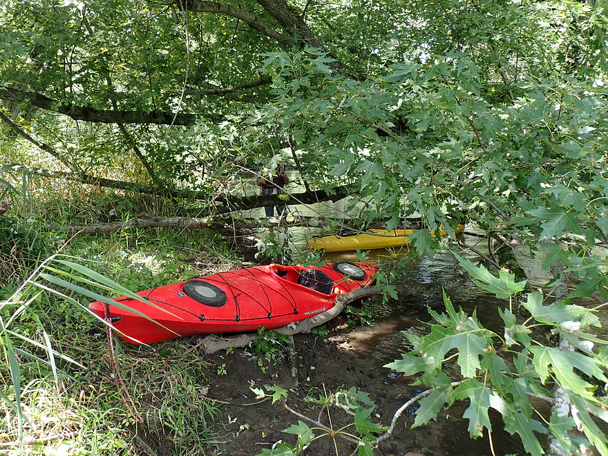
Only portage of the trip
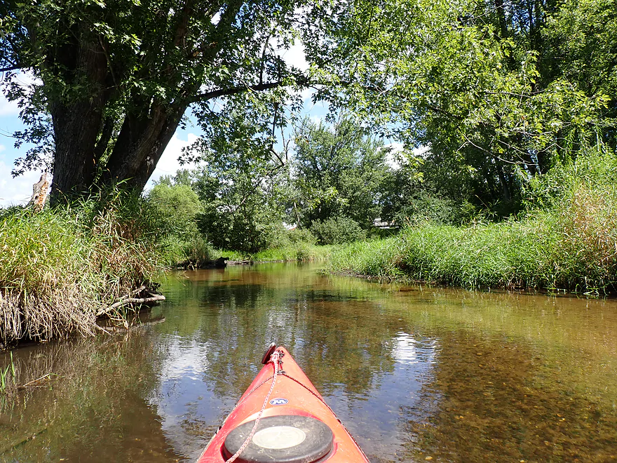
Mouth of Story Creek
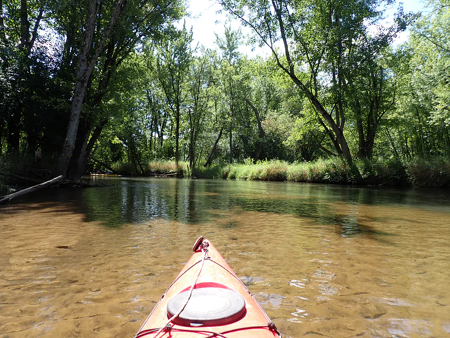
The clear creek water was a contrast to Sugar River’s turbid water
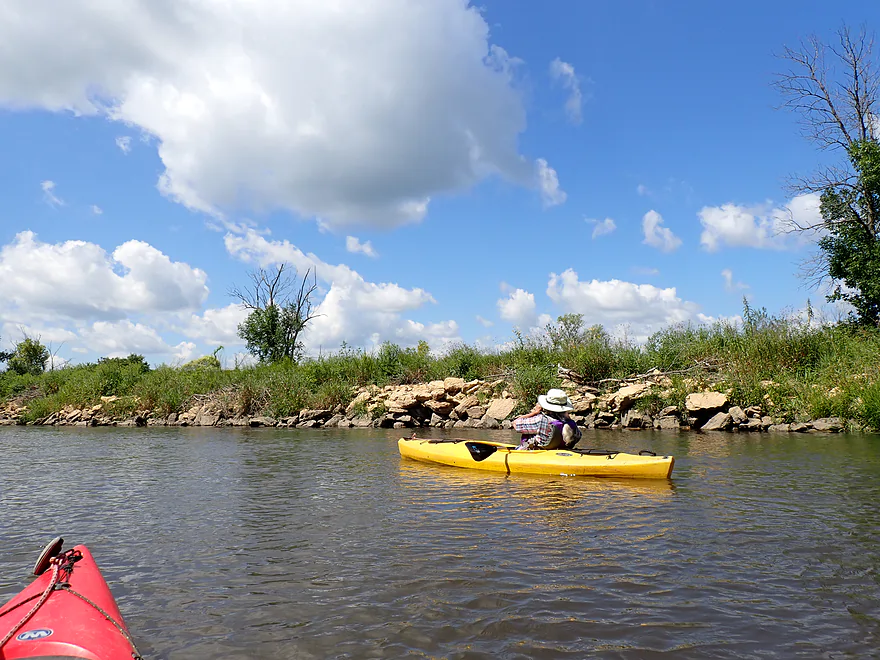
Some artificial riprap
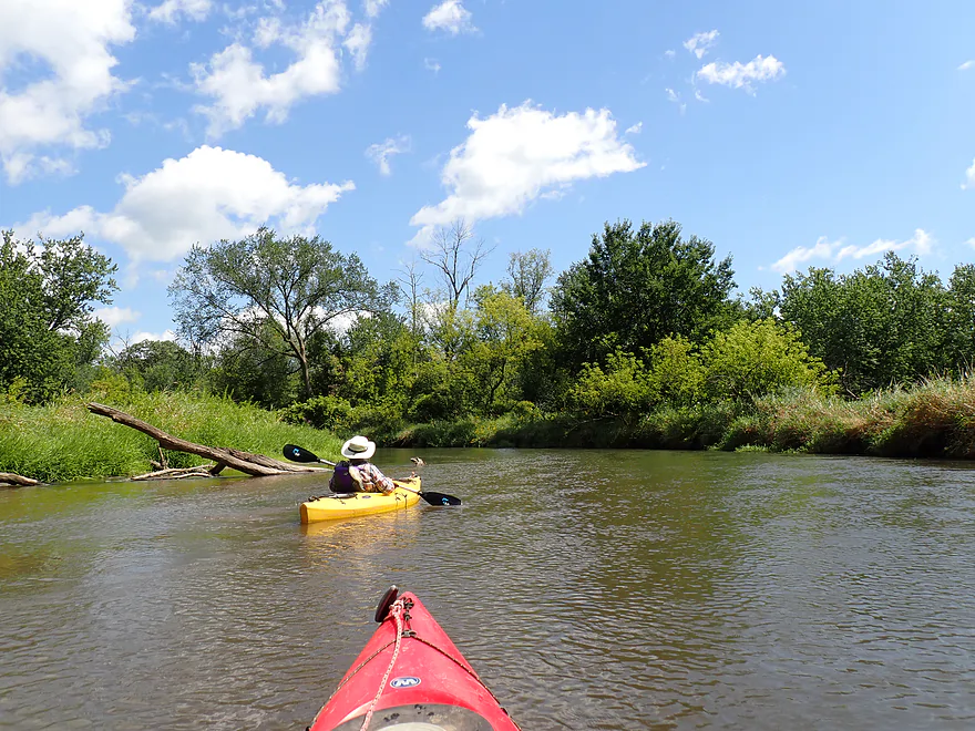
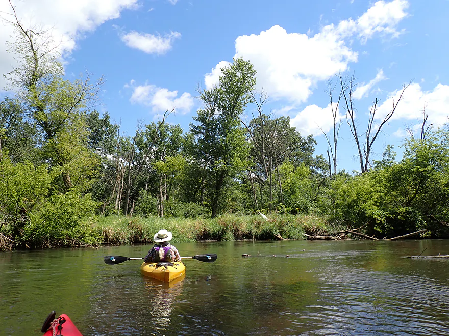
Quite a few dead trees (mostly ash)
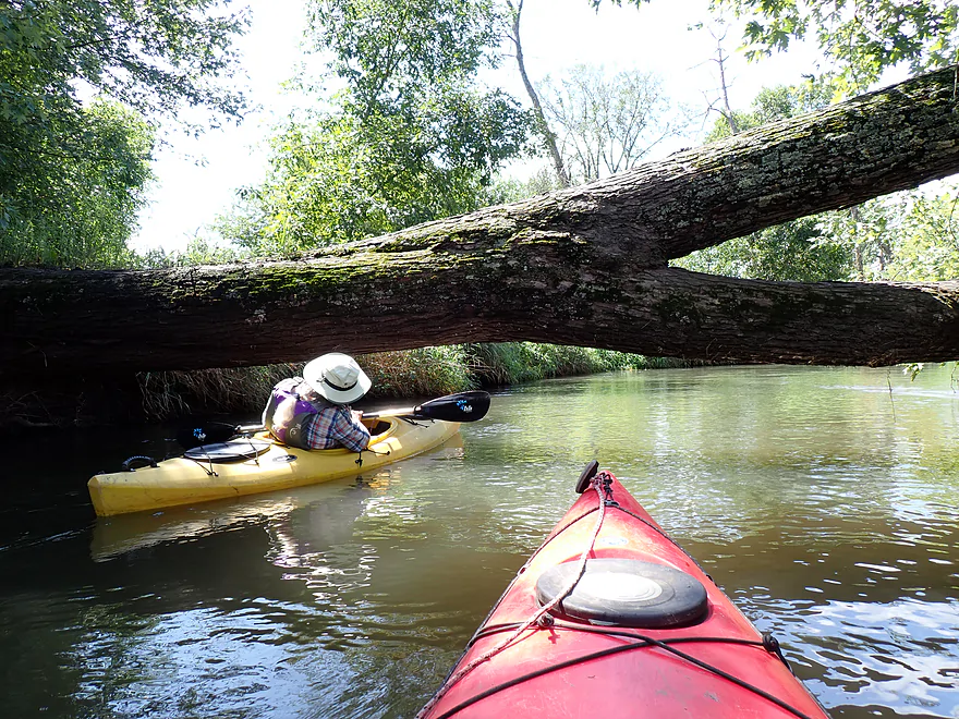
Some trees had to be limboed
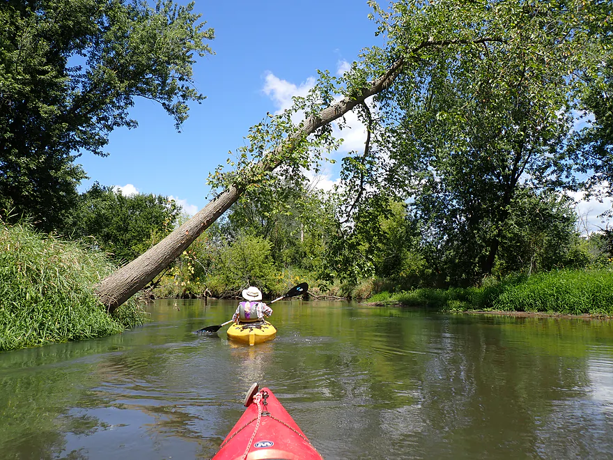
Future logjam
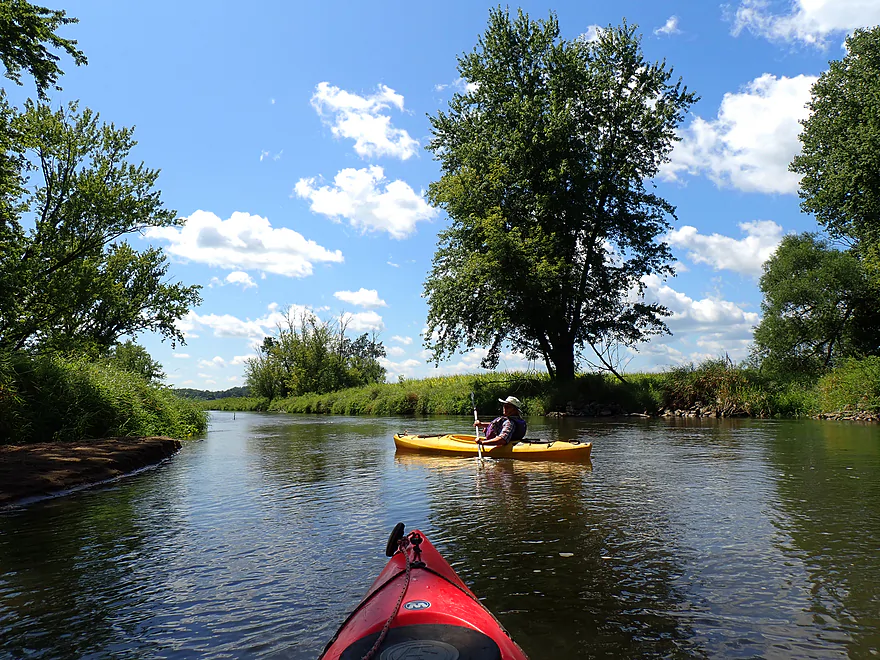
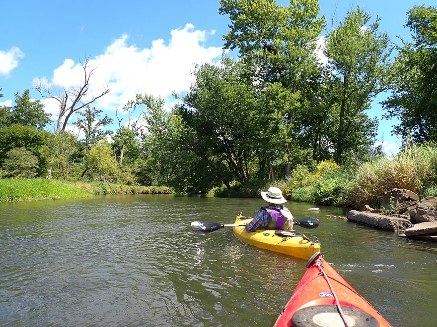
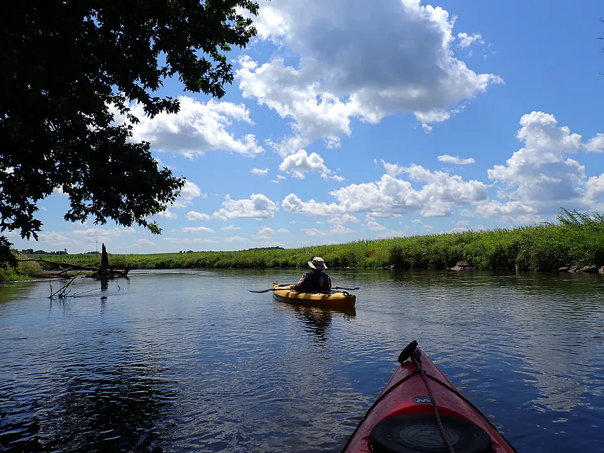
River starts to open up
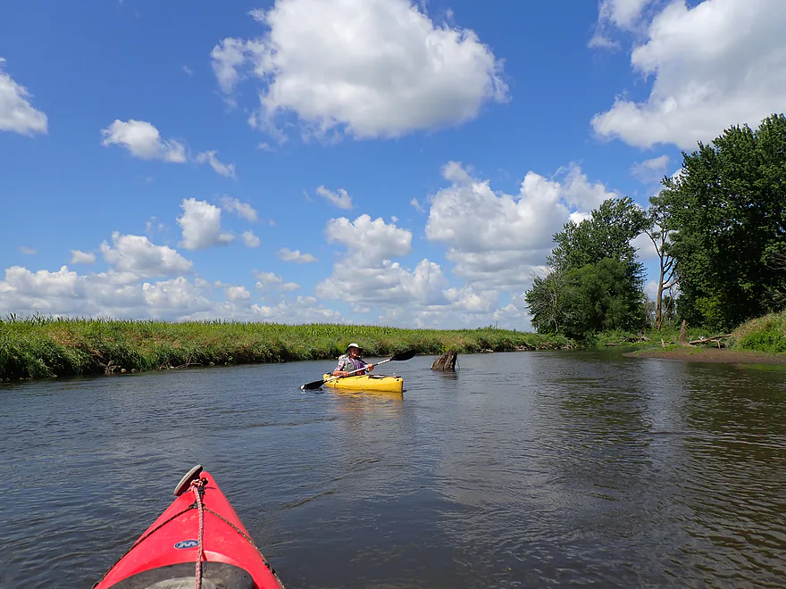
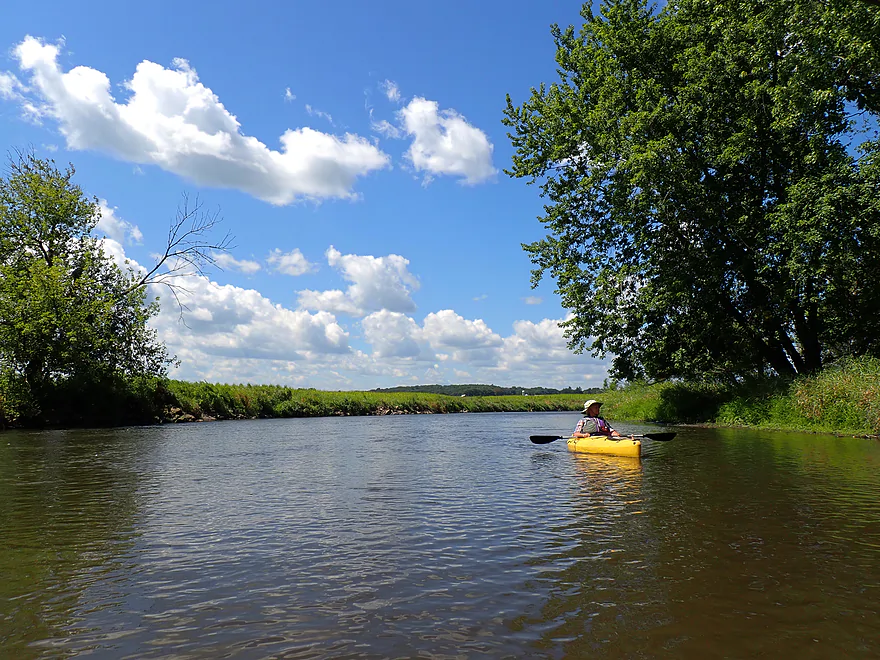
Some cornfields on the trip
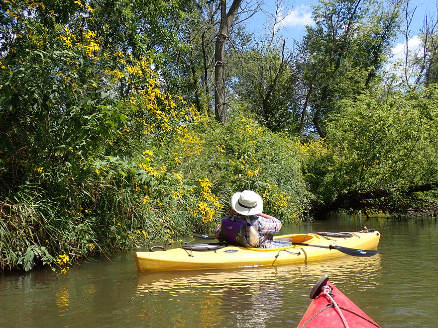
More cutleaf coneflowers
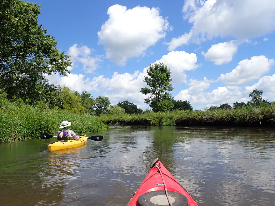
Great cloud day
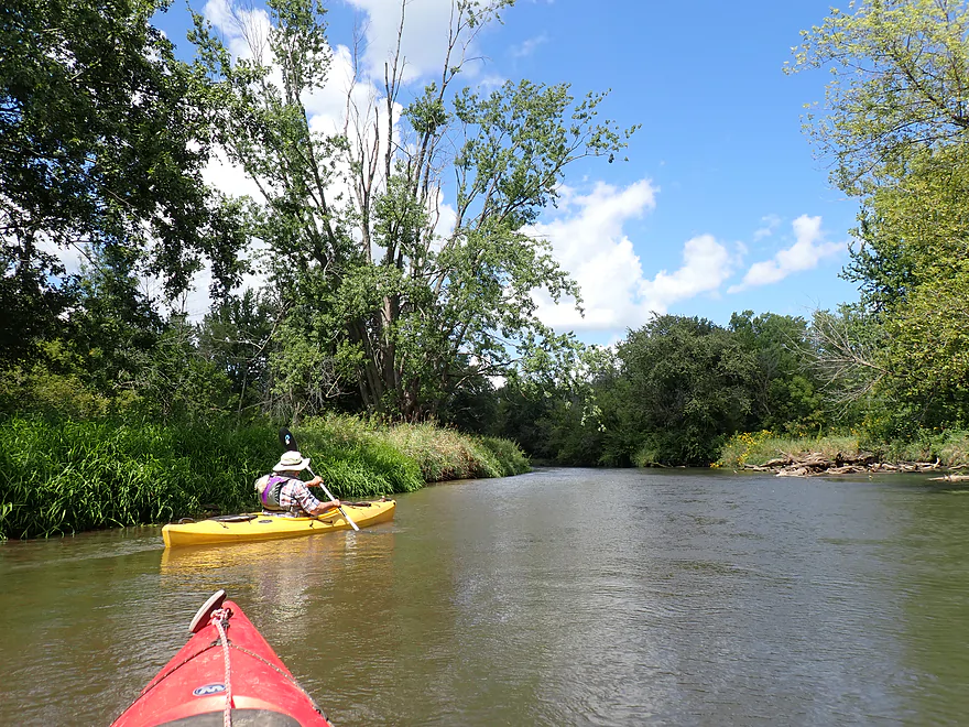
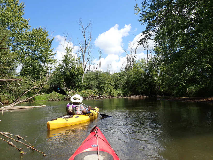
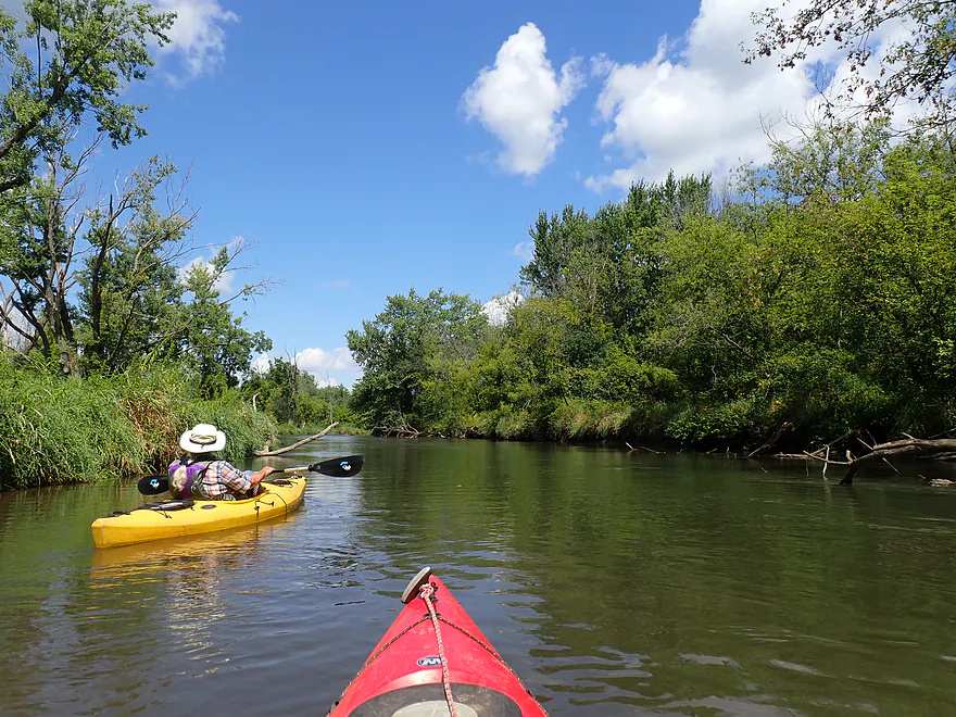
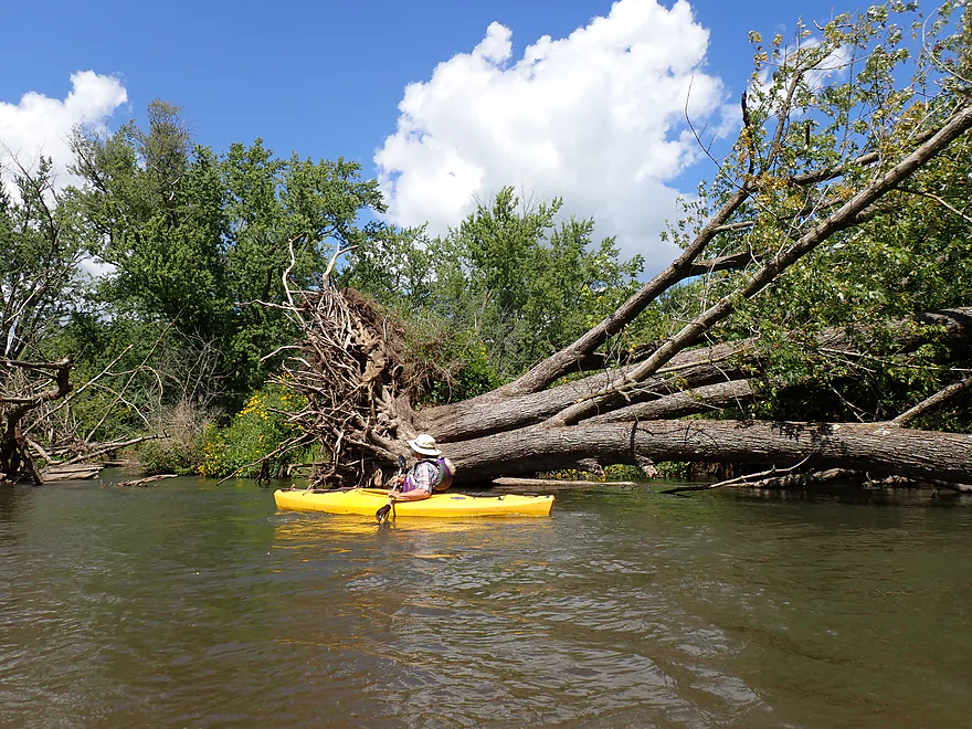
Massive downed tree
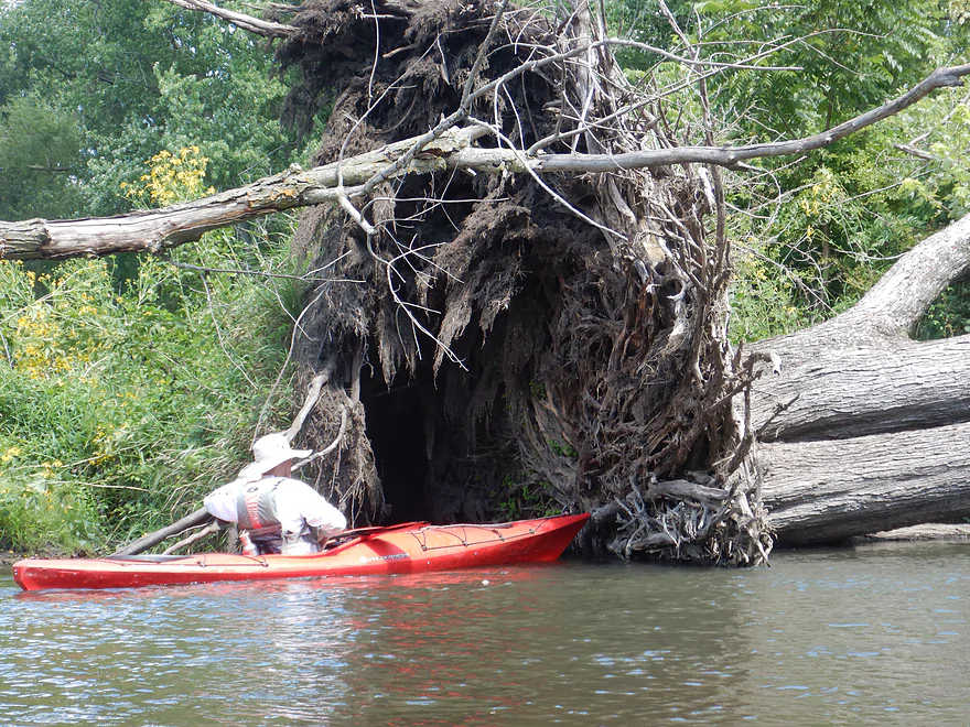
Huge root system
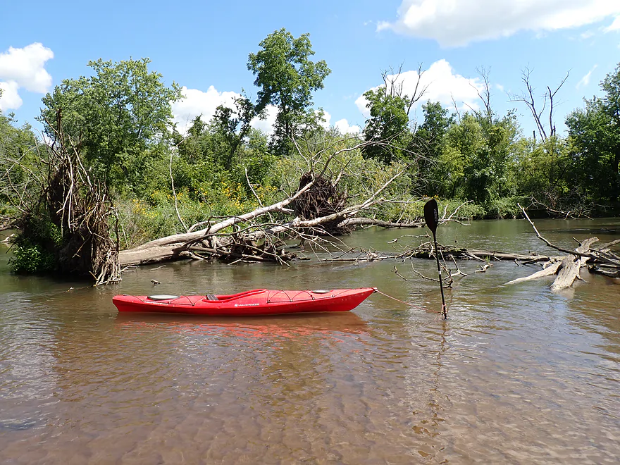
River was 99% plenty deep…this was one of the few shallow spots we had to walk
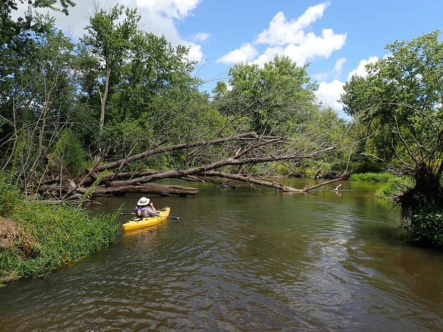
Downed tree in fast current
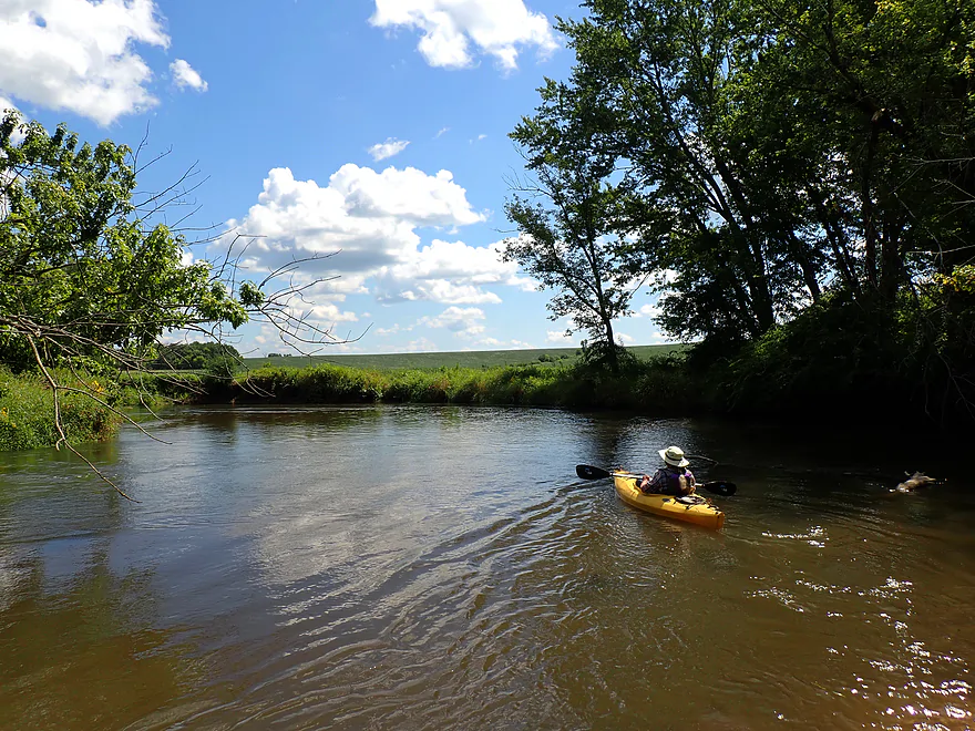
Large glacial hill redirects the river east
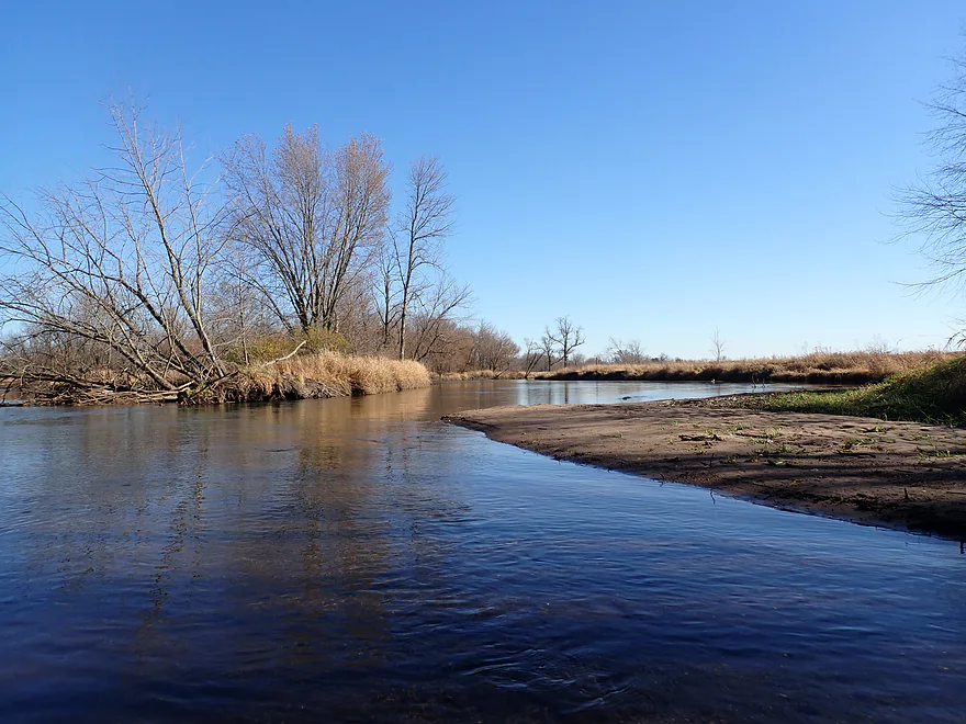
Some sandbars (November picture)
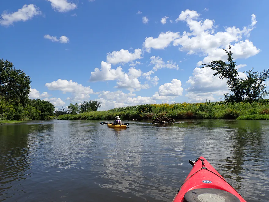
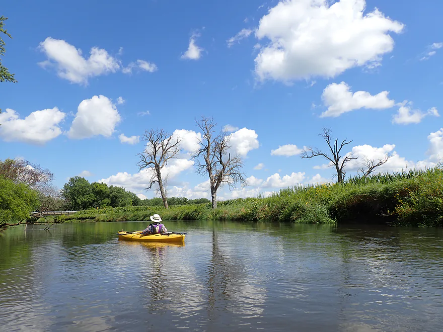
Cool scene
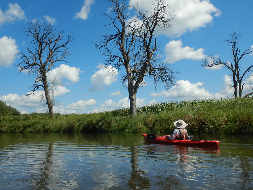
The ghosts of ash trees past
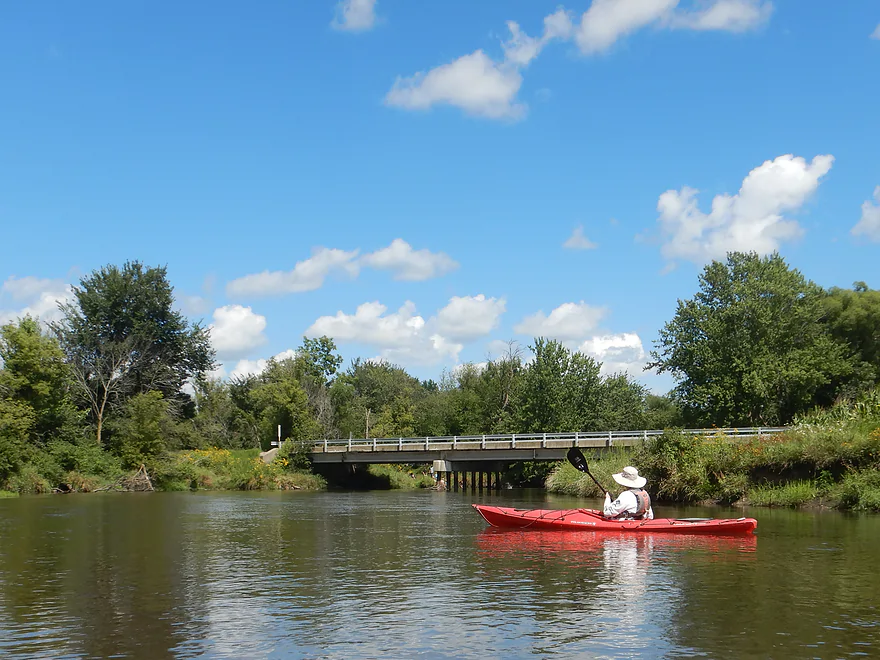
Cty X bridge
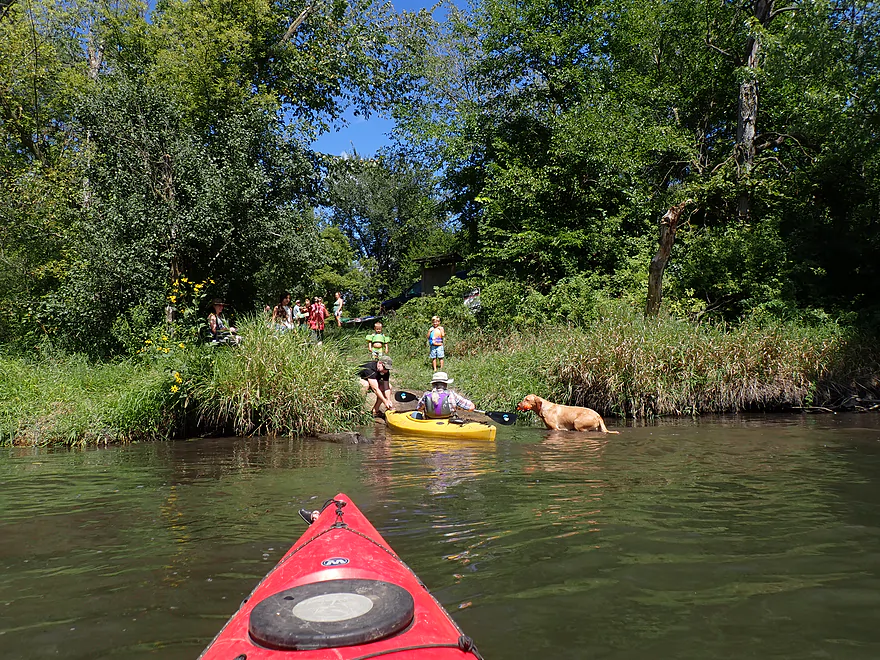
A surprise welcoming committee
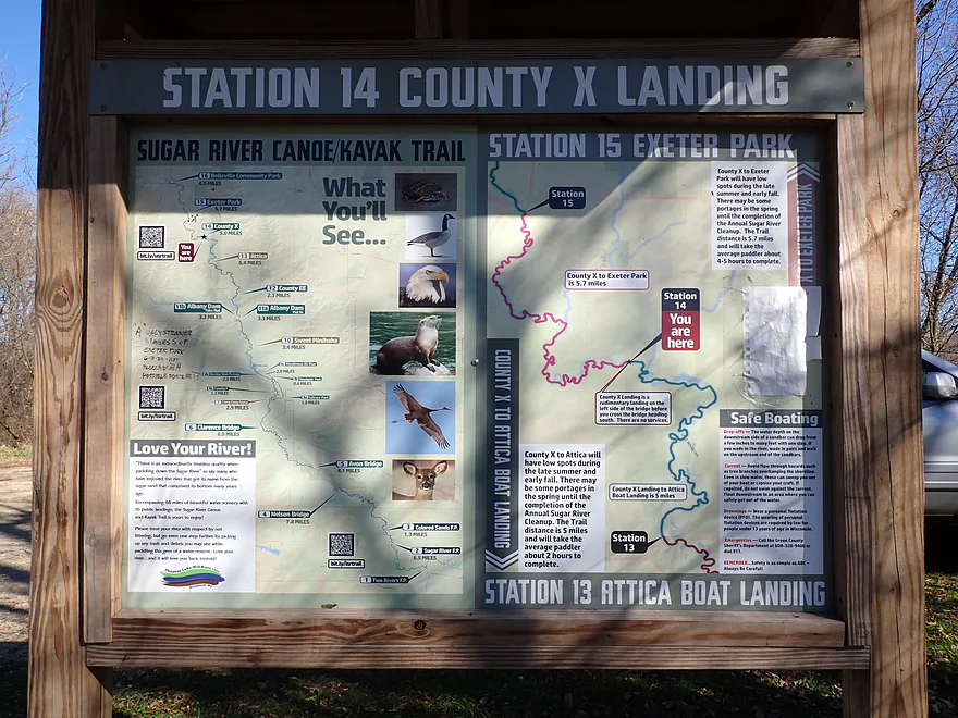
The Sugar River landings have terrific signage
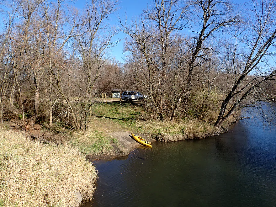
View of landing from bridge (November)
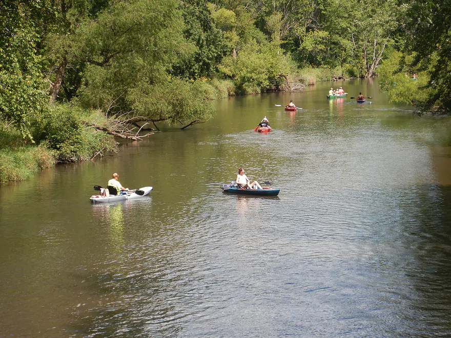
Part of a much larger convoy that just launched
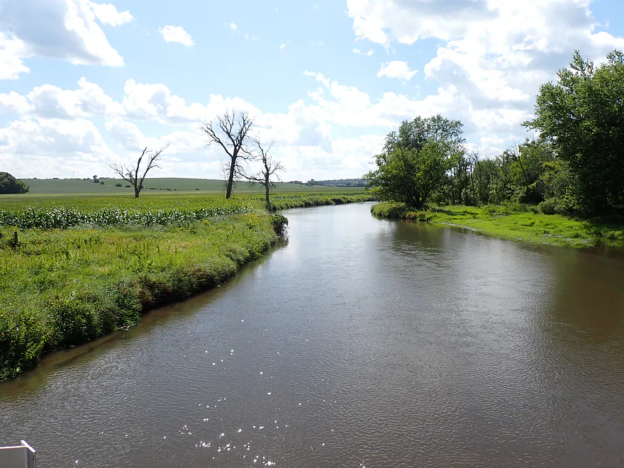
Upstream view from bridge
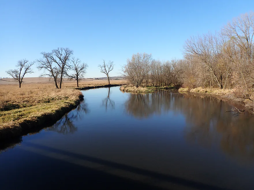
Same view but in November


Sugar River – Exeter Park


The Sugar is a popular paddling river flowing almost due south of Madison. For this trip, we put in at Exeter Park just south of Dayton. Despite a slightly goofy parking situation, it’s a terrific public access with a nice sandy area for launching.
The river started out twisty, winding through a series of sharp turns. The banks were mostly weedy and beat-up, flanked by messy floodplain trees and the occasional cornfield. Water quality was poor. Still, the section had a pleasant charm to it.
One advantage of an August paddle is the abundance of bankside flowers, and the Sugar had more than I’ve ever seen on a paddle. The highlight were the many bright yellow coneflowers swaying in the breeze . Add in a few small sandbars, clear gravel runs, and downed trees arching over the channel, and it made for a surprisingly scenic stretch.
Unfortunately, recent storms have hit the area and deadfall in the water was somewhat common, but usually it wasn’t difficult to “thread the needle.” Care had to be taken though as the current moved surprisingly fast and it would be easy for a paddler who wasn’t paying attention to get pinned by a strainer.
The Sugar is both a safe river, popular with locals (we saw a lot of past chainsaw work), and a deceptively dangerous river because of the current and deadfall combo, especially in high water. There have been several high profile drownings on the Sugar in recent years and I highly advise paddlers to wear their life jackets.
About 3 miles into the trip, we finally encountered a downed tree we couldn’t bypass. The portage was easy enough, even if it was a bit muddy. Unlike its neighbor to the west (the Pecatonica), the Sugar’s banks are relatively flat, which means even if you do have to portage it’s usually not horrendous.
Marking roughly our halfway point, Story Creek provided a striking contrast, pouring crystal clear water straight into the muddy Sugar. I have reviewed it in the past, and while nice, it is definitely not for casual paddlers, as there are several obstacles, including a fence, to contend with.
After Story Creek the river really changed for the better. The current relaxed, the channel widened, and the banks opened up to expansive views of the surrounding countryside. Here an impressive drift-mantled bedrock hill redirects the Sugar sharply to the east. Located right on the margin of the Driftless Area, this hill was likely shaped by ice sheets that softened its edges without burying it entirely. We often picture a rigid line dividing the glaciated terrain from the Driftless Area, but geologic transitions are full of gray areas, and this stretch is a great example.
We ended the trip at the Hwy X landing, a great public access point where we met a massive party of paddlers (10 kayaks and canoes with about as many kids) getting ready for a late afternoon float. Overall, it was a solid trip. It started as a three-star paddle with its abundant wildflowers and zippy current, lost half a star at the logjam portage, and gained it back in the second half of the trip.
For anyone new to the Sugar River though, I recommend starting with the Paoli stretch instead. It is a more varied and interesting run, and judging by how packed it was when we drove past, locals clearly agree. Whatever stretch you pick, timing your run matters. Stay off during high water, when downed trees transform from simple obstacles into serious hazards. An August trip is hard to beat for peak wildflower displays, but October is equally rewarding,as the tall grasses die back and the surrounding scenery opens up in a whole new way (see my Story Creek write-up for a look at those fall views).
Sights included dragonflies, frogs, flopping fish, quite a few beaver slides (with accompanying cornstalks), blue herons, kingfishers, and red-headed woodpeckers. The highlight was a water snake who posed for photographs.
Exeter Park: This is an excellent public launch option with a nice access beach, outhouses, and free parking. The only downside is you’re not allowed to leave unattended cars by the beach (but you can unload there). Instead, leave your car in the parking lot (650 feet to the west). That seems a bit unfair, but we followed the rules. Most other paddlers didn’t and left their cars down by the beach (where there was, honestly, plenty of room to park).
Alternate Put-ins:
- Belleville Park (4.6 miles upstream from Exeter Park): This might be a longer add-on for most paddlers, but it is an option. Highlights include attractive woods with good current, but there could be a few snags.
- Story Creek (Hwy 92 or Hwy X): This is a tributary to the Sugar River and an alternative way to start trips. But it’s only for the adventurous, as there are a few logjams and fences to deal with. It’s a really cool creek though, with fantastic clarity. I reviewed it in 2020.
Hwy X Access: There is yet another great access northeast of the bridge (the Sugar River has terrific access options).
Alternate Take-outs:
- Attica/Hwy C (4.8 miles downstream from Hwy X): There is a good access at Attica, but in my opinion, this bonus leg isn’t as interesting.
Kayak Rentals/Shuttles: I believe this is too far south for Sugar River Outfitters and too far north for S&B Tubing…but you could always contact them and ask about special arrangements.
Bike Shuttle – Hwy X to Exeter Park: 3.4 miles with 46′ of ascent. This would be an easy bike shuttle.
Current: The current was surprisingly brisk and consistent–a good trip for lazy paddlers who just like to float along, but the strong current combined with occasional deadfall can create hazards for paddlers without good boat control.
Logjams/Strainers: Navigating a handful of downed trees required making tight turns or ducking under branches. While mostly straightforward, the fast current turns these obstacles into deceptively dangerous traps where a minor mistake could pin a boat against a log or branches. High water only amplifies the danger as the river gains strength. That said, as an experienced paddler I have seen far worse, and only a single logjam required a quick portage (just upstream from the mouth of Story Creek).
Recent High-Profile Incidents on the Sugar River:
- June 9, 2026 (Town of Decatur / Brodhead Area): A 69-year-old kayaker, separated from his group, became entangled in downed trees, capsized, and drowned. Heavy rain had created swift, powerful current, trapping him against a strainer without a PFD.
- July 3, 2024 (Town of Montrose / Paoli Area): A 53-year-old kayaker capsized and required an emergency swift-water rescue. The river was 5.5 feet above flood stage, pushing her into a downed tree where she was pinned by current moving three times its normal speed.
- July 18, 2020 (Town of Decatur / Albany Area): A 25-year-old tuber drowned near a pull-out access point after stepping off his tube into a six-foot deep section with hidden drop-offs, zero visibility, and swift water.
Closest Gauge: Sugar River @ Verona
My Trip Depth: 42 CFS or 2.93′
Gauge Guide:
- 0 to 25 CFS: A typical fall average. The river should still be mostly navigable.
- 26 to 50 CFS: A typical summer average. A good depth.
- 51 to 90 CFS: Above normal depth. Current might be a bit pushy by some of the deadfall.
- 91 to 130 CFS: Higher depth. I would consider this a somewhat dangerous depth because of the fast current and deadfall.
- 131 to 200 CFS: A high depth. Might be too pushy and only suitable for advanced paddlers.
- 201+ CFS: A very high depth. While other parts of the Sugar River might remain navigable, I would cross this leg off at these high depths.
Detailed Overview
- Upstream of Cty PD: Likely too many logjams.
- Cty PD to White Crossing Road: (0.4 miles) Mostly straight and likely channelized. Perhaps a few logjams. Could be a tight fit during low water.
- White Crossing Road to Valley Road: (4.9 miles)
- White Crossing Road to Bobcat Lane: (2.2 miles) Open, straight, and channelized... this is a simple but pleasant paddle with frequent vistas of Epic Systems (at the edge of Verona). There are a few logjams here that can be hopped over in high water.
- Bobcat Lane to Valley Road: (2.7 miles) Slower, twistier, and more wild than the upstream section, but less interesting. No noteworthy logjams.
- Valley Road to Riverside Road: (1.8 miles) There might be a logjam or two, as well as a problematic cattle fence.
- Note from Wade at Uppersugar.org: “The fence has been redesigned to be more paddling friendly. Both sections of the fencing now have a gap with vertically hanging PVC pipes that boats can pass through. It’s my understanding that this has worked well, but if you go down the river and have a different experience, please let me know.”
- Riverside Road to Hwy 69: (1.6 miles) There were fences and logjams here, but I think they have been cleared out.
- Hwy 69 to Cty A: (7.7 miles)
- Hwy 69 to Paoli (Montrose Town Hall): (3.5 miles) Fantastic section.
- Paoli to Hwy A: (4.2 miles) Good section... but not as scenic as the previous leg.
- Cty A to Belleville Park: (6.6 miles) Trip starts nice but becomes less interesting at the end by Belleville where the river is impounded by a dam.
- Belleville Park to Exeter Park: (4.8 miles) Nice paddle with scenic put-in and take-out. Highlights include a few sand and gravel bars and an attractive wooded section with good current.
- Exeter Park to Hwy X: (5.4 miles) A decent stretch... a bit weedy but pleasant with nice wildflowers. First half features deadfall to dodge in fast current. Second half is more open and nicer.
- Hwy X to Cty C (Attica): (5.0 miles) A simple leg. There is nothing really scenic about it... but it's not a bad paddle.
- Cty C to Cty EE: (6.4 miles) A mediocre prospect. Maybe logjams.
- Hwy EE to Albany Boat Ramp: (2.5 miles) A weak prospect because of the lake paddling.
- Albany Boat Ramp to Decatur Albany Road: (2.9 miles) A weak prospect.
- Decatur Albany Road to Decatur Park: (4.5 miles) A weak prospect with some flowage paddling.
- Decatur Park to Hwy F: (2.2 miles) A good prospect.
- Hwy F to Clarence Bridge Park: (4.6 miles) A good prospect with an exposed rock outcrop.
- Clarence Bridge Park to Hwy T: (5.9 miles) A good prospect.
- Hwy T to W. Beloit Newark Road: (1.9 miles) A good prospect.
- W. Beloit Newark Road to Nelson Road Boat Ramp: (4.6 miles) Avon Bottoms Wildlife Area is probably nice, but there might be some downed trees to negotiate.
- Nelson Road Boat Ramp to Haas Road: (6.6 miles) A good prospect.
- Haas Road to North Street: (4.1 miles) A good prospect.
- North Street to Harrison Road: (5.0 miles) A good prospect that ends at the Pecatonica River.
Trip Map
Overview Map
Photos Size:
How did your trip turn out? Questions or comments? Feel free to leave your feedback.
