
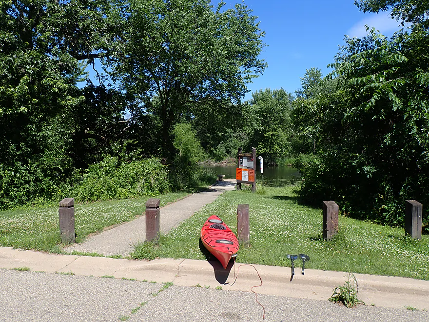
Starting the trip at Halfmoon Landing
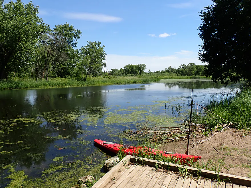
Good launch
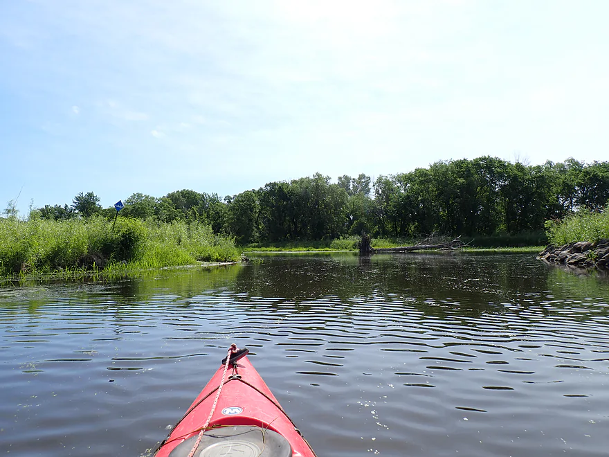
Slough t-bones with another channel
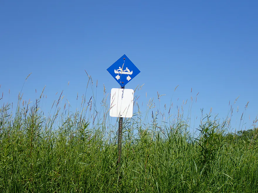
The trail signs point both left AND right! Go left…
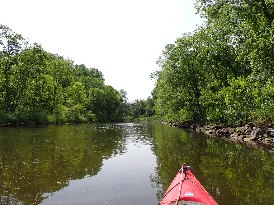
Paddling upstream on Murphy’s Cut
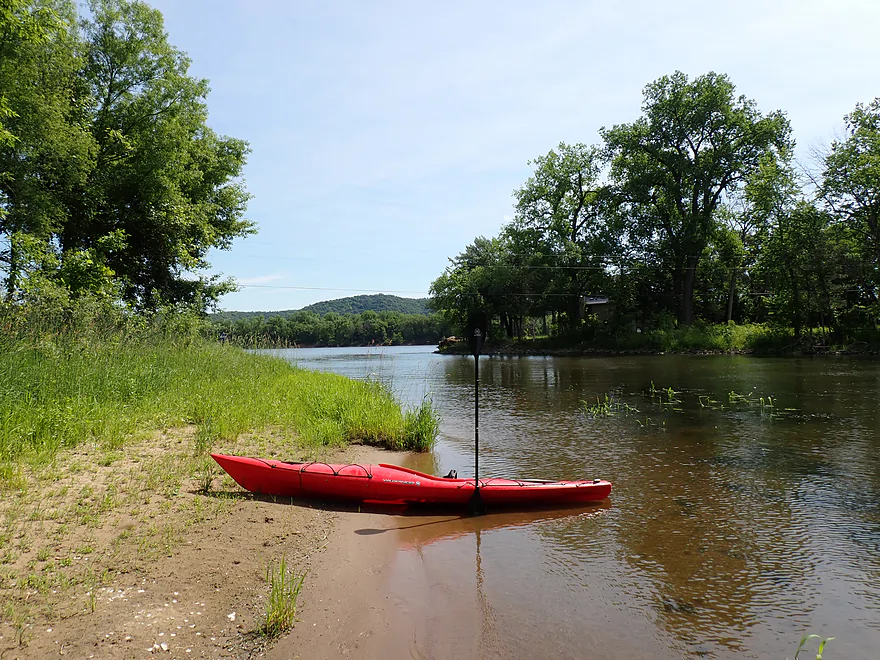
Mouth of the slough on the Mississippi
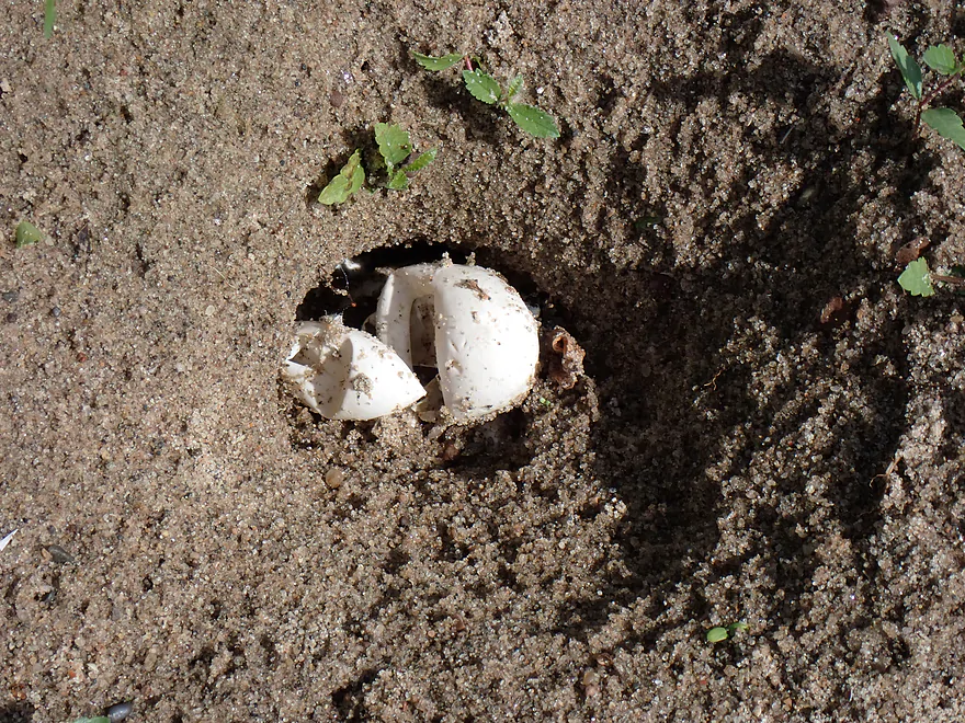
Turtle eggs
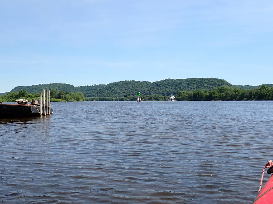
Scenic river bluffs by Alma, Wisconsin
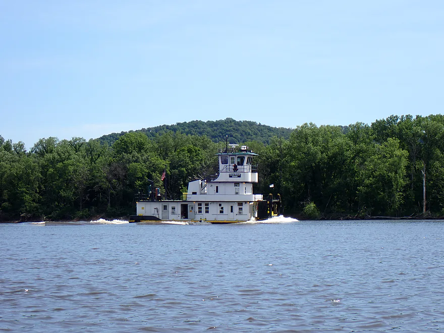
A towboat, without any barges, kicking up a massive wake
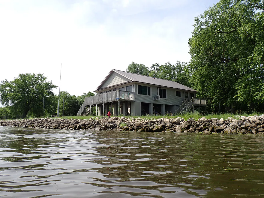
Fisher Island despite not having roads has a number of homes
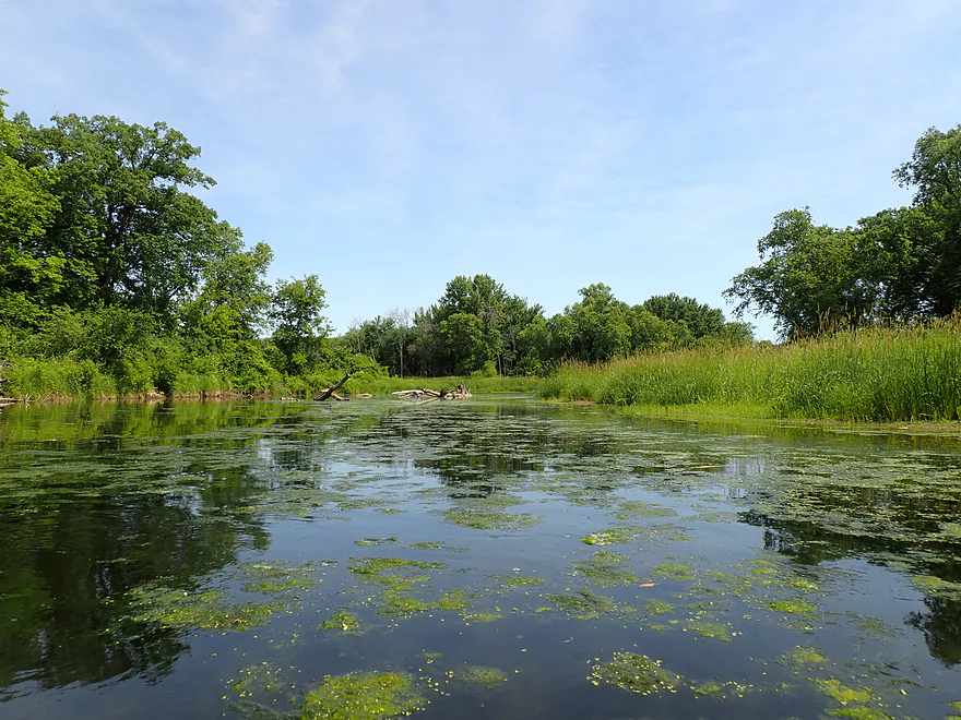
Leaving the main channel to enter the sloughs
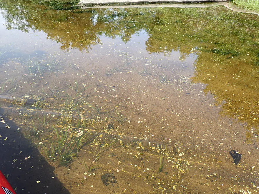
At first clarity was really nice (like an aquarium)
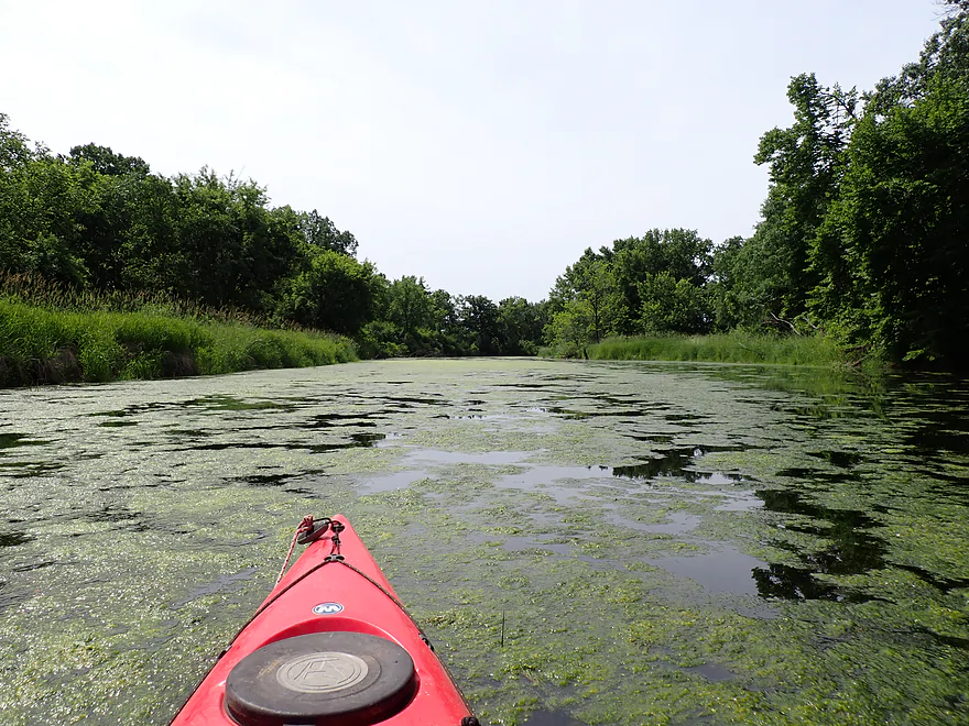
But then things get weedy
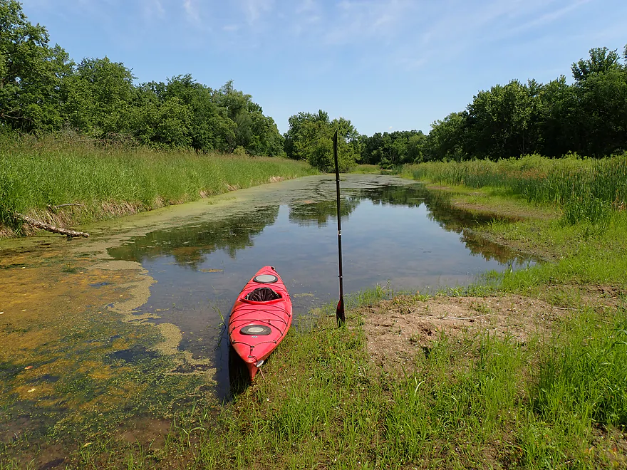
Getting out to portage…
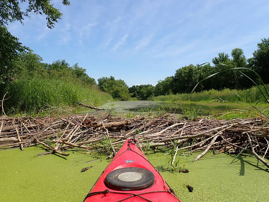
…a small beaver dam
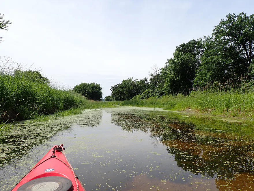
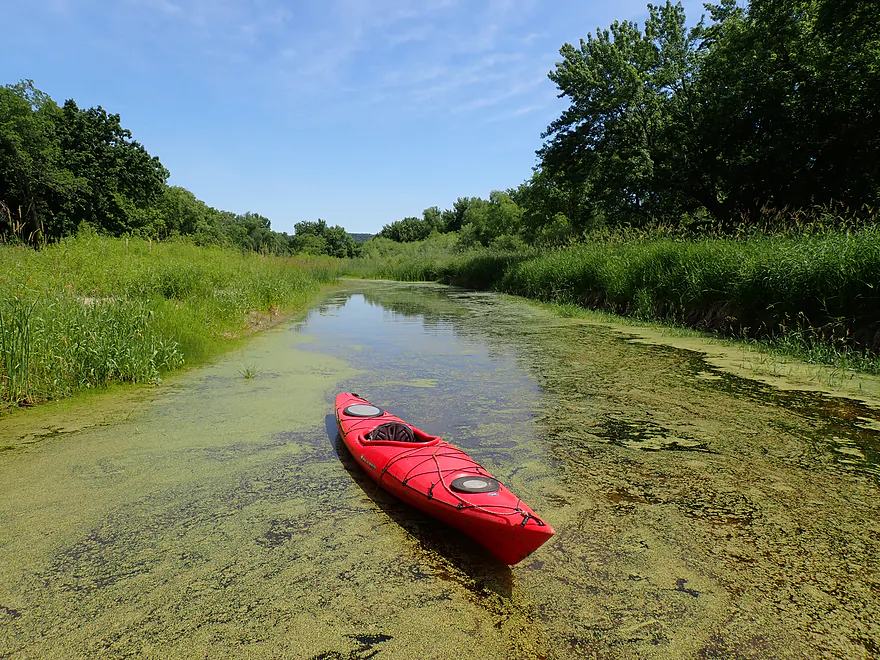
The slough kept getting shallower
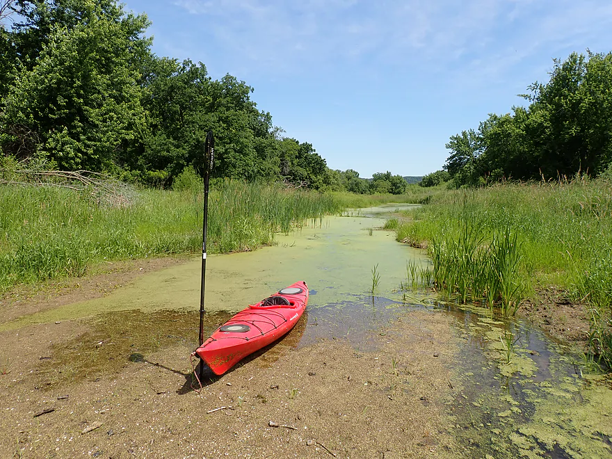
And then disappeared (mind you this is the primary official water trail path)
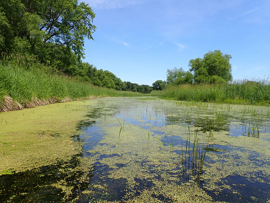
Water returns but stays weedy
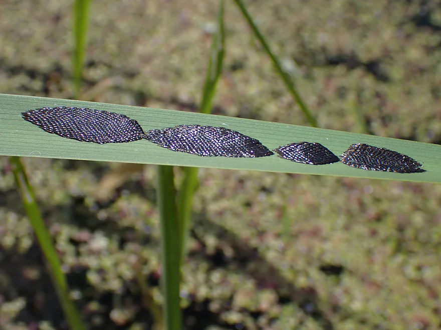
Cool colonies of deer fly eggs
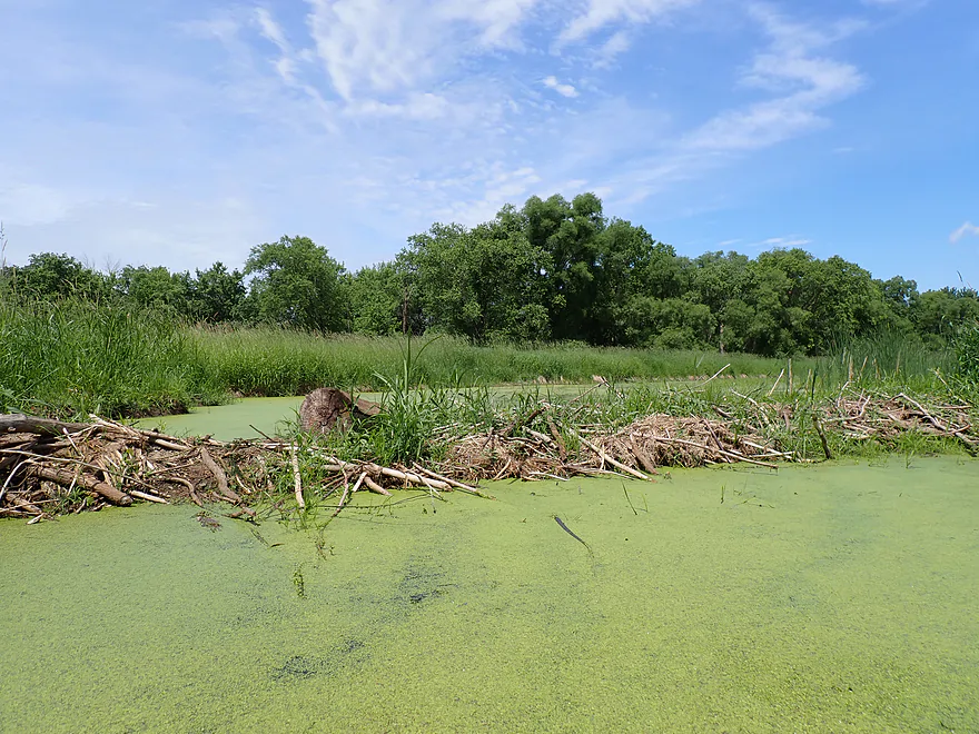
Second beaver dam (easy portage)
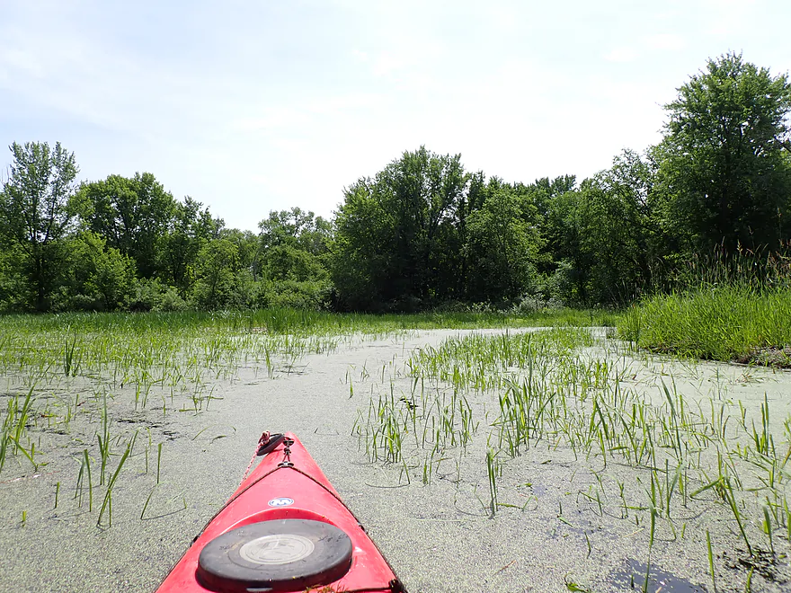
Paddling through young wild rice plants
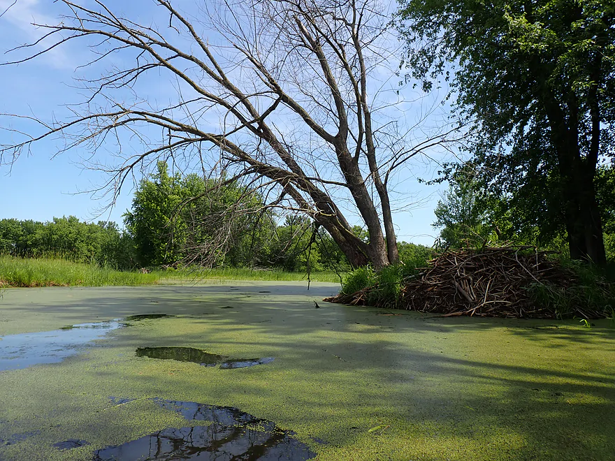
Nice beaver lodge
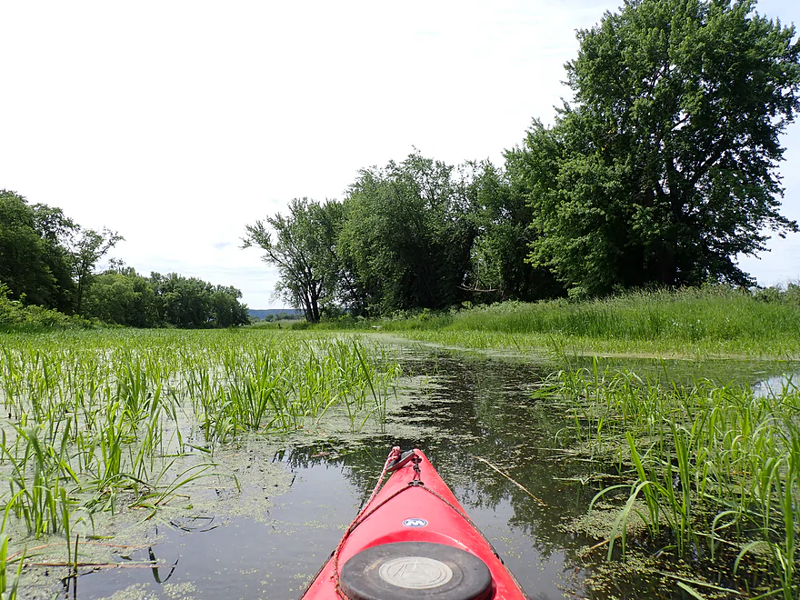
Small navigable path
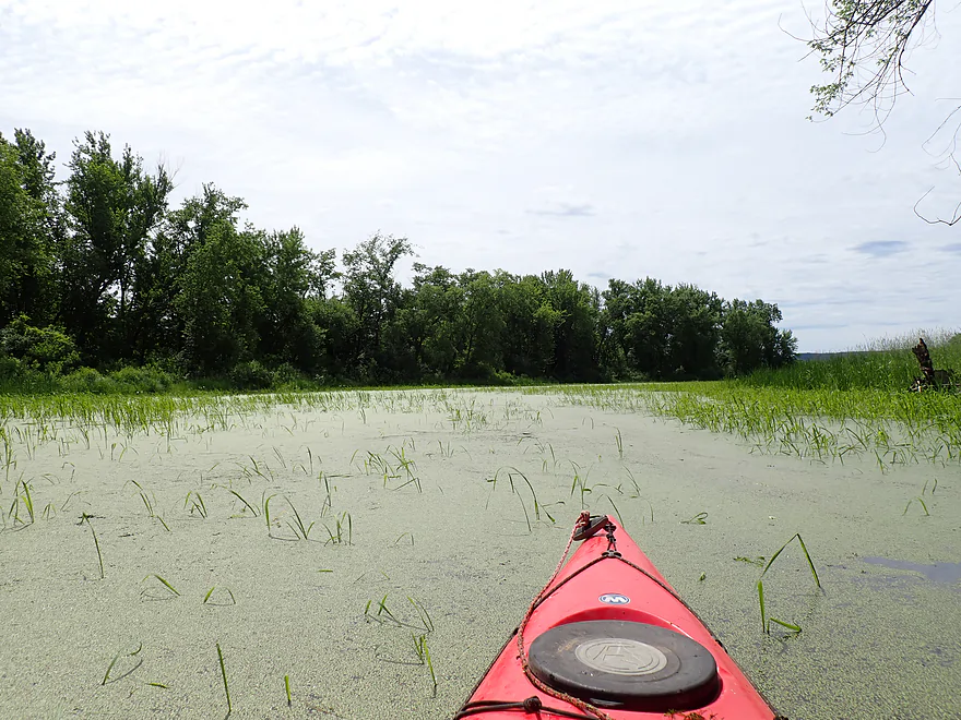
In fall, wild rice likely seals this in
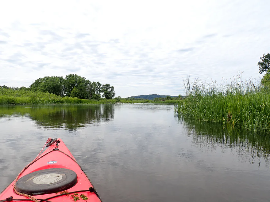
Finally…open water
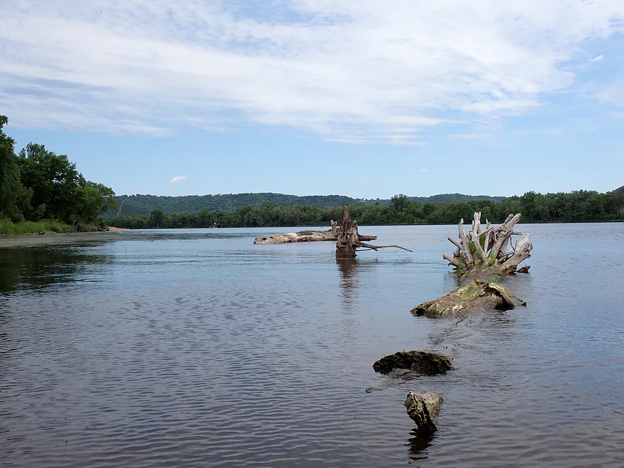
Deviating off the water trail to head out on the main channel again
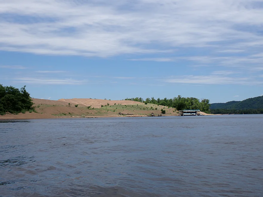
A massive dredging sand pile
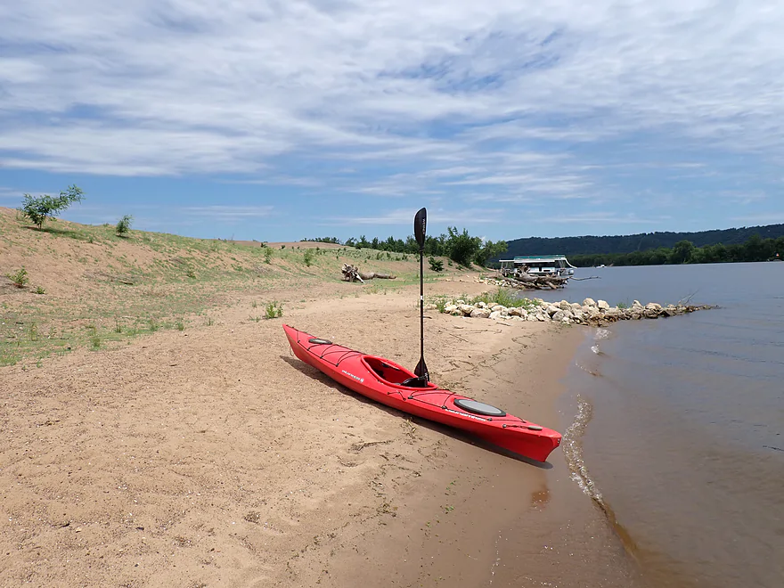
Taking a break
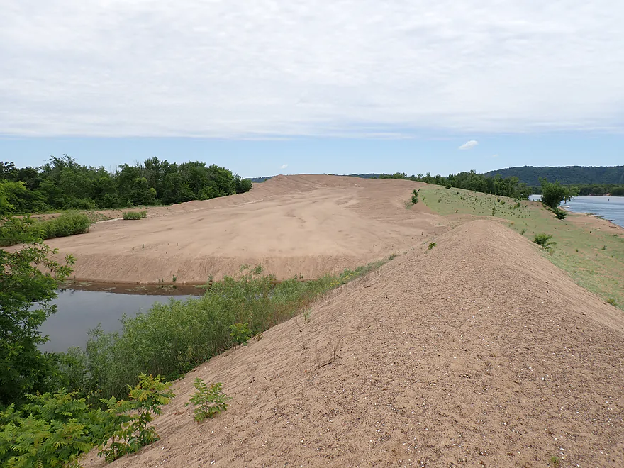
Interior of the sand pile (small lake with bulldozer tracks leading to a summit)
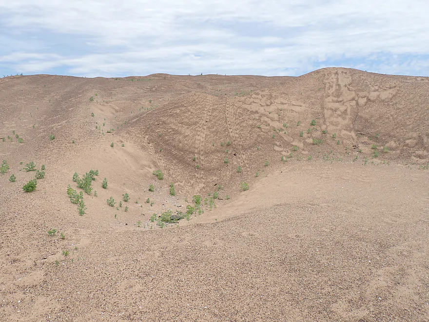
Climbing up the sand dune
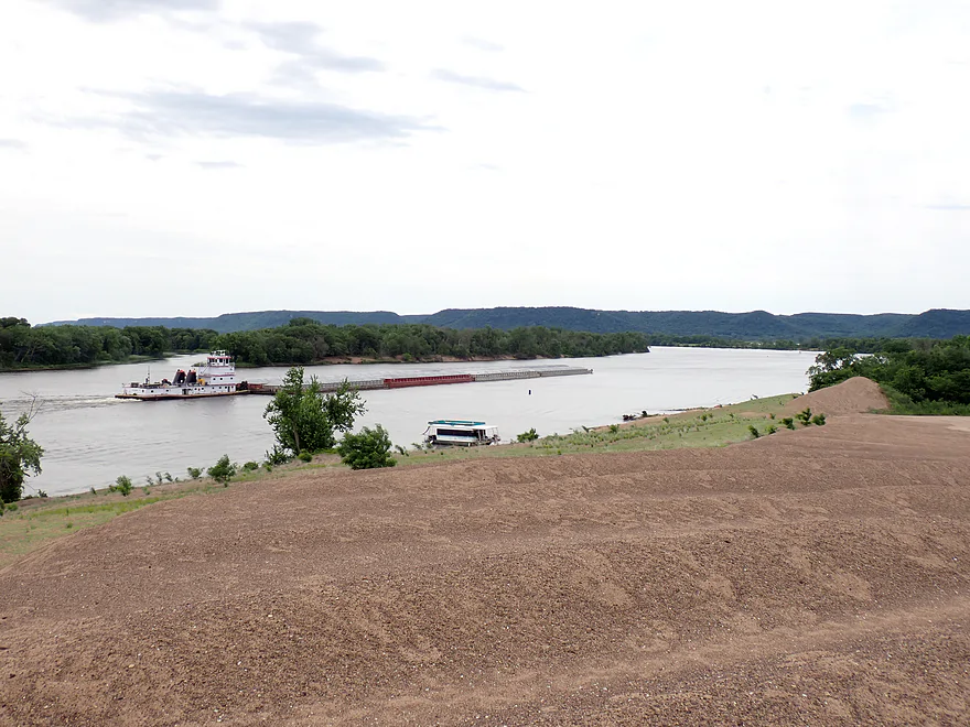
Great view from the top
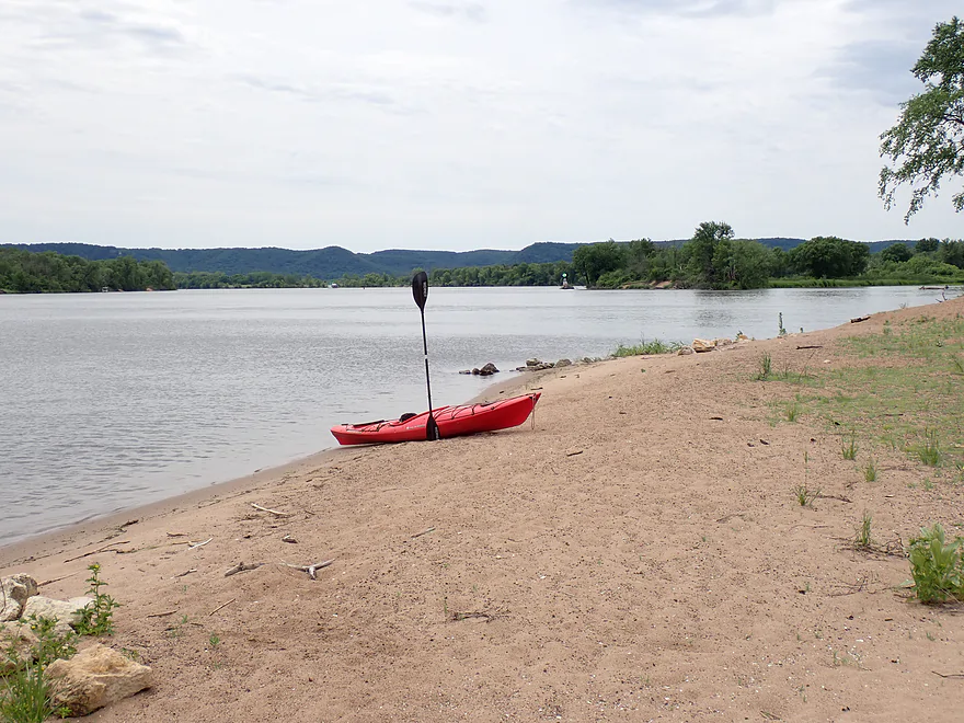
Heading back out on the main channel
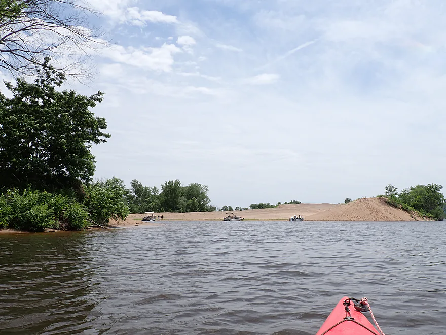
This time to check out a another dredge pile a half-mile downstream
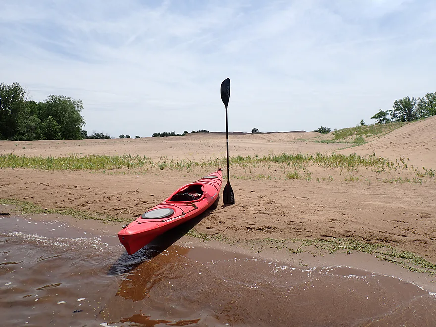
This one had a nice convenient bay for getting out
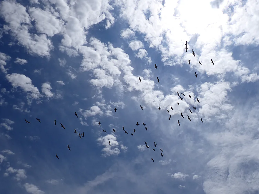
Large flock of pelicans
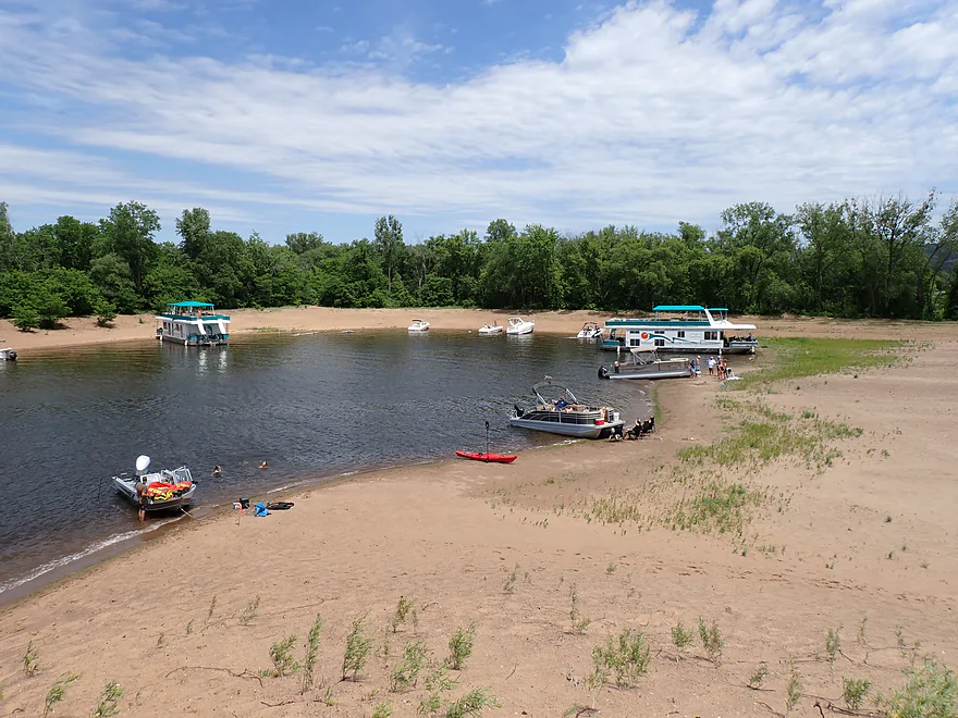
Locals seem to prefer this dredge pile over the other one
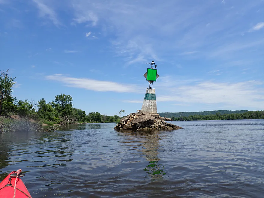
Green navigation sign marks the re-entrance to the Halfmoon Water Trail
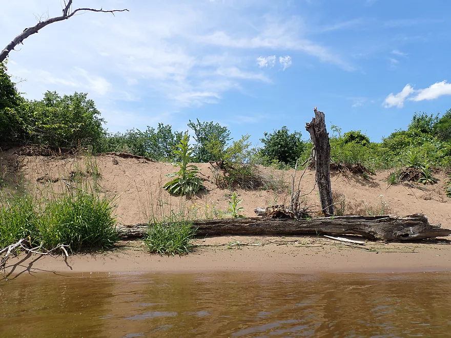
A Mississippi zen garden
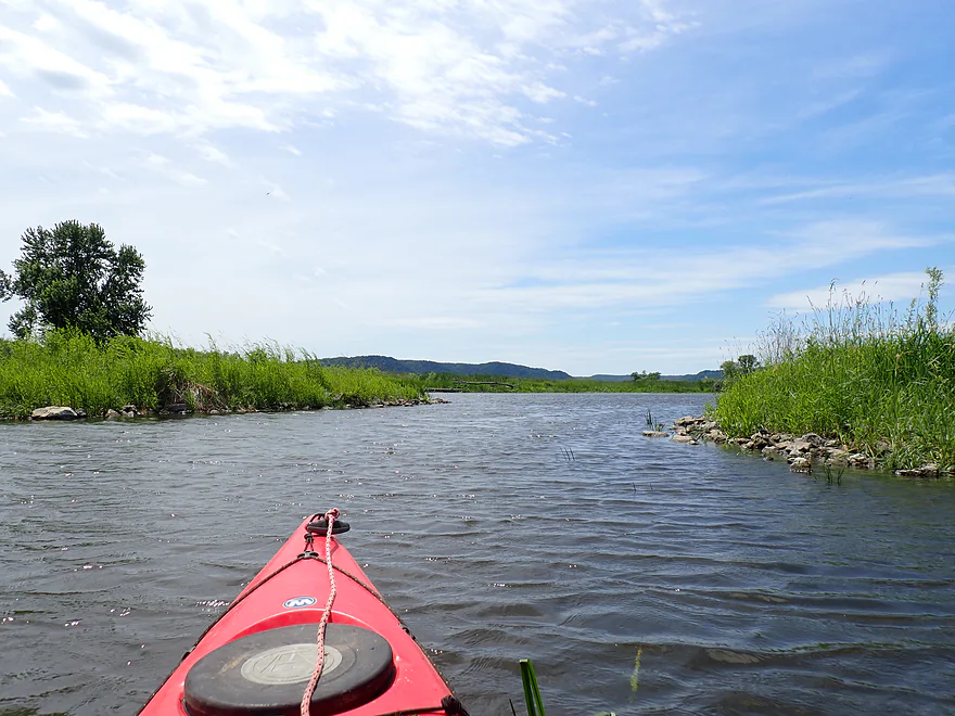
Finally back on the official water trail heading upstream/north
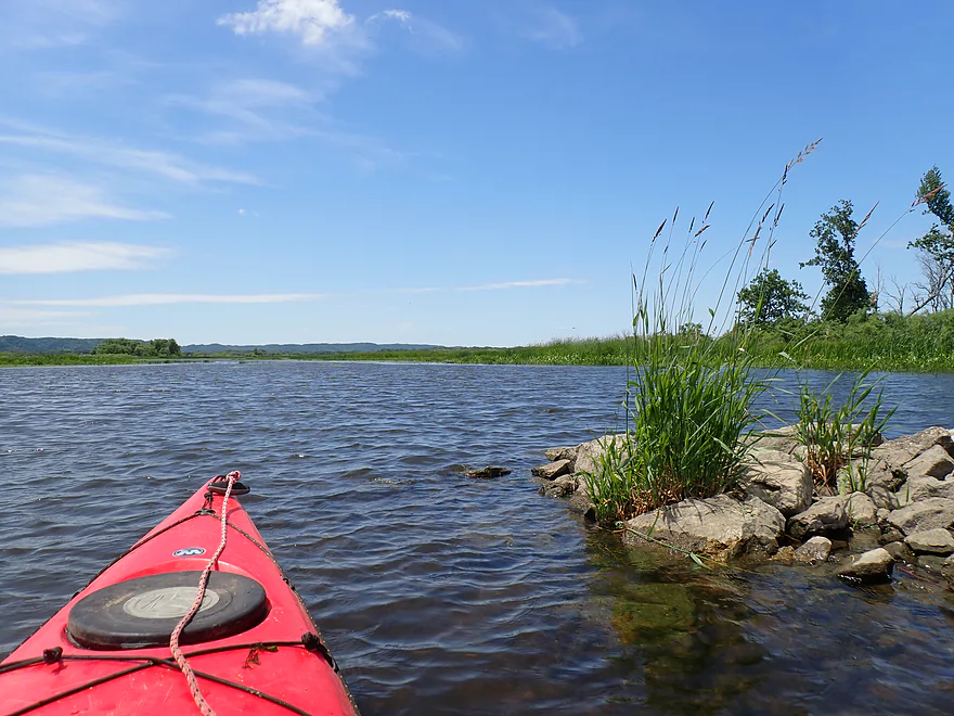
This open area is known as the “Weaver Bottoms”–a 5500-acre backwater lake famous for its fall waterfowl
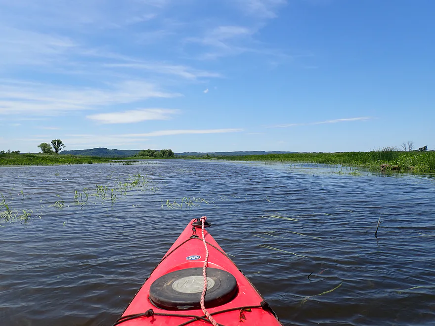
Minnesota bluffs in the distance
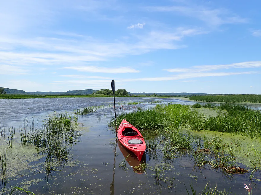
Getting out for pictures
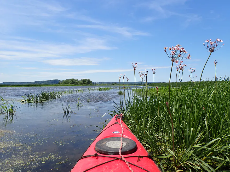
Nice flowers
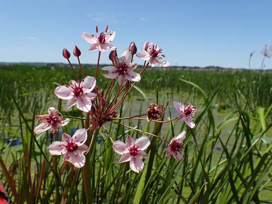
A closeup of a flowering rush (invasive for Minnesota)
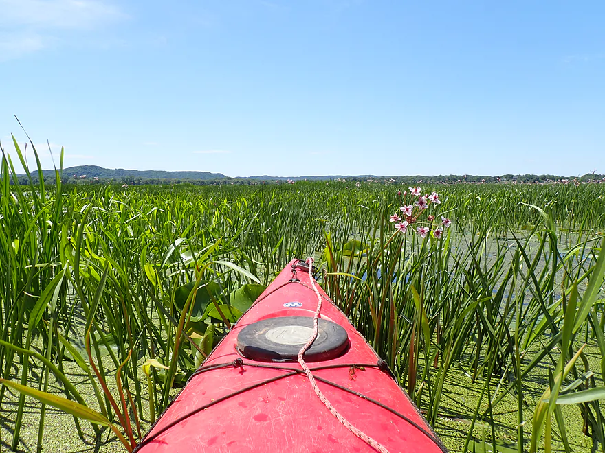
I veered too far west and got a bit lost
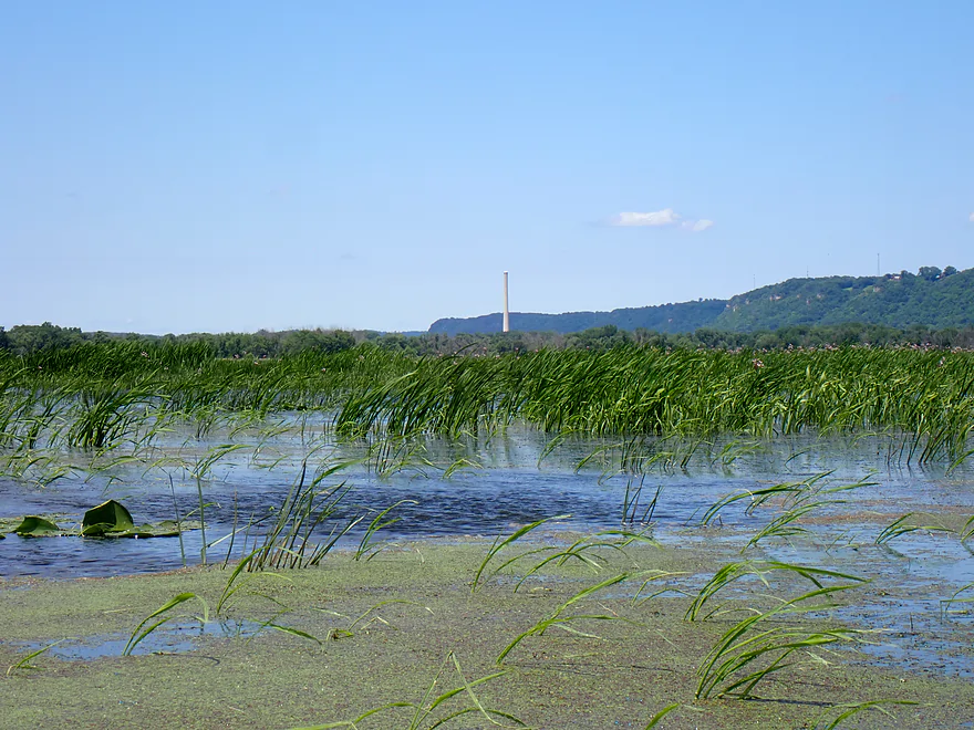
Trick is to use the Alma coal plant as your paddling north star
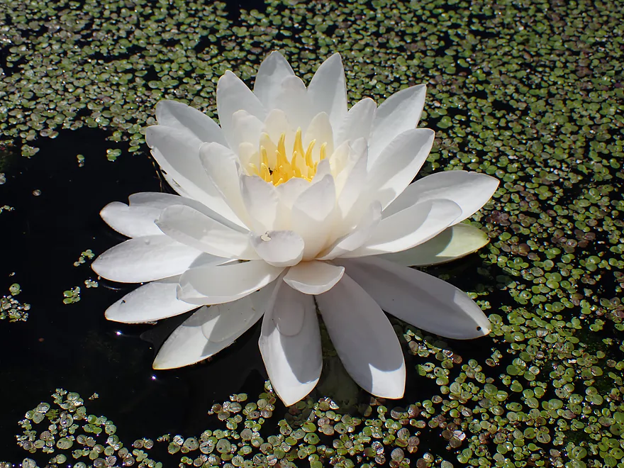
American white water lily
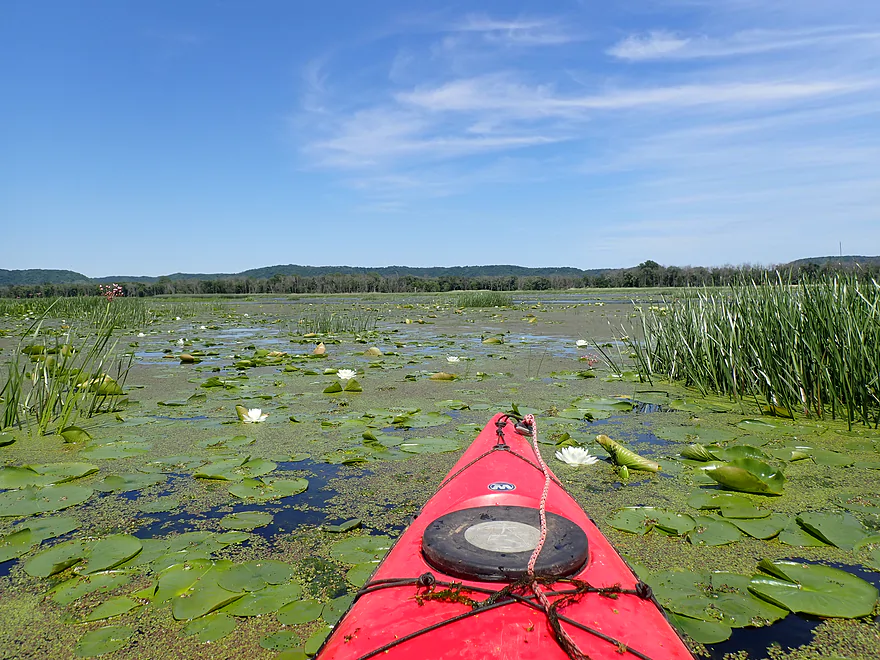
Attractive marsh area
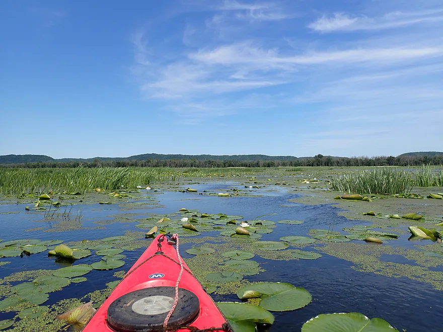
In later summer the lilies can get much bigger
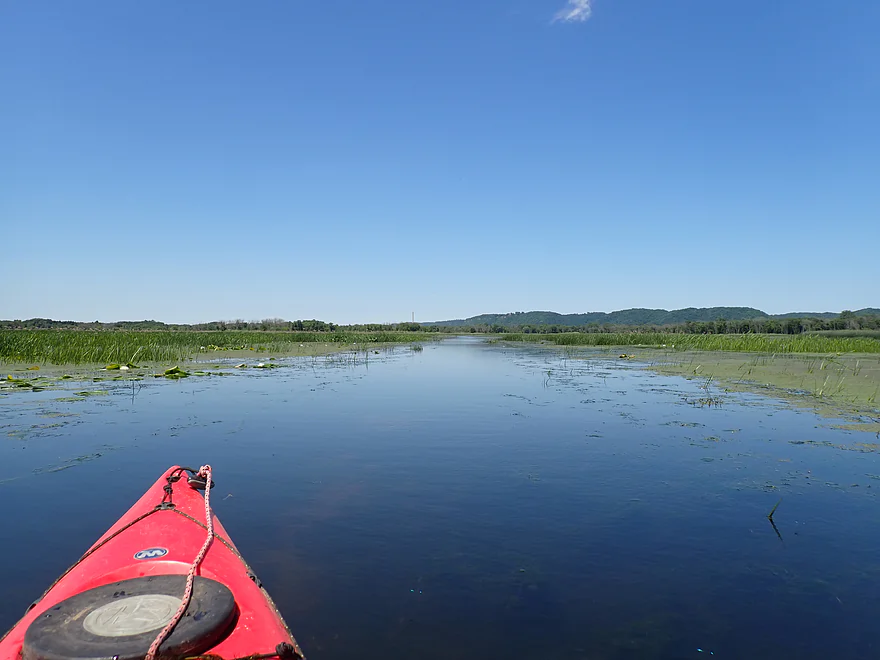
Finally back on the water trail (again, the key is to paddle toward the coal tower)
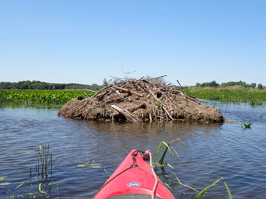
A second large beaver lodge
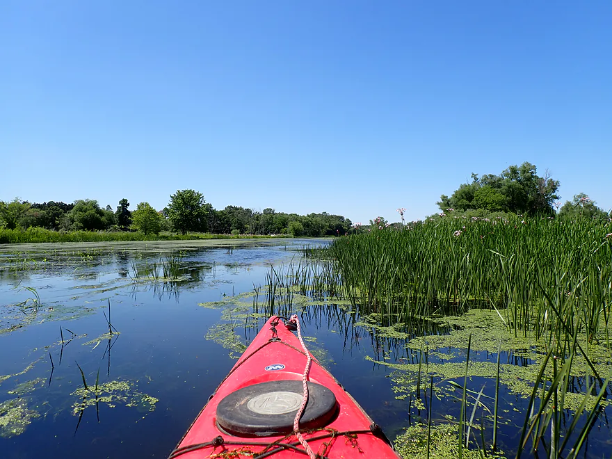
Starting to see more defined shorelines
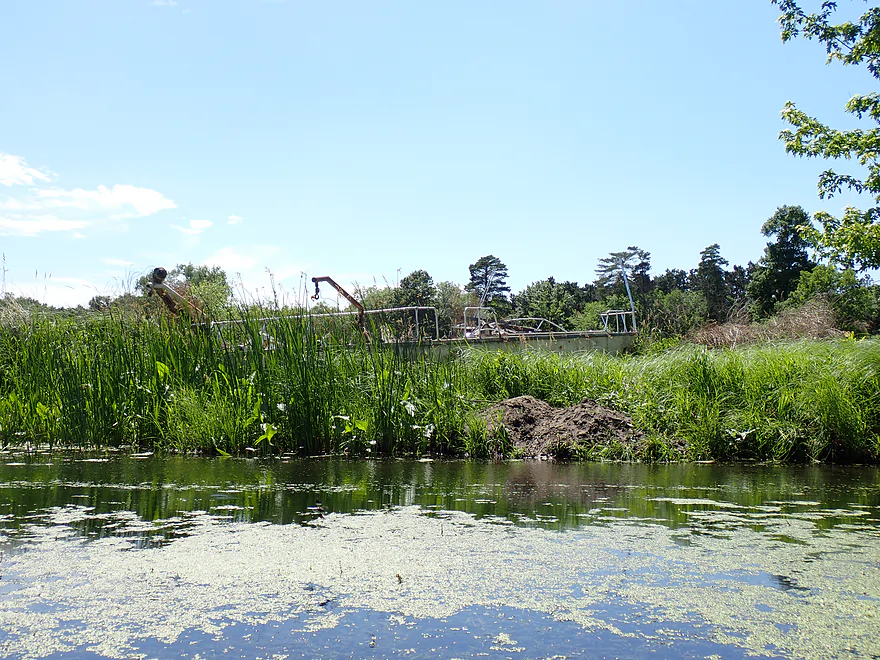
An old ghost boat
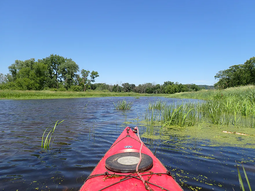
Nice part of the slough (fewer flood-bottom trees)
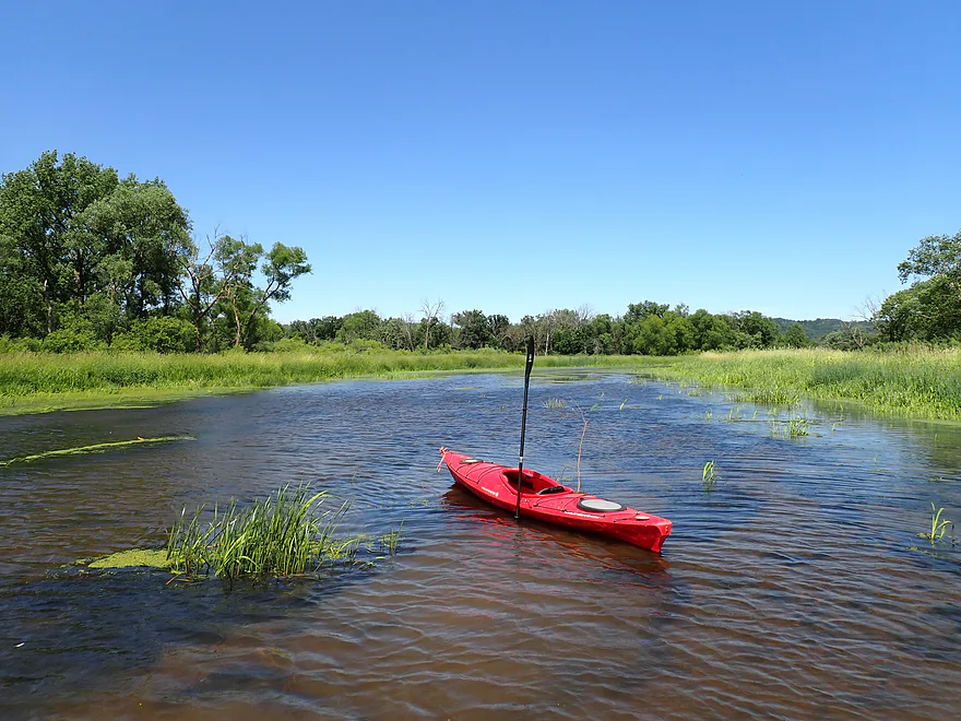
Getting our for pictures
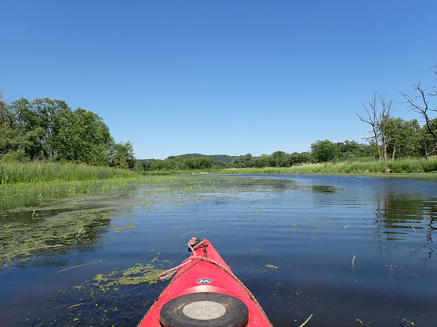
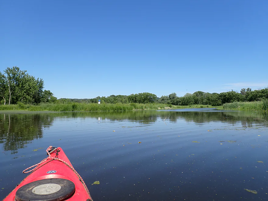
Back to the original blue sign
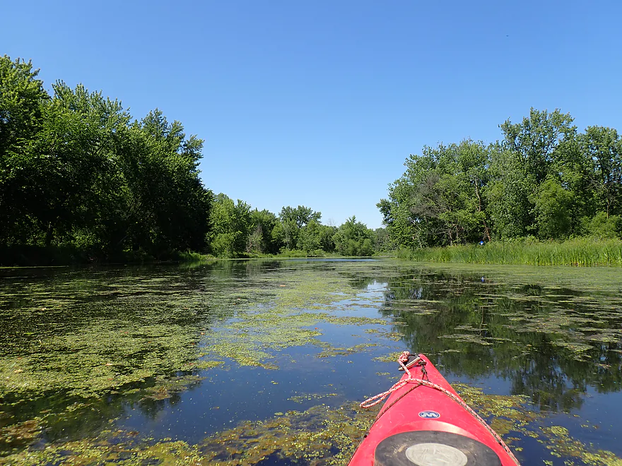
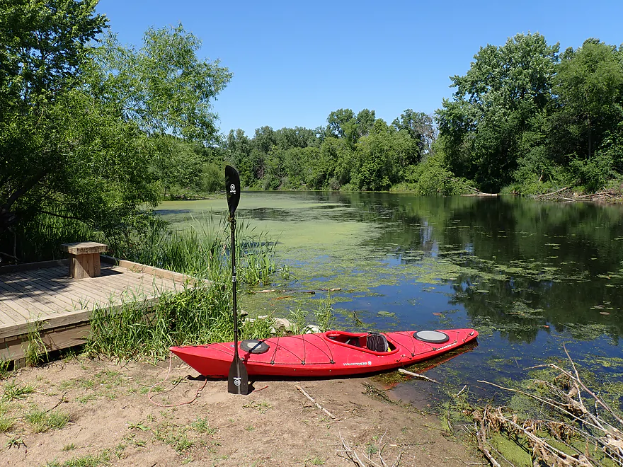
Ending the trip where I started
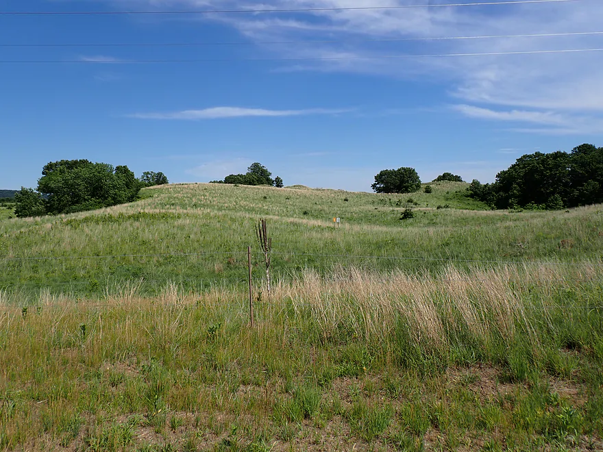
Checking out Kellogg Weaver Dunes SNA after the trip (a rolling sand prairie)


Mississippi River – Halfmoon Water Trail


As part of my goal to paddle all 15 official FWS Upper Mississippi water trails and four Wisconsin DNR routes, I tackled the Halfmoon Water Trail. This loop serves up a wild mix of rugged paddling, tricky navigation, and rich ecosystems. If you’re planning your own trip, here’s what to expect, what went wrong, and how to time it perfectly.
My strategy for this trip was a clockwise loop wrapping entirely around the flood-bottom woods and wetlands of Fisher Island. When you arrive at Halfmoon Landing to start the route, skip the main motorized boat ramp. Tucked just off to the side is a dedicated canoe and kayak launch with closer parking that cuts down your haul to the water.
Leaving the launch, I headed south along a slow, sleepy floodplain slough. Before long I hit the first major fork—and my first run-in with the blue FWS water trail signs. They mean well, but these markers are often confusing or entirely missing at crucial intersections. Case in point: this first sign literally pointed both left AND right. To stay on track for the clockwise loop, I correctly turned left/east (official trail map).
This connecting slough soon T-boned into Murphy’s Cut, a faster side slough where I turned left again. Other trip reviews warned that high water can make the current here brutal, but with water levels on the low side, the half-mile upstream paddle to the main river was manageable. Frankly, this leg wasn’t much to look at—just runty, beat-up floodplain trees and weedy, muddy banks.
Exiting the mouth of Murphy’s Cut brings you straight onto the Mississippi’s main channel. I was tempted to head a half-mile upstream to explore a giant dredged sand pile on an island complex, but I decided to skip it since I knew more were waiting downstream.
Paddling the Mississippi’s main channel is rarely ideal. Heavy currents and strong winds test your stamina, while commercial barges and motorboats kick up deep, unpredictable wakes. These waves intensify in shallow water and around wing dams—a few of which sit just east of Fisher Island. To be fair, conditions weren’t as chaotic as my previous Mississippi trips down by Iowa. As long as I took the waves head-on, they were easy to handle. Still, these hazards are exactly why most official Mississippi water trails hide in sheltered backwaters, and thankfully, the Halfmoon Trail only requires a half-mile of open-water paddling.
Further down the river, a handful of isolated cabins line the edge of Fisher Island. It’s an interesting place to live. There is zero road access out here; these homes are entirely boat-in or ice-access only, and the area floods severely. While many of the cabins are built high up on stilts, you have to wonder if it’s truly enough when the Mississippi goes on a real spring rampage.
A large pier marked my “off-ramp” from the “river freeway,” and just like that, I was back in the protected backwaters. The quiet was a welcome relief, but it brought a brand-new challenge: navigation. To orient you, picture Fisher Island as a clock face. Traveling from 2:00 down to 6:00 on the east end presents three different paths south. You can stick to the main channel (an alternative route noted by the FWS), which has some great sandy stretches if you don’t mind the waves. Or, you can duck inside the island, where two southbound sloughs split. The wider, western slough was probably the smarter choice. Instead, I chose the eastern slough—the official water trail path—which turned out to be a bit of a mistake.
At first, this narrow slough was attractive. The transparent water, clean sand and gravel bottom, and fish darting through scattered river plants felt exactly like paddling in a giant aquarium. Before long, however, thick coontail and duckweed started to choke the channel. While they didn’t completely block navigation like a cattail jam (nothing is worse than those), plowing through the weeds and constantly flicking them off my paddle got tiresome. Since this was only an early June paddle, I can’t imagine how impassable this channel becomes by August.
Water levels soon plummeted, forcing me to get out and drag my boat through a few shallow stretches. Fresh skid marks gouged into the mud proved I wasn’t the first paddler to fall into this trap. Even the two small beaver dams backing up the slough couldn’t pool enough water to save the channel from becoming a mucky, shallow mess.
Eventually, the narrow slough merged into a wider, wildrice-choked channel. This junction marks the 6:00 position on the clock face, where the official trail turns west and then north. Delaying that turn, I paddled east to the main river to check out a massive Army Corps of Engineers dredge pile—a 110-foot-tall sandbox on steroids. I scrambled up the highest dune for a panoramic view of the Mississippi and passing boat traffic.
Back on the water, I took yet another half-mile detour south down the main channel to check out a third dredge pile. It was smaller than the last one but far more popular, featuring a 300-foot bay carved directly into the sand. This perfect harbor was packed with boaters swimming and hanging out. Enjoy it while it lasts, though; historical images on Google Earth reveal ongoing dredging operations are slowly filling this sheltered bay back in, and it will likely disappear in a few years. It’s a prime example of how incredibly dynamic these sand piles are—stacked high one year and hauled away or reshaped the next.
The penalty for my detour was a grueling half-mile paddle back upstream against a stiff headwind. Weekend traffic was thankfully relatively light, but one cabin cruiser buzzed by me fairly close. Honestly, I don’t think their drivers can see the water very well when their bows ride high at cruising speed, and I got bounced around pretty good by the wake.
I left the main channel at a small rock island navigation light, rejoining the official trail for a trip highlight: Weaver Bottoms. Flanked by Fisher Island to the east and the deltas of the Whitewater and old Zumbro mouths to the west, this shallow bay is a sprawling labyrinth of low-lying marsh corridors. Signage was completely absent, and I soon wandered too far left into a thick marsh before a quick GPS check got me back on track.
Paddling tip: use the distant Alma coal plant smokestack as your personal “North Star”. Keep your bow pointed directly at it, stick to the mostly open water, and you’ll be fine. Though technically paddling upstream, the current was a non-issue, but the brutal headwind was another matter entirely. Even so, it was tough to complain. The northbound return loop offered flat, open vistas in contrast to the southbound sloughs, swapping unsightly, weathered bottomland trees for pleasant marshes and grand 360-degree views of the Minnesota and Wisconsin bluffs.
Timing is everything in the Weaver Bottoms (besides just avoiding strong headwinds). Visiting in June is like showing up to a concert hall before the band takes the stage. The water will be carpeted with attractive (but invasive) pink smartweed flowers, small lily pads, and a few white lily flowers. But by August, the lily pads will grow into gigantic, three-foot dinner plates, launching six-foot, cream-colored blossom stalks into the air as white lily flowers become more common. By late summer, wild rice will dominate, towering over your kayak and, in some instances, constricting the channel.
This ecological bonanza is the product of a massive 2005–2006 project where managers intentionally drew down Pool 5’s water levels to simulate a natural drought. The sun-baked mud triggered a historic seed germination that completely revitalized the marsh, turning it into a crucial migratory staging ground where up to 30,000 tundra swans now descend each fall to feast on the abundance. However, this creates a tricky quandary for paddlers: waiting until later in the season yields the ultimate plant growth and waterfowl, but some kayakers warn that the extensive vegetation can make Weaver Bottoms incredibly challenging to navigate by August.
Paddling farther upstream, the wide bottoms progressively narrowed as the banks gradually became more defined. The current finally made itself felt, though it never posed a real problem. Compared to the ragged floodplain on Fisher Island’s east side, this western leg was noticeably cleaner, with healthy foliage and clear water. Soon, the slough split at another unmarked fork. I chose the smaller channel to the left, reasoning it would have a slower current—after a day of bad navigational decisions, this one was finally correct. This final stretch offered a quiet, peaceful paddle before re-intersecting with my original slough and delivering me right back to my put-in.
In summary, this trip was slightly disappointing. The sloughs along the eastern side of Fisher Island were shallow, lined with messy flood-bottom trees, and choked with weeds. While the main channel was busy with obnoxious boat traffic, its unique artificial sand dunes provided welcome break spots. Weaver Bottoms was a highlight with its open marsh and 360-degree stereoscopic bluff vistas, though the wind was brutal. In hindsight, alternative navigational choices would have made a big difference—namely, taking the main channel or a larger interior slough for the southbound leg. Honestly, the real highlight of the day was just the drive there. Highway 61 (Minnesota’s Great River Road) served up terrific vistas of the Mississippi’s backchannels and steep bluffs, while Highway 84 featured the rolling sand prairies of the Kellogg-Weaver Dunes State Natural Area.
Executing a successful trip here requires juggling three tricky timing elements. First is the wind: if it’s blowing 10 mph or stronger, don’t paddle. Second is water level: high water turns Murphy’s Cut into an upstream grind that can prevent you from escaping Fisher Island’s orbit, while low water leaves the side sloughs literally dry. Finally, seasonal timing is a balancing act: late season is best for waterfowl and blooms, but it means navigating weed-choked channels.
Wildlife sightings included turtles, dragonflies, deer, frogs, a large flock of pelicans, an eagle, a pair of beaver lodges and dams, and numerous fish, including carp. Unfortunately, nuisance deer flies were common, though they left behind distinctive egg masses that formed fascinating black patterns on the grass stems. While quiet now, Weaver Bottoms becomes a major hotspot for migrating swans come fall.
Kellogg-Weaver Dunes Scientific and Natural Area: I initially expected a traditional public park with rolling sand dunes and established trails. In reality, it was just a dry, rolling prairie with little visible sand. That said, it does offer a pleasant, open landscape filled with native prairie plants and interesting insects. There are no maintained trails, but you can see some of the rolling hills right from your car on Hwy 84. The southern access is a bit confusing to navigate and has a sketchy road, while the northern access point is much more convenient.
Halfmoon Canoe Landing: While the main boat ramp to the north is a decent option with an outhouse, the parking is farther from the water, requiring a longer haul for kayakers. Instead, I recommend launching from the more secluded canoe access a quarter-mile to the south—it offers much closer parking and excellent river access.
Alt Put-ins:
- West Newton Public Boat Launch: Located north of the Halfmoon Canoe Landing, this is better suited for one-way trips and offers the option to paddle past an additional dredge pile.
Shuttling: None required as this is a round trip. But if you want to be creative, you could make this a one-way trip and use one of the many other Mississippi landings that are available (see overview map).
Kayak Rentals:
- Broken Paddle Guiding Co.: They typically service the lower Zumbro and the Mississippi by the Chippewa River. I don’t know if they would go as far south as the Halfmoon Water Trail, but you could ask.
Wind: I paddled this trip in a 12 mph north wind with 20 mph gusts, which proved to be too much. I recommend staying off this open water if forecast winds exceed 10 mph.
Current: Weaver Bottoms (the west side of Fisher Island) is mellow and easy to paddle against. The Mississippi’s main channel runs faster, but working upstream to explore the dredge piles wasn’t too difficult in low water (wind is a bigger factor). The only real upstream grind is through Murphy’s Cut, a half-mile connecting slough early in the trip. It was manageable in a 12.5-foot kayak, but stubbier boats might find it tiresome. Supposedly the current can get prohibitively strong during high water.
Wing Dams: There were a handful of wing dams on the main channel (submerged rock piles designed to funnel the current). These weren’t bad during my trip, but could be more difficult at certain water levels due to odd currents. The big issue was how they interacted with waves, which often got much stronger when breaking on a wing dam. The bigger problem is how they interact with boat wakes, which can sharpen and break abruptly over the rocks. Here is a map of where each wing dam is.
Getting Lost: It is easy to get disoriented in both the sloughs, where signage is inconsistent, and Weaver Bottoms, where shorelines are often poorly defined. Studying maps ahead of time and bringing a GPS is highly recommended.
Logjams/Beaver Dams: In one of the sloughs, there were two small beaver dams that required quick, easy portages. In high water, you might be able to float right over them.
Waves: The sloughs were practically waveless and very peaceful, but the brief stretches on the main Mississippi channel featured occasional heavy powerboat traffic. Large cabin cruisers kicked up massive wakes that could easily swamp a kayak if you aren’t alert.
Life Jackets: On some rivers and lakes you can get away with not wearing a life jacket. The Mississippi, though, isn’t one of those, and you definitely want to have your life jacket on at all times.
Closest Gauge: Mississippi River @ Alma
Trip Depth: 4.69′
Navigability Estimates: This gauge lacks historical information so my guesses may not be accurate.
- Under 4′: Likely too low.
- 4–5′: Average depth. You should be able to paddle upstream where needed.
- 5–6′: Above average depth. Escaping Murphy’s Cut will be tricky, but interior sloughs will offer better clearance.
- 6–7′: High depth. Round-trips aren’t viable, but downstream one-way trips are fine.
- 8’+: Flood stage. Opens up unique opportunities for adventurous flooded-forest paddling.
Detailed Overview
The Mississippi is both a blessing and a curse for paddlers. While rich in beauty and majesty, it can be problematic to paddle due to high wind, current, wakes, powerboats, and barges. The Upper Mississippi is frequently dammed and subdivided into “pools”, of which there are roughly 11 in Wisconsin. Generally speaking, just upstream of a dam the river is the least interesting (few islands, deep, monotonous, few sloughs, and a wide channel). But on the downstream side of pools there are often many sheltered islands and sloughs that offer unique paddling experiences.
For a list of Mississippi water trails see my overview map or use the bullet list below. Thanks to the US Fish and Wildlife Service for many of these suggestions. Check out their website for more details. Water trails are listed in order from north to south.
—
Chippewa River Trail: 6.8 miles. Chippewa River Landing to Tim’s Slough Landing. Basically the last part of the Chippewa River that connects with a slough on the Mississippi. Avoid in high water.
Nelson-Trevino Trail: 4.5 miles. South of the Chippewa River, Hwy 25 cuts across the river through a slough and over a grade. Many landings to pick from. Most paddlers venture south and then back north to one of the landings. The main water trail is roughly the biggest loop you can take south of Hwy 25 while remaining in the slough. Avoid in high water and high wind.
Finger Lakes Trail: 6.1 miles. North of the Zumbro River mouth, there is a sheltered collection of sloughs and lakes you can paddle. The main water trail skirts the south edge. In low water, some portages may be required. For a launch/take-out, use Pioneer Landing in Minnesota.
Halfmoon Trail: 5.1 miles. A scenic mix of sloughs, the main channel, and open marshlands, with a chance to explore two massive dredge piles. Note that timing is tricky: low water can dry out the interior channels, while high water makes completing the loop against the current difficult.
Verchota Trail: 11.3 miles. A long upstream paddle up the main slough then you double back mostly on the same trail. Use Verchota Landing for an access. Difficult because of its long length and upstream paddling.
Aghaming Trail: 6.7 miles. Start at the park in the main channel and float downstream until you find a gap in the slough which you can paddle upstream to explore. Turn back when done. Access at Latsch Island Park and Landing. Some upstream paddling in the main channel. Not usable in high water.
Voyageurs Canoe Trail/Perrot State Park: 6.5 miles. Your best bet is to do a one-way trip from Hwy 35 to S. Park Road. Very scenic. Completely sheltered from the main channel and is technically the Trempealeau River.
Long Lake Trail: 5 miles. A counter-clockwise circle through mostly backwater sloughs. Long Lake is mediocre and French Lake is boring and weedy. But the main channel is nice with good sandbars and bluff vistas. When in season, Big Marsh can contain scenic wild rice corridors.
Brown’s Marsh Canoe Area: More of a lake paddle and a way to experience Brown’s Marsh. Access at Lytle's Road.
Lake Onalaska Trail: Technically the last few miles on the Black River. Been on my to-do list for a while… Lytle's Road to Fred Funk Landing is 4 miles, while Lytle's to Mosey Landing is 8 miles.
Root River to Crater Island: This is mostly attractive slough paddling inside the vast Goose Island archipelago. It does include a bonus stretch on the fast Root River and some main channel paddling by Brownsville. The highlight is "Crater Island," a large man-made sand island.
Goose Island Trail: 8 miles. A nice paddle around Goose Island. Mostly simple sloughs but there are nice bluff views .
Reno Bottoms Trail: 3-14 miles. Put in on the Minnesota side and float down a long slough. Many intermediate take-out options. Access at Reno/Hwy 26 and New Albin. Some of the launches can be under water during high depths.
Blue Heron Trail: 9 miles. Located south of the Minnesota/Iowa border, this water trail features a fantastic labyrinth of islands and side sloughs. A trip highlight is being able to paddle up to the historic Black Hawk Bridge.
Ambro Slough: 8 miles. Very similar configuration to Wyalusing. You can paddle up the slough then downstream on the main channel if you wish. The upstream slough by Harper’s Ferry also looks interesting. Access is at North Ambro Road. 8.2 miles if you do a full loop on the main channel.
Yellow River to McGregor: ~4 miles. A scenic stretch featuring impressive river bluffs and a large arched bridge.
Wyalusing: 5 miles. A marked trail starts at the lower Wyalusing State Park landing, then weaves through bottomland before heading back to the landing. One of the neater areas on the Mississippi and it’s always fun to visit the park.
Johnson Slough: 6.2 miles. Just downstream of Wyalusing on the Iowa side is another nice slough to explore. Most launch at the landing, cut north through the slough, and then float back on the main channel. Some current to paddle against.
Jay's Landing to West Haven: 4.6 miles. This is a nice leg with many islands that protect paddlers from the main channel. Highlights include scenic bluffs.
Cassville Bluffs/McCartney Lake: 4.17 miles. There is a protected series of sloughs and islands on the Wisconsin side that features many scenic bluffs and outcrops.
Dubuque Water Trail: 9 miles. Start south of the dam by A.Y. McDonald Park. Float down the western shore by urban Dubuque, past the Mines of Spain to Massey Station Road. Easy to subdivide or to do round trip loops. For further information see the official webpage for the trail.
Trip Map
Overview Map
Video
Photos Size:
How did your trip turn out? Questions or comments? Feel free to leave your feedback.
