


Eau Claire River – Eisberner


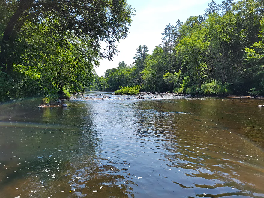
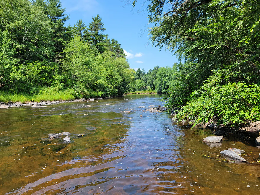
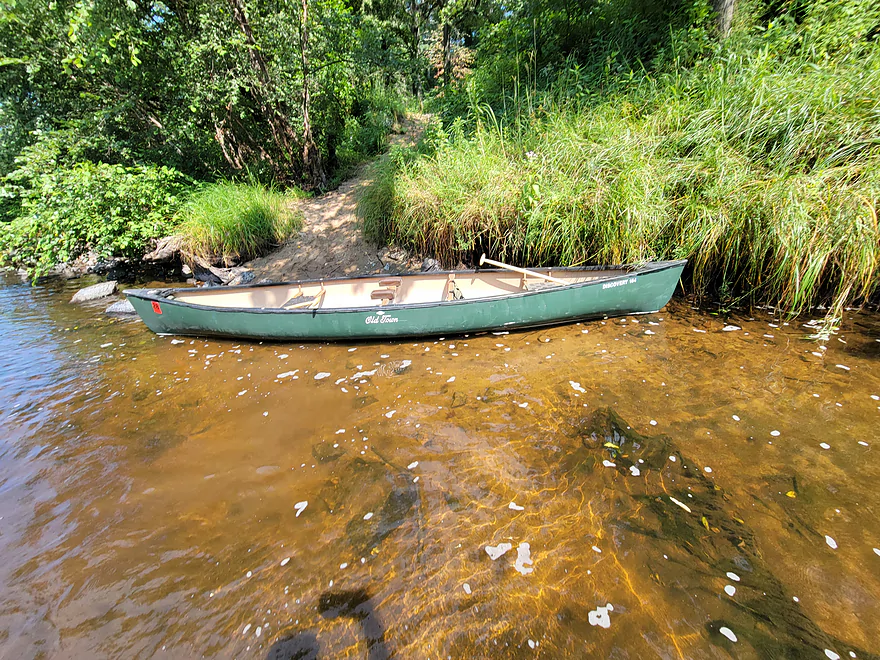
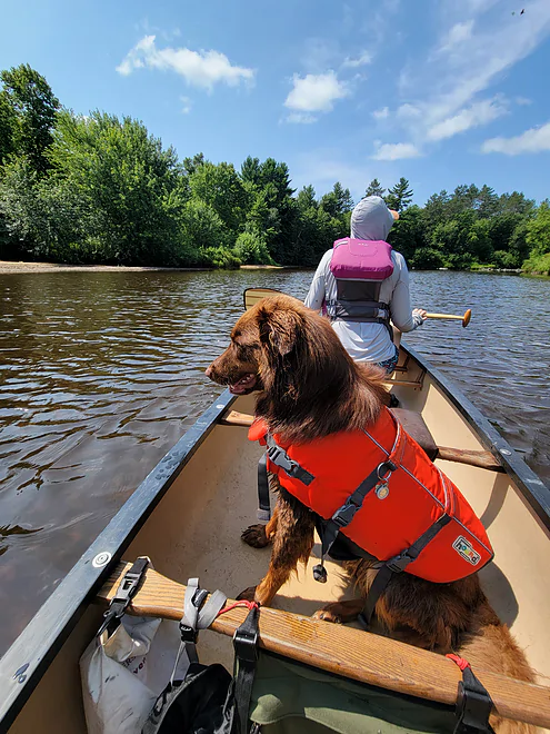
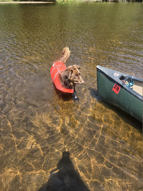
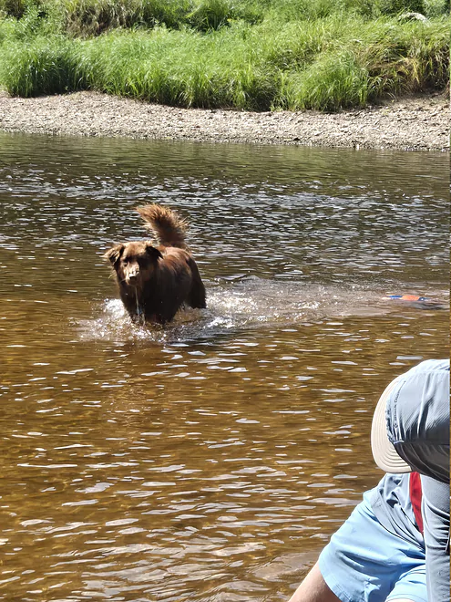
We put in at the Eisberner Memorial Landing at approx. 11 am. We left a vehicle at the ATV trailhead at Highway G, took out just before the Highway G bridge through the gate on Channey Road. Water level was very low as we expected from other reports and gauge readings. Took approx. 4 hours. Some of the documented rapids sections were run-able but most were too low to float and were walked. River depth increased as we approached Highway G. Paddled in a tandem Old Towne Discovery 164 with 2 paddlers and a dog. Dog was taxi’d through rocky sections and frisbee’d through sandy sections (very good boy). I would expect similar, if not more, difficulty in a kayak at these levels. We scouted both the North and South Fork the evening prior. North Fork had similar levels to main channel. South Fork looked completely impassable between low flow and downed trees. Bicycle shuttle from G to Canoe Landing would be doable. Outside of rocky sections expect heavy route finding at this level to avoid bottoming out on sandbars. We had some rain the day prior but Black River at Neillsville (as suggested by other reports) was reading ~61 CFS morning of trip.
Thank you Chalmers for the review! Note for readers: another gauge for consideration is the Fall Creek gauge. It read -0.67 OBS.
WisconsinRiverTrips.com is always very appreciative of guest reviews, and if you, the reader, is ever interested in submitting one, you can use this online form.
Detailed Overview
North Fork:
- Upstream of Township Memorial Park: I'm not sure if the far upper reaches of the river are navigable.
- Township Memorial Park to Hamilton Falls: 2.9 miles. I think this leg would be sandy with 3-4 major logjams, and maybe one set of Class I rapids.
- Hamilton Falls to Viking Pipeline Access: 1.0 miles. A scenic mostly flat-water stretch with maybe one set of rapids. This part of the river has steeper terrain and more hills than the lower North Fork. Note, if you don't want to run Hamilton Falls (Class 3), you can portage them or launch just from the downstream side.
- Viking Pipeline Access to Beeman Creek Access: 3.5 miles. A nice remote prospect with nice woods, a few rapids and perhaps some rock formations.
- Beeman Creek Access to North/South Fork Confluence: 3.0 miles.
- Beeman Creek Access to Channey Road: 0.4 miles. A terrific stretch with scenic pines, several nice outcrops, boulder gardens and Class I and II rapids. This part of the river can get very shallow in summer.
- Channey Road to North/South Fork Confluence: 2.6 miles. Attractive wooded stretch with mostly lazy current, sandbars, and gravel bars. There are a handful of rapids, with the best and most scenic being closer to Channey Road.
South Fork:
- Upstream of Koehler Ford Lane:
- Dickerson Ave to Koehler Ford Lane (Main Branch): 7.3 miles. Very sandy stretch and likely has a handful of logjams. Probably nothing special about it.
- Rock Dam County Park to Koehler Ford Lane: 4.5 miles. Half this trip is on Hay Creek, which has some neat dells. Launch below the dam. Maybe some logjams but should be easy to portage on adjacent sandbars.
- Koehler Ford Lane to Hwy H: 5.1 miles. A pleasant stretch.
- Hwy H to North/South Confluence: 3.1 miles. A sandy segment I don’t know much about. Likely nice.
Main Channel:
- North/South Fork Confluence to Eisberner Memorial Park: 0.8 miles. Generic leg–not super interesting, but there are a few large sandbars and some minor rapids at the Eisberner access.
- Eisberner Memorial Park to Hwy G: 5.1 miles. Good prospect with nice sandbars, a large exposed sand bank, and maybe 5-6 Class I/II rapids.
- Hwy G to Lake Eau Claire Dam/Lake Eau Claire Park: 6.1 miles. Probably uninteresting flowage paddling. Alt access on the north shore by the county park. Note, the portage past the dam to Hwy 27 would be very difficult.
- Lake Eau Claire Park to Hwy 27: 0.3 miles. A scenic section with rapids and rock formations.
- Hwy 27 Landing to Harstad County Park: 1.7 miles. Launch on a newish landing under Hwy 27. Neat granite outcrops in the area.
- Harstad Park to Hwy D: 8.5 miles. Great section with epic sandbanks.
- Hwy D to Big Falls Park: 6.7 miles
- Hwy D to Hwy K Landing: 5.5 miles. Good section with a number of sandbars and one set of fun Class II rapids.
- Hwy K to Big Falls Park: 1.2 miles. A short stretch with one nice beach by Hwy K. Big Falls Park is very scenic but has some serious whitewater and falls.
- Big Falls Park to QQ Boat Ramp: 6.6 miles.
- Big Falls Park to North Shore Drive Wayside: 5.2 miles. A very sandy stretch with many sandbars and several significant sandbanks. It's an attractive and pleasant paddle, but lacking in the rapids and elite scenery of other sections on the Eau Claire.
- North Shore Drive Wayside to QQ Boat Ramp: 0.9 miles. A generic leg that isn't that interesting. Current really starts to slow down.
- QQ Boat Ramp to Altoona Lake Dam: 4.5 miles. Half of this flows through a broad, sandy channel and half through a flowage lake. There is an alternate take-out at Lake Altoona Park.
- Altoona Lake Dam to Mouth: 3.3 miles. A neat section through downtown Eau Claire with some Class II rapids.
- Eau Claire Mouth to Hobbs Landing: 1.9 miles. A short paddle on the Chippewa through the University of Eau Claire campus before reaching your take-out.
Coon Fork Creek:
This is a wild card prospect referred to me by canoe author Mike Svob and EC Adventures. The main route starts at Coon Fork County Park (by the dam). I checked it out and it actually looked really cool. The area is very rocky and it appears the creek flows partly through rocky dells and canyons before emptying into the Eau Claire (at which point you could take out at G). While shallow looking (when I scouted it), I thought it might be runnable as is (can’t be certain though). Reminds me of perhaps Robinson Creek or Spring Brook in the Dells. RiverDarter.com has a nice video of the creek here.
Bridge Creek:
This is a really cool tributary to the Eau Claire with rocky dells and striking sandbanks. Reviewed here.
Trip Map
Overview Map
Photos Size:
2 Comments to “Eau Claire River – Eisberner”
How did your trip turn out? Questions or comments? Feel free to leave your feedback.

What is the water snake situation in this stretch? I do not have a dog to defend me.
I’m not an expert on water snake populations. But…to humans they’re considered harmless. I doubt water snakes are common on this stretch…I think they like like muddier rivers and are more concentrated in Southern Wisconsin.