
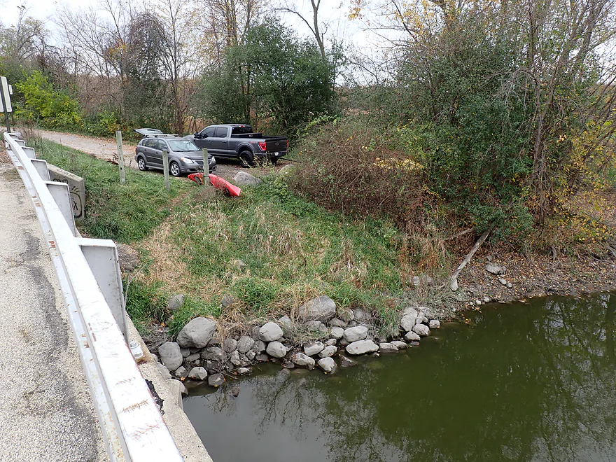
Starting the trip at Elmwood Park
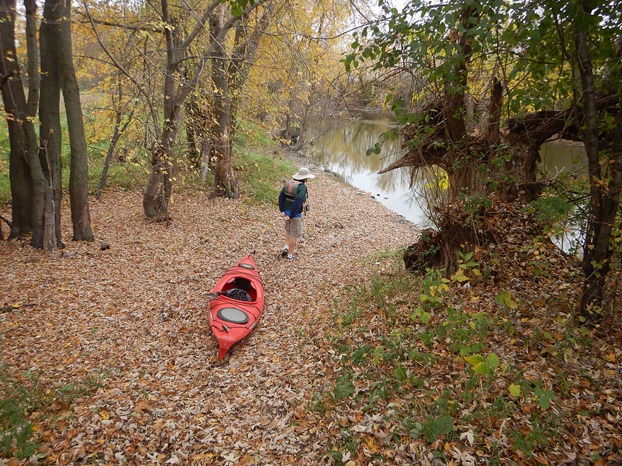
Leafy trail leads to the water
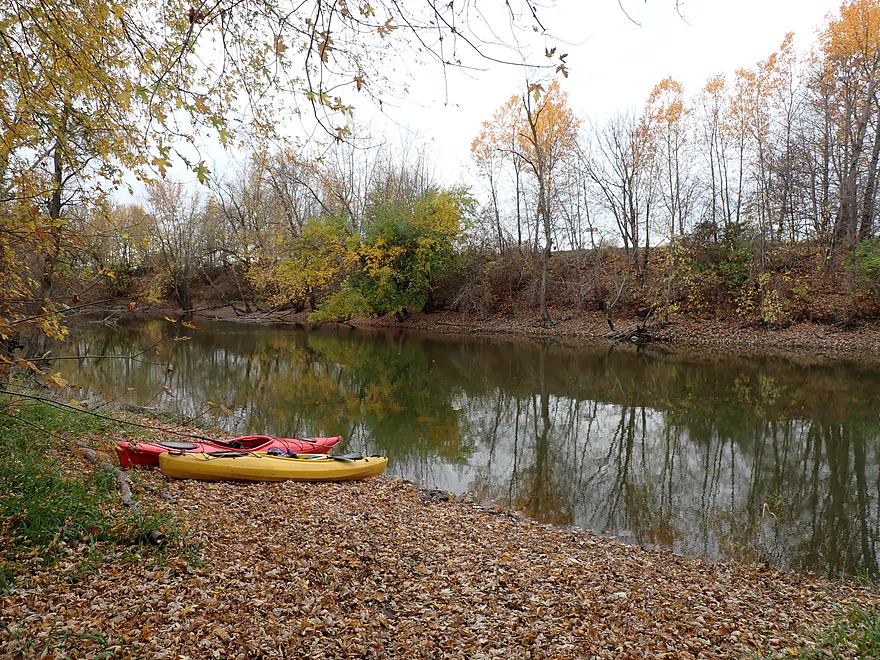
Nice launch
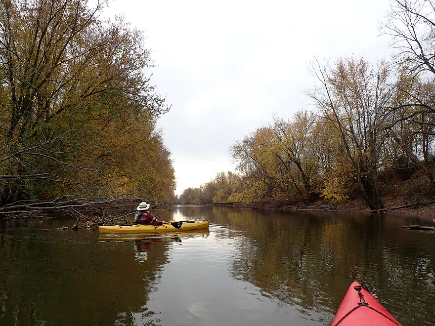
First half mile had been artificially straightened
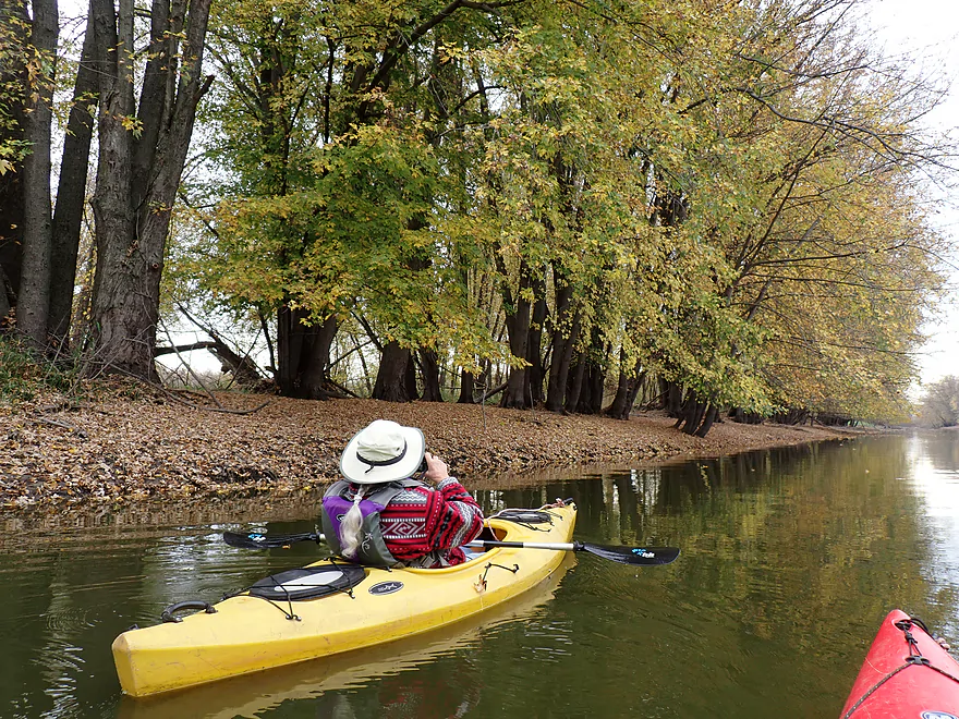
The leaves were fantastic
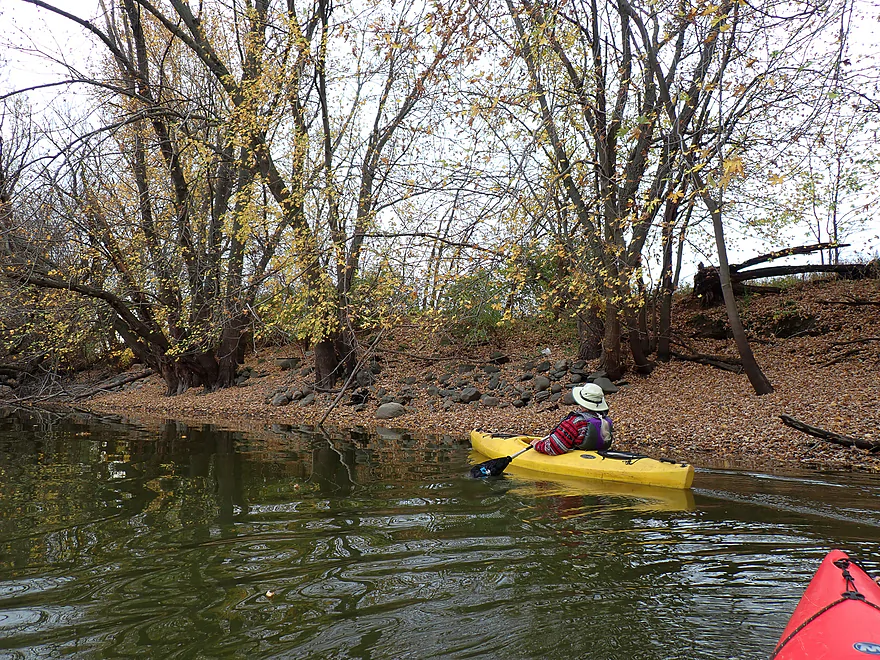
Rocks on the Rock
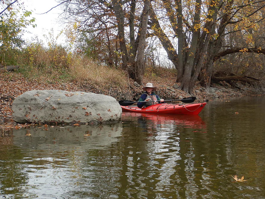
One of the larger erratics
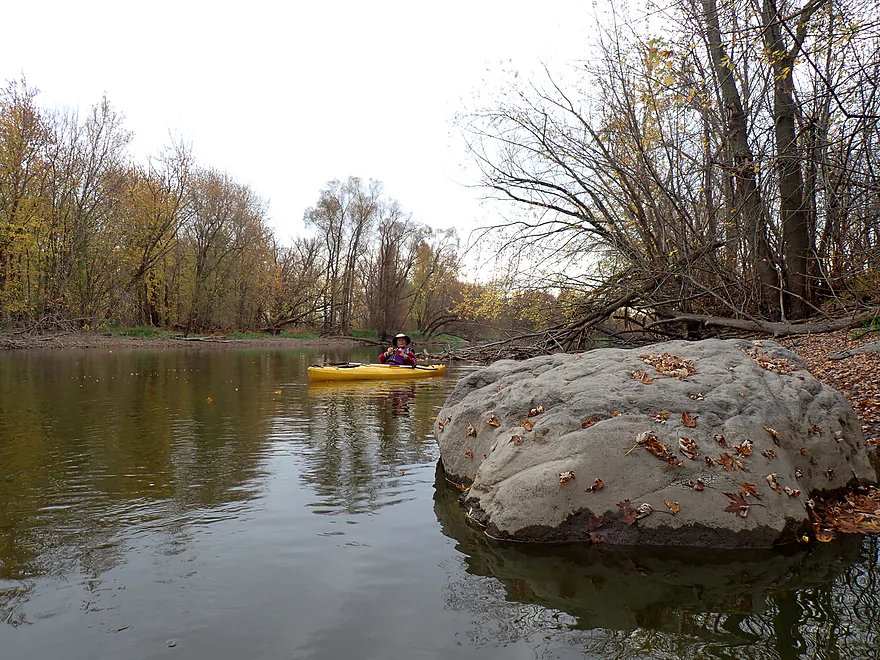
Pretty cool
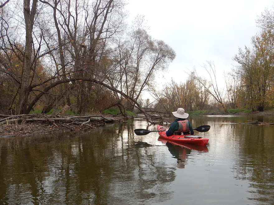
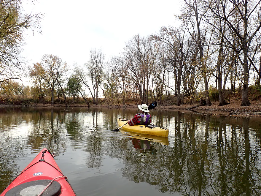
Sharp bend in the river (Dunn’s Point)
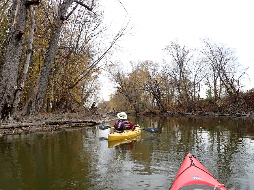
Now heading east
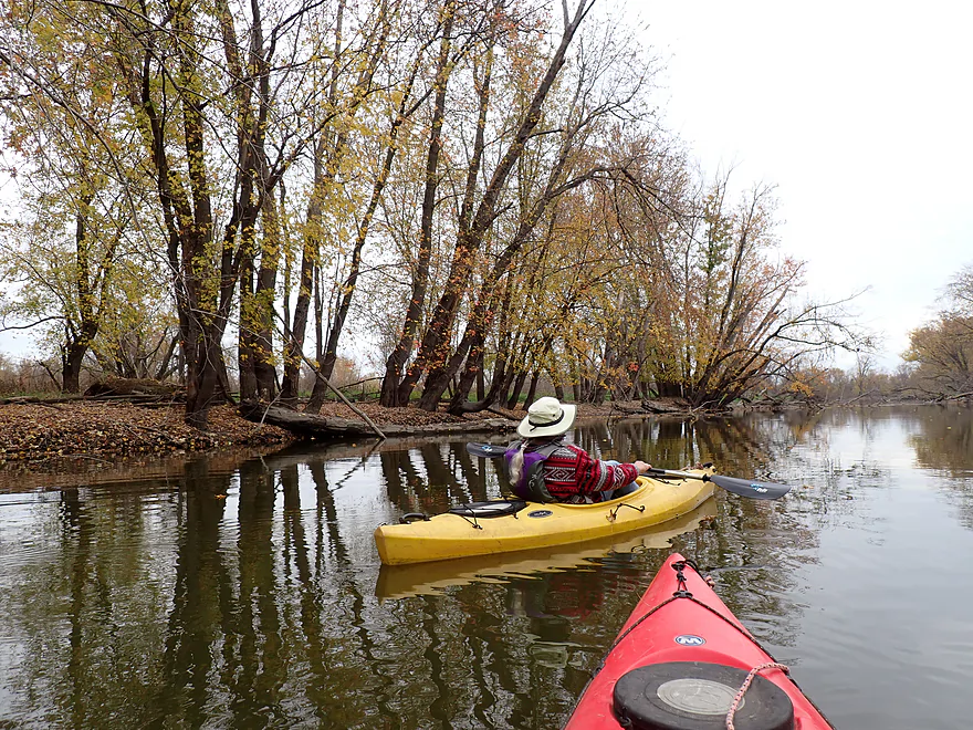
Nice tree reflections
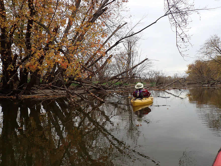
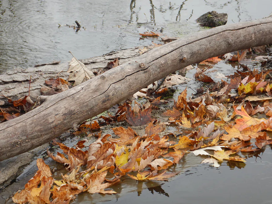
A leaf traffic jam
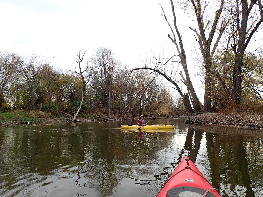
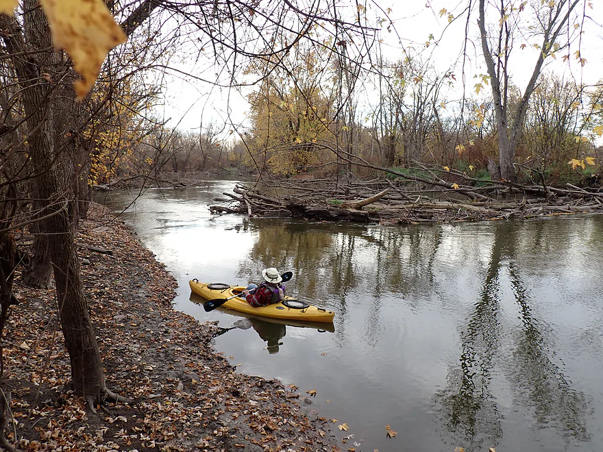
Starting to see a few logjams
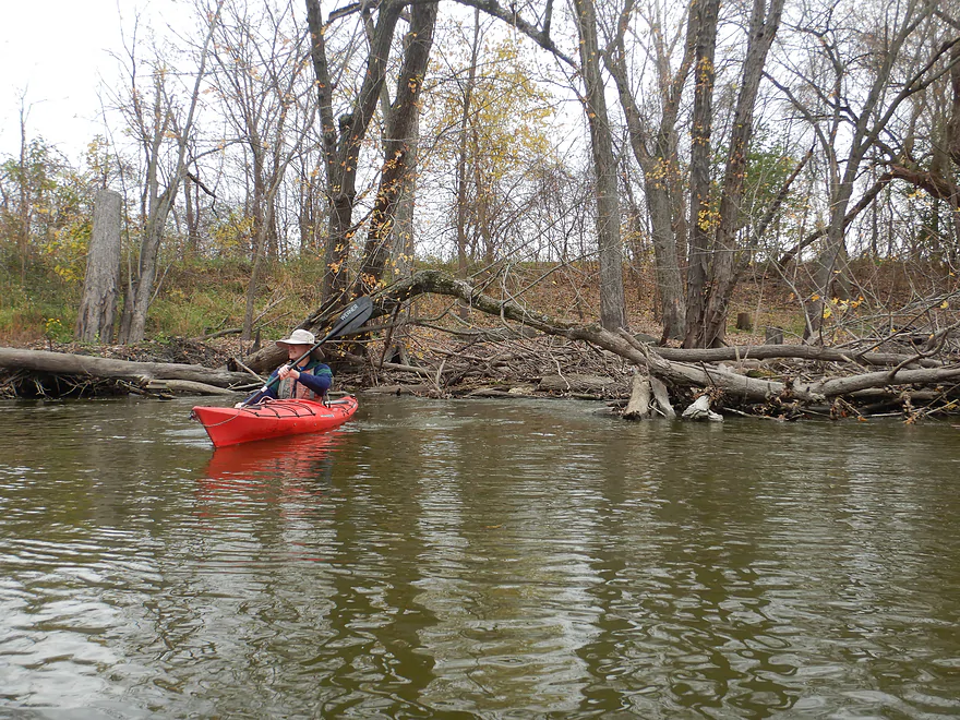
This one was easy to get past
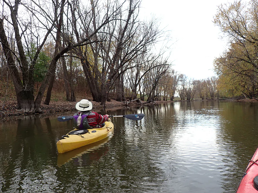
Cool line of trees
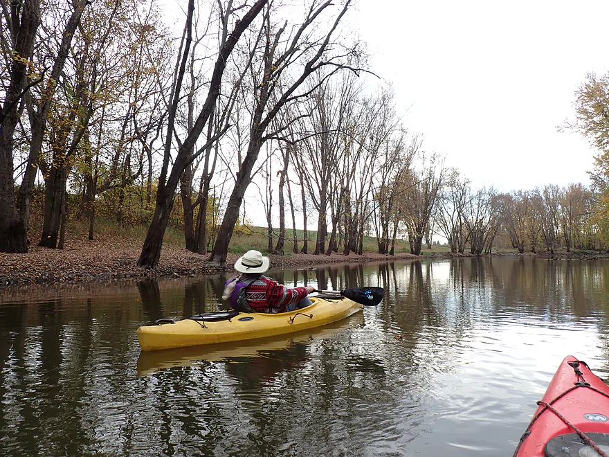
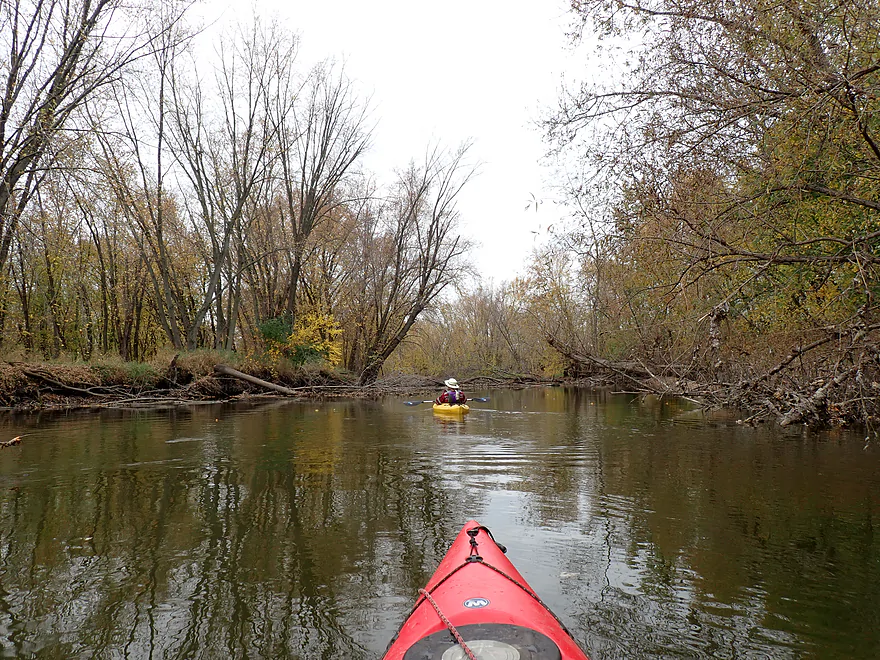
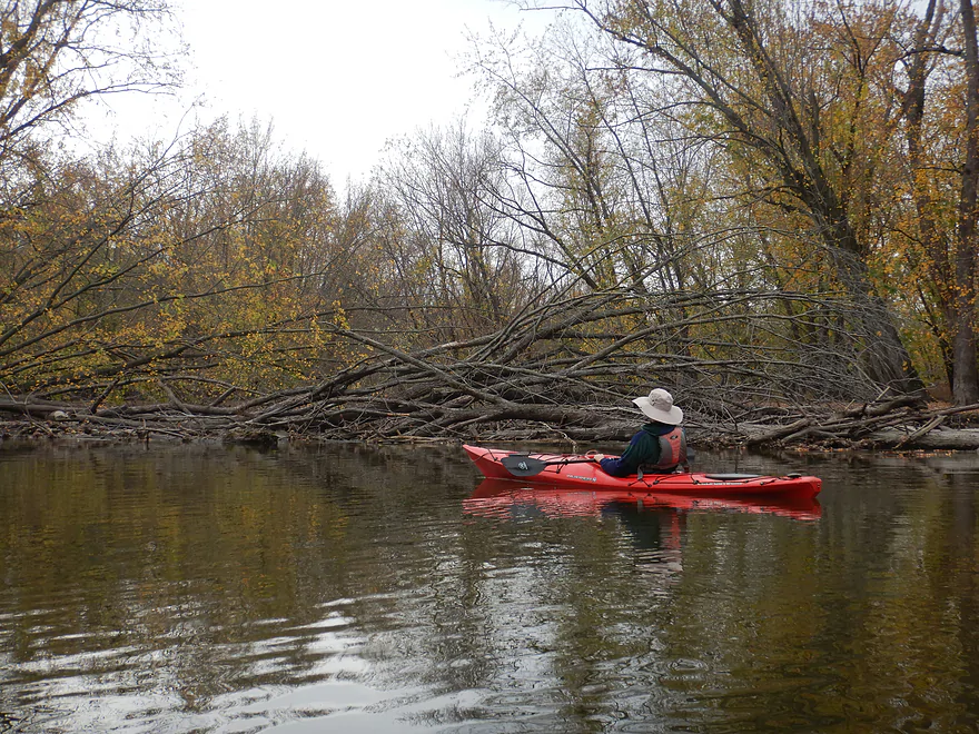
Only major logjam of the trip
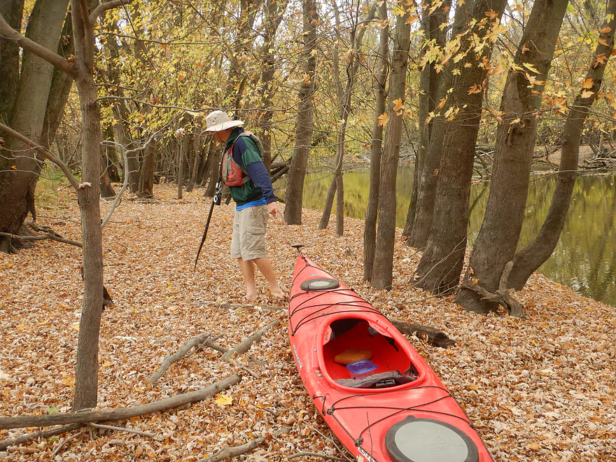
Portaging over a carpet of leaves
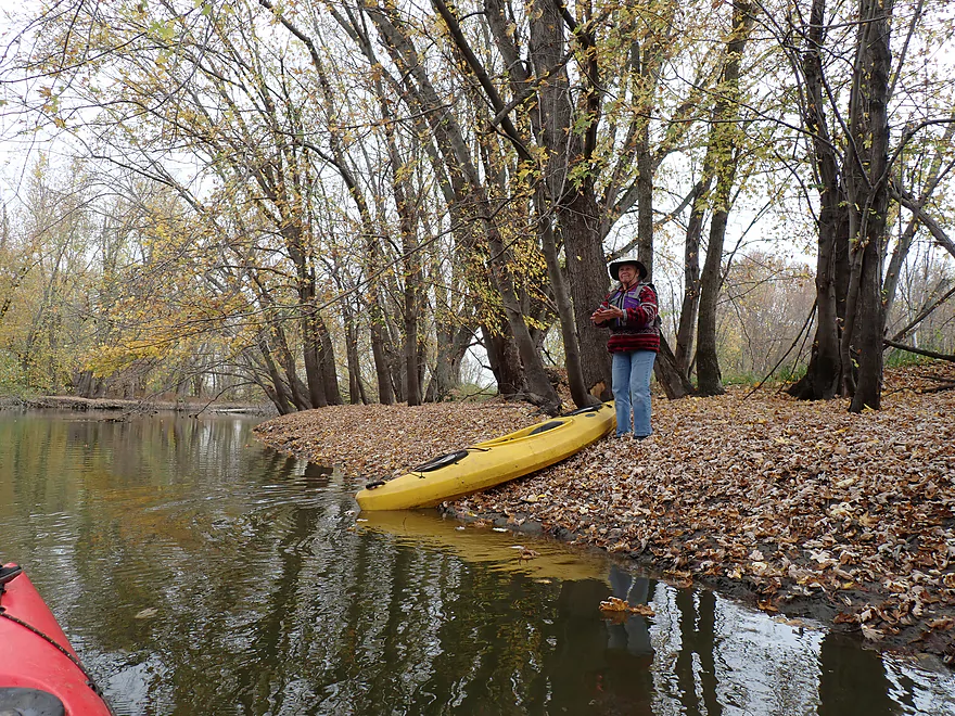
Had to go downstream a bit to find a shallow enough bank to reenter
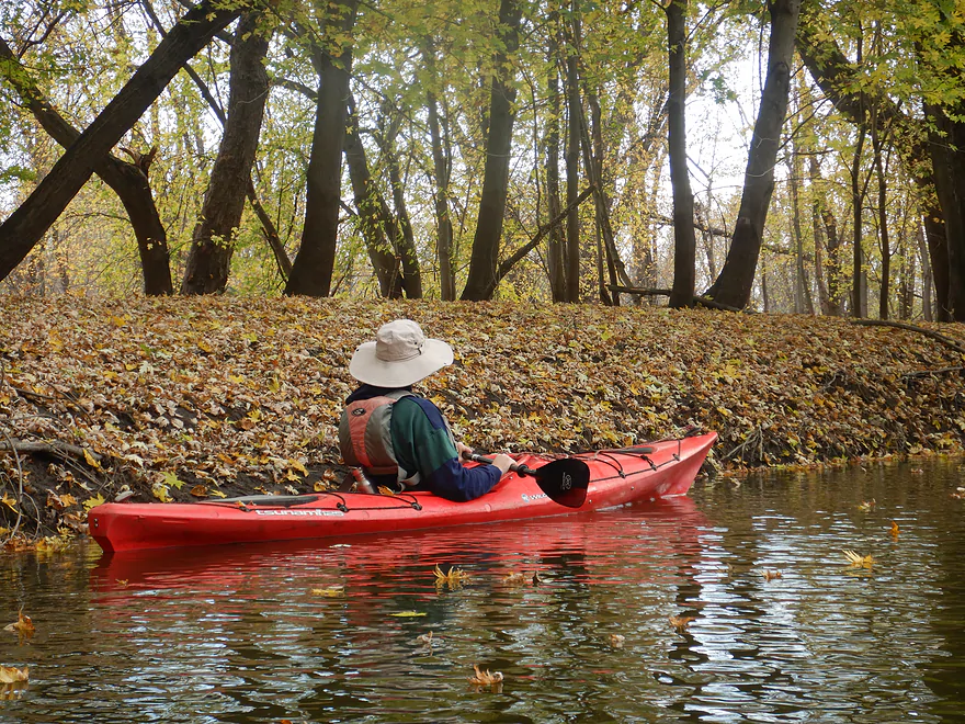
Leaves were hiding a lot of mud
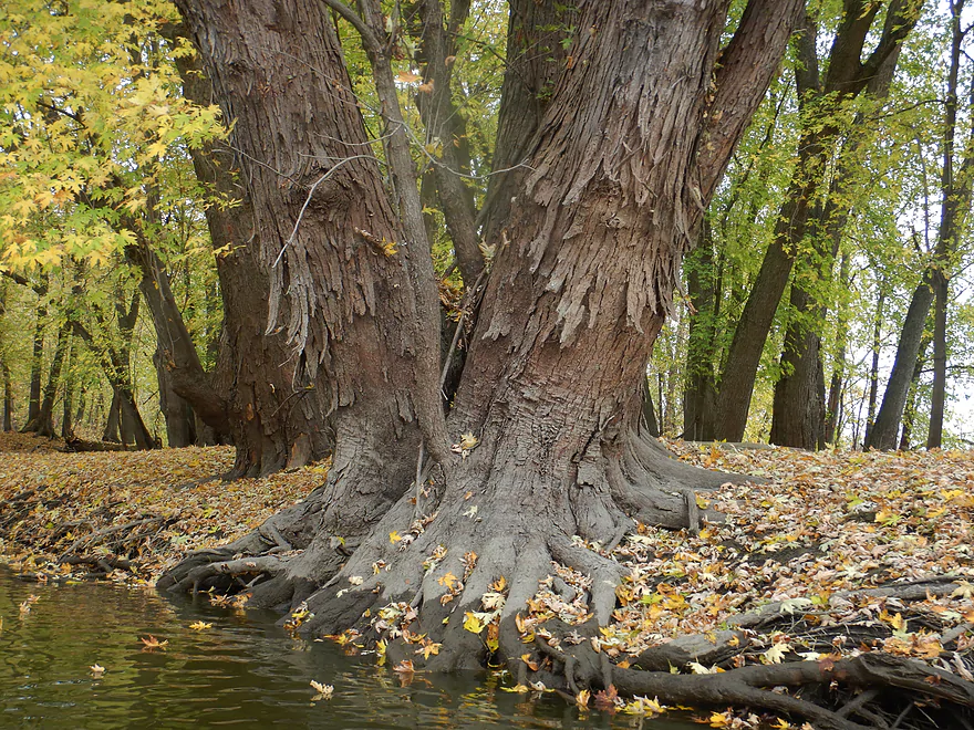
Damage from ice floes
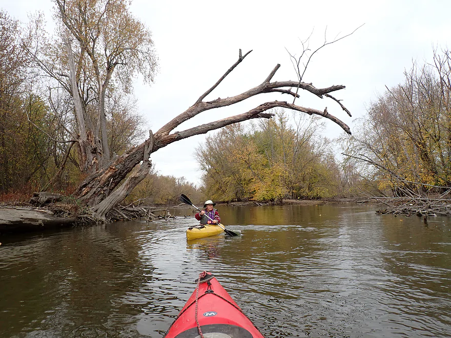
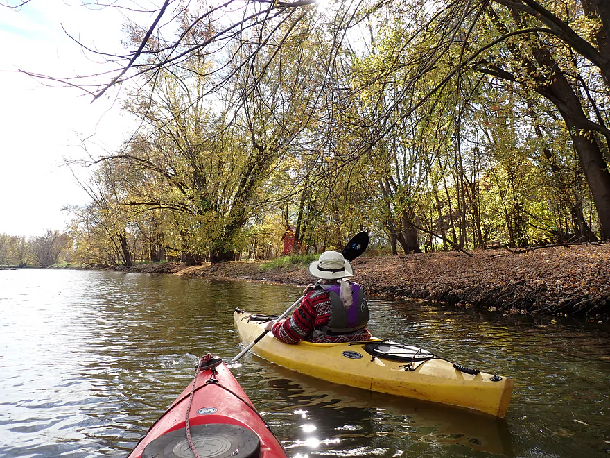
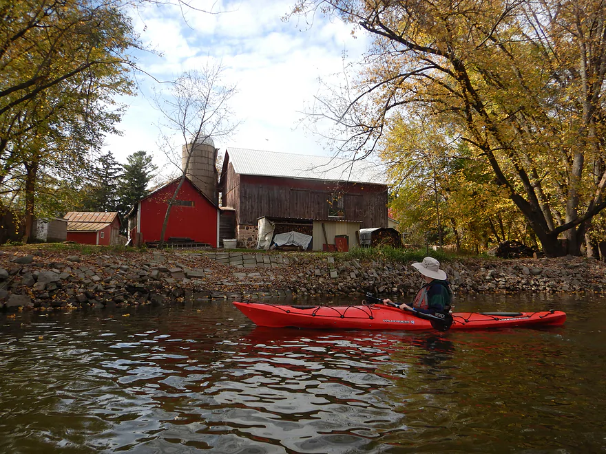
A riverside farm and old barn (interesting riprap)
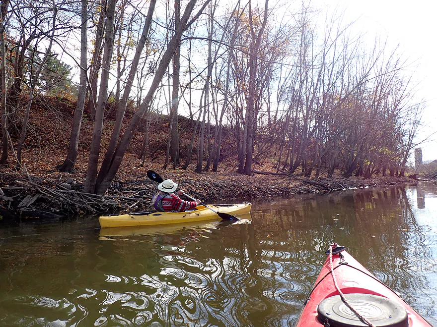
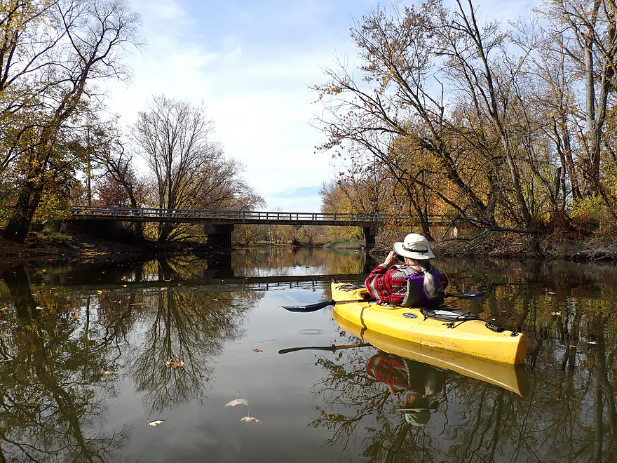
Davidson Road
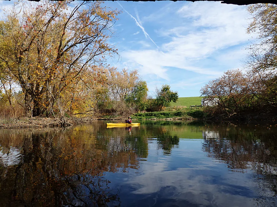
Reverse view (sun finally coming out)
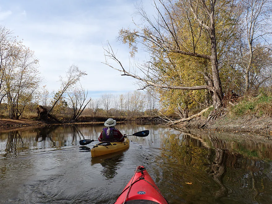
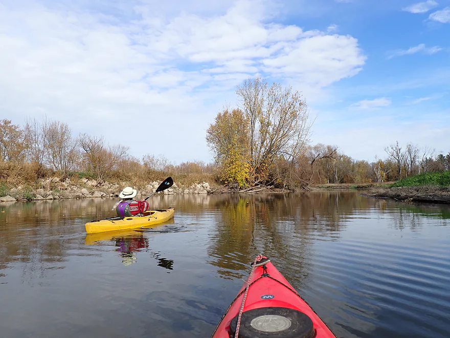
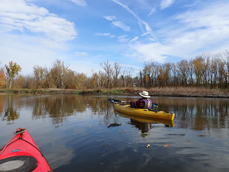
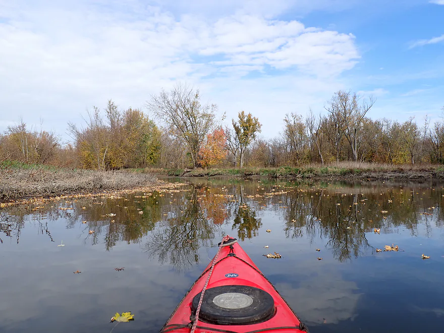
Lots and lots of floating leaves
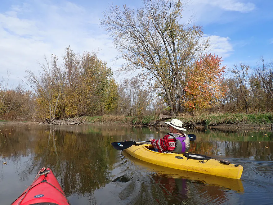
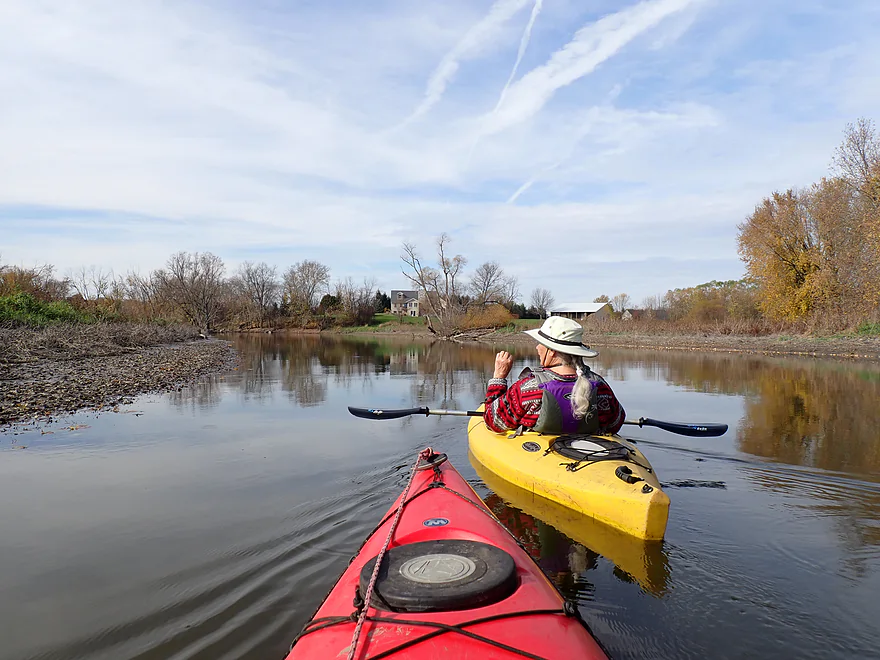
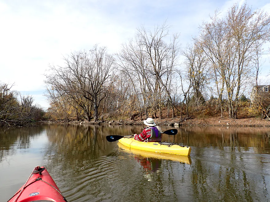
Attractive oaks
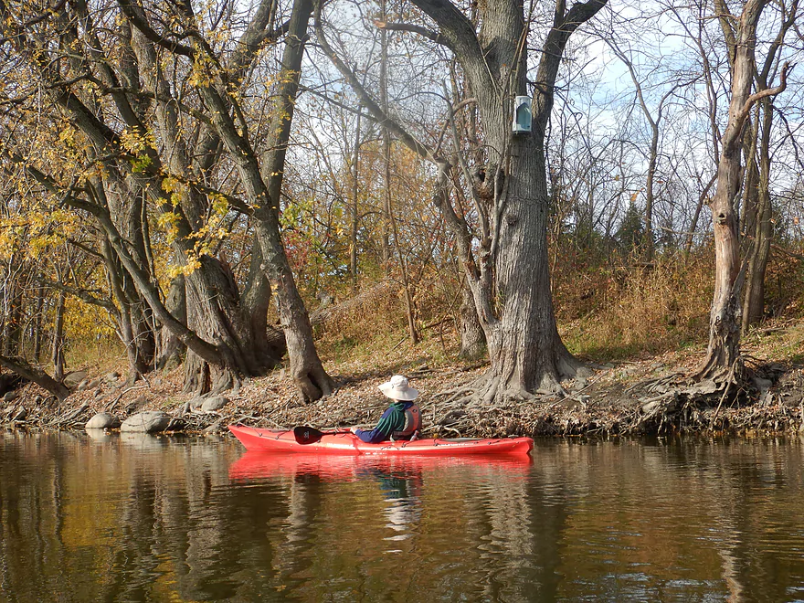
Destroyed wood duck house (maybe a raccoon)
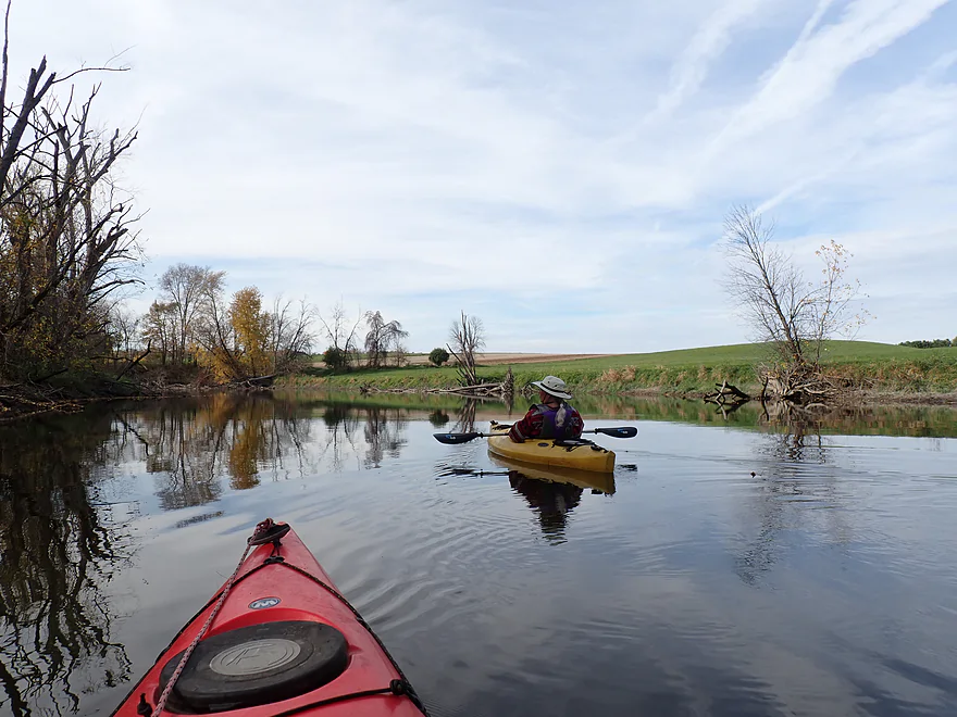
Passing some more drumlins
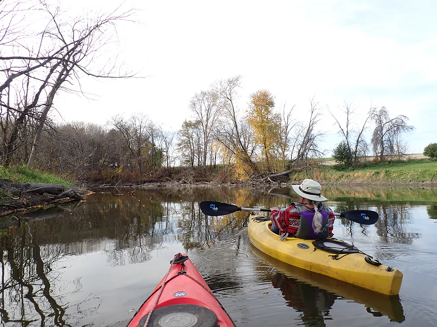
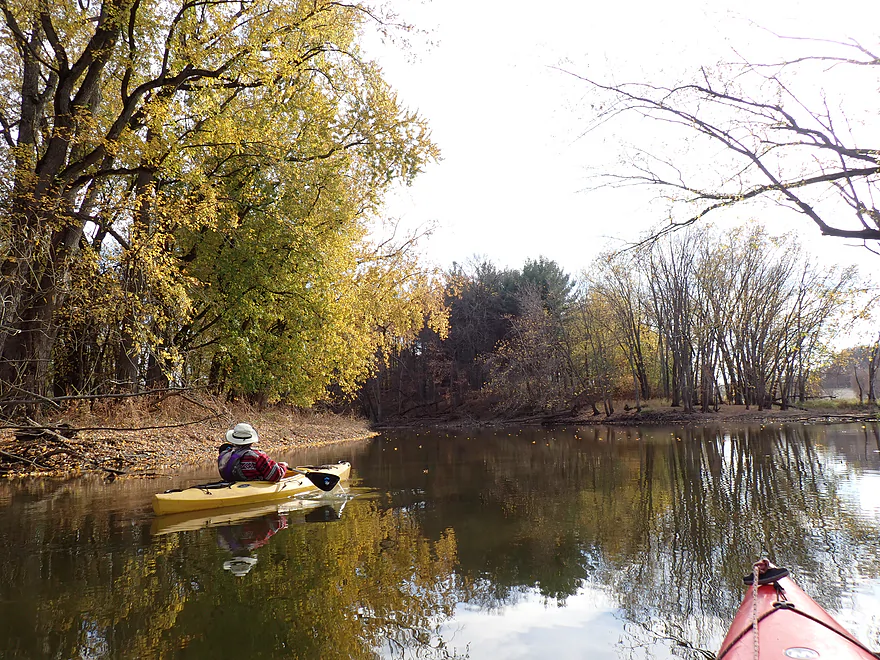
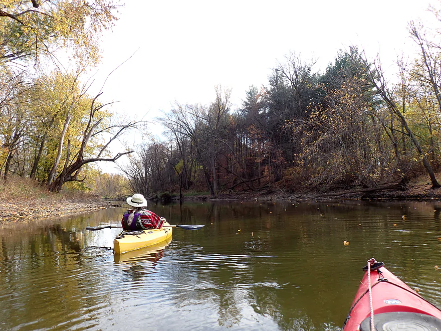
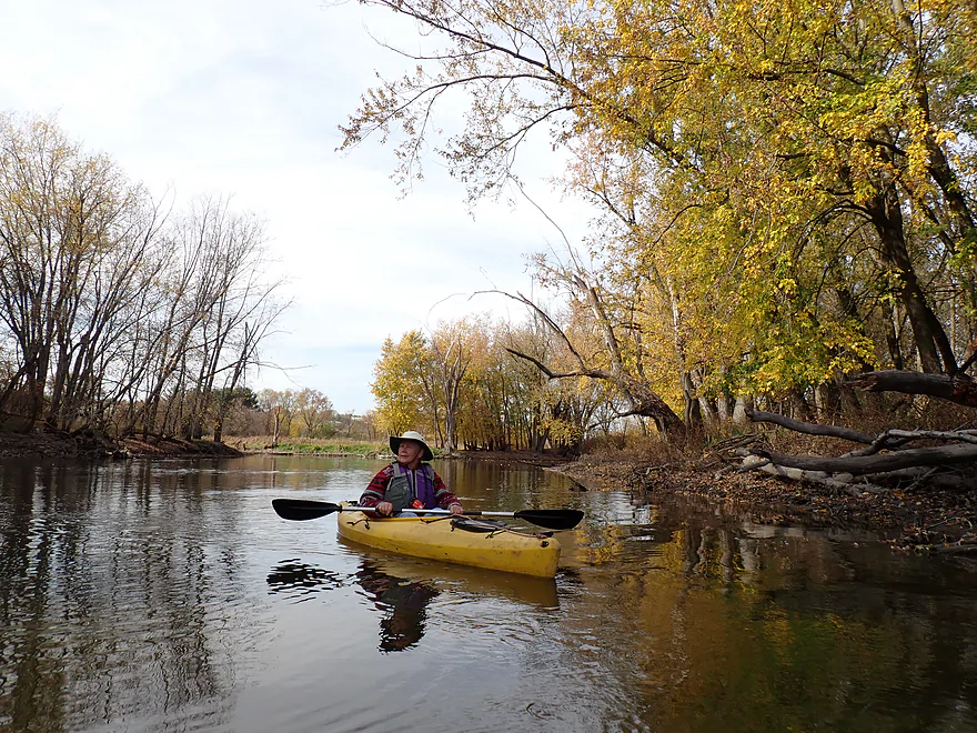
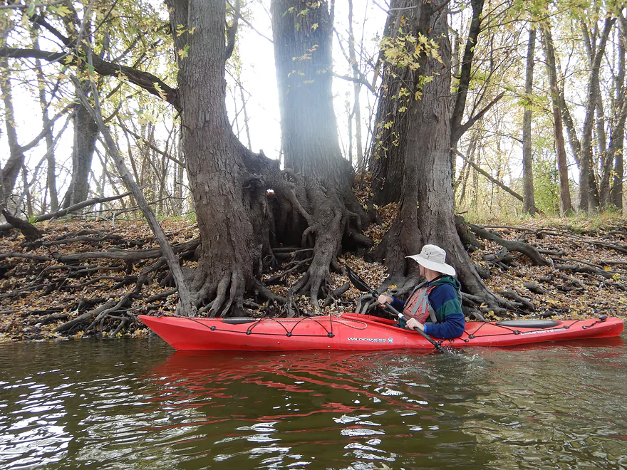
Cool roots
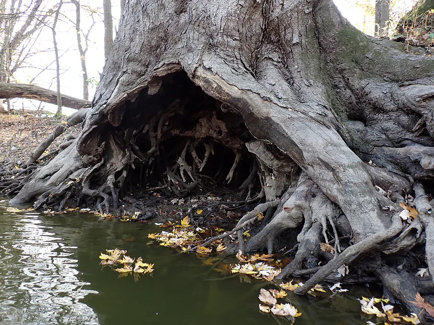
Tree cave
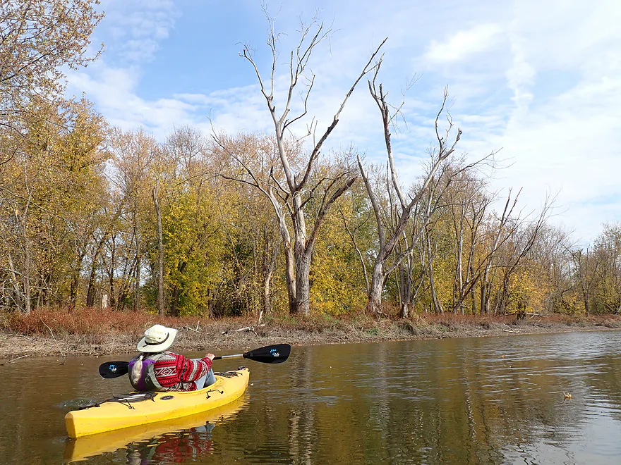
Quite a few dead trees along the bank
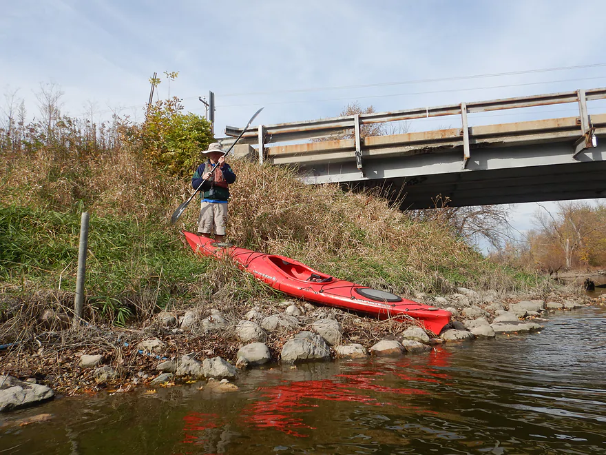
Ending the trip at Cty Rd MM
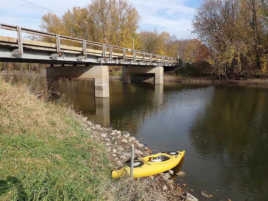
A bit weedy but doable as an access


Rock River – Elmwood Park


Crossing the Rock River about five miles south of Hustisford (and 13 miles south of Horicon) is the Elmwood Road bridge and a small pull-off and landing labeled on some paddling maps as “Elmwood Park.” While parking is limited to just two or three cars, it’s a nice little put-in. Paddling here in late fall pays dividends: fallen leaves carpet the otherwise slick, muddy banks, making for a little easier and “cleaner” launch.
For the first half mile below Elmwood Road, the river runs abnormally straight. Unlike the natural bottomlands further downstream, this brief stretch was clearly channelized. Agricultural fields run adjacent to the western bank, while old oxbows show up on aerial maps beyond the eastern shore. Despite the flat, glaciated terrain and bottomland ecology (99% silver maple trees), the river was surprisingly scenic.
Paddlers should not equate the Upper Rock with the Lower Rock (south of Watertown and I-94) which has a reputation as a monotonous, muddy river. The upper stretch is much more scenic, and late fall especially transforms the river. Frost had already knocked down shoreline weeds, creating a clean appearance, and the almost leafless trees had a stark, simple beauty. Remaining leaves added a touch of color. The current moved slowly, but we could easily tell its speed and direction by the floating leaves on the surface.
Right after a sharp turn east, and about a half mile from the bridge, Mud Run Creek empties into the main channel from the left and the river finally returns to a more normal, winding course. Old, fallen trees lined both shores, though the channel’s width keeps most of the river open. We encountered our only portage roughly halfway into the trip–a portage that required dragging our boats along the leafy bank to find a shallow re-entry spot. A carpet of fallen leaves made walking on the muddy bank much easier and far more scenic. Two other trees lying across the river were easy to paddle around or duck under.
Near Davidson Road, we met a local farmer on a tractor who walked to the bank and asked if we had seen any dead deer. He said his neighbor had about 30 “in a pile” further upstream. We hadn’t seen any on the Rock, but I had seen dead deer in the two prior weeks on Cedar Creek and the Oconomowoc River. The culprit was Epizootic Hemorrhagic Disease (EHD), a virus spread by biting midges and that has hit southeast Wisconsin counties particularly hard this fall. Infected deer develop searing fevers and instinctively head into water to cool down before dying. Fortunately, the virus is harmless to humans.
Davidson Road is not a practical access, but scooting under the Davidson bridge treats you to a unique geographic quirk: the river makes an immediate, tight horseshoe bend, wrapping right back along the opposite side of Davidson Road before turning west and then continuing south (probably not a good flood situation).
The final 1.7-mile run from Davidson Road down to County Road MM opened up dramatically. The dense bottomland canopy thinned out to reveal long views of some of Dodge County’s many drumlins. This area sits directly in the heart of Wisconsin’s world-famous drumlin fields, and the glacial topography offers the best scenery of the entire leg.
Taking out at County Road MM wasn’t as easy as putting in at Elmwood. We took out at the southwest corner by the USGS gauge. It was hard to find a spot to climb out because of rocks, mud, and deep water. Then you have to drag your boat up a weedy bank to the road shoulder (difficult, but doable).
Outside of the farmer and a couple of canoers, we saw very few people on this trip. Houses were few and far between, giving the trip a peaceful and remote feeling. We were hoping to see more wildlife, but it was surprisingly quiet–except for the “smacks.” About 20 times during the trip, very large carp breached the water and fell back with a loud splash. Supposedly they do this to knock mud and debris from their gills, since they are bottom feeders and are known for rooting around in the mud (and disturbing water quality).
Overall, this is an easy-going, pleasant paddle, particularly for autumn. Although it doesn’t match the next twenty miles downstream, which has more diverse woods and geography, it easily tops the heavily ditched and damned reaches of the Rock north of Hustisford. First-timers looking for the best starter stretch on the Upper Rock should stick with the “Kaul Park to Kanow Park” leg, but the Elmwood Road stretch through drumlin country is well worth an afternoon on the water, especially in the fall. If the DNR or Dodge County ever build more landings along this stretch, it could easily become a more popular place to paddle.
Sights included several redtails, 4–5 adult eagles (all with white tails), one flock of turkeys (including teenagers), and a few cranes. What was remarkable were all the high-flying carp (at least 20). We expected to see more waterfowl, but the timing may have been late for most ducks and geese.
The trip we did was just a part of a much larger designated water trail that starts in the headwaters above Horican and travels 320 miles to the Mississippi River in Illinois. There are 150 developed access sites on the trail, which all sport the Rock River Water Trail logo. Added bonus…if you do the entire 320-mile trip, you get your name on a wall of fame and receive a special patch.
The Rock River Water Trail is proud to be a designated National Water Trail. The water trail meanders down a gentle gradient through beautiful rural and wilderness landscapes and vibrant urban riverfronts to safely carry the water traveler 320 miles from the headwaters above the Horicon National Wildlife Refuge in south central Wisconsin to the Mississippi River at the Quad Cities of Illinois and Iowa. The Rock River Water Trail is of national significance for its great diversity and landscape, vista, recreation, cultural, and historic experience, and for its ease of accessibility.
Elmwood Park: There is a small but nice pull-off/access southeast of the Elmwood Road bridge.
Alt Put-ins:
- Lions Park/Hustiford (7.3 miles upstream from Elmwood): This is an okay stretch of the Rock, but not super interesting. In general, it’s flatter and lacks the glacial features of the downstream legs.
Cty Rd MM: A weedy but doable bridge access. We exited the river by the USGS station along the southwest corner. Paddlers should stay within the DOT right-of-way and not wander onto the adjacent private property. This is actually a key bridge location on the Upper Rock, so I hope Dodge County eventually adds a landing here.
Alt Take-outs:
- Monroe Road Shoulder (4.2 miles downstream from Cty Rd MM): I was told this is a suitable access. Another option would be the nearby creek bridge. This bonus leg should be nice, with some attractive drumlins.
- Harnischfeger Park (7.1 miles downstream from Cty Rd MM): Excellent public access featuring dedicated parking and an outhouse. While the river flattens out past Monroe Road, the area by the park is scenic.
Bike Shuttle – Cty Rd MM to Elmwood Park: 4.9 miles with 128′ of ascent. This area is surprisingly hilly (it reminded me of the Driftless Area), so route choice matters. To bypass the worst hills, first shuttle east of the river for the southern stretch, cross at Davidson Road, and finish the northern half along the west bank.
Current/Rapids: No rapids and there wasn’t much current…in fact, parts of the river are slow enough that you could do round trips.
Wind: This is an open trip, so you’ll want to be mindful of wind direction and speed.
Logjams: There was one logjam that we had to get out for (here). The portage was moderately difficult… it wasn’t weedy, which was nice, but it was a bit muddy, and we did have to do a longer portage than ideal to find a shallow reentry bank. This logjam was immediately followed by two additional downed trees. We were able to sneak through without too much difficulty, but these may require portages at different depths. Other than that, this trip was remarkably open and easy.
Closest Gauge: Rock River @ Lebanon
My Trip Depth: 225 CFS or 4.91′
Gauge Guide: In general, the Upper Rock is very flexible… you can typically paddle it when high or low.
- < 100 CFS: This might be drought depth, but the river should still be navigable.
- 101-200 CFS: Relatively low depth, but plenty navigable.
- 201-300 CFS: Average depth. Fine for paddling.
- 301-400 CFS: High depth. Should still be fine for paddling.
- 401-600 CFS: Pretty high depth. The river may not be as clean or attractive, but I think it would still be navigable.
- 601-800 CFS: Very high depth.
- 801-1,000 CFS: Perhaps minor flooding on the shallow banks. Still viable for paddling.
- 1,001+ CFS: Likely major flooding. Paddlers who know what they’re doing could, in theory, still paddle the river.
Detailed Overview
Main Branch:
- N. Nebraska St. to Legion Park/Dam: 0.9 miles. An ok section through downtown Horicon.
- Legion Park to River Bend Park: 1.1 miles. Simple river segment…probably nothing too special.
- River Bend Park to Lions Park: 8.8 miles. A large and probably uninteresting flowage. If you get permission to take out at Ox-Bo Marine, you can avoid much of the flowage paddling.
- Lions Park to Elmwood Park: 7.2 miles. Trip starts nice with a great boulder garden, but becomes less interesting as the current dies.
- Elmwood Park to Cty Rd MM: 4.4 miles. Better than the preceding legs, but not as interesting as the following legs. This is still a pleasant, peaceful paddle with nice wooded banks and a few rolling drumlins.
- Cty Rd MM to Monroe Road Shoulder: 4.2 miles. I suspect this is a nice stretch with a few decent drumlins.
- Monroe Road Shoulder to Harnischfeger Park: 2.9 miles. I was told you could use the shoulder here as an access. This leg looks a bit flatter and more beatup by floods, but after Hwy O there are some nice hills and woods.
- Harnischfeger Park to Kaul Park/Hwy CW: 5.1 miles. Despite slow current and some motorboat traffic, this is a pleasant and relatively secluded stretch of the Upper Rock River.
- Kaul Park to Kanow Park: 5.7 miles. Despite a lack of current, dead trees, and some mud, this is a very nice leg and one of the better stretches on the Rock River.
- Kanow Park to Hwy F: 5.0 miles.
- Hwy F to Wayside Park: 0.9 miles. Short but scenic leg.
- Wayside Park to Rockvale Road: 1.9 miles. Slow, simple stretch but pleasant.
- Rockvale Road to Hwy F: 2.4 miles. Scenic leg.
- Hwy F to Hwy P: 6.0 miles. This isn't an elite trip with slow current and no exotic scenery. But it is pleasant and one of the nicer legs on the Lower Rock.
- Hwy P to Dam1st/Front St.: 5.6 miles. Probably an uninteresting flowage paddle.
- Dam(1st)/Front St. to Dam(2nd)/S. 1st Street: 2.6 miles. Possibly a unique paddle through downtown Watertown.
- Watertown Dam/1st Street to Cappie's Landing: 3.5 miles. A mediocre prospect.
- Cappie's Landing to Crossroads Landing: 9.3 miles. The put-in is SE of Hwy 26 via Jefferson Road. This segment is more undeveloped, but is still probably mediocre at best.
- Crossroad Landing to Hwy B Boat Launch: 1.6 miles. Maybe a boring mini leg...it does pass under busy I-94.
- Hwy B to Lubahn Park/N. Watertown Ave: 4.1 miles. Probably uninteresting.
- Lubahn Park to Tensfeldt Park: 2.3 miles. Paddling through downtown Jefferson might be unique, but there is a dam to portage. Many alt landings in Jefferson.
- Tensfeldt Park to Klement Park: 4.2 miles. Probably an uninteresting tweener section between Jefferson and Fort Atkinson.
- Klement Park to Lorman Bicentennial Park: 3.1 miles. A weak prospect through downtown Fort Atkinson.
- Lorman Park to Hwy 26 Ramp: 3.3 miles. A weak prospect.
- Hwy 26 to E. Knudsen Road Ramp: 11.8 miles. Mostly boring paddling on Lake Koshkonong. Many other launches on the lake.
- E. Knudsen Road Ramp to Hwy M/Dam: 3.4 miles. Boring flowage.
- Hwy M/Dam to Hwy 14: 8.2 miles. Probably uninteresting.
- Hwy 14/Rock River Park to Centerway Dam: 4.7 miles. This is a slow impounded stretch that flows through the north end of Janesville. It does include some nice parks and wooded hills, but also many piers, riverside developments, and motorboat traffic. There are many intermediate access points to choose from (see overview map for details).
- Centerway Dam to Afton Boat Launch: 2.9 miles. An interesting leg through Janesville's revitalized riverfront. Highlights include unique bridges, building art, some rapids, a cave, good waterfowl and a recently removed dam. This section can be tricky if not dangerous due to fast currents (especially when water levels are high). There are many alternative access points to choose from that aren't listed.
- Afton Boat Launch to Happy Hollow Park: 7.8 miles. A mediocre section with wooded banks, but mostly beat-up flood-bottom trees. The river here is mostly free flowing and not impounded by any dams.
- Happy Hollow Park to Preservation Park Boat launch: 3.2 miles.
- Preservation Park to Wooton Park Boat Ramp: 3.0 miles. Start of urban paddling in Beloit. Numerous other launch options in Beloit proper.
- Further Rock River Trips: From here on, you are in Illinois. For further information see “Paddling Illinois” or Rockrivertrail.com.
East Branch:
- Upstream of Hillcrest Drive: I believe these portions are too congested to paddle.
- Hillcrest Drive to Hwy DW: 4.1 miles.
- Hillcrest Drive to Riveredge Park: 0.9 miles. Scenic stretch through the outskirts of Allenton with good clarity. However, there are two major logjams to portage and several minor logjams to squeak past.
- Riveredge Park to Hwy DW: 2.7 miles. An open stretch through wetgrass and a state natural area. One logjam needs to be portaged.
- Hwy DW to Hwy D: 5.5 miles. Outside of one nasty logjam cluster, this is a pretty open creek paddle through a protected wildlife area that might be decent.
- Hwy D Wayside to N. Pole Rd. Launch: 7.3 miles. A good wetland paddle prospect through Theresa Marsh. Maybe 1-2 downed trees on the upper part.
- Kohlsville River: Note, the Kohlsville River joins the East Branch here, but it seems too congested with downed trees to be feasible for paddling.
- N. Pole Rd to Gill Rd (East): 6.0 miles.
- N. Pole Rd Landing to River Edge Park: 1.3 miles. A slow, open, and marshy channel. Nice though.
- River Edge Park to Rock River Street/Dam: 0.5 miles. A nice town paddle through the community of Theresa. One dam to portage.
- Rock River Street/Dam to Hwy AY: 3.5 miles. One of my favorite stretches on the entire Rock River. While shallow in spots, it is scenic with nice woods, small boulder gardens and multiple light rapids.
- Hwy AY to Gill Road (East): 0.7 miles. A brief wooded stretch that is a nice paddle.
- Gill Road (East) to Hwy 67/Dam: 8.3 miles.
- Gill Road (East) to McArthur Road/Fink Creek: 4.7 miles. Starts boring, weedy, and slow, but gets nice with clear water and rocks later on. Gill Road (West) may be a viable halfway access.
- McArthur Road to Hwy 67/Dam: 3.6 miles. A less interesting paddle through a flowage and downtown Mayville with numerous alt take-outs.
- Hwy 67/Dam to Green Head Road Ramp: 6.4 miles.
- Hwy 67 to Hwy Y/Ziegler Park: 1.9 miles. One of the best paddling stretches on the entire Rock River with good current and small boulder gardens.
- Hwy Y to Hwy TW/Kekoskee Pond Ramp: 1.9 miles. A good stretch that includes a little bit of flowage paddling.
- Hwy TW to Green Head Road Ramp: 2.6 miles. An ok stretch as the river really slows and starts to turn into marsh.
- Green Head Road to N. Nebraska St. Ramp: 10.0 miles. The most popular route through Horicon Marsh. Known for its waterfowl.
South Branch:
- Upstream of E. Rock River Rd.: I suspect downed trees are too much of an issue for this to be navigable.
- E. Rock River Road to Hwy 49: 1.6 miles. Perhaps a cluster of downed trees in the middle and an electric fence upstream of Hwy 49.
- Hwy 49 to Waupun Park: 1.7 miles. Hwy 49 is not ideal for launching, but should be doable. A good prospect mostly through a golf course. Maybe 2 logjams?
- Waupun Park to E. Waupun Road: 7.2 miles. A good section.
- Waupun Park to Tanner Park: 3.1 miles. Great section though downtown Waupun. Alt access at Pine Street Park, Meadow View Park and Harris Mill Park.
- Tanner Park to Roadside Park: 3.2 miles. A pleasant paddle through a mixture of woods and open areas. A couple of logjam squeakers and one major portage.
- Roadside Park to E. Waupun Road: 0.9 miles. River widens, slows, and gets less interesting.
- E. Waupun Road to Dike Road: 10.0 miles. This is the northern unit of Horicon Marsh and is off limits to paddlers per National Wildlife Refuge rules.
- Dike Road to N. Nebraska St. Ramp: 5.6 miles. Am 80% sure you can drive on Dike Road from the east to launch in the ditch. Mostly a long, straight canal paddle through Horicon Marsh with perhaps interesting side canals to explore. You can also launch in a west canal by Burnett Ditch Road. The city of Horicon marks the confluence of the South and East Branches of the Rock River.
West Branch:
It’s a neat prospect, but I suspect the logjam situation is too much (I could be wrong).
Trip Map
Overview Map
Video
Photos Size:
How did your trip turn out? Questions or comments? Feel free to leave your feedback.
