
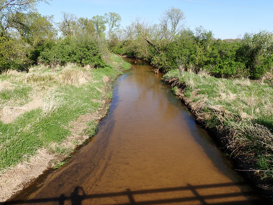
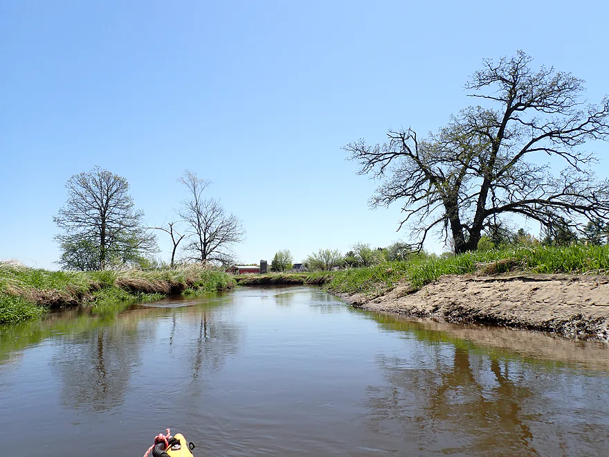
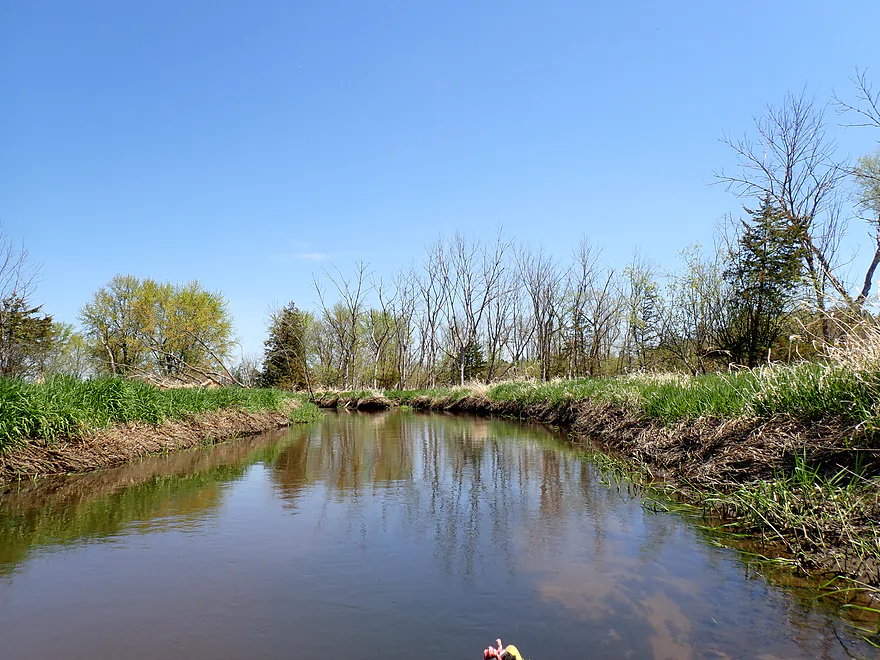
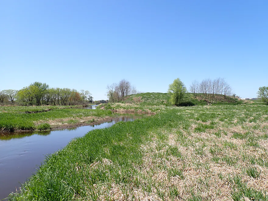
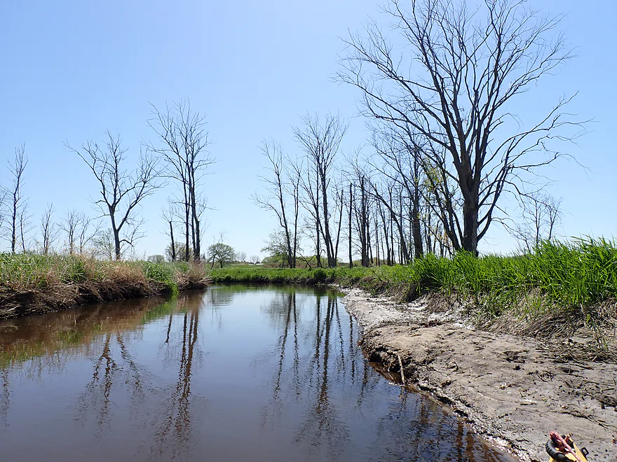
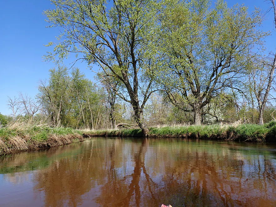
View from Forbes Road
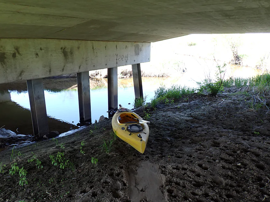
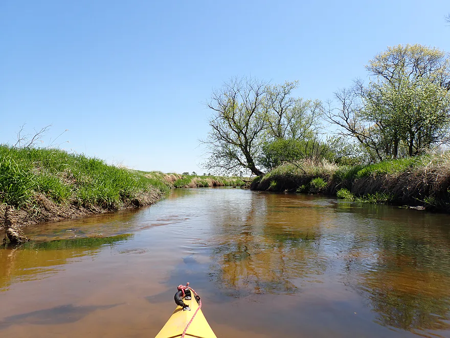
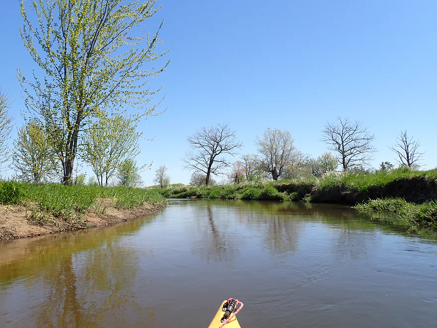
Launching from below the bridge
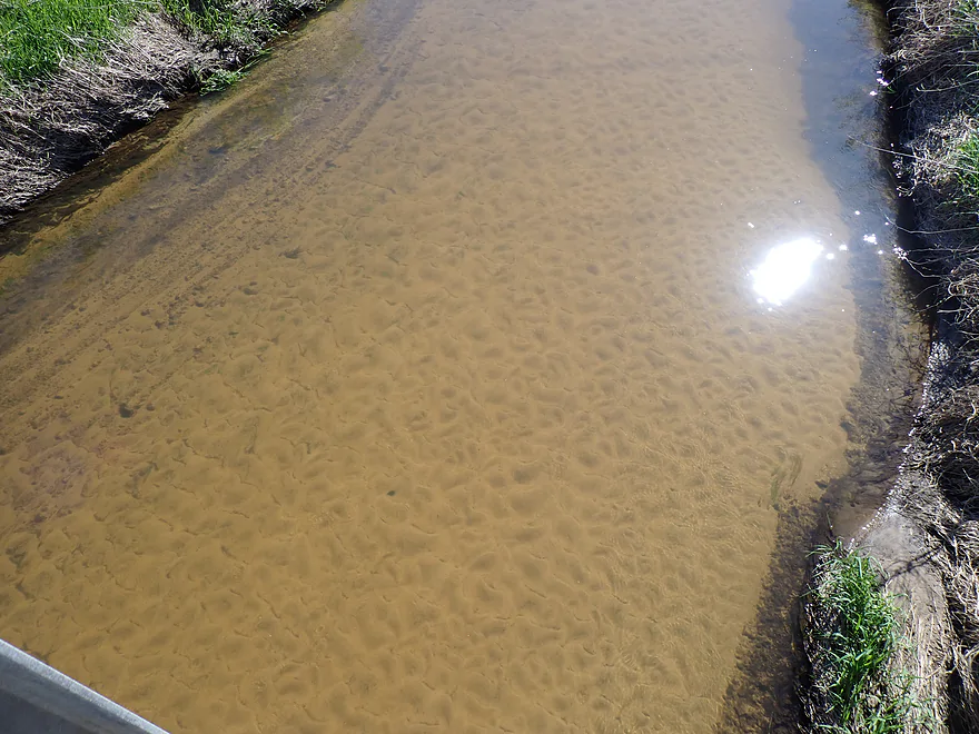
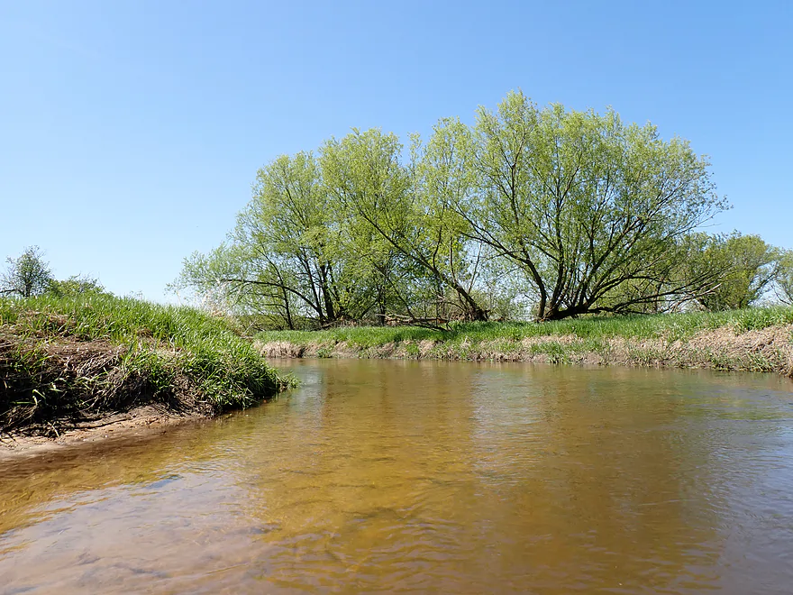
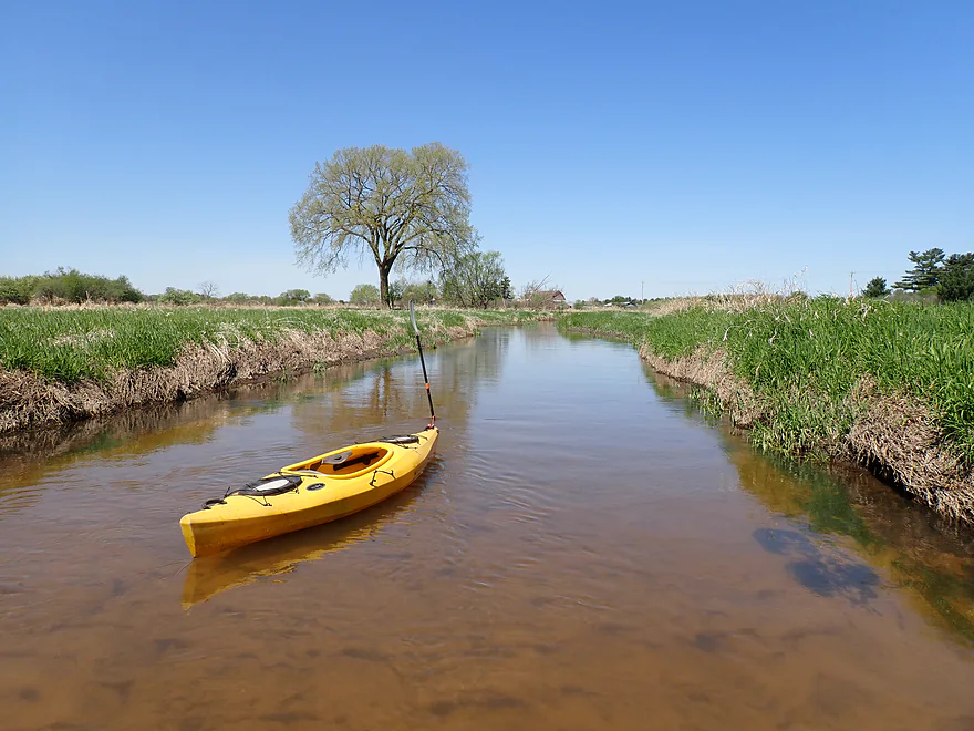
Great clarity–and a lot of sand
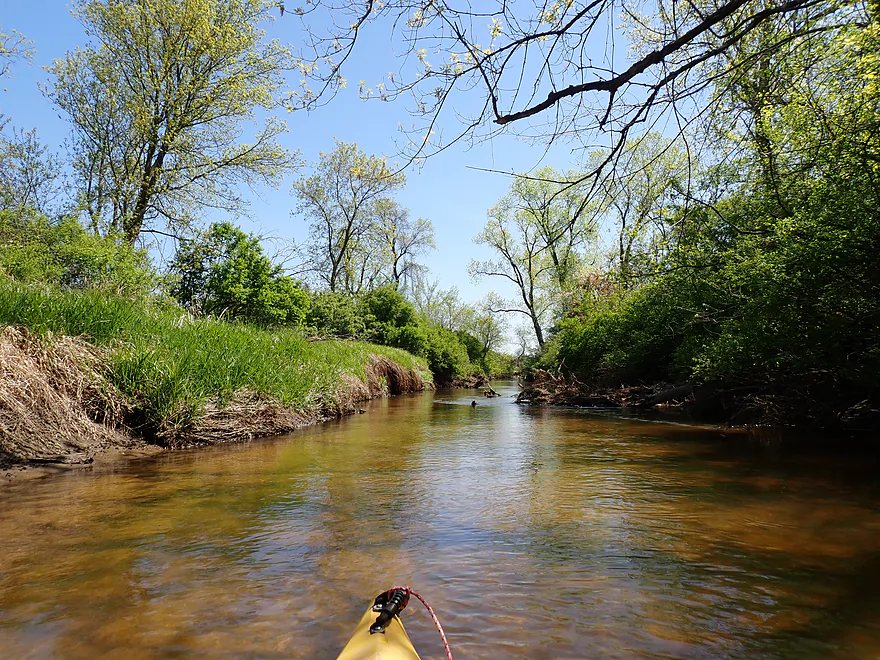
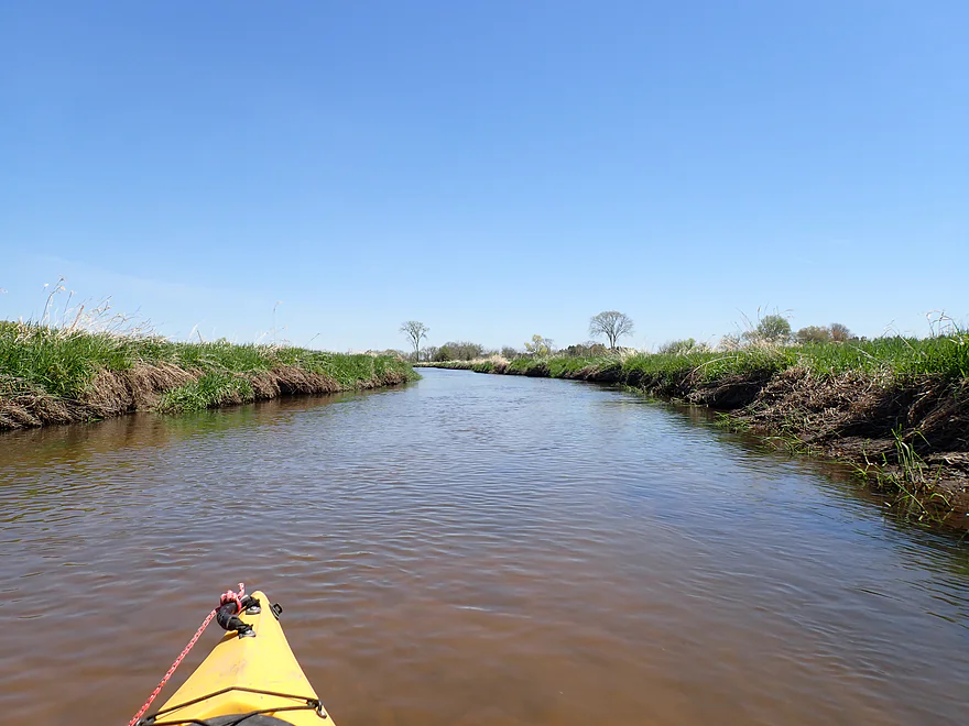
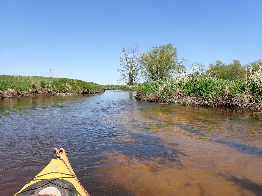
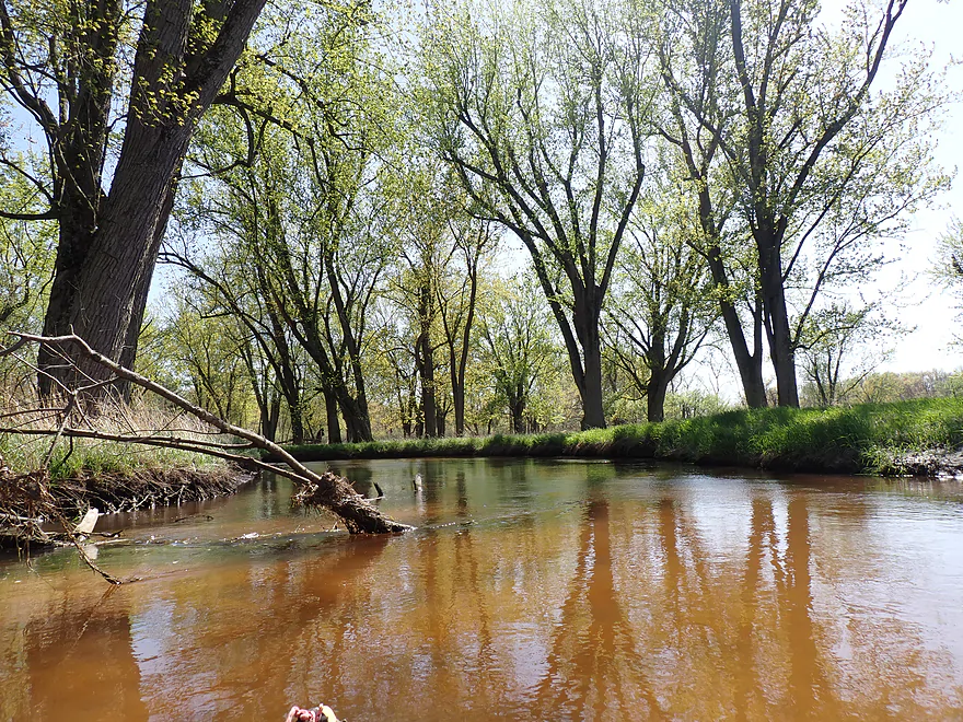
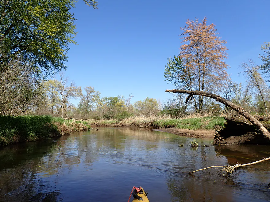
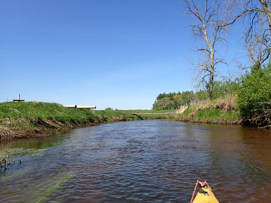
Attractive orange channel
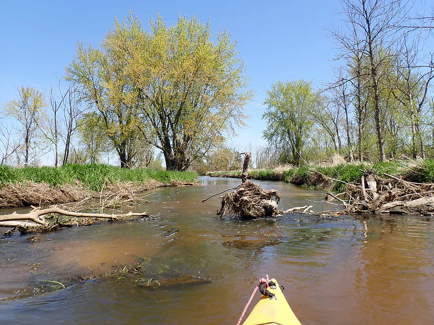
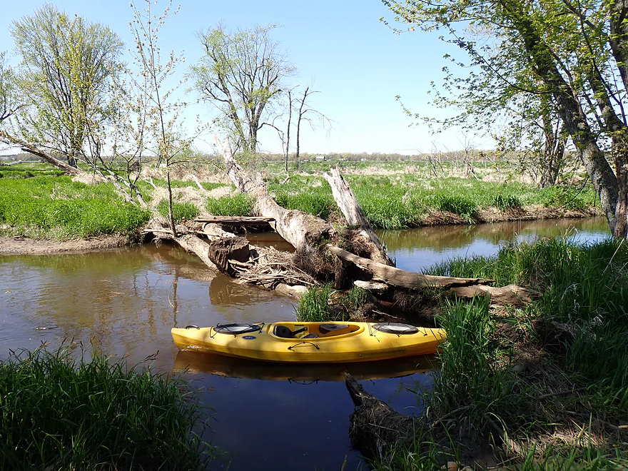
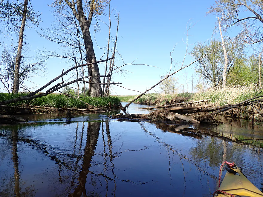
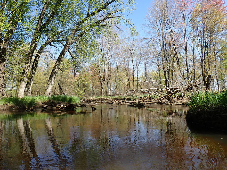
First logjam…not a bad portage
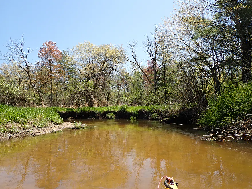
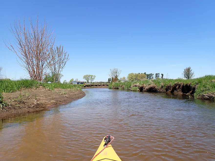
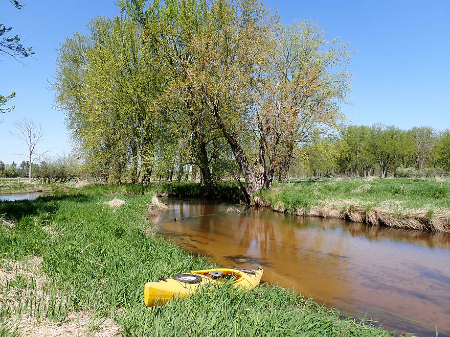
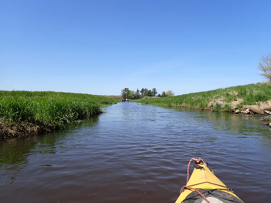
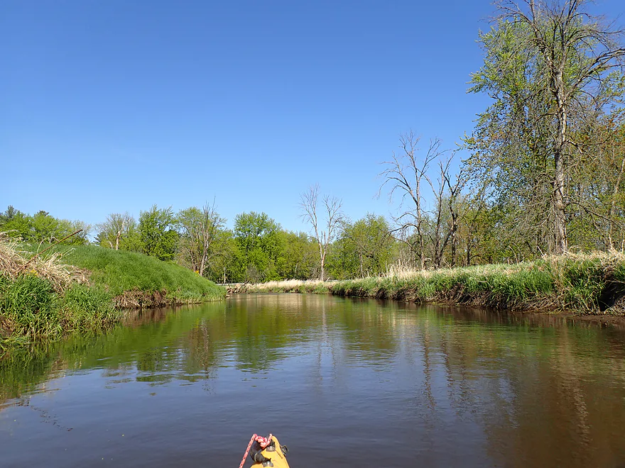
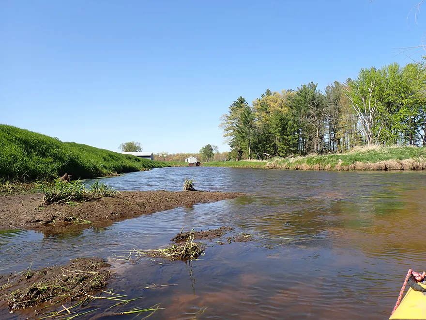
A straightened portion of the creek
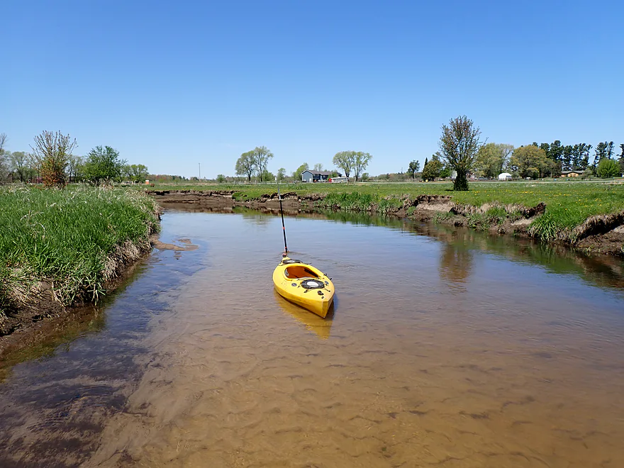
One of many small sandbars
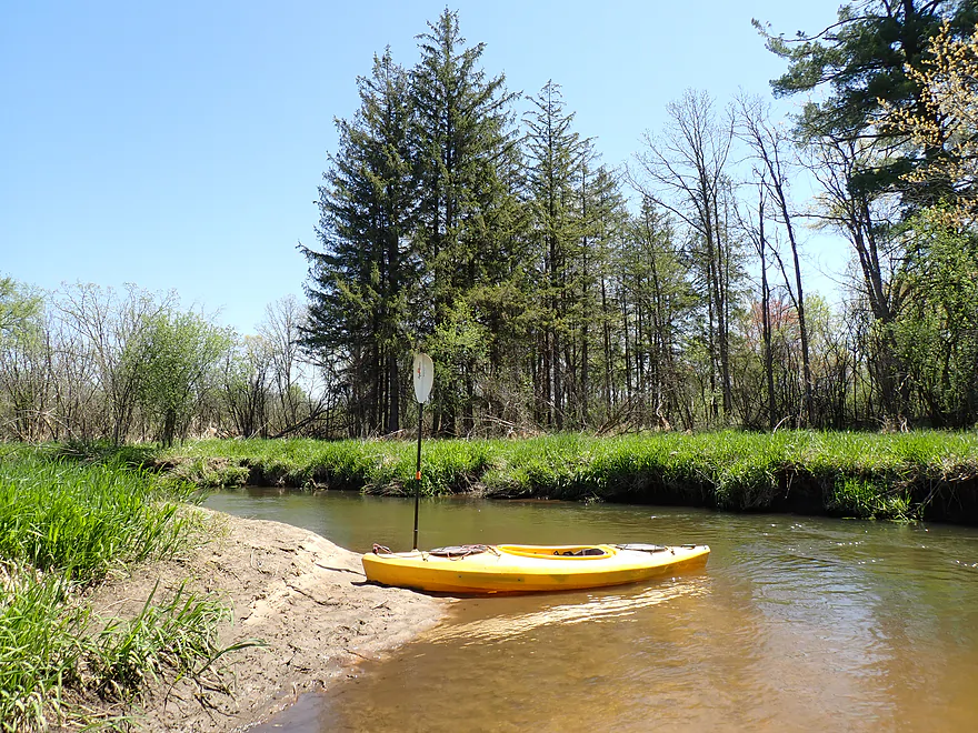
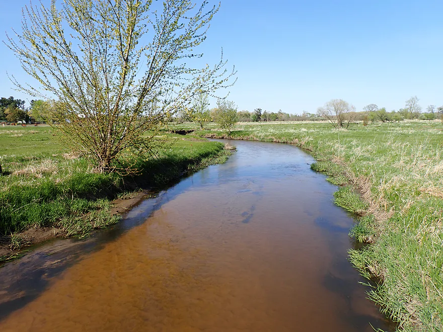
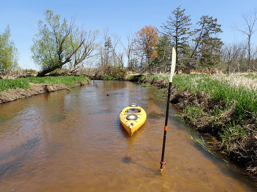
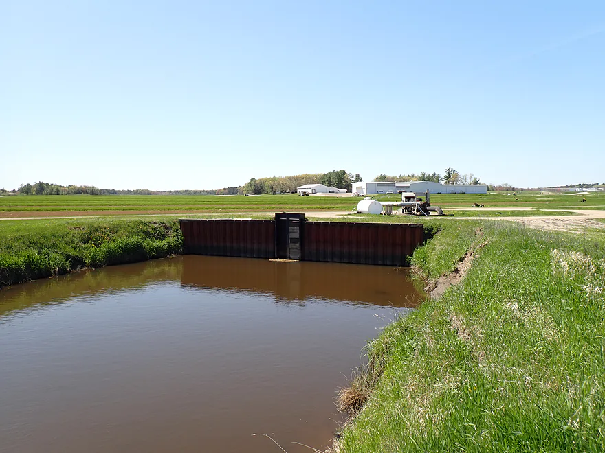
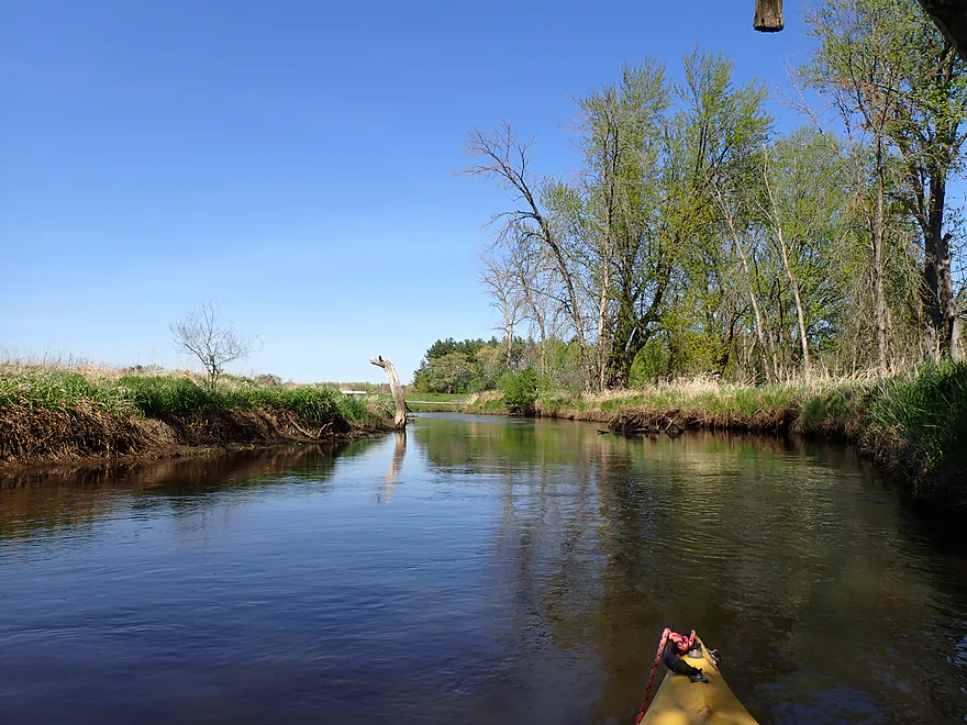
County Road ES
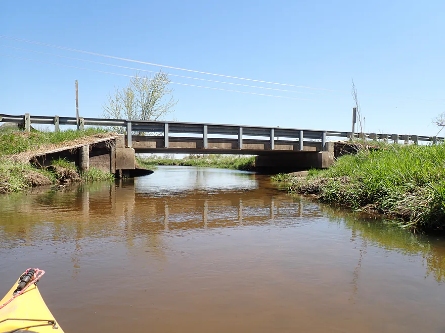
View from the bridge
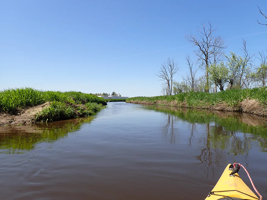
Entering an open horse pasture
Nice clarity
Some erosion
Logjam #2
Not a bad portage
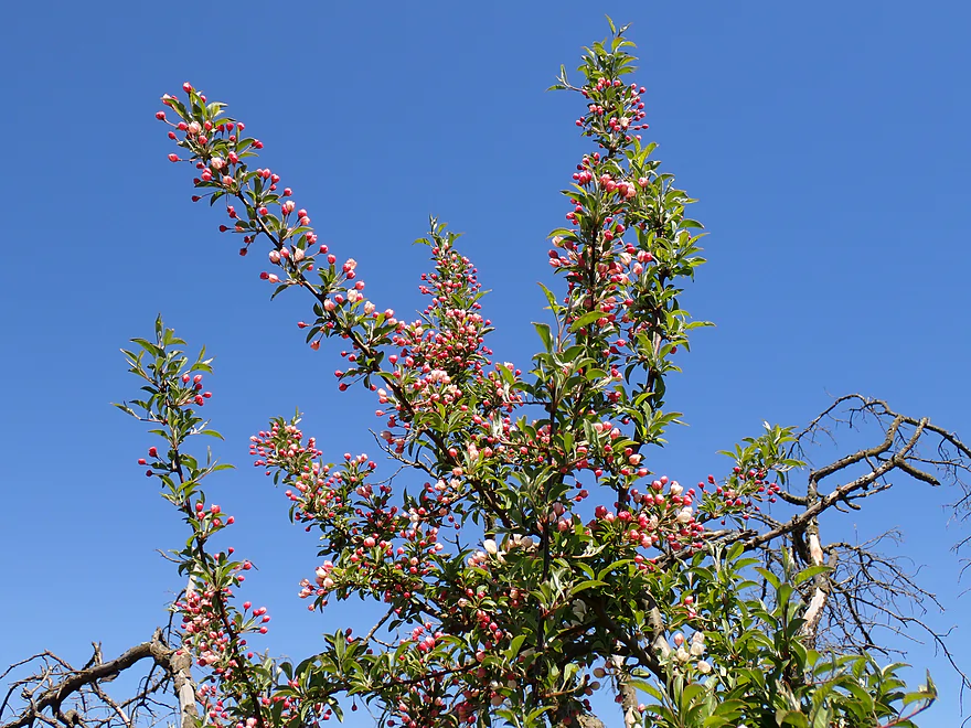
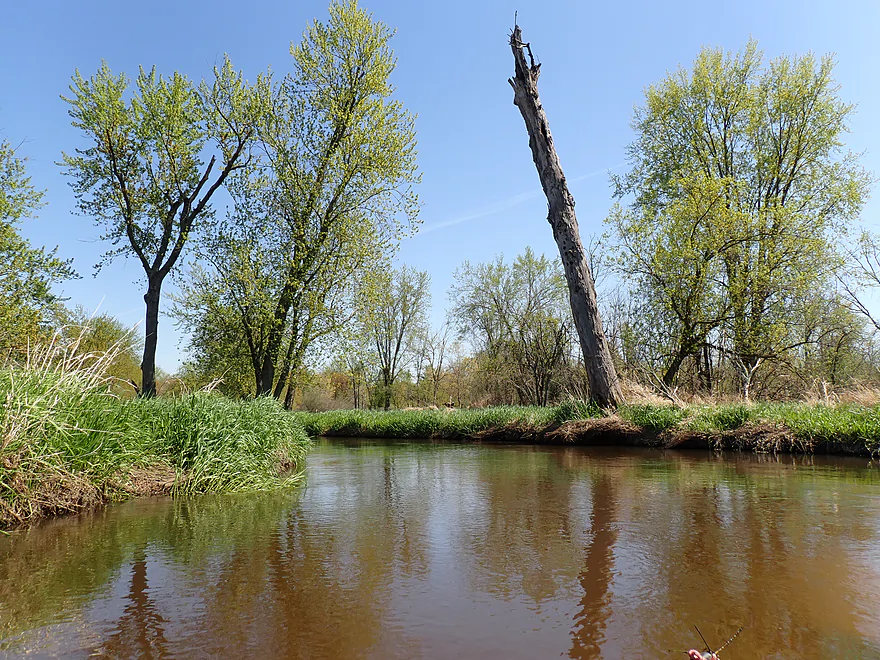
Wild apple blossoms
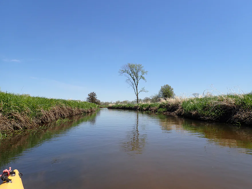
Very straight and channelized stretch
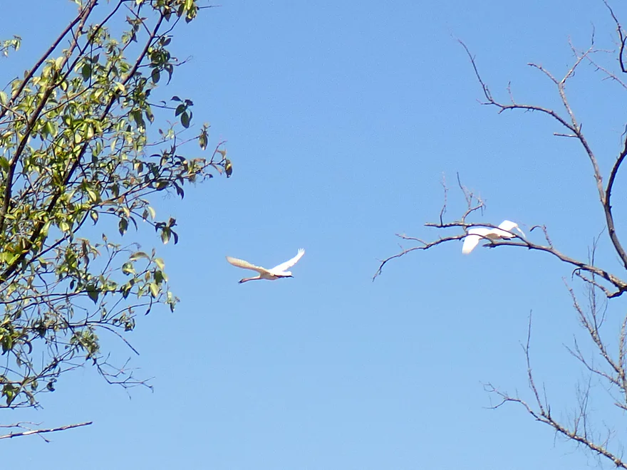
A pair of swans
A lot of different tree species on this trip
Logjam #3
Easy portage
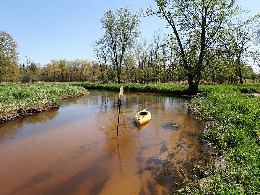
One of several large cranberry inlets into the Lemonweir
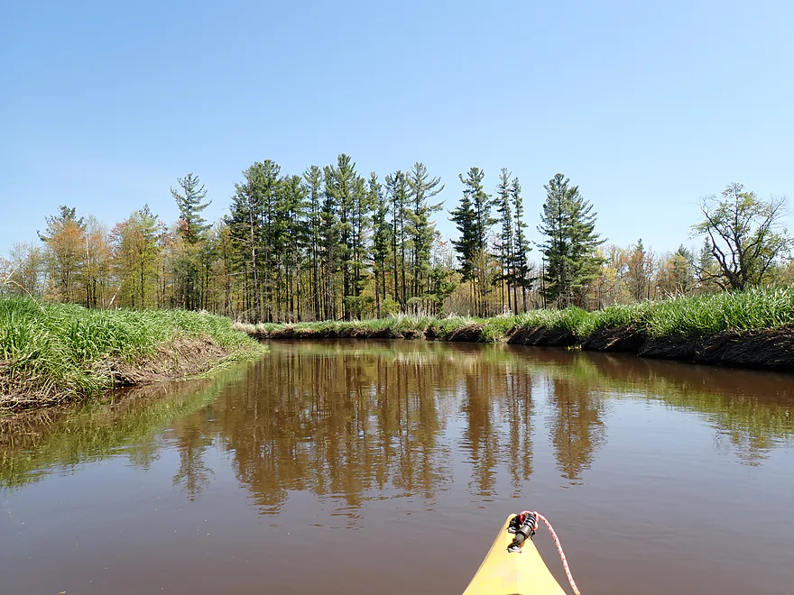
Nice stand of pines
Large outlet from a cranberry farm
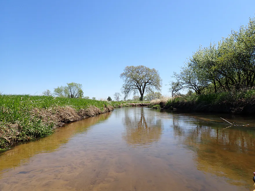
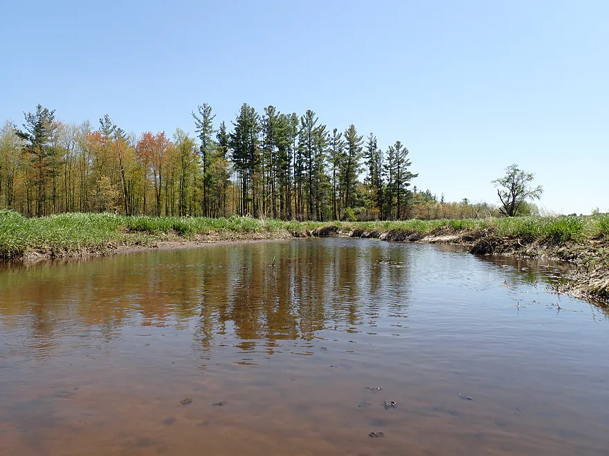
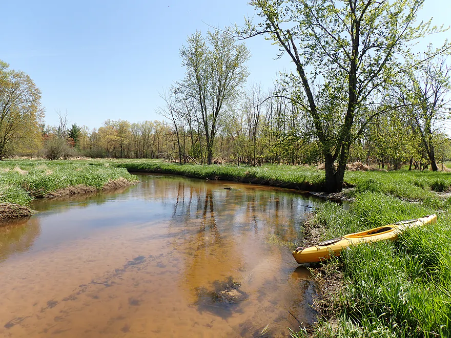
Looking upstream
View downstream
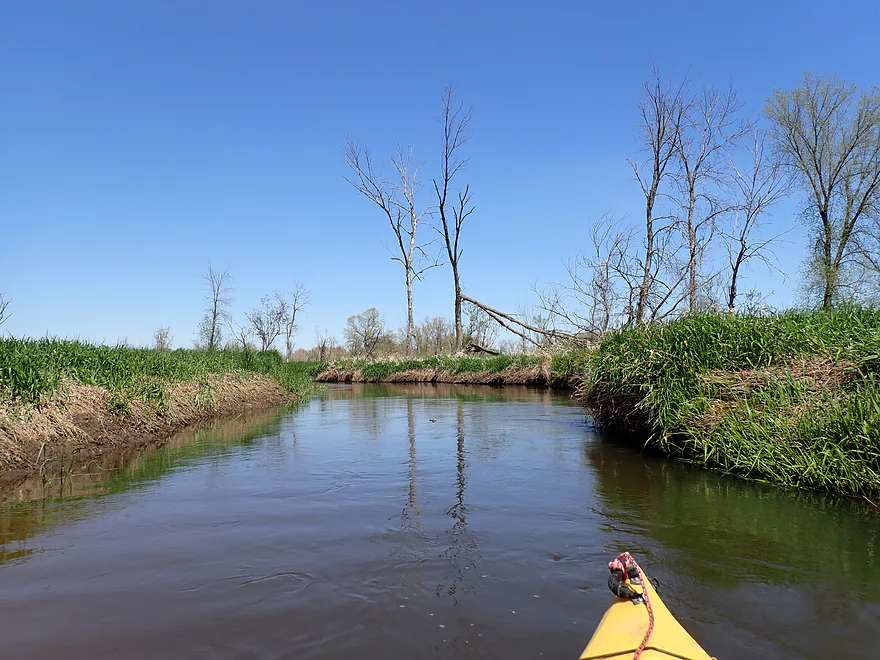
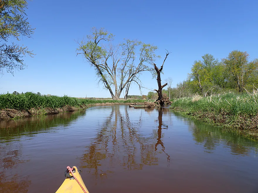
Lots of dead trees
Logjam #4
Not a bad portage
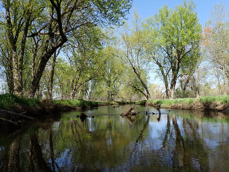
Scenic bend in the river
Another large cranberry inlet
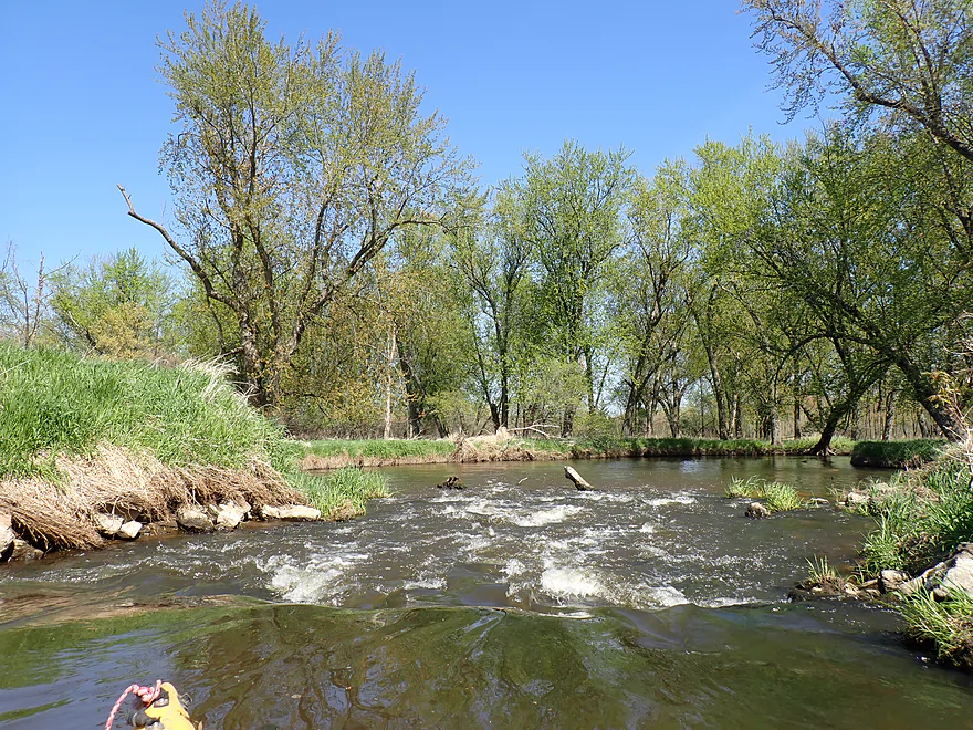
Some surprise rapids
Entering a woods
A sandy woods
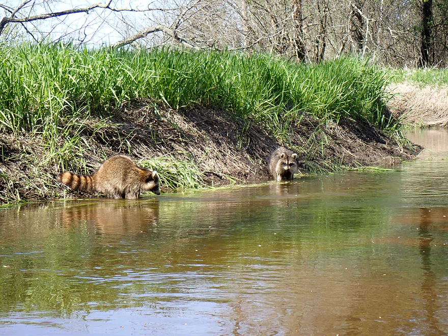
A pair of raccoons looking for snacks along the river
Another huge cranberry dike
Cranberry discharge pipes and a walk bridge
A large cranberry outlet
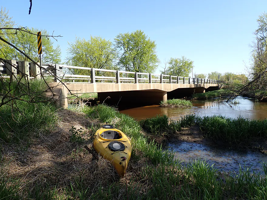
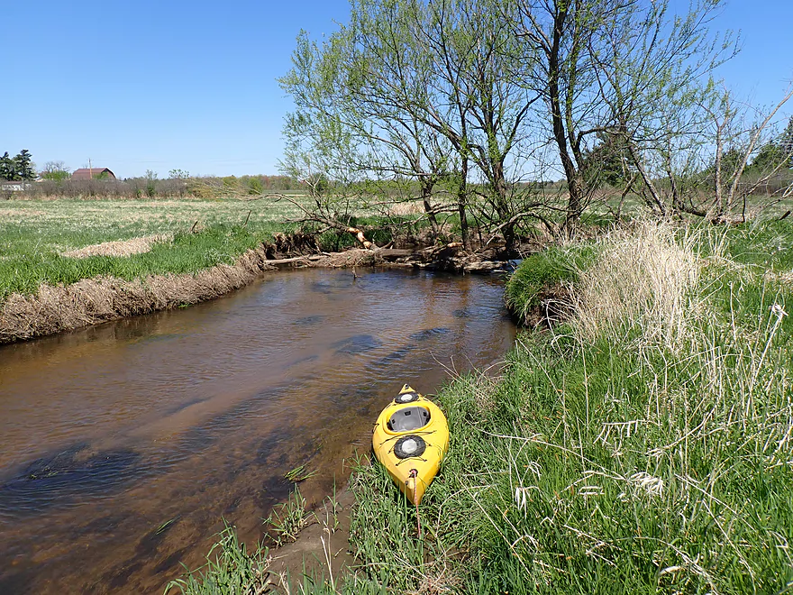
Getting out at Cty Road N
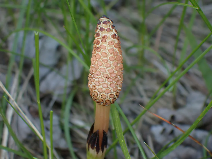
A young horsetail shoot

View downstream from the bridge
Lemonweir River – South Fork – Part 2


The Lemonweir is a lesser known river located between Wisconsin Dells and La Crosse. Kayakers will sometimes paddle the lower portions, but logjams scare most away from the upper stretches. Closer to Tomah the Lemonweir splits into a South Fork and East Fork. They’re both nice, but you have to choose your section carefully as deadfall is an issue in spots. I did the South Fork in 2020, which turned out to be a disappointing trip…just too many logjams and the weather was cold and overcast. Satellite images suggested the next section was much more open, so perhaps I just did the wrong stretch? I decided to return and give the South Fork one more chance.
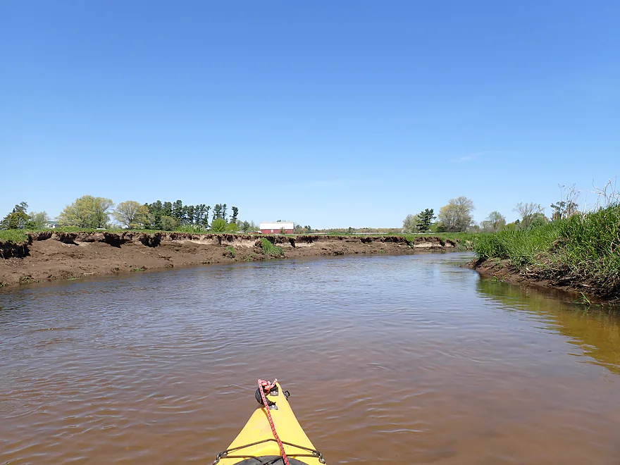
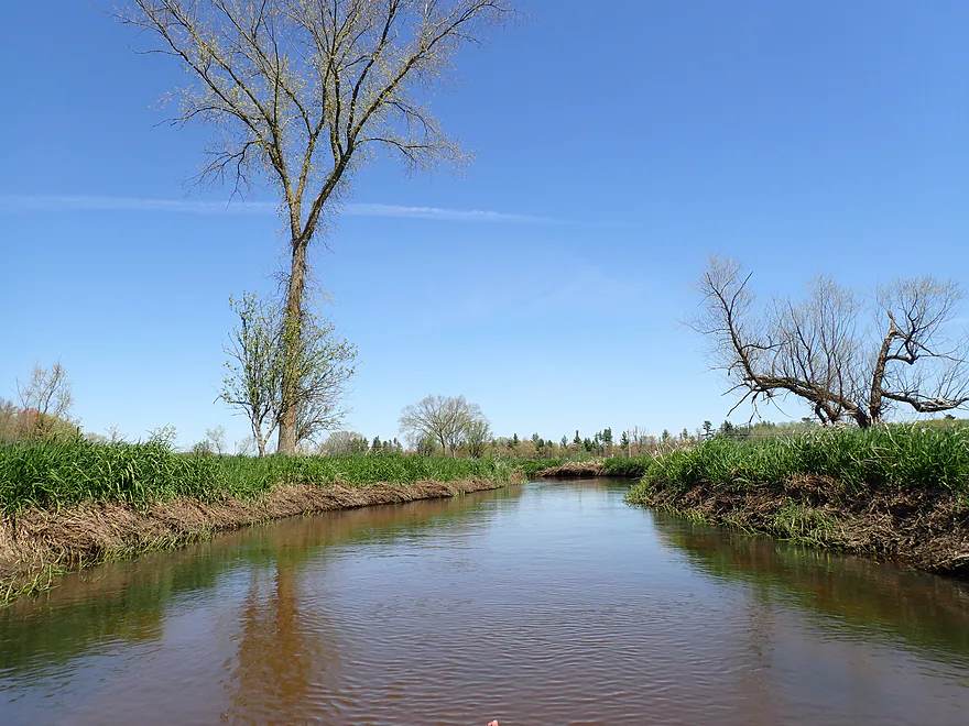
I ended my 2000 trip at Forbes Road, so it seemed fitting to start my 2025 trip here. It’s not a very private bridge and is next to a busy interstate, but as a bridge put-in it is plenty doable with a nice sandy area under the bridge for launching.
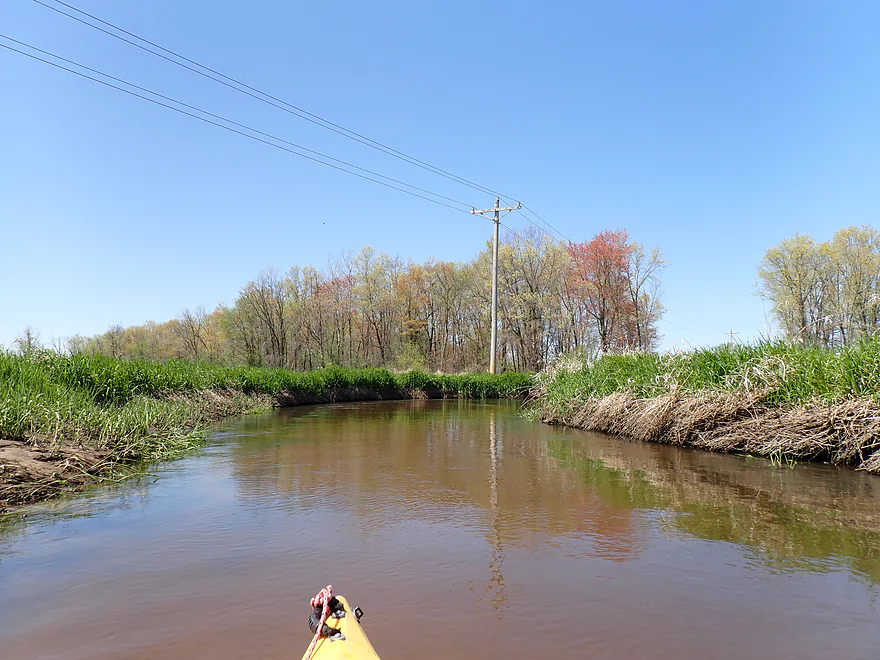
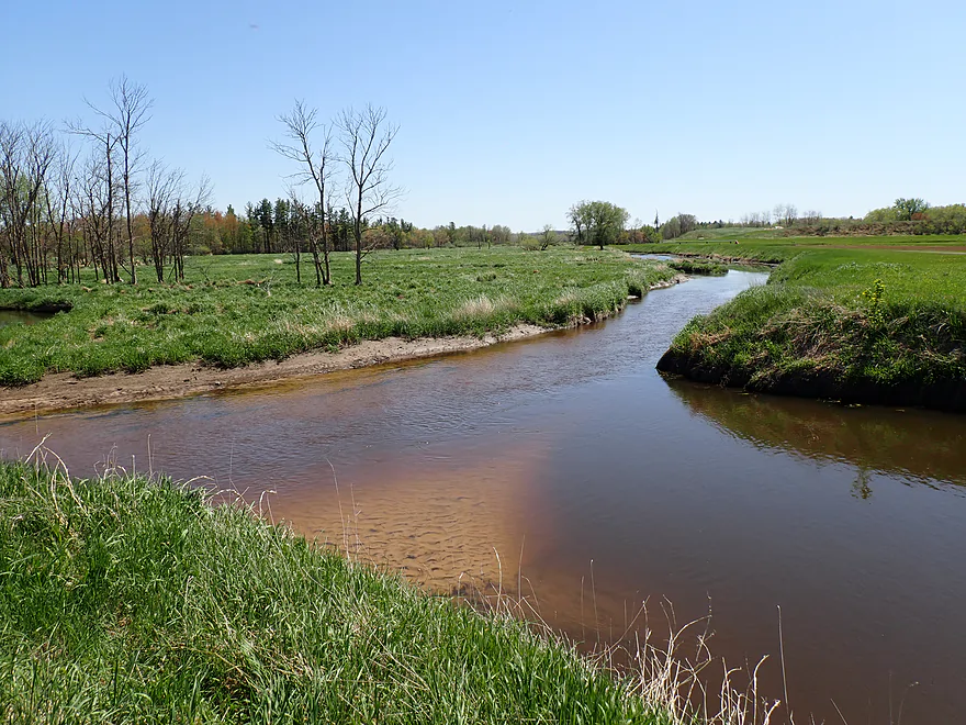
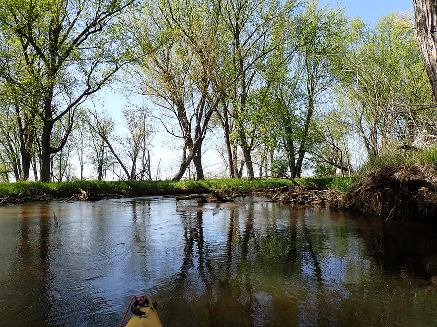
My initial impression of the river was very positive. The water was extremely clear, but with a slight red hue (a byproduct of tannins). The current moved at a nice clip and sand was everywhere (a gift from the last Ice Age). In many ways it reminded me of the Mecan River (located at almost the same latitude). The channel to start was suspiciously straight–early settlers likely straightened it for agriculture…in this case a good thing as logjams prefer twists and tight turns.
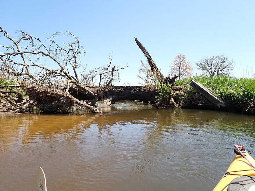
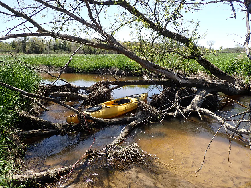
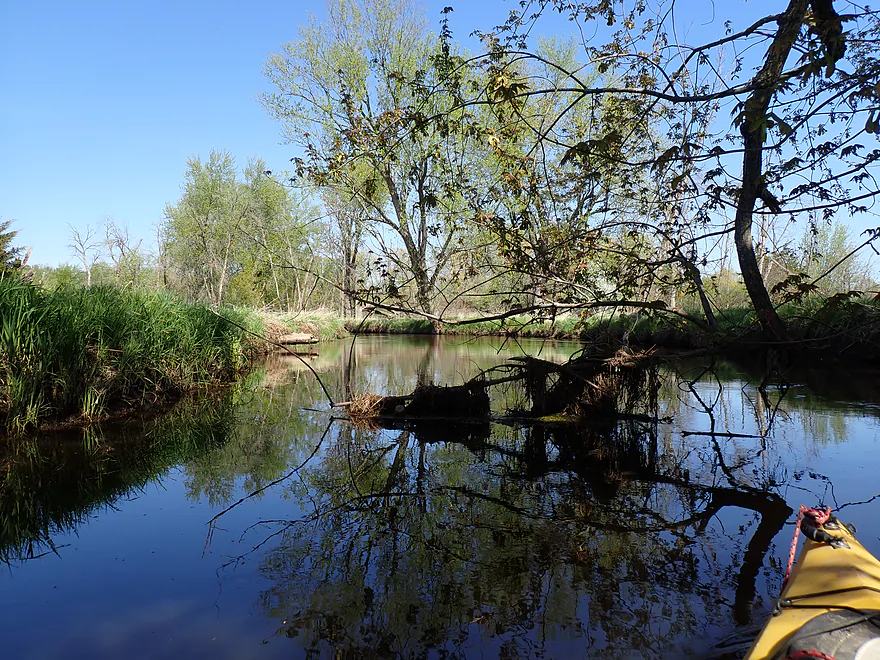
The river though did finally start to meander closer to the County Road ET bridge, and I did have to get out for a portage. But, I didn’t consider it difficult and in general the trip proved to be relatively open.
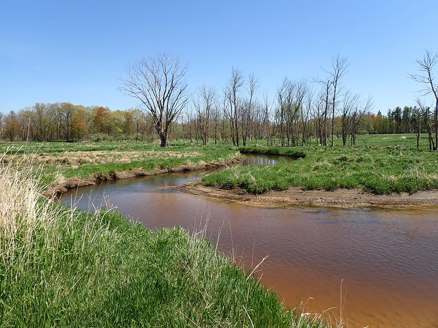
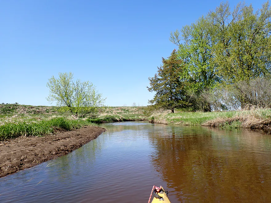
Following ET, the river flowed past a large horse pasture which had some nice pastoral vistas. This was eventually followed by the mouth of Kreyer Creek, which roughly marked the halfway point in the trip. It actually looked fairly navigable, and in theory you could launch from it via the South ET bridge.
In the distance to the northI could see massive “sand mountains” from the the local frac sand mine. Out of curiosity, I asked AI about the frac sand industry in Wisconsin, and was told it was in heavy decline with some mines recently closing. Many of the oil producers (mostly in Texas) now prefer more local sand which is cheaper to transport. Turns out sand wasn’t such a hot commodity after all and we’re now seeing a speculative bubble in the process of popping. In the big picture this is likely a good thing as frac sand mining is fairly destructive to the environment.
As I continued north I soon entered “cranberry country” and drainage ditches started joining the river. The main cranberry bogs were slightly elevated and flanked by massive dikes. From the water,it’s hard to grasp the scale of these farms but they are massive…the one to the north was likely four square miles in area. Nearby is a large Ocean Spray bottling plant…your cranberry juice might have come from this very spot. In the fall the fields are flooded for harvest and the waste water is discharged into the Lemonweir. This is concerning, as most cranberry farmers use a lot of nasty pesticides. On a somewhat coincidental note, I didn’t see much life in the river itself…just one dead fish and some clam shells.
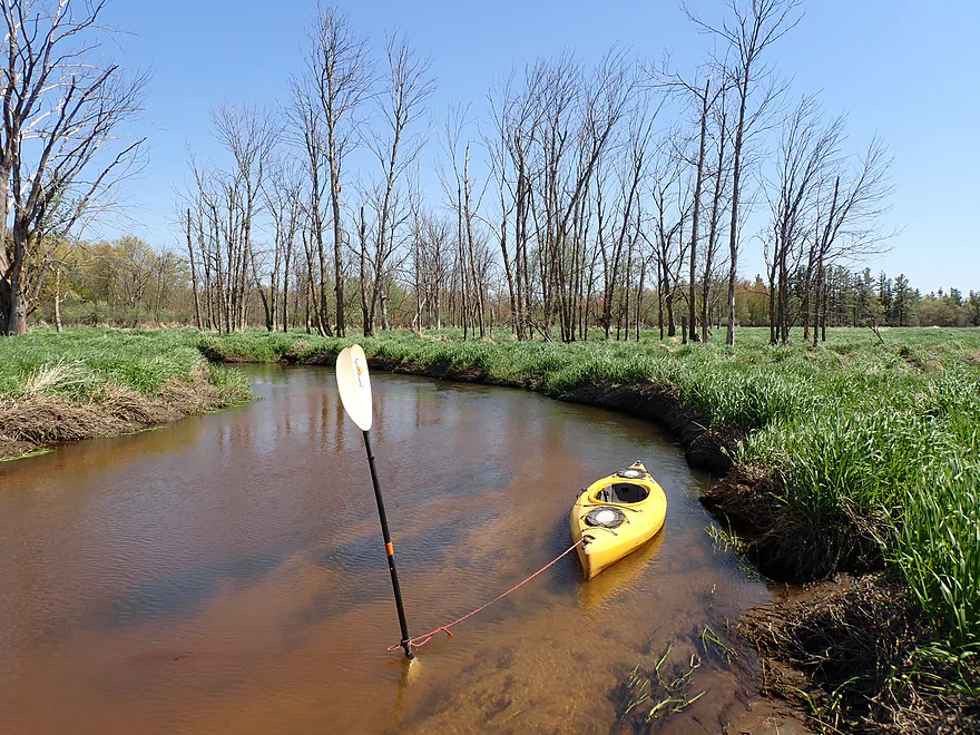
Aside from the cranberry farms, the river was largely undeveloped…just a lot of open grassland with a few trees. The terrain changed somewhat following some surprise Class 1 rapids (created by a cranberry farmer) as I entered a woods. This had me a bit nervous…typically, trees + Lemonweir = logjams. But in this case I only had to portage once and the “sand forest” proved surprisingly scenic.
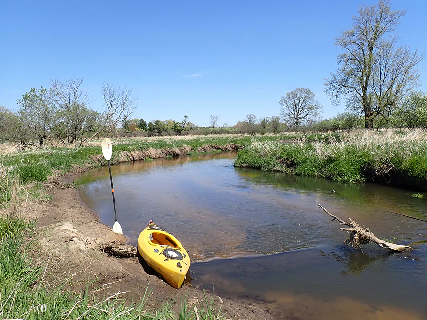
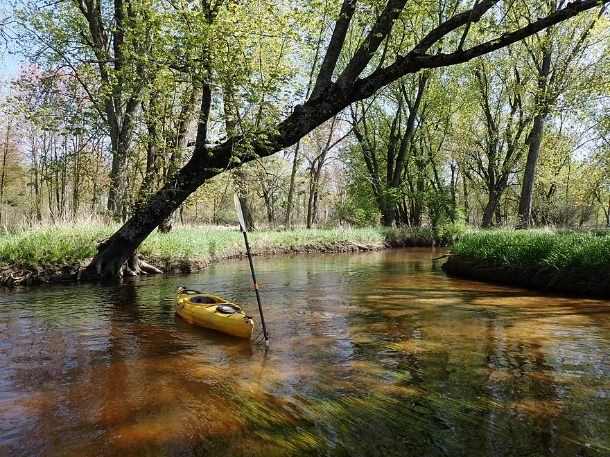
I ended the day at Hwy N, which was a manageable bridge access. Despite four logjam portages, the trip turned out surprisingly well and I would have to rank it as one of my favorite Lemonweir trips. The highlights were, again, the amazing clarity and the nice sandy bottom. If this river was located next to a larger population center, I could see it being a more popular water trail…but, as is, I suspect few will paddle it.
Sights included muskrats, geese, cranes, two swans, one dead fish (no live ones), a clam shell, dragonflies, a red-tailed hawk, blackbirds, horses, and a heron who watched me go down the rapids. The highlight were two raccoons . One didn’t mind me and was content to drink muddy water, while the second was obsessed with hissing at the first raccoon.
Forbes Road: The bridge had a steep bank and the area has a lot of traffic. But all in all, a pretty doable and easy bridge access. Best access will be along the northeast side, where you can drag your boat down a small hill and then launch in a sandy area directly under the bridge.
Alternate Put-ins:
- Tomah Dog Park (2.5 miles upstream from Forbes): There are a number of logjams on this stretch and it is not recommended for kayaking.
- County Road ET (1.6 miles downstream from Forbes): ET is a better bridge access than Forbes (less traffic, smaller bank), but I thought the leg between Forbes and ET was pleasant and worth doing.
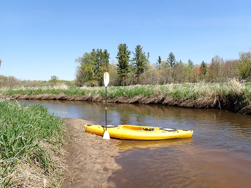
County Road N: Best access is northwest of the bridge. It’s a bit muddy and weedy…but otherwise, IMO, was not a bad spot to get out.
Alternate Take-outs: None really. From Cty Road N to the South/East Fork Confluence I can see many significant logjams from satellite images.
Bike Shuttle – Cty Road N to Forbes Road: 4.8 miles with 18′ of ascent. A very easy bike shuttle…flat, little traffic, and paved. FYI, in 2025 they are ripping up a short section of ET (Google says you can’t drive or bike through here, but you can).
Fences: None
Rapids: The current moves at a good pace, but isn’t too fast or pushy. There is one set of Class 1 rapids near the end of the trip created by a cranberry farmer…but it’s not very difficult to get down (3:30 in the video).
Logjams: Generally speaking this was a fairly open trip. But there were four logjams that had to be portaged plus a “hop over”. I didn’t consider any of the portages super difficult as typically the shoreline was sandy and not too steep…but in summer thick weeds might make these portages more challenging. Each logjam is marked on the trip map.
River Gauge: Lemonweir River @ New Lisbon
River Trip Depth: 680 CFS or 5.9′
River Navigability Estimates: These are just rough guesses.
- < 400 CFS: A relatively shallow depth, but I think this stretch should be navigable.
- 401-800 CFS: Average depth with good clarity.
- 801-1200 CFS: Above average depth…should still be fine for paddling, but clarity won’t be as good.
- 1201-2000 CFS: A very high depth…I think you could still float it.
- 2001+ CFS: The banks might overflow at this point. I think experienced paddlers could still float this stretch though.
Detailed Overview
Lemonweir River - Main Branch:
- East/South Fork Confluence to Cty PP: 1.0 miles. Likely around 3 logjams.
- Cty PP to Funnel Road: 2.0 miles. Very straight channel with roughly 6 logjams.
- Funnel Road to 2nd Ave: 1.2 miles. Highly channelized and straight with about 3 logjams.
- 2nd Ave to Cty H: 1.8 miles. Roughly 4 logjams. The channel can be poorly defined at times.
- Cty H to River Road: 2.3 miles. Expect 4-6 logjams and confusing side channels where navigation is a challenge.
- River Road to 6th Ave: 5.4 miles. Likely navigable, but expect a high volume of logjams.
- 6th Ave to 37th Street Landing: 4.4 miles. Occasionally paddled but contains several logjams.
- 37th Street Landing to New Lisbon: 6.6 miles. A long, slow stretch that feels more like a lake than a river. While somewhat monotonous, the rock outcroppings, white pines, and fall colors provide some redeeming beauty.
- New Lisbon Dam to Hwy 12/16 Shoulder: 7.9 miles. A promising prospect featuring a “Little Dells” rock outcrop, though hampered by about 6 logjams. The Hwy 12/16 shoulder is a speculative but potentially an access point.
- Hwy 12/16 Shoulder to Riverside Park in Mauston: 4.6 miles. Mostly slow, open paddling through river flowages.
- Mauston Dam to 19th Ave: 4.5 miles. One of the premier stretches on the river.
- 19th Ave to Cty HH: 13.1 miles. Less engaging with a noticeably slower current.
- Cty HH to the Mouth: 3.3 miles. An excellent section with beautiful rock outcrops that serve as a prelude to the Wisconsin Dells.
Lemonweir River - East Fork:
- Cty EW to Buckley Ave: 3.4 miles. Begins in cranberry bogs before transitioning into a sedge-lined creek and concluding with a spectacular corridor of towering white pines. Expect roughly five logjams, mostly near the end.
- Buckley Ave to Hwy 173: 4.7 miles. One of the most scenic and diverse stretches of the Lemonweir, featuring marshes, a lake, cranberry bogs, sandbars, and towering pines. A handful of easy-to-portage logjams are located near the end.
- Hwy 173 to Cooper Road/Dam:
- Hwy 173 to Dove Ave: 0.9 miles. A lovely, open leg with clear red water and numerous small sandbars. Includes one minor, easy portage.
- Dove Ave to Cooper Road: 2.4 miles. A mediocre stretch flanked by frac sand mines and cranberry bogs; much of the channel is ditched and straightened. The half mile below Dove Ave contains several logjams, some requiring difficult portages.
- Cooper Road to Backwater Bar Dam: 0.2 miles. A short but scenic flowage set against attractive pines. The dam is not a practical take-out due to trespassing restrictions and proximity to the spillway.
- Backwater Bar and Grill to Hwy 21: 0.5 miles. Likely congested with near-constant logjams.
- Hwy 21 to East/South Fork Confluence: 0.3 miles. Expect 2-3 logjams.
Lemonweir River - South Fork:
- Butts Park/Lake Tomah to Forbes Road: 4.5 miles.
- Butts Park to Lake Tomah Dam: 0.2 miles. A quick paddle across Lake Tomah to reach the spillway.
- Lake Tomah Dam to Memorial Park: 1.2 miles. A narrow, sandy stretch with a high number of downed trees.
- Memorial Park to Tomah Dog Park: 0.6 miles. Mostly pleasant and open, though one large logjam requires a very difficult portage.
- Tomah Dog Park to Forbes Road: 2.5 miles. The first half is heavily obstructed; the second half is more open but still requires two logjam portages.
- Forbes Road to County N: 6.9 miles.
- Forbes Road to Cty ET: 1.6 miles. A high-quality stretch with good clarity, a sandy bottom, and one manageable logjam portage.
- Cty ET to Cty N: 5.3 miles. Scenic and clear, passing through grasslands, frac sand mines, and a massive cranberry bog. Includes three logjam portages.
- County N to Excelsior Ave: 3.0 miles. Open through the golf course, but the wooded sections likely contain 6-8 logjams.
- Excelsior Ave to East/South Fork Confluence: 0.5 miles. Likely riddled with countless logjams.
Trip Map
Overview Map
Video
Photos Size: