Mecan River – Hwy 22
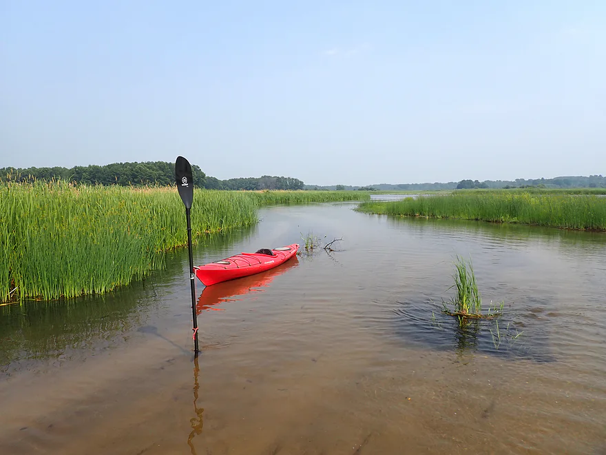


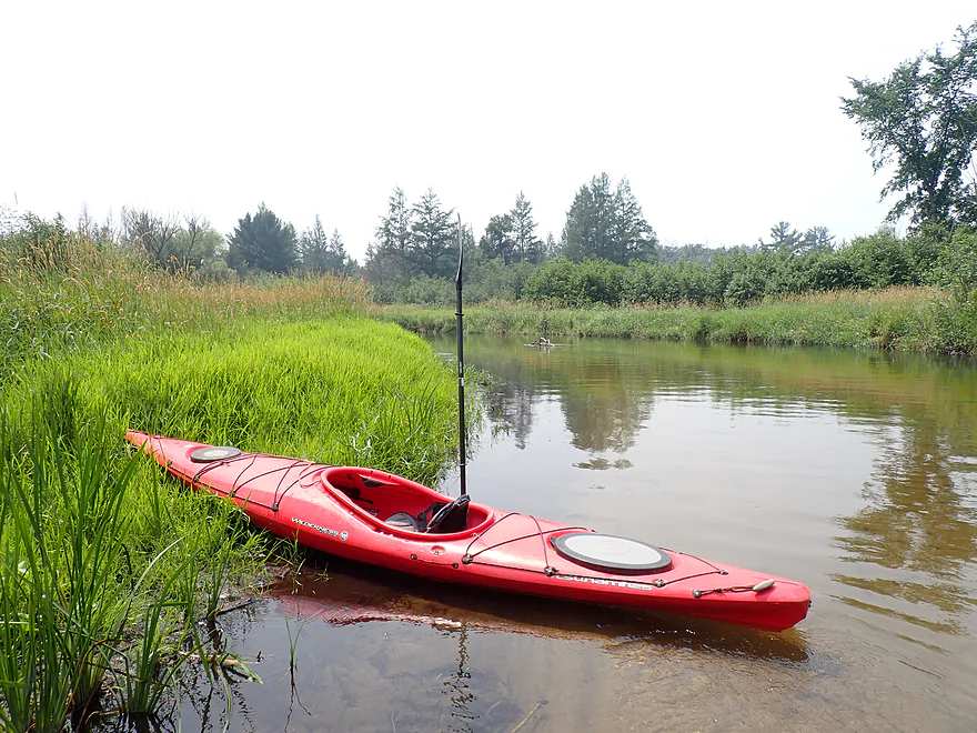
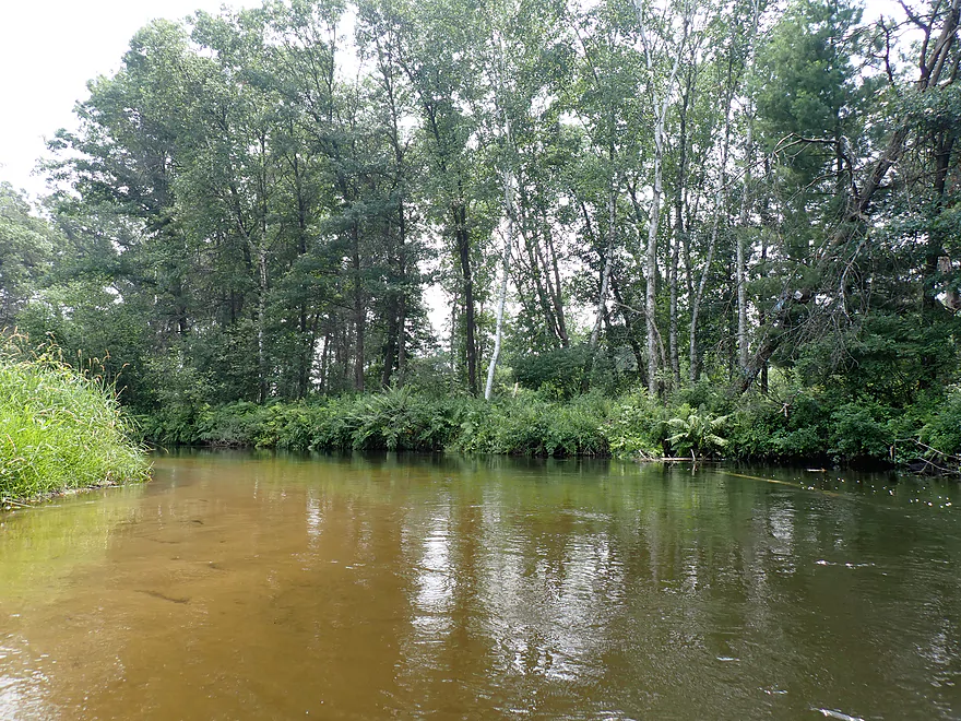
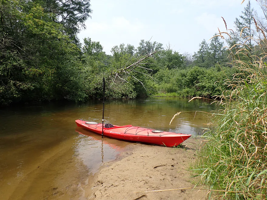
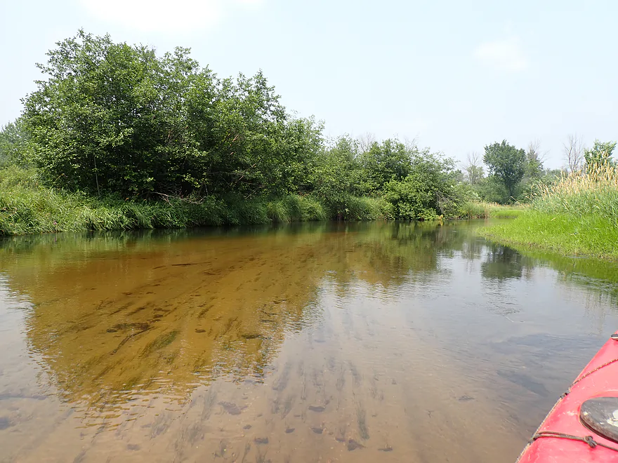
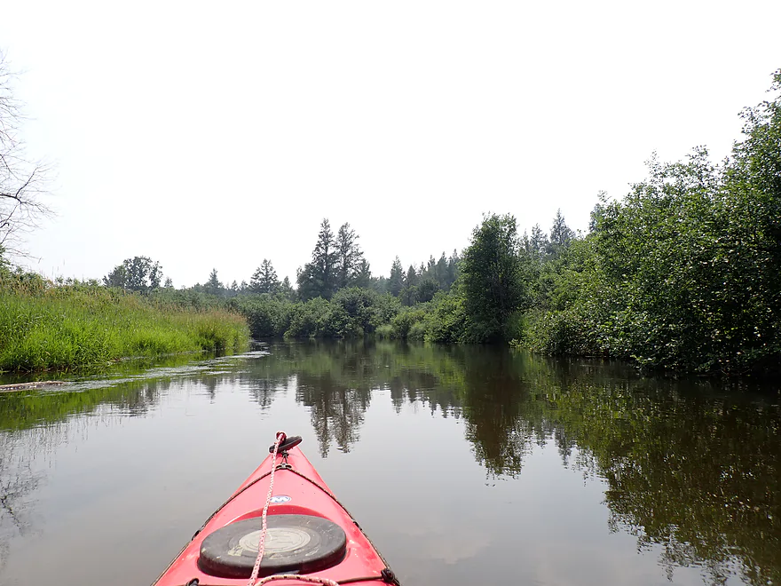
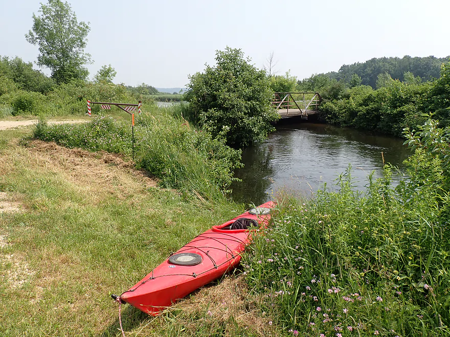
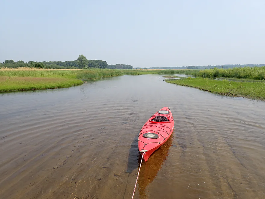
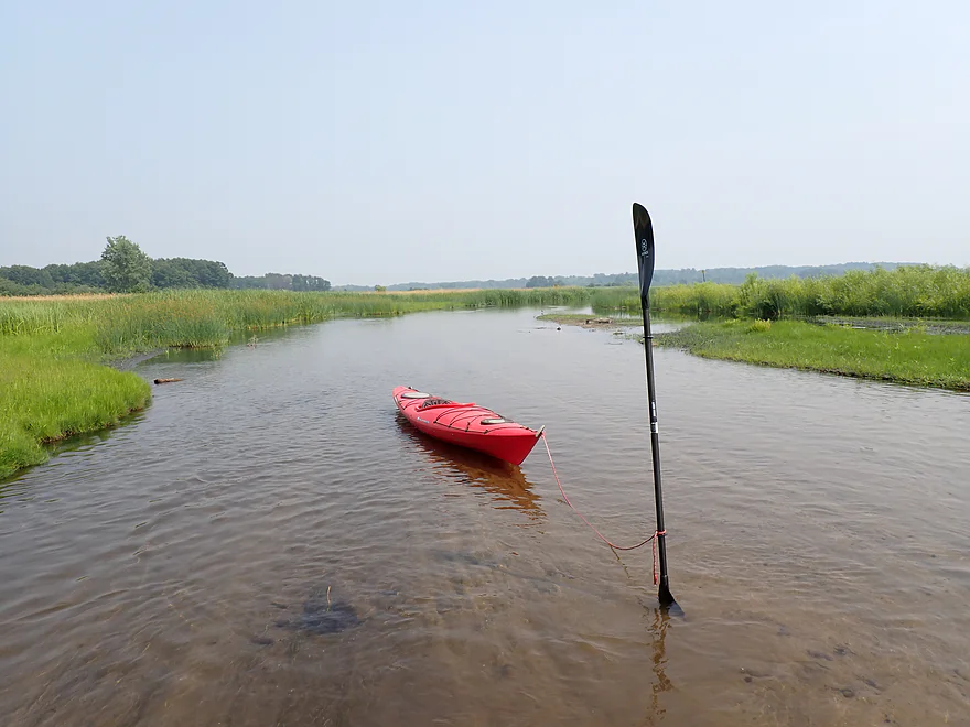
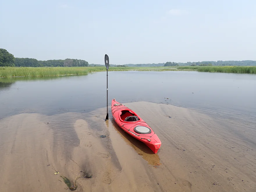
My trip began at Hwy 22, which had a nice access. The river to start featured enjoyable current, good clarity and a sandy bottom. It’s one of those trips that seems like it would be a good kayak/swim combo (there are even a few micro sandbars), but the sand was soft…too soft. When I stabbed my paddle in, it just kept going down…which suggests quicksand and a possible hazard for unwary waders.
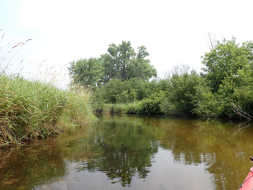
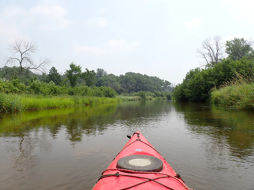
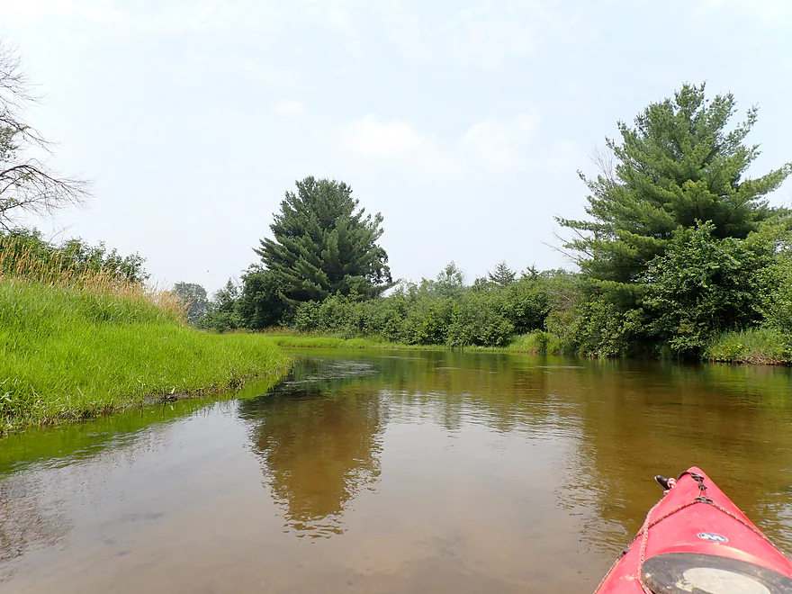
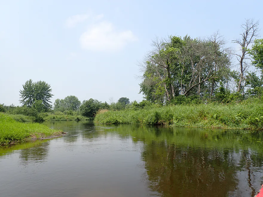
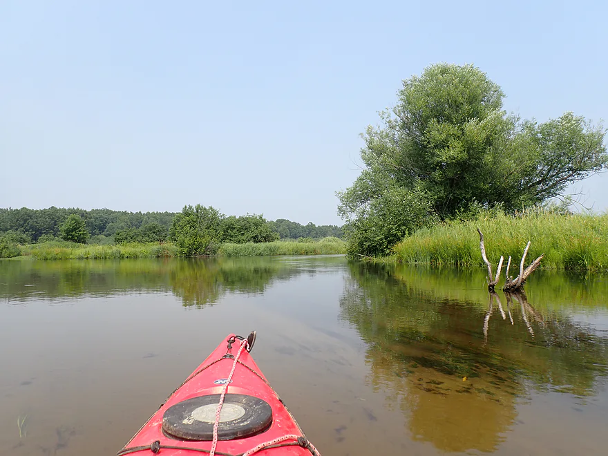
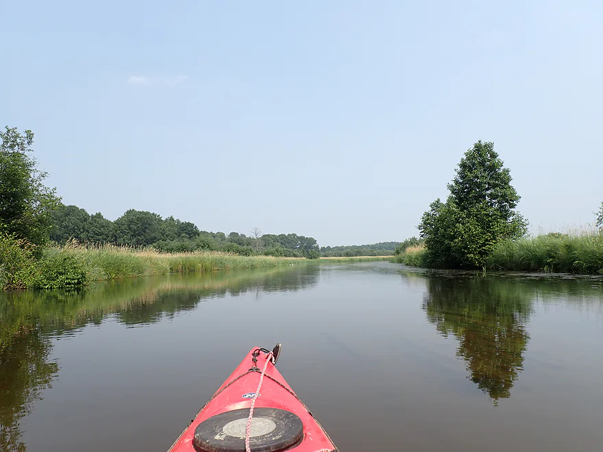
The banks were scrubby, weedy, wide, flat, and somewhat uninteresting…but not awful. In general the trip lacked the pine trees and other conifers that make the upper Mecan so magical. Another trip detraction (no fault of the river) was the thick Canadian wildfire smoke which created a haze in the air and had a nasty chemical stench.
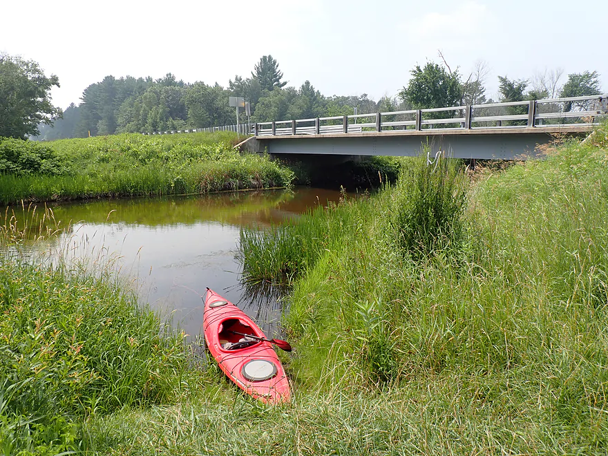
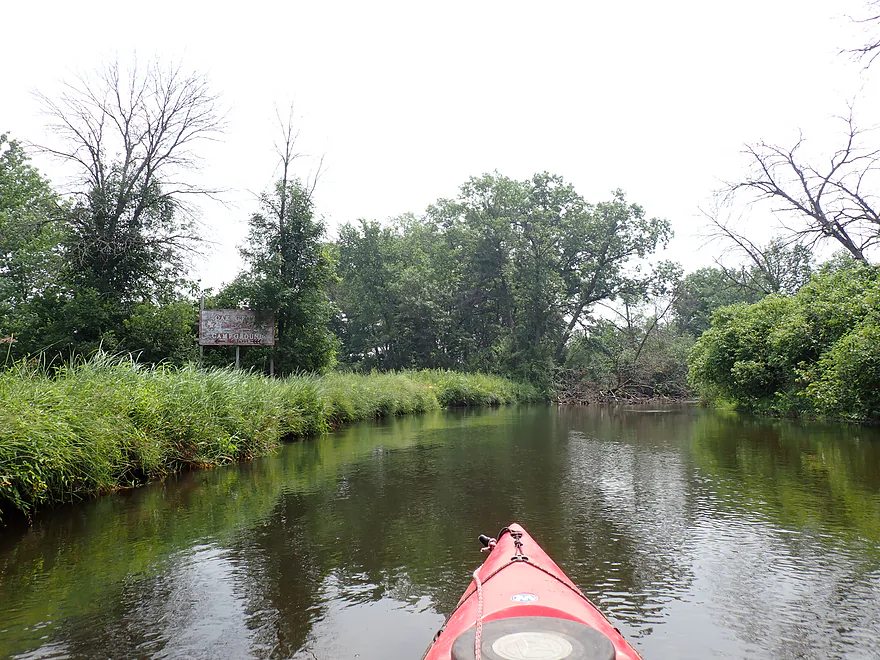
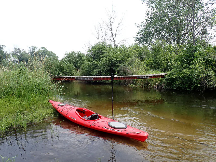
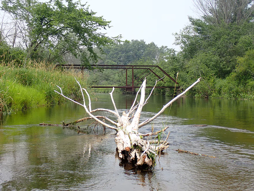
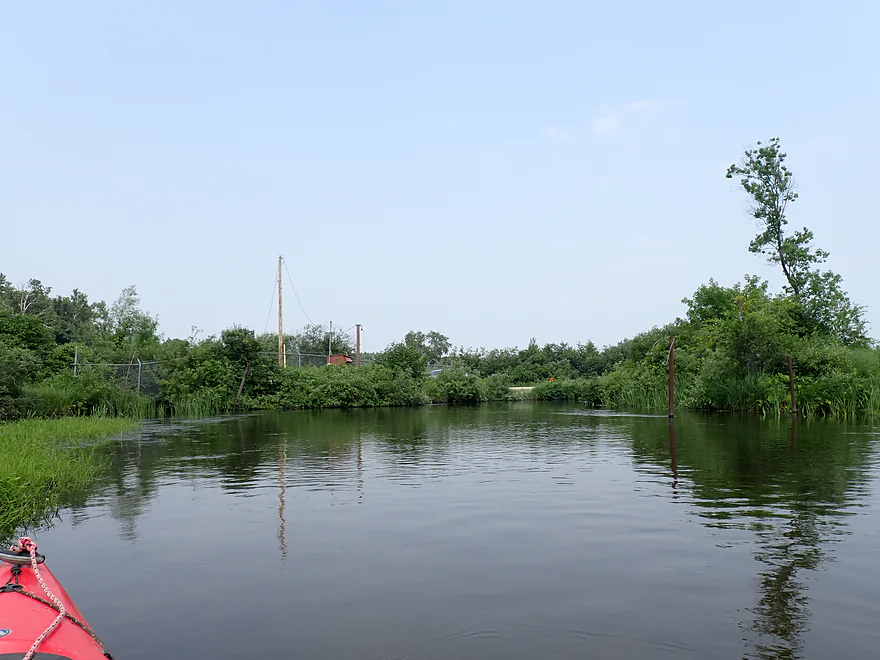
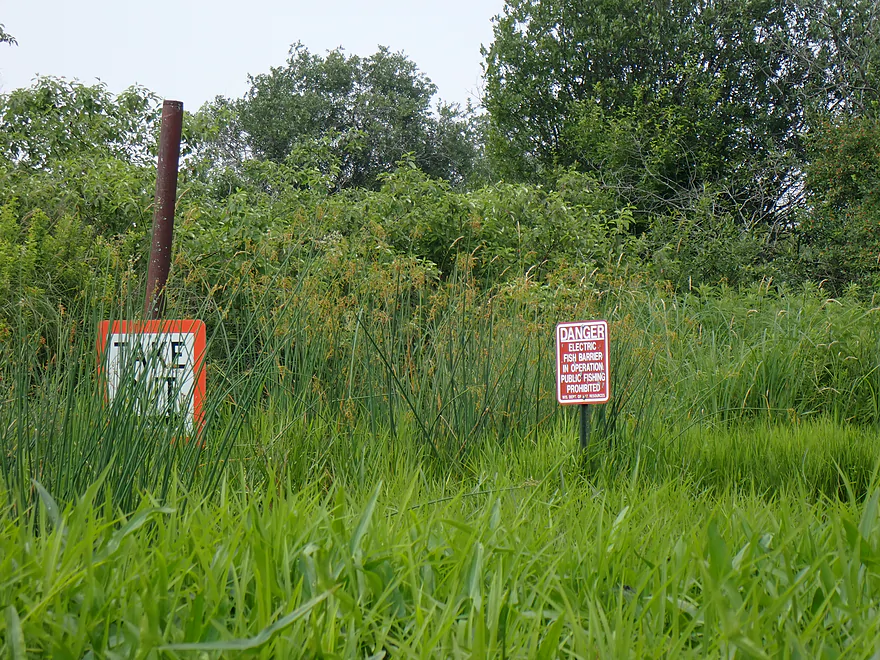
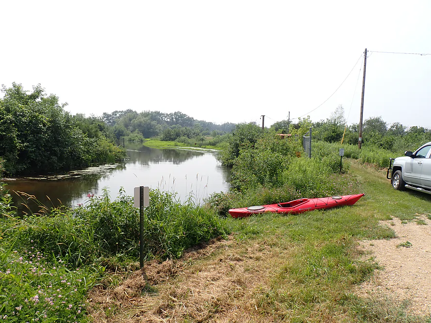
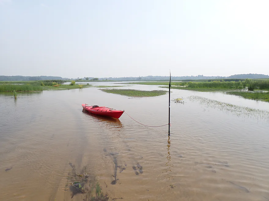
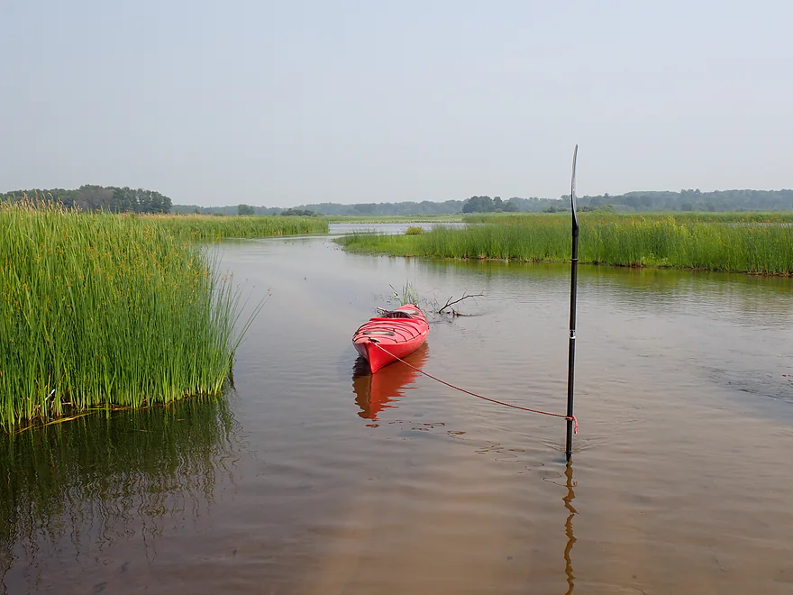
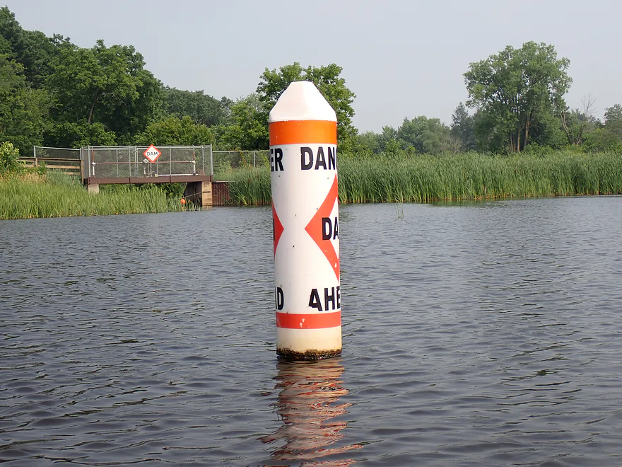
About four miles into the trip, I came to an electric fish barrier. It was kind of confusing as there isn’t a visible fence or wire in the water…just a vertical pole. A sign warns paddlers to take out, but the shore there was a bit overgrown. Before I realized it, I had floated over the barrier without incident. I’m not sure if it was off, or was never a serious threat to a paddler. A pair of kayakers behind me also passed over without a problem. The fish barrier was followed by a small bridge and access, which can be a take-out option for paddlers.
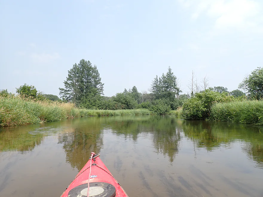
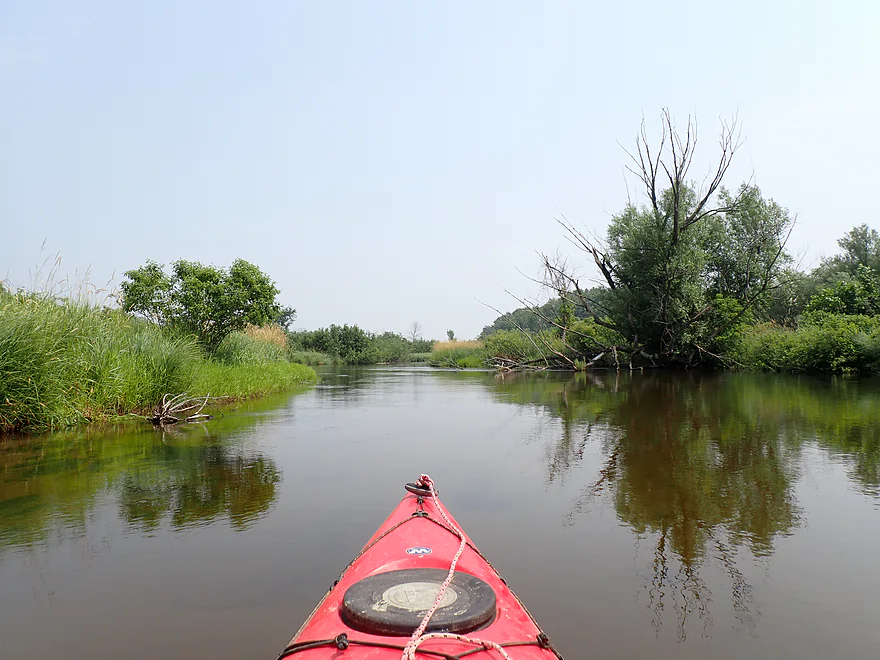
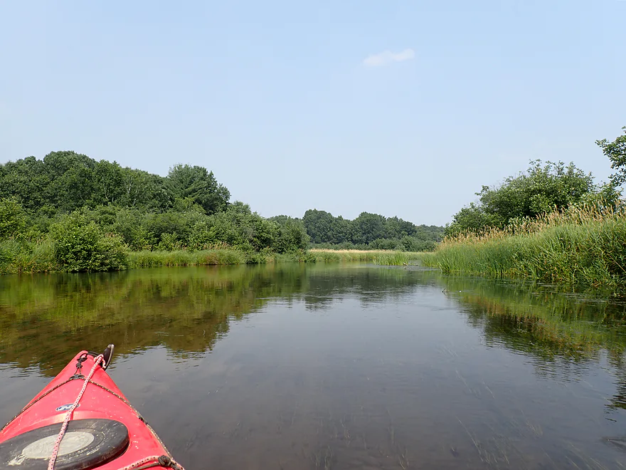
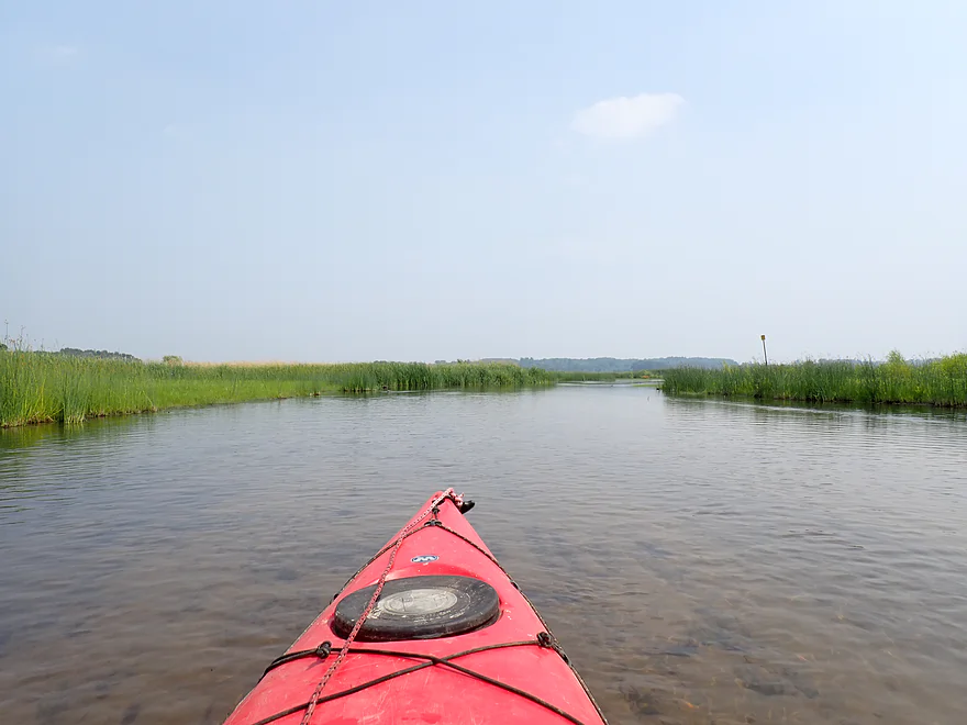
For the next half mile, the river started to slow and straighten. The banks became cleaner, less scrubby and more attractive. Finally the river turned sharply south and emptied into the Germania Marsh.
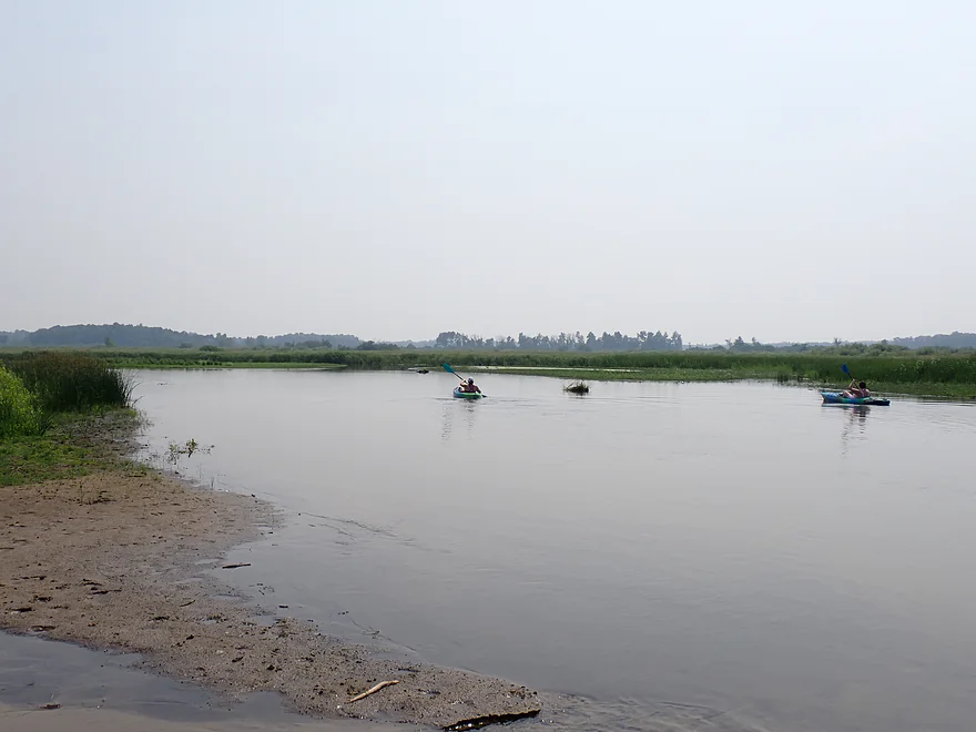
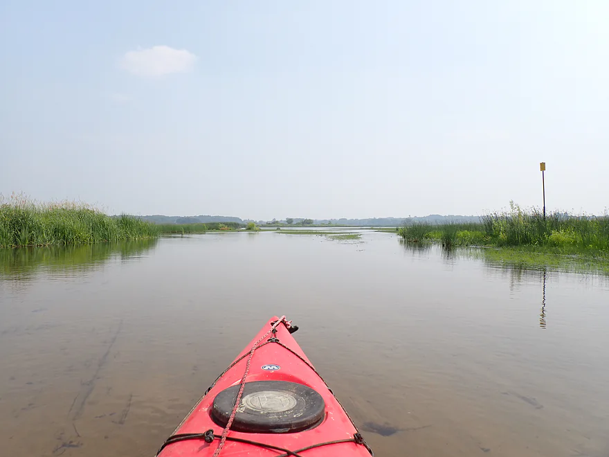
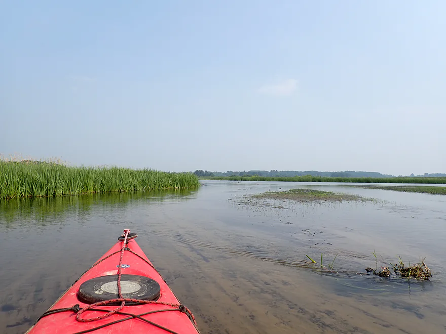
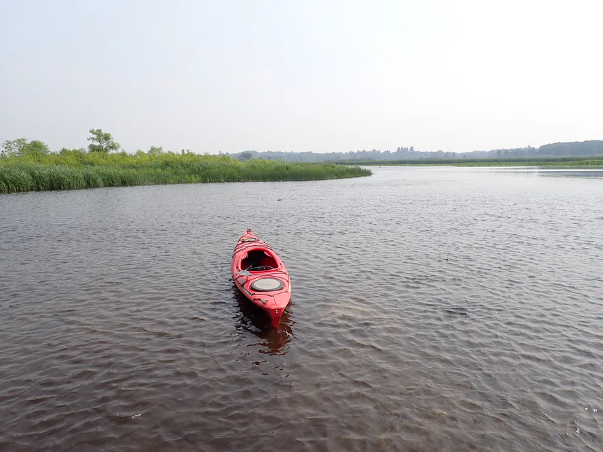
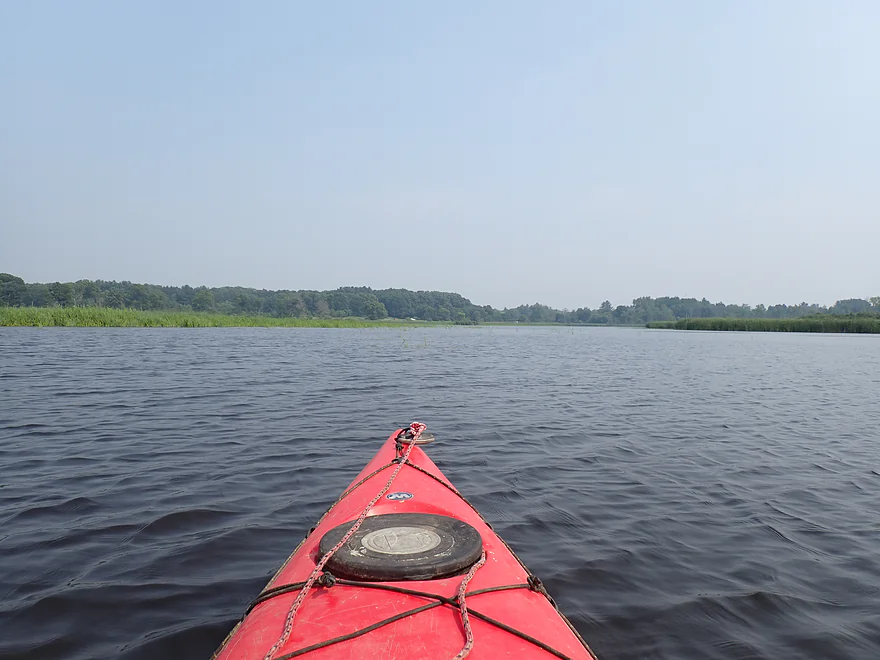
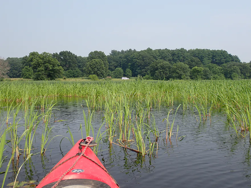
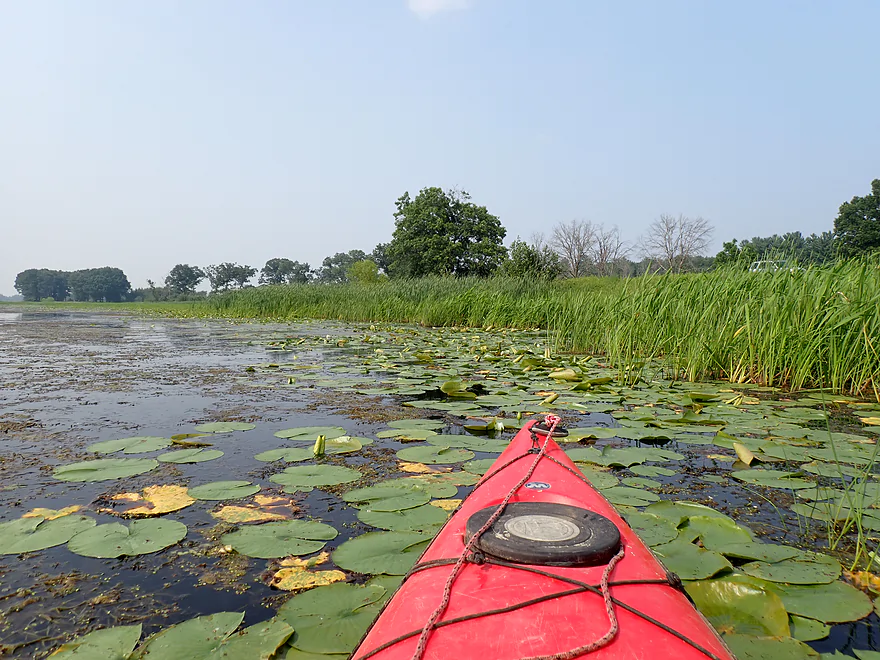
The marsh is largely a mile-long lake created by a dam near the town of Germania. At first I explored the northeast island and side channels, which looked more scenic. But I soon found this area to be too shallow and had to get out (the flowage is largely silted in). In general though, I think if you stick to the west side of the lake, you should avoid running aground.
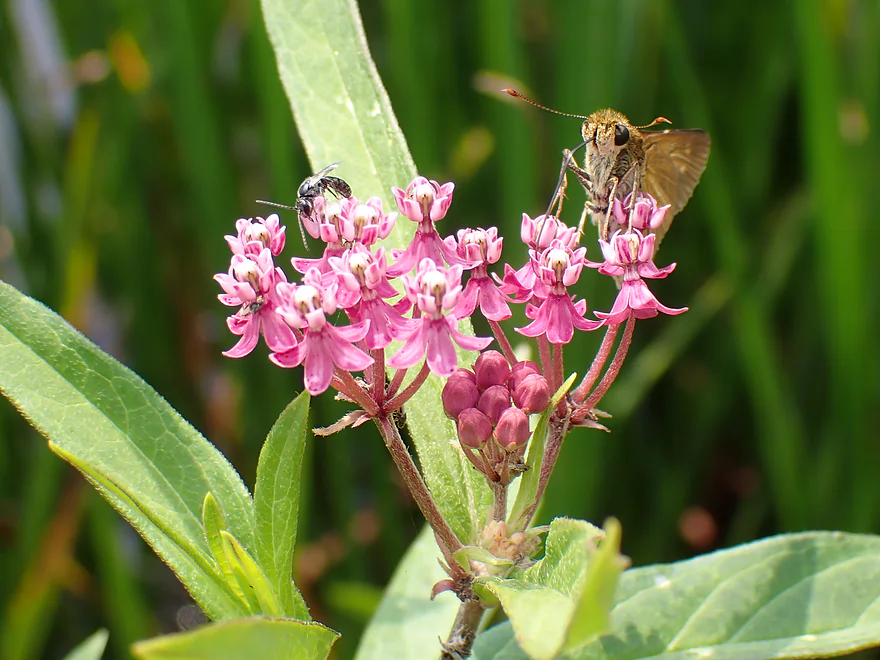
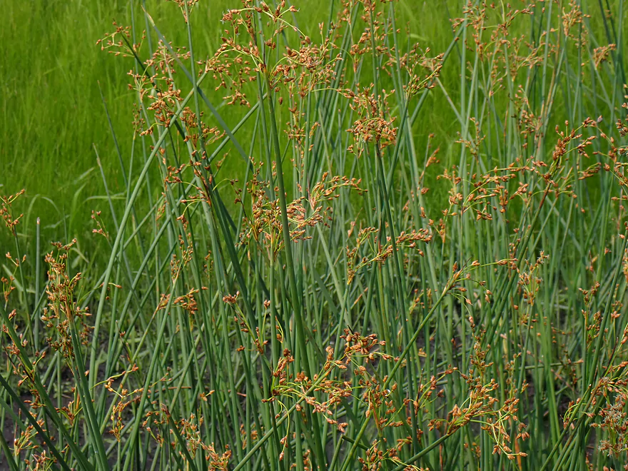
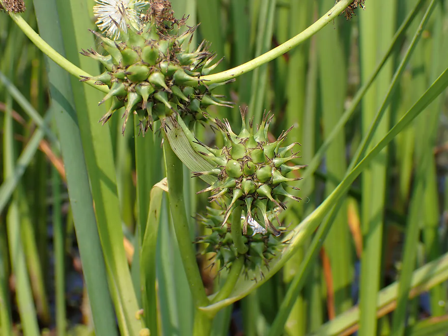
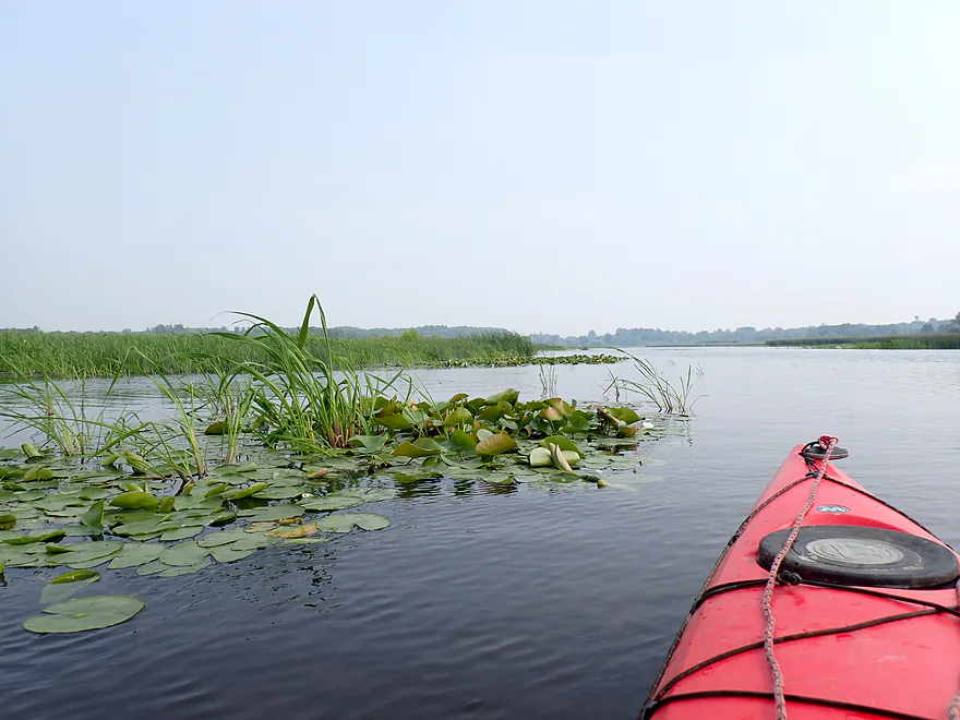
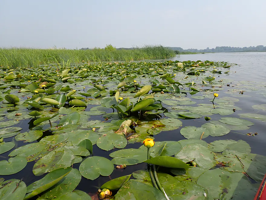
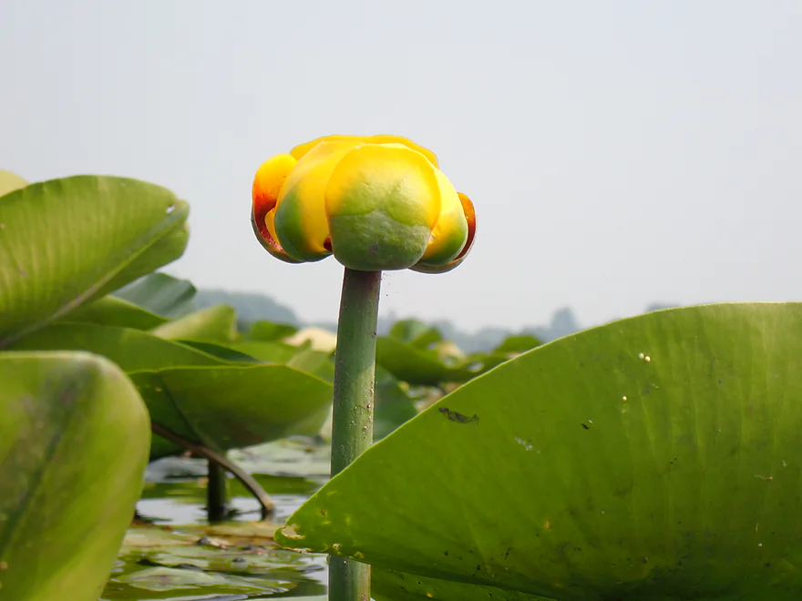
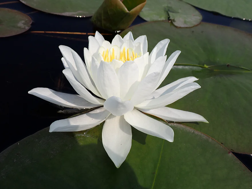
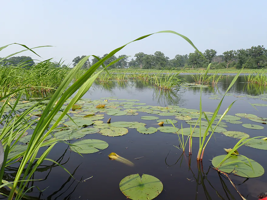
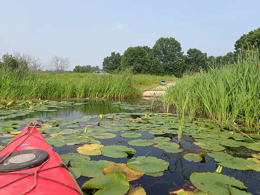
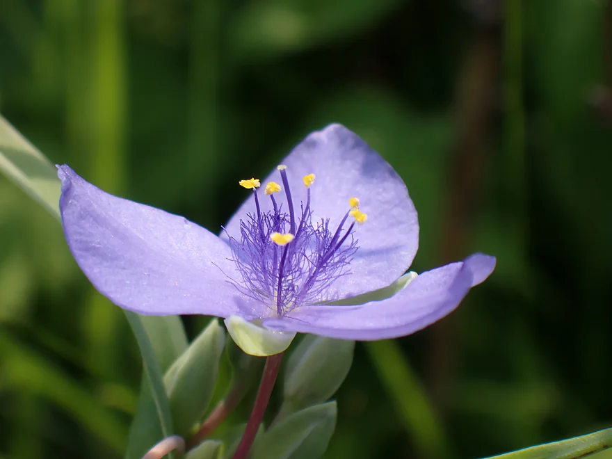
I enjoyed the marsh scenery, which featured attractive lilies, interesting marsh plants (not just cattails!), and cool insects. Several kayakers who passed me did get lost though. It’s not a bad idea when paddling without telltale current to bring a GPS.
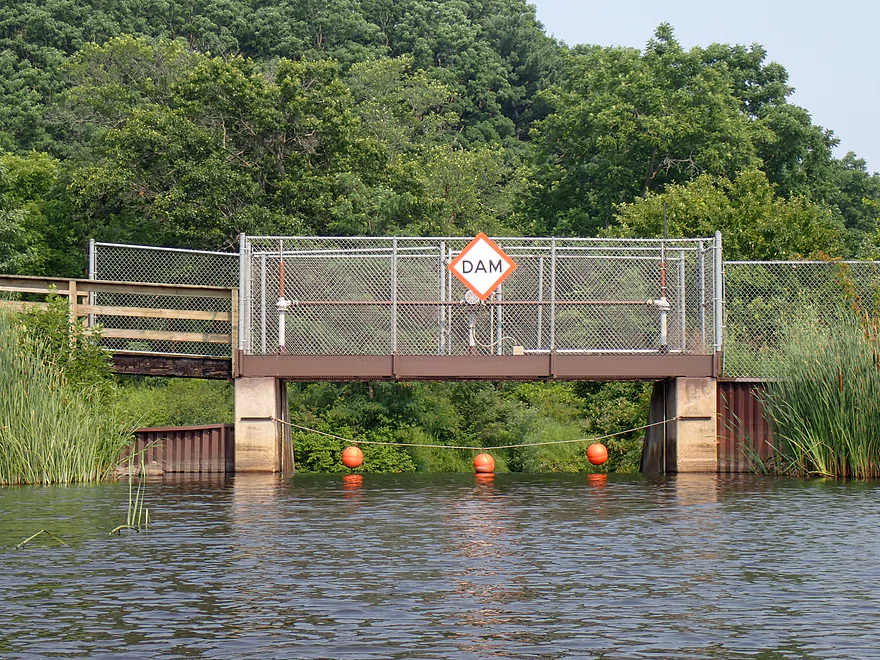
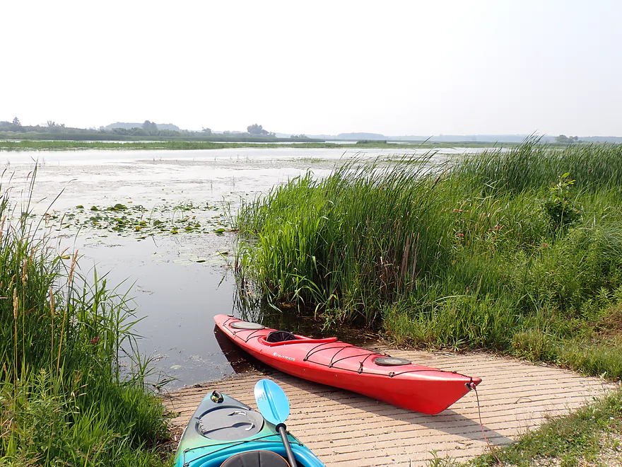
At the south end of the lake I encountered the Germania dam. Just to the north was a nice public ramp where I ended my trip. The take-out is part of a larger wildlife area that features nice vistas of the marsh, cool prairie plants, and lots of insects.
In summary this was an ok trip, but not anything special…and honestly was likely the weakest Mecan River leg I’ve kayaked. The wildlife, insects, and flowers turned out to be more interesting than the river itself. If you’re new to the Mecan River…start with Dakota to Dixie, which is a great leg.
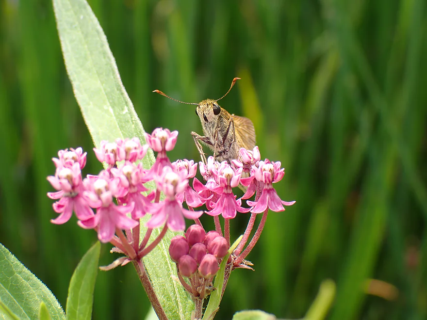
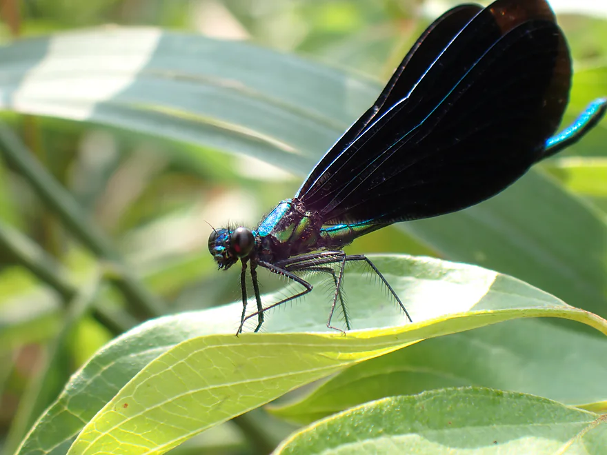
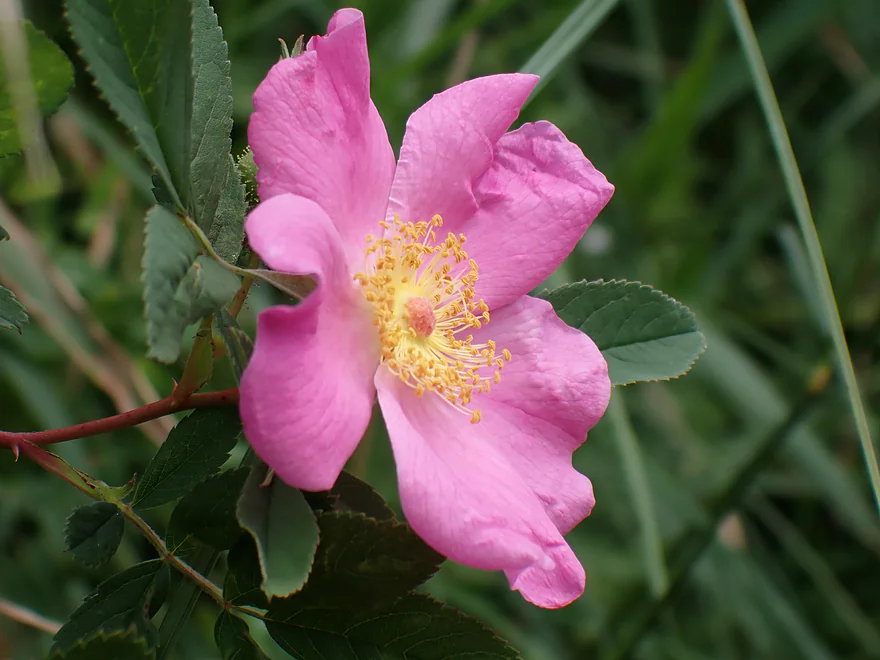
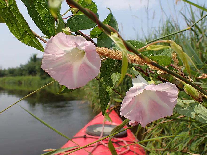
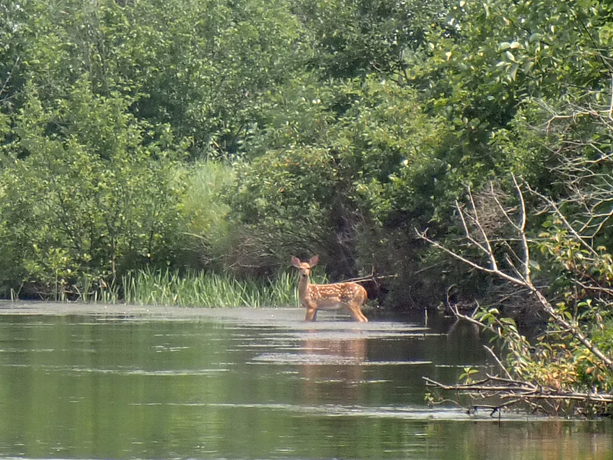
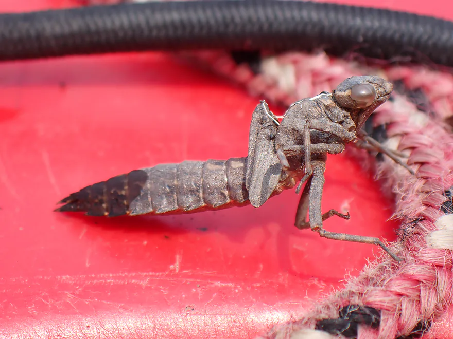
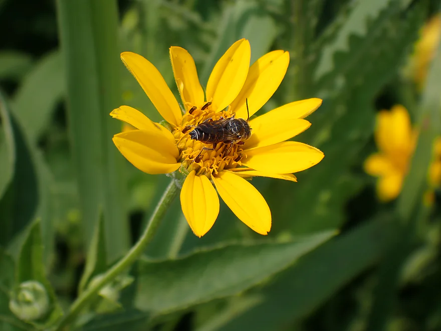
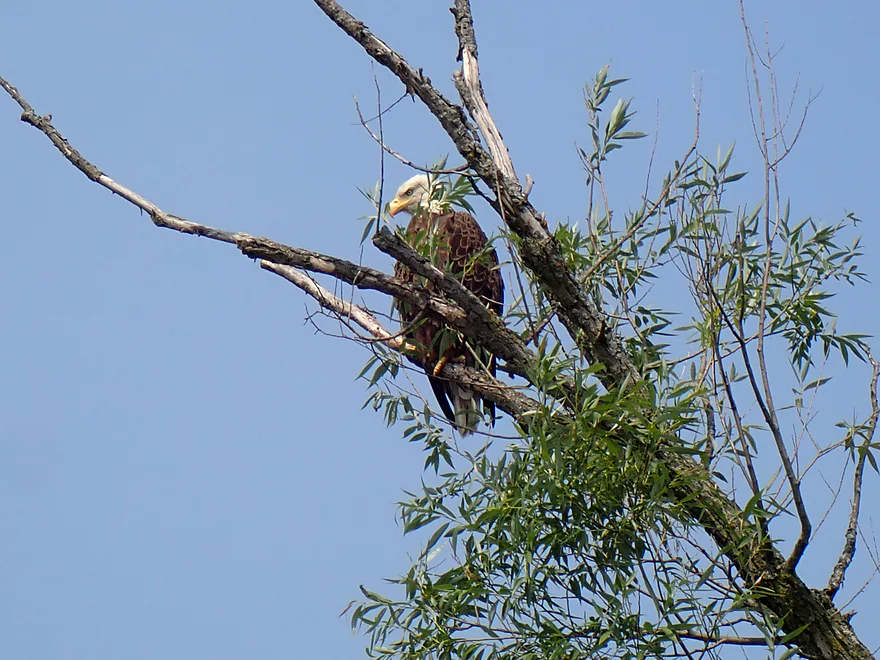
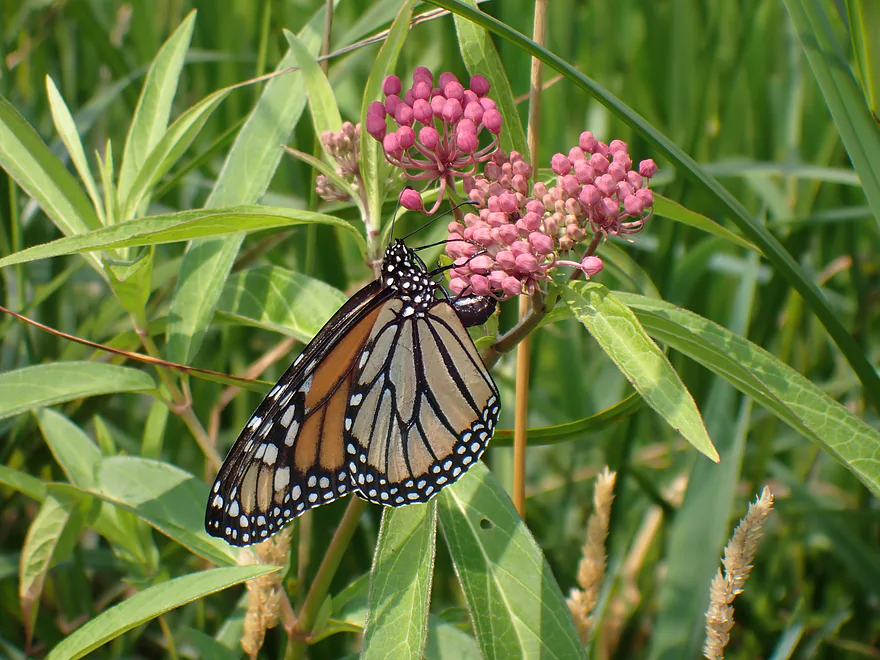
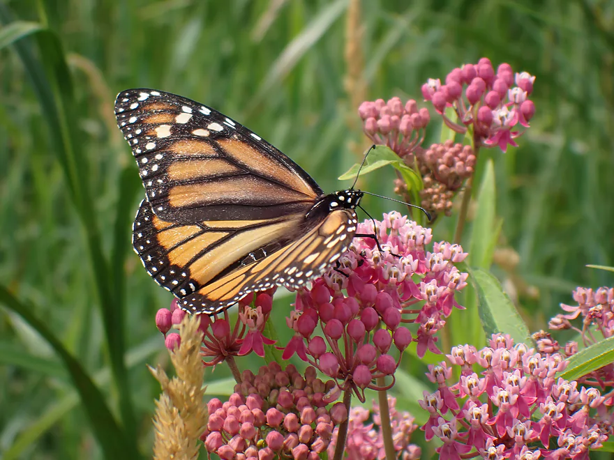
Sights included an otter, several eagles, a great blue heron, painted turtles, several fish and a teenage fawn munching on algae. This was a great trip for insects, with lots of damselflies, dragonflies, bees, and butterflies. The highlight were two ospreys I saw at the north end of the marsh.
Germania Marsh State Wildlife Area: This 2,400-acre property features a collection of habitats for public use, but is best known for its outstanding spring and fall populations of migrating waterfowl and shorebirds.
Hwy 22: There is a public access north of the bridge. This is a good spot for launching.
Alternate Put-ins:
- Hwy E (0.7 miles upstream from Hwy 22): I suppose, if you wanted, you could launch here for a longer trip. But Hwy 22 is the better access.
Germania Marsh Dam: There is a terrific public access and ramp located at the south end of the marsh (right by the dam). Note, the main ramp is only open in the summer. If the gates are closed you could likely simply drag your boat around the gate and make do.
Alternate Take-outs:
- Fish Barrier/Duck Creek Road (1.1 miles upstream from the dam): I saw cars parked by the bank, and you could certainly end your trip here if you wanted to avoid the marsh. Although I actually preferred the marsh portion. Note, the gravel road by the fish barrier might be closed outside of summer.
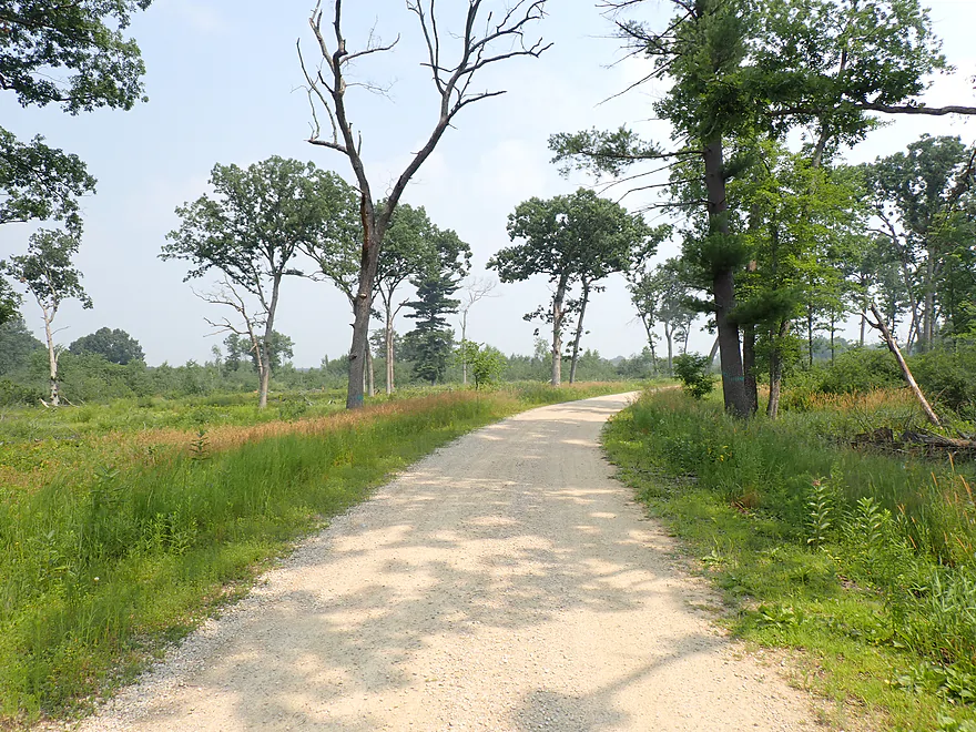
Bike Shuttle – Germania Dam to Hwy 22: 5.6 miles with 112′ of ascent. You can shuttle north of the river or south of it. North is a bit shorter but includes gravel. I shuttled on the south side, which had some pleasant trees that provided good wind cover and shade.
Mecan River Outfitters: This is a possible rental/shuttle option. Typically they launch below the dam (as opposed to taking out here) though. Call in advance to guarantee availability.
Current: The river portion has brisk current, which was one of the trip highlights. The marsh portion was very slow though.
Wind: As this is a pretty open trip, you should stay off the water if strong winds are forecasted.
Low Bridges: There was a very low bridge after the fish fence. I was able to get under, but alternatively a portage wouldn’t be difficult.
Getting Lost: Two other kayakers I met on this trip did get lost in the marsh. Bringing a GPS is a good idea. A good phone app that works without reception is “Guru Maps”.
Electric Fish Barrier: There is an electric fish barrier designed to block fish from swimming upstream. There are warning signs to take out, but the portage path looked really overgrown and gnarly. I didn’t see the fence itself and just glided over it without incident. I’m not sure if kayaks are immune? I asked AI and they indicated a kayak would be safe to pass over…but don’t quote us on that. If in doubt you could portage along the left bank.
Quicksand: Be careful about wading in the river. The substrate is very sandy, but it is a very soft sand. In some spots you could sink down pretty far.
Closest Gauge: Chaffee Creek @ Coloma
My Trip Depth: 1.5 CFS or 3.64′
Gauge Guide: Note, Chaffee Creek is much smaller than the Mecan River so it can’t be trusted too much. It can be said though that the Mecan is, generally speaking, a remarkably stable river (due to its many springs and marshy bottoms). It can often be paddled when other rivers are too high or too low.
- < 3.59′: The river rarely gets this low.
- 3.59-3.60′: A relatively low depth but should be navigable. Note, the upper marsh is very shallow and you may have to wade parts during low water.
- 3.61-3.63′: An average late-fall depth and a good target range.
- 3.64-3.68′: Above average depth.
- 3.69-3.72′: High depth…but should be navigable. Clarity might not be as good.
- 3.73’+: A relatively high depth. Likely navigable but perhaps not ideal for kayaking as you might lose a lot of good clarity.
Detailed Overview
Generally speaking, the further upstream you go on the Mecan, the better. Upper Mecan segments tend to have less mud, better current, better clarity, and more attractive shorelines.
- Mecan Springs to 9th Ave: 1.4 miles.
- Mecan Springs Boat Launch to Hwy GG: 0.6 miles. The river starts as a spring-fed lake sandwiched between two moraines. This is a neat lake paddle with clear water and visible springs located mostly along the western end. Trip length can be expanded by 1-2 miles if you explore the various bays throughout the lake.
- Hwy GG to 9th Ave: 1.4 miles. The first mile of the river has a few snags to dodge, but is super scenic with nearly perfect water clarity.
- 9th Ave to Hwy 21: 2.3 miles. Satellite maps indicate there could be many logjams and portages.
- Hwy 21 to Cumberland Road: 2.3 miles. Satellite maps indicate there could be many logjams and portages.
- Cumberland Road to 11th Ave: 3.9 miles. A great section with fast current, clear water and scenic white pines. A few logjams to portage but not bad.
- 11th Ave to Hwy Y/JJ: 3.7 miles. A fantastic section and my favorite on the entire river.
- Hwy Y/Dakota to Dixie Ave: 5.4 miles.
- Hwy Y to 14th Ave: 2.8 miles. An excellent section with white pines, tamaracks, narrow twisty turns and crystal clear water.
- 14th Ave to Dixie Ave: 2.5 miles. While not as good as the previous leg and more open, this is still a good stretch. This includes the "Mecan River Pine-Oak Forest State Natural Area".
- Dixie Ave to Hwy 22: 4.5 miles.
- Dixie Ave to Dover Ave: 2.0 miles. An ok section, but not as good as upstream sections. Even more open and slower, with far fewer pines.
- Dover Ave to Hwy E: 1.8 miles. River starts to become less interesting but is still ok.
- Hwy E to Hwy 22: 0.7 miles. Nothing special about this section. Open and somewhat simple.
- Hwy 22 to Germania Marsh Dam: 5.8 miles.
- Hwy 22 to Duck Creek Road/Electric Fence: 4.2 miles. More open and not as interesting, but the brisk current and good clarity are enjoyable.
- Duck Creek Road/Electric Fence to Dam: 1.6 miles. River slows and empties into a mile long shallow marsh. The Germania Marsh features nice scenery and good wildlife. Take-out is on a small access road off Hwy N.
- Dam to Elk Road: 6.3 miles. The most popular section on the Lower Mecan.
- Dam to Hwy N: 5.2 miles. River turns into a flowage pond and marsh. Take-out is on a small access road off Hwy N.
- Hwy N to Elk Road: 1.1 miles. The river completely moves east, creating a really cool corridor.
- Elk Road to Hwy 23: 2.4 miles. Traditionally a section with many logjams, but it does get cleared out periodically by the local livery. Hwy 23 is a poor access option.
- Hwy 23 to Hwy C: 2.7 miles. Again, this usually has logjams but they are often cleared out by the locals. Hwy 23 is a poor access option.
- Hwy C to Mouth: 1.1 miles. Simple open stretch leading to the Fox River.
- Mouth to the Princeton Locks: 3.1 miles. An uninteresting stretch on the Fox River.
For further information on the Fox River, see my Fox River review.



Excellent photos!
Thank you!