
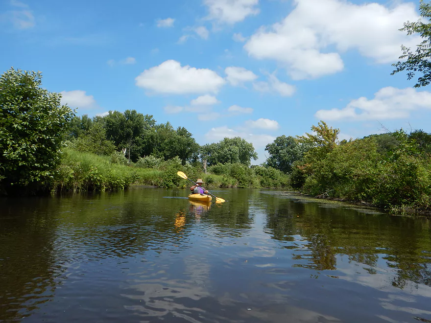
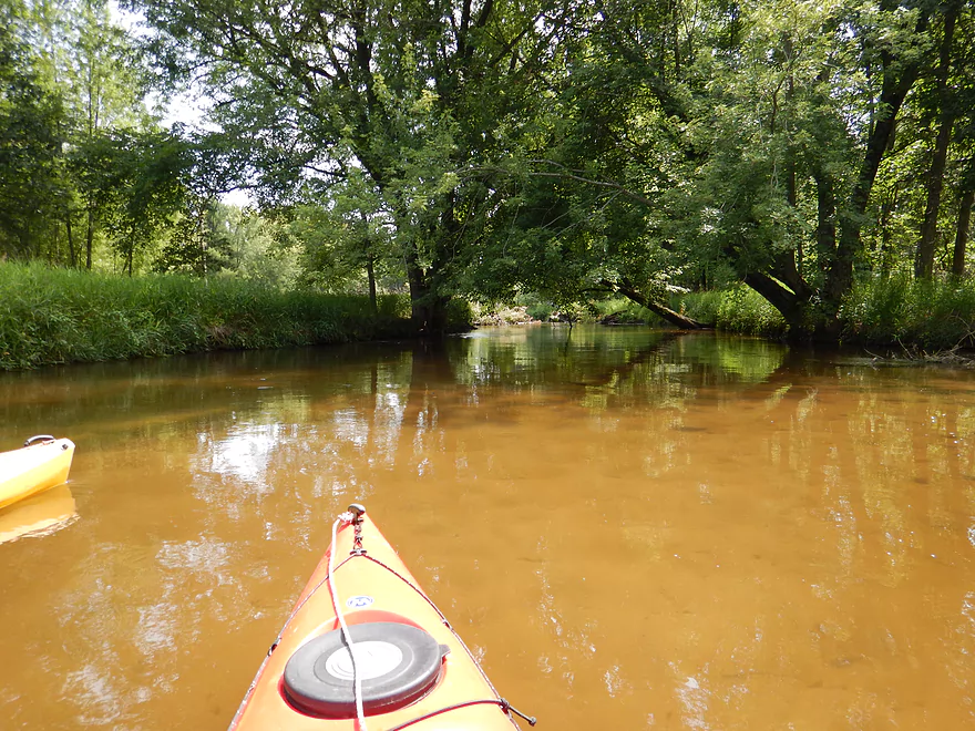
Germania Marsh is a nice put-in for the trip
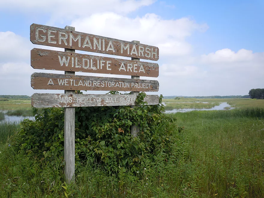
Says wetland restoration…actually it is just a flowage
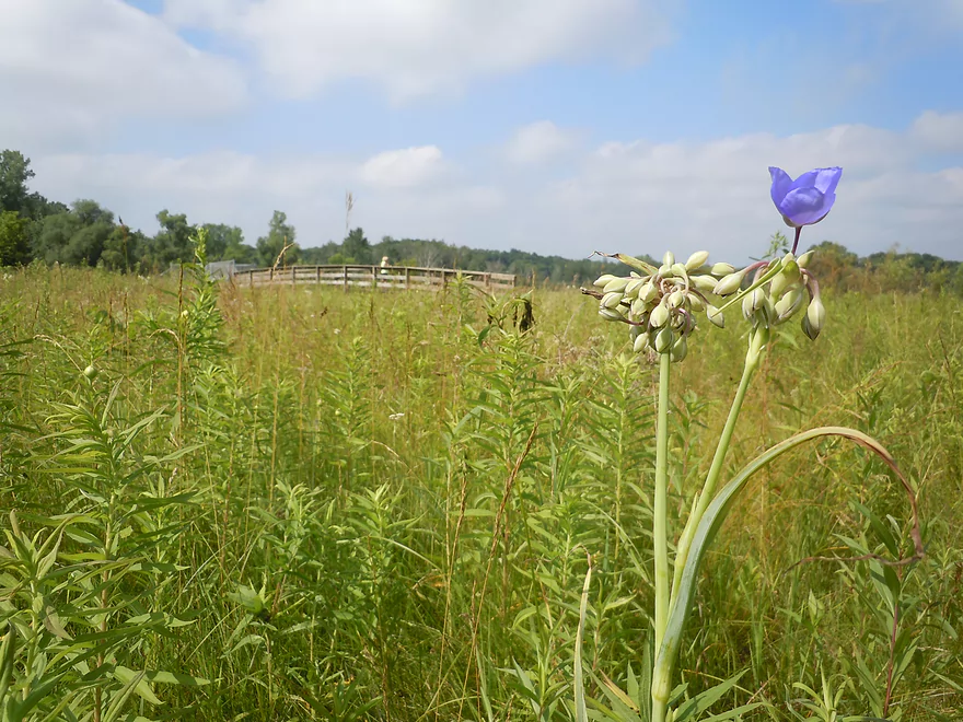
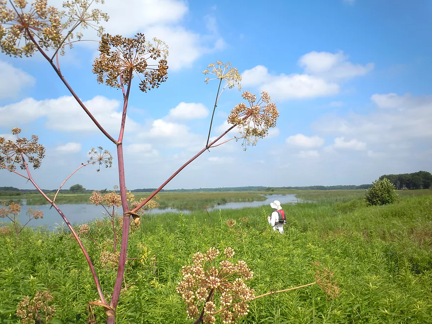
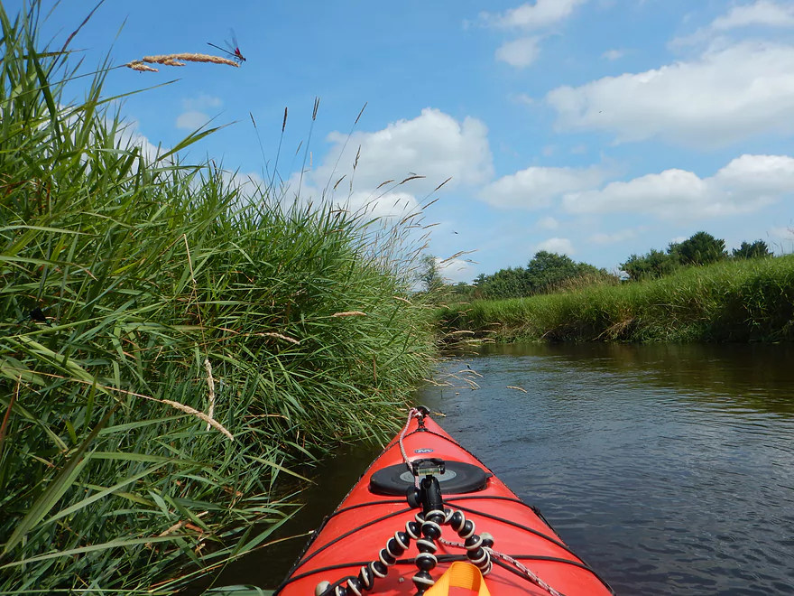
Nice prairie by the marsh
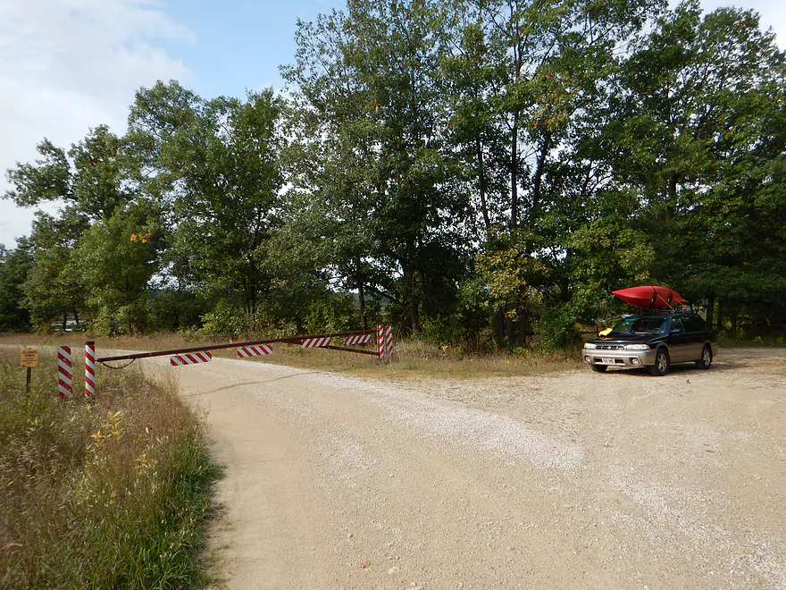
If you arrive outside of summer, you may be gated off from the dam
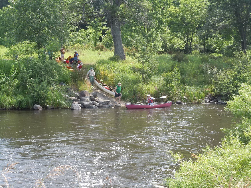
Nice access below the dam
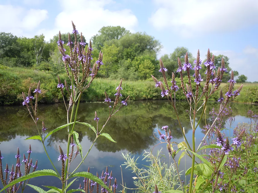
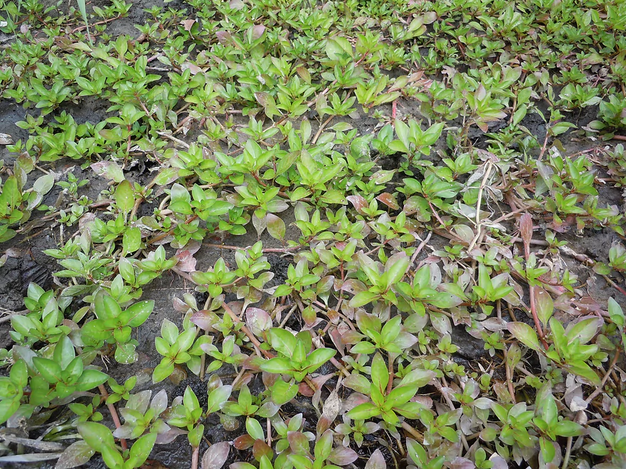
Blue vervain
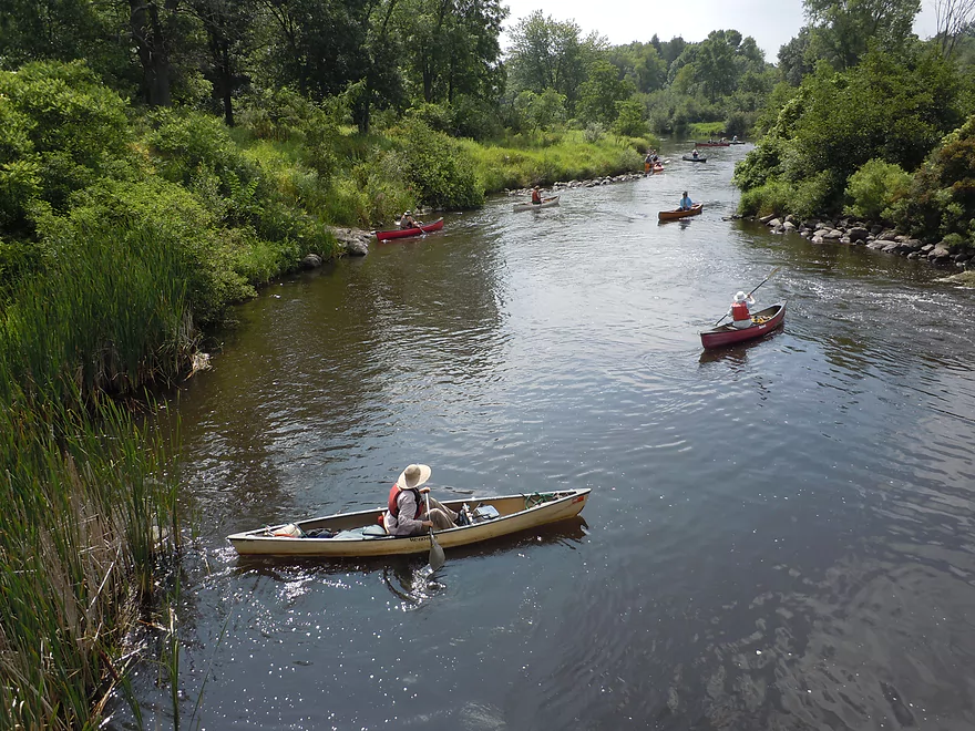
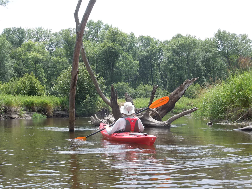
Prairie State Paddlers
The dam that created the marsh
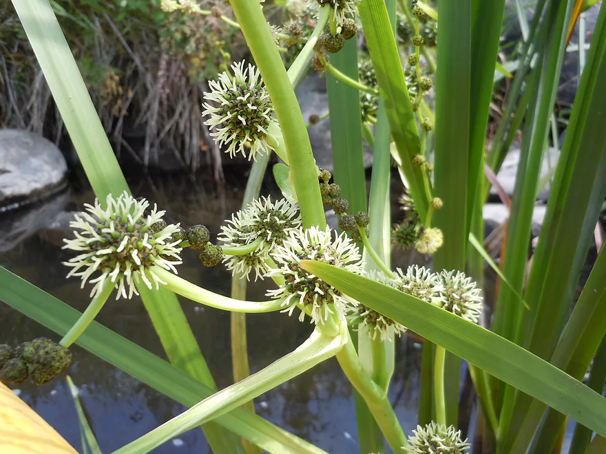
Bur-reed flowers
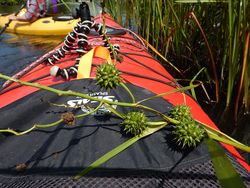
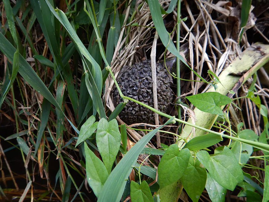
Bur-reed fruit (looks medieval)
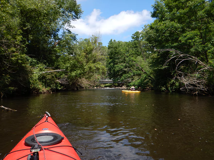
Approaching Eagle Road
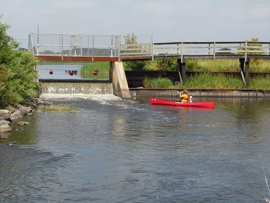
There is a fun drop here
Class 2, but pretty safe
Even doable in a canoe
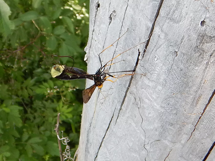
An ichneumon wasp laying eggs in a tree
The channel is artificially centered
That was entertaining
Picture shows how big the drop is
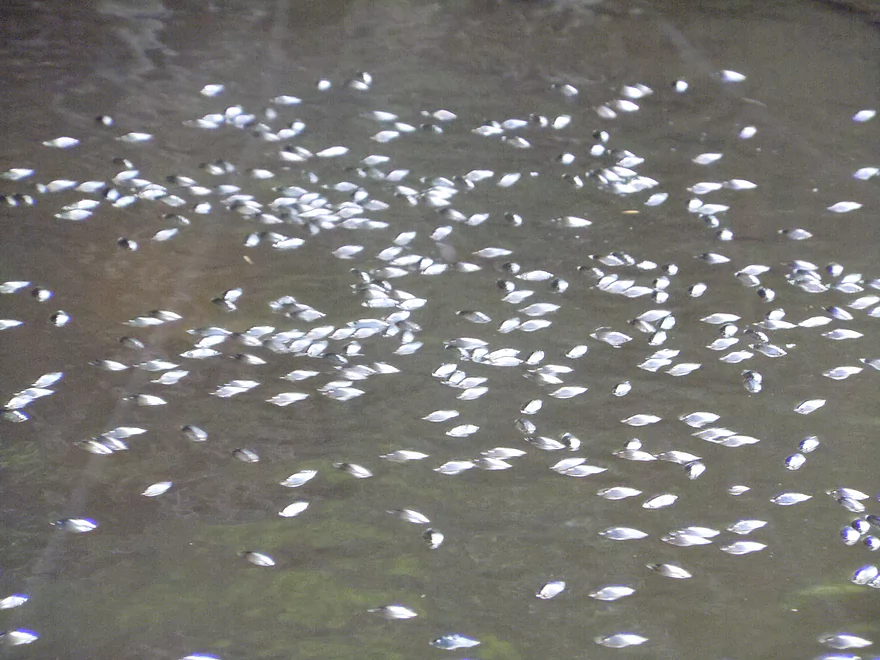
So many whirligigs
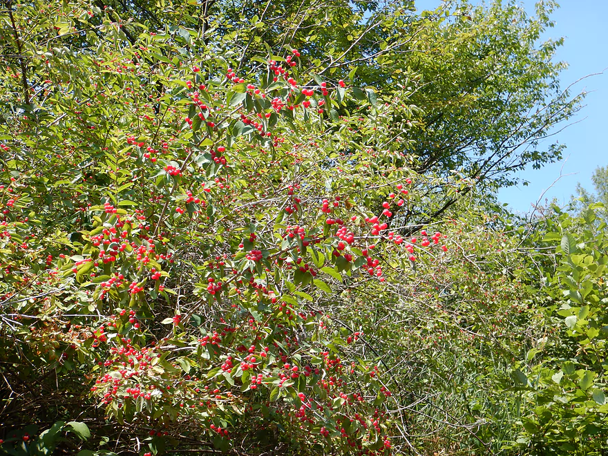
Honeysuckle berries…attractive but not edible
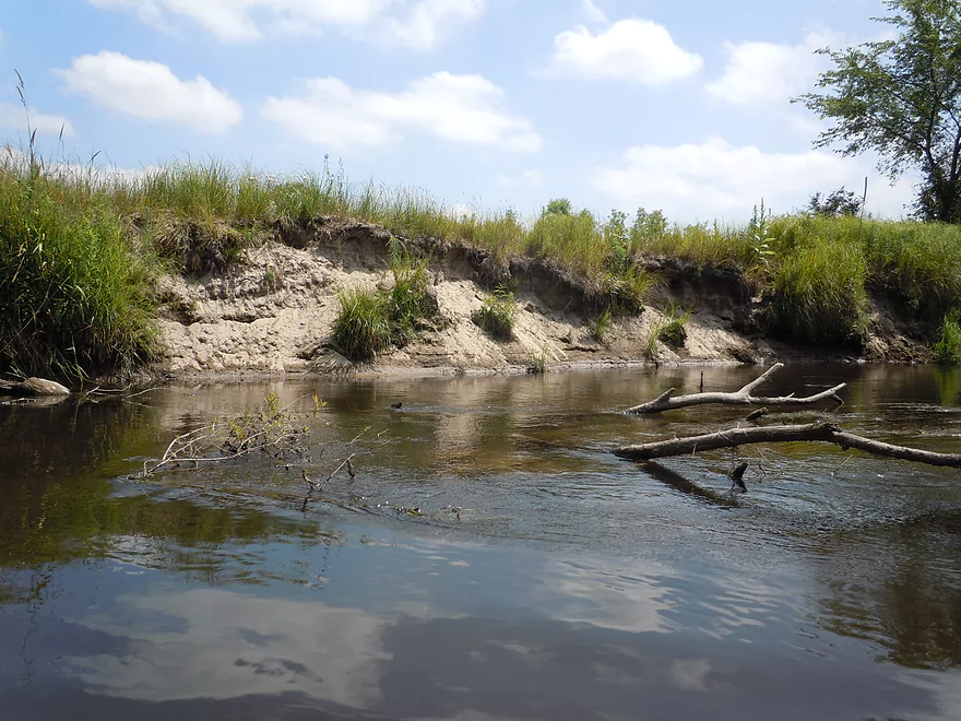
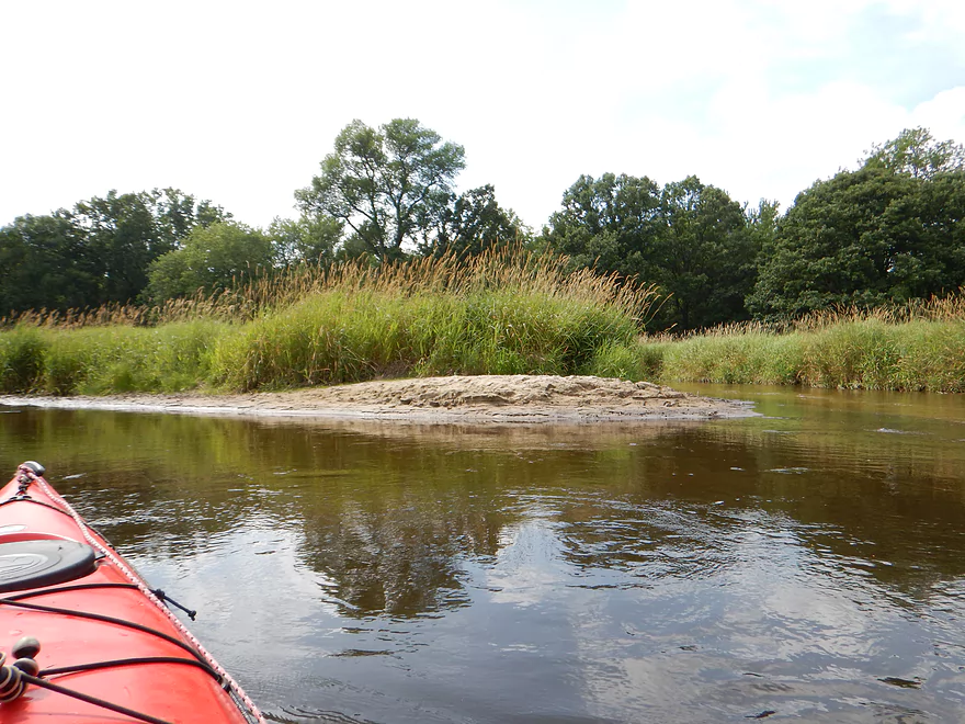
Mecan is pretty sandy
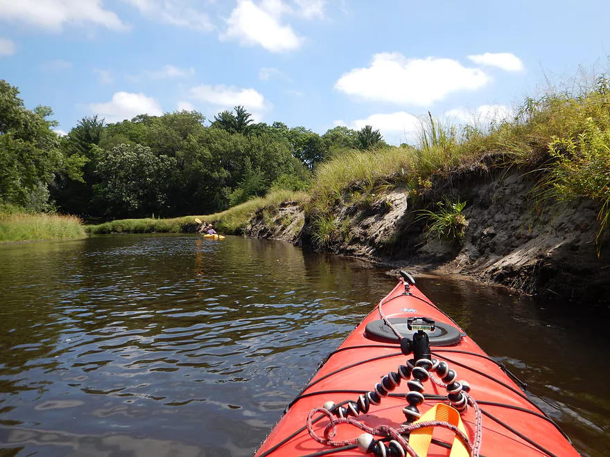
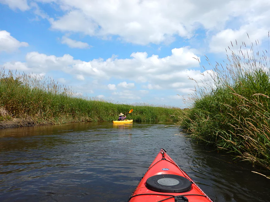
River is flanked by prairie early on
Even more sand banks
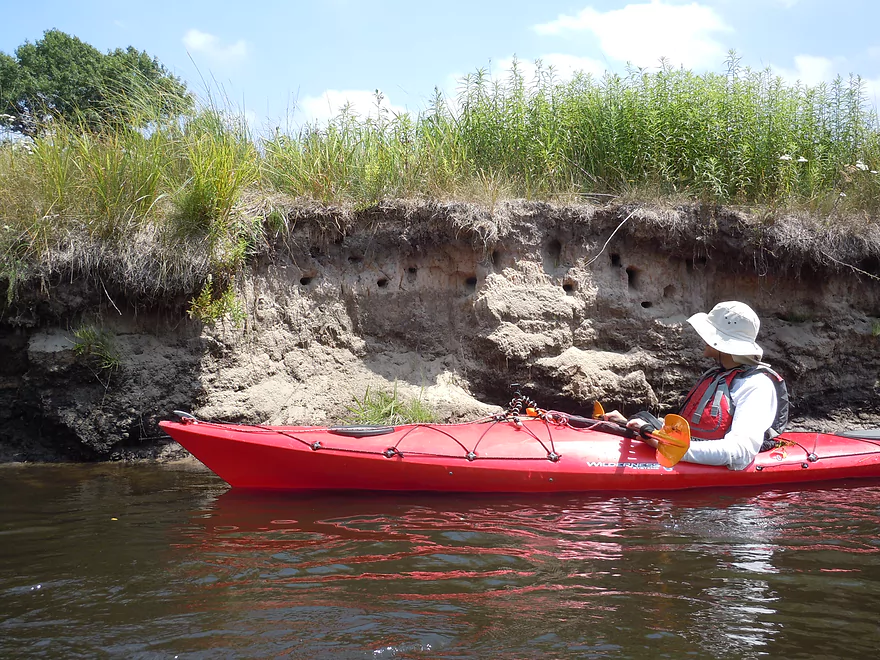
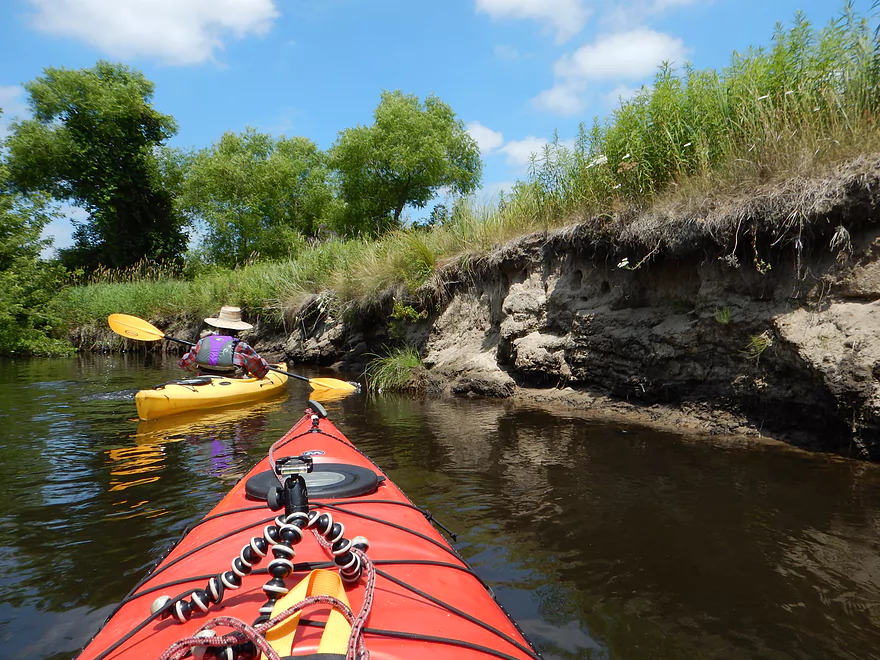
These have homes in them
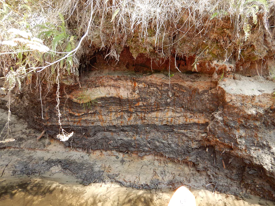
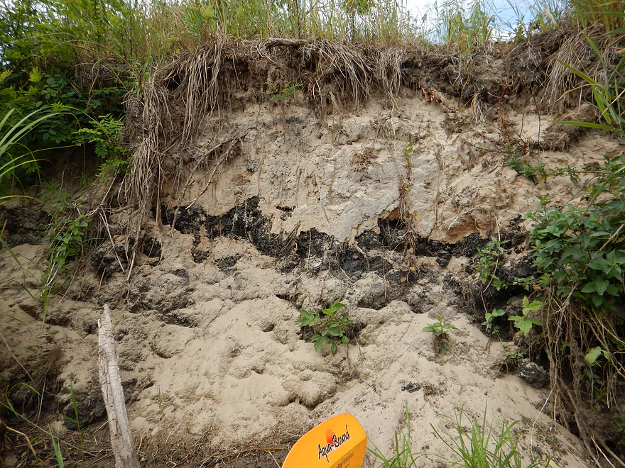
Interesting stratification
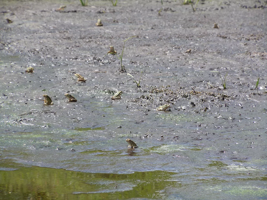
So many frogs waiting for insects to surface
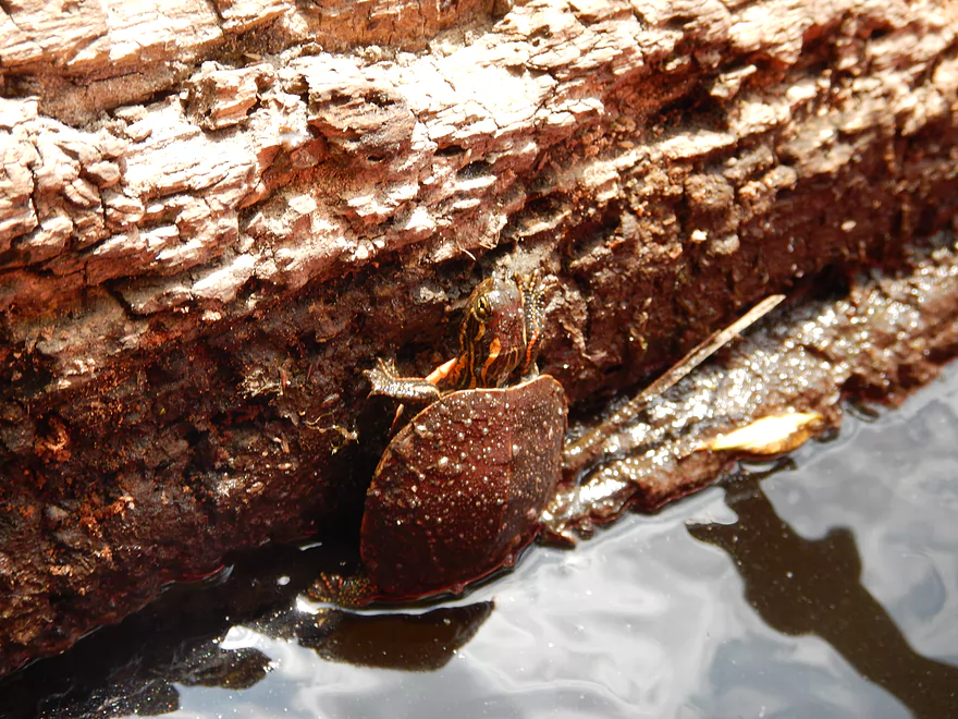
Baby painted turtle doing his rock climbing impression
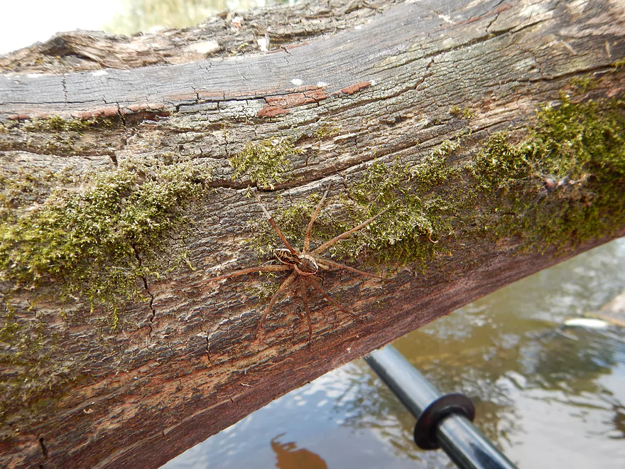
Huge fishing spider (they eat minnows)
Now sure how that branch is standing straight up…
At times, good water clarity
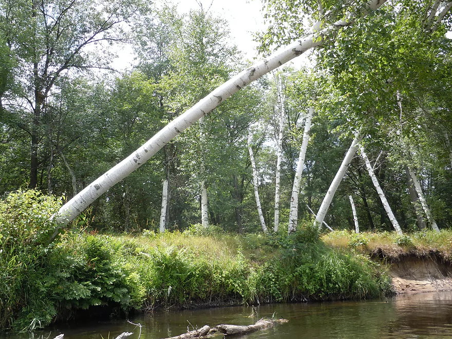
A grove of birch trees
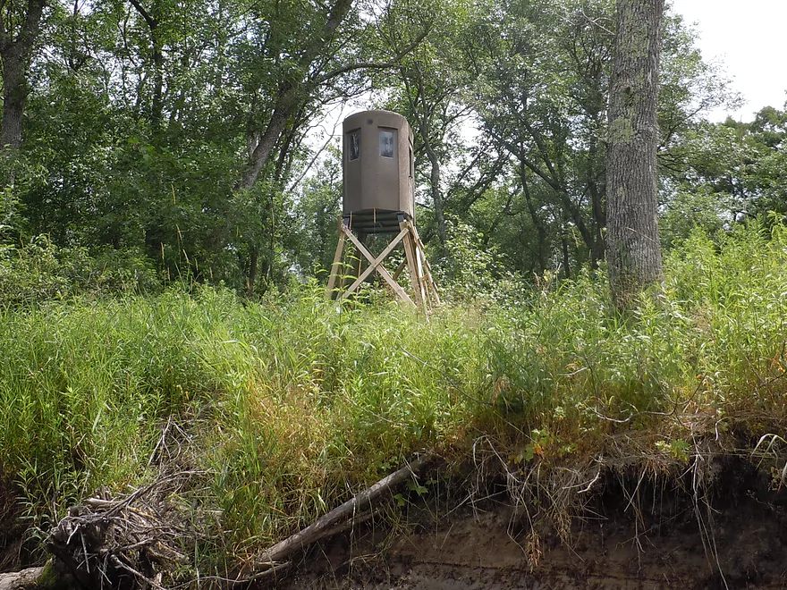
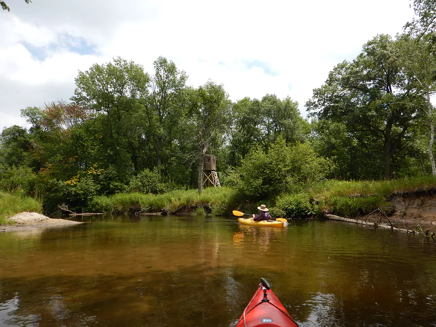
Lunar module duck blind
Cool plant
Alders really starting to get thick
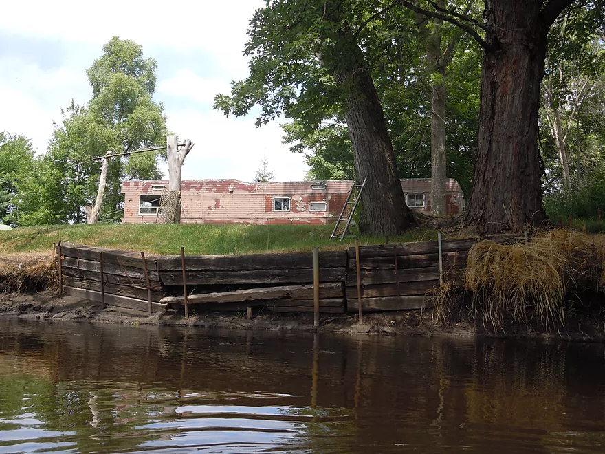
Kind of an ugly deer hunting camp
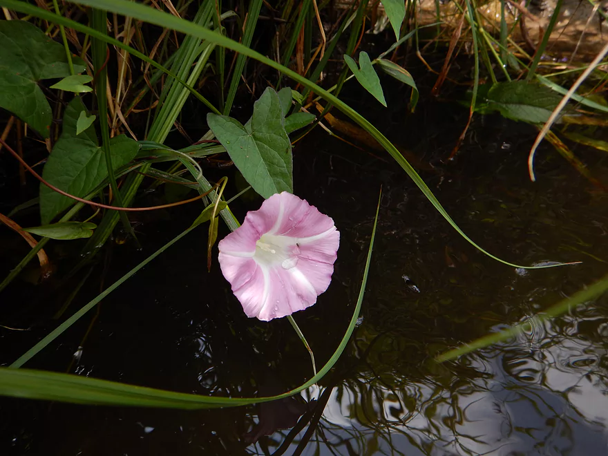
Wild morning glory
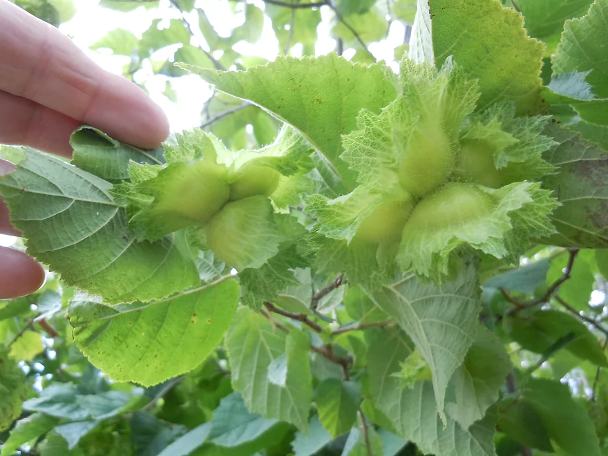
Wild hazelnuts in their fancy green husks.
A couple of muddy years surrounded by a lot of sandy ones
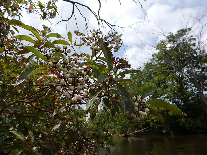
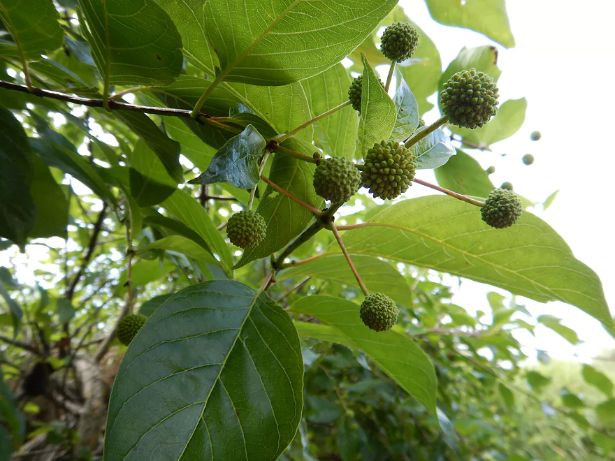
Gray dogwood berries
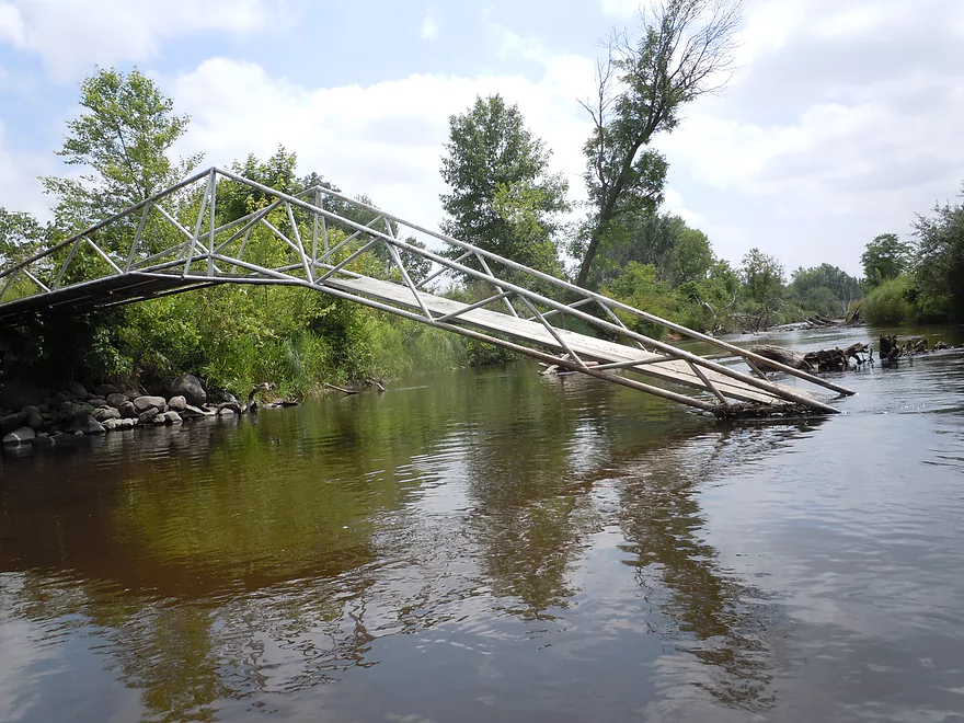
Bridge to nowhere
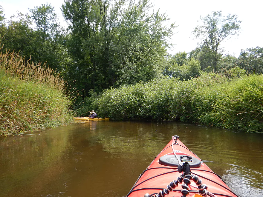
Some of the open sections weren’t as interesting
Thick alders and tamaracks reminded me of up-north
The nicest sandbank
Hwy J bridge
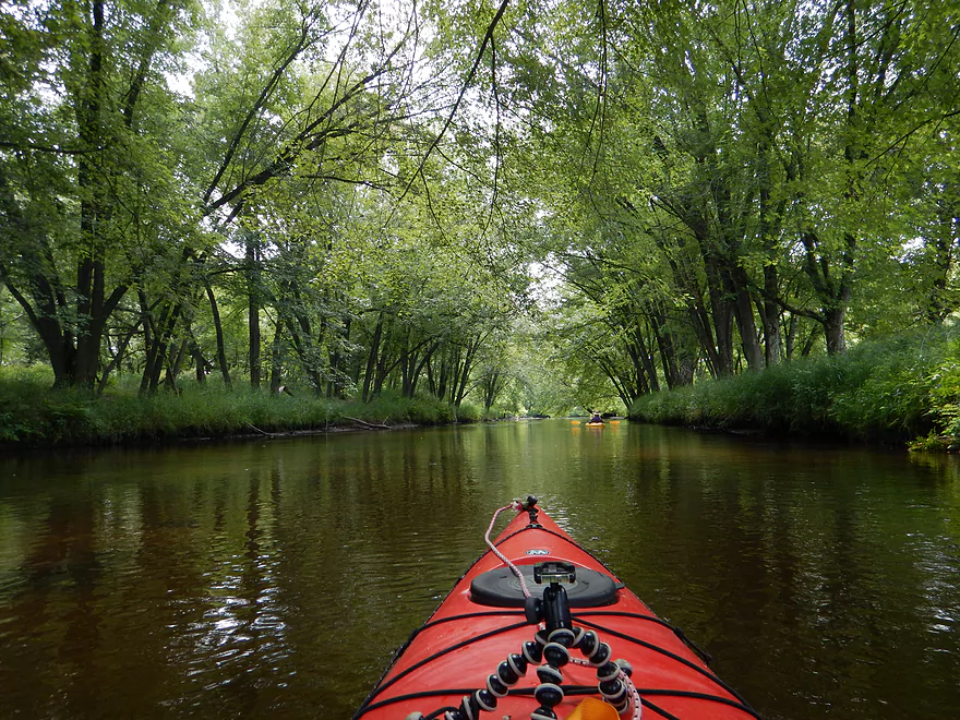
Really nice tree canopy
Fantastic water clarity in this section
You can see how sandy the substrate is
This was mostly a deep river
The first N bridge (bridge #7)
Good take-out option
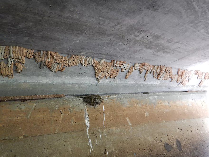
So many mud dauber nests
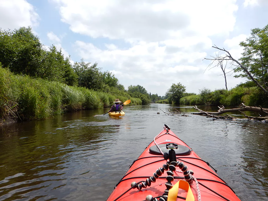
Now paddling on the new east channel of the river
Lot of damselflies on the trip
Getting shoved into buttonbushes by the strong current
Buttonbush fruit
This section was very recently cleared out
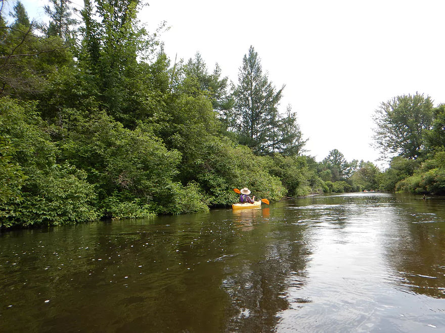
Really nice woodland paddle
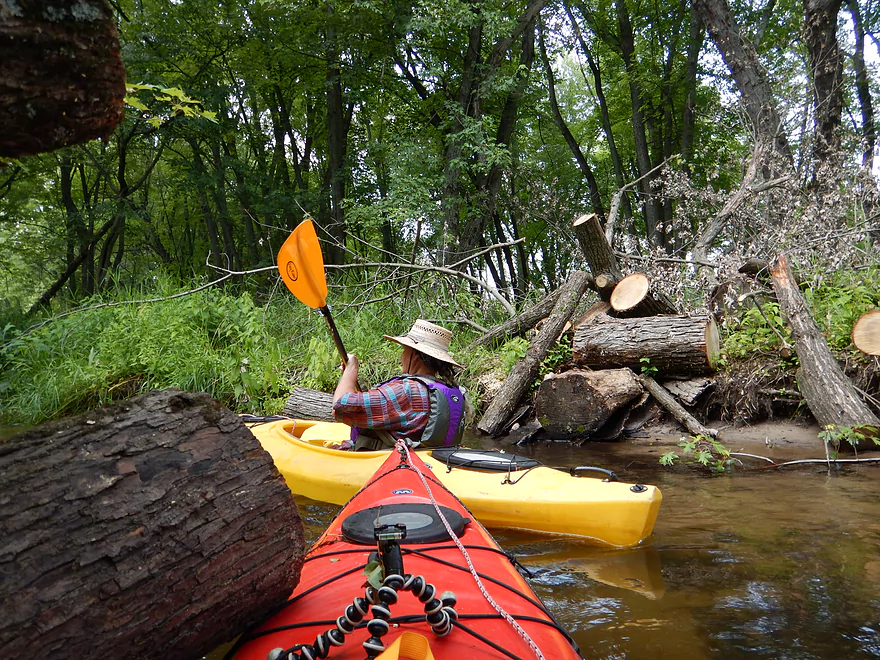
Future log jams
You have to stay on your toes to dodge the logs in fast current
Weird skunk cabbage club
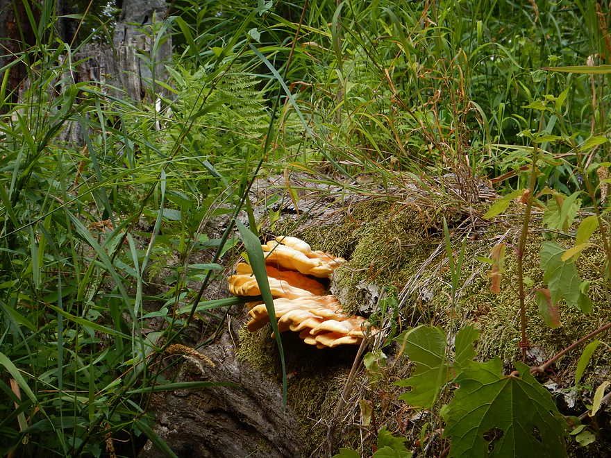
Soft fuzzy fungus
Out of the woods again
The old channel finally rejoins the main channel
Second N bridge (#8)
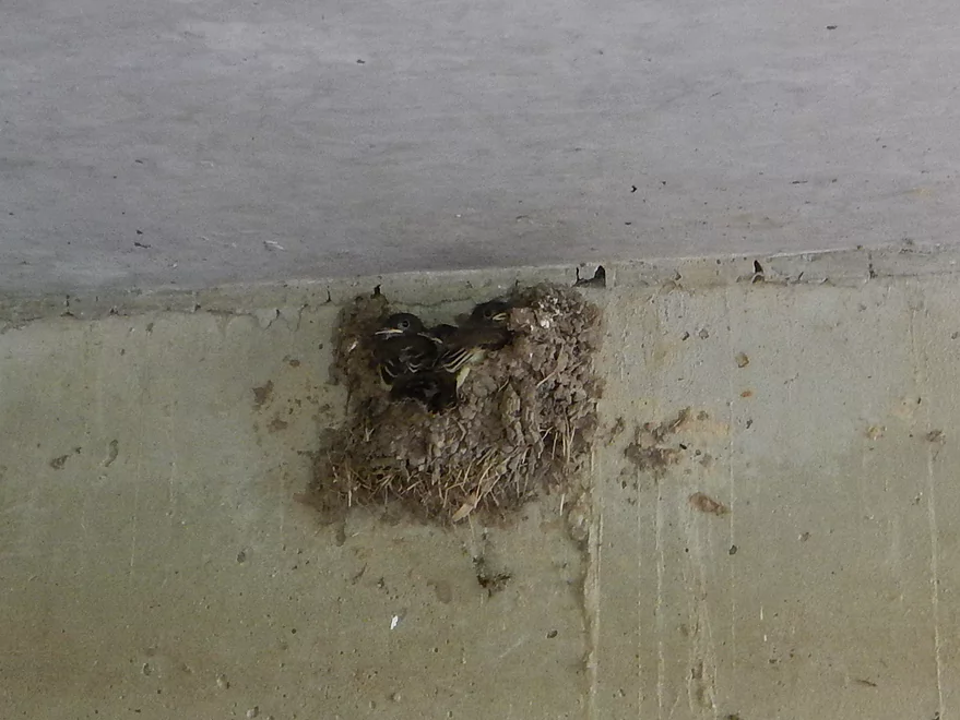
These barn swallows really need to repair their nest
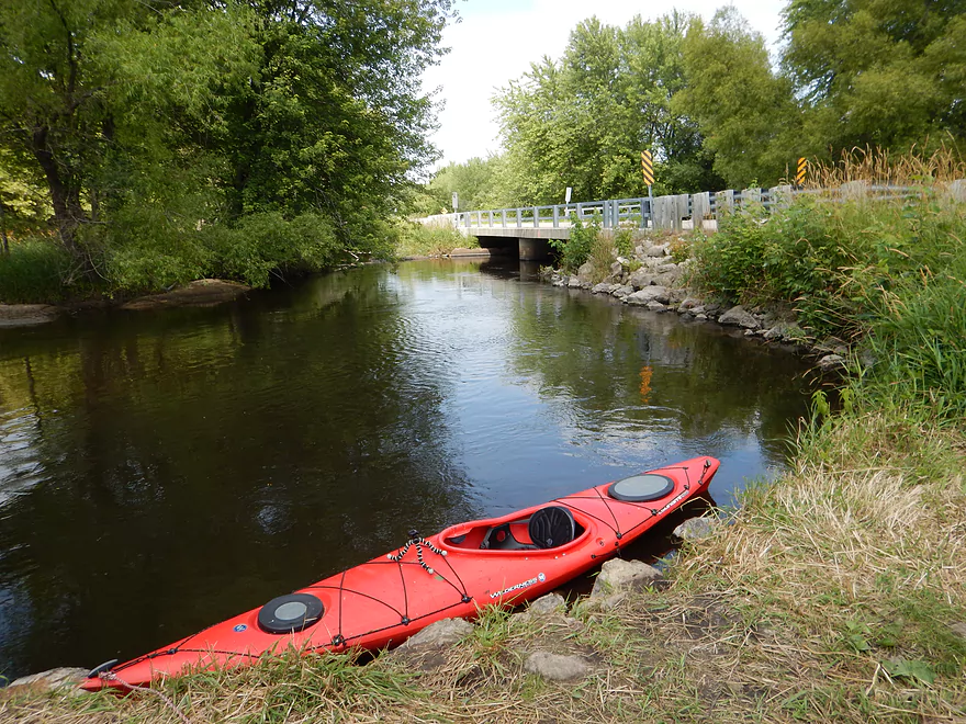
Good take-out by Hwy N
Not everybody is good at docking
Nicely mowed path and good parking
Mecan River – Post Germania


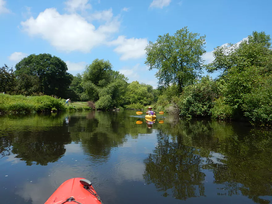
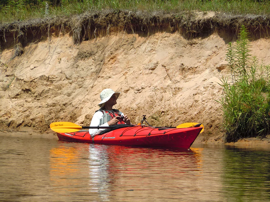
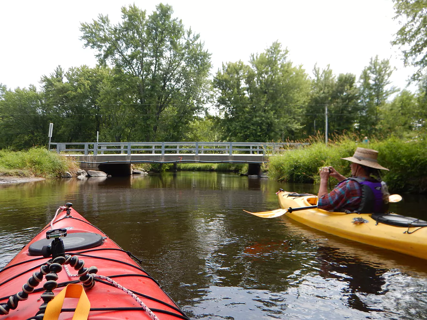
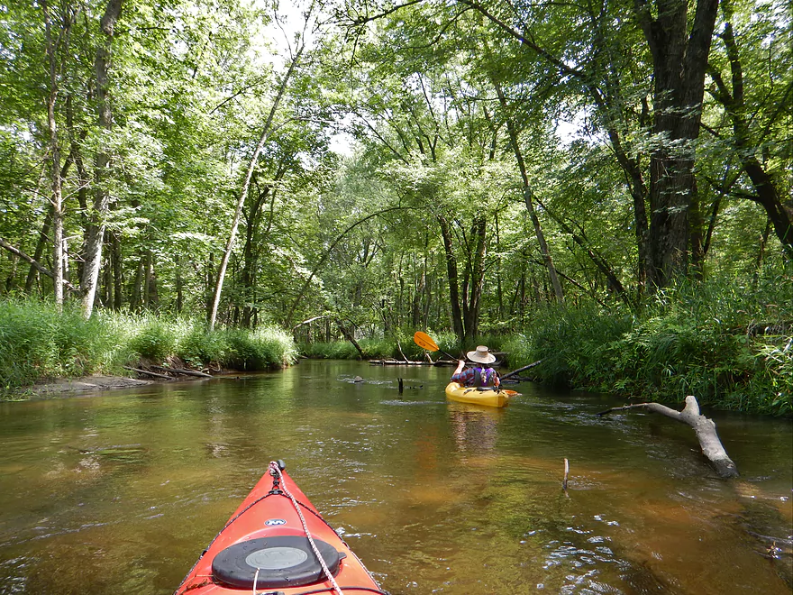
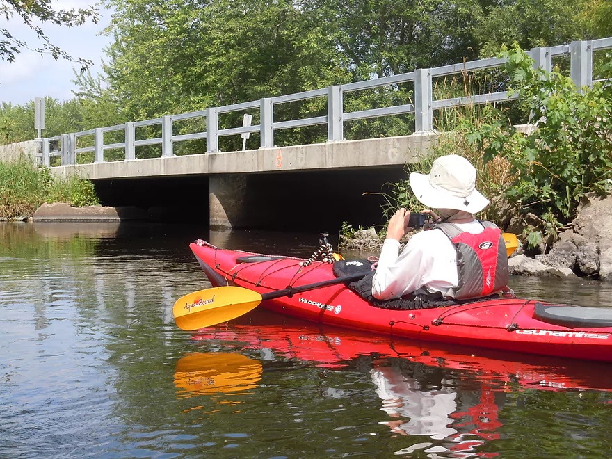
The Germania Marsh made for a fantastic start to the trip. It’s not a “real marsh” in that it is a flowage, but it is still quite nice and I’ll definitely explore it on a future trip. As we were putting in, we encountered a huge herd of kayakers. It turns out they were members of the Prairie State Canoeists (basically a midwest paddling club with mostly Illinois members). If you’re interested in paddling clubs and live in Wisconsin, I actually suggest Mad City Paddlers which is an alternative paddling group based out of Madison.
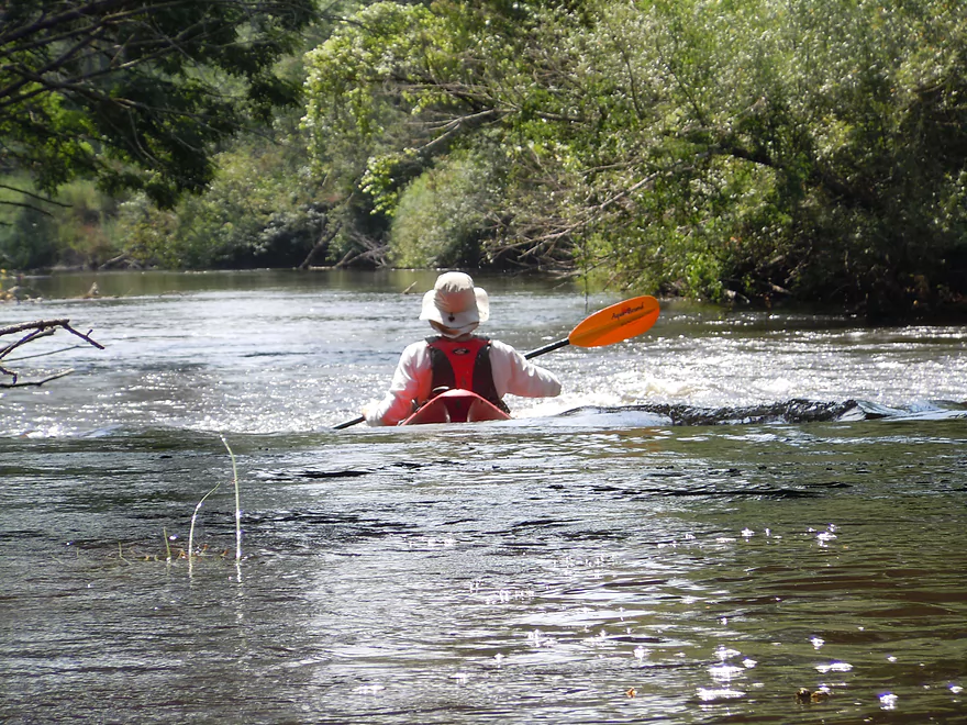
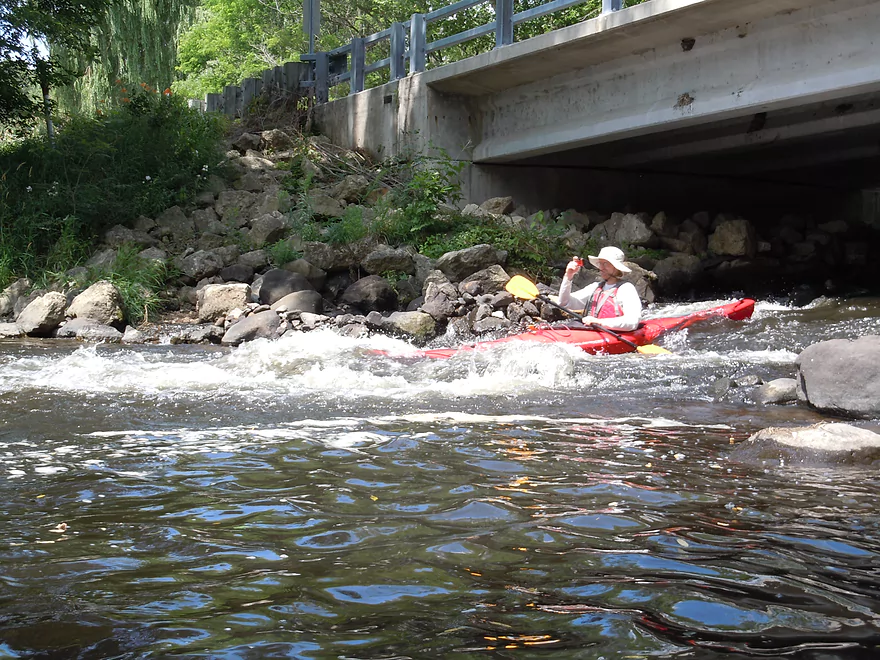
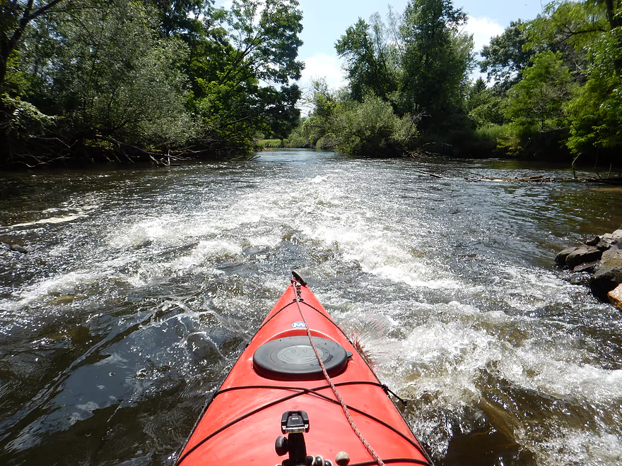
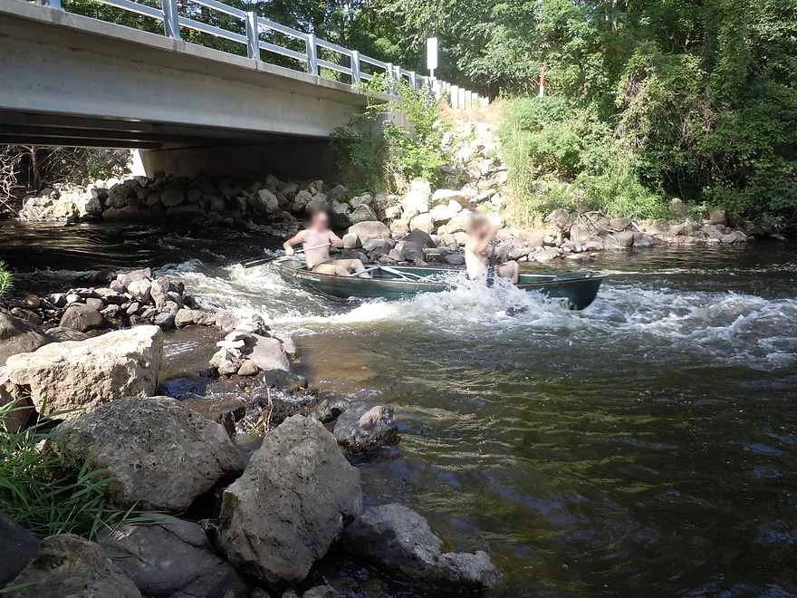
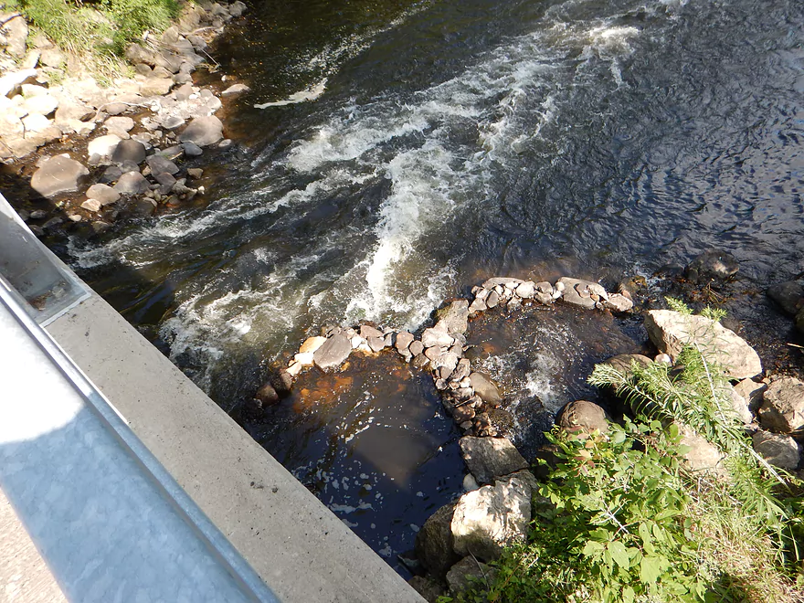
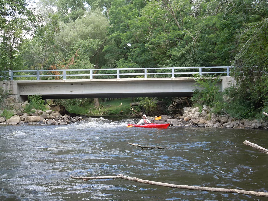
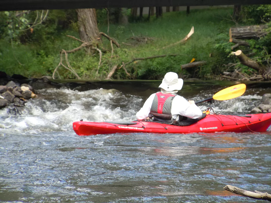
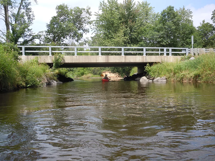
Soon after putting in, you’ll encounter one of the highlights of the trip in a class 2 chute under the Eagle Road bridge. Don’t underestimate this as it has a very good flow rate and height, but it is pretty safe as long you shoot this straight like an arrow. Somebody (the local livery perhaps) has funnelled the channel inward by stacking rocks on the side chutes in concentric patterns which was kind of cool.
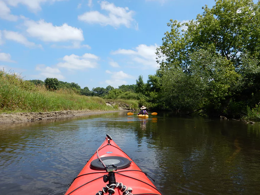
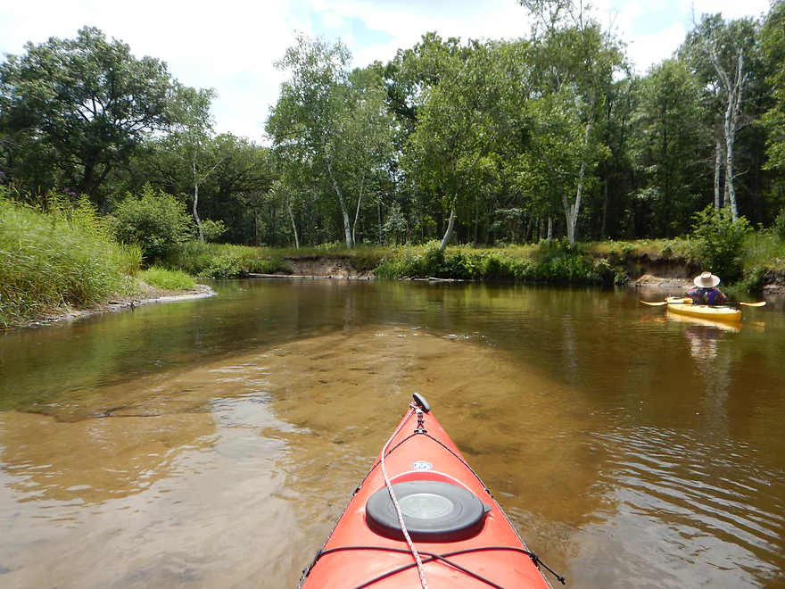
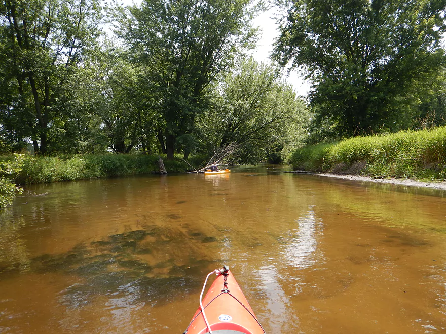
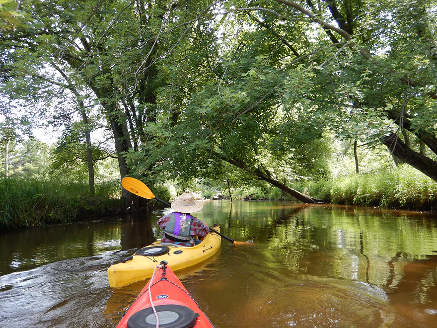
From Eagle Road to Hwy J is a pretty open section with sandy banks and attractive prairie flanking the river. In this section, you’ll see one of the few houses on the trip. This is a pretty good wilderness paddle, but you will probably encounter your fair share of paddlers as this is the most popular segment on an already popular river (the upstream segments are superior though).
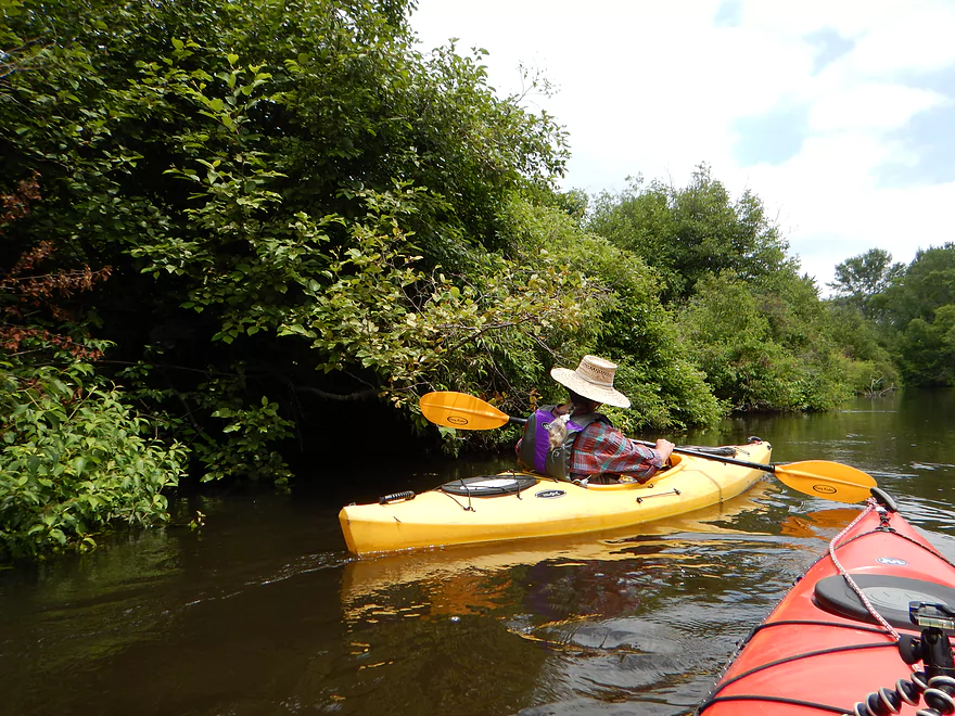
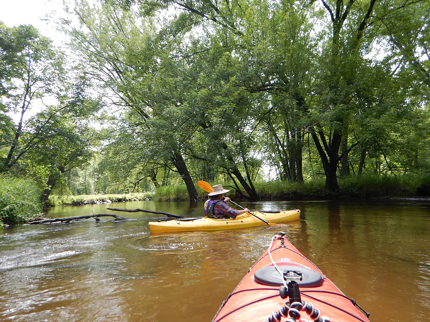
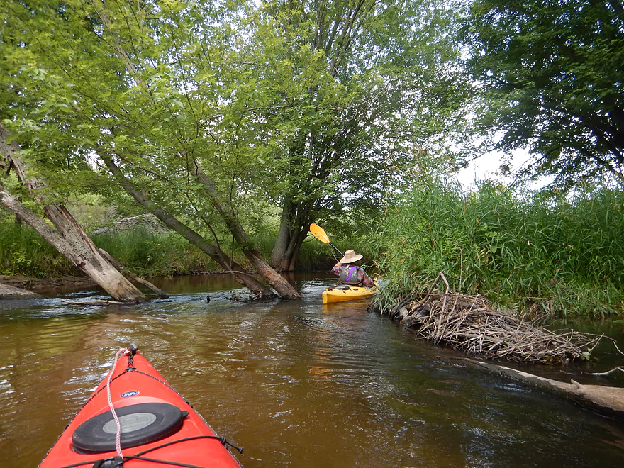
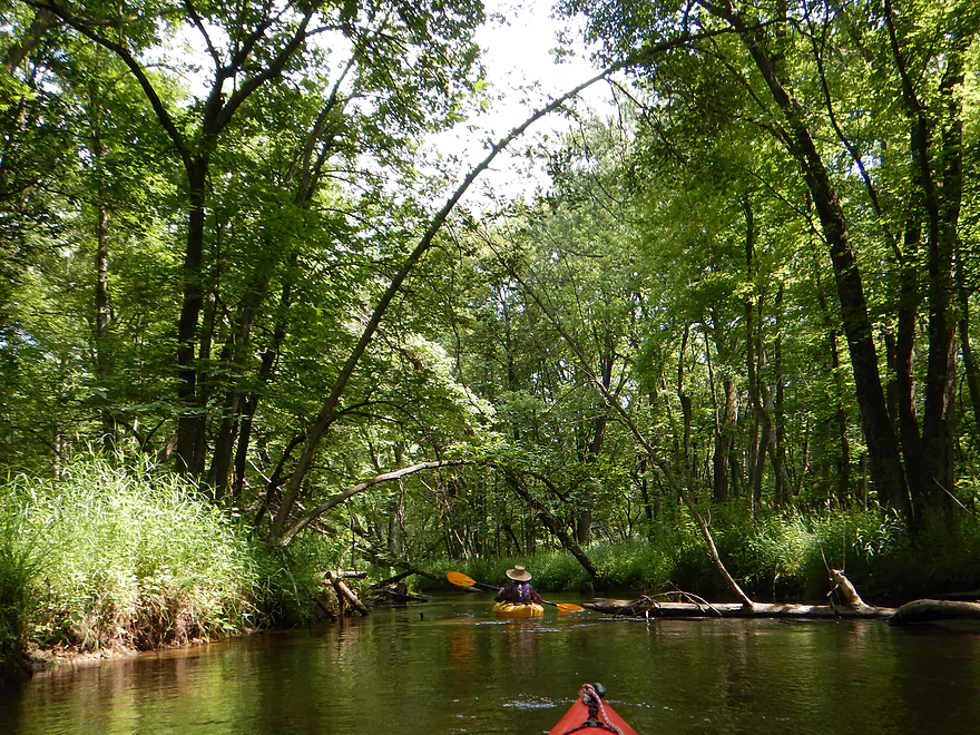
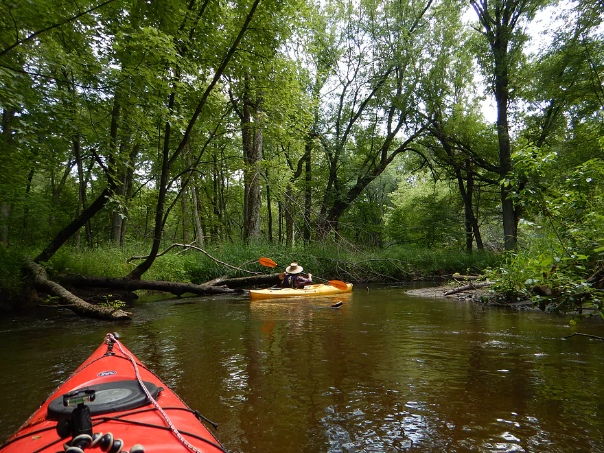
Following the J bridge, the river changes for the better. This is a much more wooded section and immediately after J was a terrific line of overarching trees creating a cool canopy effect. The water gets much more shallow which clears things up and you frequently get nice views of the sandy substrate below. The water quality wasn’t bad on the upper stretch but was often so deep that it was hard to see through, so this was a nice change of pace. This stretch was sometimes open (which for me wasn’t as interesting), sometimes had nice hardwood banks and at times had a real up-north feel to it with dense alder-lined banks and tamaracks (deja-Namekagon).
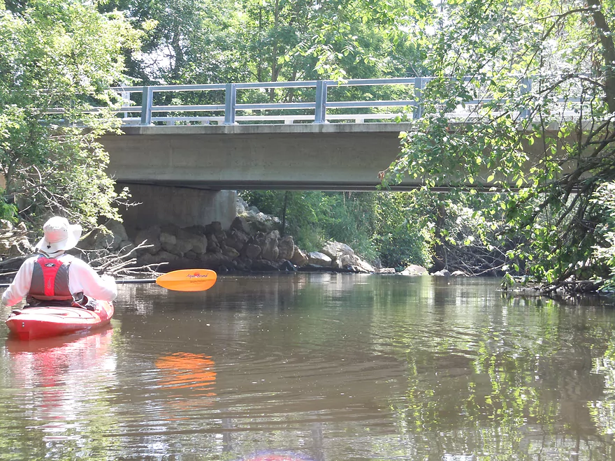
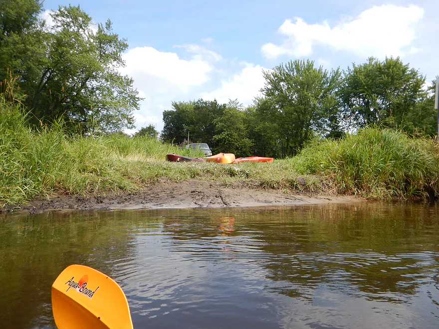
The first or second of three Hwy N bridges is a fine alternate take-out. The maps are kind of confusing, so let’s just call this the first bridge after Hwy J. The local livery has also given up with road names for these bridges and has chiselled numbers on them (this is #7). While this is a great bridge take-out, I suggest continuing on to the next mile (the next N bridge or #8), which was my favorite section of the trip.
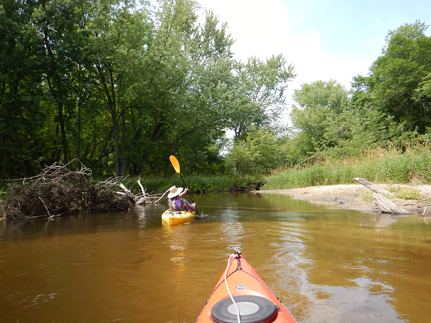
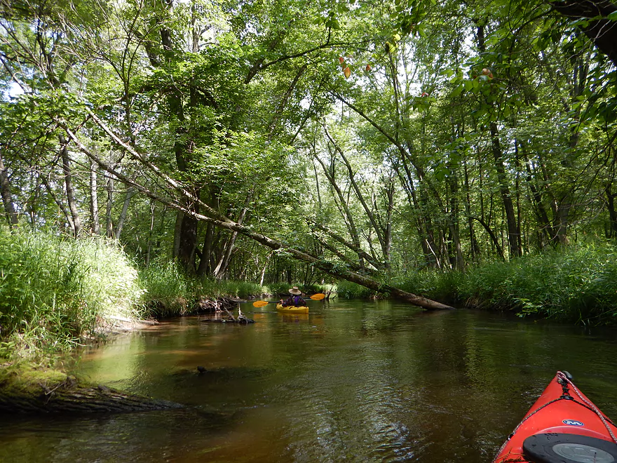
Apparently, the Mecan River decided it was flowing way too far to the west so recently rerouted and has a new channel to the east. Well, mostly…the river forks after bridge #7 and you’ll need to go left/east (the channel with the most water). This new channel flows swiftly through dense hardwoods and has nice clear sandy sections. Very cool. This recently (a couple of weeks ago) had been clogged with log jams…but the local livery just did a cleanup effort and it is now clear sailing all the way to the mouth on the Fox. Good work Mecan River Outfitters! There are still odd branches to dodge in pushy current and tight turns, but if you’re experienced, you’ll be fine.
I’m giving the lower Mecan 3.5 stars as it was a relatively easy paddle with few hazards (a great river for beginners, families and big unwieldy boats). It had a scenic put-in by the marsh, a fun drop, some nice prairies, little mud, at times good water clarity and dense forest sections…but occasionally wasn’t super exotic and not as interesting. Still a solid trip to put on most southern Wisconsinite’s paddling bucket list.
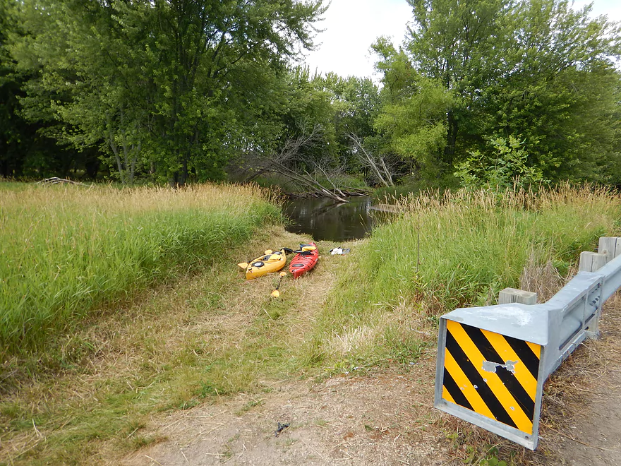
The put-in below the Germania Marsh dam is quite nice with good parking and scenic views of the marsh and nearby oak savanna. Access to the dam is via a small, obscure dirt road from the north (turn off from Hwy N). In the spring and fall, the DNR does gate this off. To access the river then, use the second parking lot by the gate and drag your boat 900′ to the water (see map) Obviously, it is easier to do this trip in the summer.
After the Hwy J bridge, Hwy N crosses the river twice. Both bridges are good take-outs but for this trip I chose the second N bridge. Good parking and launch area, but no outhouse.
Mecan River Outfitters services parts of the Fox River and of course the Mecan River, but they do charge extra to service the far upper Mecan. For bike shuttlers, this would not be a difficult route. Six miles and no serious hills to deal with. There is a half mile of gravel biking to access the dam, but this should be tolerable.
No log jams nor hazards. Well, a class 2 drop, but that is a straight shot under Eagle Road–very easy and pretty fun.
There is no local gauge, so I used the 10 Mile Creek one which is not ideal, but will give you a general idea of where things are at. In talking with the local outfitter, it appears this section of the river never gets too low to run, but does get too high (mostly in the spring or after a heavy summer rain). If in doubt, call Mecan River Outfitters.
The depth for this trip was surprisingly deep (despite being average to below average for flow rate). Quite the contrast to have a relatively narrow channel, yet the depth being almost consistently 3-5 feet.
The current is above average, with the last mile being pretty zippy and you had to be on your toes not to be pushed into trees.
Many typical southern Wisconsin animals: great blue herons, clams, painted turtles, ducks, a green weevil, damselflies, dragonflies, a large pelican flock at the marsh and a huge mud dauber colony (under the first Hwy N bridge).
Highlight runner-up #2 was a really cool ichneumon wasp depositing eggs in a tree (it’s at the end of the video).
Highlight runner-up #1 was a huge gang of young leopard frogs floating on a mud flat. They would wait for insects to burrow up from the mud…and, like a polar bear waiting for a seal to surface, they would eat them up.
The winning highlight was at the Marsh where we saw an osprey smash into the water from a great height…disappear underwater for a while…then resurface and take off with a fish.
Detailed Overview
Generally speaking, the further upstream you go on the Mecan, the better. Upper Mecan segments tend to have less mud, better current, better clarity, and more attractive shorelines.
- Mecan Springs to 9th Ave: 1.4 miles.
- Mecan Springs Boat Launch to Hwy GG: 0.6 miles. The river starts as a spring-fed lake sandwiched between two moraines. This is a neat lake paddle with clear water and visible springs located mostly along the western end. Trip length can be expanded by 1-2 miles if you explore the various bays throughout the lake.
- Hwy GG to 9th Ave: 1.4 miles. The first mile of the river has a few snags to dodge, but is super scenic with nearly perfect water clarity.
- 9th Ave to Hwy 21: 2.3 miles. Satellite maps indicate there could be many logjams and portages.
- Hwy 21 to Cumberland Road: 2.3 miles. Satellite maps indicate there could be many logjams and portages.
- Cumberland Road to 11th Ave: 3.9 miles. A great section with fast current, clear water and scenic white pines. A few logjams to portage but not bad.
- 11th Ave to Hwy Y/JJ: 3.7 miles. A fantastic section and my favorite on the entire river.
- Hwy Y/Dakota to Dixie Ave: 5.4 miles.
- Hwy Y to 14th Ave: 2.8 miles. An excellent section with white pines, tamaracks, narrow twisty turns and crystal clear water.
- 14th Ave to Dixie Ave: 2.5 miles. While not as good as the previous leg and more open, this is still a good stretch. This includes the "Mecan River Pine-Oak Forest State Natural Area".
- Dixie Ave to Hwy 22: 4.5 miles.
- Dixie Ave to Dover Ave: 2.0 miles. An ok section, but not as good as upstream sections. Even more open and slower, with far fewer pines.
- Dover Ave to Hwy E: 1.8 miles. River starts to become less interesting but is still ok.
- Hwy E to Hwy 22: 0.7 miles. Nothing special about this section. Open and somewhat simple.
- Hwy 22 to Germania Marsh Dam: 5.8 miles.
- Hwy 22 to Duck Creek Road/Electric Fence: 4.2 miles. More open and not as interesting, but the brisk current and good clarity are enjoyable.
- Duck Creek Road/Electric Fence to Dam: 1.6 miles. River slows and empties into a mile long shallow marsh. The Germania Marsh features nice scenery and good wildlife. Take-out is on a small access road off Hwy N.
- Dam to Elk Road: 6.3 miles. The most popular section on the Lower Mecan.
- Dam to Hwy N: 5.2 miles. River turns into a flowage pond and marsh. Take-out is on a small access road off Hwy N.
- Hwy N to Elk Road: 1.1 miles. The river completely moves east, creating a really cool corridor.
- Elk Road to Hwy 23: 2.4 miles. Traditionally a section with many logjams, but it does get cleared out periodically by the local livery. Hwy 23 is a poor access option.
- Hwy 23 to Hwy C: 2.7 miles. Again, this usually has logjams but they are often cleared out by the locals. Hwy 23 is a poor access option.
- Hwy C to Mouth: 1.1 miles. Simple open stretch leading to the Fox River.
- Mouth to the Princeton Locks: 3.1 miles. An uninteresting stretch on the Fox River.
For further information on the Fox River, see my Fox River review.
Trip Map
Overview Map
Video
Photos Size:
I enjoy this section of the mecan river. Mecan river outfitters is a nice option for beginners. They offer rentals as well as shuttle services. Nice to avoid having to take 2 vehicles or bikes. The river is well maintained and easy for all skill levels.