
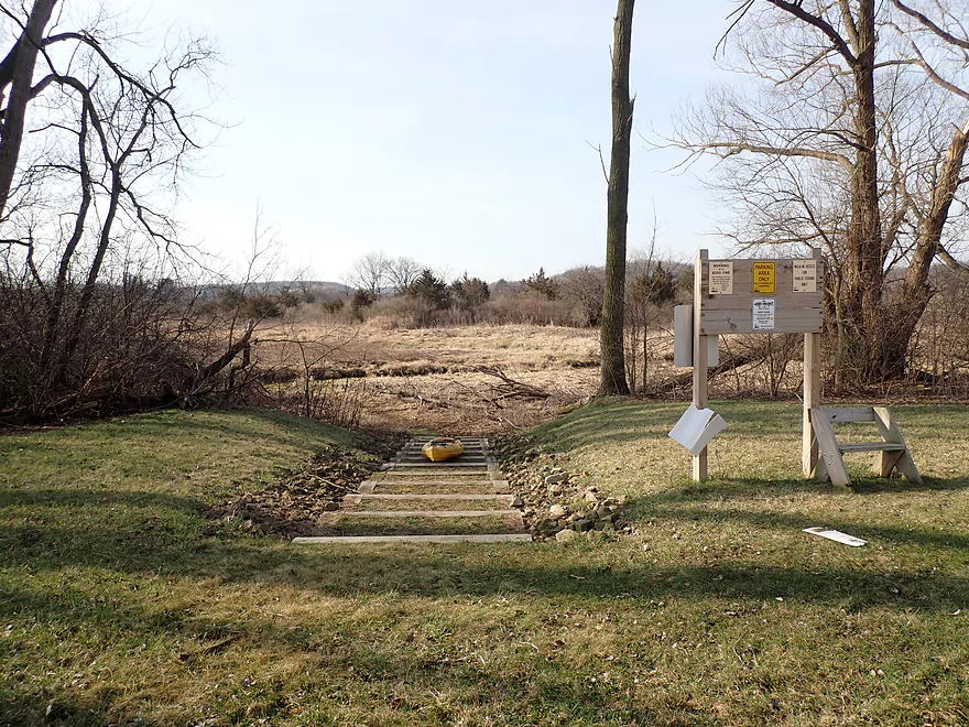
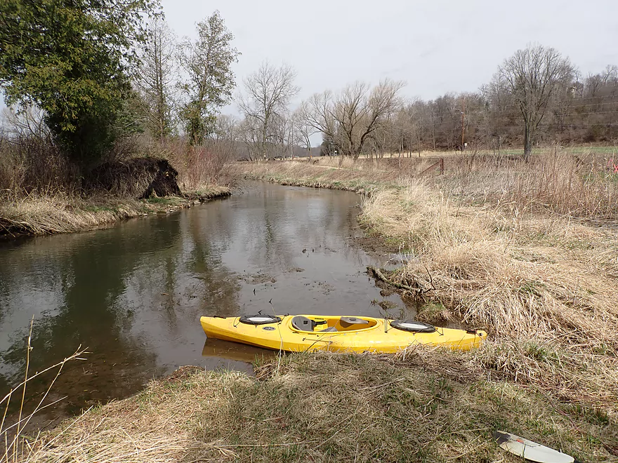
Putting in at Cross Plains (by Kwik Trip)
Good put-in
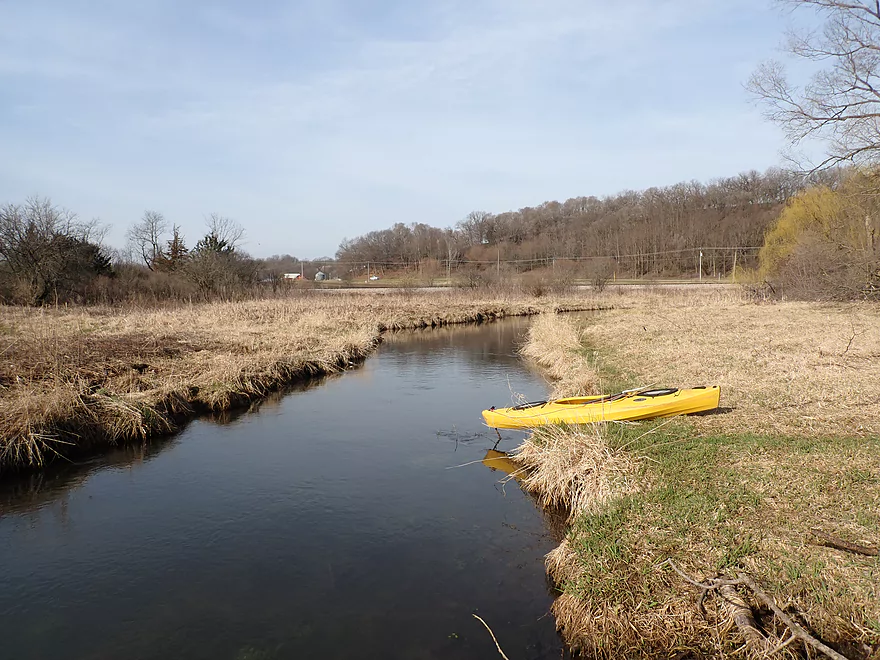
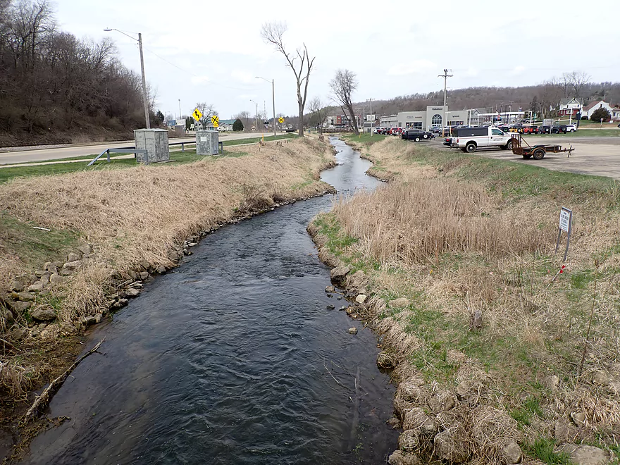
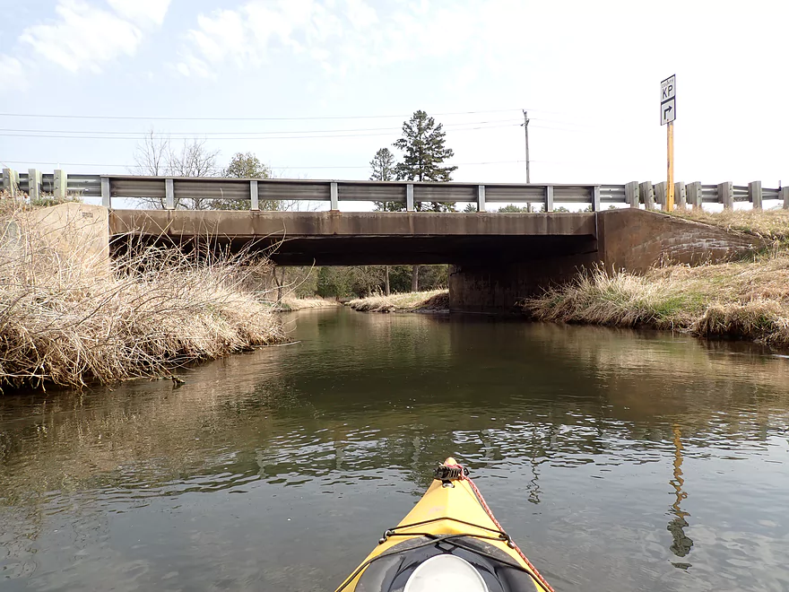
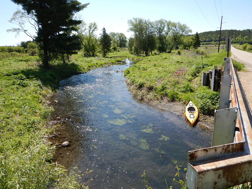
Hwy P
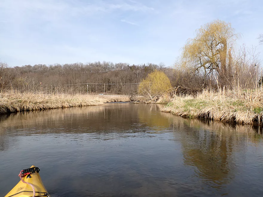
View from bridge
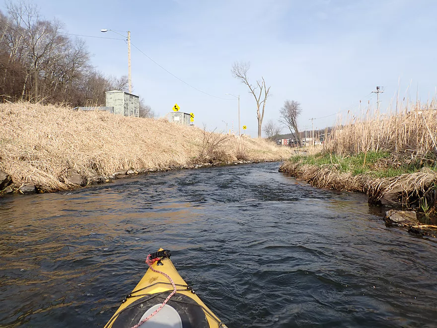
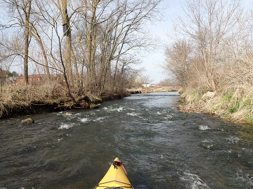
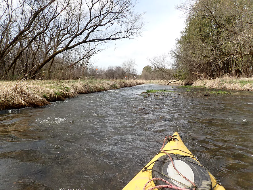
Fast current
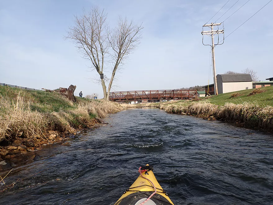
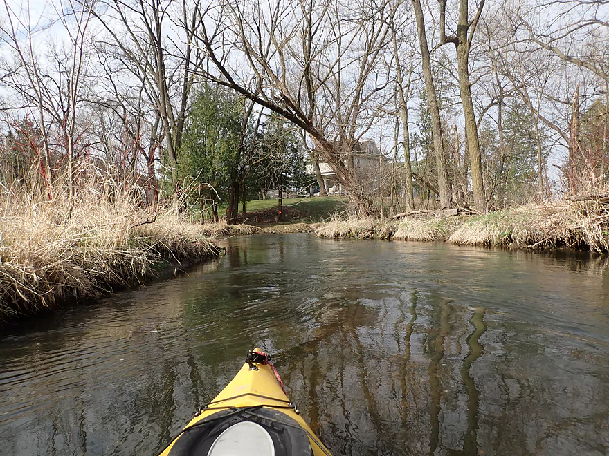
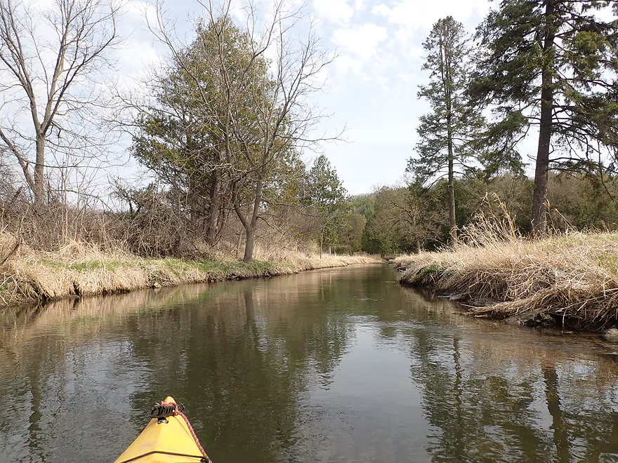
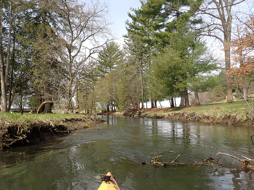
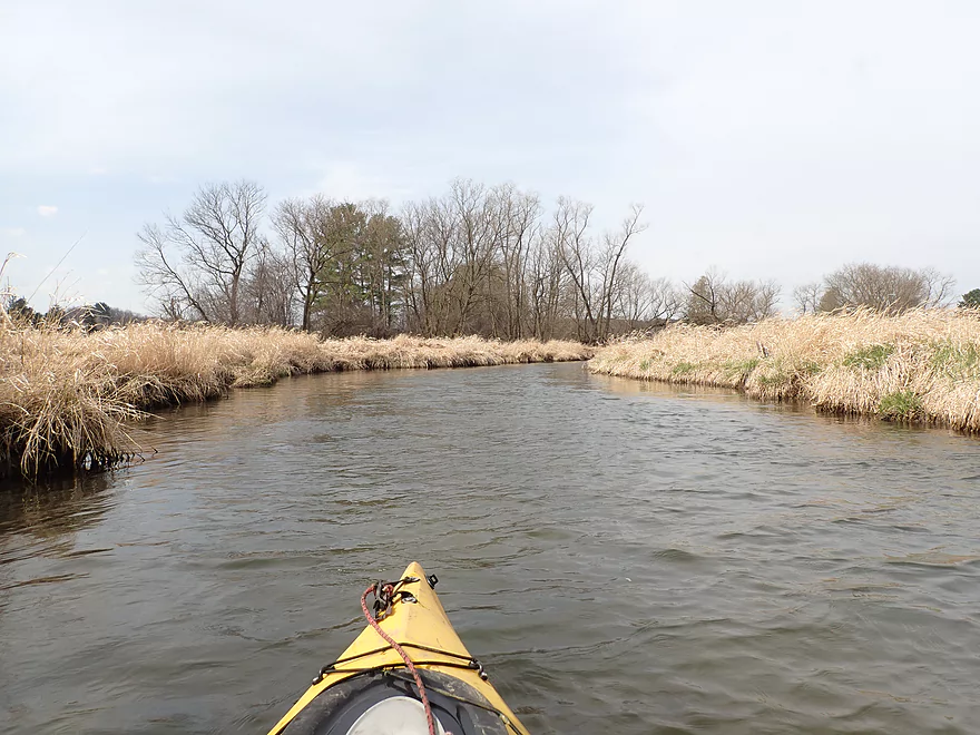
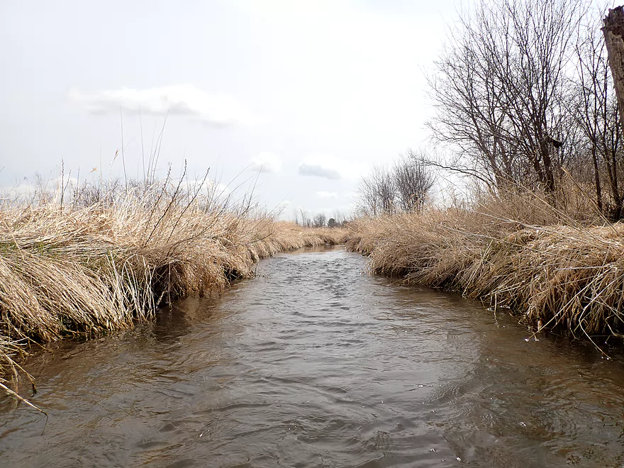
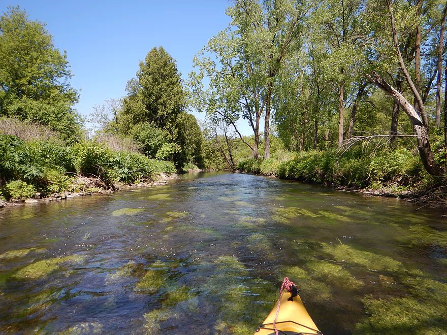
Nice stretch through Cross Plains
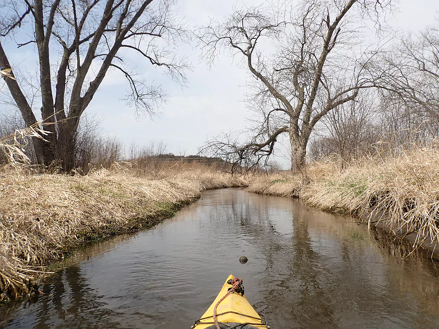
Ice Age Trail parallels the creek
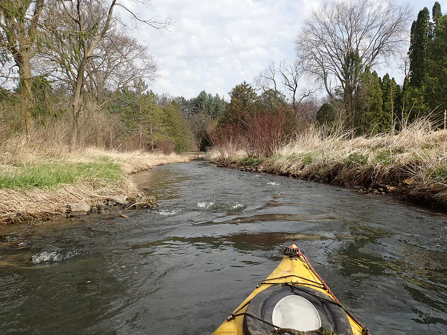
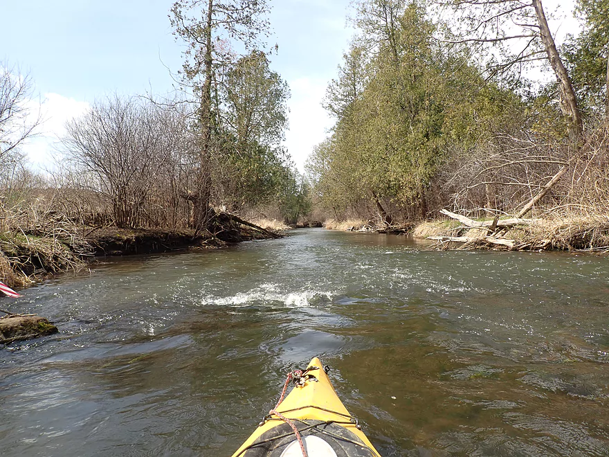
Fun little section of rapids
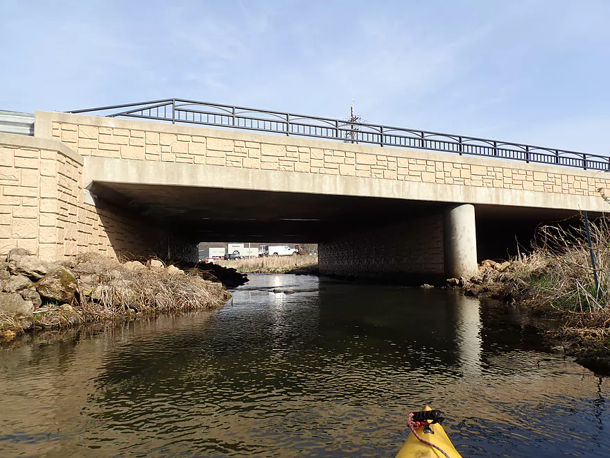
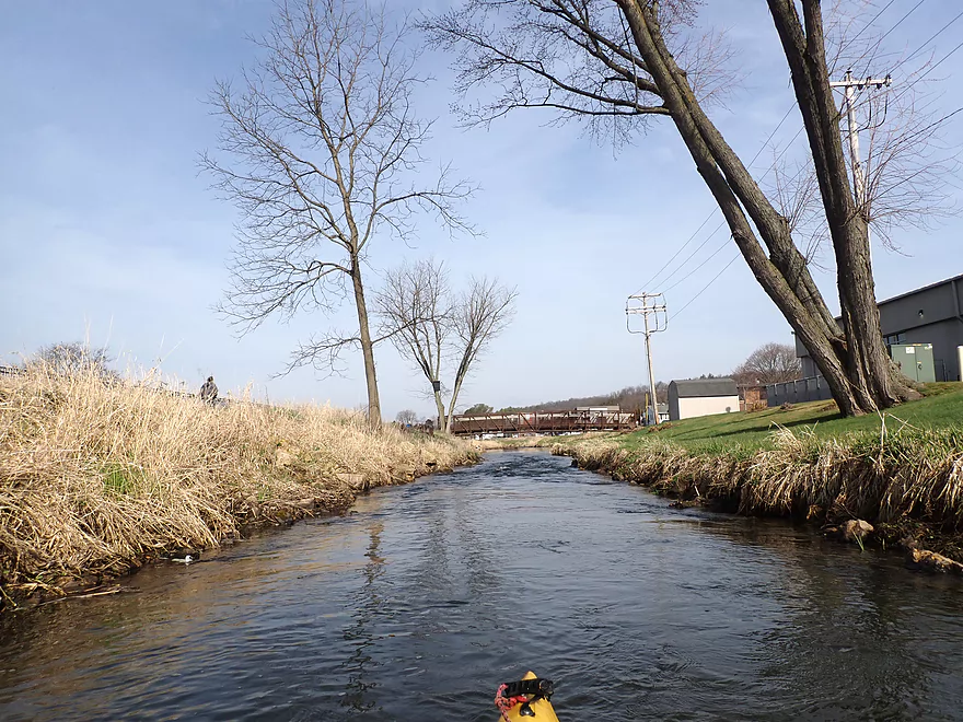
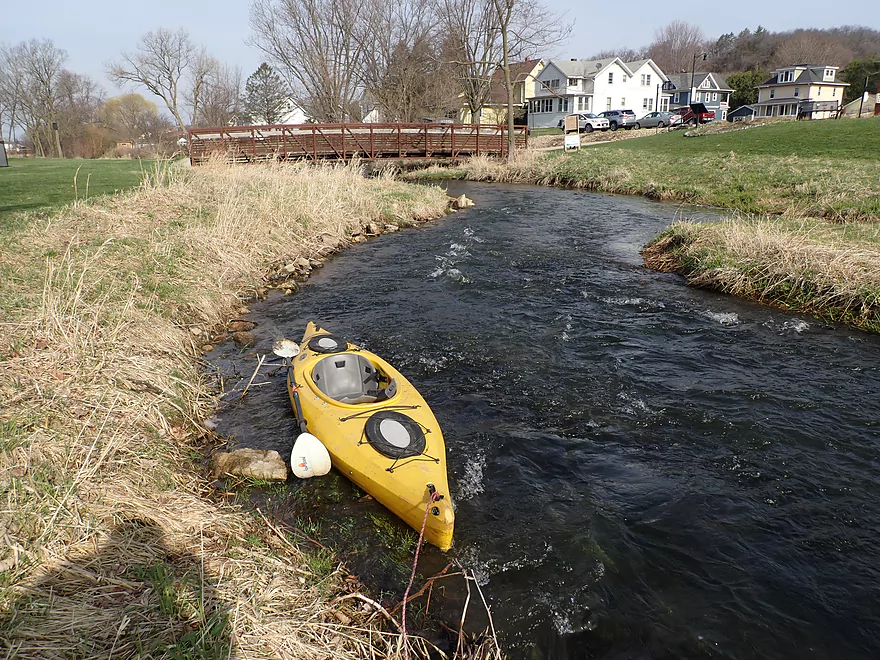
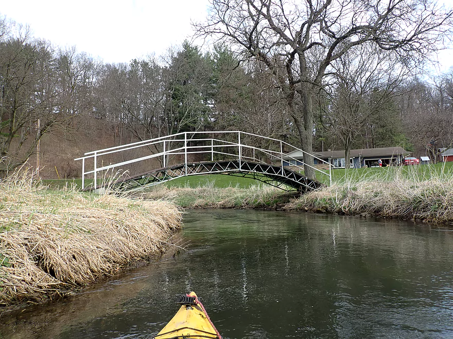
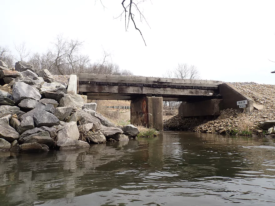
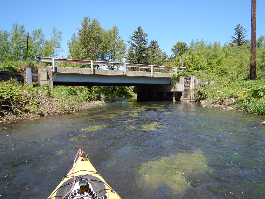
View from bridge
Another Ice Age Trail bridge
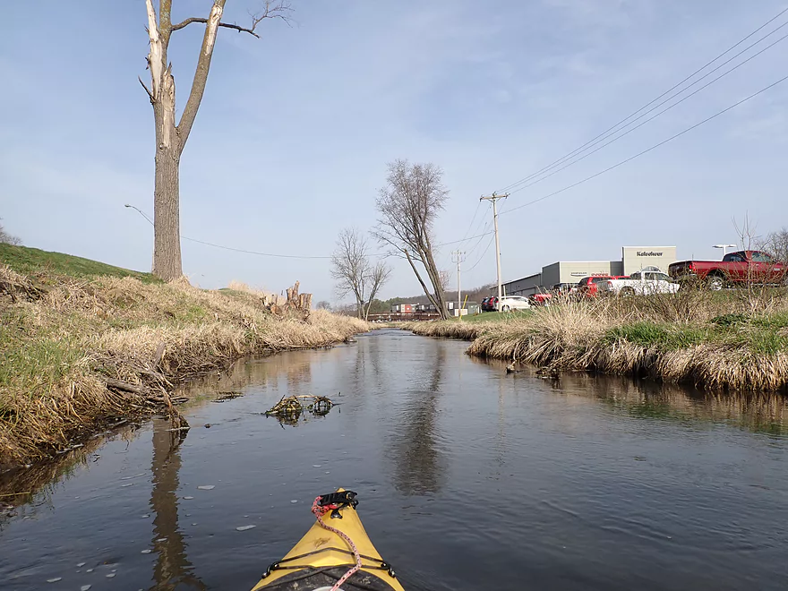
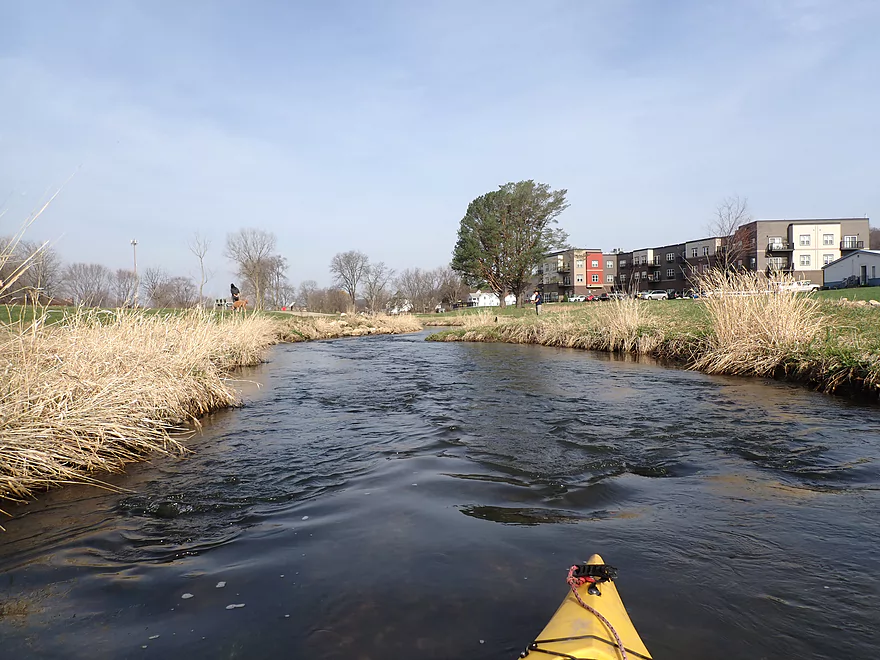
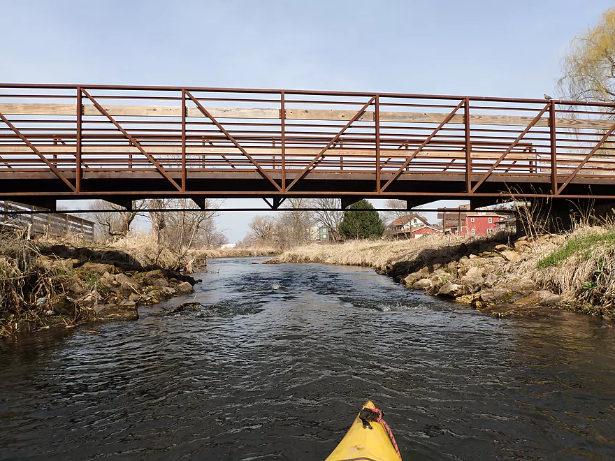
Market Street
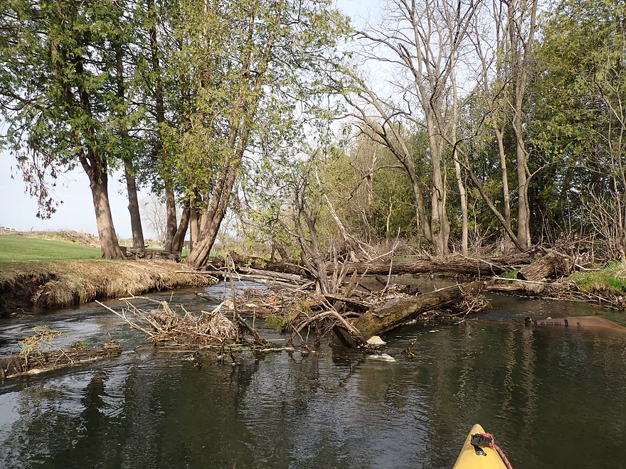
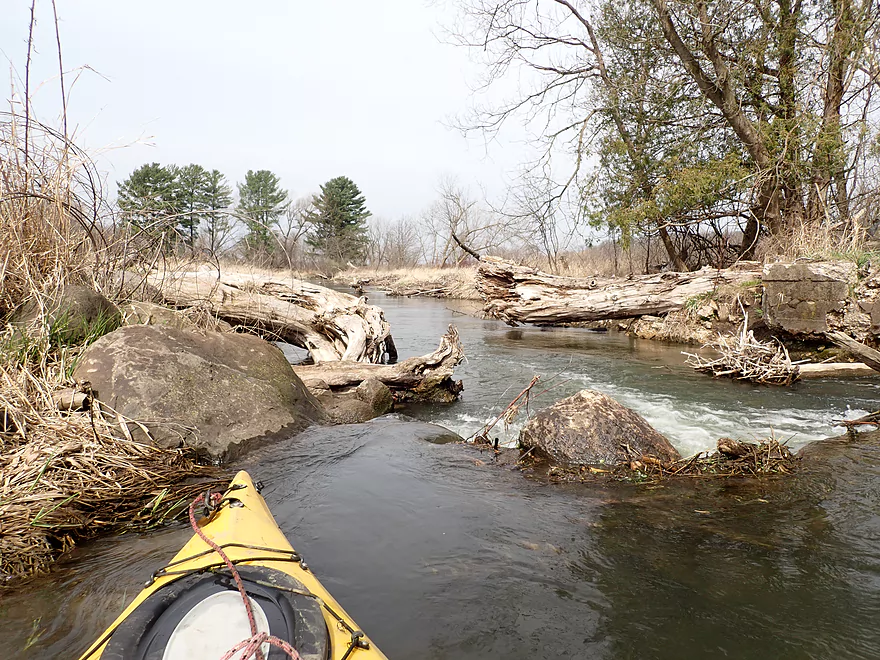
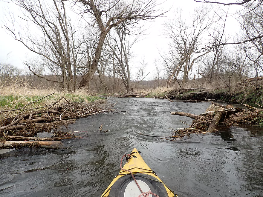
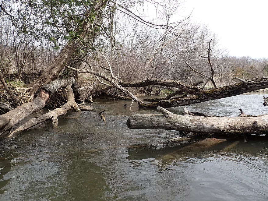
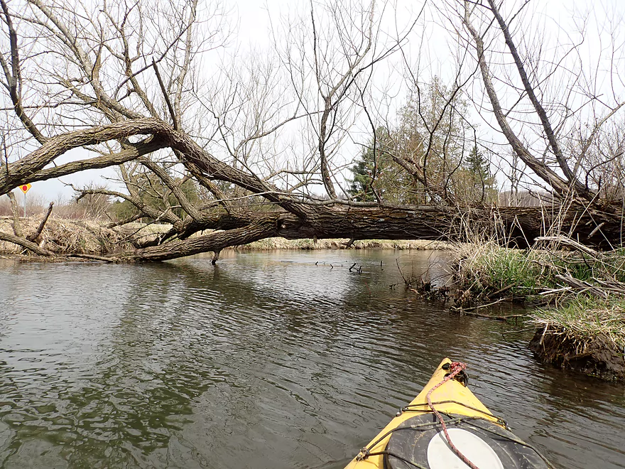
First and only significant logjam (I squeezed under, but it can be portaged on the left)
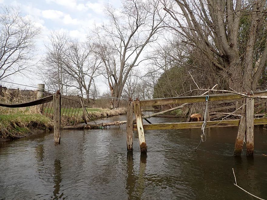
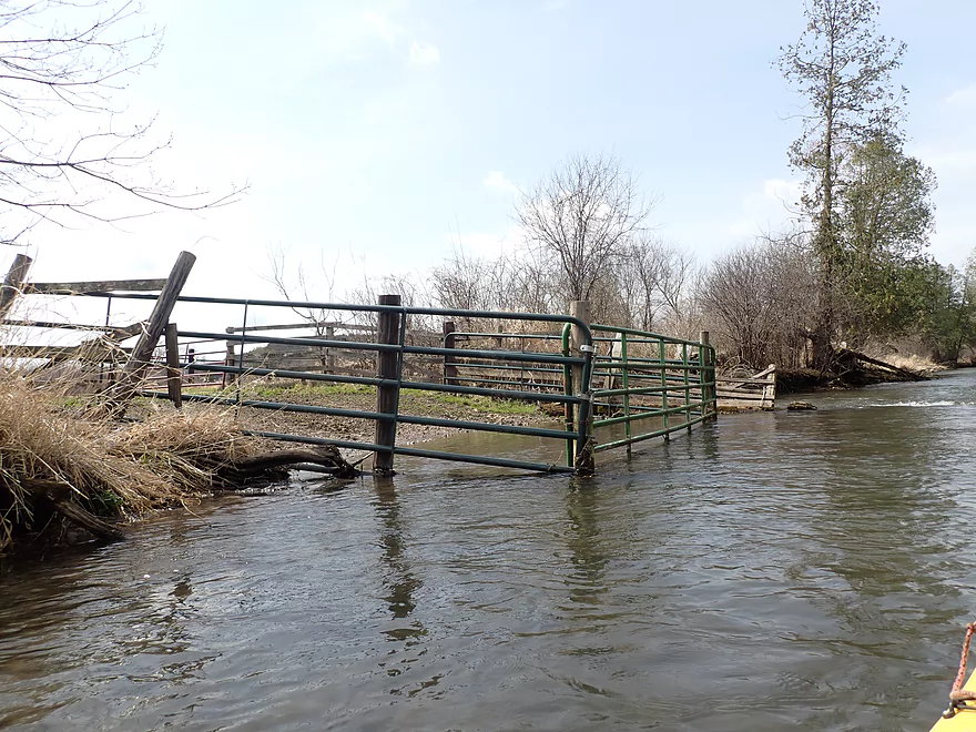
Old swing gate…was able to lift this over my head
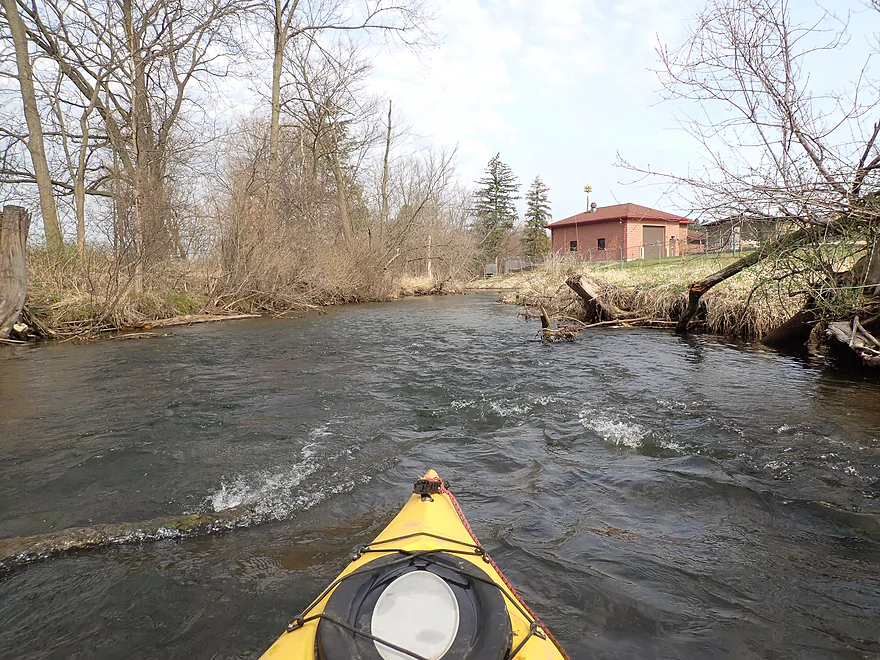
The Cross Plains sanitation plant
Hwy 14
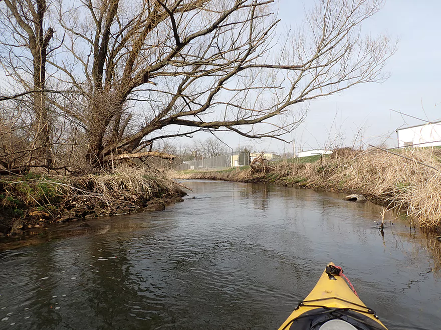
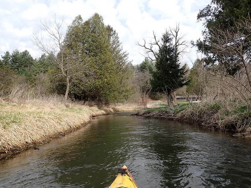
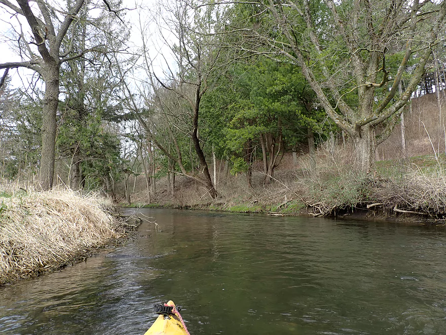
The next half mile has a lot of nice pines and cedars
Trail bridge on the outskirts of Cross Plains
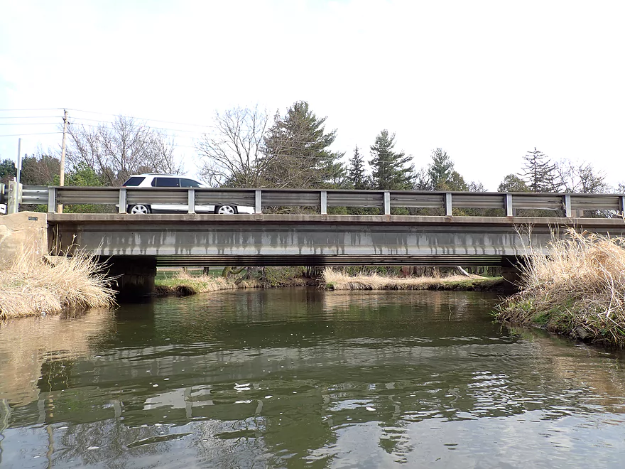
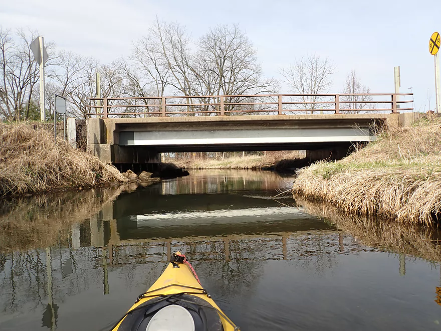
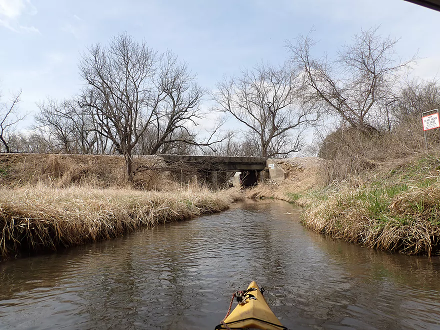
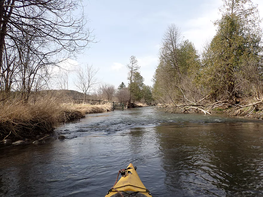
Hwy 14 again
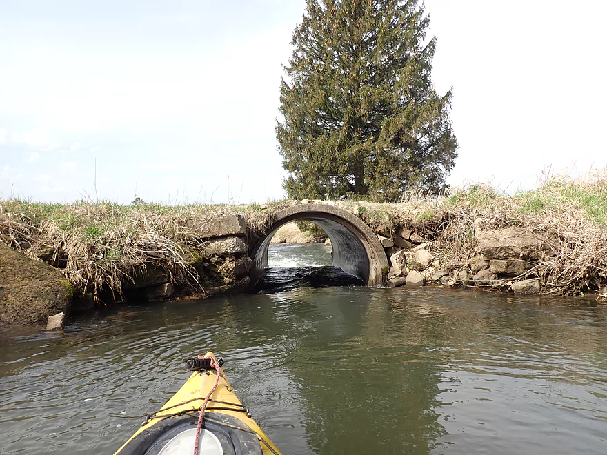
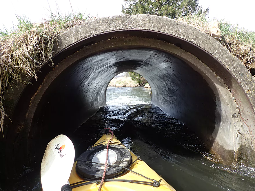
Farm culvert
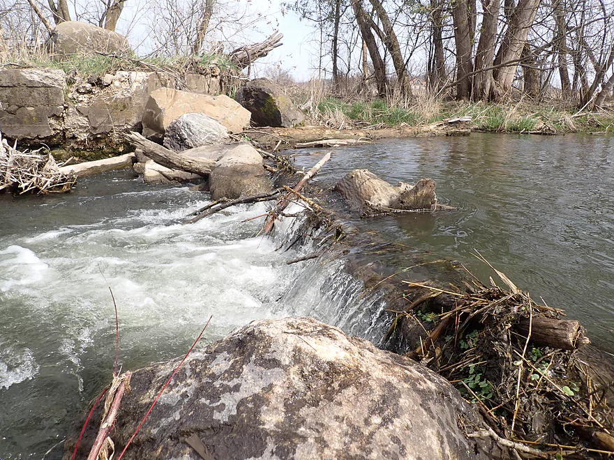
Fun little drop at the end
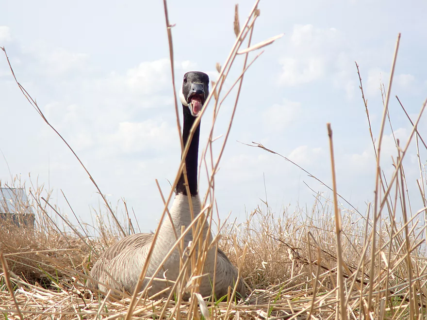
An unhappy goose
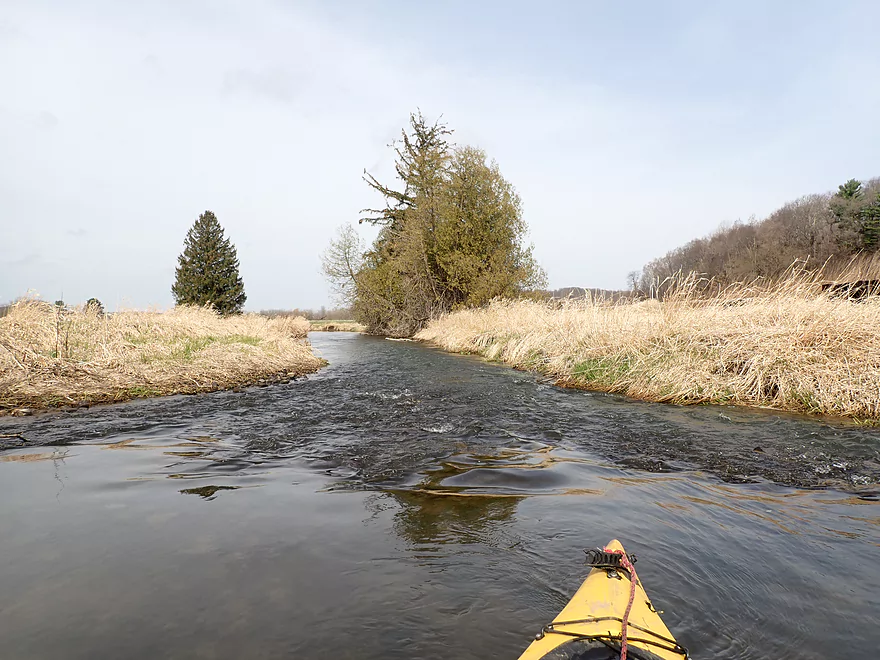
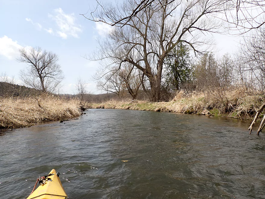
Entering a more undeveloped stretch of creek
Looks like remnants of an old bridge
Maybe a one foot drop
Current slows after Hwy 14, but still some riffles
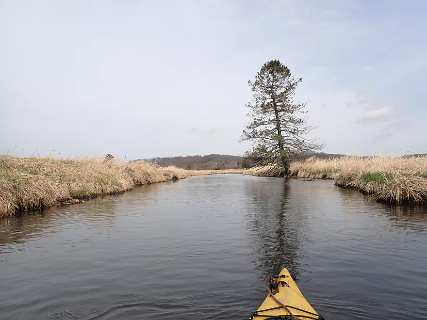
Passing a side creek
Looking up at Festge County Park
He caught a fish just as I ran these rapids (Black Earth Creek is managed for trout)
A beaver chewed a navigable gap through this logjam
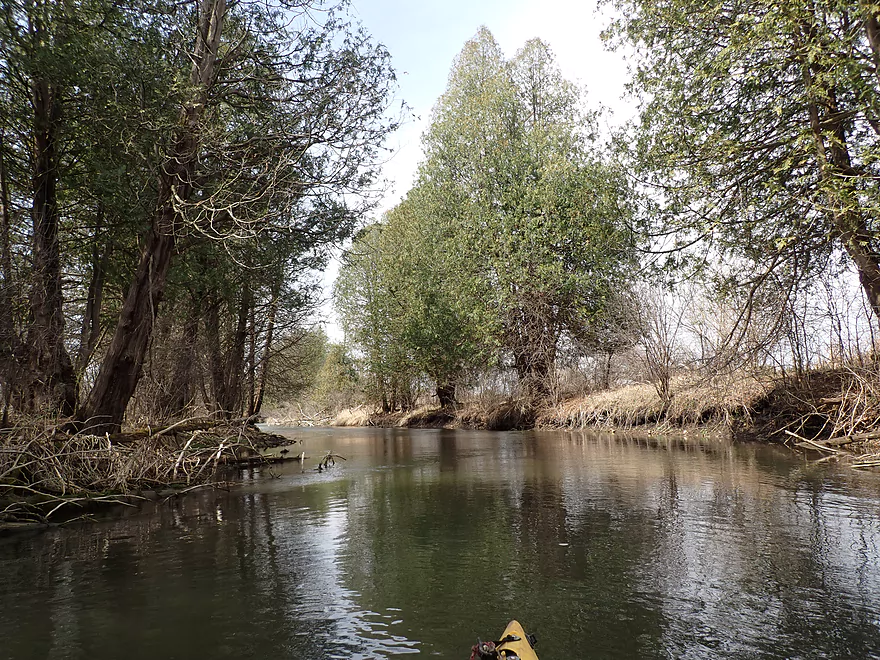
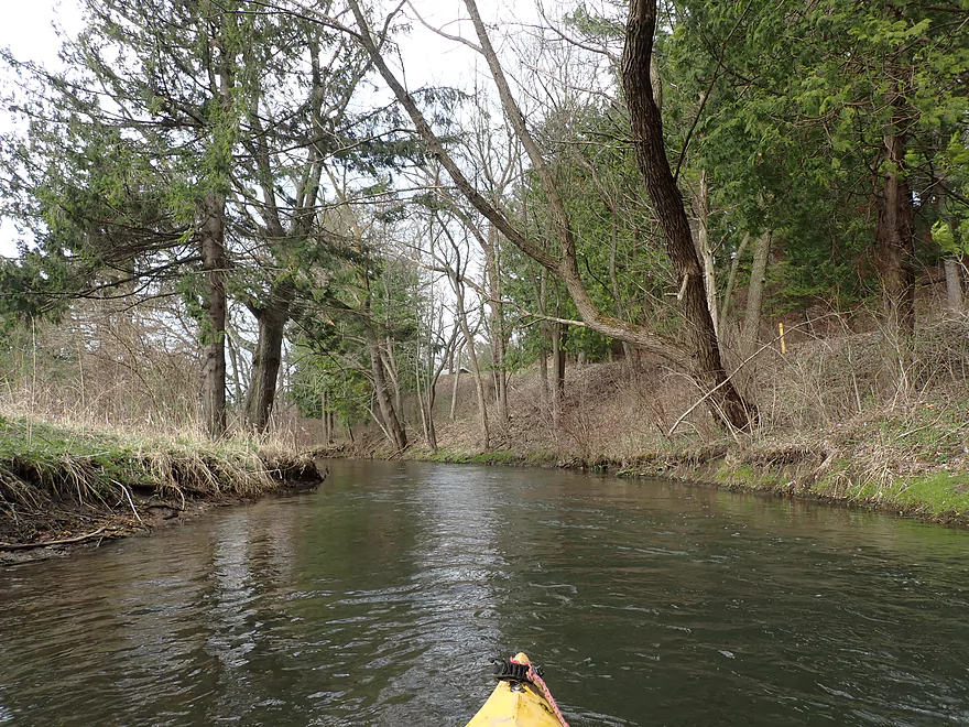
Some nice white cedars
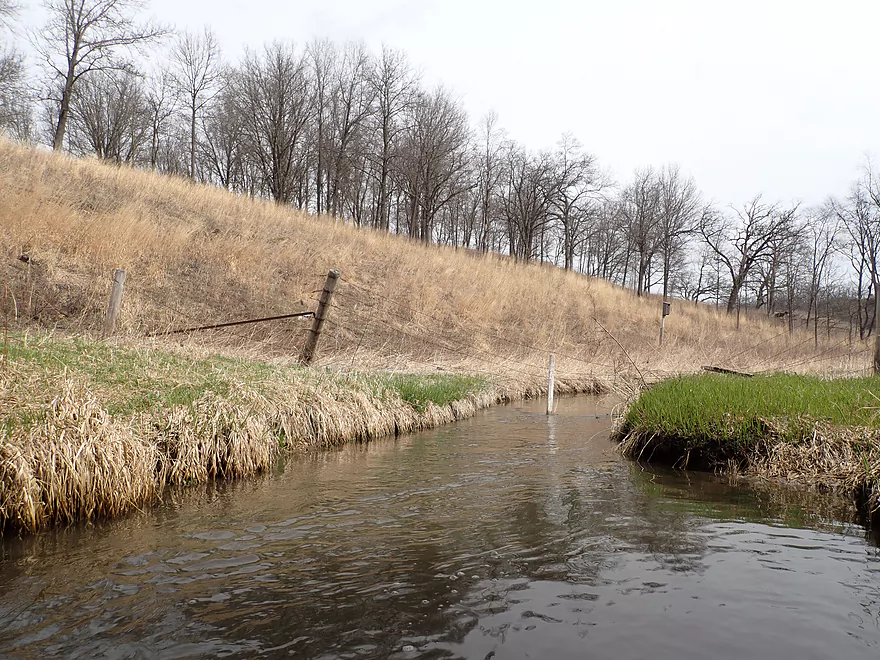
Nice improvement…a fence used to block the creek here
Checking out Garfoot Creek…nice paddle
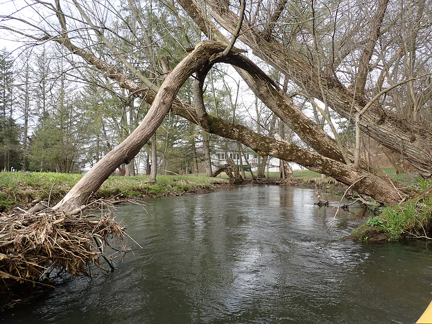
I was able to duck under this tree
Last stretch of light rapids
Scherbel Road is an access option
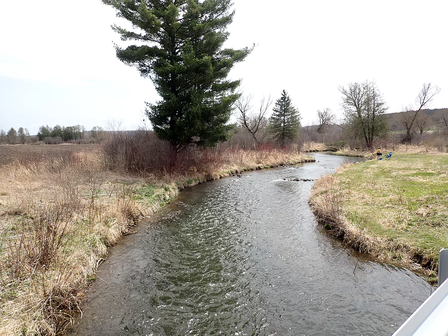
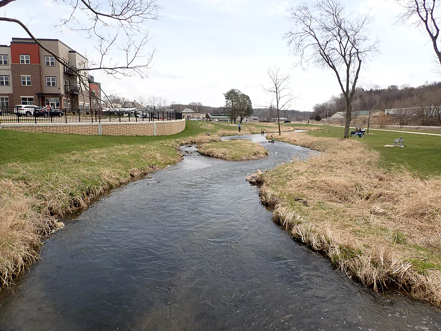
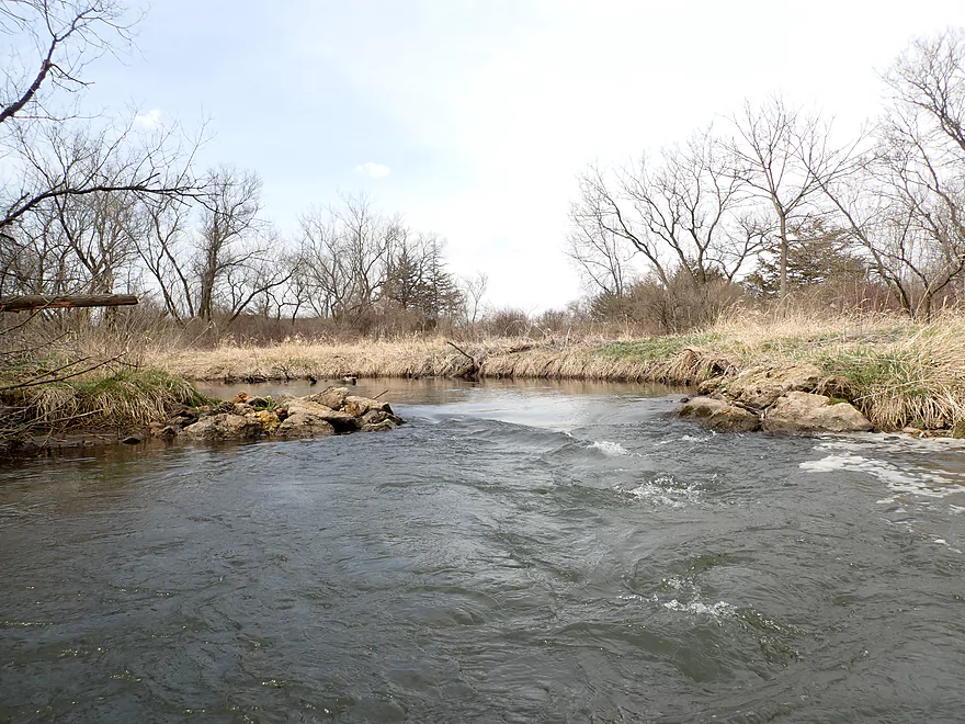
View from bridge
Same view but seven years ago (Creek was cleaner then)
Nice stretch after the bridge (photo from 7 years ago)
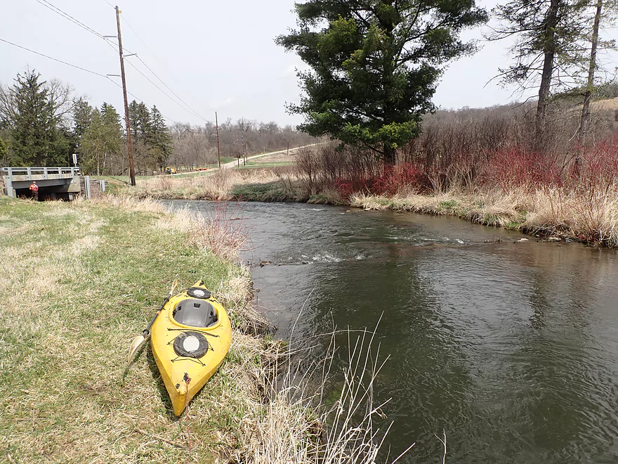
Taking out at Salmo Pond County Park
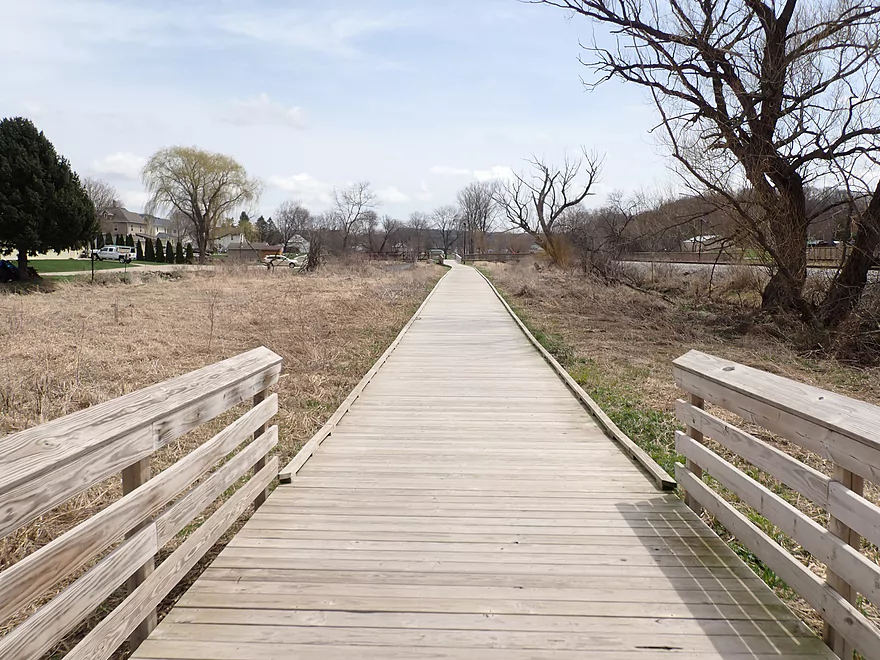
Part of the bike shuttle back was on the Ice Age Trail
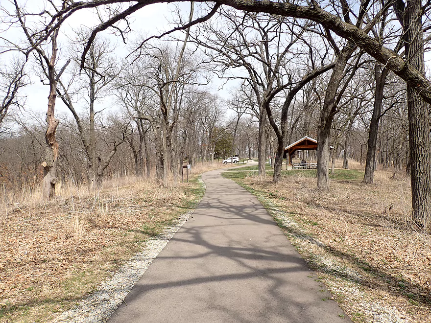
Checking out Festge Park after the trip
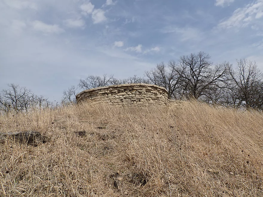
Main feature is a nice overlook
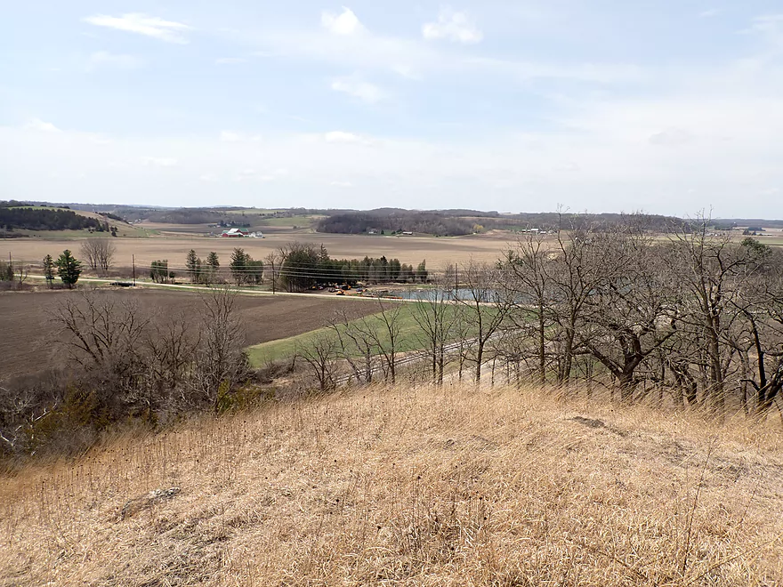
Vista overlooking the creek valley and Salmo Pond
Black Earth Creek – Cross Plains


Black Earth Creek is a tributary of the Wisconsin River located just west of Madison. I first paddled and wrote a report about it in 2014. Since then the creek coincidentally become quite popular with kayakers, especially the leg from Olson Road to Mazomanie. Over the years, I’ve paddled and reviewed almost the entirety of the creek, but I had always excluded the Cross Plains leg. My concern had always been fences and logjams, but the latest satellite images looked promising so I decided to go for it.
There are multiple options to launch a boat in Cross Plains (especially along the Ice Age Trail), but I opted for an obscure fishing park on the east side of town which allowed for the longest trip. The first mile was fairly open and flowed by the Ice Age Trail and through a newer development. Here the current was the fastest and there were a number of minor rapids. Many hikers were on the Ice Age Trail and they seemed surprised to see me on the creek. The bottom consisted of a nice gravel substrate–a byproduct of the last Ice Age when a large river of meltwater flowed through the valley.
Past Market Street, I encountered a pair of obstructions. First there was a downed tree that I barely ducked under. I debated portaging, but it would have been over somebody’s lawn and the owners were on their porch. Just past the tree was a dilapidated swing gate that partly blocked the river, but I was able to lift this over my head. Near the sanitation plant, I did pass a feisty muskrat that was attacking a turtle (who maybe got to close too its den?).
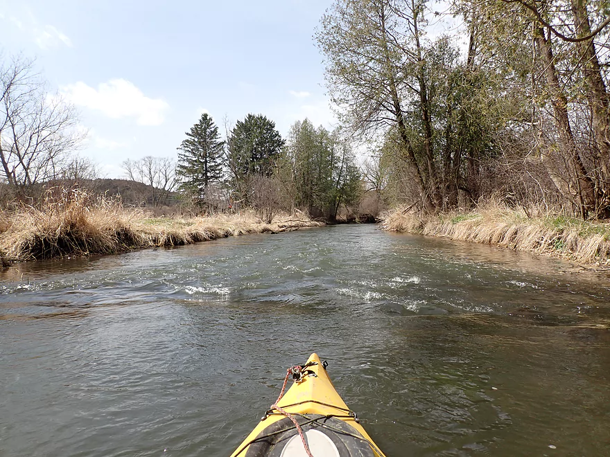
The creek then made a loop north of Hwy 14. This was another great leg of the creek with a number of cedars growing over the banks. South of the 2nd Hwy 14 bridge, I left the town behind and entered farm country. This wasn’t so bad, as much of the creek here does have a buffer between it and the farm fields to prevent erosion.
Sadly, the creek has endured some massive floods in recent years that have damaged water and bank quality. When I did my Salmo Pond trip in 2015, the water clarity was almost perfect. Now while there were still some clear spots, the water was significantly more turbid and not as nice. Perhaps this was unlucky timing on my part and the creek clears up in later summer. On the flip side Black Earth Creek now has a higher average flow rate which makes paddling the upper legs much more viable. Ten years ago, the upper creek would have typically been too shallow to paddle.
The second half of the trip wasn’t as interesting as the town leg, but was still nice. I did encounter several trout fishermen and there were nice vistas of restored prairies on bluffs (Festge Park and Picnic Hill).
Something that really impressed me was the lack of obstacles. While yes, I had that major squeaker by Market Street, I never once for the entire trip had to get out to portage. I had feared much worse. In one case it appeared a farmer had removed a fence that had blocked the creek, and in another a beaver had gnawed open a gap in a logjam.
I ended the trip at Salmo Pond, which while typically a nice park and kayak access, was a mess because of construction. Hopefully this is completed by the time summer rolls around.
In summary this was a great trip that I highly recommend. While this leg may not have been viable (fences/logjams/depth) 10 years ago, it is now.
Sights included blackbirds, several flopping fish, and three muskrats. At one point it appeared a beaver had gnawed an open gap through a logjam (if only they would do this more often). The highlight was seeing a muskrat attack a large turtle (maybe a snapper).
Festge County Park: This county park sits atop a bluff right across from Salmo Pond and has a nice vista of Black Earth Creek. Many trees have been removed as part of a prairie restoration project.
Table Bluff: This is another bluff that overlooks the creek. It’s a longer hike than Festge Park but IMO has a nicer view.
Cross Plains Fishing Access: This great put-in option is located just east of the Kwik Trip. A public parking area is available and it’s just a short hike to the creek. Snacks and bathrooms are available next door at the Kwik Trip.
Alternate Put-ins:
- Cross Plains Ice Age Trail: The trail follows the creek in town and there are several trailhead parking lots you could launch from. These are ok options, but honestly I think the best plan is to launch by the Kwik Trip as that allows for a longer trip.
Salmo Pond County Park: This is a great access option. It was being resurfaced during my trip, but paddlers can make do or simply take out at the nearby road bridge. This park has outhouses, fishing benches, and a public parking lot. Technically this is a Dane County Park, so a Dane County Park sticker may be required, but I didn’t see any signs requiring one. If you’re worried about not having a sticker, you could simply take out on nearby Scherbel Road instead.
Alternate Take-outs:
- Kahl Rd: 4.2 miles downstream. This is a good add-on leg, but there might still be a few farm fences to deal with.
Bike Shuttle – Salmo Pond to Cross Plains: 3.1 miles with 43′ of ascent. Most GPS navigation programs will likely have you bike on Hwy 14, but I don’t recommend this as it is a fast/busy road. Instead swing south to KP which is a nice rural road and only 0.2 miles longer. When pedaling through Cross Plains, make sure to take the Ice Age Trail which is a really nice bike trail.
Logjams: There were a few logjams, but most were relatively easy to sneak past. The only noteworthy jam is located just downstream from Market St. I didn’t have to portage this, but I had to get super low to get under. Paddlers could easily portage this if they preferred. All in all, I was really impressed that I never had to portage once for the entire trip.
Current: The current is pretty fast, fun and riffly through the east side of Cross Plains. After Hwy 14 the Creek does slow quite a bit.
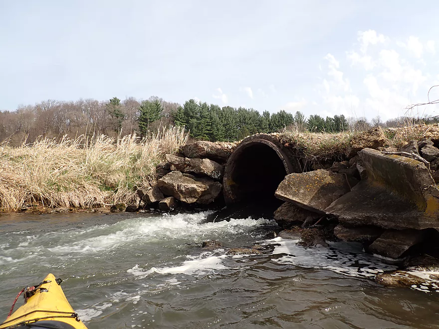
Rapids: There were a number of riffles in the first half of the trip, but nothing major. Just downstream from the 2nd Hwy 14 bridge, is a farm culvert that creates a Class 1 chute. A half mile later are the remnants of what looked like an old bridge. What remains is a one foot ledge that I thought was pretty easy to hop over. It would be an easy portage if you prefer.
Fences: There was only one fence (I marked it on the trip map). It’s a dilapidated swing fence that I was able to lift over my head without too much difficulty. There was visual evidence that there used to be more fences on the creek, but it appears the farmers thankfully removed them.
Trip Depth: 27 CFS per the Cross Plains Gauge. The following are rough depth estimates you can sort of use to plan an Upper Black Earth Creek trip.
- 0-15 CFS: Too shallow.
- 16-20 CFS: The Cross Plains leg will be very bumpy and you may need to walk your boat in a few spots. Clarity should be excellent. After Hwy 14, the creek becomes much deeper.
- 21-30 CFS. A good target range. Clarity won’t be as good.
- 31-40 CFS: A high depth, but likely viable for paddling.
- 41-50 CFS: Creek might be dirty and a bit pushy. Viable for experienced paddlers.
- 51+ CFS: Maybe too high for enjoyable paddling.
Detailed Overview
- Upstream from N. Birch Trail: The creek is small, but might be surprisingly navigable during high water.
- N. Birch Trail to Stagecoach Rd: 0.5 miles. Creek here is small and wooded with possible congestion and a few jams.
- Stagecoach Rd to Cross Plains: 2.0 miles. An intriguing prospect that may now be viable because Black Earth Creek has grown in size. Starts narrow, rocky and wooded then opens up. Maybe 2-3 logjams. Stagecoach Rd may not be a good access as a "No Tresspassing" sign is on one side of the bridge.
- Cross Plains to Salmo Pond: 4.3 miles. Nice stretch. Half of this leg flows by the community of Cross Plains. One fence and one logjam to deal with but not major.
- Salmo Pond to Black Earth Community Park: 4.2 miles. Several fences to deal with, but all in all, one of the more underrated legs on the creek.
- Black Earth Community Park to Olson Road: 4.5 miles.
- Black Earth Community Park to The Shoe Box Landing: 1.5 miles. Nice stretch that passes through the outskirts of Black Earth. Might be a few minor logjams to sneak past.
- The Shoe Box Landing to Olson Road: 2.9 miles. Pleasant open stretch. This is a common "add-on" leg for those wanting to do the popular Mazo trip, but as a longer trip.
- Olson Road to Walking Iron Park: 3.7 miles. The best and most popular leg on the creek. Much of it flows around the outskirts of Mazomanie and though a nice woods.
- Walking Iron Park to W. Hudson Road: 1.1 miles. A small but great section that is recommended as an add-on to an Olson Road trip. This doesn't receive as much upkeep so paddlers may encounter a logjam or two.
- W. Hudson Road to Blynn Road: 4.4 miles. An ok section but nothing special. This leg while once clear, may now have a few surprise logjams.
- Blynn Road to Mouth at Arena: 6.8 miles. Technically now Blue Mounds Creek, this is the weakest section.
Trip Map
Overview Map
Video
Photos Size:
Just paddled from Cross Plains to Scherbel Rd. Lovely paddle, with the exception of 2 full blockages closer to the takeout. The first we were able to get our boats over (no portage option, due to the dense brush on both banks).:The second was right near the takeout. It was impossible to get around so I paddled back upstream a bit in order to take out.
Thanks Rick for the notes and warning about the logjam. Hopefully locals clear that out.