
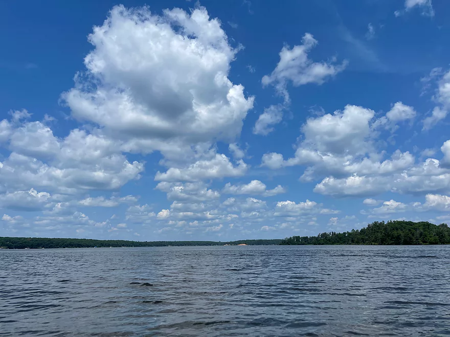
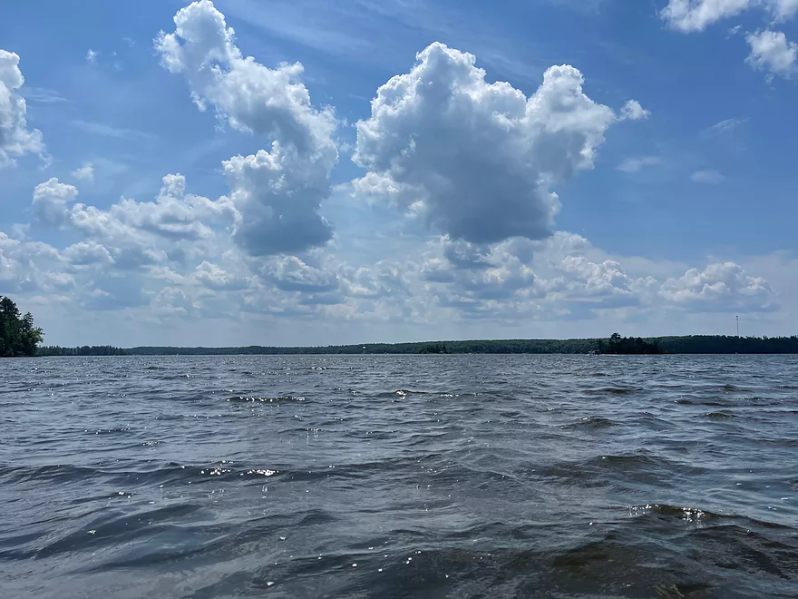
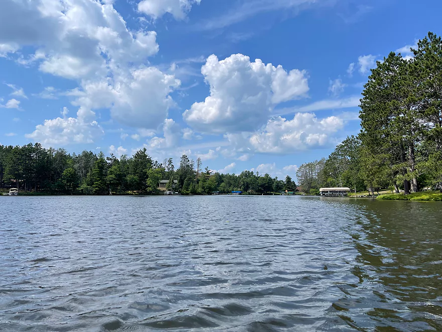
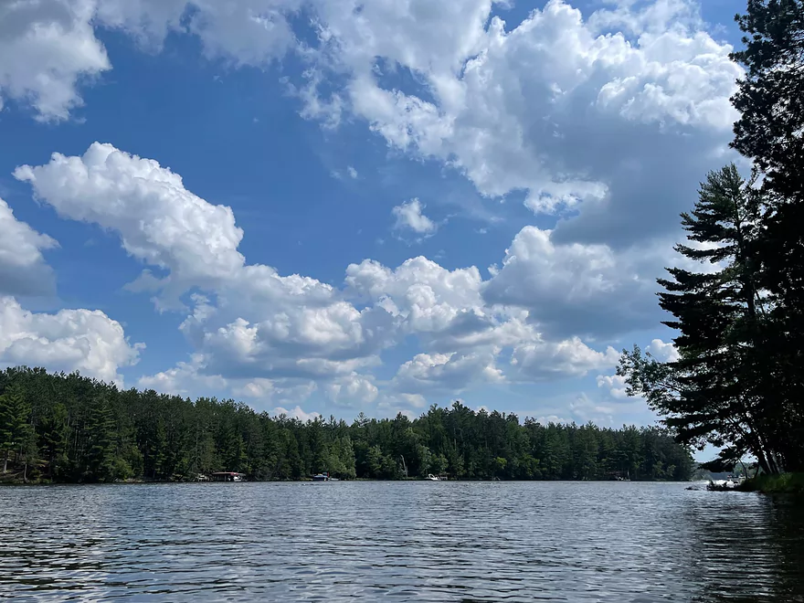
First view north after launch from Totogatic Park
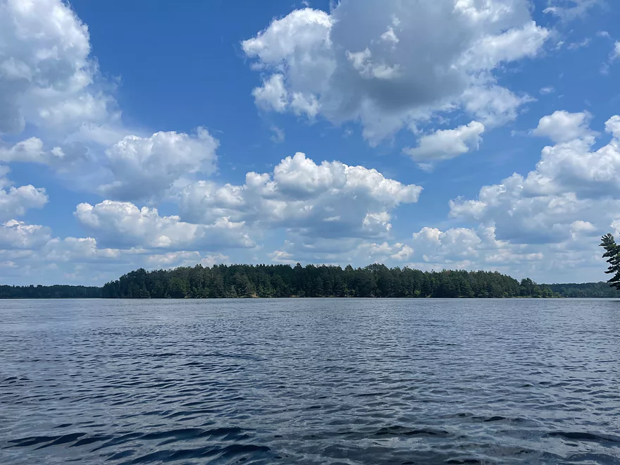
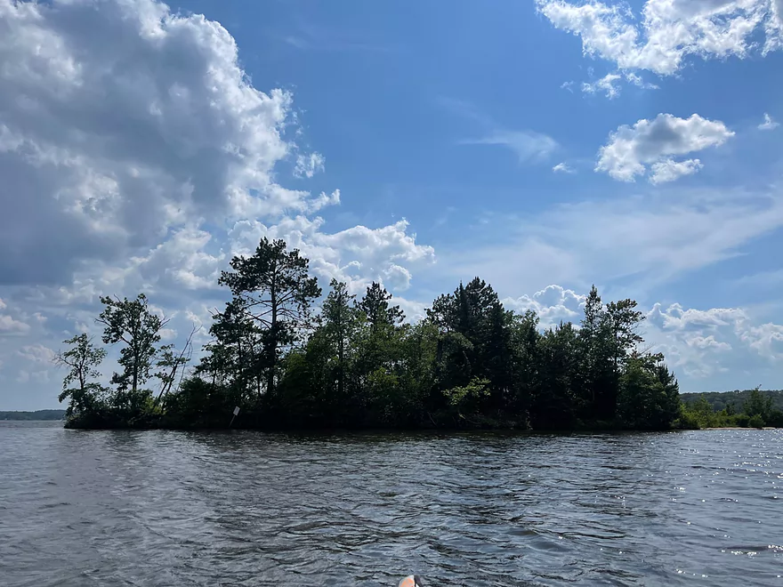
Biggest island on the Flowage looking east
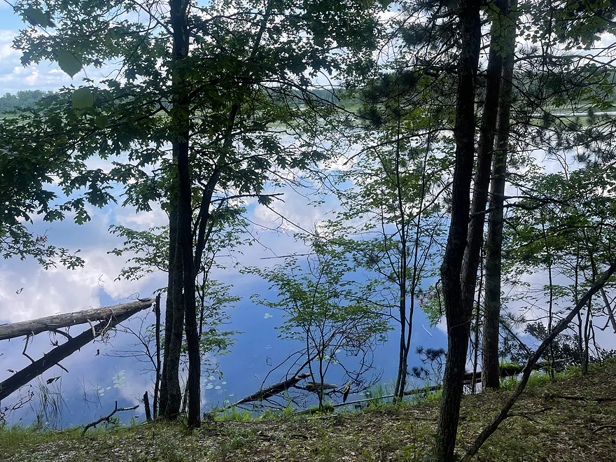
Exploring the big island on the east side of the Flowage
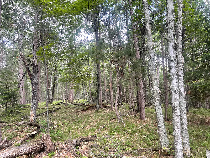
Hiking on the island
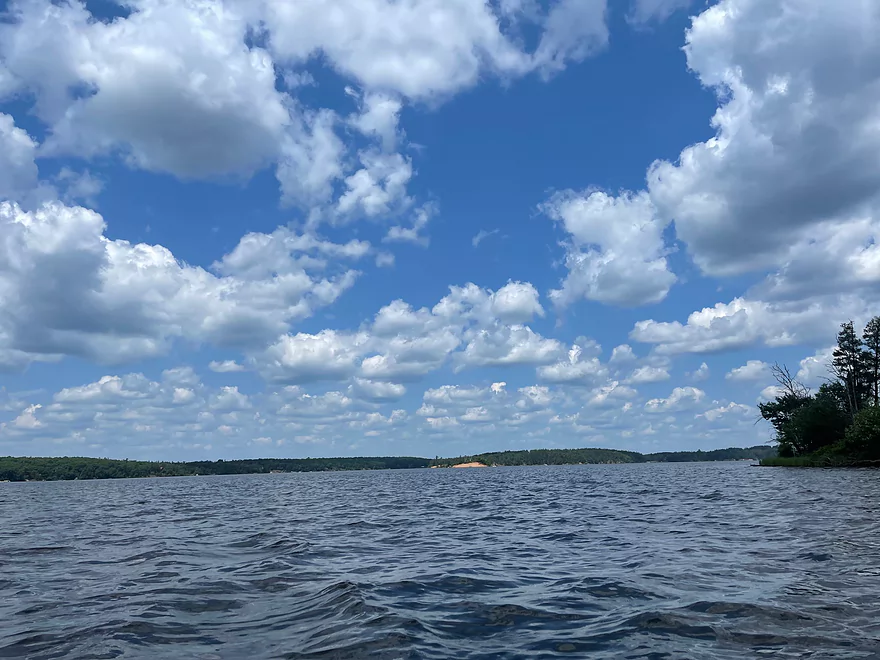
Looking east towards the inflow of the Totogatic River
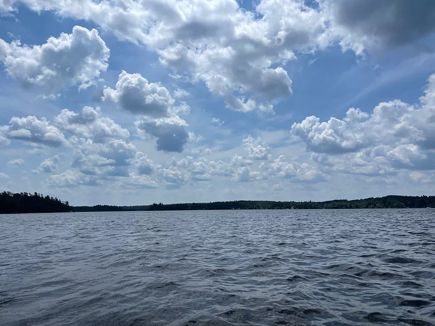
Heading north towards the bays
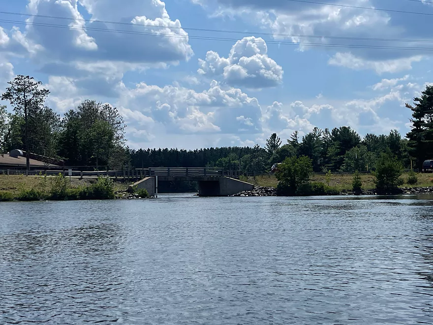
Hwy T Bridge
Paddling west on the channel that connects with Cranberry Lake
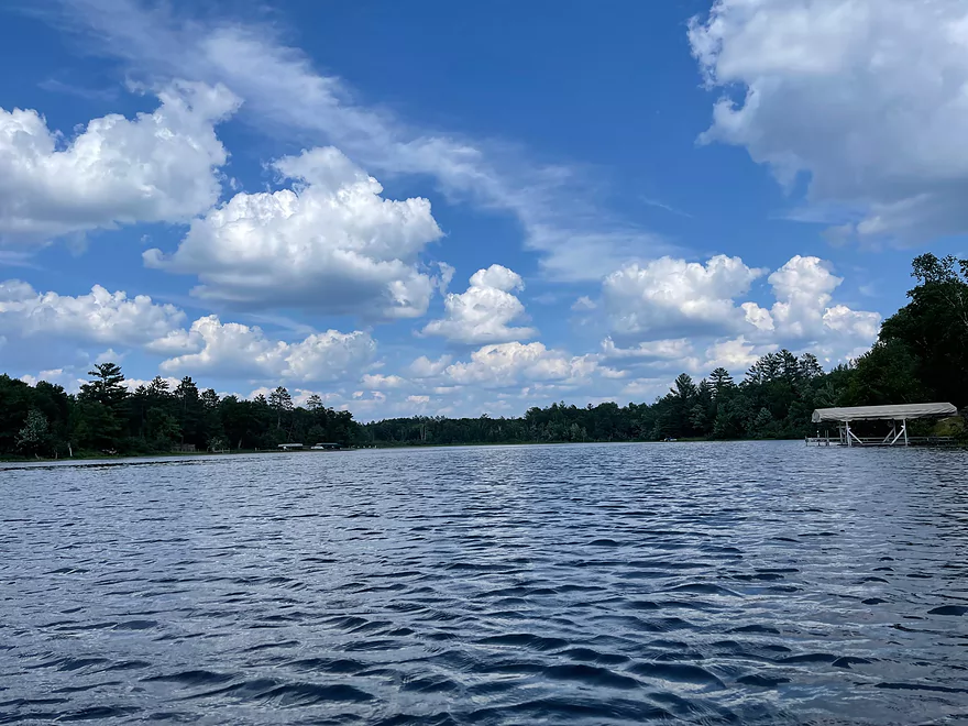
Looking north towards Cranberry Lake
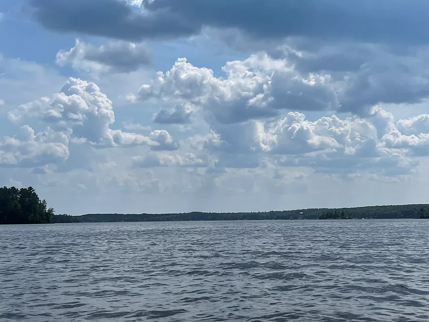
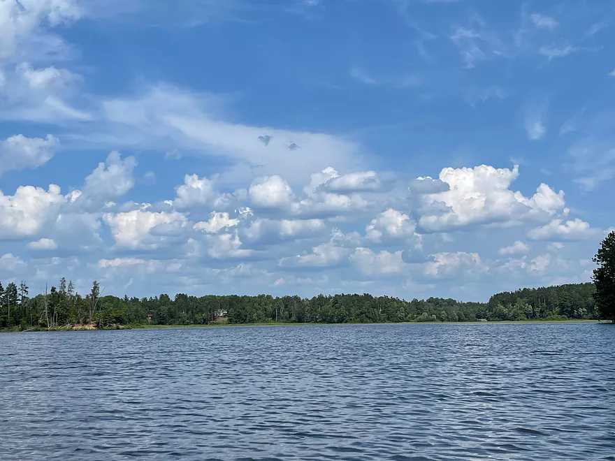
Heading south toward Totogatic Park
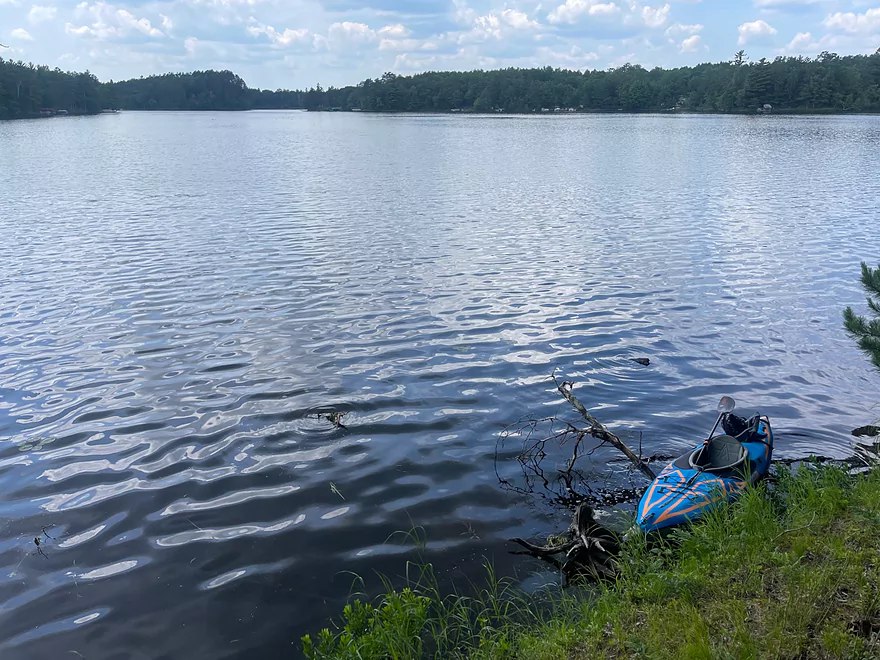
Small island directly south of Kennedy Rd
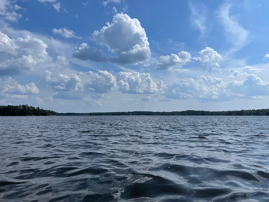
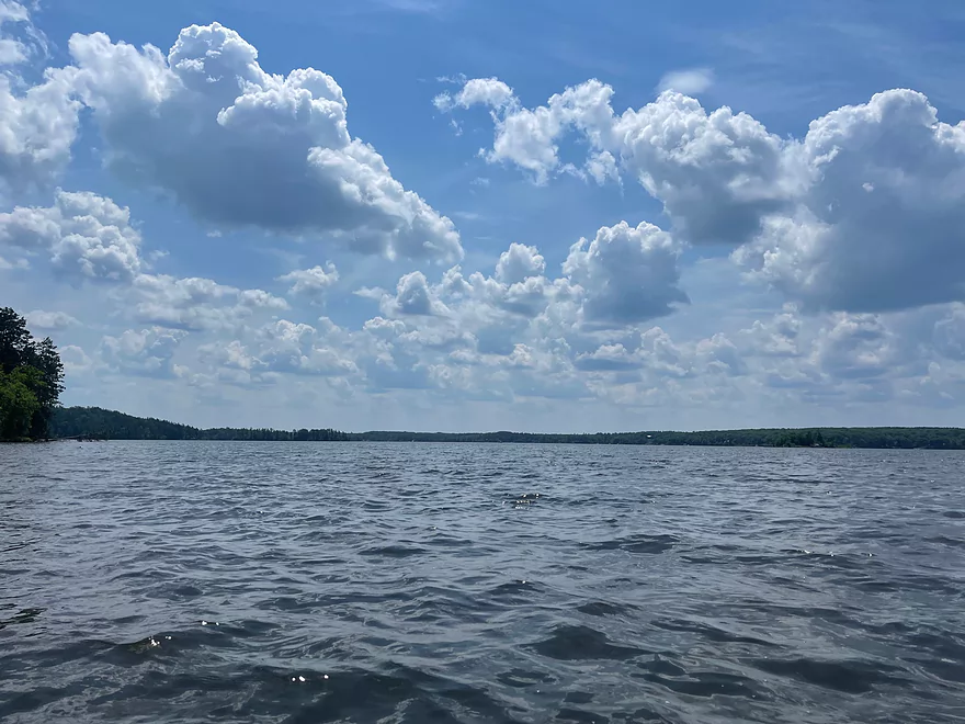
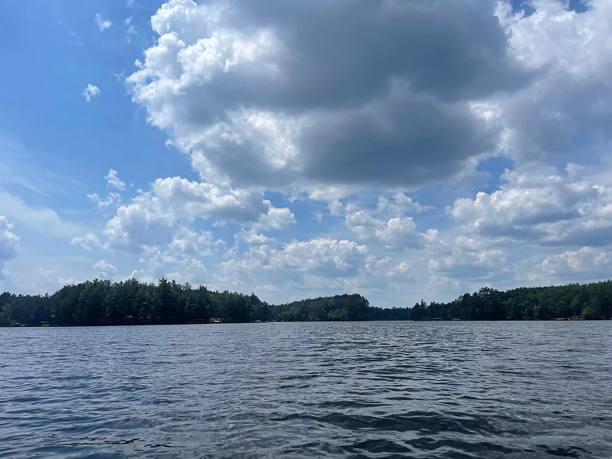
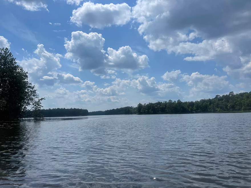
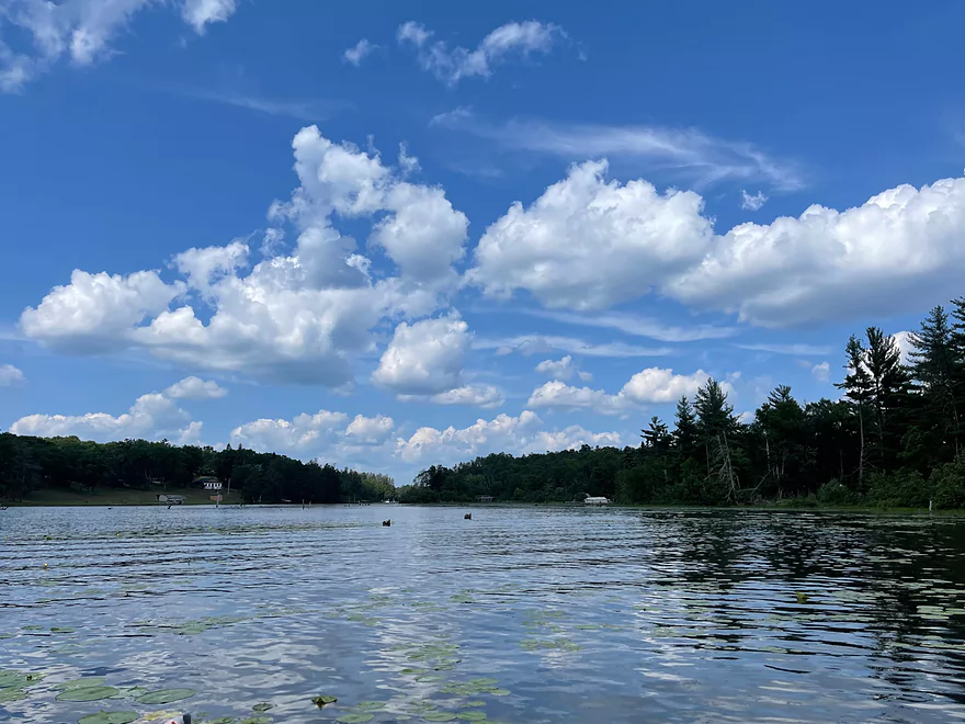
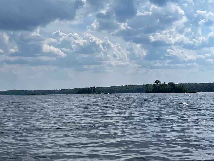
Looking south from the center of the Flowage
Minong Flowage

Minong Flowage is a 1564 acre flowage formed in 1937 by a dam on the Totogatic River. The flowage has a lot of area to paddle and is fairly easy to navigate. There aren’t any strong currents which makes it easy to paddle in any direction. The shorelines are lined with trees and there are multiple islands that can be explored or stopped at for a break. The islands are very popular stops with boaters.
The Minong Flowage is a great trip for kayakers that would like a lot of area to paddle but want to start and finish a trip from the same launch point. The flowage has enough area to choose a short or long trip and makes it easy to paddle any direction.
Thanks Peter for the review! WisconsinRiverTrips.com is always very appreciative of guest reviews, and if you the reader is ever interested in submitting one, you can use this online form.
Trip Map
Photos Size: