
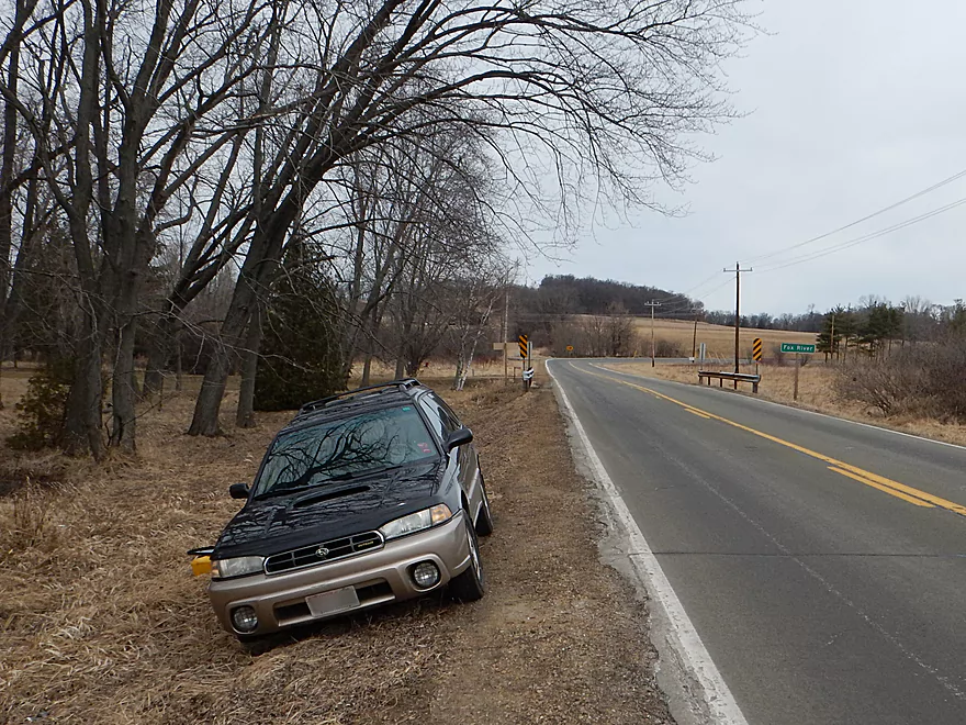
Acceptable parking at Hwy 44 bridge
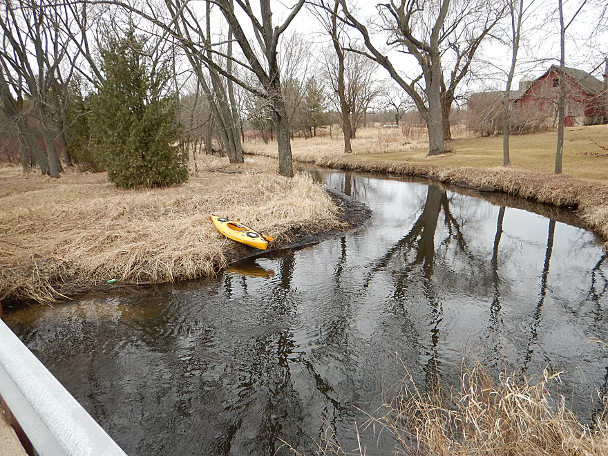
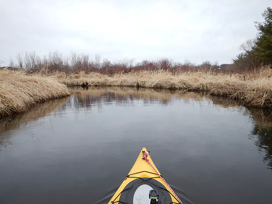
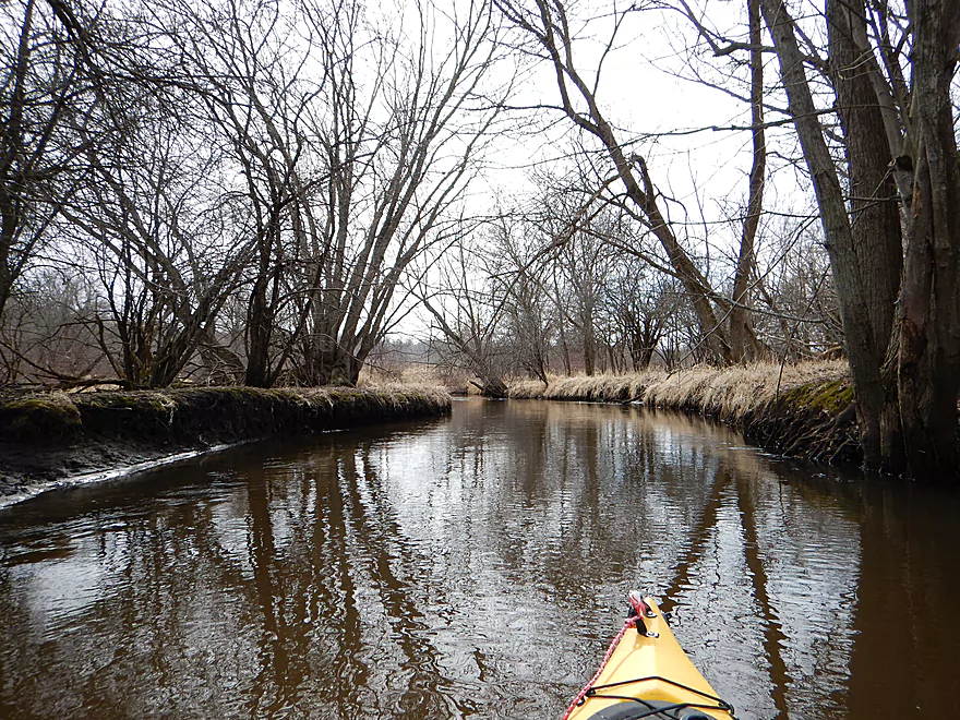
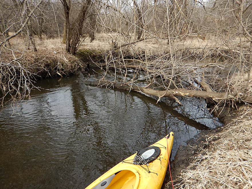
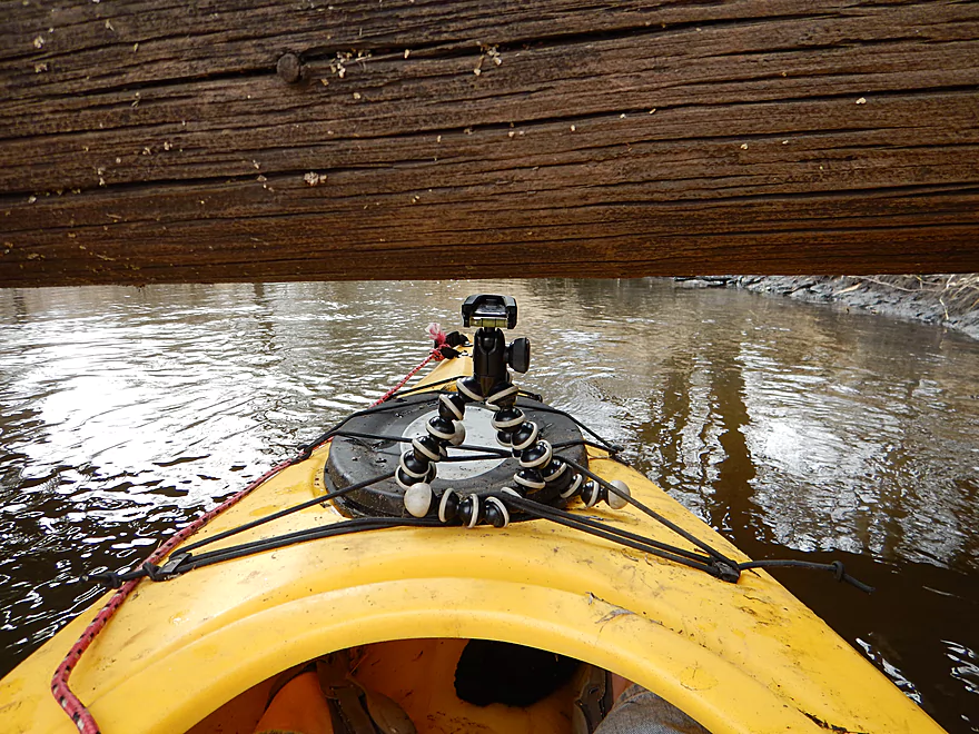
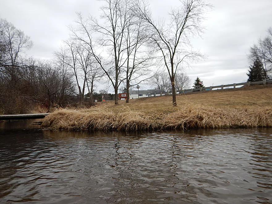
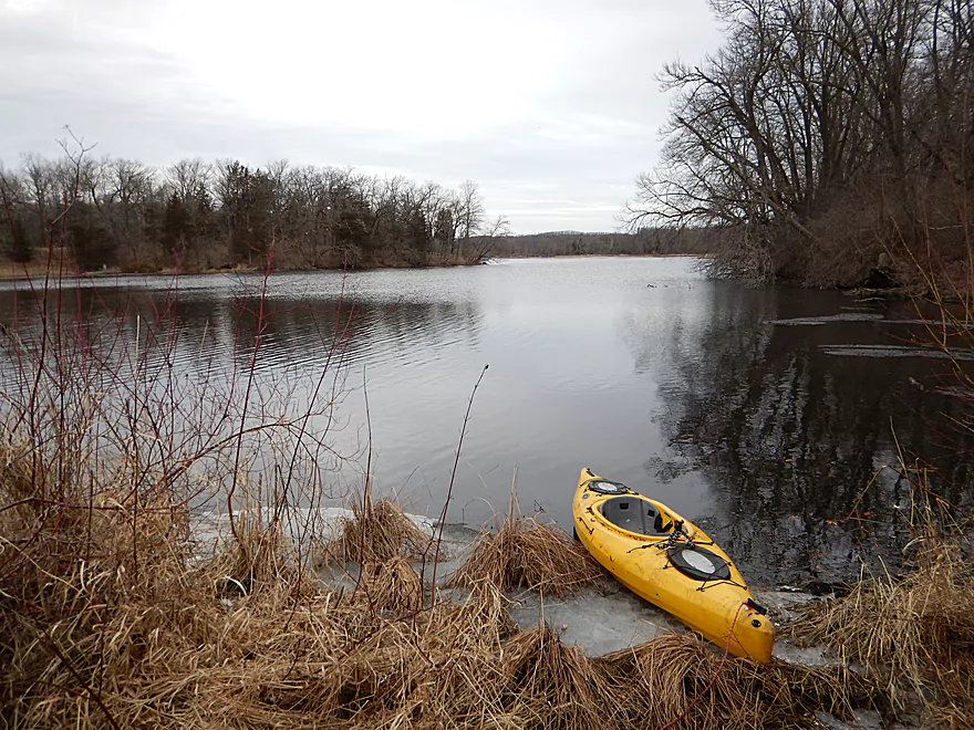
Scenic put-in
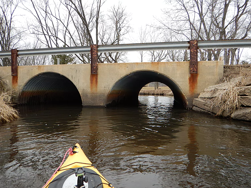
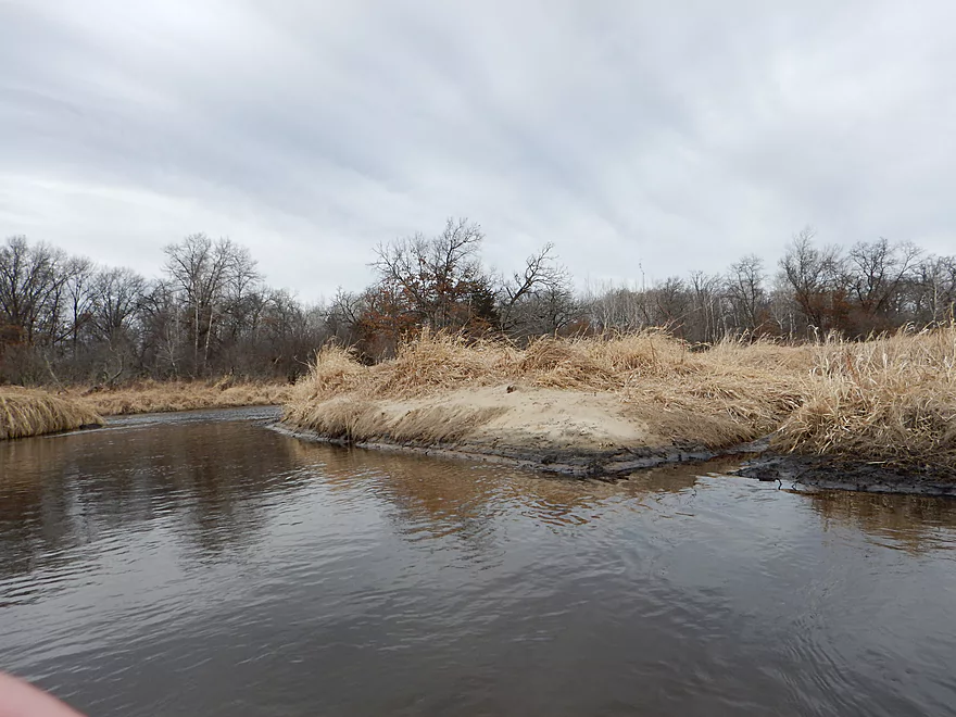
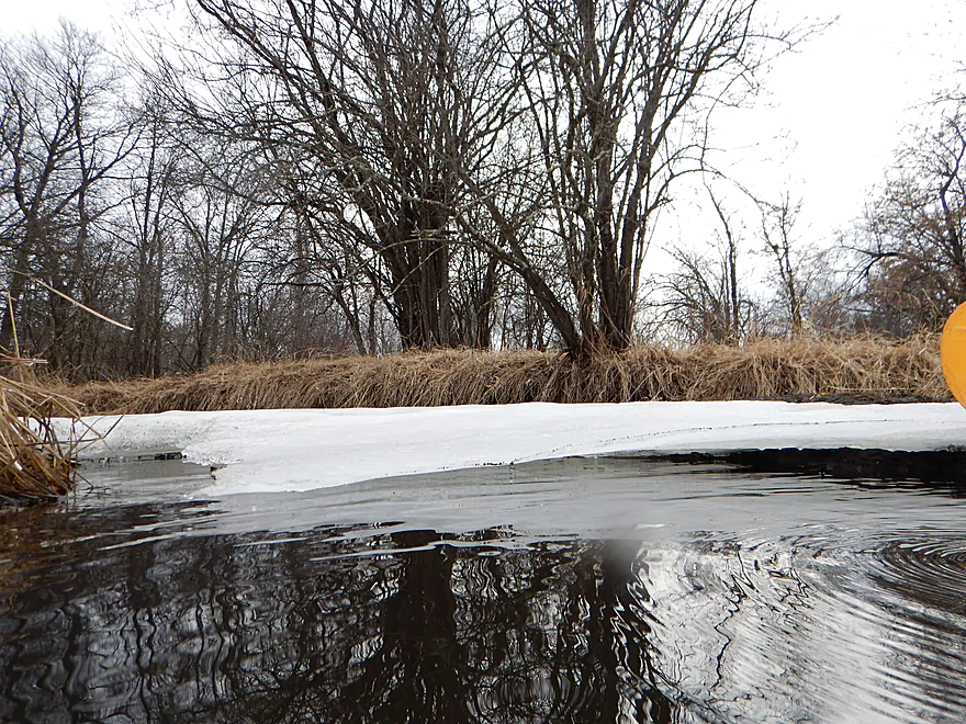
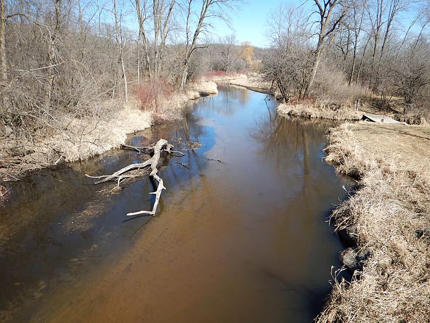
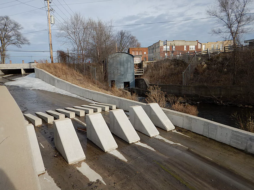
Hwy 44 bridge
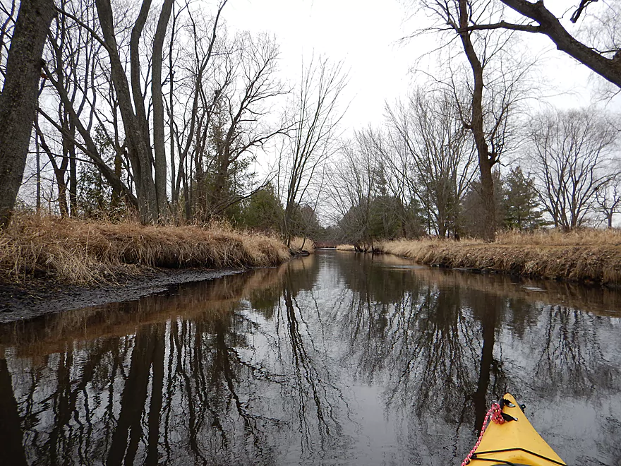
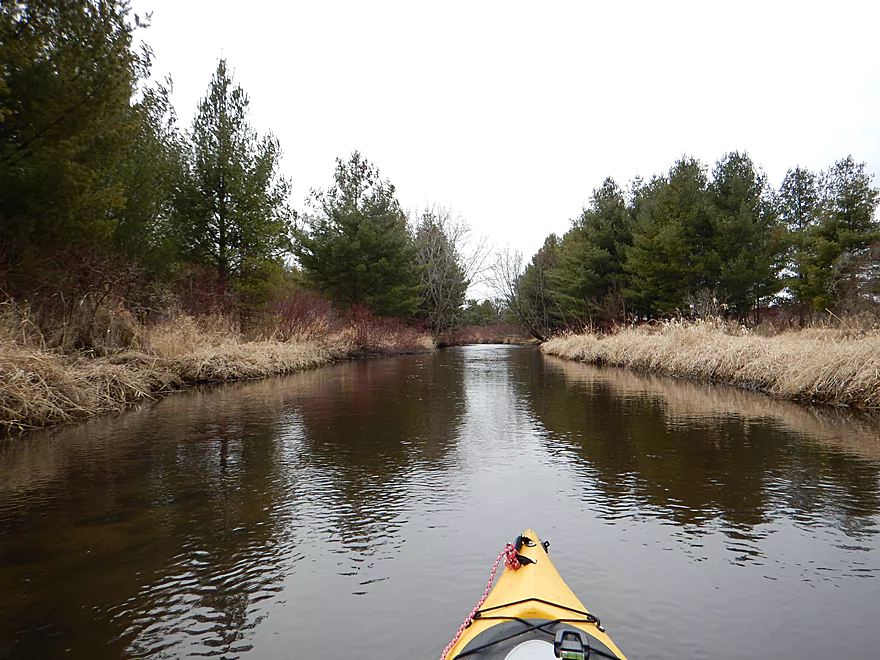
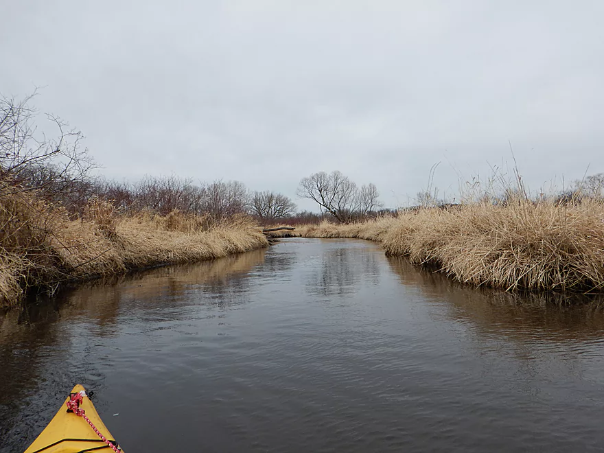
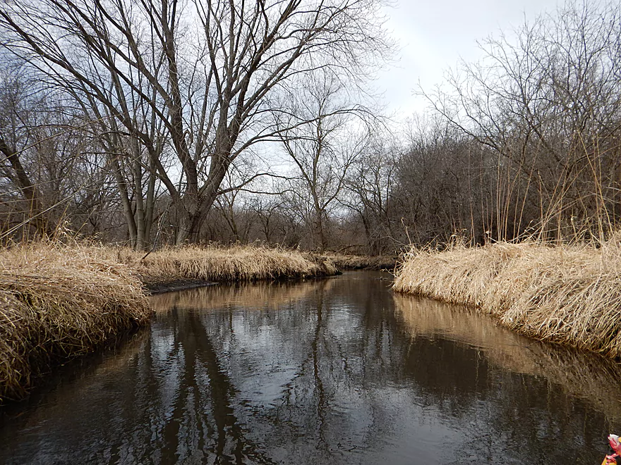
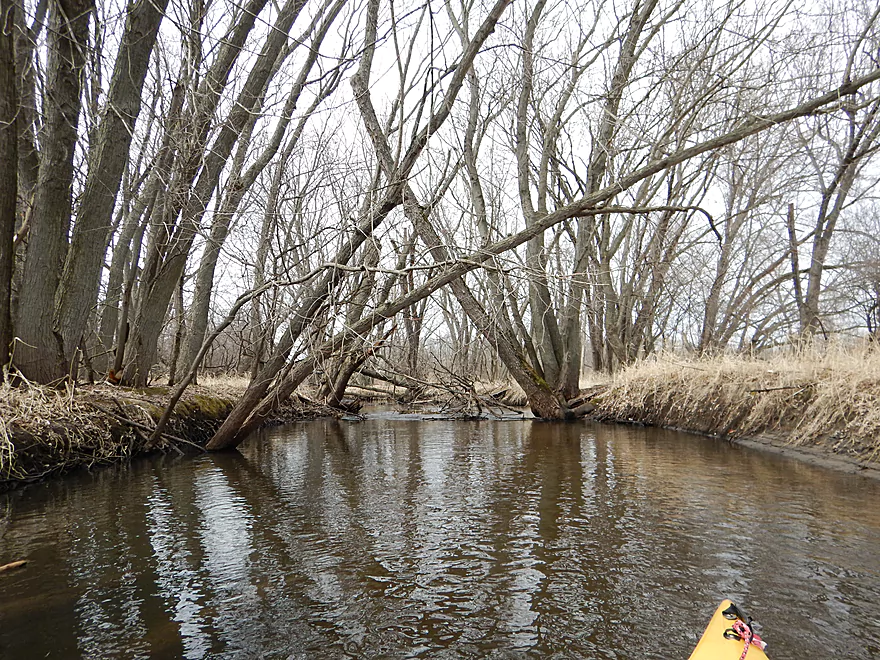
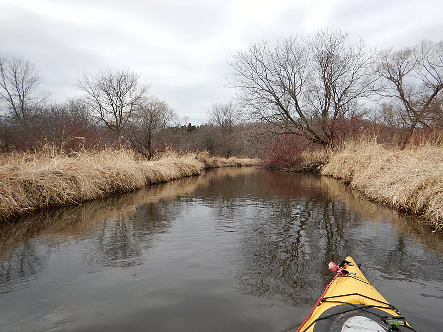
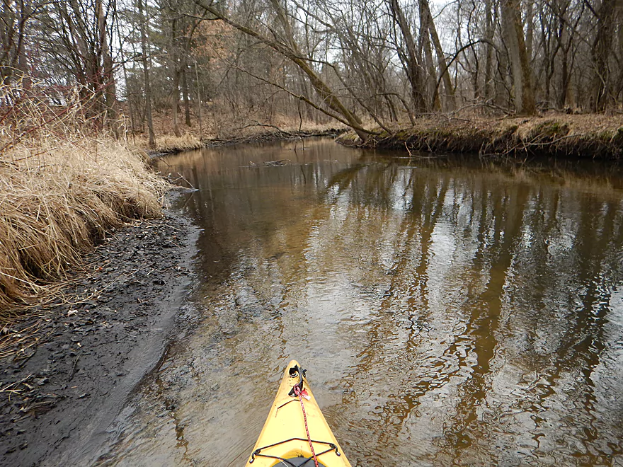
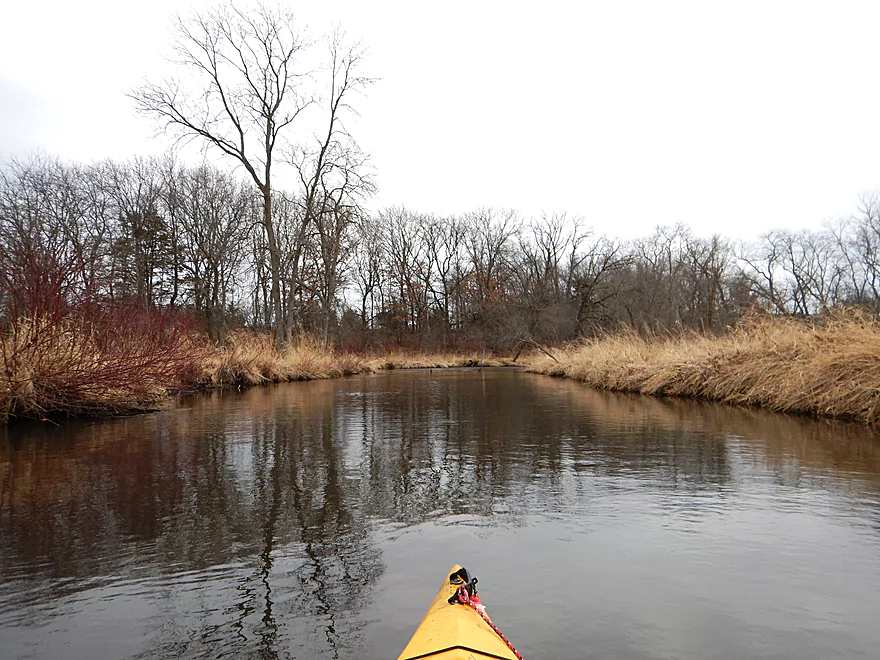
Pretty open to start the trip
White pines with a side of red osier dogwood
One of five dead animals I saw
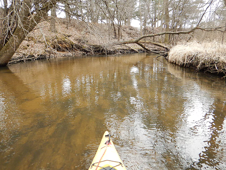
More red-osier dogwood
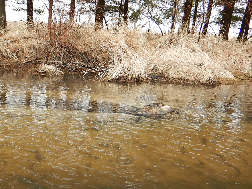
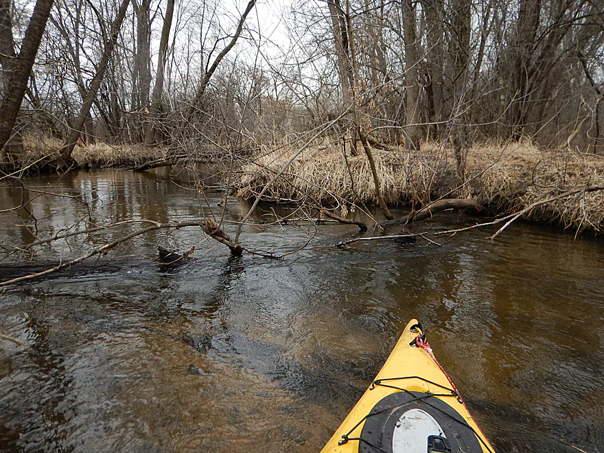
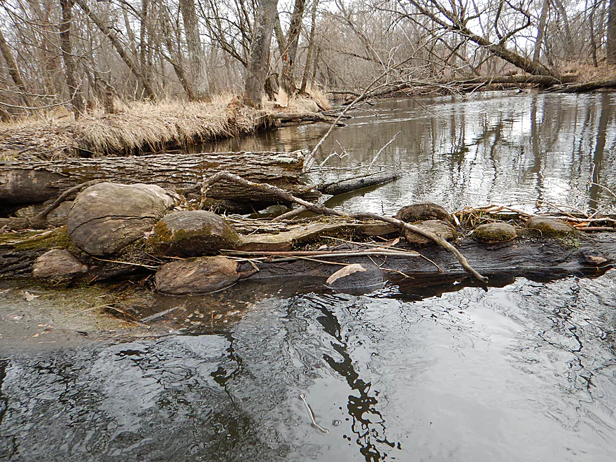
A dead beaver
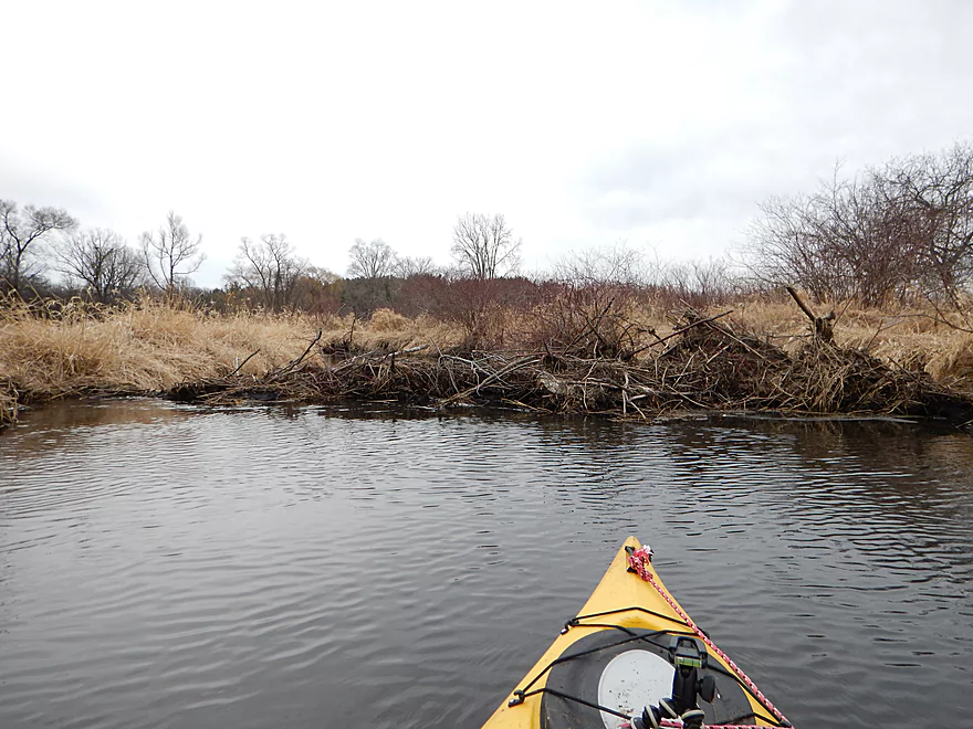
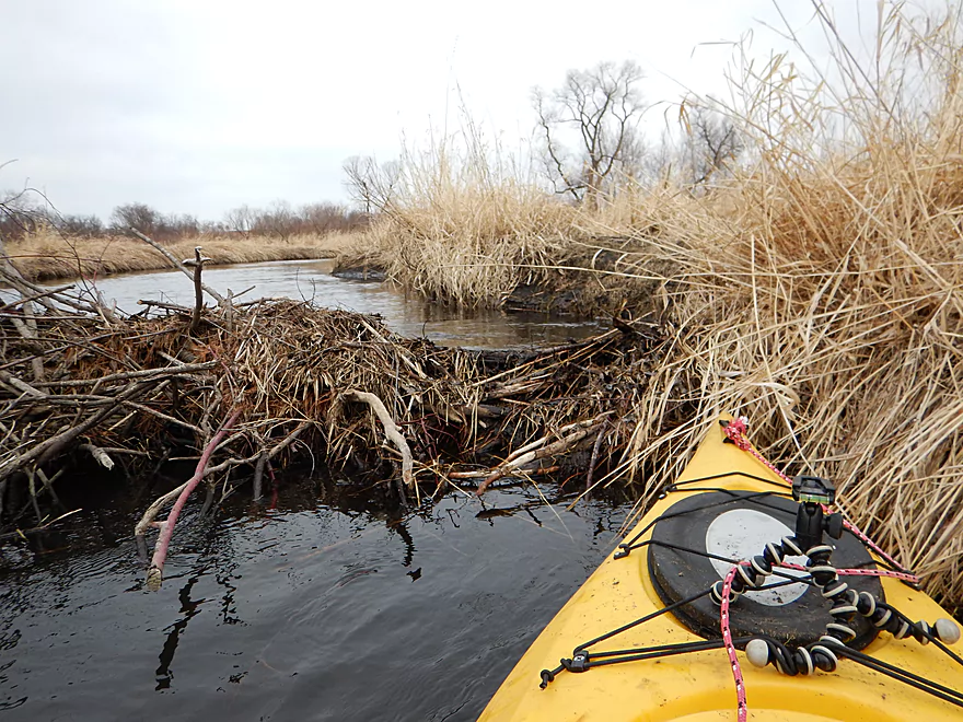
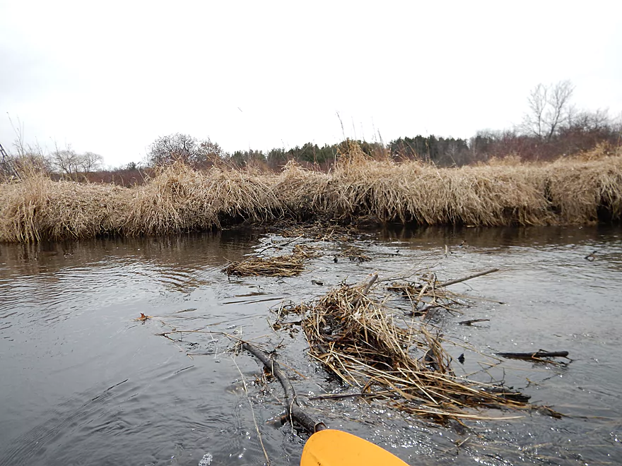
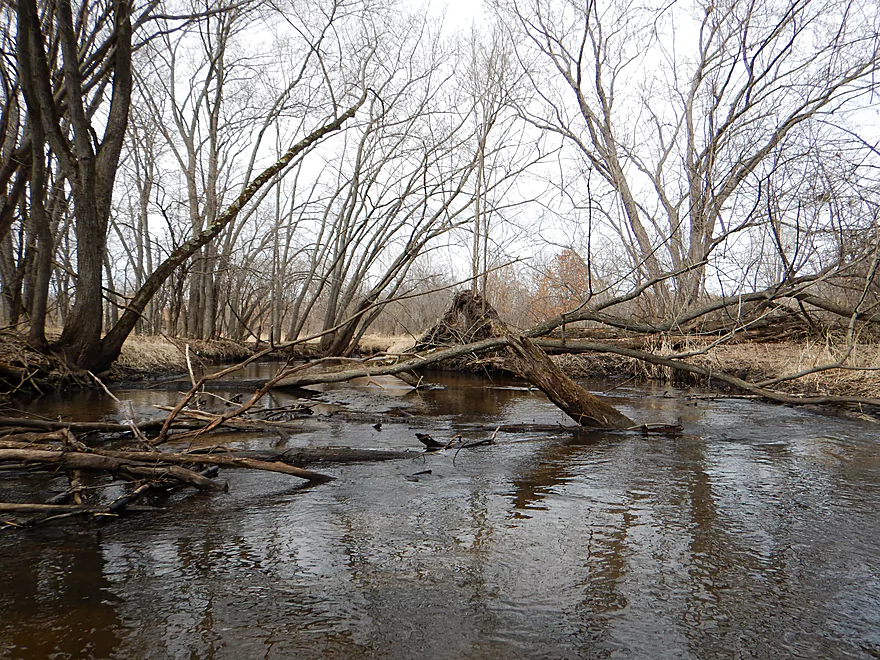
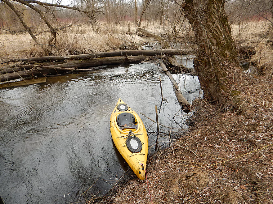
A beaver dam ahead
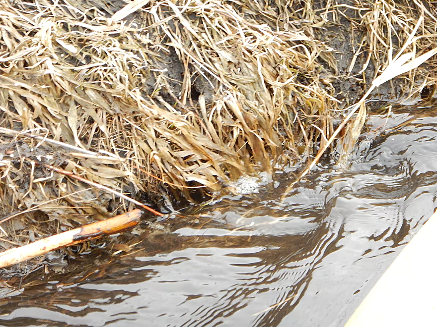
Small whirlpool going down into the beaver tunnel
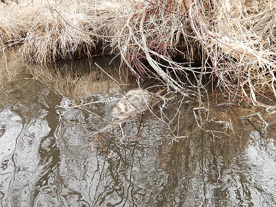
Second dead beaver
Was able to hop over the dam
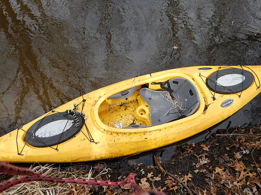
At times good clarity
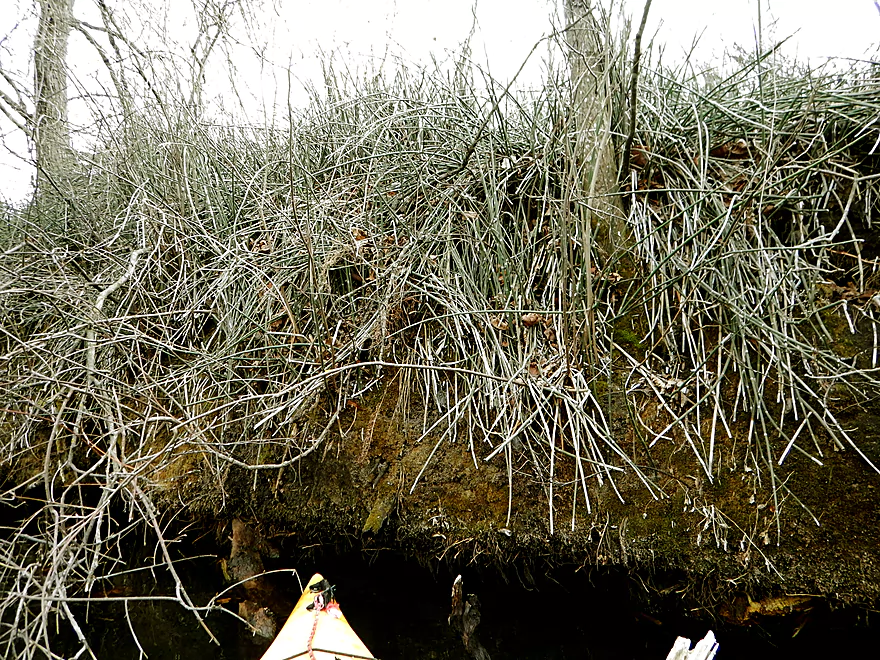
Lot of reed canary grass on this trip
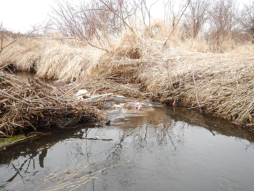
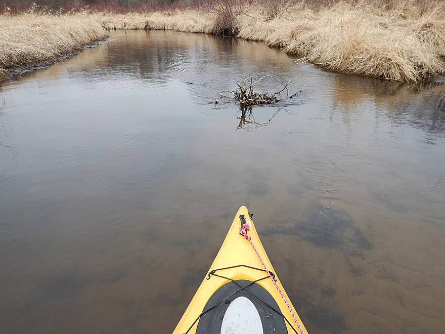
Remnants of previous beaver dam
And then it starts…
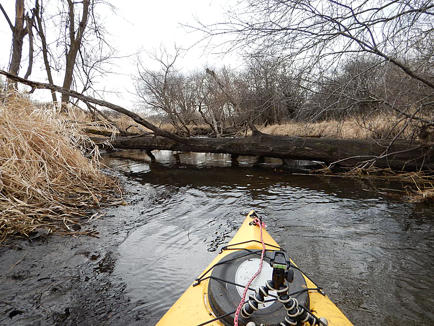
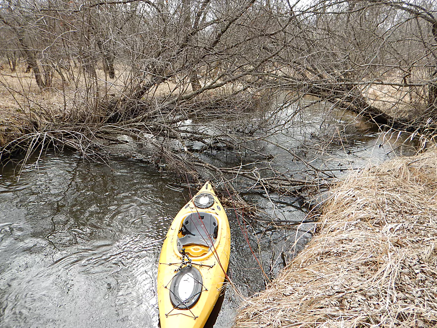
Portage #1
Actually fit through this one
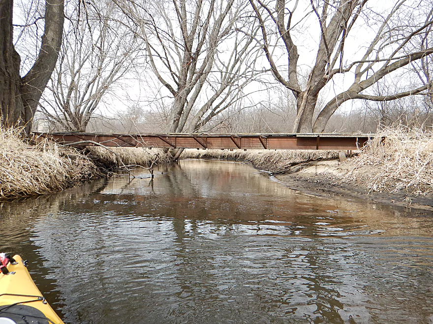
One of many snowmobile bridges
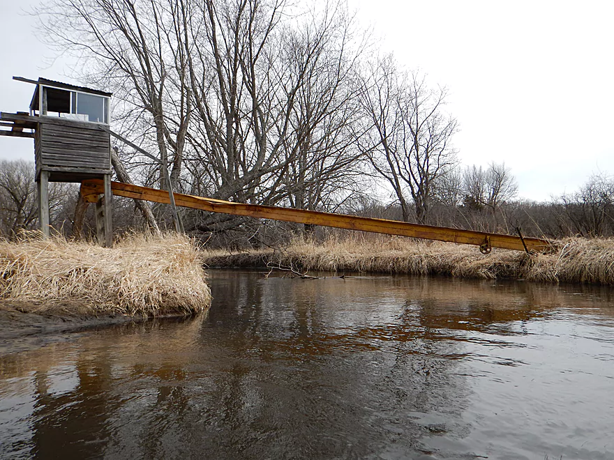
Convenient feed elevator for the duck blind
Portage #2
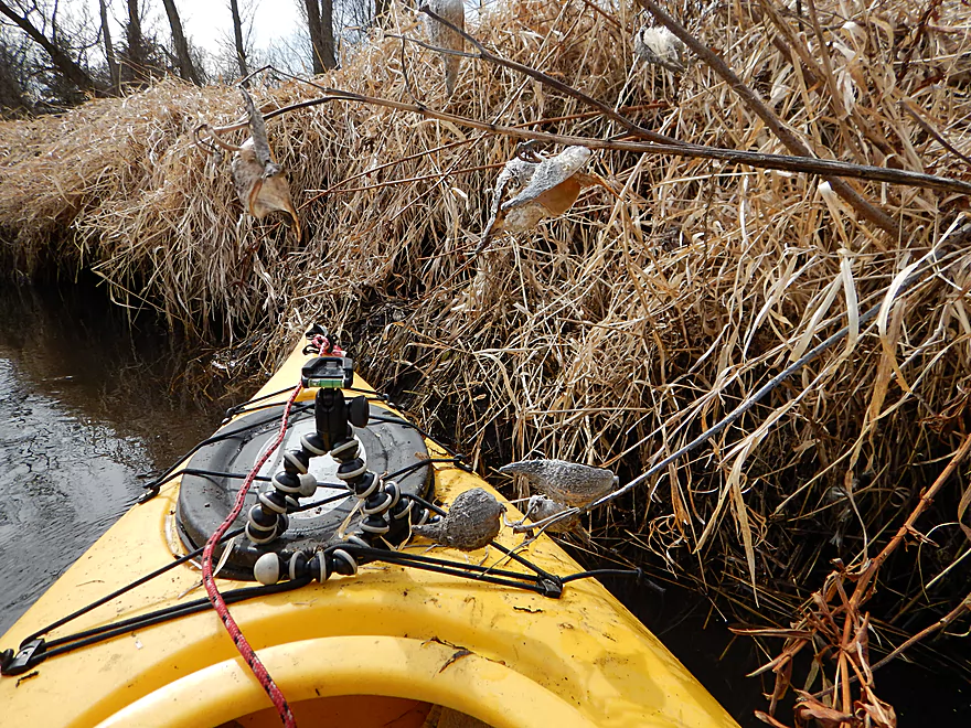
Lack of these is killing the monarchs
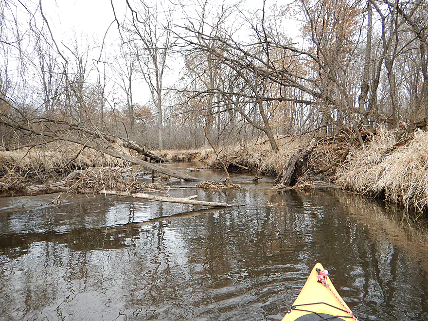
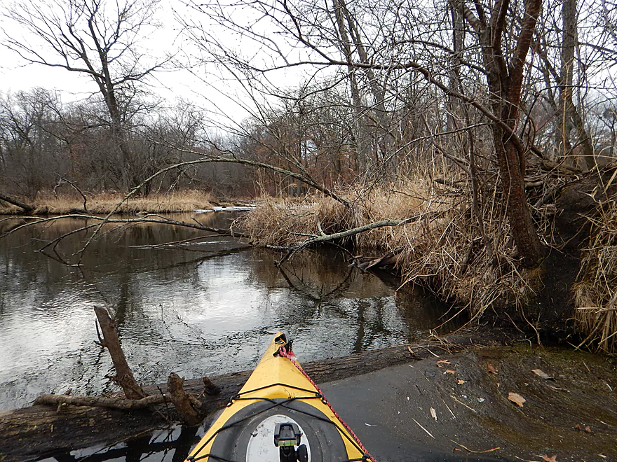
Re-entering log jam alley
Multiply this by 40
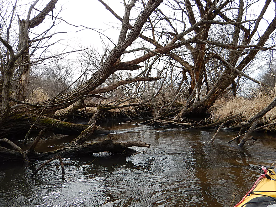
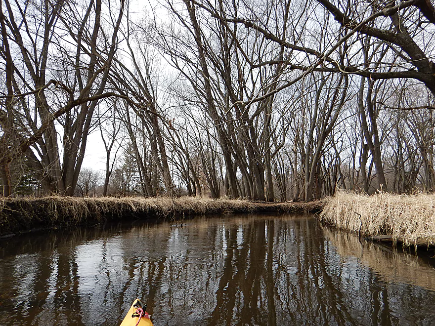
Cool tree canopy in the summer
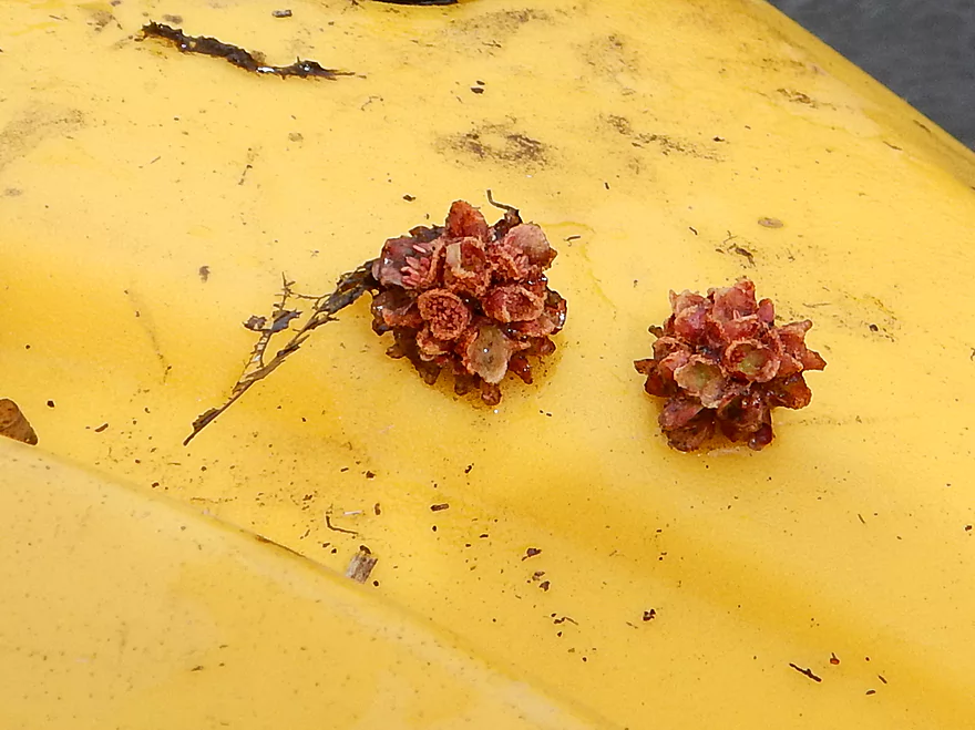
Silver maple buds (I think)
Normally melt-water raises the river
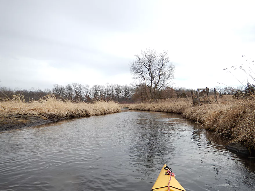
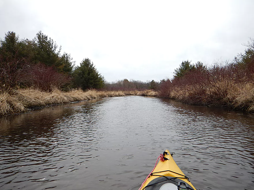
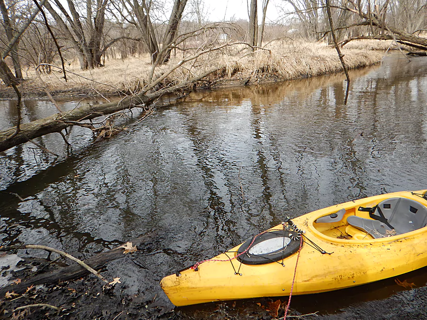
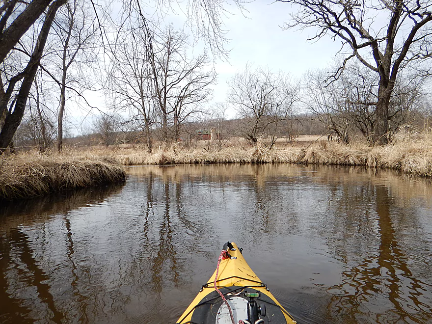
Smooth sailing again
One of several small sandbars
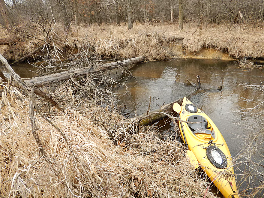
Portage #3
Sometimes muddy…sometimes sandy
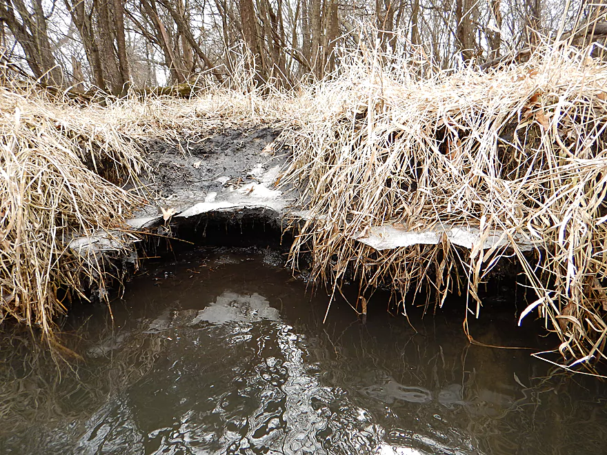
Suspended ice shelf
Maybe 4 inches…I fit!
Portage #4
Portage #5
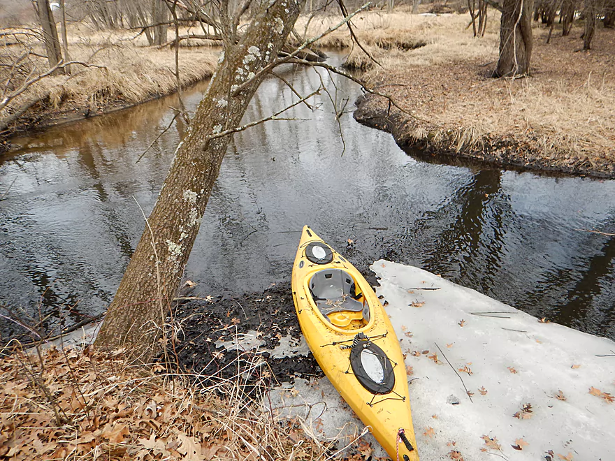
Ice kept the mud at bay
Getting elevated for this portage
Sigh…one of those trips
Portage #6 and #7
Portage #8
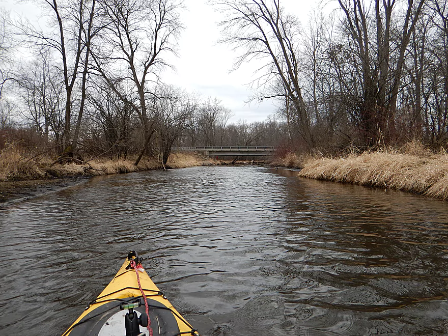
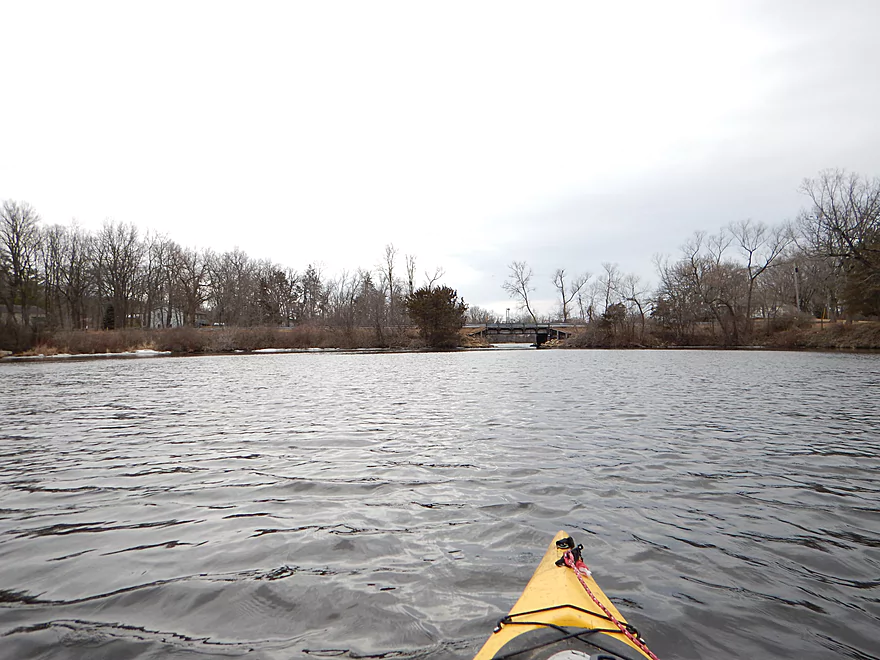
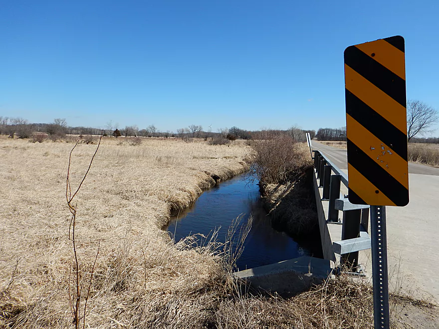
Hwy 33 at last
Reverse view from yesterday
Hwy 33 would be an ok launch
Nice clear section with actual bank
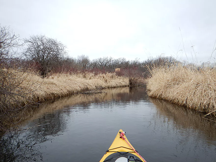
Still lots of this
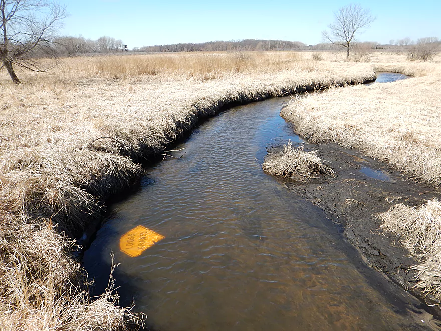
Nice gravel seep
Actually hopped over that
Log jam warts
Not mini-bamboo but rather joint grass
Remnants of pre-flowage forest
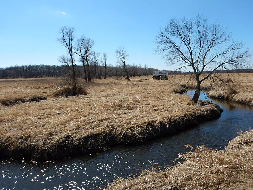
Haynes Road at last!
Lot of fishermen on this grade
Scouting the second Park Lake dam
Scouting Ross Road bridge
Scouting Hwy E bridge (interesting duck blind)
Scouting Hwy H bridge (somebody did not read the sign)
Fox River – Pardeeville

An obscure section of the Fox River upstream of Pardeeville that has redeeming values, but can be a frustrating paddle because of the log jams in the stream.
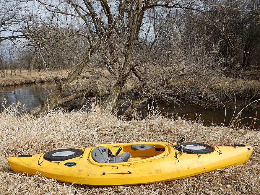
Pretty good access at Hwy 44. Best parking and launch area will be on the southwest side of the bridge. There is a house in sight of the bridge, but I think this is public and you should be fine.
Indian Trails Campground is a local livery but am not sure they come this far east. Otherwise this is an easy bike shuttle at 3.8 miles. 59′ of ascending and 43′ of descending (not too hilly for a bike). Minor complaint would be that Hwy 33 is very busy, fast and has small shoulders.
River depth was easily sufficient and this segment (despite practically being a stream) could have been paddled at much lower levels. The gauge in Pardeeville read 7.22′ which I assume would be average. The current was mild at 1.6′ per mile and was never pushy (nice considering the logs that had to be dodged). At higher water levels I could see this being an obnoxious river though.
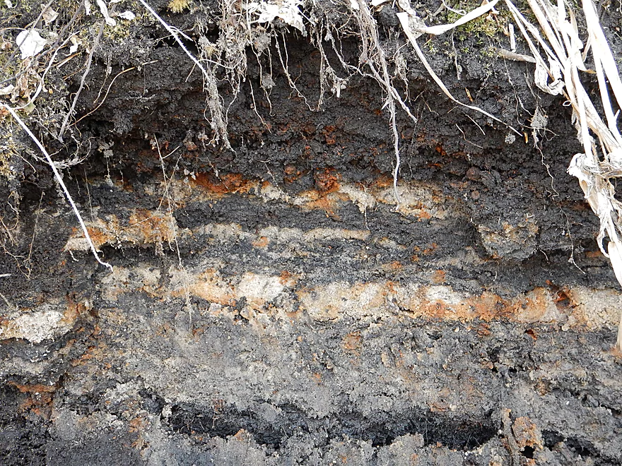
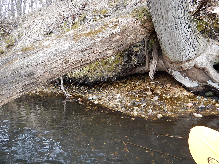
Mixture of sand and mud. Actually an interesting hybrid that gave the river a little character. There were some sandbars, but they were quite small. Water clarity was above average with some nice clear sections, but not as good as say Neenah Creek to the west.
Five dead animals, two of which were beavers. Saw two eagles, lots of honkers, ducks, great blue heron, skunk cabbage and lots of deer. Not as vibrant for waterfowl as I expected but assume this will change in a month or so.
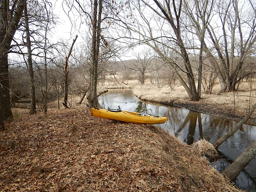
I’ve never heard of anyone paddling this segment before, but from my satellite and road scouting thought it would be a good prospect without too many log jams. The trip started nice enough with the trees being by and not in the river.
Perhaps as a bad omen, I saw several dead animals right off the bat (deer, raccoon and beaver). Was thinking how surprisingly deep the river was when wa-la, around the bend, I encountered my first beaver dam (from a kayak). The dam was in poor repair and sure enough on the right side was a dead beaver (dead beaver #2). I was able to hop over the dam on the left side with little trouble and minimal damage to the dam (although I doubt any beavers remain).
In many ways this river reminded me of other wet-grass paddles (like Neenah Creek and the White River) in that it tended to be very open and flanked with walls of grass. But there were wooded sections that would pop up now and then. Now trees + sand + meandering river = bad combination. And sure enough I encountered my share of log jams. From Hwy 44 to Hwy 33, there were eight I had to portage. I shouldn’t complain too much as the portages were easy. The grass was flattened, the mud frozen, no mosquitoes and the banks weren’t too steep…spring is actually not a bad time to run log-ridden streams!
However for each portage-necessitating jam, there were many, many more that were still very problematic. There was a lot of “hopping”, “ducking”, and “zig-zagging”…and I had a small 10.5′ boat. This would be worse for most other paddlers. This is why unless, you are a zealous local, I probably can’t recommend this water trail.
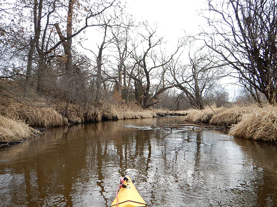
The river itself if cleaned up would be kind of nice though. Sure some of the grassy sections are boring, but it has some nice character and sections with attractive clear water. Some of the wooded sections would be attractive in the summer and there would be cool tree canopies arching over the stream.
The 1.5 mile section from Hwy 33 to Haynes Road has a different character to it and I liked this part of the trip the best. This section had no portages for me (but serious obstructions regardless). Being so close to town, the deer really chomp down and reduce the grassy mono-culture, which is a relief (much of the wet grass is undoubtedly invasive cow-food brought over by Europeans…aka reed canary grass). So it is ironic that one unwanted species (in deer) eliminates another in invasive grasses.
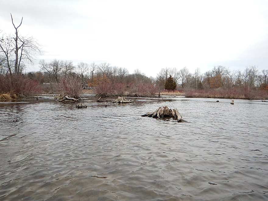
At the end of the trip in Pardeeville, the Park Lake flowage kicks in and you’ll encounter the only truely shallow part of the trip. This is undoubtedly a by-product of the twin Pardeville dams silting in the flowage. If you navigate carefully, you should be ok though.
No hazards other than the log jams (see write-up above).
The Haynes Road bridge/grade is solid for access. The grade is very steep so there are very few good parking spots and the few flat ones might be taken by fishermen. You’ll have to drag your kayak a bit to reach the water from the car, but it isn’t too bad.
Not too bad. There really is no agriculture nor industry, and very little in residential areas along the river. Still get to gripe a bit though…Hwy 33 (a major road) was noisy and could be heard a ways off. Somebody was shooting off their semi-automatic weapon which I could hear for pretty much the duration of the trip.
The twin Park Lake dams have created a muddy silted in lake that is very boring. The DNR estimates that sediment has filled in 8′ of the lake (at the deepest end) and the “sediment landfill” created by Park Lake could fill a football field (plus end zones) to the height of a 110 story building. The dams are quite tall for a creek (about 20′), which means there used to a zippy and interesting Fox River that used to run through Pardeeville. Actually was one minor riffle above the flowage, so there might have been rapids here at one point in time.
Detailed Overview
- Hwy H to Hwy E: 3.1 miles. Creek/river is kind of small here and you may need high water. Route is 3.1 miles and logjams shouldn’t be an issue. A very open and grassy route.
- Hwy E to Ross Road: 2.9 miles. Hwy E has tough parking because of steep shoulders but you should be able to park in a drive NW of the bridge. Next 2.7 miles will be mostly open wetgrass and logjams shouldn’t be an issue.
- Ross Road to Hwy 44: 3.3 miles. More open wetgrass for the next 2.9 miles with possible logjams before Hwy 44. Parking isn’t the greatest at Ross because of the steep shoulders.
- Hwy 44 to Haynes Road: 6.6 miles. An obscure section of the Fox River upstream of Pardeeville that has redeeming values, but can be a frustrating paddle because of the logjams in the stream.
- Haynes Road to Hwy 22 Dam (the south one): 2.0 miles. Looks like a boring lake paddle IMO. I did not see public access at either dam, so you may have to portage them. Am not sure. I believe canoe author Frank Piraino put in on the Hwy 22 bridge by the north dam/fork.
- Hwy 22 to Swan Lake Campground: 2.6 miles. I do not know much about this route, but it was paddled by Frank Piraino who had a favorable opinion of it. Rumor has it there are snags here. I suspect there will be jams in the north fork after Hwy 22, but the south fork should be free (but less scenic). Swan Lake Campground requires a fee for access.
- Swan Lake Campground to Swan Lake (South Shore Boat Ramp): 2.7 miles. An ok stretch. In essence a creek paddle through grasslands with a bit of lake paddling at the end. Serviced by a local livery.
- Swan Lake to Hwy 33: 5.8 miles. Pleasant marsh paddle. Does include 1-2 miles of paddling.
- Portage Canal: 2.3 miles. A unique experience filled with history. Unfortunately the canal can be at times challenging to navigate.
- Hwy 33 to Governor Bend: 5.4 miles. A classic stretch and one of the best water trails on the Fox.
- Governor Bend to Hwy O: 5.7 miles. A pleasant stretch.
- Hwy O to Endeavor: 7.6 miles. A surprisingly nice section with good wildlife.
- Buffalo Lake: 10.6 miles. An artificial lake/flowage. Looks boring…. Beware of the weeds in late summer.
- Montello to Grand River Locks: 3.4 miles. A good section.
- Grand River Locks to Lake Puckaway: 5.3 miles. Probably a nice section.
- Puckaway Lake: 6.2 miles. Also looks boring and to be avoided. At least it’s not fake like Buffalo Lake. Maybe 7 miles.
- North Puckaway Lake to Princeton Locks/Dam: 9.8 miles. I do not know much about this stretch.
- Princeton Locks/Dam to the City of Princeton: 3.5 miles. A simple but pleasant section.
- City of Princeton to White River Locks: 6.0 miles.
- City of Princeton to Old St. Marie Landing: 1.9 miles. A pleasant wooded section with a historic turn bridge.
- Old St. Marie Landing to the White River Locks: 4.1 miles. A slow, broad channel that is ok, but gets repetitive.
- White River Locks to Landing Road: 10.4 miles. The White and Puchyan Rivers add a lot of volume by now. Not sure this is a great paddling stretch.
- Landing Road to Riverside Park in Berlin: 3.4 miles. A simple section that flows through downtown Berlin.
- Riverside Park to Eureka Boat Landing: 7.8 miles. River is probably no longer a cute baby and is instead an ugly teenager.
- Eureka to Omro: Roughly 6.5 miles. Probably too big to be enjoyable.
- Omro to Lake Butte des Mortes: 5.0 miles. Likely uninteresting.
Trip Map
Overview Map
Video
Photos Size: