
Put in at Hwy 11
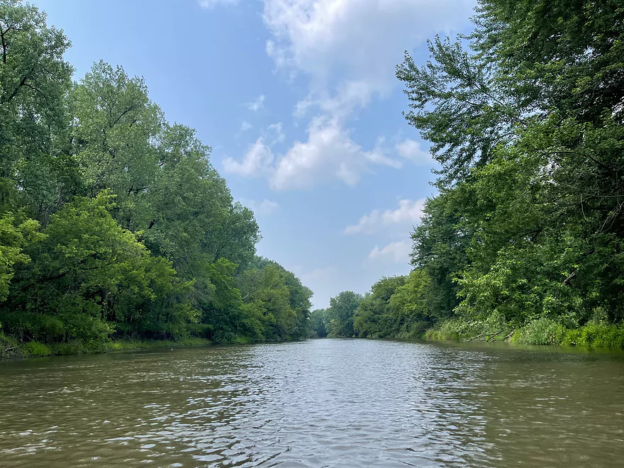
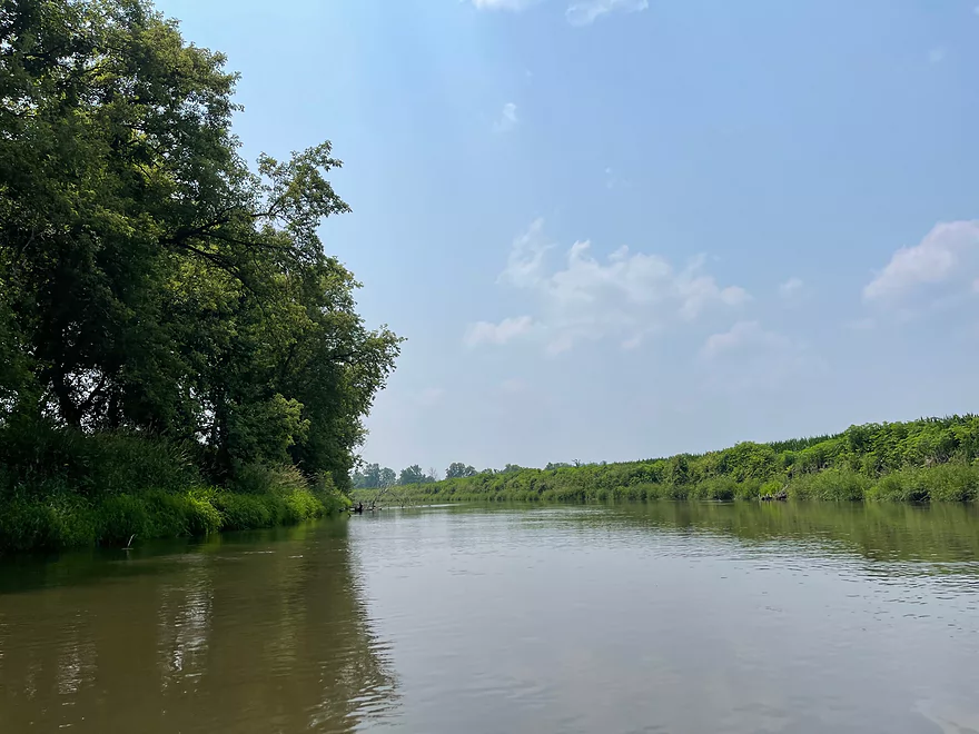
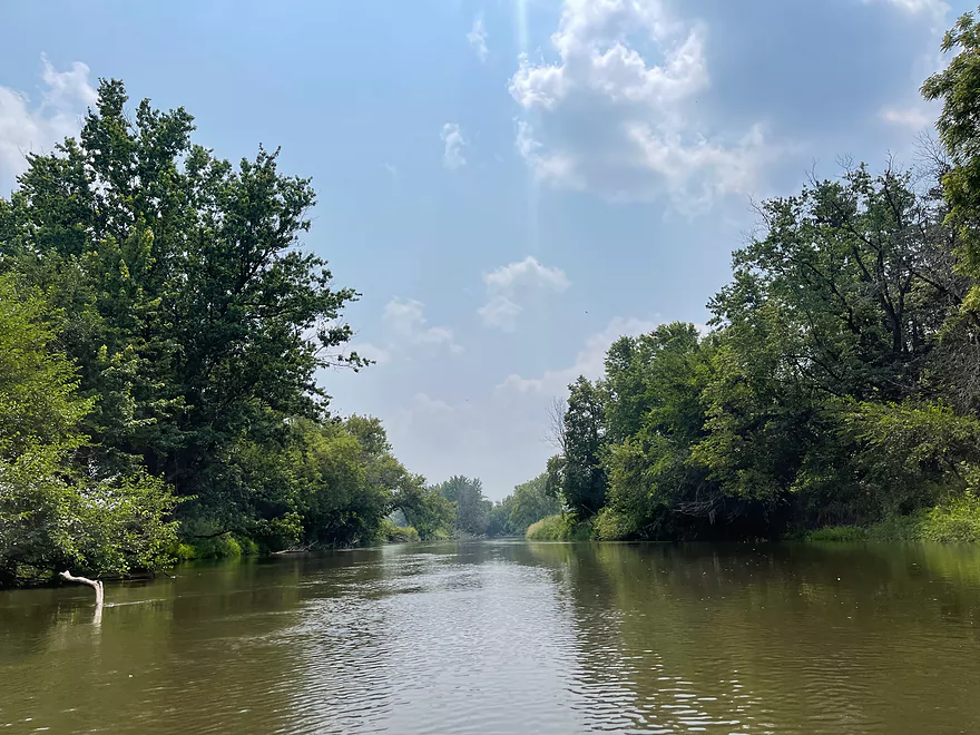
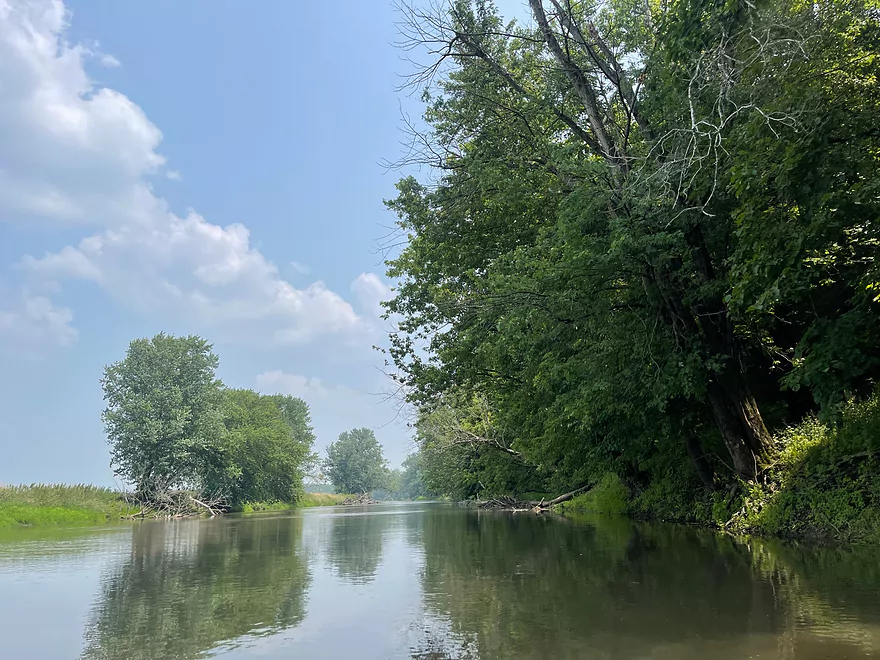
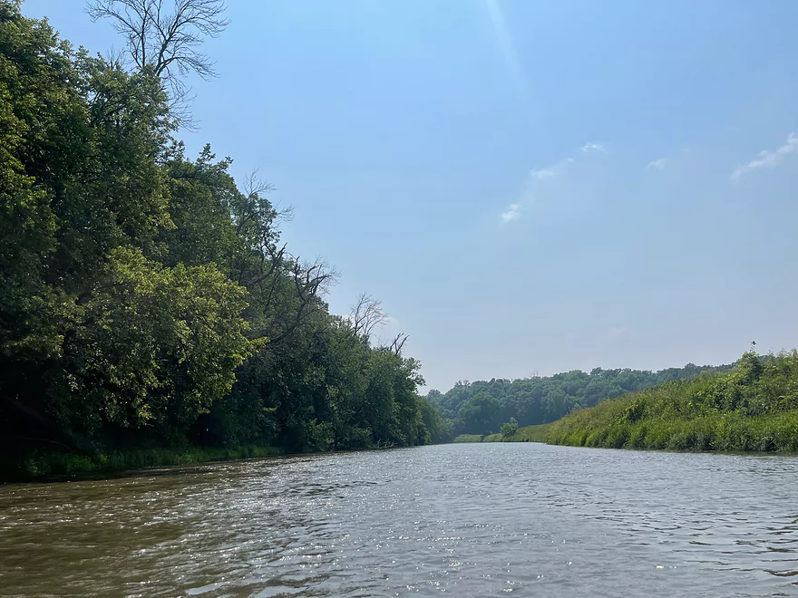
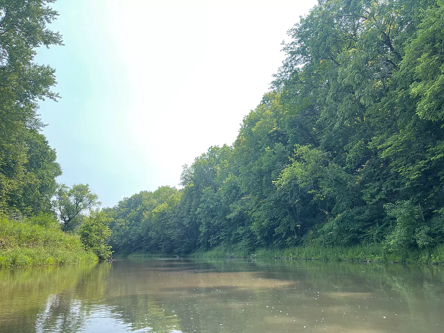
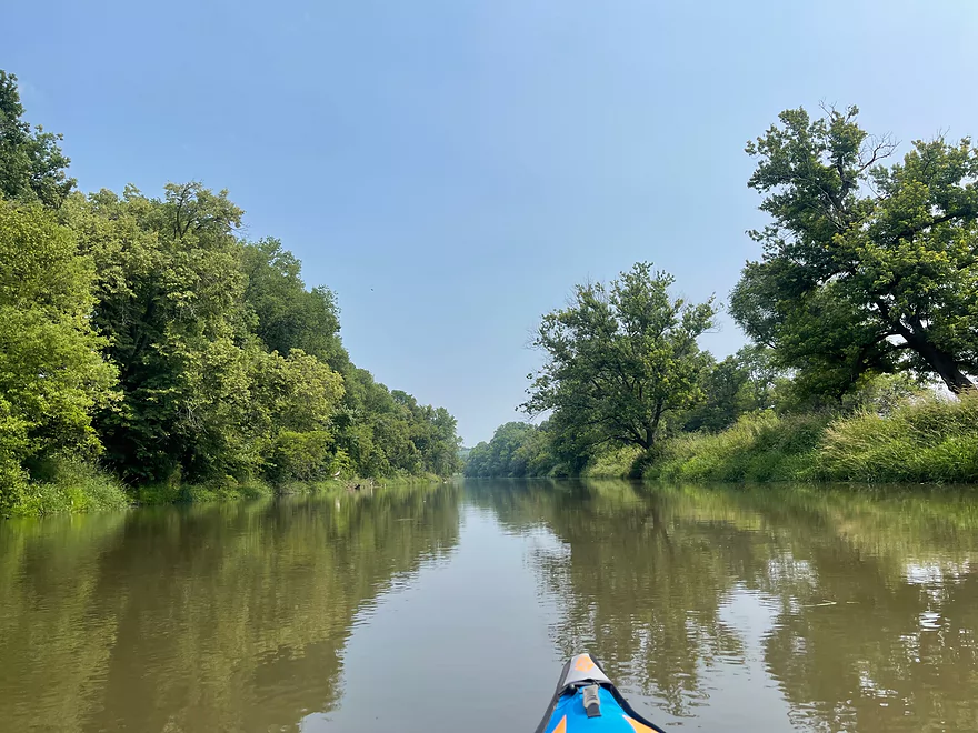
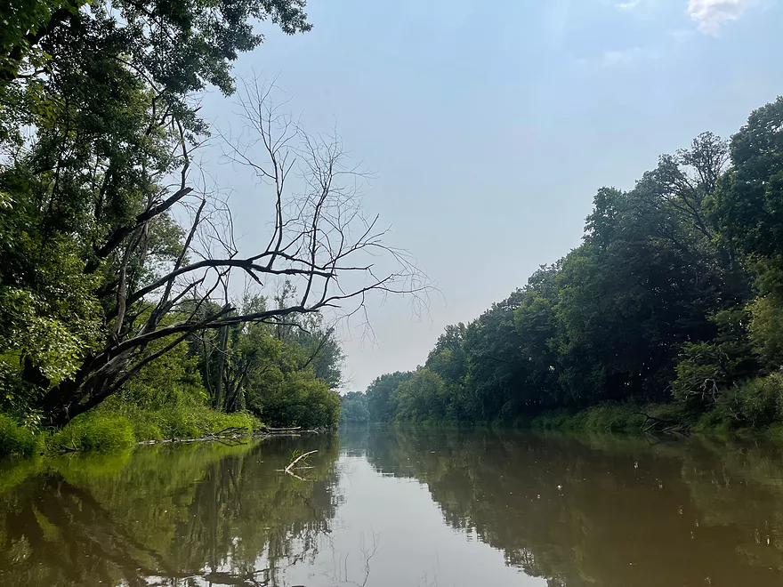
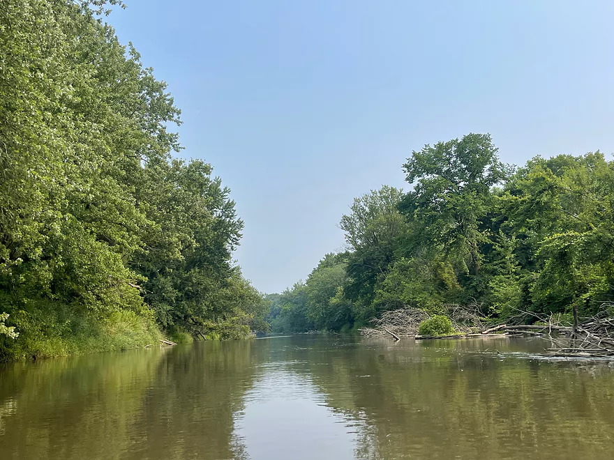
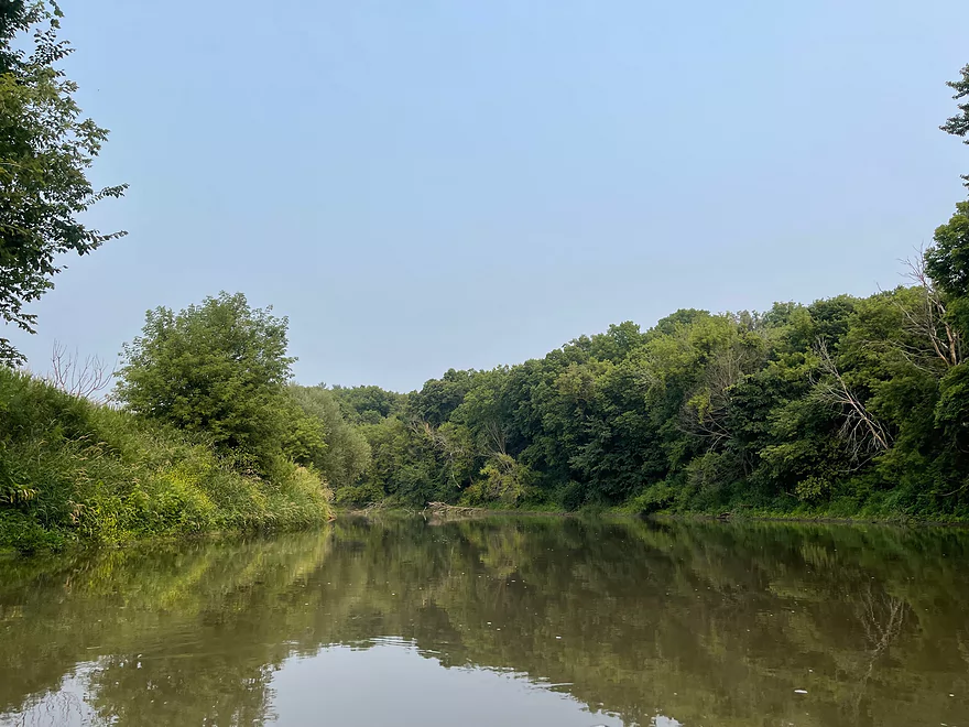
River is very wide
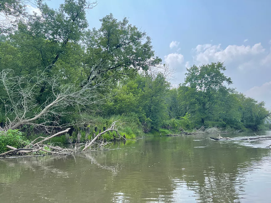
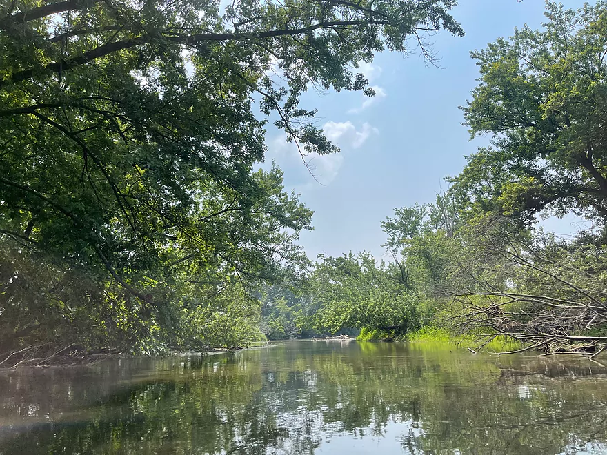
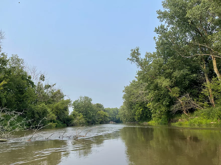
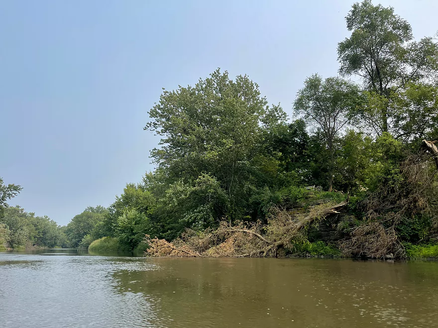
Some deadfall but it’s easy to paddle around
One of many small streams that flow into the Pec
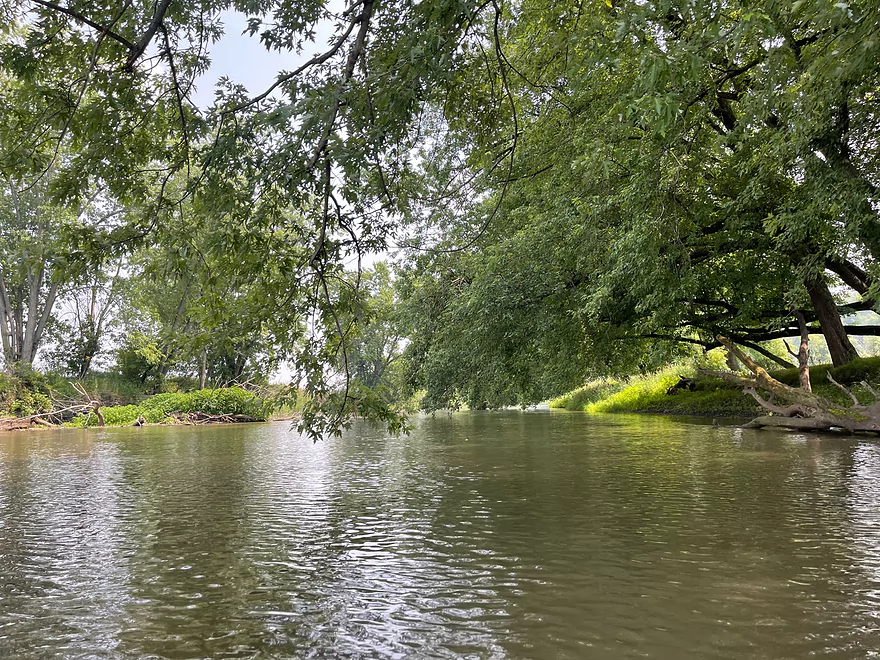
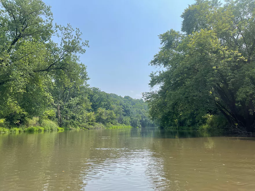
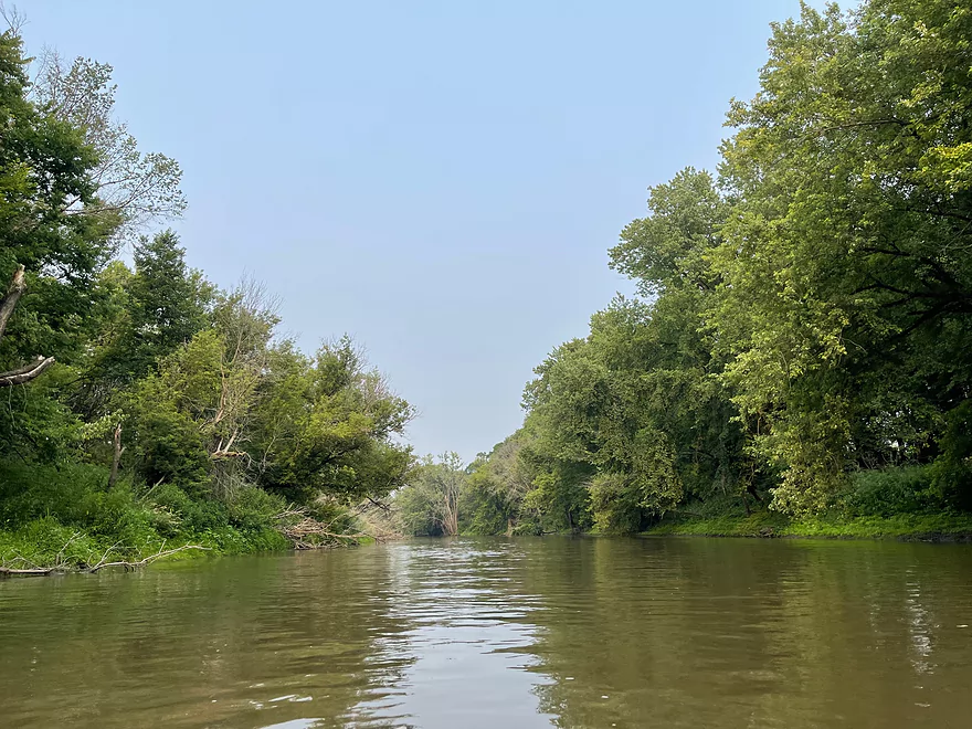
Tree canopy
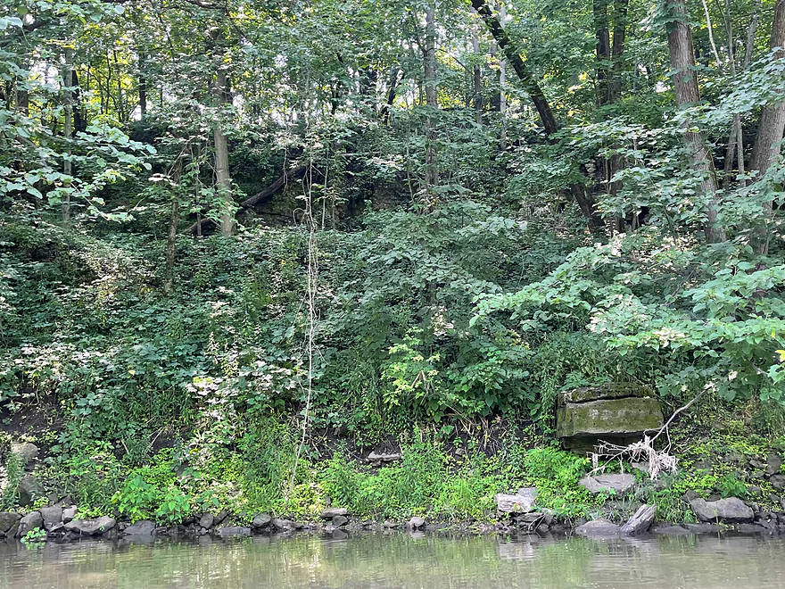
Remnant of an old bridge
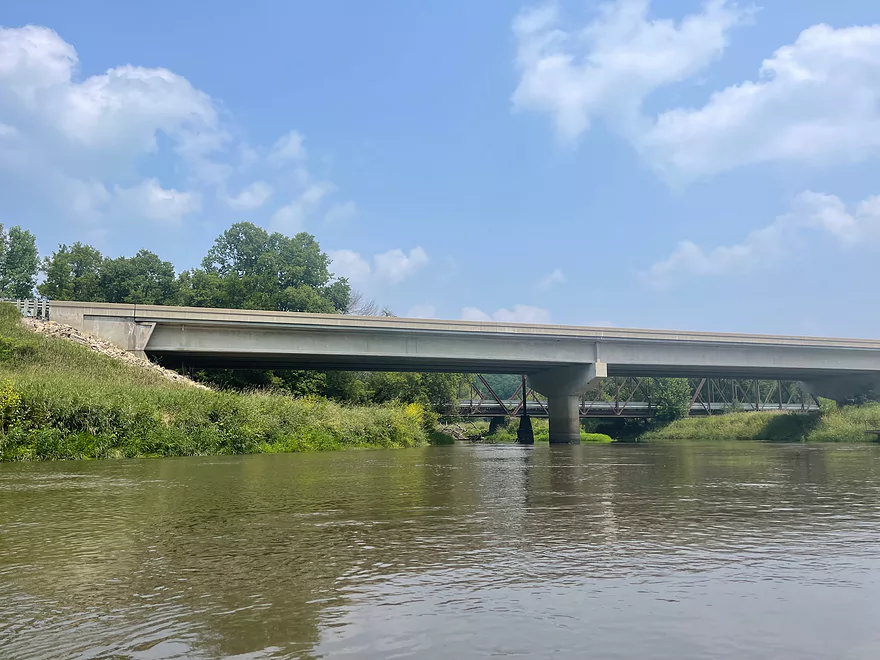
Hwy B bridge
Bluffs start to appear after Hwy B
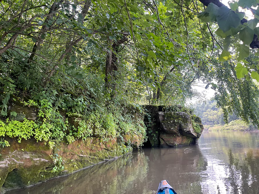
Start of outcrops
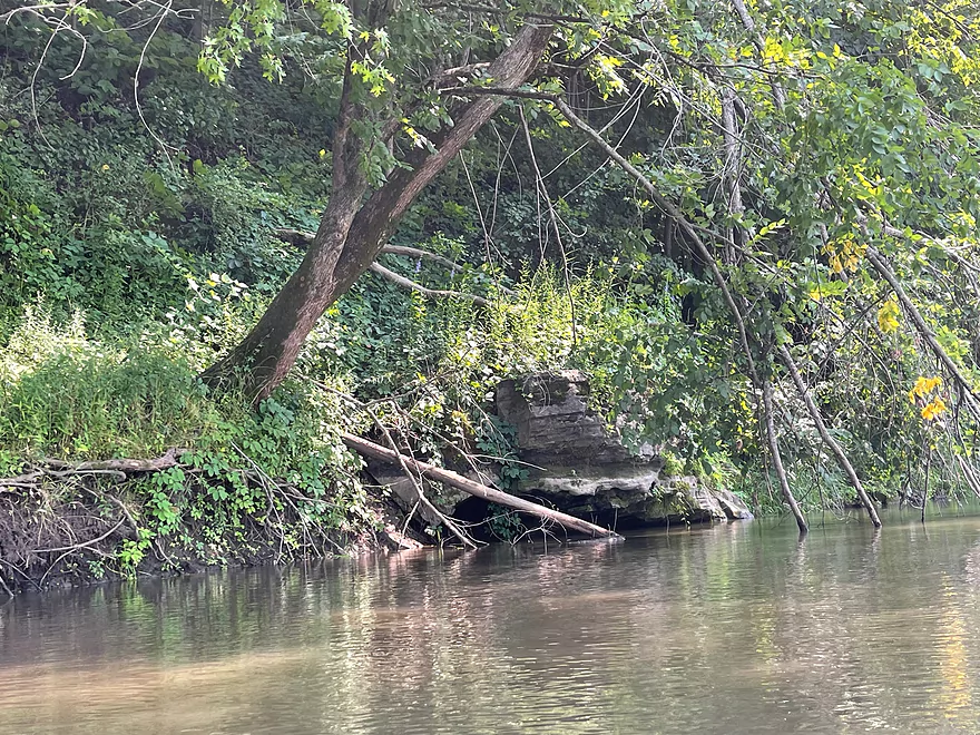
Outcrop on the left side
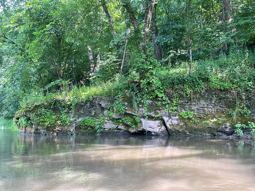
Outcrop on the right side
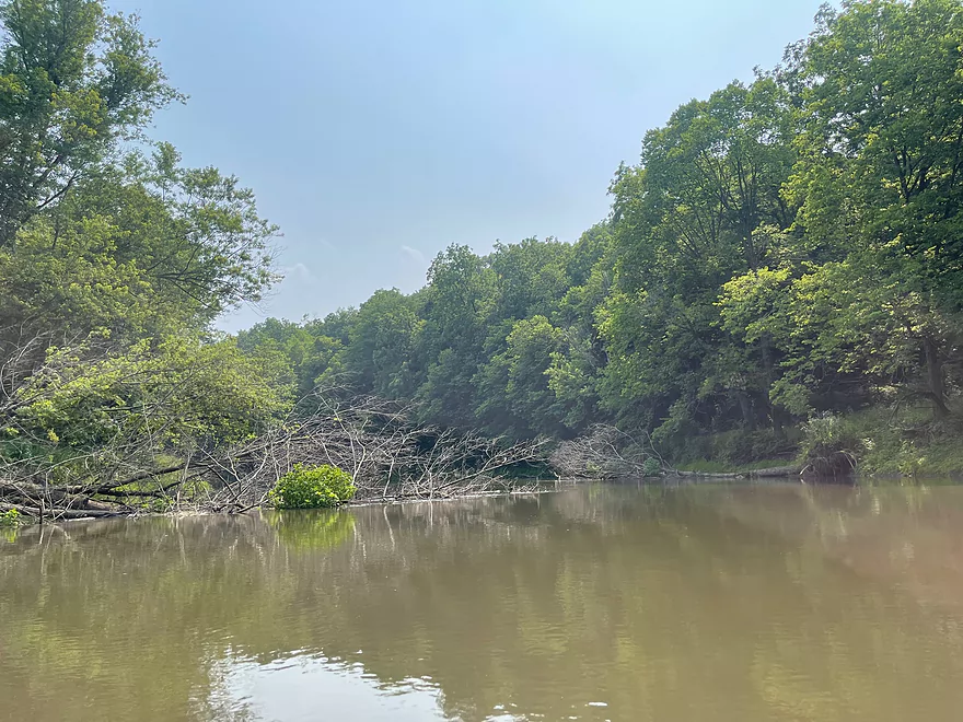
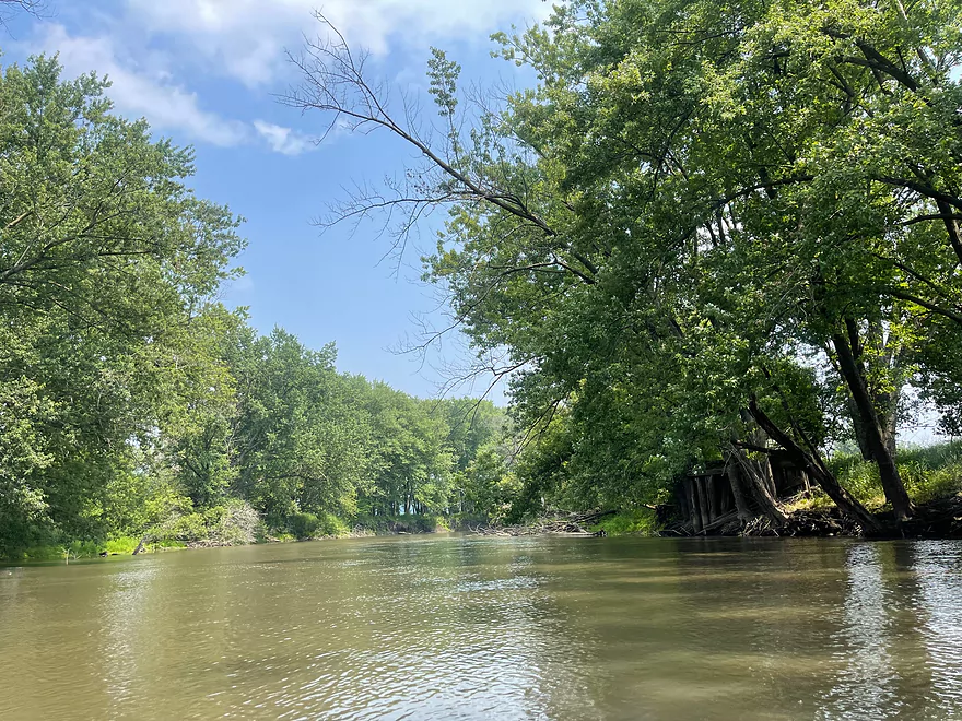
More deadfall that is easy to paddle around
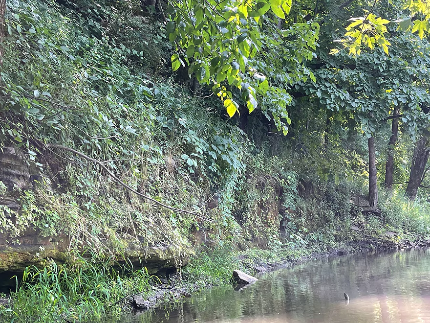
Another outcrop but covered by vegetation
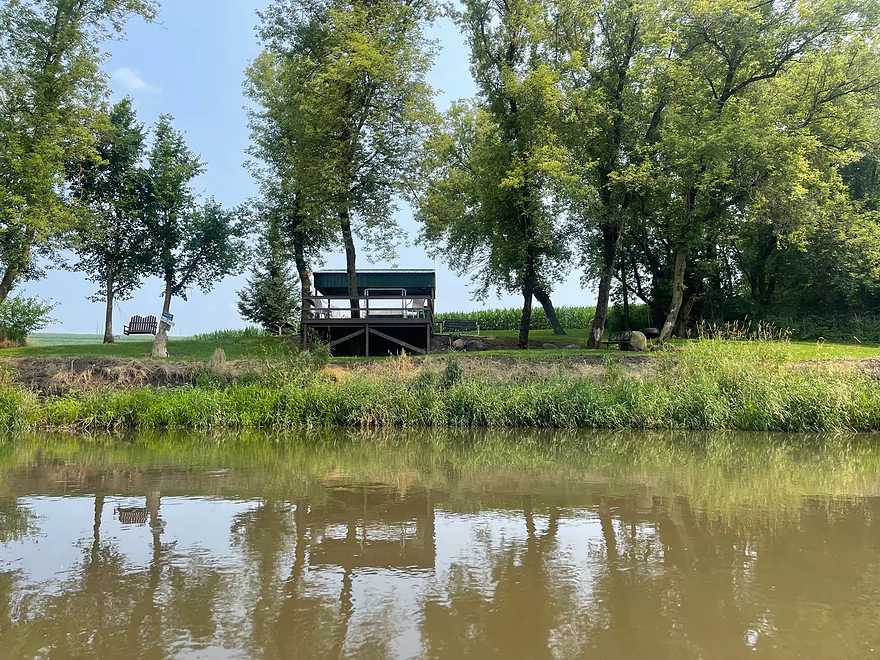
Small park that seems to be private
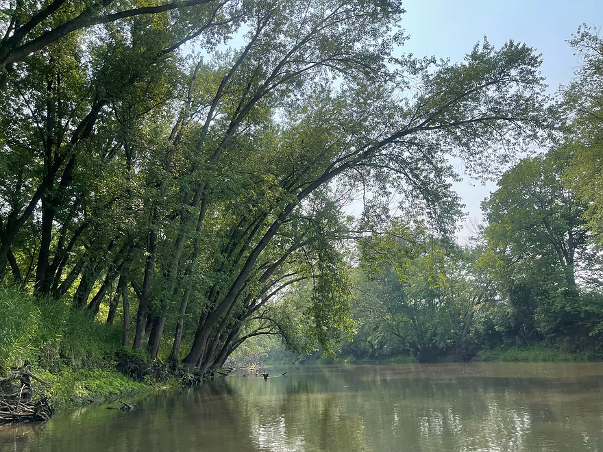
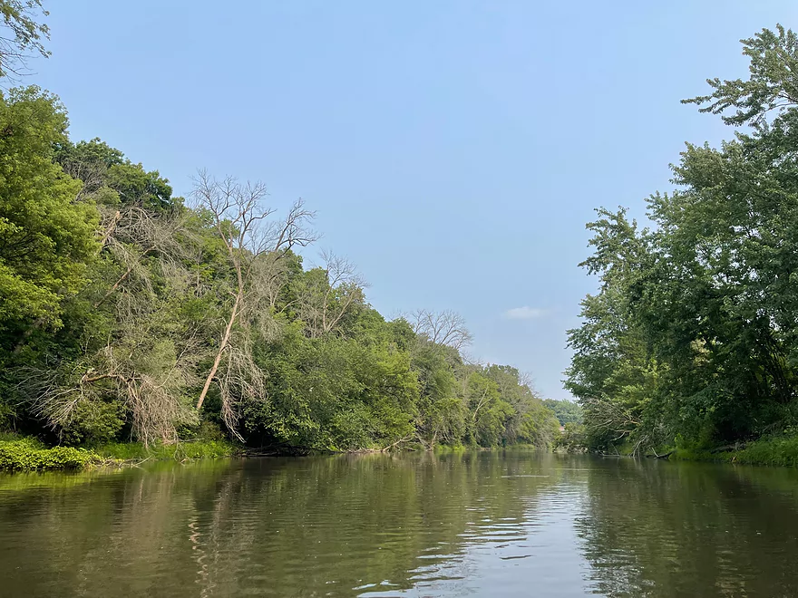
Trees bending over the river
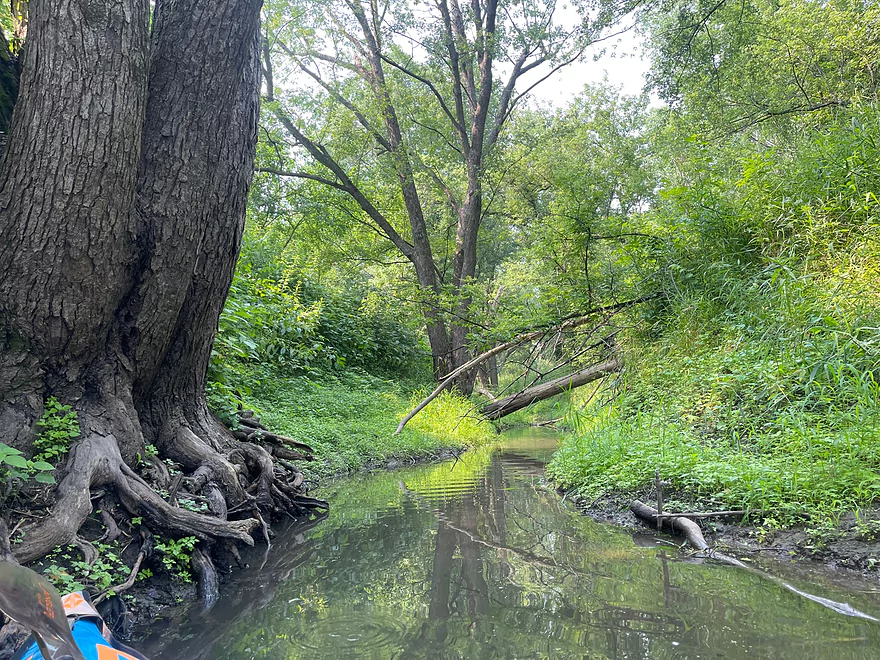
Small creek
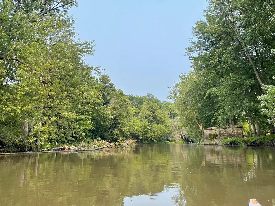
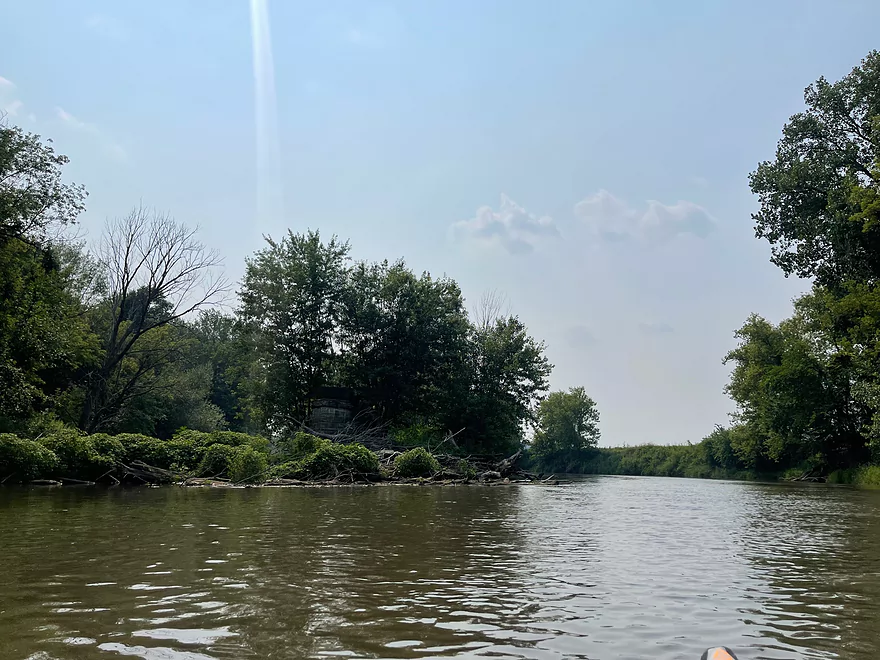
Another abandoned bridge pier approaching Martintown
Martintown
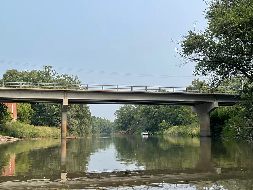
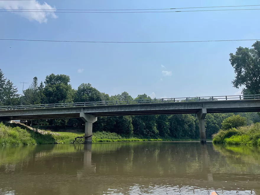
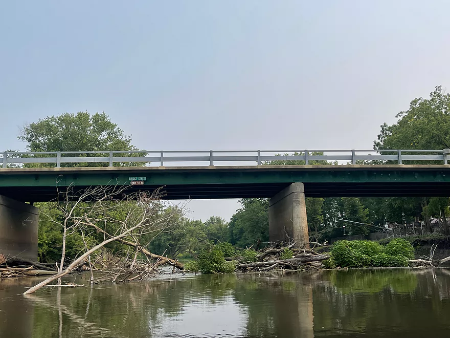
Hwy M Bridge
The state line, entering Illinois
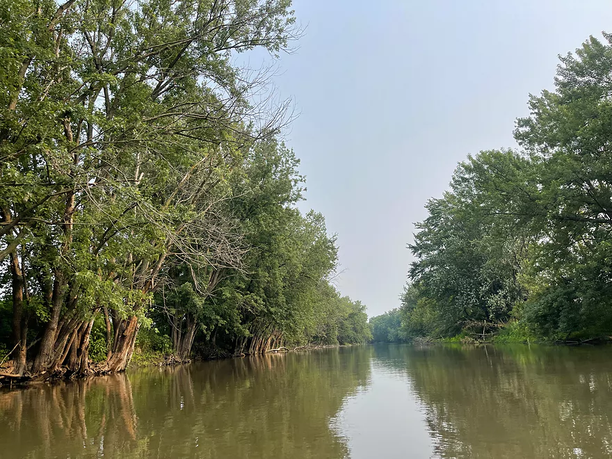
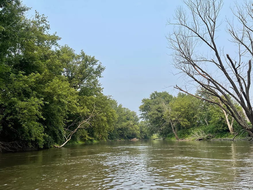
Thin trees line the banks
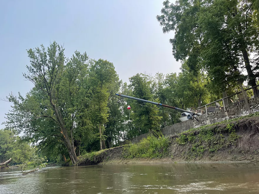
Bridge Street in Winslow
Bobber’s Tap
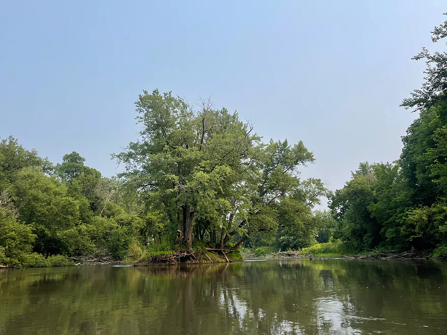
Island shortly after the Bobber’s
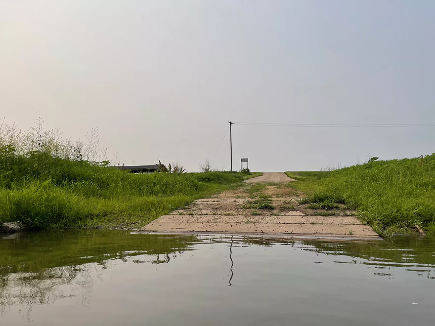
Take-out at Brewster’s Landing
Paradise Cove in Winslow
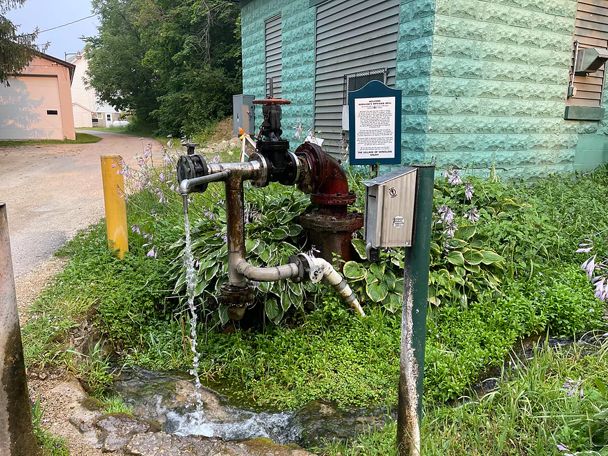
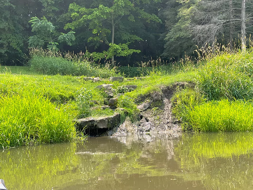
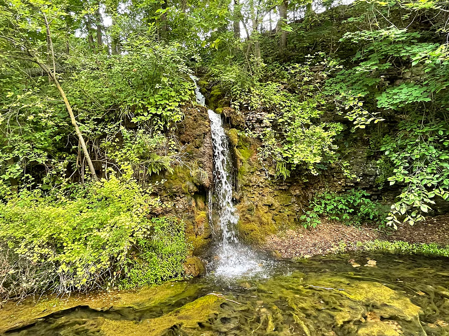
Artesian well at Paradise Cove
Pecatonica River – State Line


The Pecatonica is a very muddy river but maintains a good depth. This section is wide enough to avoid deadfall and is deep enough for motorboats. There were multiple pontoon boats parked along with a couple boats fishing but traffic was low.
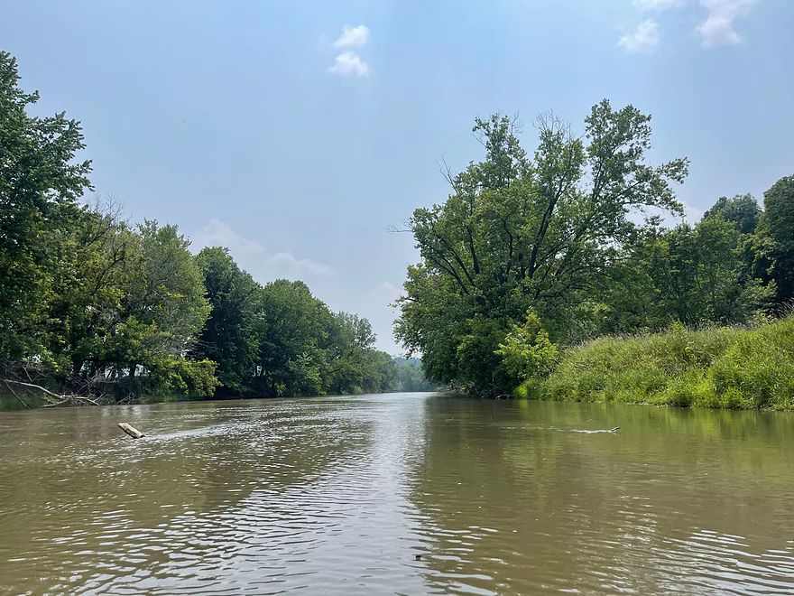
The trip starts at the Browntown Boat Ramp, which is an excellent launch from Hwy 11. The scenery starts with mainly trees along the edges with farm fields right behind them. After the Hwy B bridge, the best scenery of the trip appears with multiple outcrops and bluffs.
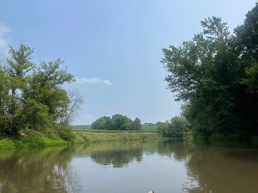
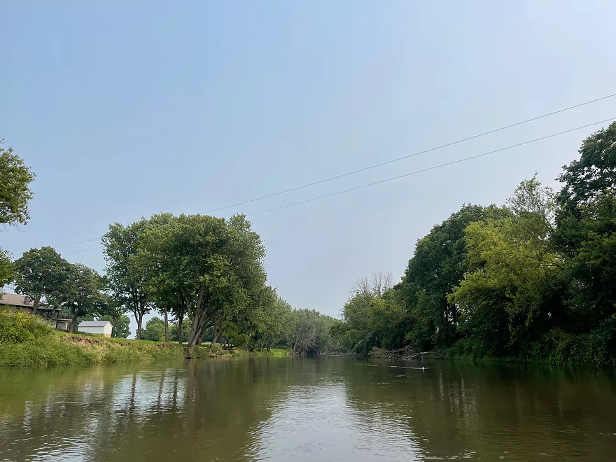
After about a mile, the scenery returns to farm fields and trees along the river bank but in more of a valley. Forests pick up approaching Martintown.
Once past the Hwy M bridge, the trip continued into Illinois shortly after and the scenery goes back to farm fields lined with trees on the banks. Bridge Street crosses at Winslow, and the river turns east for the final stretch to Brewster’s Landing.
The river is very muddy but this stretch of the Pecatonica River is great to paddle in periods of low water since this stretch is fairly deep. It’s also wide enough where there are no log jams and is a very easy trip.
Thanks Peter for the review! WisconsinRiverTrips.com is always very appreciative of guest reviews, and if you the reader is ever interested in submitting one, you can use this online form.
Detailed Overview
- Upstream of Hwy X: I think the river up here is too shallow to run.
- Hwy X to Hwy G1st: 4.2 miles. This section is a small creek and may need high water. Some logjams and probably small outcrops. Hwy X is not a great access and lacks privacy.
- Hwy G1st to Hwy E: 3.4 miles.
- Hwy G1st to Hwy G2nd/Mifflin: 2.9 miles. Great section with many rock outcrops and light rapids. Shallow, but becomes much deeper after the Livingston Branch joins up. Two fences, but easy to get past.
- Hwy G2nd/Mifflin to Hwy E: 0.5 miles. Short, open section heavily grazed by nearby beef cattle. Some fun rapids and outcrops are on this segment. One fence to duck under (quite manageable).
- Hwy G2nd/Mifflin to Hwy A: 4.4 miles. An excellent prospect with good current, outcrops, a state natural area, and few logjams. Martin (reader comment) kayaked this section and wrote a nice summary here that you can read.
- Hwy A to Peniel Road/Hwy J: 1.7 miles. Maybe two outcrops and two major logjams.
- Peniel Road/Hwy J to Jones Branch Road: 2.5 miles. Some congested woods with maybe 3 logjams and 2-3 outcrops.
- Jones Branch Road to Powell Road: 3.1 miles. A nice peaceful stretch with a few outcrops, 2 sets of light rapids, and one serious logjam.
- Powell Road to Oak Park Road: 8.0 miles. A very open section with no logjams. Highlights include green rolling hills, oak savannas, a few rapids, and one outcrop. Lowlights include four low fences.
- Powell Road to Hwy 151/Blackstone Cattle: 4.4 miles. The more scenic of the two sections with scenic hills and one outcrop. There are two low electric fences to duck under.
- Hwy 151 to Oak Park Road: 3.6 miles. This section had more corn and trees and wasn’t as interesting, but still was decent. There is one low electric fence and one super low barbed wire fence.
- Oak Park Road to Hwy O: 3.7 miles. Likely some logjams but also some outcrops at the end. Oak Park Road is a muddy but doable put-in.
- Hwy O to Hwy G: 6.0 miles. Some scenic moments, but mud and logjams are detractions. Put-in and take-out are muddy.
- Hwy G to Darlington/Black Bridge Park: 8.5 miles. A decent prospect. As of 2020, there is a large logjam on this leg that requires a difficult portage up steep and muddy banks. This might be cleared out for the 2021 Darlington Canoe Festival.
- Darlington/Black Bridge Park to Roller Coaster Road: 4.9 miles.
- Black Bridge Park to Wells Street Access: 0.7 miles. A great stretch though the town of Darlington. The highlight is a section of Class 1 rapids where the old mill dam used to be.
- Wells Street Access to Roller Coast Road: 4.2 miles. A decent stretch, but no outcrops, the banks are steep/muddy and there are two partial logjams to circumnavigate around. Not bad...not great.
- Roller Coaster Road to Walnut Road: 7.3 miles. While one of the nicer legs on the lower Pecatonica, the river has been too badly damaged by erosion to be an elite paddle. The highlight is a sandstone outcrop.
- Walnut Road to Riverside Road: 5.5 miles. Mediocre prospect flanked by a lot of farmland. Excellent put-in and take-out.
- Riverside Road to Hwy 78 Canoe Landing: 3.2 miles. Likely an uninteresting leg with lots of farmland and large mud banks. I doubt there are many bluffs. There may be one major logjam.
- Hwy 78 Landing to Gratiot Conservation Club Landing: 5.8 miles. A mediocre stretch. Much of this is wide, slow, and straight...but there are a few nice wooded bluffs.
- Gratiot Conservation Club Landing to Sargent Road: 4.7 miles. Maybe a weaker section.
- Sargent Road to Hwy D/N: 4.6 miles. Flows partly through a SNA and by a valley ridge so might be interesting.
- Hwy D/N to Hwy 11 Boat Ramp/Browntown: 8.8 miles. The East Branch comes in and doubles the river (now pretty big).
- Browntown to Brewster's Landing: 12.2 miles.
- Hwy 11 Boat Ramp/Browntown to Hwy B: 4.8 miles. Generic stretch with farm fields and a thin layer of trees. Take-out might be tricky because of a guardrail but I think it’s doable.
- Hwy B to Hwy M: 4.6 miles. A good leg with scenic bluffs and outcrops. Put-in is meh…take-out might be bad.
- Hwy M to Brewster's Landing: 2.9 miles. Mediocre stretch that crosses into Illinois.
- Brewsters Landing to McConnell Bobtown Landing: 7.2 miles. Mostly straight and boring. But there is a wooded section with bluffs that might be nice. Could be an outcrop or two.
- McConnell Bobtown Landing to McNeil's Damascus Landing: 8.5 miles. River flows through a more rugged and varied part of Stephenson County. Still some boring parts, but also some nice bluffs and limestone outcrops.
- McNeil's Damascus Landing to Wes Block Trailhead: 8.3 miles. Mostly a straight and muddy paddle. But there should be a few nice bluffs on the west bank.
- Wes Block Trailhead to Tutty's Crossing: 6.4 miles. River enters Freeport (IL). This should be a pleasant stretch with fewer farm fields, nicer woods, and a few attractive trail bridges.
- Tutty's Crossing to Hancock Ave Boat Ramp: 0.7 miles. Wooded urban stretch.
- Hancock Ave Boat Ramp to Junior's Place/VFW: 2.3 miles. River leaves Freeport. This is likely a mediocre stretch.
- Junior's Place/VFW to Ridott Fishing Park: 14.8 miles. A very long stretch that I'm not sure would be that interesting. There are rapids by the Brown's Mill Dam that may have to be portaged.
- Ridott Fishing Park to Attens Landing: 6.7 miles. I don't know much about this stretch. It meanders more and has thicker woods so may be nicer.
- Attens Landing to Winnebago County Fairgrounds Ramp: 7.5 miles. Much of this flows through the Pecatonica Wetlands Forest Preserve.
- Winnebago County Fairgrounds Ramp to Sumner Park: 0.4 miles. There are tricky rapids where a dam was mostly removed. Depending on water levels, you may have to portage this.
- Sumner Park to Pecatonica River Forest Preserve Ramp: 6.0 miles. A north flowing leg of the river that is mostly undeveloped and contains some floodplain forests.
- Pecatonica River Forest Preserve Ramp to Trask Bridge Ramp: 7.0 miles. This is a relatively good prospect with large clay banks and a few nice woods.
- Trask Bridge Ramp to Two Rivers Ramp: 12.6 miles. Paddling author Mike Svob seemed to like this leg. Here the river meanders and twists more. The woods are also more impressive. Much of this is still likely wide, slow, and boring though. The take-out is close to the mouth of the Sugar River.
- Two Rivers Ramp to Boat Launch Mactown: 9.8 miles. The last leg of the Pecatonica before it empties into the Rock River. Significantly enlarged by the Sugar River, I suspect this is a big and boring leg.
Trip Map
Overview Map
Photos Size: