
Sugar River
This is a popular river with Madison locals. The best parts of the river are those upstream of Paoli.
Trip Reports
White Crossing Road to Valley Road
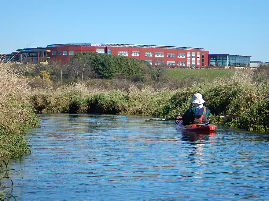
Date Paddled: October 22nd, 2018
Distance: 4.9 miles
Time: 3 hours 7 minutes
This is about as far upstream as you can paddle on the Sugar River. Although not super exotic, this is still a pleasant paddle through open grasslands and marsh.
Read More...Hwy 69 to Hwy A
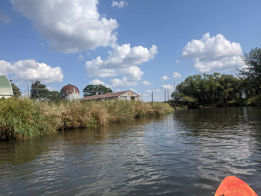
Date Paddled: September 19th, 2021
Distance: 7.7 Miles
Time: 5 hours with a long lunch break
A guest review for the Sugar River near Paoli.
Read More...Hwy 69 Landing to Highway A
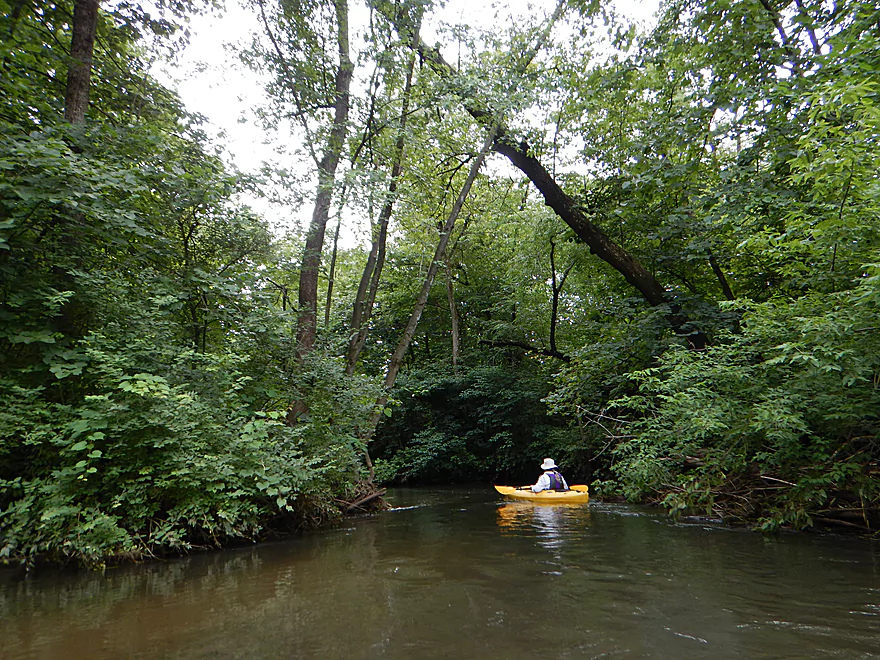
Date Paddled: July 2nd, 2016
Distance: 7.7 Miles
Time: 4 hours 15 minutes
A surprisingly nice paddle on the upper Sugar. A narrow channel, lush wooded banks, and up-tempo current make this a worthwhile trip.
Read More...Hwy A to Belleville Community Park
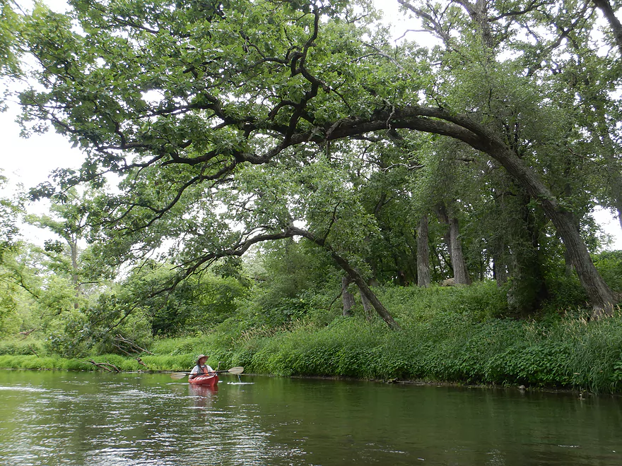
Date Paddled: July 2nd, 2022
Distance: 6.6 miles
Time: Expect 2-3 hours
This stretch of the Upper Sugar starts nice, but gets less interesting as it approaches the Belleville Dam.
Read More...Belleville Community Park to Exeter Park
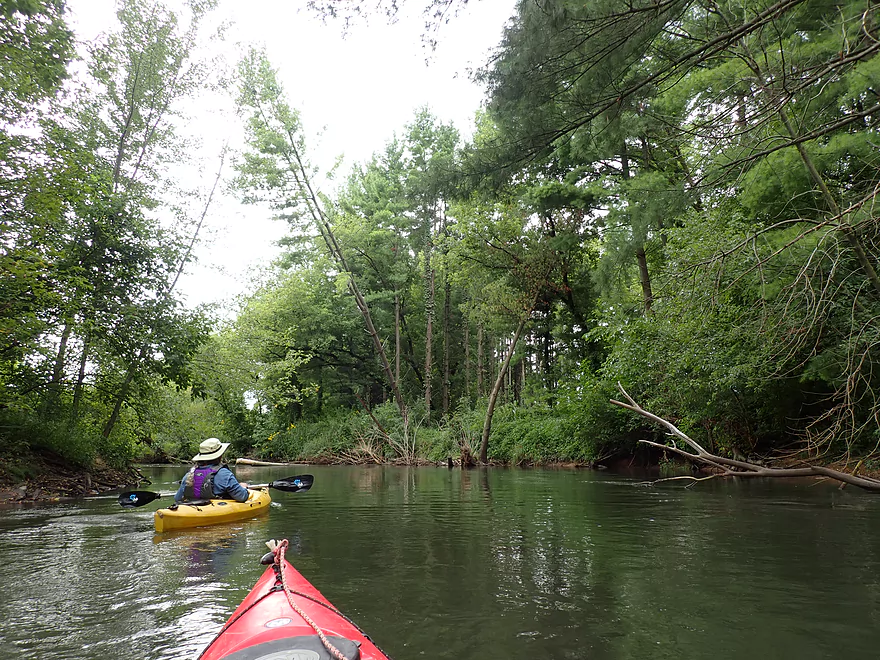
Date Paddled: August 31st, 2019
Distance: 4.7 miles
Time: 3 hours 36 minutes (2.5 hours would be more typical)
This is one of the nicer water trails on the Sugar River. Highlights include great access points, a few surprise sandbars, and an attractive wooded section.
Read More...Exeter Park to Hwy X Landing
Date Paddled: August 22nd, 2026
Distance: 5.9 miles
Time: Expect 3 hours
While not the best leg on the Sugar River, this was still a pleasant and nice paddle. Highlights included good current and countless wildflowers.
Read More...Hwy X to Attica
Date Paddled: June 21st, 2025
Distance: 5.4 miles
Time: Expect 2-3 hours
This was a pleasant float to do on a hot day. I enjoyed the trip, but the scenery and experience didn't measure up to my other Sugar River paddles.
Read More...Overview Map
Detailed Overview
- Upstream of Cty PD: Likely too many logjams.
- Cty PD to White Crossing Road: (0.4 miles) Mostly straight and likely channelized. Perhaps a few logjams. Could be a tight fit during low water.
- White Crossing Road to Valley Road: (4.9 miles)
- White Crossing Road to Bobcat Lane: (2.2 miles) Open, straight, and channelized... this is a simple but pleasant paddle with frequent vistas of Epic Systems (at the edge of Verona). There are a few logjams here that can be hopped over in high water.
- Bobcat Lane to Valley Road: (2.7 miles) Slower, twistier, and more wild than the upstream section, but less interesting. No noteworthy logjams.
- Valley Road to Riverside Road: (1.8 miles) There might be a logjam or two, as well as a problematic cattle fence.
- Note from Wade at Uppersugar.org: “The fence has been redesigned to be more paddling friendly. Both sections of the fencing now have a gap with vertically hanging PVC pipes that boats can pass through. It’s my understanding that this has worked well, but if you go down the river and have a different experience, please let me know.”
- Riverside Road to Hwy 69: (1.6 miles) There were fences and logjams here, but I think they have been cleared out.
- Hwy 69 to Cty A: (7.7 miles)
- Hwy 69 to Paoli (Montrose Town Hall): (3.5 miles) Fantastic section.
- Paoli to Hwy A: (4.2 miles) Good section... but not as scenic as the previous leg.
- Cty A to Belleville Park: (6.6 miles) Trip starts nice but becomes less interesting at the end by Belleville where the river is impounded by a dam.
- Belleville Park to Exeter Park: (4.8 miles) Nice paddle with scenic put-in and take-out. Highlights include a few sand and gravel bars and an attractive wooded section with good current.
- Exeter Park to Hwy X: (5.4 miles) A decent stretch... a bit weedy but pleasant with nice wildflowers. First half features deadfall to dodge in fast current. Second half is more open and nicer.
- Hwy X to Cty C (Attica): (5.0 miles) A simple leg. There is nothing really scenic about it... but it's not a bad paddle.
- Cty C to Cty EE: (6.4 miles) A mediocre prospect. Maybe logjams.
- Hwy EE to Albany Boat Ramp: (2.5 miles) A weak prospect because of the lake paddling.
- Albany Boat Ramp to Decatur Albany Road: (2.9 miles) A weak prospect.
- Decatur Albany Road to Decatur Park: (4.5 miles) A weak prospect with some flowage paddling.
- Decatur Park to Hwy F: (2.2 miles) A good prospect.
- Hwy F to Clarence Bridge Park: (4.6 miles) A good prospect with an exposed rock outcrop.
- Clarence Bridge Park to Hwy T: (5.9 miles) A good prospect.
- Hwy T to W. Beloit Newark Road: (1.9 miles) A good prospect.
- W. Beloit Newark Road to Nelson Road Boat Ramp: (4.6 miles) Avon Bottoms Wildlife Area is probably nice, but there might be some downed trees to negotiate.
- Nelson Road Boat Ramp to Haas Road: (6.6 miles) A good prospect.
- Haas Road to North Street: (4.1 miles) A good prospect.
- North Street to Harrison Road: (5.0 miles) A good prospect that ends at the Pecatonica River.
Nearby Guages

Videos
Comments
How did your trip turn out? Questions or comments? Feel free to leave your feedback.
