
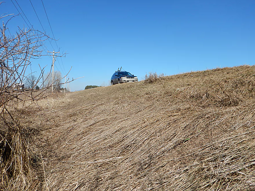
Ok shoulder parking on Hwy CX
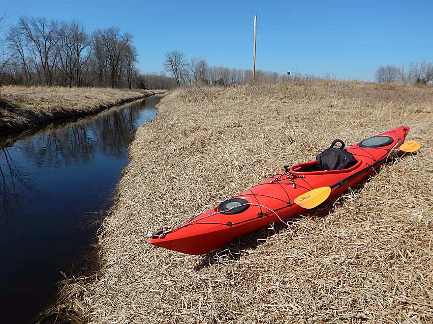
Easy access to the water
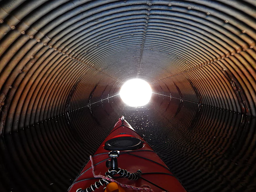
Time for a near death experience
Cell phone reception is not a problem on this creek
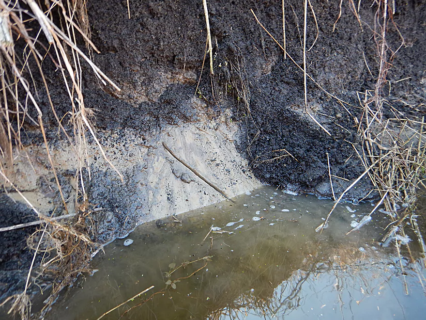
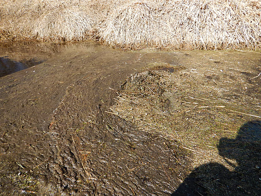
Pottery anyone? High quality natural clay.
A bridge is missing its steps…
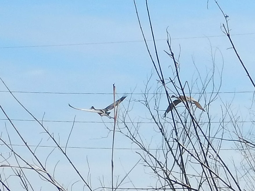
Saw a number of cranes by the creek
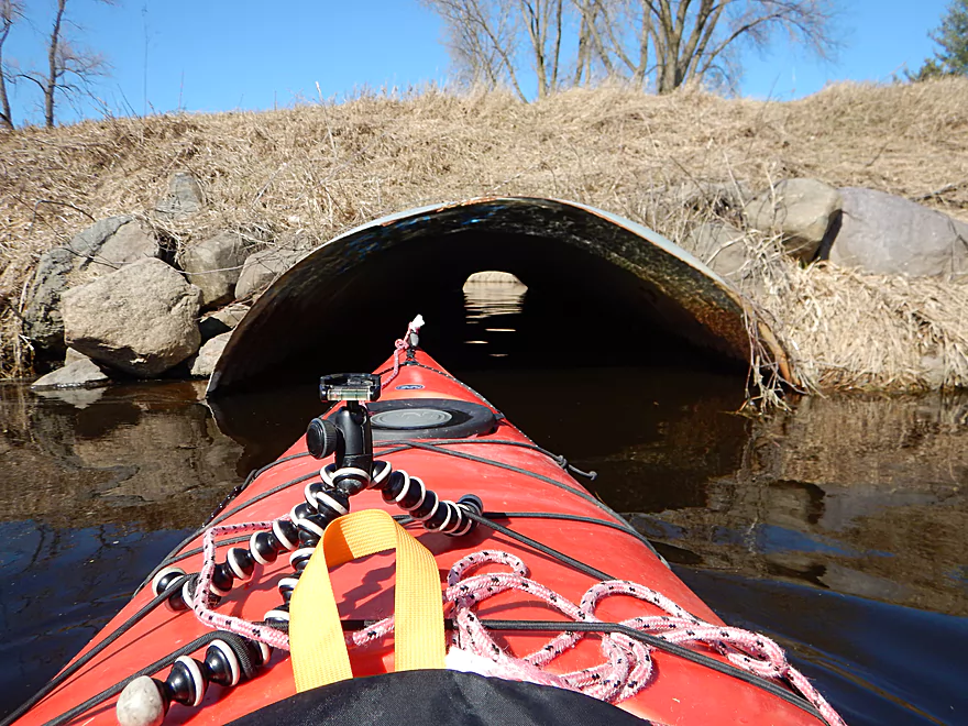
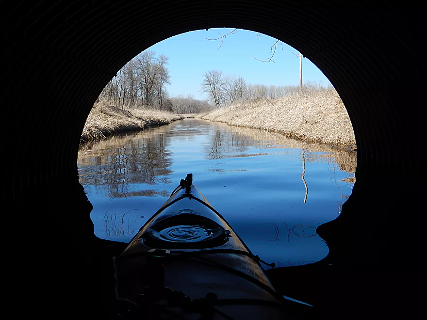
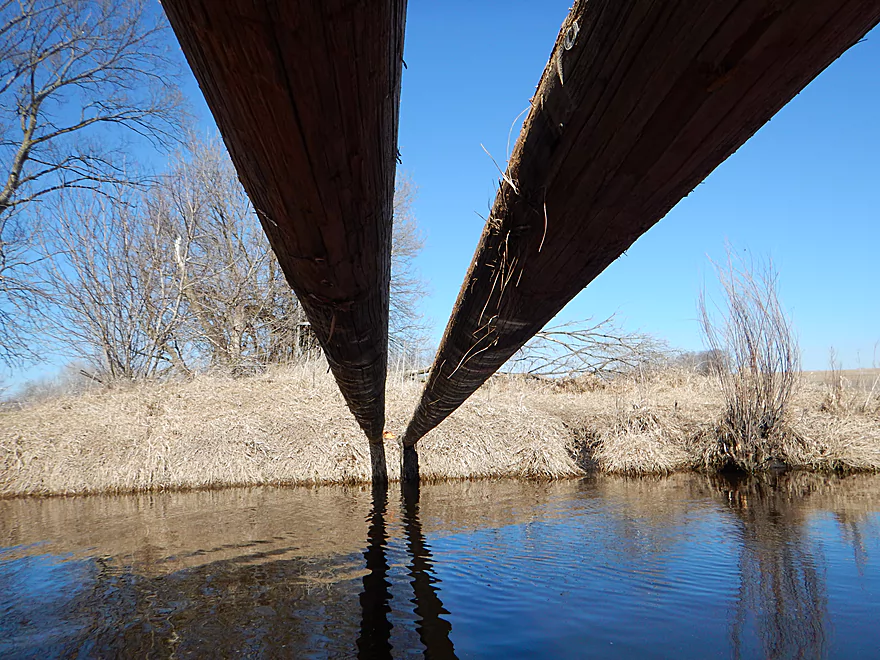
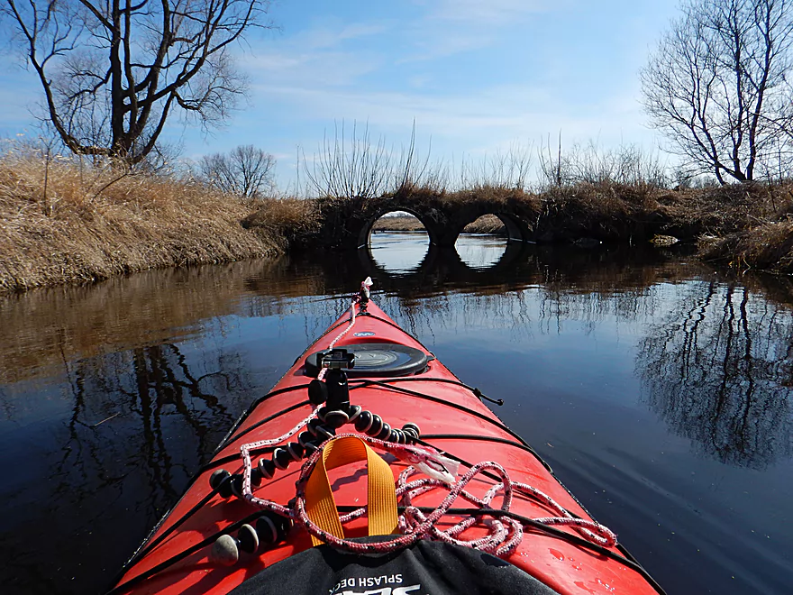
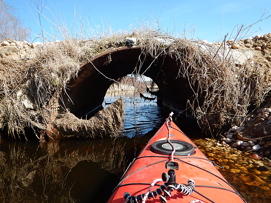
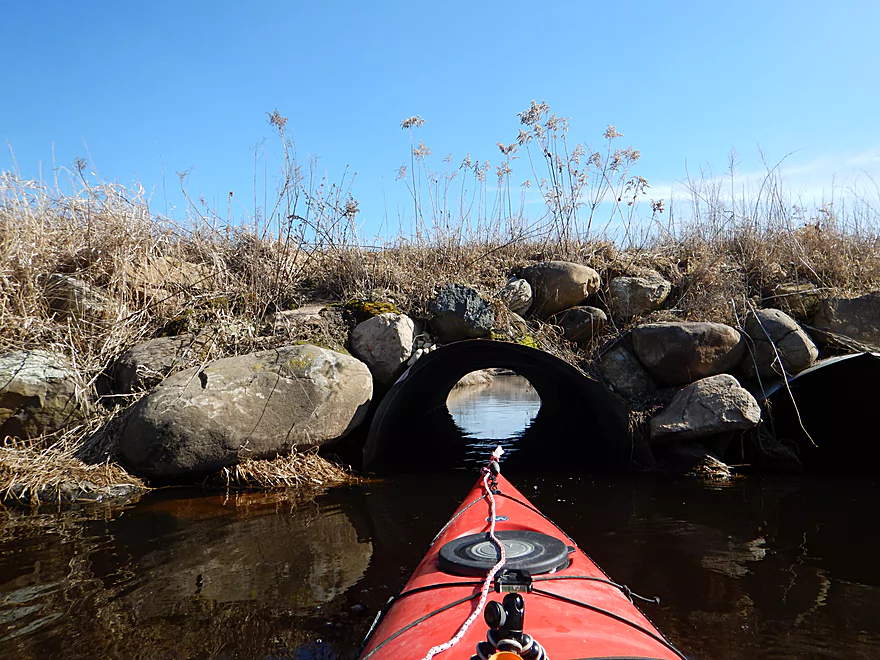
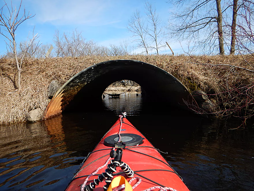
The Hwy O bridge is VERY low
And dips signficantly in the middle
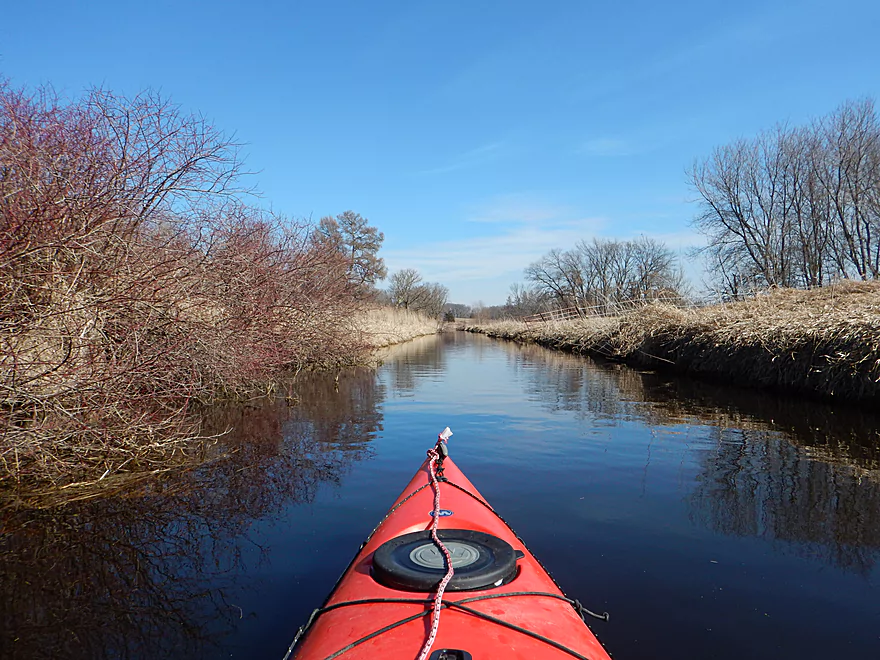
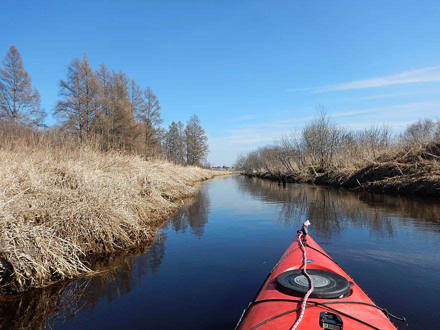
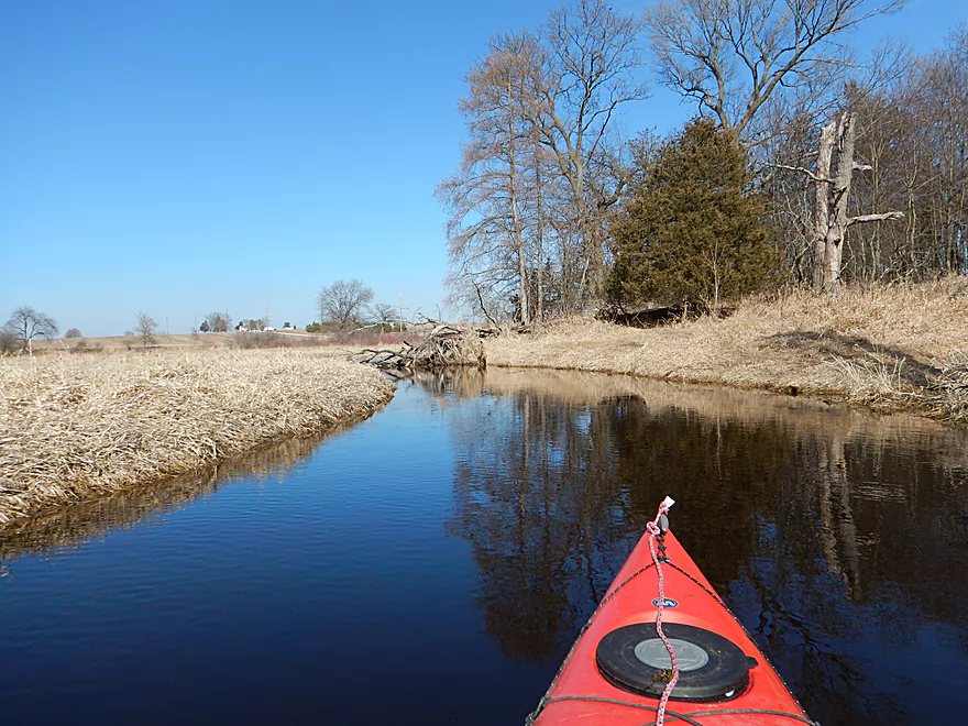
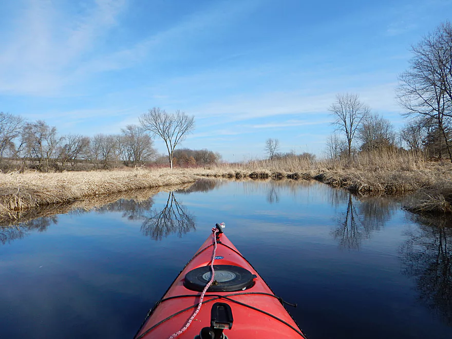
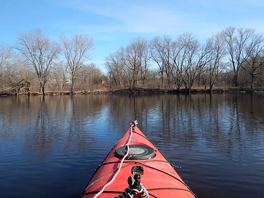
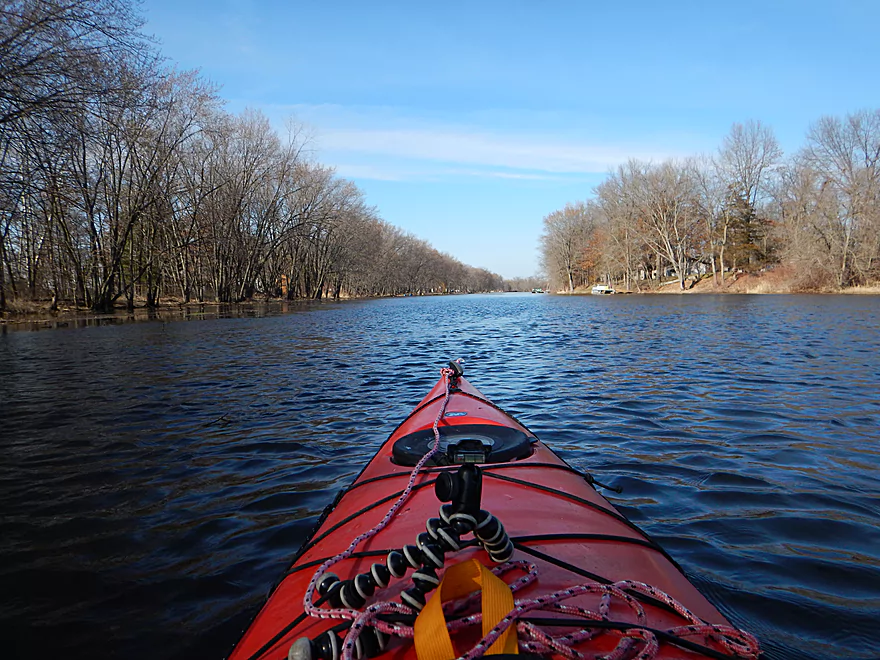
Good Earth Creek is giving me a cockeyed look
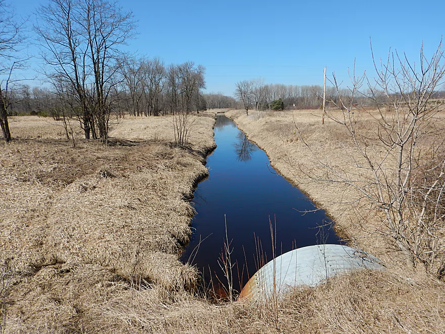
Good thing this wasn’t a low bridge
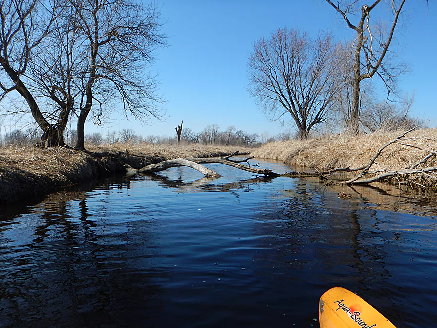
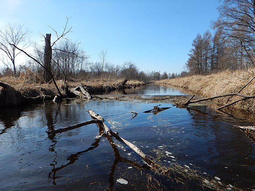
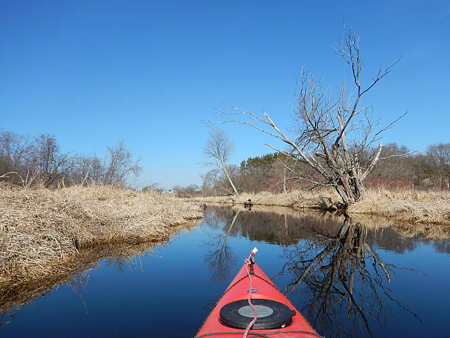
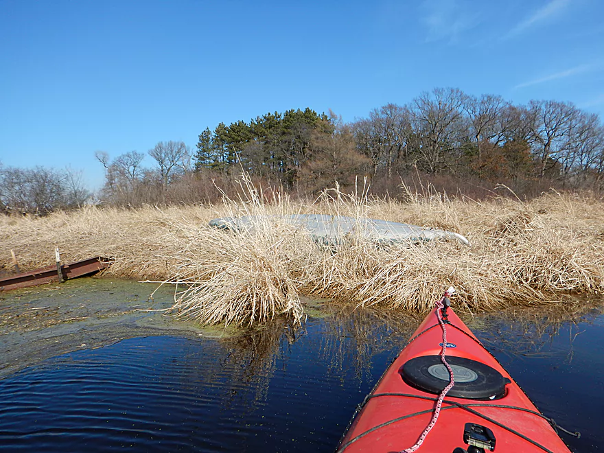
Just a few log jams and they were easy to get through
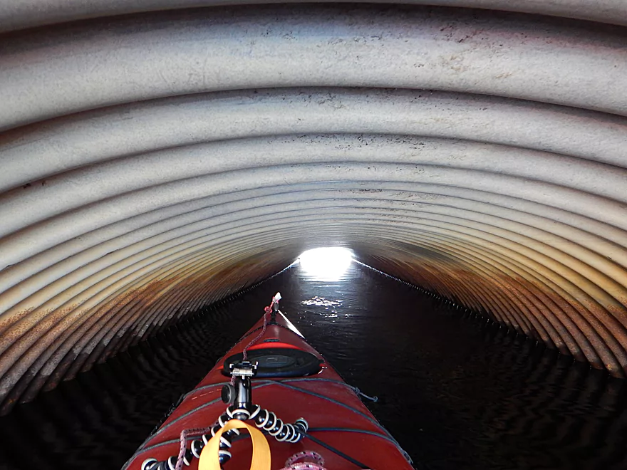
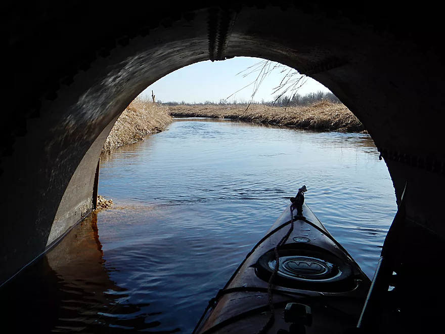
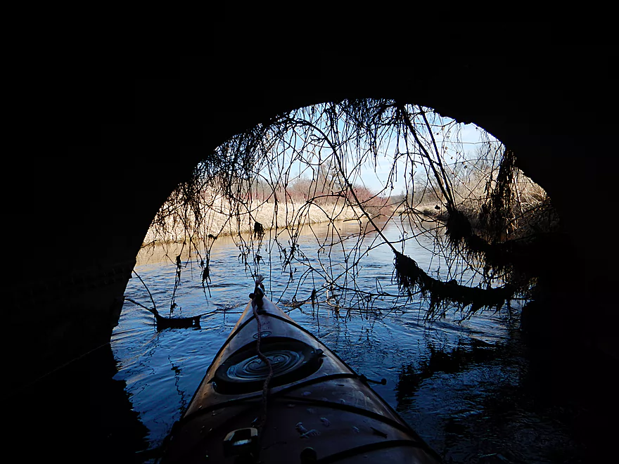
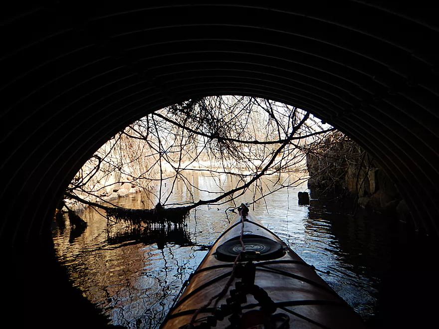
Entering the groto
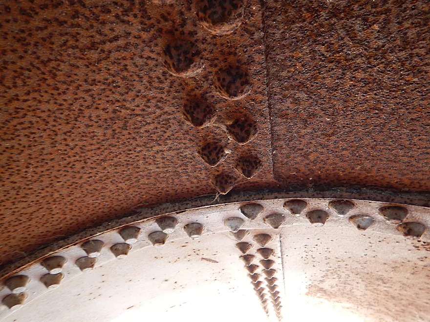
This hobbit bridge was difficult to get under
At times this is not the cleanest of creeks
With a running start, it was easy to go over this jam
Lots of duck blinds
Another bridge without steps
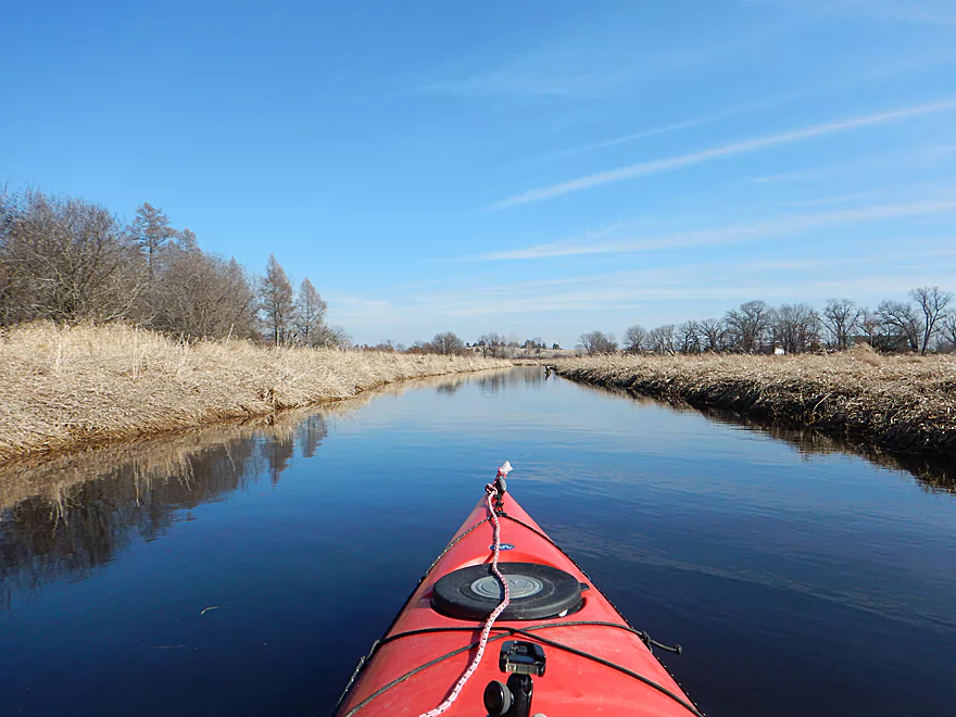
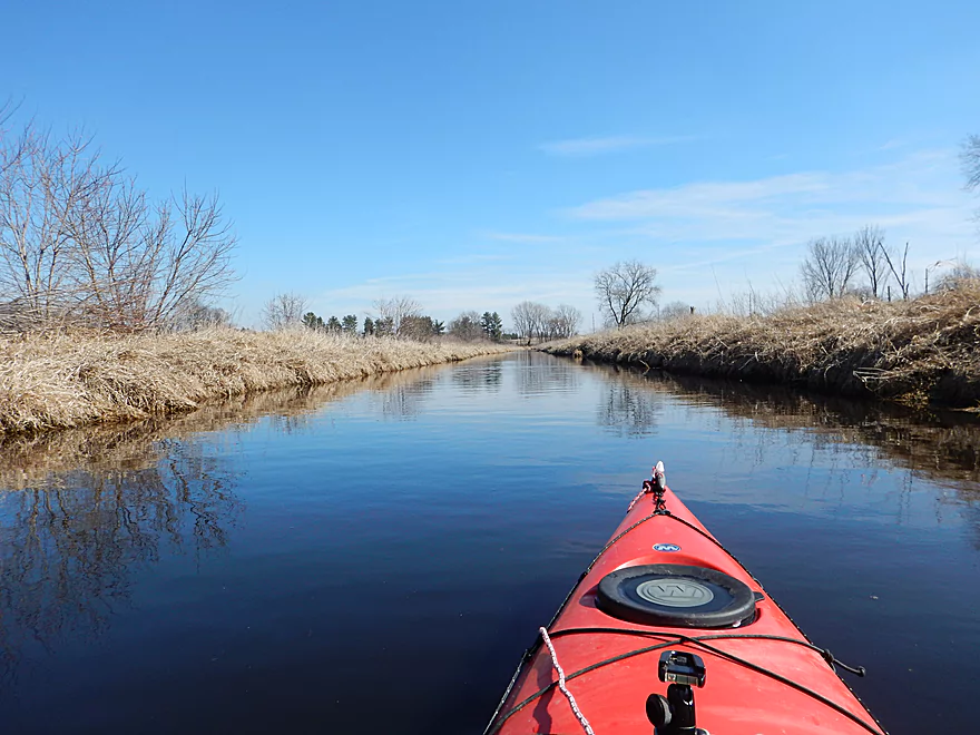
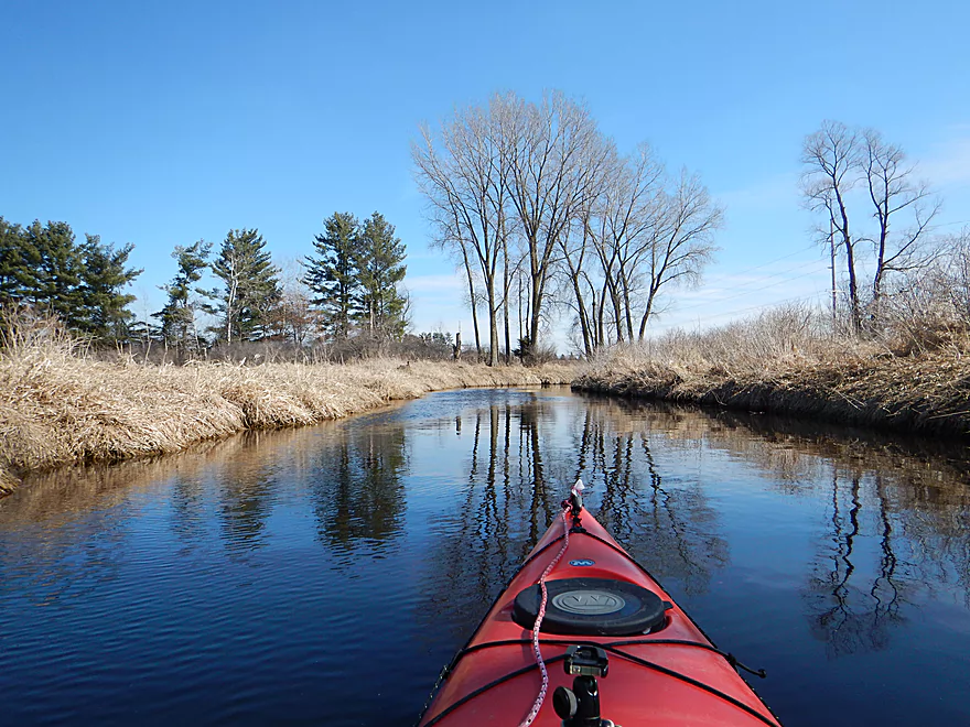
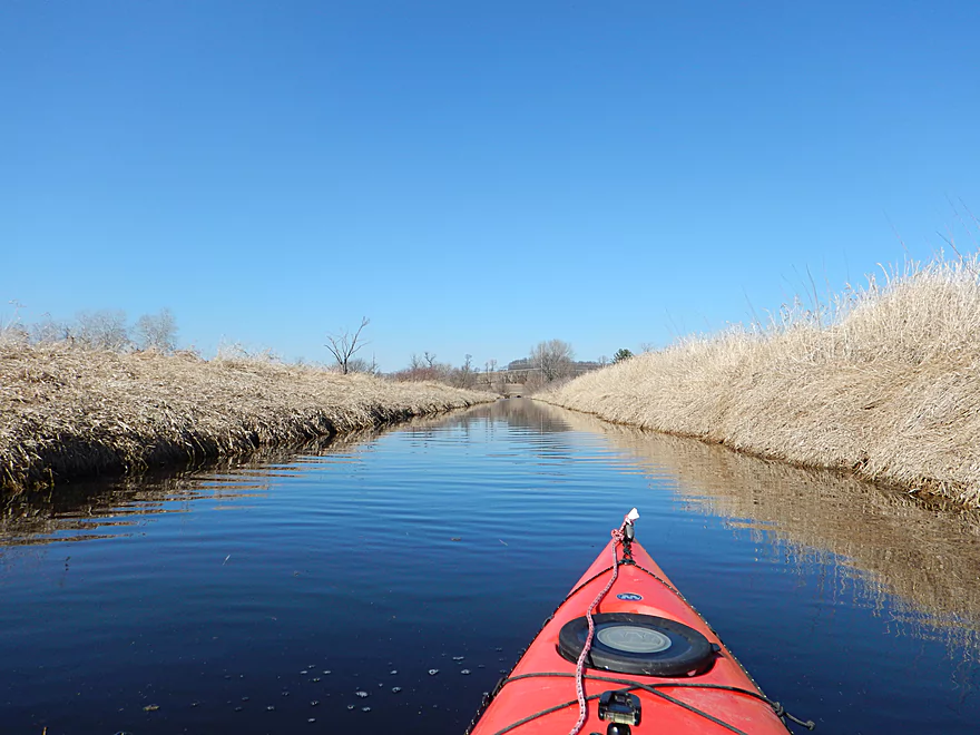
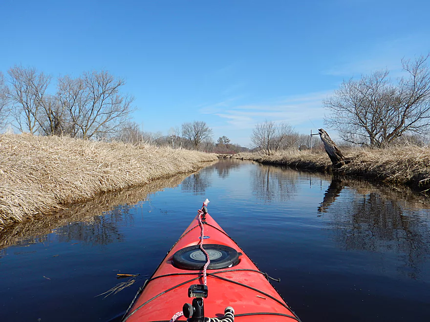
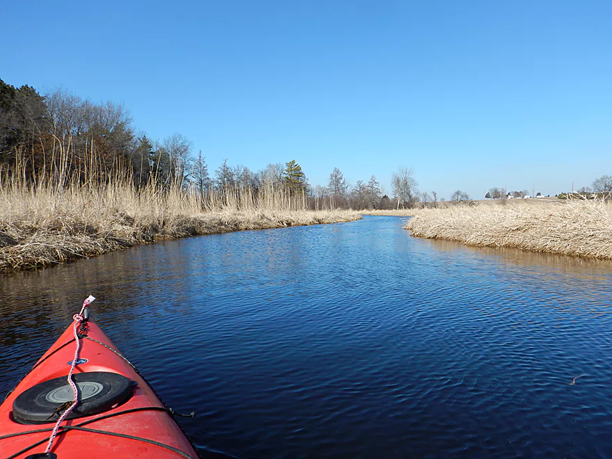
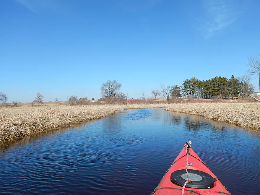
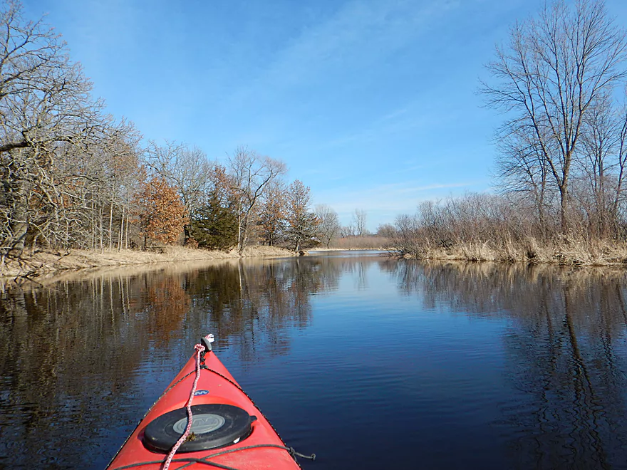
Blue sky reflects nicely on the water
A washed out walk-bridge
This will be on the Fox with the next flood
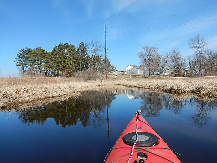
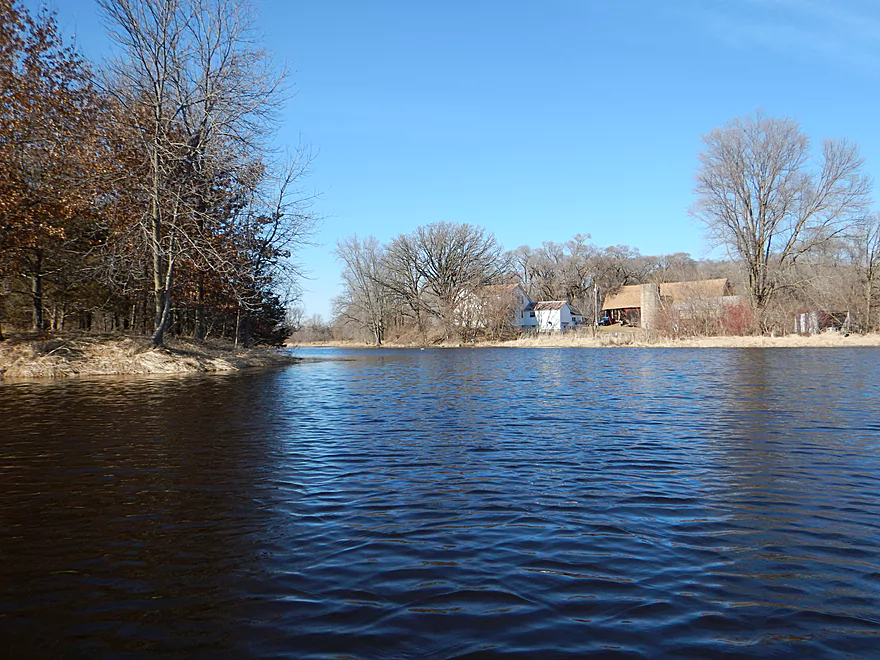
One of the few houses you will see on the trip
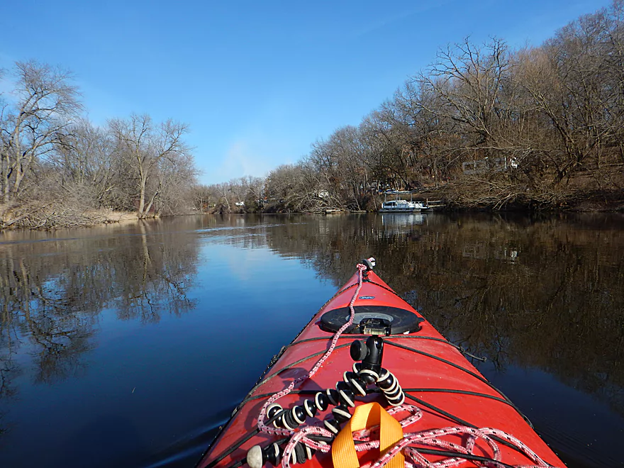
Paddling under Hwy T
Cool grapevines
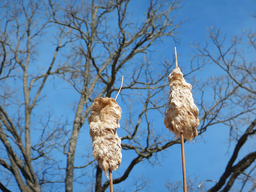
Molting cattails
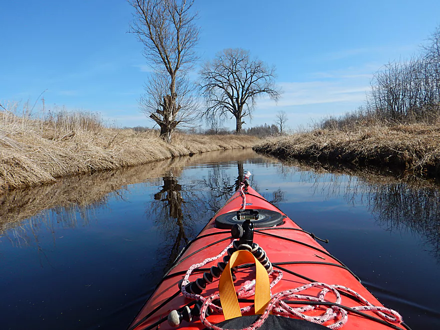
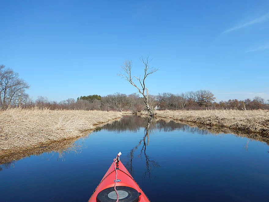
A rare hill
Coming up on the Fox River?
So I went left at a four way intersection
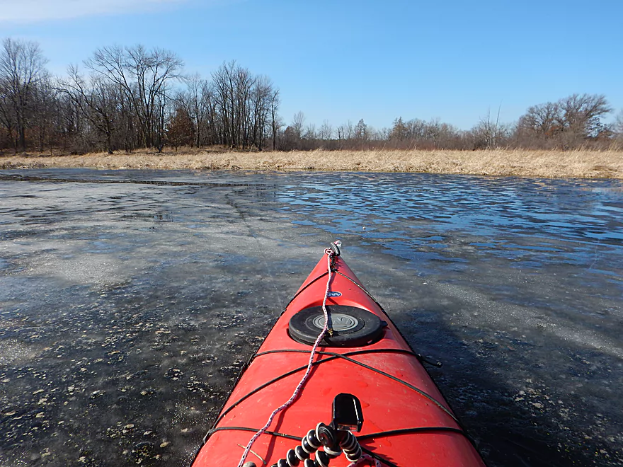
…and got blocked in by ice
After rewinding my steps, I am back on the creek
The Fox River confluence for real this time
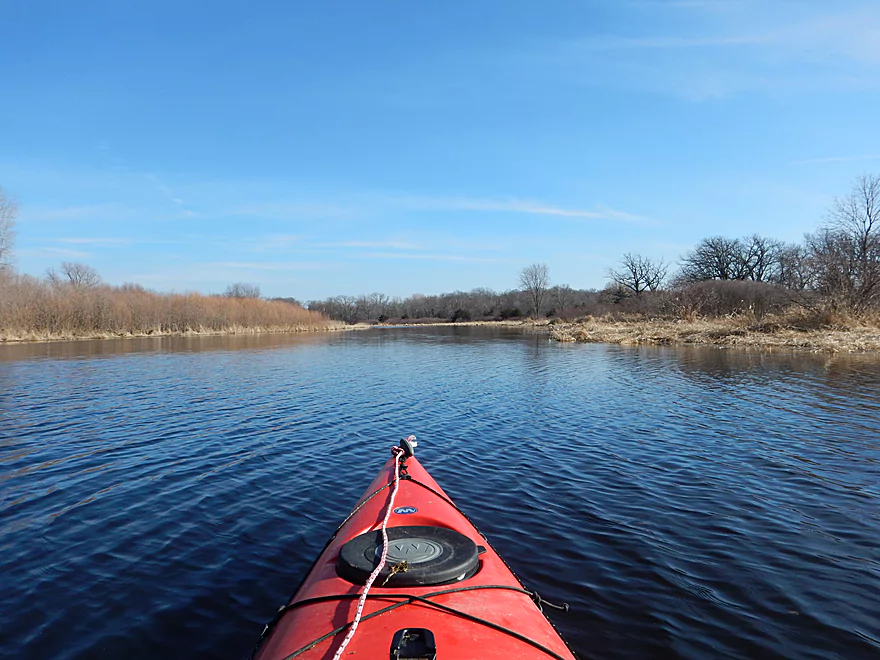
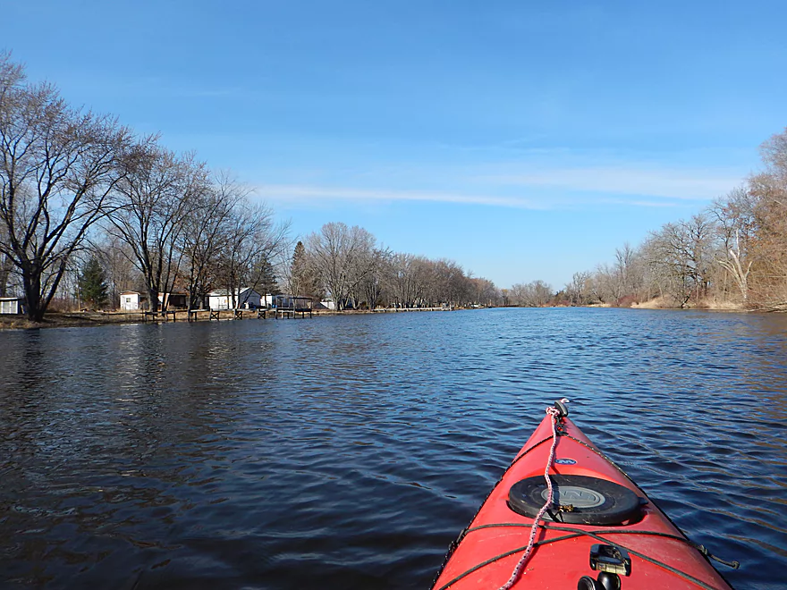
The Fox is pleasant, but big and slow
Entering the village of Moundville
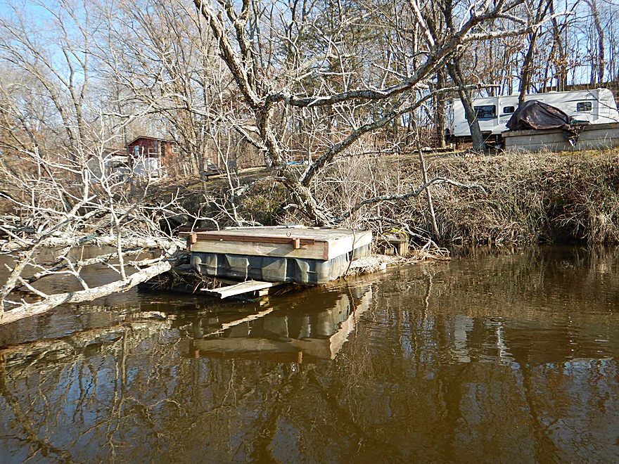
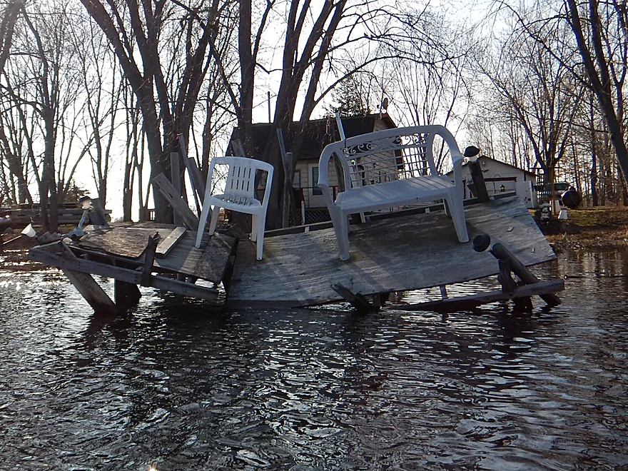
Tree catches runaway pier
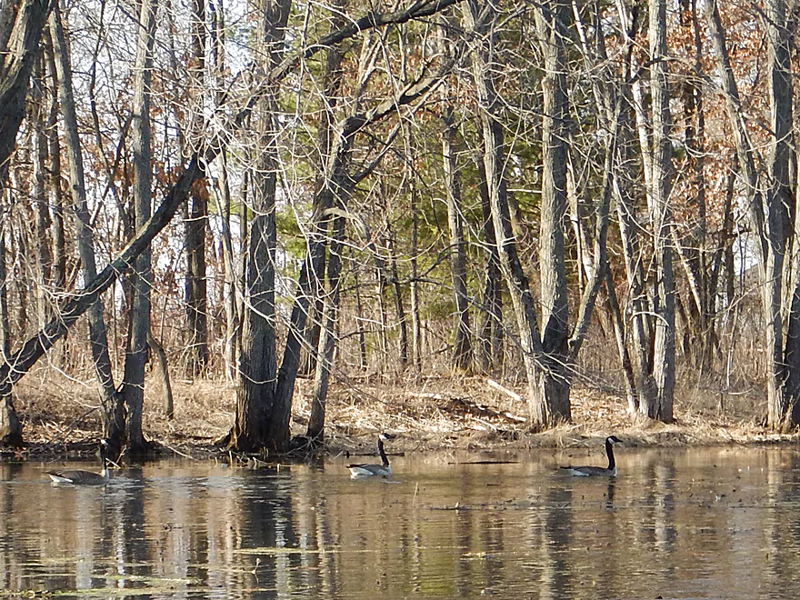
First geese of the year
Interesting…
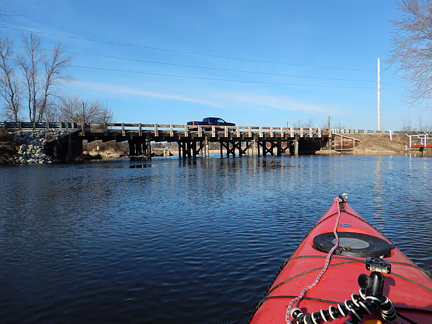
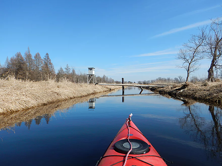
Hwy O is a unique wooden bridge
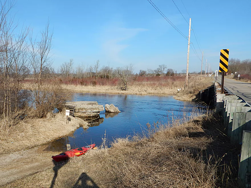
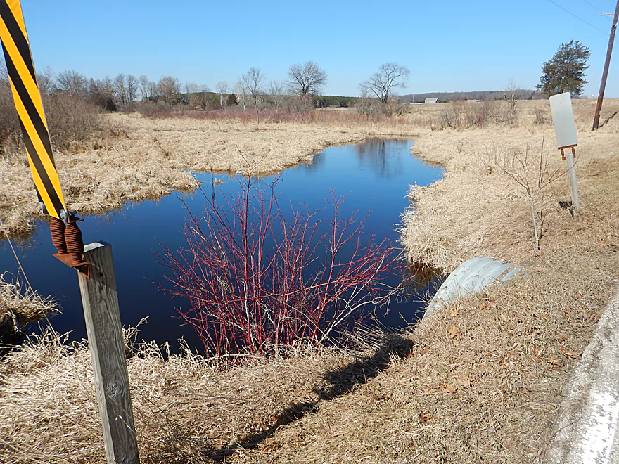
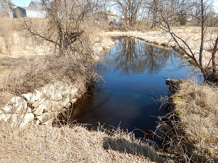
Very nice public ramp by Hwy O
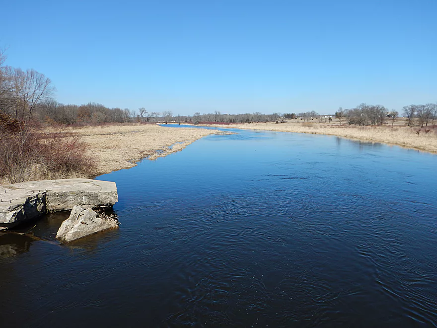
Looking downstream on the Fox River
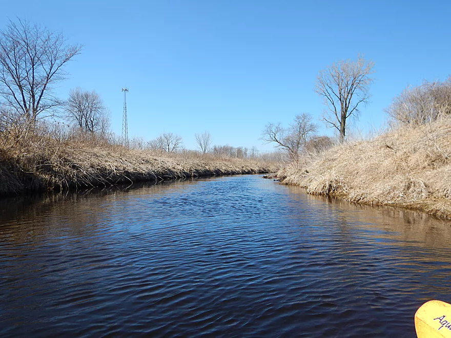
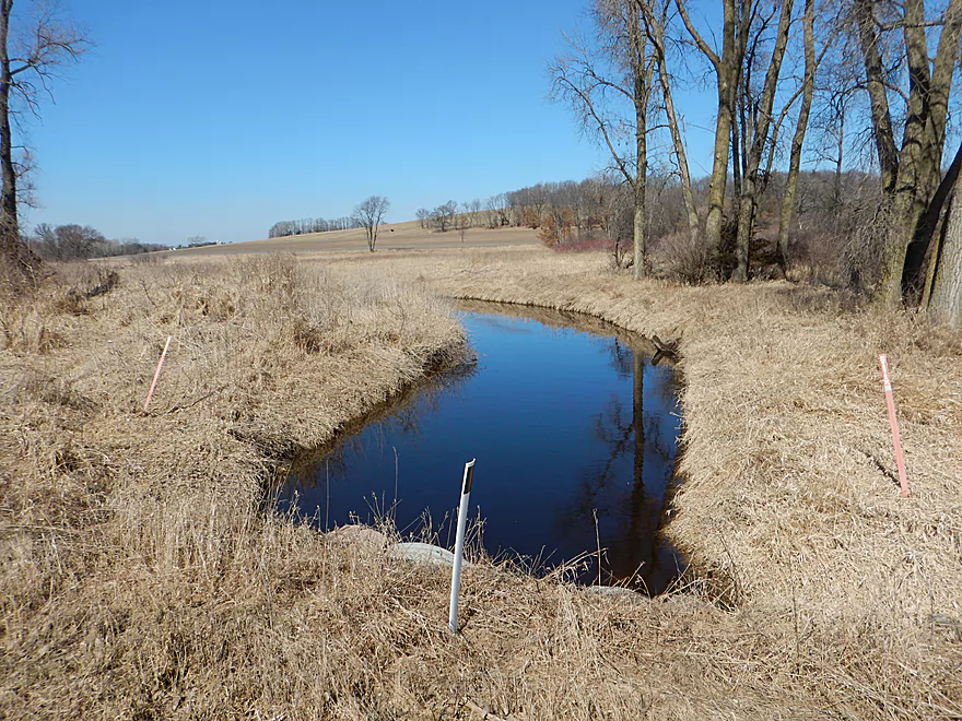
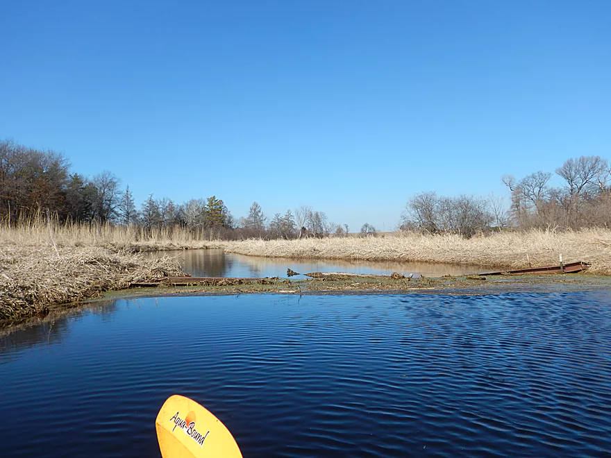
Good Earth Creek

The upper Fox River has a number of interesting tributaries that I have explored and will continue to do so. After French Creek and Neenah Creek empty into the Fox, the next major tributary is Good Earth Creek. This is an obscure prospect that few paddle, but after passing over it countless times I finally decided to take a chance on exploring it and I’m glad I did.
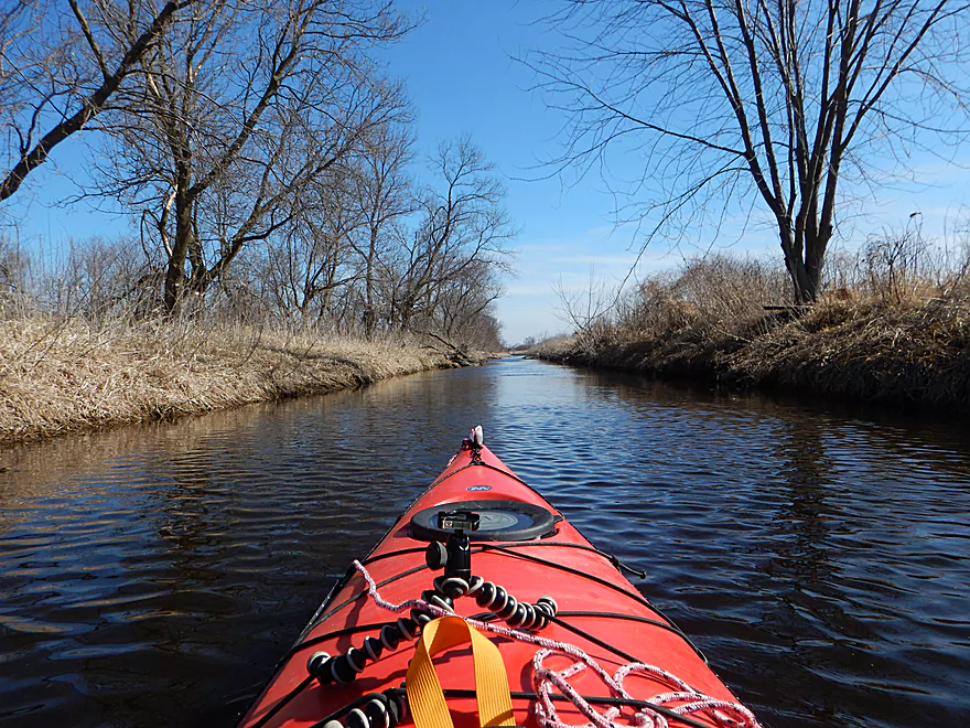
The put-in off Hwy CX is not very inviting being by a very busy road, I-39 and massive cellphone tower, but logistically this is a fine option. Soon this chaos fades away and you’re pleasantly paddling down what can best be described as an over-sized drainage ditch. Good Earth Creek IS a real creek, but much of the upper sections have been artificially deepened, widened and diked to drain the nearby land for farming. The effect of which is that it seems like you are paddling in a canal which to me actually had some appeal.
Now for the trip, the water levels were up but not immensely so. I’ve had my fair share of experiences going under low bridges, so when I came to a very low Hwy O, I wasn’t too worried. I perhaps should have been though. The tunnel was too narrow to maneuver in, so I had to pull my way through by pushing off the ridges off the top of the tunnel. The tricky thing is…this bridge sagged in the middle (significantly so). To get through, I was squashed down in my seat and bench pressing the kayak into the water in spurts to move forward. Going back was not an option. Mercifully after 50 feet, I was finally clear. In hindsight I should have just portaged Hwy O. Live and learn. There are three more bridges to go under, but all are short and none as difficult as Hwy O.
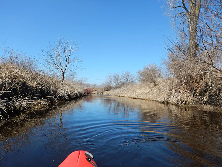
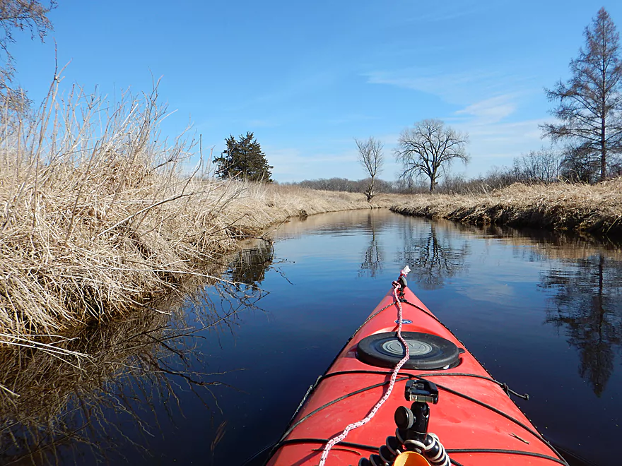
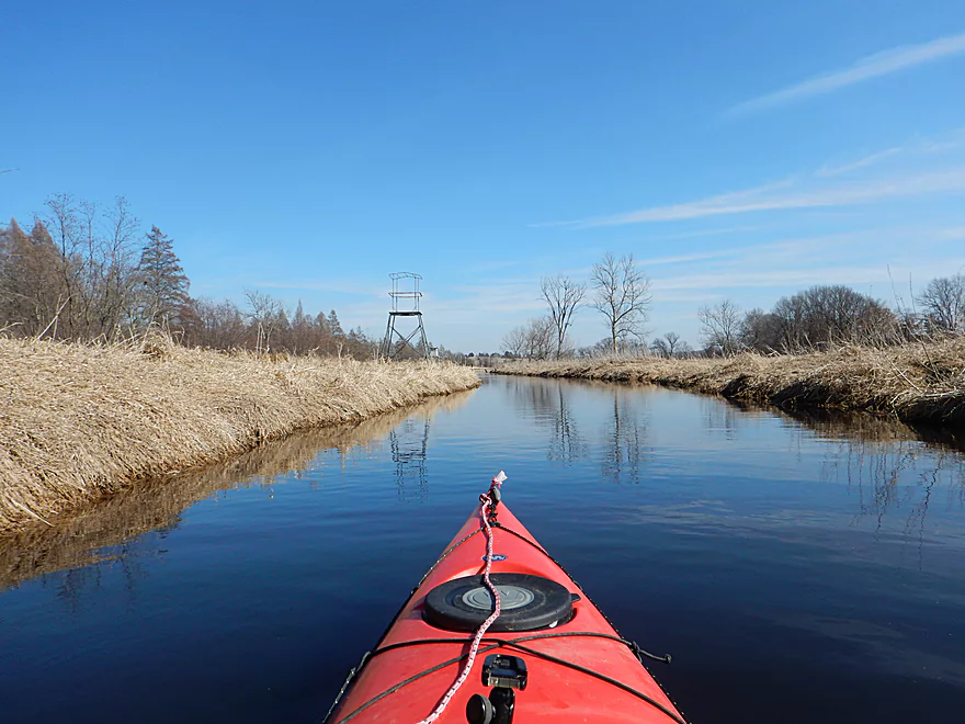
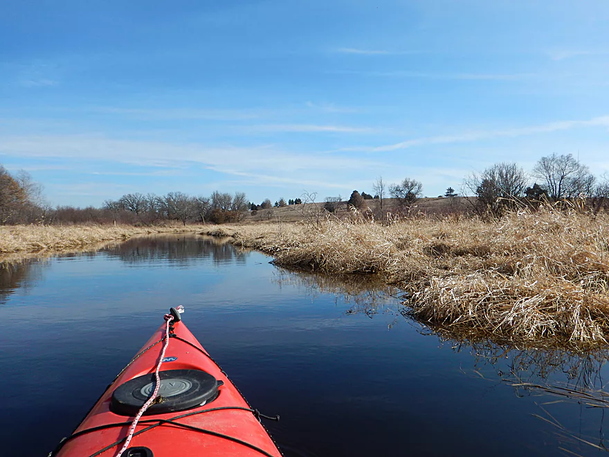
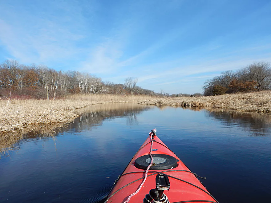
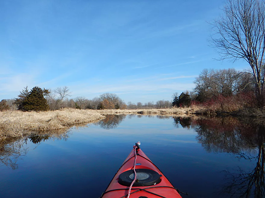
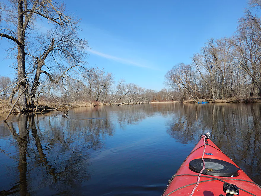
By Hwy T, the creek transforms from a “canal” imprisoned by embankments, to a natural creek with curves and open vistas of the surrounding countryside (mostly wetland). This was a very pleasant and peaceful section of the creek that I liked despite the lack of current. There aren’t many trees and the countryside is rather flat, but it was very beautiful seeing the bright blue sky mirrored on the still creek surface.
Good Earth Creek develops a bit of a delta at it nears the Fox River which was a bit of a surprise, so it is possible to get lost (which I did). If you see a farm on your left and the creek widens significantly with three new channels, go straight! You’re not on the Fox (yet).
To access a take-out, I did paddle one additional mile on the Fox River to get to the Hwy O ramp. This is not a special section of the Fox, but I do plan on revisiting it later for a more in-depth review. This particular section flows through the Moundville development which is a frankly depressing and overly developed trailer park on the river banks and is a bit of a visual blight. If you continue paddling past Hwy O and to the small town of Endeavor, the surrounding land is mostly protected by a national wildlife refuge and is much nicer (but that would be a long trip.)
Hwy CX is a busy road, but ok for an undeveloped access with plenty of space to park and a good area to launch your boat upstream of the bridge.
Good access at the Hwy O boat landing on the Fox River. Plenty of parking and no fees, but there is no outhouse.
I know of no local liveries. The bike shuttle is a pretty easy 3.8 miles on Hwy O. Just a few hills and some heavy rural traffic to contend with.
For the most part this is a simple and safe trip.
Some sections are a little exposed so do be mindful of wind direction and speed.
There were several down trees and a down fence, but these were small and I was always able to go over them by getting a “running start”. If need be, they would be very easy to portage because the banks aren’t too steep. For the record, I never portaged once on this trip.
The biggest concern is the Hwy O bridge because of how low it is, but you could simply portage this. More on this below.
I doubt this creek is ever too low nor too high too run. At the time, the Fox River for reference was high but not flooding. You might consider paddling this at lower levels so you can get under Hwy O (more on this later). As for current, it hardly exists.
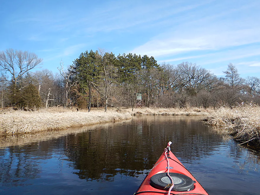
Some sandhill cranes, painted turtles, many ducks and evidence of beavers.
Good Earth Creek is certainly big enough to paddle upstream of Hwy CX, but the access issues are tricky. There is an unmarked road just west of the interstate that provides access to an upstream section, but I’m not sure this is public and the condition of the road is very poor.
The creek does fork and the west branch does pass under 5th road which may be an option. But this branch is very small and may be too congested to run.
If instead you want to lengthen this trip, an option would be to paddle further on the Fox River and take out at one of the landings in Endeavor. This is a nice section of the Fox that I’ve reviewed before.
Trip Map
Video
Photos Size: