
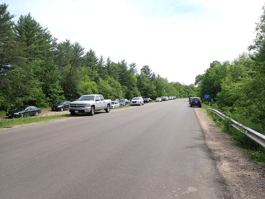
Busy access at Hwy D
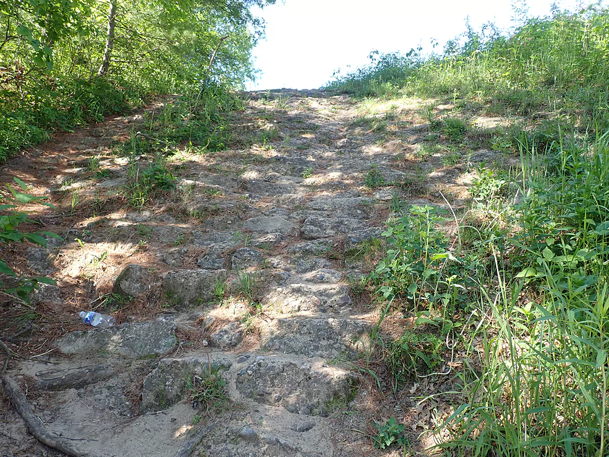
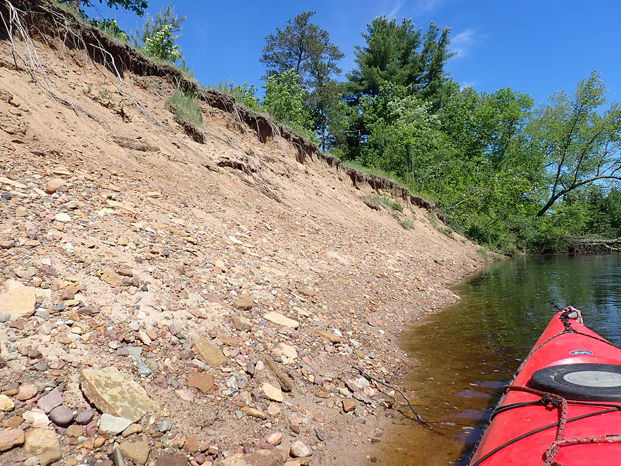
Surprising how popular this is given how steep the bank is
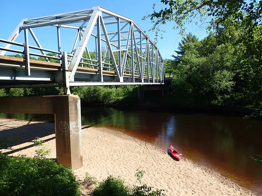
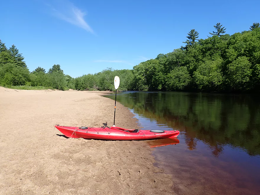
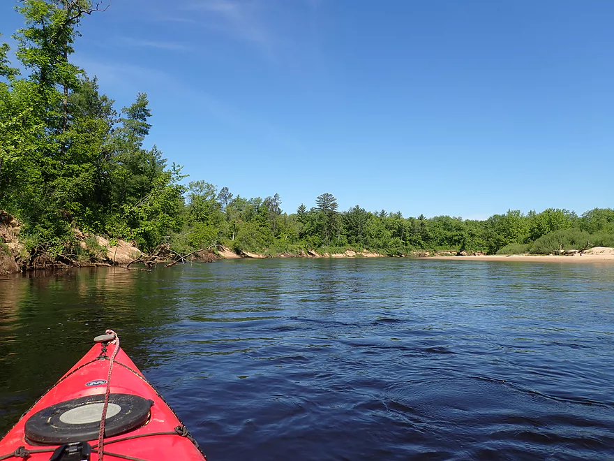
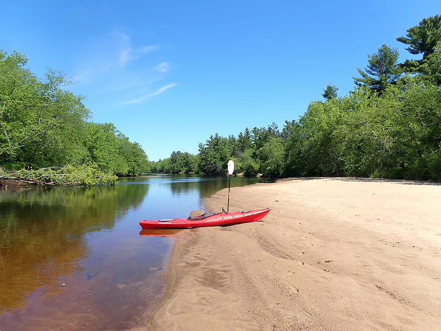
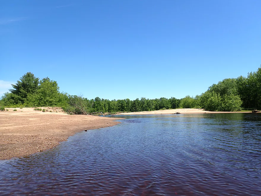
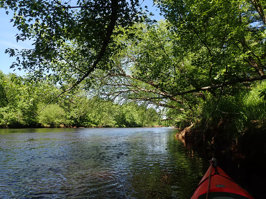
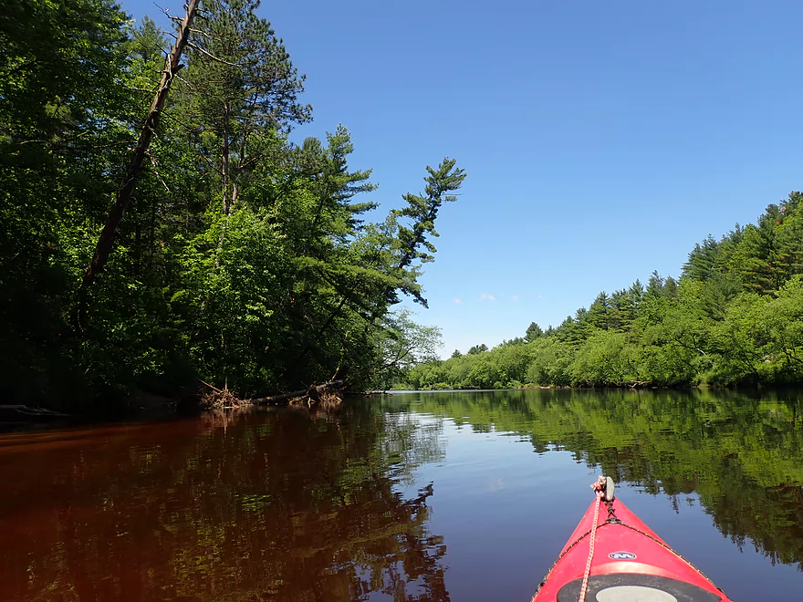
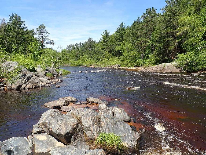
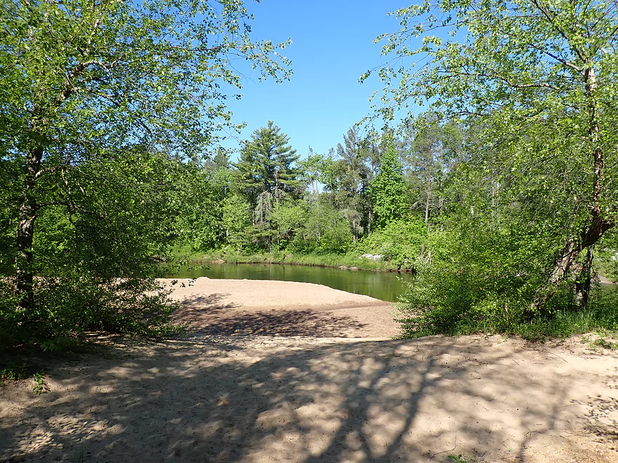
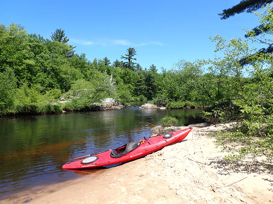
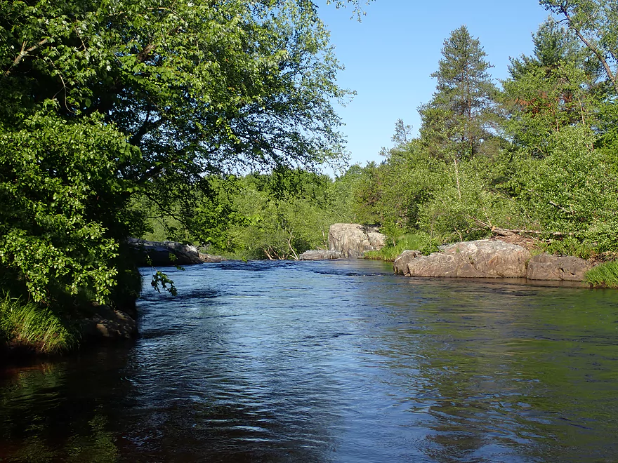
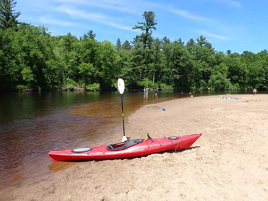
Scenic put-in
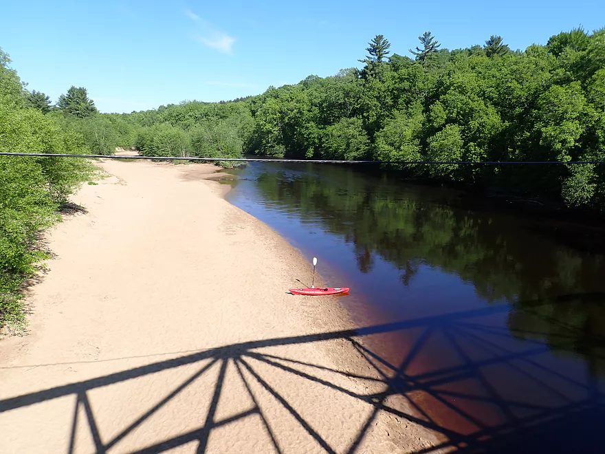
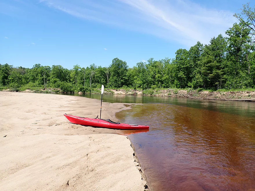
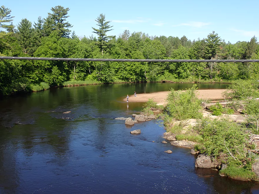
Nice sandbar located under the bridge
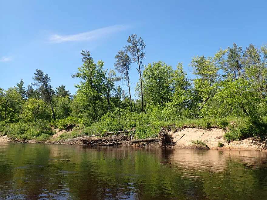
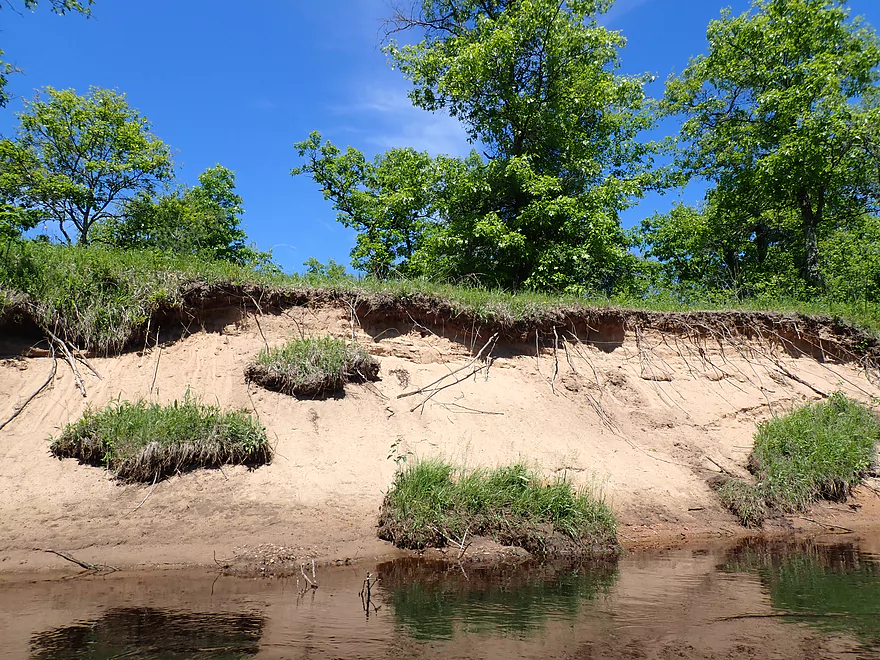
Much of the shoreline was beat-up and in poor shape
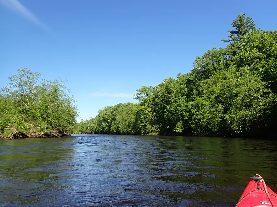
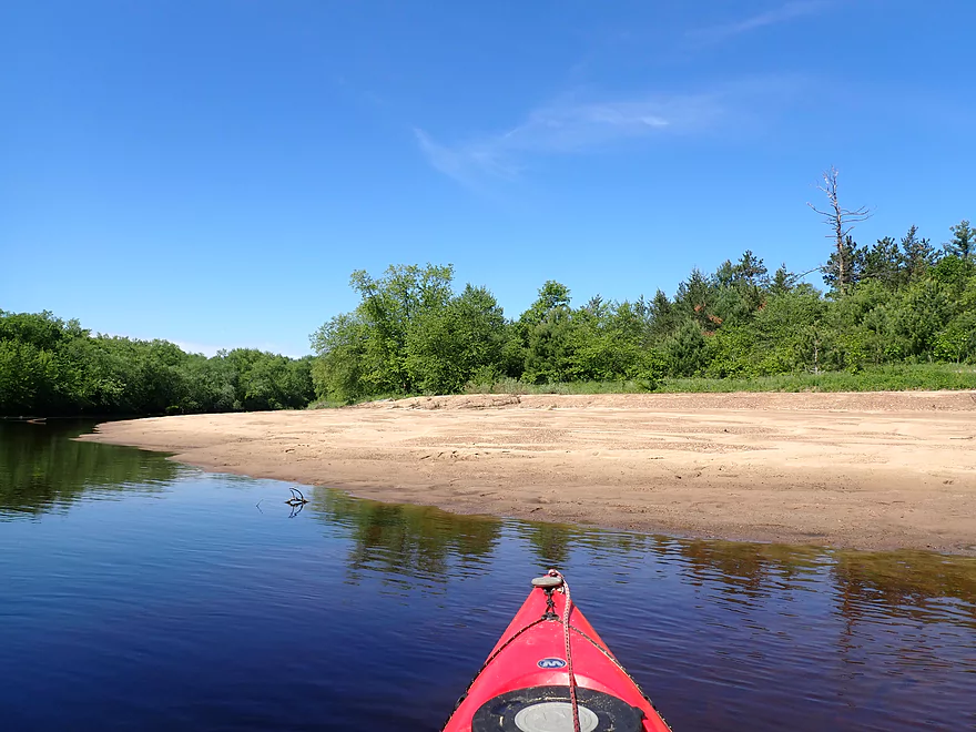
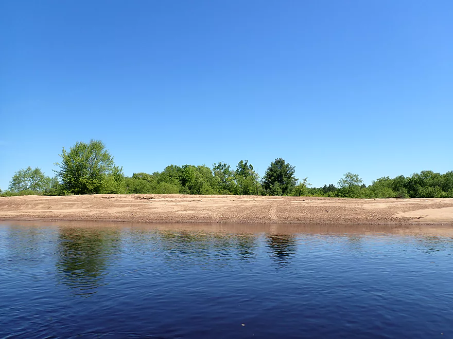
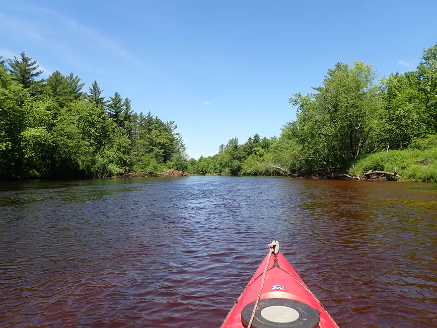
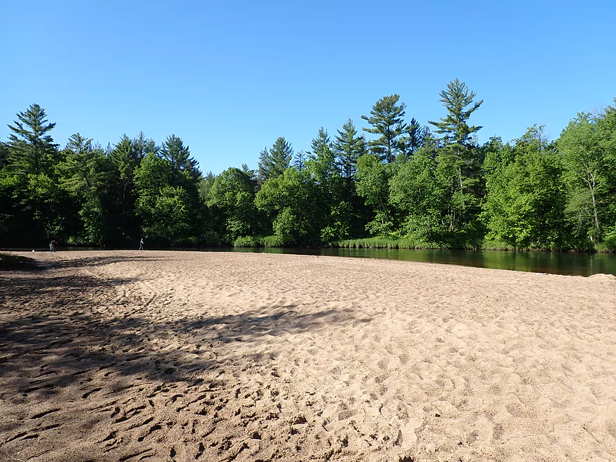
The first two miles had many nice sandbars
And some sandbanks
More nice sandbars
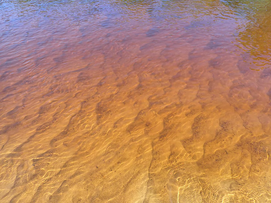
Good clarity in the shallows
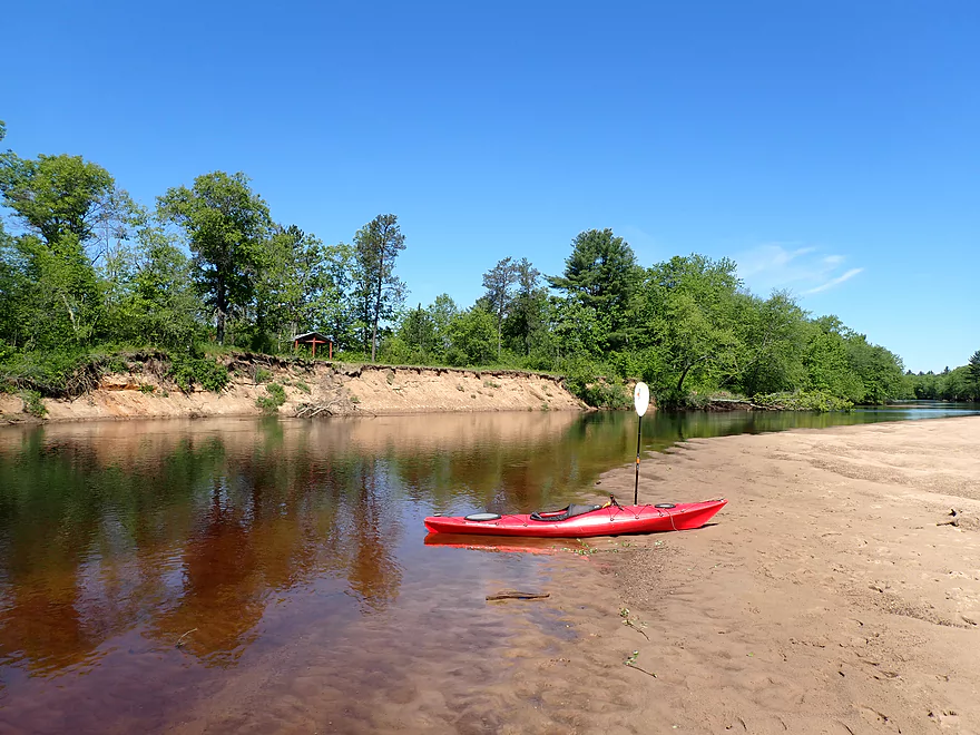
Taking a lunch break
Very sandy country
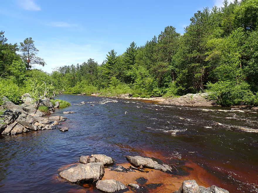
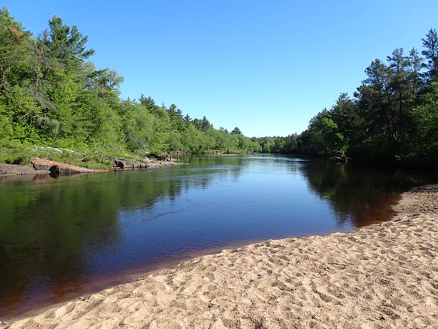
Nice scenery
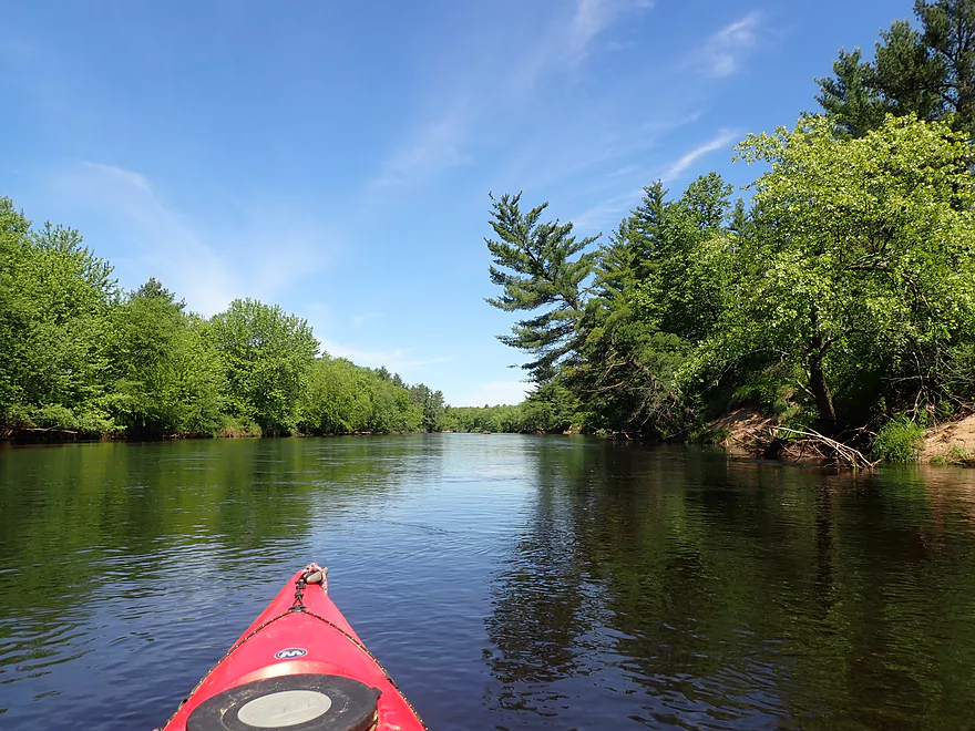
This scene represented 80% of the trip…mostly generic woods
Taking another break…this on one of the largest sandbars on the river
These would be top-notch camping prospects
Little islands of grass launching into the water
The bottom of a decent-sized island
After the island, the sandbars started disappearing
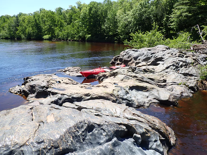
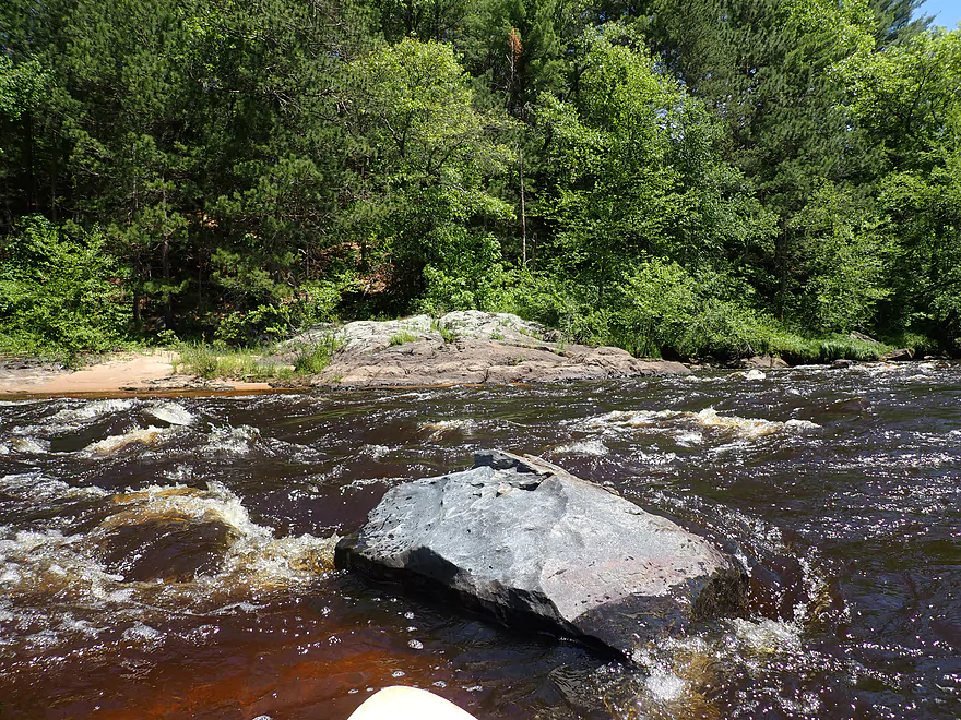
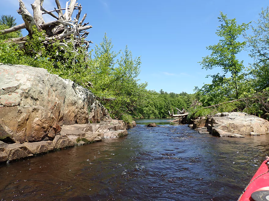
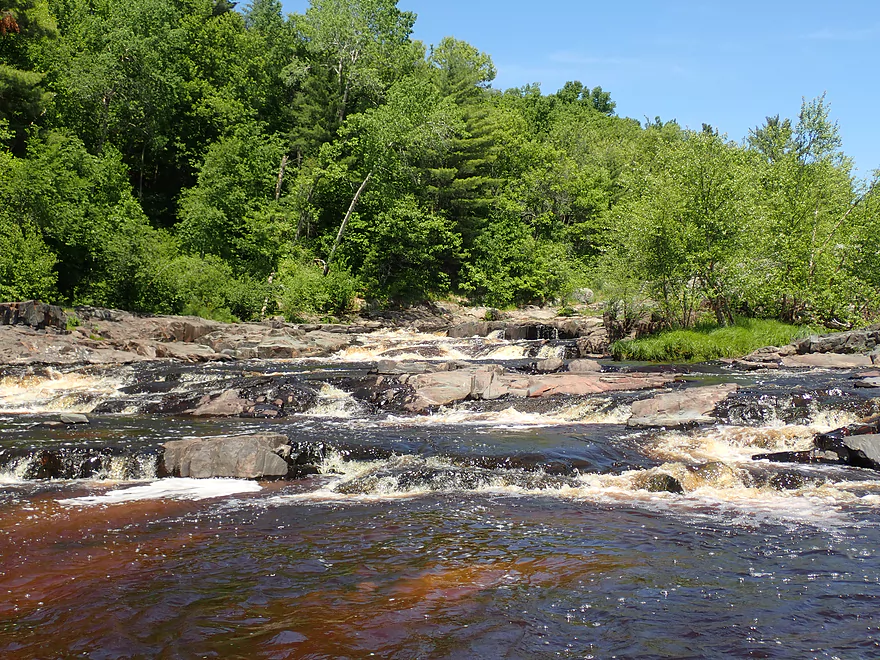
Rocky shoreline
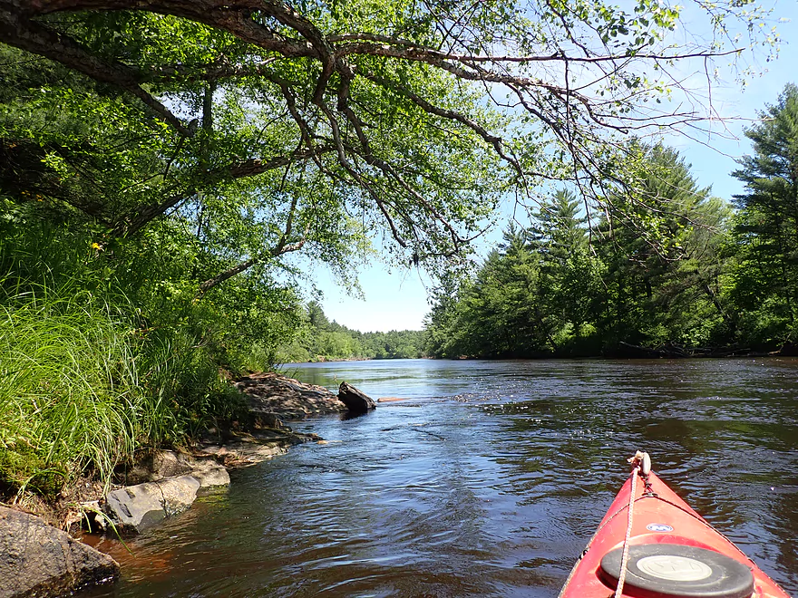
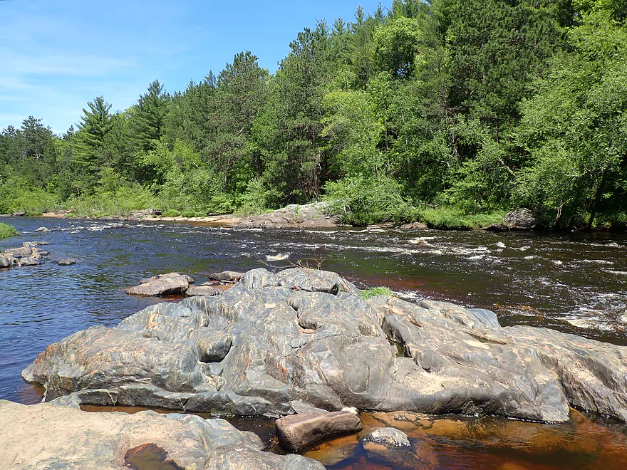
Nice segment with white pines
Pine reflections
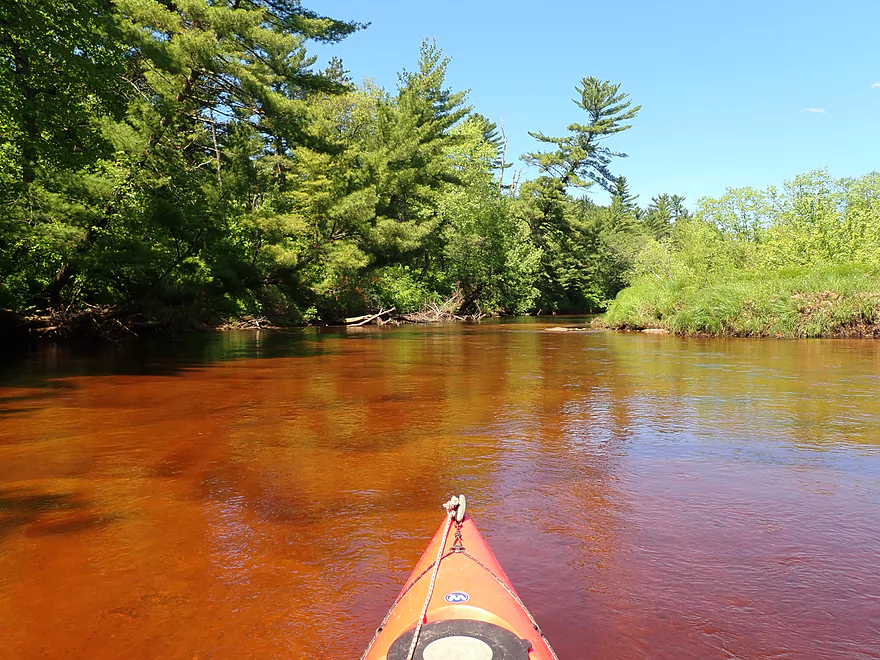
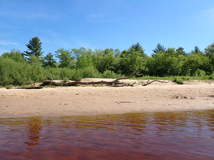
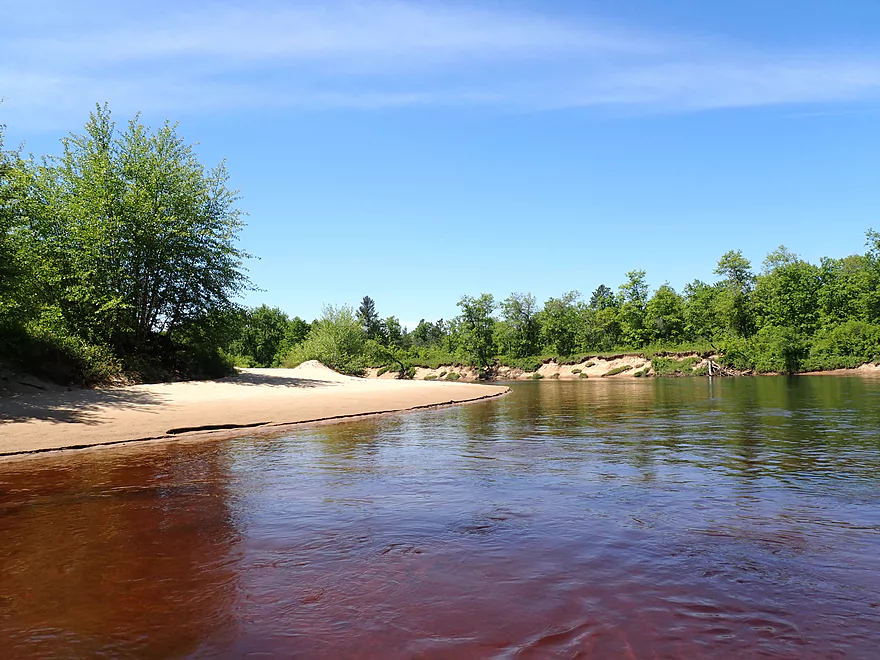
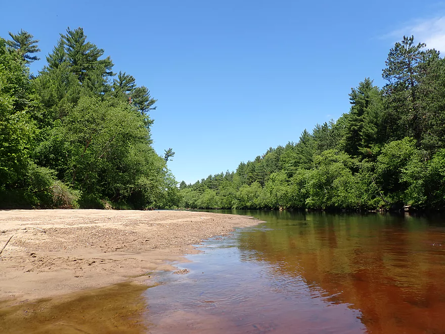
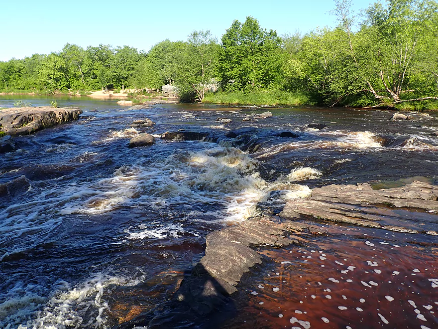
Channel here has as bright red hue
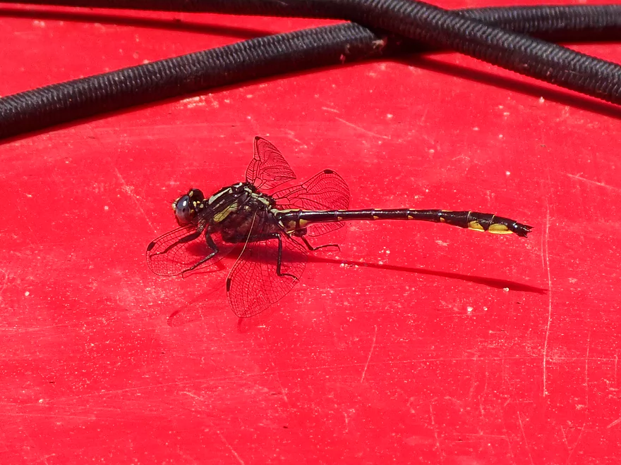
A friendly hitchhiker
Still some sandbars, but much smaller now
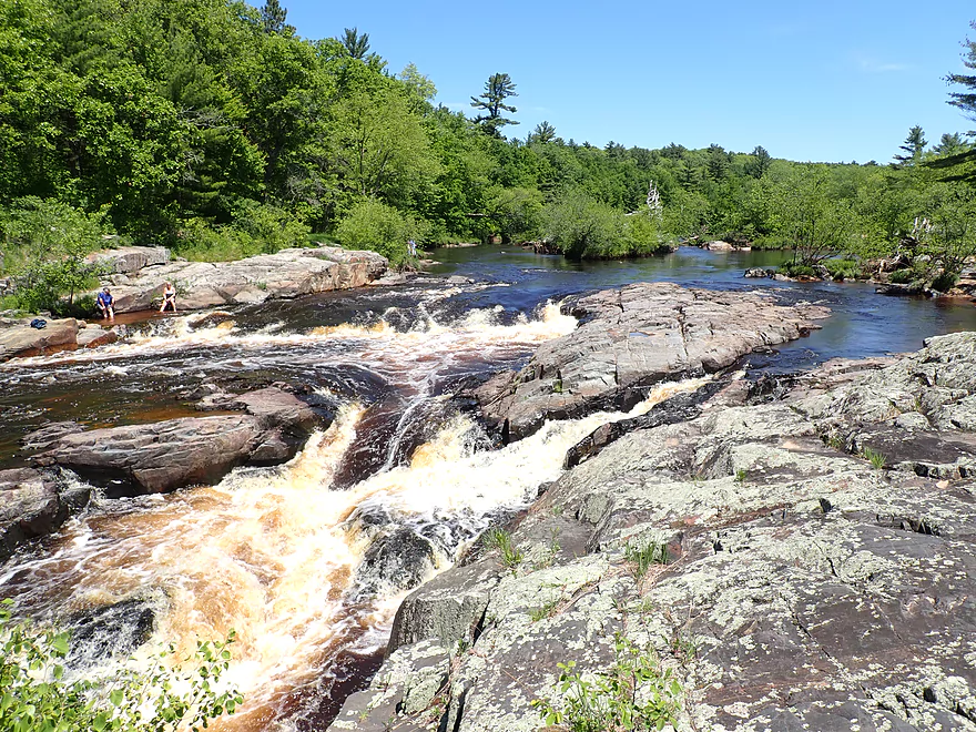
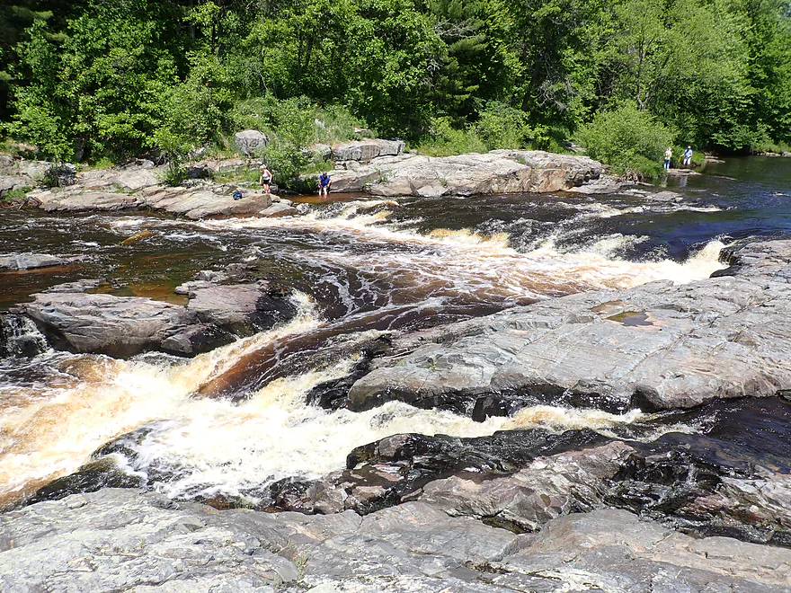
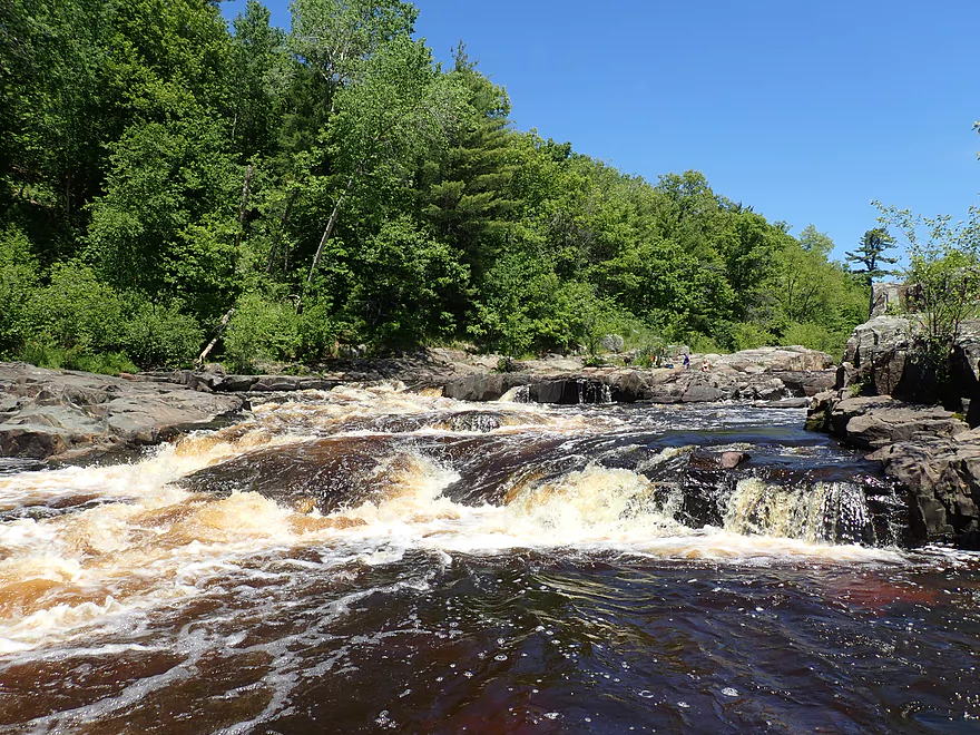
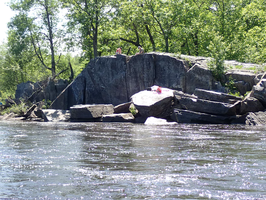
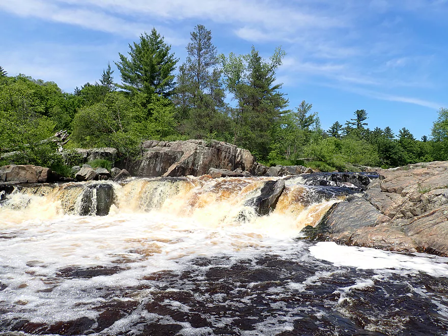
The start of Little Falls
Getting out to scout
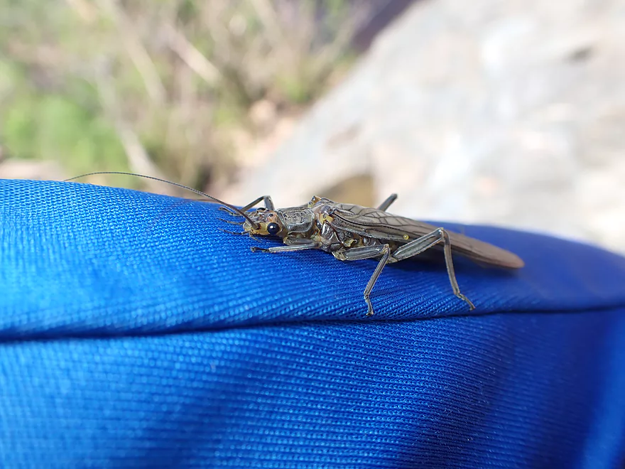
An adult stonefly…very friendly
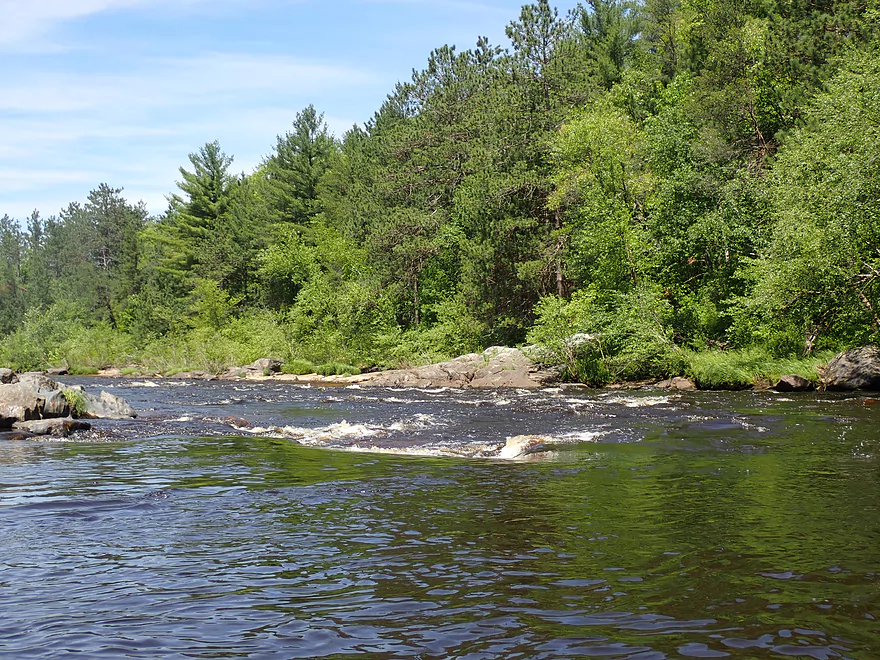
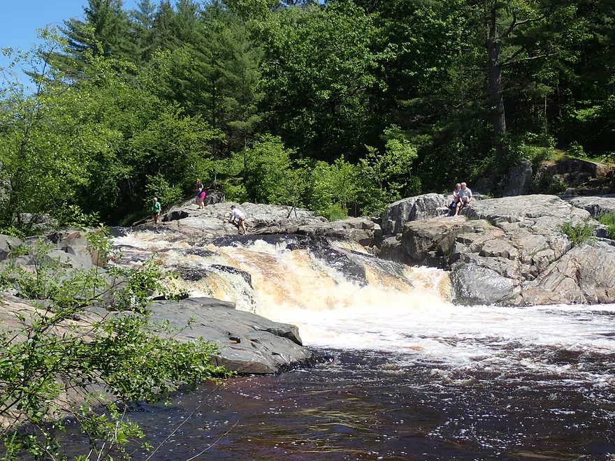
I would rate these rapids as Class 2
Great scene
Side view
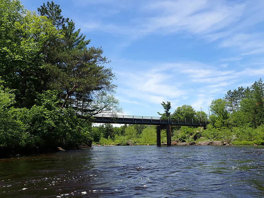
Hwy K
Downstream view from Hwy K
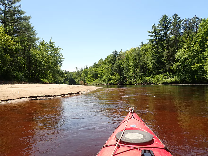
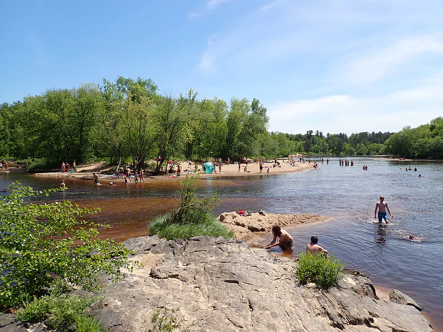
There is a popular sandbar here
A sandy path leads to a parking lot (good access option)
Instead I’ll continue on for another mile
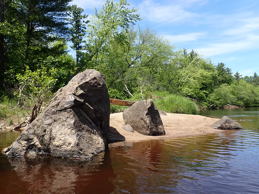
Granite monoliths rise from the sand
Exploring the top of Big Falls Island
Getting out on the island to explore
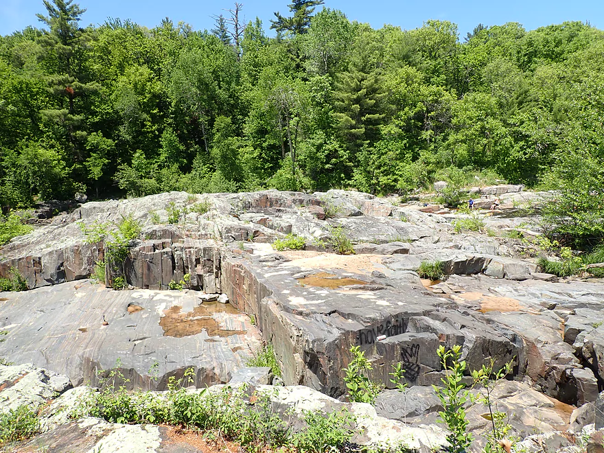
Huge granite mounds top the island
The start of the north channel (Big Falls)
I would rate these as Class 3+ rapids
I did not run these
This scene is on the front cover of “Indian Head Rivers of West Central Wisconsin”
The best view of the north channel is from atop this outcrop
Now, time to explore the south channel
It starts with some Class 2 rapids
But is quickly followed by some difficult rapids
I would rate these as Class 4
View from the island
Some more Class 2’s below the main ledge
A second island below Big Falls–very popular with locals
Taking out on a nice sandbar upstream of Big Falls
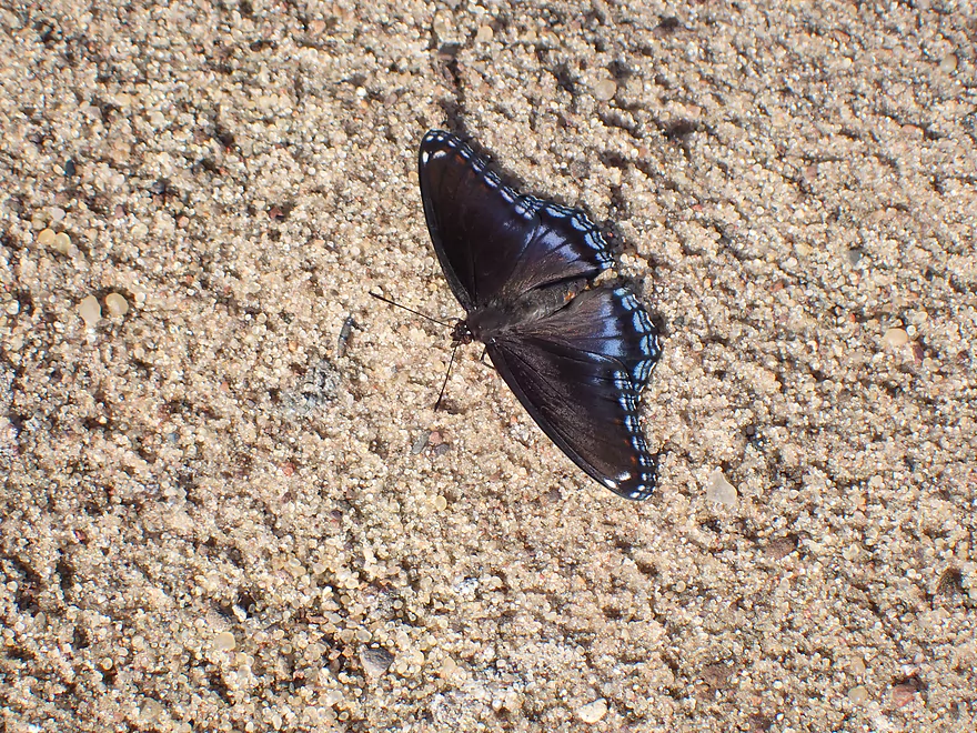
A Red-spotted Purple
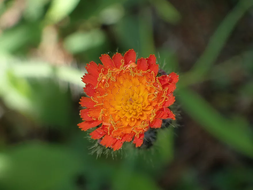
Orange hawkweed
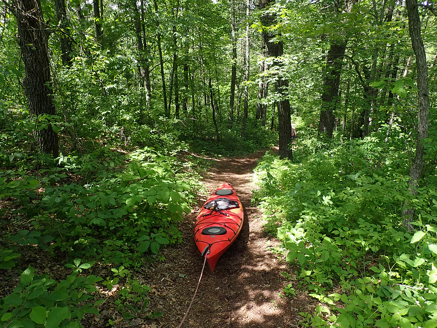
Not an ideal take-out…I had to hike 1000′ to reach the parking lot
Something funny I saw driving home (in Osseo)
Eau Claire River – Hwy D to Big Falls Park

First things first…there are three Eau Claire Rivers in Wisconsin. This trip was done on “Eau Claire – West”, located near the city of Eau Claire. It’s easy to confuse this river with “Eau Claire – Wausau” as both rivers flow west at roughly the same latitude and have prominent falls. But “Eau Claire – West” is a bit larger, sandier, and a smidge less scenic…but is still a cool paddling prospect.
Seven years ago I did a trip on “Eau Claire – West” at very low levels from Harstad Park to Hwy D. That was a great trip with some epic sandbanks. This time around I wanted to put in where I last took out and then end the trip at the famous Big Falls Park.
The first few miles were the sandiest part of the trip. No, there weren’t the impressive sandbanks that I encountered from my last trip, but there were many nice sandbars. IMO “Eau Claire – West” is actually one of the most underrated sandbar rivers in the state for camping. Even if you don’t camp, I recommend at least a lunch picnic on one to take in the experience. You can’t wait too long to find that perfect sandbar though…as most of the big sandbars will vanish after roughly the two mile mark (see satellite maps for best locations).
The scenery on this trip wasn’t top-notch like it was on my last trip. Much of the shoreline was beat-up and scraggly…I suspect major logging has occurred along both sides of the river. Closer to Hwy K there were some attractive stands of white pines though.
One of the trip highlights was Little Falls located just upstream of Hwy K. I was able to scout these rapids from the exposed granite on the western shore and estimate them to be Class 2. While they looked feisty it was a fairly straight forward run and a lot of fun.
Past Hwy K, there was a large sandy beach that is a popular hangout for locals. In hindsight this would have made a perfect take-out, but I was determined to see Big Falls, so continued the trip for another mile. Most of the scenery past Hwy K was just generic woodlands, and it was an uneventful stretch (aside from some bored and noisy tubers that I passed).
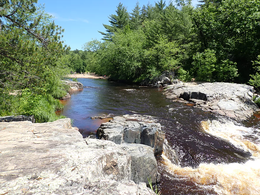
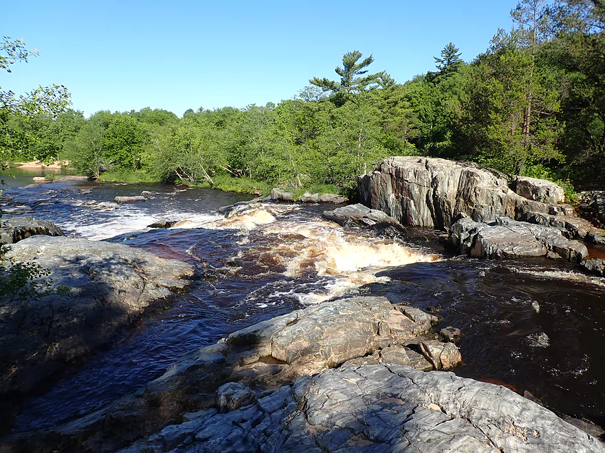
Finally I came to the trip highlight: Big Falls Park. Before I took out I wanted to explore the falls as best I could while not actually going down them. To this end, I found a secluded sandbar on Big Falls Island where I parked my boat and then explored by foot. This was an impressive island with large granite outcrops. The island splits the river into two main channels (North and South) with major rapids going down each side. The “North Channel” is considered easier as it contains more smaller ledges, but is still quite difficult. I would estimate it to be a Class 3+ run. On the other hand the South Channel descends mostly over one large ledge and is likely Class 4 (and quite dangerous). Exploring the falls from the island was actually a good idea. Despite there being many people on the north/south shores few had the courage to swim out to Big Falls Island which meant I mostly had it to myself.
Following my island safari, I paddled back upstream to a large beach on the south shore where I took out. Here there was a convenient network of trails that connect the falls, the parking lot, and portage exit/entrance points. Unfortunately the parking lot is not located near the water and I had to drag my boat over 1000′ to reach it…in hindsight I should have taken out at Hwy K and just scouted Big Falls by foot.
In summary this was a nice trip, but not an elite one because of the mostly generic shoreline that was often beatup and a bit unsightly. The highlights were the fast current, sandbars, Little Falls and Big Falls…which together made this a trip I can recommend.
Hwy D: This is a popular pull-off where kayakers mostly take out but some also put in. The shore is steep and you may want to use rope to ease your boat down to the water. The river by the bridge is quite scenic and locals like to lounge on the adjacent beach during summer weekends. The main parking lot often fills up and forces cars to park on the shoulder (where there isn’t that much room). If you arrive early you may want to actually park on the shoulder intentionally so somebody doesn’t accidentally box you into the parking lot (which is quite narrow).
Alternate Put-ins:
- Harstad Park (8.5 miles upstream): This is a great public access. Outhouses are available and it’s easy to launch on the adjacent beach. This park does require an entrance fee ($5 daily which can be paid at the self-pay station). From Harstad to D is a great stretch with some huge sand banks.
Big Falls County Park: So this wasn’t a great take-out. It was easy to take out on preceding beach (south shore) and a portage path does lead to the parking lot, but I had to drag my kayak 1000′ over a rough trail and up a steep hill to get to my car. Using this access also meant a difficult bike shuttle (see below) and there is the issue of the East Lot filling up (which happens often). When this occurs you’ll have to park on the shoulder…but at that point your car will be some distance from the water. While the park does have outhouses and is super scenic…it does require a $5 daily entrance fee.
Alternate Take-outs:
- Hwy K Beach Access (1.1 miles upstream of Big Falls): This is a much better take-out option. There is a public wayside and beach here which is a very convenient access. Note this beach can get to be quite crowed on summer weekends and the small wayside parking lot can fill up. During those times you may need to park on the shoulder (as many cars did during my trip). By taking out early at Hwy K, you do skip Big Falls…but that’s mostly too rough to paddle and can be best appreciated from the shoreline on foot.
- N. Shore Drive Shoulder (5.2 miles downstream): There is a small wayside located on N. Shore Drive across from Lions Youth Camp. This is a good access option. The stretch between Big Falls and N. Shore Drive doesn’t have any elite features but is pleasant with some nice sandbars.
Big Falls Park to County Road D: 6.0 miles (135′ of climbing). This was not an easy bike shuttle because the first mile by Big Falls Park is entirely on loose gravel. There is also a long steep hill to deal with once you get on 130th Ave. After that it is smooth sailing. I suggest bike shuttlers not use Big Falls as a take-out because of the gravel and crowds (an issue for leaving gear behind even if locked). Instead I suggest taking out at Hwy K which would bypass all the gravel.
Riverside Junction: At one point in time this business served as a livery on this stretch of the river. I’m not 100% sure they are still in business though, so I recommend calling to confirm their availability before committing to a trip.
The Eau Claire is a fantastic river for camping because of its many nice sandbars. You can see where the best sandbars are by studying satellite maps. Note, camping is somewhat restricted along the river. If both sides of the river are privately owned, I believe you are not allowed to camp. If one or both sides are owned by the county, you are permitted to camp but must have purchased a permit. The good news is the “County Forest Camping Permit” only costs $10. Also most land along the Eau Claire River (say 95%) is already owned by the county. If your not sure whether the adjacent land is public or not, please refer to the state access map (sections in tan are public county forest).
- Logjams: None
- Strainers: Some minor ones along the shore…if you’re paying attention avoiding them will be super easy.
- Rapids:
- Little Falls (Class 2): Located just upstream of Hwy K. These are fun rapids that can be scouted from the adjacent granite boulders.
- Big Falls – North Channel (Class 3+): The safer of the two channels that wrap around a large island. This consists of five ledges and is extremely dangerous. This is easy to scout from the island. This channel can be brutal in high water. Most paddlers will want to take out or portage by the beach east of the island.
- Big Falls – South Channel (Class 4): Here the river drops over a series of ledges totaling 15′. Most of the descent is over one impressive ledge which looks very dangerous. Kayaking this is not recommended unless you are very skilled. Here’s a video of a run at 310 CFS (Neillsville guage). Most will take out upstream of the falls or portage around them (south shore).
Nearest Gauge: Black River @ Neillsville (260 CFS) – Note, these are just rough estimates.
- 0-100 CFS: You may have to wade past a few shallow sandy sections, but otherwise a good depth with good clarity.
- 101-200 CFS: An average flow rate and good target range.
- 201-300 CFS: Slightly above average flow rate. I did the trip at 260 CFS and clarity wasn’t as good as it normally is, but the trip was fun and Little Falls was well padded.
- 301-400 CFS: Above average flow. Likely a viable range but lacking in good clarity.
- 401-1,000 CFS: A high depth. Little Falls may be pushy at this point.
- 1,001-2,000 CFS: A very high depth, but likely navigable.
- 2,000+ CFS: Perhaps too high…I’m not sure.
Detailed Overview
North Fork:
- Upstream of Township Memorial Park: I'm not sure if the far upper reaches of the river are navigable.
- Township Memorial Park to Hamilton Falls: 2.9 miles. I think this leg would be sandy with 3-4 major logjams, and maybe one set of Class I rapids.
- Hamilton Falls to Viking Pipeline Access: 1.0 miles. A scenic mostly flat-water stretch with maybe one set of rapids. This part of the river has steeper terrain and more hills than the lower North Fork. Note, if you don't want to run Hamilton Falls (Class 3), you can portage them or launch just from the downstream side.
- Viking Pipeline Access to Beeman Creek Access: 3.5 miles. A nice remote prospect with nice woods, a few rapids and perhaps some rock formations.
- Beeman Creek Access to North/South Fork Confluence: 3.0 miles.
- Beeman Creek Access to Channey Road: 0.4 miles. A terrific stretch with scenic pines, several nice outcrops, boulder gardens and Class I and II rapids. This part of the river can get very shallow in summer.
- Channey Road to North/South Fork Confluence: 2.6 miles. Attractive wooded stretch with mostly lazy current, sandbars, and gravel bars. There are a handful of rapids, with the best and most scenic being closer to Channey Road.
South Fork:
- Upstream of Koehler Ford Lane:
- Dickerson Ave to Koehler Ford Lane (Main Branch): 7.3 miles. Very sandy stretch and likely has a handful of logjams. Probably nothing special about it.
- Rock Dam County Park to Koehler Ford Lane: 4.5 miles. Half this trip is on Hay Creek, which has some neat dells. Launch below the dam. Maybe some logjams but should be easy to portage on adjacent sandbars.
- Koehler Ford Lane to Hwy H: 5.1 miles. A pleasant stretch.
- Hwy H to North/South Confluence: 3.1 miles. A sandy segment I don’t know much about. Likely nice.
Main Channel:
- North/South Fork Confluence to Eisberner Memorial Park: 0.8 miles. Generic leg–not super interesting, but there are a few large sandbars and some minor rapids at the Eisberner access.
- Eisberner Memorial Park to Hwy G: 5.1 miles. Good prospect with nice sandbars, a large exposed sand bank, and maybe 5-6 Class I/II rapids.
- Hwy G to Lake Eau Claire Dam/Lake Eau Claire Park: 6.1 miles. Probably uninteresting flowage paddling. Alt access on the north shore by the county park. Note, the portage past the dam to Hwy 27 would be very difficult.
- Lake Eau Claire Park to Hwy 27: 0.3 miles. A scenic section with rapids and rock formations.
- Hwy 27 Landing to Harstad County Park: 1.7 miles. Launch on a newish landing under Hwy 27. Neat granite outcrops in the area.
- Harstad Park to Hwy D: 8.5 miles. Great section with epic sandbanks.
- Hwy D to Big Falls Park: 6.7 miles
- Hwy D to Hwy K Landing: 5.5 miles. Good section with a number of sandbars and one set of fun Class II rapids.
- Hwy K to Big Falls Park: 1.2 miles. A short stretch with one nice beach by Hwy K. Big Falls Park is very scenic but has some serious whitewater and falls.
- Big Falls Park to QQ Boat Ramp: 6.6 miles.
- Big Falls Park to North Shore Drive Wayside: 5.2 miles. A very sandy stretch with many sandbars and several significant sandbanks. It's an attractive and pleasant paddle, but lacking in the rapids and elite scenery of other sections on the Eau Claire.
- North Shore Drive Wayside to QQ Boat Ramp: 0.9 miles. A generic leg that isn't that interesting. Current really starts to slow down.
- QQ Boat Ramp to Altoona Lake Dam: 4.5 miles. Half of this flows through a broad, sandy channel and half through a flowage lake. There is an alternate take-out at Lake Altoona Park.
- Altoona Lake Dam to Mouth: 3.3 miles. A neat section through downtown Eau Claire with some Class II rapids.
- Eau Claire Mouth to Hobbs Landing: 1.9 miles. A short paddle on the Chippewa through the University of Eau Claire campus before reaching your take-out.
Coon Fork Creek:
This is a wild card prospect referred to me by canoe author Mike Svob and EC Adventures. The main route starts at Coon Fork County Park (by the dam). I checked it out and it actually looked really cool. The area is very rocky and it appears the creek flows partly through rocky dells and canyons before emptying into the Eau Claire (at which point you could take out at G). While shallow looking (when I scouted it), I thought it might be runnable as is (can’t be certain though). Reminds me of perhaps Robinson Creek or Spring Brook in the Dells. RiverDarter.com has a nice video of the creek here.
Bridge Creek:
This is a really cool tributary to the Eau Claire with rocky dells and striking sandbanks. Reviewed here.
Trip Map
Overview Map
Video
Photos Size: