
Badfish Creek
This is a Madison area favorite with swift fun current. Despite being a major outlet for wastewater, the water clarity is really good.
Trip Reports
Hwy A to Old Stage Road
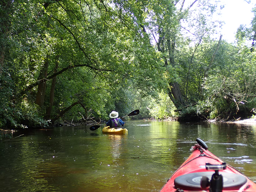
Date Paddled: July 27th, 2019
Distance: 4.2 miles
Time: 3 hours 1 minute (2 hours would be more typical)
While the lower Badfish gets a lot of kayak traffic, few care to paddle the upper Badfish. Are they avoiding it for a reason? Time to find out...
Read More...Old Stage Road to N. Casey Road
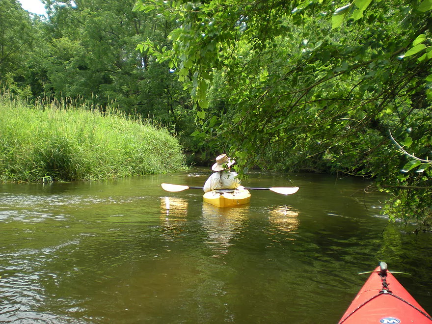
Date Paddled: June 23rd, 2012
Distance: 7 Miles
Time: 3 hours 45 Minutes
This ‘creek’ is probably one of the best kayaking prospects in southern Wisconsin. Quite large, the Badfish Creek should perhaps instead be referred to more accurately as Yahara West. This was kayaked during the height of the 2012 drought, and we had little problems with navigation. The key thing to know, of course, about this […]
Read More...North Riley Road to Hwy 59
Date Paddled: June 28th, 2025
Distance: 4.6 miles
Time: Expect 1-2 hours
This is the final stretch of Badfish Creek and includes a little bonus segment on the Yahara River. It's a great paddle and should be on the todo list for all South Central Wisconsin paddlers.
Read More...Overview Map
Detailed Overview
- Hwy B to Rutland Dunn Town Line Road: 2.5 miles. A challenging section because of the steep put-in, low clearance bridge and logjams.
- Rutland Dunn Town Line Road to Sunrise Road: 2.5 miles. A good prospect with one dam to portage.
- Sunrise Road to Hwy 138: 1.4 miles. A good prospect with maybe a few jams, although Hwy 138 might not be a good access point.
- Hwy 138 to Hwy A: 2.8 miles. A good prospect, but again Hwy 138 is very busy.
- Hwy A to Old Stage Road: 4.2 miles.
- Hwy A to Old Stone Road Landing: 1.6 miles. A mediocre section...good clarity and current, but uninteresting scenery and poor bank quality. One logjam just above the put-in.
- Old Stone Road Landing to Old Stage Road: 2.6 miles. Starts open and channelized...not as interesting. The last half through dense woods in the Badfish Creek State Wildlife Area is terrific though.
- Old Stage Road to North Casey Road: 5.0 miles.
- Old Stage Road to Hwy 138: 1.9 miles. The best section on the entire creek.
- Hwy 138 to Riley Road: 3.1 miles. Probably the second best leg on Badfish Creek.
- Riley Road to Yahara River/Hwy 59: 5.0 miles.
- Riley Road to North Casey Road: 2.0 miles. A more open stretch but still very nice with great current and clear water.
- North Casey Road to Hwy 59: 3.1 miles. The final stretch on Badfish Creek. Starts open but then flows through a more wooded stretch. Not as scenic as previous legs, but still very nice.
