
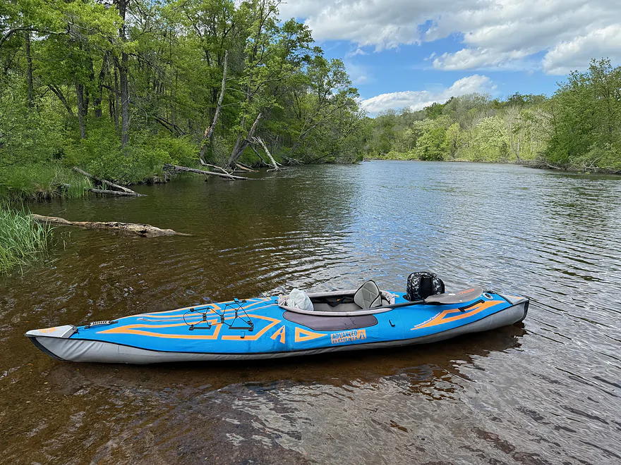
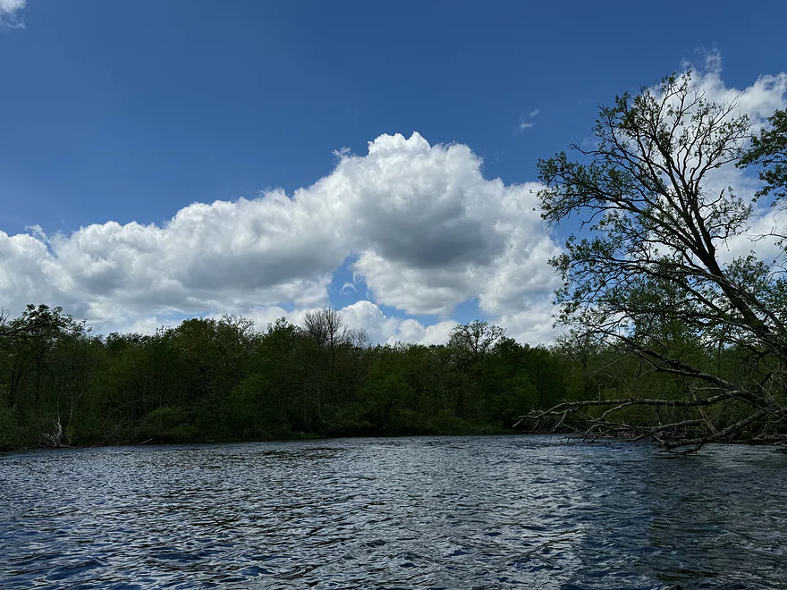
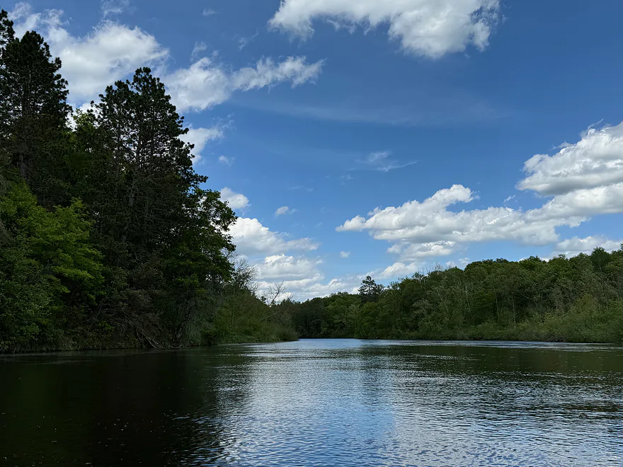
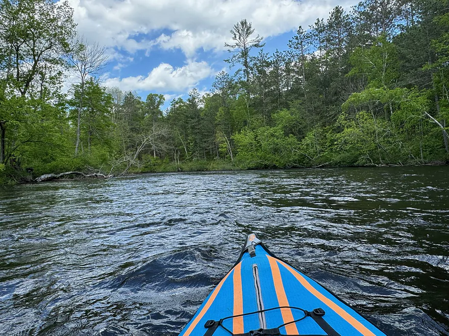
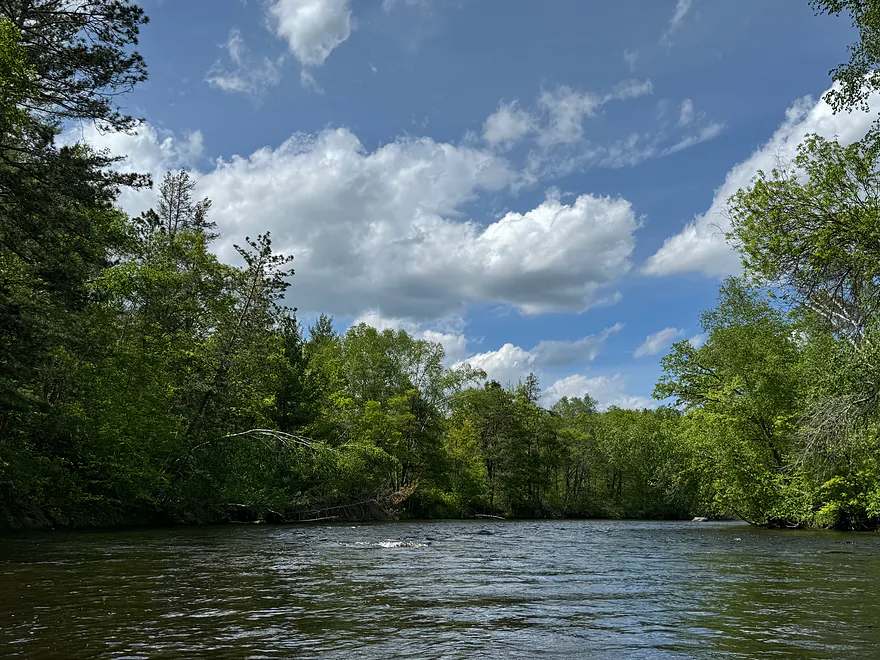
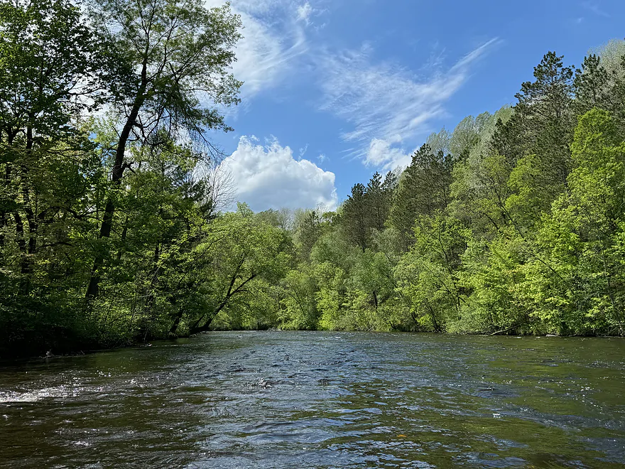
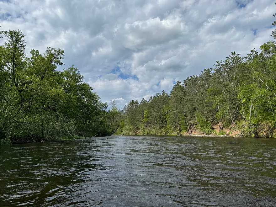
Put in at County K

Namekagon River – County K to Whispering Pines

Author:
Peter Johnson
Date:
May 25th, 2024
Put-in:
County K Landing
Take-out:
Whispering Pines Landing
Distance:
11.0 miles
Time:
3 hours
Water Level:
Namekagon River @ Leonards 155 CFS or 1.99'
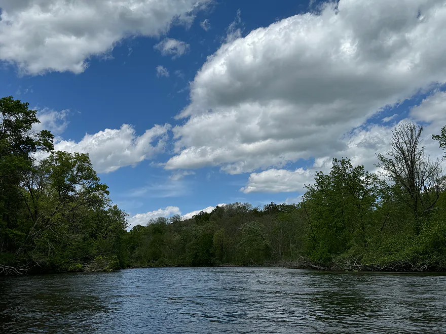
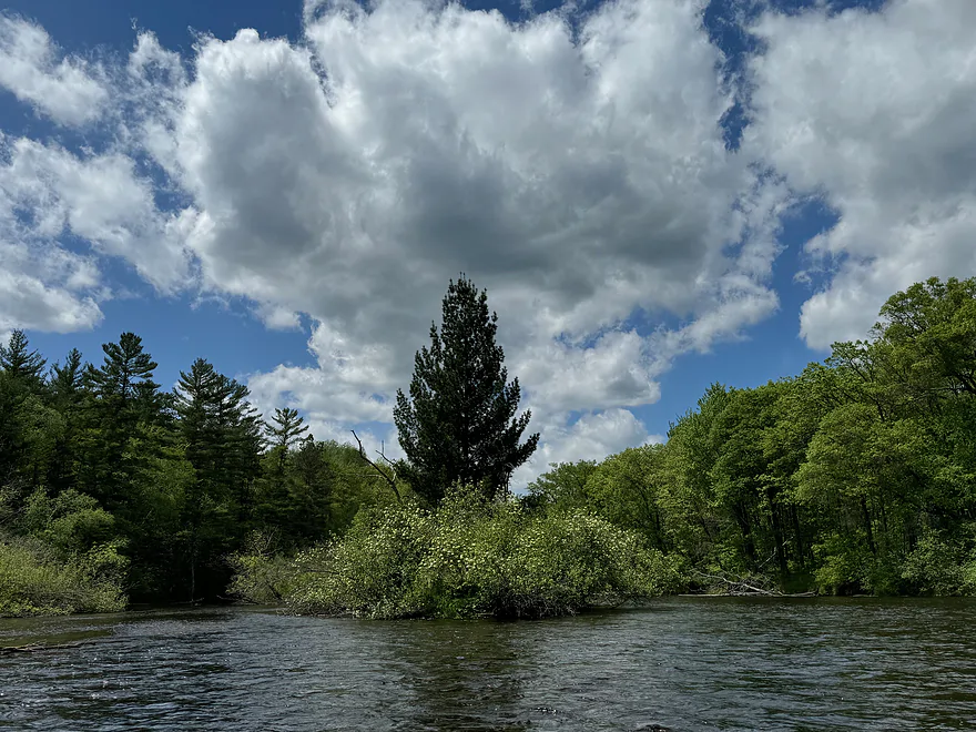
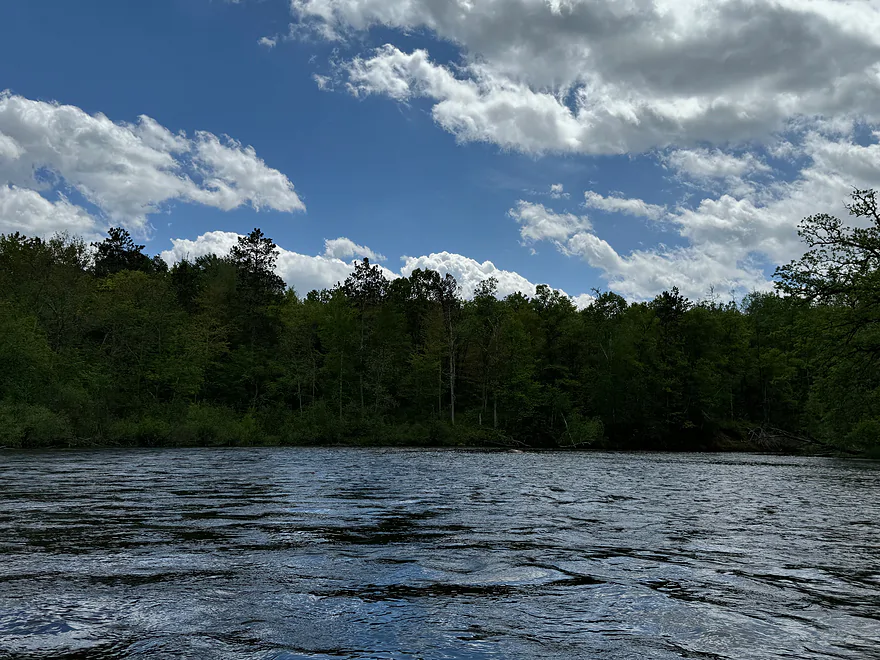
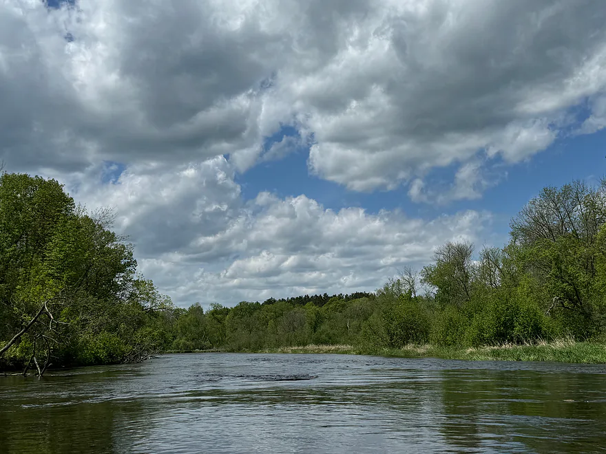
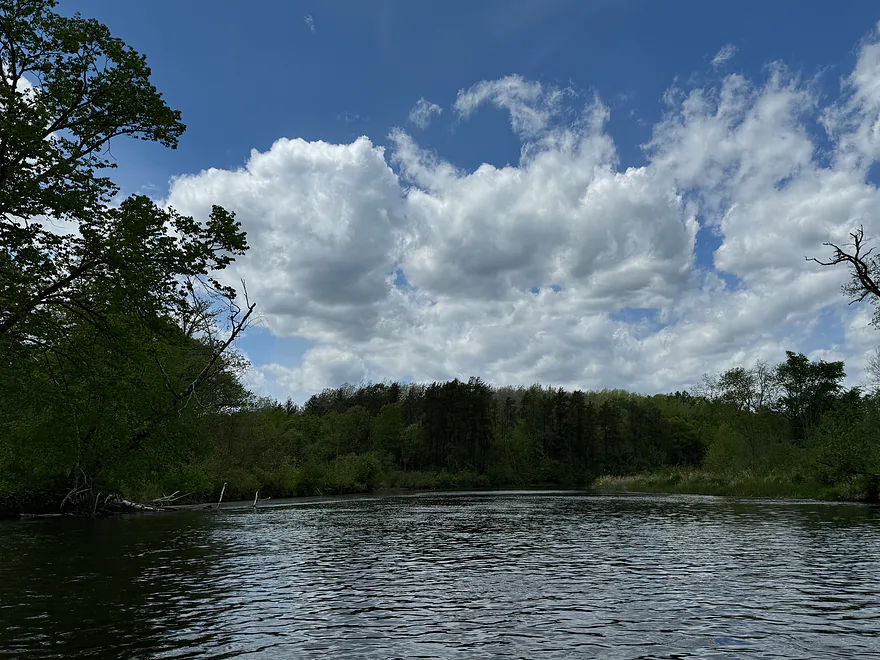
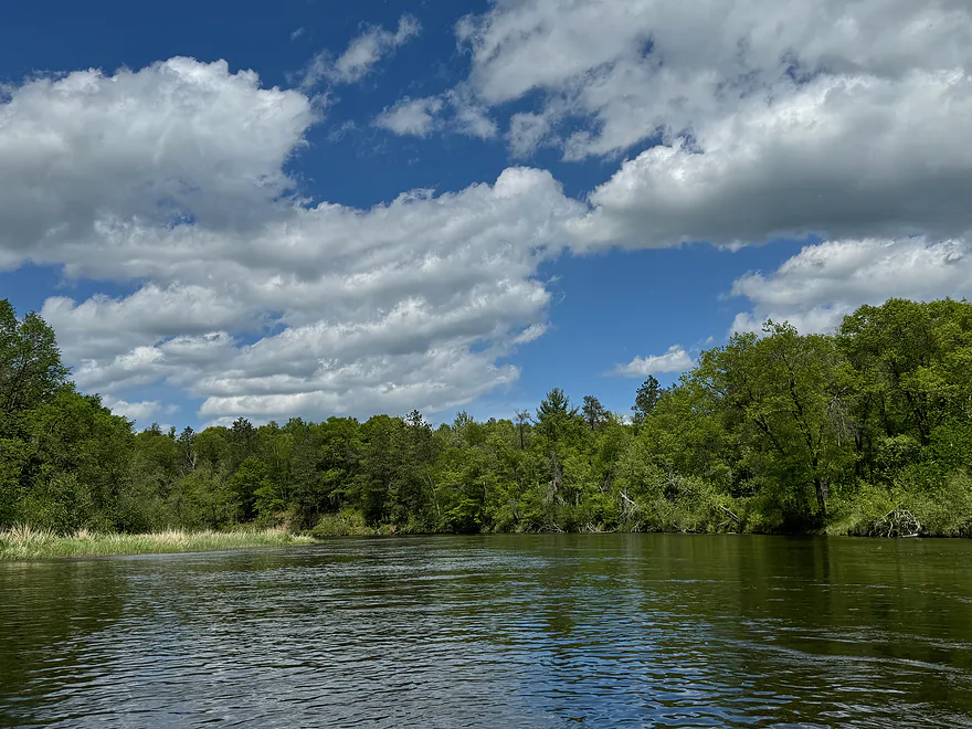
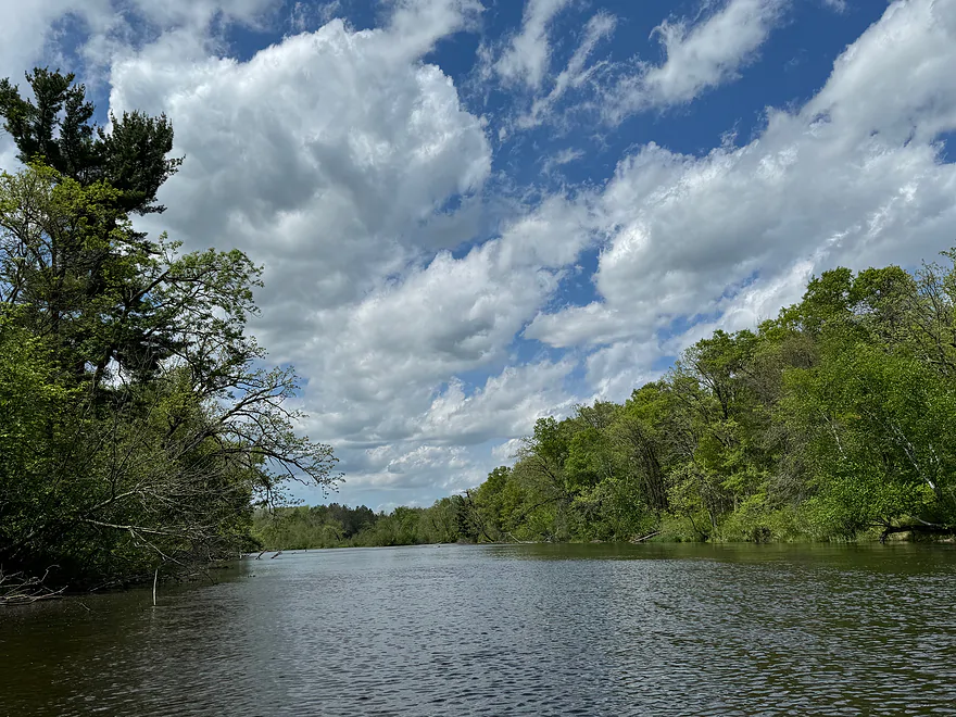
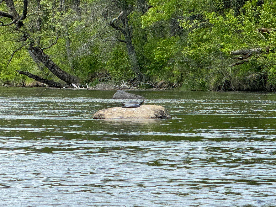
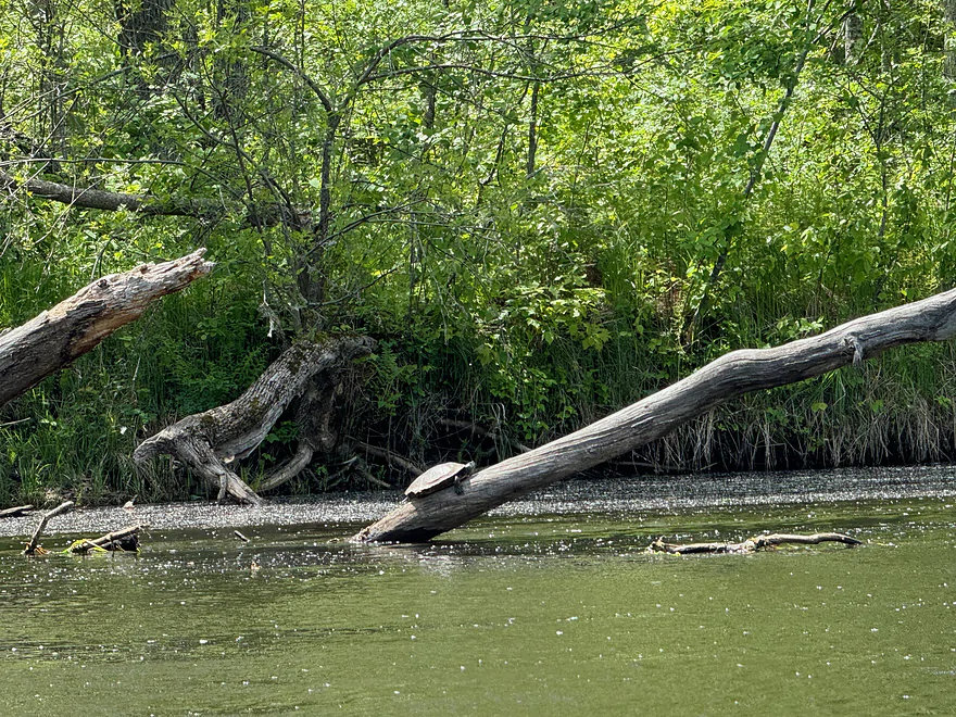
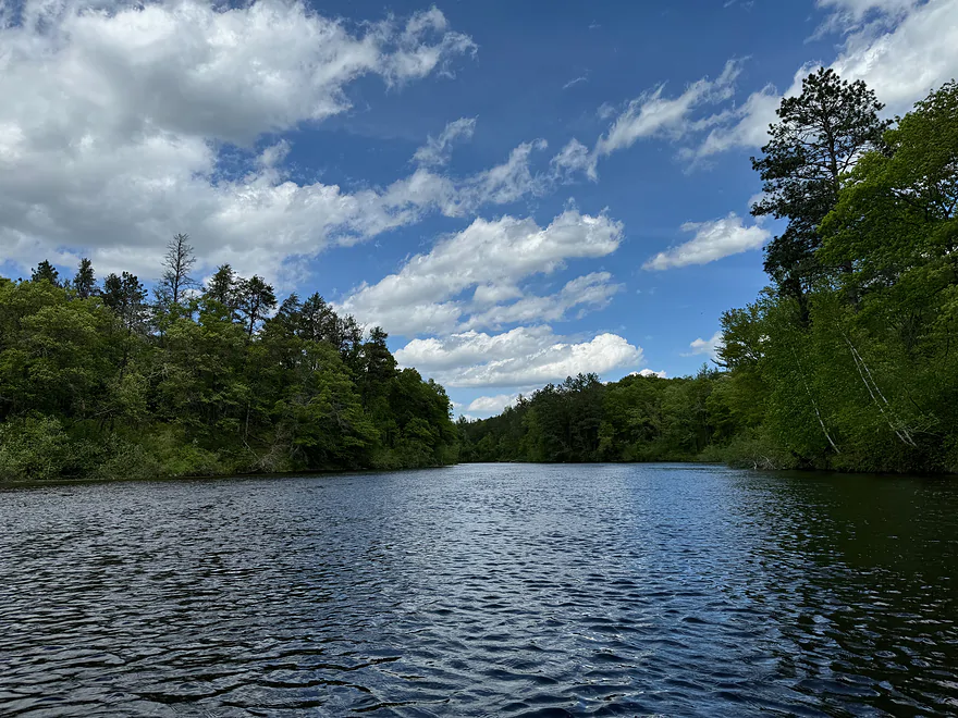
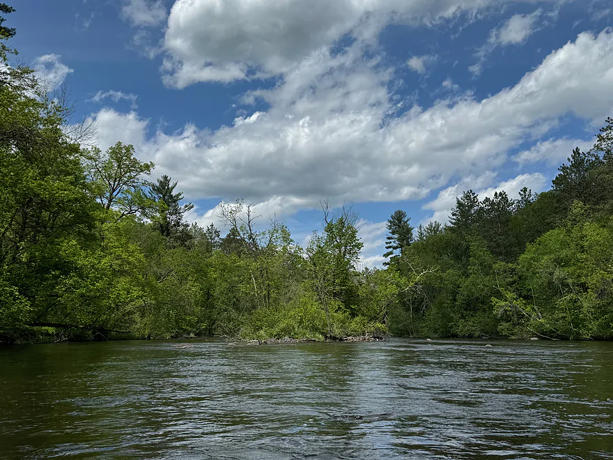
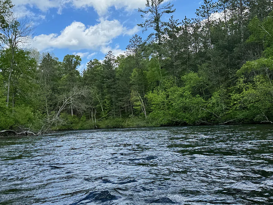
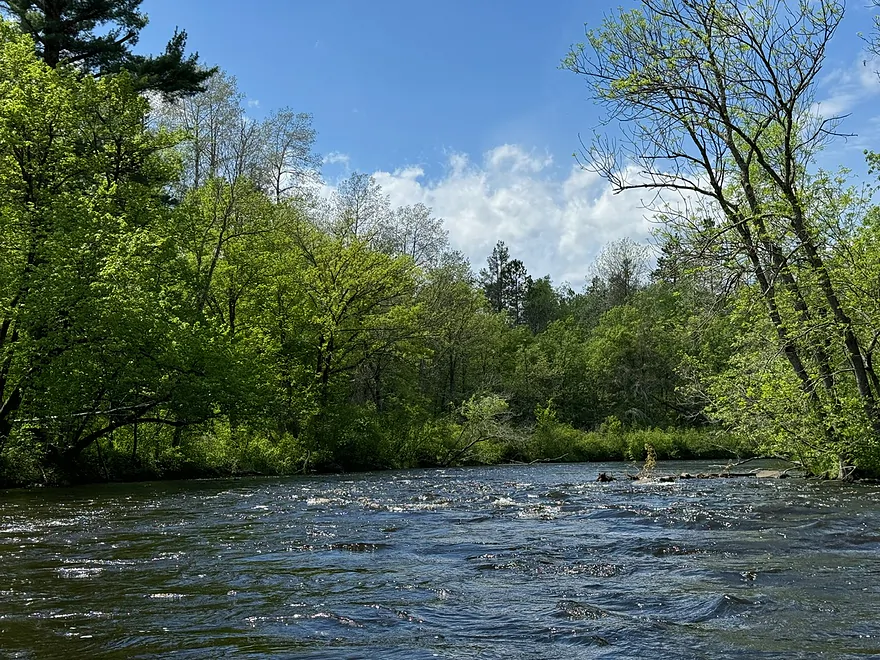
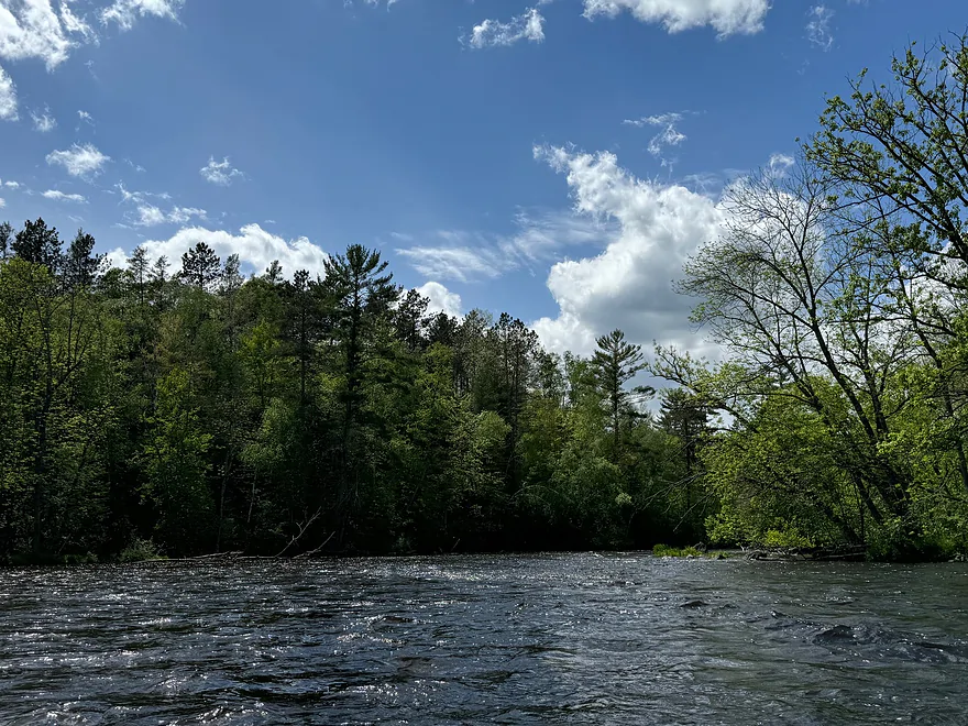
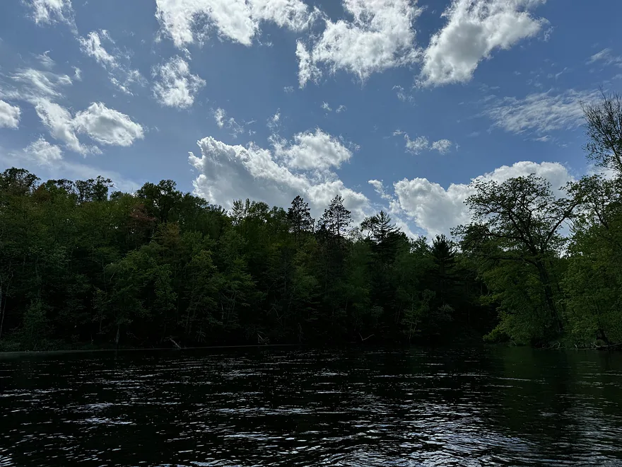
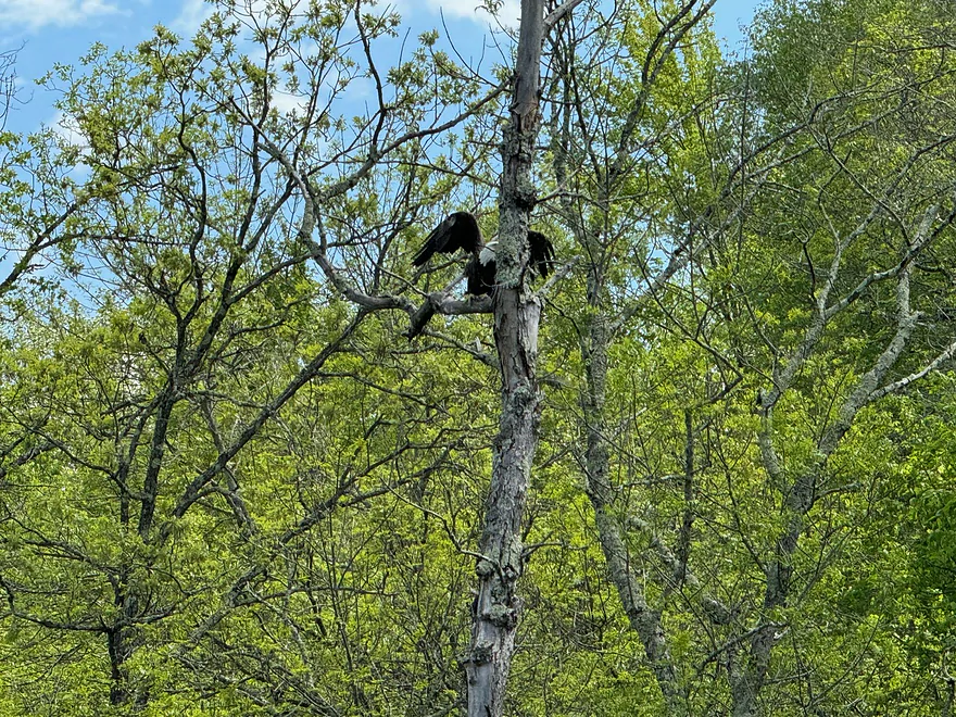
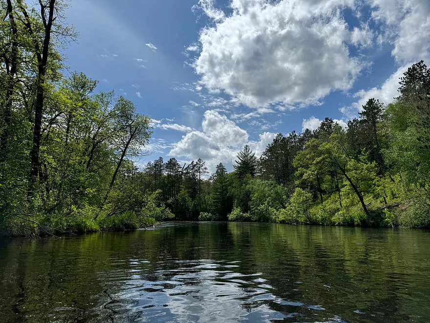
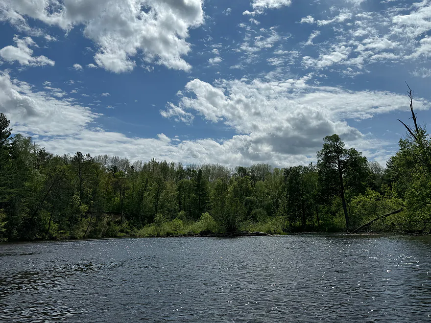
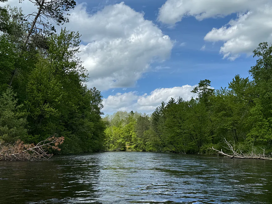
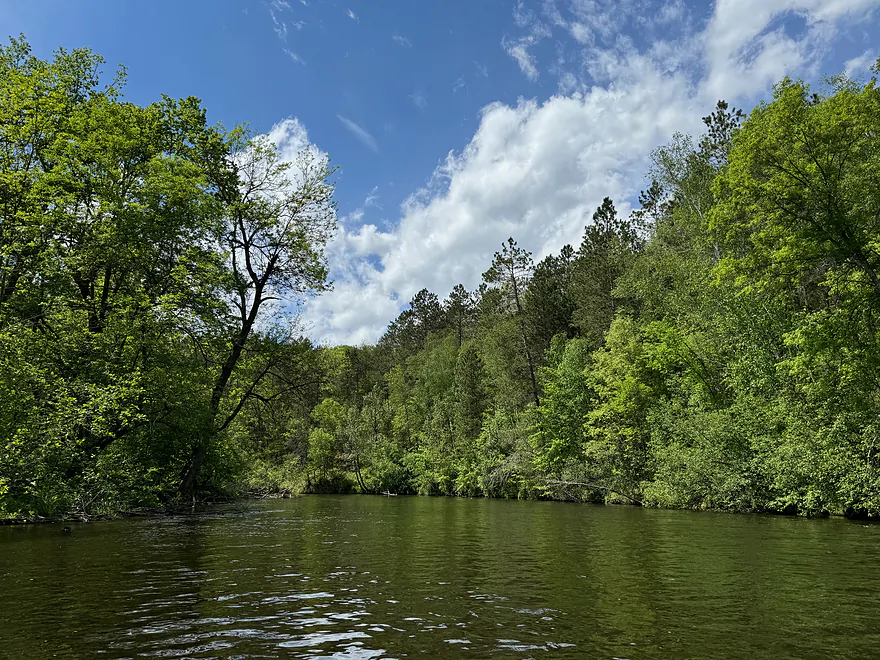
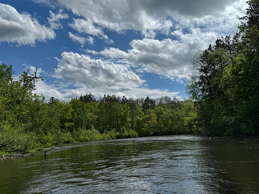
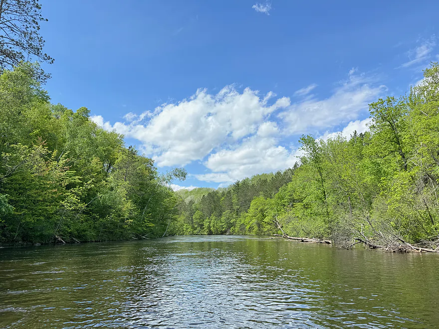
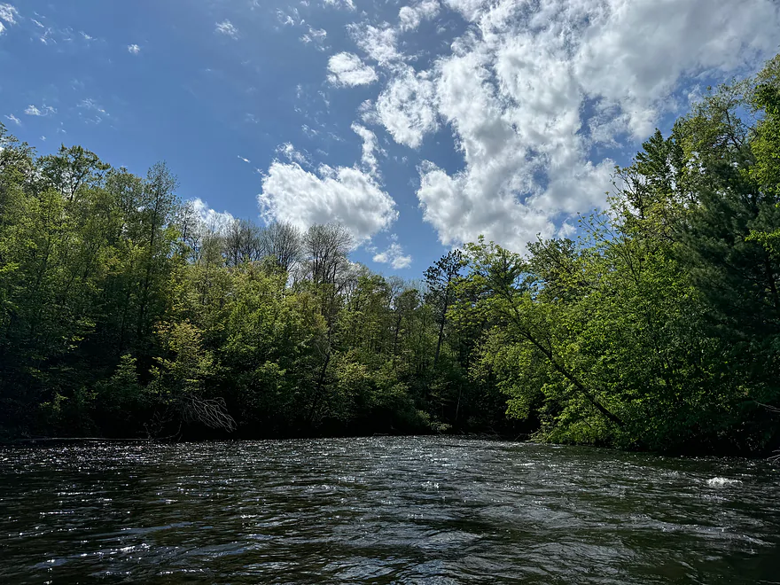
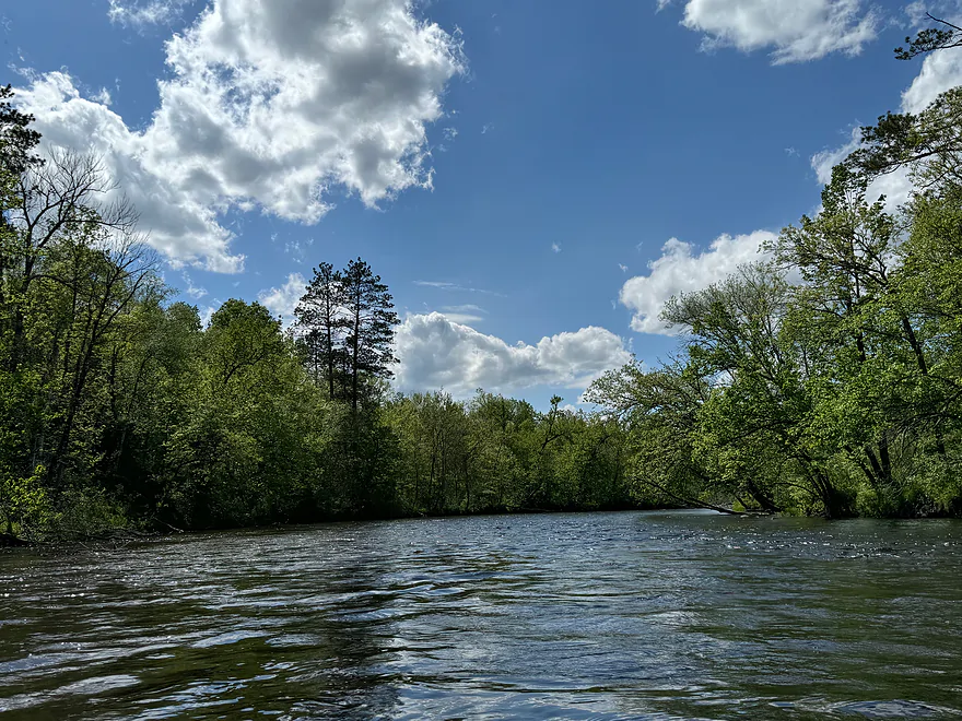
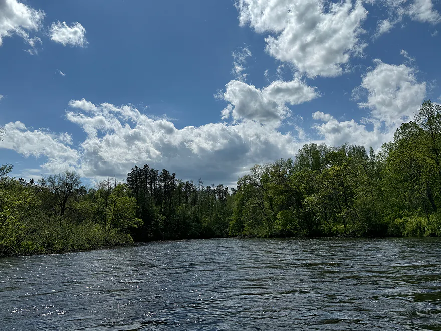
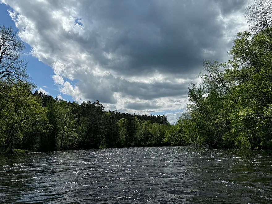
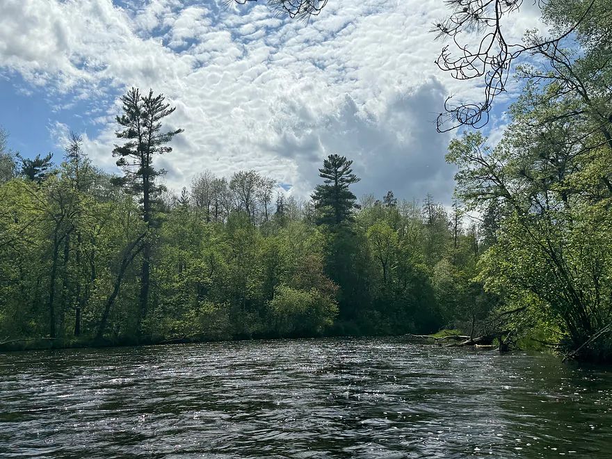
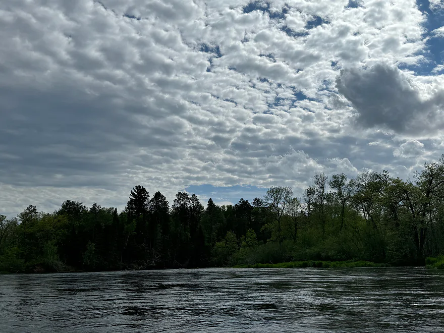
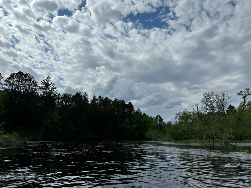
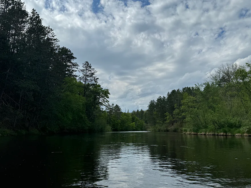
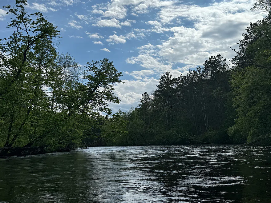
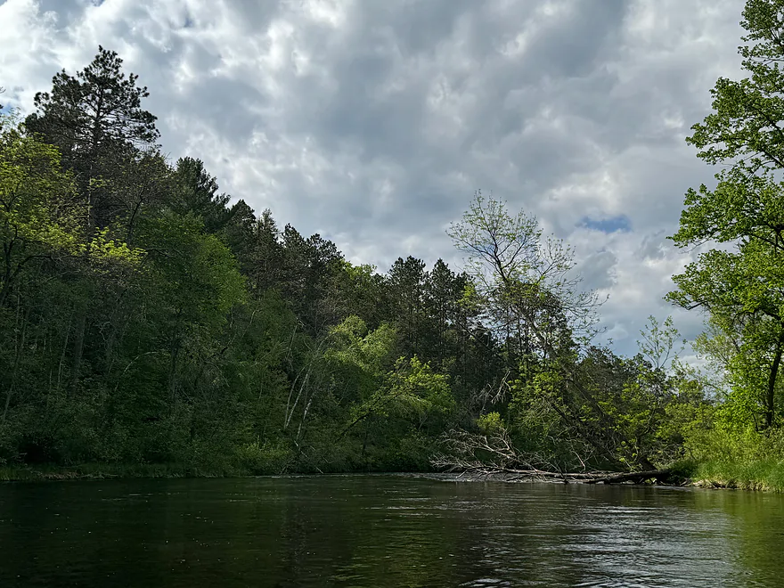
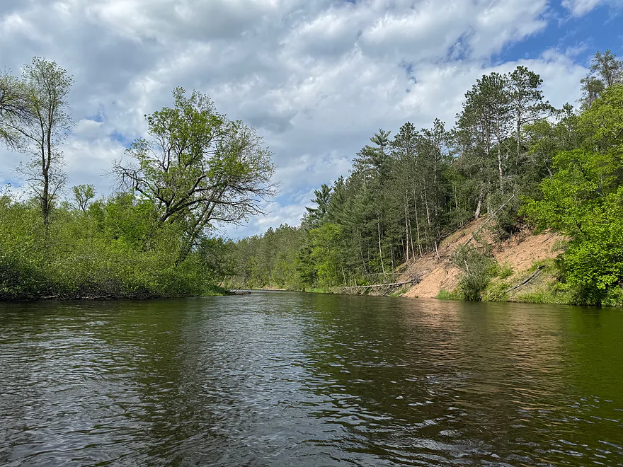
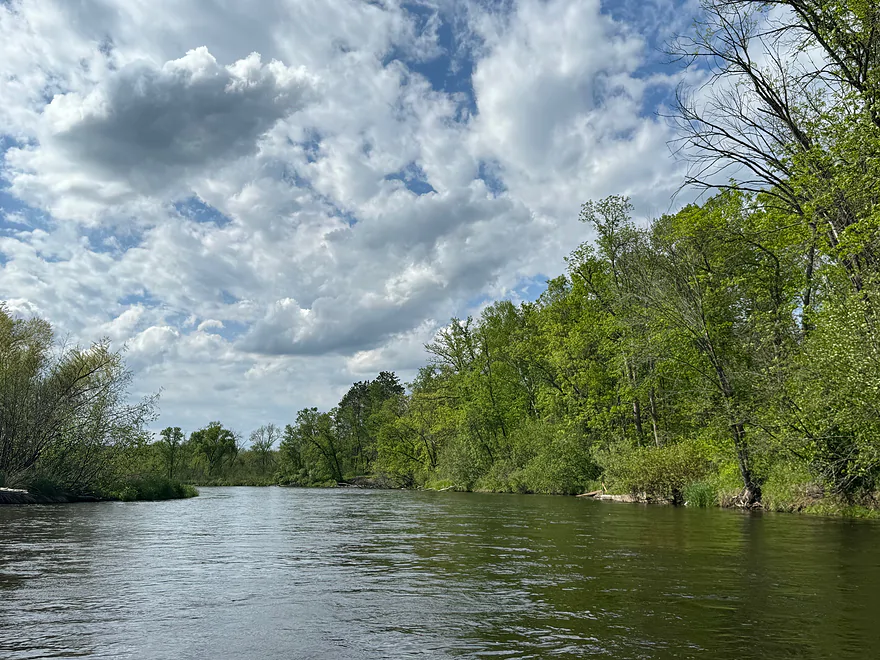
This section of the Namekagon River is very scenic, yet moves fairly fast. There are several class I rapids throughout the trip along with numberous riffles. Wildlife is abundant including many turtles and the occasional bald eagle.
If you’re looking for a trip with light rapids and a quick moving river, this is definitely a great stretch of the Namekagon to paddle.
Thanks Peter for the review! WisconsinRiverTrips.com is always very appreciative of guest reviews, and if you the reader is ever interested in submitting one, you can use this online form.
Detailed Overview
- Upstream from the Namekagon River Dam: There is an immediate flowage and then upstream the river splinters and could still be navigable, but I don't know.
- Namekagon River Dam to Cable Wayside: 14.7 miles.
- Namekagon River Dam to Hwy M: 7.2 miles. A terrific leg with some Class 2 rapids.
- Hwy M to Cable Wayside/Hwy 63: 6.9 miles. Good prospect with much less rapids. Many intermediary access options (each bridge really).
- Hwy 63 to Mossback Road Landing: 3.9 miles. Very good prospect and a local favorite.
- Mossback Road Landing to Larson Road Landing: 4.9 miles. Very good prospect and a local favorite.
- Larson Road Landing to Phipps Landing/Hwy 63: 3.3 miles.
- Phipps Landing to W. Phipps Bridge/Trout Run Landing: 2.8 miles.
- W. Phipps Bridge to Eagle's Landing: 2.4 miles. Eagle's Landing should be a bit NE of W. Hospital Road.
- Eagle's Landing to Hayward Dam: 3.2 miles. Mostly flowage paddling.
- Hayward Dam/1st Street to Stinnett River Road Landing: 9.1 miles. A good and popular stretch.
- Stinnett Landing to Groat Landing/Brickman Lake Road: 3.0 miles. Several Class 1 rapids.
- Groat Landing to Springbrook Landing: 4.9 miles.
- Groat Landing to Trails End Road Landing: 2.4 miles. Section with Class 2 rapids.
- Trails End Road to Legion Lane Landing: 2.7 miles. A few Class 1 rapids.
- Legion Lane Landing to Big Bend Landing/Pow Road: 5.2 miles. A few Class 1 rapids.
- Pow Road to Earl Park Landing/Road N: 3.8 miles. Mostly flatwater.
- Earl Park Landing to Trego/Cash Road: 5.0 miles. Mostly flatwater...there are other take-out options in Trego. Take-out is just NE of Wagon Bridge Road.
- Trego to Road K Landing: 5.6 miles. Mostly flowage paddling.
- Road K to McDowell Bridge Landing: 22 miles.
- Road K to Whispering Pines Road Landing: 10.3 miles.
- Whispering Pines to Howell Landing: 4.4 miles. You can take out on either side of the river.
- Howell Landing to Fritz Landing/River Landing Road: 3.5 miles.
- Fritz Landing to McDowell Bridge Landing/Web Creek Dr.: 2.7 miles.
- McDowell to Namekagon Trail Landing: 7.0 miles.
- Namekagon Trail Landing to Mouth: 5.0 miles.
- Mouth to Riverside Landing/Hwy 35: 3.7 miles. A short stretch on the St. Croix to reach a take-out.
Trip Map
Overview Map
Photos Size:
Put in at County K
How did your trip turn out? Questions or comments? Feel free to leave your feedback.
SUBMIT COMMENT!
Be notified when future paddle reviews go live by subscribing!
