
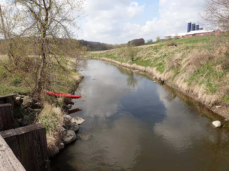
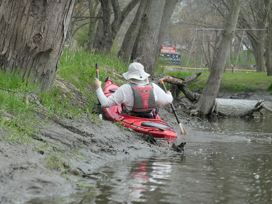
Putting in at Cherry Lane
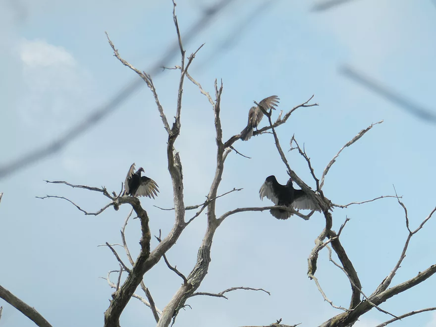
Turkey vultures doing the “horaltic” (wings spread) pose
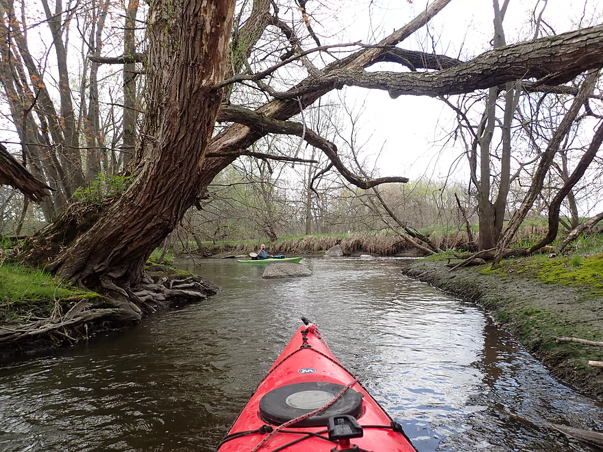
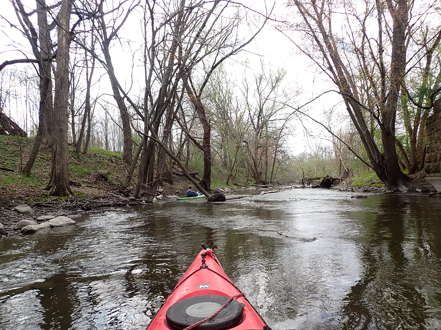
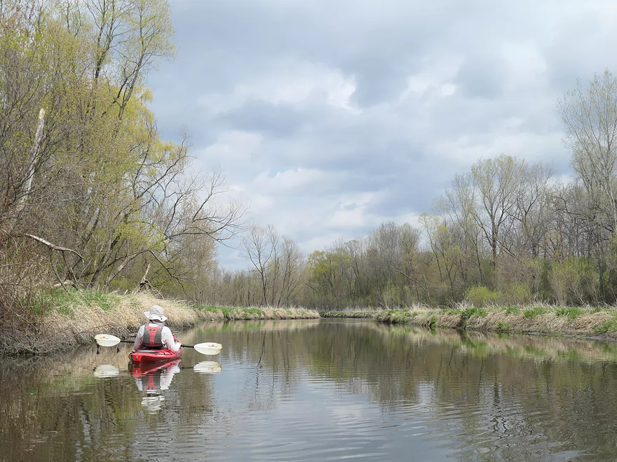
Cool little side channel
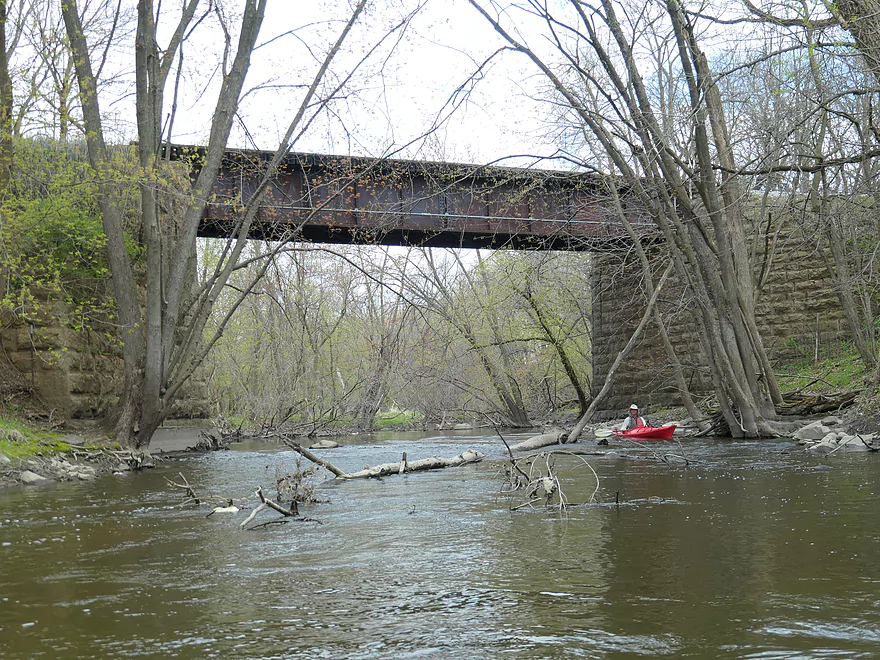
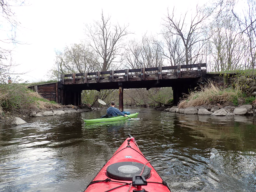
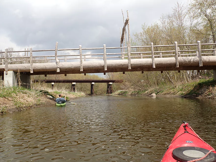
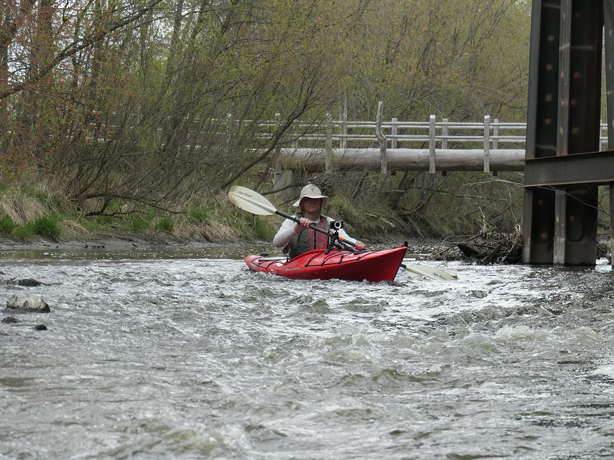
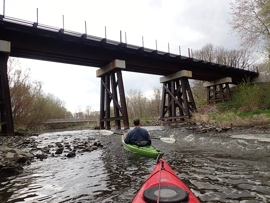
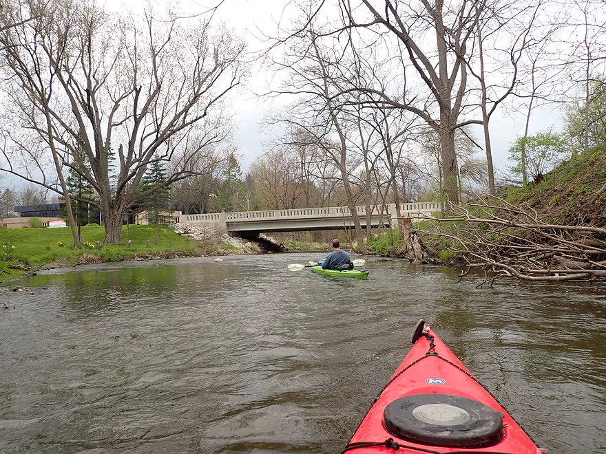
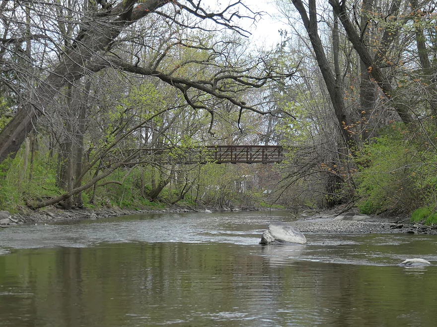
An old railroad bridge
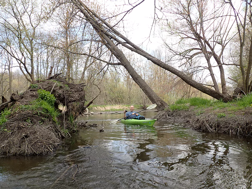
River rerouted around this downed tree
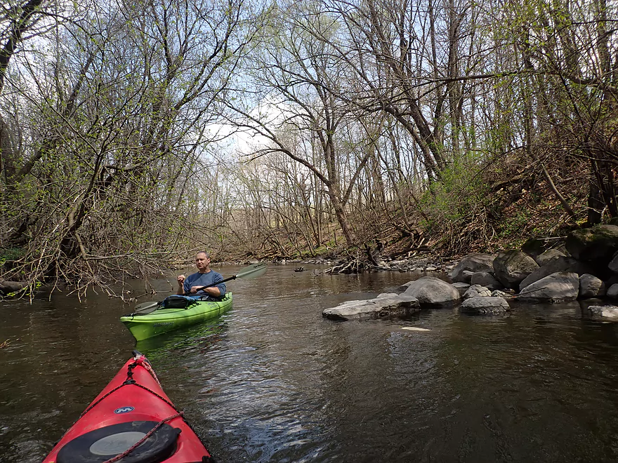
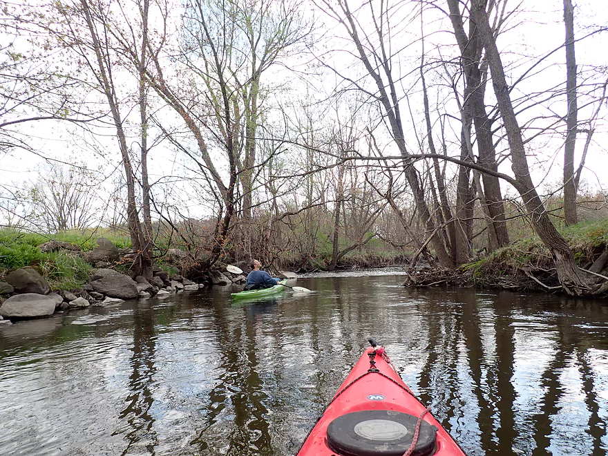
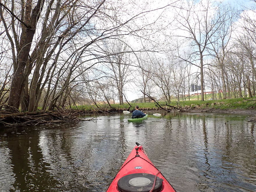
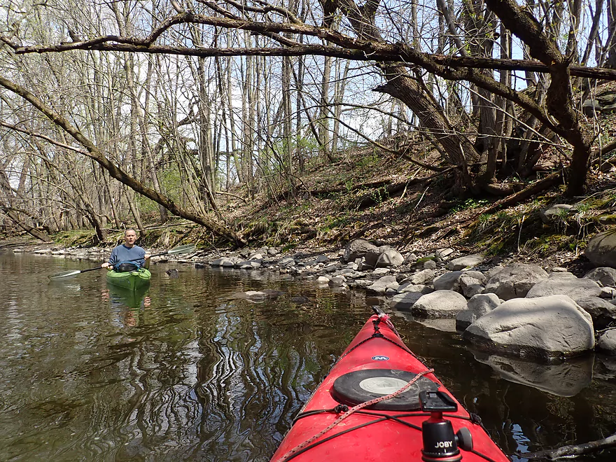
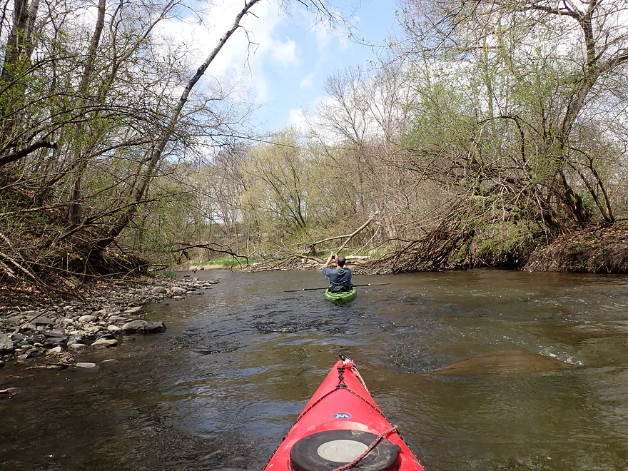
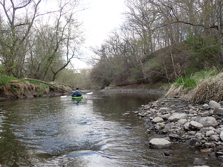
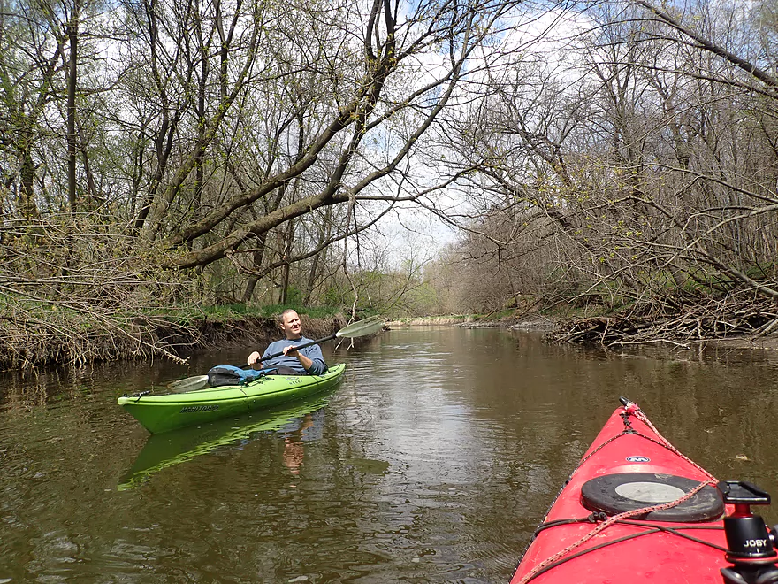
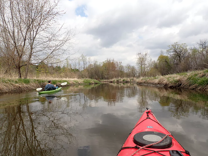
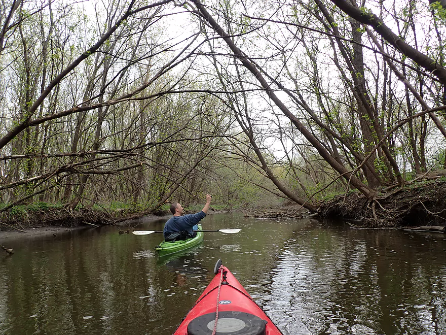
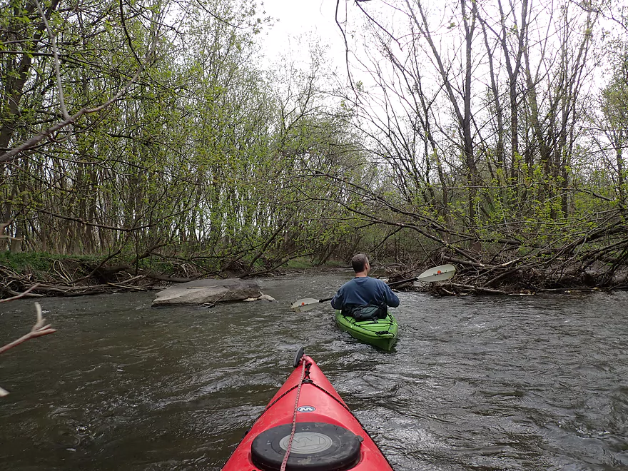
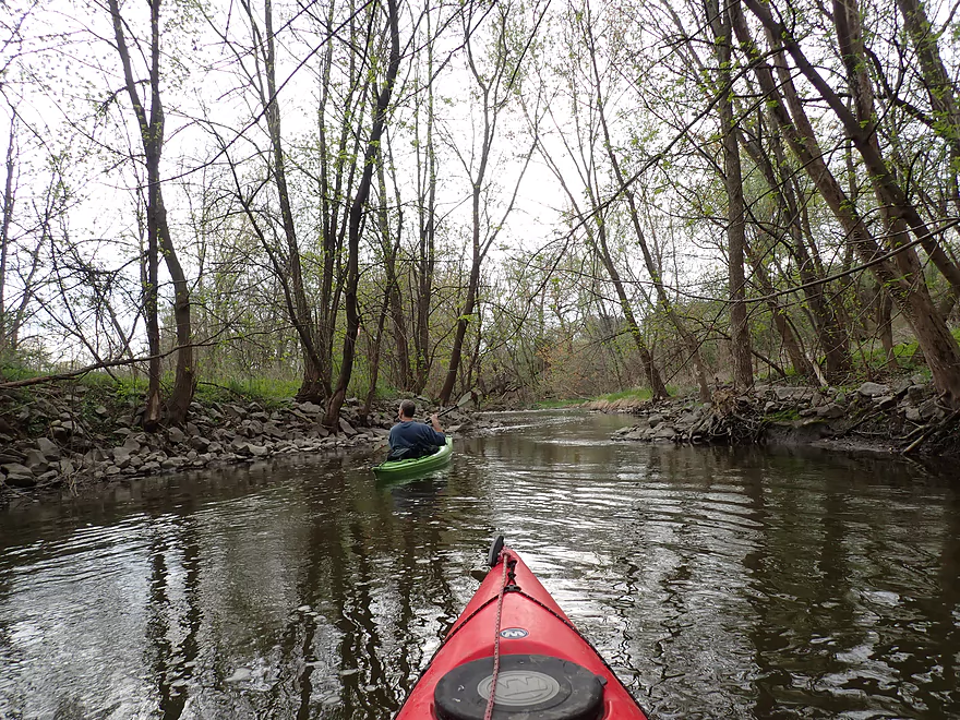
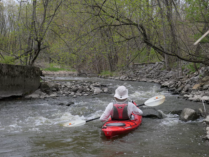
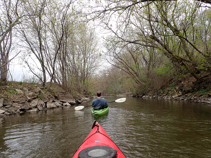
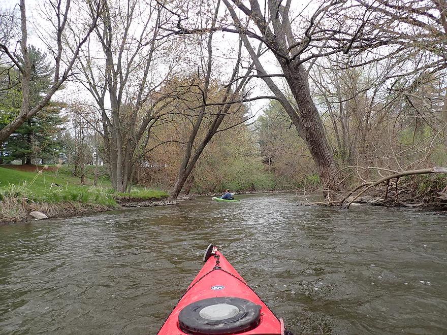
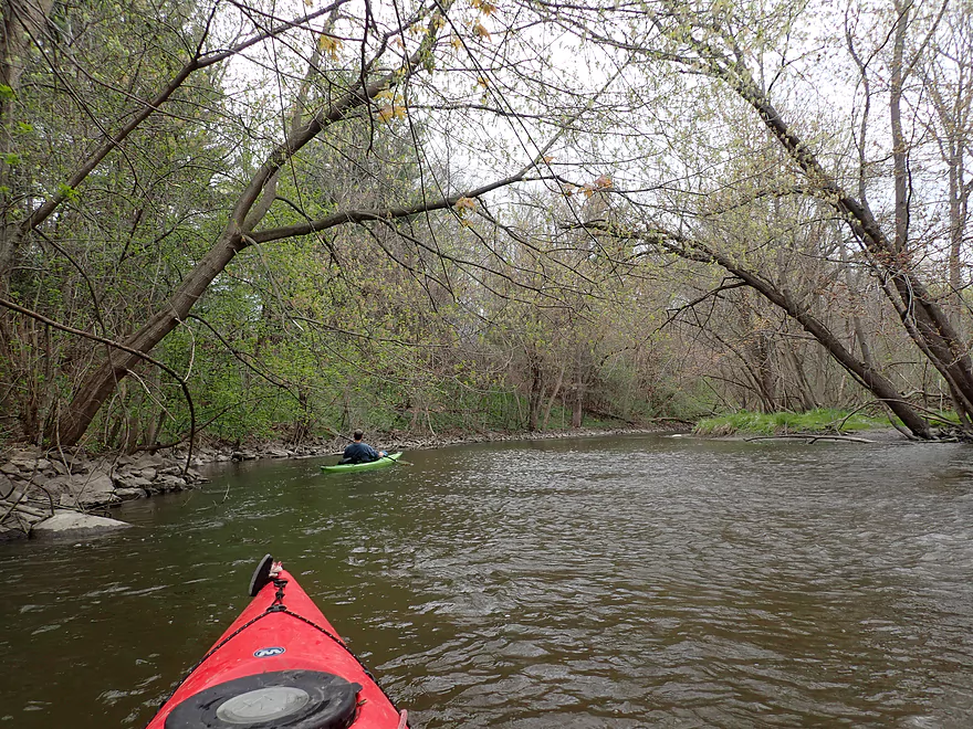
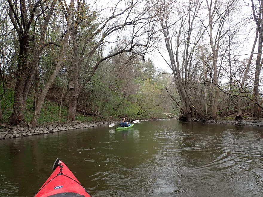
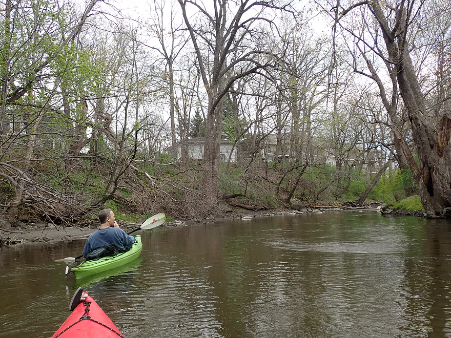
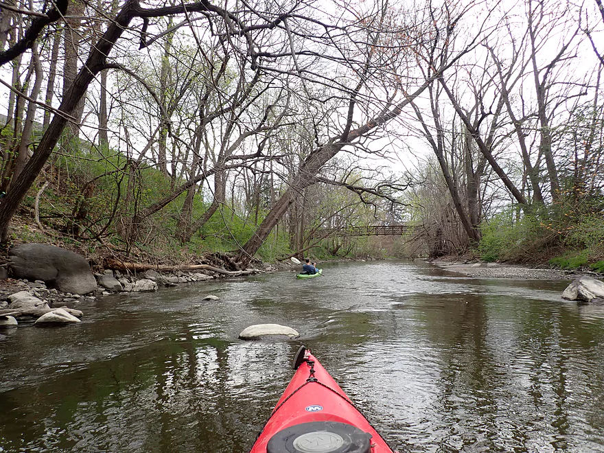
Nice wooded stretch
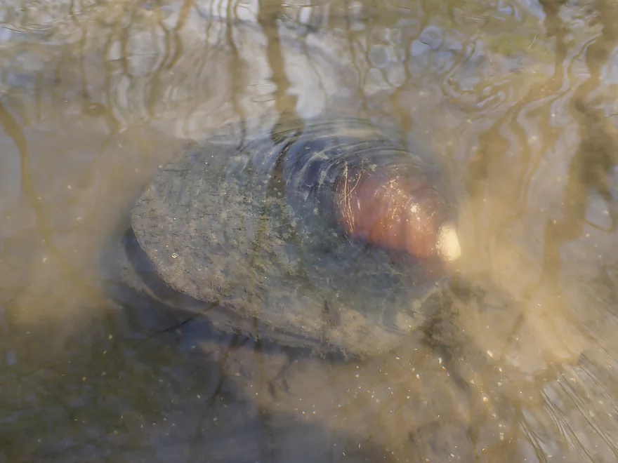
I was surprised to see clams
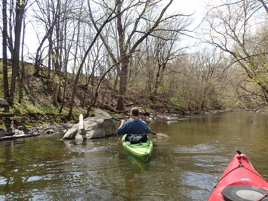
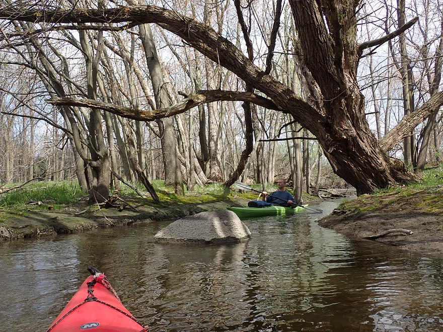
Lot of glacial boulders
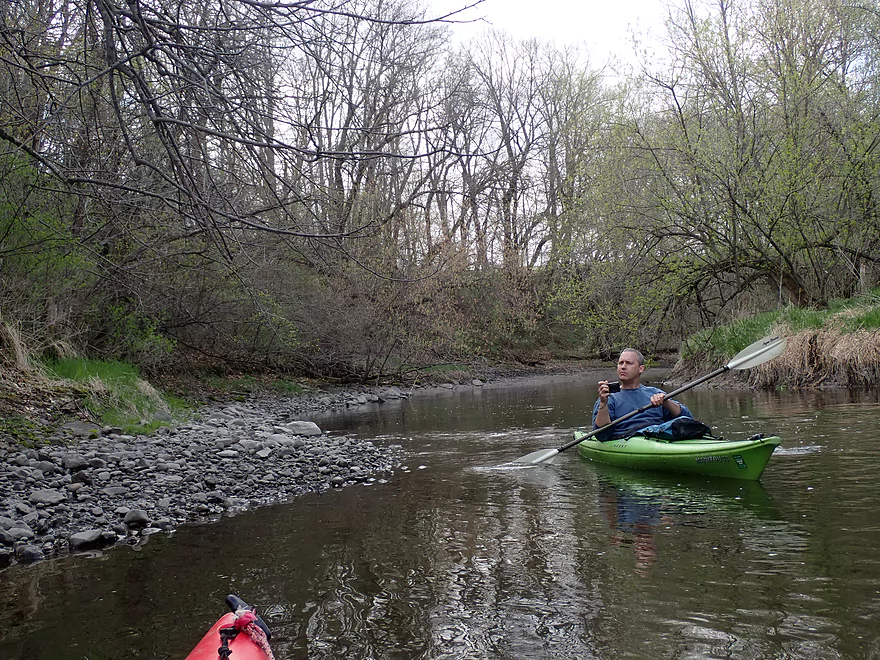
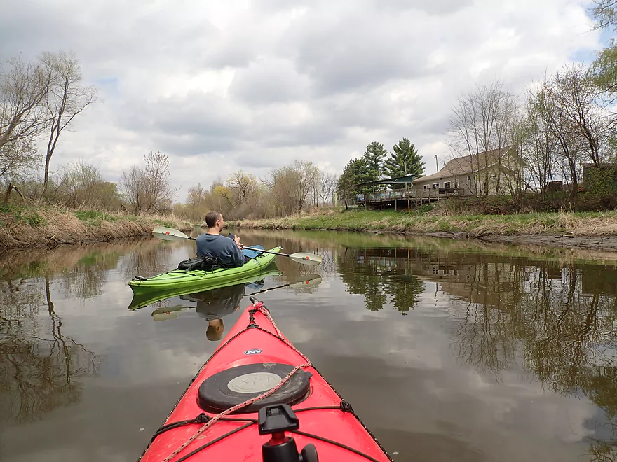
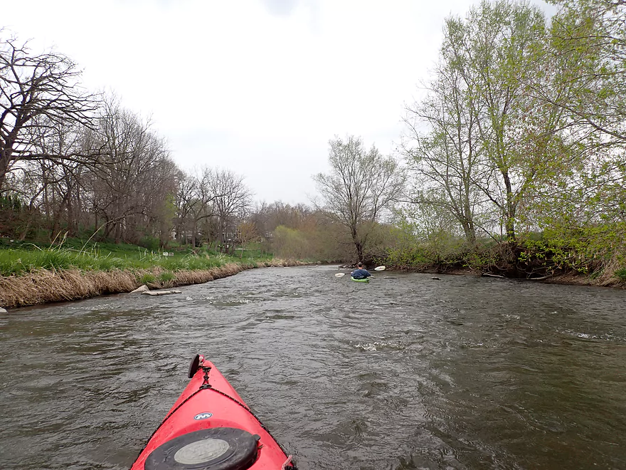
Scenic stretch
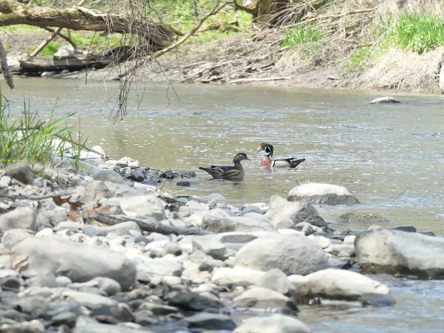
This is a female (left) and male wood duck (right). The males have fantastic color.
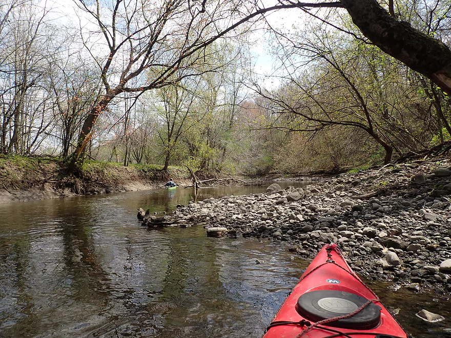
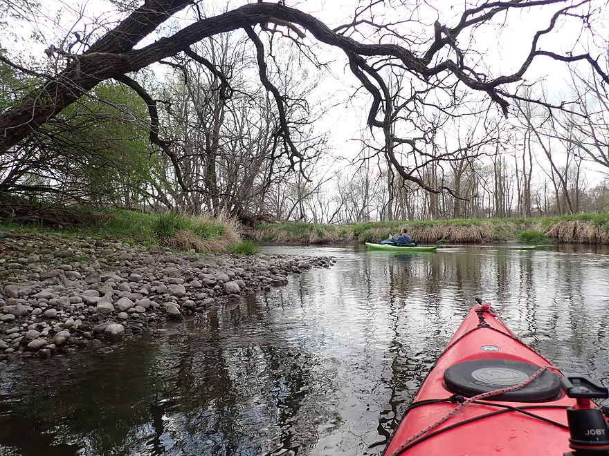
Low water levels exposed this rocky shoreline
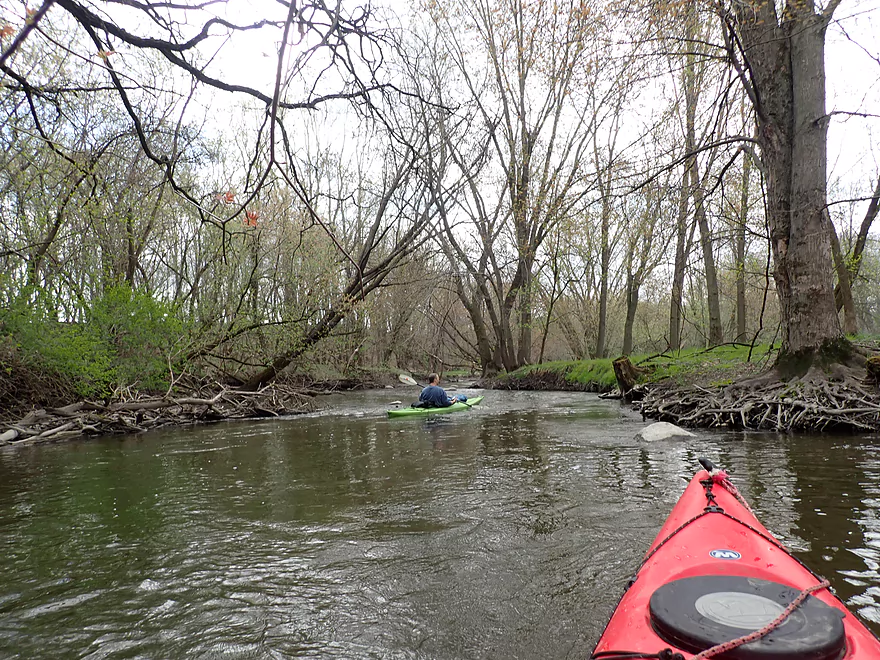
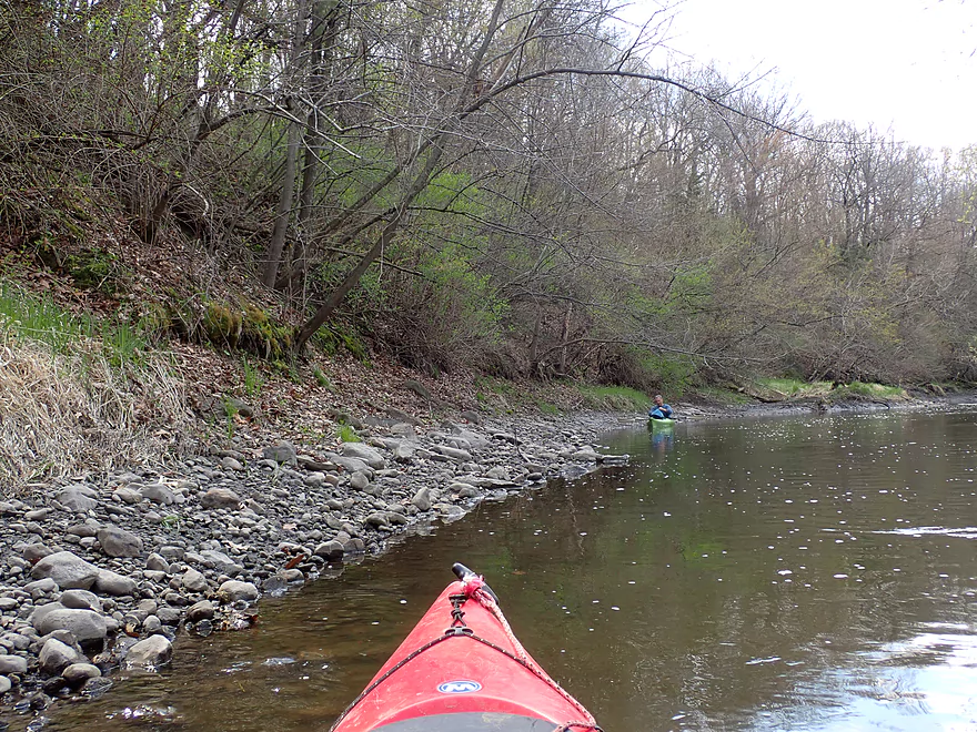
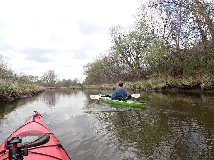
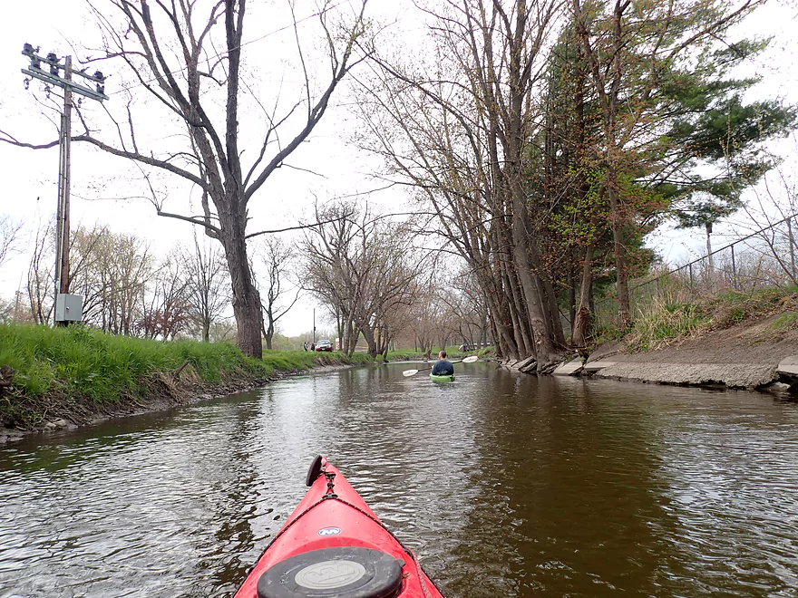
Neat part of the river
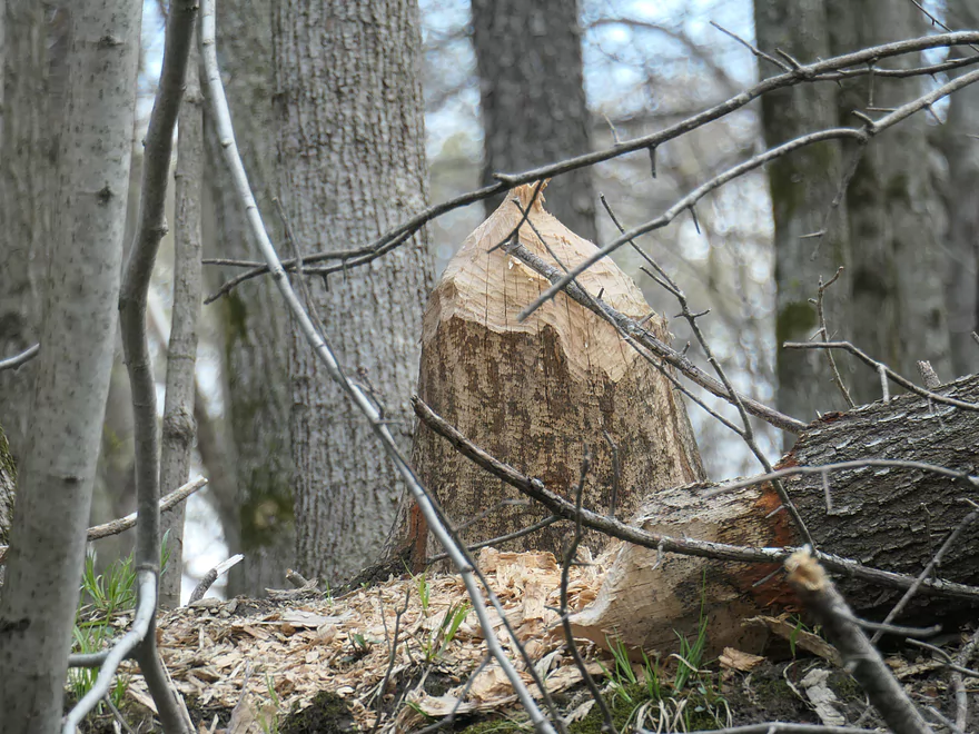
Beaver activity
Entering a more open stretch
Whisper’s Roadhouse
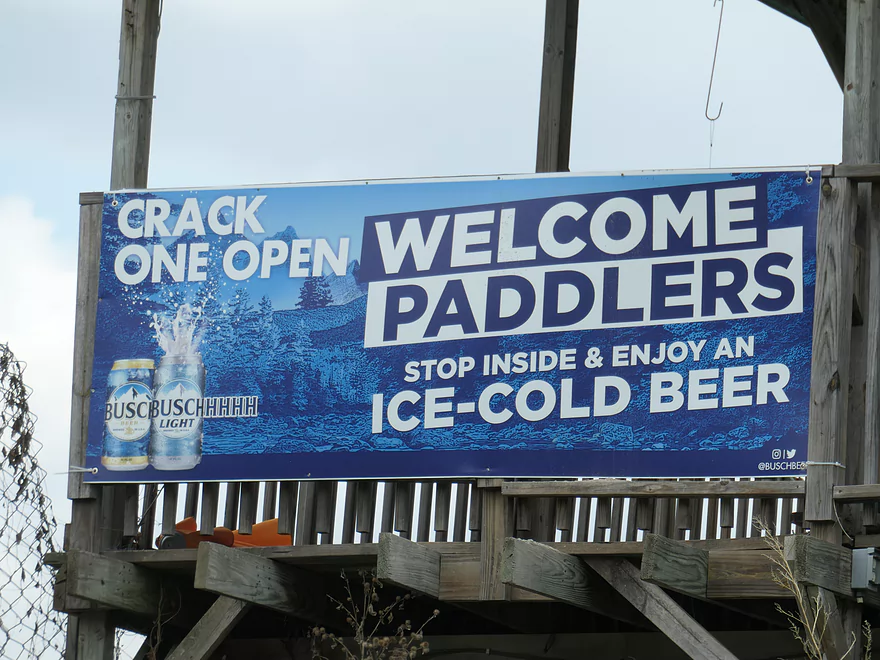
Advertising for paddlers
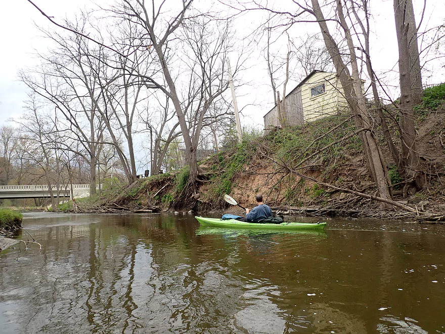
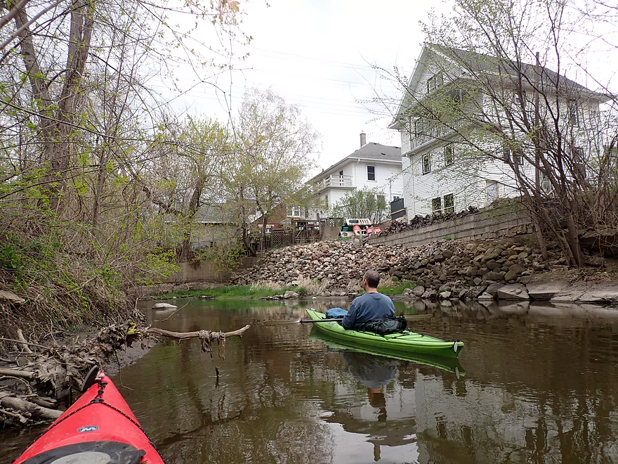
This used be a flowage
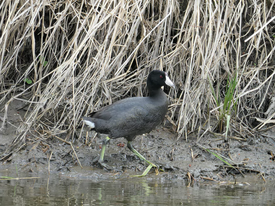
A coot
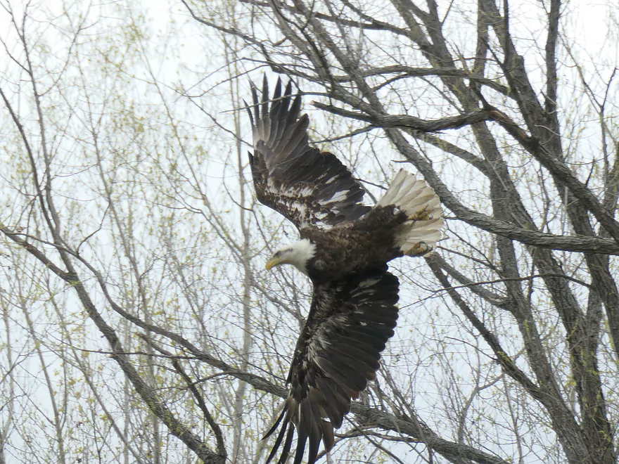
Adult bald eagle
Clouds signify an incoming rain storm (we got a bit wet)
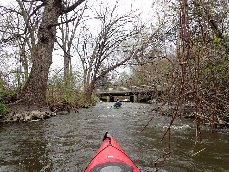
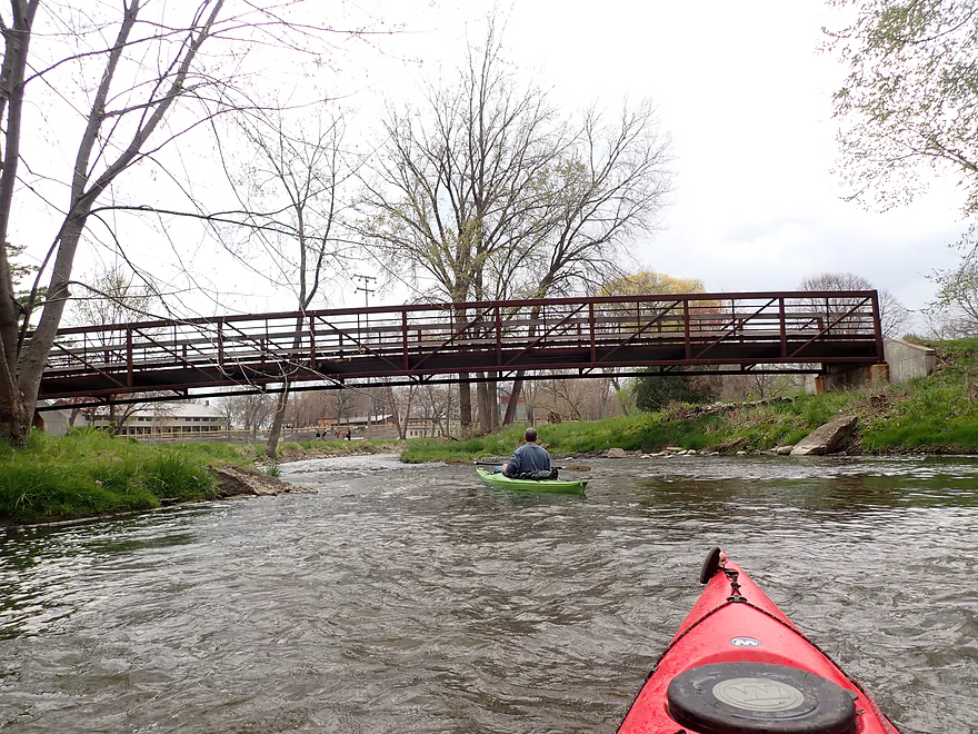
A new Trek bike trail bridge
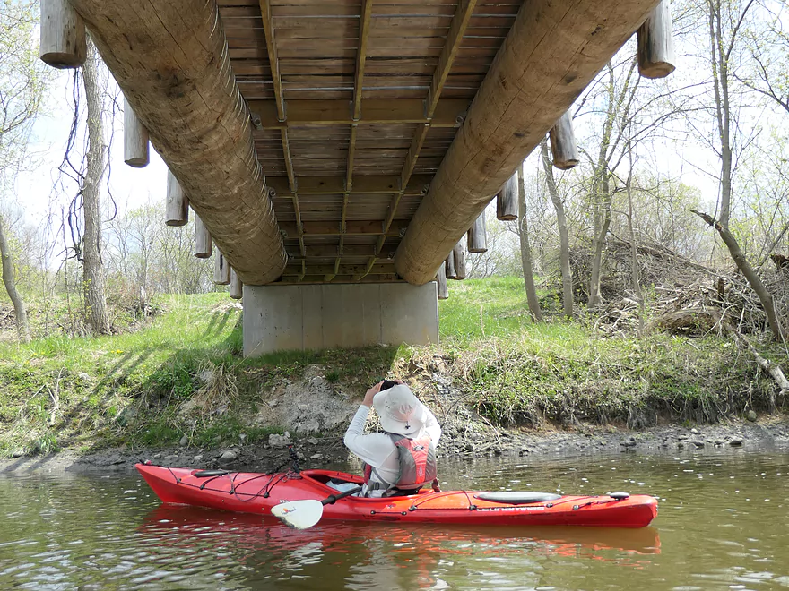
Supported by massive logs
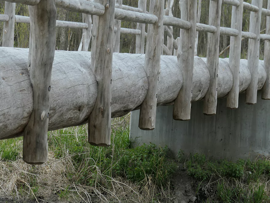
Cool craftmanship
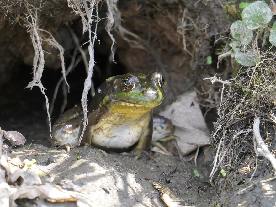
He looks like hypnotoad
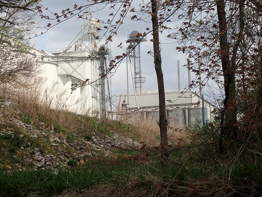
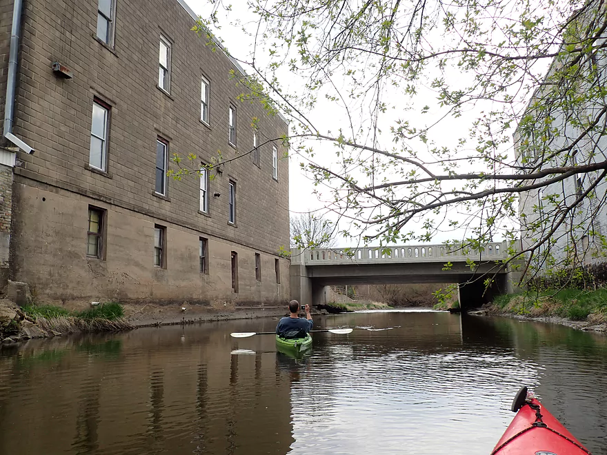
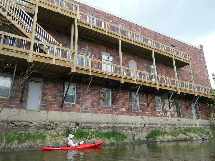
A massive malt factory (will close soon)
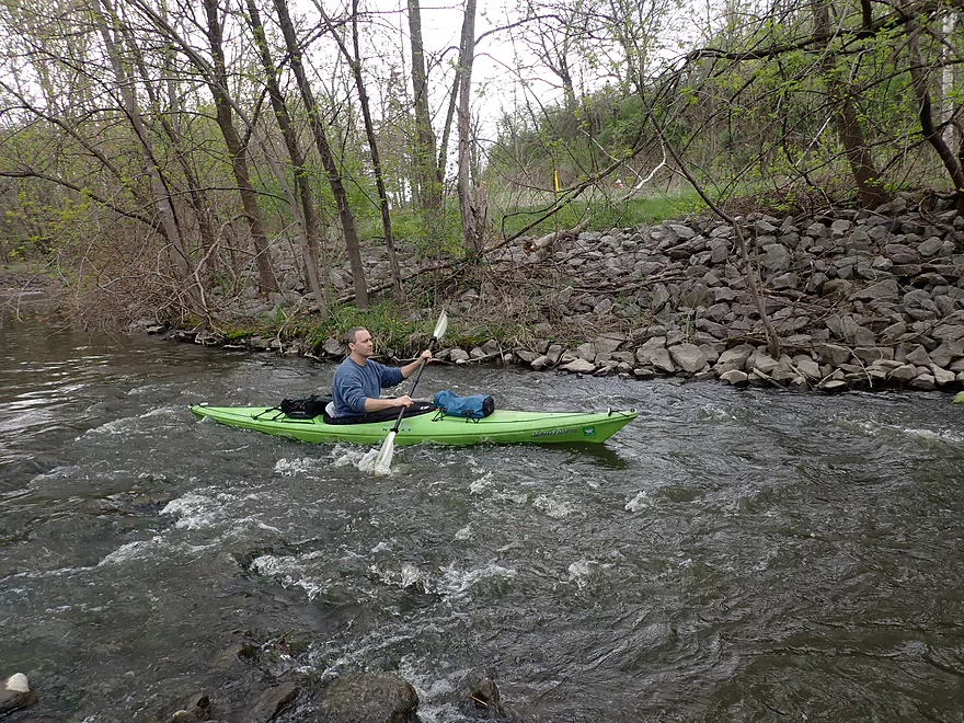
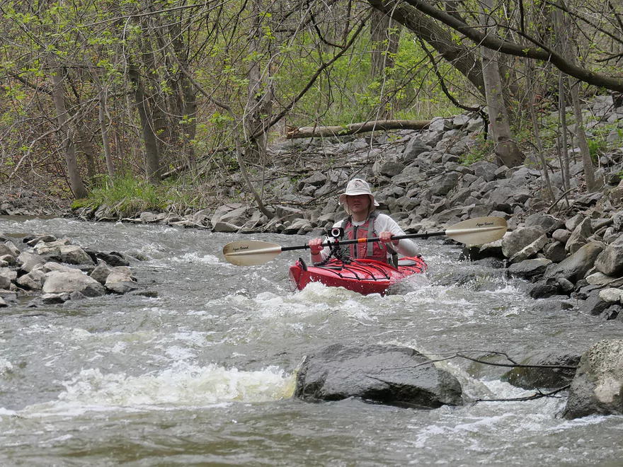
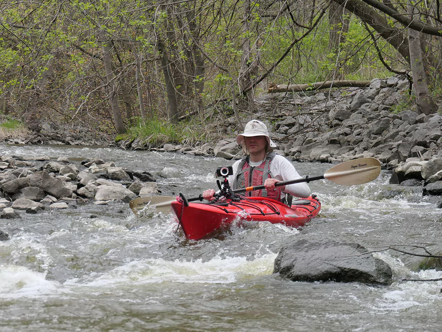
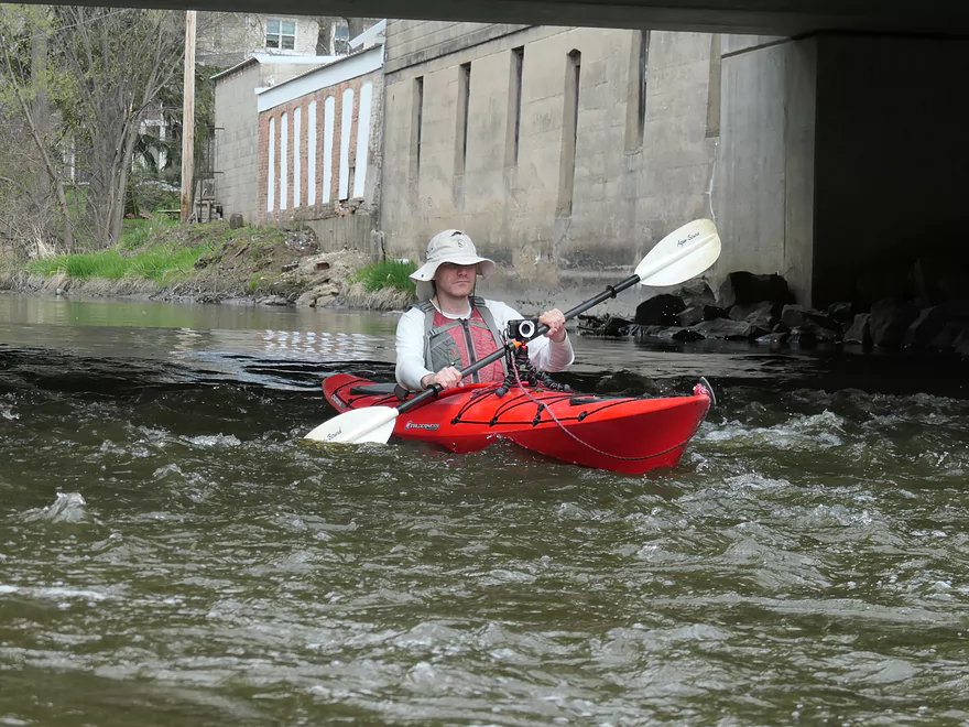
Some fun rapids
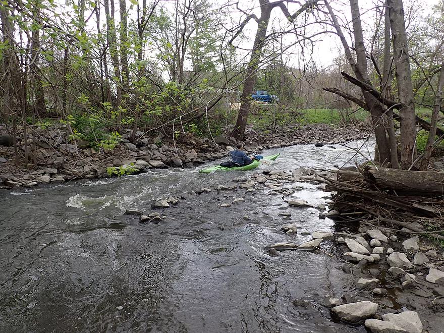
There used to be a massive logjam here
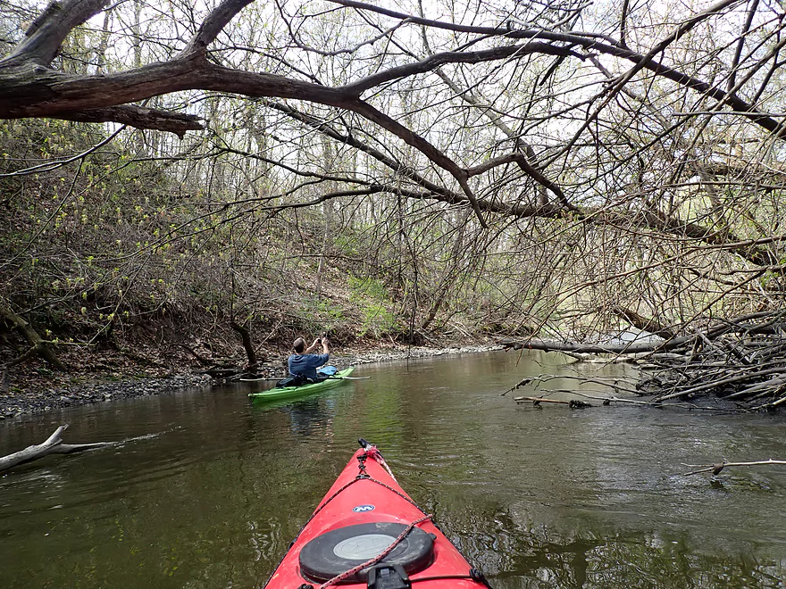
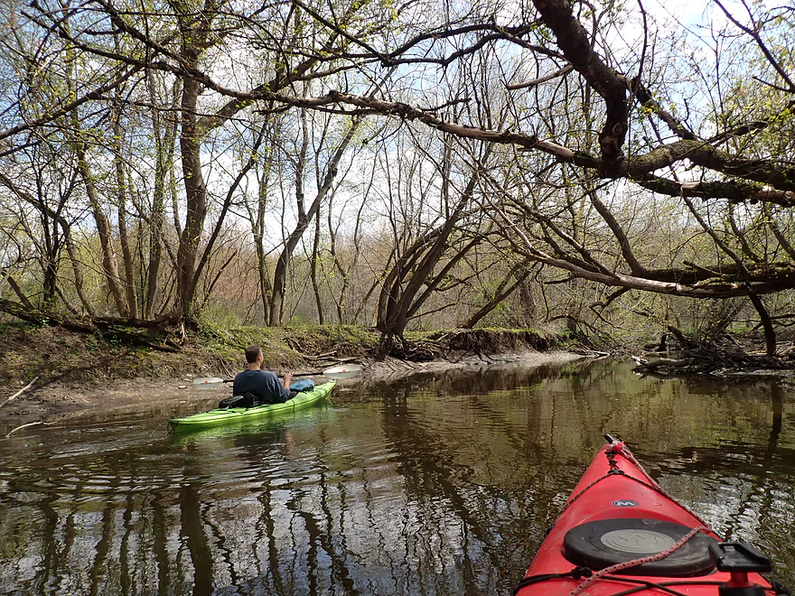
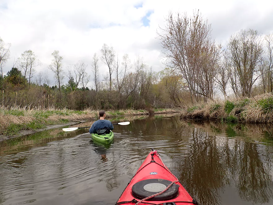
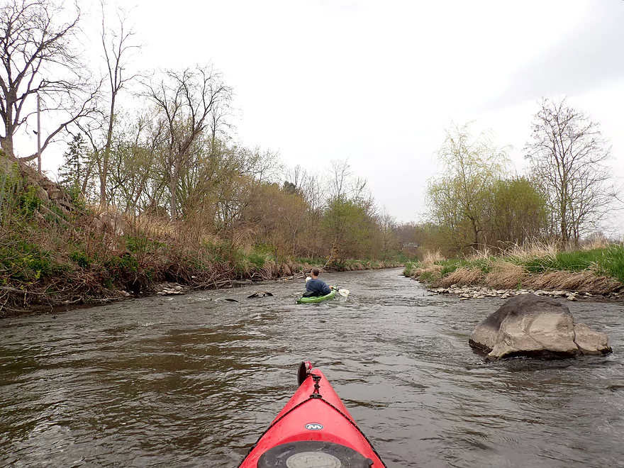
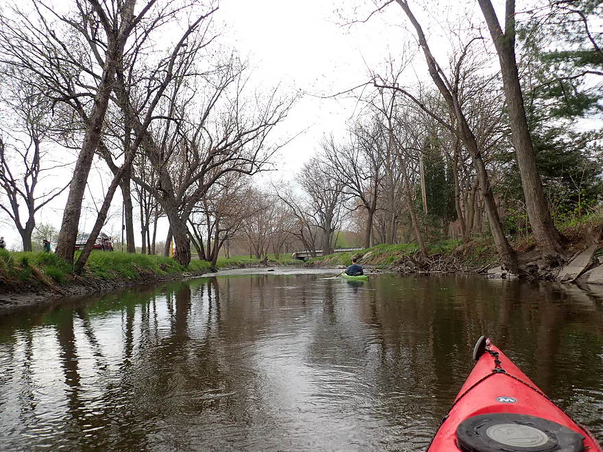
Entering a more wooded stretch
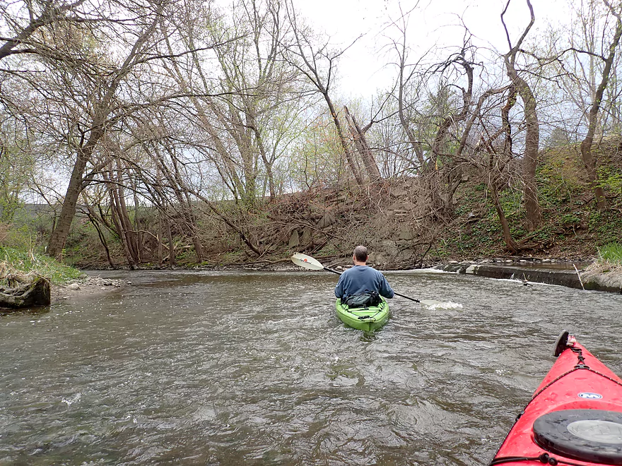
Site of a former dam
All that remains is a fun chute
Reverse view
Old dam remnants on left
Hwy 19
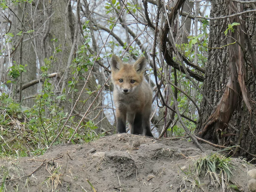
One of two baby foxes that were playing by the river
There were a number of light rapids in the last 2 miles
Madison Street
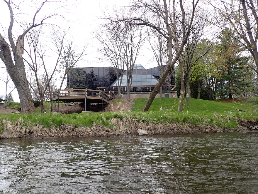
I believe this is the old Perry Printing Company headquarters–before they closed
Nice city walk bridge
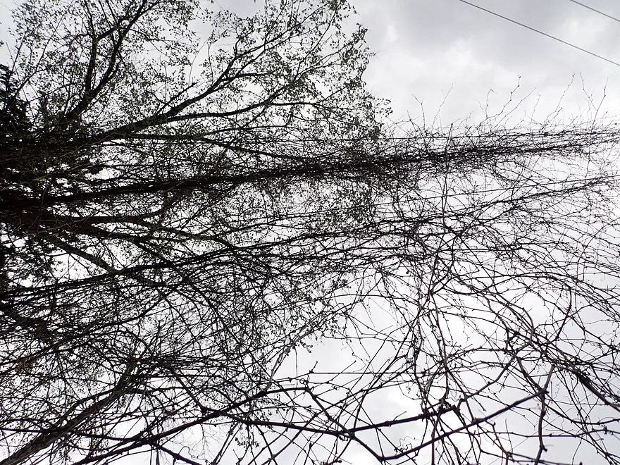
Vines growing all over these power line wires
Old downtown buildings
Many of the banks along this stretch had concrete or stone rip-rap
Cool brick-work
Entering Firemen’s Park
Kind of a muddy take-out
But not bad…better access maybe on the right side
Maunesha River – Cherry Lane to Waterloo

Six years ago I did a trip on the Maunesha River between Marshall and Waterloo. Those circumstances weren’t ideal…water levels were high and logjams were a big problem. Despite that it had a lot of potential. A local group has since formed (“The Maunesha River Alliance”) which has done a terrific job of cleaning up the logjams. I was curious to see how the river had changed, so decided to revisit this section.
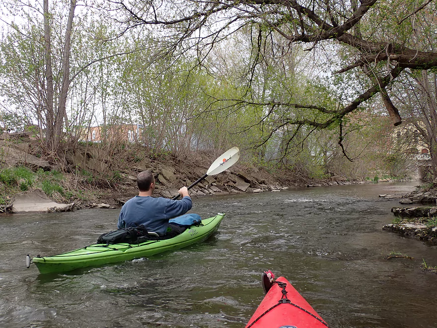
This trip had three distinct sections that are almost different rivers. The first third flowed south through a nice woods. Along the banks were exposed stretches of gravel which we could see because water levels were down. I suspect much of this is glacial outwash from the last Ice Age. Six years ago this leg of the river had the worst-of-the-worst logjams…but now it was clear sailing, thanks to the hard work of local volunteers.
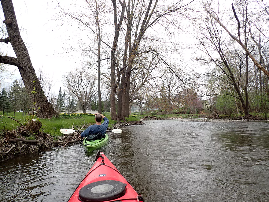
For the second third of the trip, the river made a sharp turn to the northeast and flowed through what used to be a flowage. This was an open stretch with fewer trees that was pleasant, but might have been the weakest part of the trip. It was funny paddling past the bar “Whisper’s Roadhouse”. Facing the river was a large sign stating “Paddlers Welcome – Stop Inside & Enjoy an Ice-cold Beer”. That wasn’t there before! This might be a sign that this is now a popular paddling river.
Something else new that wasn’t there in 2015 was a large wooden walk bridge. This consisted of huge logs carefully fitted together like a log cabin. It was very artistic, and I believe it is a part of the Trek Bicycle trail system.
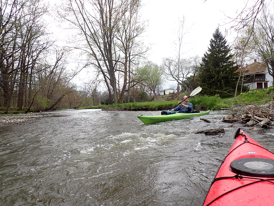
Just after the Trek bridge was a second railroad bridge. Six years ago, this was the site of a massive shore-to-shore logjam that had piled up along the bridge pylons. The only way through was a narrow two foot chute that could be harrowing to run (video of this in 2015). Now all the logs were gone…a herculean feat, thanks to the Maunesha River Alliance! All that remained were some light rapids that were easy to run.
Just after the second railroad bridge marked the start of the third part of the river. Along the south bank was Briess Industries (a large malt factory). At the base of the plant was the remnants of a former mill dam. All that remained was a fun chute and some Class 2 rapids.
Following the dam, there were many light rapids. This was IMO the best part of the trip. Here the river flowed through downtown Waterloo and featured a number of urban forests, steep hillsides, and old buildings. We ended the trip at Waterloo Firemen’s Park, where we saw what looked like a biology class doing water quality samples as well as another group of kayakers putting in.
In summary this was a great trip that I highly recommend. In fact I would rank it as one of seven “super paddles” in close orbit of Madison (the others being Badfish Creek, Black Earth Creek, Upper Yahara, Upper Token Creek, Nine Springs Creek, and the Sugar River through Paoli).
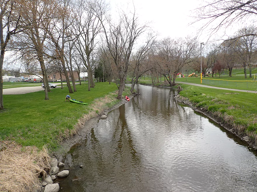
Cherry Lane: This was a decent bridge access. The best parking and launch options are at the southwest corner of the bridge.
Alternate Put-ins:
- Waterloo Rd (1.6 miles upstream of Cherry Lane): Starting here would include a nice wooded stretch.
- Waterloo Dam (3.0 miles upstream of Cherry Lane): Same as the above plus a 1.4 mile stretch that is more open and next to busy Hwy 19. There is a public access below the dam, but it is a bit hidden.
Waterloo Firemen’s Park: Just southwest of the Spring Street bridge there is a marked take-out and a pull-off area for parking. The only downside to this access is that the banks are a bit steep and muddy.
Alternate Take-outs:
- Firemen’s Park Trail Bridges: There are also two trail bridges in the park (one upstream of Spring Street and one downstream). These are better areas for getting out of a boat, but they would require dragging your boat a longer distance to reach your car.
- Hwy 19 Wayside (3.2 miles downstream from Firemen’s Park): This is a good add-on stretch. The Hwy 19 Wayside is an excellent public access.
- Hubbleton Road Landing (5.5 miles downstream from Firemen’s Park): Same as the above plus a more open stretch to the Crawfish River. Hubbleton Road Landing is a good public access.
Firemen’s Park to Cherry Lane: 3.0 miles and 118′ of ascent. This bike shuttle is a bit hilly, but is quite manageable.
Current: The first third of the trip had steady current, the second third was somewhat slow, and the last third was pretty fast with a number of light rapids.
Rapids: Upstream of the malt factory there are a few riffles, but really nothing noteworthy. Downstream from the malt factory there were many fun rapids. Most were Class 1, but I would rate the rapids by the former dam as Class 2.
Logjams: No logjams…these have been cleared out by locals.
Crawfish River @ Milford – 650 CFS: The Maunesha River lacks a gauge so it is difficult to provide an accurate depth guide. I suspect the best gauge is the Milford gauge on the Crawfish River located just downstream from the mouth. But obviously this isn’t accurate because it includes the much larger Crawfish.
- 0-300 CFS: A low depth. Upstream from the Malt Factory the river is likely fine for paddling. Downstream where the rapids are it might be too shallow.
- 301-400 CFS: An average depth. The rapids downstream from the Malt Factory would be pretty bumpy but likely doable.
- 401-600 CFS: Above average depth…a good target range.
- 601-800 CFS: A high depth with poor water clarity. A good target range for the rapids (although you’ll still hit a few rocks).
- 801-1100 CFS: A very high depth. Current may be pushy in spots and the river likely isn’t as attractive. The downtown rapids stretch though would be fun to do at this level.
- 1101+ CFS: Perhaps too high for enjoyable paddling.
Detailed Overview
- Elder Lane to E. Branch Road: 1.8 miles. Likely too many logjams.
- E. Branch Road to Twin Lake Road: 1.1 miles. Likely too many jams.
- Twin Lake Road to Greenway Road: 1.4 miles. Likely too many jams.
- Greenway Road to Hwy TT: 4.0 miles. Passes through the Deansville State Wildlife Area. Logjams are likely a major concern, but some of these should be cleaned out in the process of being cleaned out. Greenway Road is likely NOT a feasible access.
- Hwy TT to Lion's Park: 3.0 miles.
- Hwy TT to Charles Langer Family Park: 1.4 miles. Slow current, a bit muddy and partly wooded. This was recently cleared of logjams.
- Charles Langer Family Park to Lion's Park: 1.5 miles. A lake paddle on Marshall Millpond. The banks are heavily developed but still somewhat interesting.
- Marshall Dam to Cherry Lane: 4.0 miles.
- Dam/Waterloo Road Access to Waterloo Road Bridge: 1.4 miles. A wider and more open section of the river.
- Waterloo Road Bridge to Cherry Lane: 1.6 miles. Nice wooded section.
- Cherry Lane to Waterloo Firemen's Park: 5.3 miles. A very nice stretch. The first third flowed through a nice woods with thick gravel substrate. The second third is a more open paddle through a former flowage. The last third flowed through downtown Waterloo and contains many fun rapids.
- Waterloo Firemen's Park to Hubbleton Road Landing: 6.4 miles.
- Waterloo Firemen's Park to Hwy 19(1st bridge): 1.2 miles. A scenic wooded stretch.
- Hwy 19(1st bridge) to Hwy 19(2nd bridge): 2.0 miles. A very cool wooded stretch that is quite scenic.
- Hwy 19(2nd bridge) to Hubbleton Road Landing: 2.3 miles. River is wider, more open, and somewhat less interesting compared to upstream sections.
- Hubbleton Road Landing to Hwy BB: 0.9 miles. A short but simple stretch on the Crawfish. There are nice boulders in the river near BB.
Trip Map
Overview Map
Video
Photos Size:
I did this trip on 5/5/21, levels were a bit higher appx 700 CFS and 3.25 ft. Wow! what a great trip, and so close to Madison. A big thanks to all the people at the MRA for all their hard work. The trip took us less than 2 hours, including a stop to empty water from one of the boats after going for a swim in the rapids. We will certainly be back to do the longer trip from Marshal to Waterloo.
It’s too bad to hear about your spill…I assume this happened at the site of the old dam. There are some tight turns in fast current…a bit harrowing but fun!
I just wanted to add some more info,while putting in we met the man who owns the property on the southwest side of the road, he had just mowed it and said that there was an easy place to put in about 50 yards upstream from the bridge and he was fine with people using it. We took out out at the first alt access you mention (West Pedestrian Bridge)as we did not want to deal with the mud at the other points, we found it fairly easy and there is parking nearby.
Thanks for the tip!
Is it possible to portage around the rapids?
Yes…you can portage the main rapids. Just portage on the island or head down the millrace (on the right) which you can then wade over. I suggest bringing aquatic shoes if you plan on portaging.
Did this trip a week and a half ago (05/17/23) and unfortunately it is currently chocked up with difficult to portage logjams. Got plenty of scrapes dragging my kayak over all the logs. Once those were done, around the Davis Instruments Co. marker, the low water levels made the rapids in and around Waterloo a slog. Definitely avoid until this stretch until the logjams are removed.
Yikes…these must be new. It was clear sailing during my trip. The local friends group does have some cleanups planned and hopefully they can get the river open again. https://www.facebook.com/mauneshariveralliance/ Thanks for the feedback.
Good news. As of July 15, 2023 the Maunesha from to Waterloo is open again. https://www.facebook.com/mauneshariveralliance/posts/pfbid0UQxzaWxTeYugqEExfgvqiZxi5hpdT79CDebH7wLgKcN5SDq4dS6Lu1zjHN3ZDwoVl