
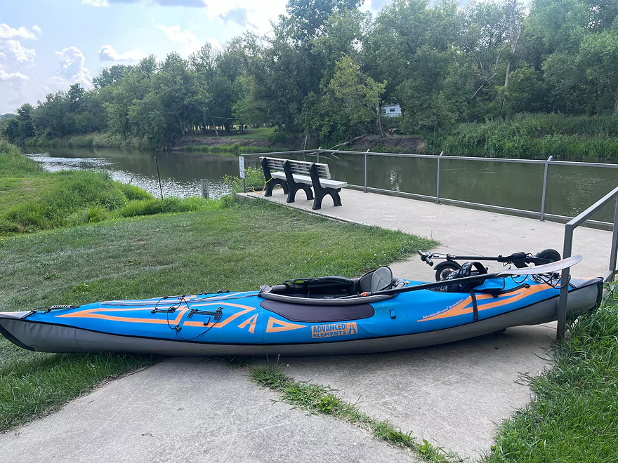
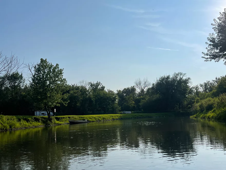
Put-in at River St in Argyle
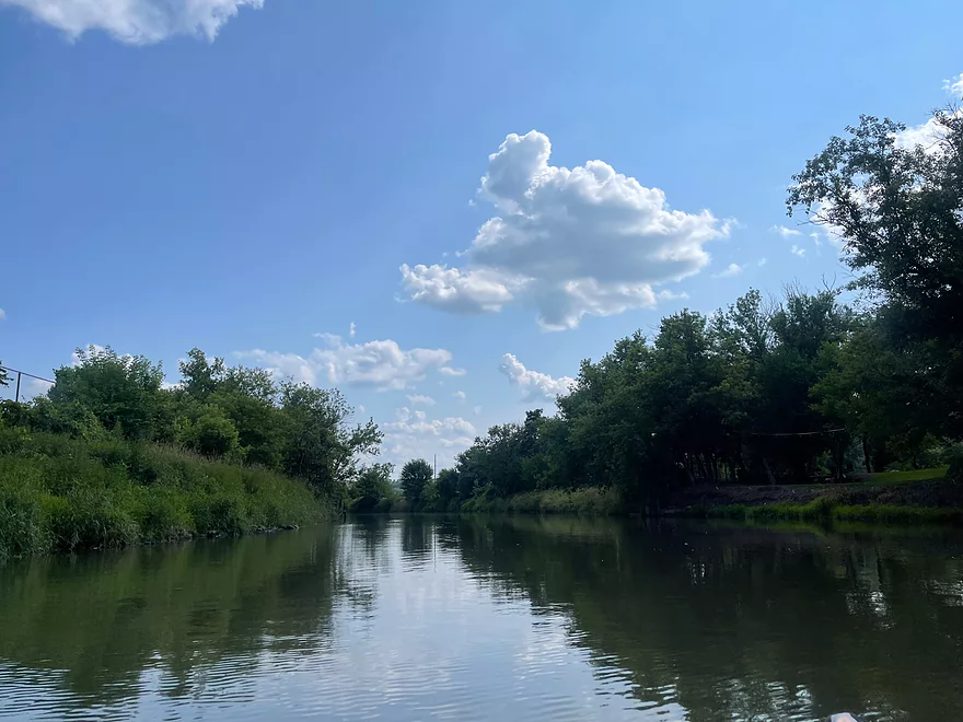
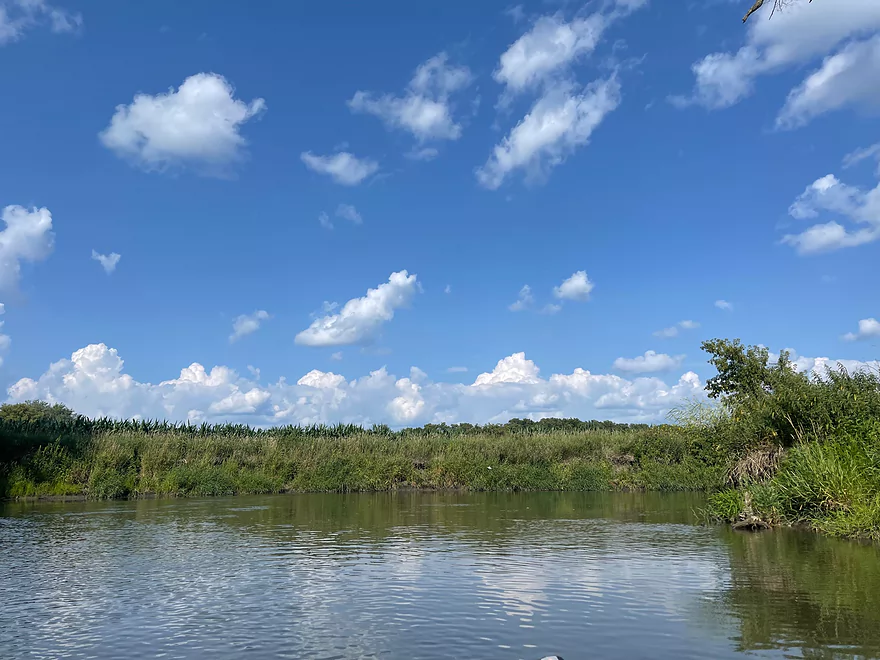
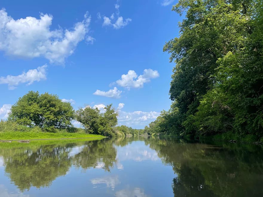
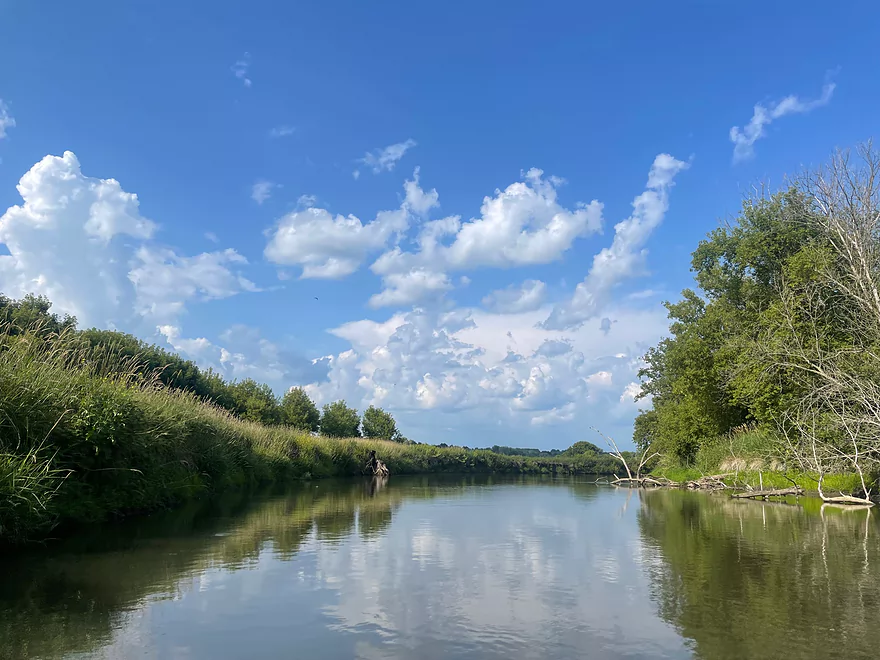
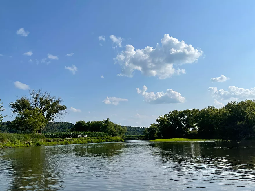
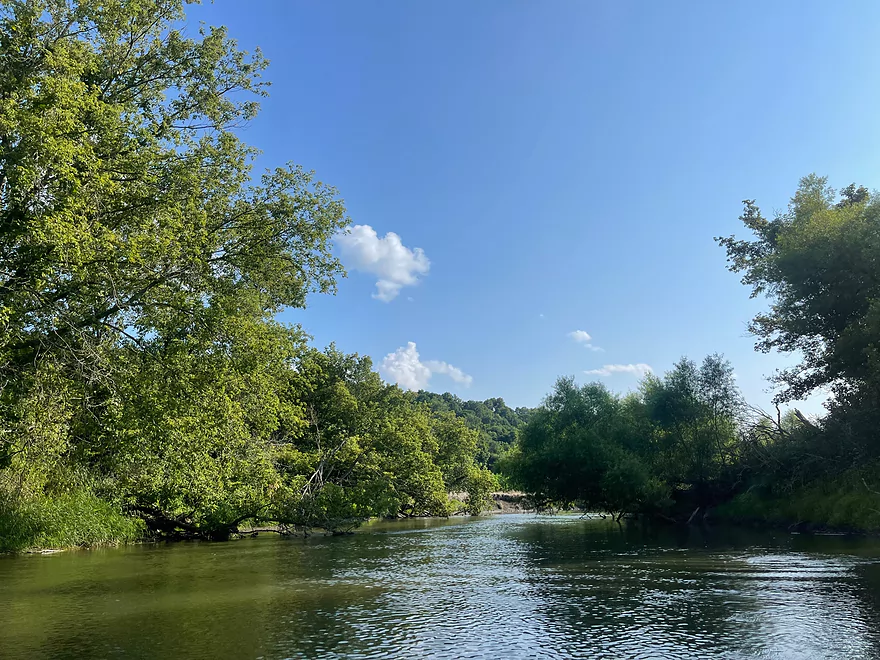
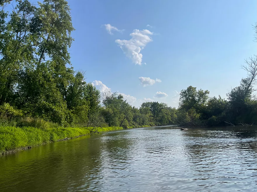
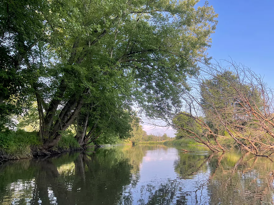
First view after launching
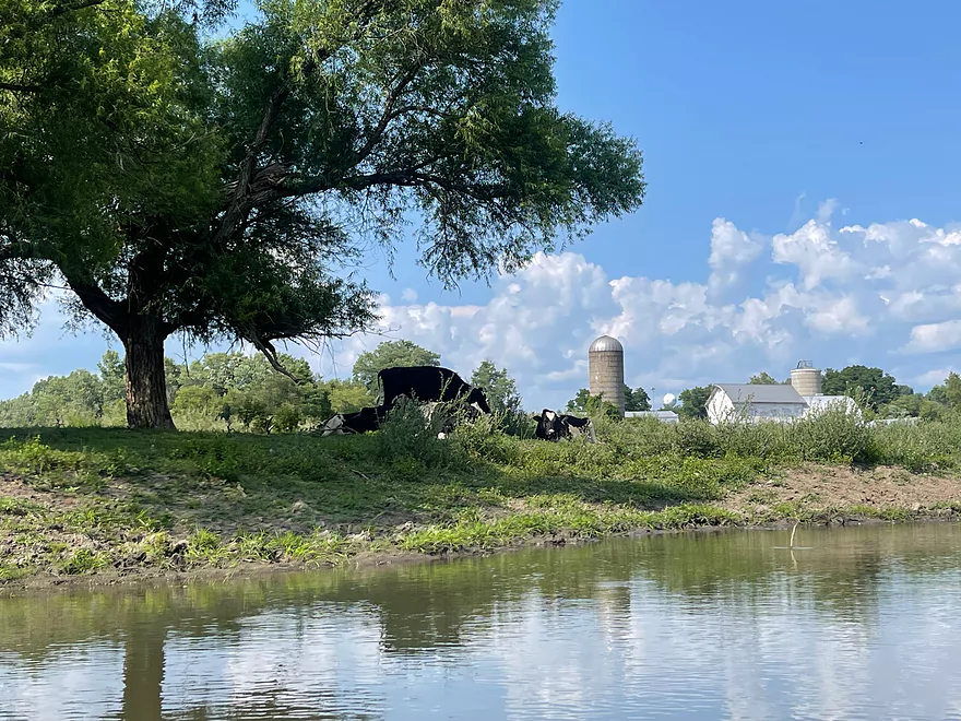
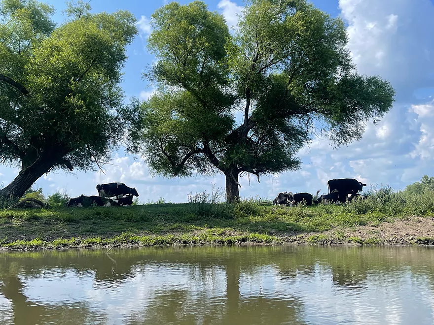
Cows
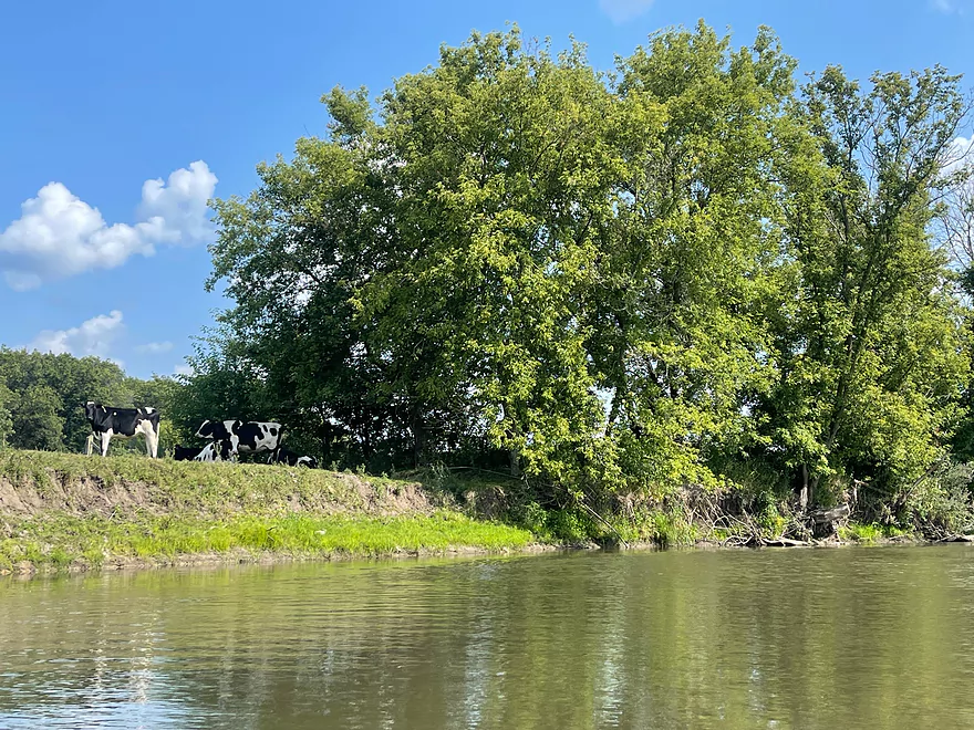
More cows
A hidden sign with a 2 signals the halfway point of a former tubing route
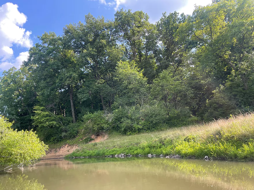
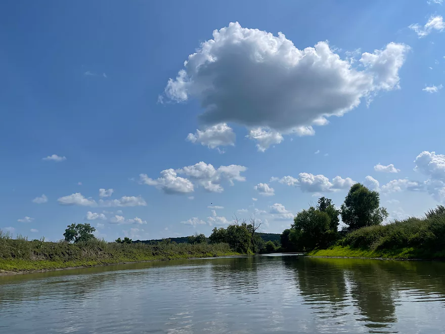
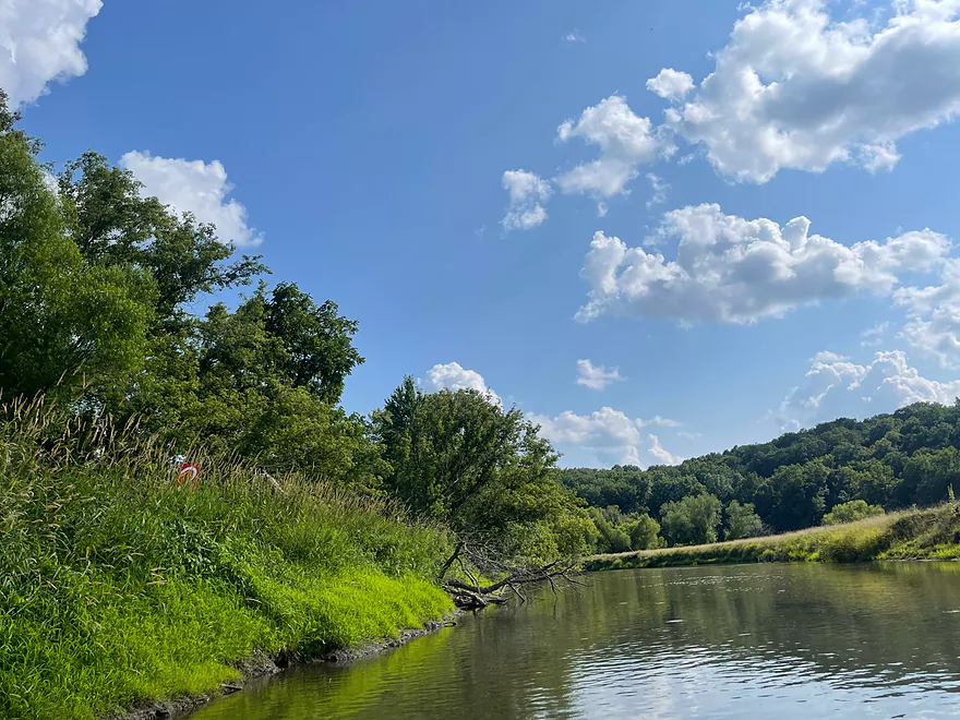
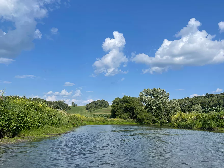
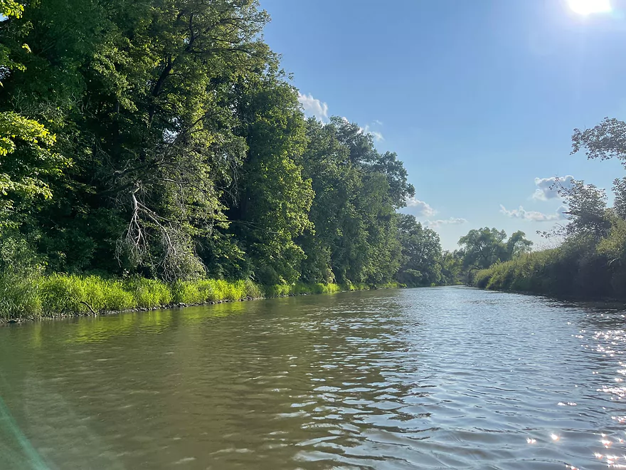
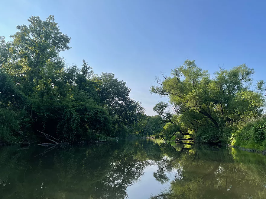
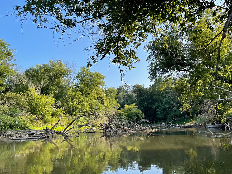
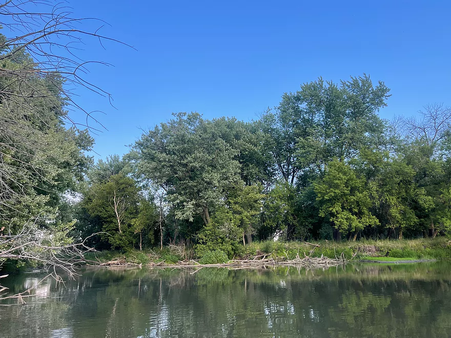
Start of bluff segment
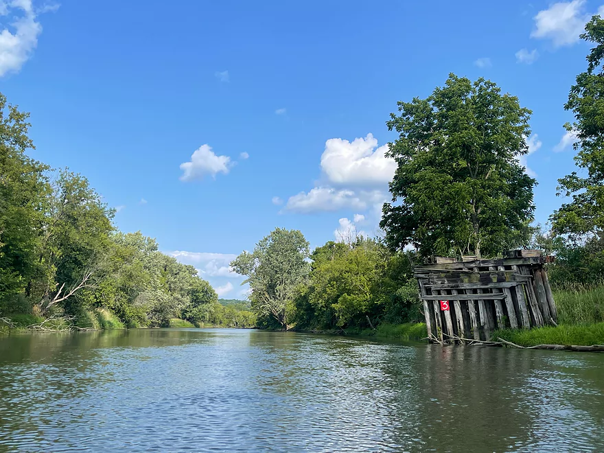
3/4 mark of the former tubing trip and old bridge abutment
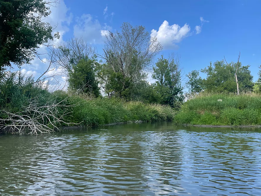
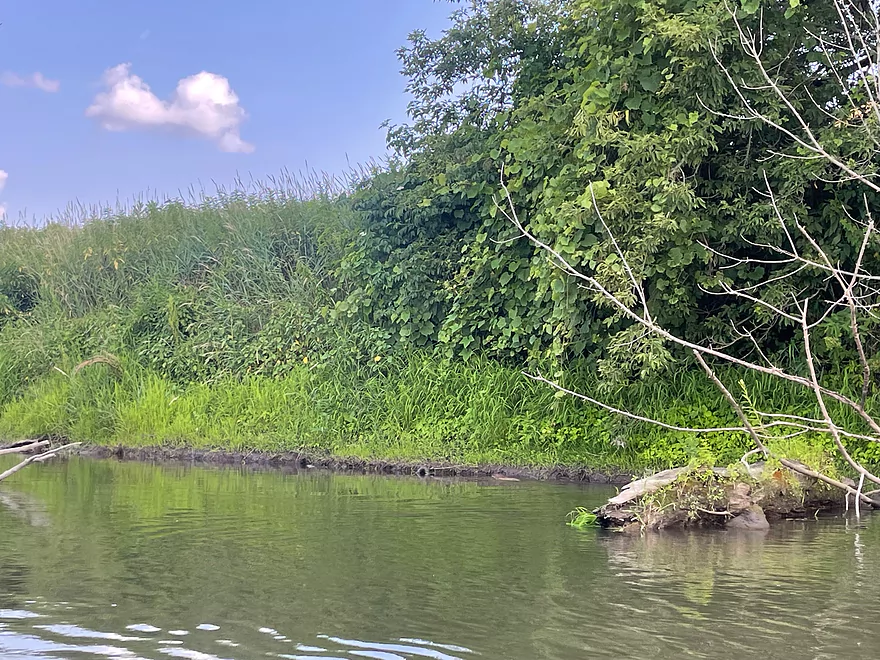
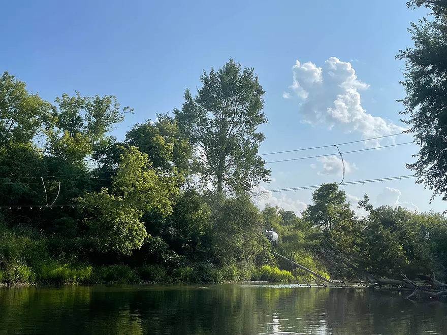
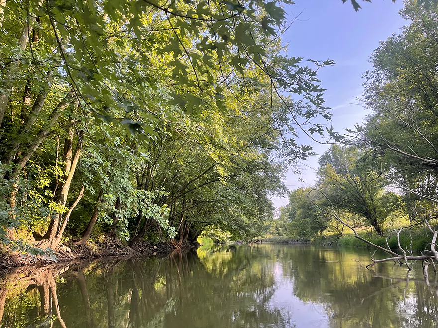
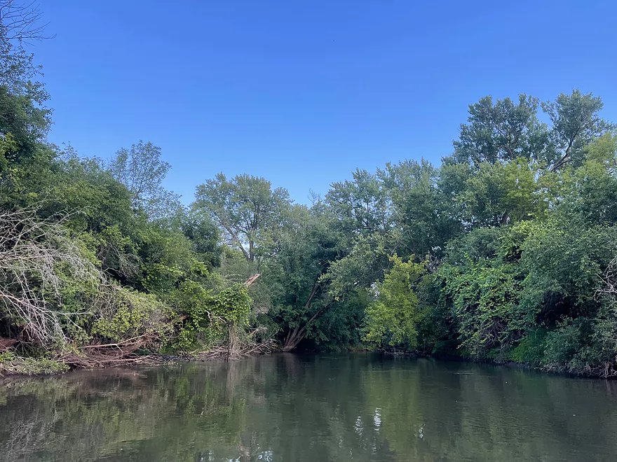
Creek inflow
The former Pec Time Tubing landing
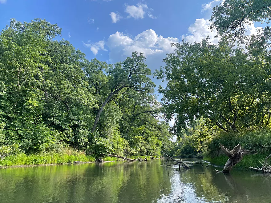
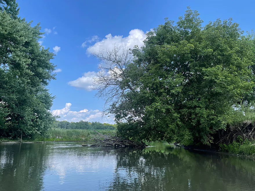
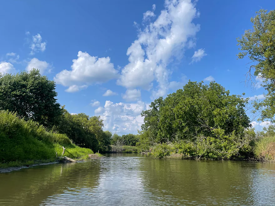
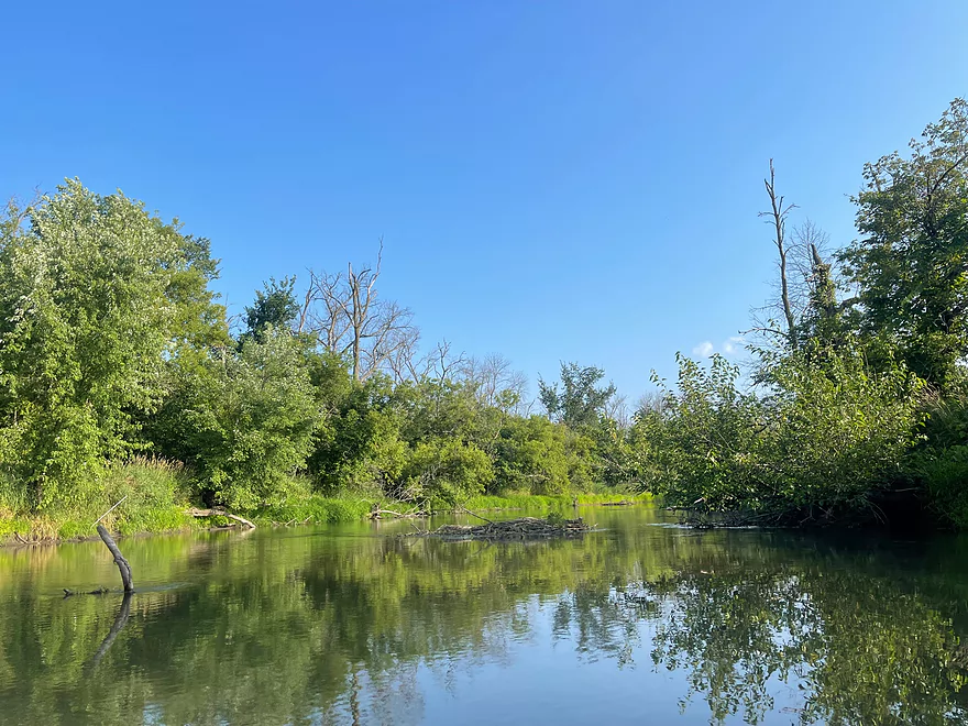
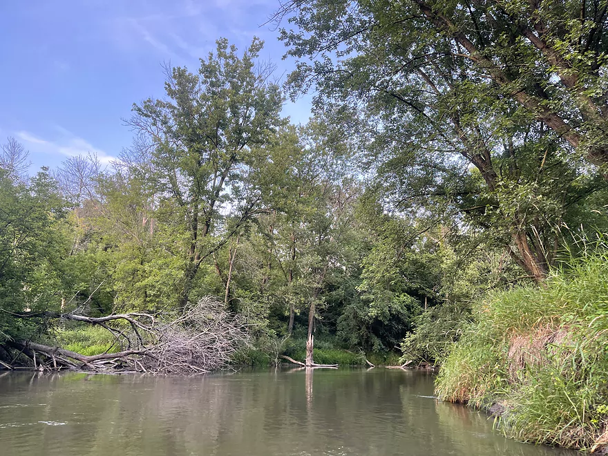
Deadfall but can be paddled around
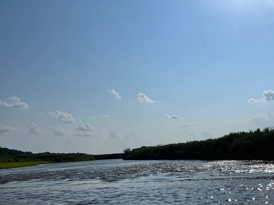
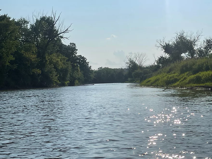
Surprise rapids
Looking upstream of the rapids
Wire monkey bridge
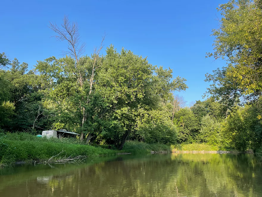
Start of Blackhawk Memorial Campground
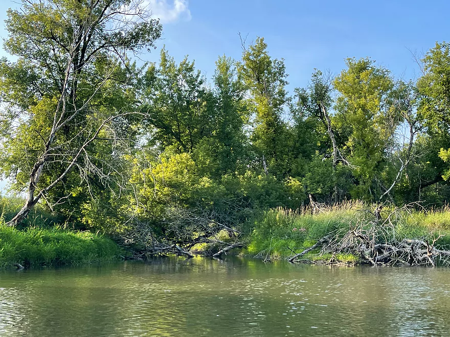
Most deadfall on the trip but can be paddled around
Another campsite
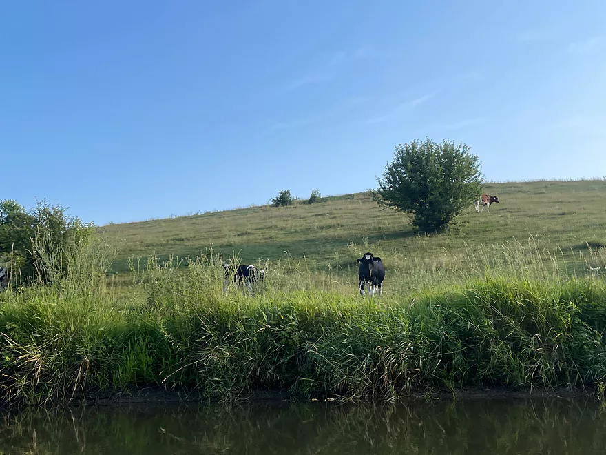
More cows
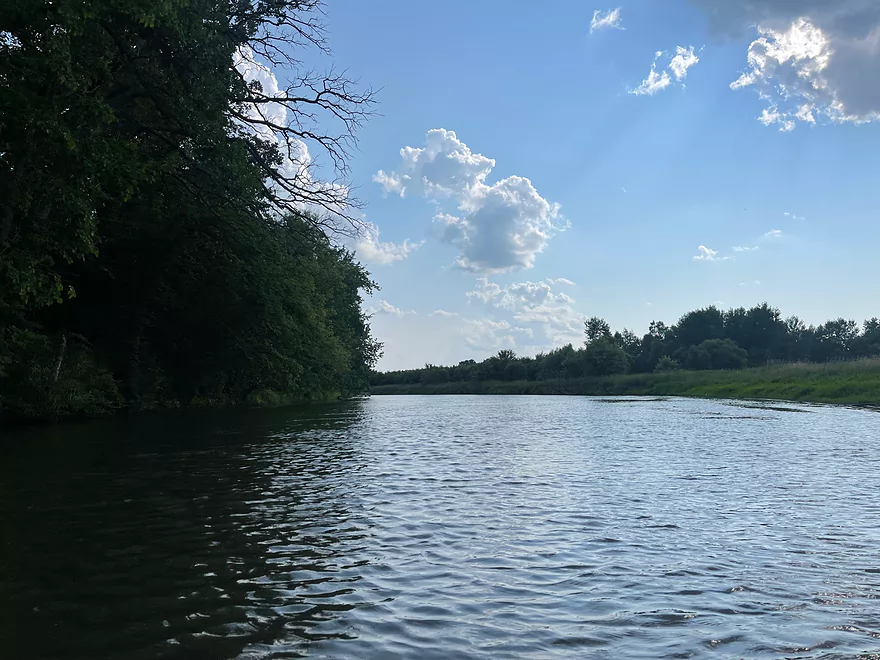
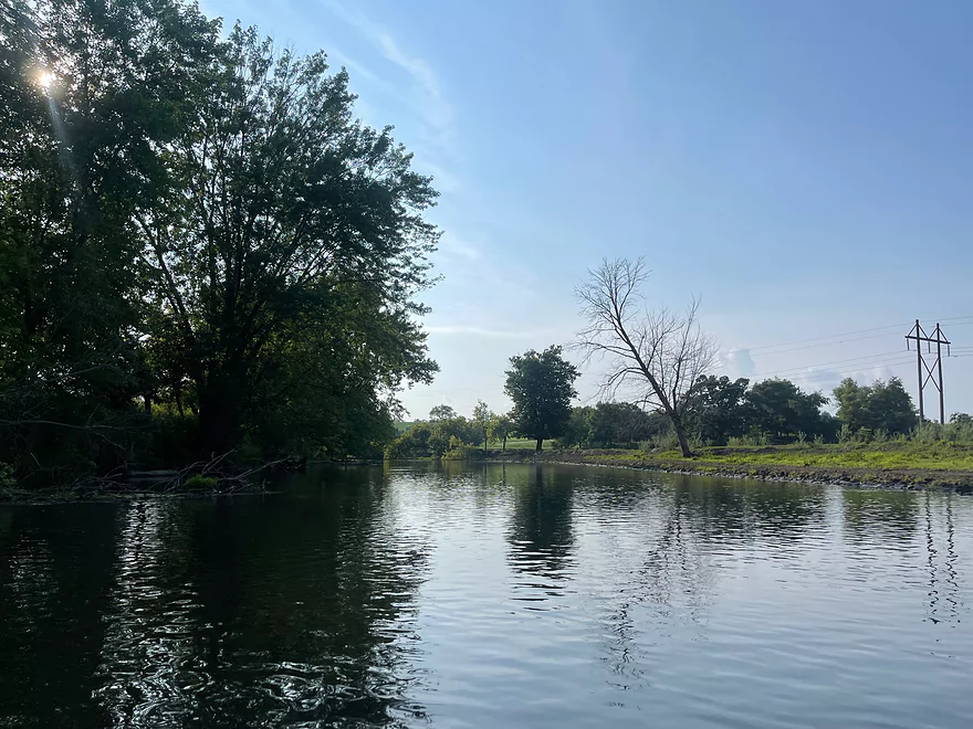
Stagnant water after leaving Blackhawk Memorial Campground
Island. Keep left to reach the landing in Woodford.
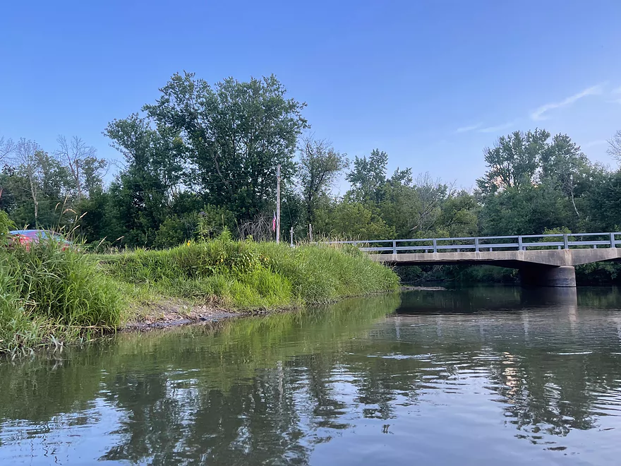
Take-out at Hwy M in Woodford
Pecatonica River – East Branch – Blackhawk

This segment of the Pecatonica River travels through lots of farmland where there are multiple places to see cows and farm fields. The first segment was part of a tubing trip run by Pec Time Tubing, which closed at the end of last year. The latter part of the trip passes through Blackhawk Memorial Campground, a campground and park where the Battle of Horseshoe Bend took place in 1832 between a frontier Militia and Native Americans. The park is maintained by Lafayette County.
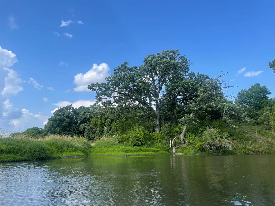
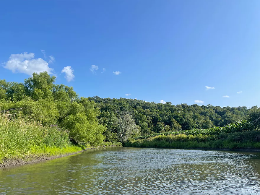
The trip starts through farm fields and cow pastures with many cows visible along the banks. After a turn east, there is a large bluff lined with trees.
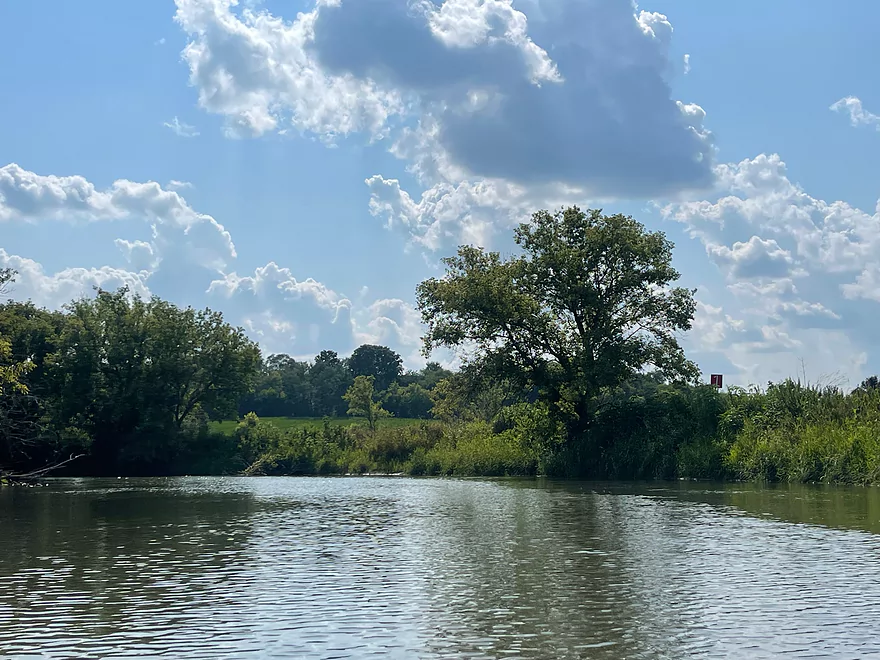
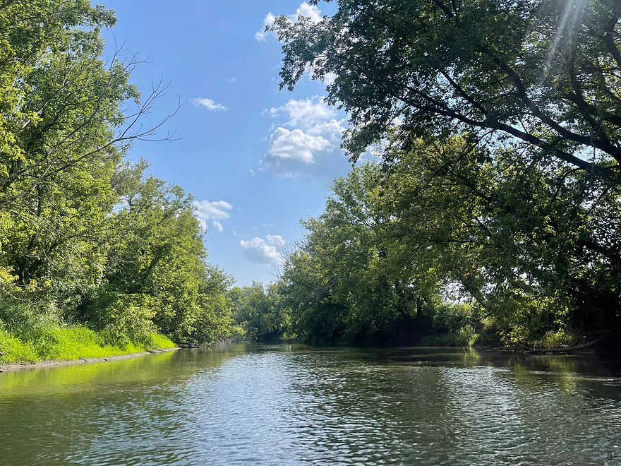
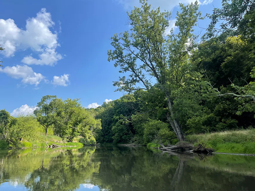
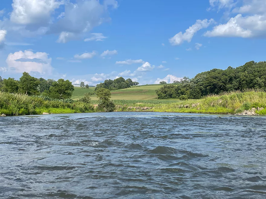
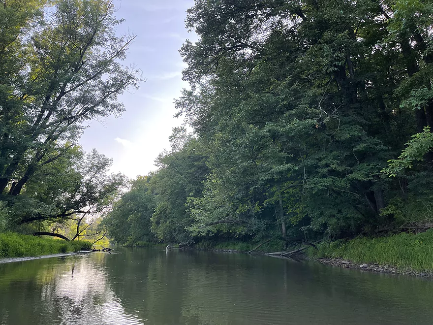
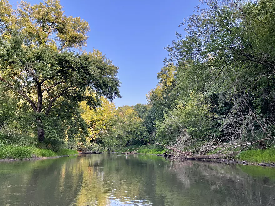
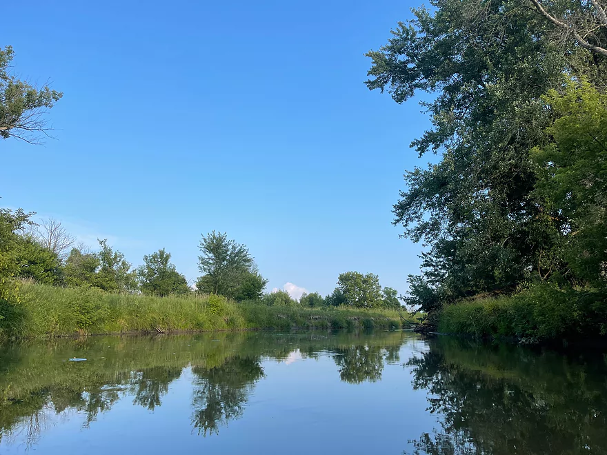
After a couple miles, the river then flows through fields with no trees lining the riverbanks. There are surprise rapids which are very mild. After a couple miles, there is a mix of trees and fields.
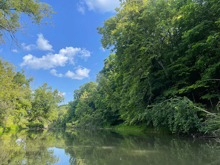
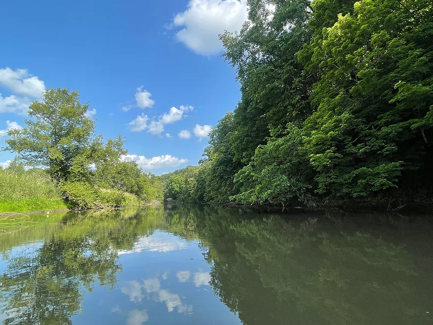
Forests line both sides of the river when approaching Blackhawk Memorial Campground. The park is fairly big with two boat ramps and many campsites along the river. After leaving the park, the river becomes stagnant and passes through more fields until reaching an island. At the split, keep left to reach the Woodford landing.
Overall, the scenery isn’t eye-popping, but it is a great paddle in times of low water since the river always maintains a good depth. The Blackhawk Campground is an excellent place to camp for anyone interested in camping with a tent or camper.
Thanks Peter for the review! WisconsinRiverTrips.com is always very appreciative of guest reviews, and if you the reader is ever interested in submitting one, you can use this online form.
Detailed Overview
- Upstream of Hwy HK: Too many logjams to recommend.
- Hwy HK to Burma Road: 1.3 miles. An ok prospect with perhaps some obstructions.
- Burma Road to Star Valley Road1st: 2.0 miles. An interesting prospect with good scenery and not too many logjams.
- Star Valley Road1st to Hwy 39: 3.1 miles. Good scenery potential but too congested.
- Hwy 39 to Horseshoe Bend Road: 7.6 miles.
- Hwy 39 to McKenna Road: 3.9 miles. A pleasant section with a rock outcrop near the take-out.
- McKenna Road to Horseshoe Bend Road: 3.7 miles. Another pleasant section with a massive rock wall.
- Horseshoe Bend to Blanchardville Dam: 3.6 miles. This is a less interesting section of the East Branch that lacks the river's iconic outcrops. It's not bad though, and may appeal to locals who want to paddle through Blanchardville. But most other kayakers will prefer other stretches of the river.
- Blanchardville Dam to Hwy 78: 3.9 miles.
- Blanchardville Dam to Gordon Creek Landing: 0.3 miles. A short, but pleasant stretch through the outskirts of Blanchardville.
- Gordon Creek Landing to Hwy 78: 3.5 miles. While not bad, this is one of the less interesting stretches.
- Hwy 78 to River Road: 6.4 miles. A pleasant stretch with open scenery, Driftless Area hills, and a handful of rock outcrops. On the downside some parts are a bit boring and open pasture has degraded some of the river.
- River Road to Argyle Boat Launch: 7.4 miles. A good stretch with impressive outcrops.
- River Street in Argyle to Hwy M in Woodford: 9.3 miles.
- Argyle River Street to Blackhawk Memorial Park: 8.3 miles. No outcrops and a lot of farm scenery. Not as nice as previous sections but still decent.
- Blackhawk Memorial Park to Hwy M: 1.0 miles. Section includes a very large island. You must take the east channel to reach the access on M.
- Hwy M to Cisserville Road: 6.4 miles. Probably uninteresting.
- Cisserville Road to Mouth: 2.2 miles. Probably a weak prospect.
- Mouth to Hwy 11: 3.2 miles. A leg on the Pecatonica River (main branch) to reach a take-out.
Trip Map
Overview Map
Photos Size: