
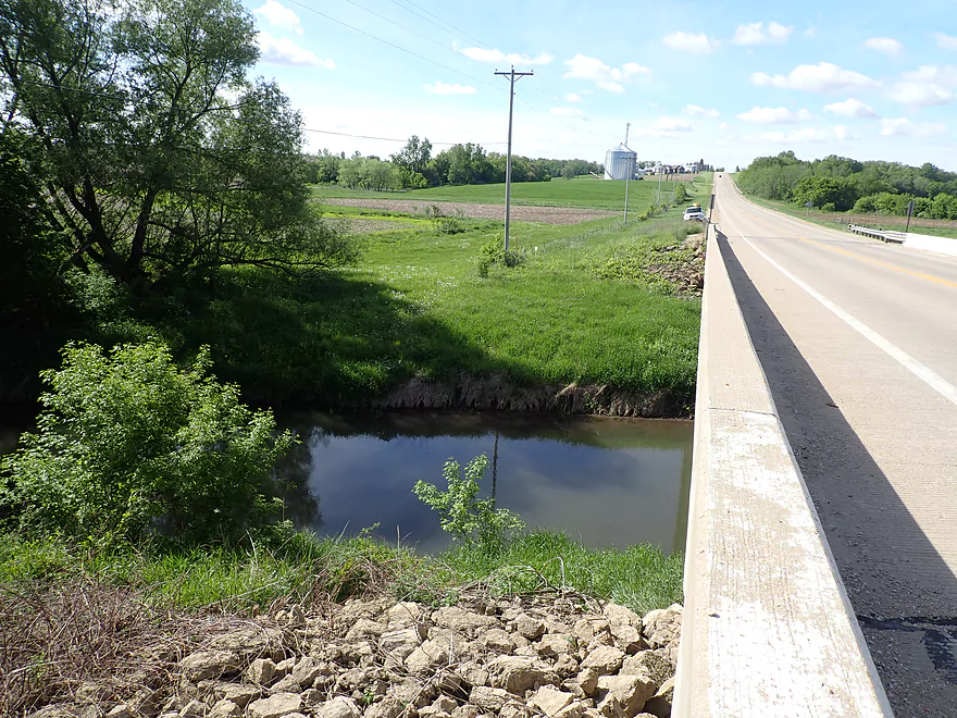
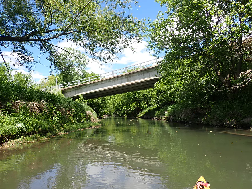
Putting in at Hwy 23
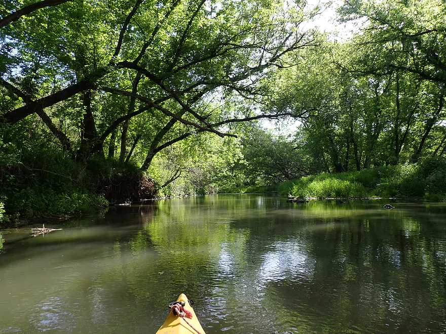
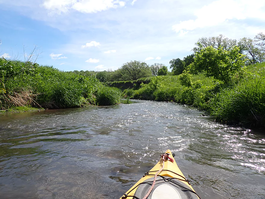
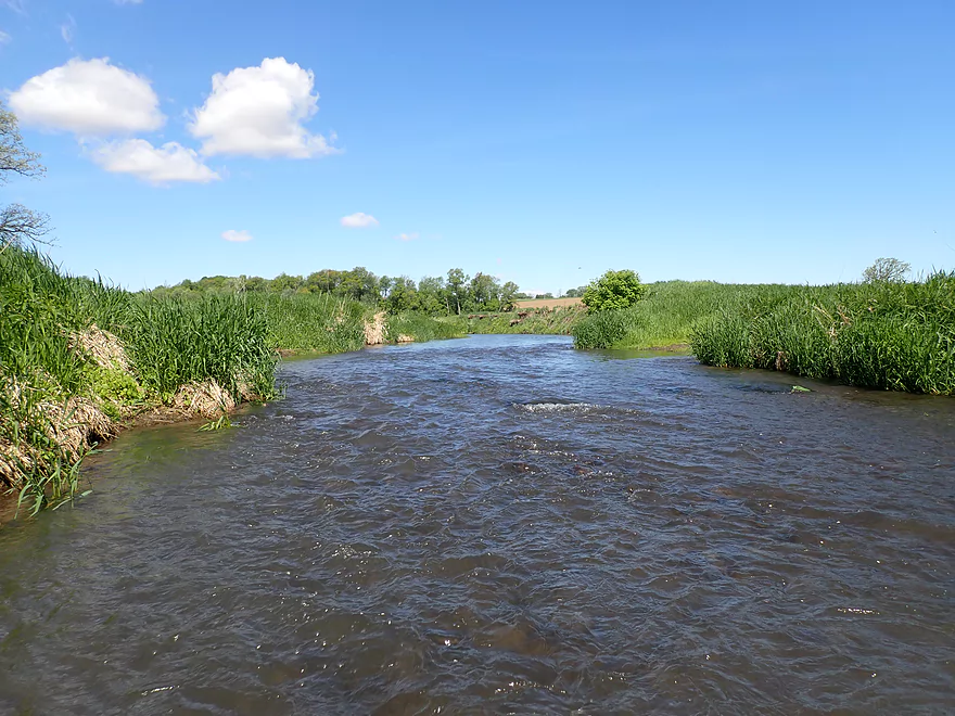
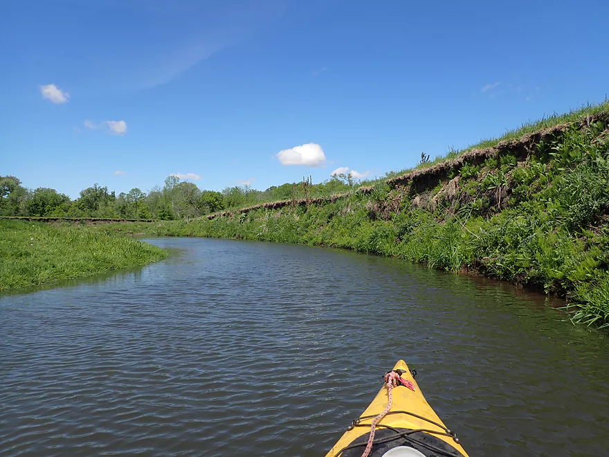
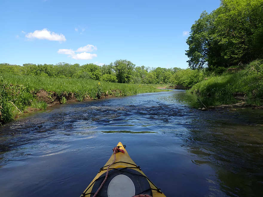
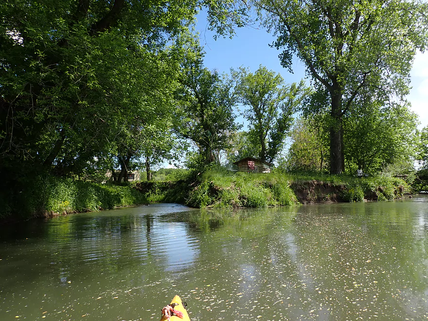
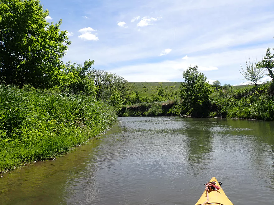
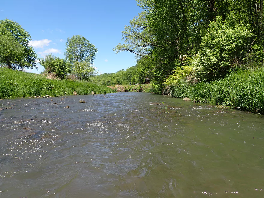
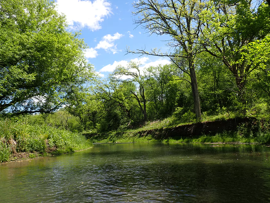
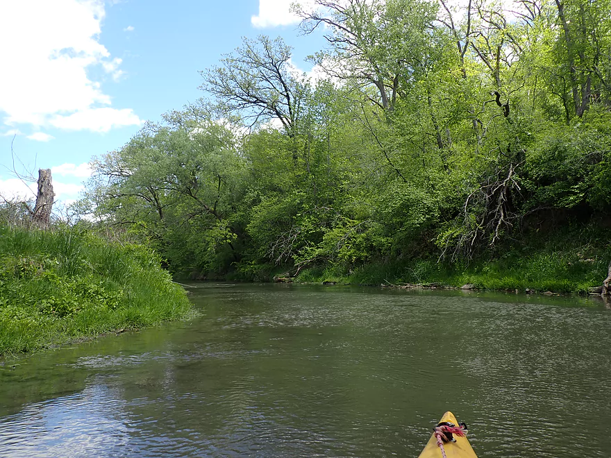
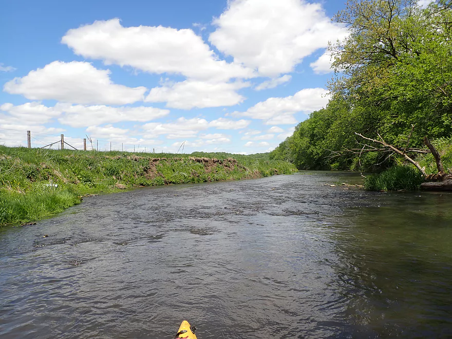
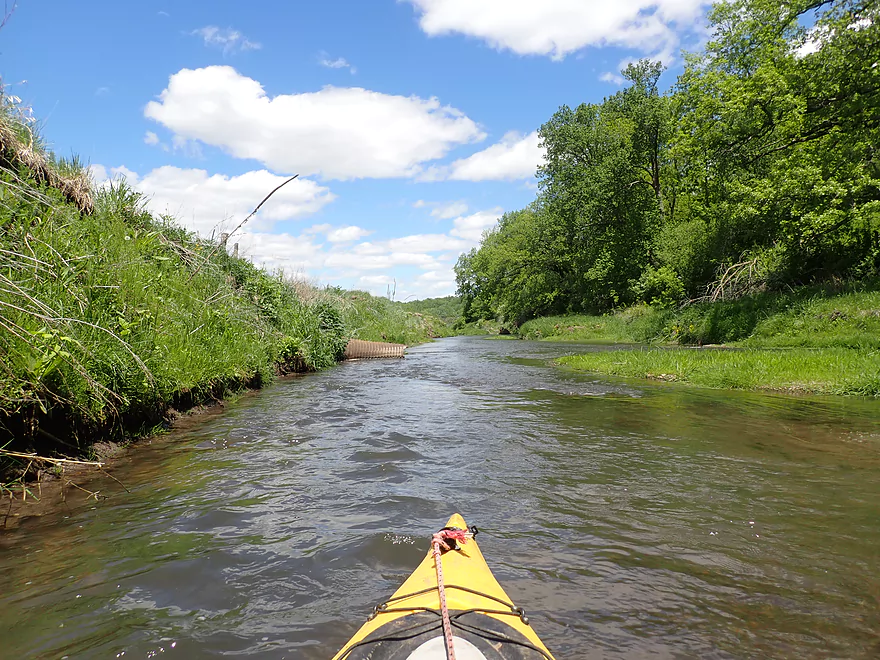
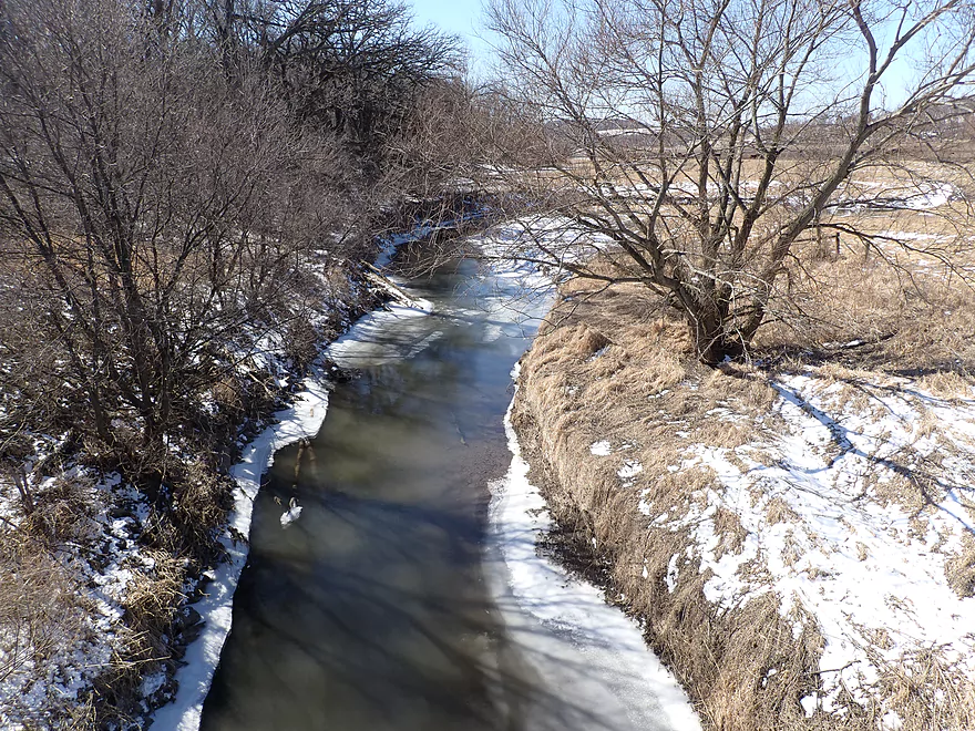
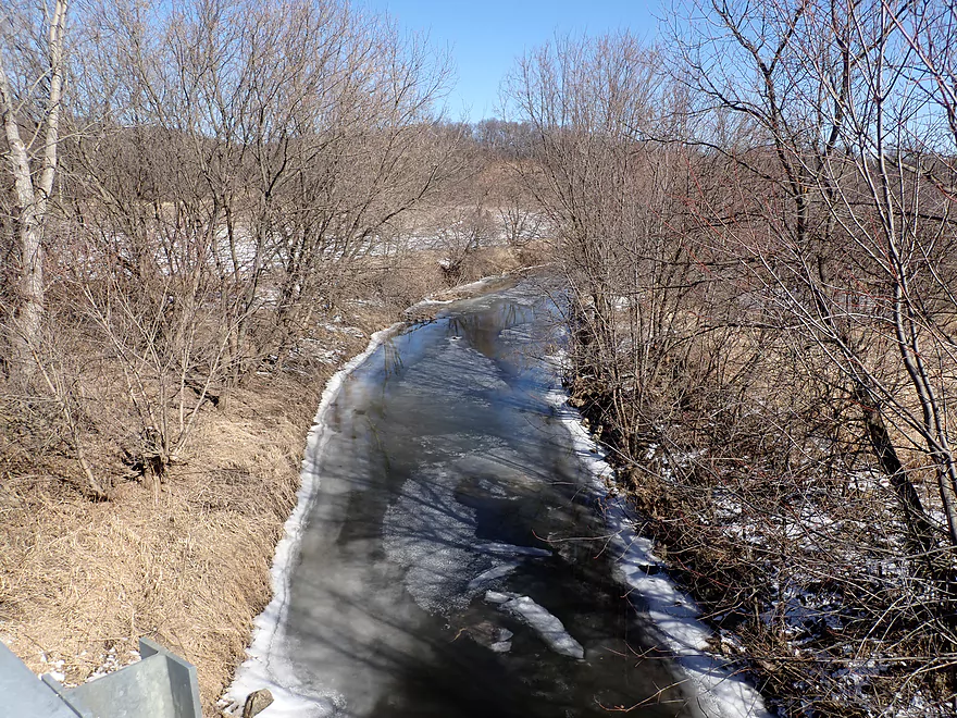
Nice view upstream
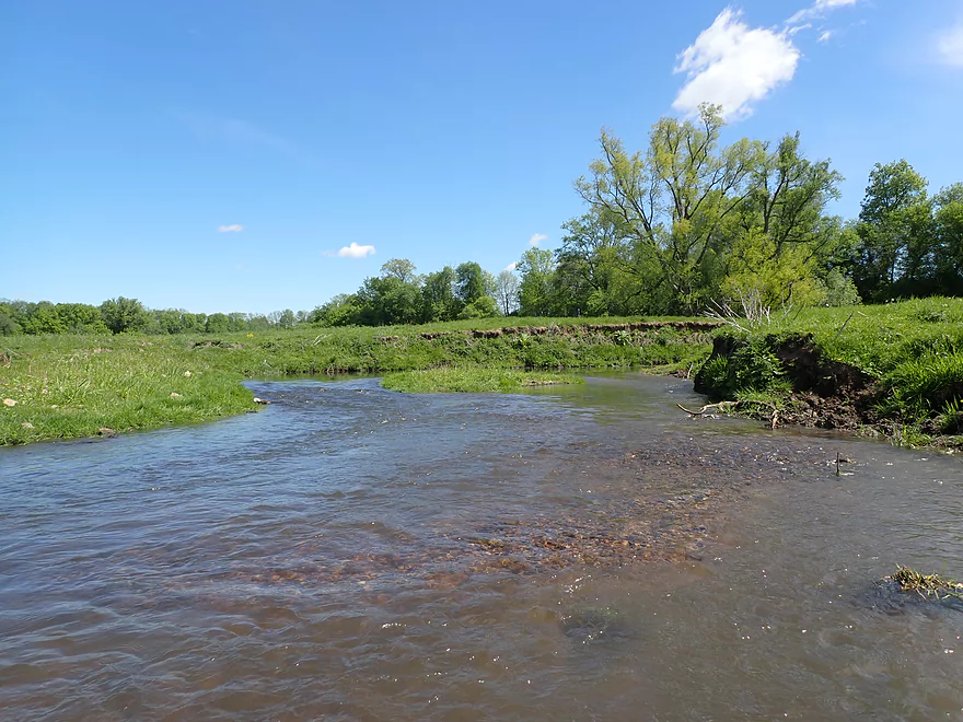
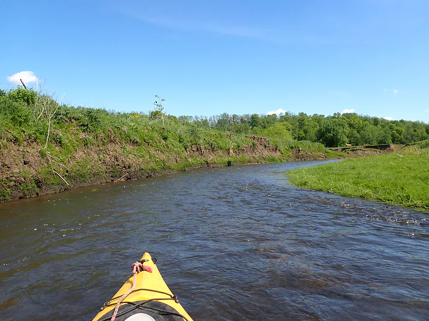
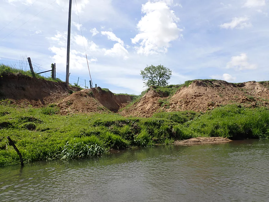
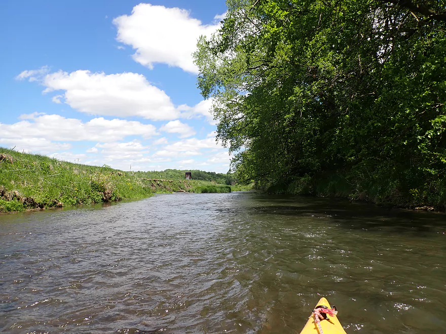
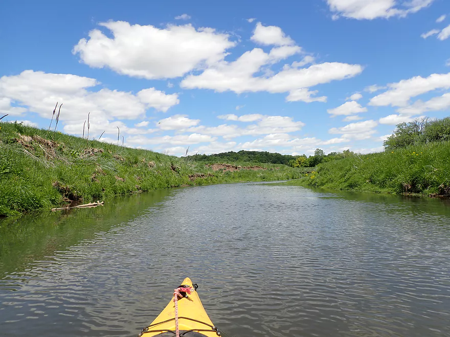
Same view but in March
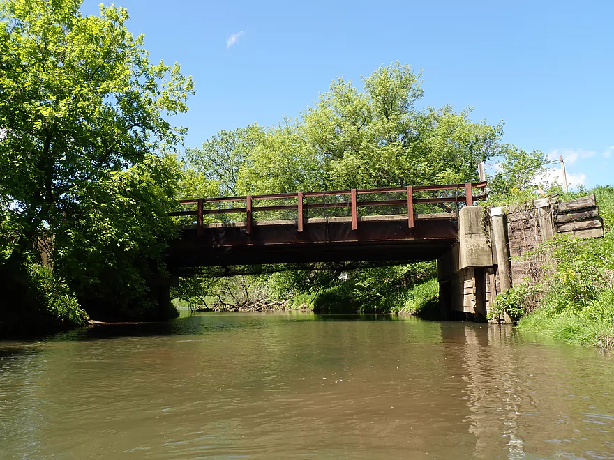
Best launch spot is directly under the bridge
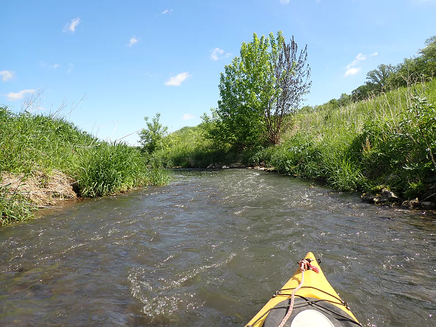
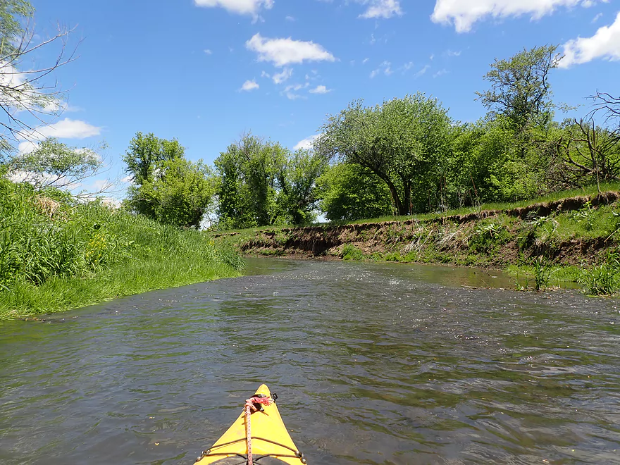
A wooded stretch to start
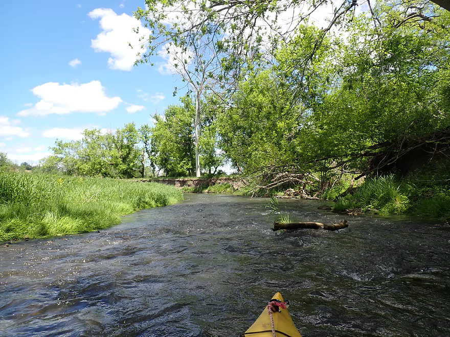
A number of light riffles
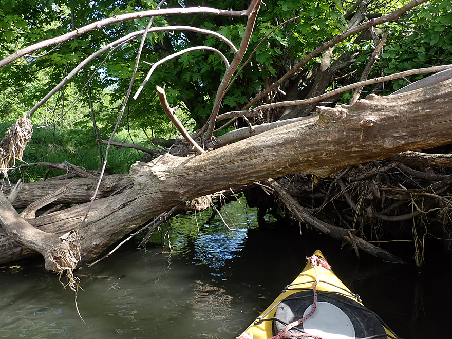
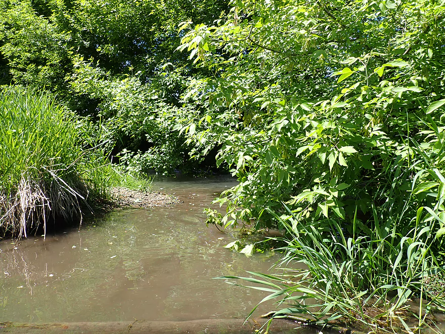
I barely squeaked under this logjam
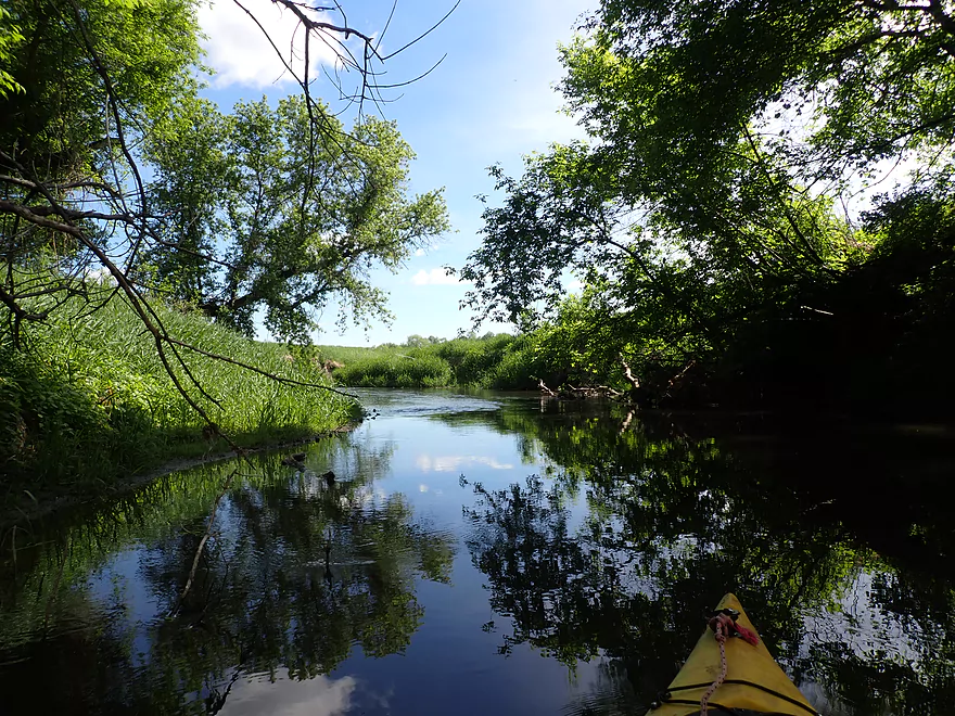
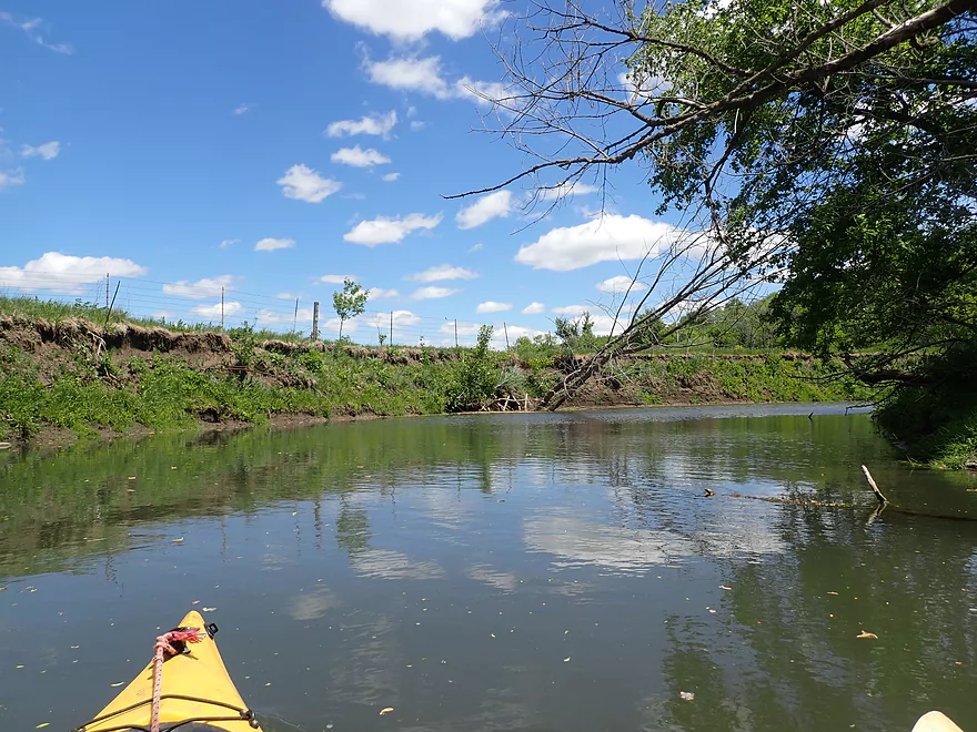
Nice reflections
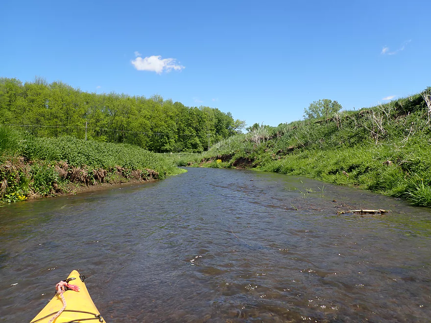
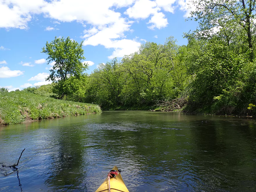
River starts to open up
These “rapids” were very shallow
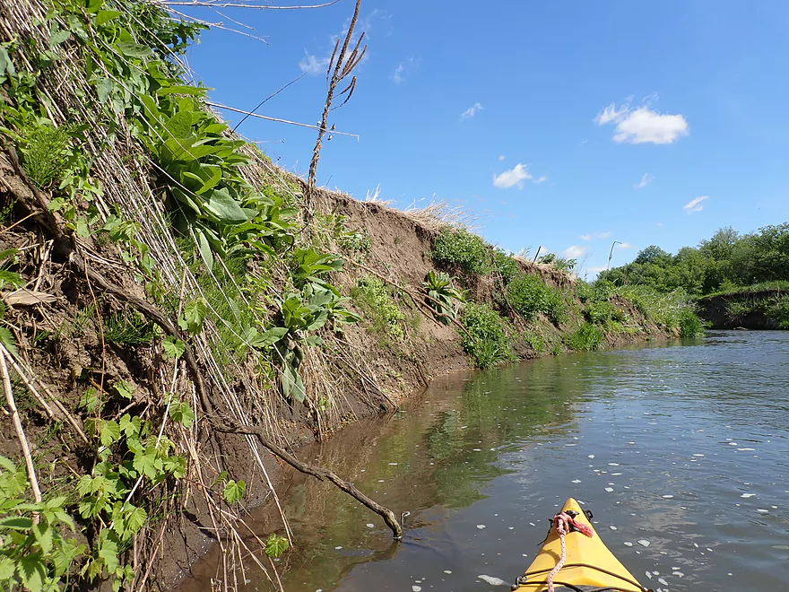
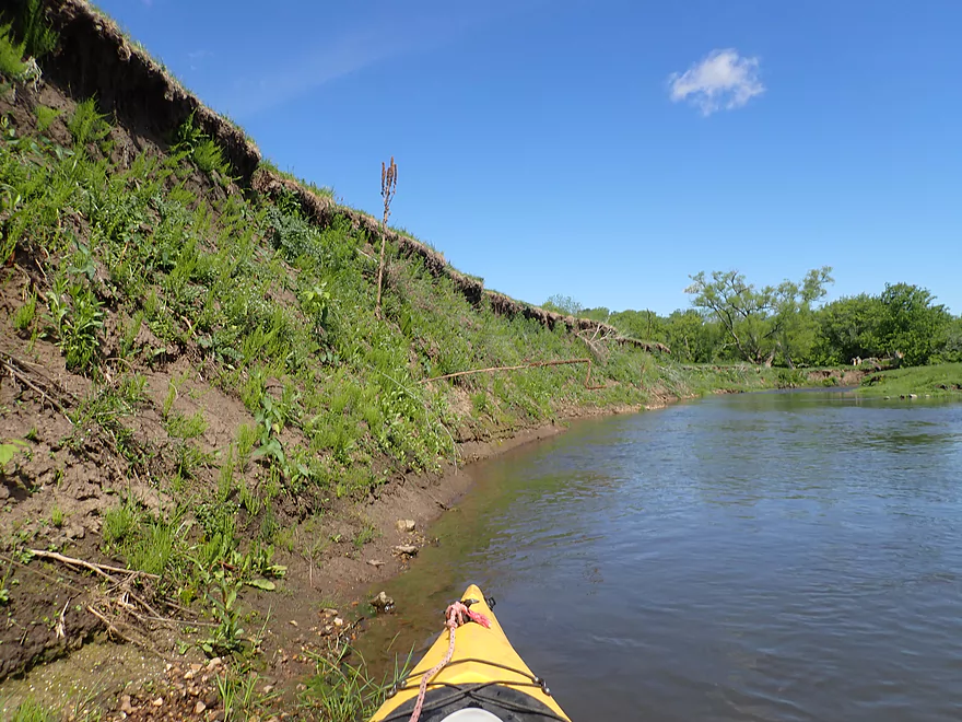
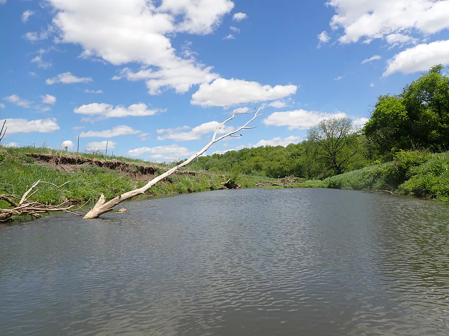
Almost vertical mud banks
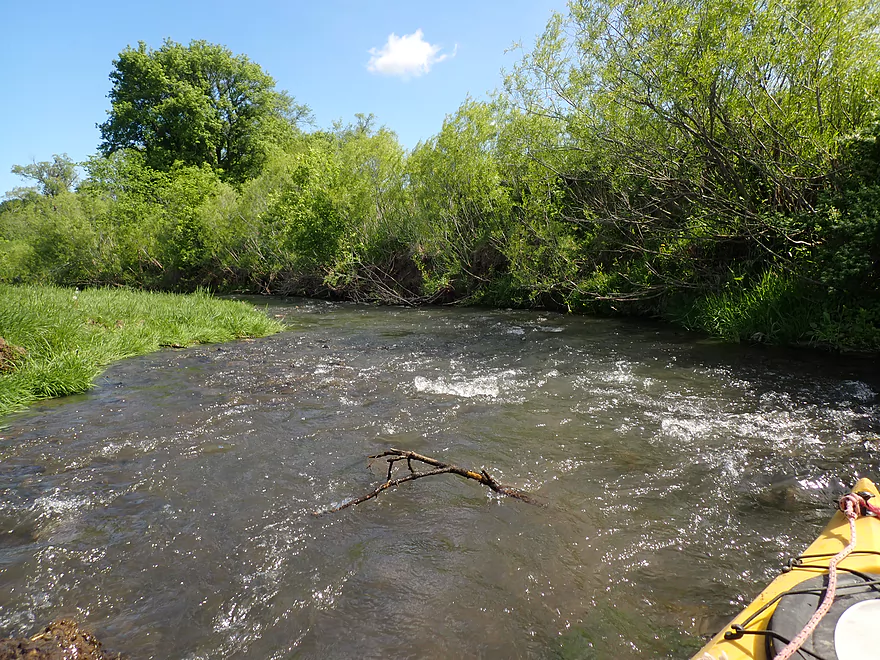
Minor strainers by the rapids
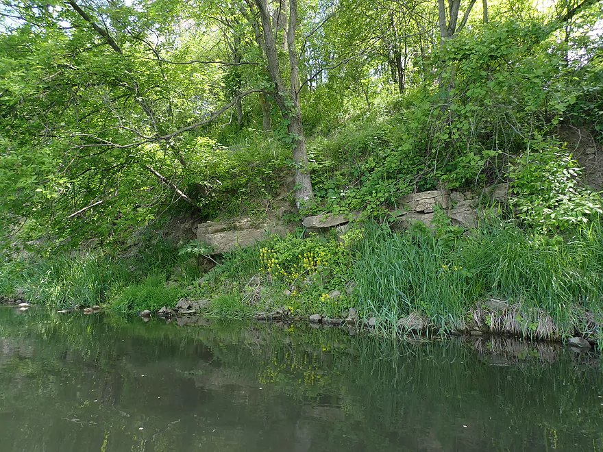
Only outcrop on the trip (kind of small)
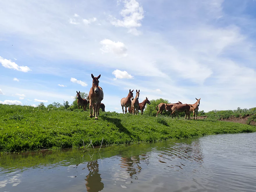
Large herd of mules
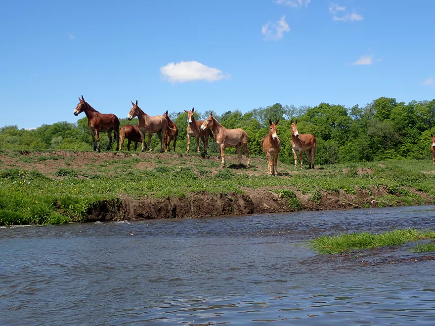
They followed me going downstream
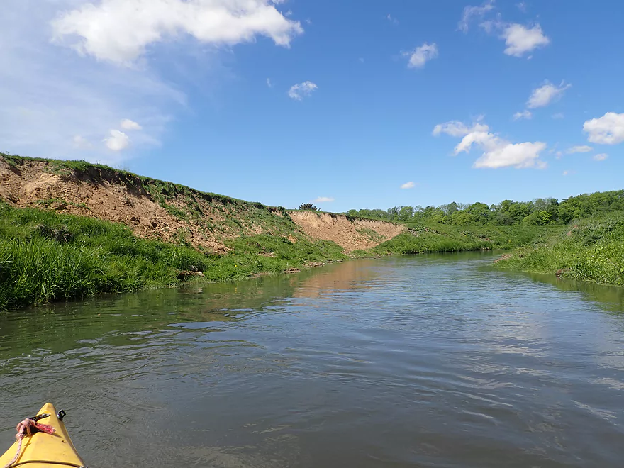
Bankside erosion here was bad
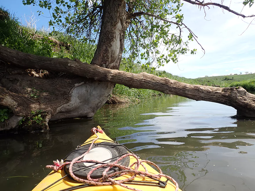
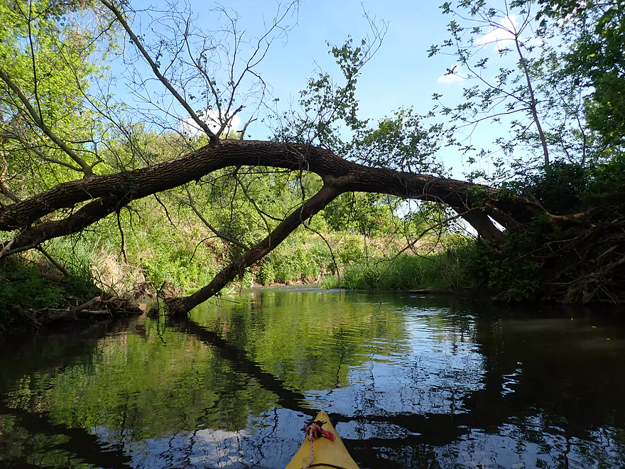
Another logjam…this was much easier to sneak under
Small creek joins the Ames Branch by a log cabin
Ames Road is an access option
This stretch has less pasture
Treeless hill in the distance
Big logjam with a tiny gap to the side
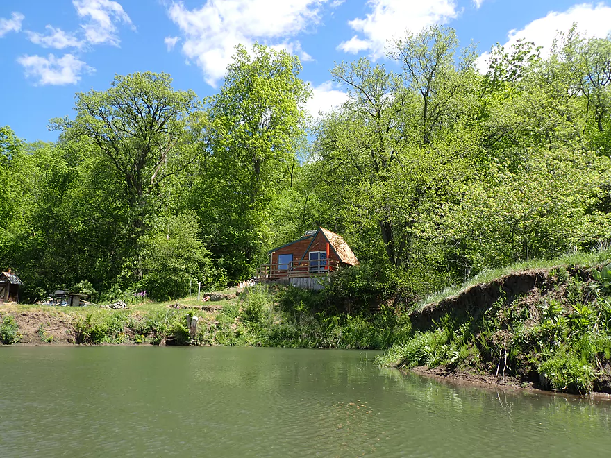
Another log cabin
This stretch reminded me of the Platte River
Only major fence…easy to duck under
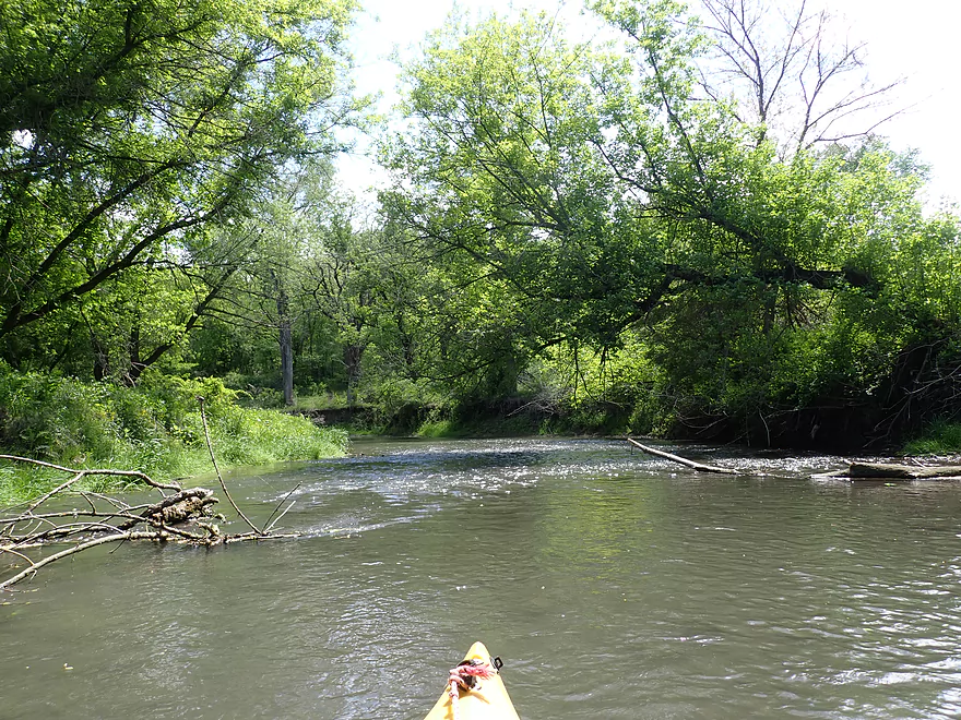
Entering another wooded stretch
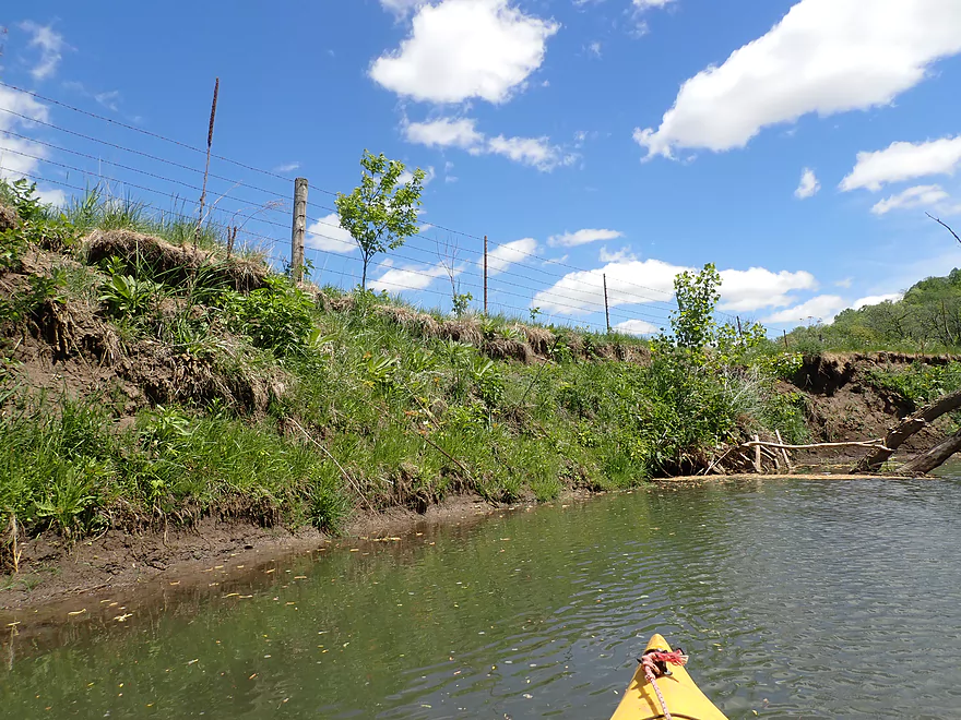
Fence precariously close to the banks
More shallow rapids
Great day for clouds
Shallowest part of the trip
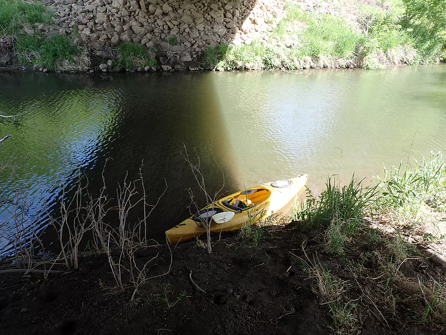
End of trip–Hwy K
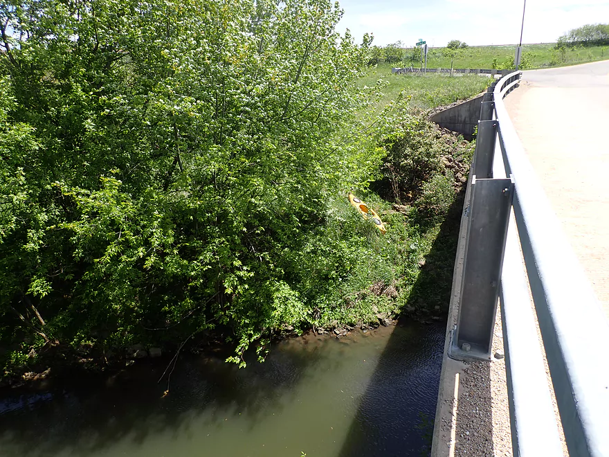
Steep take-out
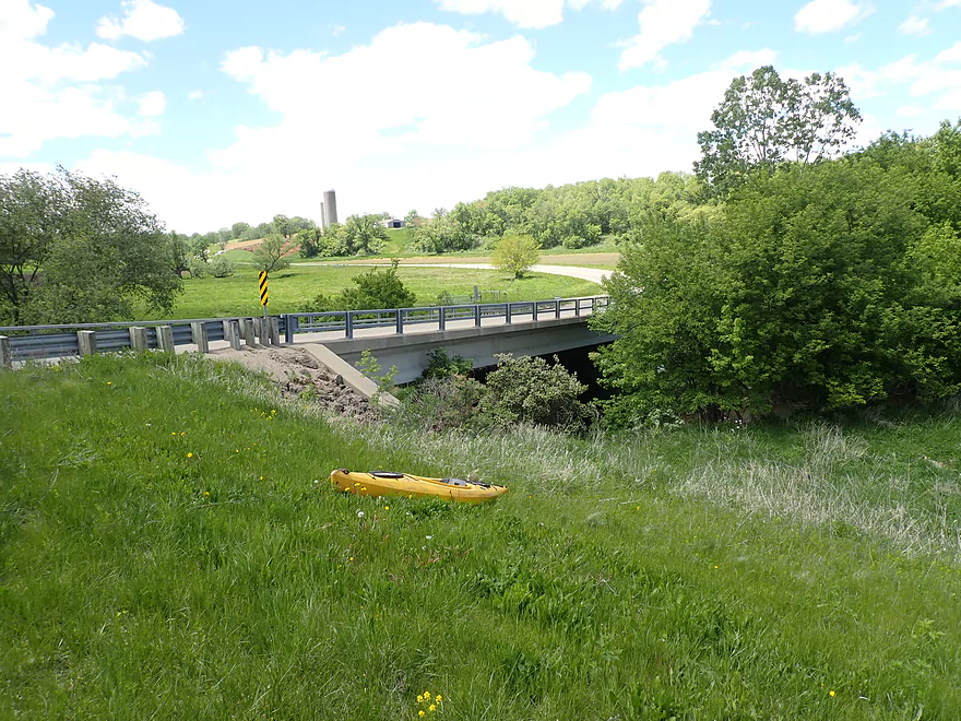
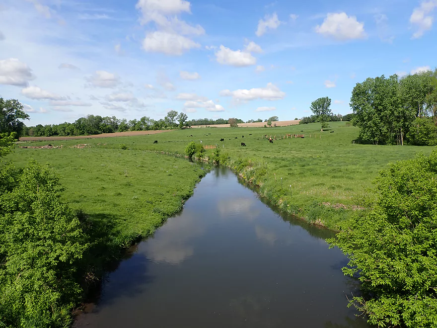
Best access is by Red Rock Road
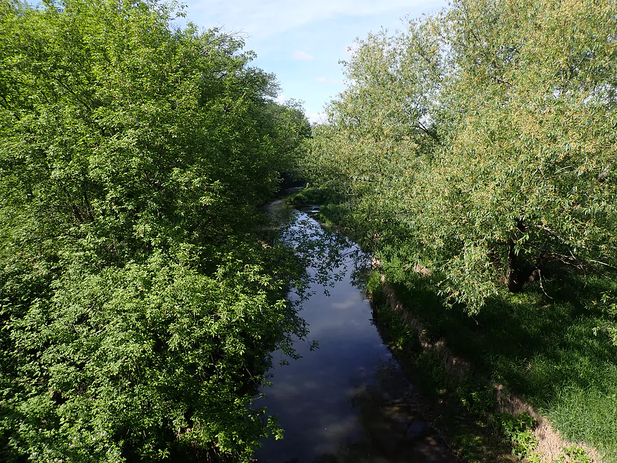
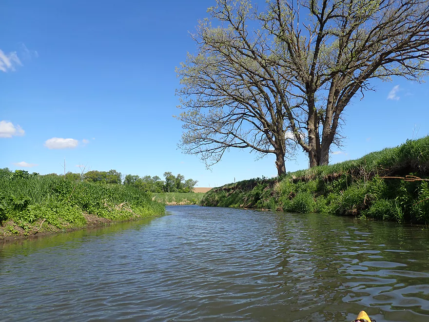
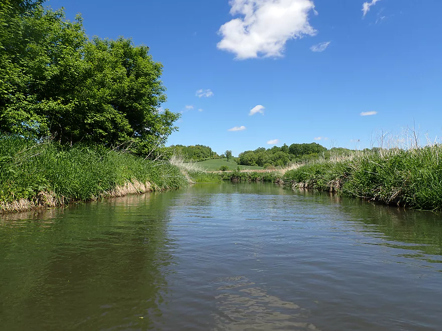
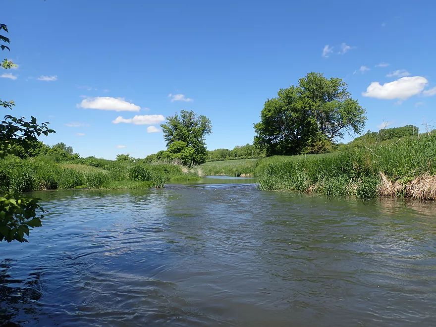
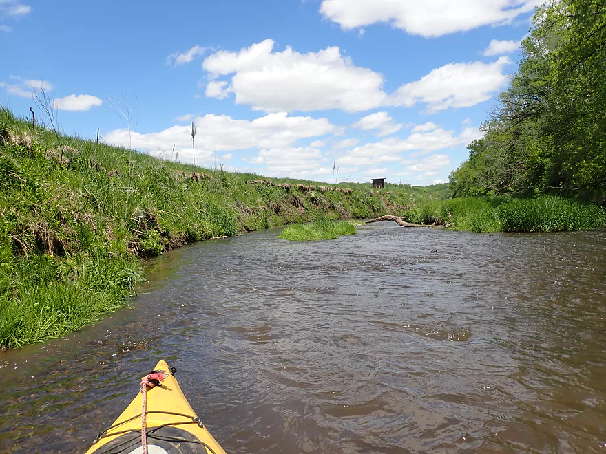
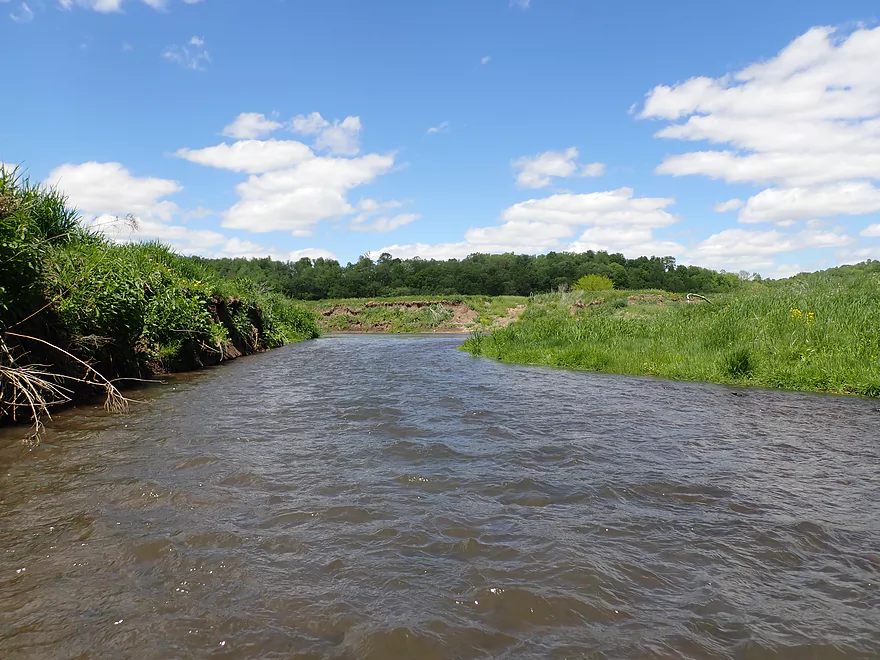
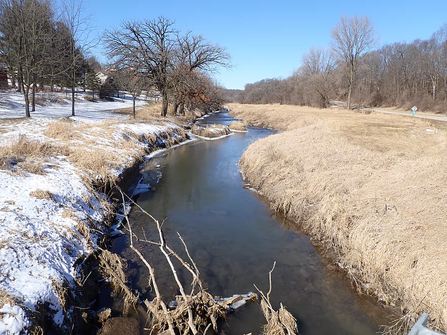
View upstream
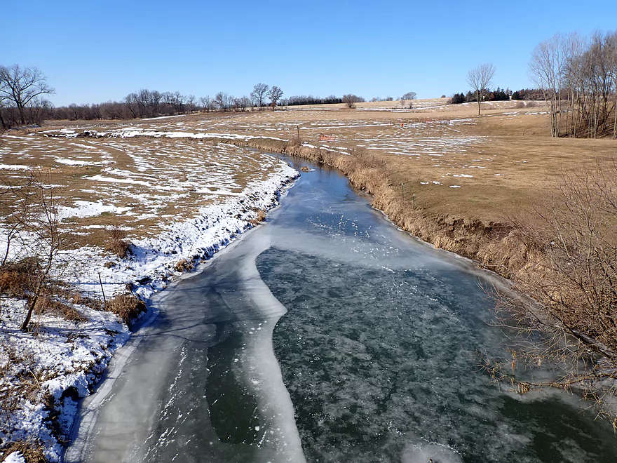
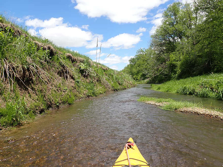
Same view but in March
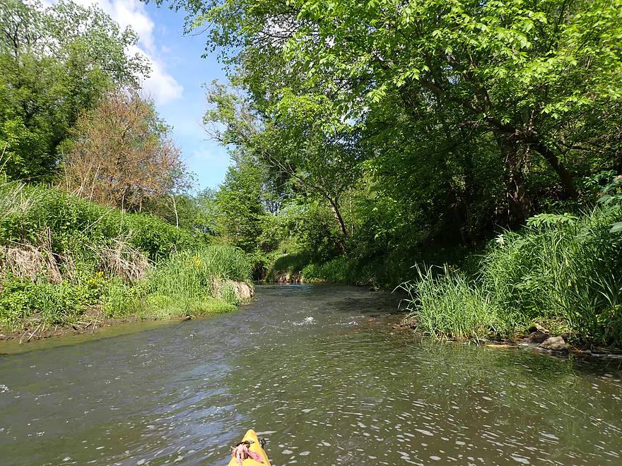
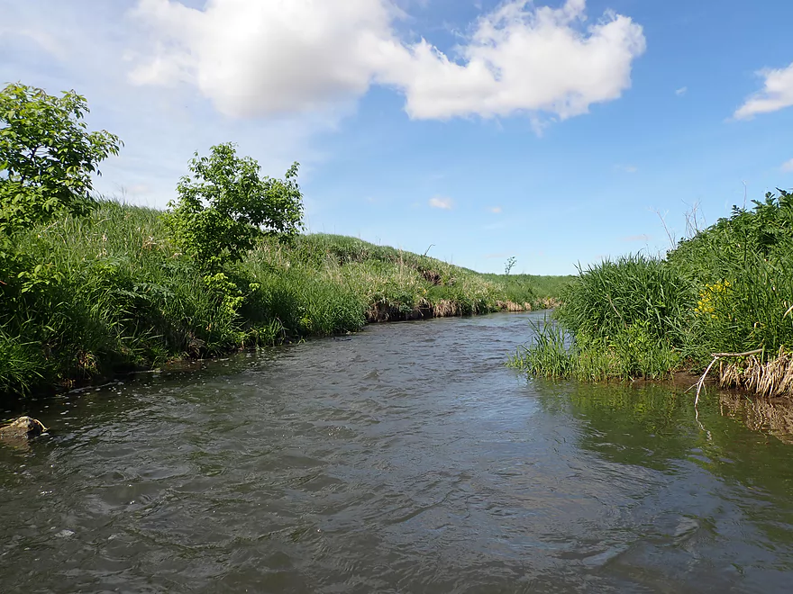
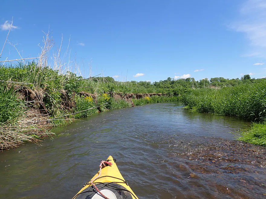
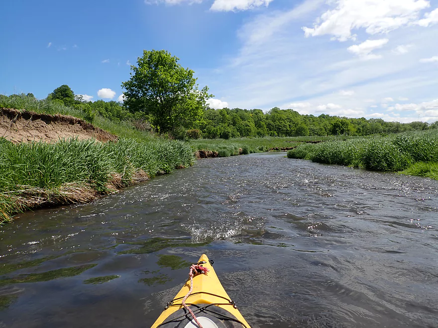
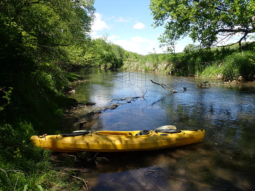
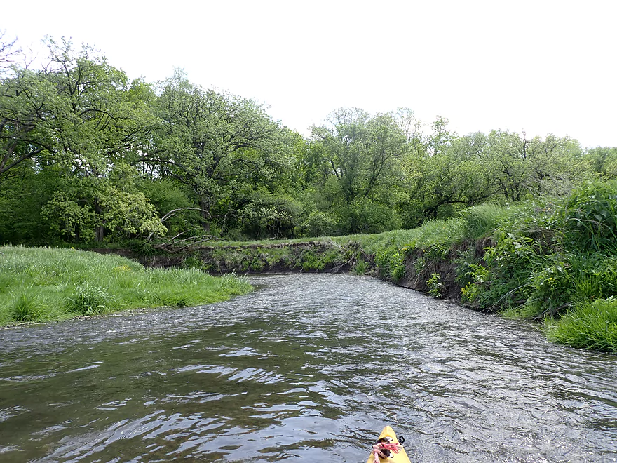
Looking downstream to…
Roller Coaster Road is the next bridge but may not be a great access because of a fence
Pecatonica River – Ames Branch

The Ames Branch is an obscure creek I discovered two years ago when paddling the Pecatonica River near Darlington. I remember thinking at the time the smaller branch actually looked more interesting. I also found it interesting that so many “rivers” in the vast Pecatonica watershed are called branches (usually reserved for bigger rivers) when most should rightly be called creeks. Despite that, many are surprisingly navigable and contain undiscovered paddle trails.
There is no documentation on the Ames Branch anywhere, so I had to make an educated guess that Hwy 23 would be the place to start and it was acceptable.
The first 0.3 miles of the trip flowed through a nice woods very reminiscent of an Upper Pecatonica trip I did last year. There were attractive tree canopies and fun little riffles. Sadly, southwest Wisconsin has been absurdly dry this spring and many of its creeks (including the Ames Branch) are running very low. Most of the “rapids” were bumpy stairs. It was also in the “woods” that I encountered a major logjam that I barely squeaked under.
After the woods, the river really opened up and flowed north through open pasture for the next two miles, which was a real treat. Most Wisconsin rivers don’t flow north, yet this is the ideal direction to paddle. On sunny days, the sun is located to the south so northern scenery usually has the best lighting (most saturated and vibrant). This is something you figure out by accident after taking tens of thousands of kayaking pictures.
Close to Ames Road, I was met by a herd of 10+ mules who followed me along the river. They seemed friendly, but were a little stinky. Much of the shoreline was badly eroded as I neared the farm where they hung out.
The Ames Road bridge marked the “half-way” point in the trip and is a viable access for paddlers. Here the creek picks up a little volume from a tributary but still stays shallow.
The second half of the trip took on a different vibe. Here there was less pasture and more cornfields. Grazing animals, for all their faults, do a good job of eating invasive grasses and keeping the banks from becoming too overgrown. Many “pasture paddles” have a more expansive, open feel with nice vistas of the surrounding countryside.
I had hoped to see outcrops on this trip, but unfortunately I only saw one runty one. The scenery though was still quite good. This included several steep hillsides which really reminded me of the Platte River. The open stretches in contrast really reminded me of the Fever River (a nearby neighbor to the west). Unfortunately, like the Fever, I encountered many shallow rocky stretches that required “scooching”.
I took out at Hwy K which was a doable access, but the embankment was large and steep. Passing cars likely thought it odd seeing me drag a kayak up a steep hill with a rope. In hindsight maybe I should have taken out at the next bridge (Roller Coaster Road) or even on the Pecatonica River itself, but I was concerned about logjams.
In summary, this was a really nice trip that turned out much better than expected. The Ames didn’t have the outcrops that I expected, but it only had a few logjams and I was able to get past all without getting out my boat. I think fans of the Fever River should enjoy this stream which is quite similar. Just make sure you have sufficient water levels.
There wasn’t much wildlife but sights included geese, a lot of singing birds (it sounded like a jungle), and a large herd of mules.
Hwy 23: This was a decent bridge access with the best parking on the southeast corner. From here you can drag your boat down the large embankment and launch directly under the bridge. Be careful not to launch from the wrong Hwy 23 bridge. The Ames branch has a nearby tributary to the north that is much smaller.
Alternative Put-ins:
- Hwy E (3.3 miles upstream from my put-in): Maybe 4-5 logjams, but also finally some outcrops (~3). Hwy E has a fence on one side, but you should be able to launch on the other.
- Rocky Road (1.5 miles upstream from my put-in): Maybe 2 logjams and 1 outcrop. I think Rocky Road would be a viable access.
- Ames Road (2.4 miles downstream from my put-in): Ames is a better access than 23/K, but is still a bit steep and muddy. The stretch upstream of Ames Road though is nice (despite the one major logjam) and shouldn’t be skipped IMO.
Hwy K: This is a doable bridge access but not ideal. The embankment is steep and you will need to drag your boat up it to reach your car (rope helps). Parking on K isn’t that great, so I parked on nearby Red Rock Road instead.
Alternative Take-outs:
- Ames Road (2.7 miles upstream from my take-out): Ames is a better access than 23/K, but is still a bit steep and muddy. The stretch after Ames though is IMO nice.
- Roller Coaster Road (1.1 miles downstream from my take-out): Roller Coaster Road has a cattle fence blocking access to the creek which you would have to hoist your boat over. It’s also kind of close to a home (no privacy). The stretch prior to this is more wooded with maybe two logjams (but is nice).
- Pecatonica River: It’s just 0.3 miles from Roller Coaster Road to the mouth. But from there it would be either a difficult mile+ upstream paddle or a long six-mile downstream paddle to reach a bridge.
Bike Shuttle – Hwy K to Hwy 23: 3.6 miles with 256′ of ascent. Like many driftless bike shuttles, this is hilly and somewhat difficult. I would estimate over half of it was a solid uphill climb. On top of this Hwy 23 is a busy road with narrow shoulders. It’s a doable bike shuttle though and short at just 3.6 miles.
Current: The river has a pool and riffle configuration similar to the Platte River.
Logjams: There were a few logjams which I marked on the trip map.
Strainers: There were two strainers where the rapids went under low hanging branches. I managed to sneak by, but paddlers could easily portage these as there are shallow banks inside of the strainers.
Rapids: There might have been maybe 20+ sets of light rapids/riffles. These were all easy with none more difficult than Class 1. The only major issue was the low depth which meant most of the “rapids” were pretty bumpy.
Fences: There were a few fences early into the trip, but they were high up and easy to get under. Later in the trip is a more conventional wire fence that blocks the river, but I found that easy to lift over my head.
Trip Depth: 2.90′ per the Fever River Buncombe Gauge:
- < 2.8′: Too shallow
- 2.8-2.95′: Mostly too shallow. Most of the river will be fine, but 20+ rapids will almost all be pretty bumpy.
- 2.95-3.0′: Shallow with many bumpy rapids.
- 3.0-3.1′: Some bumpy rapids. Likely a good target depth.
- 3.1-3.2′: Good target depth.
- 3.2-3.4′: River will be on the high side. Should be manageable.
- 3.4-3.6′: River will be very high. Only suitable for experienced paddlers.
- 3.6’+: Maybe too high for enjoyable paddling.
Did you know the Pecatonica River has a ridiculous number of branches? Can you name them all? A surprising number are navigable and I’ve already paddled a handful (see my trip map).
Complete List: Ames Branch, Blue Mounds Branch, Bonner Branch, Cottage Inn Branch, Dodge Branch, East Branch, Gribble Branch, Jones Branch, Livingston Branch, Mineral Point Branch, Mud Branch, Pleasant Branch, Ridgeway Branch, Simons Branch, Vinegar Branch, Williams Branch, and Wood Branch.
- Ames Branch Road to Wood Road: 1.6 miles. Very small creek with maybe two logjams. Maybe one outcrop.
- Wood Road to Hwy E: 1.4 miles. Maybe two outcrops and two logjams.
- Hwy E to Rocky Road: 1.8 miles. Maybe three logjams and two sets of outcrops.
- Rocky Road to Hwy 23: 1.5 miles. Maybe two logjams and one outcrop.
- Hwy 23 to Hwy K: 5.1 miles.
- Hwy 23 to Ames Road: 2.4 miles. Nice stretch with a number of light rapids. There is one major logjam close to Hwy 23.
- Ames Road to Hwy K: 2.7 miles. One minor logjam. This is another nice stretch, but can get very shallow depending on recent rainfall.
- Hwy K to Roller Coaster Road: 1.1 miles. Maybe two logjams.
- Roller Coaster Road to Mouth on Pecatonica: 0.3 miles. Nice little subsection between steep banks.
- Additional Take-out Options on the Pecatonica River:
- You could paddle one mile upstream to the other Roller Coaster Road bridge. This may be difficult in high water.
- You could paddle ~six miles downstream to Walnut Drive. This is a mediocre stretch on the river.
Trip Map
Overview Map
Video
Photos Size: