
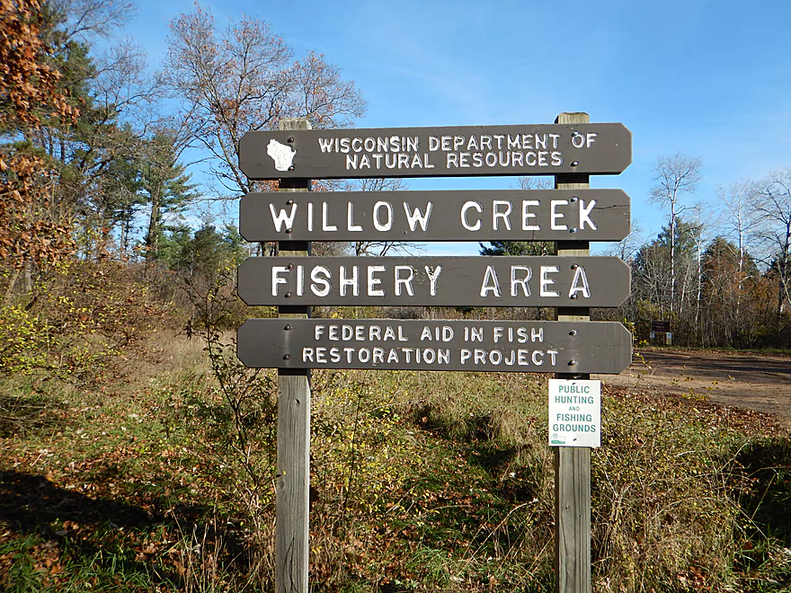
Welcome to Willow Creek
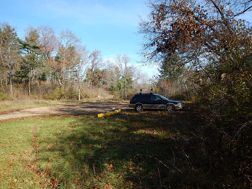
Handy nearby public parking lot
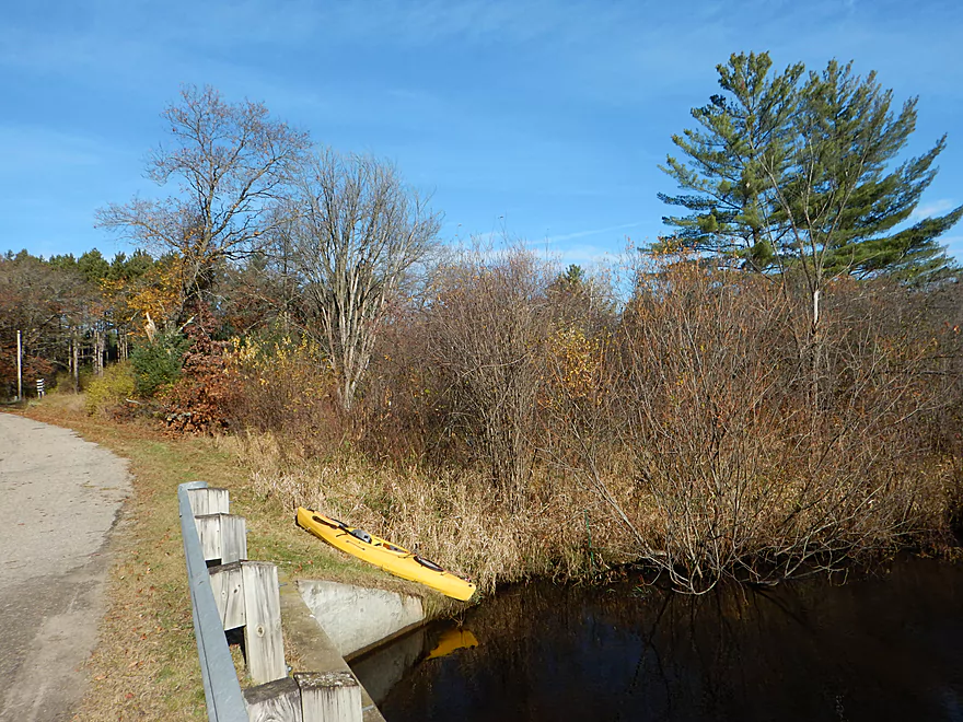
Nice launch area by Brown Deer Ave
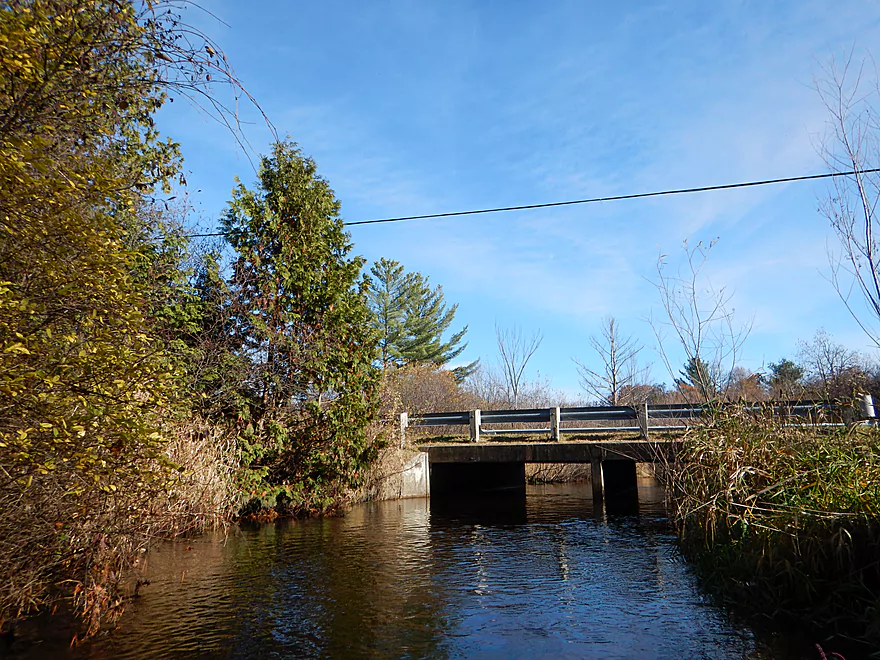
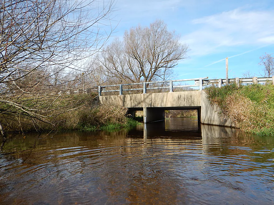
Be careful of the bridge because of low-hanging nails
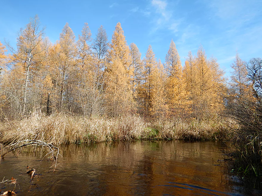
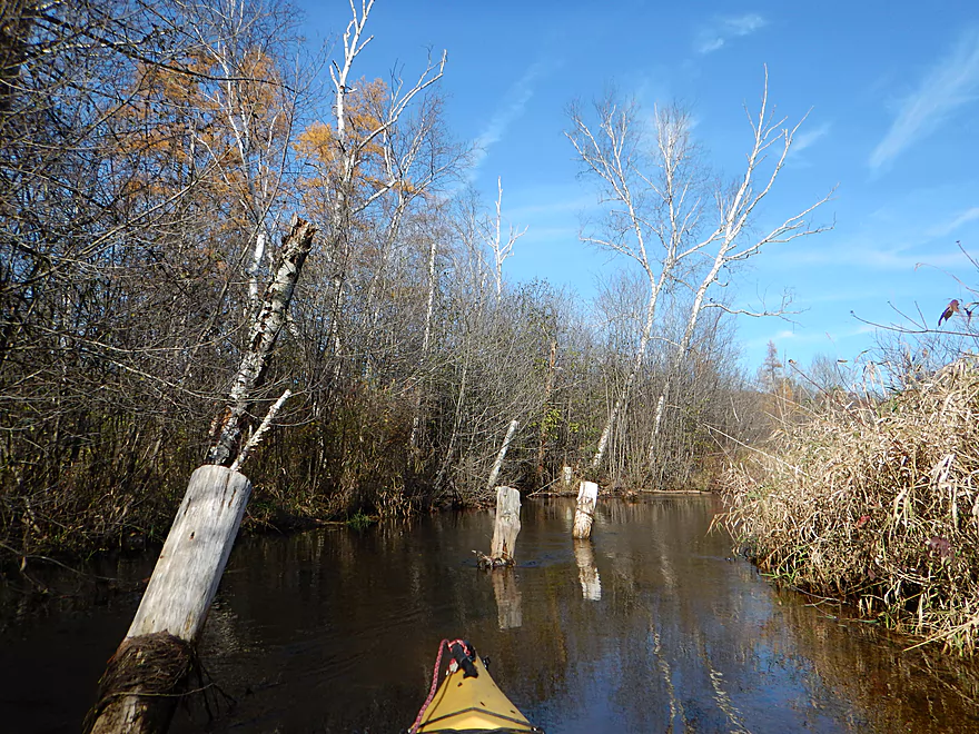
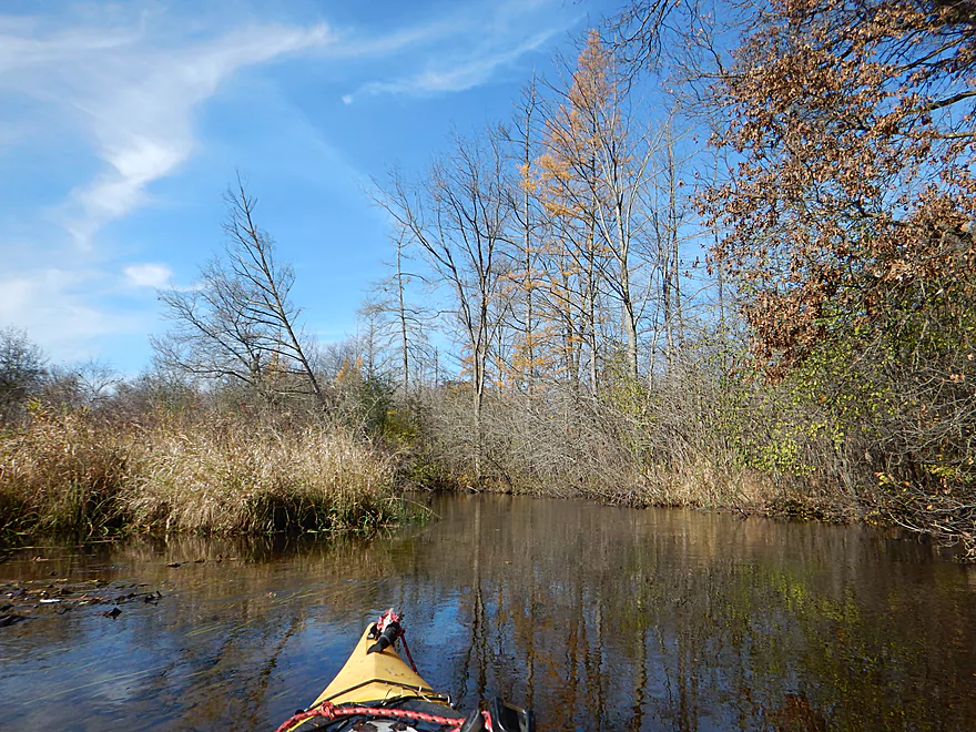
Late turning tamaracks
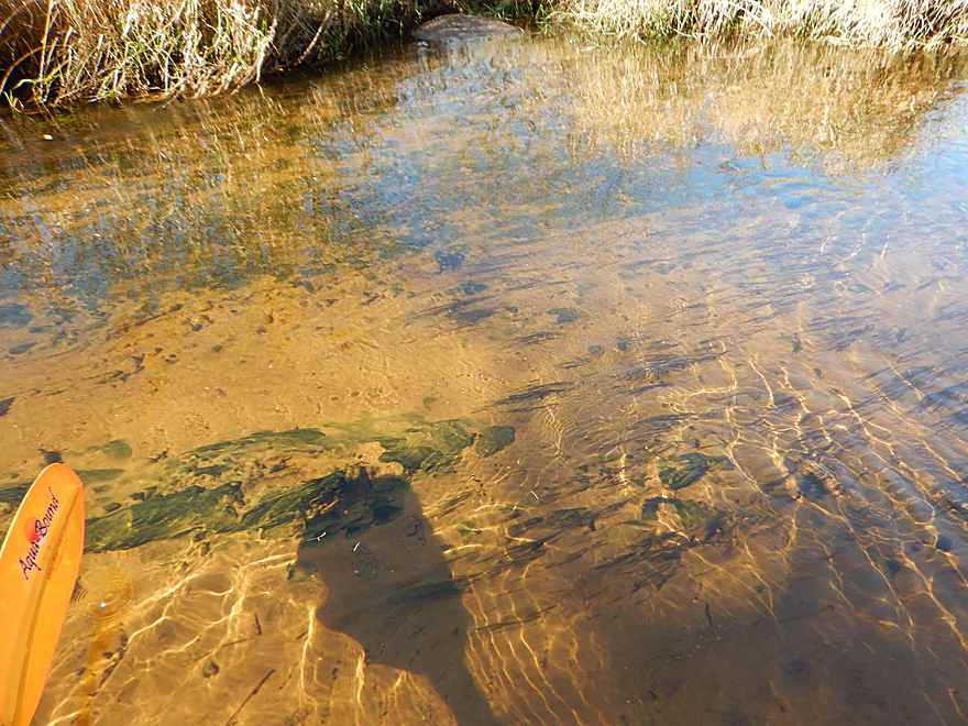
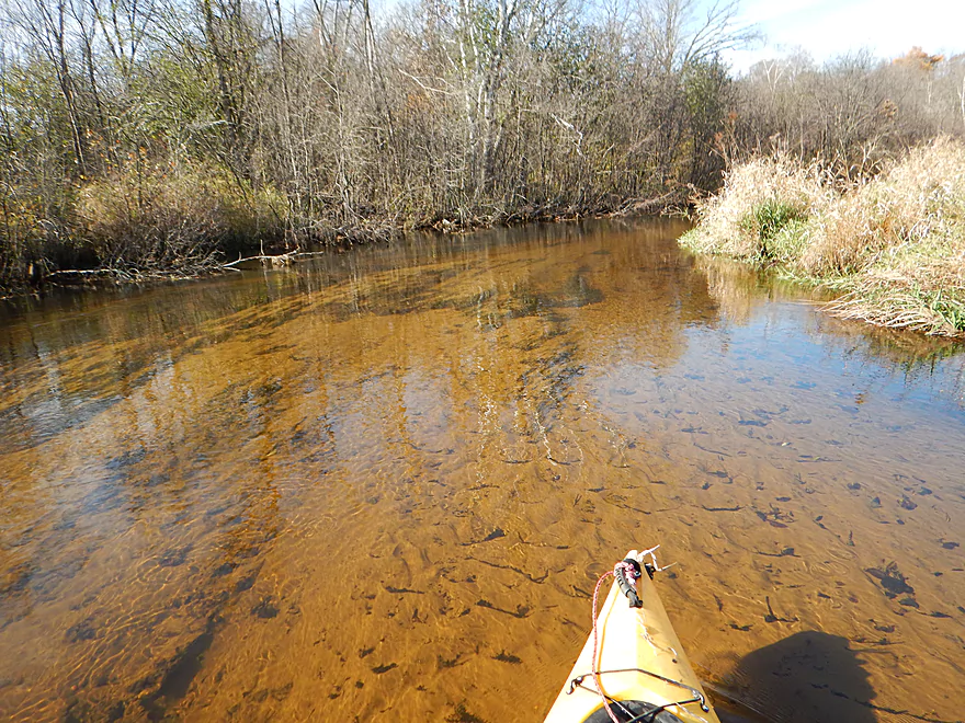
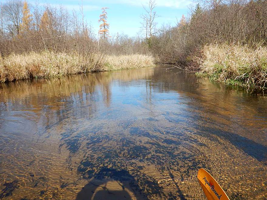
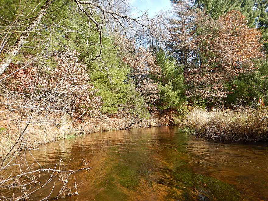
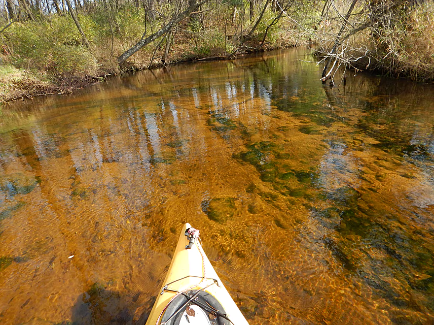
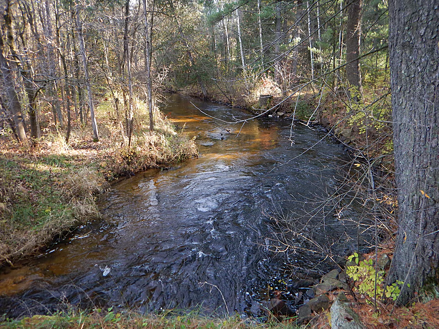
Clarity was FANTASTIC
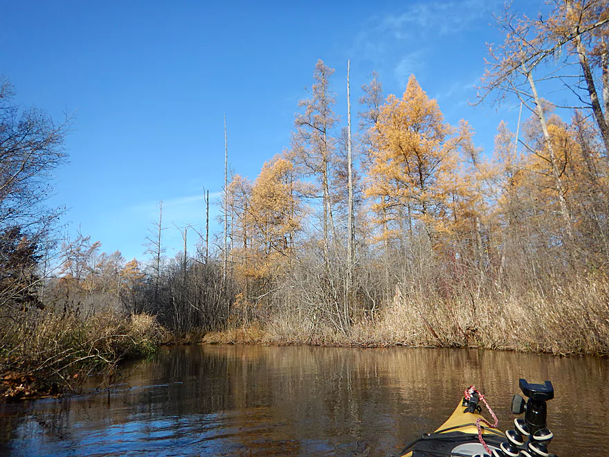
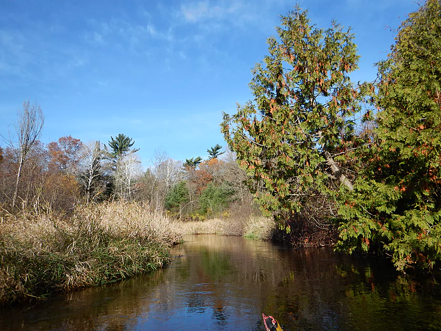
You usually don’t think of conifers changing color…
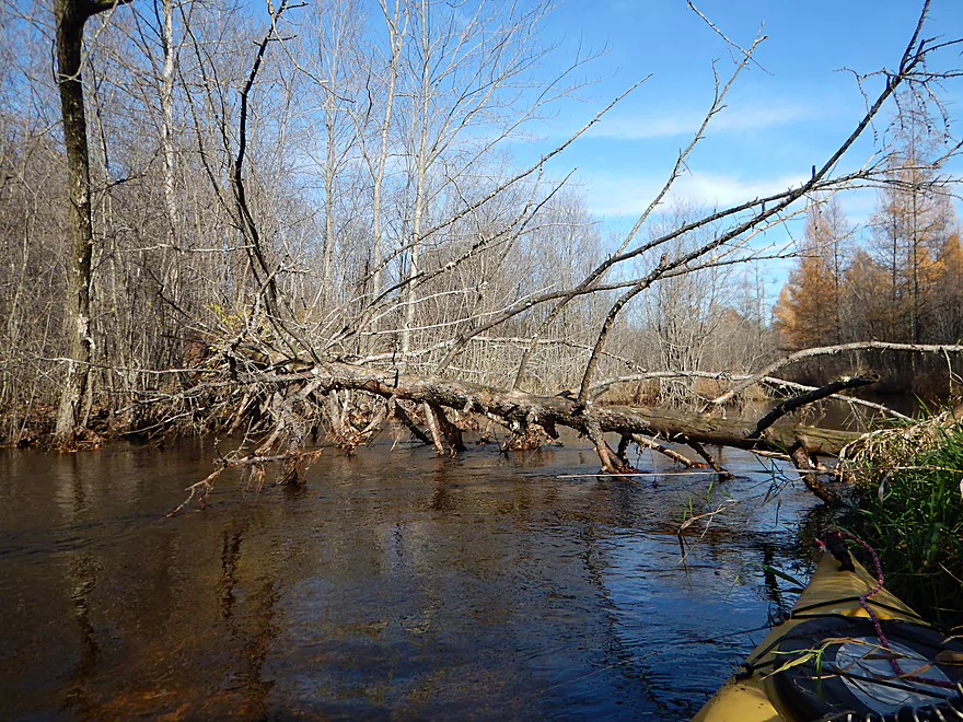
Not getting past this
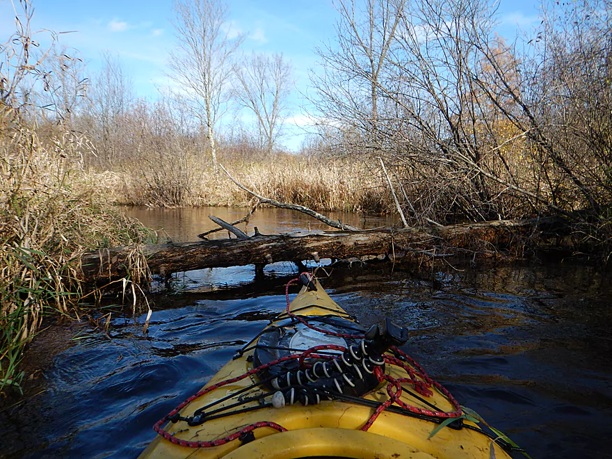
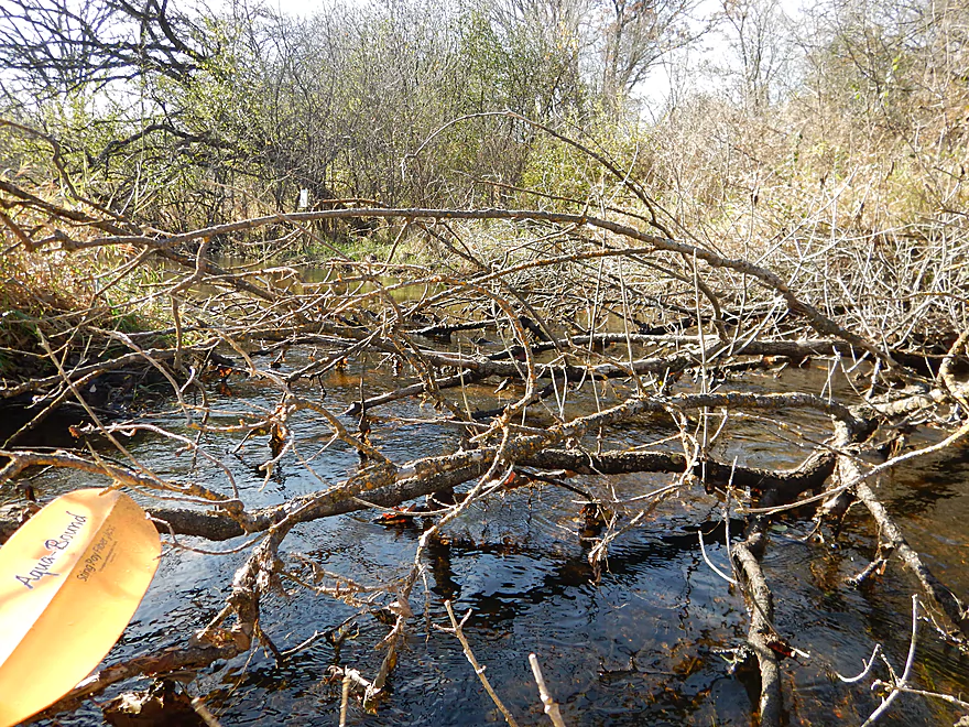
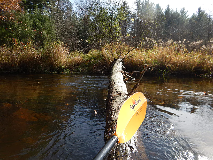
The first portage
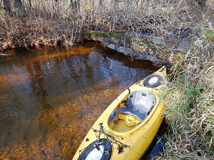
Doable but a bit mucky
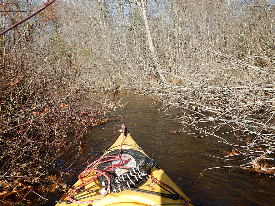
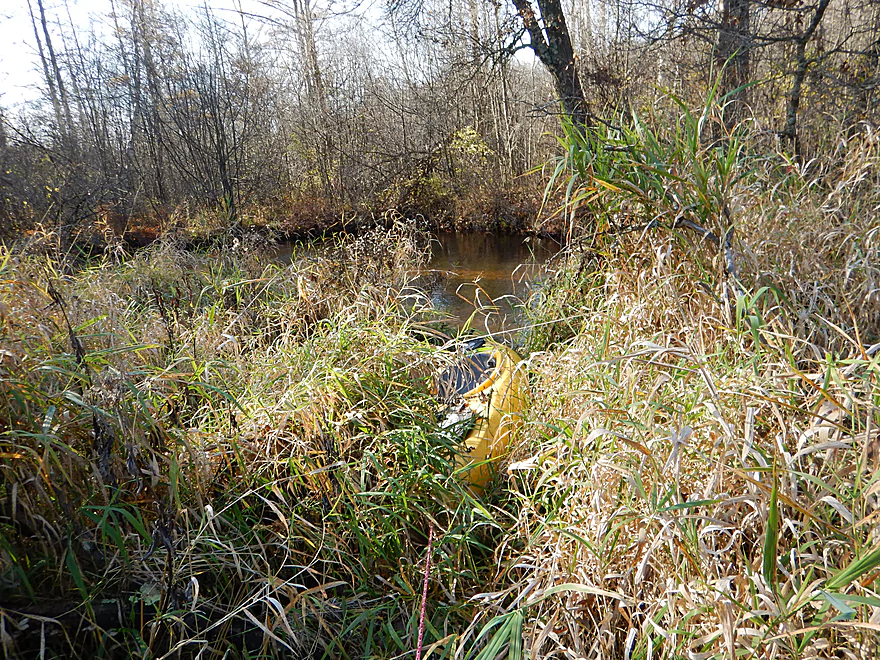
Running the shrub gauntlet
The DNR has worked on improving the stream for trout
Portage #2
My favorite photo
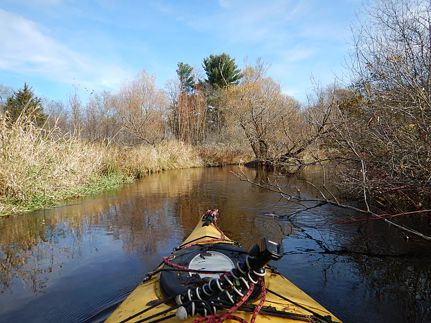
Fighting low branches
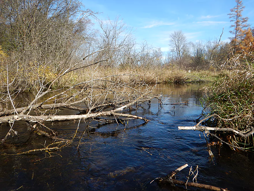
I did clear a passage for future paddlers
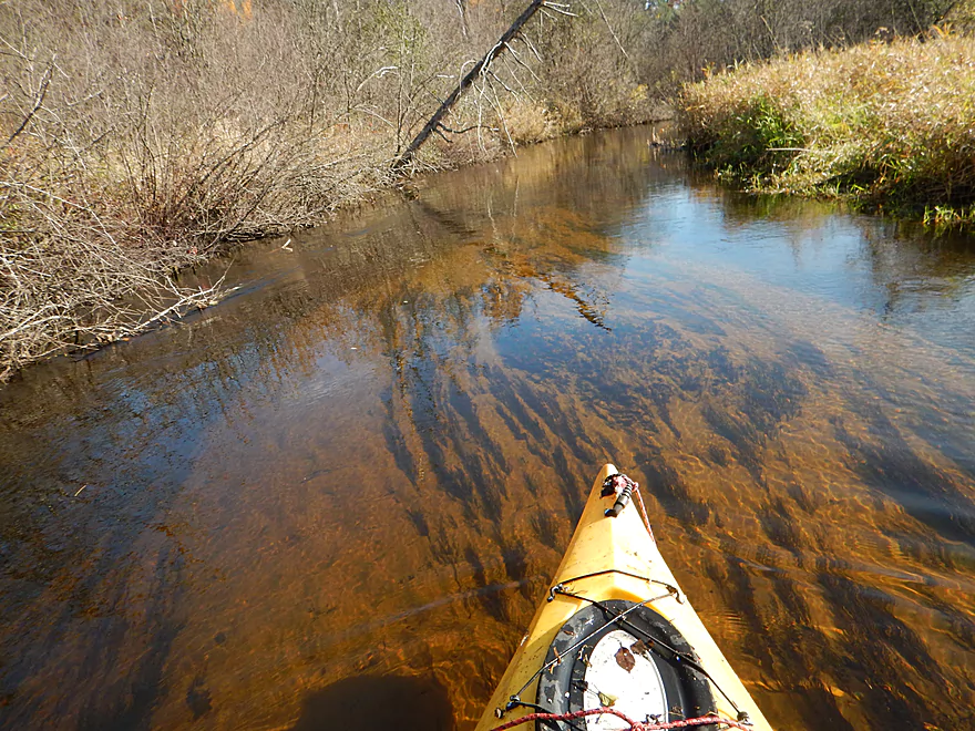
The whole trip was this clear
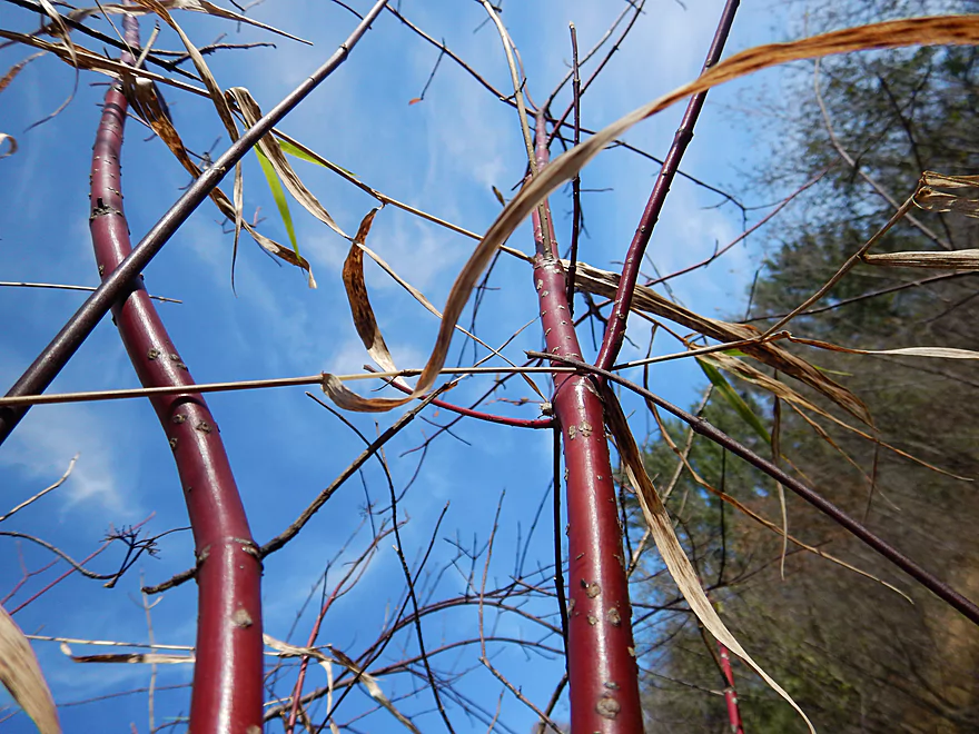
Red-osier dogwoods
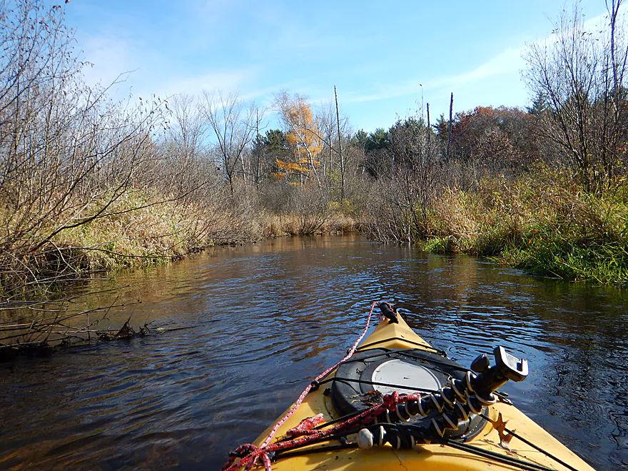
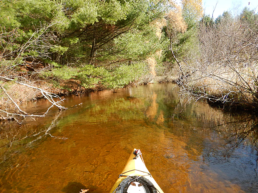
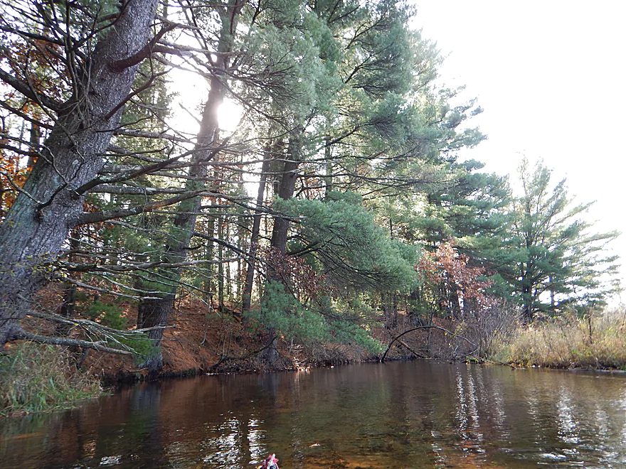
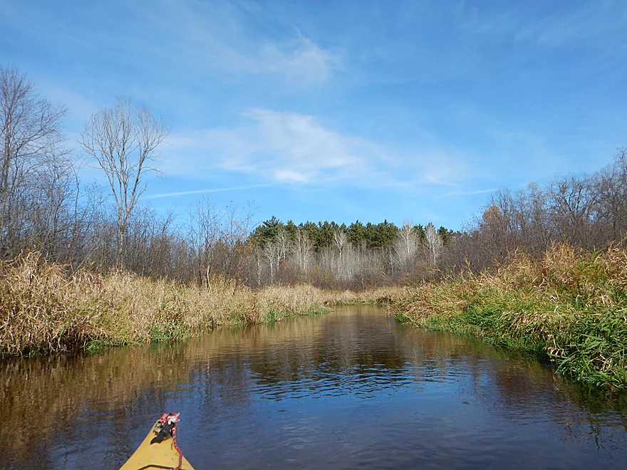
Nice to see pines instead of alders
Annoying but you can hop over this
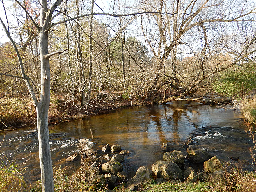
Hwy S is an alternate take-out
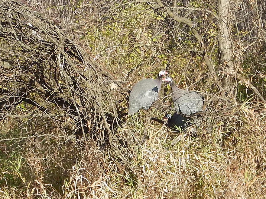
3 guinea fowl perched on a shrub
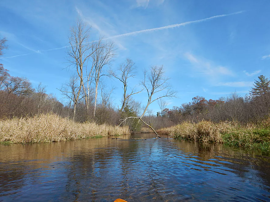
At last…a willow on the Willow
Chicago Ave
Good take-out
Scouting Hwy S (looks nice)
Scouting Park Street (riffles and a logjam)
Willow Creek


Willow Creek is a somewhat obscure tributary to Lake Poygan. The upper portion is popular with trout fishermen and has numerous easements and pull-offs along the shore. It is somewhat odd this creek isn’t referred to as a river though, as it gets to be quite large near its mouth…and this may be the biggest creek in the entire state. However, much of the creek is not navigable because of logjams. Based on map research, I had long suspected a section from Brown Deer Ave to Chicago Ave might actually be open and was anxious to check this out.
Brown Deer Ave is an easy way to start a trip on the Willow, with a handy public parking lot northwest of the bridge. The scenery is pleasant but gets repetitive in a hurry. Basically, you have a narrow channel (~15′ wide on average), a ton of tight turns, up-tempo current, no hills, and banks lined with grasses and thick alders. Water clarity was fantastic and the highlight of the trip. Despite this being a deep creek (with most sections between 3-6′ deep), you could easily see the sandy bottom and the many fish darting back and forth.
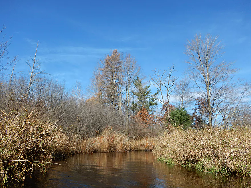
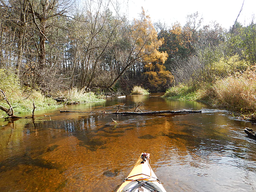
This all sounds nice…but it was the same thing for almost the entire trip, which made the creek less interesting. What also hurt the trip were the two logjams I had to portage and, on top of this, several snags that took a while to get my boat through. After a few miles the creek does get nicer as alders thin out, a couple of pine groves appear, and the channel widens to about 30′.
Despite the nice water clarity and lack of development, I probably can’t recommend the trip unless you are a local. In many ways the creek reminded me of the nearby Mecan River, which I consider to be superior and would suggest instead if you want to do a trip in the area.
Put-in:
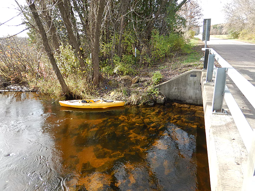
Northwest of Brown Deer Ave there is a public pull-off area (intended for trout fishermen but works equally well for paddlers). From here, it is easy to launch upstream/west of the bridge.
Take-out:
I took out at Chicago Ave, downstream/west of the bridge. This is also popular with trout fishermen and works well as an access point. Parking is a bit tight on the shoulder by the bridge though and you may have to park on the shoulder several hundred yards to the west.
An alternate take-out would be Hwy S (about a mile upstream of Chicago Ave). Here there is another nice pull-off for fishermen and it shouldn’t be difficult to launch along the bank, although you will have to circumnavigate a guardrail.
Shuttle Information:
Very easy bike shuttle at 2.15 miles with no hills (part of the reason I did this trip!).
Hazards, Logjams and Current:
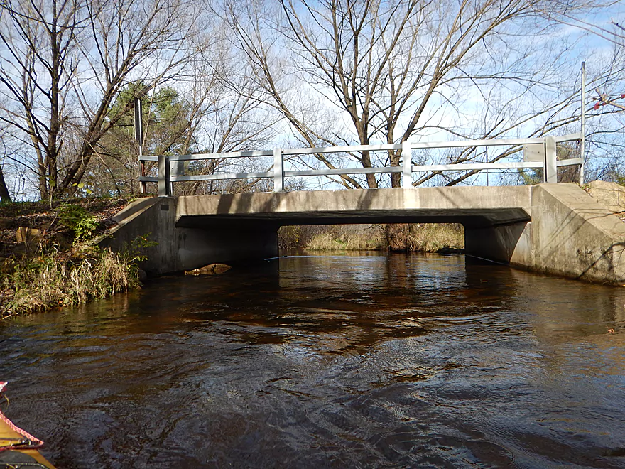
No real hazards nor rapids, although the current does scoot along at a good pace. If you launch upstream of Brown Deer Ave, the bridge has low-hanging nails that can hit your head.
There are multiple downed trees though. Two required me to portage, which wasn’t too difficult (although the first was a bit mucky, so make sure you bring your aquatic shoes). In several cases I had to zigzag through, over, and under downed trees (I did break some branches, which should help future paddlers). Other than that, this is a mostly open paddle.
River Depth and Navigability:
There is no gauge on the river, but the Waupaca River gauge should give a rough idea of where this creek is at:
- < 220 CFS: A rare depth, but the clarity should be smashing. This is a deep creek and I doubt it ever gets too low to run.
- 221 – 260 CFS: A typical depth and well suited for paddling.
- 261-300 CFS: Above normal depth that will hurt the water clarity a bit. Trip was done at 270 CFS.
- 301+ CFS: Creek would be very full and may overflow the banks at this point. Not recommended.
Noteworthy Wildlife:
Not much…a few ducks, deer, and many fish (which I think were mostly trout). The highlight was seeing a family of three guinea fowl roosting on a low tree. They are domestic animals, so perhaps they escaped from a nearby farm.
Area Diversions:
In the nearby city of Redgranite there is a quarry lake that is a popular swimming destination with locals. What makes Redgranite Lake unique are the large red granite rocks that line the quarry and that locals like to use as diving boards (which you’re not supposed to do). You could certainly take a swim here or do a quick paddle around the quarry after a trip on the Willow.
- Upstream of Cty Road W/Nordic Mountain: The creek is still largely navigable in its far upstream reaches, but I suspect logjams might be a problem. I could be wrong.
- Cty Road W to Blackhawk Road: 3.8 miles. An intriguing prospect, but maybe 4 major logjams and one alder gauntlet.
- Blackhawk Road to Brown Deer Ave: 1.7 miles. Maybe 4 major logjams. Access by Blackhawk Road is intimidating because of a nearby house and No Trespassing signs.
- Brown Deer Ave to Chicago Ave: 4.1 miles.
- Brown Deer Ave to Cty Road S: 3.2 miles. A pleasant section with very clear water but nothing super special. There are three easy logjams to portage.
- Cty Road S to Chicago Ave: 0.9 miles. A pleasant section with no logjams.
- Chicago Ave to Cty Road S: 2.1 miles. An interesting prospect with a number of pine trees. Maybe two logjams.
- Cty Road S to Redgranite’s Willow Creek Park: 4.1 miles. A nice leg with clear water and some scenic pine trees. Mostly open, but there are four major logjams and several minor logjams that require tight maneuvers.
- Redgranite’s Willow Creek Park to Pine River Street: 0.3 miles. Short but scenic stretch. Maybe 1-2 logjams.
- Pine River Street to 28th Road: 3.8 miles. Maybe 7-8 major logjams. Otherwise looks nice.
- 28th Road to 29th Lane: 2.5 miles. Congested woods in the first half (maybe 4 logjams) and a more broad, open channel in the second half.
- 29th Lane to Hwy 49/Dam: 2.0 miles. Mostly open flowage.
- Hwy 49 to Hwy D: 9.6 miles. Starts really nice with attractive clear water and good current. The later parts of the trip slow down and flow through a vast wetgrass marsh that is not as interesting.
- Cty Road D to the 35th Lane Access: 1.5 miles. A slow, wide channel…not a great prospect.
- Cty Road D to Lake Poygan: 2.1 miles. Likely not interesting, although it would be novel to paddle to the mouth and see Lake Poygan.
- Lake Poygan Mouth to Pumkinseed Creek/Cty Road D: 2.0 miles. The mouth of Willow Creek and Pumpkinseed Creek are next to each other, so you could paddle up slow Pumpkinseed Creek and get out at Cty Road D. This is viable, but likely not super interesting.
Special thanks to Adam Kiernicki for providing information on Willow Creek.
Trip Map
Overview Map
Video
Photos Size: