Pecatonica River – Mineral Point Branch
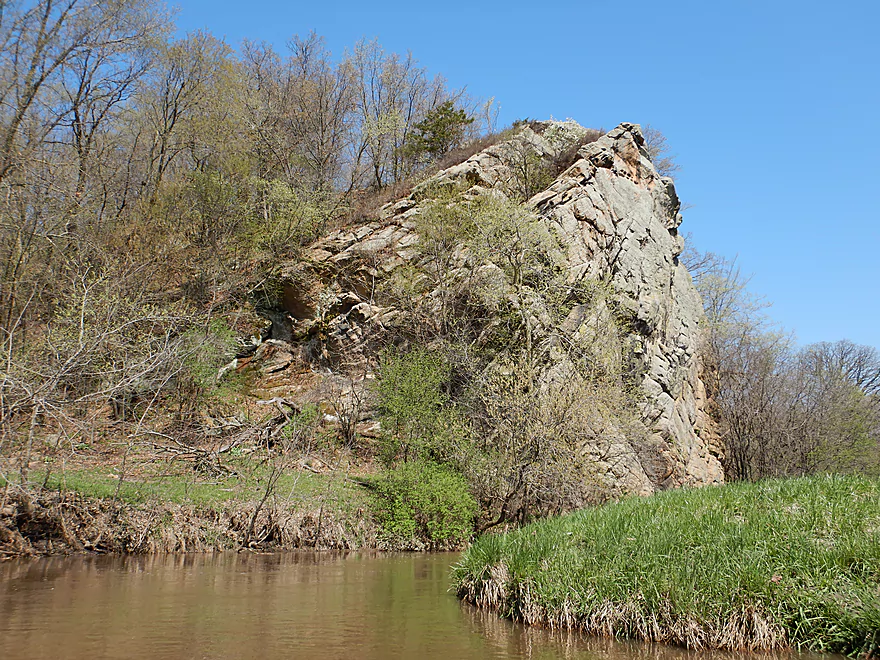
While not frequented by paddlers, this is a surprisingly nice paddling stream. Scenory will include rolling hills, some cow pasture, riffles, and even some nice rock outcrops.
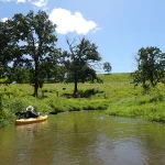
Trip Reports
Ludden Lake Boat Ramp to North Oak Park Road
Date Paddled: May 5th, 2018
Distance: 4.8 miles
Time: 3 hours 29 minutes (atypical...expect 2.5 hours)
If you can catch the Mineral Point Branch with enough water you'll be rewarded with a nice paddle through open pastures, rolling green hills, sandstone outcrops, and light rapids.
Read More...N. Oak Park Road to S. Oak Park Road
Date Paddled: August 23rd, 2025
Distance: 4.7 miles
Time: Expect 2 hours
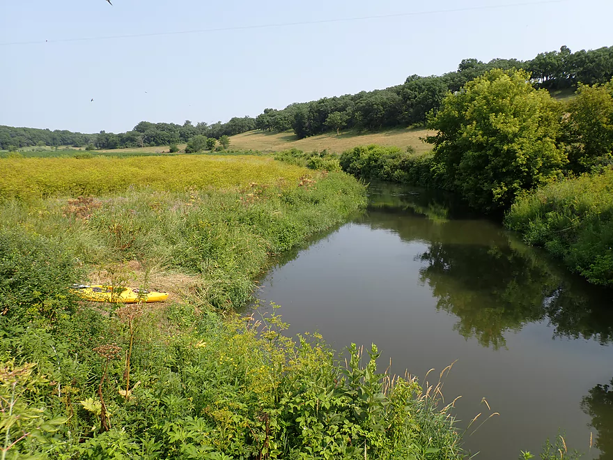
The river starts fast, narrow and scenic with gorgeous rolling hills and a few outcrops. After the Sudan Branch joins up, the river doubles in size. It also becomes a little less interesting, but remains pleasant with nice open vistas and brisk current.
Read More...Oak Park Road to Hwy O
Date Paddled: July 16th, 2023
Distance: 4.6 miles
Time: Expect 2 hours
This was a surprisingly nice trip on an overlooked stretch of the Mineral Point Branch. The big highlight of this stretch are its many bankside outcrops.
Read More...Overview Map
Detailed Overview
- Mill Creek Road to Ludden Lake Boat Ramp: 4.0 miles. Very small and will require high water. Fences might be an issue. Mostly open pasture with maybe 1-2 logjams. There are likely several scenic outcrops on this section.
- Ludden Lake Boat Ramp to N. Oak Park Road: 4.8 miles. A nice paddle through open pastures, rolling green hills, occasional outcrops and some light rapids.
- Ludden Lake Boat Ramp to Ludden Dam: 0.5 miles. Ludden Lake is a popular kayaking lake that consists of a scenic rocky shore with occasional outcrops.
- Ludden Dam to Hwy 39: 0.7 miles. A fun section with maybe three Class 1 rapids and several sandstone outcrops. I am not 100% sure the land below the dam is public access, but the locals and fishermen use it all the time.
- Hwy 39 to N. Oak Park Road: 3.6 miles. A great stretch through an open valley with fast current, several larger outcrops and only one logjam.
- N. Oak Park Road to S. Oak Park Road: 4.3 miles. Starts small, fast, narrow and scenic with gorgeous rolling hills and a few outcrops. The Sudan Branch doubles the river and afterwards it becomes less interesting, but remains pleasant with nice open vistas and brisk current.
- S. Oak Park Road to Hwy O 1st Bridge: 4.7 miles. A good leg with many outcrops and no logjams.
- Hwy O 1st Bridge to Hwy O 2nd Bridge: 1.6 miles. There could be a few logjams. Likely no outcrops, but maybe one. Hwy O (2nd Bridge) marks the confluence with the main branch of the Pecatonica.
- For more paddling options on the main branch, see my Pecatonica River Overview Map.