
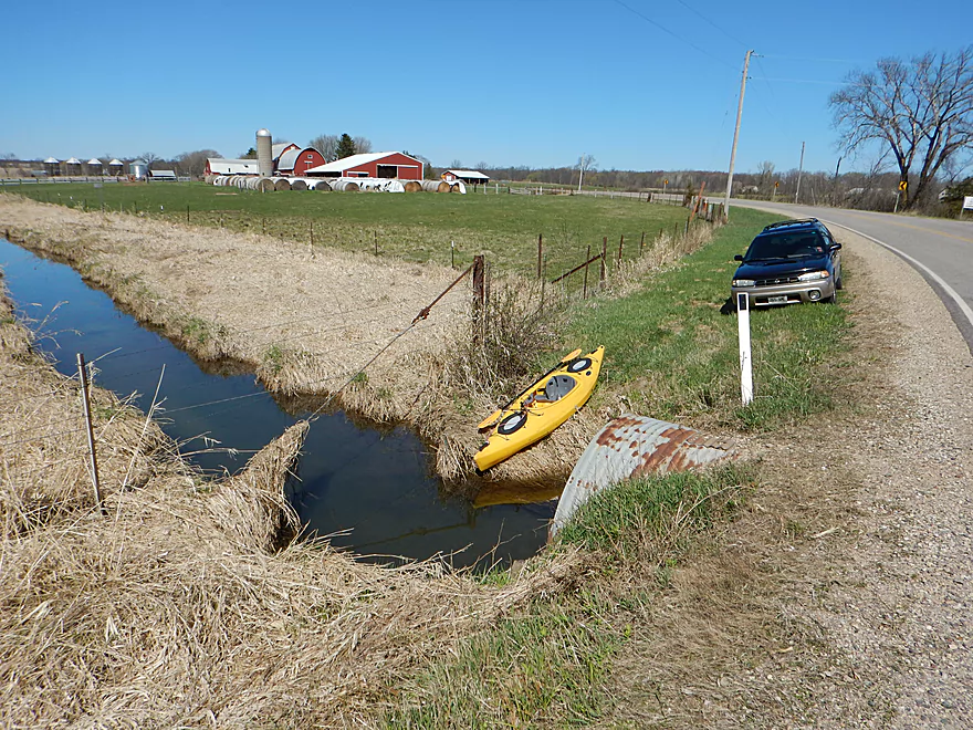
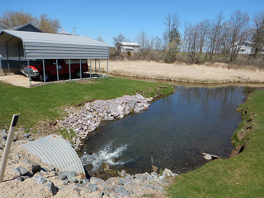
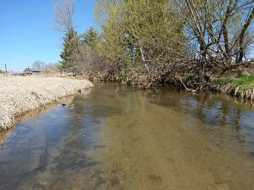
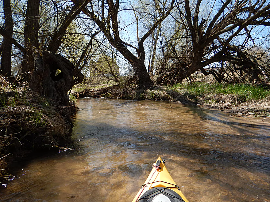
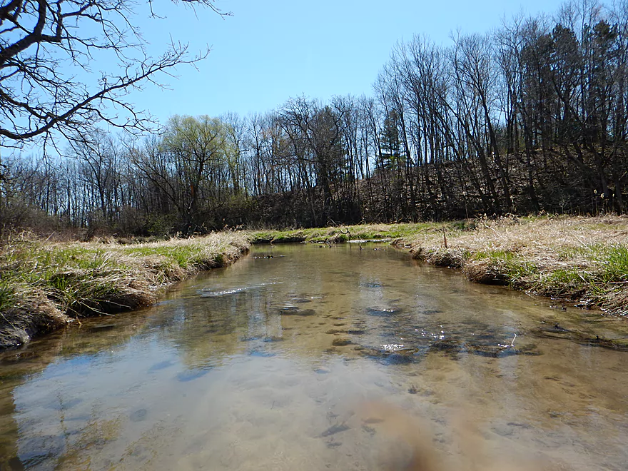
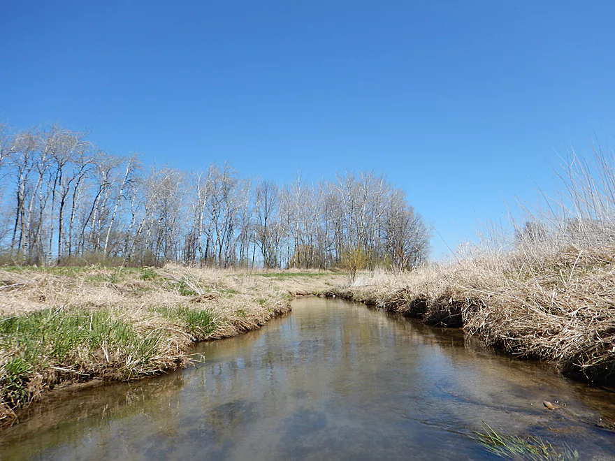
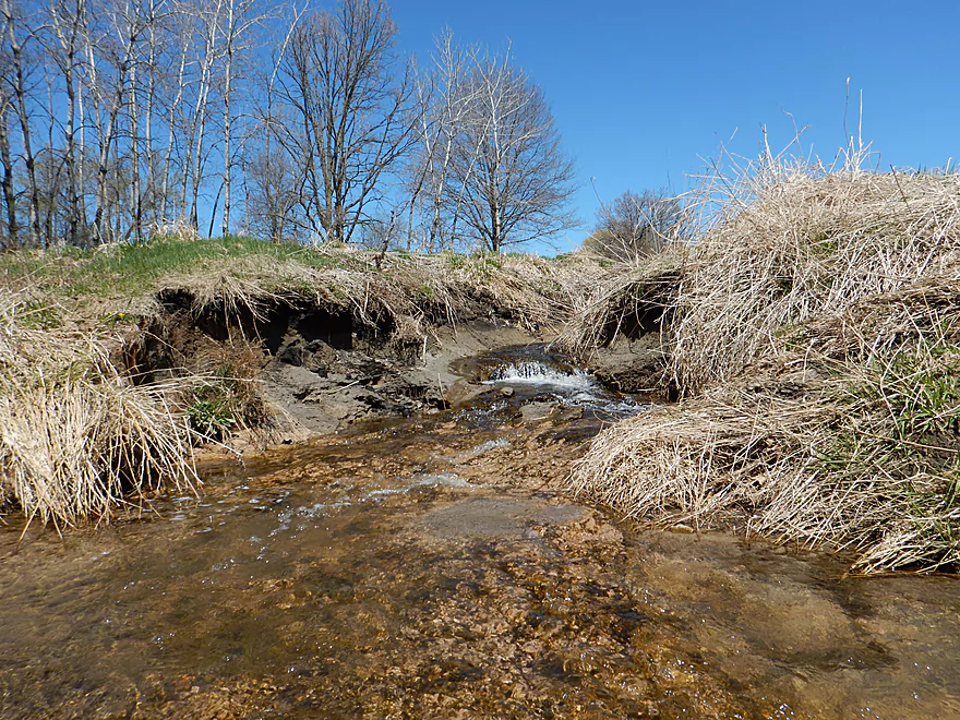
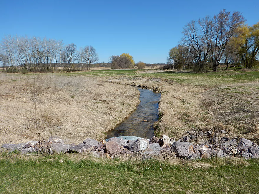
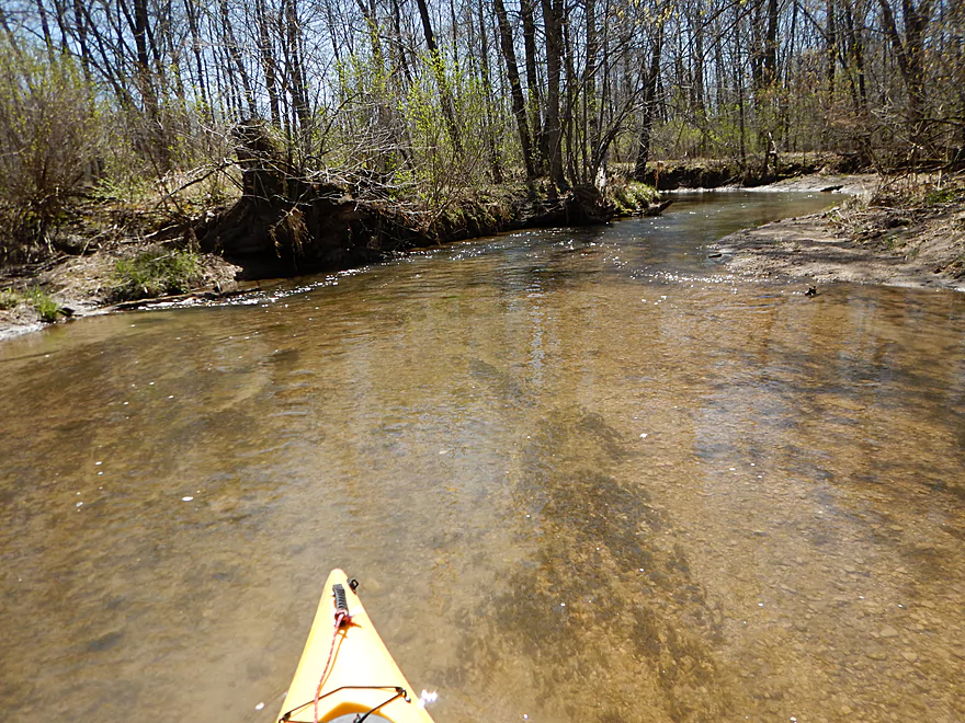
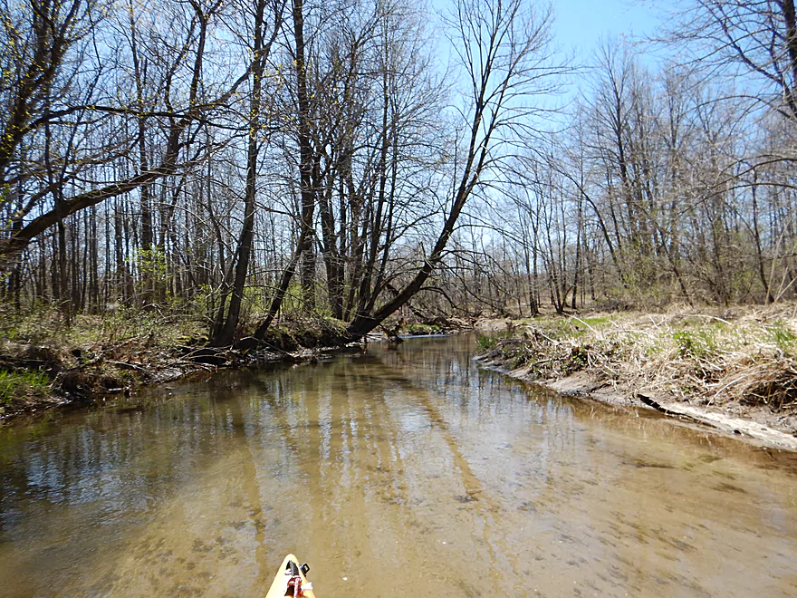
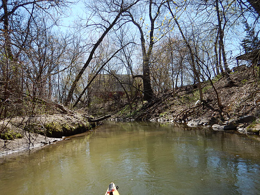
Hwy G put-in (not Big Spring Creek)
My 10.5′ kayak didn’t fit well to start
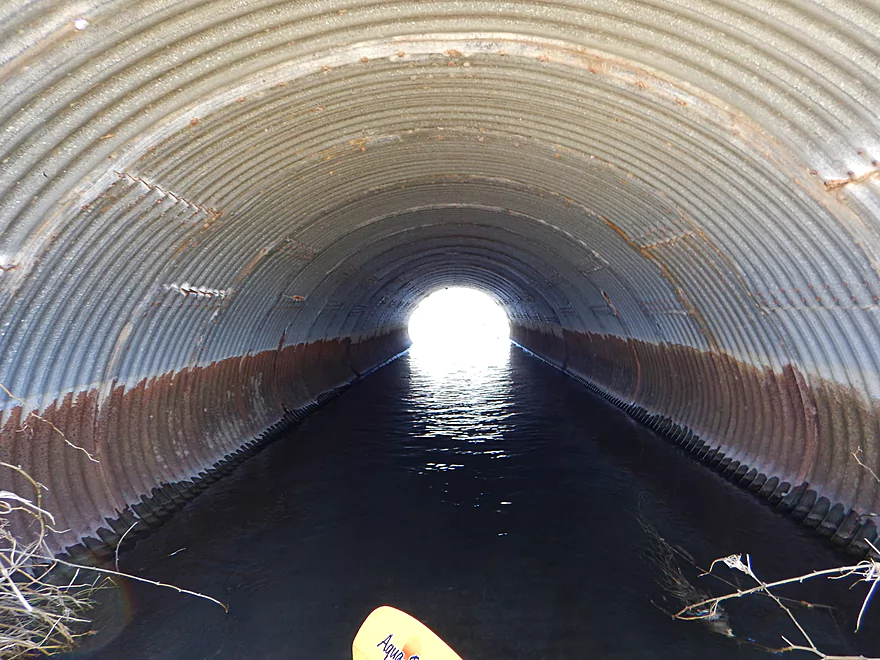
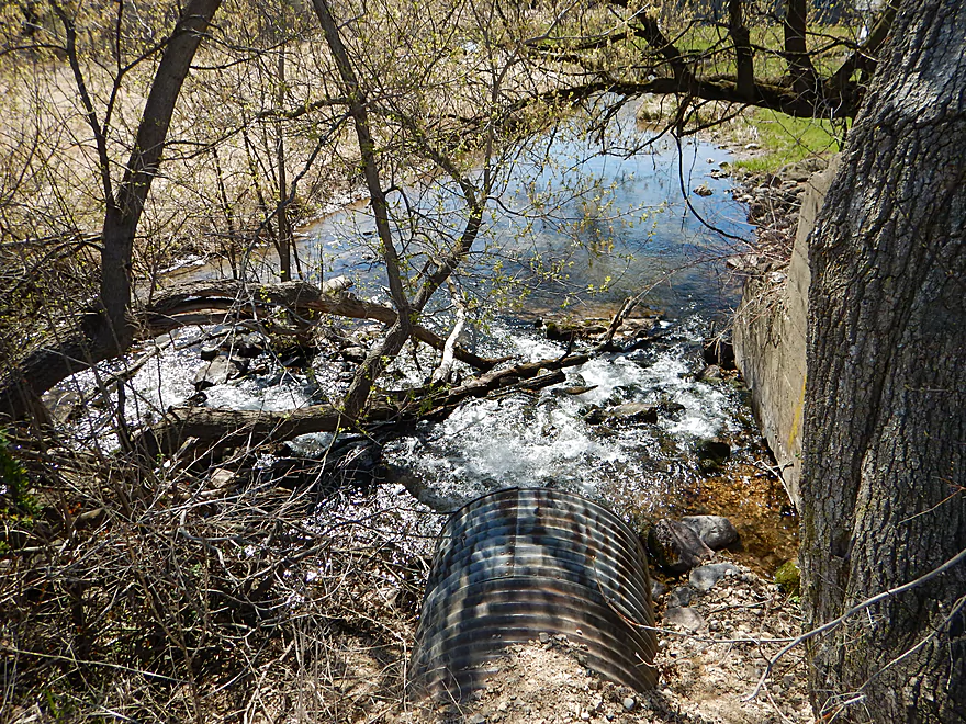
Light at the end of the tunnel?
That would be rocky riffles that I got stuck on
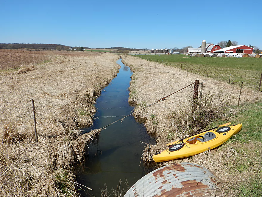
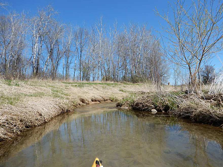
Smarter to put in on this side of the bridge (hindsight)
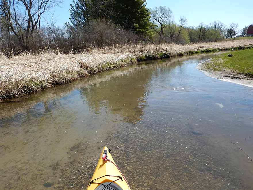
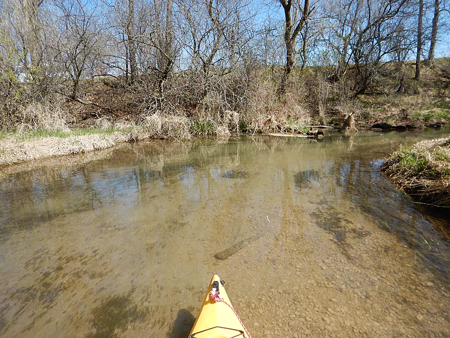
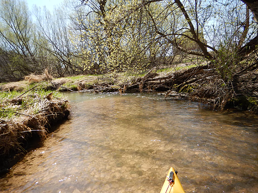
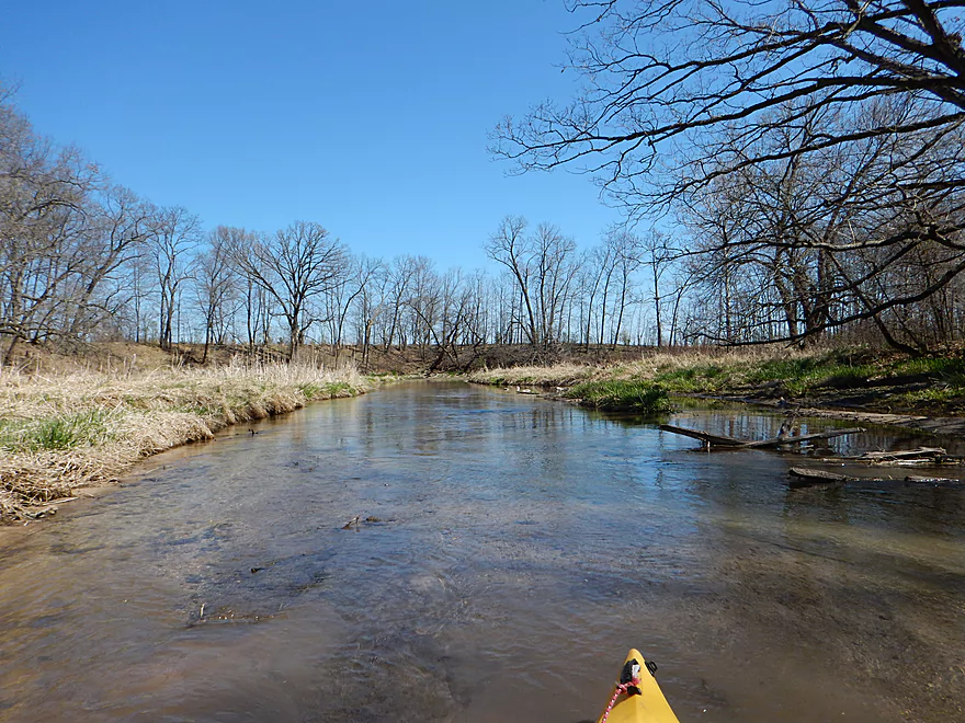
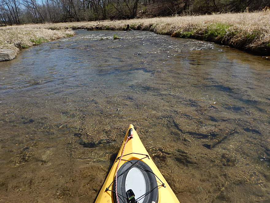
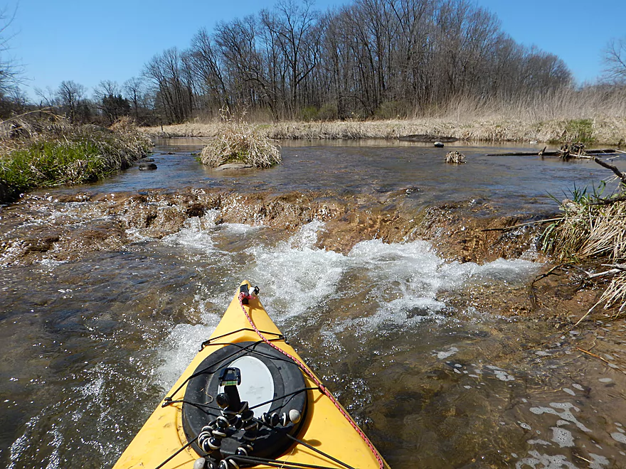
Great water clarity (strength of the trip)
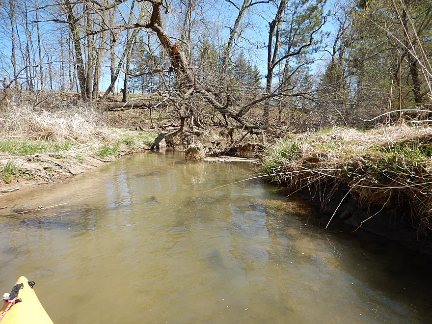
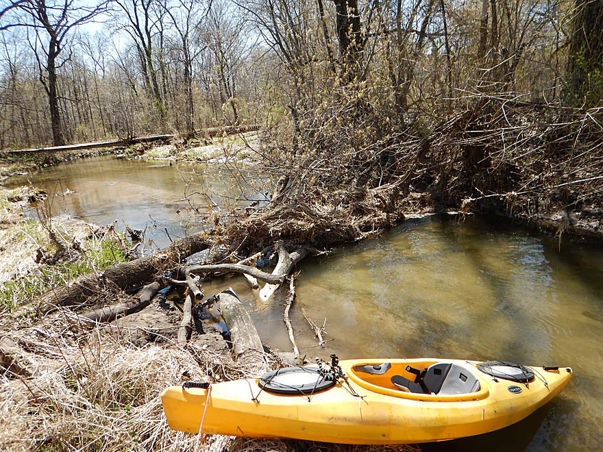
Time to get dirty
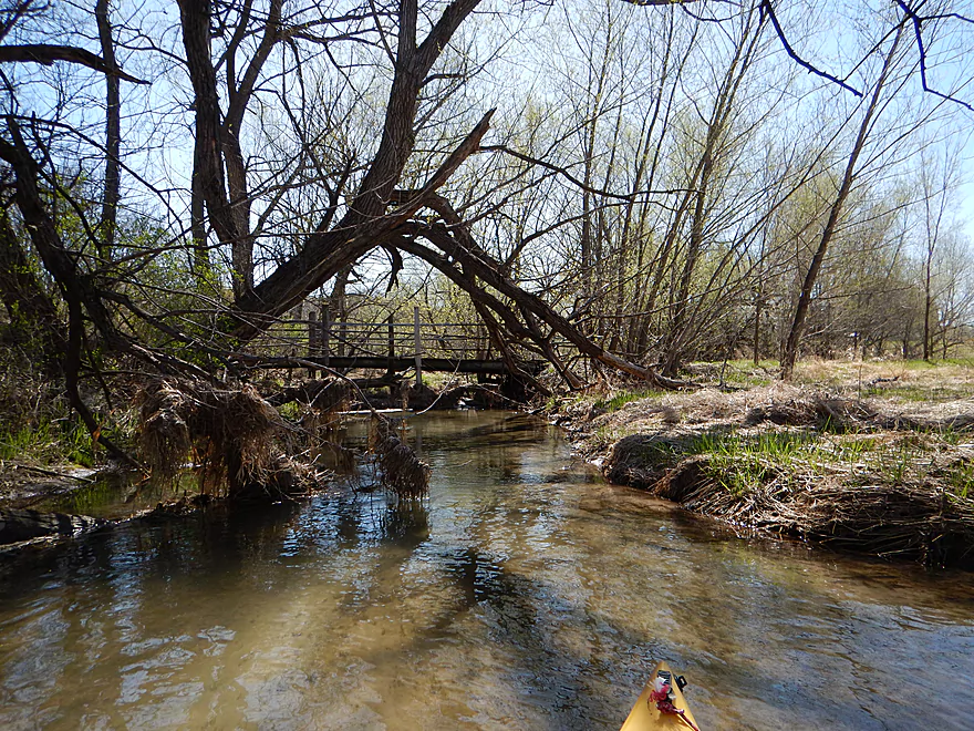
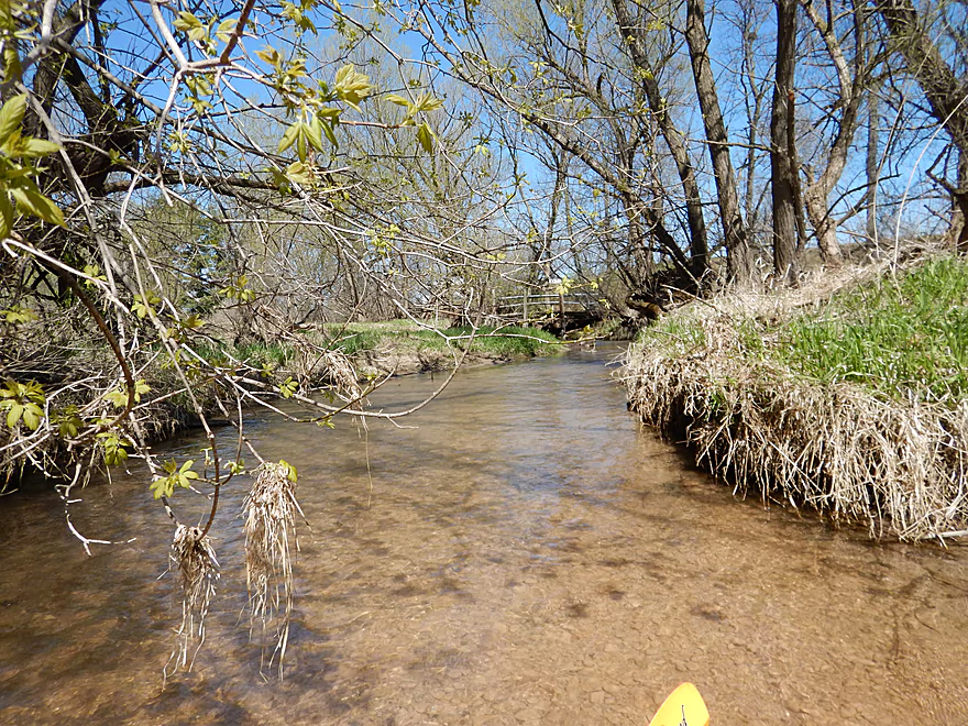
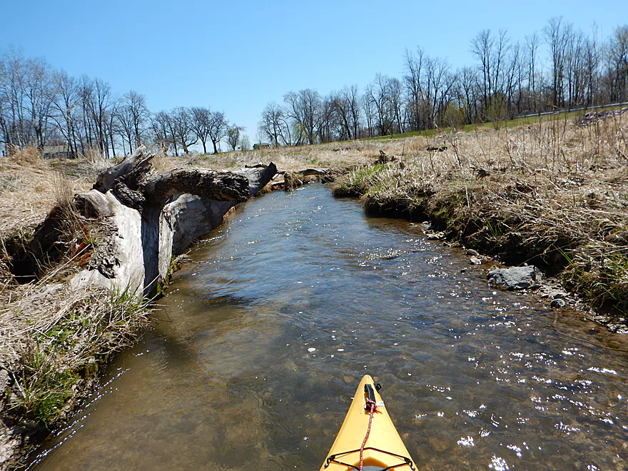
Footbridges tend to always produce…
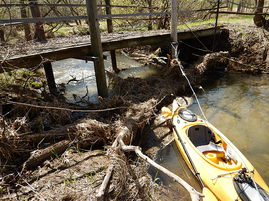
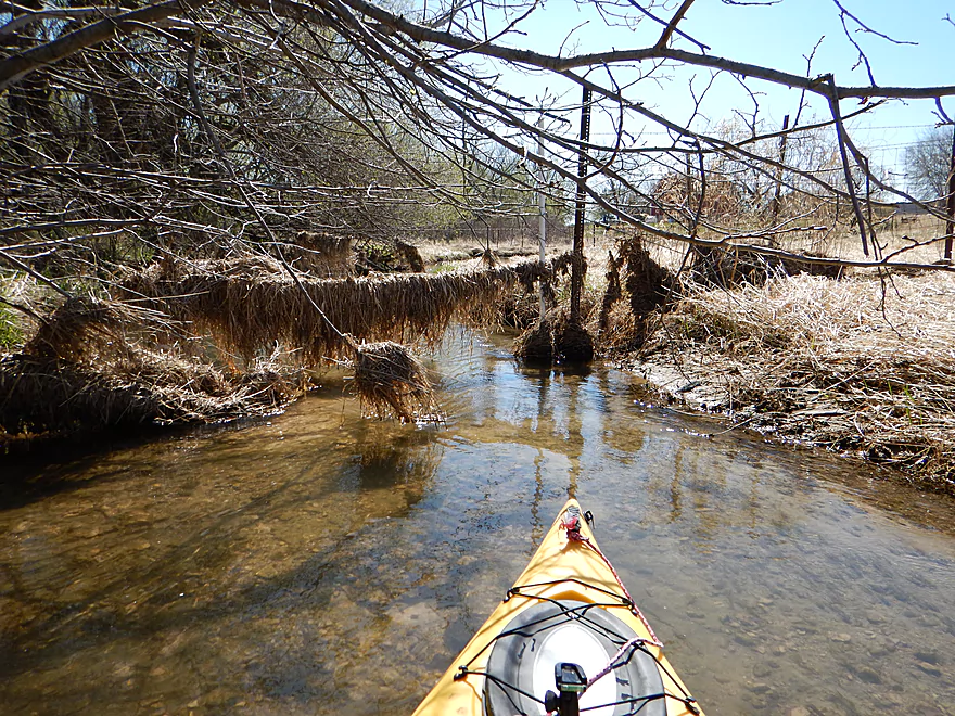
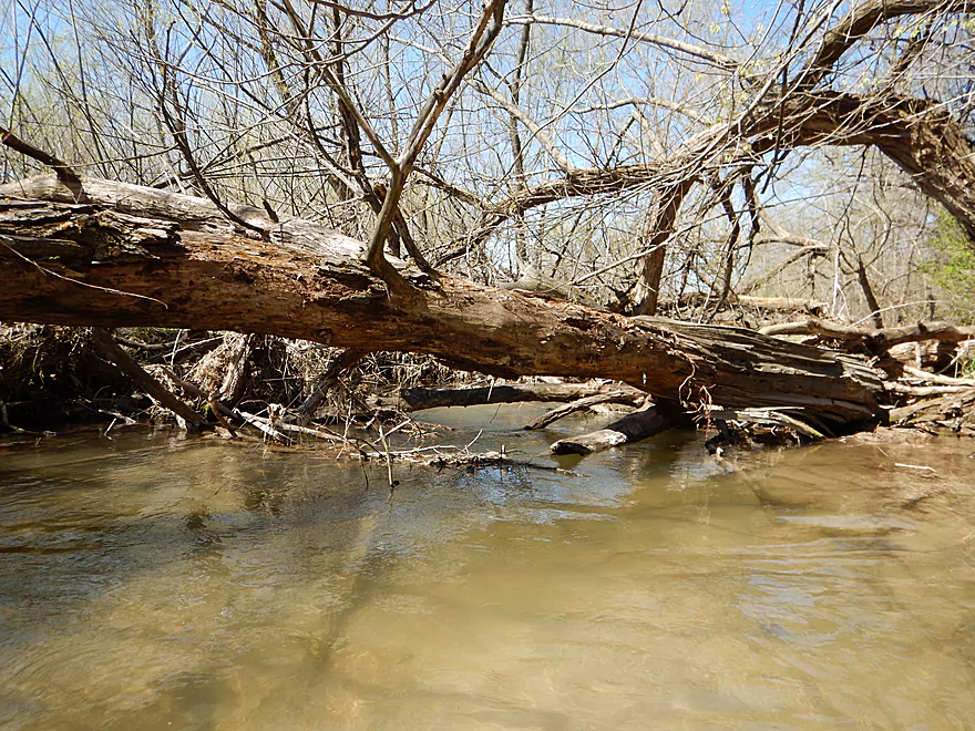
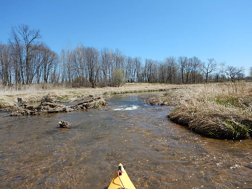
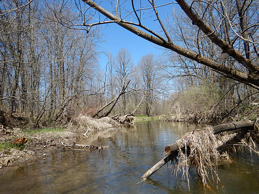
Log jams. Portage #1 or 3.
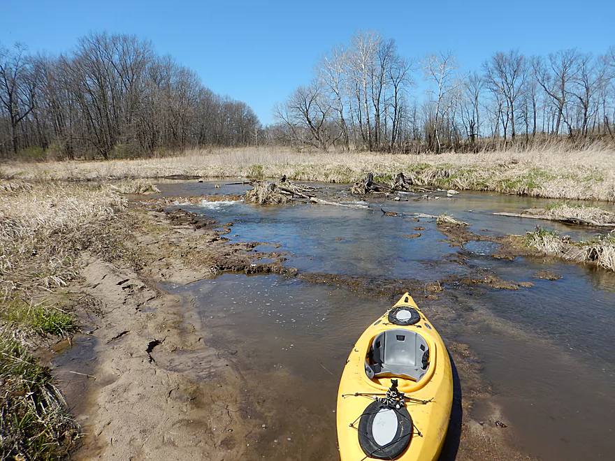
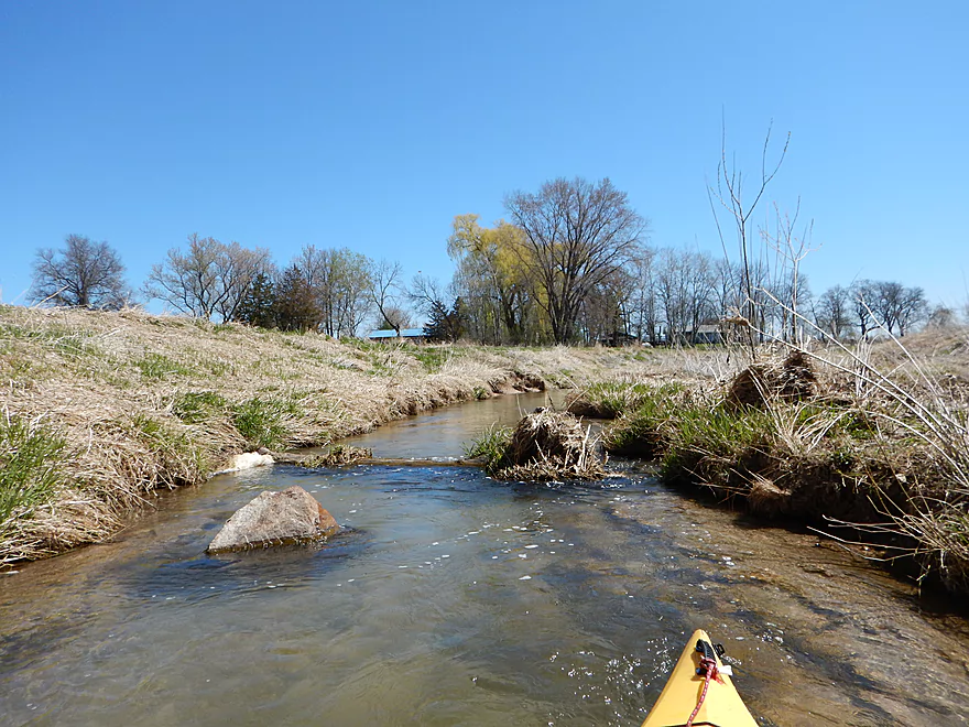
Cool clay stained gravel
Kind of unique
Fish escorting me to a trap
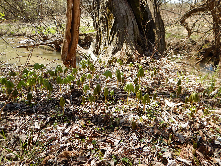
Mayapple colony…a cool spring ephemeral
Portage #2 of 3
Was amazed with the water clarity
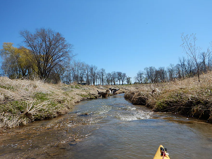
Time for our first light rapids
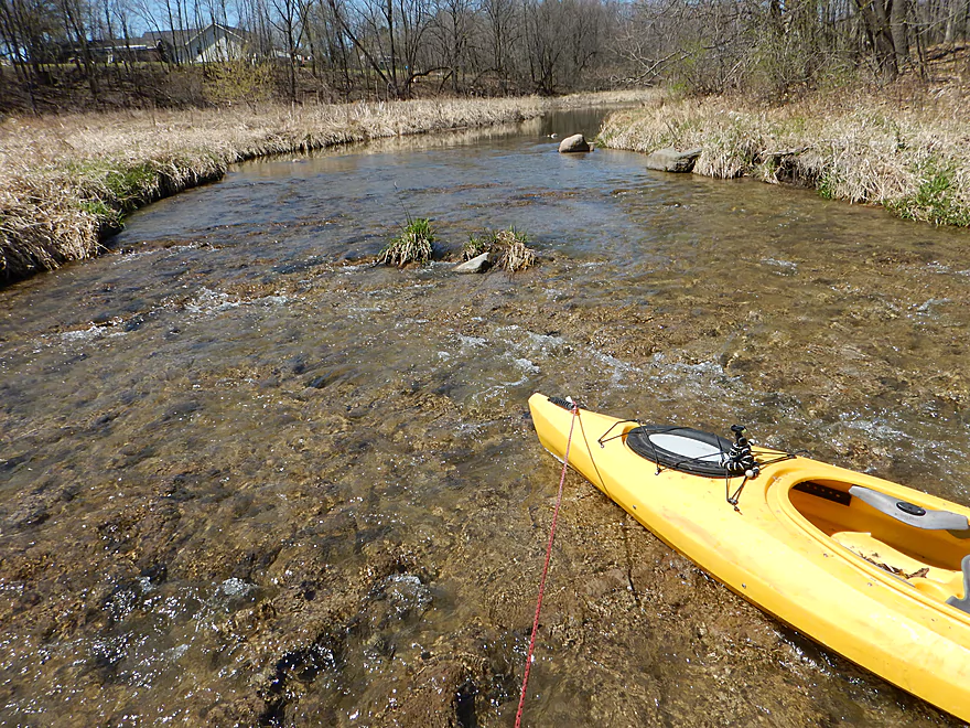
Pretty shallow though
Would be fun in higher water

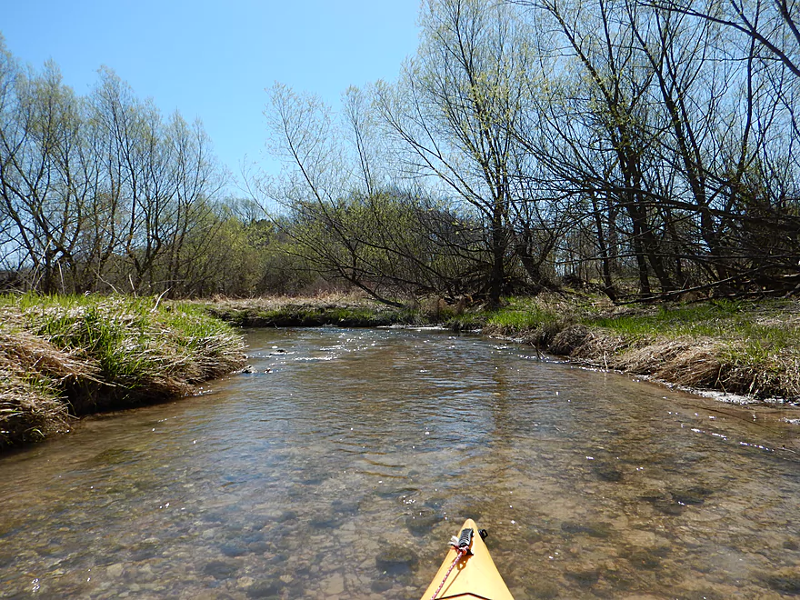
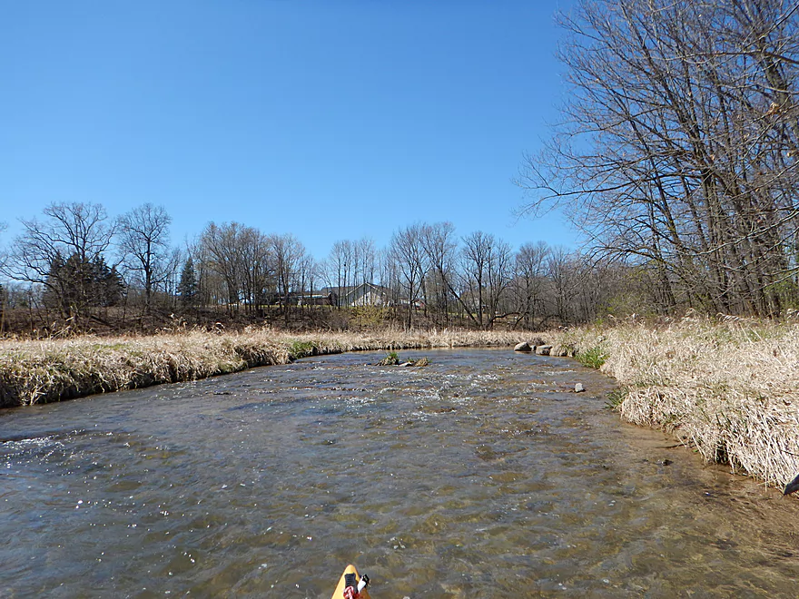
More riffles
Kind of bumpy going down
Now entering the fast lane
Pretty easy

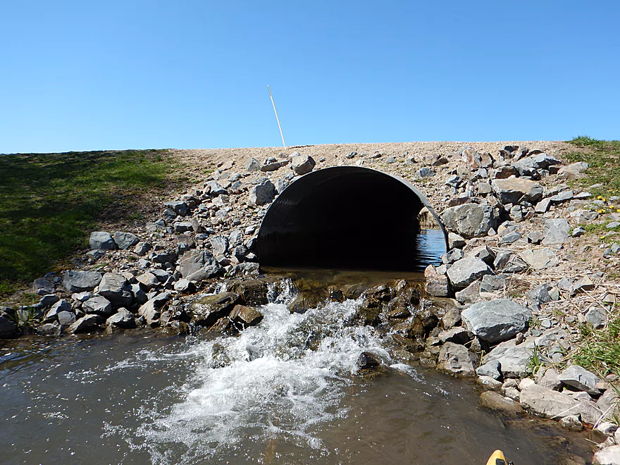
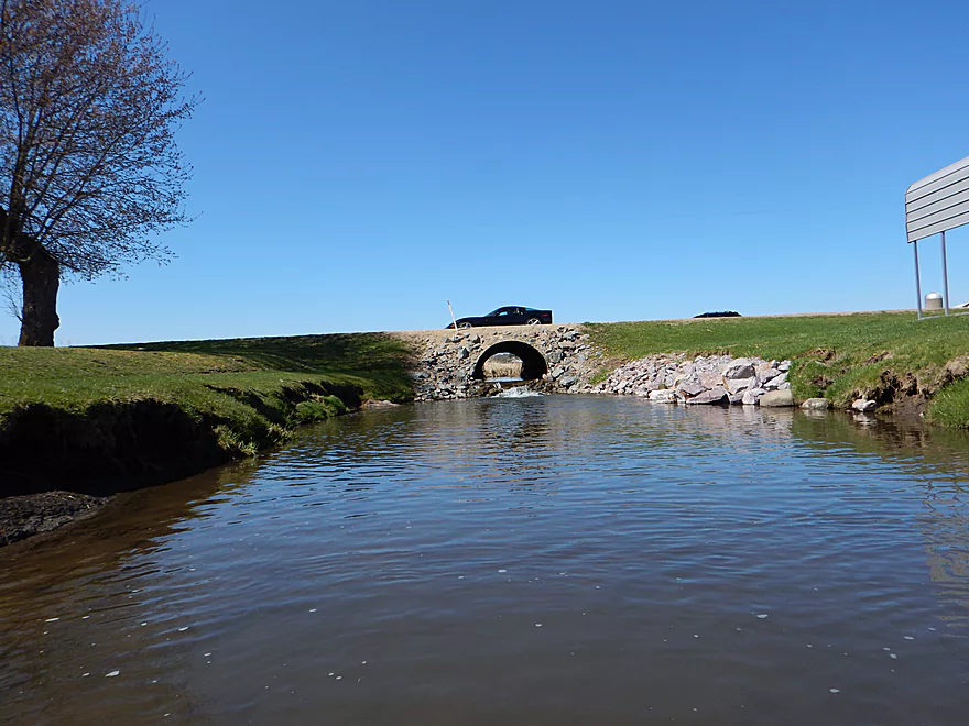
Biggest ledge on creek
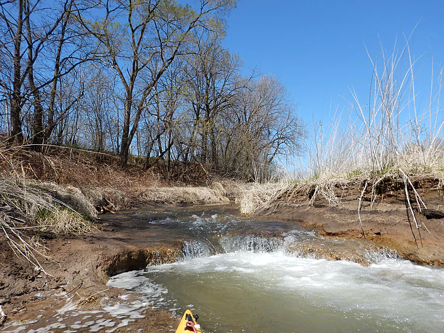
And I got wet…
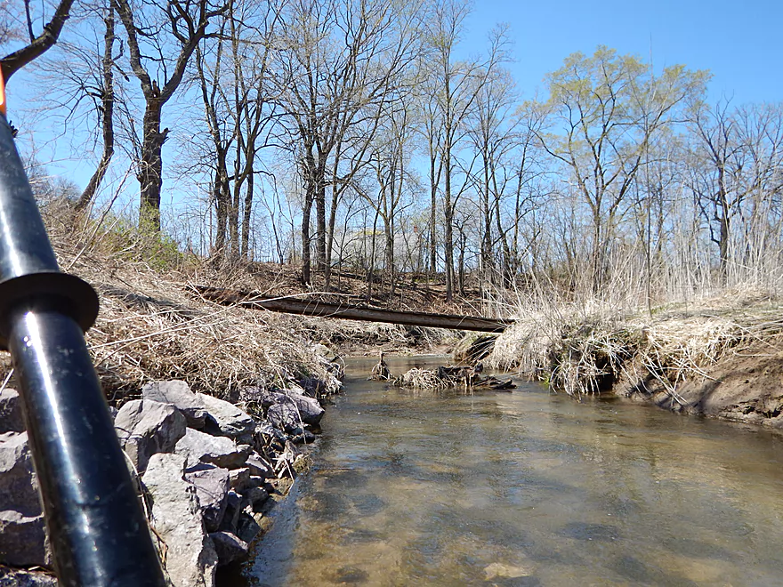
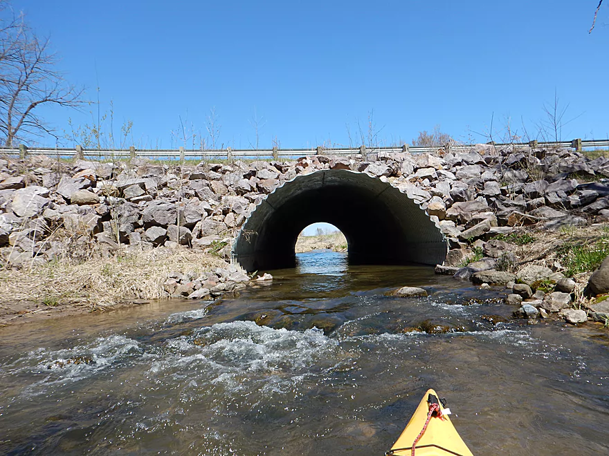
In high water ducking the bridge and dodging the metal might be hard
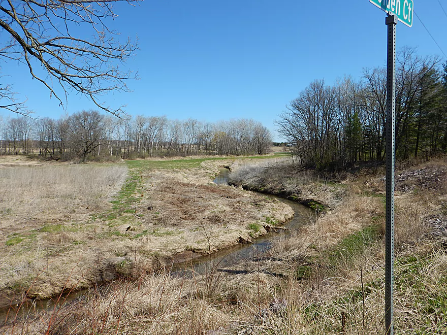
Easy to scout first from the road Golden Ct
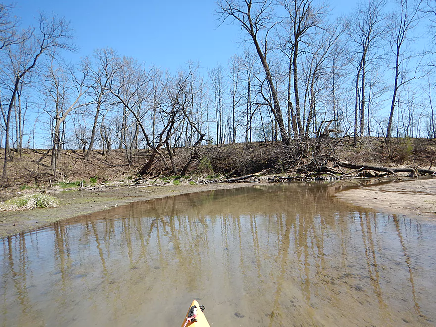
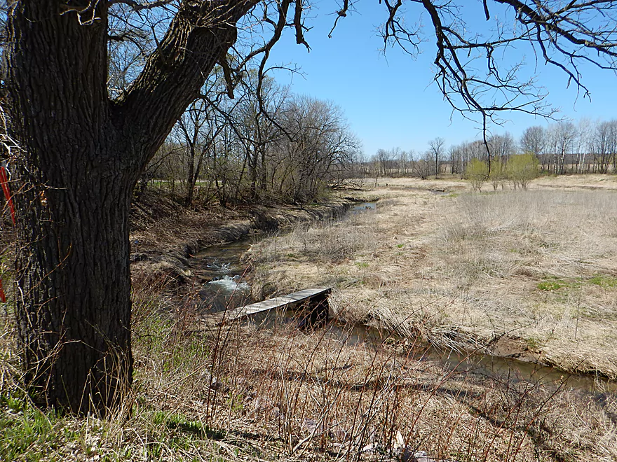
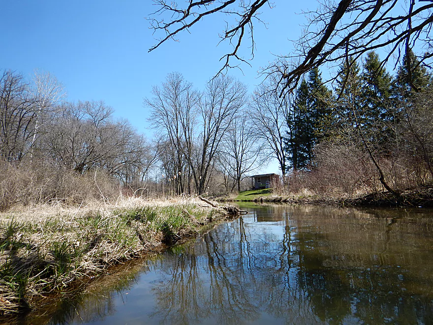
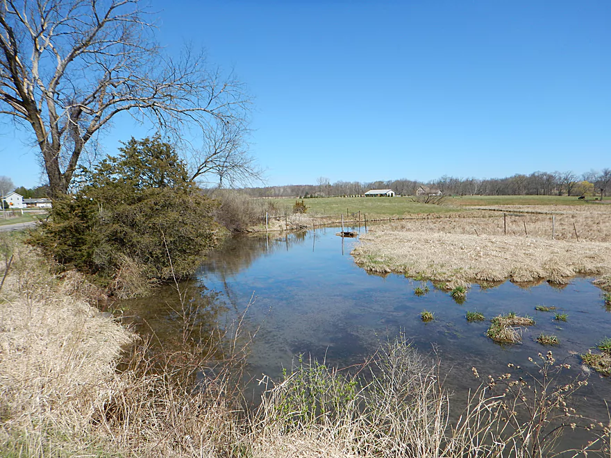
Overlooking the old flowage (now well drained)
I hopped over that (several instances of logs like this)
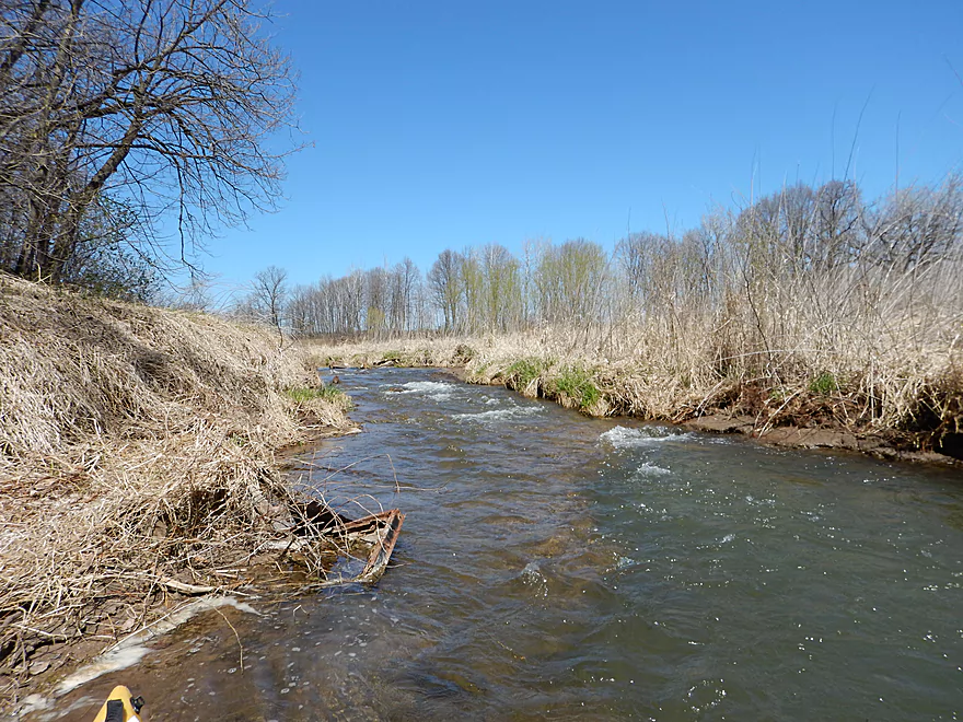
Yet more riffles
Cool micro-waterfall over clay stained rocks
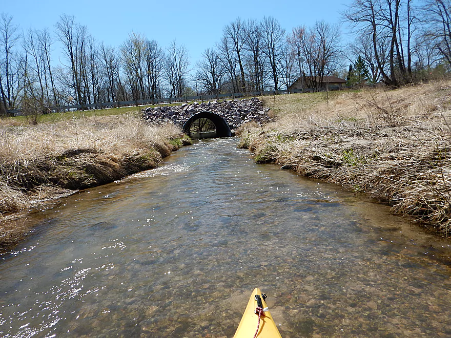
Old dam is now just just a bridge on the road 3rd Ave
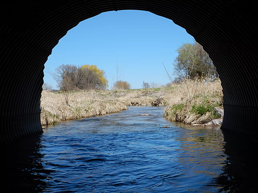
Tunnels are always fun for photography
Looking back over what used to be a decent flowage
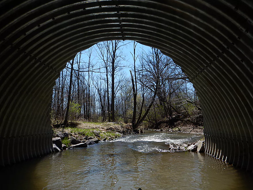
Coming out of the tunnel
Eye of the creek is crying
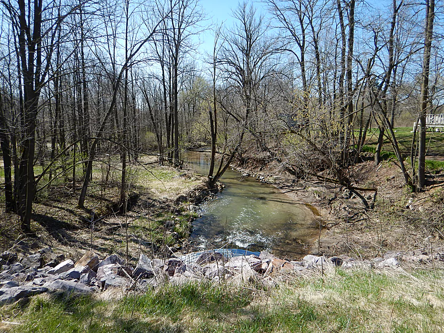
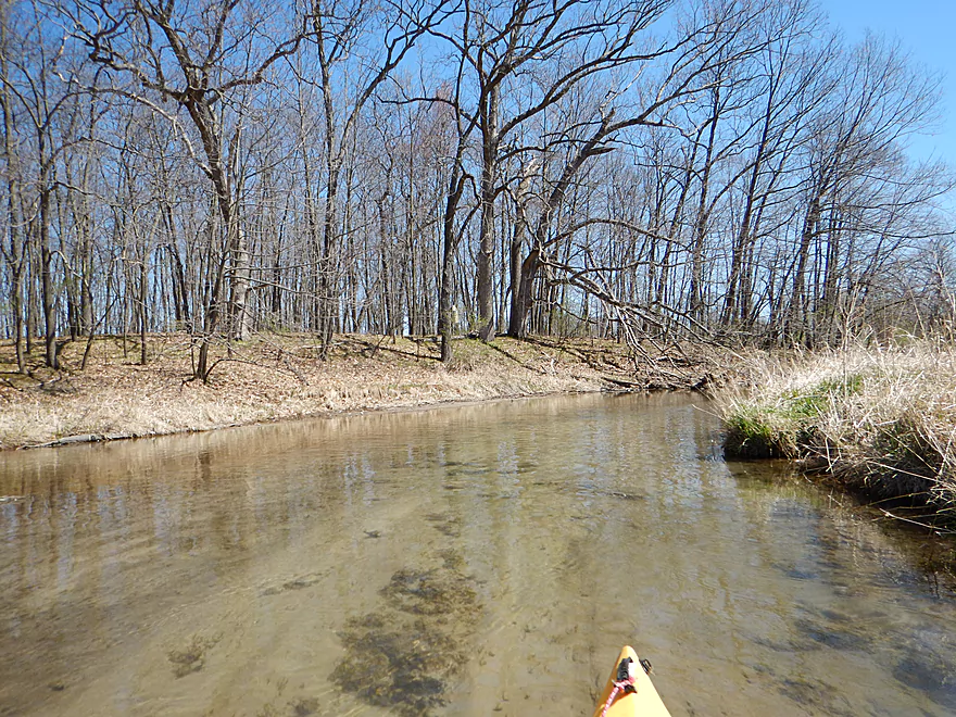
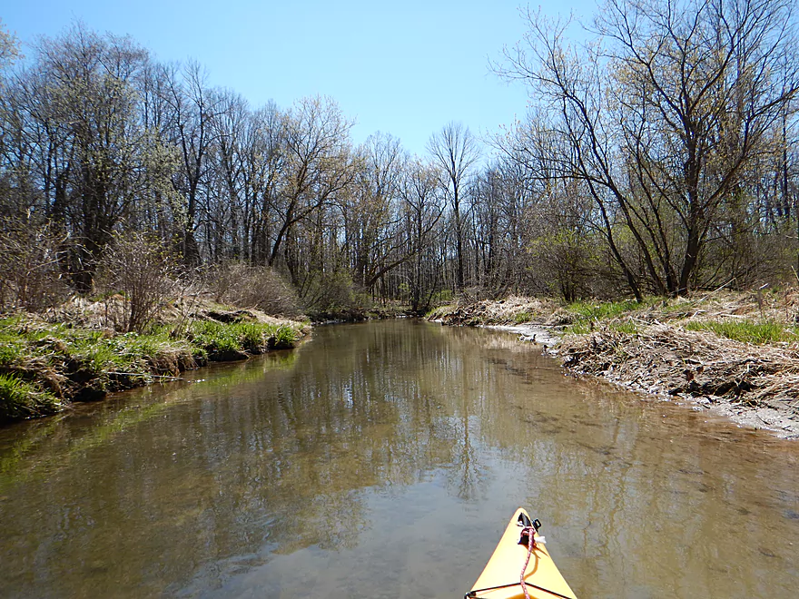
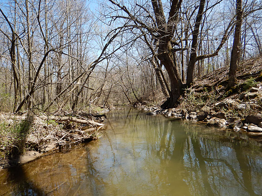
Now entering a nice wooded section
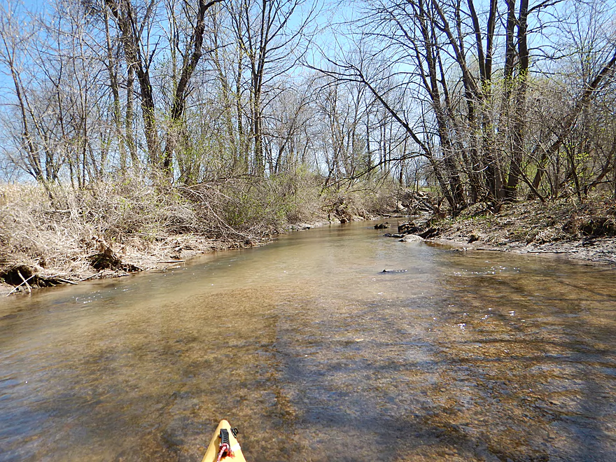

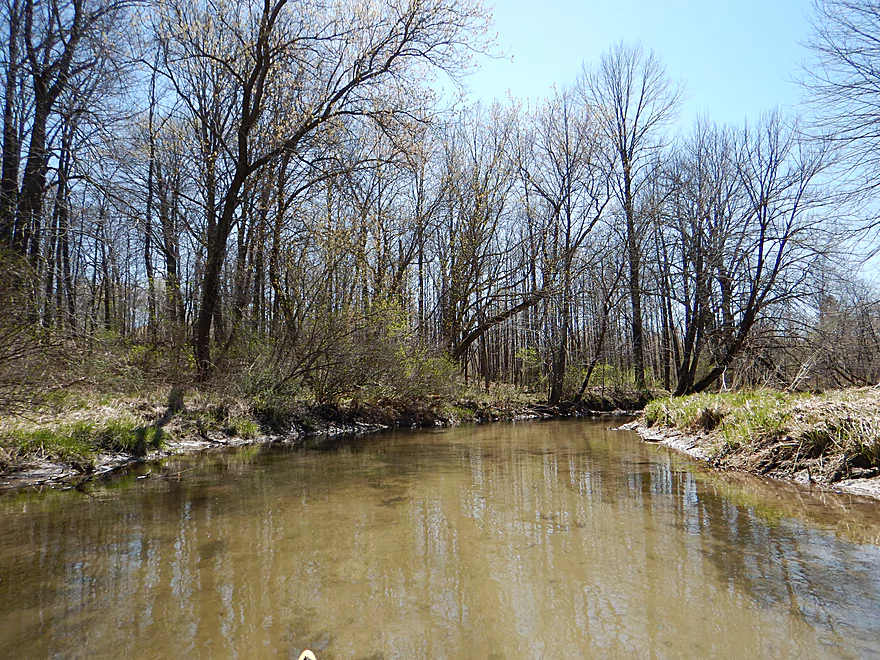
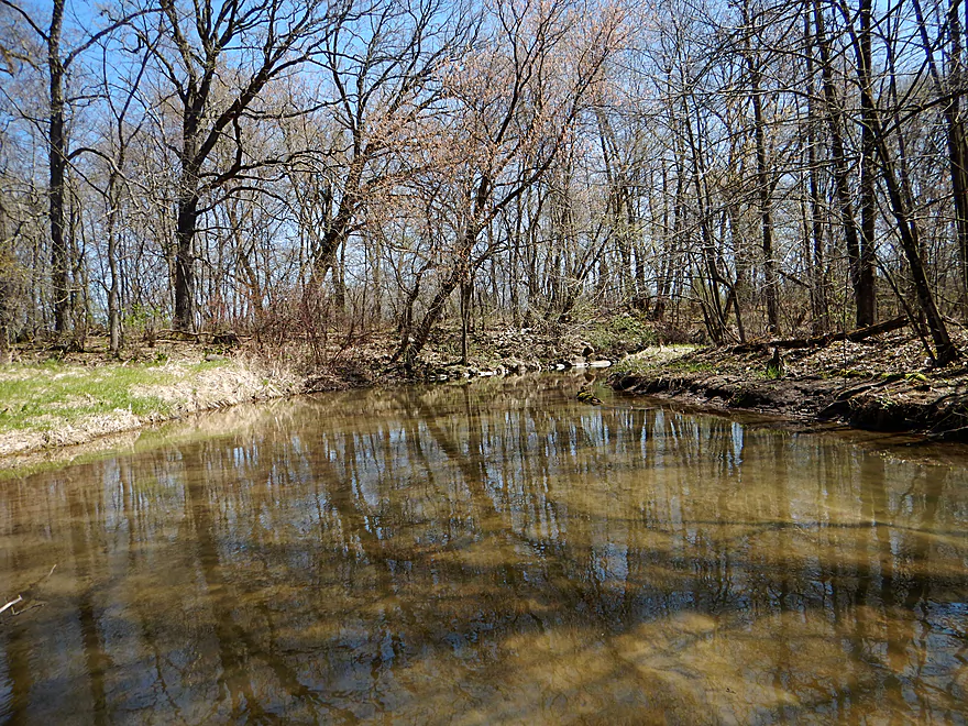
Still great clarity
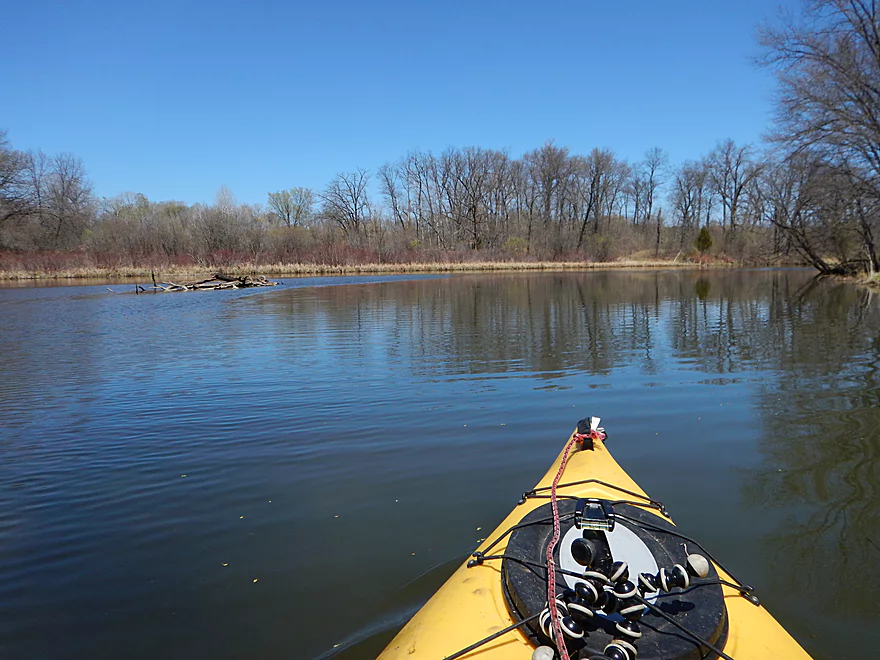
Lot of evidence of log jam clearing
But not entirely. Portage #3 of 3.
Last of the riffles
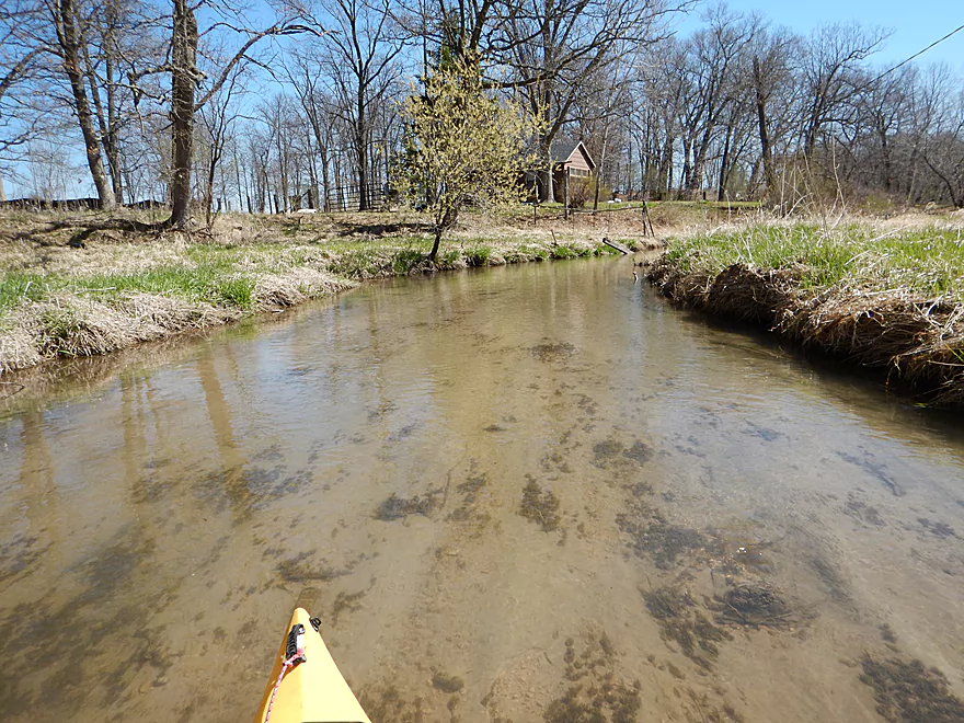
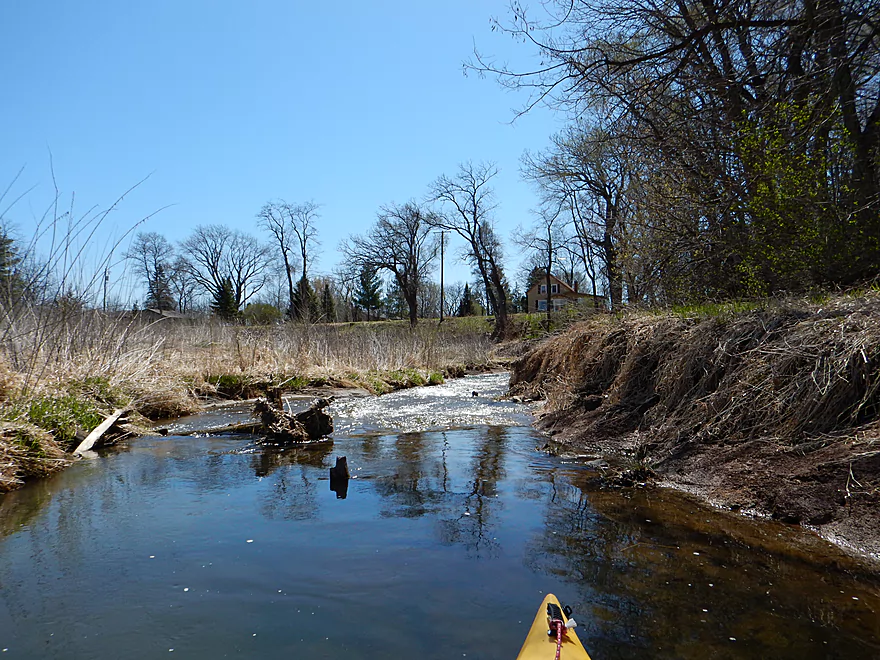
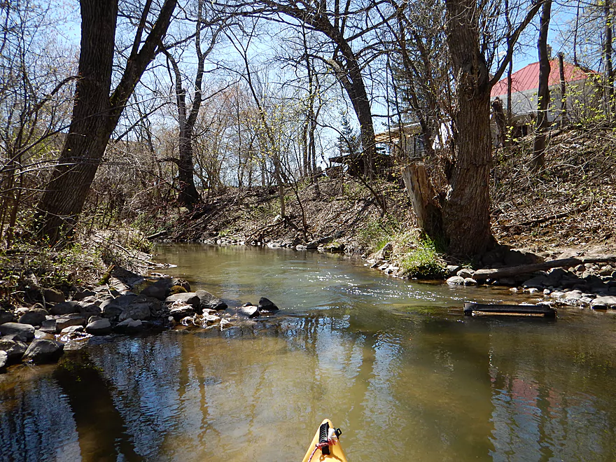
Some houses along the shore
Would be scenic in the summer
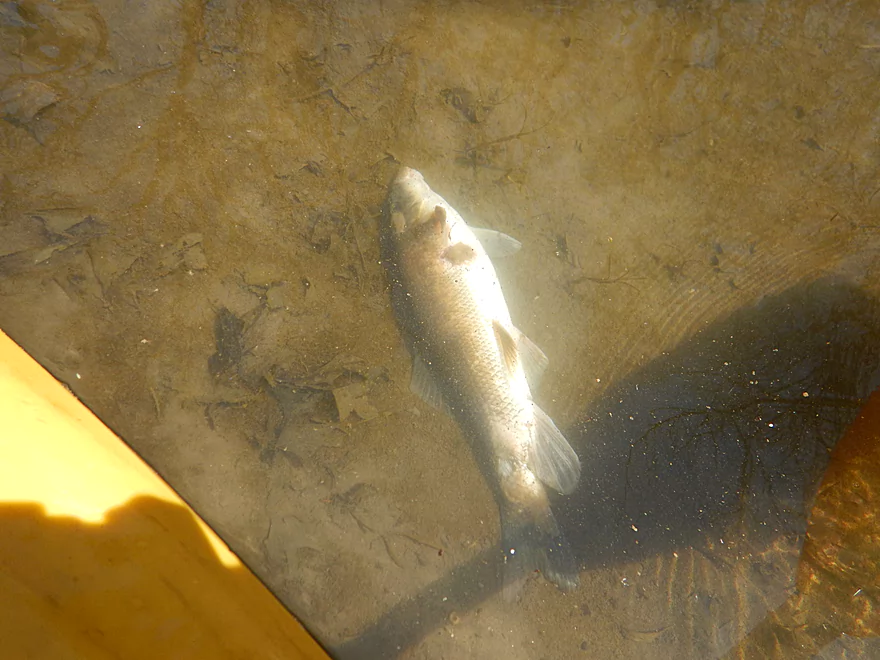
It actually was not dead (maybe just a little tired)
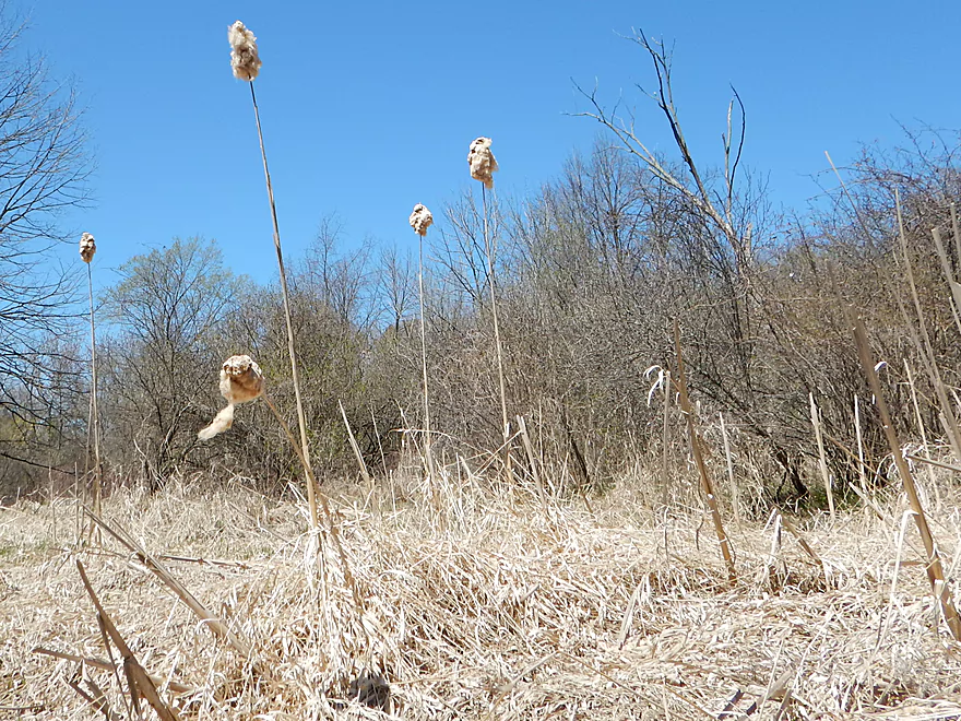
Mutant cattails
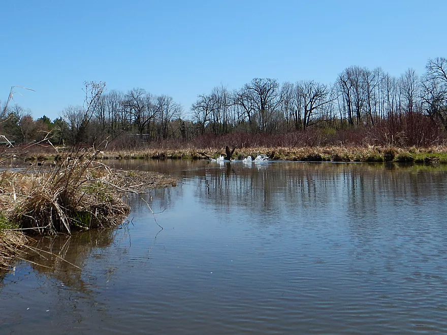
Many geese on the trip
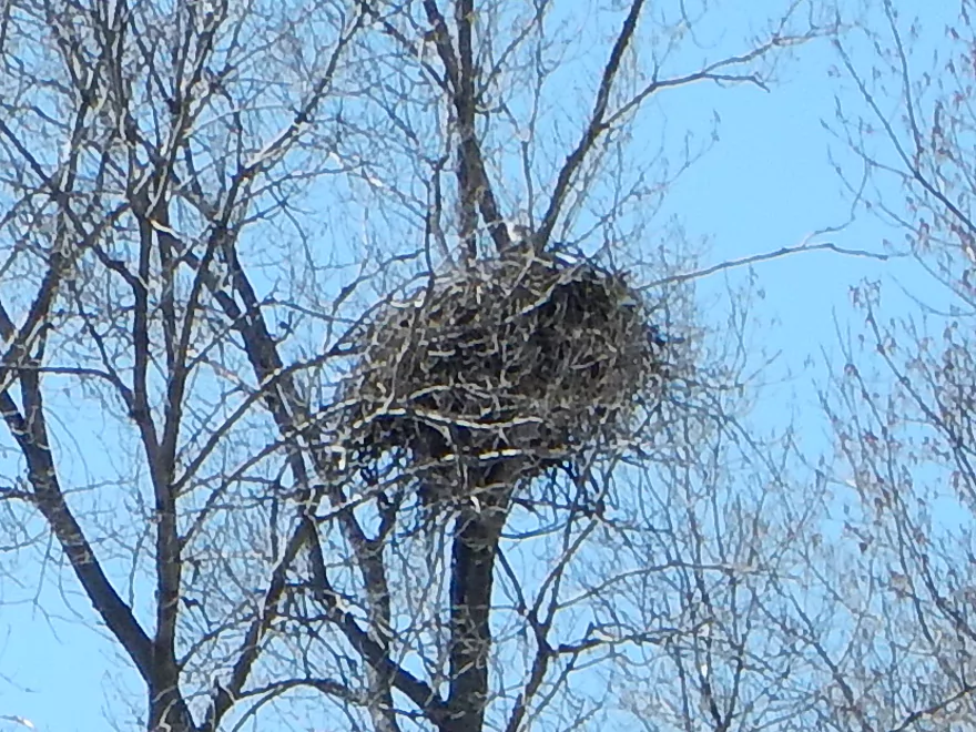
Huge eagle nest with an eagle visible (camera has HORRIBLE zoom)
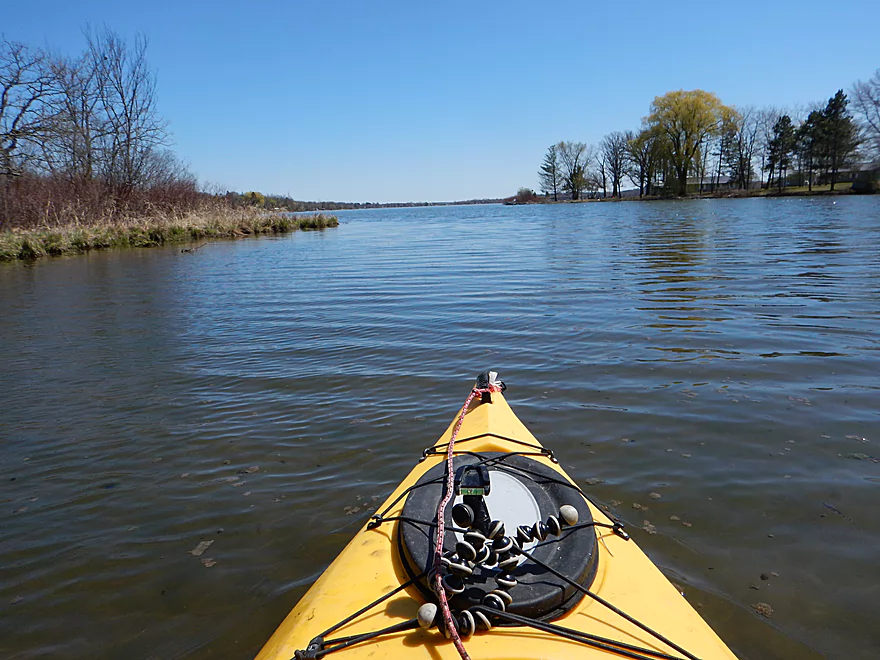
Entering Lake Mason
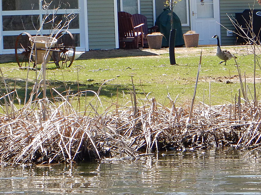
Canadian goose harassing a domestic white goose
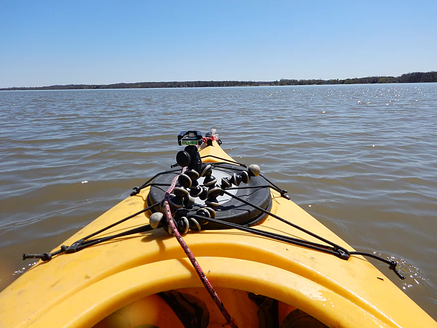
Lake Mason was maybe half the trip, but you only get one picture!
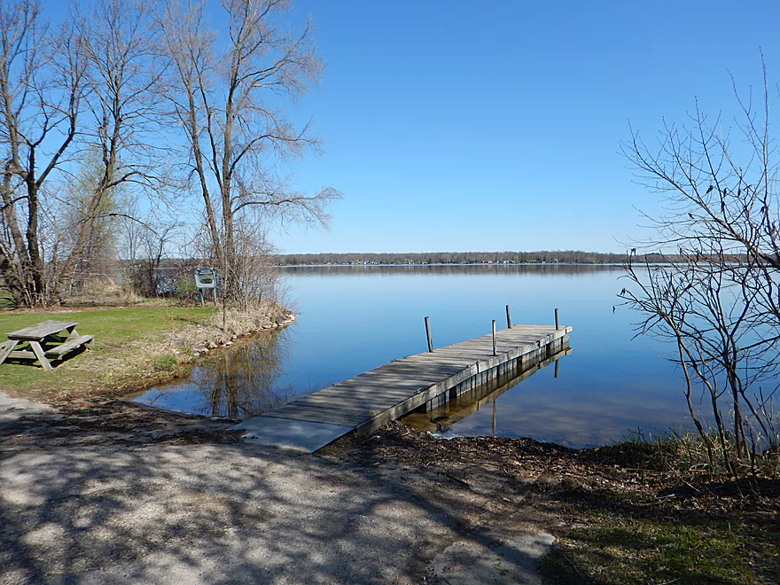
Nice public boat ramp
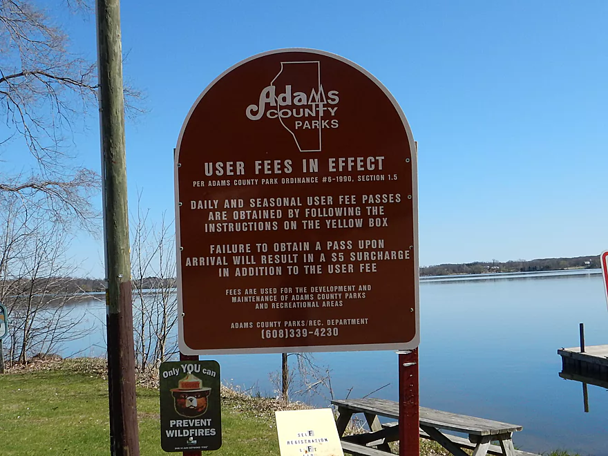
Just remember to pay your fee
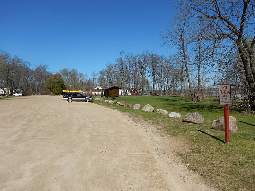
Good parking and outhouse
Scouting the creek above Golden Ave (too shallow and wired)
Plus bumpy rocks below Golden Ave
Big Spring Creek

A cool little trout stream located north of Portage . Perhaps a little small for most sensible paddlers, but most sensible paddlers won’t know what they’re missing.
The logical put-in at Golden Ave is bad (too rocky). So instead, I used a nearby creek tributary off of Hwy G. Ok shoulder parking, but not very inconspicuous. I launched on the west side of Hwy G which was a mistake. My 10.5′ kayak barely fit, and at the end of the culvert I got stuck on the rocks. Put in on the east side instead.
The public boat ramp off of Grouse Road is very nice with an outhouse, good parking and some nice out-of-the-way spots to lock my kayak/bike (always on my mind!). It is an Adams County park though and they ask 3 dollars to use it (there is a self-pay station there). If you are the frugal type, you can take out by the Hwy 23 bridge just to the southwest. This is a good option and is popular with local fishermen (which, combined with the lack of good locking spots, meant I didn’t use it).
Easy bike shuttle at 3.9 miles with just minor hills. Lot of unchained, loud, big aggressive dogs though. While I didn’t have any encounters on my bike, they gave me grief from my car and kayak. Should have brought my bear spray in hindsight…if for nothing else than peace of mind.
There were numerous squeakers that I had to contend with. Ultimately I just had to portage 3 log jams, which weren’t too bad because the banks are mostly flat. There are rapids on the creek that develop into whitewater during high water (probably just class 2). You can scout the most serious section from Golden Court Road easily enough. Lake Mason can be a tough paddle on windy days and will even create whitecaps, so be mindful of wind direction and speed before doing the trip.
Creek was pretty shallow and I don’t recommend running this during late summer dry periods (although spring-fed streams tend to be consistent so I could be wrong). At my depth, hangups weren’t a big concern except for the riffles, and I had to get out several times for these. Maybe wait 3-4 days after a medium rain. Or if you are going for a whitewater paddle maybe 1-2 days after a heavy rain. Current was zippy for the first few miles at 6.4′ per mile, but of course died out close to Lake Mason. The creek at times gets very narrow and long boats might not be able to take some of the tight turns so to speak. My small boat at 10.5′ had no problems (except at the put-in).
Super, super water clarity. The substrate changed a lot. Sometimes clean sand, sometimes an attractive clay film, sometimes gravel and sometimes silt. The red clay is probably a by-product of the flowage and will probably eventually be flushed downstream as the creek naturally heals itself over time from the effects of the dam.
Highlight was the number of fish “herds” that were easy to see in the clear water. Very cool. Lot of waterfowl of course including geese, mostly ducks, some eagles (and a massive eagle nest), lots of seagulls, green herons, a swan, some noisy chickens and domestic white geese commingling with the Canadians. Saw the first dragonfly of the year as well as a number of snails.
A little background here first before I get into the actual trip. Last year I had paddled the South Branch of Neenah Creek and had been intrigued by the upstream portion (west of Lake Mason) called Big Spring Creek. Basically it was a cool little stream that is supposedly created by two underwater springs which produce remarkable water clarity. In fact the water was so good, Nestle (a giant food corporation) tried to set up a well here that would pump 720,000 gallons daily! That was a huge amount which would have dramatically affected the ground water table (not to mention Big Spring Creek, Lake Mason and Neenah Creek). The locals fought back and were able to stop this.
Then interesting development #2 happened. The Big Spring dam during a local flood was creating large geysers (a sure sign that it was in trouble). The state condemned the dam and in 2008 it was removed. Since then the creek has been restored to a clean/cold/riffly trout stream that is very inviting. You can see before/after pictures here.
Being a small creek, I was worried about running this with enough water, so on April 10th after a lot of rain, I scouted this after work and was surprised to see a little whitewater creek with a number of class 2 rapids. That being too much for my liking, I waited a few weeks for this to settle back down and am glad I did.
After putting in by Hwy G (not great but workable), I was immediately surprised with how clean the creek was. There was some mud in the banks and some clay stains on the rocks, but for the most part the water clarity was suburb. Something that will undoubtedly only get better over time as the creek continues to rinse out old the old flowage silt that had built up over many years.
There were some random obstacle on the creek, but it wasn’t too bad for the most part (granted I used a small boat). While the West Branch of Neenah Creek was a very open wet-grass paddle, this was not (despite the lack of trees) and had a very different character with steeper banks and a narrower/faster channel.
One of the more enjoyable aspects of the trip were the multiple riffles and small ledges. Undoubtedly much more interesting after a heavy rain… In my case I got hung on most of these, but they were easy to stand up in and pull my boat over. The most significant ledge is simple to scout by Golden Court Road and I highly recommend doing so before doing the trip. There is a tricky foot bridge (easy to duck under at my depth, but perhaps not at high depth) and some metal garbage right under the foot bridge that was tricky to squeak by. You might be able to go over this in high water…might not!
For log jam portages there were three, but I didn’t consider these a major deal. But I have a lot of experience with these. If you have a small boat and a little determination they shouldn’t be a problem (rope always helps immensely with log jams).
The old dam resides where the 3rd Ave bridge is now. After you cross under the road, the creek dramatically changes character as it enters a wooded section that was never affected by the flowage. The creek here is still very clean and not as fast, but still has some occasional riffles. All in all very pleasant.
Then gradually the Lake Mason flowage kicks in and the creek becomes bigger and slower until you reach the mouth. Lake Mason is a big boring lake and it would take me about 1.5 miles of open lake paddling to get to my boat ramp. I shouldn’t complain as I had no headwind, no waves (Lake Mason can get whitecaps) and no other boaters (unusual for nice days).
In conclusion, a fun little trip that I would give four stars if it wasn’t for Lake Mason. For better rapids (but inferior water clarity) consider running this creek after a big rain which would provide a totally different and unique experience.
You’ll see the occasional house or two in the first mile but it isn’t so bad. In the wooded section, there aren’t too many dwellings and most are away from the water. Lake Mason is of course an artificial flowage with a ton of lake-side real estate development. The local area is actually a high density low-income neighbourhood so you’ll come across your share of people. There has been considerations to remove the Lake Mason dam, but unfortunately I don’t think these efforts have gone anyway. Normally this lake is bustling with motor boat traffic, but I encountered none. Only distraction were the lawnmowers that sounded like helicopters and could be heard throughout the entire lake.
Being such a short trip, I’m not sure you can subdivide this too much without missing out on the nice sections.
For upstream options, I don’t think there are any. The creek by my put-in forks and each branch seems too shallow to run. Neither of the twin springs seems accessible from public land as well.
To break the trip in half (which I don’t recommend), you could put in by the town hall which has public parking and access by the creek (although a steep slope that may necessitate rope if launching).
For taking out, I wish there were a better option than my Lake Mason boat landing which is located deep into the lake. I believe there is a landing on the north central part of the lake that I missed when scouting and have marked it on the map (although I seem to recall no-parking signs in that area).
For a comprehensive map of water trails in the Neenah Creek watershed, click here.
Main Branch:
- Upstream of Peppermill Creek: I suspect the creek is too congested to run
- 1st Lane (Peppermill Creek) to 1st Court: 1.1 miles. First half is a nice clear open stream but there is congestion after that.
- 1st Court to Seeley Lake Access: 2.8 miles. Amazing clarity, nice riffles and steep hills…but serious logjams issues. Been on my to-do list for a while…
- Seeley Lake Access to West Chauncey Street: 0.6 miles. Mostly pleasant lake paddling with a dam to portage.
- West Chauncey Street to Hwy A: 6.8 miles. My favorite section with terrific clarity, a few fun rapids, and clean substrate…but rumor has it new logjams might be an issue. Reviewed Apr 2014.
- Hwy A to Hwy P: 4.1 miles. My second favorite section. Very nice wetgrass paddle with great clarity and no logjams…best saved for a sunny day. Reviewed Oct 2014.
- Hwy P to Grouse Drive: 6.4 miles. Reviewed Dec 2017.
- Hwy P to Hwy 23: 3.9 miles. A pleasant stretch that starts nice with clear, sandy seeps but becomes less interesting when it flows though the marsh.
- Hwy 23 to Grouse Drive: 2.5 miles. A mediocre stretch…less marshy than before, but still very open.
- Grouse Drive to Muskrat Road: 3.1 miles. Creek slows down and widens significantly. Reviewed Feb 2017.
- Muskrat Road to Hwy CX: 4.6 miles. A big open wetgrass paddle…at times pleasant with good water fowl, this is likely my least favorite section. Reviewed Nov 2016.
- Hwy CX to Dixon Road: 3.1 miles. Mostly open but with some possible jams.
- Dixon Road to Hwy CM (on the Fox): 1.2 miles. Final stretch with take-out on the Fox River.
Tributaries:
- Big Spring Creek: A small, but neat creek with incredible transparency. Reviewed Apr 2016.
- Neenah Creek – South Branch: A slow, simple but pleasant marsh paddle. Reviewed Oct 2014.
- Big Slough Creek: A very slow, broad creek with a lot of history. Reviewed May 2014.
- O’Keefe Creek: Too small to run above Mud Lake, but it is navigable downstream of the lake. Reviewed by Richard Kark.
Trip Map
Overview Map
Video
Photos Size: