
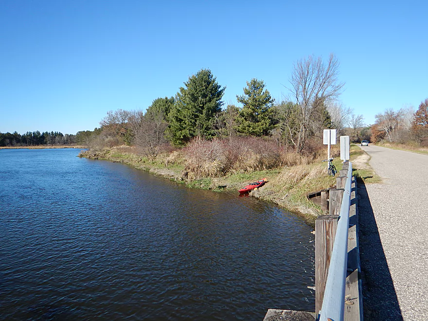
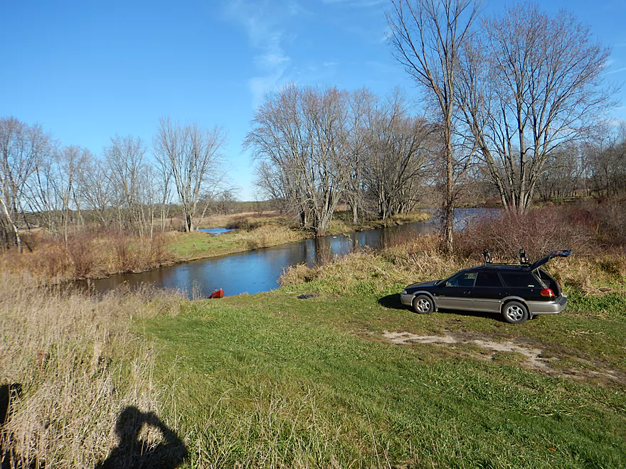
Nice launch area by Muskrat Road
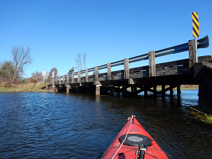
Wisconsin rarity…a wooden bridge
Have to wonder if these fishermen got shocked
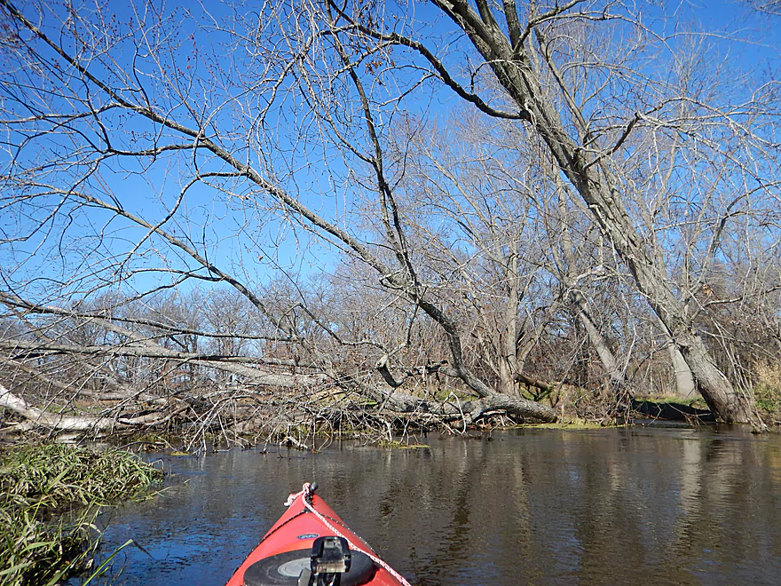
Logjam #1 of 4
Logjam #2 of 4

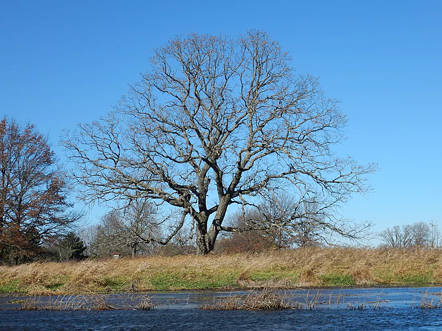
Rare woods…this was mostly open grassland
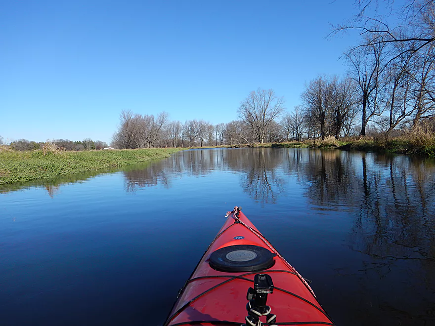
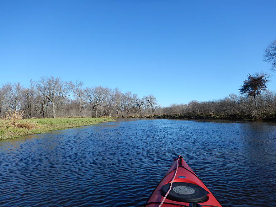
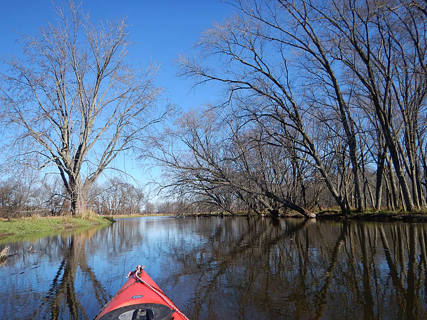
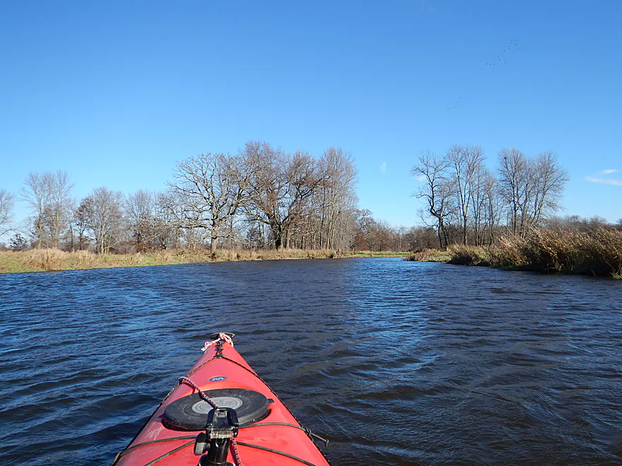
Big broad slow paddle
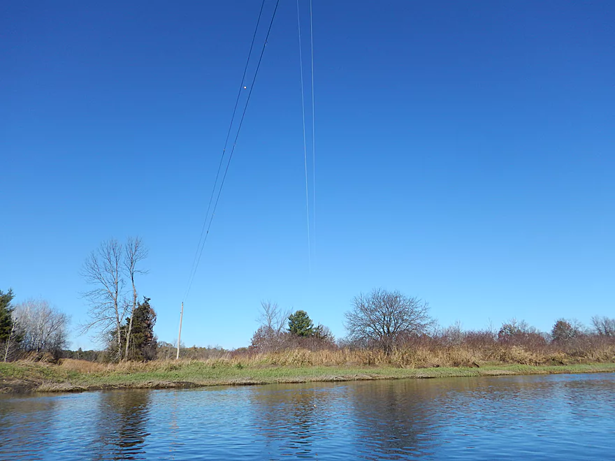
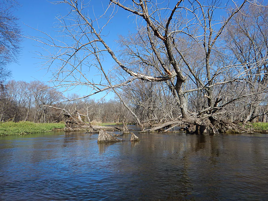
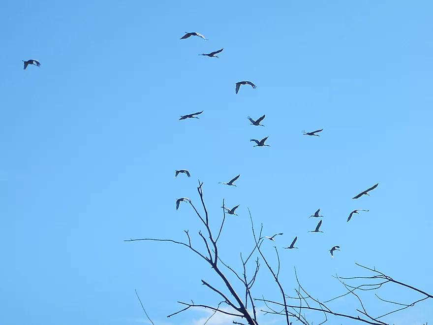
Nature’s fractal
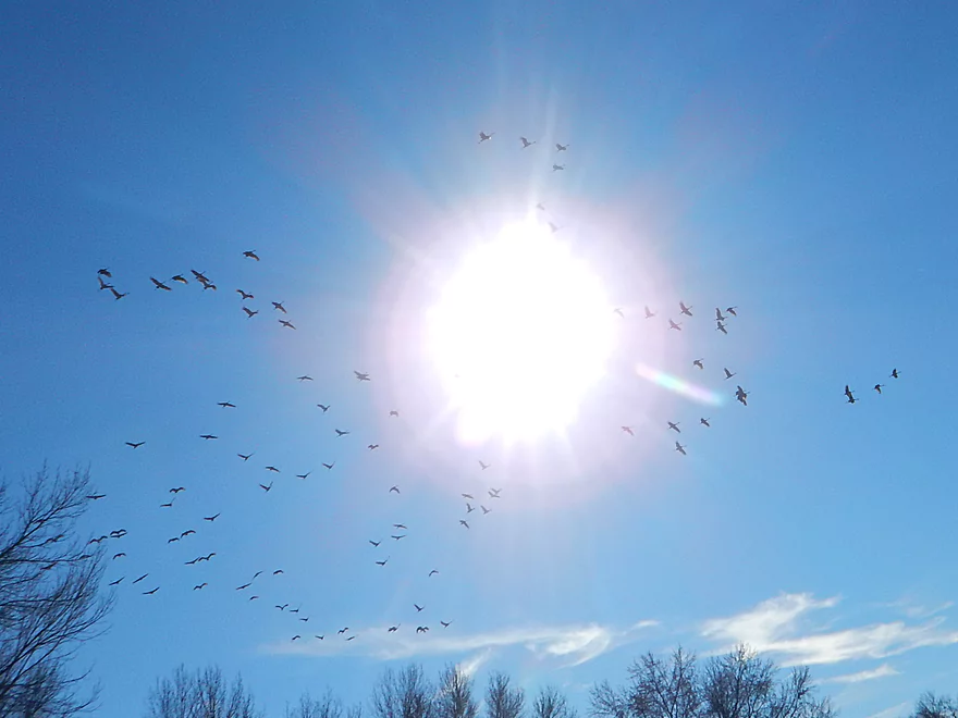
So many cranes on this trip
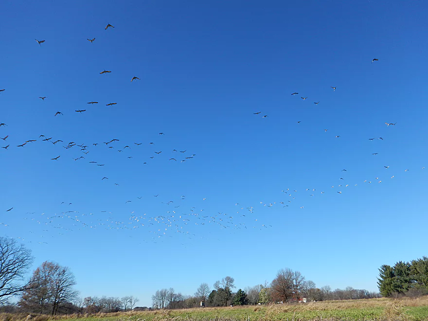
Poorly pictured…but a probably 1000+ size flock of cranes
Was very difficult to get close-up pictures
One of several interesting side creeks
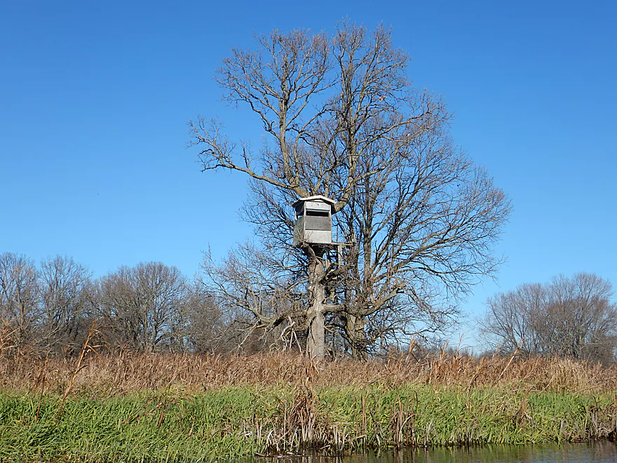
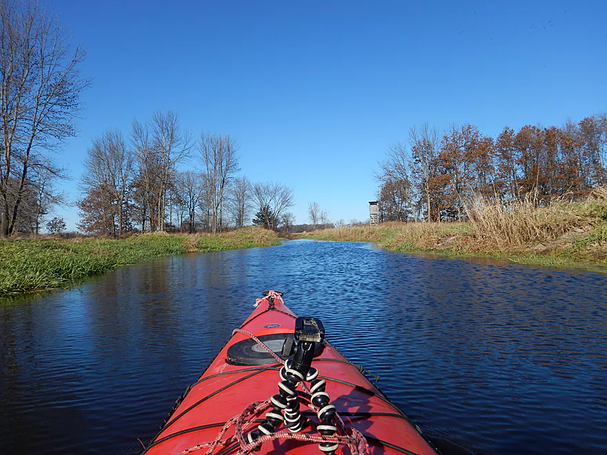
More tree house than hunting blind
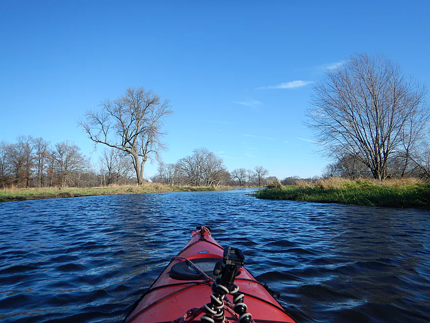
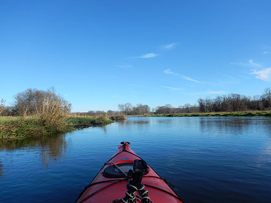
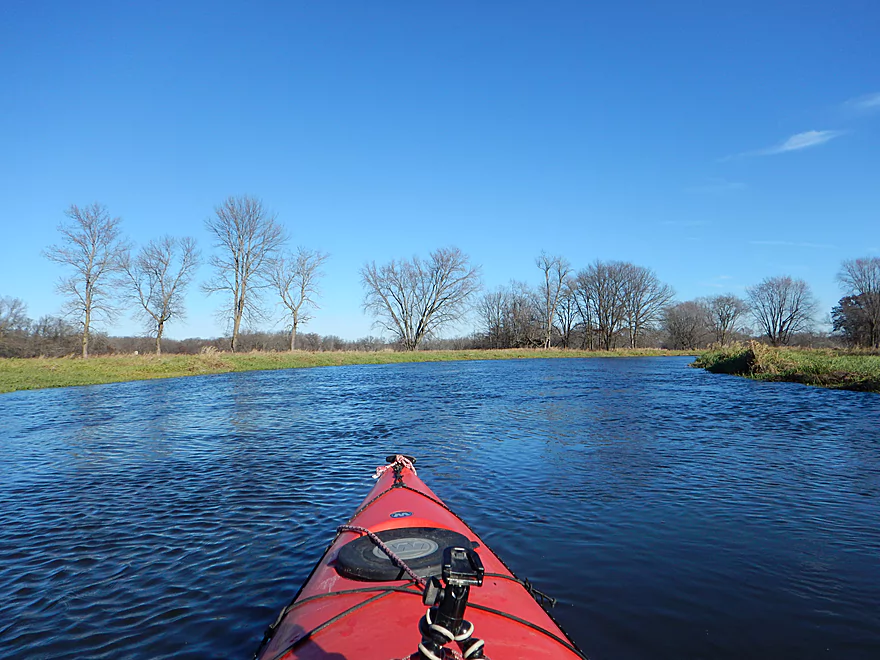
Feels like a lake paddle at times
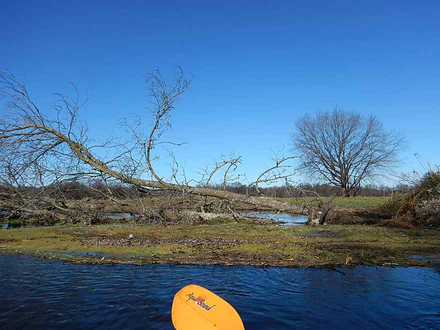
Logjam #3 of 4
Water was normally turbid with some rare exceptions
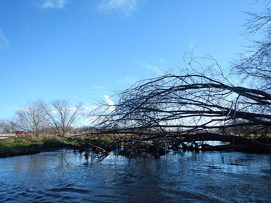
Logjam #4 of 4
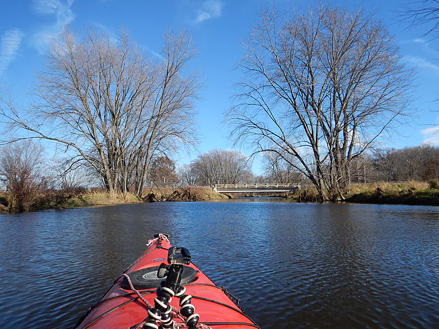
Just past the interstate is Hwy CX
Just a few more miles to the Fox, but logjams lie ahead
Hwy CX has a nice launch area
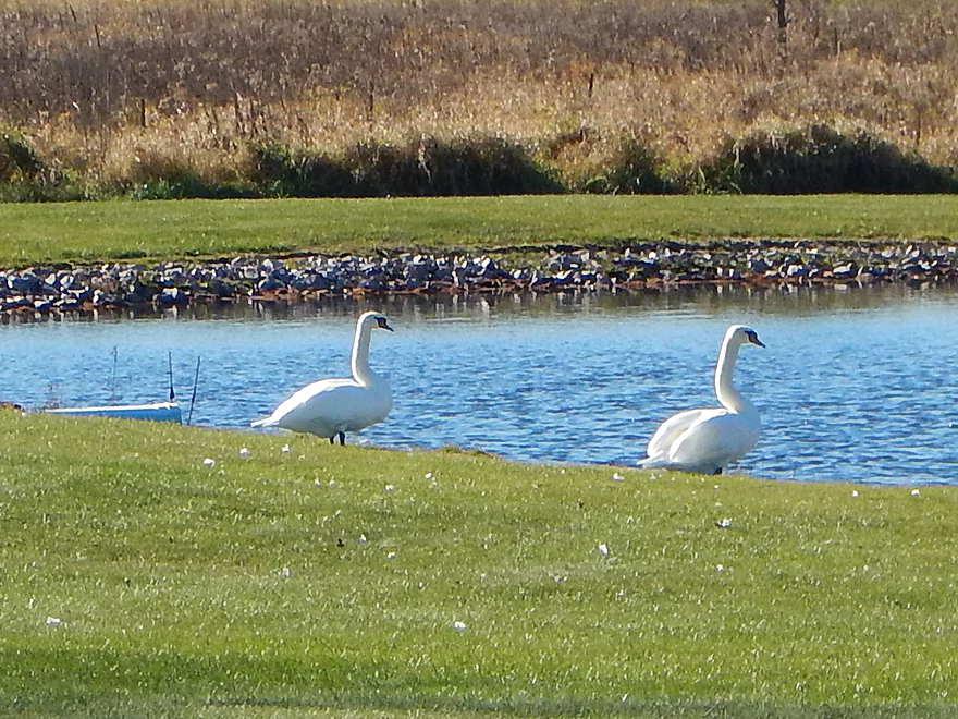
Swans on my bike shuttle
Neenah Creek – Muskrat Road

Neenah Creek is the Upper Fox River’s largest tributary. It’s a pleasant creek that I’ve twice paddled before on the upper section, and was overdue to explore the lower section. Honestly, I knew this wouldn’t be an elite trip and it wasn’t at the top of my checklist, but…a forecast of strong west-to-east winds scuttled my other trip ideas while inversely making the lower Neenah an enticing low-effort trip.
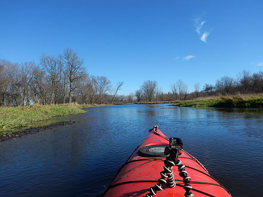
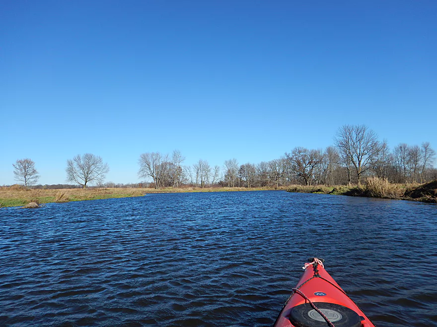
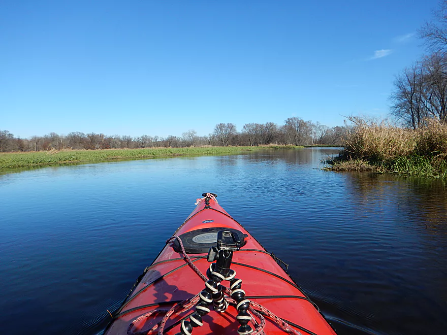
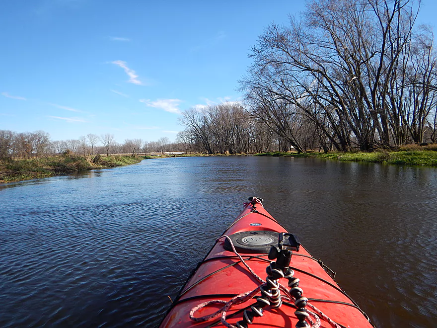
The trip started at Muskrat Road where right away the creek little resembled my previous trips. Here the channel is broad, deep, and with a slow current. The shoreline is sort of floodplain forest without the forest…just no hills, very flat, and with a lot of grass on top of mud banks. There are trees, but they are sparse and generally receded from the banks.
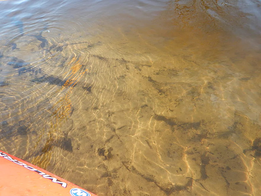
In previous trips, a cool highlight had been the water clarity, which allowed you to see the clean sandy bottom. Much of the Upper Fox and Neenah Creek watersheds are like this because they flow through the Central Sand Hills. Not the case on the Lower Neenah however as its deeper depth really hid the substrate (which was an uglier, muddier sand anyways).
The best part of the trip was the waterfowl which included geese, ducks, turkeys, a crow and hawk dogfighting, but most importantly, cranes. In fall (typically November) cranes will cluster into large groups numbering in the 1000’s to prepare for migration. Wisconsin has several “staging areas” where this occurs and Lower Neenah Creek just happens to be one of them. It was quite spectacular to see (and hear) so many cranes in such a small area, with the highlight being a ginormous flock that buzzed low and directly over my boat.
In summary, I probably can’t recommend this trip. The scenery is just too monotonous, too much grass, too little current, too few trees…and the few that were there, were in the water (four major logjams). Instead do the upper portions of the creek, unless you are a local or are interested in seeing waterfowl.
Good access off Muskrat Road. Easy to park on the shoulder and launch off a grassy bank northwest of the bridge.
You can’t really take out by the interstate, but just east is Hwy CX and a nice pull-off for paddlers southeast of the bridge. Do note…the pull-off is VERY steep and has big ruts. My AWD car was spinning its tires as it barely got out and these were dry conditions. Parking on the shoulder is a good alternate option. Also note that the water here is very deep at the launching area which makes getting out difficult for tippier kayaks. There are no outhouses at either launch.
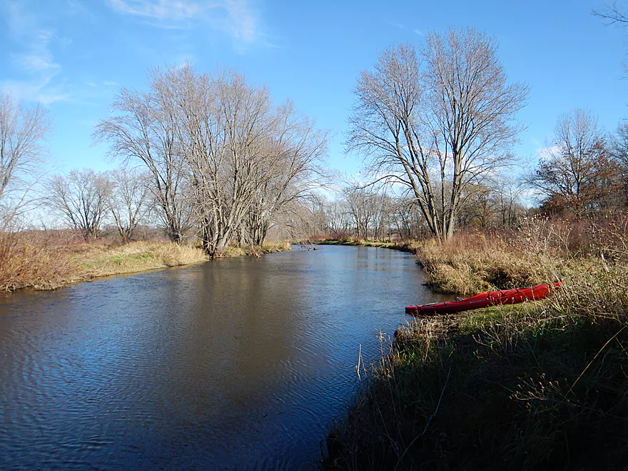
If you are interested, you can take out 3.9 miles later at Dixon Road (logjams may be an issue though).
Or you can continue even further to the mouth on the Fox River and then disembark at Hwy CM (1.6 additional miles).
The bike shuttle was 3.9 miles and took 32 minutes. Pretty easy shuttle route with little traffic and virtually no hills.
Generally speaking this is a safe river with slow current. Surprisingly enough, there are logjams though. I’ve marked all four on the map and while I was able to hop over all of them, they would have been very easy to portage on the shallow banks.
This is a very open channel, so be mindful of wind direction and speed. Don’t paddle into a headwind 10+ mph for example.
While Upper Neenah Creek is very shallow, lower Neenah was very deep and I doubt it ever gets too shallow to run. There is no gauge on the creek, but for reference I’ll use the Fox River at Pardeeville Gauge (not a great correlation because Neenah is more volatile than the Upper Fox).
- 7.0′-7.5′: Typically the lowest the creek gets in a year. Easily plenty navigable.
- 7.6′ to 7.8′: Probably an average depth. My last trips were done in this range with this trip being 7.8′
- 7.9′ to 8.0′: The creek is on the high side and about to burst its banks.
- 8.1’+: Banks should be overflowing at this point.
Again, a great trip for birds which included: turkeys, a hawk and crow dogfighting, ducks, geese, two swans, what looked like a pelican, and some of the largest flocks of cranes I’ve ever seen.
Neenah Creek marks the last blog entry for 2016 from WisconsinRiverTrips.com. Thanks to everyone that followed the blog this year. To be notified when I start doing 2017 reviews, make sure to subscribe to my social channels including my brand new Pinterest Board. Questions and comments are always welcome.
![]()
![]()
![]()
![]()

![]()
Most Popular Blog Reviews:
- Yahara River – Deforest (Thanks Karl not only for the guest review but for creating the most popular 2016 blog entry!)
- Billings Creek – The Kickapoo’s undiscovered neighbor.
- Eau Claire River – Dells Park (also my favorite paddle of the year).
- Sugar River – This was a very pleasant surprise.
- Plover River Bevent – A great run…but really the upstream section was better.
- Little Wolf River – An ok paddle, but not comparable to the upstream sections.
Least Popular Blog Reviews:
- West Fork Kickapoo, Bloomingdale – Fun whitewater trip that few read about.
- Pewaukee River – A really neat river prospect in the Milwaukee area.
- Good Earth Creek – Not a marquee destination, but a pleasant paddle.
- Perry Creek – Was surprised this wasn’t that popular…was one of my favorites.
- Mukwonago River – This IS a neat water trail…hopefully I didn’t scare away too many people with the wild rice references.
- La Crosse – West Salem: Kind of understandable.
- Rocky Run Creek – Surprised this wasn’t at the top of the list.
- Montello River – Weak trip…understandable why few read this.
- Fox River – White River Locks: Another mediocre trip.
Best Rapids:
- Little Eau Pleine
- Eau Claire River – Dells Park
- Black River – Christie
- West Fork Kickapoo – Bloomingdale
- Yellow River – Pittsville
- Eau Claire River – Weston
- Waupaca River – Buchholz Road
- Plover River – Esker
- Pewaukee River
Worst Logjams:
- White River – Wautoma
- Rocky Run Creek
- Lawrence Creek
- Kickapoo – Tunnelville
- Little Eau Pleine
- Willow Creek
Best Surprise Paddle:
- Yellow River – Pittsville
- Plover River – Esker
- Billings Creek
- Nine Springs Creek
- Lawrence Creek
Most Harrowing Moments:
- Getting fenced in by wild rice on the Mukwonago.
- Running the Class 3 rapids on the Little Eau Pleine.
- Encountering a pack of wolves on the East Fork.
- Running the Class 3 rapids on the Eau Claire River.
- Trying to portage a bridge and dam under construction on the Bark River.
- Puncturing a hole in my kayak on the Fox and paddling several miles with a completely flooded rear hatch.
- Having to put up with countless loud tubers on the Little Wolf.
- Driving all the way to Black River Falls only to have to cancel my trip due to high water (my backup plan was also too high).
Most Scenic Paddle:
- Perry Creek
- Eau Claire River – Dells Park
- Little Eau Pleine River
- Plover River – Esker
- Black River – Christie
- Billings Creek
- Yellow River – Pittsville
- Platte River – Hwy A
- Eau Claire River – Weston
Trips That Did Not Meet Expectations (not that they were bad…just had higher hopes):
- Rocky Run Creek
- Montello River
- Neenah Creek
- La Crosse River – West Salem
- Fox River – Princeton
- Fox River – Governor Bend
- Willow Creek
Best Trip Experience:
- Eau Claire River – Dells Park
- Little Eau Pleine River
- Upper Plover River
- Black River – Christie
- Billings Creek
- Bark River – Delafield
- Waupaca River
- Yellow River – Pittsville
See you in 2017…
Detailed Overview
Main Branch: Click here to see an overview map.
- Upstream of Peppermill Creek: I suspect the creek is too congested to run
- 1st Lane (Peppermill Creek) to 1st Court: 1.1 miles. First half is a nice, clear, and open stream but there is congestion after that.
- 1st Court to Seeley Lake Access: 2.8 miles. Amazing clarity, nice riffles and steep hills…but serious logjams issues. Been on my to-do list for a while…
- Seeley Lake Access to West Chauncey Street: 0.6 miles. Mostly pleasant lake paddling with a dam to portage.
- West Chauncey Street to Hwy A: 6.8 miles.
- West Chauncey Street to Fox Road: 1.9 miles. My favorite section with incredible clarity. This stretch is more wooded and hillier than other legs. Logjams can be an issue. Cleanup work has been done, but 2-3 logjams may remain.
- Fox Road to Hwy A: 4.4 miles. Attractive leg with good clarity. Starts wooded, but quickly transforms into an open wetland paddle with many tight turns. There could 1-2 logjams.
- Hwy A to Hwy P: 4.1 miles. My second favorite section. Very nice wetgrass paddle with great clarity and no logjams...best saved for a sunny day.
- Hwy P to Grouse Drive: 6.4 miles.
- Hwy P to Hwy 23: 3.9 miles. A pleasant stretch that starts nice with clear, sandy seeps but becomes less interesting when it flows though the marsh.
- Hwy 23 to Grouse Drive: 2.5 miles. A mediocre stretch...less marshy than before, but still very open.
- Grouse Drive to Muskrat Road: 3.1 miles. Creek slows down and widens significantly.
- Muskrat Road to Hwy CX: 4.6 miles. A big, open, and wide wetgrass paddle...at times pleasant with good water fowl, this is likely my least favorite section.
- Hwy CX to Hwy CM (on Fox): 5.8 miles.
- Hwy CX to Dixon Road: 4.1 miles. This is more varied, narrower, and nicer than the preceding leg. It's mostly open marsh paddling but is attractive with a lot of waterfowl. At the end there is a stretch with a lot of dead trees. Sounds worse then it was...the trees skeletons were attractive and we never had to portage (as of 2024).
- Dixon Road to Mouth on Fox River: 1.1 miles. Final leg of Neenah Creek. Attractive bottom-land paddle with many silver maple. This stretch can have logjams, but as of August 2024, none required a portage.
- Mouth to Hwy CM: 0.7 miles. A short leg on the Fox River to reach the next bridge. There is slow current and unremarkable scenery, but it's not a bad stretch. The highlight is the rustic wooden CM bridge.
Tributaries:
- Big Spring Creek: A small, but neat creek with incredible transparency.
- Neenah Creek – South Branch: A slow, simple but pleasant marsh paddle.
- Big Slough Creek: A very slow, broad creek with a lot of history.
- O’Keefe Creek: Too small to run above Mud Lake, but it is navigable downstream of the lake.
Trip Map
Overview Map
Video
Photos Size: