
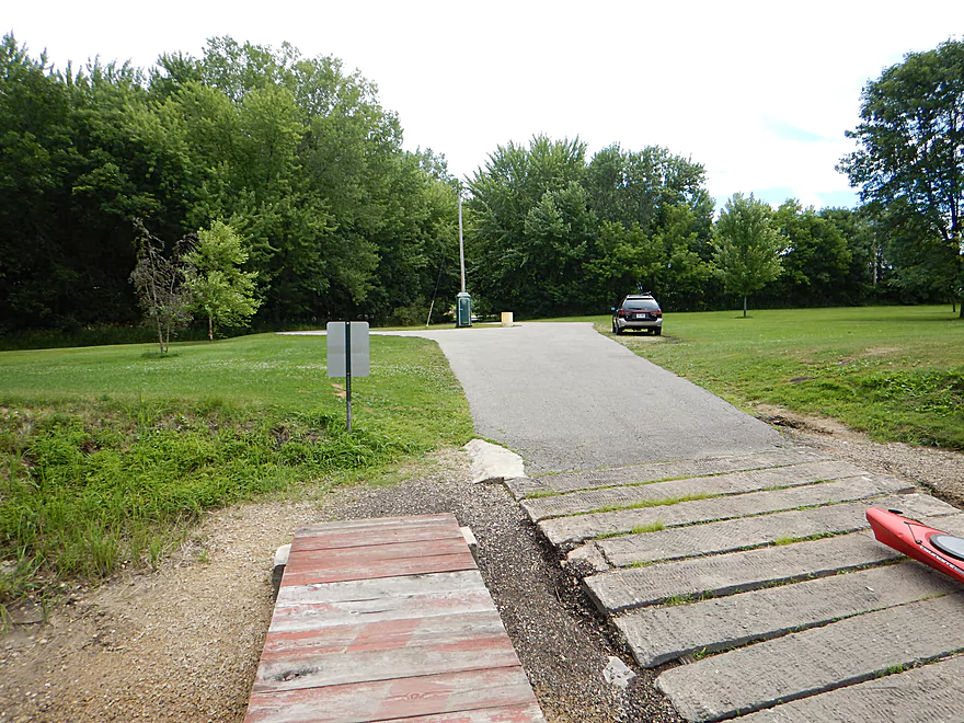
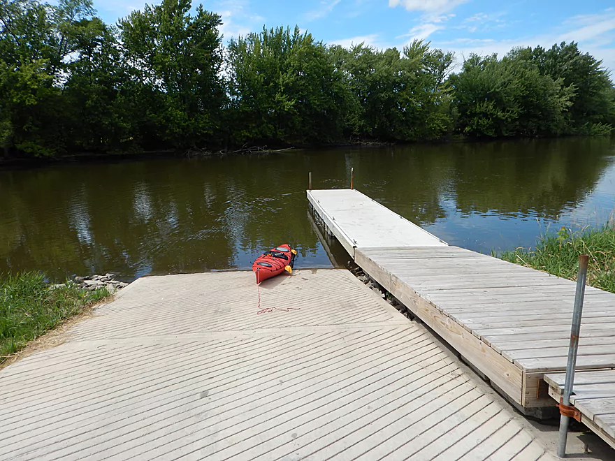
Good parking at the Princeton landing
Nice ramp too
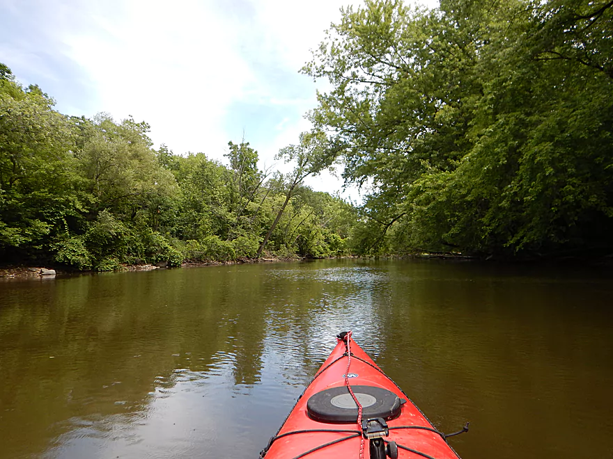
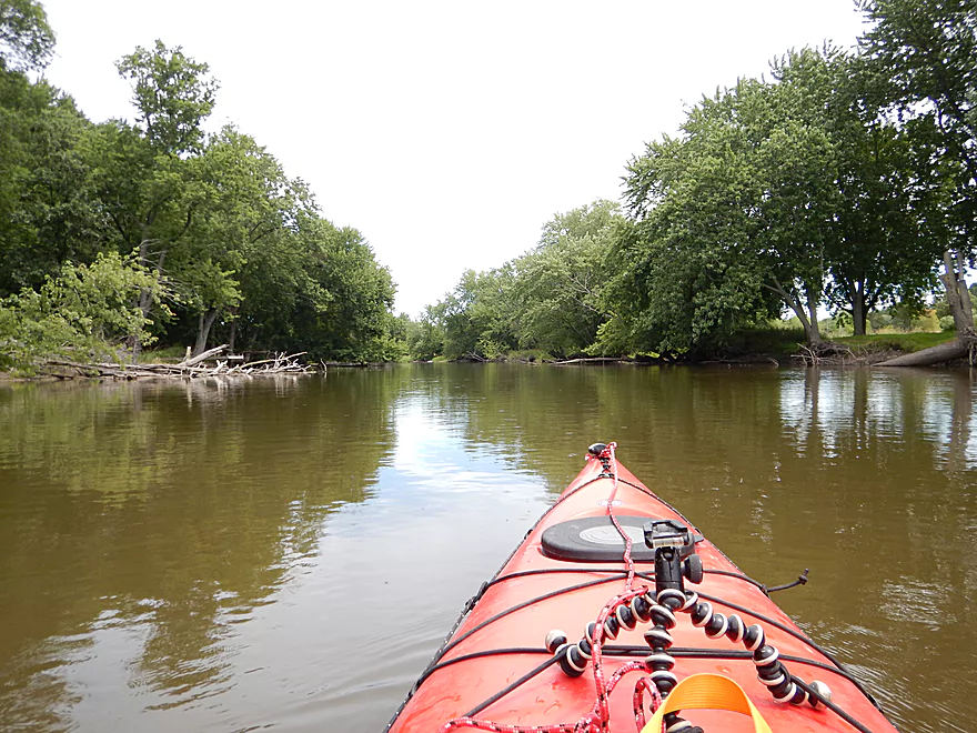
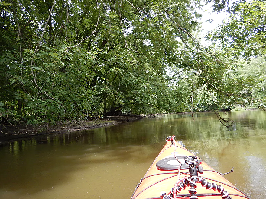
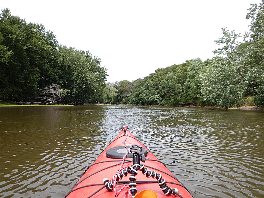
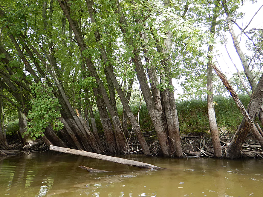
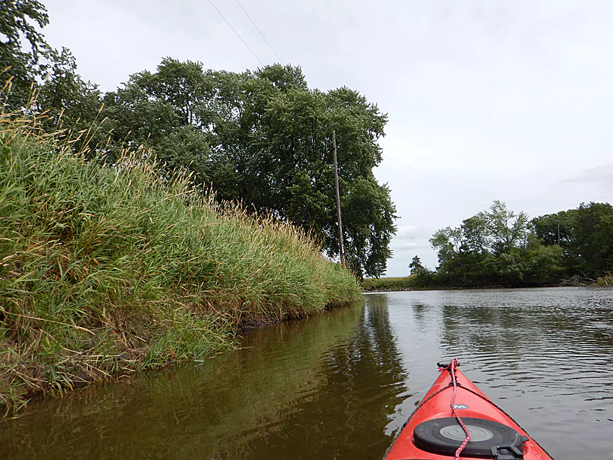
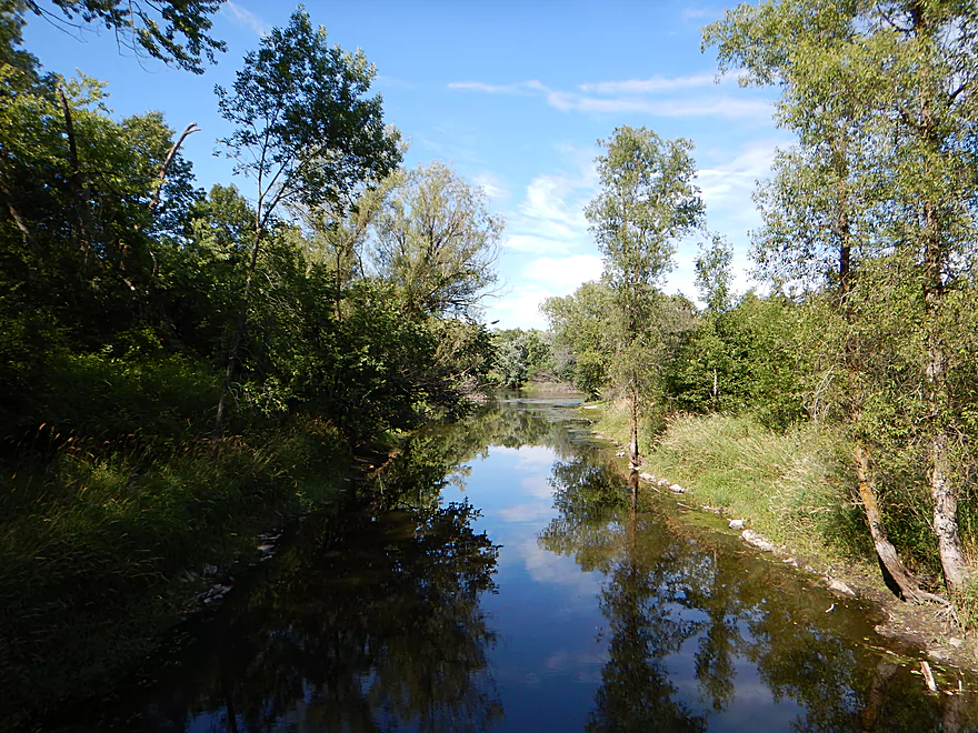
The first mile has nice wooded banks
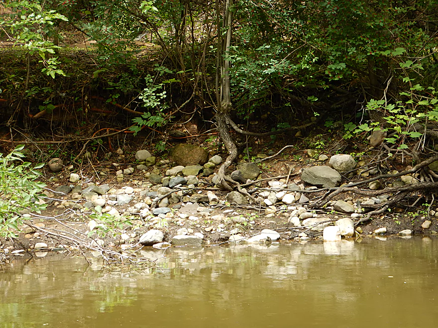
Rocks are a Fox River aberration
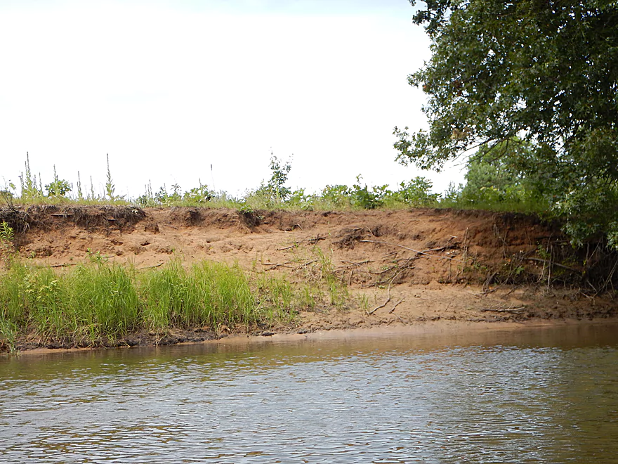
You can see the high water line
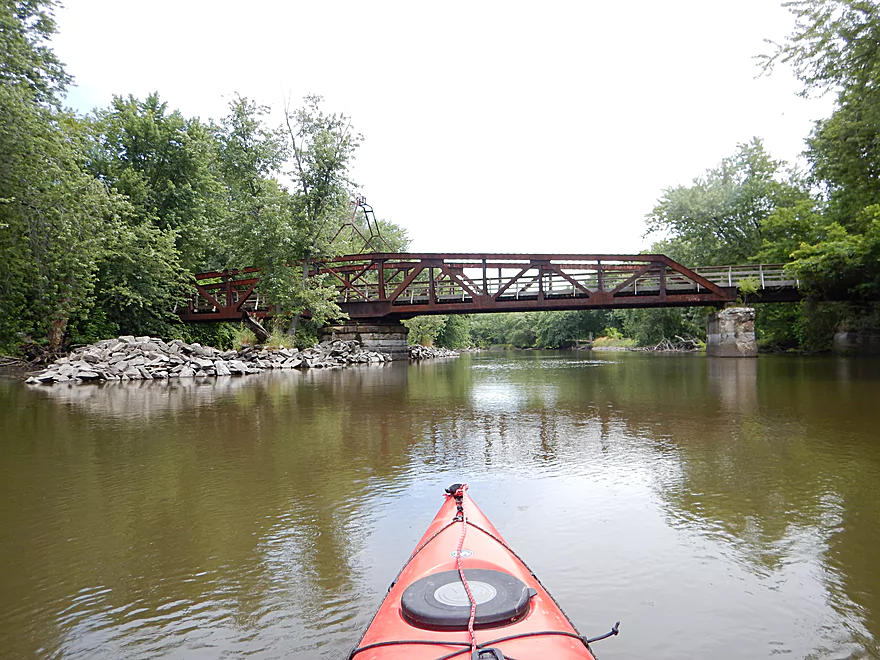
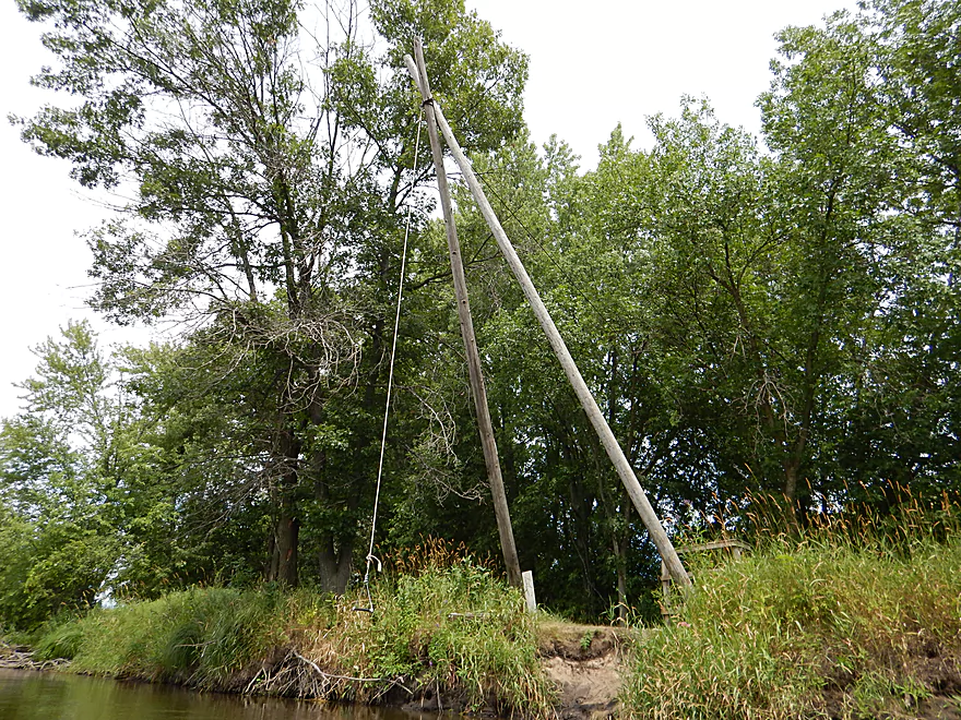
An historic swing bridge
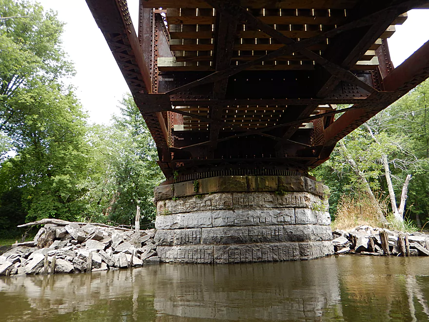
The entire thing would swing on this massive turret
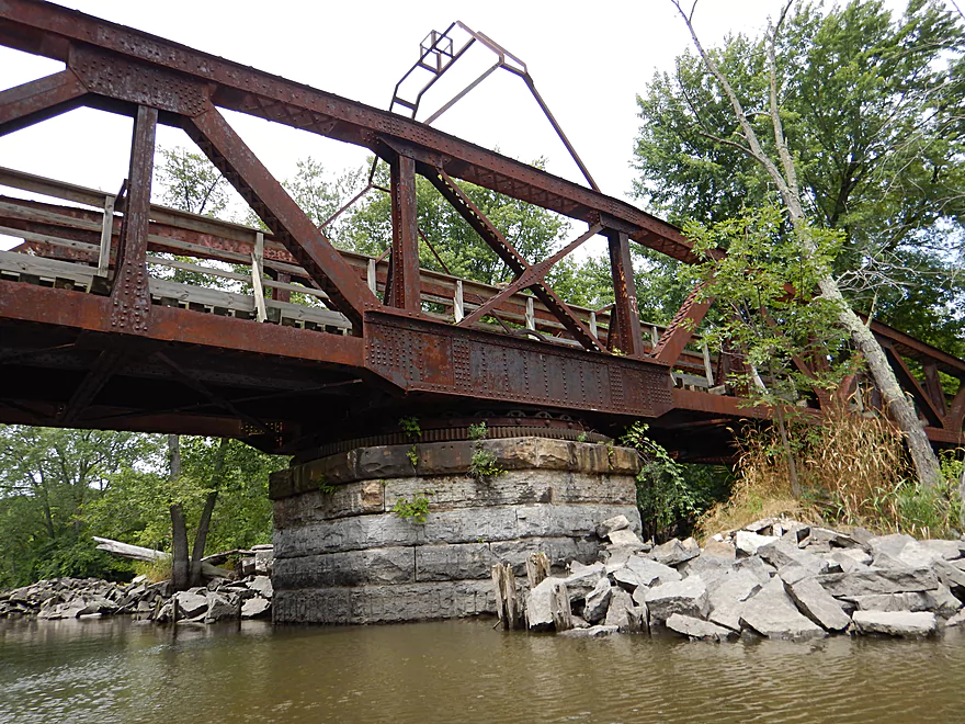
You can still see the wheels it rests on
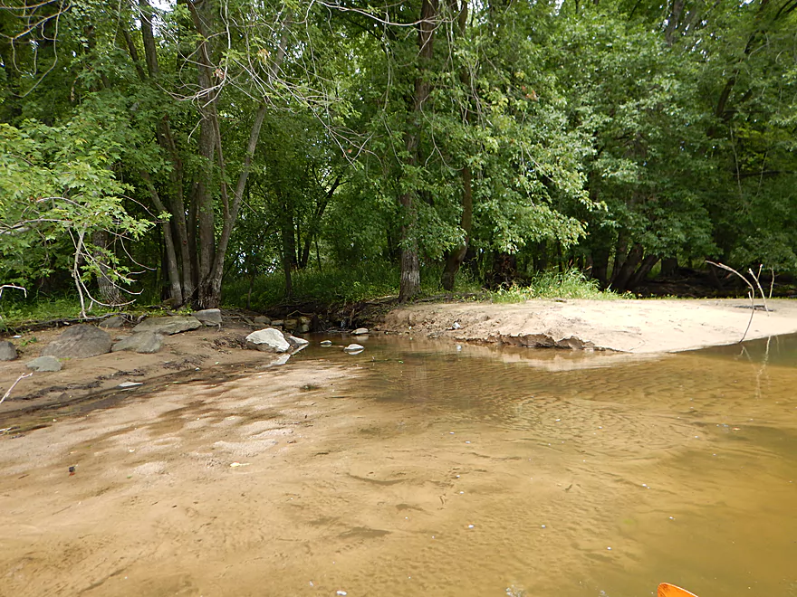
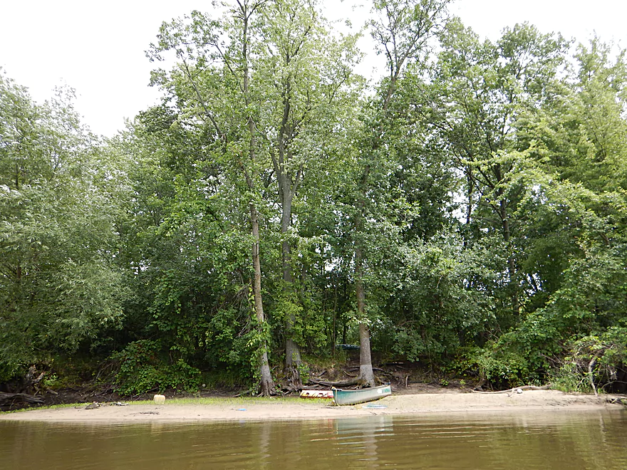
A rare nice sandbar
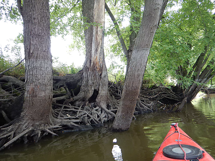
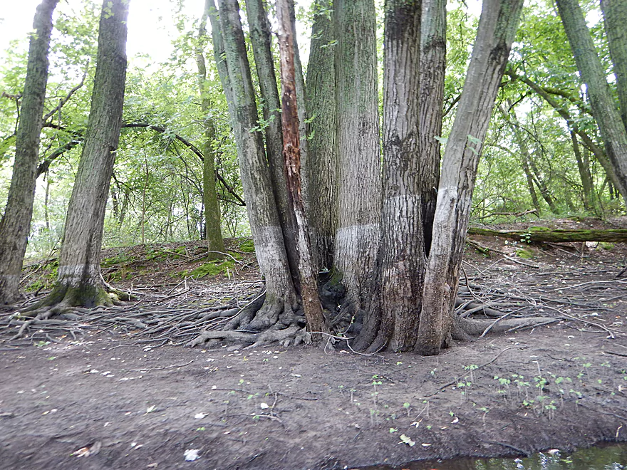
Tree roots duking it out
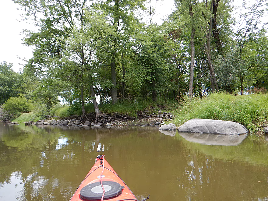
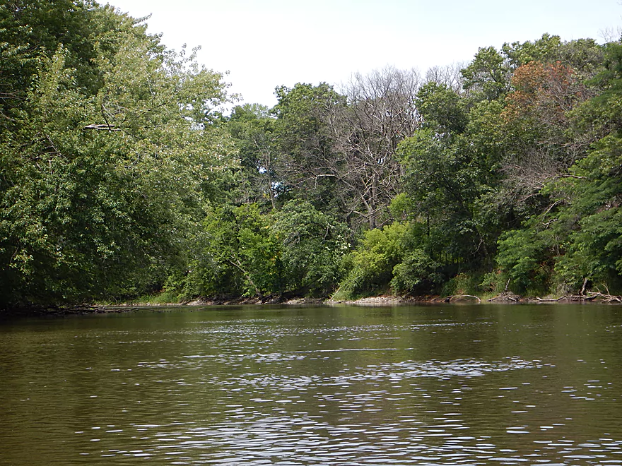
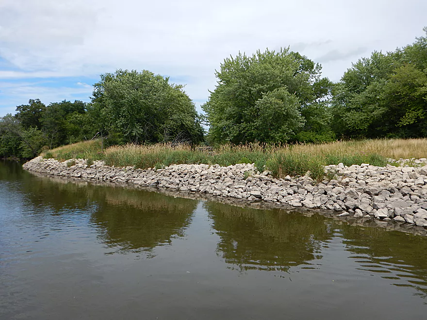
More nice rocks
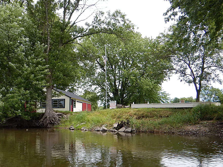
The “For Sale” sign is…facing the water
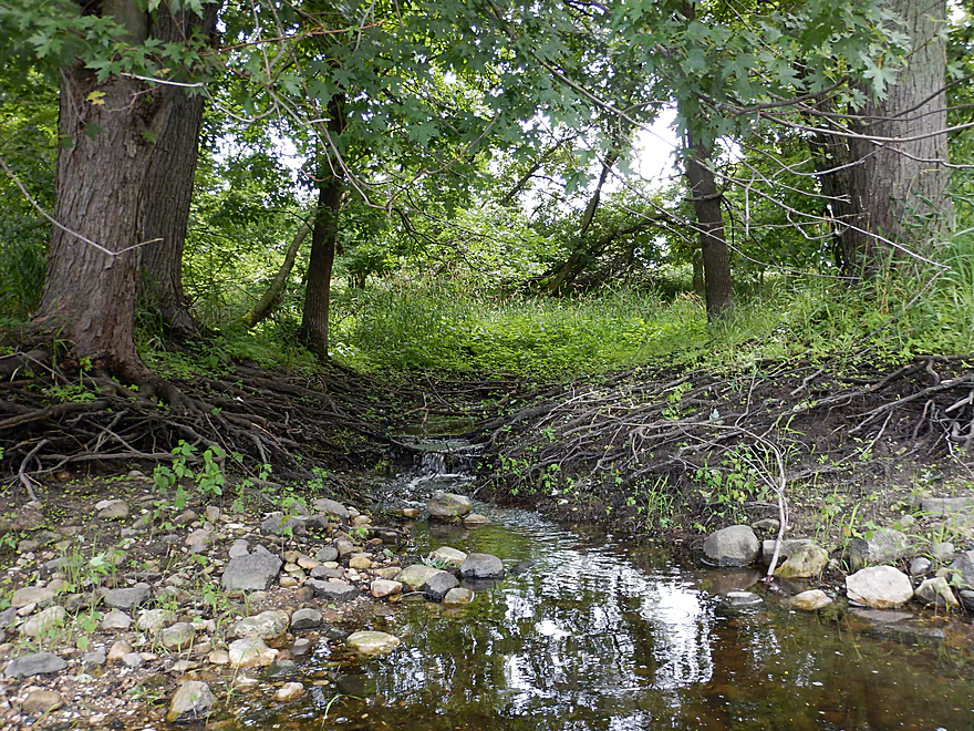
Roots create a mini waterfall
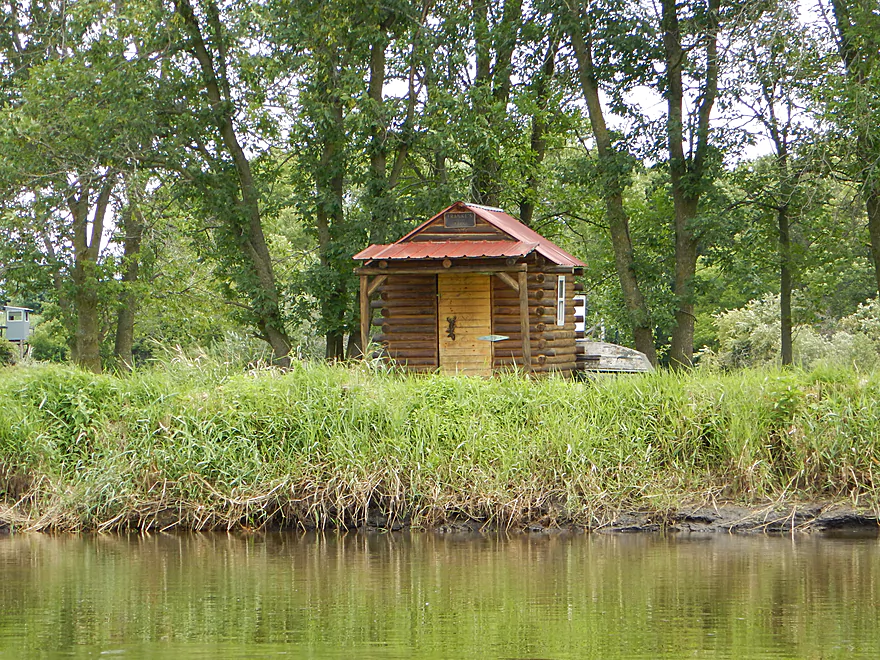
Quaint little shack
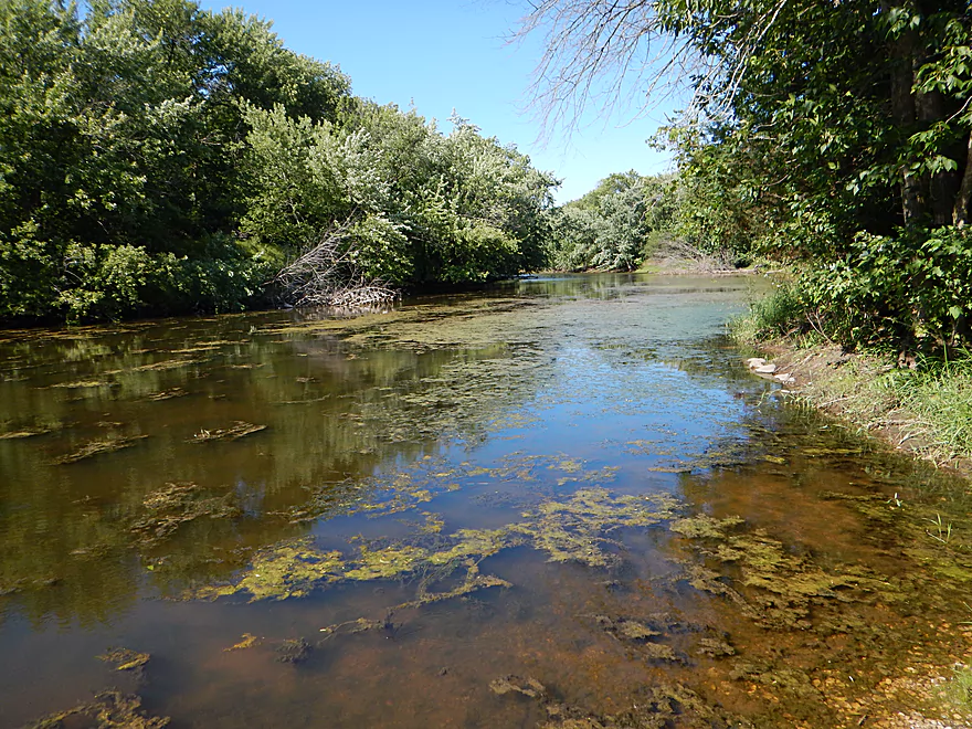
This is a pretty sandy river
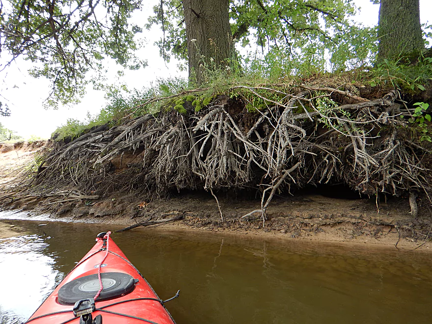
Interesting undercutting of the roots
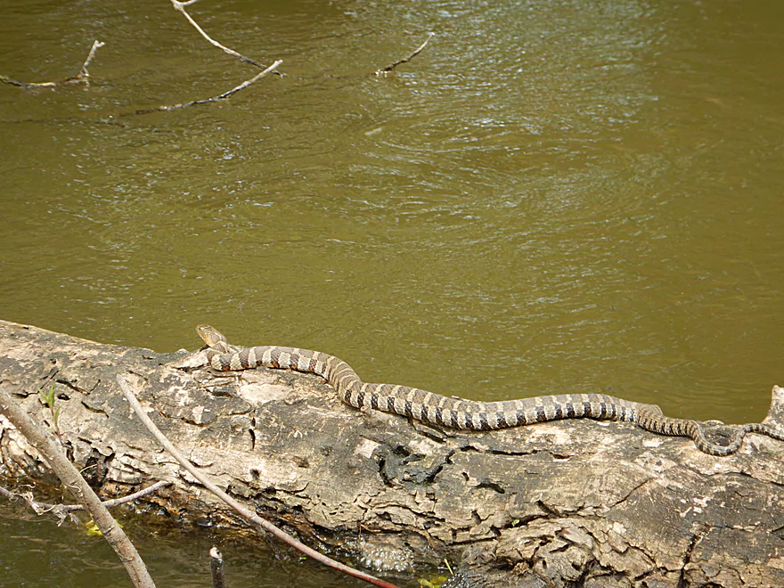
A plump water snake
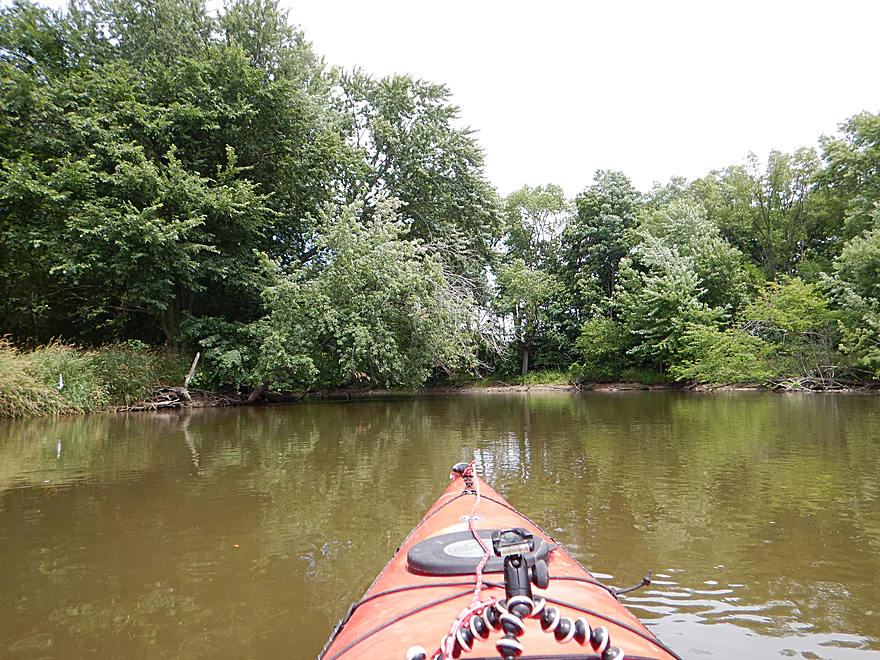
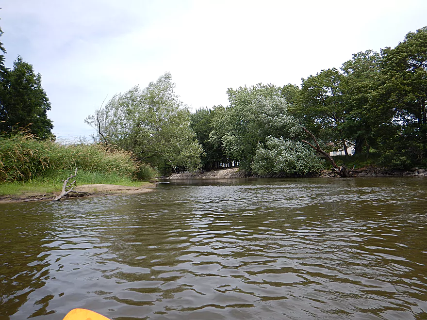
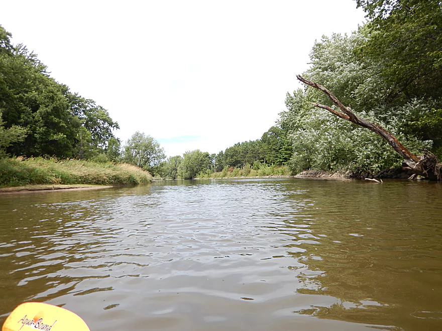
Nice overhanging trees provide shade
A public landing option at Old St. Marie Road
A historic dredging pile I believe being eroded
No leaning branches? Making do…
This will be gone in the next flood
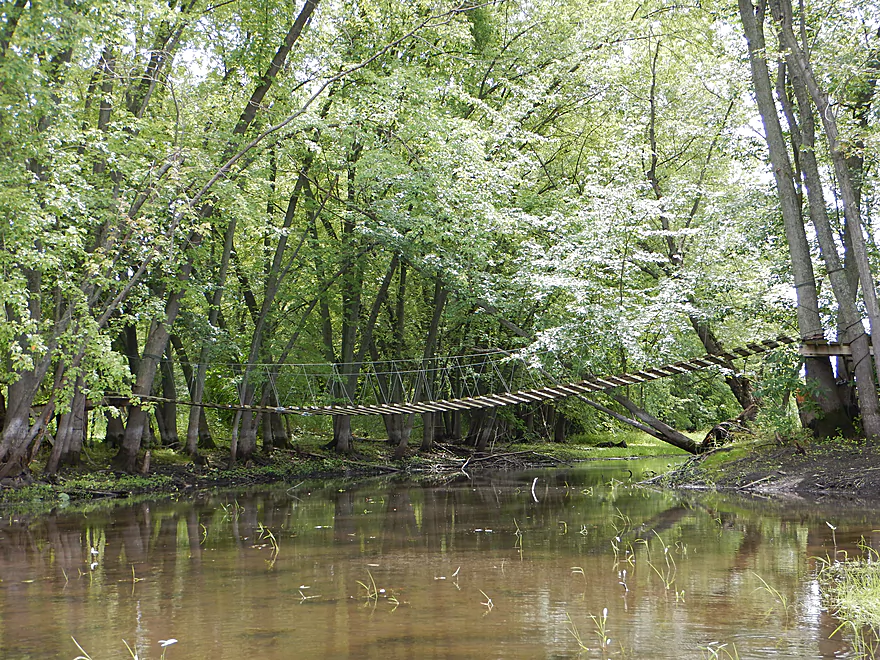
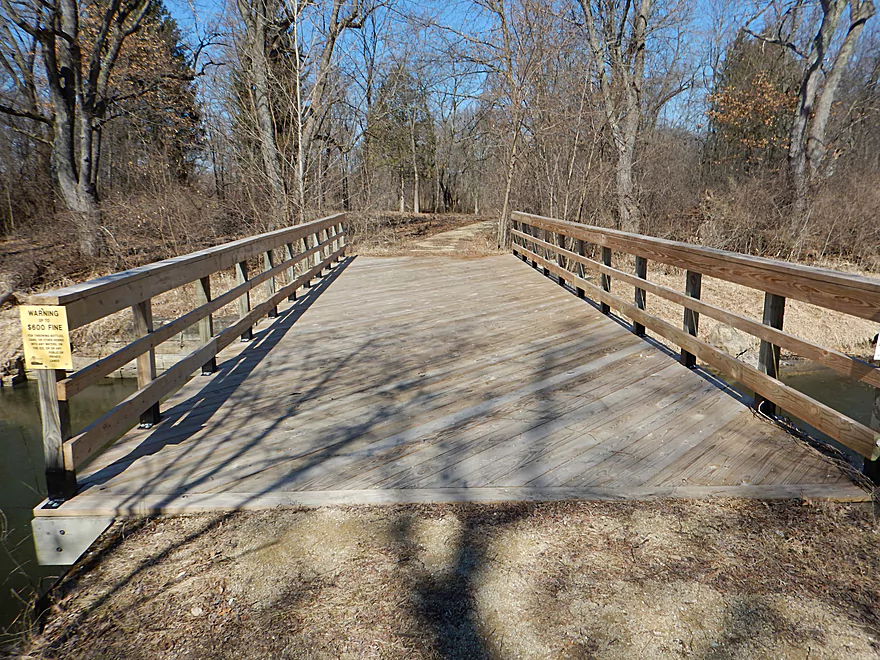
Cool suspension bridge
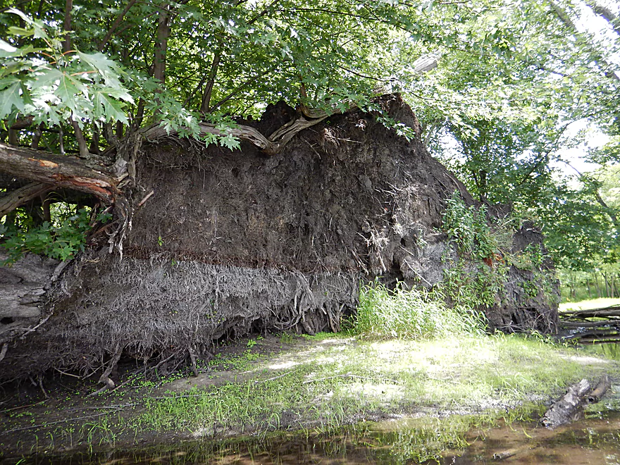
Interesting how the root system was peeled back
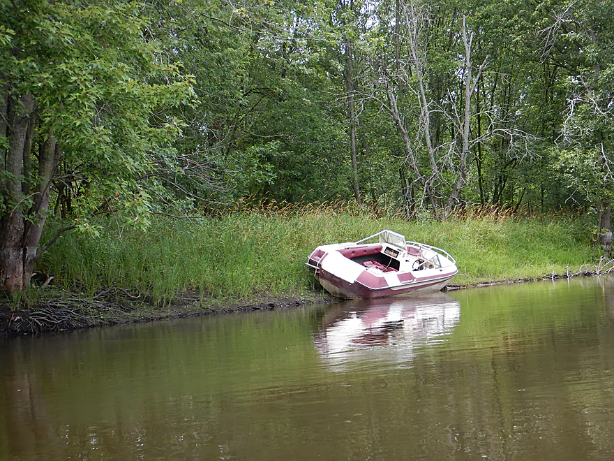
If somebody is missing their powerboat…
Mud residue from the last flood
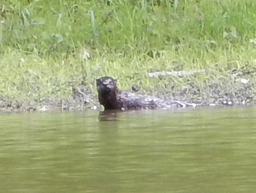
Very surprised to see an otter
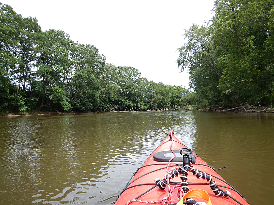
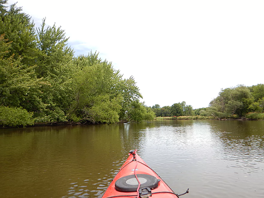
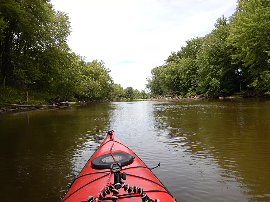
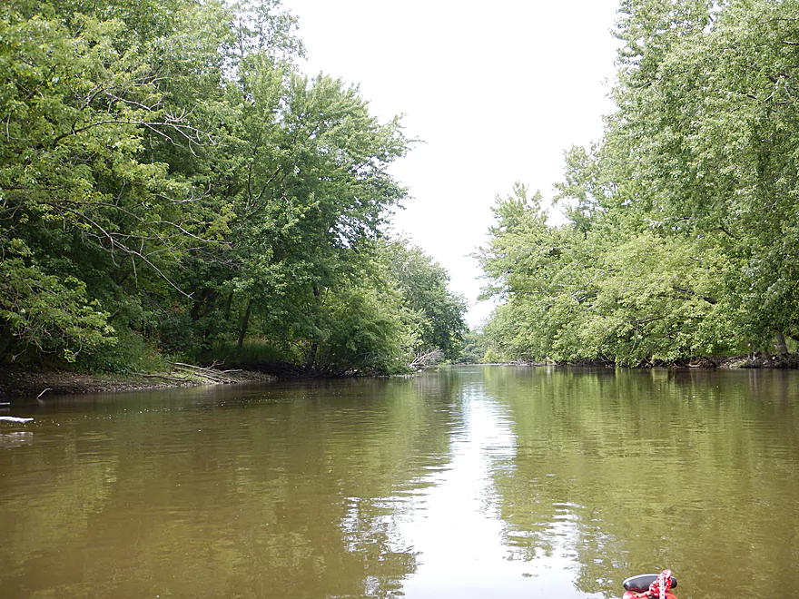
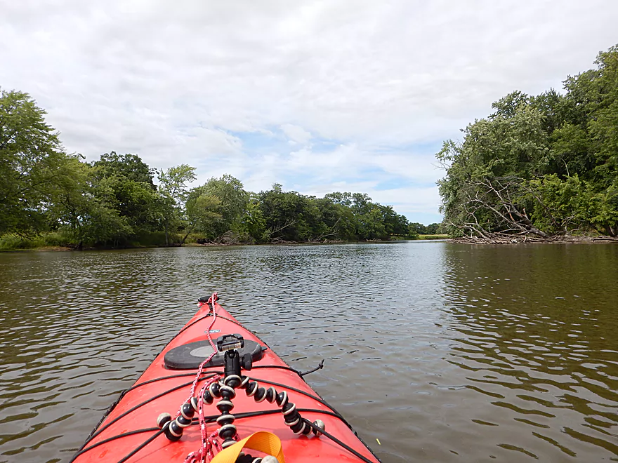
Very boring 200 foot wide channel
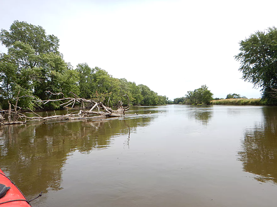
The Fox is known for its grassy banks
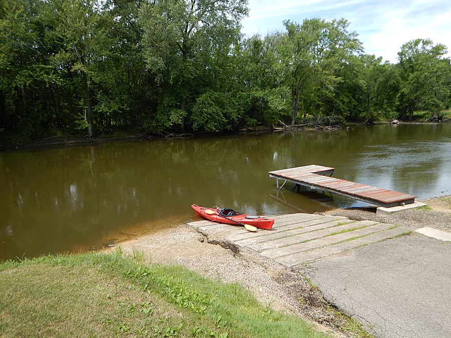
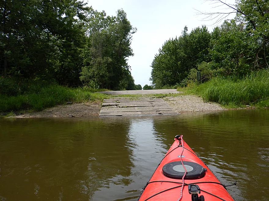
Taking out at the White River Locks
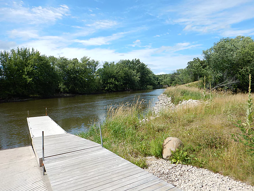
Scenic landing
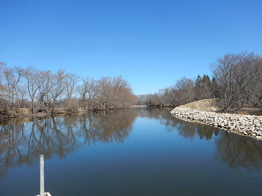
Even during winter
The old lock gate has been sealed in
You can still explore the canal if you want
Looks a bit mucky
There is a small trail system in the park that you can explore
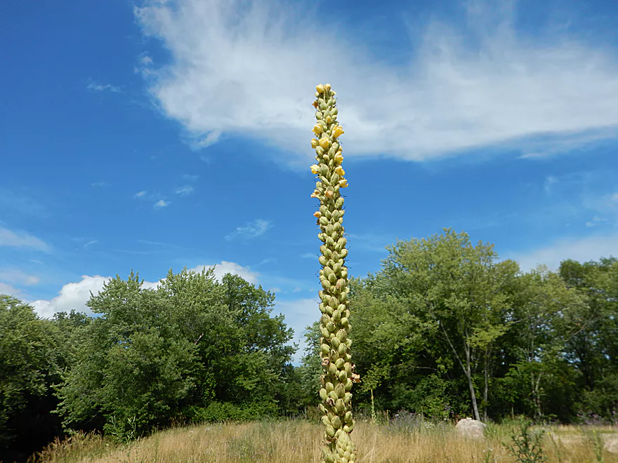
Mullein, the skyscraper of flowers
Fox River – White River Locks


As faithful readers will know, WisconsinRiverTrips.com has reviewed many sections of the Fox River. While not an elite paddling prospect, it does have pleasant segments here and there. For this latest (and not last) chapter of the Fox, I launch from Princeton and take out at the White River locks, which is the furthest downstream I’ve explored.
Excellent public launch in the heart of Princeton. Good ramp, good parking, no fees, few people use this, and a public outhouse.
Alternatively, you could put in 3.6 miles upstream at the Princeton Locks off Lock Road (also a good access).
Very good take-out at the White River Locks (not to be confused with the Princeton Locks). There are two landings here, one above the sealed canal and one below. The White River Locks have free parking and good launching options, but no public outhouse.
The bike shuttle is pretty easy and only 5.1 miles with few hills.
Mecan River Outfitters does do shuttles upstream of Princeton, but I’m not sure if they will go downstream of the city. They can be reached at 920-295-3439.
No hazards, no jams. Easy trip. Only concern would be wind direction and speed as this is an exposed channel.
The trip was done at 550 CFS per the local gauge in Princeton. This is a pretty average depth. The Fox isn’t a super volatile river but can get high in the spring. Figure 800-1000 CFS for higher levels and the max you’ll probably see for a year is around 2000 CFS. On the flip side, the river rarely gets below 400 CFS and even then navigability will never be an issue as the channel has been heavily dredged (my paddle rarely hit the bottom). As for current, there isn’t much.
Water snake, painted turtles, woodchuck, several eagles, and an otter (which I rarely see on rivers).
Events in Princeton include the September Whooping Crane Festival and the spring sturgeon spawn (check online for timing, since it varies from year to year). For a “really big” paddling experience, bring 14 of your friends and take a historic tour in a replica 28 ft. Voyageur canoe.
Detailed Overview
- Hwy H to Hwy E: 3.1 miles. Creek/river is kind of small here and you may need high water. Route is 3.1 miles and logjams shouldn’t be an issue. A very open and grassy route.
- Hwy E to Ross Road: 2.9 miles. Hwy E has tough parking because of steep shoulders but you should be able to park in a drive NW of the bridge. Next 2.7 miles will be mostly open wetgrass and logjams shouldn’t be an issue.
- Ross Road to Hwy 44: 3.3 miles. More open wetgrass for the next 2.9 miles with possible logjams before Hwy 44. Parking isn’t the greatest at Ross because of the steep shoulders.
- Hwy 44 to Haynes Road: 6.6 miles. An obscure section of the Fox River upstream of Pardeeville that has redeeming values, but can be a frustrating paddle because of the logjams in the stream.
- Haynes Road to Hwy 22 Dam (the south one): 2.0 miles. Looks like a boring lake paddle IMO. I did not see public access at either dam, so you may have to portage them. Am not sure. I believe canoe author Frank Piraino put in on the Hwy 22 bridge by the north dam/fork.
- Hwy 22 to Swan Lake Campground: 2.6 miles. I do not know much about this route, but it was paddled by Frank Piraino who had a favorable opinion of it. Rumor has it there are snags here. I suspect there will be jams in the north fork after Hwy 22, but the south fork should be free (but less scenic). Swan Lake Campground requires a fee for access.
- Swan Lake Campground to Swan Lake (South Shore Boat Ramp): 2.7 miles. An ok stretch. In essence a creek paddle through grasslands with a bit of lake paddling at the end. Serviced by a local livery.
- Swan Lake to Hwy 33: 5.8 miles. Pleasant marsh paddle. Does include 1-2 miles of paddling.
- Portage Canal: 2.3 miles. A unique experience filled with history. Unfortunately the canal can be at times challenging to navigate.
- Hwy 33 to Governor Bend: 5.4 miles. A classic stretch and one of the best water trails on the Fox.
- Governor Bend to Hwy O: 5.7 miles. A pleasant stretch.
- Hwy O to Endeavor: 7.6 miles. A surprisingly nice section with good wildlife.
- Buffalo Lake: 10.6 miles. An artificial lake/flowage. Looks boring…. Beware of the weeds in late summer.
- Montello to Grand River Locks: 3.4 miles. A good section.
- Grand River Locks to Lake Puckaway: 5.3 miles. Probably a nice section.
- Puckaway Lake: 6.2 miles. Also looks boring and to be avoided. At least it’s not fake like Buffalo Lake. Maybe 7 miles.
- North Puckaway Lake to Princeton Locks/Dam: 9.8 miles. I do not know much about this stretch.
- Princeton Locks/Dam to the City of Princeton: 3.5 miles. A simple but pleasant section.
- City of Princeton to White River Locks: 6.0 miles.
- City of Princeton to Old St. Marie Landing: 1.9 miles. A pleasant wooded section with a historic turn bridge.
- Old St. Marie Landing to the White River Locks: 4.1 miles. A slow, broad channel that is ok, but gets repetitive.
- White River Locks to Landing Road: 10.4 miles. The White and Puchyan Rivers add a lot of volume by now. Not sure this is a great paddling stretch.
- Landing Road to Riverside Park in Berlin: 3.4 miles. A simple section that flows through downtown Berlin.
- Riverside Park to Eureka Boat Landing: 7.8 miles. River is probably no longer a cute baby and is instead an ugly teenager.
- Eureka to Omro: Roughly 6.5 miles. Probably too big to be enjoyable.
- Omro to Lake Butte des Mortes: 5.0 miles. Likely uninteresting.
Trip Map
Overview Map
Video
Photos Size:
White river landing could you possibly give me address. I’m planning g my whole trip from Portage to green bay which I will be starting soon.
Hi Keegan, the White River locks are off Lock Road. If you Google “43.899968, -89.084016”, the results will show the exact location. Good luck on your adventure! Let me know how it turns out. Unfortunately the Fox is ridiculously high now so it won’t as fun to paddle. You may be interested in reading the blog http://www.portagetoportage.com/ which details how one individual paddled not only the entire Fox River, but also the Mississippi and the St. Lawrence Seaway.