
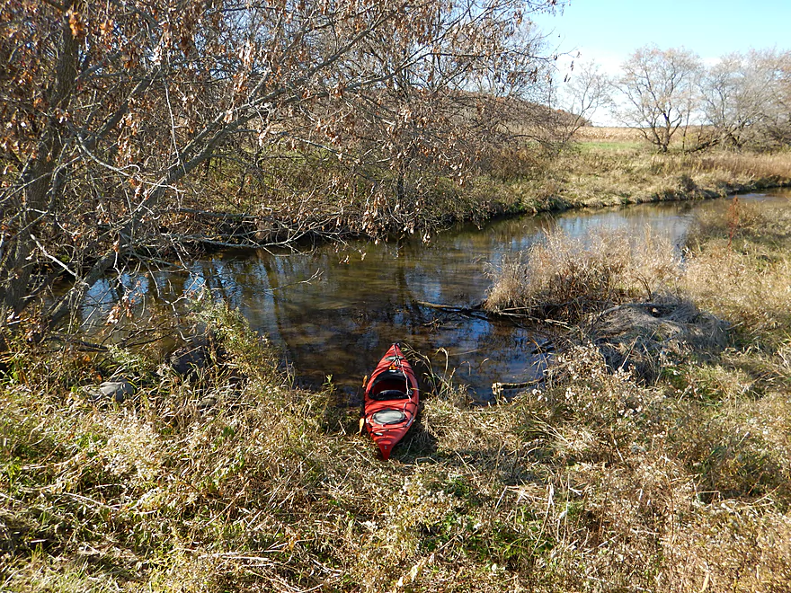
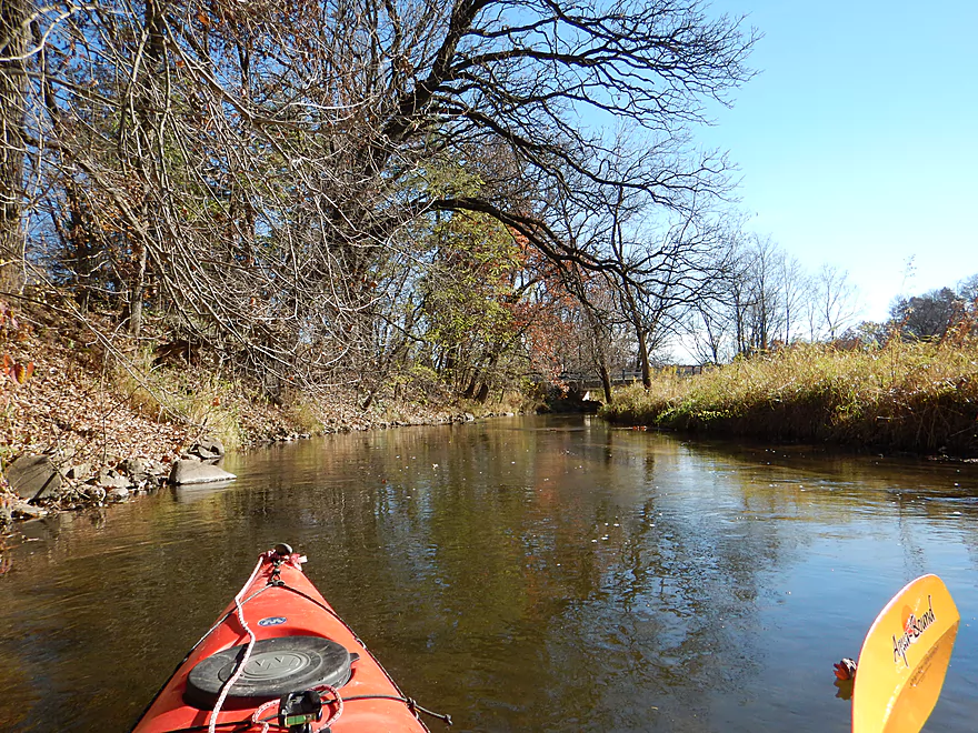
Putting in north of the Hwy A bridge
East of the bridge has a good landing too
But doesn’t let you run the rapids
Which are not very big
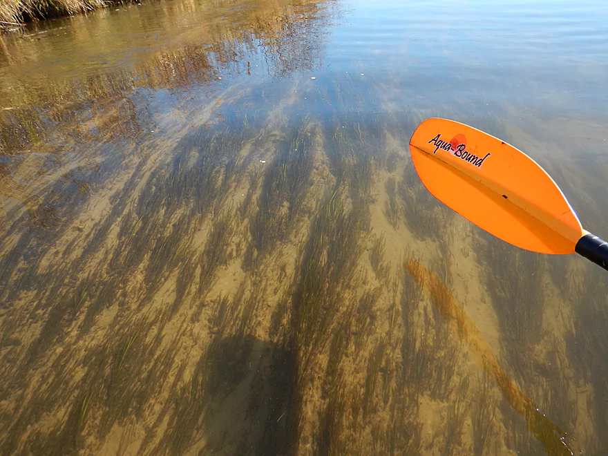
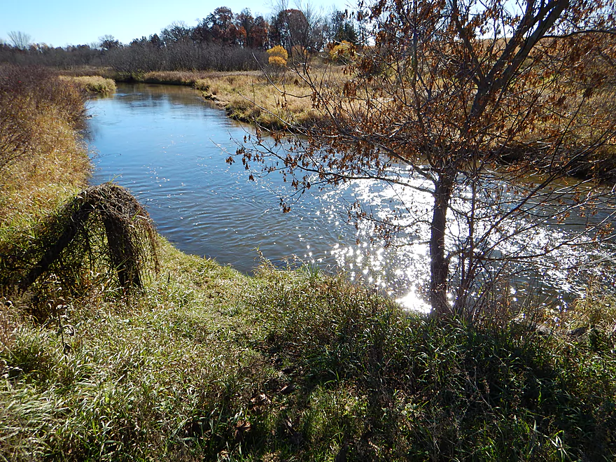
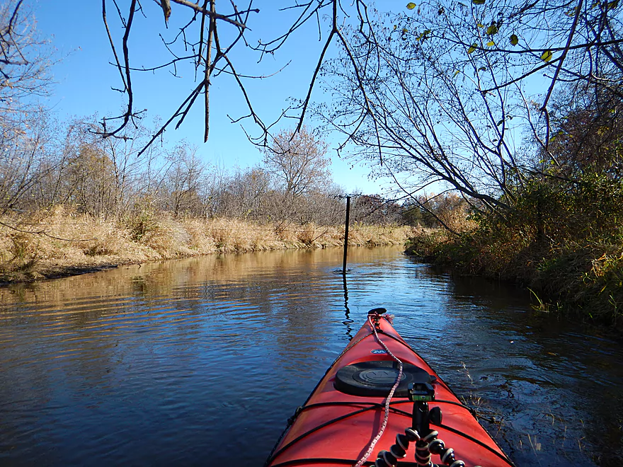
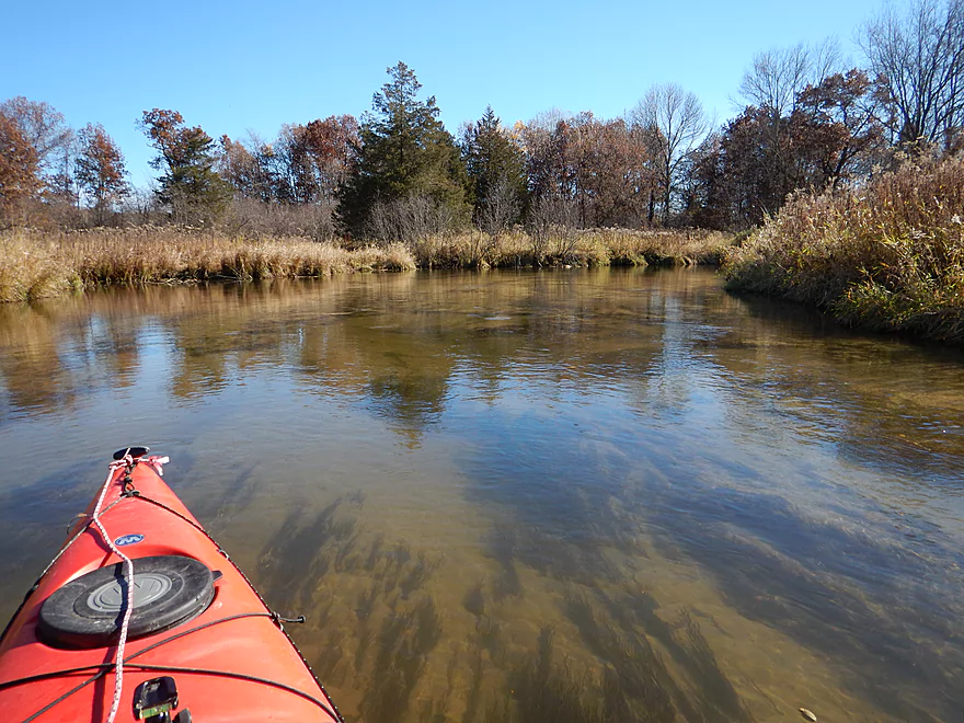
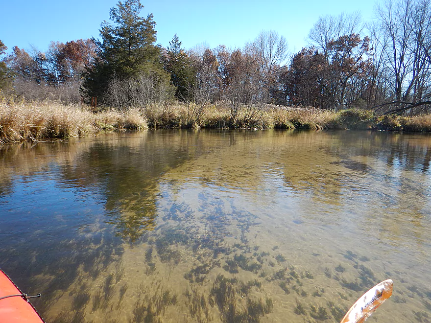
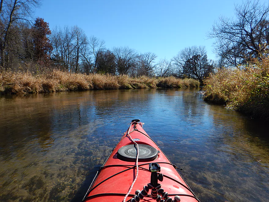
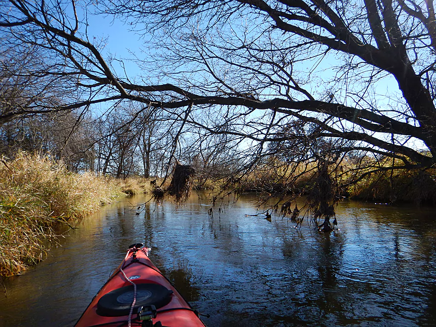
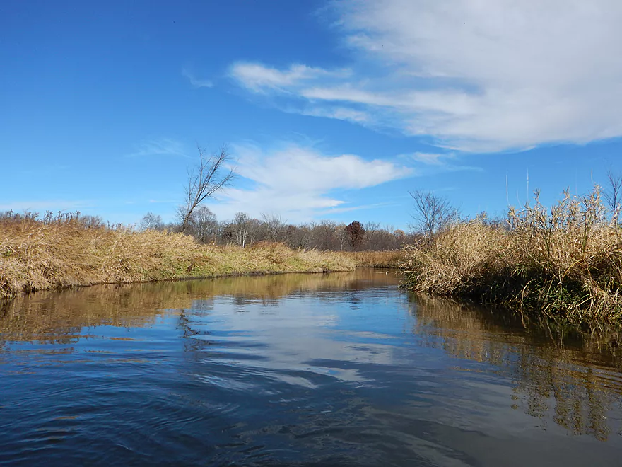
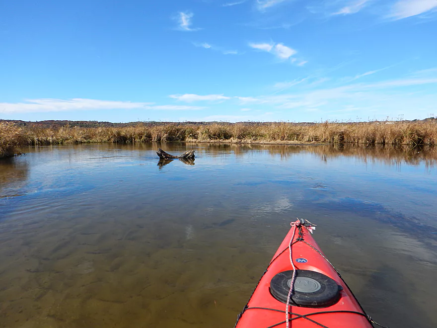
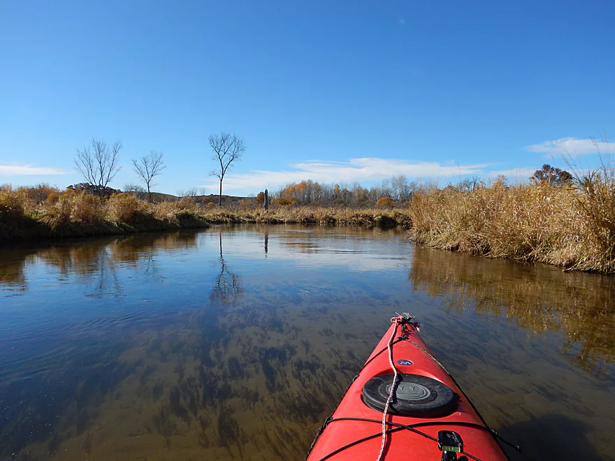
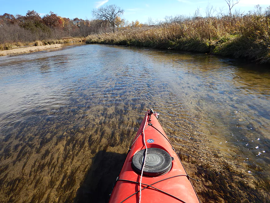
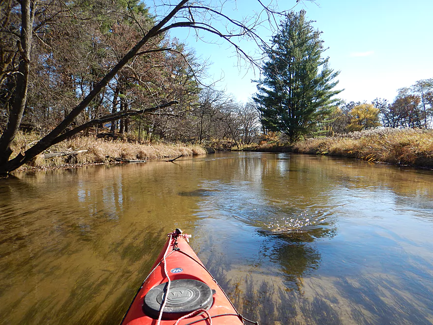
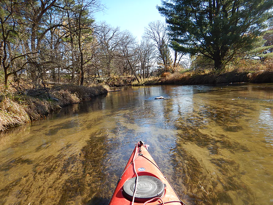
Great water clarity
Barbed wire fence that is easy to duck under
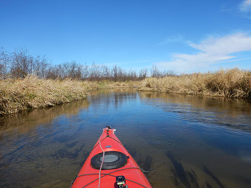
Pretty sandy creek
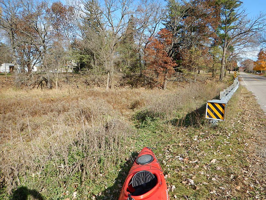
High water line
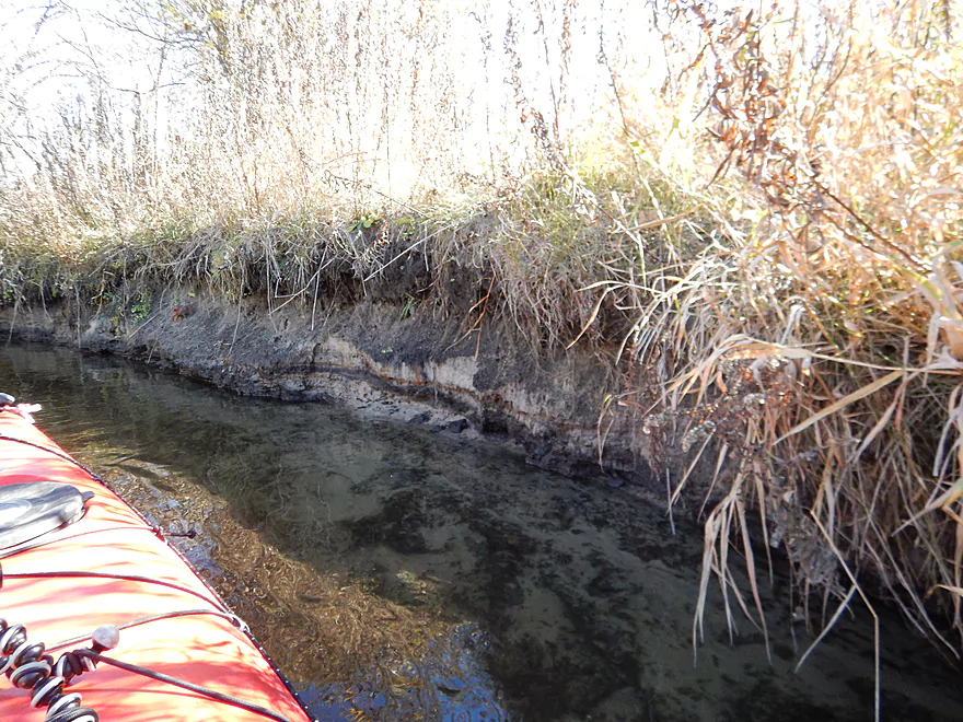
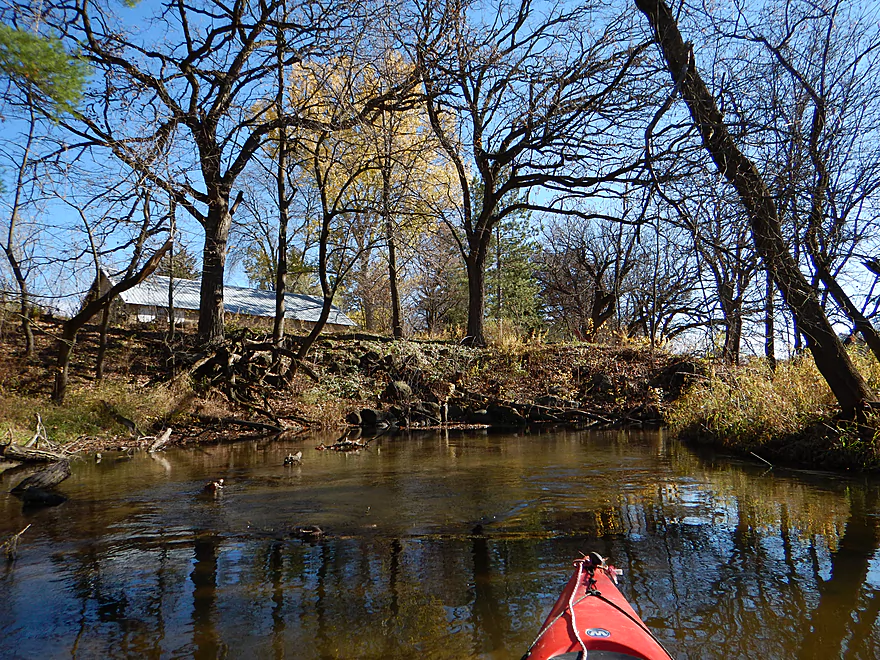
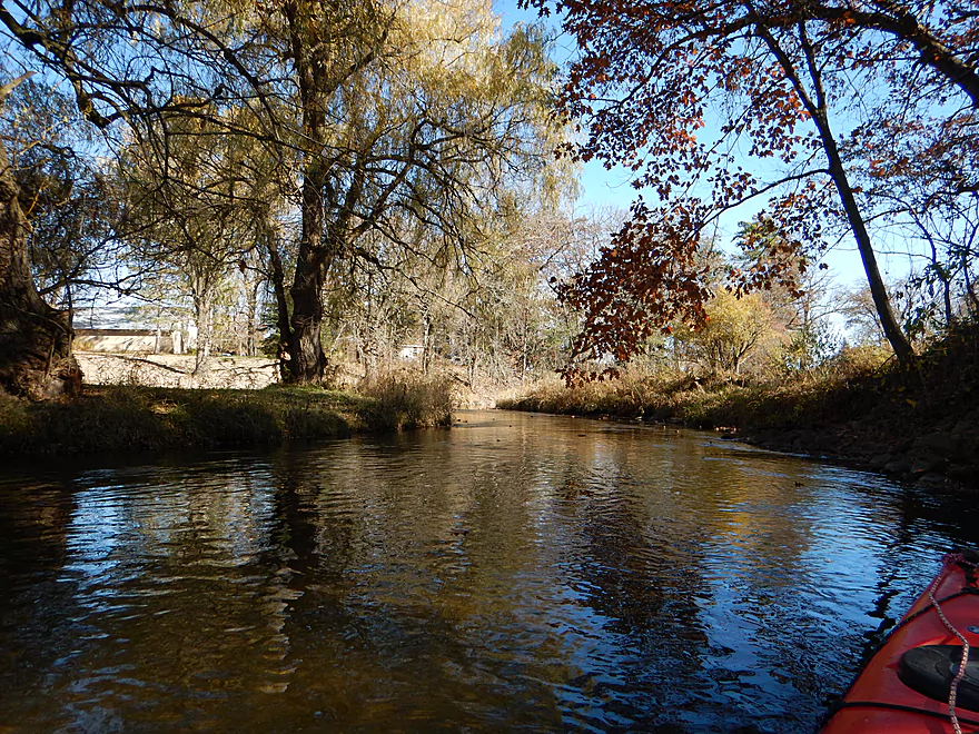
Mostly sand banks with some mud
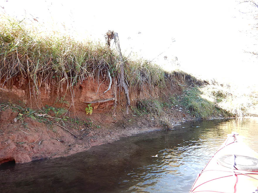
Clay banks reminded me of the upstream sections
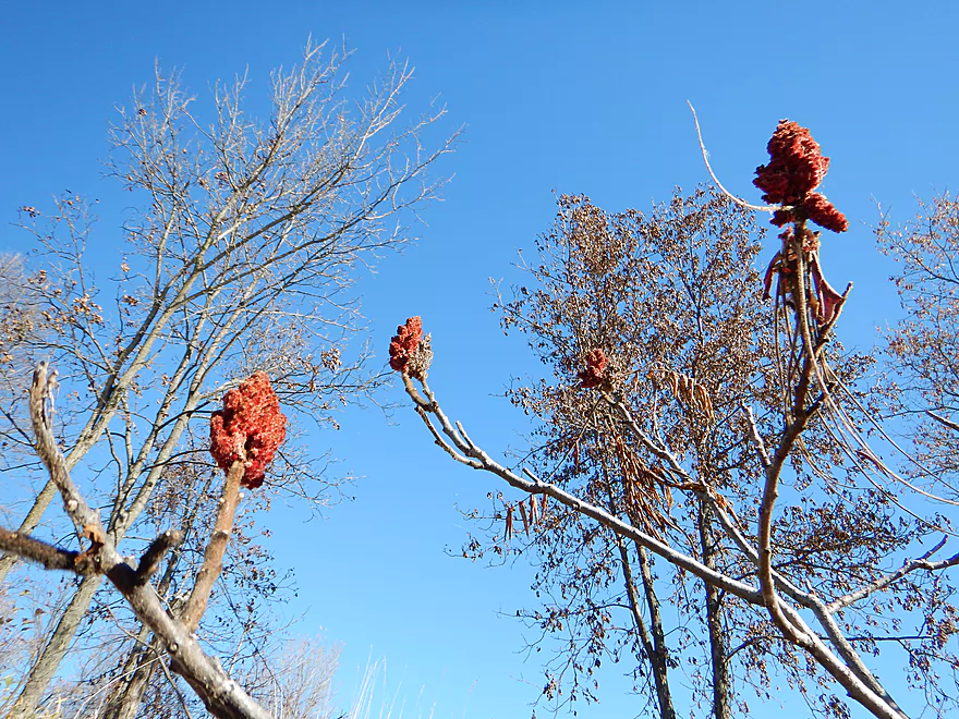
Staghorn sumac
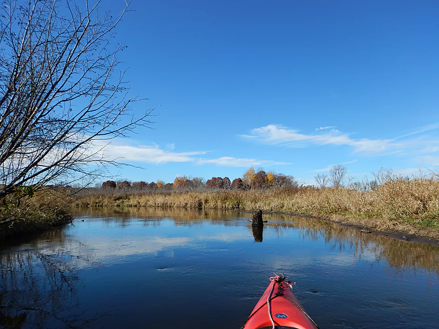
Nice cirrus clouds and reflections in the water
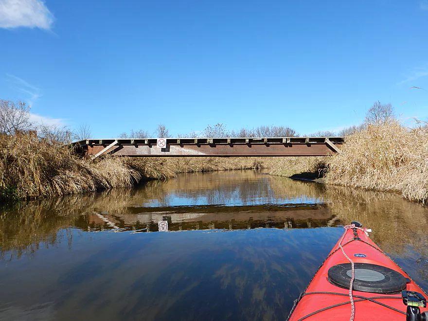
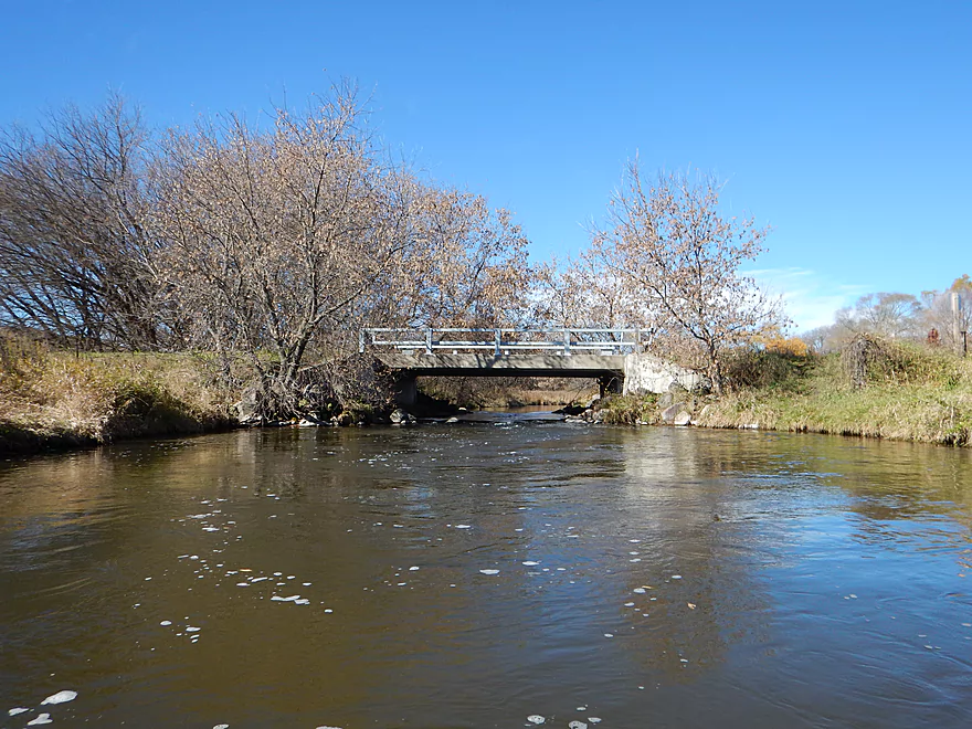
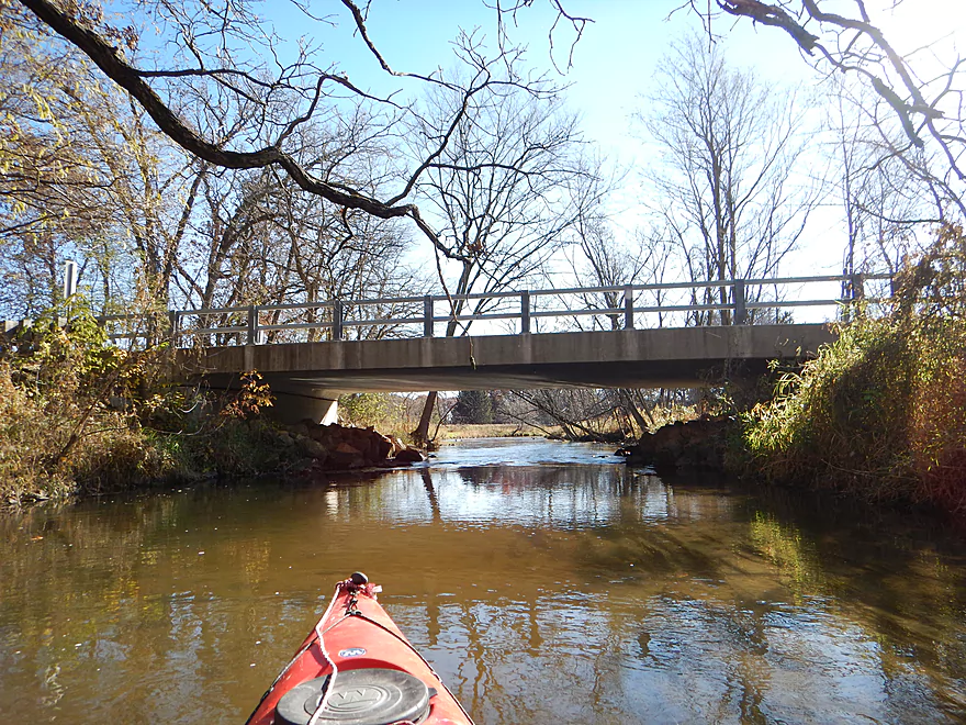
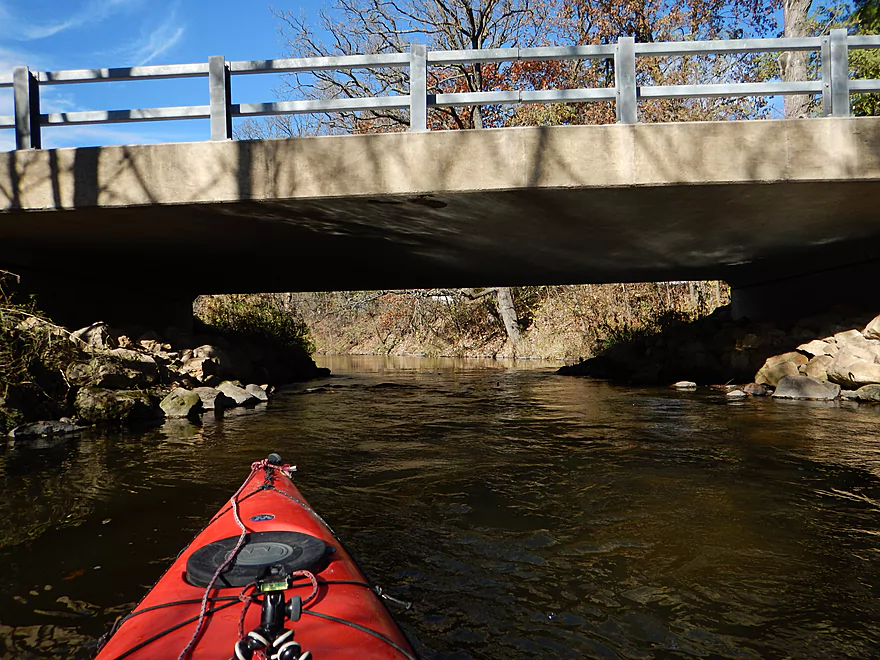
Suspect this is a snowmobile bridge
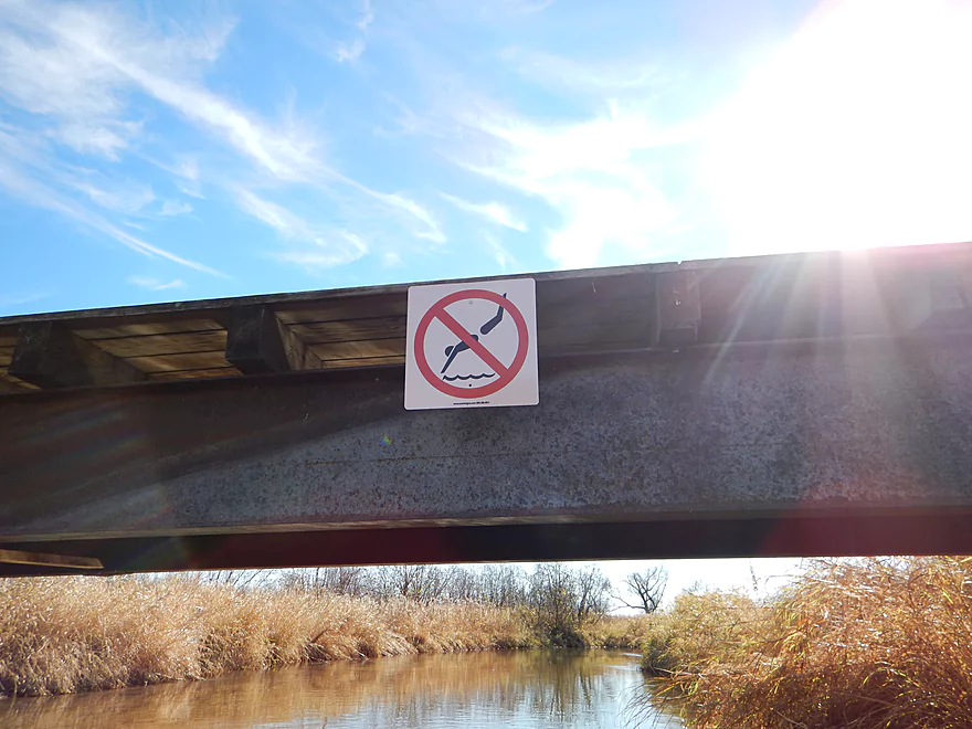
No diving sign in the middle of nowhere
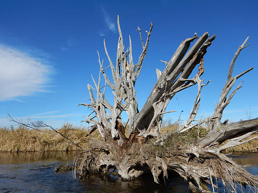
A nice rack of tree stump antlers

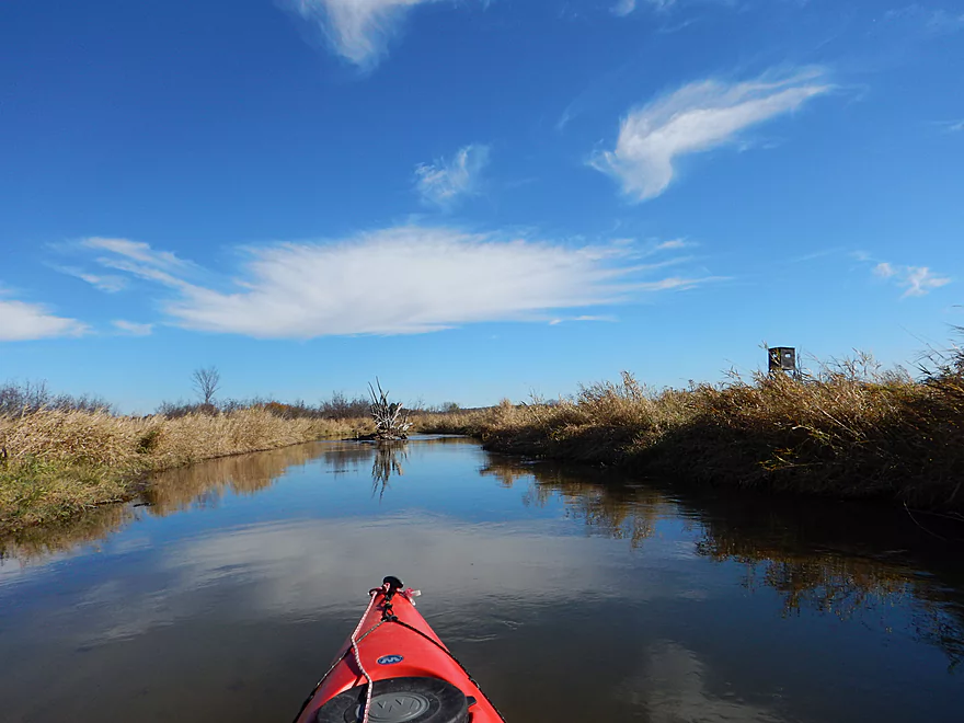
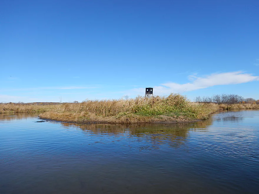
One of many hunting blinds on the creek
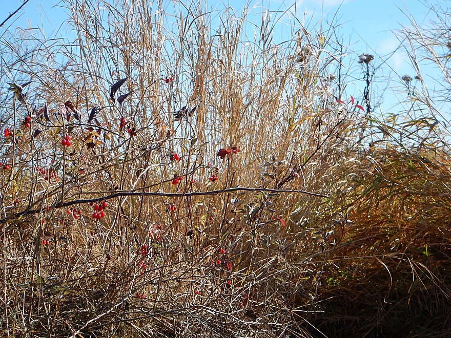
Ripe nightshade berries
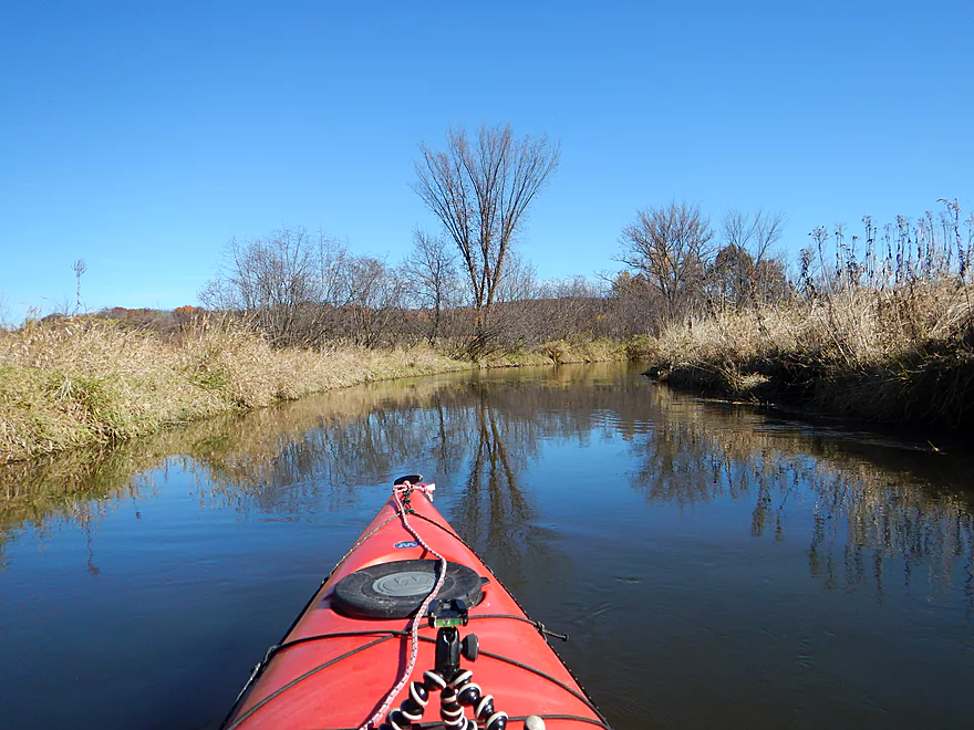
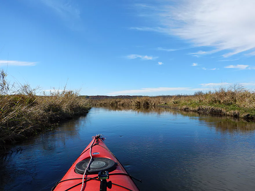
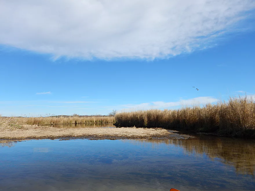
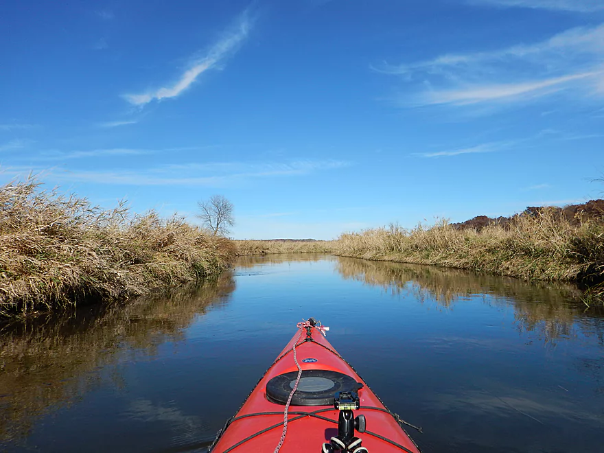
Getting dizzy from the oxbows
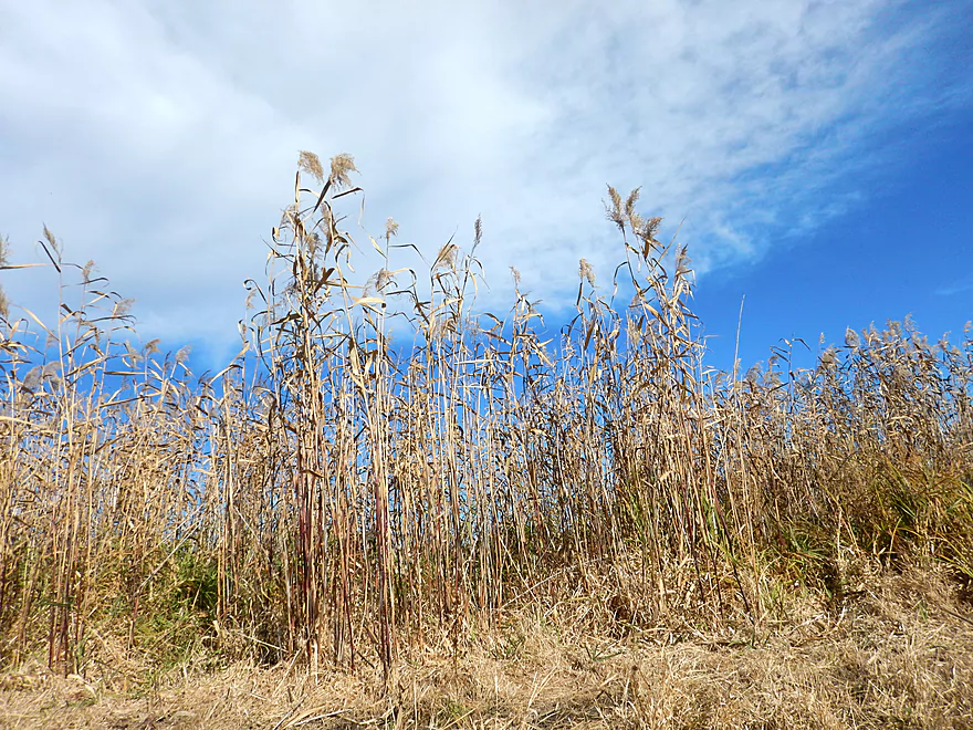
Phragmites (common reed grass)
A goose airport (now vacant)
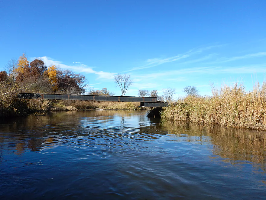
Another snowmobile bridge (could be dodgy in high water)
Favorite picture
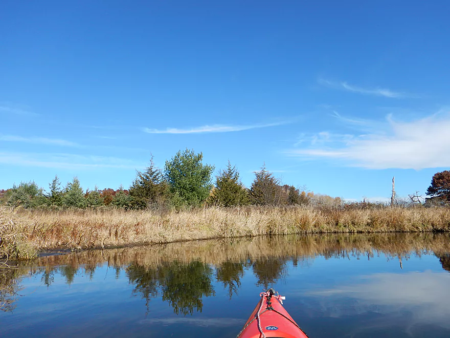
Looks like red cedar in front, with a taller white pine in back
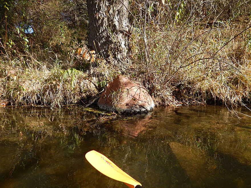
Black rock with an odd red cap (clay stains?)
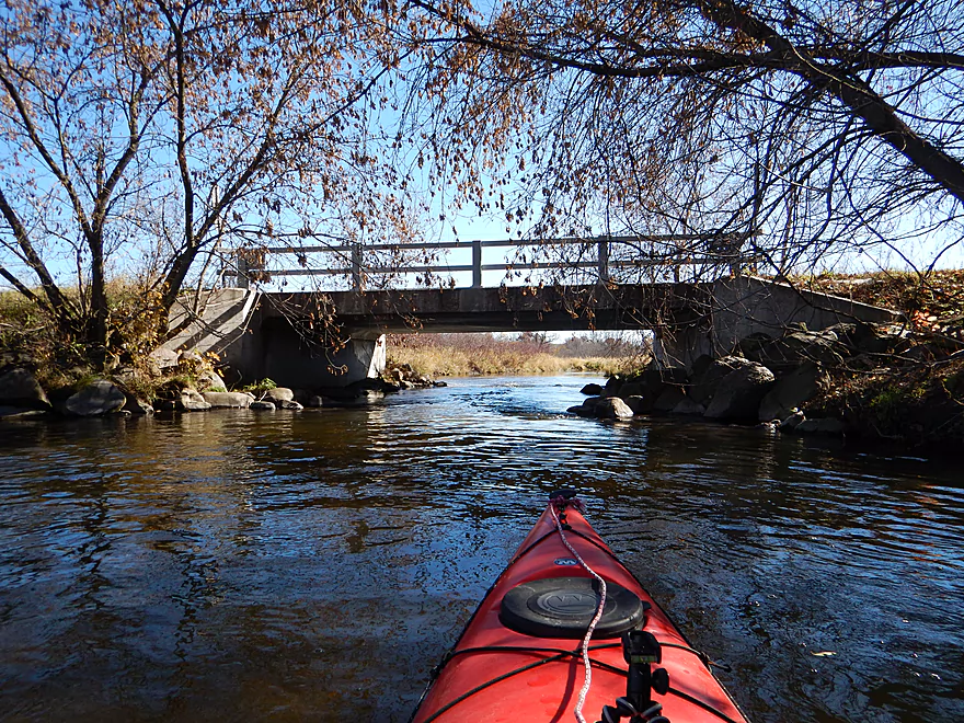
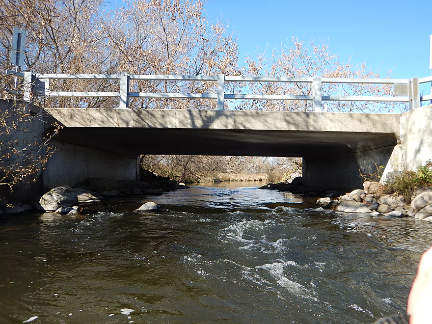
Hwy P bridge and take-out
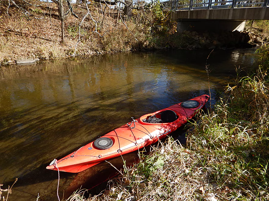
NW side is better than the SW side for getting out
Nice little path to the shoulder. Good room for parking.
Neenah Creek Main Branch – Part 2

A solid but not super exotic wetland paddle with its strength being the clean water and sandy bottom.
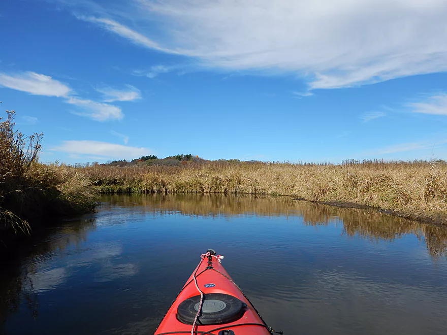
Pretty good access at Hwy A. You can put in north of the bridge (either up or downstream). There are riffles running under the bridge, so putting in upstream lets you run them. Try not to park by the fire hydrant.
No livery that I know of serves this creek. Bike shuttle is pretty easy at only 3.82 miles with a few hills. Not a lot of traffic and, in fact, there were road signs indicating this is part of the official Oxford bike loop.
I suspect Neenah Creek is pretty stable year round with exceptions being after heavy rains. While there were a couple of shallow sections, these were very minor and the creek could have been run at a much lower flow rate. The banks are not high, so this creek could flood easily (although it might make cutting across the oxbows easier). Current is very slow on the trip, at only 2′ per mile, with the better current residing on the upstream side of the trip.
Surprisingly sandy creek with just a wee bit of mud. All in all, very clear and nice. The water quality was the “star” of the trip.
Deer, ducks, dragonflies, fish, beavers, frogs, water snakes, cranes and mysterious things rustling in the grass. Pretty good trip for wildlife and this would be a fantastic trip for waterfowl if you go in the spring.
To start the 2014 season, I had paddled Neenah Creek from the city of Oxford to the Highway A bridge. A pleasant surprise and a trip I recommend. Fast forward a half year later, and I pick up on the creek where I last took out. My eventual plan is to paddle the entire creek all the way to the Fox River.
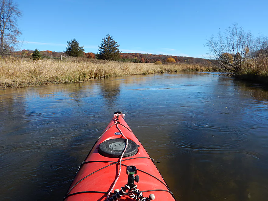
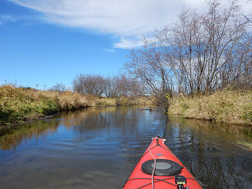
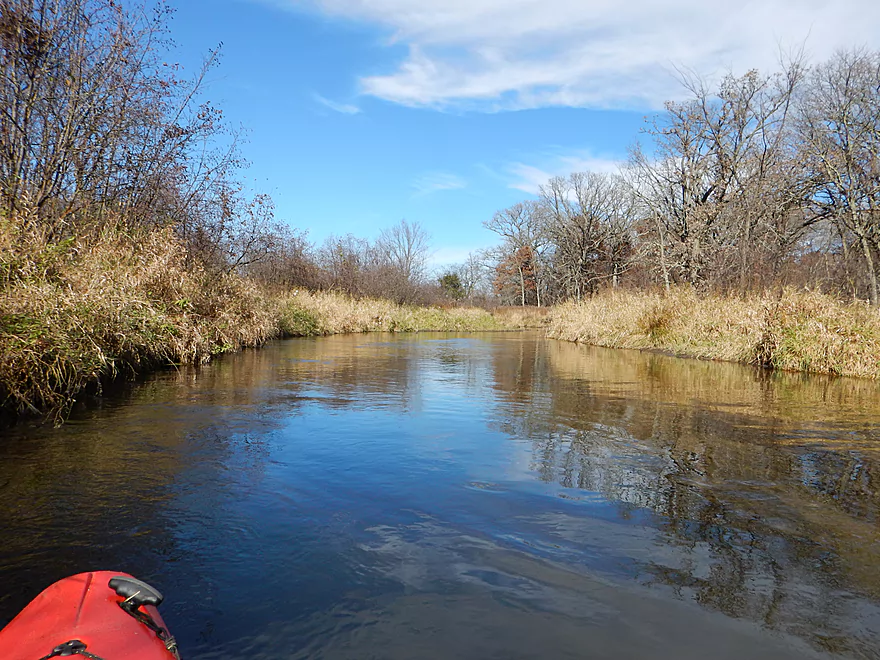
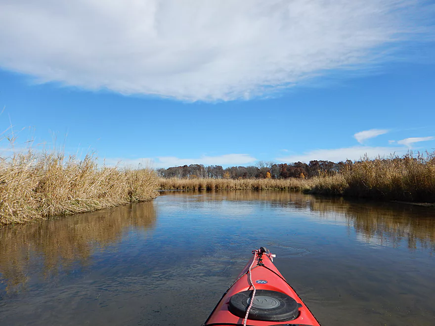
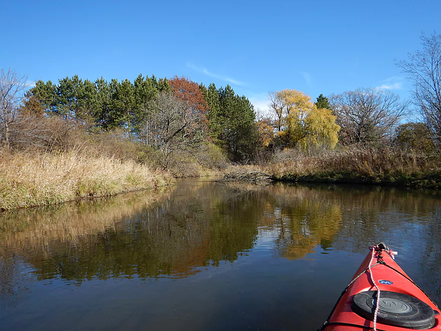
This stretch of Neenah Creek is similar to the upstream “Oxford” section, but a tad slower and not as nice. On the plus side, there are no portages to deal with and the water clarity is terrific. Very much reminded me of the White River (Neenah’s cousin to the northeast). Except for a few at the start of the trip and some at the end, there aren’t many trees on this trip and this is mostly an open wetland paddle. The middle section of this trip goes a little overboard with the Oxbows and this wasn’t as interesting as the rest of the creek. While officially this is 4 miles, it will feel like a longer trip because of all the turning you will do (which, with kayaks, entails braking one side and wasting energy).
So all in all, a solid little paddle with the highlights being the waterfowl, clean water, no portages, lack of civilization and lack of mud banks.
None. There was a fence spanning the creek, but it was very easy to duck under. There was evidence of previous clearing of log jams, which was very much appreciated. Certainly the section upstream of this one had more obstructions to deal with (but that was actually a superior trip).
Pretty solid take-out at Hwy P. Parking and take-out are west of the bridge. While you can take out southwest of the bridge, northwest is probably a better option, with a slight path leading to the shoulder.
The creek flows through mostly undeveloped wetland and chances are you won’t see another human, farm or house on the trip until the final quarter mile. The exception being some hunting towers you’ll see occasionally along the creek.
This is not a popularly reviewed creek, for some strange reason (hopefully, this will change in the future). One individual who has done some nice pioneer paddling of the creek, though, is Frank F. Piraino, who covers it in his book: Small River Canoe Adventures of Wisconsin.
For those who have followed this website as a (mostly) weekly blog saga, this marks the last paddle for 2014. It’s been 30 straight weekends with so many challenges (log jams, rain, high water, log jams, electric fences, getting lost and log jams), but mostly a lot of good adventures. No regrets for 2014, even for the trips that had jams, as those had redeeming attributes (although paddling the Little Wolf at high water was a regret!).
I hope you tune in next spring for 2015’s adventures. I’ll probably start with my “B” prospects (creeks and marsh paddles) and save the good rivers until late May when the leaves are out for photography. While I do have a number of prospects in mind, I do appreciate suggestions. Even small details and tips for marginal prospects are very much appreciated. You can contact me by commenting at the bottom of this page, using my official contact form or by using one of my social accounts:
![]()
![]()
![]()
![]()
![]()
These are updated after every trip and are a great way to notified of the latest reviews.
Until next year…
Detailed Overview
Main Branch: Click here to see an overview map.
- Upstream of Peppermill Creek: I suspect the creek is too congested to run
- 1st Lane (Peppermill Creek) to 1st Court: 1.1 miles. First half is a nice, clear, and open stream but there is congestion after that.
- 1st Court to Seeley Lake Access: 2.8 miles. Amazing clarity, nice riffles and steep hills…but serious logjams issues. Been on my to-do list for a while…
- Seeley Lake Access to West Chauncey Street: 0.6 miles. Mostly pleasant lake paddling with a dam to portage.
- West Chauncey Street to Hwy A: 6.8 miles.
- West Chauncey Street to Fox Road: 1.9 miles. My favorite section with incredible clarity. This stretch is more wooded and hillier than other legs. Logjams can be an issue. Cleanup work has been done, but 2-3 logjams may remain.
- Fox Road to Hwy A: 4.4 miles. Attractive leg with good clarity. Starts wooded, but quickly transforms into an open wetland paddle with many tight turns. There could 1-2 logjams.
- Hwy A to Hwy P: 4.1 miles. My second favorite section. Very nice wetgrass paddle with great clarity and no logjams...best saved for a sunny day.
- Hwy P to Grouse Drive: 6.4 miles.
- Hwy P to Hwy 23: 3.9 miles. A pleasant stretch that starts nice with clear, sandy seeps but becomes less interesting when it flows though the marsh.
- Hwy 23 to Grouse Drive: 2.5 miles. A mediocre stretch...less marshy than before, but still very open.
- Grouse Drive to Muskrat Road: 3.1 miles. Creek slows down and widens significantly.
- Muskrat Road to Hwy CX: 4.6 miles. A big, open, and wide wetgrass paddle...at times pleasant with good water fowl, this is likely my least favorite section.
- Hwy CX to Hwy CM (on Fox): 5.8 miles.
- Hwy CX to Dixon Road: 4.1 miles. This is more varied, narrower, and nicer than the preceding leg. It's mostly open marsh paddling but is attractive with a lot of waterfowl. At the end there is a stretch with a lot of dead trees. Sounds worse then it was...the trees skeletons were attractive and we never had to portage (as of 2024).
- Dixon Road to Mouth on Fox River: 1.1 miles. Final leg of Neenah Creek. Attractive bottom-land paddle with many silver maple. This stretch can have logjams, but as of August 2024, none required a portage.
- Mouth to Hwy CM: 0.7 miles. A short leg on the Fox River to reach the next bridge. There is slow current and unremarkable scenery, but it's not a bad stretch. The highlight is the rustic wooden CM bridge.
Tributaries:
- Big Spring Creek: A small, but neat creek with incredible transparency.
- Neenah Creek – South Branch: A slow, simple but pleasant marsh paddle.
- Big Slough Creek: A very slow, broad creek with a lot of history.
- O’Keefe Creek: Too small to run above Mud Lake, but it is navigable downstream of the lake.
Trip Map
Overview Map
Video
Photos Size:
Ironic that I encountered a kayaker coming downstream while trout fishing the upper section of the Neenah yesterday and today I stumble upon your website. Since we never see anyone fishing this section, let alone trying to navigate it in a kayak, I had to wonder if it was you.
Just curious,
Mark
It wasn’t me, but ironically I was in the area Sunday and did paddle Duck Creek on Saturday which is not too far from Neenah Creek.