
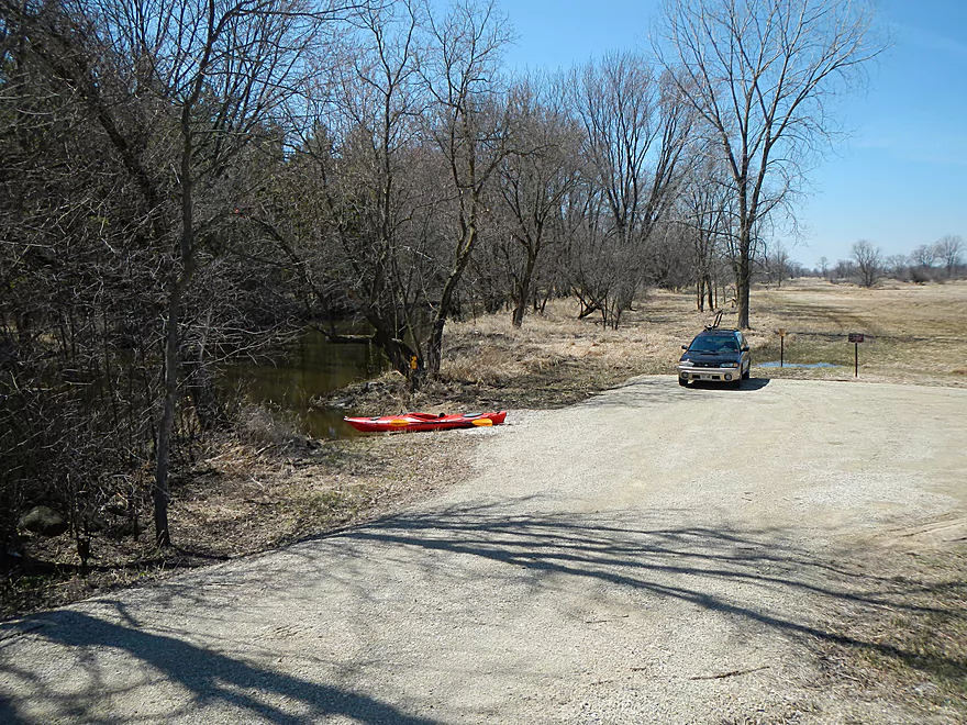
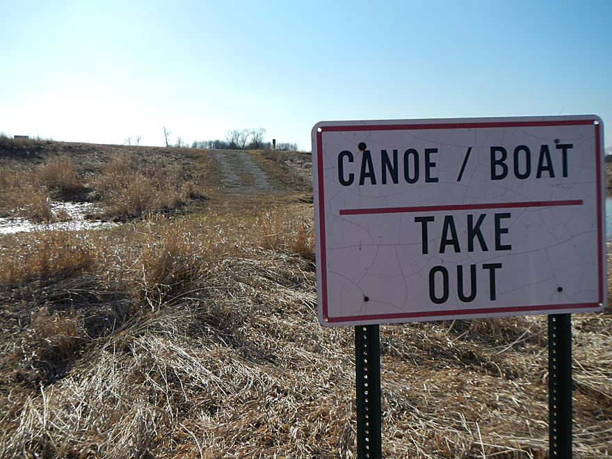
Hwy H Canoe Ramp
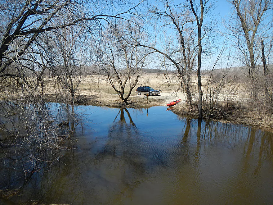
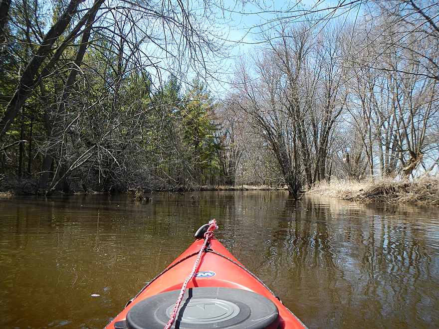
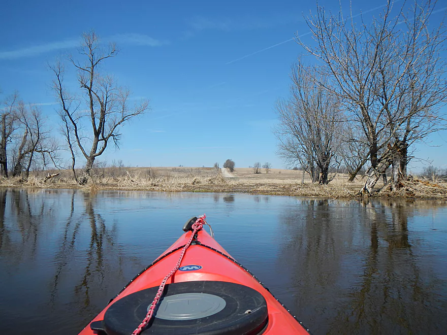
Water is abnormally high
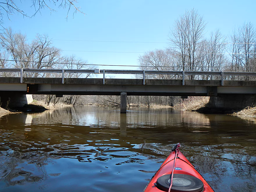
Reverse view of bridge
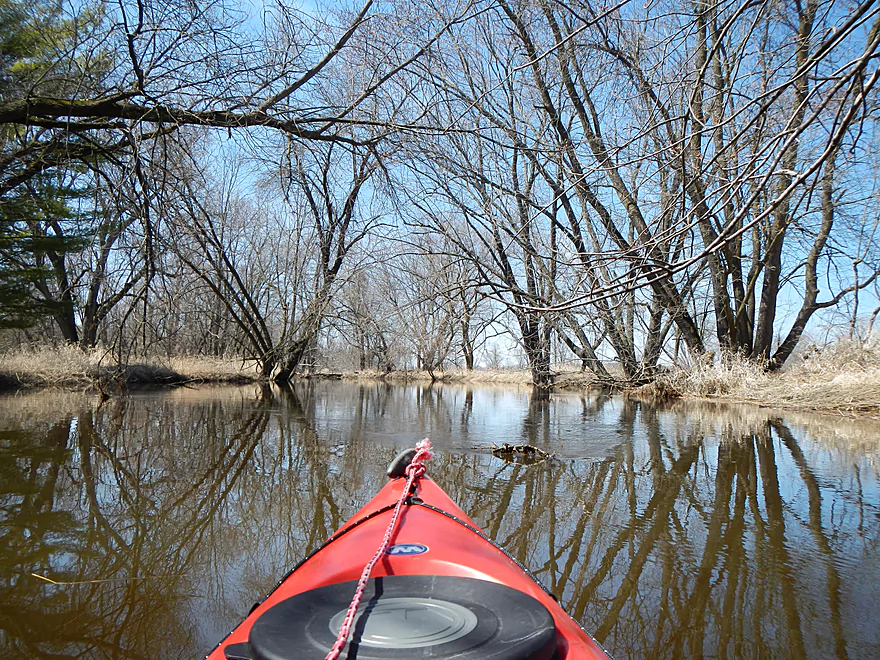
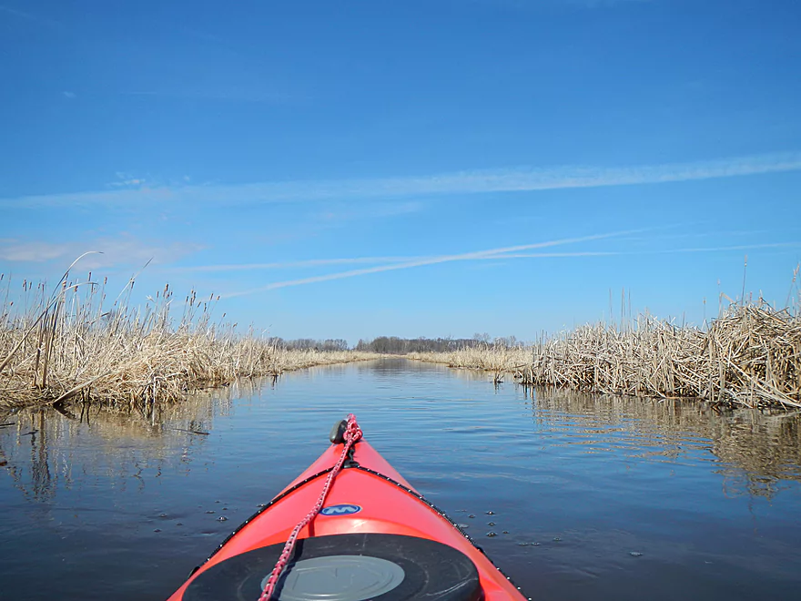
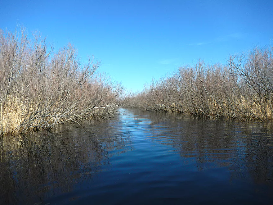
Next mile is somewhat wooded
Feels like the lower Baraboo
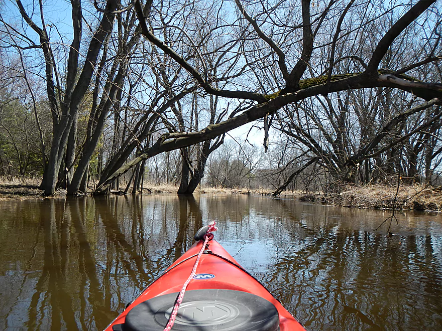
Dodging logs in fast water was a pain
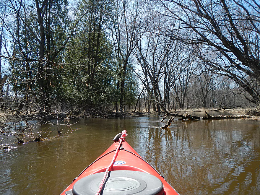
This river apparently does has gotten cleaned out
Dangerous “ducker” in fast current
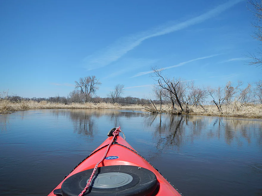
About a mile in, we lose the woods (and the obstacles)
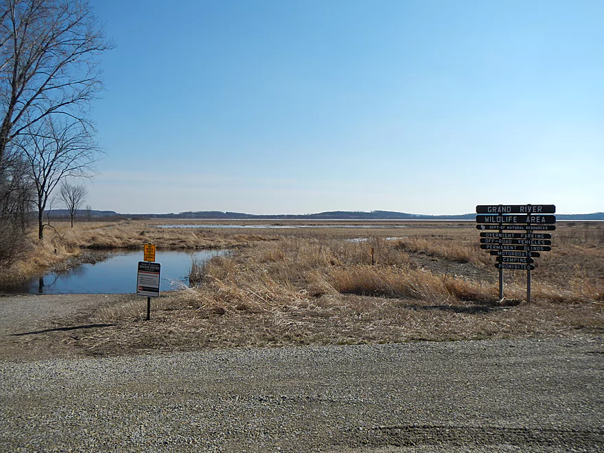
An access area from Grand River Road(?)
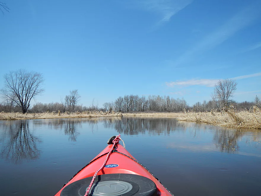
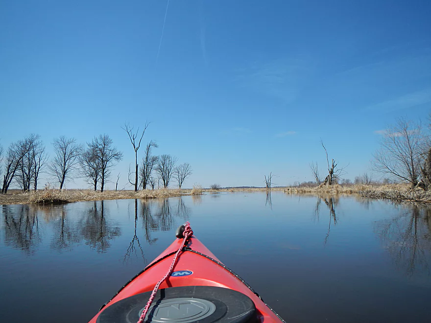
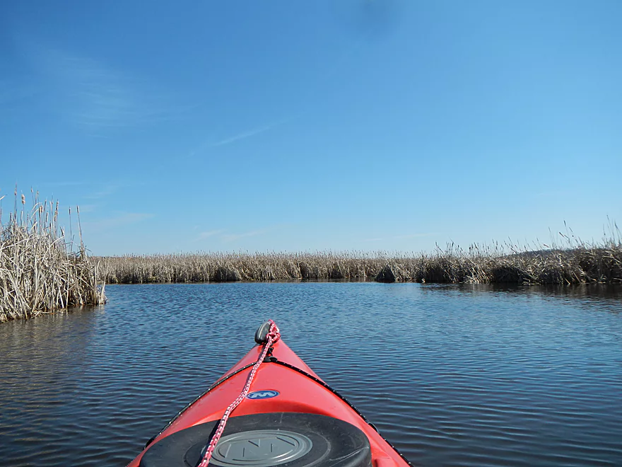
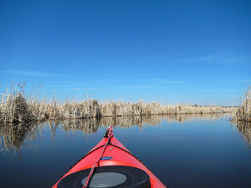
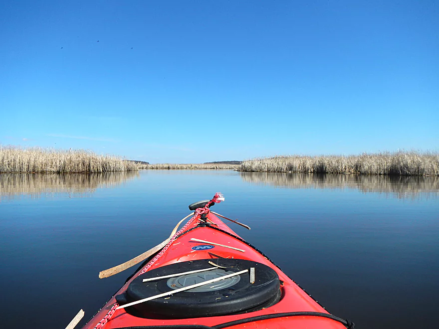
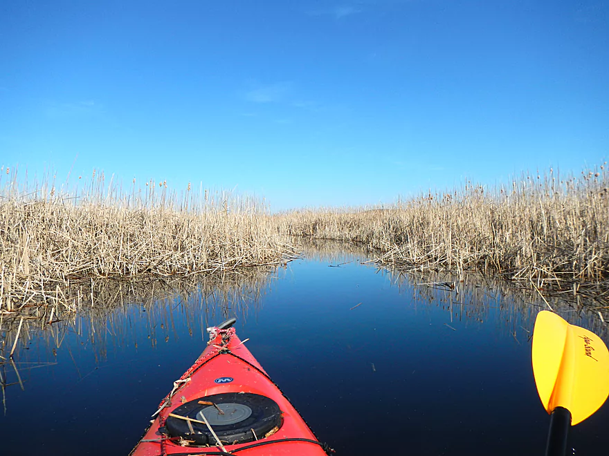
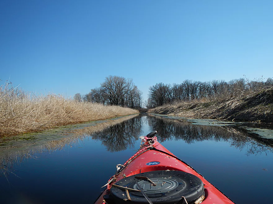
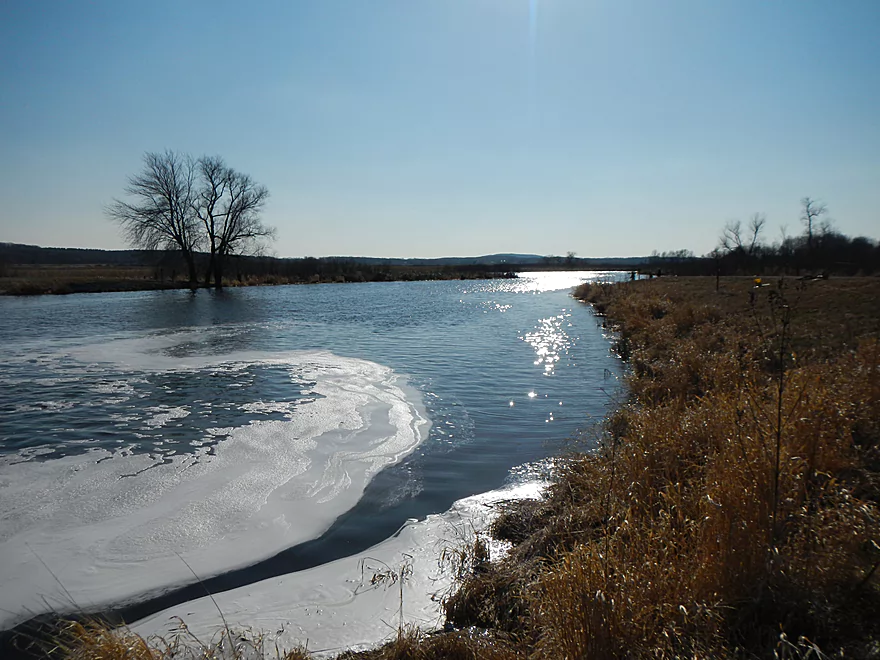
Matching sky and water
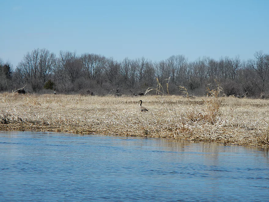
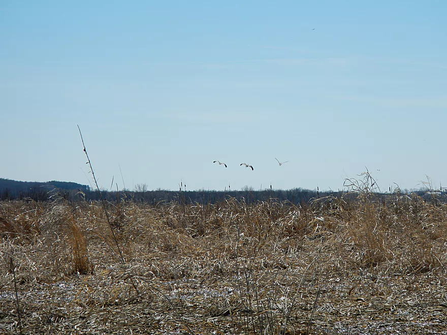
One of MANY geese
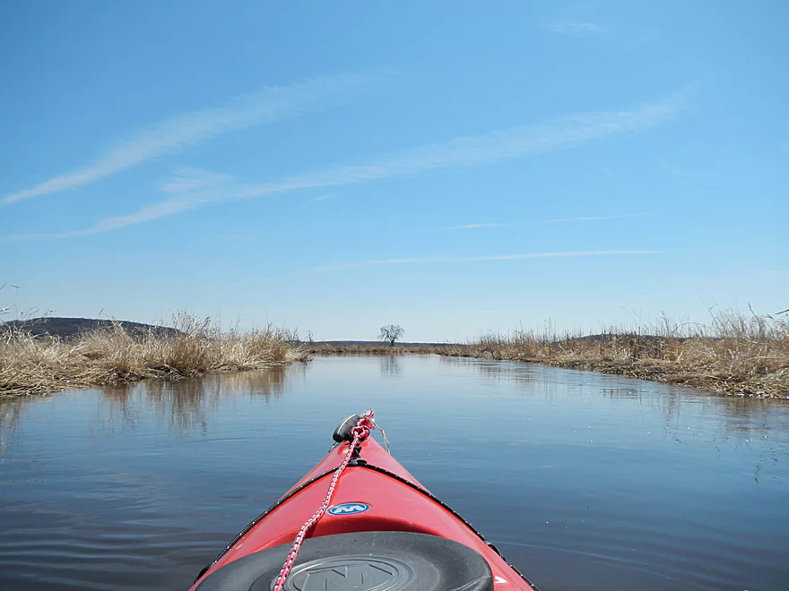
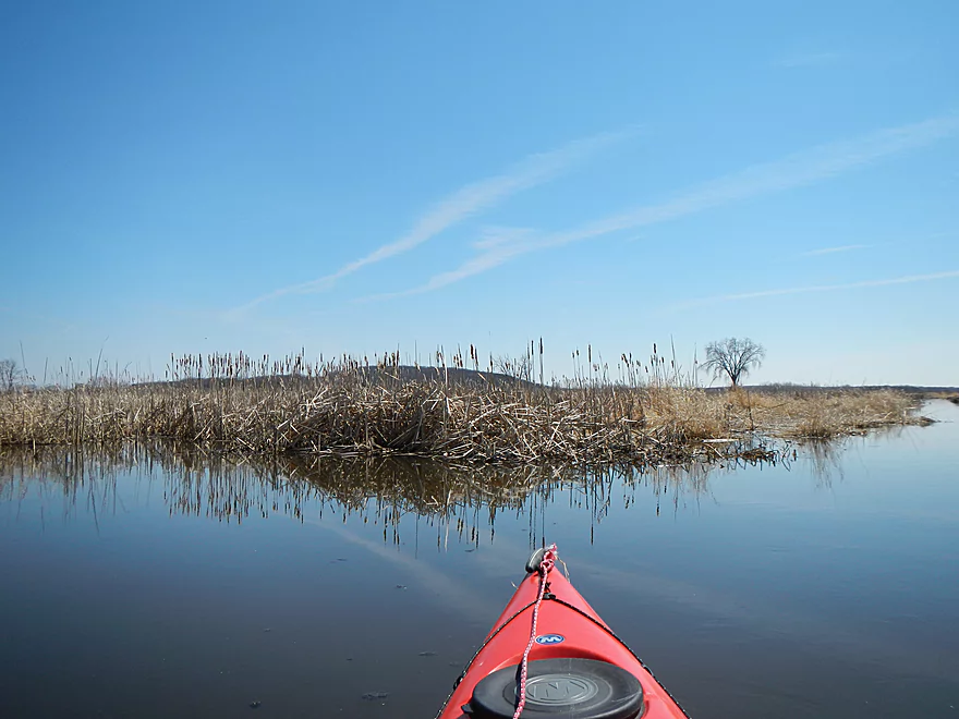
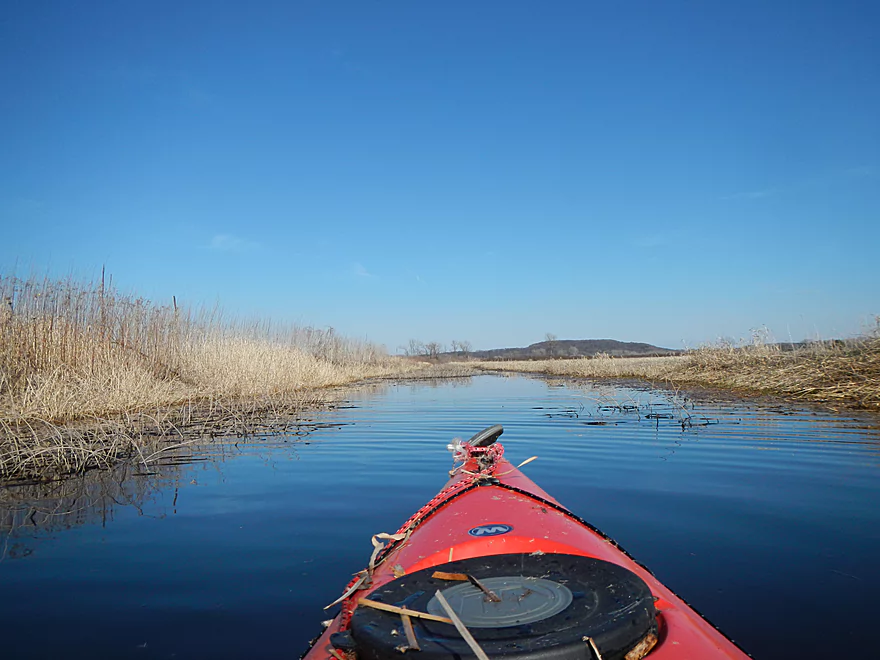
Distance hills were scenic
A tributary I went up by mistake
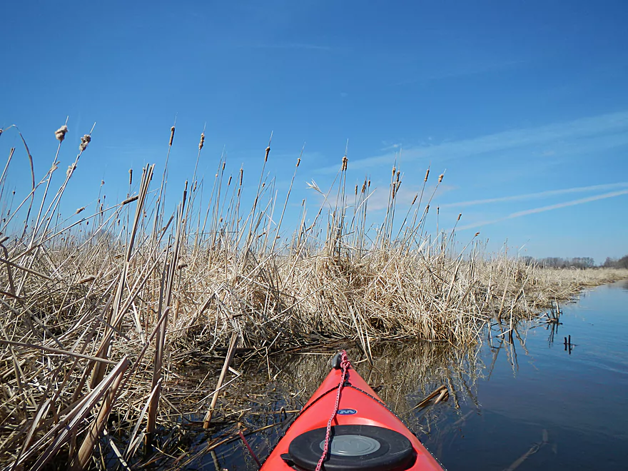
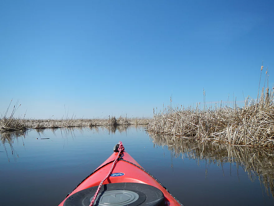
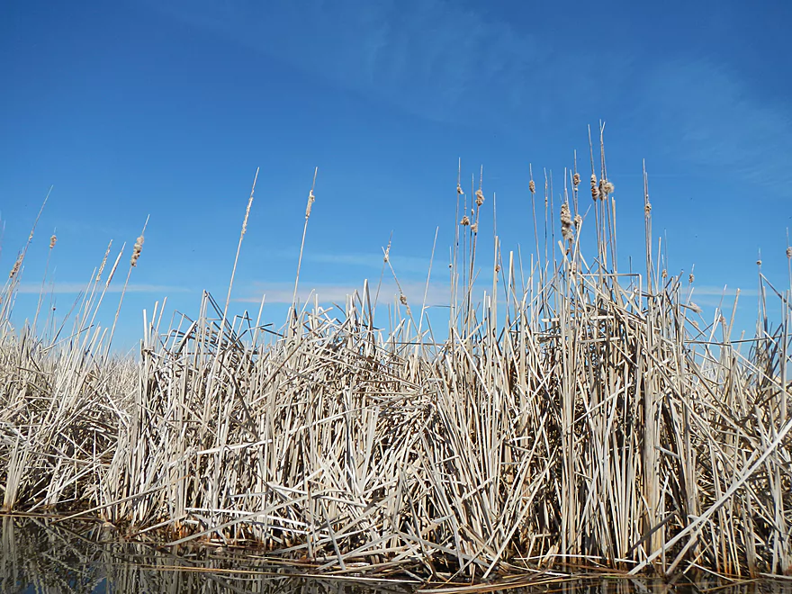
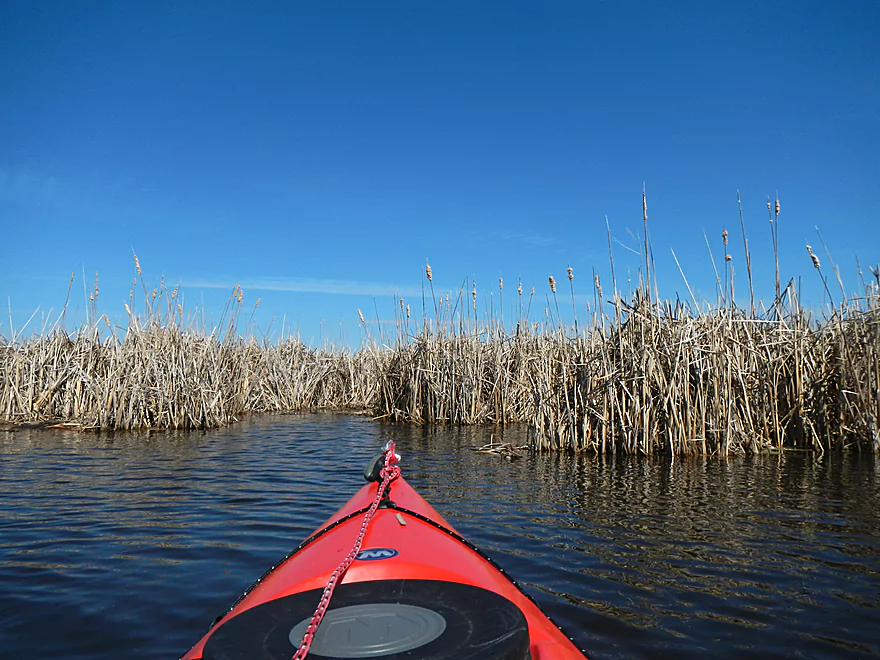
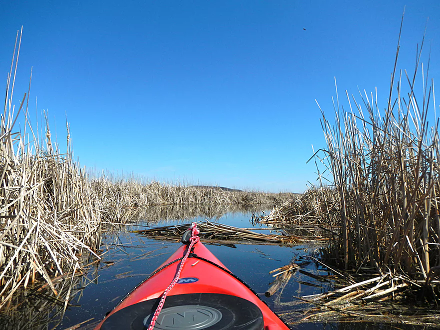
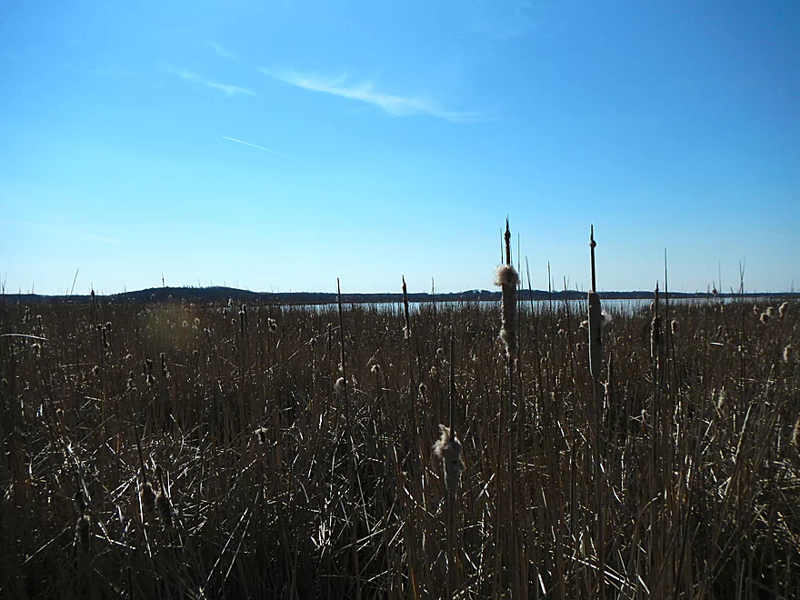
So many cattails
Saw a number of cranes
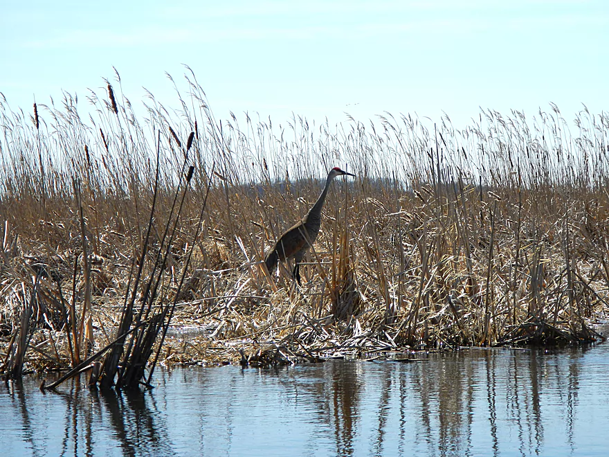
This crane let me get very close
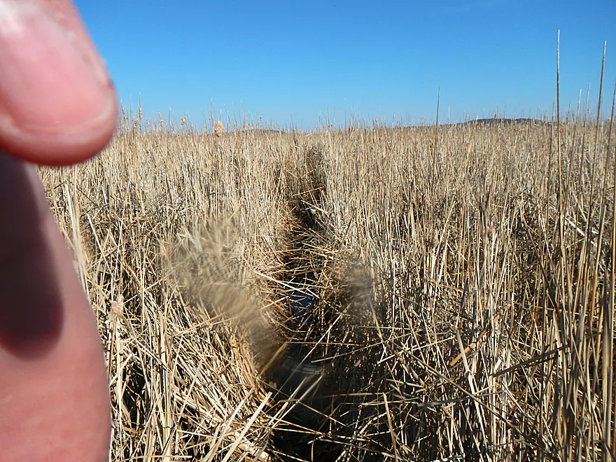
Starting to get lost
A deadend
Going south when I should be going west
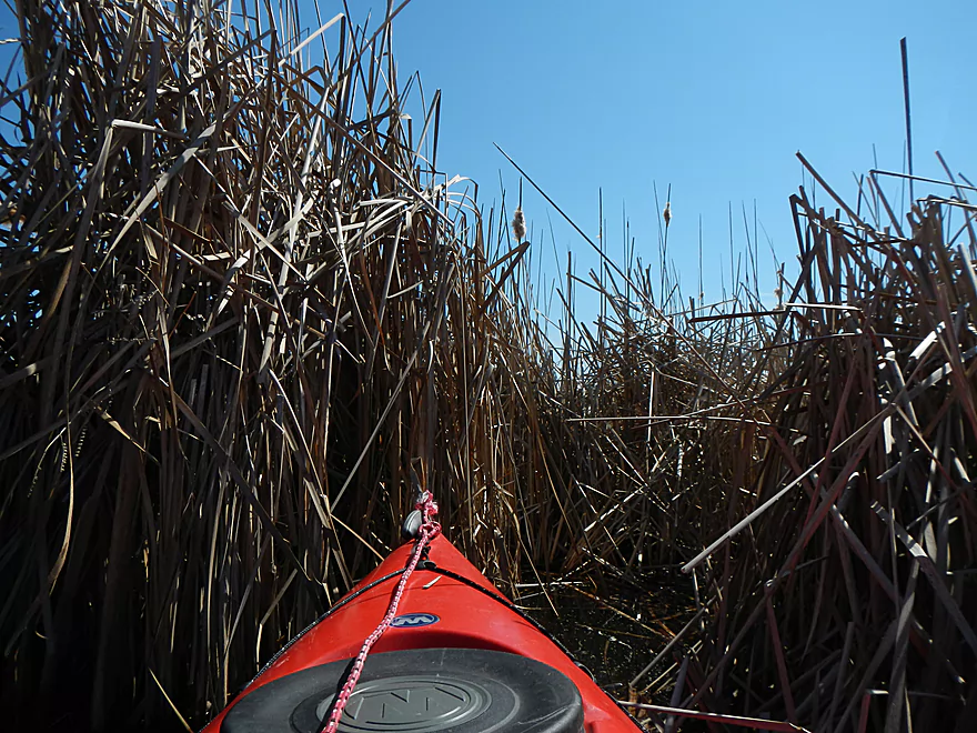
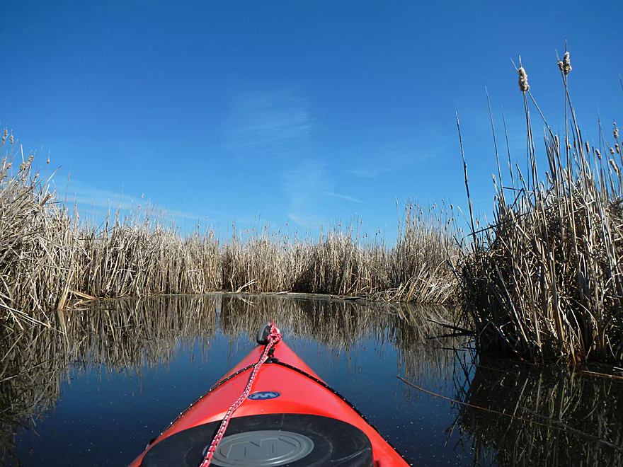
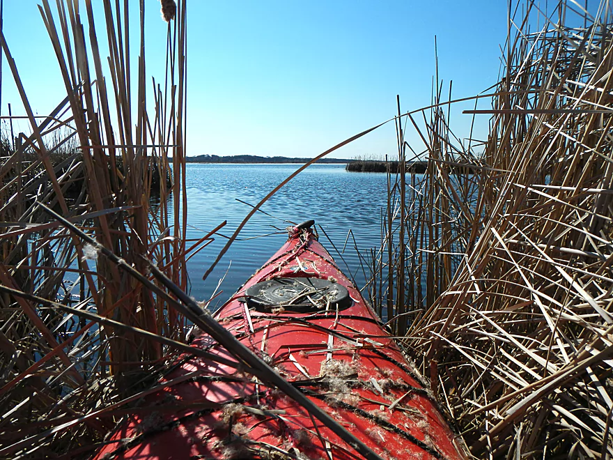
Punching a hole through a “cattail maze” wall
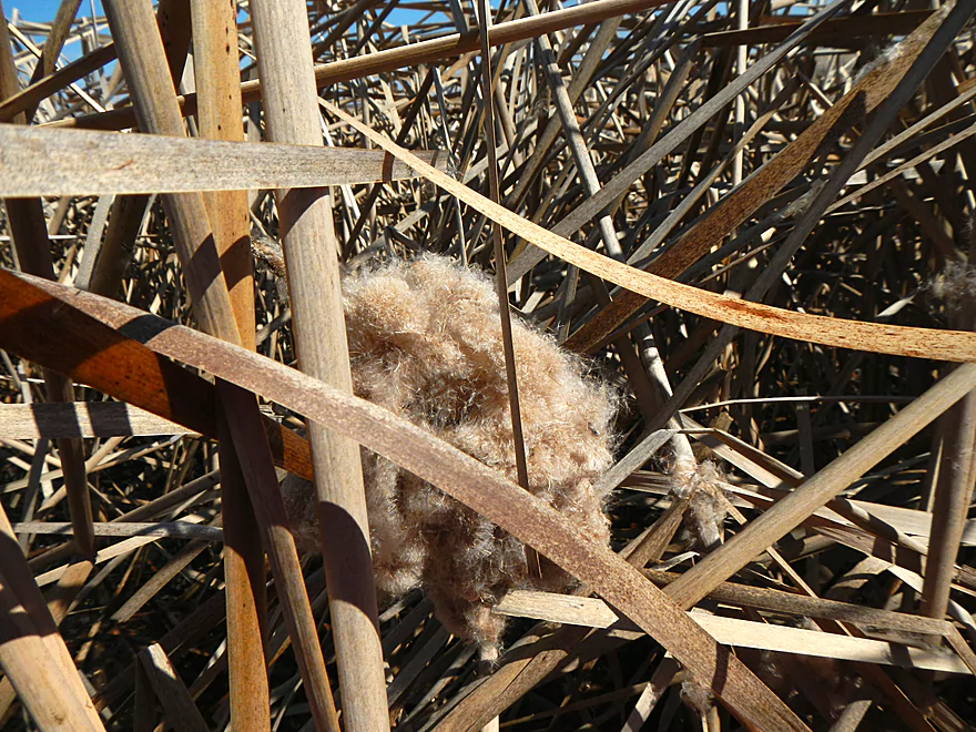
Lots of this fluffy stuff
Finally made it
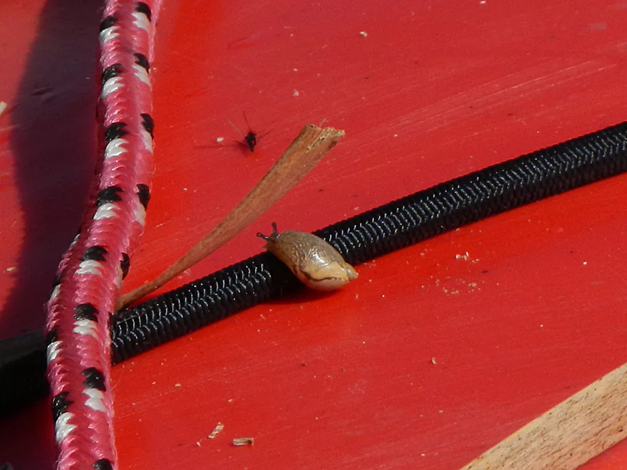
Friendly hitchhiker
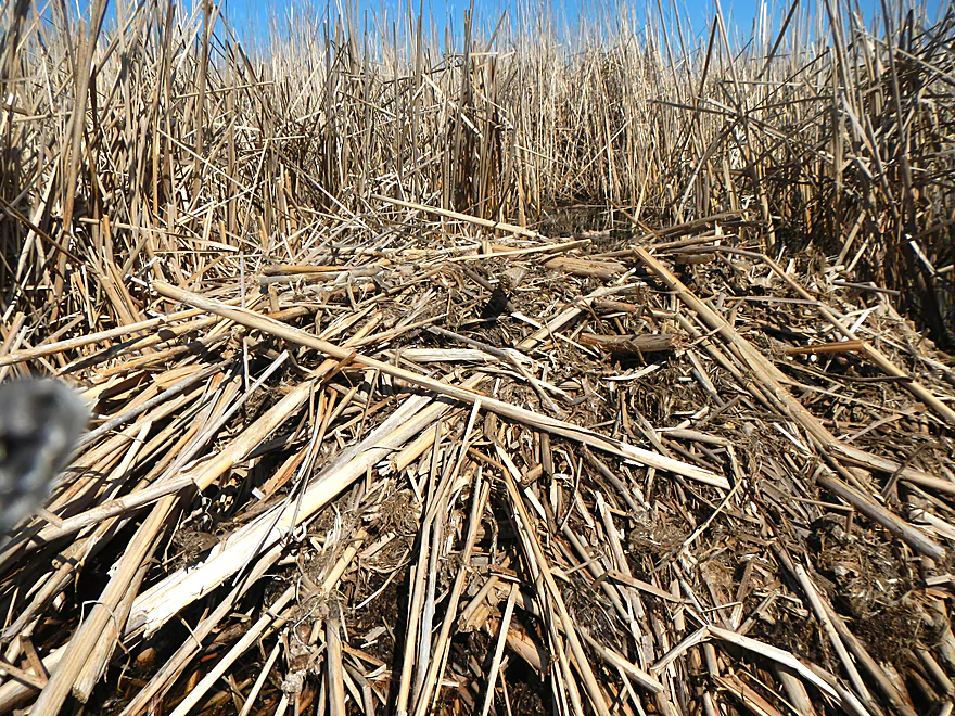
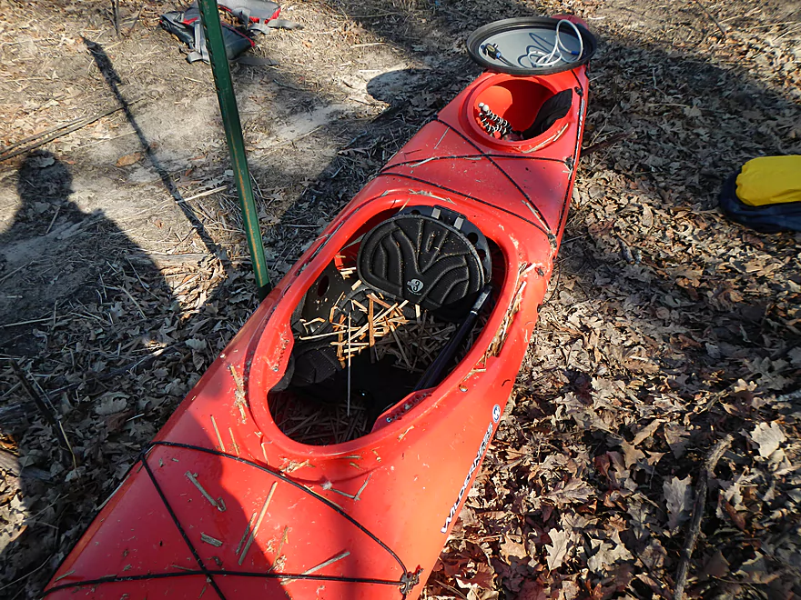
Things got a tad messy…
Muskrat house(?)
Serious “wall in” by the cattails
Pulling myself through
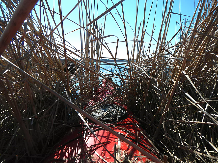
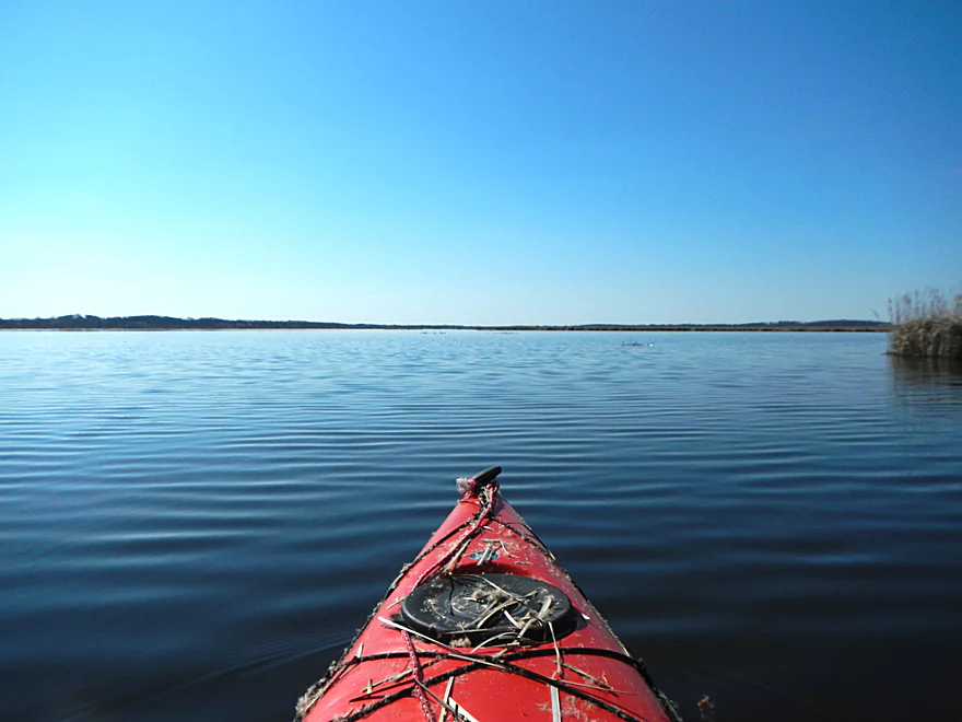
Finally reach the lake!
That was not fun
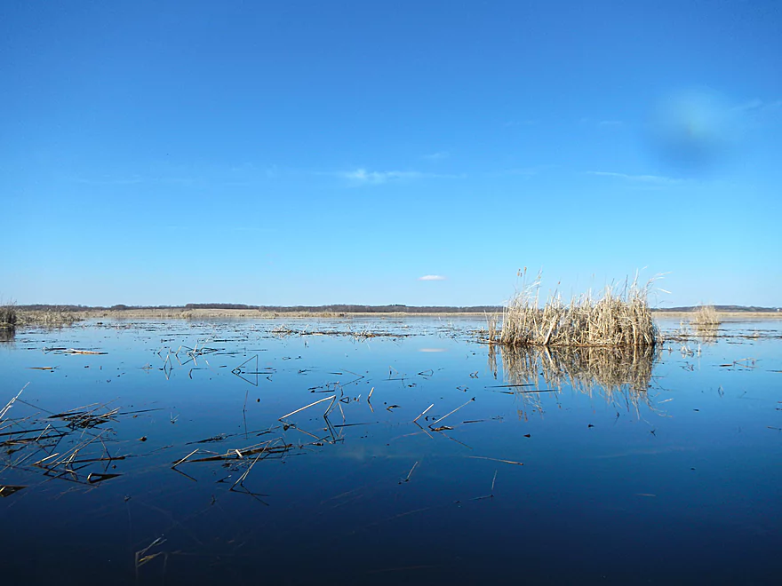
The lake or “Grand Marsh” is quite large
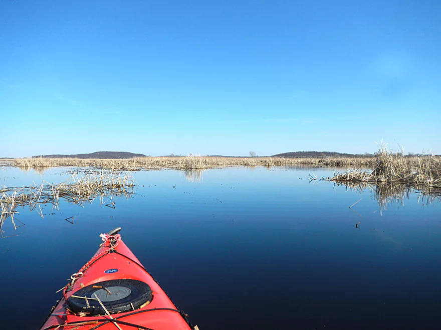
Nice hilly vistas
Now trying to find my take out canal
Much relieved to find it
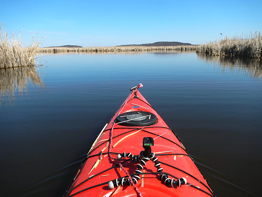
One of many side canals
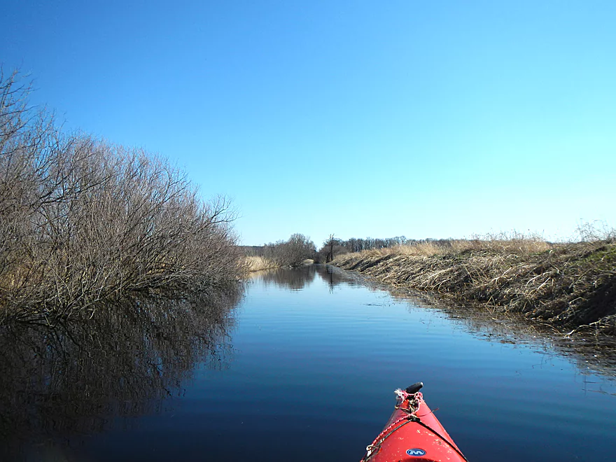
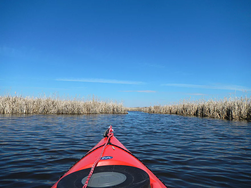
The ditch/canal is quite large
Reverse view
Finally see the landing
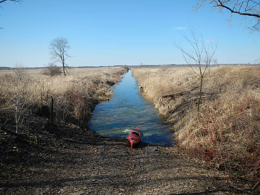
Creek to nowhere
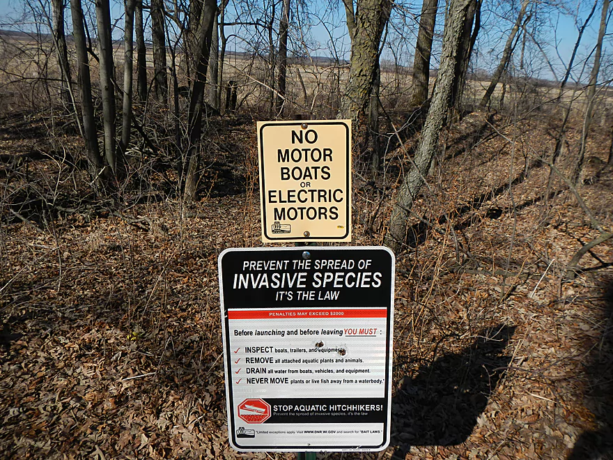
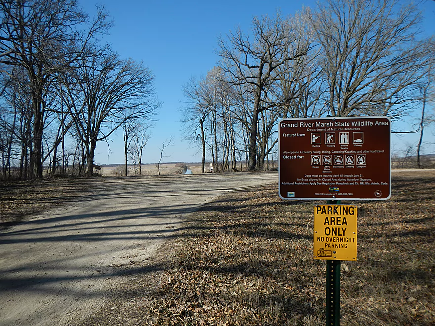
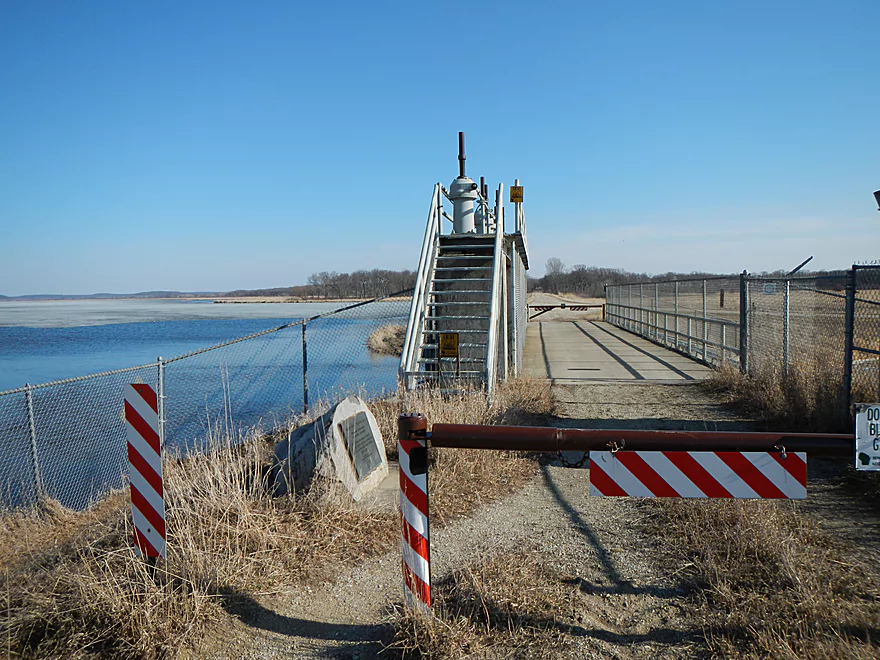
Fountain Creek Wet Prairie Canoe Launch
Nice parking and secluded launch
It was in worse shape earlier…
Alt put-in (one of many)
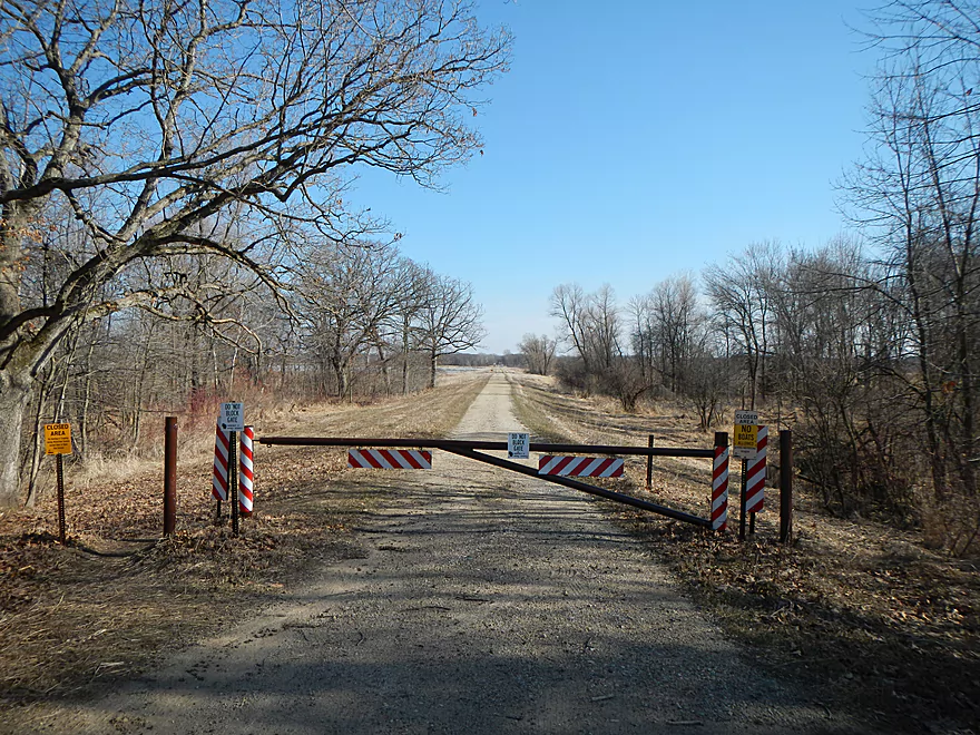
Access to the dam put-in (closed seasonally)
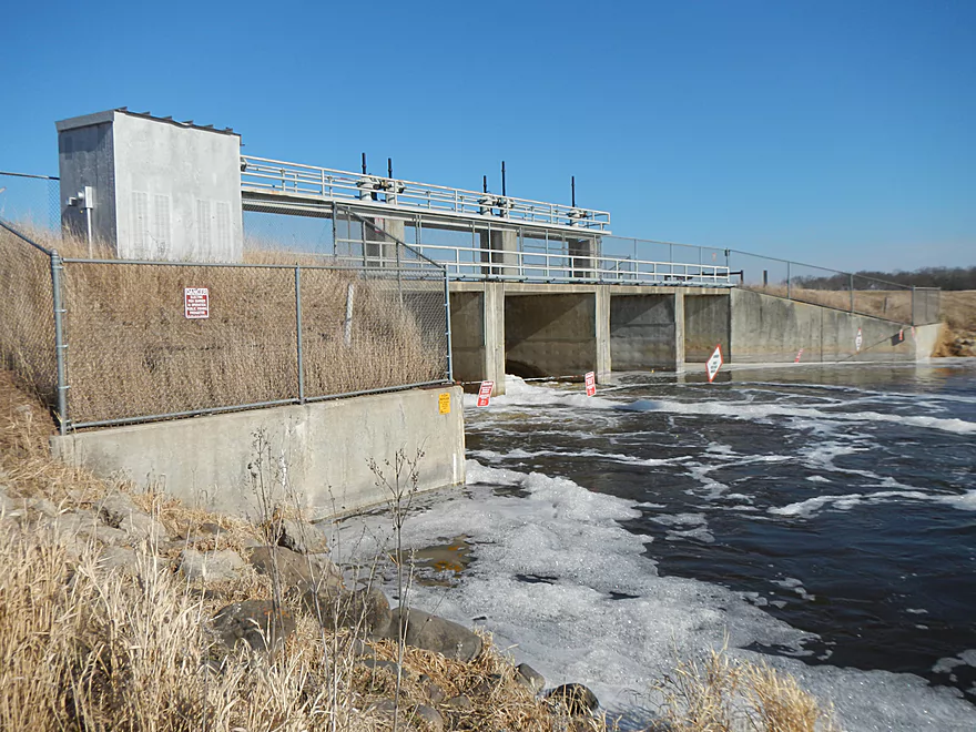
The dam and fish barrier
You can’t drive across the dam.
Easy portage or launch (if gates are open)
Looking downstream…large river
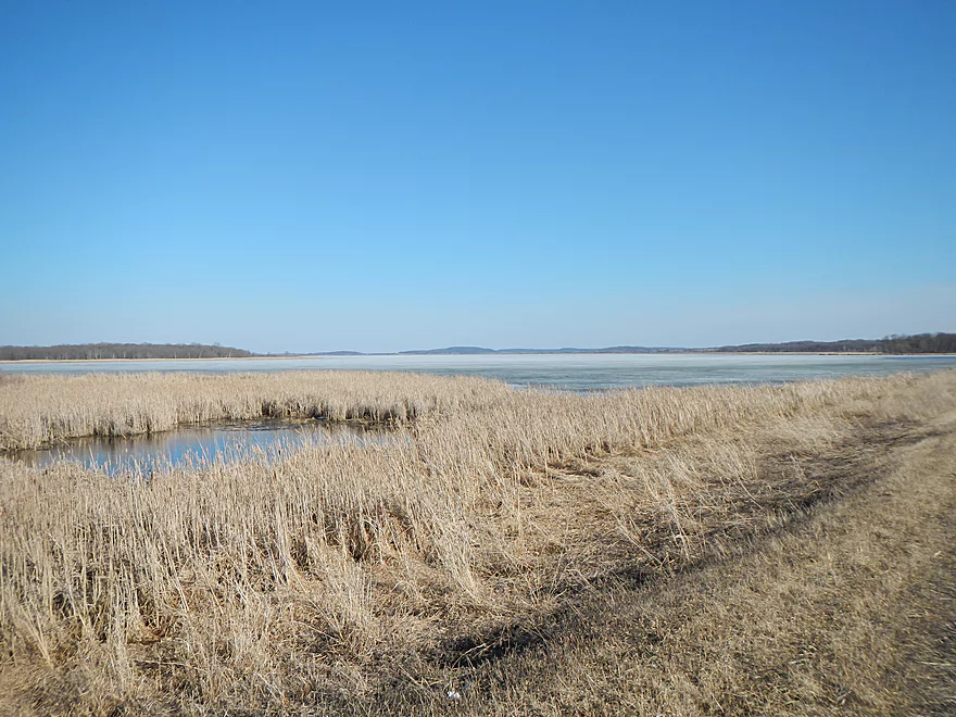
Bad picture, but trying to convey the size of the Marsh/Lake
Grand River

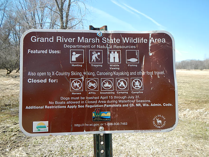
Think Lower Baraboo meets Horicon Marsh and ends on the Portage Canal for this trip. The Grand River is a pretty obscure prospect located southeast of Montello. It flows east to west through a couple of dams and a large marsh/flowage before it empties into the Fox River as a decent-sized tributary. The most prominent feature in this area and for this trip was the massive “Grand Marsh,” which is a large state natural area. Like Horicon, this is a mecca for waterfowl and, like Horicon, has suffered in the past from humans and conflicted interest. To make the area farmable, massive drainage ditches were inserted on the east end of the marsh. This land was eventually abandoned for farming and sold to the state as a protected natural area for waterfowl (or set up as a waterfowl farm, depending on your POV, due to the heavy hunting influence here). In an attempt to restore the marsh from the harm done by the drainage ditches, a dam was created on the west end, but this just turned the marsh into a big flowage lake. Deja Horicon Marsh…instead of putting up a dam, they should have (and still can) just fill in the drainage ditches, get rid of the dam, and let nature take its course.
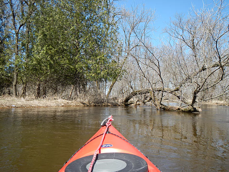
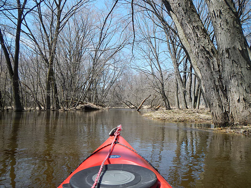
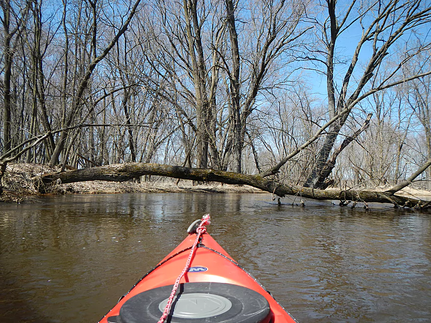
For this trip, I wanted to run a 4-5 mile stretch of the Grand River unaffected by either dam, then cross briefly into the flowage/marsh and work my way up one of the canals to a canoe landing I knew about. Driving over, I was worried about the water levels, based on the creeks and rivers I drove over, and, sure enough, the Grand was quite high, but navigable in my book (barely). The canoe launch off of H is very nice (albeit no bathrooms). Putting in, the river was pleasant enough, with a mild current and not too many log obstacles. Studying the satellite maps, I knew the first mile was going to be the worst and it would be clear sailing after that. Sure enough, the log debris started to kick in and dodging the logs in the deceptively fast current was a pain. It would be very easy to be pinned if you did not navigate this perfectly. The Verrazano-style “duckers” were the worst and most dangerous. This section of the river was too pushy for my taste. But, to be fair, I was going at near flood stage and I assume the river has a completely different character normally. If you went on a July day with the leaves out, a milder current, cleaner water, and the sandy substrate and banks being exposed, it might be quite nice.
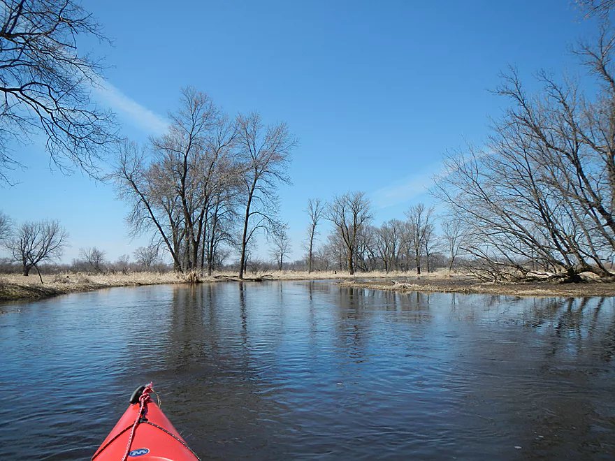
After a mile, the river slowed down, the trees went away, current slowed down, and the debris vanished, turning this into a completely different river. Probably nothing too exotic about this section of the river. Mostly monotonous wet prairie, but the flatness of it all with the blue water, blue sky, hills in the distance, and the wildlife (and constant waterfowl chatter) made this attractive. In many ways this felt like a mini-Horicon, but I actually liked the Grand Marsh better. The wildlife was one of the highlights of the trip. Saw…a turtle, what appeared to be two otters, ducks, lots of cranes, muskrat houses, countless geese, and many birds that I couldn’t identify.
After five miles or so, the Grand River is supposed to empty into the Grand Marsh and I was set to start my lake paddling–in theory anyways. Finding the mouth outlet proved to be the darndest difficulty. I had studied multiple maps in advance and had a map of the marsh on my camera. Unfortunately, all maps were out-of-date, the flood waters were opening up false passages through the cattails, and the cattails had choked in a number of channels (significantly so in some cases). My first error was in heading upstream on a creek tributary that I thought was the Grand because of the size (deceptive because of the flooding). After a couple of cattail maze dead-ends, I finally got back on the main track. Then close to where the Grand was supposed to empty into the lake, I saw what appeared to be a wall of cattails. I should have poked around more thoroughly in hindsight, as there might have been a clear channel through or just a thin cattail maze wall that would have required a minor ramming effort to get through. Instead, I headed down a side channel which I mistook for the main river, which actually took me deeper into the marsh. After being dead-ended again, I rammed my way through the cattails (not cool) onto a small little back slough (which I didn’t know was being fed by the canals and creeks to the south). Another dead-end, and this time I was really stuck. Standing on my kayak, I could see the lake, but it was like 30 yards through pure cattails. So, foot by foot, I pulled myself through in a Fitzcarraldo-type effort, getting lots of cattail splinters on the way. Finally, at last, I broke through with probably the worst “portage” I’ve ever had to endure and my kayak was a complete mess. Don’t judge this trip on my experience though, as I misnavigated and paid for it. If you bring a satellite picture and a good GPS, you should face minimal difficulties from the cattail wall-ins.
My next challenge was finding the canal where I dropped my bike off. Easier said then done, as there were a number of canal inlets to the southwest part of the marsh, as well as a couple of creeks. I knew my canal was just to the east of a major creek and, after probing the confusing flood-pocketed shoreline, I finally found it (to my eternal relief!) Again, if you do this trip, pack good satellite printouts and you won’t have these worries. Initially, I was worried that the canal/drainage ditch would be too small to navigate…not a worry as it was huge. Could be because of the high water, but I think even during normal water levels, these ditches are quite navigable. They were kind of interesting in their own right, and I suppose you could make a trip out of exploring this drainage network. At the end of the “creek to nowhere,” you will come to the Fountain Creek Wet Prairie State Natural Area Canoe Launch. Very nice launch that is secluded (always appreciated when you are leaving your bike/kayak behind when shuttling).
I’m only giving this trip two stars because of the debris dodging on the first mile of the trip and getting lost and fenced in by the cattails at the mouth. Aside from that, this is a nice trip and has more potential if done at lower water levels (although, granted, I’m not sure if that makes the cattail walls worse). I lucked out with the weather in that there was little wind/wake. Definitely don’t do open water paddling like this if you have a headwind of say 8 mph or more. The bike shuttle was a very pleasant 4-mile trek though Amish country overlooking the Grand Marsh, with just light traffic (and I had the honor of being tailgated by an Amish buggy…and to my credit he wasn’t gaining too fast on me).
There are numerous other water trail options you can take for the Grand River. I believe upstream of what I did, there is a 4 mile segment that would be navigable from the Kingston dam to the Hwy H landing. It’s quite wooded, so deadfall could be an issue, but I saw extensive chainsaw evidence below H, so it is possible this upper section has been made navigable as well. Upstream of that, I have no idea. Another take-out idea aside from the ditch I used, would be Fountain Creek (which runs just along my ditch). That would be easily navigable, but there are not 1, not 2, not 3, but 4 “no parking” signs loosely spaced from the bridge. Despite enough room to park and it being DNR land, paddlers are being discouraged by the locals from paddling that creek, which is unfortunate. Who else would be targeted from parking next to a creek bridge? I suppose you could paddle the length of the marsh from east to west (about 3.5 miles). But that could be boring and difficult if the wind picks up. At the west end, you’ll get to the Grand River Dam where there is a nice portage area marked for canoers. Be careful of the fish barrier when you put in after the dam. The dam area has north and south roads leading to it, but they are gated off. Supposedly the dam road gates open (so you can drive up to the dam to use it as a launch) the first Saturday of May and closes the Tuesday after Labor Day (not 100% sure of this schedule though). Here is a DNR map of the marsh with other possible landings and seasonally closed areas.
Paddling the Grand River below the main marsh dam is what canoe author Frank Piraino did, which he described as scenic and undeveloped. It looks a little slow, flat, and monotonous for my taste, but I might give it a try in the future. You can then take out on the Fox…either by paddling upstream to the Grand River Locks (there is a launch there) or down to Puckaway Lake (where there are multiple launches).
Two kayakers became trapped in the marsh and had to call authorities to be rescued. Click here for the full story. I suspect the cattails are continuing to encroach on the main channel and navigating them may be extremely difficult now. Be very careful before commuting to this trip. If you are a local who has a drone, consider scouting the area and reporting here what you find.
Detailed Overview
- Upstream of Fairweather: I suspect the river is too congested to run.
- West Street Dam to Hwy Q: 3.5 miles. First half is very riffly, wooded, and congested with perhaps 12 logjams. The second half flows through a state natural area that is quite open and pleasant.
- Hwy Q to Hwy A: 5.9 miles.
- Hwy Q to Utley Rd: 0.8 miles. A nice stretch. Very open, marshy, and with some mud, but good clarity and wildlife. One logjam (easy portage) just upstream of the Utley Rd bridge.
- Utley Rd to CR S: 2.6 miles. A good stretch with no logjams. Very open with a lot of wetgrass in the first half and cattails in the second half.
-
CR S to Hwy A: 2.5 miles. The first half is a nice cattail marsh. The last part narrows and goes through a nice woods. There is one logjam that has to be portaged.
- Hwy A to Village Rd: 0.9 miles. A narrow wooded stretch that is scenic, but has a lot of deadfall...maybe 4-5 serious logjams.
- Village Rd to Markesan Intermediate School: 1.7 miles. Neat little section with some riffles and some nice urban scenery. Unfortunately there may be 5-6 logjams that have to be portaged.
- Markesan Intermediate School to Hwy I: 1.9 miles. I suspect logjams are very bad in this section.
- Hwy I to Hwy 73 Street: 0.9 miles. Good prospect with maybe a few logjams.
- Hwy 73 to Madison Street: 1.2 miles. Great prospect with lively current and little deadfall.
- Madison Street to Valley Road: 4.3 miles. Too many logjams to be feasible.
- Valley Road to Hwy 44 Dam: 3.4 miles. Mostly a good prospect, but the cattail wall on the lake might be quite difficult to get through.
- Hwy 44 Dam to Hwy H: 4.1 miles. A good prospect I hope to do in the future.
- Hwy H to Fountain Creek Wet Prairie Canoe Launch: 5.9 miles.
- Hwy H to Southern Canal Mouth: 5.2 miles. A scenic marsh paddle. The problem is that parts of the river can be choked off by cattails and getting lost or trapped is a very serious concern.
- Southern Canal Mouth to Fountain Creek Wet Prairie Canoe Launch: 0.6 miles. A simple but pleasant paddle through an artificial drainage network. Finding the mouth from the lake can be tricky.
- Southern Canal Mouth to Grand Marsh Dam: 3.2 miles. A large flowage lake that might not be a varied paddle. The east end is silted in, while the west end is open and exposed to wind. Access to the dam maybe only open during the summer.
- Grand Marsh Dam to Fox River Confluence: 2.4 miles. The river here is wide and slow. Likely not super interesting, but this could be a good spot for waterfowl.
- Fox River Take-Out Options:
- Paddle Upstream to the Grand River Locks: 1.2 miles. Paddle upstream to reach the Grand River Locks (good access). Likely a pleasant section of the Fox River. You should be able to paddle against the current unless the river is high.
- Paddle Downstream to Puckaway Lake/Oak Road Landing: 3.3 miles. Part of this would be on the Fox River and part on large Puckaway Lake. There are alternative landings on the east and south sides of Puckaway Lake.
Trip Map
View Grand River in a larger map
Overview Map
Video
Photos Size: