
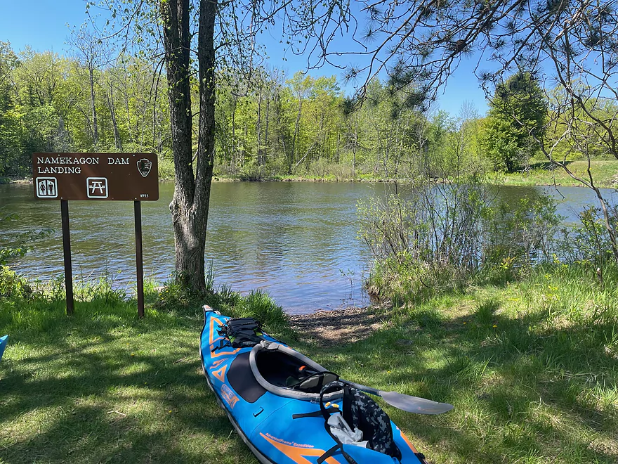
Put in at Namekagon Dam Mile 99.5
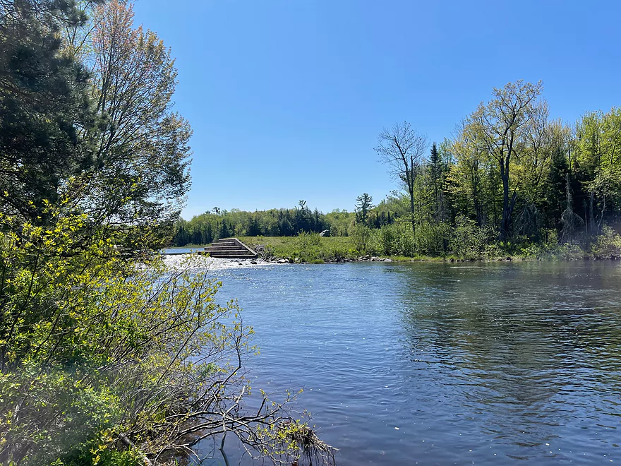
The Dam
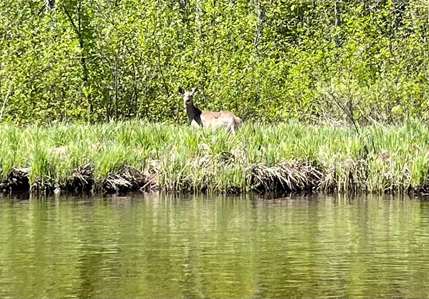
A deer looks on
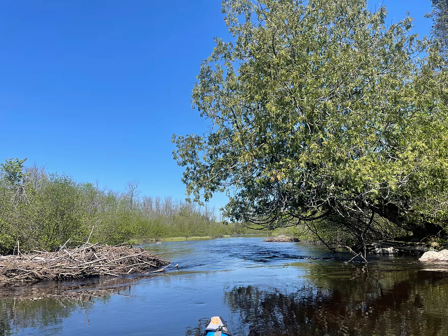
A beaver dam
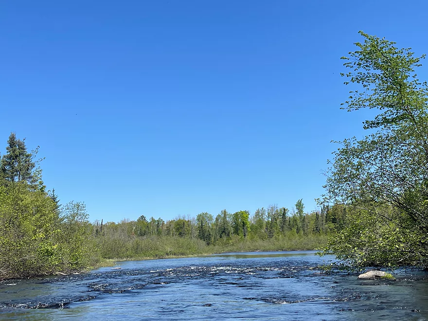
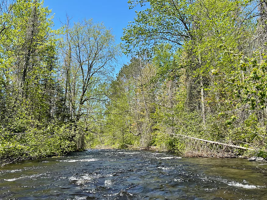
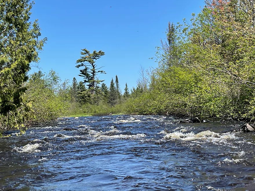
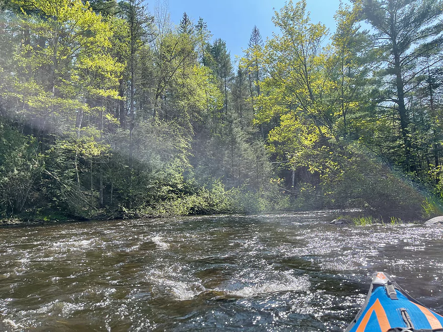
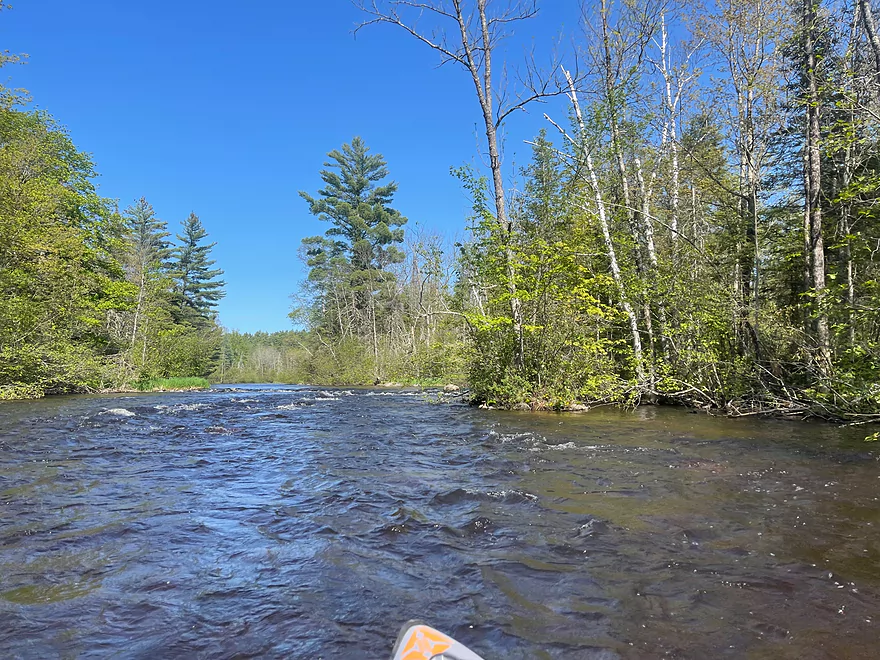
First set of rapids
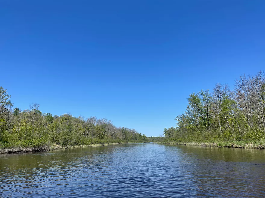
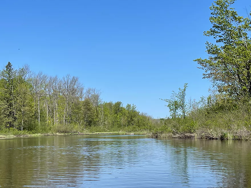
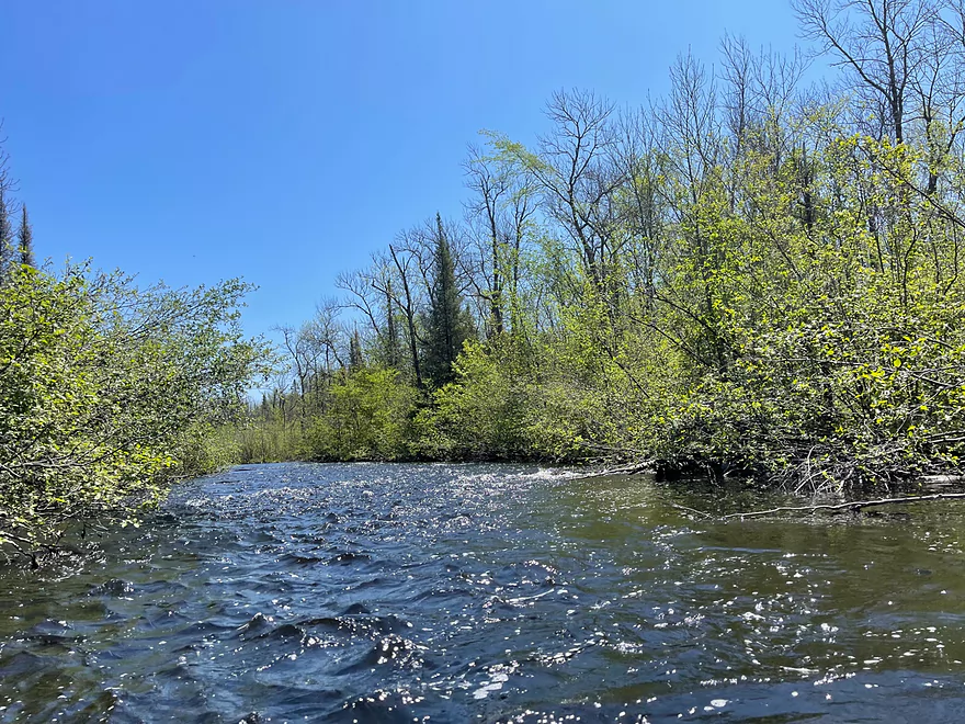
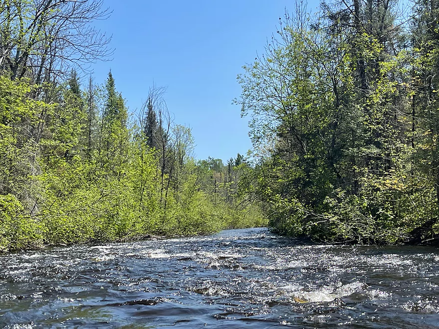
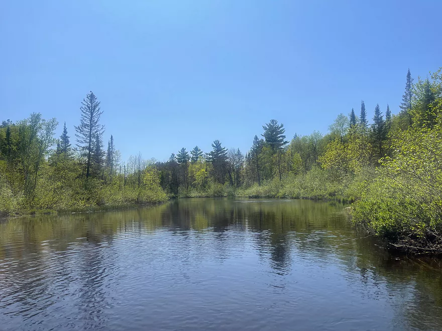
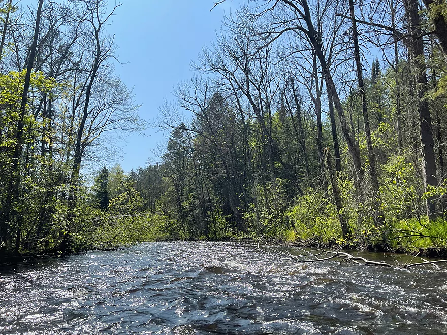
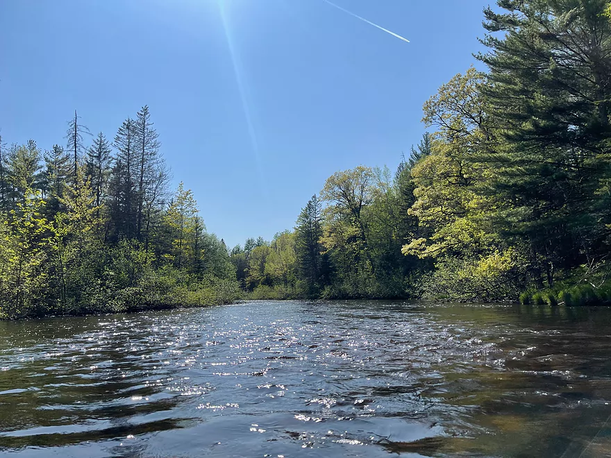
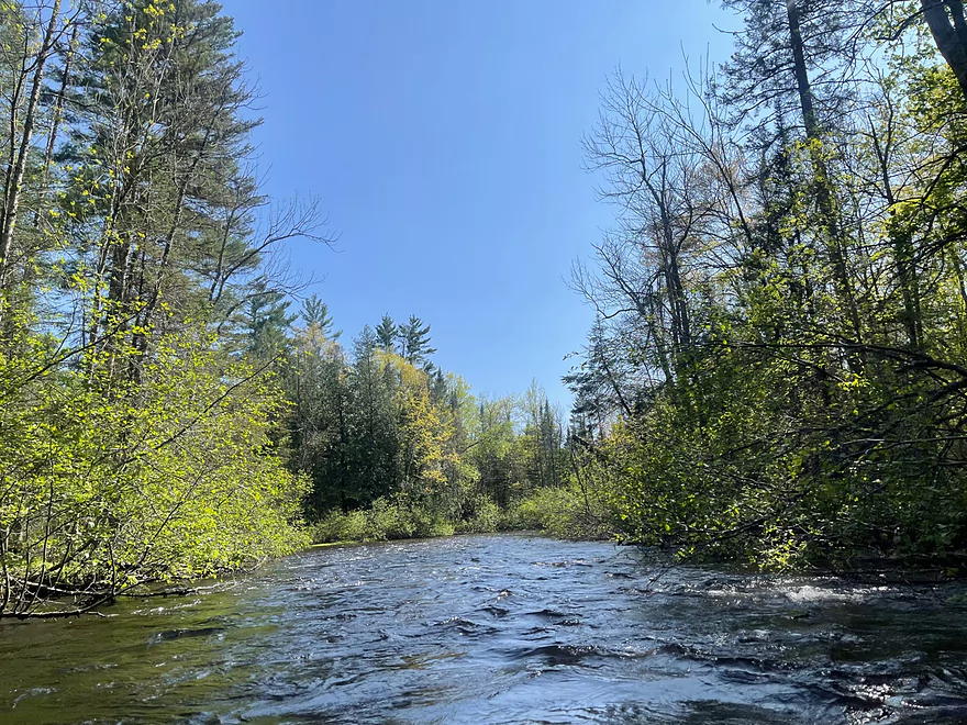
The river narrows
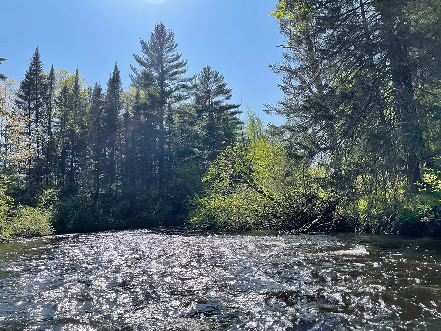
Another set of rapids
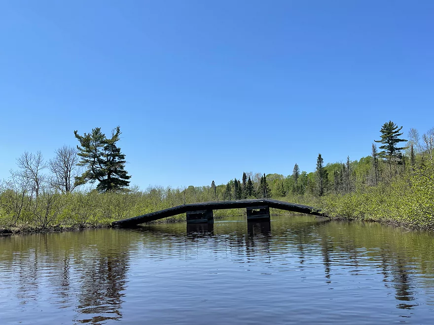
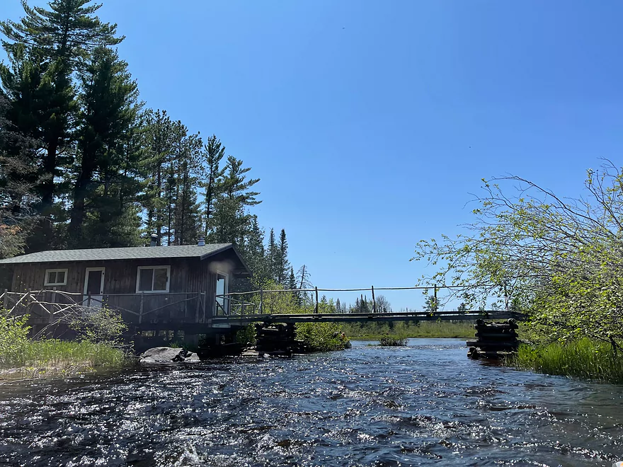
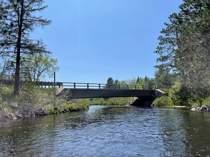
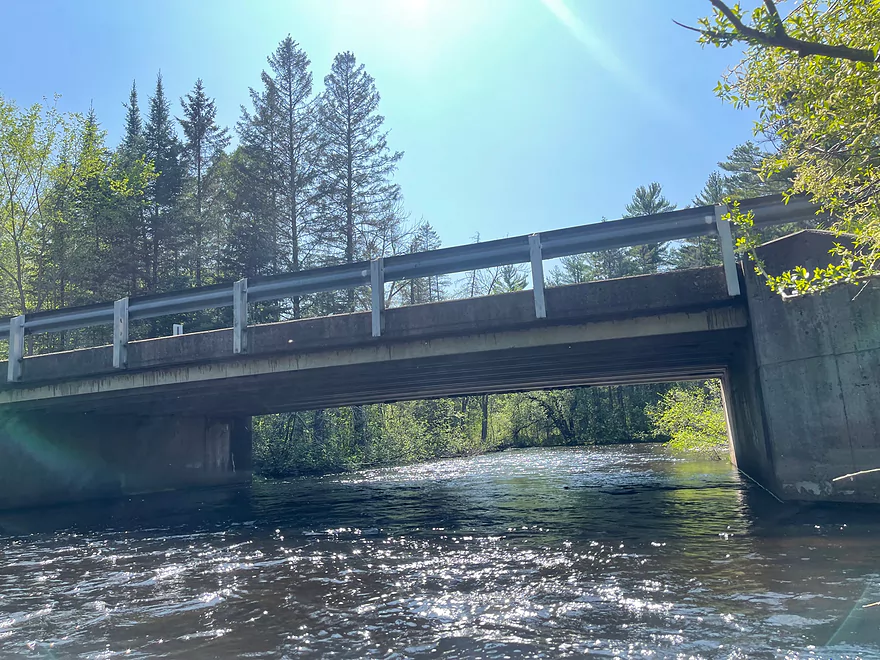
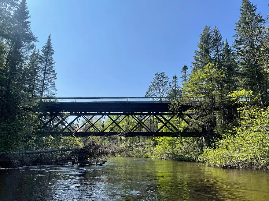
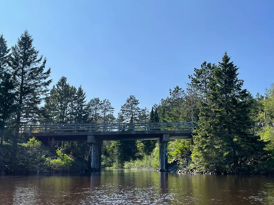
Pedestrian bridge
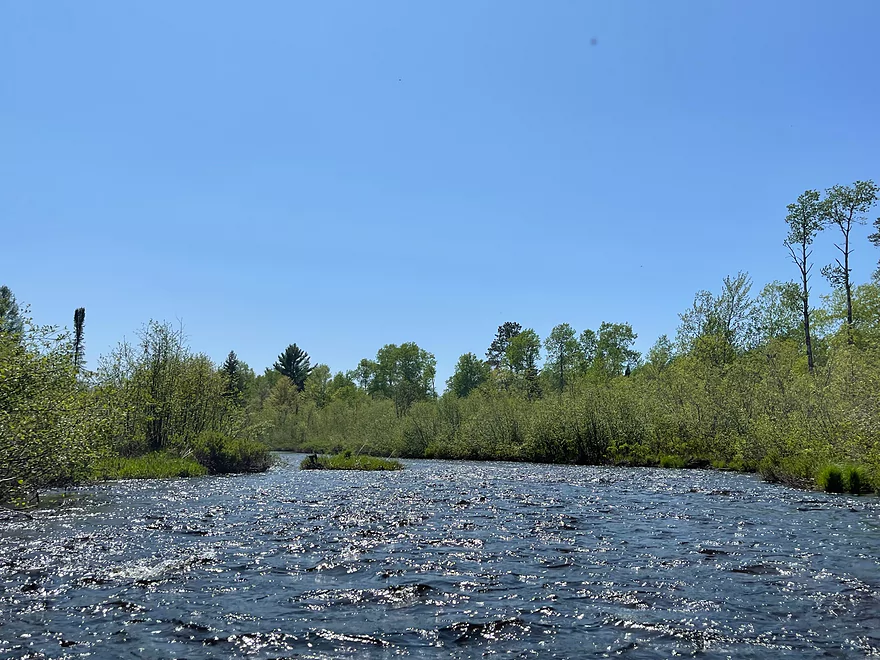
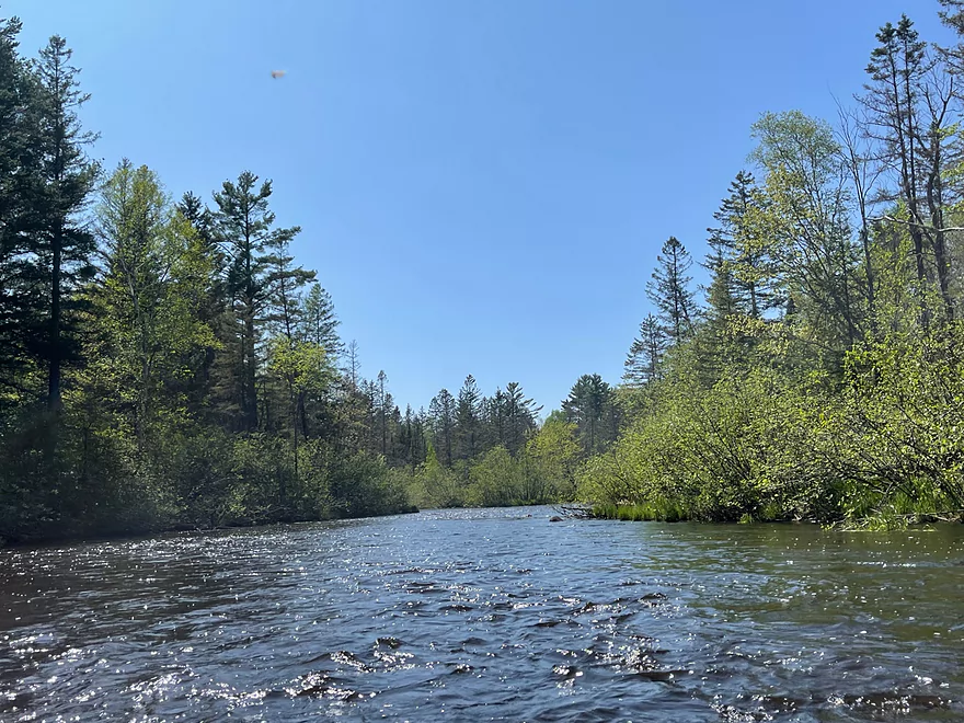
More rapids
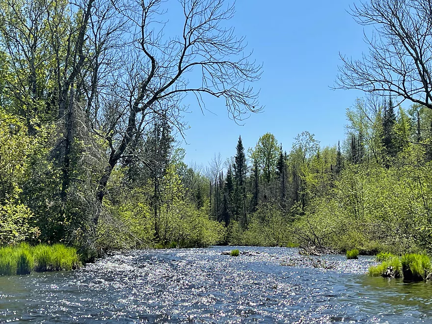
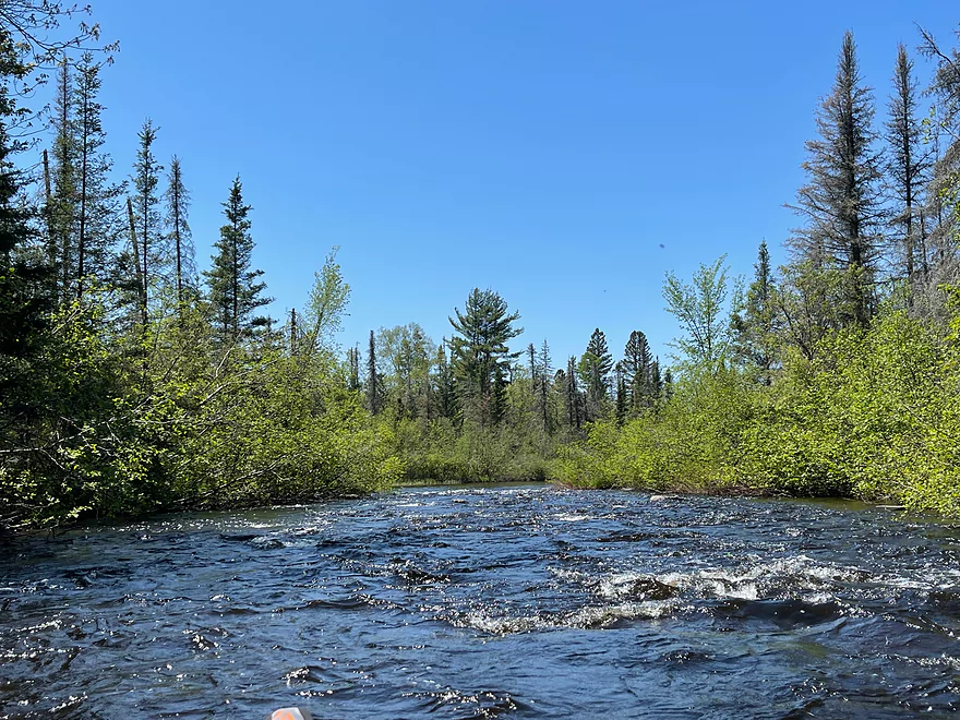
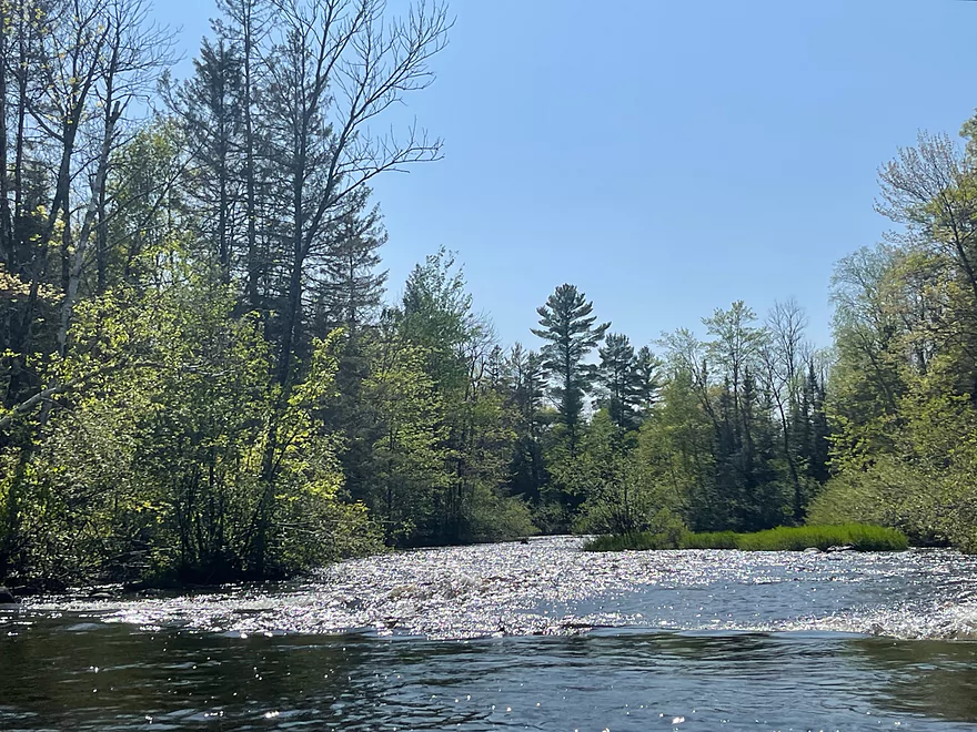
Some Class 2 rapids
Another bridge
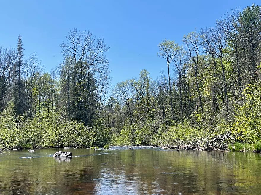
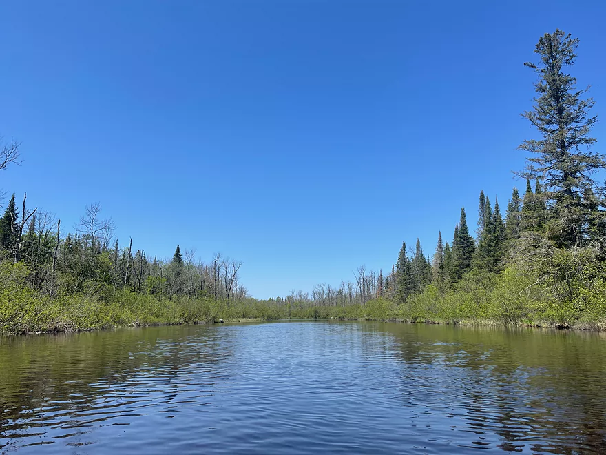
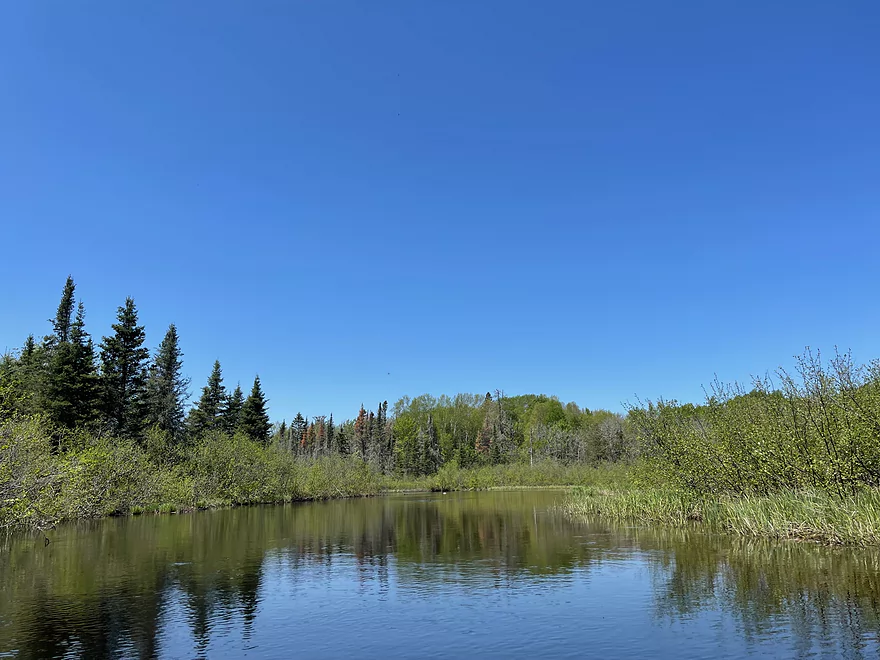
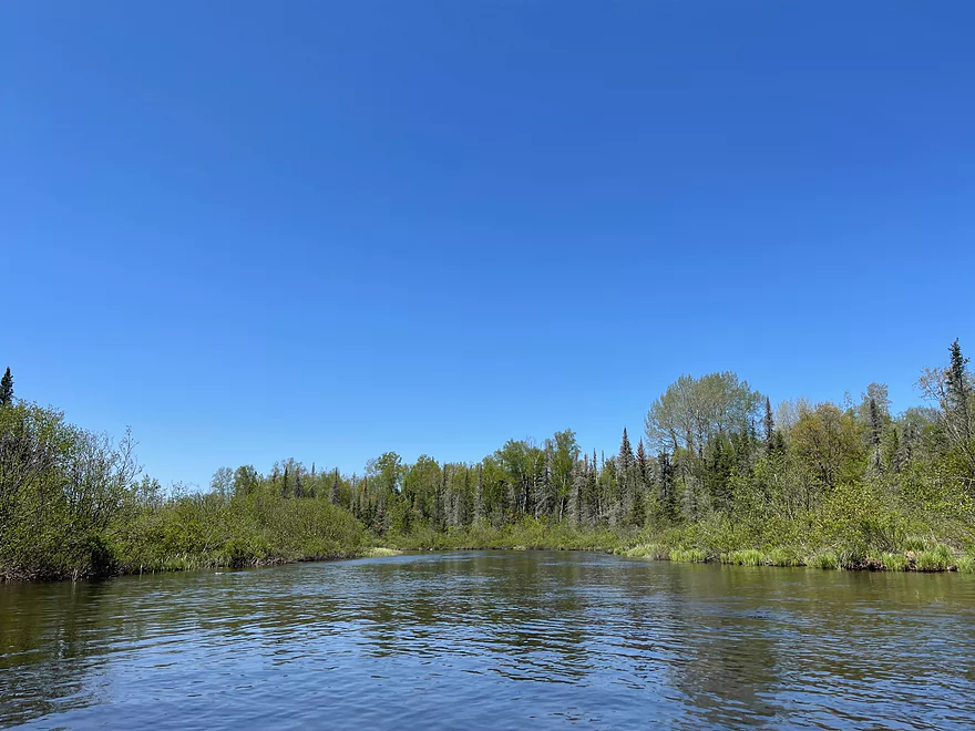
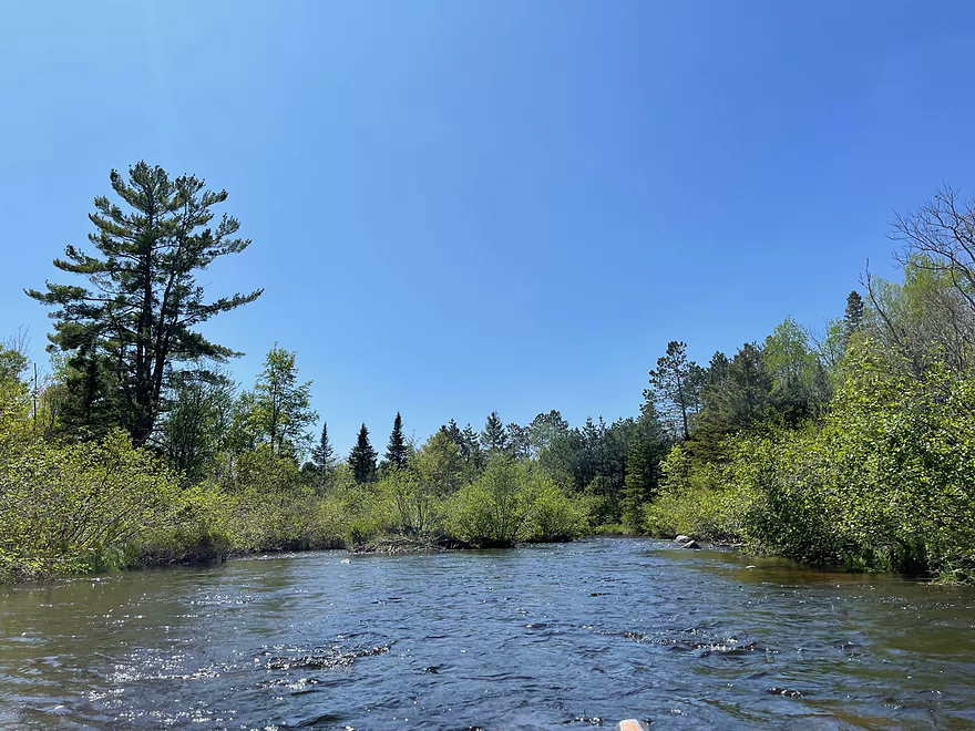
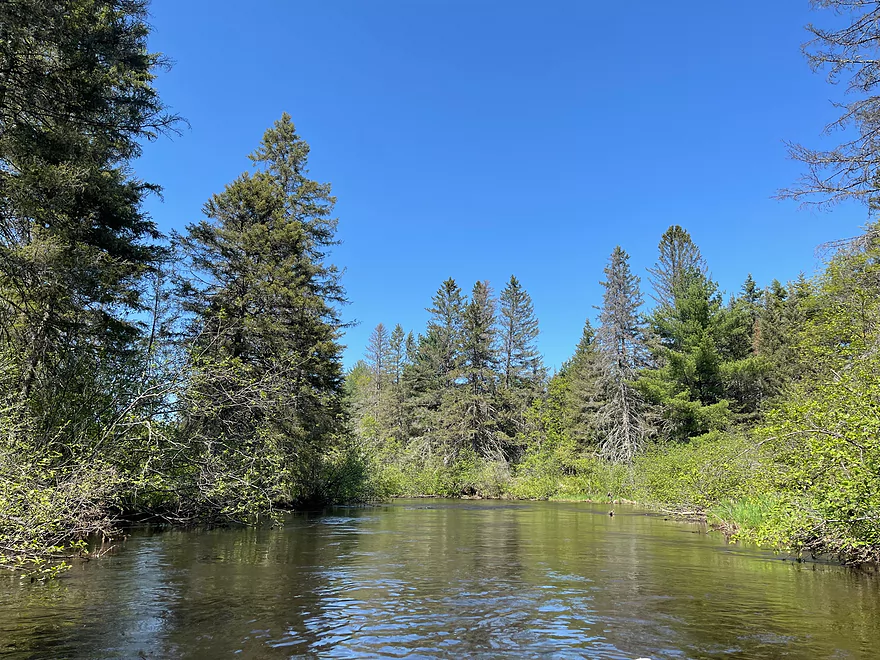
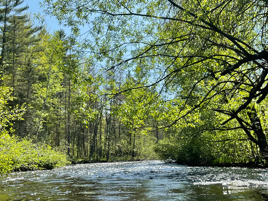
Another peaceful stretch
Followed by more rapids
Hwy M bridge
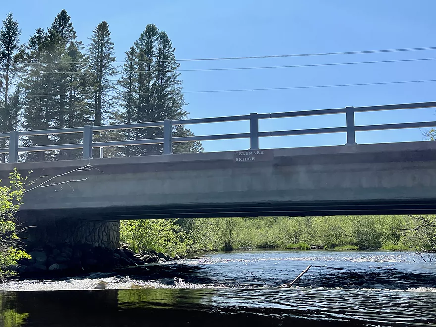
Telemark Rd Bridge
Randysek Rd bridge. The Phillipi Landing is just beyond the bridge
Old Rail bridge now part of an ATV trail
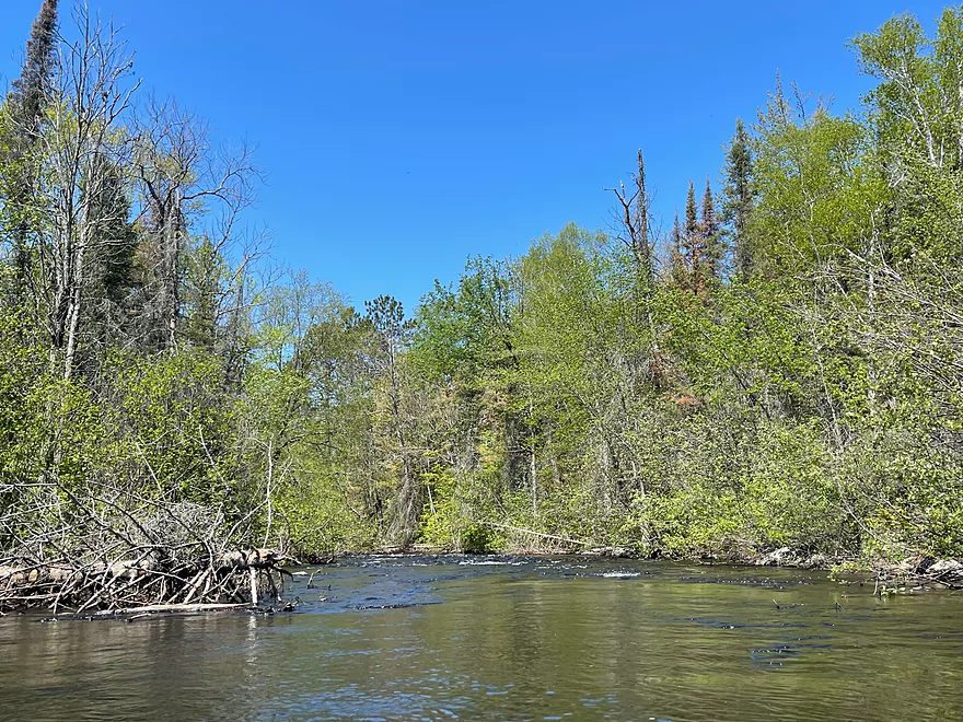
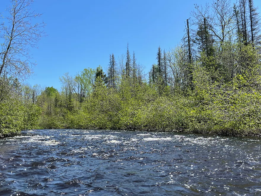
Final set of rapids
Hwy 63 bridge, Mile 86. Take out is to the left just beyond the bridge
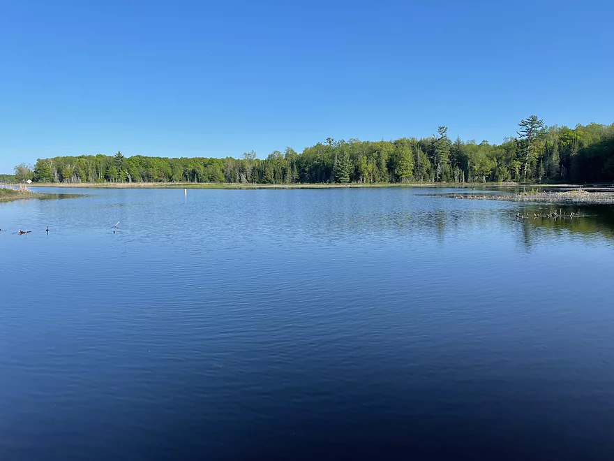
Lake Namekagon
Namekagon River – Namekagon Dam to Hwy 63 Wayside

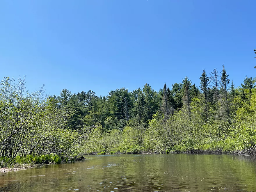
The Namekagon River is one of the most scenic rivers in Wisconsin and is managed by the National Park Service as part of St. Croix River National Scenic Riverway. The first downriver section is what many people picture when traveling to the Northwoods. Clean water, lack of people, picturesque forests, and only the sound of nature.
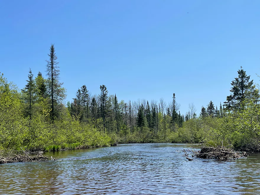
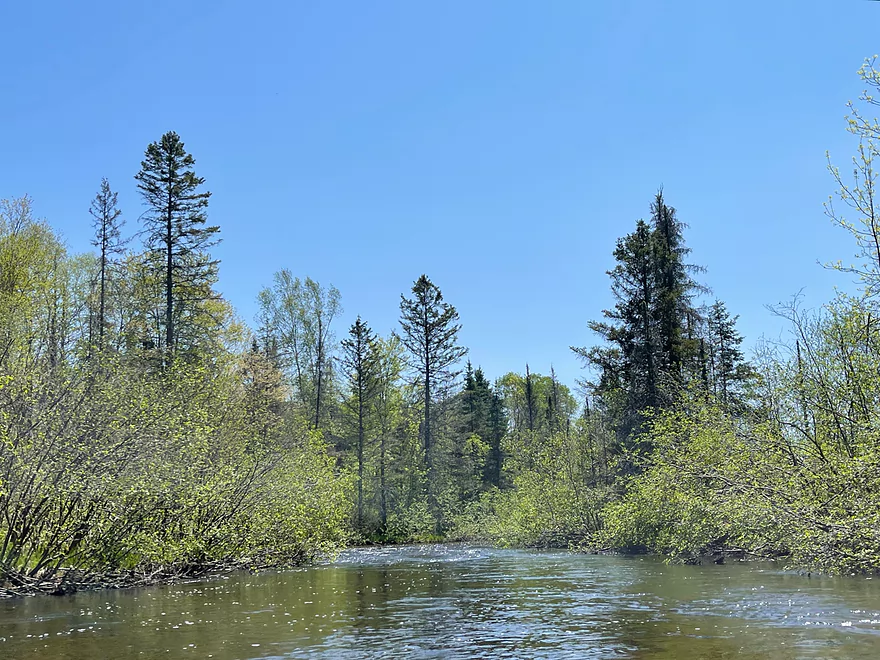
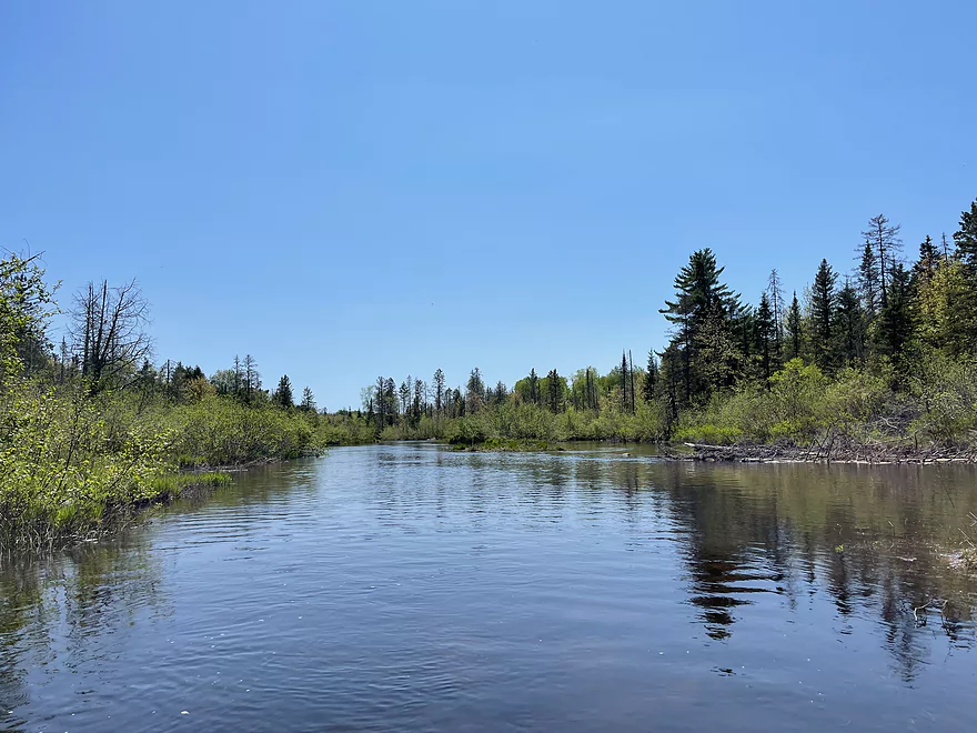
This stretch of the Namekagon starts out slow and peaceful, but there are many sets of Class I & II rapids, 11 in total. There are more rapids on this segment of the Namekagon than any other. They are simple enough to navigate for recreational paddlers but may be tricky in low water as boats may get stuck in the rocks if the water is too low.
If you’re looking for a peaceful paddle through Wisconsin’s Northwoods, this segment is for you. It’s the perfect place to be if you want to paddle with nothing but nature around you.
Thanks Peter for the review! WisconsinRiverTrips.com is always very appreciative of guest reviews, and if you the reader is ever interested in submitting one, you can use this online form.
Detailed Overview
- Upstream from the Namekagon River Dam: There is an immediate flowage and then upstream the river splinters and could still be navigable, but I don't know.
- Namekagon River Dam to Cable Wayside: 14.7 miles.
- Namekagon River Dam to Hwy M: 7.2 miles. A terrific leg with some Class 2 rapids.
- Hwy M to Cable Wayside/Hwy 63: 6.9 miles. Good prospect with much less rapids. Many intermediary access options (each bridge really).
- Hwy 63 to Mossback Road Landing: 3.9 miles. Very good prospect and a local favorite.
- Mossback Road Landing to Larson Road Landing: 4.9 miles. Very good prospect and a local favorite.
- Larson Road Landing to Phipps Landing/Hwy 63: 3.3 miles.
- Phipps Landing to W. Phipps Bridge/Trout Run Landing: 2.8 miles.
- W. Phipps Bridge to Eagle's Landing: 2.4 miles. Eagle's Landing should be a bit NE of W. Hospital Road.
- Eagle's Landing to Hayward Dam: 3.2 miles. Mostly flowage paddling.
- Hayward Dam/1st Street to Stinnett River Road Landing: 9.1 miles. A good and popular stretch.
- Stinnett Landing to Groat Landing/Brickman Lake Road: 3.0 miles. Several Class 1 rapids.
- Groat Landing to Springbrook Landing: 4.9 miles.
- Groat Landing to Trails End Road Landing: 2.4 miles. Section with Class 2 rapids.
- Trails End Road to Legion Lane Landing: 2.7 miles. A few Class 1 rapids.
- Legion Lane Landing to Big Bend Landing/Pow Road: 5.2 miles. A few Class 1 rapids.
- Pow Road to Earl Park Landing/Road N: 3.8 miles. Mostly flatwater.
- Earl Park Landing to Trego/Cash Road: 5.0 miles. Mostly flatwater...there are other take-out options in Trego. Take-out is just NE of Wagon Bridge Road.
- Trego to Road K Landing: 5.6 miles. Mostly flowage paddling.
- Road K to McDowell Bridge Landing: 22 miles.
- Road K to Whispering Pines Road Landing: 10.3 miles.
- Whispering Pines to Howell Landing: 4.4 miles. You can take out on either side of the river.
- Howell Landing to Fritz Landing/River Landing Road: 3.5 miles.
- Fritz Landing to McDowell Bridge Landing/Web Creek Dr.: 2.7 miles.
- McDowell to Namekagon Trail Landing: 7.0 miles.
- Namekagon Trail Landing to Mouth: 5.0 miles.
- Mouth to Riverside Landing/Hwy 35: 3.7 miles. A short stretch on the St. Croix to reach a take-out.
Trip Map
Overview Map
Photos Size:
For those curious, I did find a Youtube video of this stretch that paddlers may find helpful: https://www.youtube.com/watch?v=nNfNwVIg23Q