
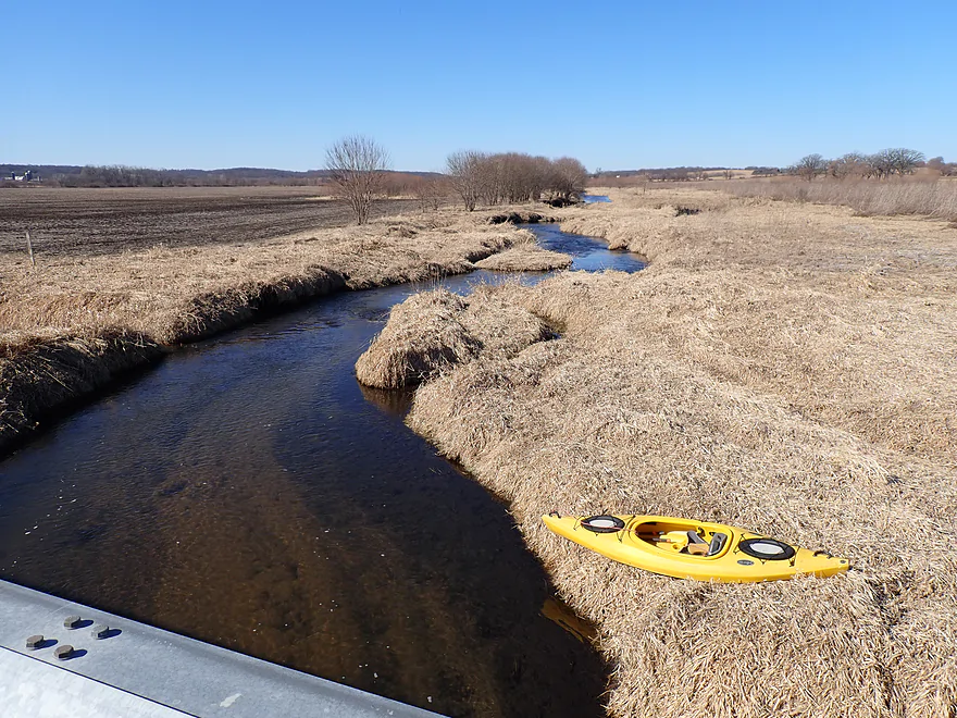
Starting the trip at Hwy 59/213
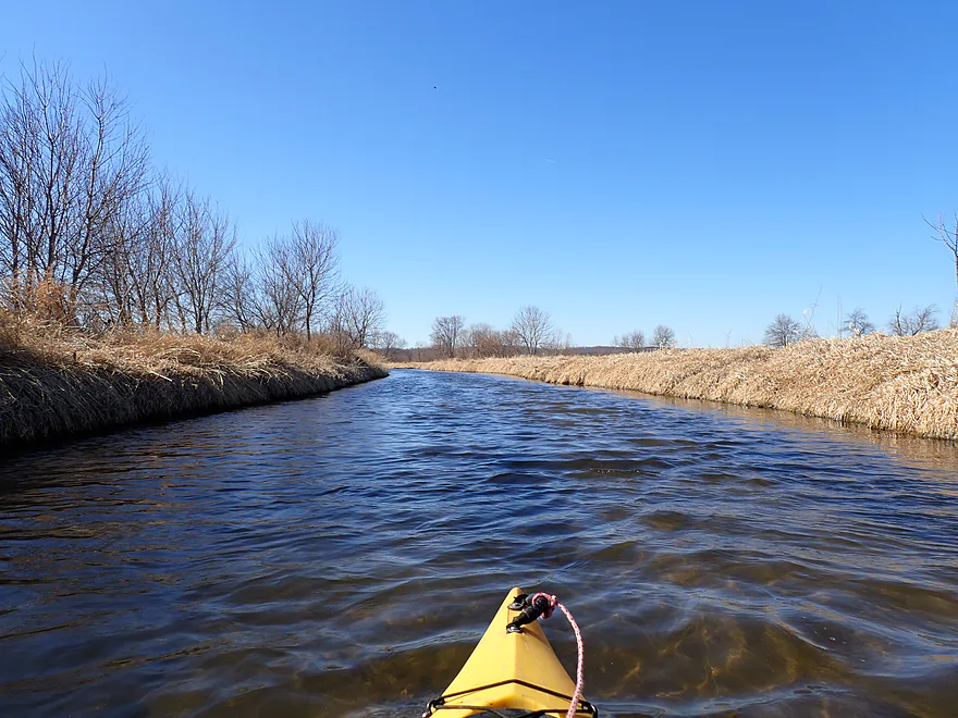
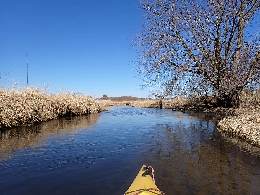
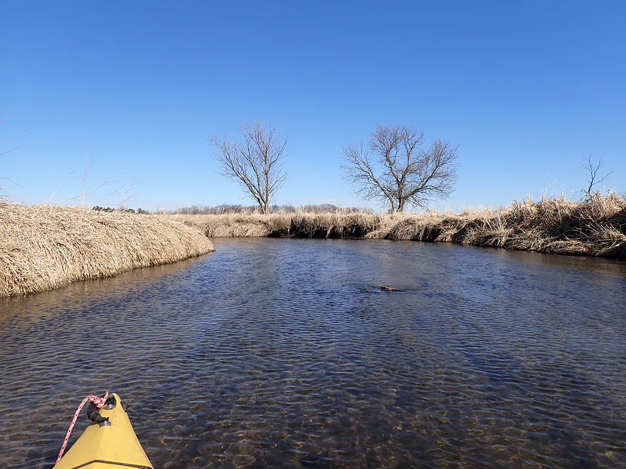
In the summer this would all be tall grass
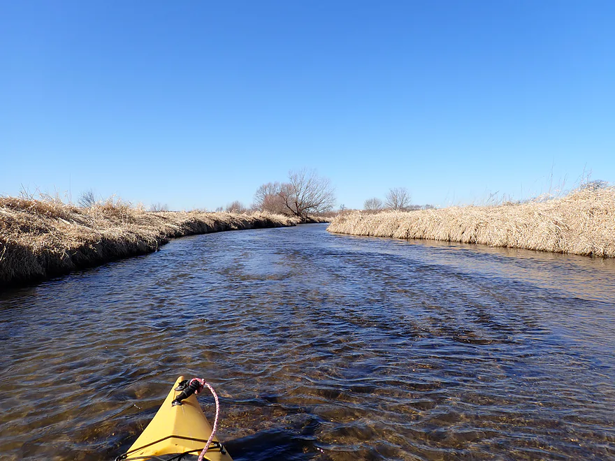
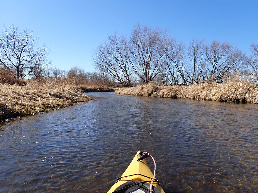
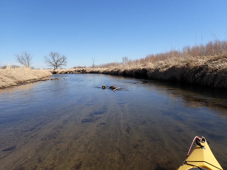
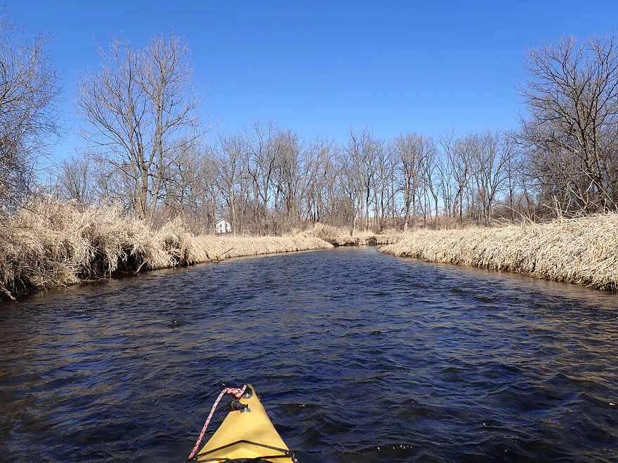
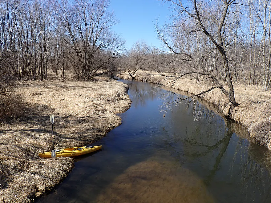
Great clarity
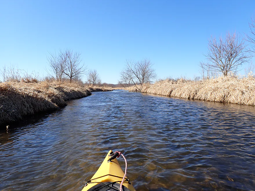
Creek is flat and straight to start–signs of channelization
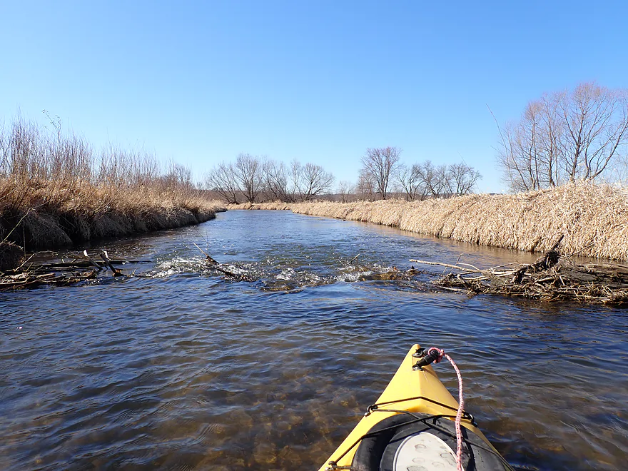
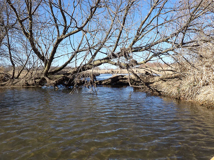
An old beaver dam
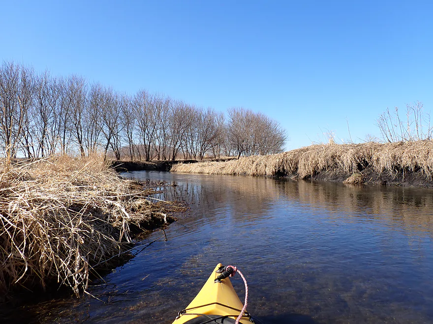
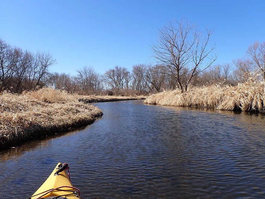
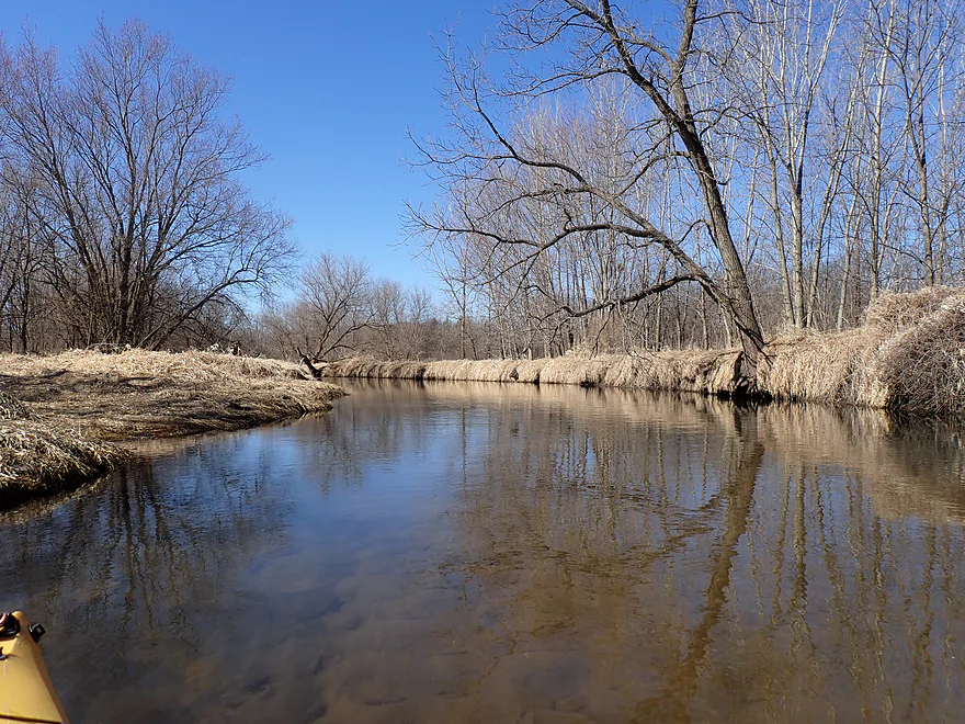
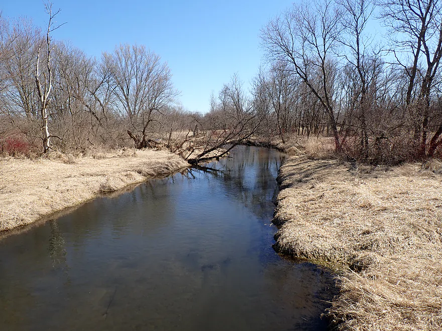
Second half of the trip featured more trees
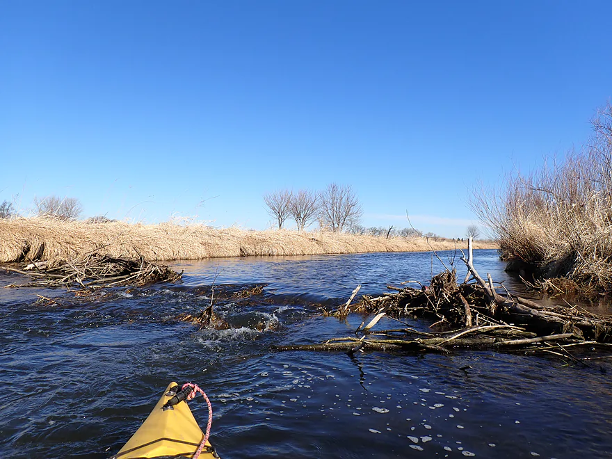
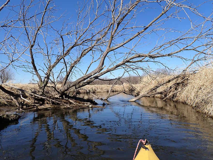
Only logjam of the trip
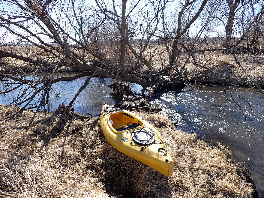
Easy portage
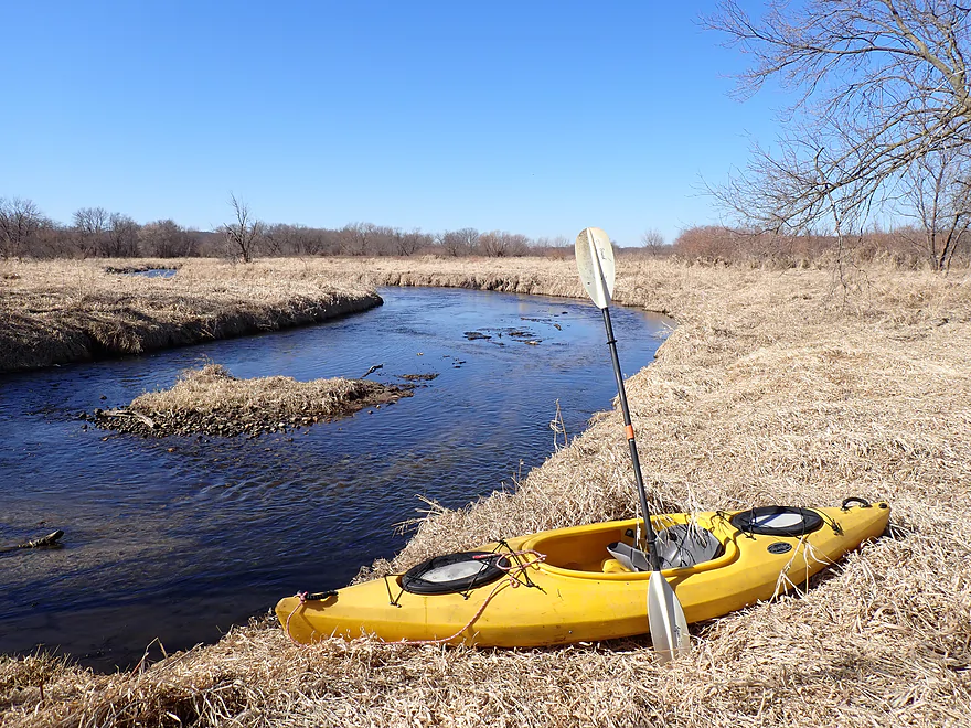
Nice vista
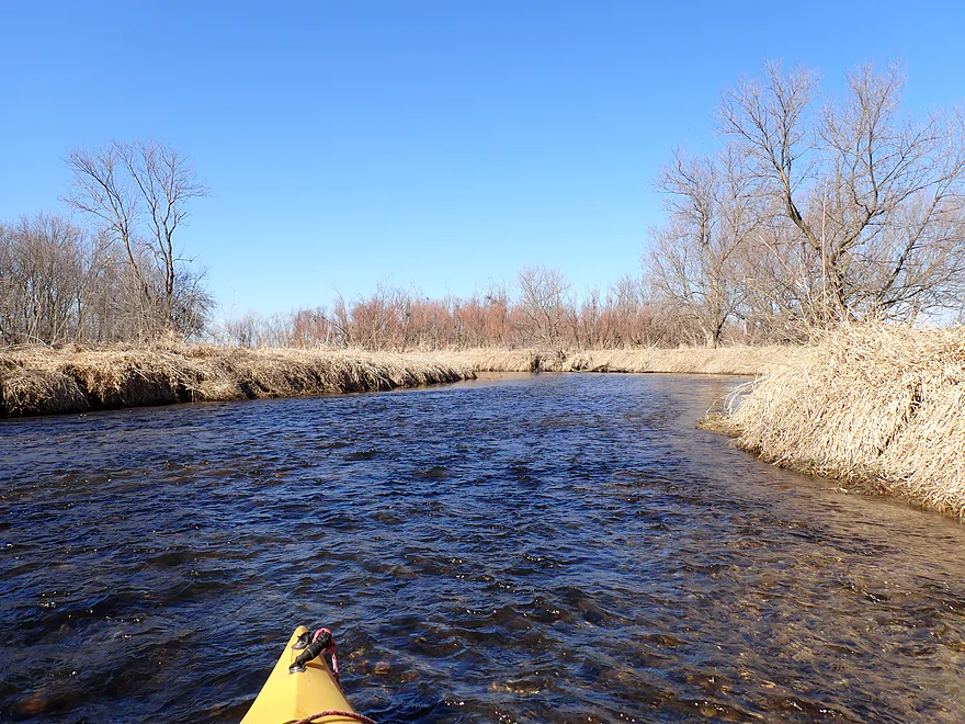
No rapids on the trip, but a few riffles
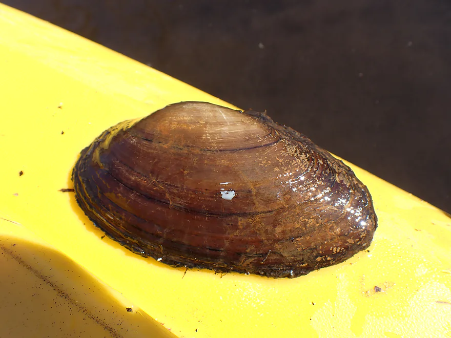
Surprised to see a number of clam shells
Another snag, but this was easy to get through
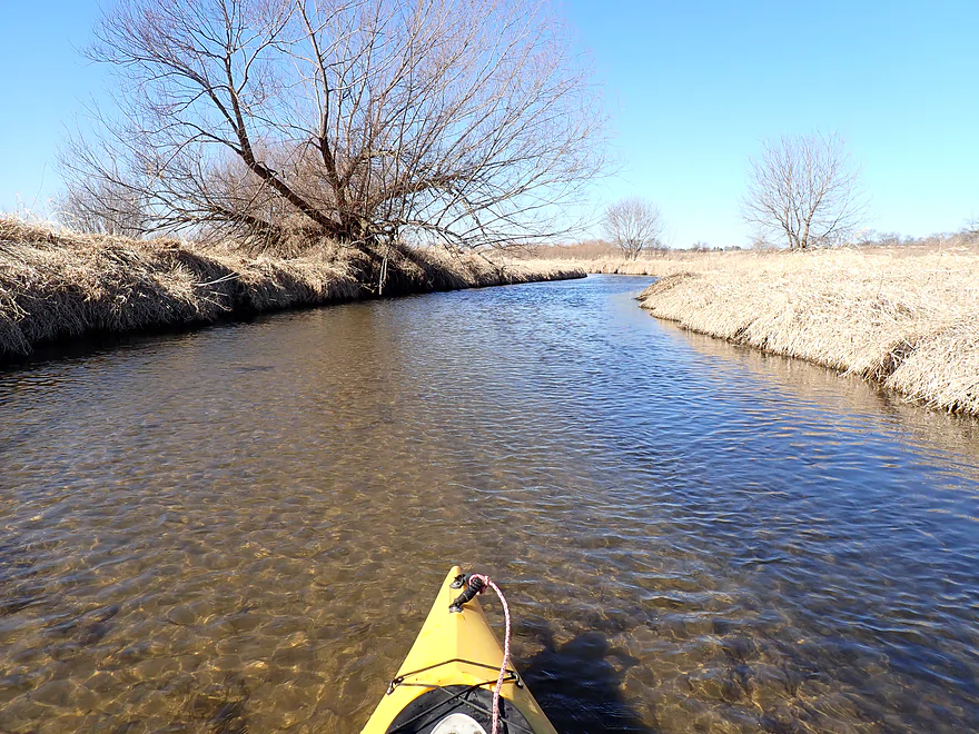
Another nice grassy vista
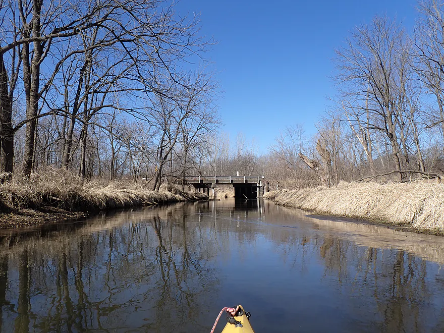
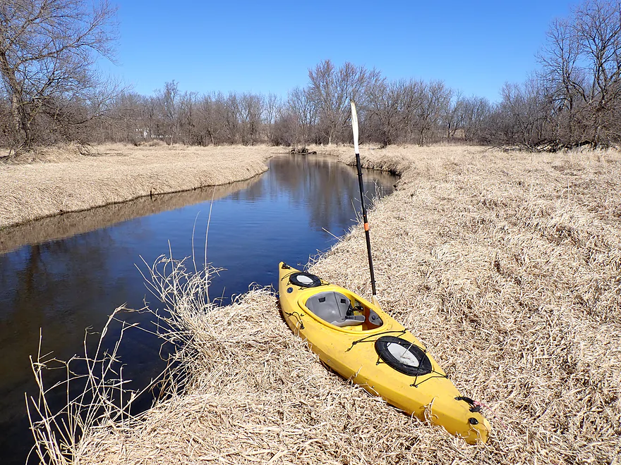
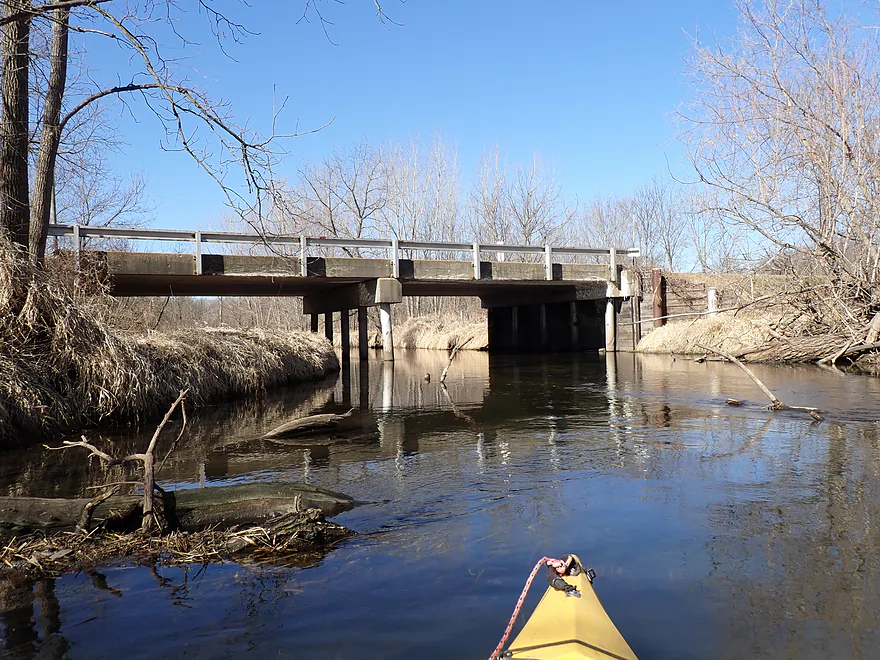
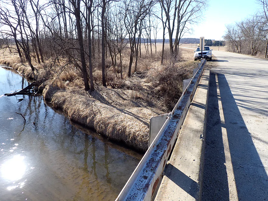
Old Hwy 92
Ok bridge access
Bank can be weedy and thick in the summer…but in spring it’s easy
Scouting the next bridge (Hwy 104)
Allen Creek – Hwy 59


Allen Creek is an obscure tributary of the Sugar River. After a frustrating, logjam-plagued trip on the creek through Evansville back in 2019, I returned this spring to pick up where I had left off at Hwy 59. This was a “redemption paddle” and ultimately it did.
The first mile of the trip cut through the Evansville Wildlife Area, which featured an expansive wet-grass marsh. The creek here flowed suspiciously straight–a sure sign that early farmers had ditched it to expand their fields.
Despite the channelization, the water quality was a pleasant surprise. The current was decent, with a few light riffles, and flowed over a substrate of glacial outwash: a clean mix of golden sand, pea-gravel, and “glacial pebbles” (technically called till) washed out from the nearby moraines.
Allen Creek is somewhat unique in that it is the “zero line” for the last Ice Age. To the east sat the Johnstown Moraine and its remnant soft rolling hills, where the Green Bay Lobe ran out of steam and left behind a lot of debris. And to the west the landscape began its dramatic shift into the rugged and unglaciated Driftless Area.
About a mile in, the creek’s personality changed. The man-made “ditch” ended, and Allen Creek started to meander naturally with more trees. With woods, however, comes logjams, but fortunately I needed to make only one portage and it was easy.
Before long I came to Old Hwy 92, which was a quick end to my trip (I didn’t want to attempt a longer trip due to my fear of possible logjams). In summary, this was a pleasant trip that I enjoyed and was way better than my 2019 trip. It was also a trip well suited for spring, as it’s pretty small and safe, and the died-back grasses offer better scenery (in the summer it can be an overgrown jungle).
Sights included cranes, geese, one muskrat, a number of clam shells, songbirds, and several schools of small fish. There were two beaver dams on the trip…one on a side creek and another on the main channel (but quite dilapidated and easy to get over).
Hwy 59/213: This was a decent bridge access. There is an “Evansville Wildlife Area Parking Lot” to the north where you can leave your car. In the summer, this spot can get a bit weedy though.
Alternate Put-ins: None really. Upstream from Hwy 59 logjams are too problematic.
Old Hwy 92: This is a decent bridge access, although it can get a bit weedy in late summer.
Alternate Take-outs:
- Hwy 104 (5.0 miles downstream from Old Hwy 92): Hwy 104 is a busy fast road…but I think you could easily take out here. This bonus leg might have 3-4 more logjams though.
Bike Shuttle – Hwy 59/213 to Old Hwy 92: 2.7 miles with 39′ of ascent. This was a very easy bike shuttle.
Logjams: There is one logjam, but I thought it was an easy portage.
Dams: None…but there is an old beaver dam that was easy to scoot over.
Current: Current was average. The first half features a few micro-riffles. In the second half of the trip the creek grows significantly and slows down.
Closest Gauge: Sugar River @ Verona
Trip Depth: 60 CFS or 3.14′
Navigability Estimates: These are just rough estimates. The Verona gauge is not a great analog.
- 0-30 CFS: Maybe too shallow.
- 31-50 CFS: A few shallow spots…I think most of the creek would still be navigable.
- 51-70 CFS: Average spring depth with good clarity.
- 71-100 CFS: High depth…likely still viable for paddling.
- 101+ CFS: Creek might be too high and filthy to be an enjoyable paddle. I’m not sure though.
For more information on access points, see my overview map.
- N. Evansville Brooklyn Road1st to N. Evansville Brooklyn Road2nd: 2.3 miles. Creek is a tiny stream that is surprisingly open. Maybe 2 logjams.
- N. Evansville Brooklyn Road2nd to Lake Leota Park: 1.9 miles. Still a tiny stream that starts open, then encounters woods by the railroad tracks where it might contain a few jams. The creek then widens out into Lake Leota, which would be a simple paddle.
- Lake Leota Park to Hwy 59/213: 4.0 miles. First half of the trip flows through a densely canopied forest with some logjam issues. Second half of the trip flows through the Evansville Wildlife Area which is open, grassy, and monotonous. A highlight of the trip are the canals in Lake Leota Park.
- Hwy 59 to Old Hwy 92: 2.5 miles. Nice open, grassy stretch. There is one logjam that is an easy portage.
- Old Hwy 92 to Hwy 104: 5.0 miles. A much more wooded part of the creek and a good prospect. Maybe 3-4 logjams though.
- Hwy 104 to English Settlement Road: 3.9 miles. Maybe 10 logjams.
- English Settlement Road to Cty E: 1.9 miles. Maybe 3 logjams. English Settlement Road is likely not a good access.
- Cty E to Mouth on Sugar River: 1.0 miles. Flood bottom forest…maybe 4 logjams.
- Sugar River Mouth to Albany Wildlife Area Boat Landing: 0.8 miles. There’s a short stretch on the Sugar River to reach a nice take-out at the Albany Wildlife Area.
Trip Map
Overview Map
Video
Photos Size: