
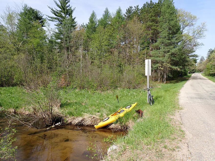
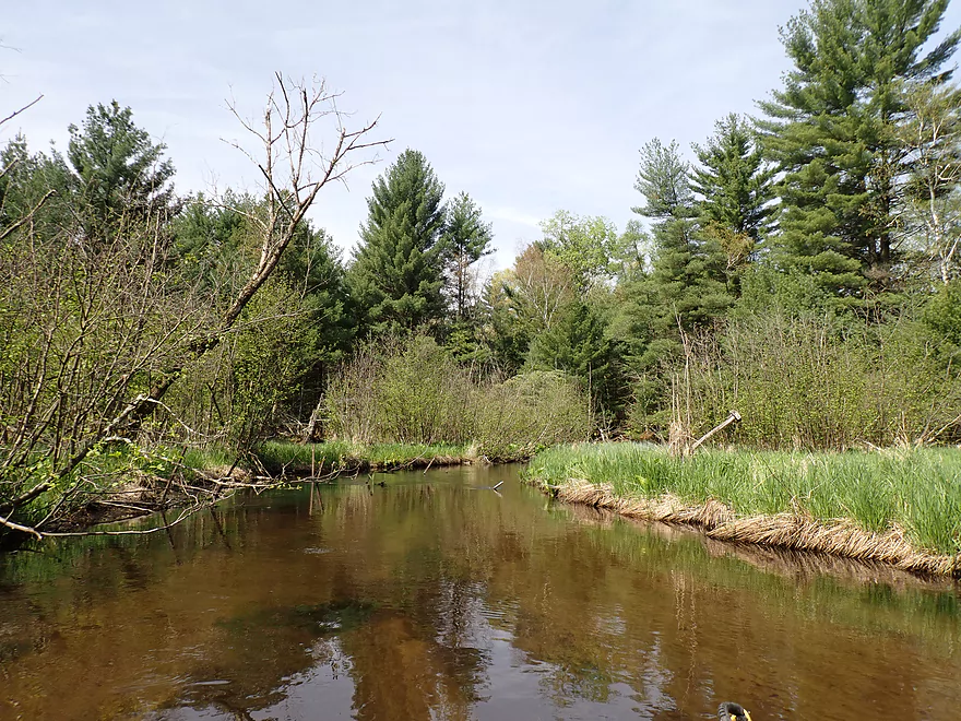
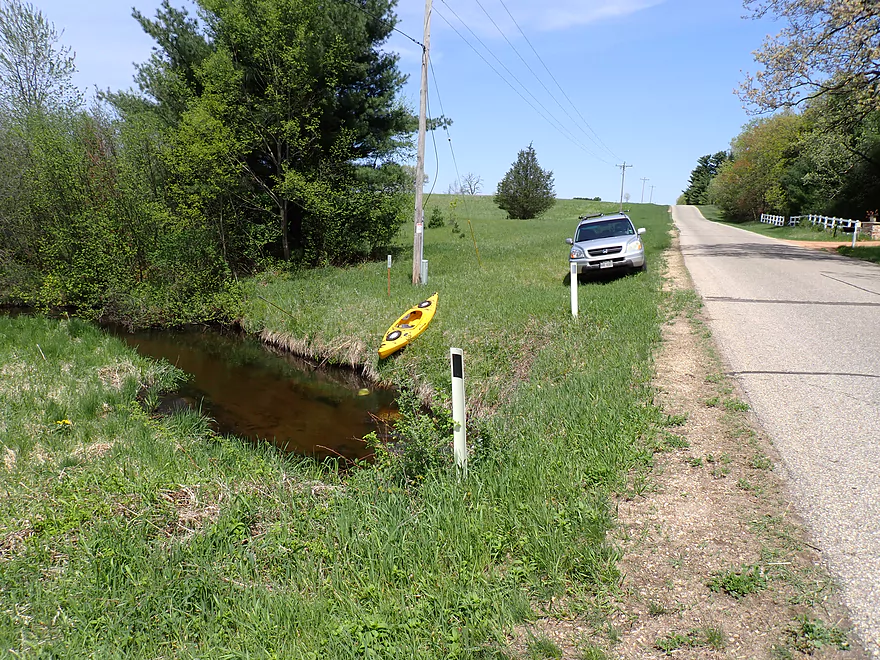
Putting in at Dakota Ave
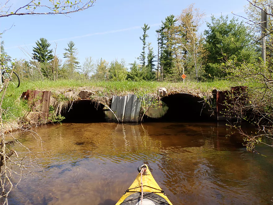
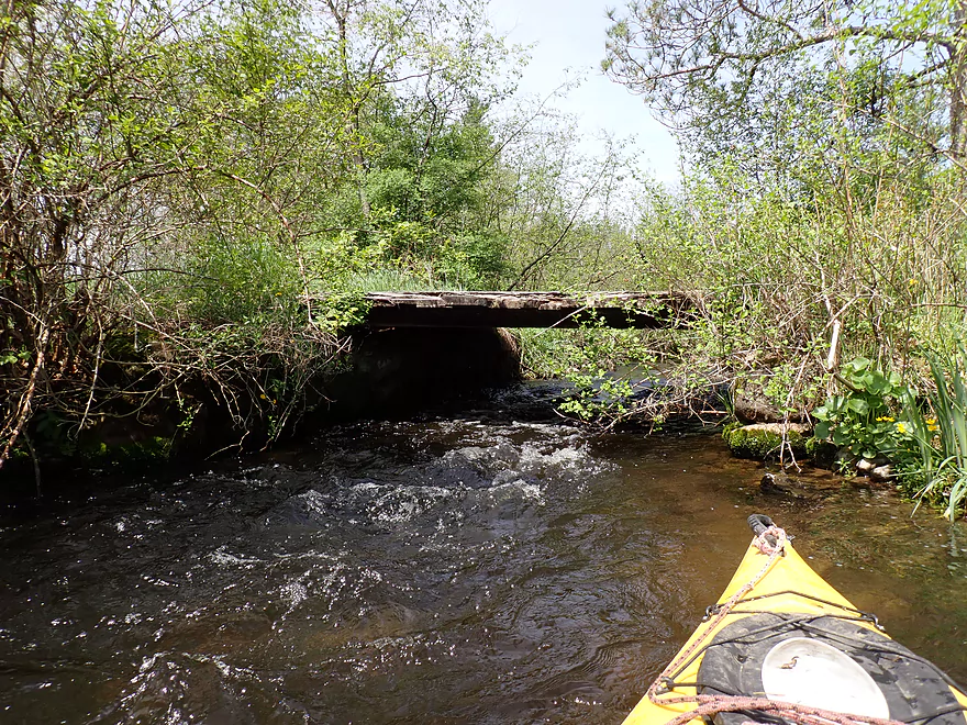
Paddling under the bridge…
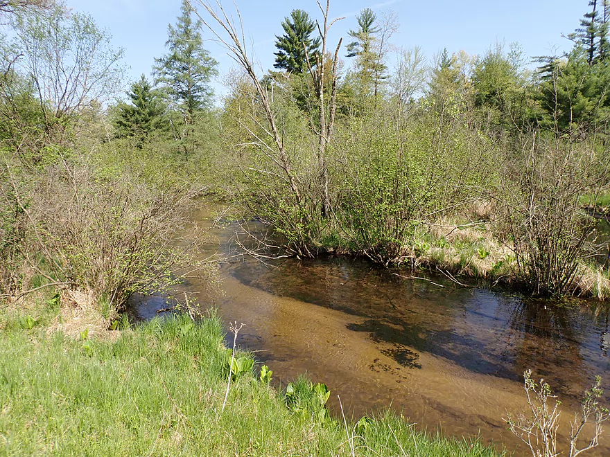
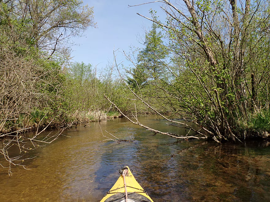
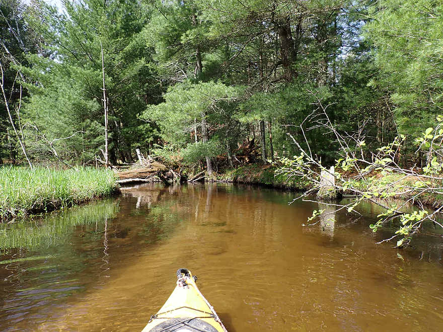
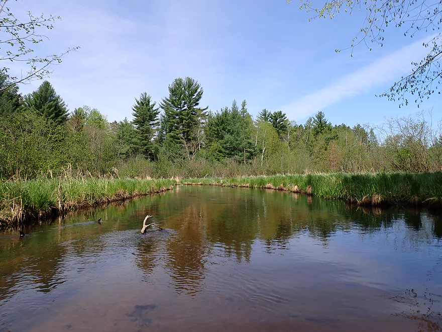
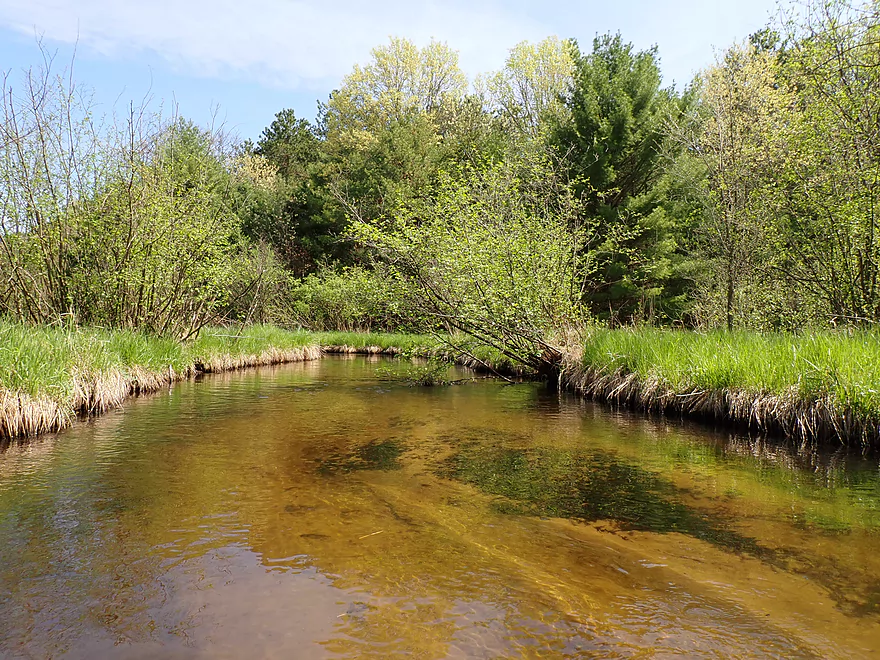
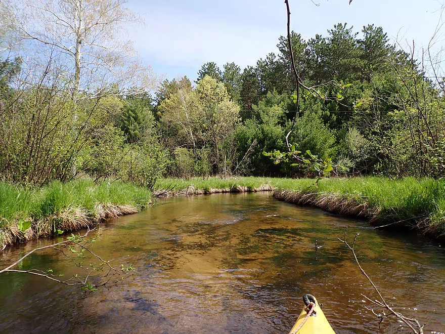
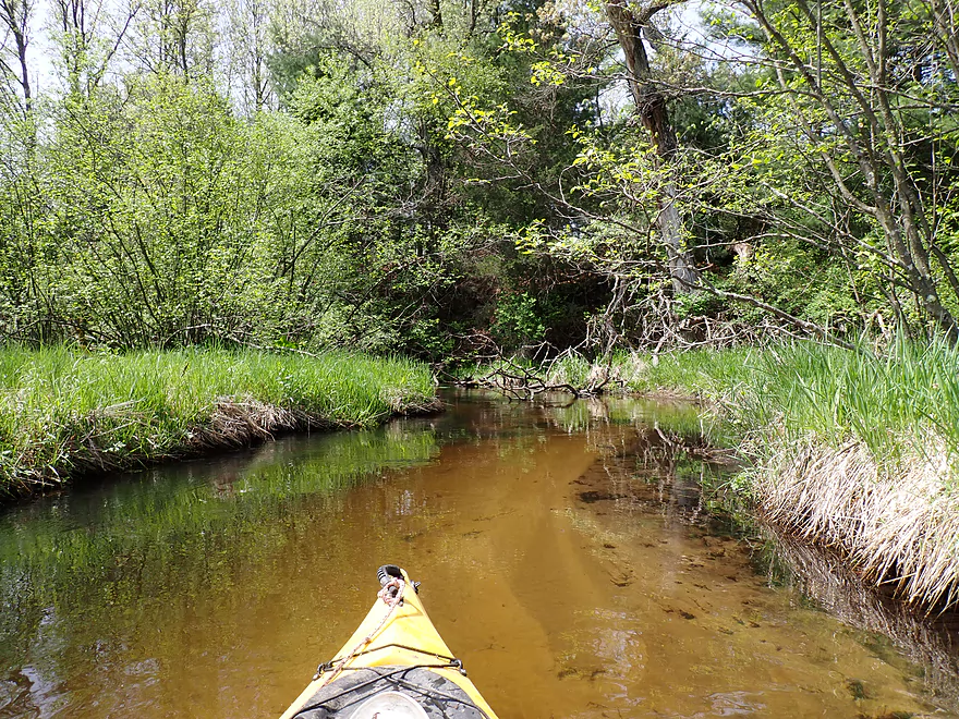
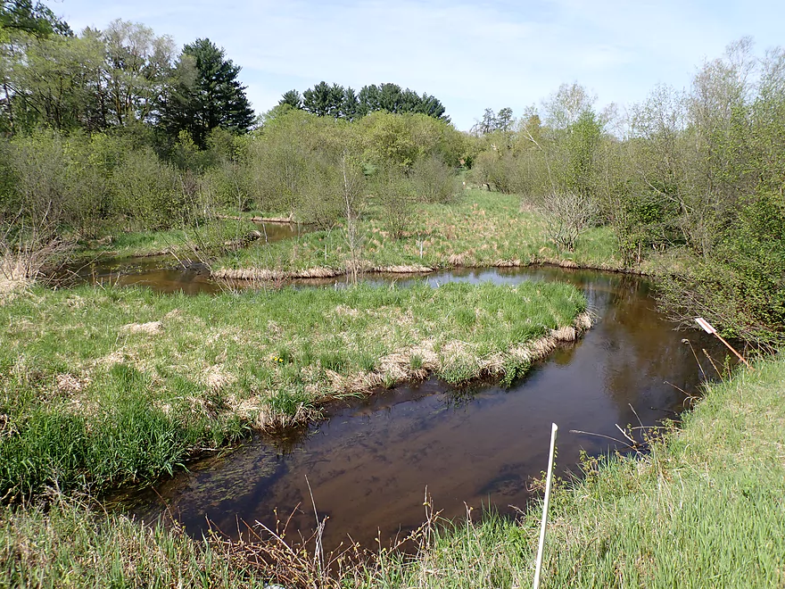
Where there is incredible clarity
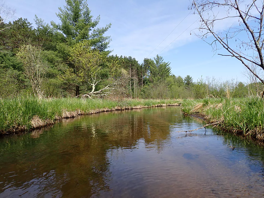
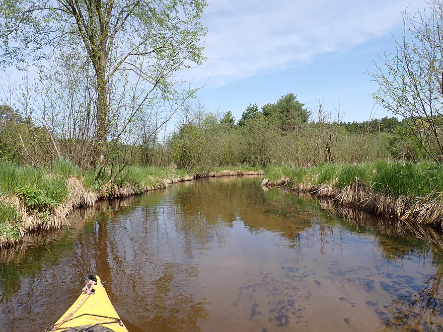
Scenic area

Panning to the right
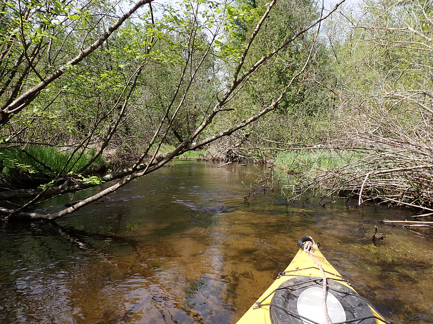
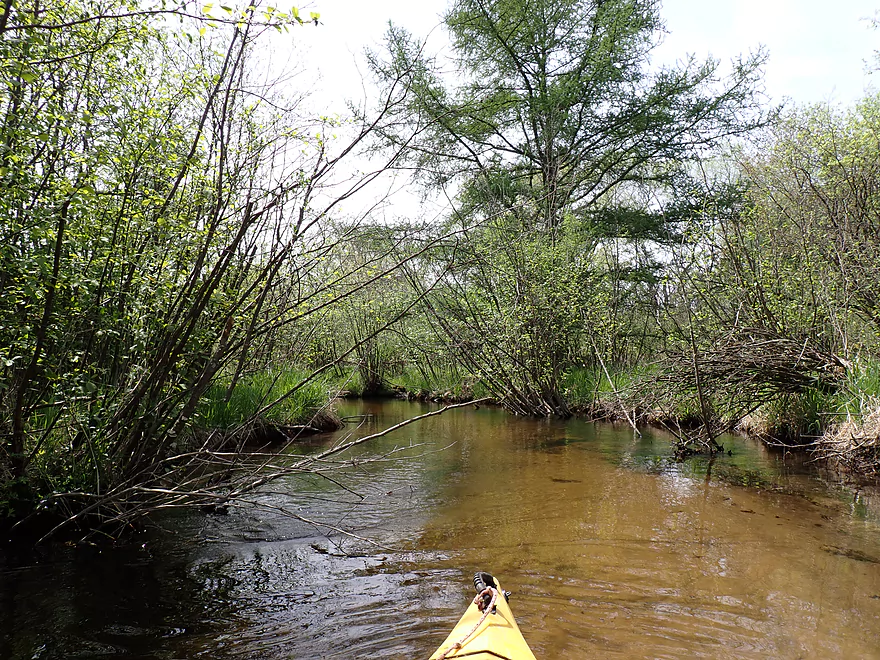
One of countless annoying alders
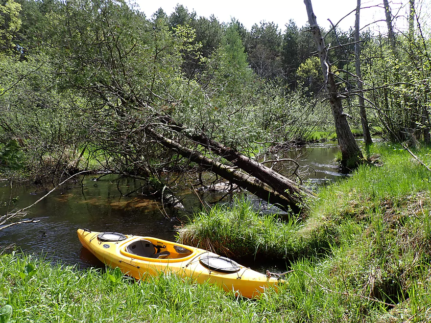
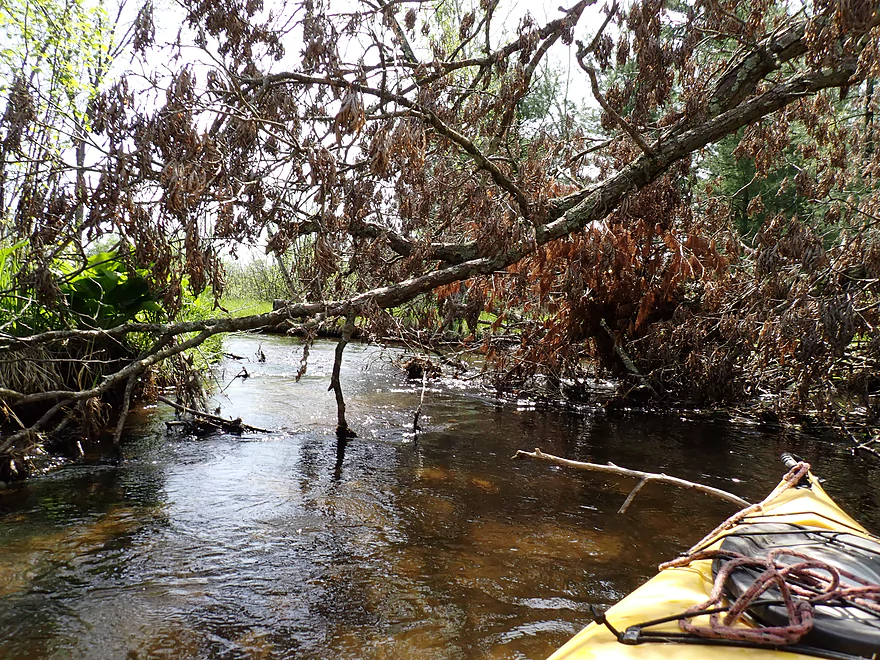
Logjam #1 (easy portage)
Logjam #2 (easy portage)
Lot of terrific white pines on this trip
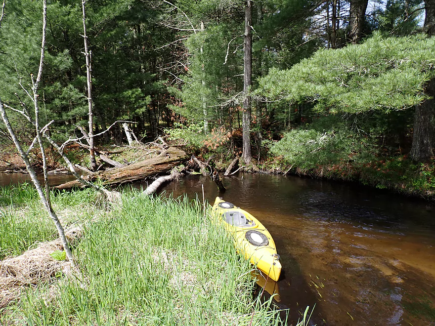
Logjam portage #3 (trickier as the ground was wet)
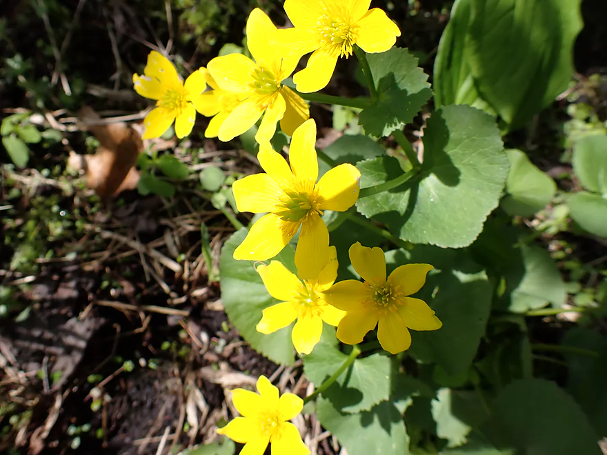
Signs of spring (these are marsh marigolds)
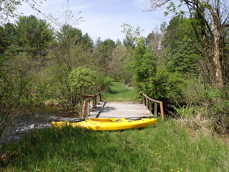
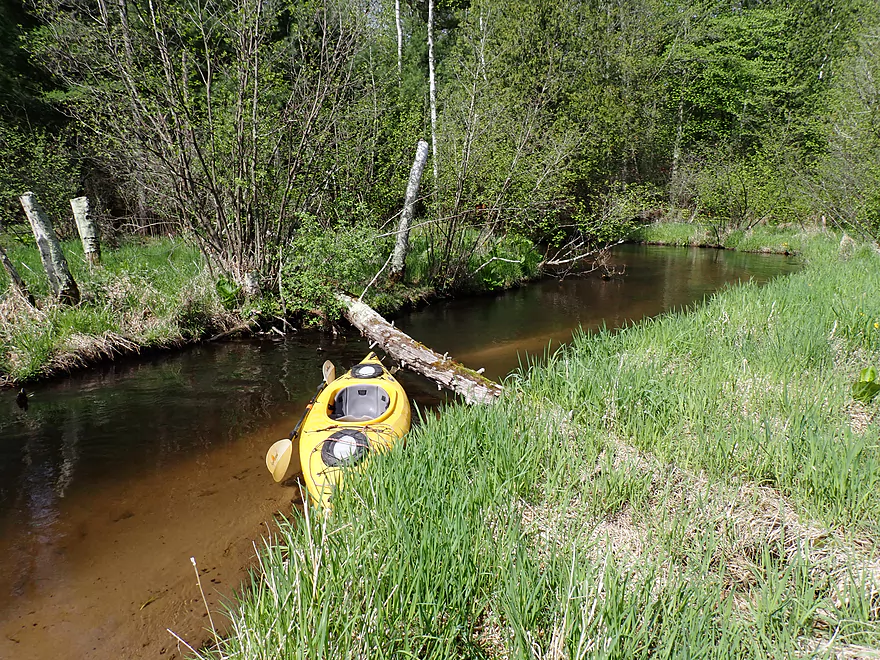
Portaging a low bridge
Wouldn’t want to paddle that
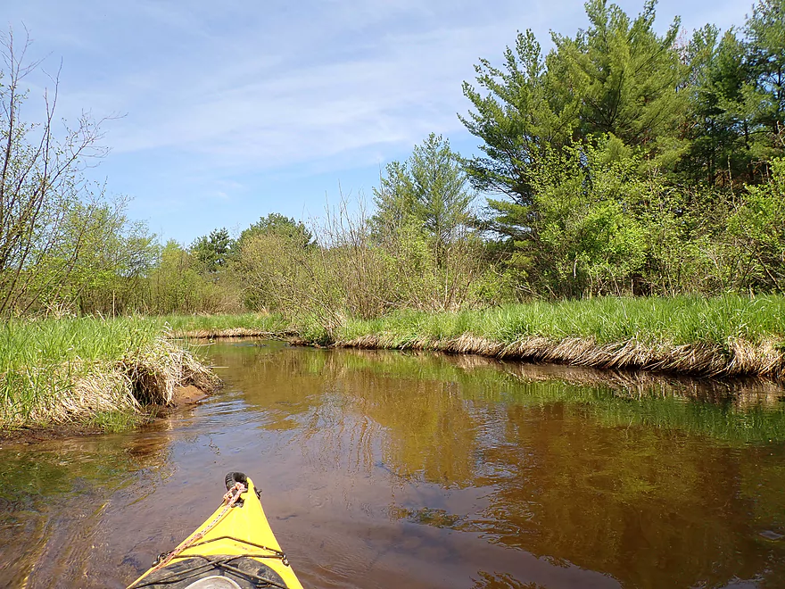
The sandy bottom was so cool
No more logjam portages, but there were some tricky low branches
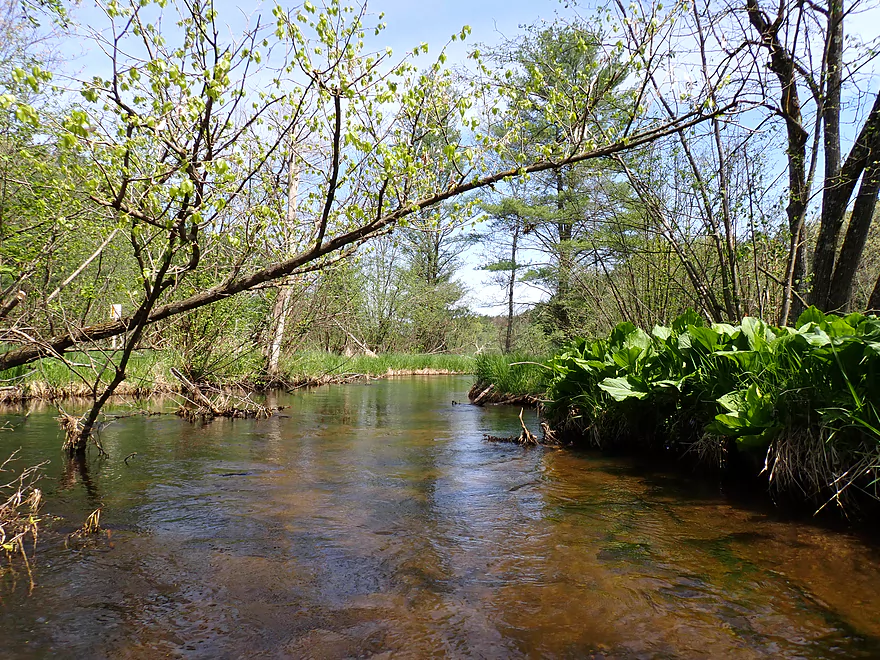
Great to see skunk cabbage on the trip
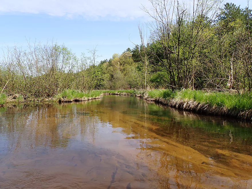
More terrific clarity
Leaving most of the pines behind as the creek opens up
Alder dodging later in summer would make this trip even more difficult
11th court is I believe a public road but in bad shape
The alders were worse than the logjam portages
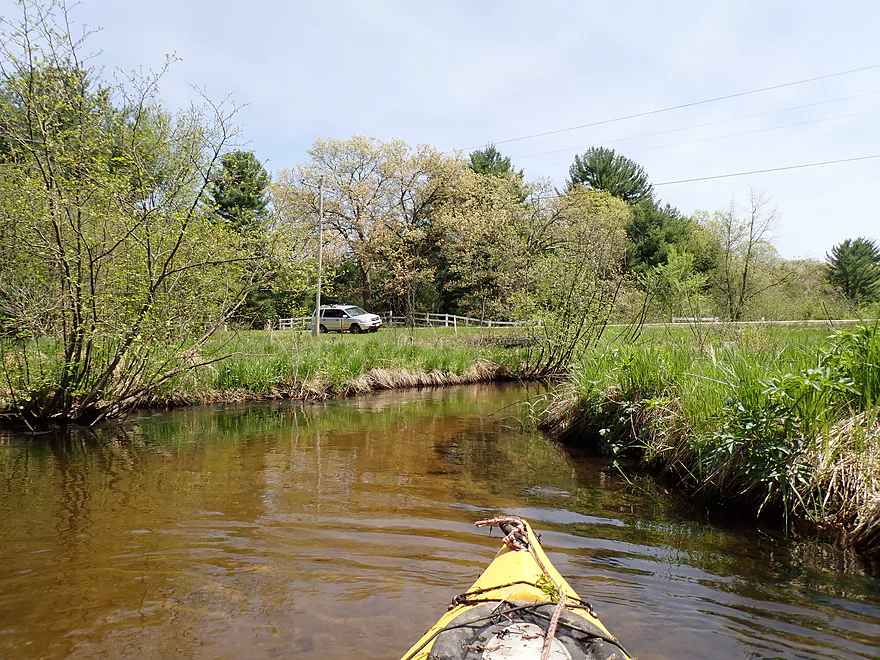
Relieved to see my car
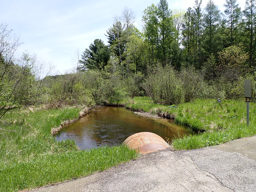
Taking out at 11th Drive (good acccess)
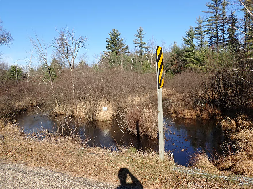
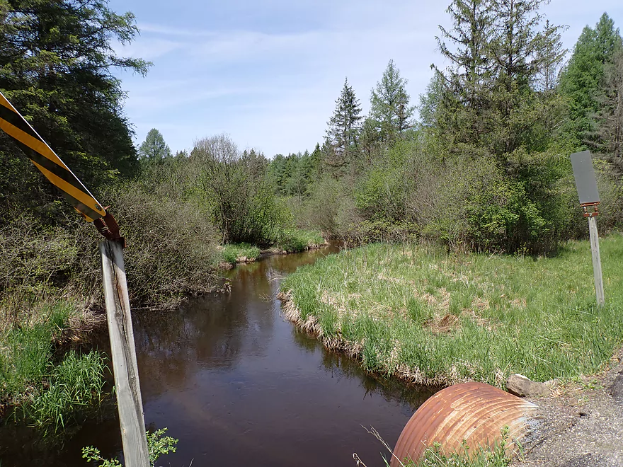
View from bridge
Scouting nearby Lunch Creek
Looks nice and is on my to-do list…but likely has alder issues too
Wedde Creek

The idea for this trip was pretty simple. The Upper Mecan is one of the nicer water trails in central Wisconsin, so shouldn’t its neighbors also be nice (specifically Chaffee Creek, Wedde Creek and Lunch Creek)? They all seemed intriguing with attractive bridge areas. Wedde specifically appeared the most promising of the three so I decided it would be my first Mecan tributary paddle.
The scenery by my chosen put-in at Dakota Ave was very good. The spring-fed water here was perfectly clear and the creek had a golden sand bottom. Upstream majestic white pines towered over the creek, which got me all enthused for the trip.
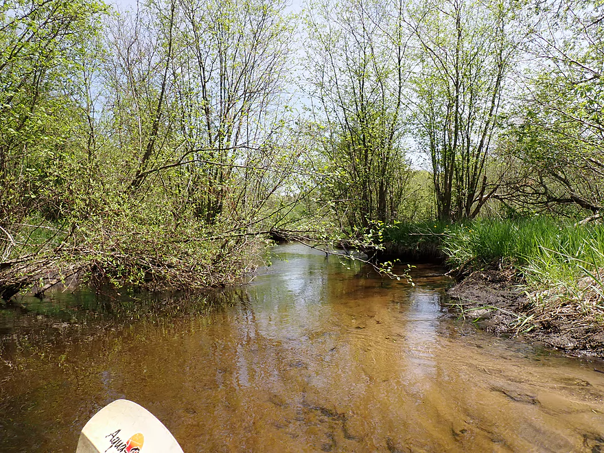
Unfortunately in the first quarter mile, there were three logjams that had to be portaged. On top of this alders, (my least favorite tree/shrub) tended to overhang and crowd the narrow creek which required frequent tight turns and difficult ducking.
It wasn’t all bad though. The clarity was stunning and at times, when the light hit at just the right angle, the sand would light up to reveal a gorgeous golden bottom. In the first half of the trip there were also fantastic white pines on both sides of the creek. Aside from one more portage (this time for a low snowmobile bridge), I thankfully never had to get out of my boat again.
After 11th Court, the creek lost most of its pines and tamaracks. Here it opened up and left the “swamp” to enter an area set aside for public fishing. The second half of the trip just wasn’t enjoyable despite not needing to portage. The problem is the creek is very twisty and you’re almost never paddling in a straight line. Along many of the corners were either low-hanging alders or big tree branches that required tedious dodging.
It was a relief when I finally saw the top of my car poke above the horizon line which marked my take-out at 11th Drive. This was even by my standards a short trip, but I had initially considered extending this +2 miles to Deerborn Ave which would have included a scenic covered bridge. But I was worried (rightly so) about the alders, so decided to hedge my bets and go with the first take-out.
This creek actually has potential and was surprisingly scenic in spots, but until the logjams get cleared out and the alders trimmed back (which I suspect will never happen), I can’t recommend it. If you’re new to paddling the area, I highly recommend the White River, Mecan River, or Westfield Creek instead. If you don’t mind a few logjams, and are looking for similar types of creeks with clear water, I recommend Lawrence Creek or the White River – West Branch both of which are way better prospects.
Sights included a lot of songbirds, what looked like an owl, and a few small but fast fish. Chaffee and Wedde Creeks and the Mecan River are three of only a few streams in the entire state that have naturally reproducing rainbow trout populations.
Wedde Creek segment of the Ice Age Trail: This is short but appears to be very nice. It also connects with the longer Chaffee Creek trail segment.
Dakota Ave: Aside from some very tight parking, this was a decent bridge access. Note, there are “No Trespassing” signs on the land next to the creek, so if you do this trip don’t wander and keep within the public right-of-way that surrounds roads and their shoulders.
Alternate Put-ins: None really. Upstream from Dakota, the creek splits and becomes too small and congested to paddle.
11th Drive: This is a pretty good bridge access with plenty of shoulder parking. Signs indicate that this is part of a public fishing area.
Alternate Take-outs:
- Deerborn Ave (1.9 miles downstream from 11th Drive): This is a doable bridge access. The bonus leg to Deerborne is likely pleasant and includes a covered bridge, but I worry it would have a few more logjams and a number of unpleasant alder branches.
Bike Shuttle – 11th Drive to Dakota Ave: 1.3 miles with 36′ of ascent. This is a super short and easy bike shuttle. There are many Amish in the area (one was riding a gas-powered lawn mower!), so be mindful that your bike trip may involve some horse manure.
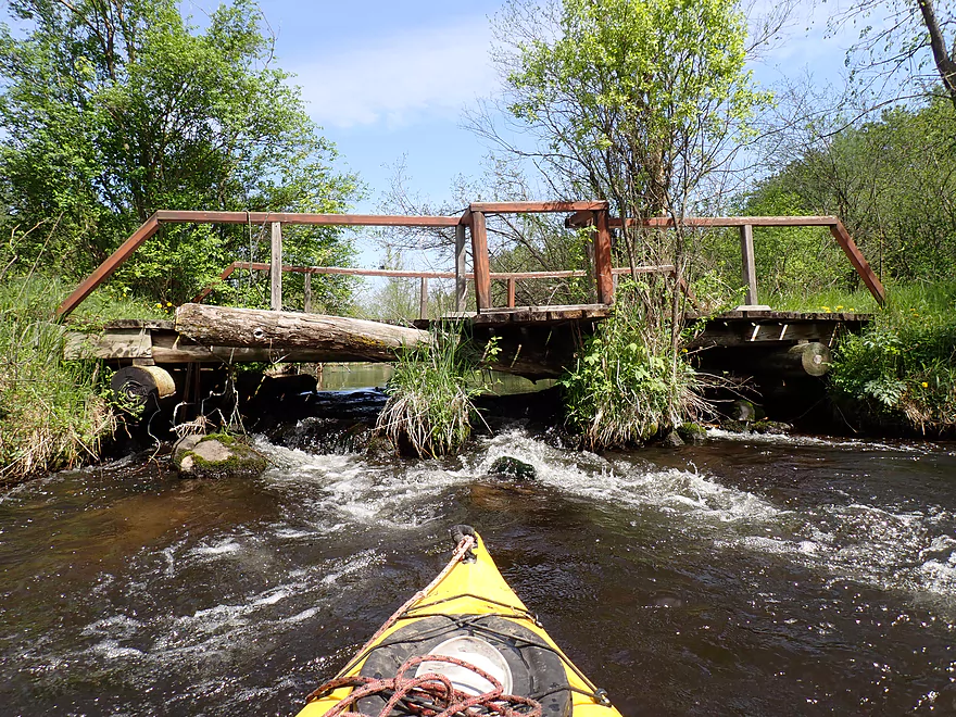
Rapids/Current: This is a relatively tame creek, but there are tricky ledges under two low bridges. I portaged one and ran the other.
Logjams: There are three logjams that required portaging, and these were easy. However that doesn’t tell the whole story. There were a number of downed trees that still required difficult maneuvering to get past and low hanging alder branches were more than a little annoying.
Closest Gauge: Chaffee Creek @ I-39
Trip Depth: 14 CFS or 3.7′
Navigability Estimates: The following are VERY rough estimates.
- < 3.5′: Maybe too low.
- 3.6′: Good depth…with excellent clarity.
- 3.7′: Good depth.
- 3.8′: A high depth. Likely still floatable.
- 3.9′: A very high depth.
- Upstream from Dakota Ave: The creek splits and is likely too small/congested to float.
- Dakota Ave to 11th Drive: 2.2 miles. A scenic stretch with nice pine trees and clear water. However there are too many portages (4) and alder dodging to recommend this leg.
- 11th Drive to Deerborn Ave: 1.9 miles. Likely a more open stretch than the preceding leg and has a nice covered bridge. However there are probably still some troublesome alders and logjams.
- Deerborn Ave to Hwy Y: 1.8 miles. Maybe 2-3 logjams and some alder gauntlets. Otherwise an ok prospect.
- Hwy Y to Mouth on Chaffee Creek: 0.7 miles. Maybe 3 logjams. Otherwise an interesting prospect with nice pine trees.
- Mouth to 14th Ave: 0.8 miles. Wedde Creek grows significantly after joining Chaffee Creek. Maybe two logjams.
- 14th Ave to Mouth on Mecan River: 1.8 miles. Maybe 3-4 logjams.
Note, local paddlers may also be interested in paddling other Mecan tributaries (eg Chaffee Creek & Lunch Creek). These are likely very similar to Wedde Creek…floatable with clear water and occasional nice scenery, but plagued with alders. The best stream in the area is really the Upper Mecan River.
Trip Map
Overview Map
Video
Photos Size: