
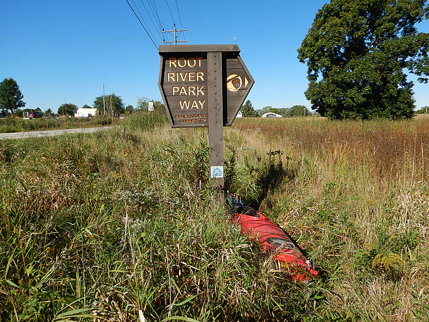
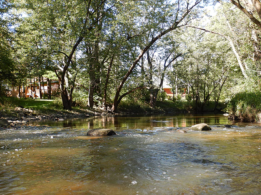
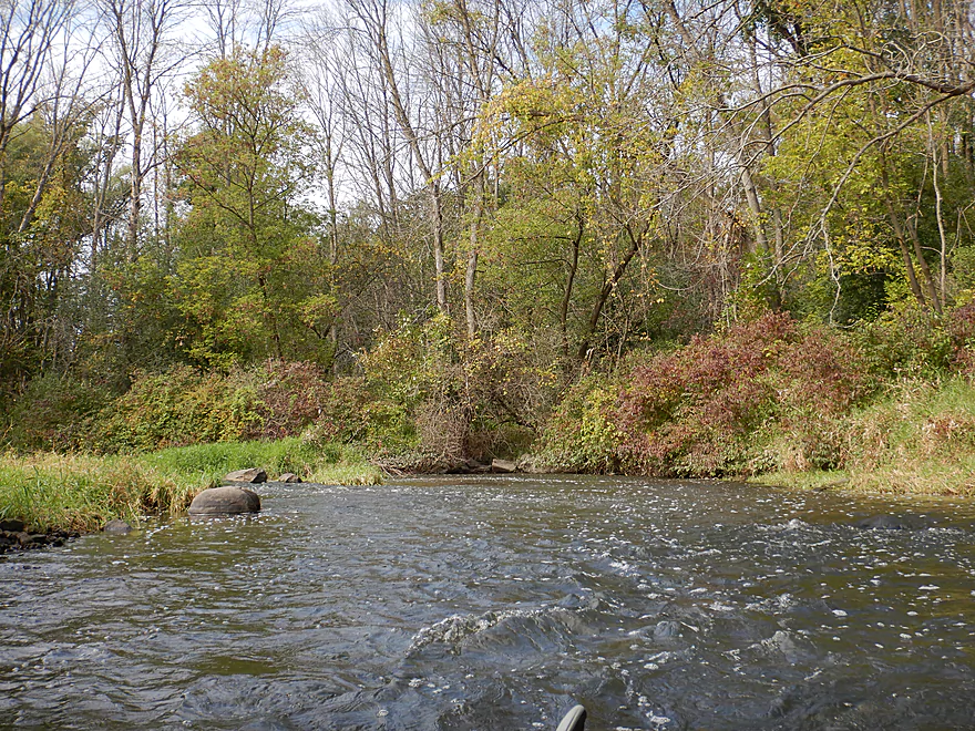
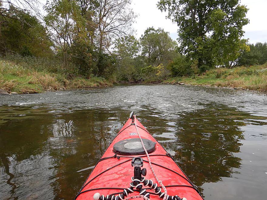
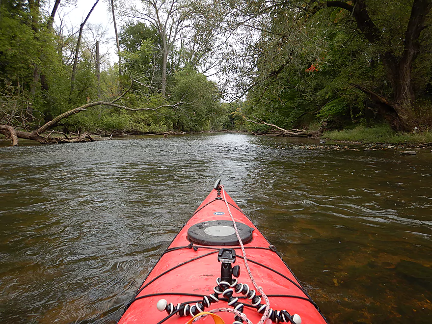
Starting the trip at the Root River Park Way
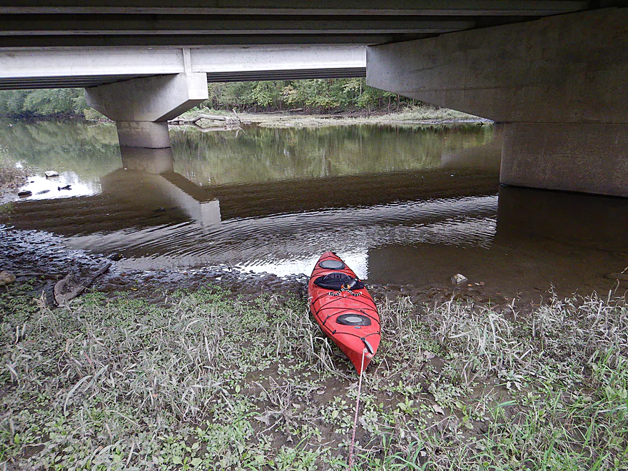
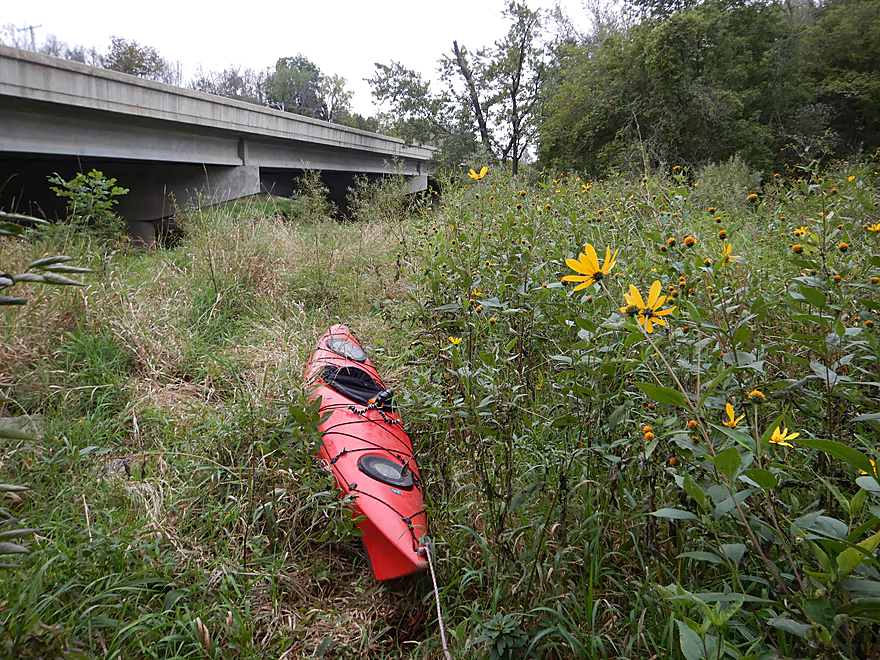
6 Mile Road was a weedy put-in
But easy to launch from
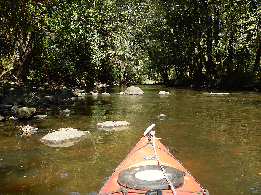
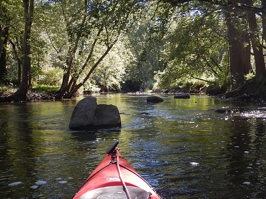
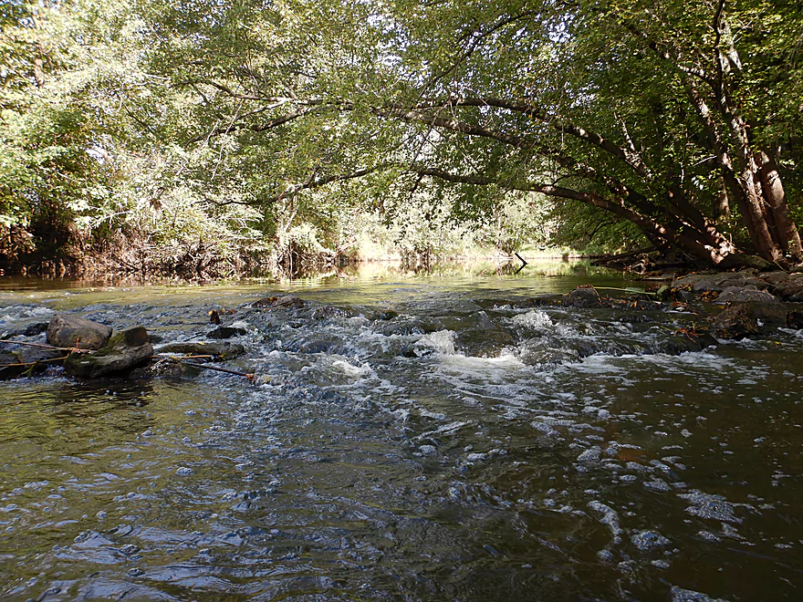
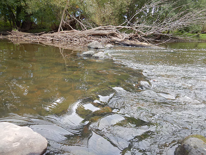
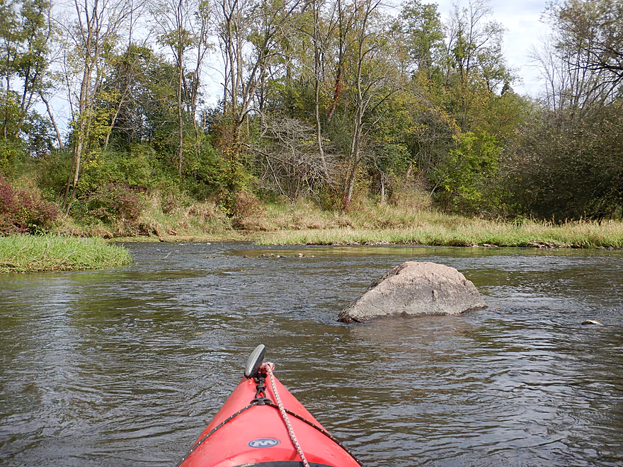
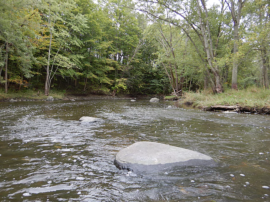
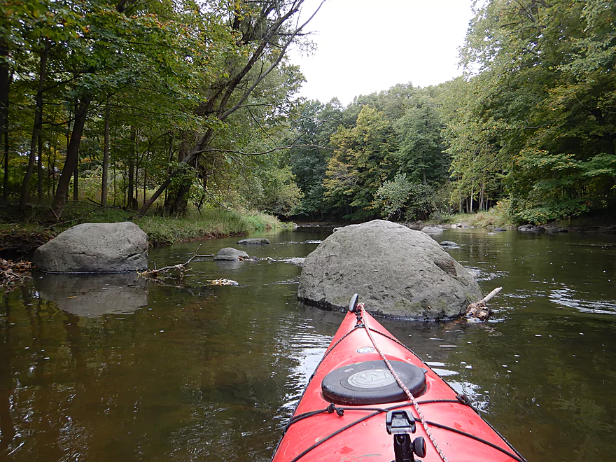
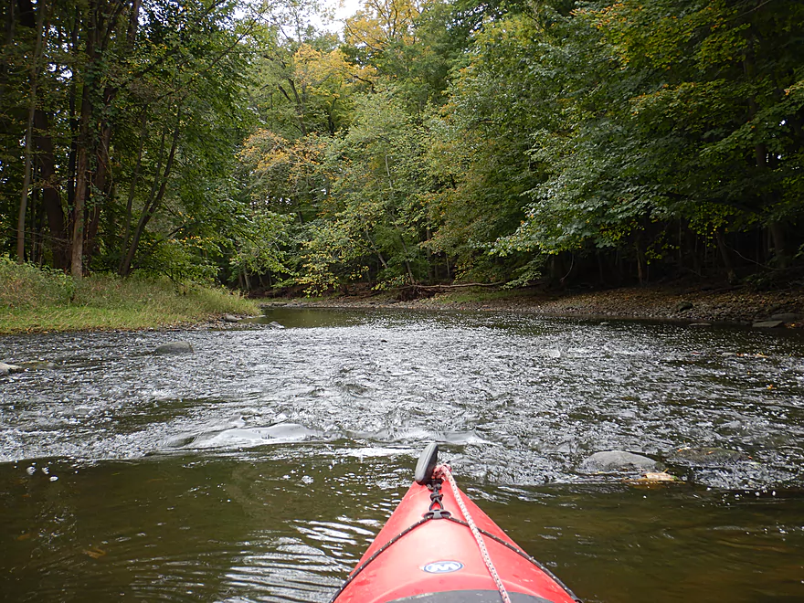
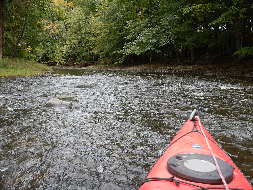
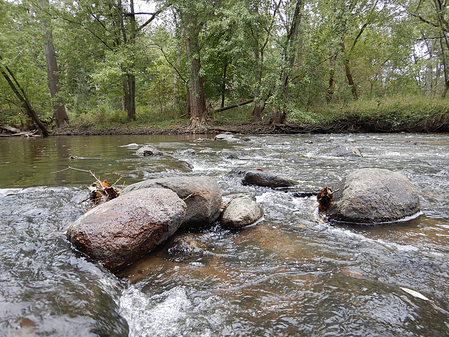
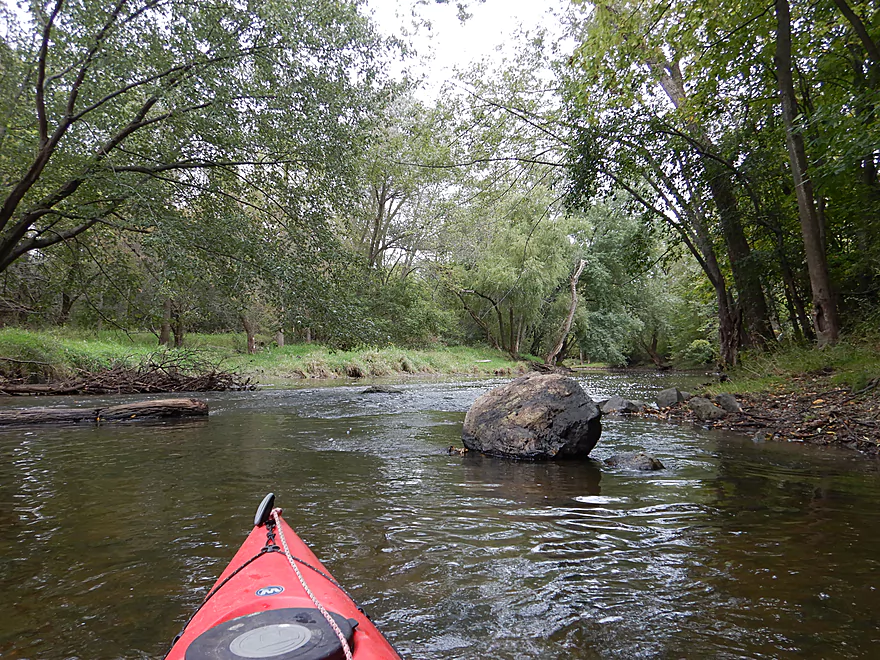
The first of many boulder gardens
The first mile had several small ledges
This part reminded me of the Popple River
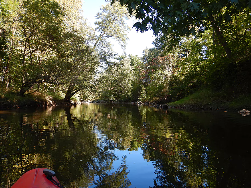
Some nice reflections while the sun was out
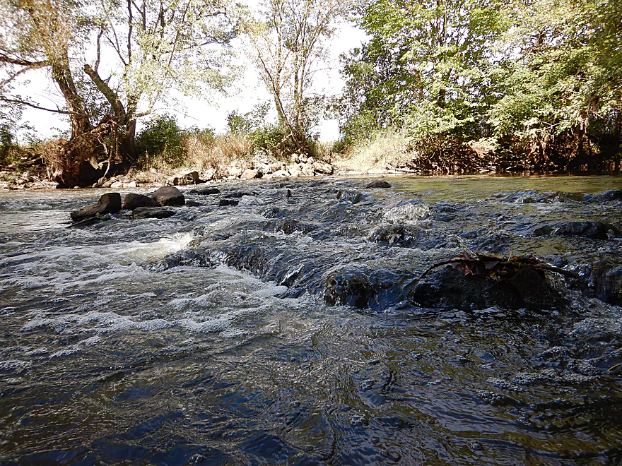
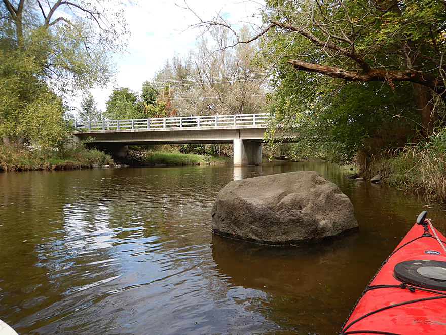
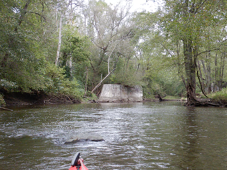
One of the larger ledges
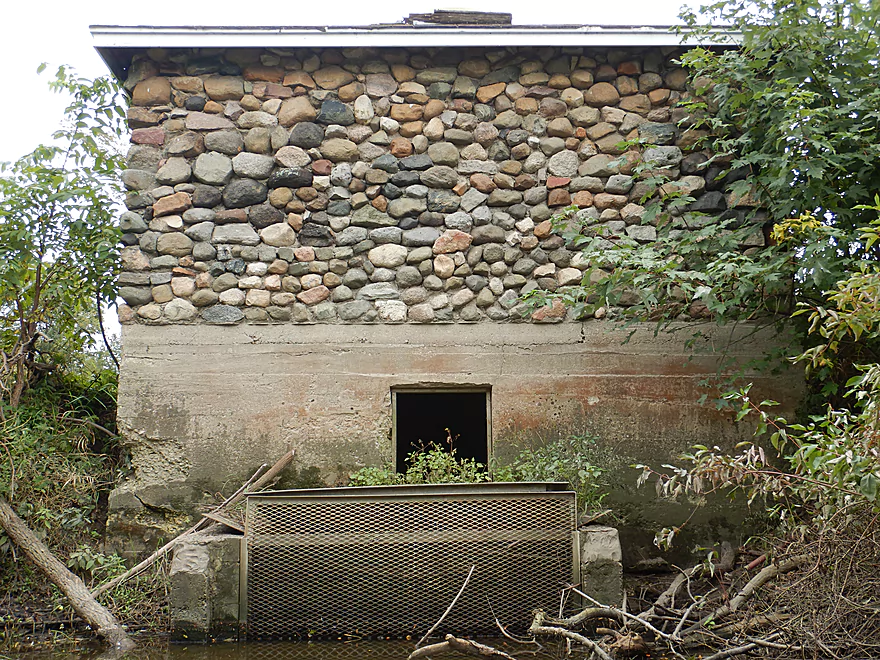
Looks man-made
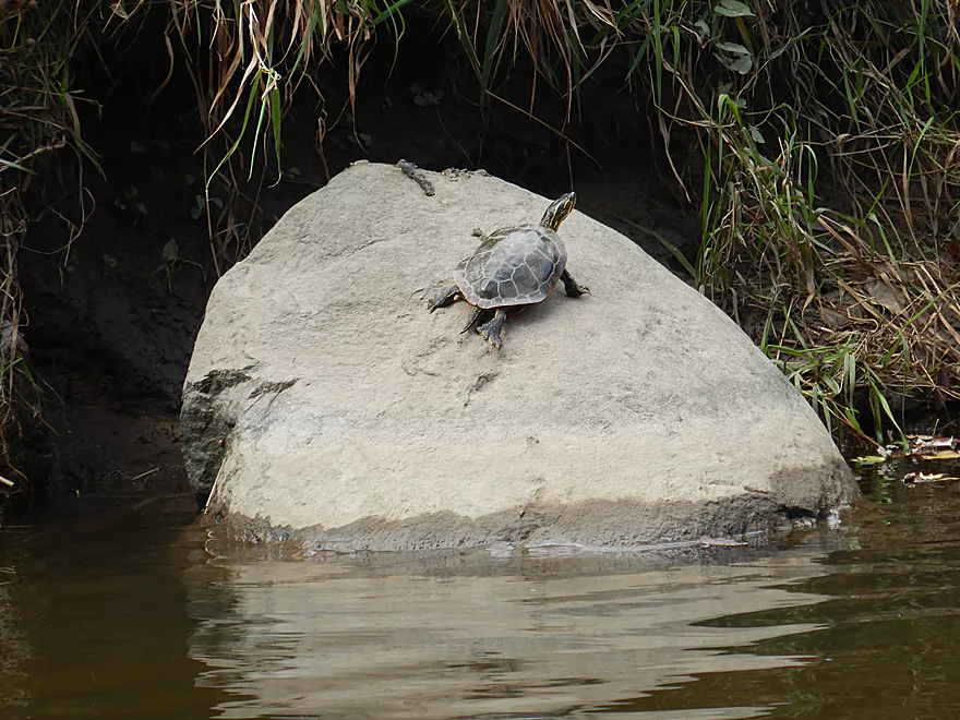
Not much wildlife, but did see this guy
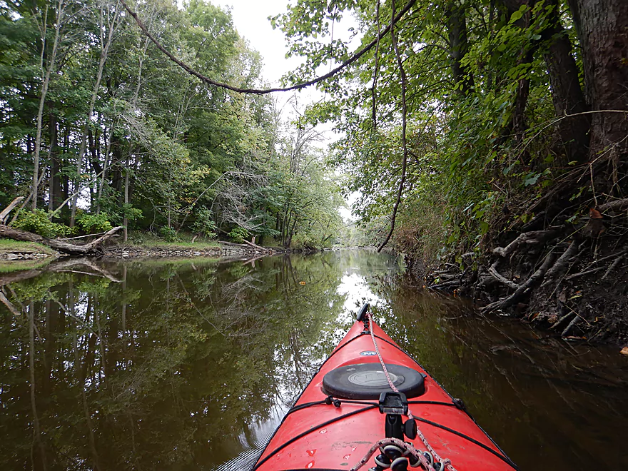
Surprisingly wooded for being so close to Racine
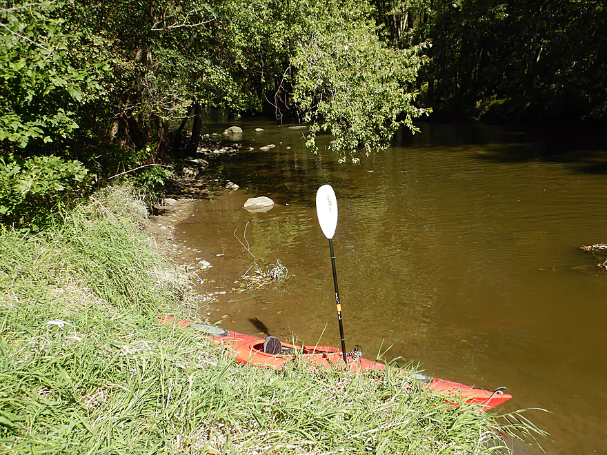
Linwood Park is a muddy but doable access
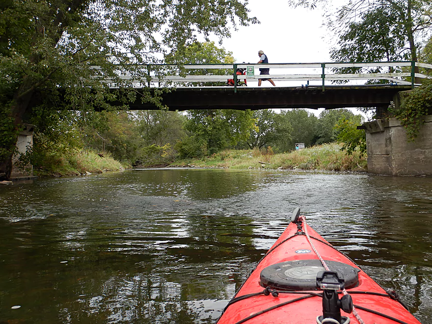
5 Mile Road
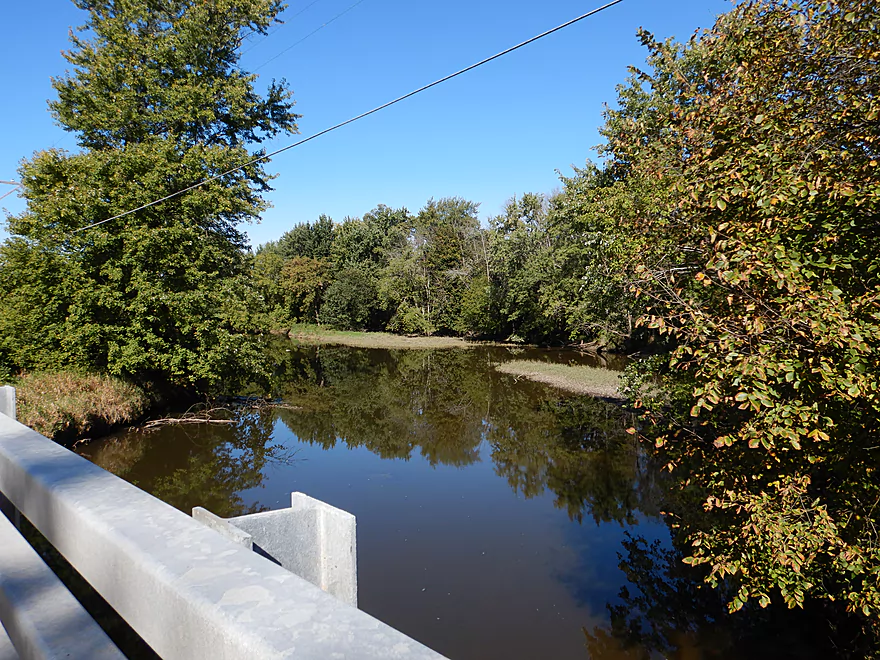
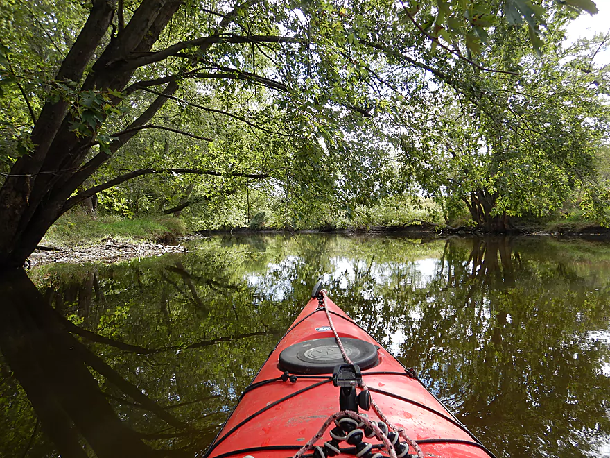
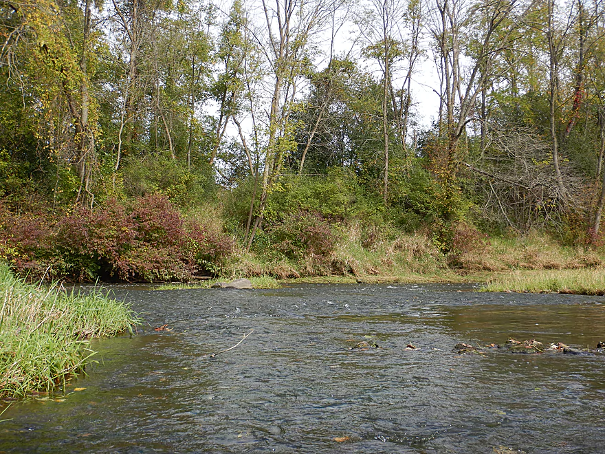
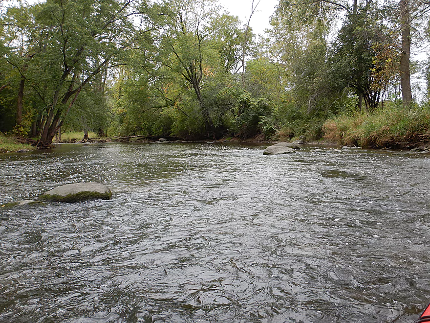
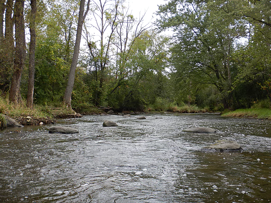
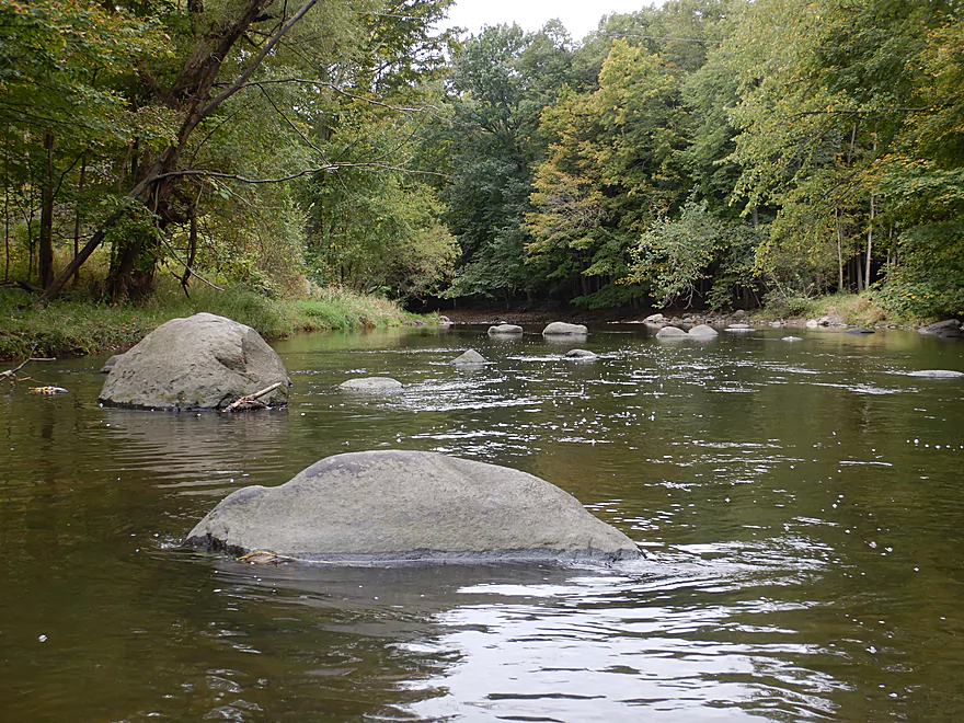
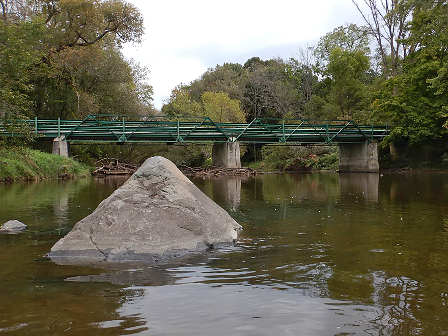
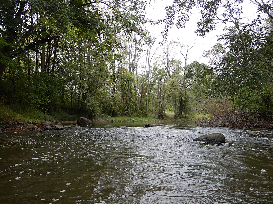
Looking upstream
The second mile was very slow and not as interesting
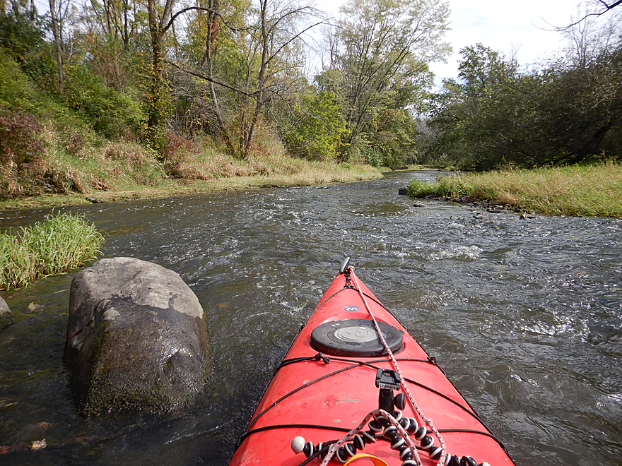
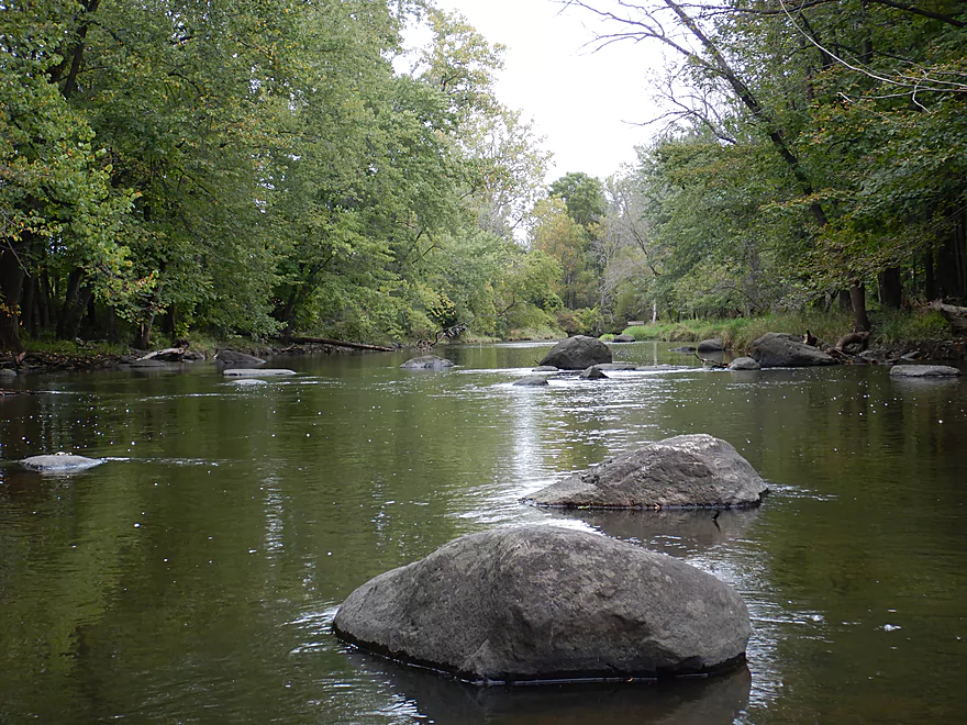
Still a few more ledges
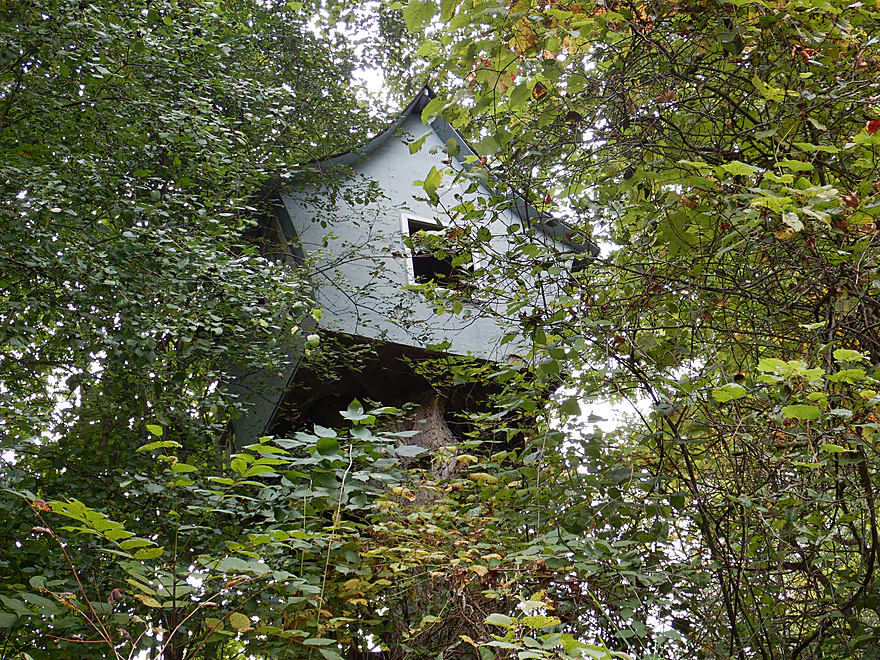
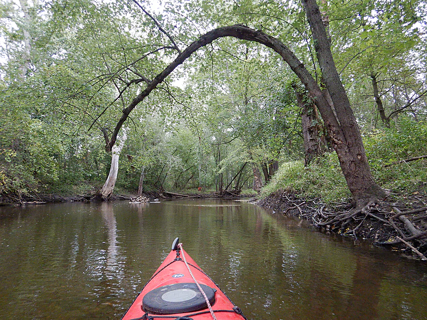
Quite the treehouse
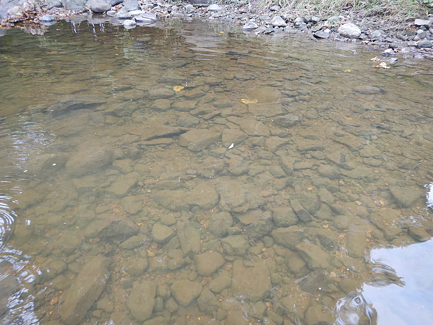
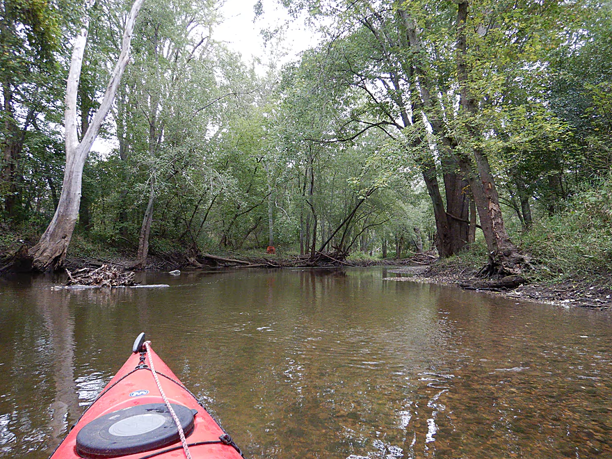
The water was both clear and murky
One of the more attractive ledges
4 Mile Road…not creatively named but a doable access
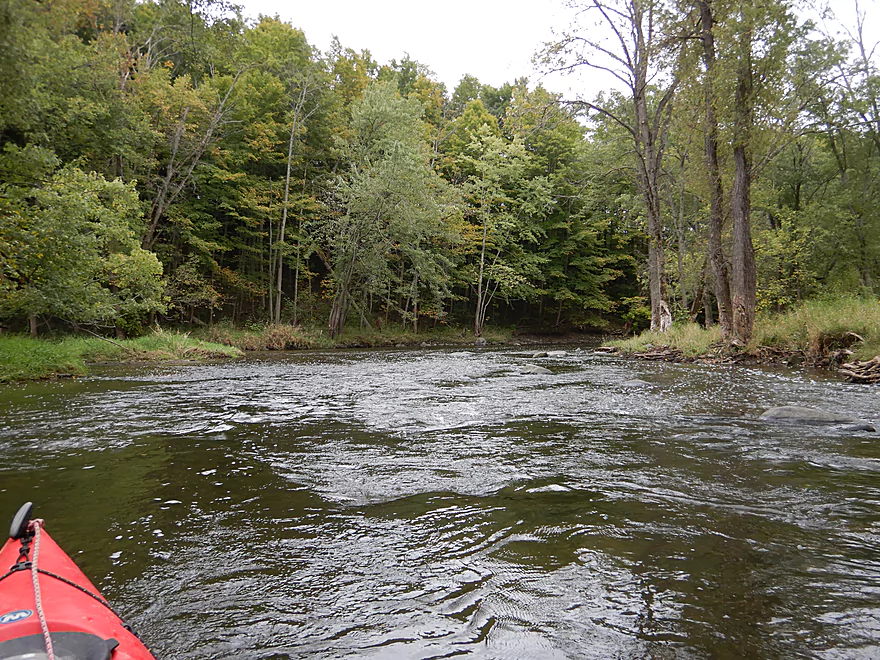
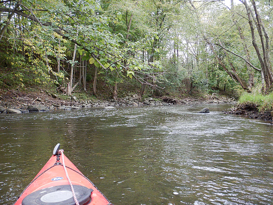
Finally the current starts to pick up
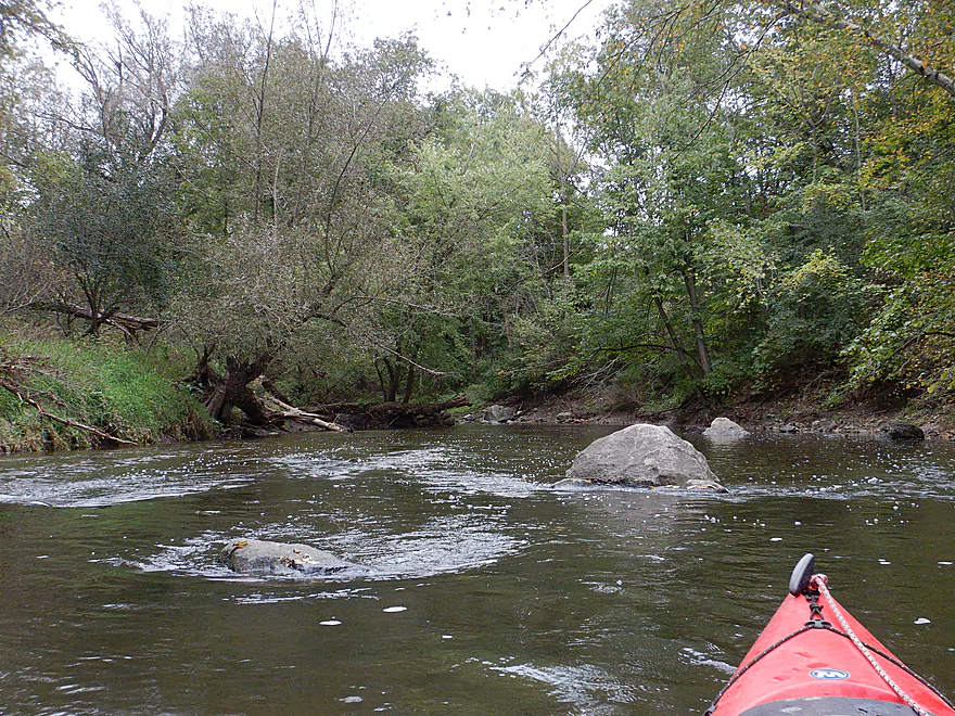
Some attractive but shallow rapids
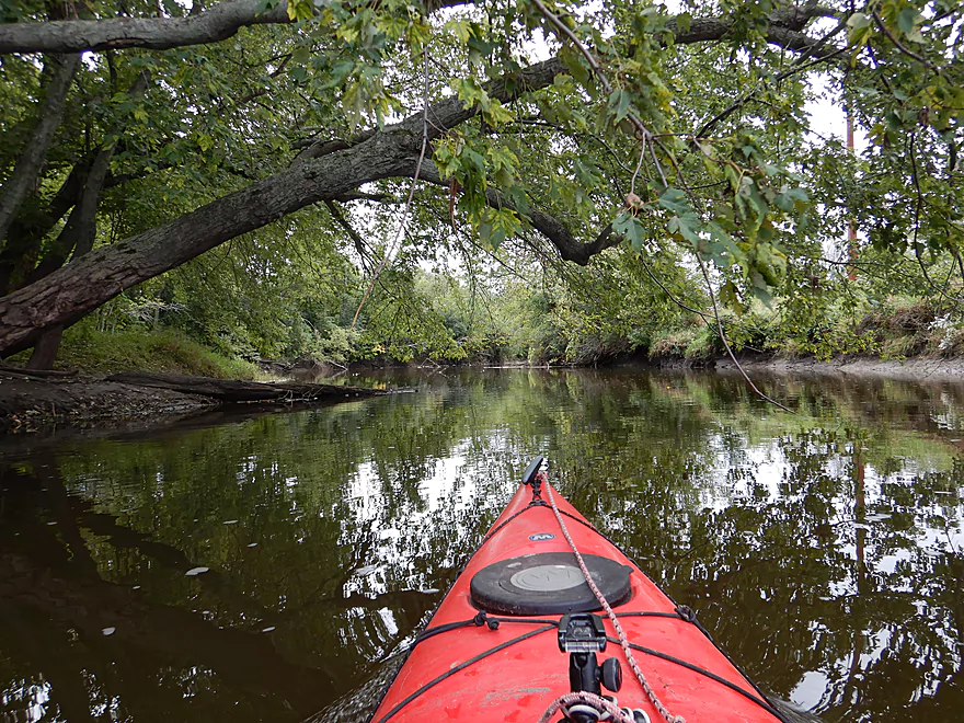
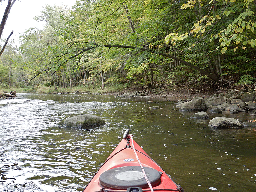
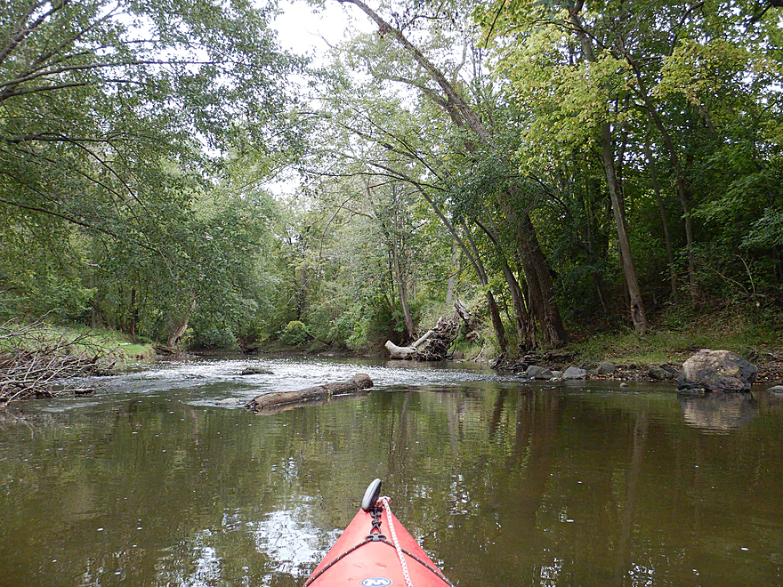
Start of a mile-long scenic section
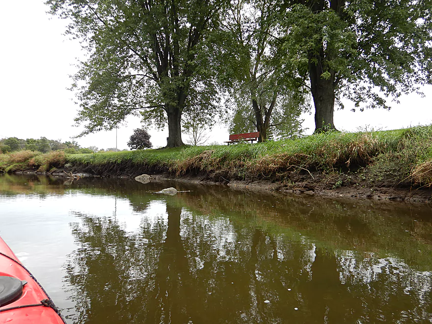
Reverse view
River completely changes in character
Reminded me of the Waupaca River
More light rapids
Reverse view
One of only a few hills on the trip
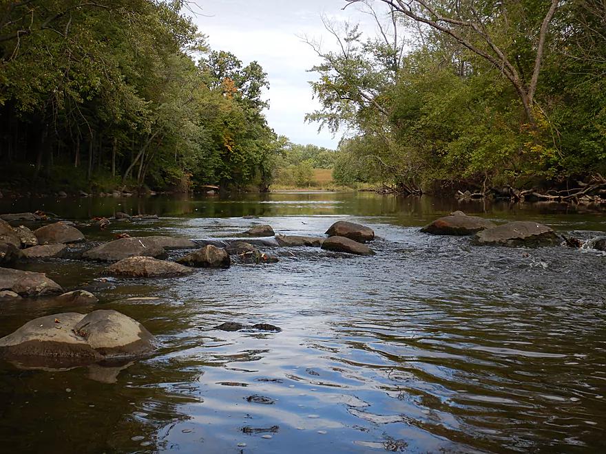
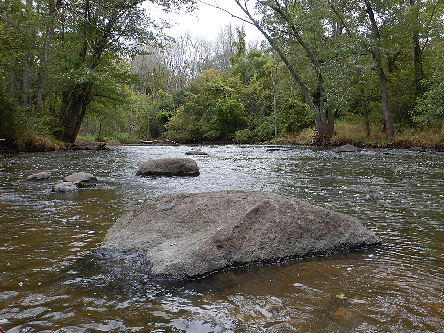
Start of the largest boulder garden
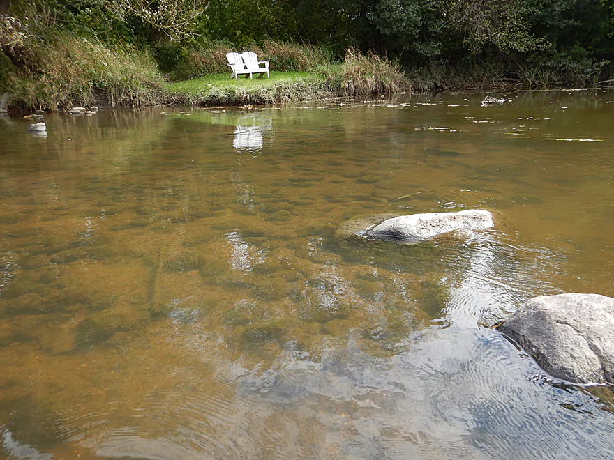
A pleasant surprise
Reverse view
At times good clarity
Scenic rapids
Not pictured, but a dog is chasing me from the right
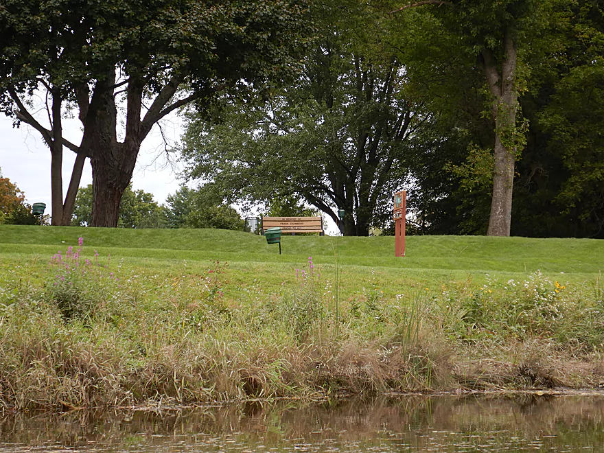
Entering the Johnson Park Golf Course
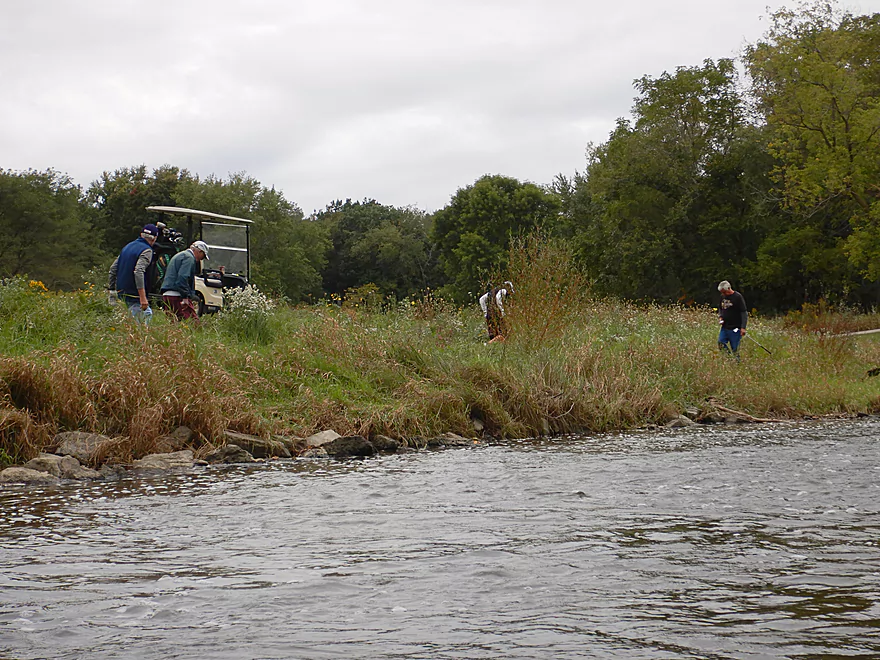
Lots of golfers looking for balls
This was a nice stretch but had a different character
Wonder if this contains a natural spring
The golf course was huge…just went on and on
Another golf bridge
Finally leaving the golf course behind
Still occasional ledges
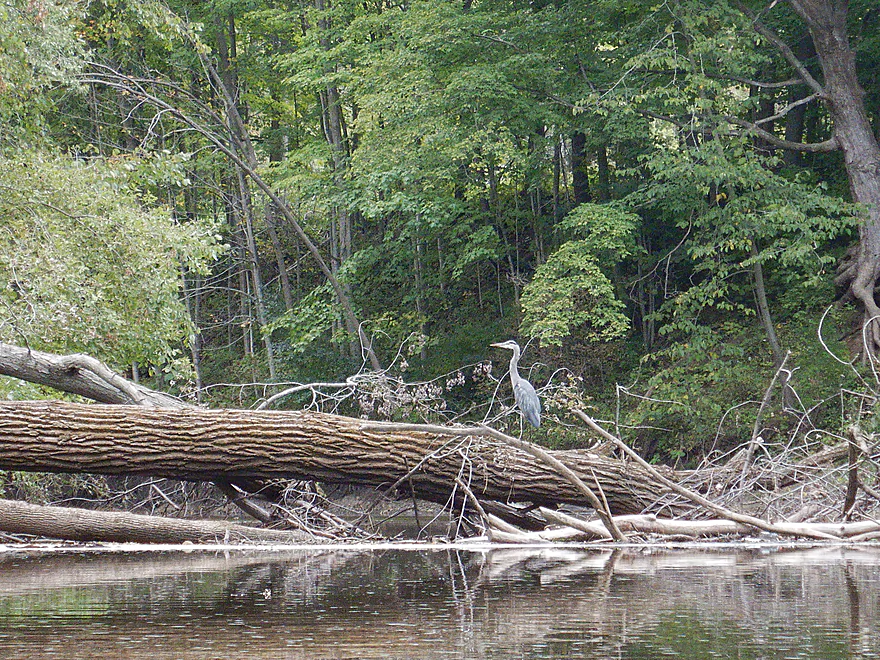
A great blue heron
The last mile was slower but still had some riffles
And still some boulders
Reverse view
The last boulder garden
Bark was likely stripped by ice floes
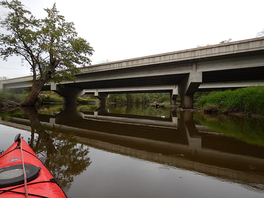
Looks like a washed out bridge
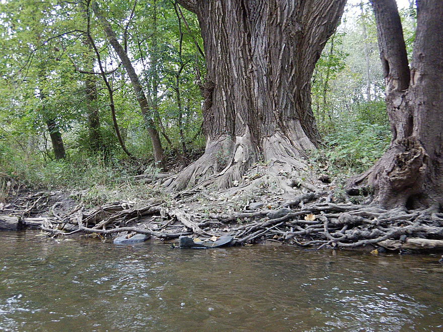
The thickest woods of the trip
Reminded me of Turtle Creek
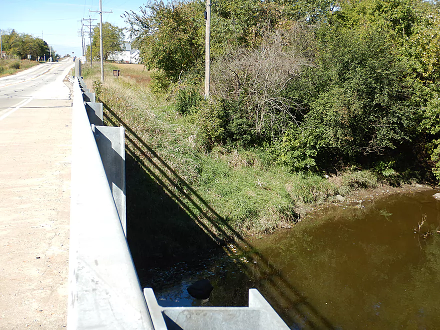
Taking out at Hwy 31
A dirty but workable take-out
I did drag my boat 300 feet to reach the car
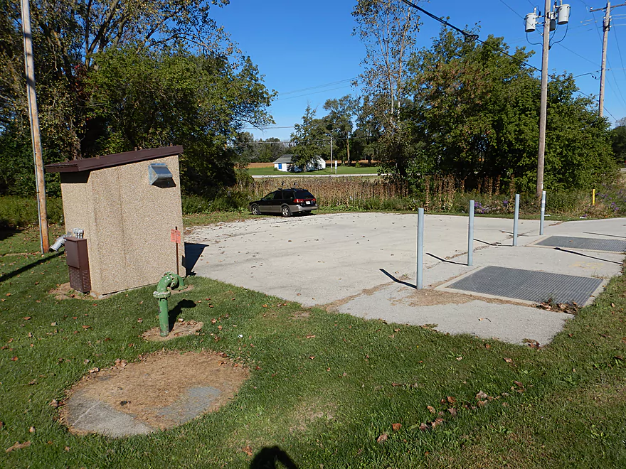
Great public parking
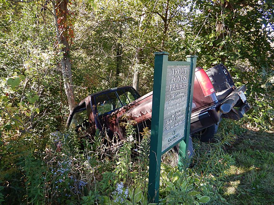
You can also park at nearby Trout Ponds Prairie (not like this guy though)
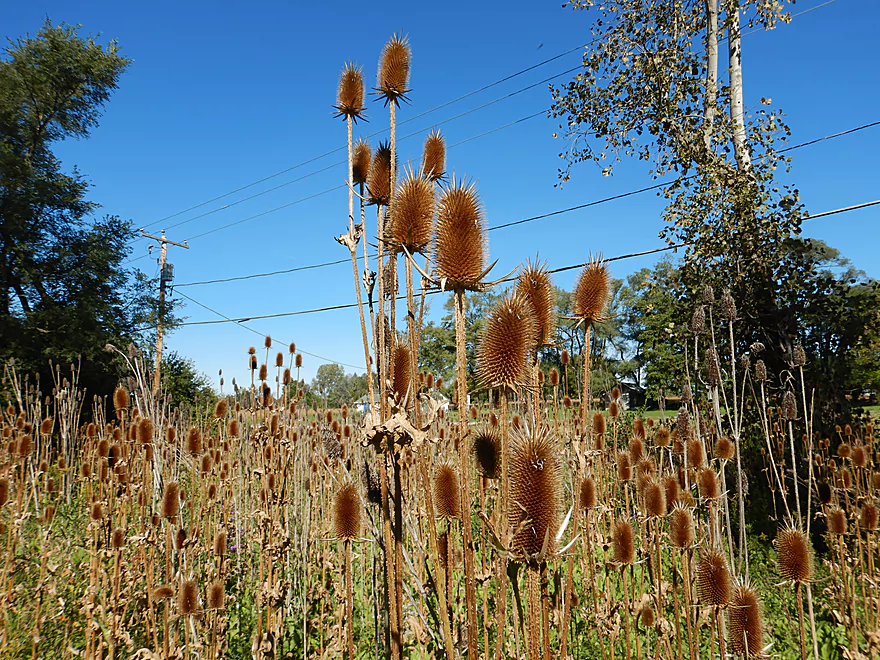
A field of teasels
Root River


Headwatered in southern Milwaukee, the Root River flows south through suburbia before taking a turn east through downtown Racine where it empties into Lake Michigan. It’s not a bad paddling stream and locals seem to enjoy it.
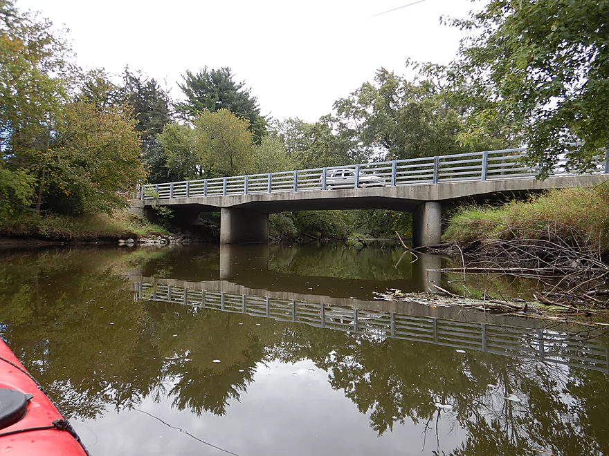
Most Wisconsin paddlers traveling to the Root will take the I-894 Milwaukee ‘Bypass’ which is an unfortunate way to start any day. This is a hideously congested, fast, narrow-shouldered, and confusingly designed freeway that requires constant lane changes. After surviving that I arrived at 6 Mile Road which was one of my contingency put-ins. While not great and with little parking, I wasn’t in the mood to scout other put-ins, so decided to start the trip right there.
My first impression of the river was somewhat positive and it reminded me of the Popple River in central Wisconsin. The banks were wooded and the channel while somewhat turbid had some clarity. There were occasional small boulder gardens and ledges which are always nice. On the downside the current was occasionally stagnant and the banks appeared to be somewhat beat-up and unhealthy.
After a mile, I paddled by 5 Mile Road/Linwood Park which is a decent access option (and was one of my contingencies). The subsequent mile honestly was pretty uninteresting, as the channel slowed and widened. To use another river analogy, this reminded me of the Rock River (the more boring parts) and my internal star rating dipped below 3.
Everything changed after 4 Mile Road though. The current really picked up with several fun light rapids and this was followed by great boulder gardens…very reminiscent of the Waupaca River trip I did a few months earlier. At the east end of this stretch was the Caledonia Dog Park which had the biggest and best boulder garden, and where a dog ran away from its owner to chase me.
After the dog park, the river entered a massive golf course, which wasn’t as interesting. There were plenty of golf balls in the water and golfers along the shore looking for them. After the golf course the river entered a wooded section. In keeping with my river analogies, this had a very Turtle Creek feel to it (a good thing). I ended the trip at Hwy 31, which wasn’t the funnest take-out as the shore was muddy and the air smelled like a mix of manure and burnt garbage (from I believe a nearby factory). But parking was good, which you always appreciate when on the outskirts of a large city (Racine).
In summary this was a mixed bag trip. 6 Mile Road to 5 Mile Road was solid but unspectacular. 5 Mile Road to 4 Mile Road was slow and uninteresting. The final 3 miles (4 Mile Road to Hwy 31) were great and likely the best stretch on the entire river (although the rapids below the Root River dam seem intriguing). Adventurous paddlers could continue on after Hwy 33 where there are several good accesses, but the river will be slower and less interesting because of a flowage. This was a fun paddle but mostly suited for locals as the nearby Bark, Oconomowoc and Milwaukee River will be much more interesting for paddlers.
Not much. A few dragonflies, minnows, a painted turtle, crayfish and clams. The highlight was an owl that showed up near the end of the trip.
The Root River has historically suffered from industrial pollution and its substrate does contain excess amounts of phosphorous as well as some heavy metals.
In roughly the year 2022, a pipeline will be completed that will send Waukesha’s wastewater into the upper Root River (close to Oakwood Ave in Franklin). Waukesha’s ground water is currently contaminated with carcinogenic radium. Personally I suspect its huge 250′ open pit mines located near the downtown are partly to blame, but that is another story. Because Waukesha is located outside of the Great Lakes Basin (and isn’t a Chicago suburb) it can’t draw water from Lake Michigan legally. A compromise solution was created such that Waukesha will be able to use Lake Michigan water if it returns its wastewater to the Great Lakes…and it plans to do so through the Root River.
This will actually have a very positive impact on the Illinois Fox which is currently the unlucky recipient of Waukesha’s effluent. Currently the Fox is very weedy and I suspect it will be a much cleaner and more interesting paddle once the pipeline is completed.
But, this will dramatically change the Root River. There are different estimates of how much waste water will enter the Root, but my best guess is +90 CFS (which for a small river is a lot). I saw another estimate that this could increase river levels by 5 inches which would permanently smother some of the smaller boulder gardens and rapids. Another issue is this wastewater will carry a number of nutrients as well as phosphorous which will create weed issues on the river, especially along the slow sections. So all in all, kind of sad. The Root that I paddled likely won’t exist after 2022…it will still be navigable but will be a different experience.
One other environmental note… Just downstream from my take-out is the Root River dam. It’s considered a safety hazard as officials don’t believe it can withstand a hundred year flood and they are in discussion to remove it. Obviously the Waukesha pipeline will just make matters worse. Locals are fighting a proposed dam removal (like they always do)…but I really hope this succeeds as it will help with the water quality and make the section above the dam much more interesting for paddling.
I launched at 6 Mile Road which was not a good put-in. Heavy traffic was an issue and there was barely room to pull off the road (there is a small spot northwest of the bridge that works). I then had to drag my boat 300′ through a grassy ditch to reach the river, where it was easy to launch. All doable, but not fun.
An alternate access 1.3 miles upstream would be at West 7 Mile Road. I believe other paddlers use this as an access and it should be doable. This additional segment should be mostly wooded and nice, with perhaps one logjam.
An alternate access 1.2 miles downstream would be at Linwood Park. This is a good public access although the banks here are a bit steep and muddy.
I took out at the northwest corner of the Hwy 31 bridge. Doable, but not a great access. Disembarking is a bit trick as it is muddy here but at least the banks are flat. From the water, I dragged my kayak 340′ north along a fishing trail to reach a utility pull-off where local fishermen park. If you park here, make sure to park off to the side in case utility workers need to access their station. There is also parking available at the nearby Caledonia Conservancy trailhead.
An alternate take-out 2.0 miles downstream would be at Armstrong Park which would likely be a good access. However this leg probably isn’t as interesting.
An alternate take-out 3.5 miles downstream would be a public landing just northeast of the Hwy 38 dam. This would involve mostly flowage paddling and likely be boring.
The bike shuttle wasn’t too bad at only 4.1 miles, all paved, and only minor hills. Hwy 31 is not a fun road to pedal along because of its heavy and fast traffic as well as stop-light intersections, but is shoulders are wide. East River Road and 5 Mile River have small shoulders but little traffic.
Current: Outside of a few light rapids, the current is pretty slow.
Logjams: None.
Hazards: None really. There are rapids, but all are Class 1. During higher flow rates, they may be stronger and more tricky though.
There are two gauges on the Root with the downtown one being more relevant for paddlers:
- 0-20 CFS: An average fall depth. Likely too shallow for paddling.
- 21-40 CFS: Most rapids would likely have to be walked. Clarity though should be good.
- 41-80 CFS: Likely a good depth with pronounced boulder gardens. You can get through most ledges/rapids ok, but some will be bumpy. This trip was done at 57 CFS which was a good level.
- 81-110 CFS: A higher depth that will be fun for running the rapids. Boulder gardens will be smaller at these levels though.
- 111-150 CFS: A much higher depth that wouldn’t be as scenic.
- 151-1000 CFS: This might be only suitable for experienced paddlers in whitewater boats.
- 1001+ CFS: Very high levels and likely not recommended.
Special thanks to Trailville.com which has useful overview information on a number of Southeastern Wisconsin rivers including the Root River.
- E. County Line Road to West 7 Mile Road: 1.8 miles. I suspect this is a simple stretch with no rapids. There are many logjams on this stretch. See overview map for exact put-in location.
- West 7 Mile Road to 6 Mile Road: 1.3 miles. Likely a nice section. Maybe one logjam.
- 6 Mile Road to Hwy 31/Ole Davidson Road: 5.7 miles.
- 6 Mile Road to 5 Mile Road: 1.2 miles. Ok section with several small ledges and small boulder gardens.
- 5 Mile Road/Linwood Park to 4 Mile Road: 1.3 miles. A slow and somewhat uninteresting section.
- 4 Mile Road to Hwy 31: 3.3 miles. Terrific section with some fun light rapids and scenic boulder gardens.
- Hwy 31 to Armstrong Park: 2.0 miles. Fewer woods and some development. Likely a less interesting segment.
- Armstrong Park to Horlicks Pond Landing: 1.5 miles. Mostly a stagnant flowage. Likely not interesting. Landing is located northeast of the dam.
- Horlick Dam to Quarry Lake Park: 0.6 miles. A rocky and scenic section with perhaps some dells. Numerous Class 2 rapids and one Class 3. Best put-in is likely east of the dam which fishermen use, but I haven’t scouted this so I don’t know how difficult it is to launch here. Daredevil boaters run the dam (not recommended).
- Quarry Lake Park to Lincoln Park: 1.4 miles. Flows mostly by a golf course, but this should be a pleasant stretch. Alt access at Colonial Park.
- Lincoln Park to Clayton Park: 2.4 miles. A mixture of suburban neighborhoods and public parks. This can be a rocky stretch in low water. Likely a good prospect. The Steelhead Dam would have to be portaged which should be easy. Alt access at Horlick Park.
- Clayton Park to Lake Michigan Pathway Ramp: 2.3 miles. River widens for the last segment. Paddle partly through downtown Racine, see a drawbridge and huge fleets of sailboats. Multiple other take-out options near or on Lake Michigan.
Trip Map
Overview Map
Video
Photos Size:
Is there a place that rents kayaks on this river ? Or on a different river close to there ?
On the Root River…I can’t think of any. You may want to contact the Racine chamber of commerce for more information. For a map of nearby liveries (that I know of) checkout: https://www.wisconsinrivertrips.com/livery-map.html
There are 2 places to rent canoes in Racine. One above the dam and one below. There are Great Blue Herons nesting spots above. This writers experience was bad because he didn’t do much reseach.
During summer months there are hourly rentals available from “The REC” (https://www.uwp.edu/learn/colleges/naturalhealthsciences/reccenter.cfm), but that is (as far as I know) only for the ‘estuary’ part of the river, downtown to the harbor. I don’t know if they allow you to rent and then haul (cartop or trailer or ?) their boats to do other sections of the river. It would get a bit pricey (a good number of hours rental) by the time you haul up, set shuttle, and get back to the center.
Thanks Rob! I have a livery map that on this website…and “The REC” had been added.
has anyone gone tubing down the root river or is that not allowed?
I’m not sure…you might contact the DNR.
Thanks for your beautiful pictures of this dispersed prairie wonderland. I am looking for people to help me out advocating for this river The Environmental Impact Statement is at this URL. https://dnr.wisconsin.gov/topic/EIA/waukesha The project will fill the river with microplastics and pharmaceuticals not yet regulated by the Wisconsin Department of Natural Resources (WiDNR) or the Environmental Protection Agency (EPA). The Cornell Policy review stated that this particular implementation of the Great Lakes was a very bad idea in addition to the unregulated pollutants. http://www.cornellpolicyreview.com/waukesha-diversion/
If you are a Milwaukee County or Racine county resident please write your county board members and legislators. I will take e-mails at dave5056@att.net Please help out. I wish they would follow the University of Wisconsin Milwaukee’s (UW-M) proposal and run the pipe line to the lake where the School of Fresh Water Sciences can cooperate with Waukesha to further clean and monitor the water returning to the great lakes basin.
I love kayaking on the Root river and I grew up a mile from her head waters in New Berlin. I spent my child hood playing on her shores in Greenfield Park Please contact me and we can get about the business of asking our representatives to do this more responsibly. Peace Be With You. Dave Fulwiler
Thanks for the heads up…I’ll send you an email later here.
Stretch: Root river – Harbor to island park around trip
Put-in: Rooney recreational area
Take-out: Rooney recreational area
Time: 1:50
Depth: 8.7′ at Park Side Rec Center
Date: March 13th, 2021
Went out today late afternoon for an early season kayak paddle. River was about a foot lower then usual yet the current once past the N. Memorial st. Bridge was stronger then usual except during heavy rain / flood season. Current really picked up near the 6th st. Bridge. Nice eddy behind a large Boulder just south of the bridge to the East. Went around the island to the West on the way North. Current really picked up just before the North end of the island. Current was nice on the way back (East side of island) even though the wind was in my face. No log jams or significant low spots. Saw lots of winter beaver activity and lots of recent tree trimming. Ice is completely gone. Didn’t see any other watercraft and only one fisherperson. Besides being a bit chilly was a great day on the lower Root river.