
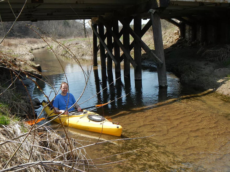
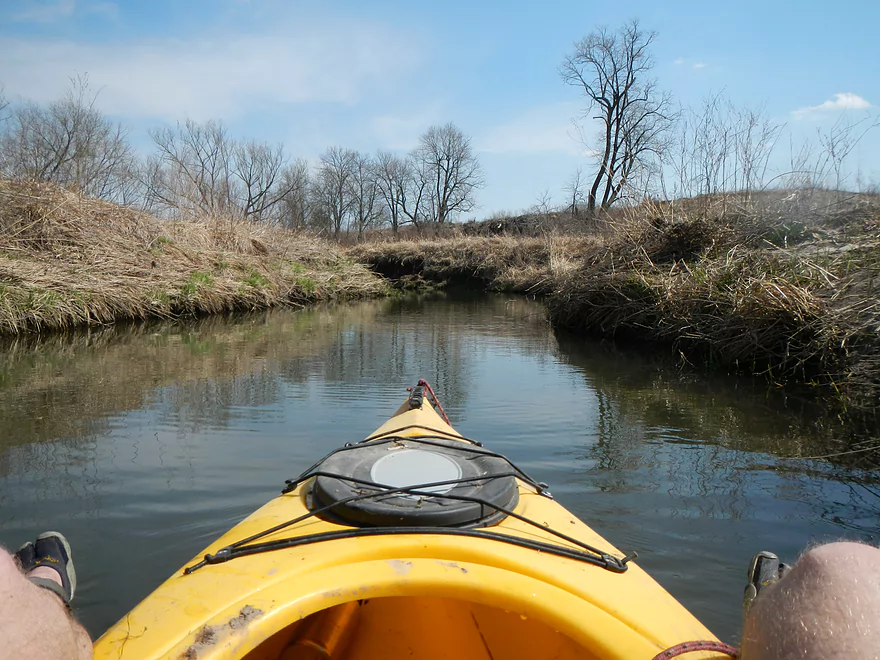
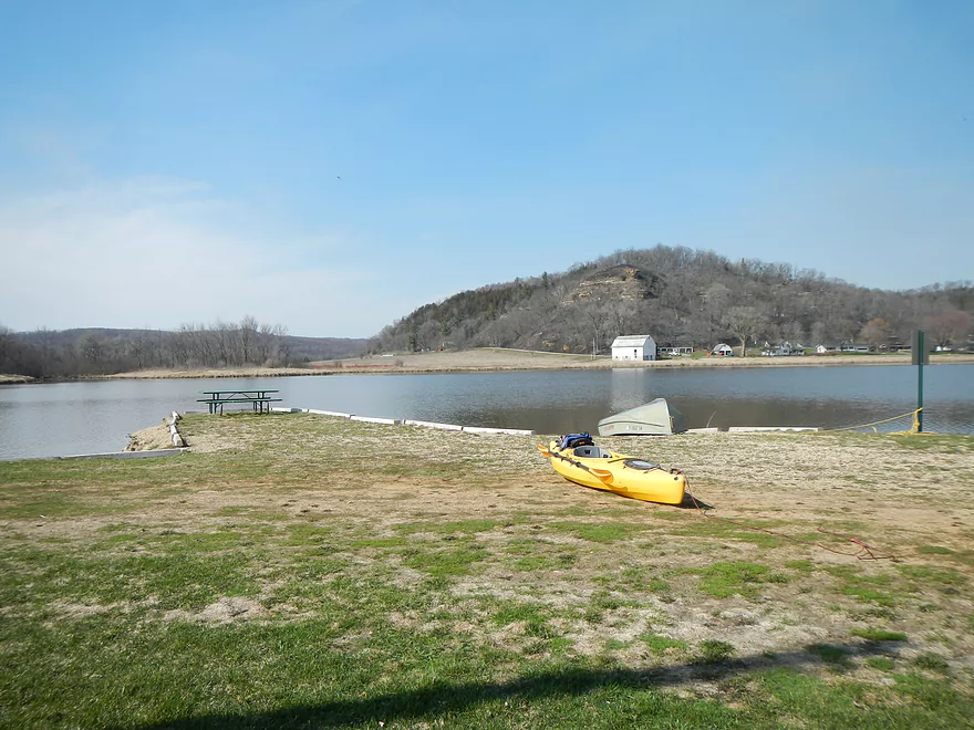
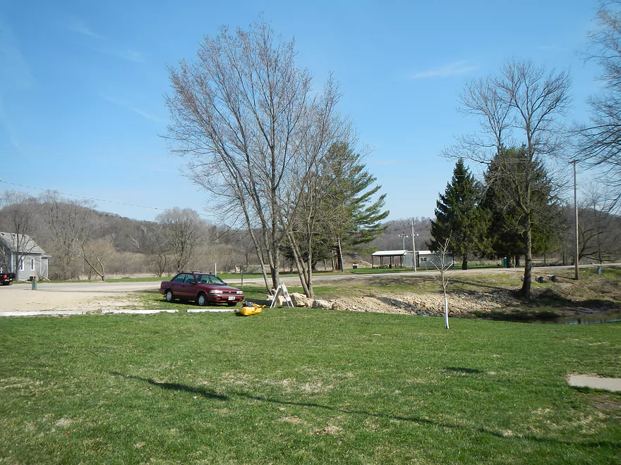
Putting in – PF Bridge
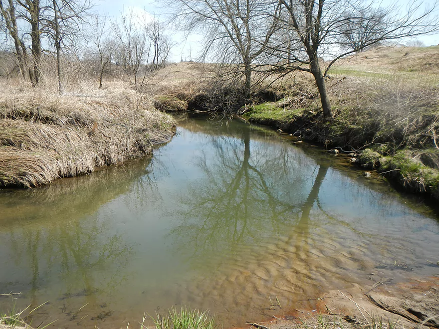
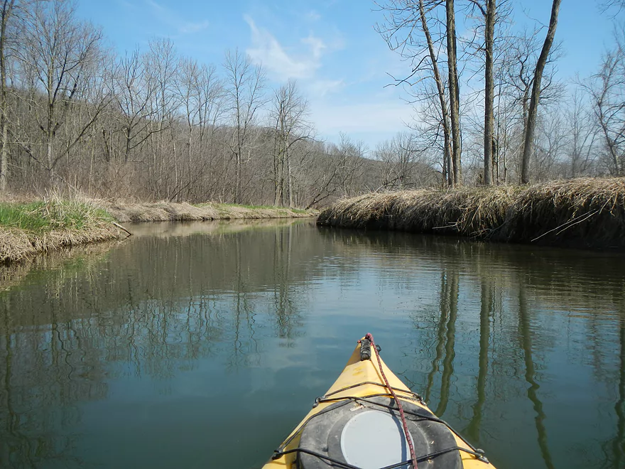
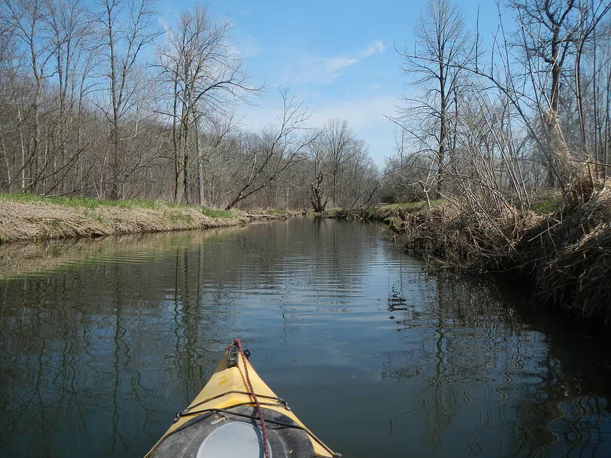
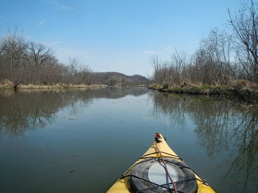
View upstream
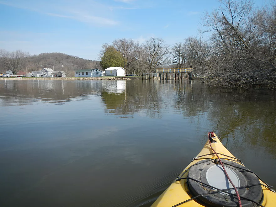
View downstream
First of many portages on upper section
More portage excitement
Muddy portage
Crane in the middle (hard to see)
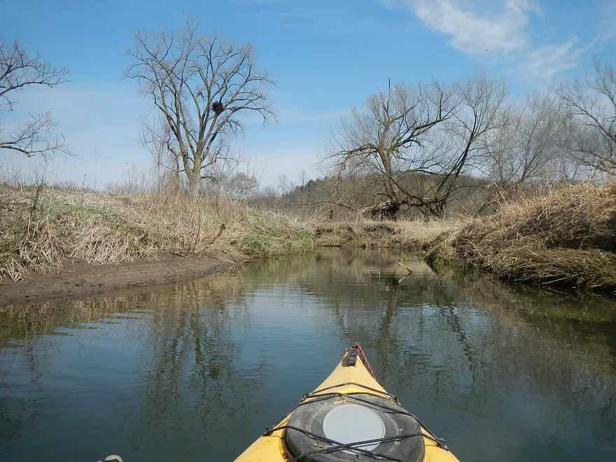

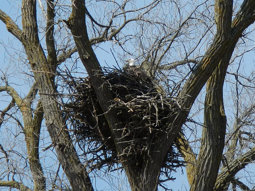
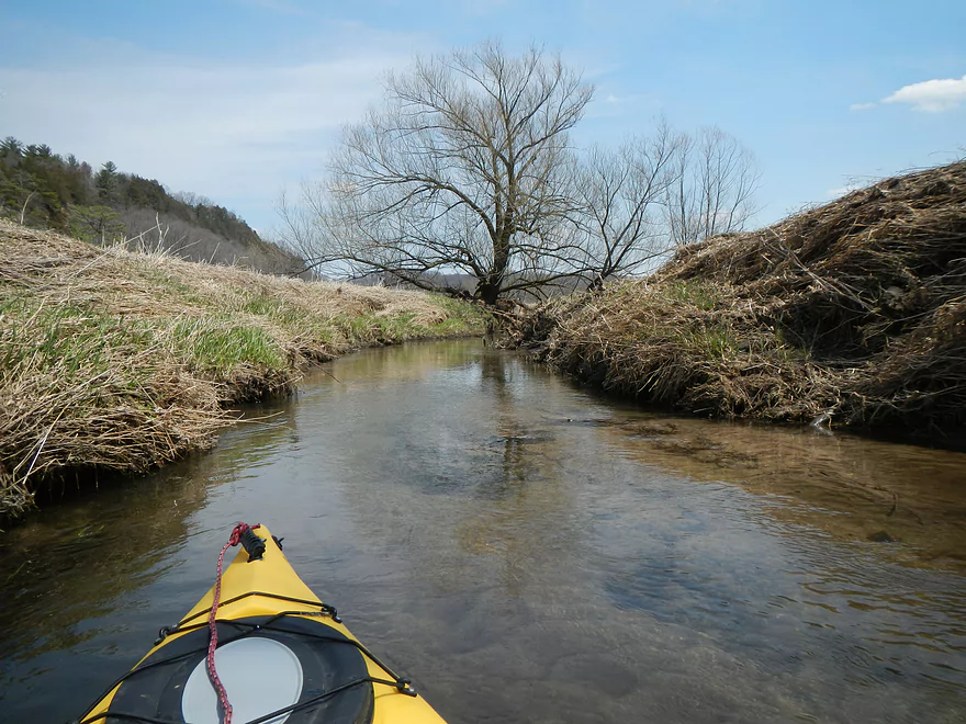
Eagle nest
East branch joins the west branch
Only log jam on lower section…was able to avoid portaging barely
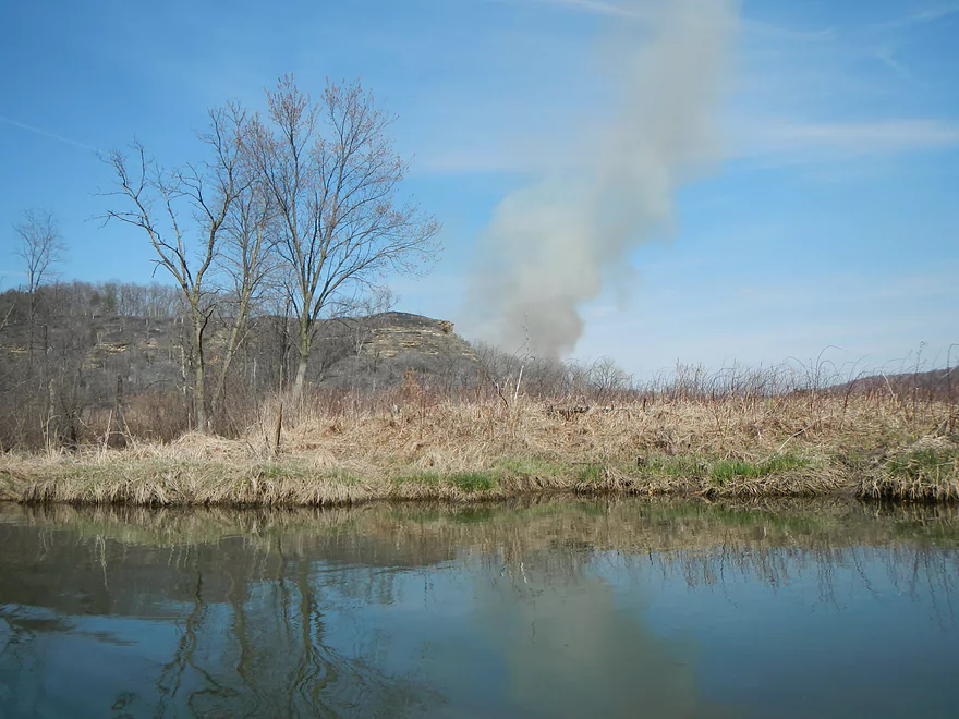
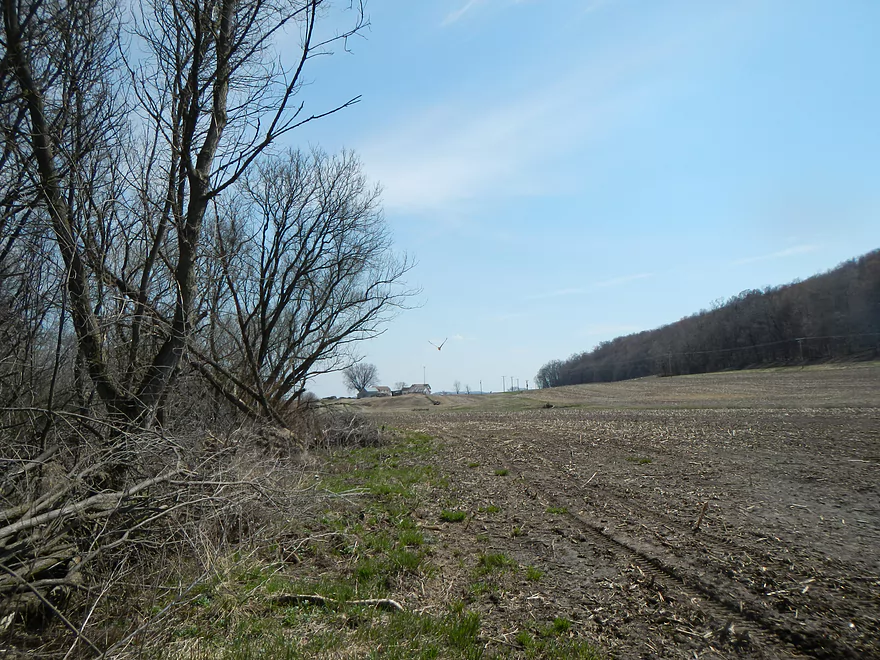
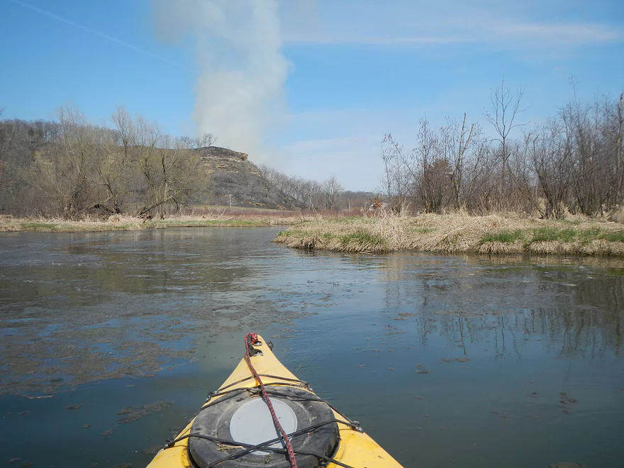
That entire hillside was undergoing a controlled burn
Honey Creek/Leland Dam
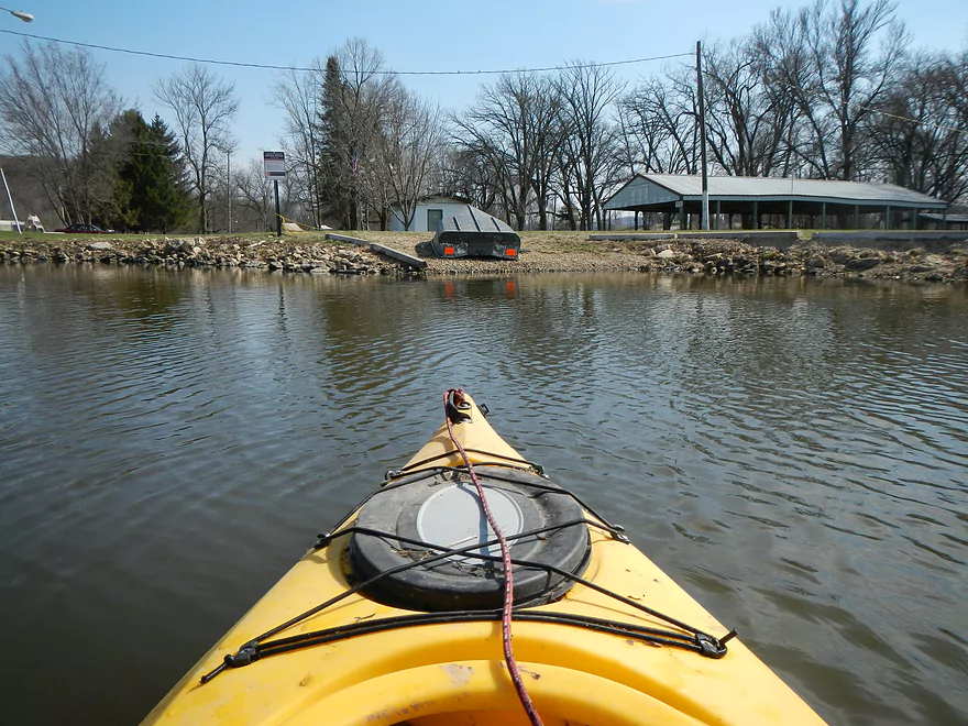
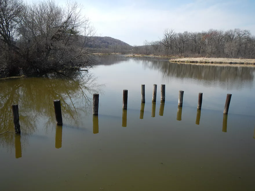
Boat landing – Just missed a beaver who dived
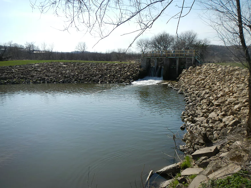
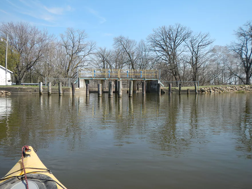
Downstream view of the dam
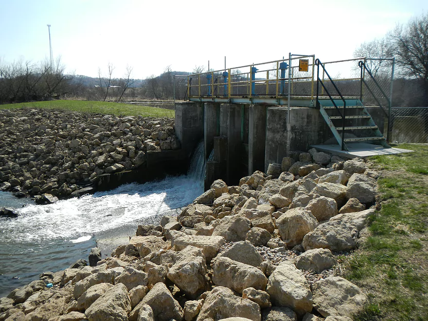
Downstream of dam
Pillars to protect the dam
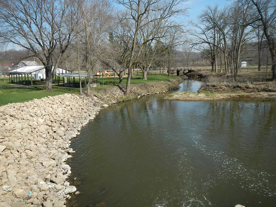
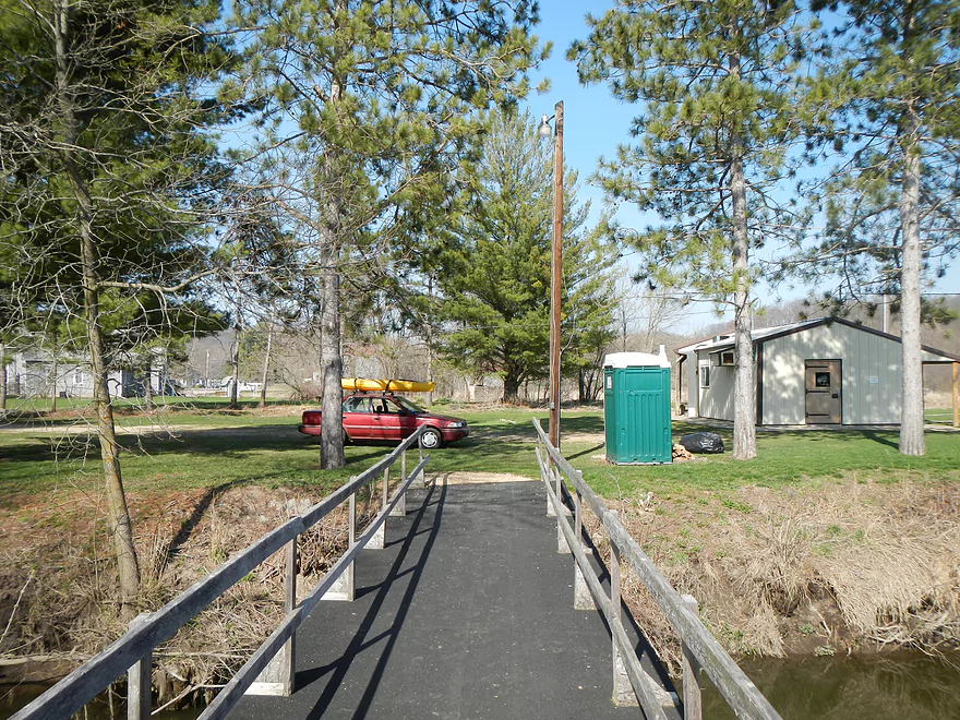
Public park in Leland with bathrooms
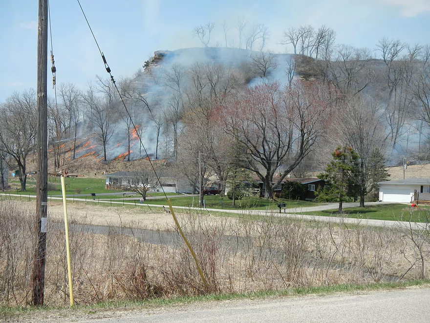
Controlled burn nearby
Honey Creek – Upper

This is a small creek located in the foothills of the Baraboo Hills, close to Natural Bridge State Park and Hemlock Draw. For the most part, the creek is rarely paddled except for the lower section, which is closer to Sauk City and empties into the Wisconsin River. The other exception is an area above the Leland dam where the higher water makes navigation easy for local canoers. This review covers that upper portion…but instead of doing an up and back from the Leland dam (which most locals do), I put in at the upstream Highway PF bridge and floated all the way to Leland.
Really, in summarizing the trip, there are two sections: a bad section and a good section. I’ll start with the bad.
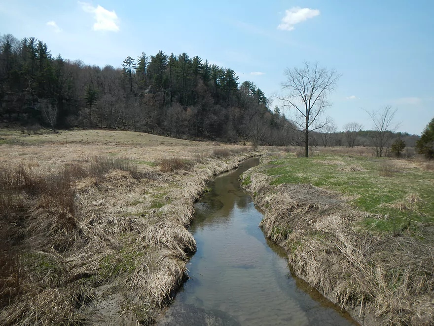
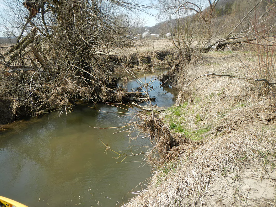
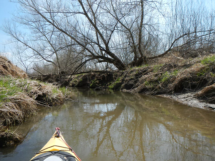
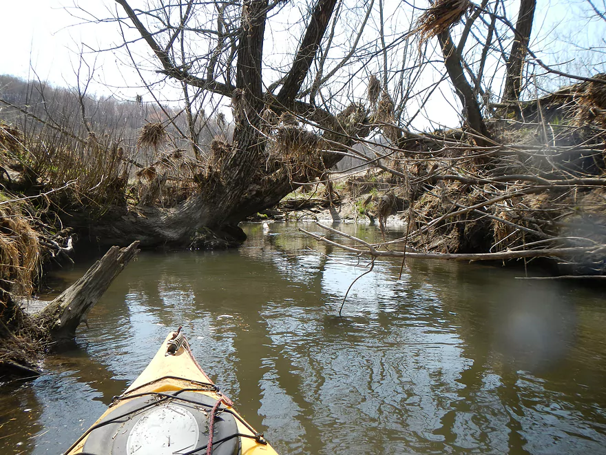
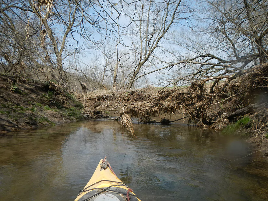
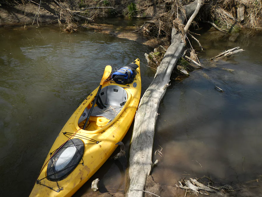
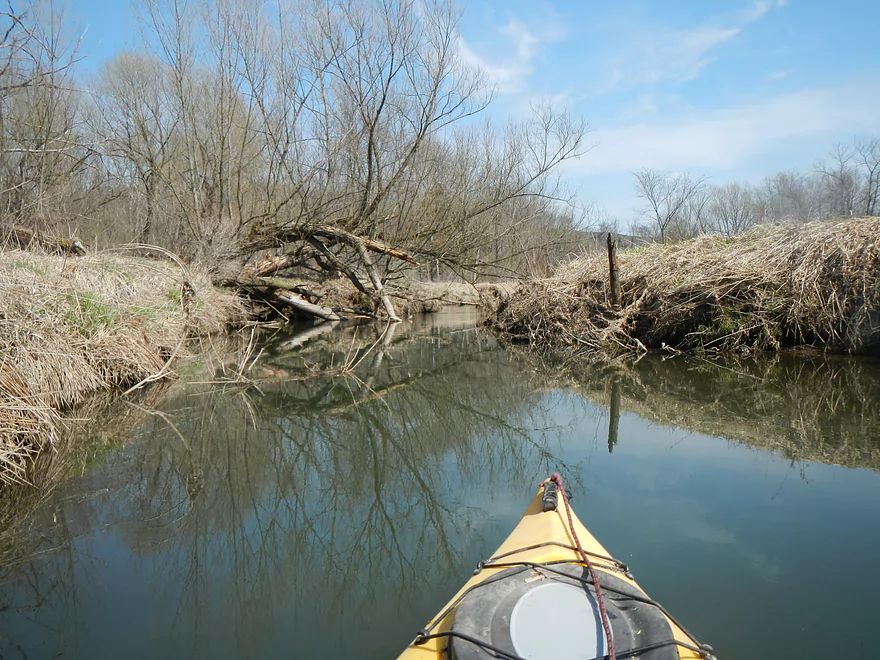
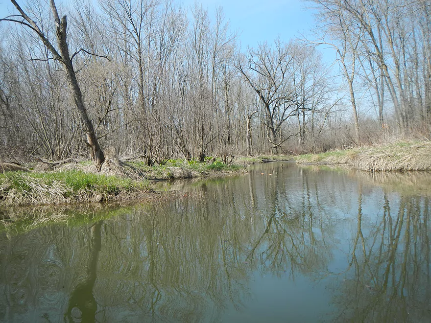
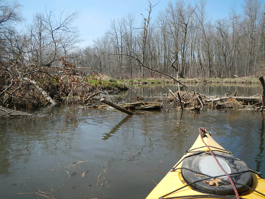
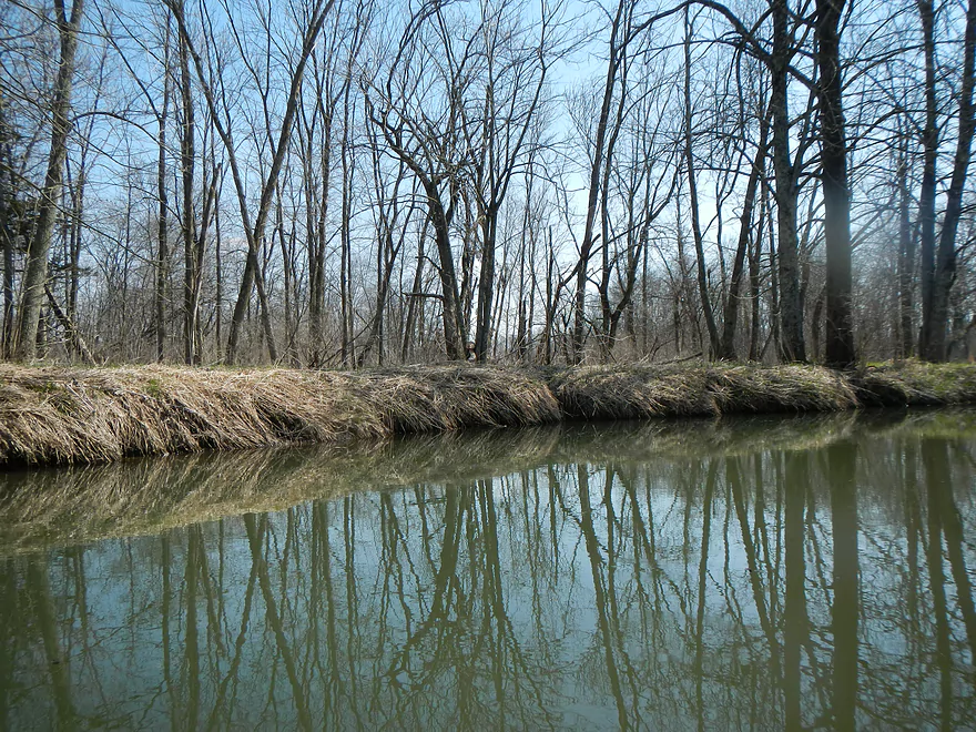
I put in at the Highway PF bridge (see map and don’t do as I did). It might be possible to put in further upstream…and the area is certainly scenic enough (there are a number of public and private natural areas along the creek), but I would be leery of log jams. Starting from the PF bridge, there aren’t really that many log jams for the first half mile. The water is shallow, but I never once got stuck with my 10′ Equinox (its unique concave-shaped hull makes it an excellent shallow-water kayak). I absolutely wouldn’t do the upper section with a canoe nor a v-bottom kayak. Water is very clean to start with, and you have scenic bluffs around you…so far so good. Then, once the trees start crowding the creek, you start getting log jams. Most creeks are like this…if you can’t see the creek from Google maps because of tree cover, then chances are there are log jams. I portaged the first few, then gave up and used my handy tow-rope (a must for suspect waters) to drag my kayak along the grass bank to a known safe area to put in again.
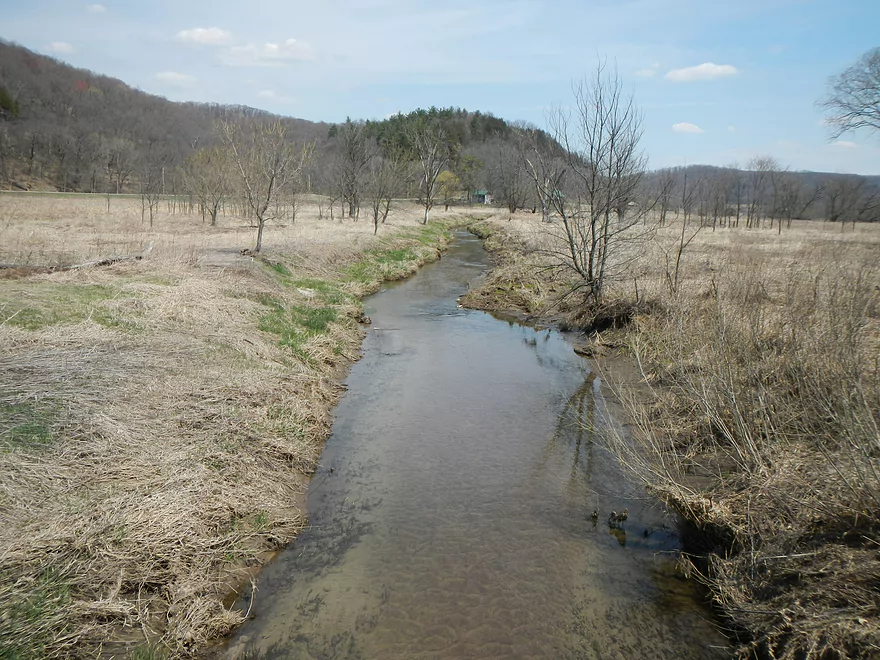
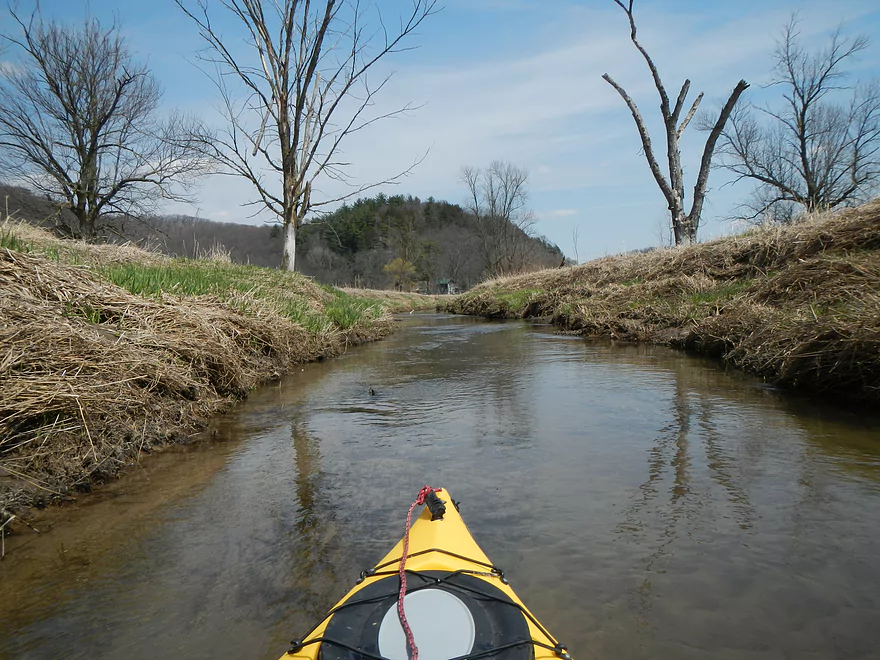
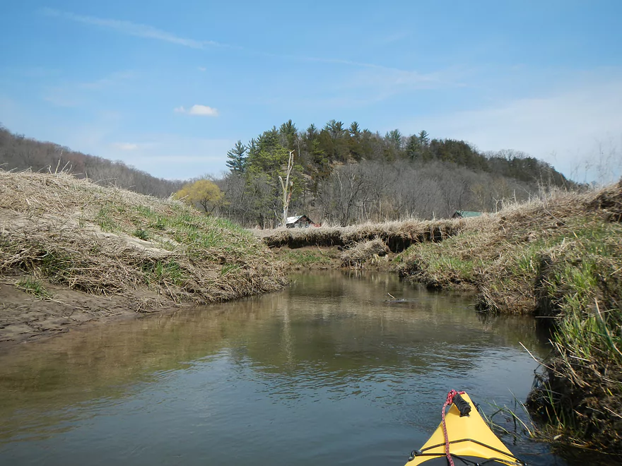
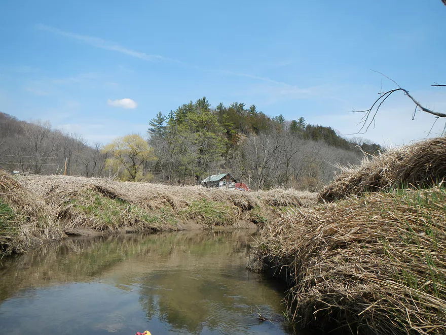
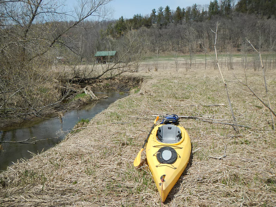
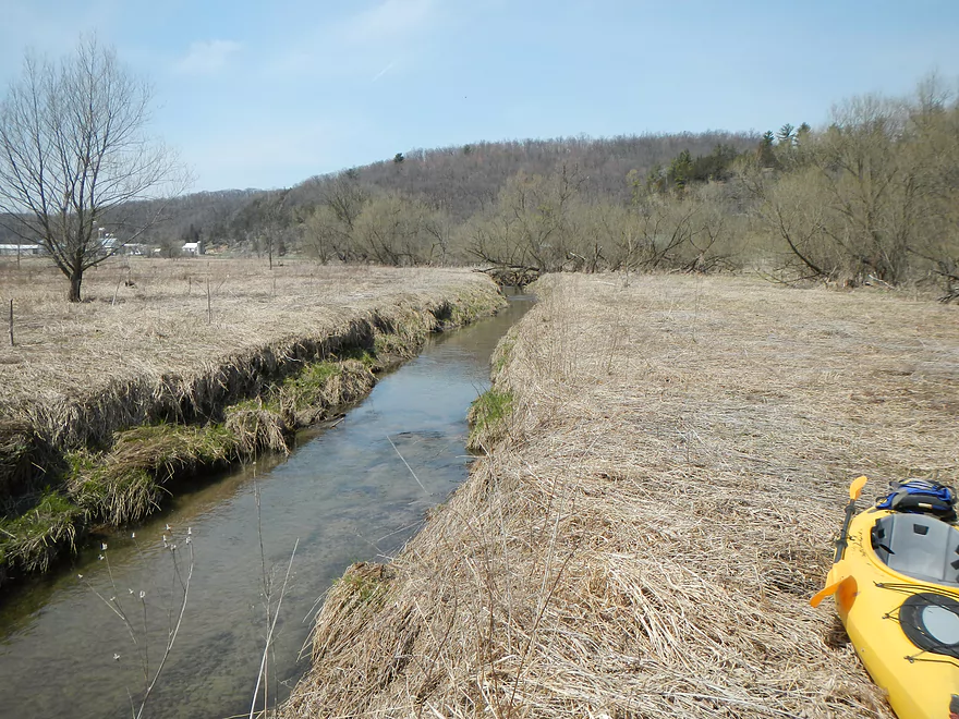
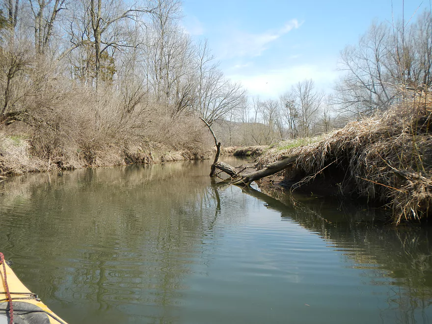
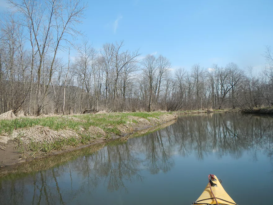
At this point, the trip was about half-way complete, and I’ve marked this on the below map. From here on out, it was pleasant paddling. Once I put in the water again, I right away came across a massive tree by itself right by the creek and a giant eagle nest…with a white head intently following my every movement. This is a well known nest that has attracted a lot of attention from the locals and was the highlight of the trip. The creek actually forms a c-shape around the tree so you get a nice panoramic view of the nest and its occupant from water that you can’t get otherwise. At this point, the effect of the dam kicks in and the creek swells, slows down, gets a little dirtier…but is generally free of navigation issues. With one exception…there was a tricky log situation that I was able to traverse with a y-maneuver (picture in the gallery) which would necessitate a portage for longer boats. At the site of a large patch of skunk cabbage, the East Branch joins the North Branch of Honey Creek and the volume increases quite a bit.
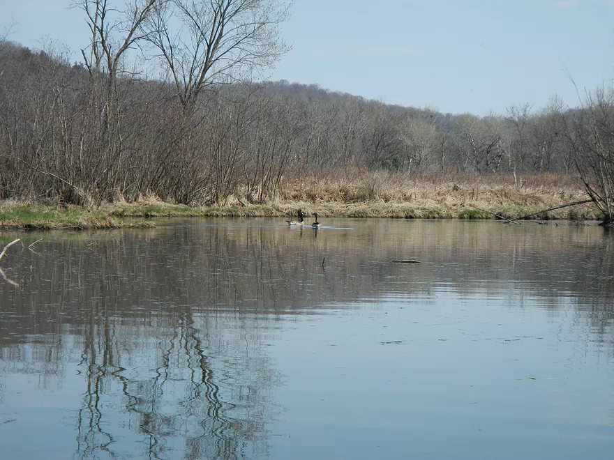
Closer to Leland I saw a number of ducks and probably around 18 geese at once. This area is rich in wildlife…especially waterfowl. I saw what appeared to be mink tracks close to the put-in and saw plenty of beaver chewed logs…and then actually saw a beaver at the take-out.
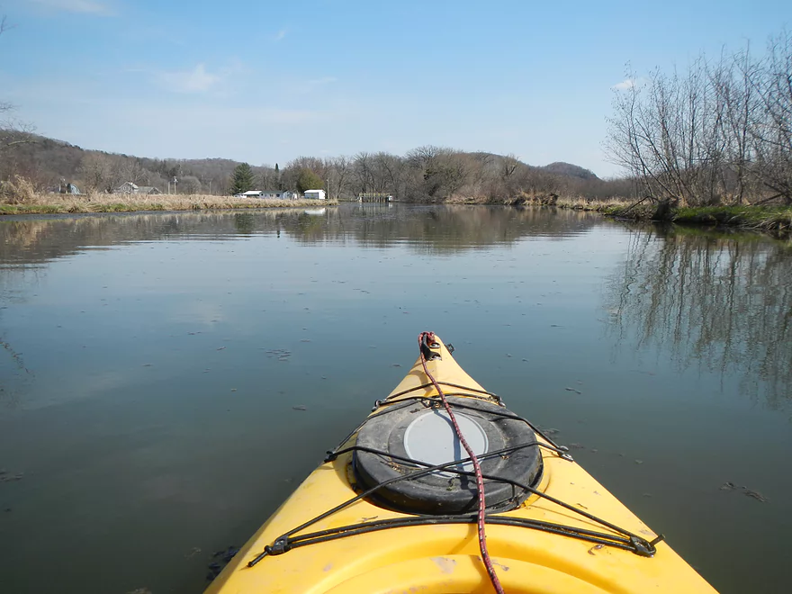
The take-out approaches the very small town of Leland and the Leland dam. There is a public park to the left of the dam with a gravel boat ramp. Parking is free and there are bathrooms which makes this a nice take-out. I’ve tried kayaking below the dam but haven’t gotten very far before I hit a log jam.
My hindsight recommendation is to NOT do the trip as I did (too many log jams) but to start from Leland, paddle up to the eagle nest (roughly the half-way point of my trip) and then paddle back to the landing. This would make a nice trip.
On the subject of Leland… This area became famous because of a white buck that was shot in the area. I’ve created a website for the locals who want to protect the remaining white deer. If you have a chance, check it out and sign the petition.
Detailed Overview
- Hwy PF to Leland Pond Access: 2.2 miles. The first half of the trip has two many logjams, but the second half was open and nice. Locals wanting to explore this can paddle up and back from Leland Pond.
- Leland Pond Access to Hwy C: 3.0 miles. Likely too many logjams.
- Hwy C to Elm Road: 2.6 miles. Too many logjams.
- Elm Road to Witwen: 3.9 miles. Way too many logjams.
- Witwen to Hwy O: 5.4 miles. Maybe 14 logjams. Otherwise it looks nice.
- Hwy O to Hwy 60: 3.4 miles. Maybe 17 logjams.
- Hwy 60 to Ferry Bluff: 2.0 miles. Countless logjams.
Note, the south branch of Honey Creek (spanning from Plain to Witwen) is much less logjam prone and may be a viable paddle during high water.
Trip Map
View Honey Creek - Upper in a larger map
Overview Map
Video
Photos Size: