
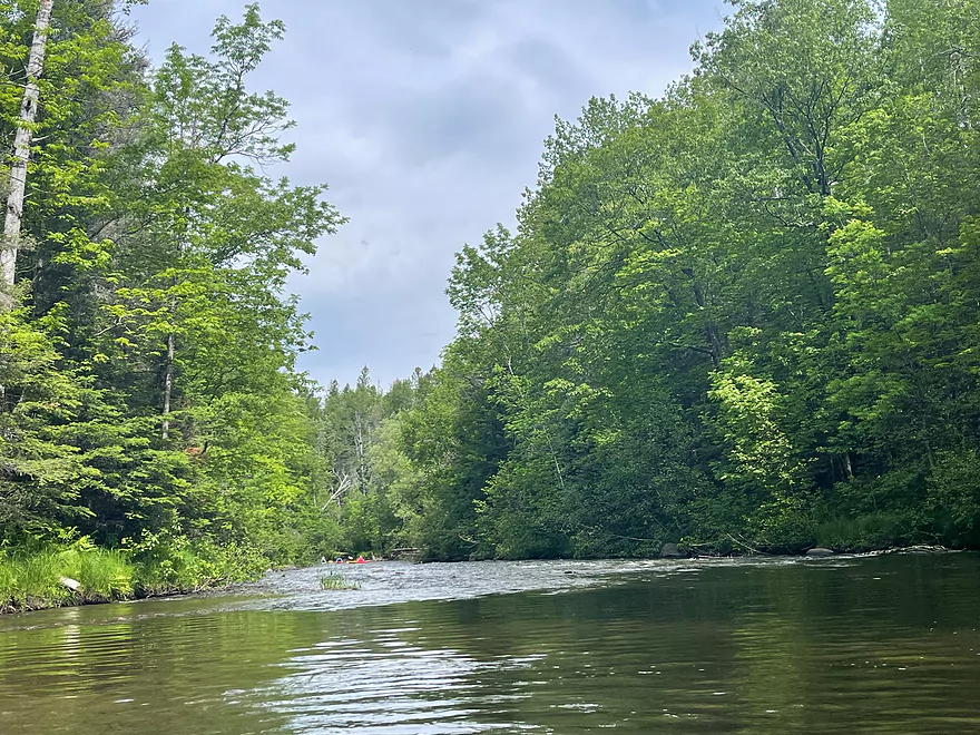
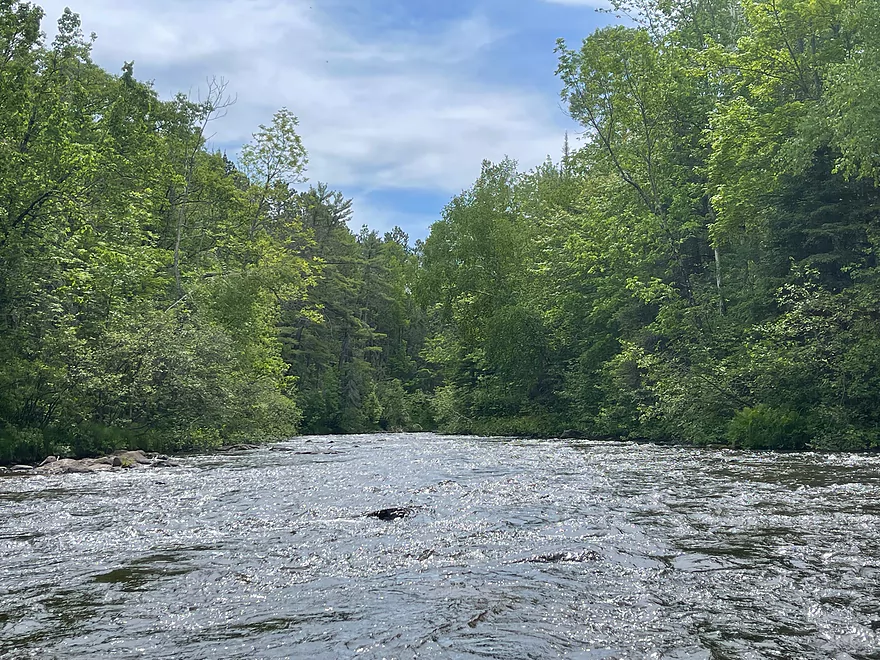
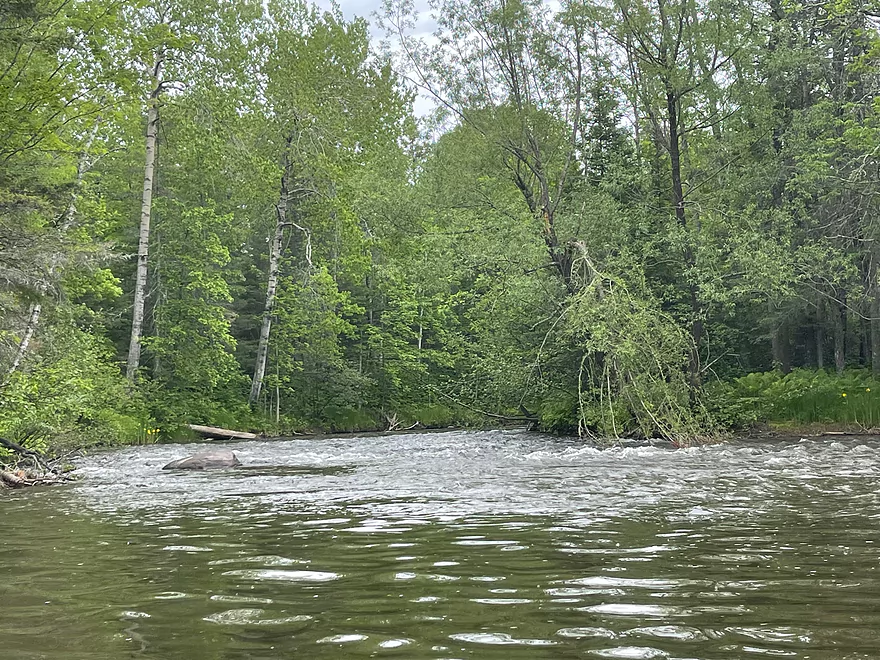
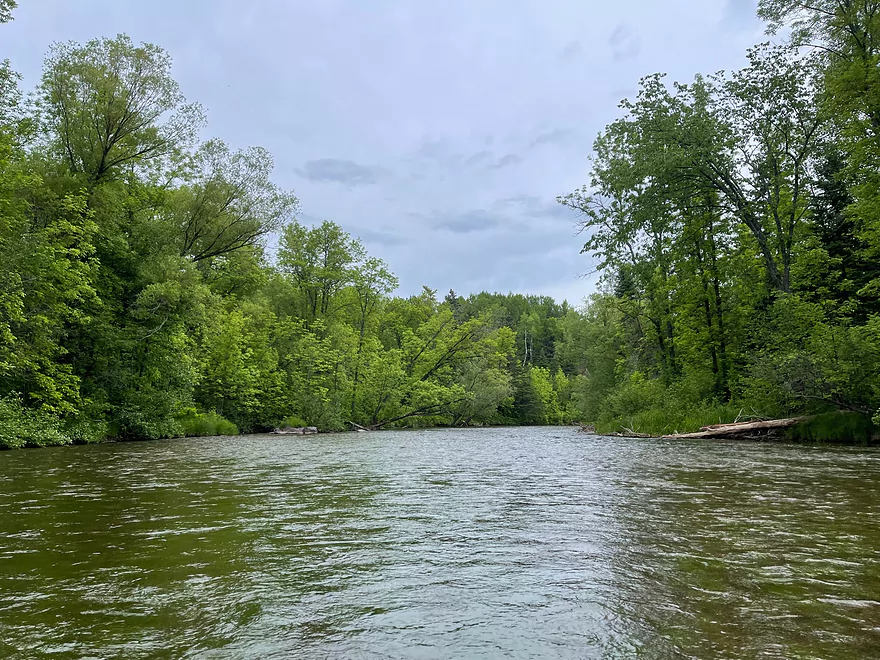
Shortly after put in at Pine Tree
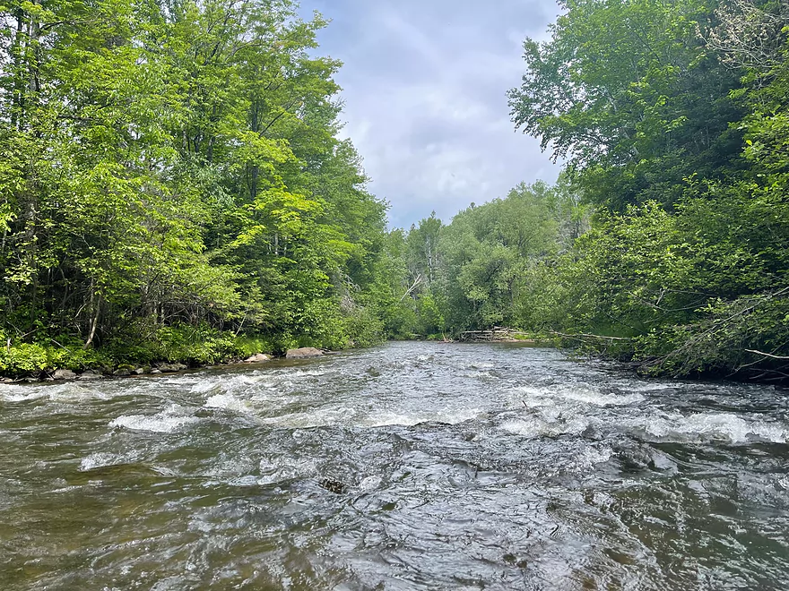
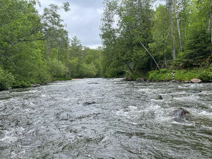
Rapids pick up in intensity quickly
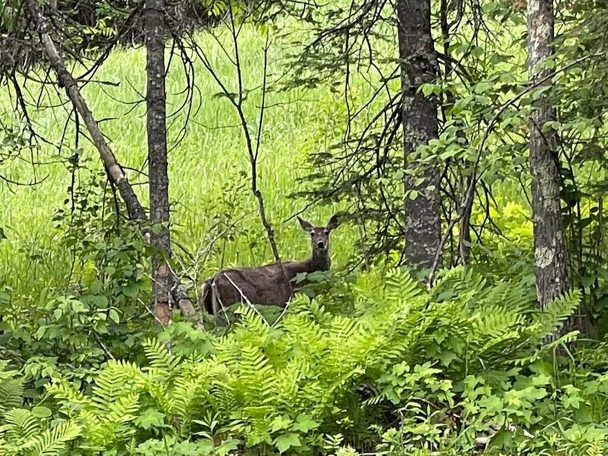
A deer looks on
The first of Mays Ledges
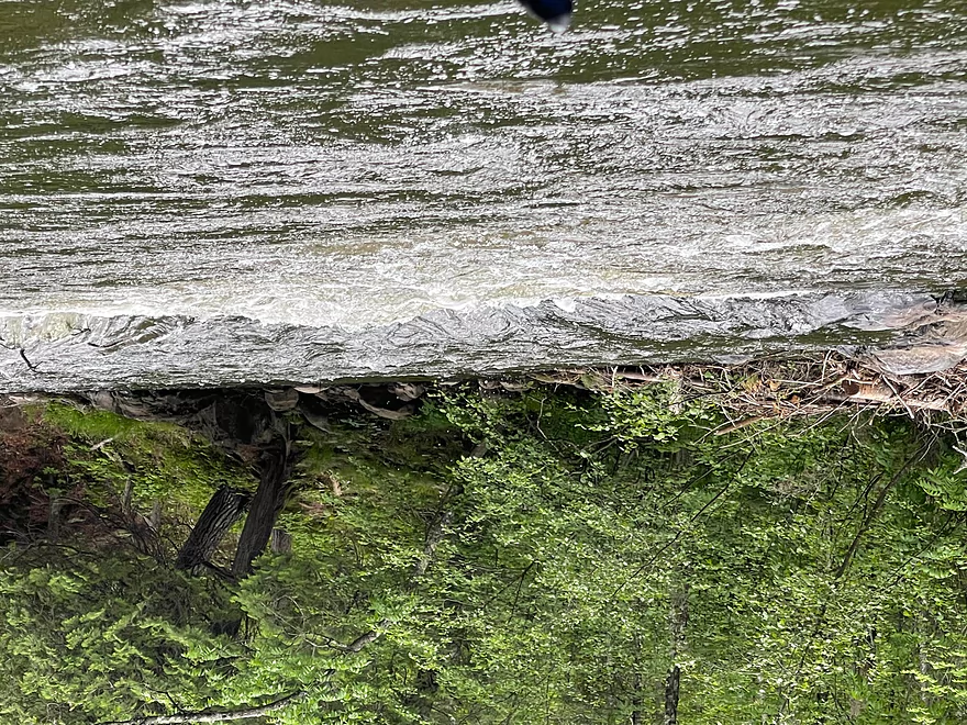
Another ledge

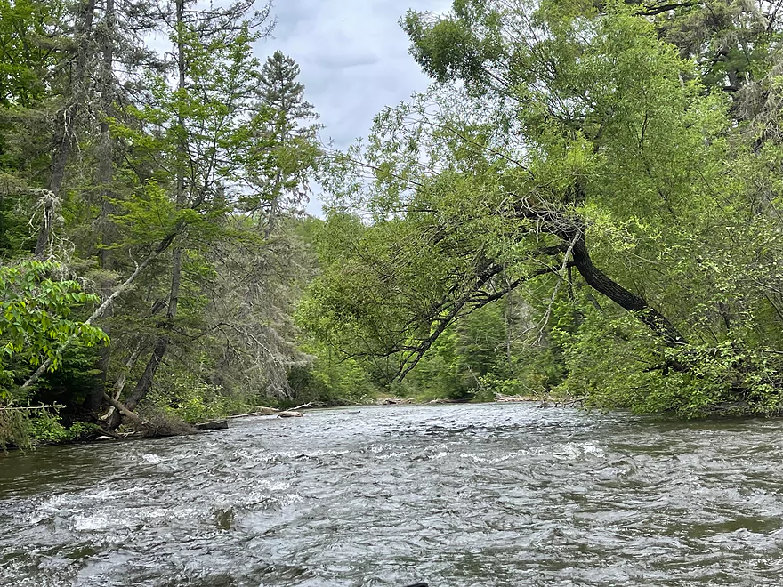
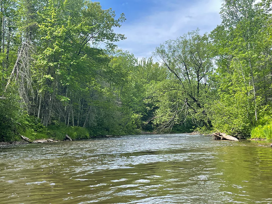
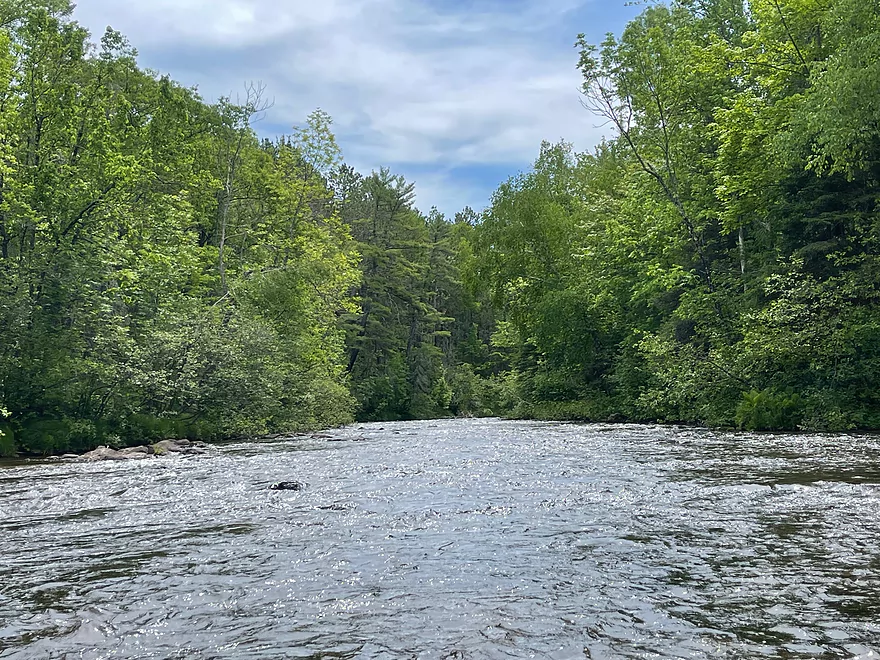
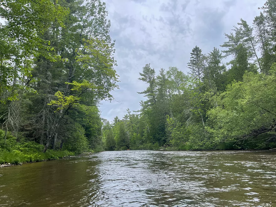
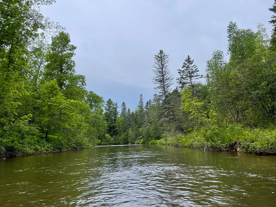
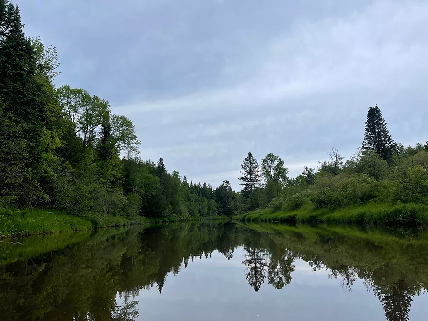
The river is still moving rapidly but the rapids aren’t as intense.
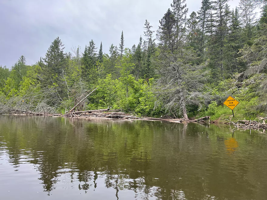
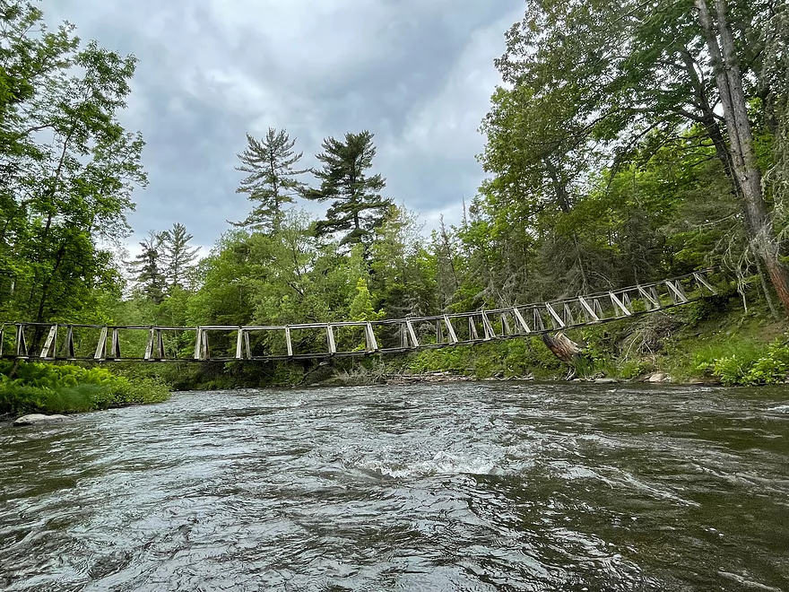
Sign warning that for the upcoming Dam
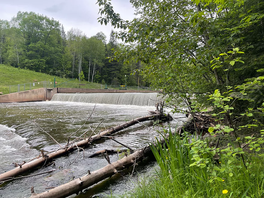
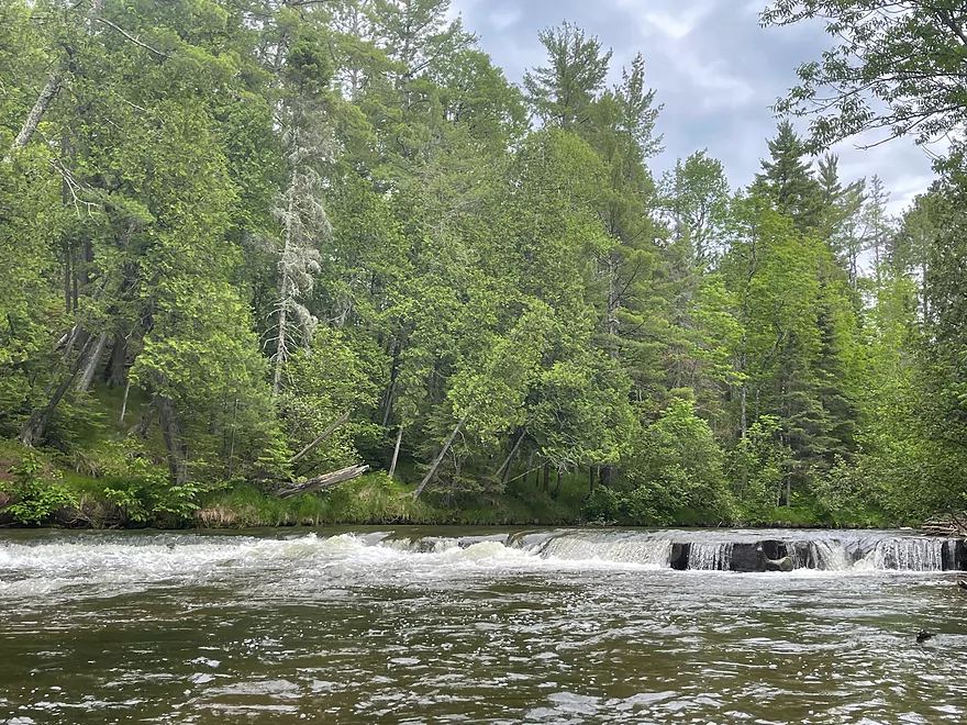
The Dam
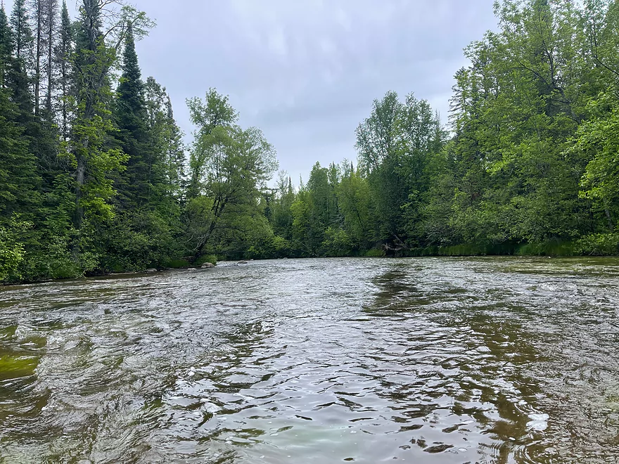
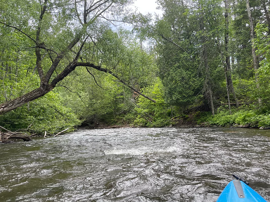
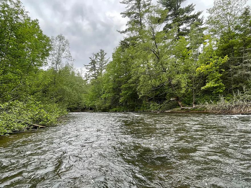
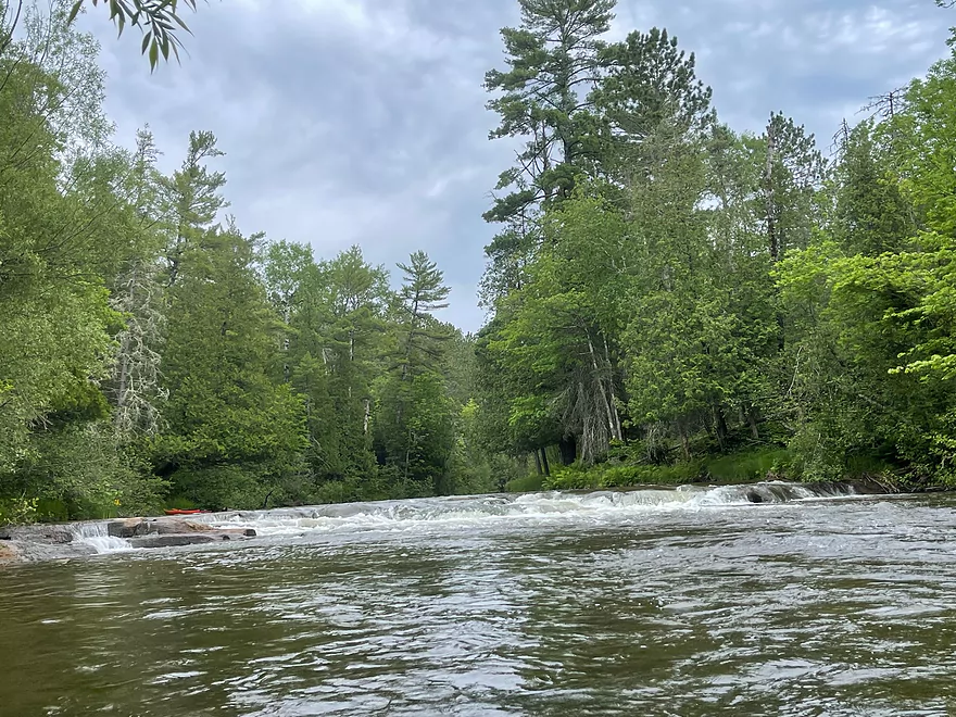
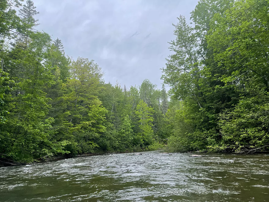
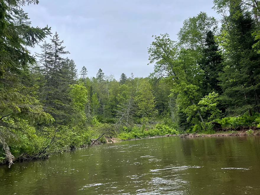
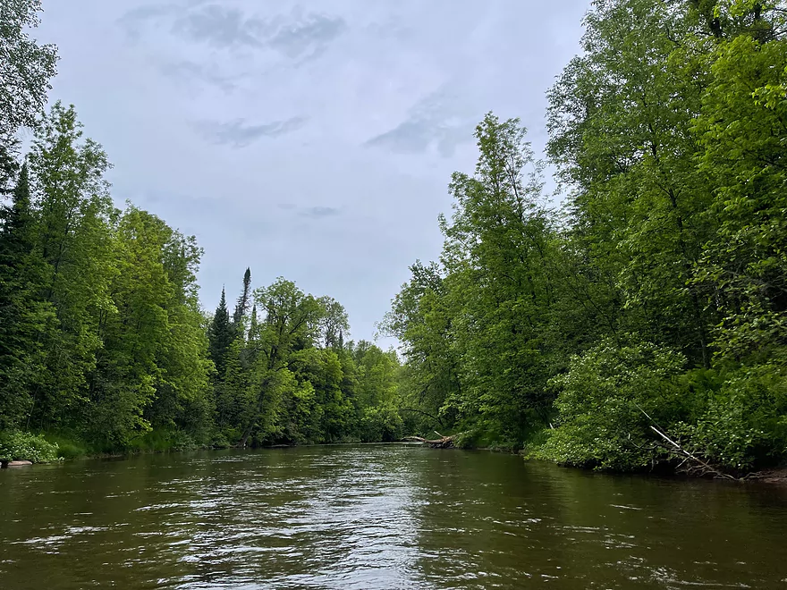
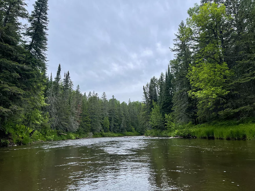
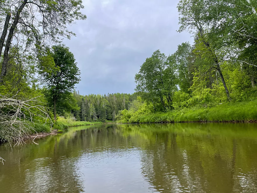
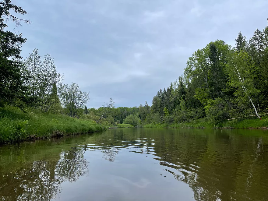
The river continues to move quickly
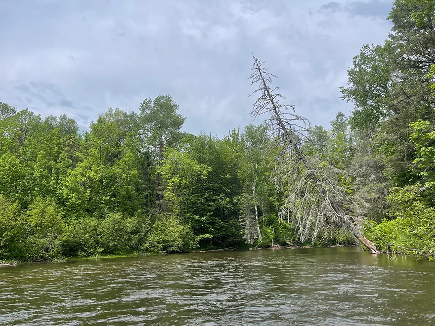
The river calms as it gets closer to Lake Superior
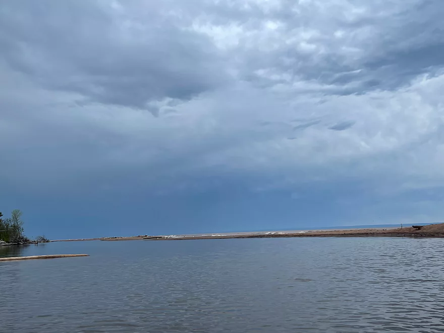
The end of the Brule at Lake Superior
Bois Brule River – Pine Tree Landing to Lake Superior

The Bois Brule is the most spectacular river to paddle in the entire state and the north end moves very fast. The rapids are very intense with Mays Ledges as most challenging. Make sure to only run if you have experience with more advanced rapids and make sure you have a spray skirt. Water will splash up from the impact after the drop offs from the ledges.
After Mays Ledges, the water continues to move rapidly but the rapids are not as intense. There is a landing at Hwy 13 where kayakers can put in if they do not want to run Mays Ledges.
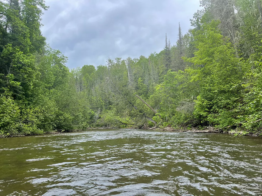
The river continues through Class I rapids and flows through the Boreal Forest for a picturesque Nothwoods setting. There is a dam that has to be portaged and the take-out is very well marked.
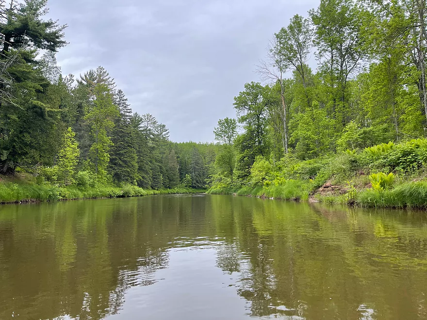
After the dam, the river continues the downward trend through the woods and continues to flow fast until about a mile from Lake Superior where the water is suddenly calm. After hearing rushing water for nearly the entire trip, it is very silent. But the peacefulness does not last long as the waves of Lake Superior can soon be heard. The forest suddenly disappears and the lake can be seen with a beach to take out just before the river flows into the lake.
This section of the Bois Brule can be paddled as a day trip and is perfect for a thrill seeker. If you would rather not paddle the intense rapids and want a shorter trip with incredible scenery, Hwy 13 to Lake Superior is the perfect trip. If you enjoyed the more popular Upper Brule, I guarantee that you’ll enjoy the Lower Brule just as much!
Thanks again Peter for another great review! WisconsinRiverTrips.com is always very appreciative of guest reviews, and if you the reader is ever interested in submitting one, you can use this online form.
- Hwy P to Stone’s Bridge Landing: 9 miles. There is a small launch area off Hwy P. This section is a narrow creek running through a marsh and you may need extremely high water to get through.
- Stone’s Bridge Landing to Winneboujou Landing: 9.3 miles. The most popular section on the entire river. Very scenic with several Class 1 and Class 2 rapids.
- Winneboujou to River Road Landing: 2.8 miles. A good prospect with one set of Class 2 rapids.
- River Road Landing to Hwy 2 Landing: 1.7 miles. A pleasant section with one set of Class 1 rapids.
- Hwy 2 to Pine Tree Landing: 9.2 miles. More open and slower, this is one of the least popular sections of the river.
- Pine Tree Landing to Mouth on Lake Superior: 18.2 miles.
- Pine Tree to Hwy FF Landing: 2.9 miles. A faster section with more Class 1 Rapids. There is one set of strong Class 2 rapids prior to Hwy FF.
- Hwy FF to Hwy 13/Town Park Road Landing: 6.1 miles. Rapids increase in strength. Some strong Class 2’s and a 3 foot ledge.
- Hwy 13 to Brule Dam/Loveland Road: 2.3 miles. Mostly minor rapids.
- Brule Dam to Mouth: 6.7 miles. A good flatwater section with the highlight being Lake Superior itself at the end. Take-out is east of the beach.
For additional details on the Lower Bois Brule rapids, see WisconsinTrailGuide.com.
Trip Map
Overview Map
Photos Size:
We did a slightly shorter version of this trip, from Hwy 13 to the lake, on 8/10/22. I was planning on doing a bike shuttle, as I do on most of my paddles, but there happened to be someone parked right next to me who was pulling out just as I was getting my bike off the car. I asked, and he agreed, to take me back to the Hwy 13 Landing While doable, the bike shuttle would have involved about 5 miles on a dusty gravel road, most of it uphill.(Thanks Justin!!!, the Social Worker form Superior) This trip is about 8.5 miles and took us 2.5 hours. This is just a fantastic trip, varied scenery, nice current, many fun riffles, and ending at a beautiful beach on Lake Superior, what more could you ask for? Be sure to plan time to enjoy the beach at the end of the trip,even better would be to plan to watch the sun setting over the lake. The beach is good for swimming, rock collecting, and just relaxing, there are tables, bathrooms, water, and ample parking. Link to a video/pics/map of our trip https://www.relive.cc/view/vPv4eX3wYRO
Great pictures! Thanks again for the update.