
Welcome to the White River
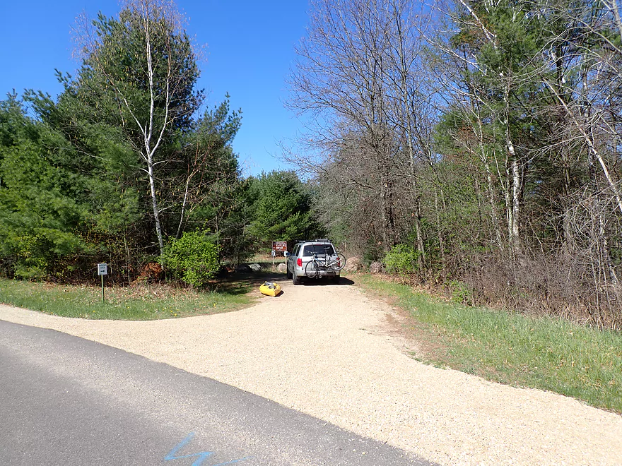
A convenient DNR parking lot at the put-in
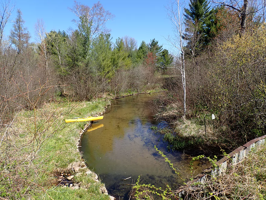
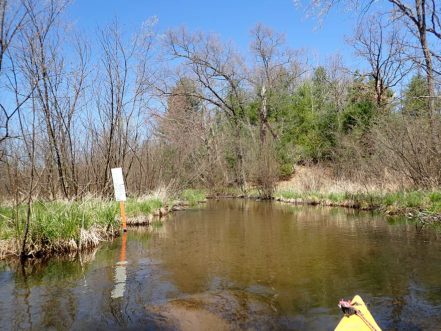
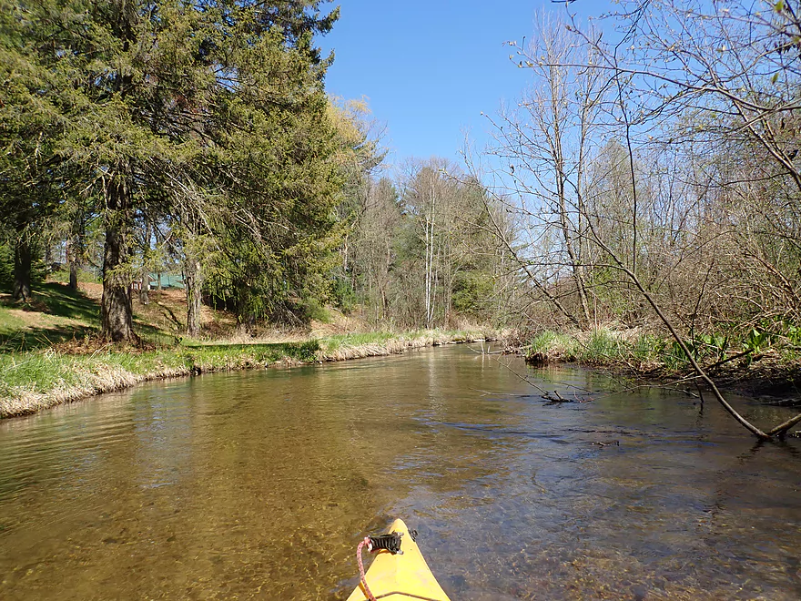
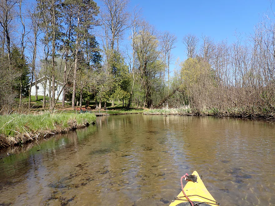
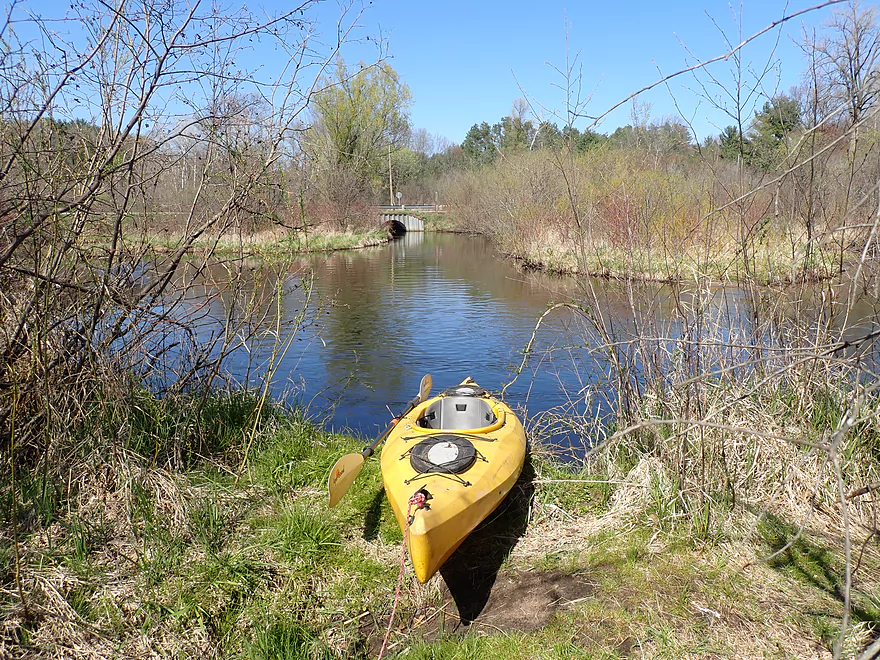
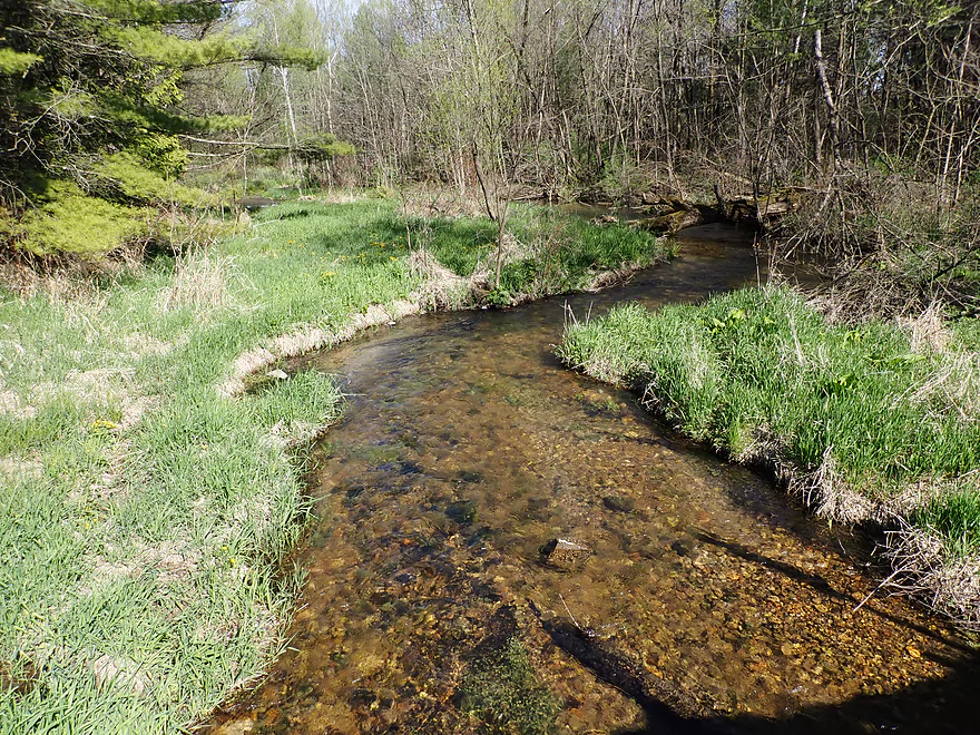
Launching at the Cottonville Ave bridge
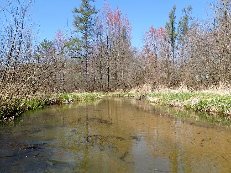
White pines create a picturesque scene
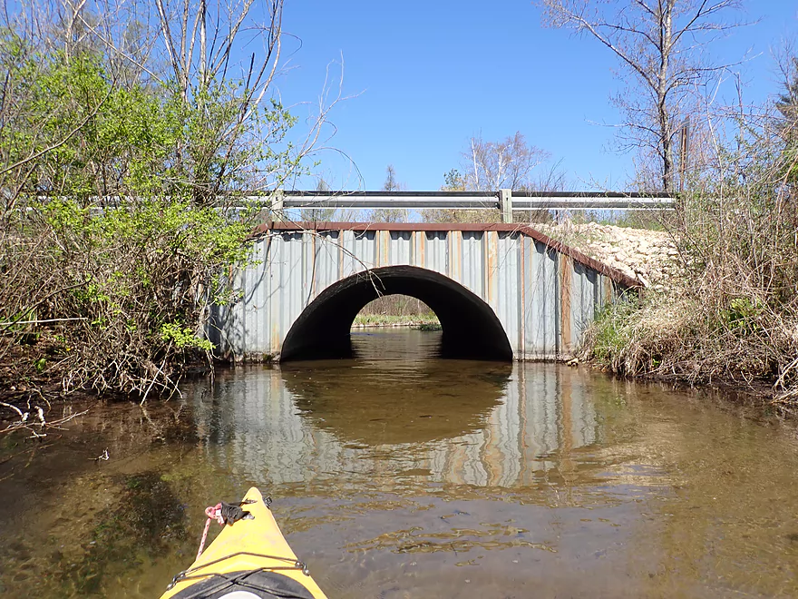
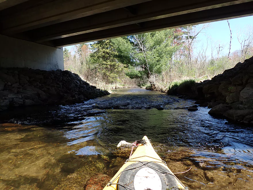
The Cottonville bridge
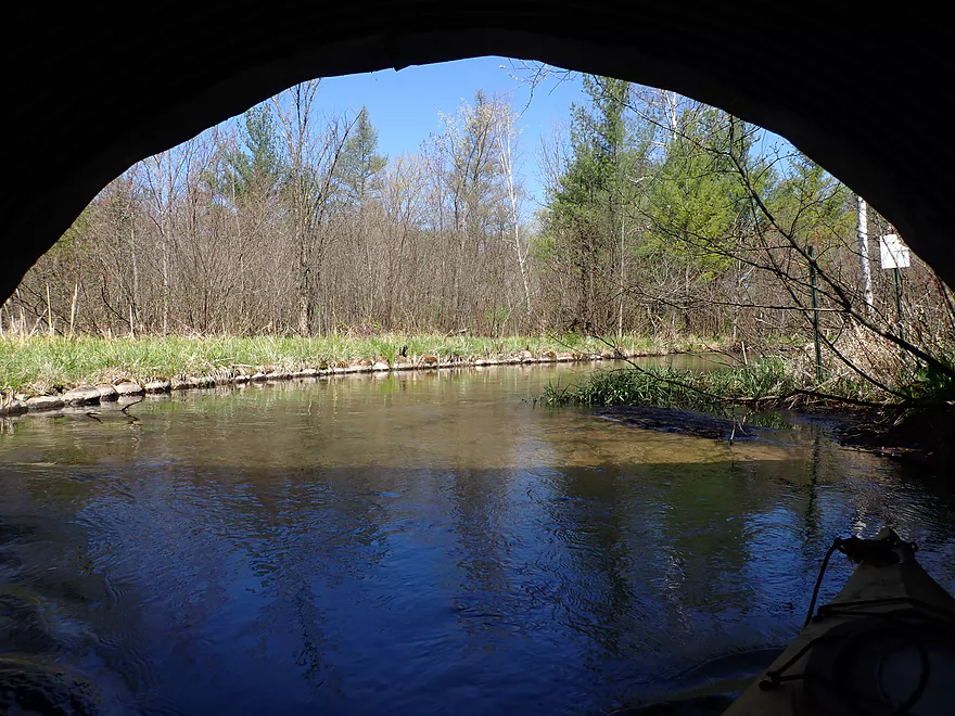
View from under the bridge
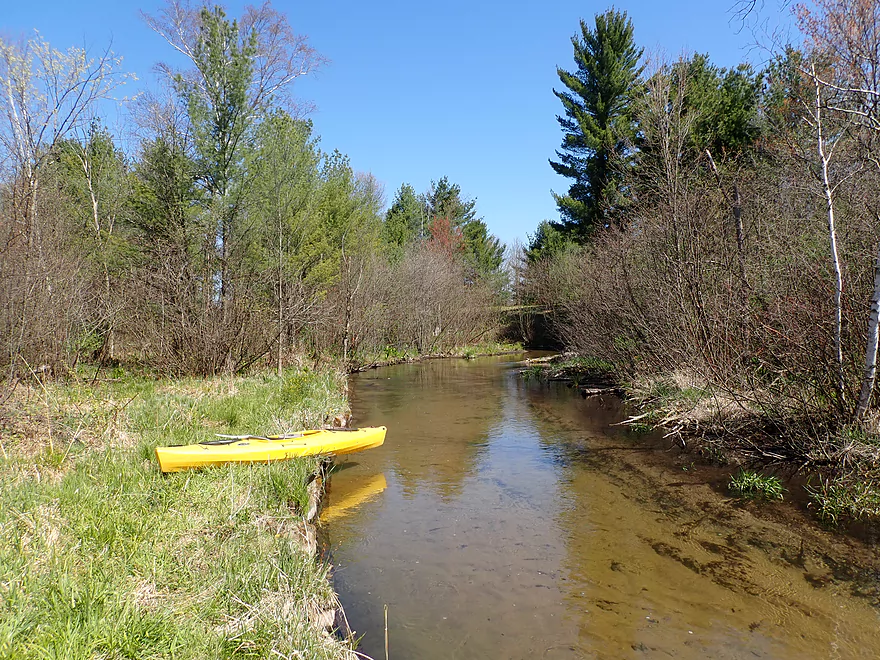
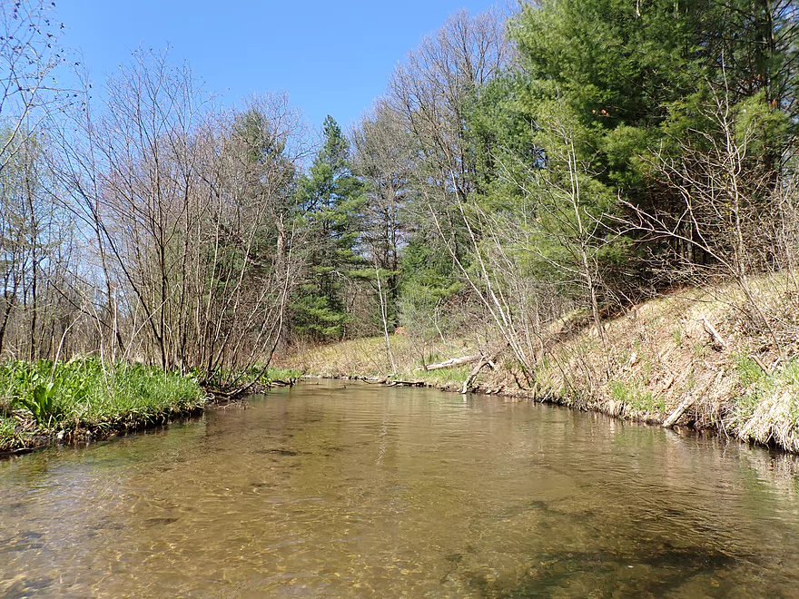
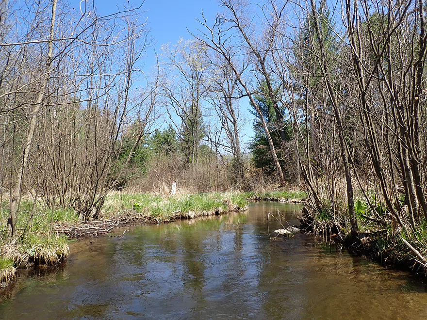
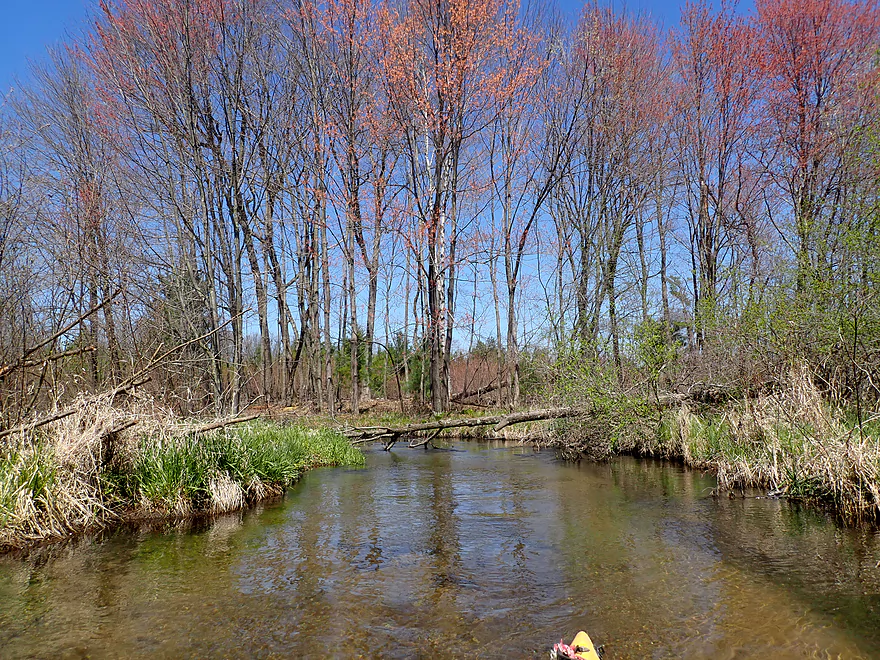
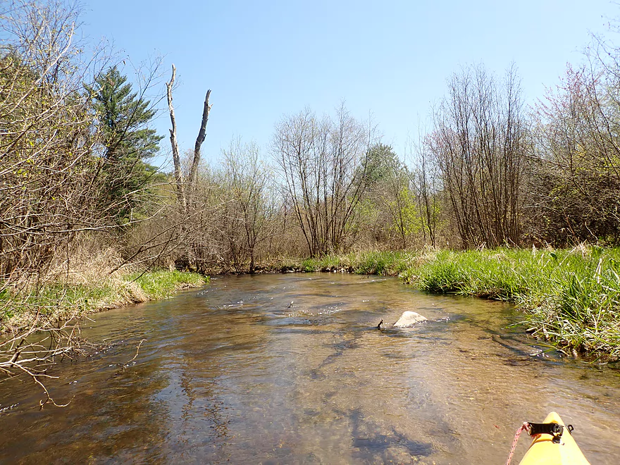
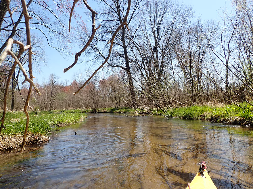
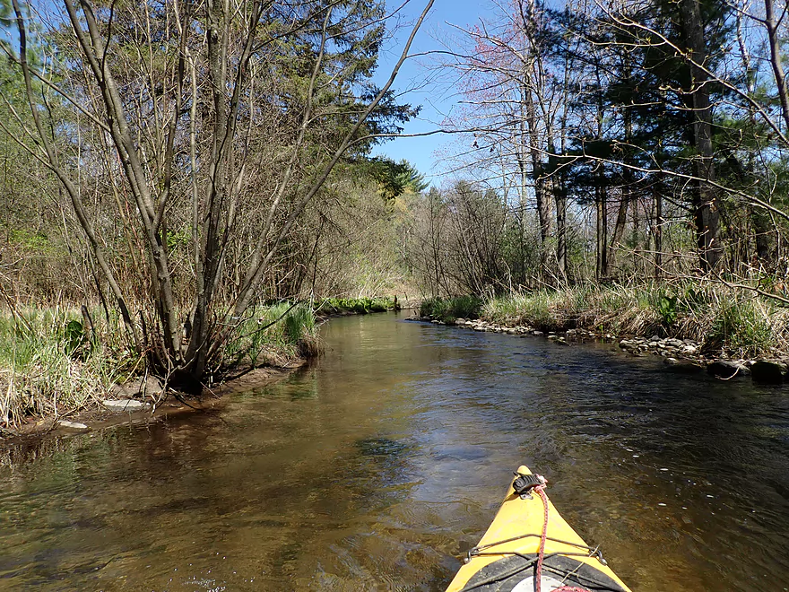
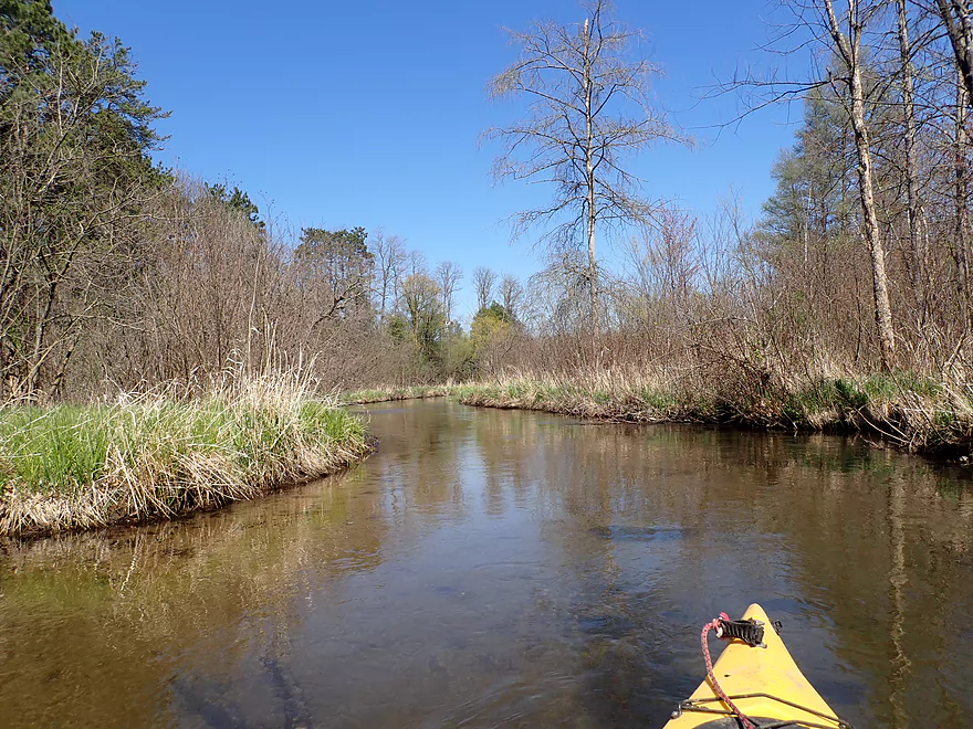
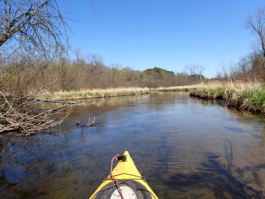
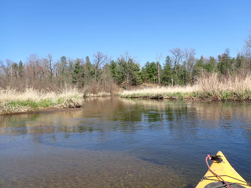
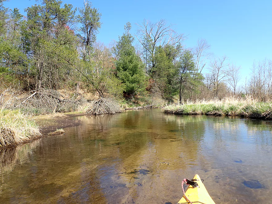
The West Branch is surprisingly sandy
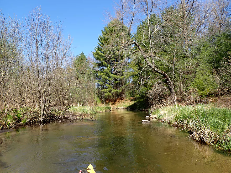
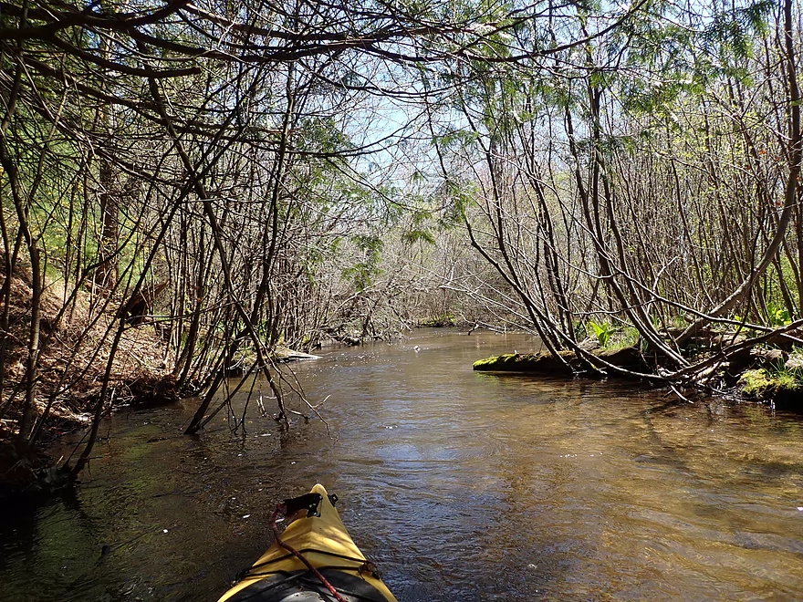
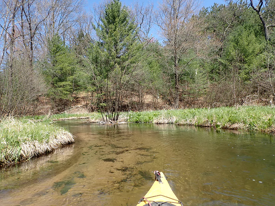
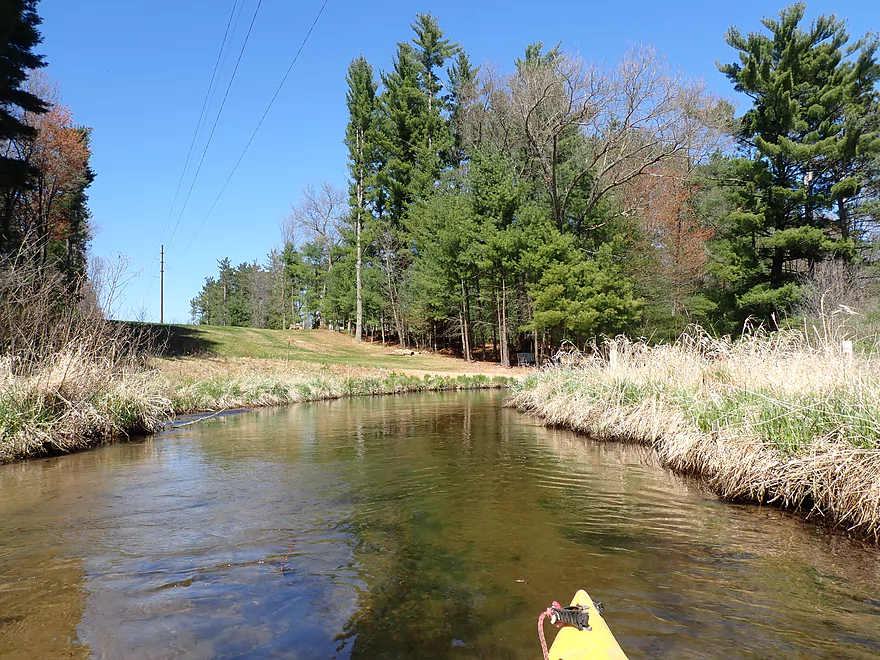
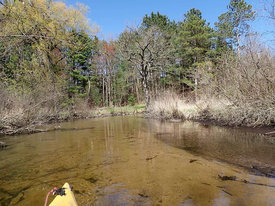
More pine trees
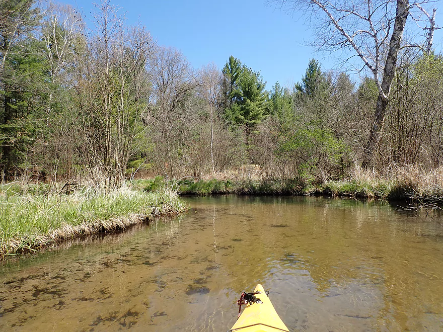
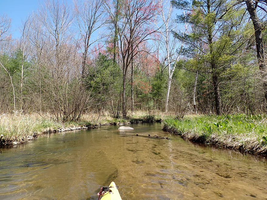
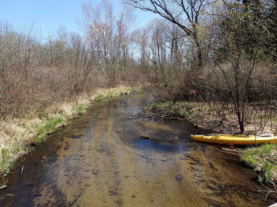
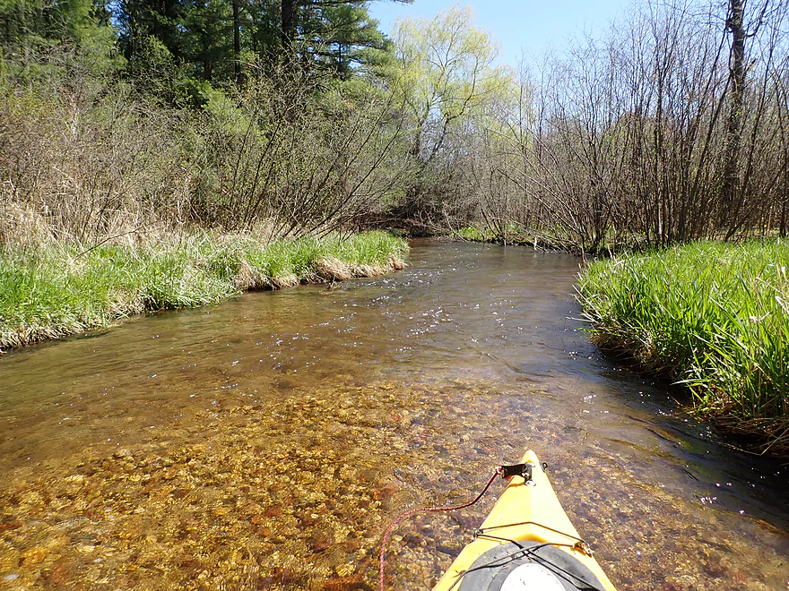
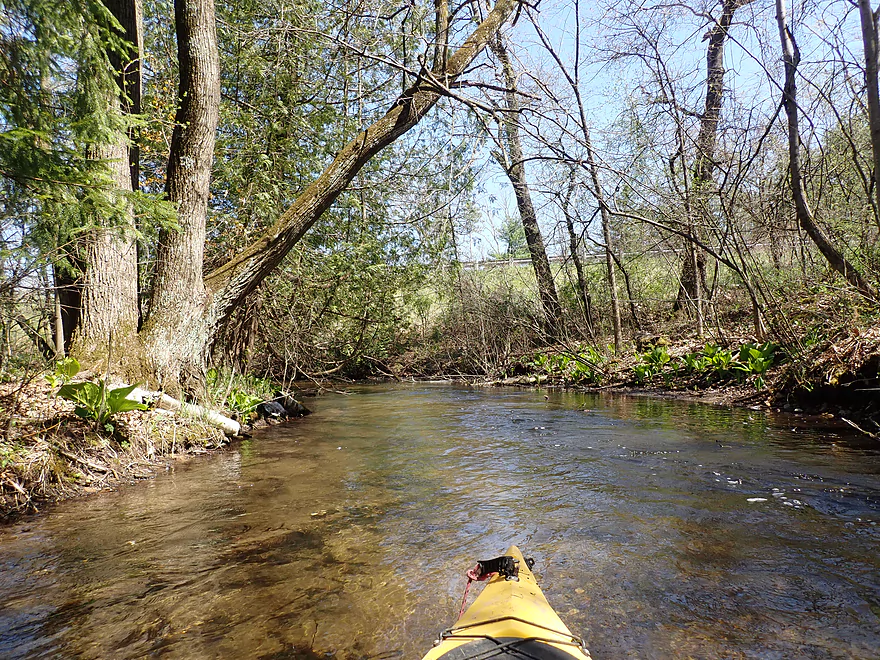
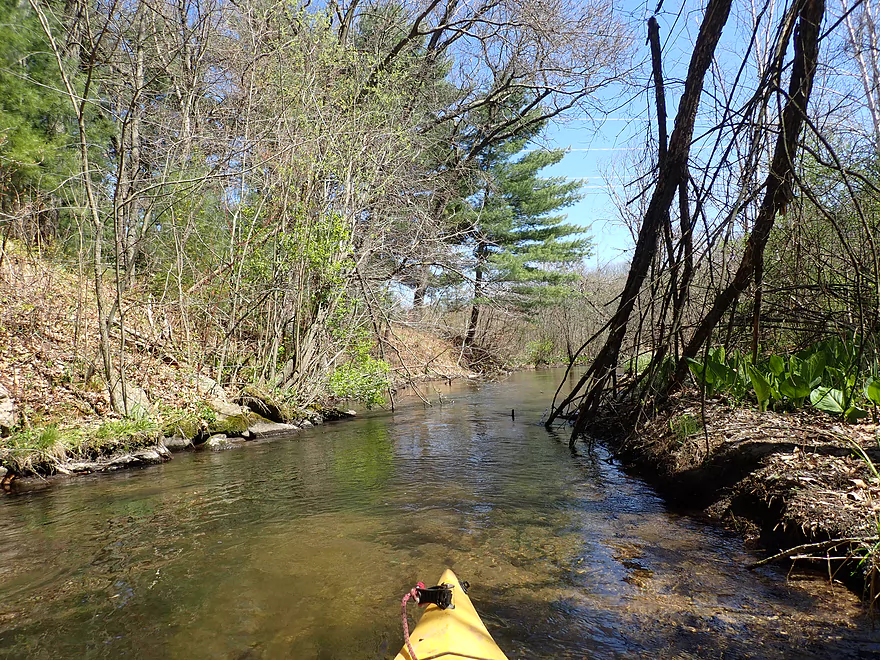
Never super wide or deep, but still pretty navigable
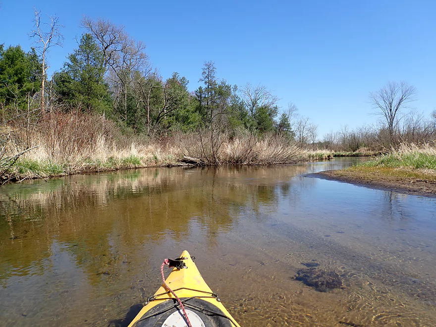
This reminded me of the Mecan River
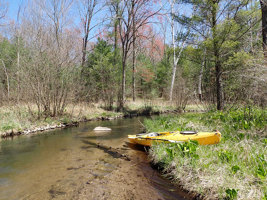
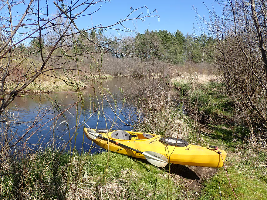
Getting out for pictures
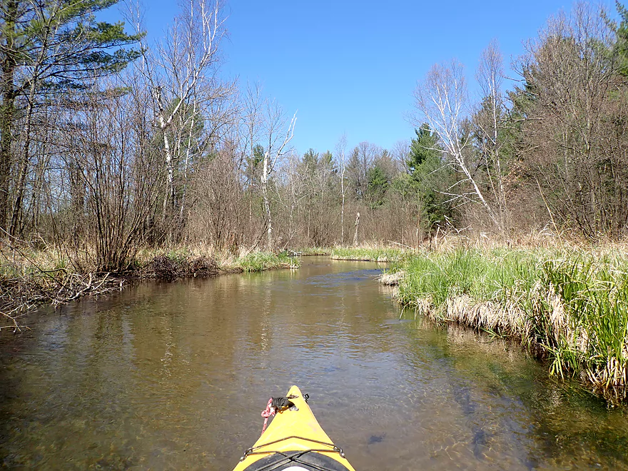
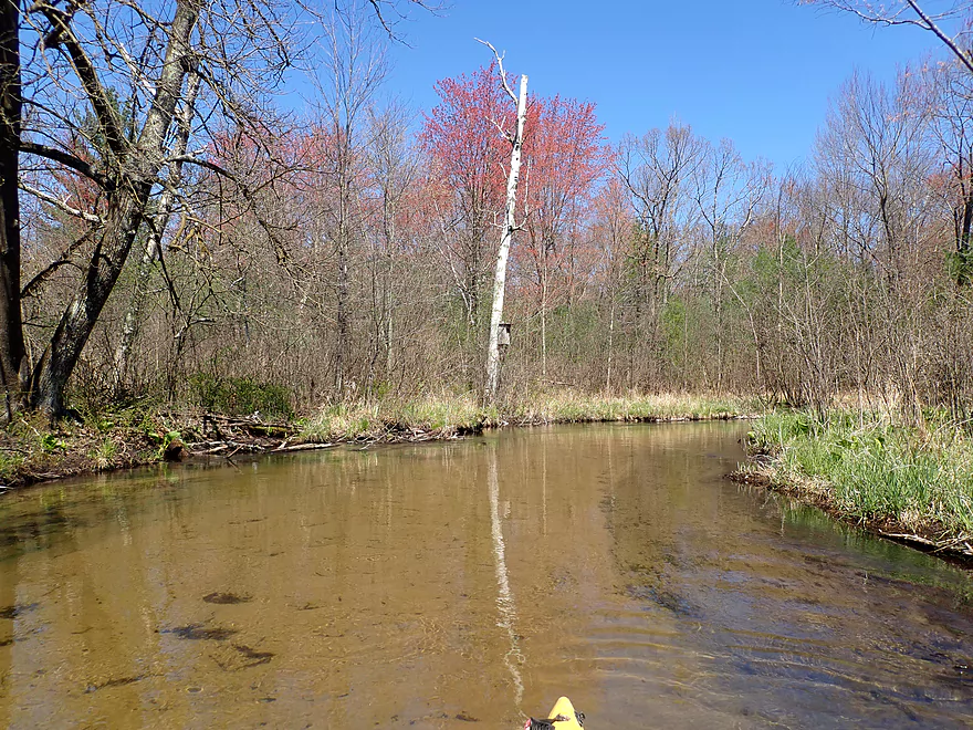
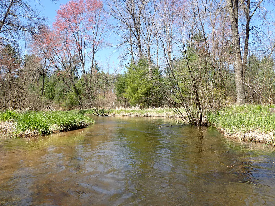
Paper birch and red maples add color to the scene
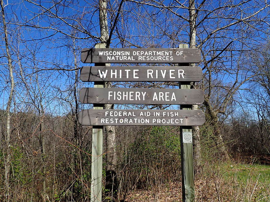
One of several DNR property signs
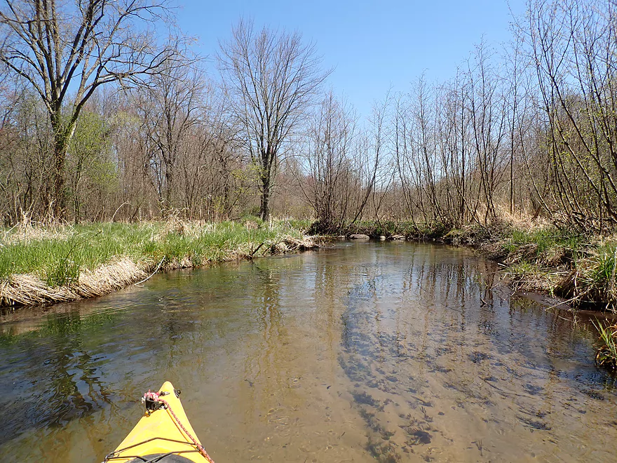
Alders were common along the river
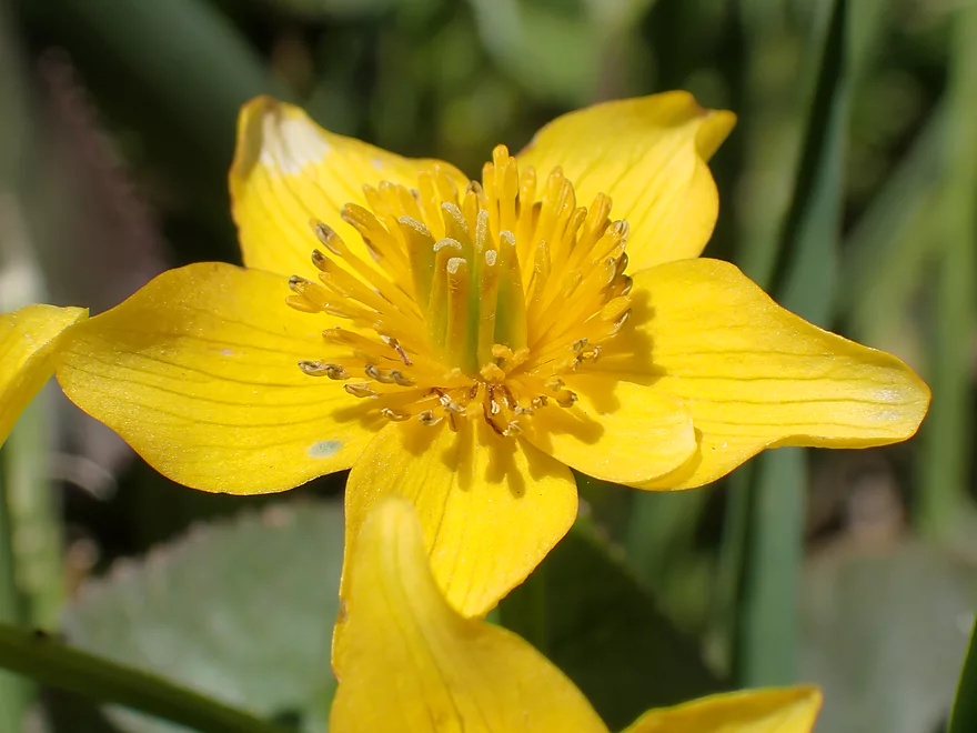
A marsh marigold
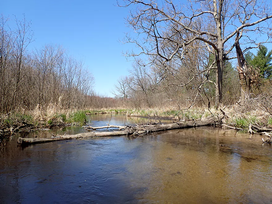
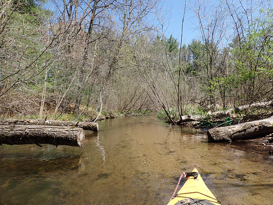
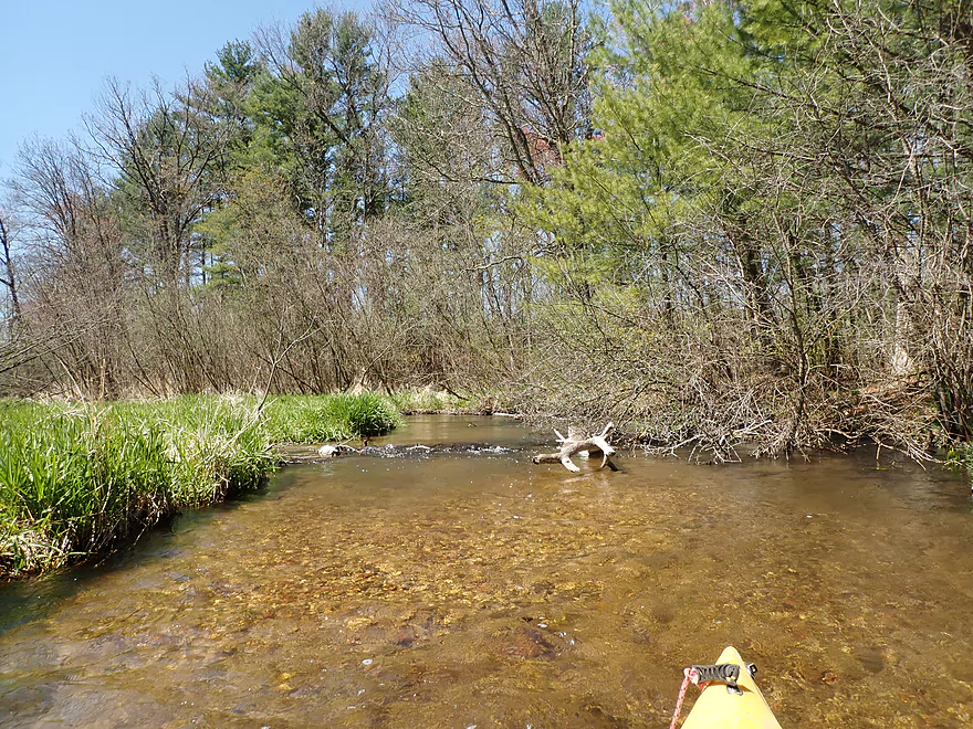
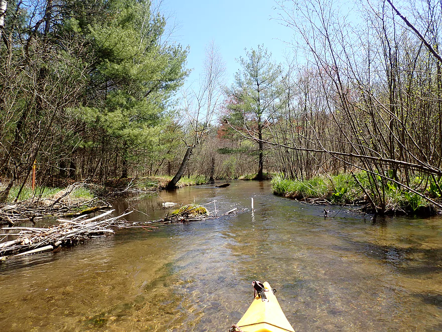
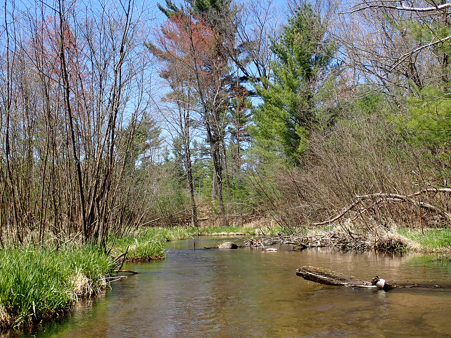
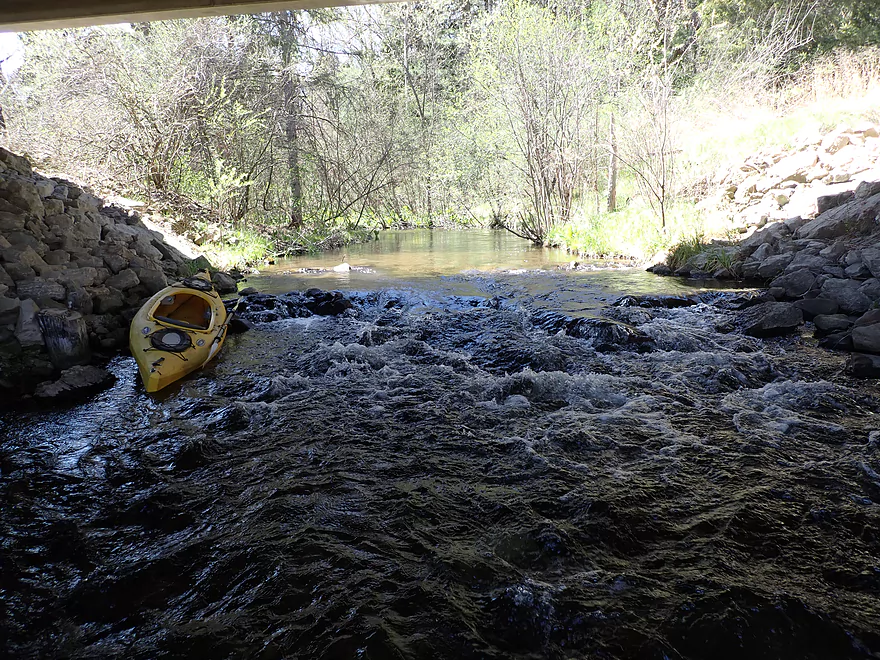
Logjam #1
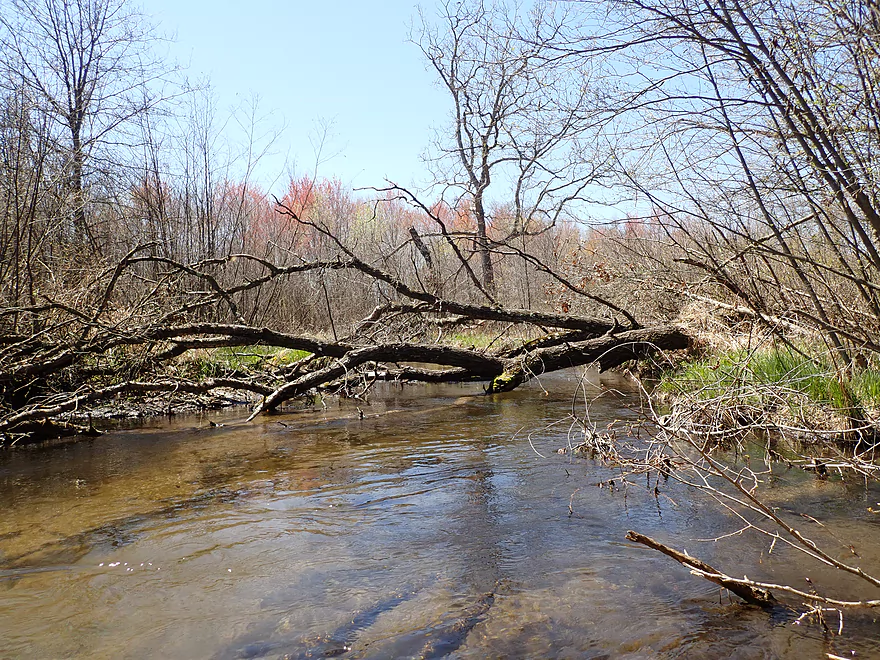
Which is soon followed by logjam #2
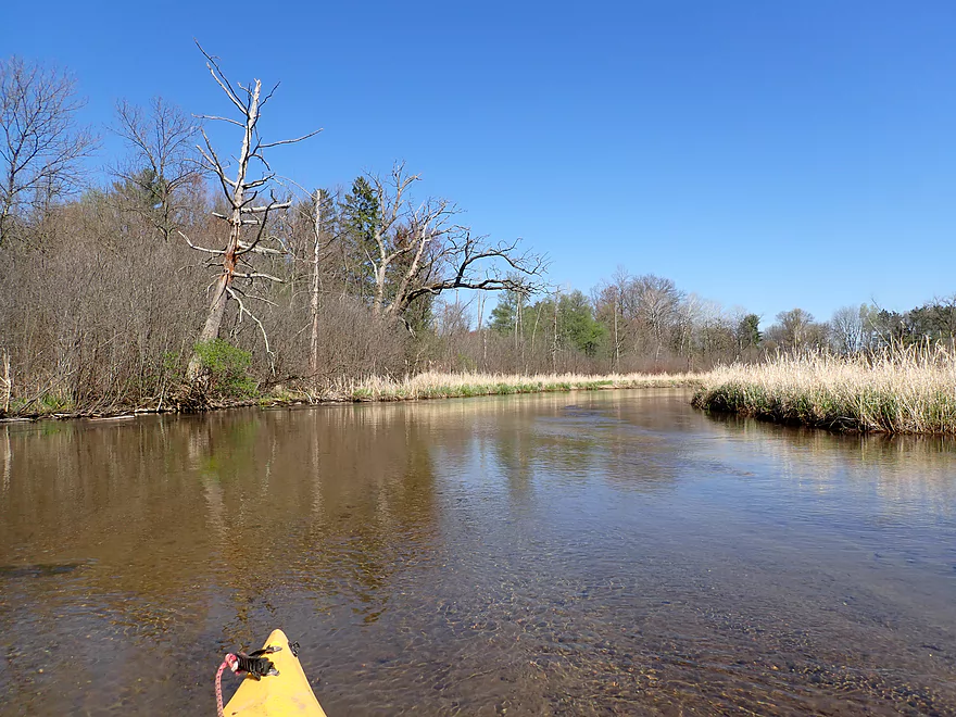
Poor tree
I think these are red maple

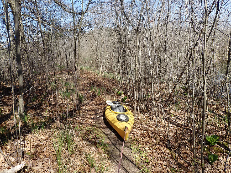
A low walk bridge
Easy portage
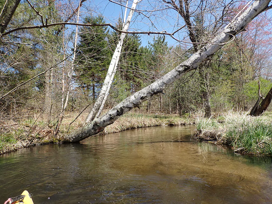
A paper birch
Some cleanup work has been done on the West Branch
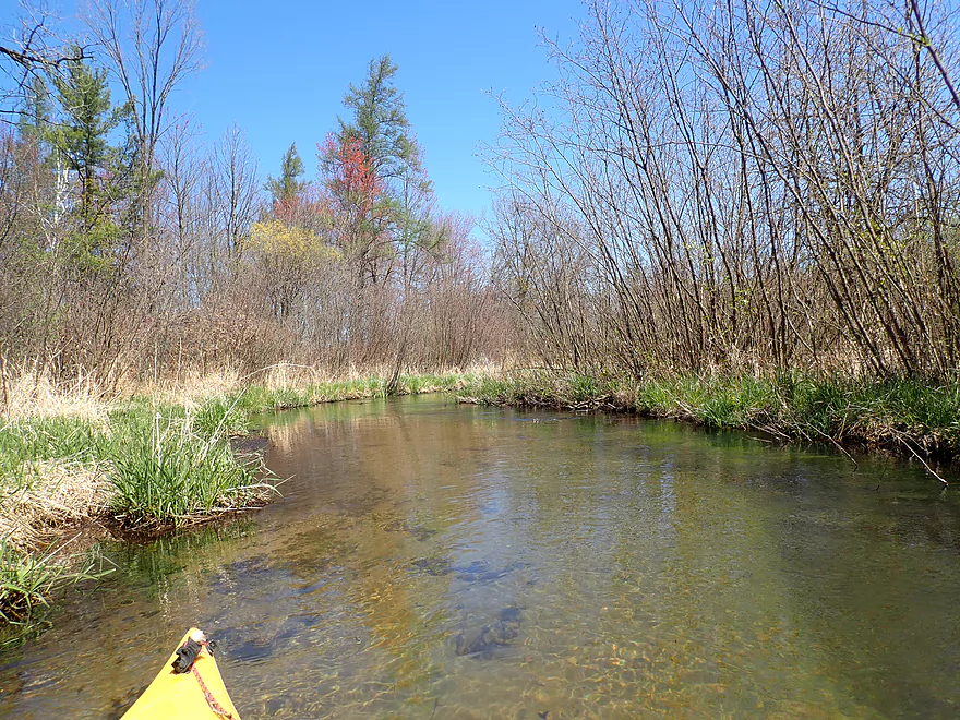
Current starting to pick up
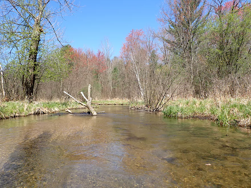
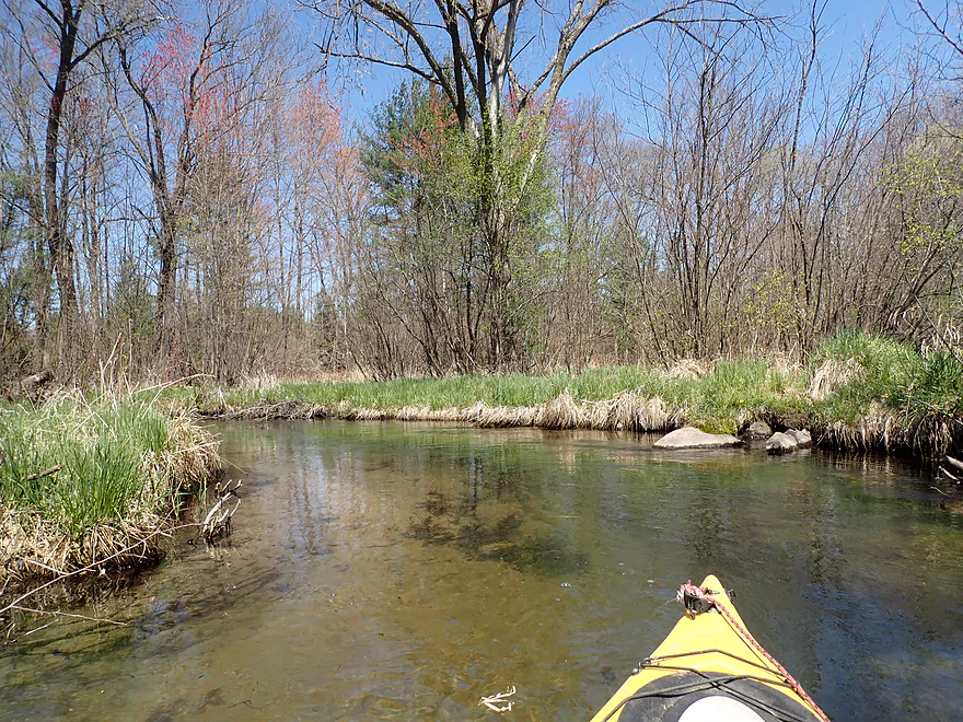
Nice stretch with gravel
Reverse view
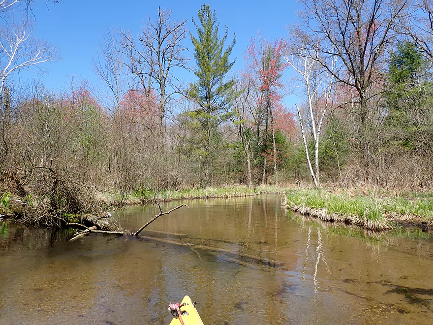
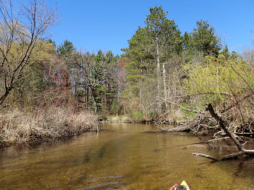
The river was mostly open, but this was a more wooded spot
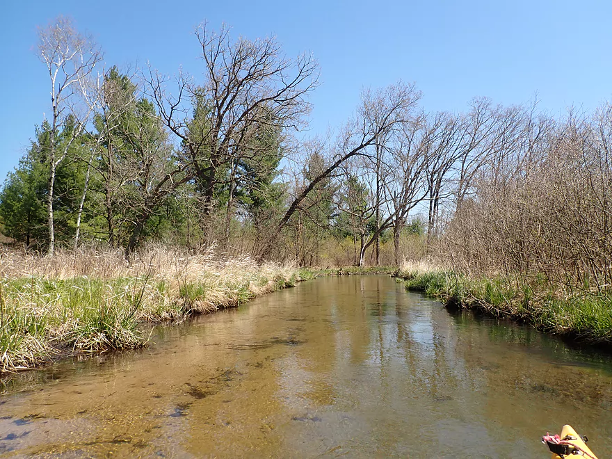
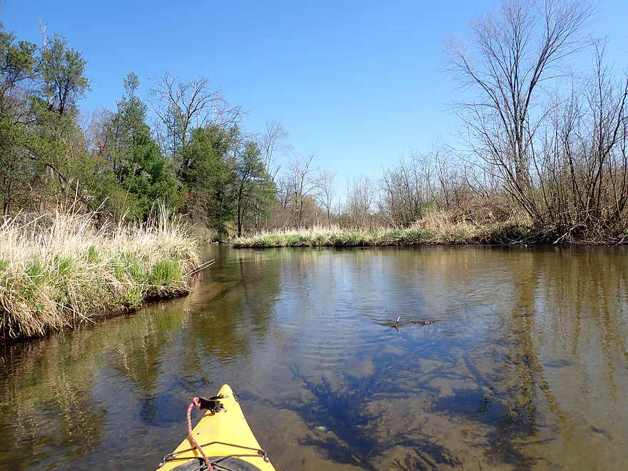
Clarity was fantastic
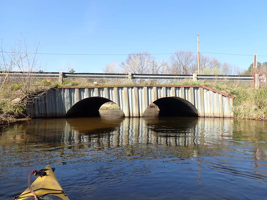
Approaching Hwy 22
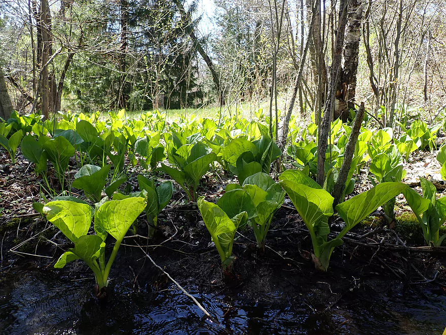
A lot of skunk cabbage along the banks
Rapids under Hwy 22
I would rate these as Class 1+
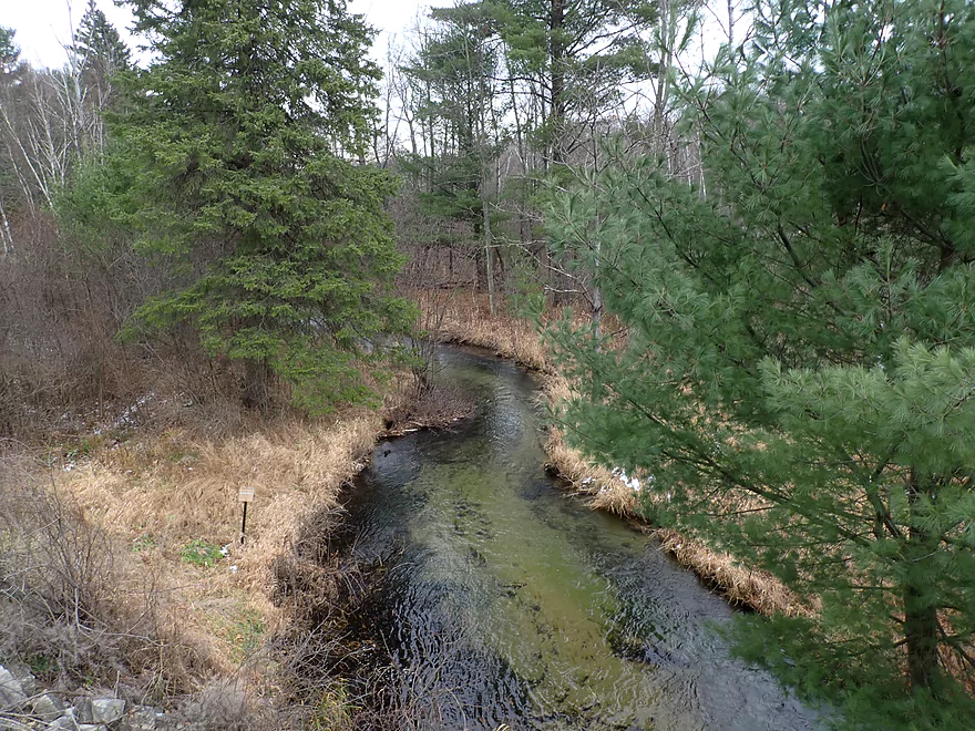
View from bridge
Some bank improvements created by the DNR
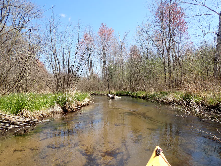
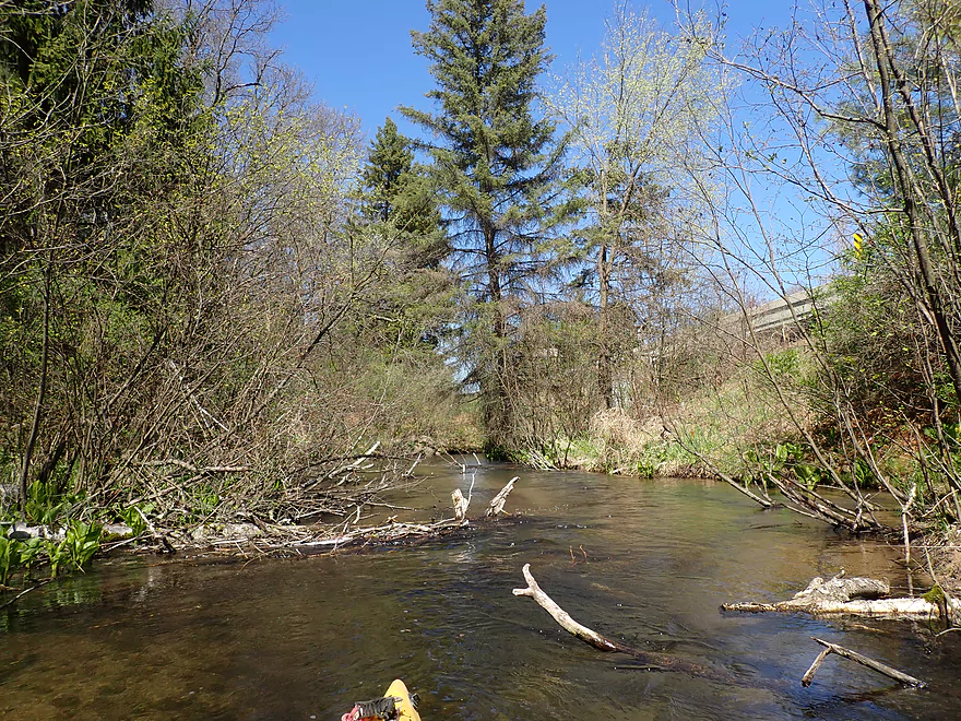
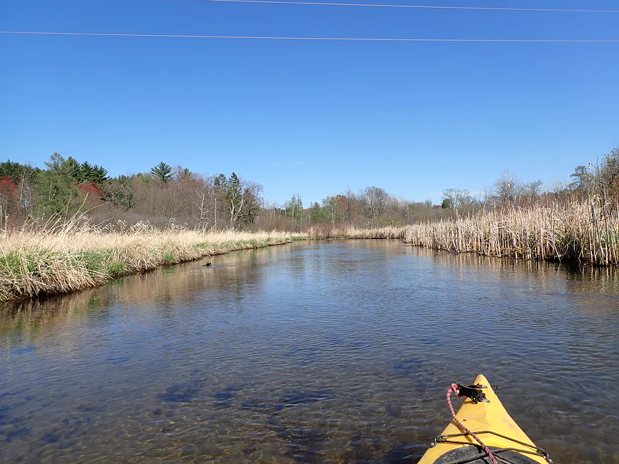
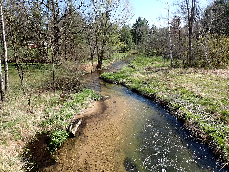
Creek starts to open up again
The West Branch (center) joins the main Branch (left)
Clarity decreased after that but was still good
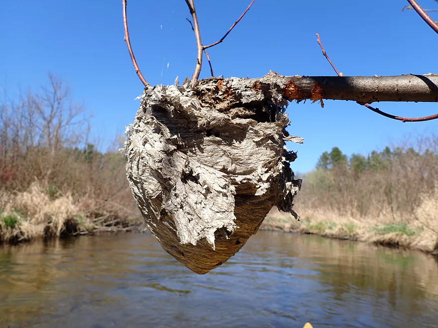
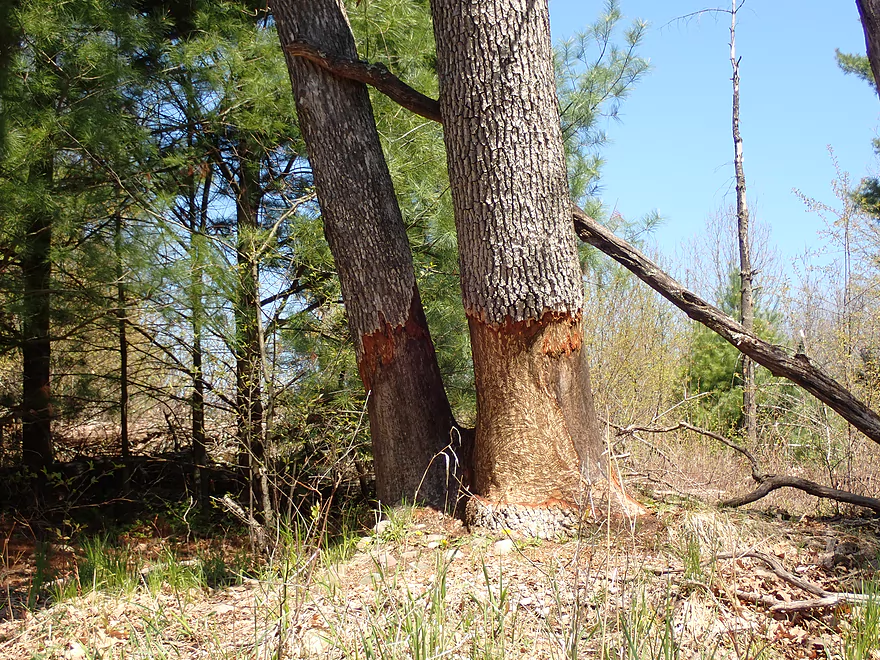
A bald-faced hornet nest
The White River is much wider after its confluence with the West Branch
A brief marsh
Cottonville Lane is an access option
Instead I took out at a downstream fishing access
Water is a bit deep here, otherwise not a bad option
A trail leads to a DNR parking lot
Scouting the West Branch at Hwy 21…looks nice
The river is faster and more rugged by Hwy T
White River – West Branch

The White River is a nice watershed located in Central Wisconsin near Wautoma. I’ve paddled it three times prior and in each case was impressed by its clarity. I recently learned it had a “West Branch” and while not much was known about it, the few pictures I found online looked nice and apparently trout fishermen liked it. Satellite images didn’t indicate too many logjams, so I decided to check it out.
There were multiple stretches of the West Branch I contemplated exploring. My first idea was to launch by the Hwy 21 fishing wayside. From there to Cottonville Ave is actually the most scenic part of the river, but it also has a handful of logjams, so I instead opted to do the safer downstream leg.
The bridge access by Cottonville Ave was very nice, super scenic, and had a handy DNR parking lot where I could leave my car.
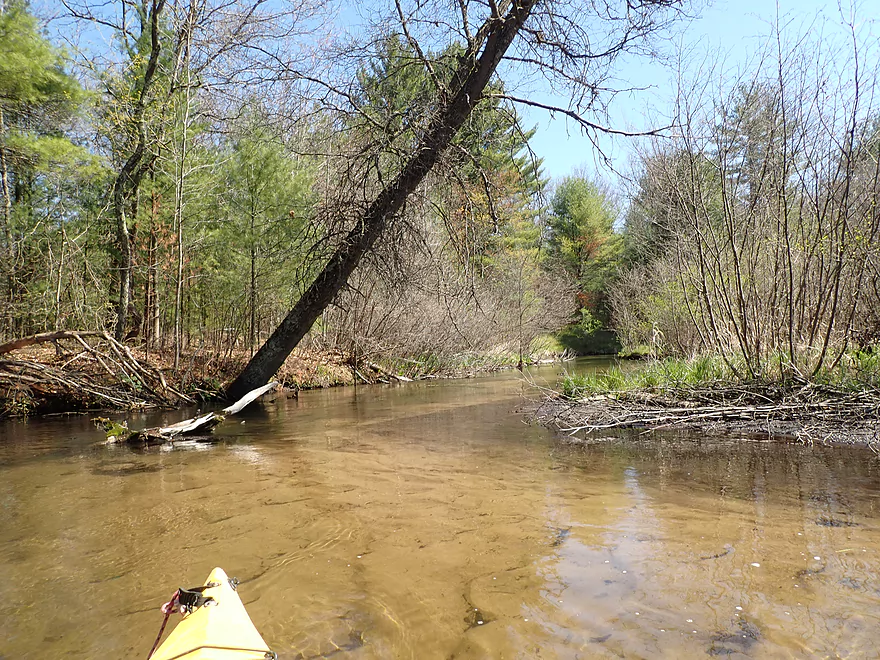
The first mile was relatively open with a smattering of hardwoods, pines, and skunk cabbage dotting the shoreline. The DNR has done significant work on this creek and in multiple spots I could see where they propped up the banks with rocks and logs. While never very wide or deep, the channel was almost always plenty navigable.
The main highlight of the trip was the incredible crystal clear clarity (a likely byproduct of multiple spring tributaries). This is definitely a trip you want to time for a sunny day, as the light-colored sandy substrate will act as a mirror to really light up the main river channel.
Generally speaking deadfall wasn’t an issue, but there were two logjams that would require portaging. Following a low trail bridge that also had to be portaged, the river picked up speed and I enjoyed several light rapids that ran over gravel deposits. I started seeing more pine trees which gave the river a different vibe. One of the cool things about paddling past pine trees is they make a very soothing sound when the wind blows through them.
Close to Hwy 22 was one of the few hilly stretches on the river. Here the current was the fastest and culminated in some Class 1+ rapids directly under Hwy 22. The bridge area here was among the more scenic stretches of the river.
I debated ending my trip at Hwy 22, but given that I was so close to the White River mouth, I decided to keep going to the next bridge. This turned out to be a good decision as the last leg of the West Branch was quite nice. It was also much different…less twisty, more open, wider, but still fantastic clarity and scenery.
The river changed quite a bit once it joined the main branch (which I estimated might have been twice the size of the West Branch). While the West Branch was rarely over a foot deep, the combined branches frequently had deep holes over 5′. Clarity was still ok, but not as phenomenal as it had been. Now the trip felt more like a river than a creek as the channel became significantly deeper, wider, and straighter.
I ended the trip at Cottonville Lane which was a good spot to end a trip. Just downstream from here, the White River becomes impounded by the Hwy YY dam and likely isn’t as interesting for padding.
In summary, this was a great paddle and a fun trip. I’m surprised I hadn’t heard of anyone else paddling it. In many ways it was similar to Westfield Creek which I did just two weeks ago. While both had great clarity, the West Branch was narrower, more twisty, and had more alders. Westfield Creek might have been slightly more interesting, but the West Branch of the White River actually had the better water clarity.
Sights included some fish and an eagle. The highlight was a plump brown pheasant that flew out in front of my boat.
Cottonville Ave: There is a small but nice DNR parking lot just north of the bridge. From here it is easy to drag your boat to the water and to launch on the upstream side.
Alternate Put-ins:
- Hwy 21 (2.9 miles upstream from Cottonville Ave): There is a good public wayside west of the Hwy 21 bridge. This additional stretch would have maybe 6 logjams, but have spectacularly clear water and many scenic pine trees.
S. White River Road: There is a nice DNR pull-off here and a 150′ trail leads to the water. The water by the shoreline is a bit deep, so a dock-style dismount might be required.
Alternate Take-outs:
- Hwy 22 (1.8 miles upstream of S. White River Rd): I suppose you could take out here, but given the proximity to the mouth, it’s worth it IMO to keep paddling to the next bridge. Hwy 22 has a long embankment that would require a 500′ boat drag to get to your car. Fishermen do access the water here on the east side and it is scenic.
- Cottonville Lane (150′ upstream of S. White River Rd): Just upstream from the fishing access is a bridge which can also be a take-out. I suggest taking out at the fishing access though as it has better parking.
- Pine View Rd Landing (2.1 miles downstream from S. White River Rd): This stretch is mostly an impounded flowage that likely isn’t super interesting.
S. White River Rd to Cottonville Ave: 2.4 miles with 46′ of ascent. This was a very short and easy bike shuttle.
Current: Mostly steady and not too fast. Close to Hwy 22 there are a handful of light riffles.
Rapids: The only significant rapids are located under Hwy 22 which I would rate as Class 1+.
Logjams: There were three downed trees that either require extreme ducking or a portage. Two of these would be an easy portage and the third a mediocre one. Locations marked on trip map.
Low Bridges: There was one low trail bridge to portage, but that was super easy.
Most Approximate Gauge: Chaffee Creek @ I-39
Trip Depth: 13 CFS or 3.65′
Depth Guide: Note while Chaffee Creek is located next door to the West Branch and is also sourced by springs, it may not be super representative because it is much smaller.
- < 11 cfs: Maybe too shallow.
- 11.0-12.5 cfs: Below average, but mostly navigable with maybe 2-3 ground-outs. Exceptional clarity at this depth.
- 12.5-13.5 cfs: Average depth and a good target range.
- 13.5-14.5 cfs: Likely ok for paddling but clarity won’t be as good.
- 15’+ cfs: Maybe too high for good paddling.
Detailed Overview
Main Branch:
- Swamp Road to Wautoma Library: (1.94 miles) An interesting prospect with a few log jams. Unfortunately this is scheduled to be turned into a flowage in spring of 2017.
- Wautoma Wetlands Park to the Fire Department: (1.19 miles) A super scenic section but too clogged with jams. Reviewed here.
- Fire Department to Chicago Road: (0.8 miles) A good section with two down trees to circumnavigate. Reviewed here.
- Chicago Road to Cottonville Lane: (2.47 miles) A very nice section. Reviewed here.
- Cottonville Lane to Pine View Road Landing: (2.1 miles) Mostly open flowage paddling, which I assume is uninteresting.
- Pine View Landing to Czech Lane: (4.7 miles) A nice prospect on my to-do list, but will have some down trees and a dam to portage.
- Czech Lane to Neshokoro Dam: (2.64 miles) Probably uninteresting as this is mostly flowage paddling.
- Neshkoro Dam to 22nd Ave Canoe Launch: (3.43 miles) A very good prospect I review here.
- 22nd Ave Canoe Launch to Hwy D: (8.3 miles) A good section that I reviewed here. Liked the stretch, but found the log jams frustrating. Have been told that the main obstructions have been recently cleared out though.
- Hwy D to White River Road: (4.2 miles) A good prospect I had written off due to fear of log jams, but per Tim is mostly clear now.
- White River Road to Mouth on Fox River: (2.1 miles) Am unsure of this stretch and if log jams are an issue?
- Fox River Options After White River Mouth
- You can paddle 1.25 miles upstream to the White River Locks which is a great take-out option
- You can paddle 0.7 miles downstream to Huckleberry Lane where there is a small area for taking out (am not sure this is public or private though)
West Branch:
- Upstream of Hwy T: This leg may have too many logjams. A bigger concern is that the upstream bridge (13th Ave) has a very steep embankment so there really isn’t a good put-in option.
- Hwy T to Hwy 21: 2.2 miles. Very scenic leg with perfect clarity and a number of pine trees. On the downside it is a bit small and obstructed at times. Figure 7-8 logjams total, but it might be worth it.
- Hwy 21 to Cottonville Ave: 2.9 miles. Maybe 6 logjams, but a super scenic stretch with many pine trees. On my todo list.
- Cottonville Ave to Cottonville Lane: 5.0 miles.
- Cottonville Ave to Hwy 22: 2.2 miles. Great stretch with clear sandy water and nice pine trees. Two logjams and one log bridge, but manageable portages.
- Hwy 22 to Mouth on White River: 0.4 miles. Great stretch with more crystal clear water.
- Mouth to S. White River Rd: 1.4 miles. Very nice section with clear water. It’s much wider, deeper and more open that upstream legs. No logjams.
- Cottonville Lane to Pine View Rd: 2.1 miles. Mostly open flowage paddling, which I assume is uninteresting.
Trip Map
Overview Map
Video
Photos Size:
Did the same trip you did this spring but took at the bridge on Cottonwood. Narrow and intimate paddle. One portage (walking bridge) and 2 pull-overs; the first is less of a pile now compared to your picture from the spring. Other challenges as well including one very low tree a little ways after Hwy 22. Water clarity was great. Thanks for your reports, very much appreciated!
Thanks for the comment. The White River West Branch is a pretty underrated paddle IMO.