
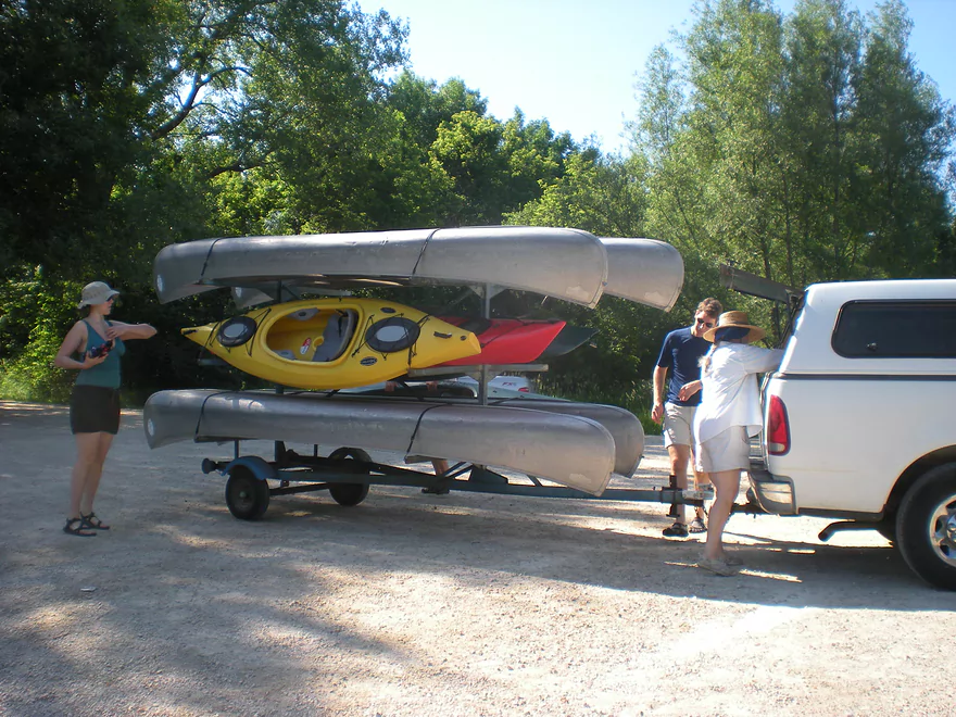
Getting a shuttle to start the trip
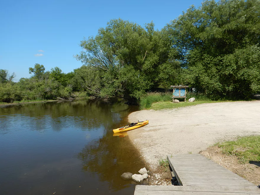
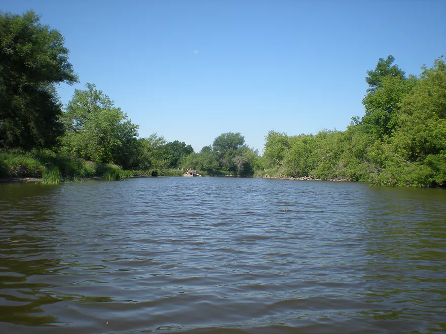
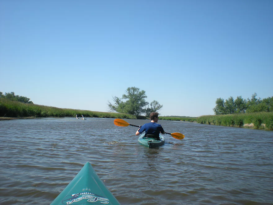
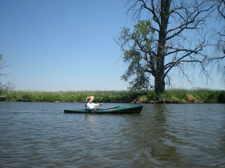
Very nice put-in at Green Head Road
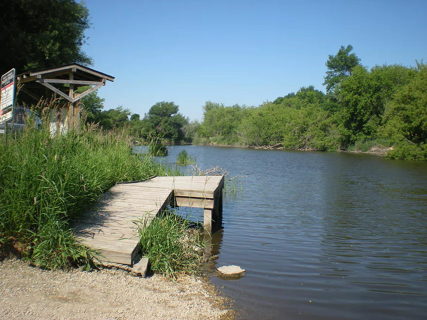
With a boardwalk for canoes
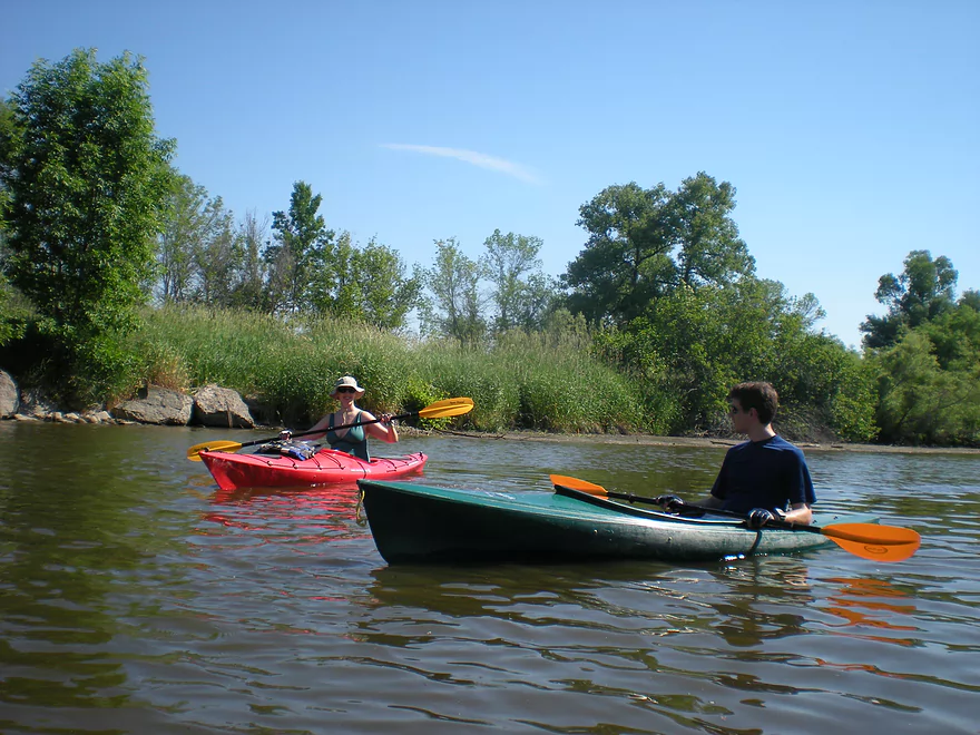
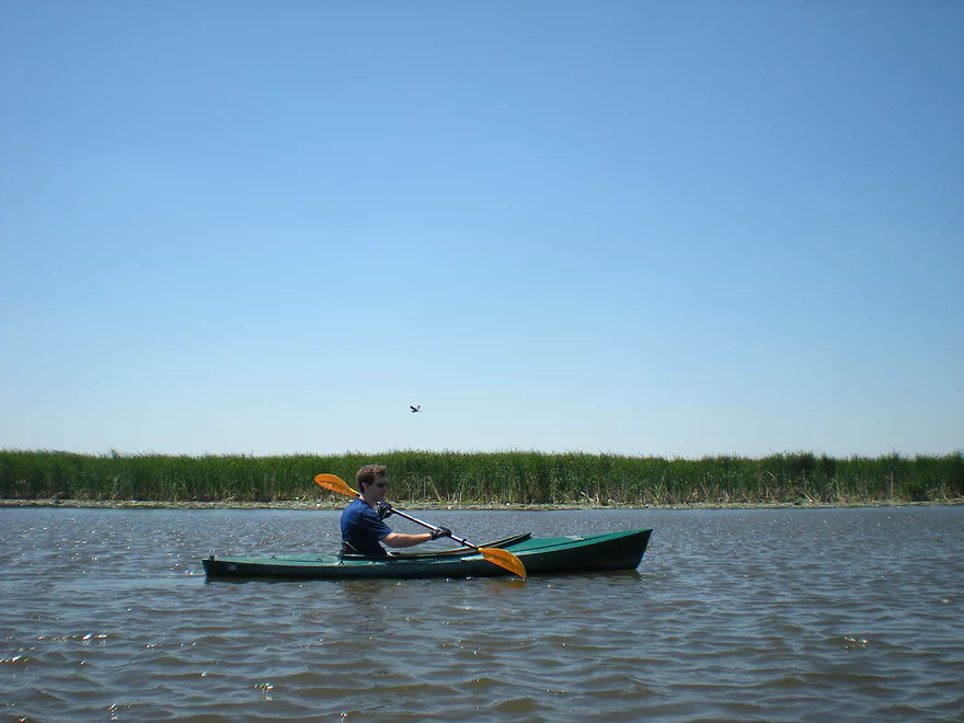
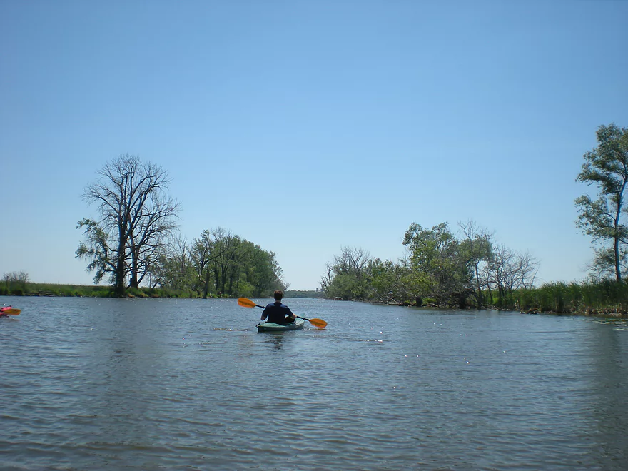
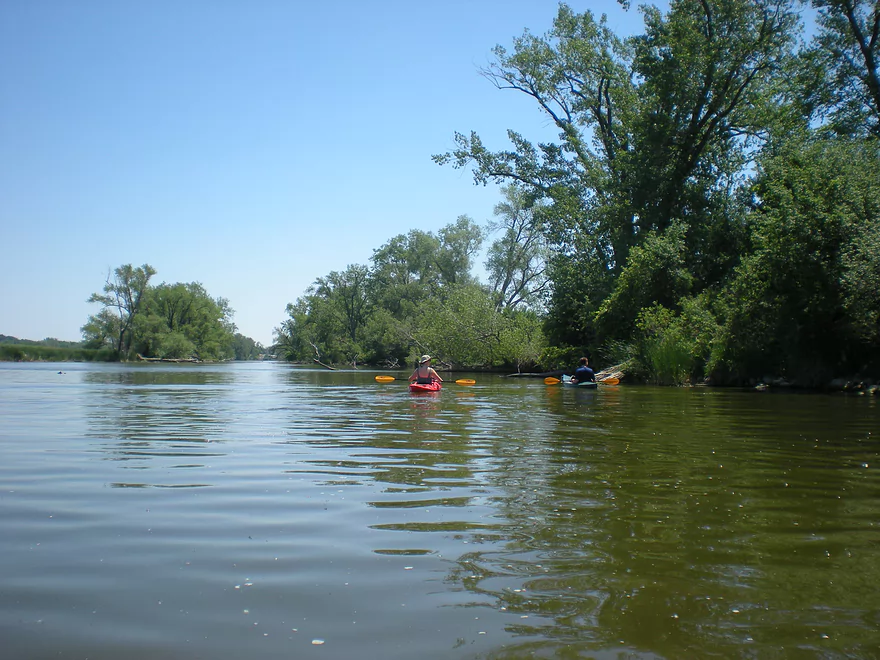
The first leg is on the East Branch of the Rock River
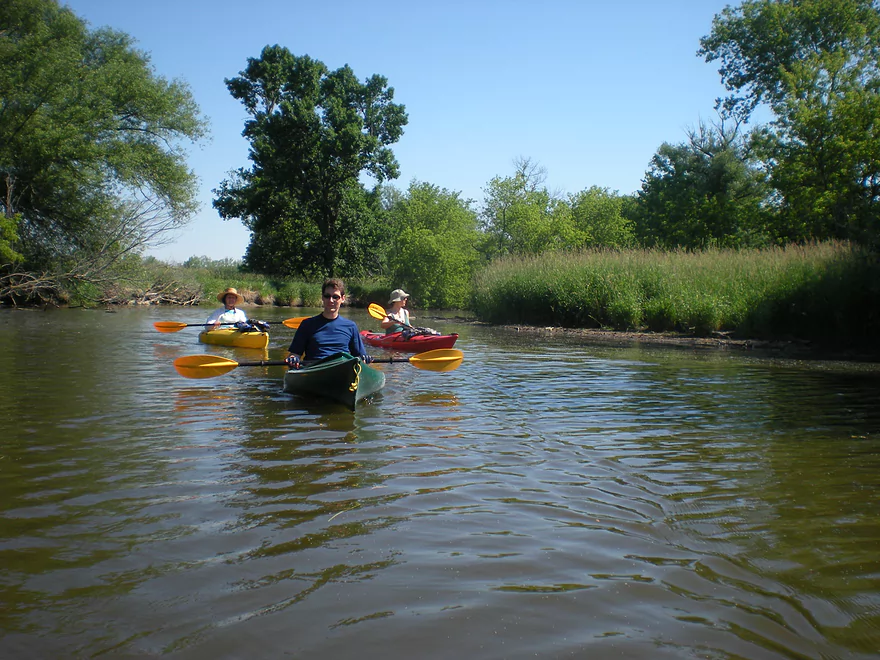
My favorite part of the trip
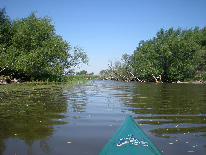
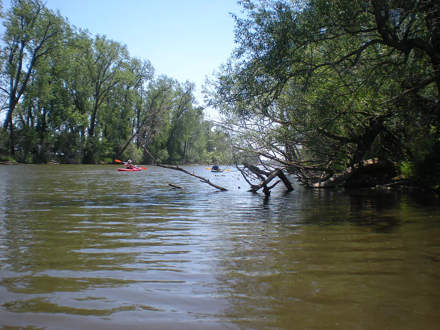
Trees starting to thin out
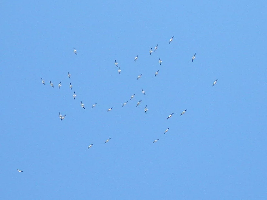
Huge flock of pelicans
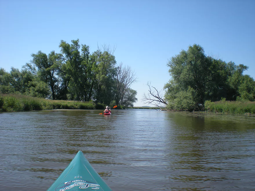
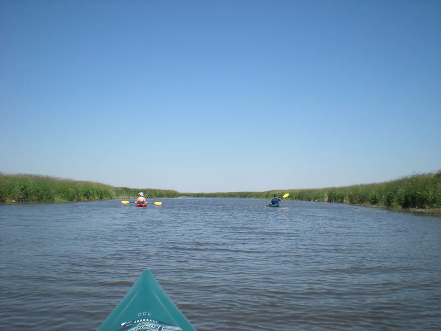
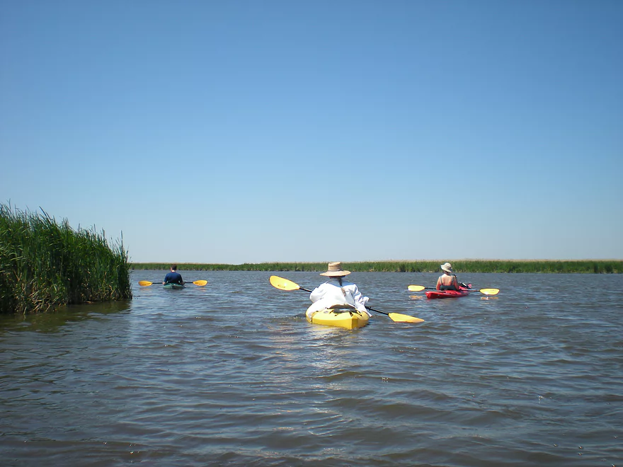
Lot of cattails
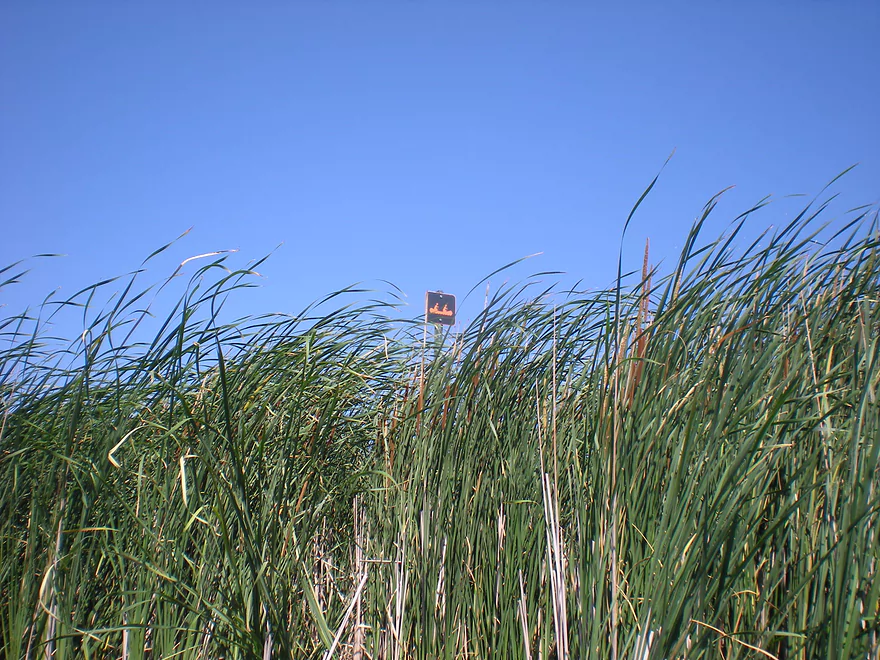
The trail signs were not helpful
The South Branch joins the East Branch here to form a lake
We were facing a nasty headwind
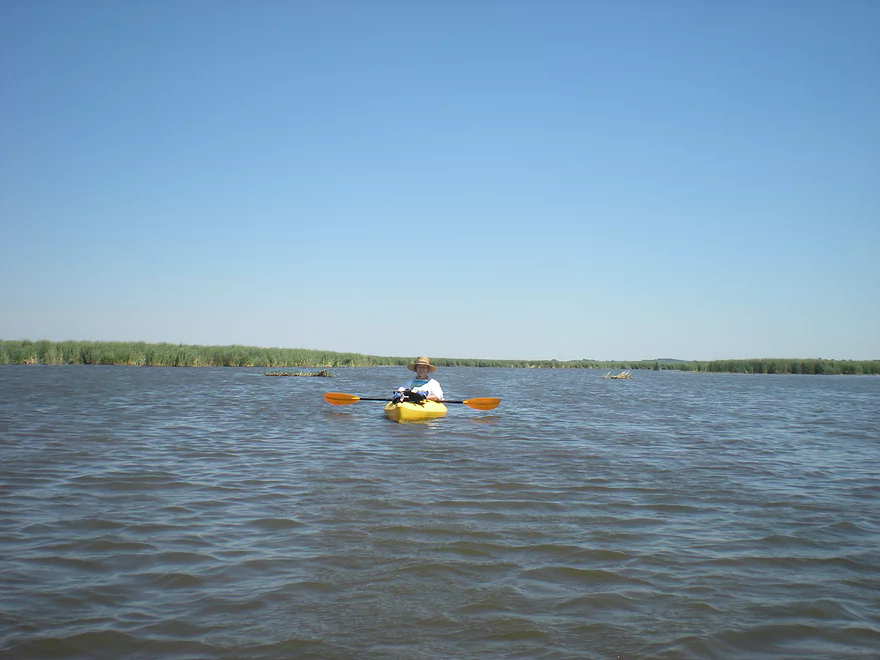
More lake paddling
Paddling down an artificial canal
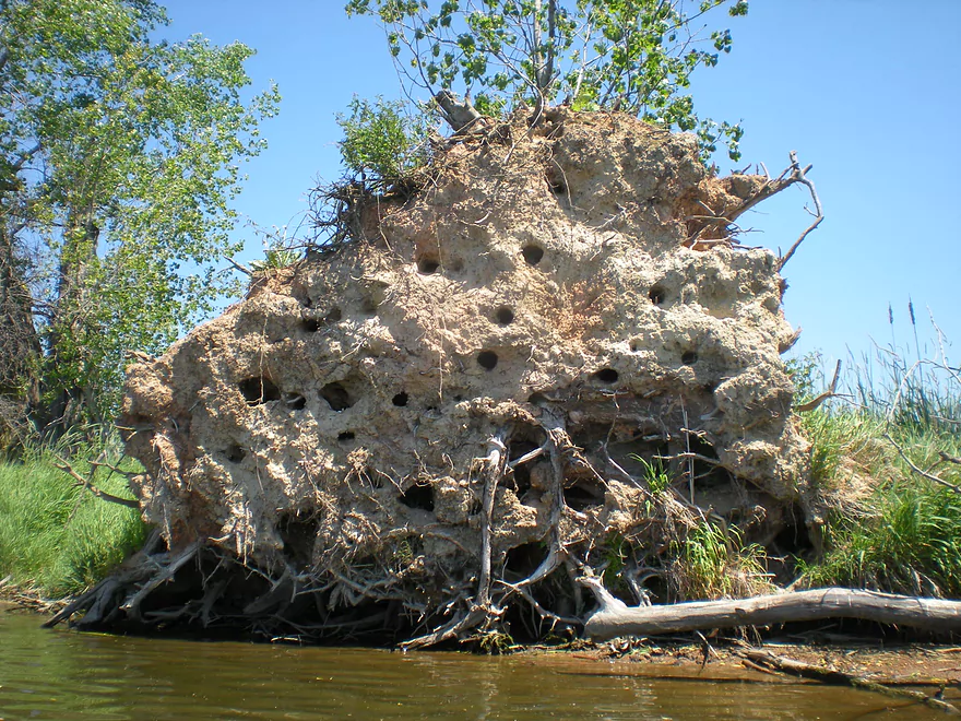
Curious…the birds were nesting in the roots
The canal was very long, straight and repetitive
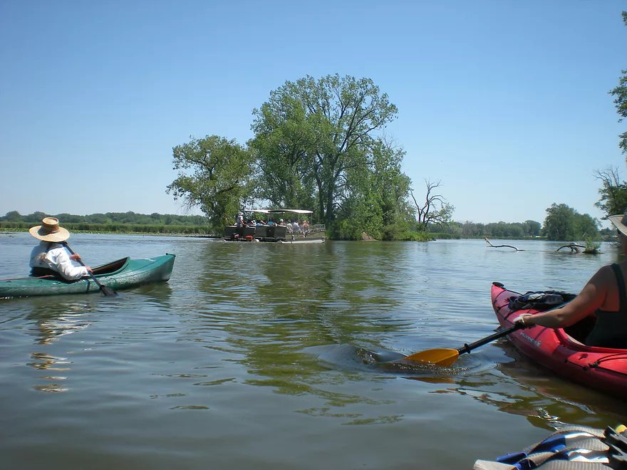
A Horicon Marsh tour boat
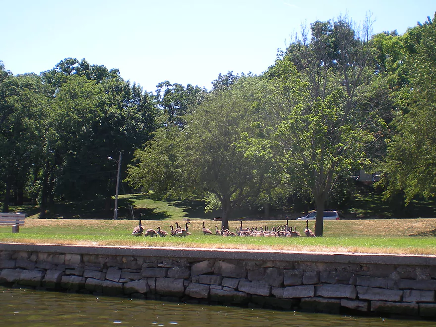
The irony…we did not see geese on the Marsh but did in the city
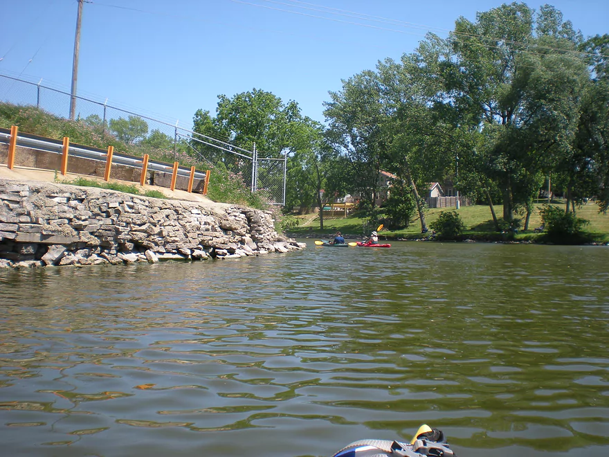
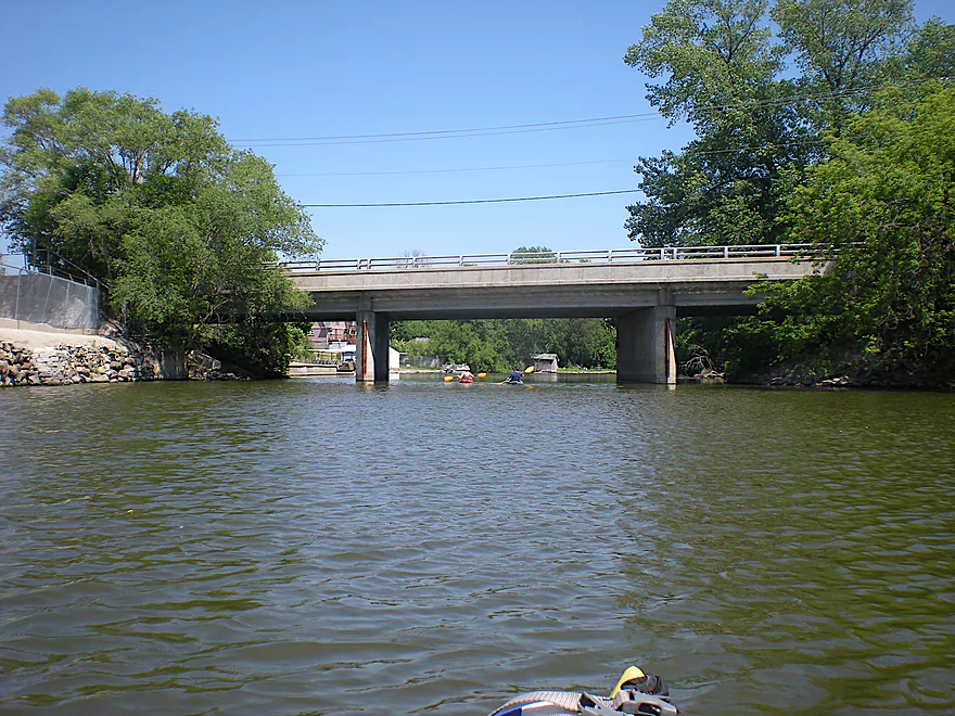
Paddling past a large John Deere plant
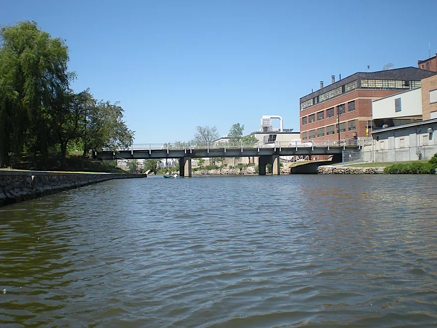
We are in the city of Horicon now
Barstow Street
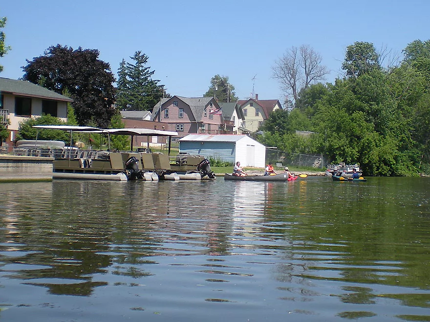
And taking out at Horicon Marsh Boat Tours
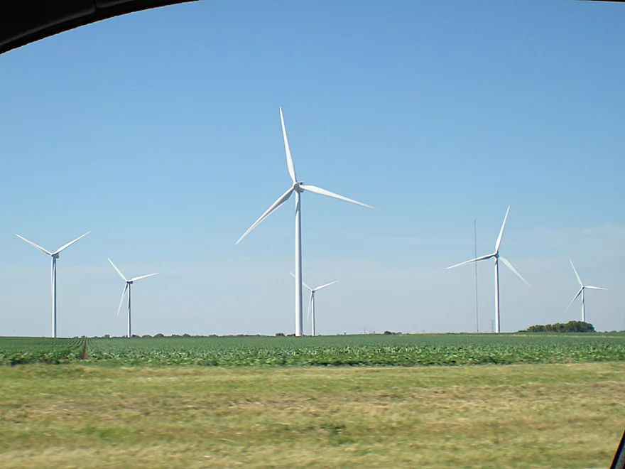
We drove home past a HUGE wind farm
Horicon Marsh

This is a trip that takes a lot of planning to get right. Basically, the Horicon area is a drained swamp that has been artificially restored by a dam near the center of the city of Horicon. As you probably know, this is a VERY popular area for birds. While there are different canoe/kayak options, the main ‘official’ canoe route is from a small landing northeast of the lake/marsh. I believe there is a minor landing on the west side and there are of course canoe options below the Horicon dam…but that is more of the Rock River and is a separate paddling experience. The far north end of the marsh is completely off limits to boaters due to national protection. The history of the marsh is quite interesting and I do recommend Googling this. Even despite all the restoration efforts it’s experienced, it’s not in its ideal native state. Invasive cattails have taken over, as have carp. They’ve recently tried to use chemicals to kill off both, but this has failed (and probably left the water quality in worse shape).
The main route is pretty popular and is serviced by a local shuttle and rental place (they also do pontoon tours of the lower section if you’re lazy). The put-in is small but nice (don’t remember bathrooms). There are roughly 3-4 sections of this ~10 mile route. The first section is a nice no-current stream that runs through a tunnel of cattail grass. The second section is an artificial canal. The third section is pretty much a decent sized lake, and the forth section is the Rock River as it runs through the city of Horicon and on to the landing (assuming you use the local shuttle service…there is a public landing further upstream if needed). You can…perhaps not get lost, but choose the incorrect routes which can waste time. You’ll probably want to study the maps or bring GPS. There are trail markers along the canoe route…but they are oddly placed (like you’ll only see them if you are already on the main route…oh well).
While generally this route is pretty navigable, we went during a drought and we had a very serious ‘get stuck’ moment about a third into our trip. The bottom is VERY muddy, so getting out to pull your kayak isn’t fun. In fact, this whole section of the marsh was surprisingly muddy–probably due to the Horicon dam, which traps sediment in the marsh. They would probably be better served by taking out the dam and filling in the canals….oh well. Try to read the ripples (still water runs deep), so you don’t get stuck like we did. Getting stuck will be the most minor of your problems though. There is no tree cover, so there is nothing to block the wind and it can be quite strong. Monitor the weather forecast for direction and speed of the wind. Probably don’t want to go if there is head-wind of more than 5-8 miles an hour. We we were told by the shuttle service, that they don’t service this route when the wind gets over 15 mph. We went when it was 20 and it was a straight head-wind (not fun). In hindsight, we should have done the route in reverse as we could have ‘sailed’ the route in reverse with no problems…and that would have been quite fun. Obviously, with a strong wind, you can dehydrate quickly, so pack lots of water.
That’s all the negative stuff…if you go during nice weather this trip can be quite nice. There are no shade trees, so you may want to go very early in the morning, in the evening, or late spring/early fall. In fact, the main reason to paddle Horicon Marsh is to see the birds. We did see a number of them, including pelicans (very cool mega-flocks), blue herons, and more…but this wasn’t during the migration periods so the volume was a fraction of what you would see if you timed this during a migration. I don’t know when the best times would be (the local pontoon tour place would know or any local visitor center could tell you). I highly recommend scheduling your trip DURING the spring or fall migrations. Besides birds we saw turtles and lots of fish (mostly carp). In fact, the carp are so plentiful and large that our kayaks would frequently spook them and they would thrash about, giving our boats a good thumping that you could feel (especially if you hugged the shoreline).
Getting back to the trip, the first section was nice (but windy). The canal was not as interesting (and even windier). The lake section was tough sledding…because then you had to not only contend with the waves but also the wind. The Rock river section itself was pleasant and relatively sheltered (although somewhat industrial…you’ll get to see a John Deere factory on your left). At the end of the lake there should be a public landing on your right and a ~mile downstream, the private shuttle service landing on your left. This is JUST upstream of the dam.
Aside from paddling, you can again take the pontoon tours…but they don’t go that far up into marsh…mostly just the main Rock River channel and the lake…then they turn back. There are a number of nice nature centers along the perimeter of Horicon Marsh that you can check out as well (Google for whatever you need). There is a county park to the east of Horicon called ‘Ledge Park’ that is quite nice and on par with most state parks. It offers a nice view of the marsh on top of a tall rock ledge. The picnic and camp areas are in a nice forested section of the park and there is a trail that runs along the west side of the park overlooking the marsh (a good spot to be during the mega-migrations).
All in all, I can’t recommend this trip, given the same terms we faced…but if you go when it is cooler, less sunny, less windy and during the migration when the famous volume of birds fly in, I’m sure this would be well worth doing and more deserving of a higher rating.
Detailed Overview
East Branch:
- Upstream of Hillcrest Drive: I believe these portions are too congested to paddle.
- Hillcrest Drive to Hwy DW: 4.1 miles.
- Hillcrest Drive to Riveredge Park: 0.9 miles. Scenic stretch through the outskirts of Allenton with good clarity. However there are two major logjams to portage, and several minor logjams to squeak past.
- Riveredge Park to Hwy DW: 2.7 miles. An open stretch through wetgrass and a state natural area. One logjam needs to be portaged.
- Hwy DW to Hwy D: 5.5 miles. Outside of one nasty logjam cluster this is a pretty open creek paddle through a protected wildlife area that might be decent.
- Hwy D Wayside to N. Pole Rd. Launch: 7.3 miles. A good wetland paddle prospect through Theresa Marsh. Maybe 1-2 downed trees on the upper part.
- Kohlsville River: Note, the Kohlsville River joins the East Branch here, but it seems too congested with downed trees to be feasible.
- N. Pole Rd to Gill Rd(East): 6.0 miles.
- N. Pole Rd Landing to River Edge Park: 1.3 miles. Slow, open, and marshy channel. Nice though.
- River Edge Park to Rock River Street/Dam: 0.5 miles. A nice town paddle through the community of Theresa. One dam to portage.
- Rock River Street/Dam to Hwy AY: 3.5 miles. One of my favorite stretches on the entire Rock River. While shallow in spots, it is scenic with nice woods, small boulder gardens and multiple light rapids.
- Hwy AY to Gill Road(East): 0.7 miles. A brief wooded stretch that is a nice paddle.
- Gill Road(East) to Hwy 67/Dam: 8.3 miles.
- Gill Road(East) to McArthur Road/Fink Creek: 4.7 miles. Starts boring, weedy, and slow, but gets nice with clear water and rocks later on. Gill Road(West) may be a viable halfway access.
- McArthur Road to Hwy 67/Dam: 3.6 miles. A less interesting paddle through a flowage and downtown Mayville with numerous alt take-outs.
- Hwy 67 to Green Head Road Ramp: 6.4 miles.
- Hwy 67 to Hwy Y/Ziegler Park: 1.9 miles. One of the best paddling stretches on the entire Rock River with good current and small boulder gardens.
- Hwy Y to Hwy TW/Kekoskee Pond Ramp: 1.9 miles. A good stretch that includes a little bit of flowage paddling.
- Hwy TW to Green Head Road Ramp: 2.6 miles. An ok stretch as the river really slows and starts to turn into marsh.
- Green Head Road to N. Nebraska St. Ramp: 10.0 miles. The most popular route through Horicon Marsh known for its waterfowl.
South Branch:
- Upstream of E. Rock River Rd.: I suspect downed trees are too much of an issue for this to be navigable.
- E. Rock River Road to Hwy 49: 1.6 miles. Perhaps a cluster of downed trees in the middle and an electric fence upstream of Hwy 49.
- Hwy 49 to Waupun Park: 1.7 miles. Hwy 49 is not ideal for launching, but should be doable. A good prospect mostly through a golf course. Maybe 2 logjams?
- Waupun Park to E. Waupun Road: 7.2 miles. A good section.
- Waupun Park to Tanner Park: 3.1 miles. Great section though downtown Waupun. Alt access at Pine Street Park, Meadow View Park and Harris Mill Park.
- Tanner Park to Roadside Park: 3.2 miles. A pleasant paddle through a mixture of woods and open areas. A couple of logjam squeakers and one major portage.
- Roadside Park to E. Waupun Road: 0.9 miles. River widens, slows, and gets less interesting.
- E. Waupun Road to Dike Road: 10.0 miles. This is the northern unit of Horicon Marsh and is off limits to paddlers per National Wildlife Refuge rules.
- Dike Road to N. Nebraska St. Ramp: 5.6 miles. Am 80% sure you can drive on Dike Road from the east to launch in the ditch. Mostly a long straight canal paddle through Horicon Marsh with perhaps interesting side canals to explore. You can also launch in a west canal by Burnett Ditch Road. The city of Horicon marks the confluence of the South and East Branches of the Rock River.
West Branch:
It’s a neat prospect, but I suspect the logjam situation is too much (I could be wrong).
Main Branch:
- N. Nebraska St. to Legion Park/Dam: 0.9 miles. An ok section through downtown Horicon.
- Legion Park to River Bend Park: 1.1 miles. Simple river segment…probably nothing too special.
- River Bend Park to Lions Park: 8.8 miles. A large and probably uninteresting flowage. If you get permission to take out at Ox-Bo Marine, you can avoid much of the flowage paddling.
- Lions Park to Elmwood Park: 7.2 miles. Trip starts nice with a great boulder garden, but becomes less interesting as the current dies.
- Elmwood Park to Hwy MM: 4.4 miles. An interesting prospect recommended by Frank Piraino.
- Hwy MM to Harnischfeger Park: 6.9 miles.
- Harnischfeger Park to Kaul Park/Hwy CW: 5.1 miles. Nice section with more wooded banks.
- Kaul Park to Kanow Park: 5.7 miles. Nice prospect.
- Kanow Park to Hwy F: 5.0 miles. Mediocre prospect.
- Hwy F to Hwy P: 6.0 miles. This isn't an elite trip with slow current and no exotic scenery. But it is pleasant and one of the nicer legs on the Lower Rock.
- Hwy P to Dam1st/Front St.: 5.6 miles. Probably an uninteresting flowage paddle.
- Dam1st/Front St. to Dam2nd/S. 1st Street: 2.6 miles. Possibly a unique paddle through downtown Watertown.
- 1st Street to Hwy 26 Launch: 3.5 miles. Mediocre prospect.
- Hwy 26 Launch to Hwy B: 10.9 miles. The put-in is SE of Hwy 26 via Jefferson Road. This segment is more undeveloped, but is still probably not interesting with the highlight being I94.
- Hwy B to Lubahn Park/N. Watertown Ave: 4.1 miles. Probably uninteresting.
- Lubahn Park to Tensfeldt Park: 2.3 miles. Paddling through downtown Jefferson might be unique, but there is a dam to portage. Many alt landings in Jefferson.
- Tensfeldt Park to Klement Park: 4.2 miles. Probably an interesting tweener section between Jefferson and Fort Atkinson.
- Klement Park to Lorman Bicentennial Park: 3.1 miles. A weak prospect through downtown Fort Atkinson.
- Lorman Park to Hwy 26 Ramp: 3.3 miles. A weak prospect.
- Hwy 26 to E. Knudsen Road Ramp: 11.8 miles. Mostly boring paddling on Lake Koshkonong. Many other launches on the lake.
- E. Knudsen Road Ramp to Hwy M/Dam: 3.4 miles. Boring flowage.
- Hwy M/Dam to Hwy 14: 8.2 miles. Probably uninteresting.
- Hwy 14 to Century Ave/Dam: 6.4 miles. A trip through downtown Janesville with several dangerous dams to portage (reviewed by AmericanWhitewater.org). There are also many other launch options in Janesville.
- Century Ave/Dam to Happy Hollow Park: 7.8 miles. A very industrial section.
- Happy Hollow Park to Preservation Park Boat launch: 3.2 miles.
- Preservation Park to Wooton Park Boat Ramp: 3.0 miles. Start of urban paddling in Beloit. Numerous other launch options in Beloit proper.
- Further Rock River Trips: From here on, you are in Illinois. For further information see “Paddling Illinois” or Rockrivertrail.com.
Trip Map
View Horicon Marsh in a larger map
Overview Map
Video
Photos Size:
As of 2021-05-21, “breakaway bogs” or large blocks of vegetation have blocked access to the landings at the south end of the marsh. No word on when this will be cleared up. I suspect Horicon is starting to silt in from the Horicon dam. The DNR apparently has no interest in fixing the issue. https://www.wiscnews.com/bdc/news/local/movement-through-horicon-slows-down/article_7ae60214-ba1b-57ef-acea-d9287a328d19.html
A warning for paddlers. As of 2023-07-08, the marsh is way too low to be paddled.
I paddled the marsh in late June, 2023. It was quite hot, low 90’s, and the air was Smokey from Canadian wildfires. Nevertheless, I had a nice solo paddle from the Greenhead Landing to Horicon’s Blue Hern Landing.. I used Blue Hern’s shuttle service which was great and inexpensive. Other than the heat and smoke, conditions were fine, with just a slight breeze. I saw one bald eagle up close, and lots of pelicans, cormorants, and egrets.
I camped out at Ledge Park. He next day I biked along Dike Road and saw a lot more egrets and geese. Biking is another great way to experience the marsh. I look forward to paddling the marsh again, perhaps starting at Burnet Ditch next time.
Thanks for the comment. The bike trails by the marsh are very underrated!
Paddlers should be warned…The main Green Head Launch might now be closed. I found this on the internet:
‘For anyone thinking about kayaking at Horicon Marsh, Green Head road launch is closed marked “Private Property ” Now, there is technically a “lauch” spot just at the end of that road, However its kinda steep, and rocky. A kind gentleman came and told us about a new launch just north on the Rock River, just off of Upper Dike road, and Northern Road.’