
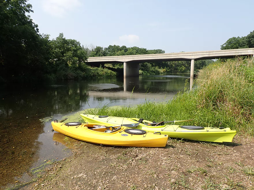
Nice put-in at Hwy 140
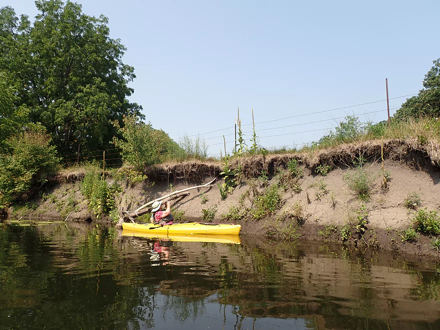
A rare mud bank on Turtle Creek
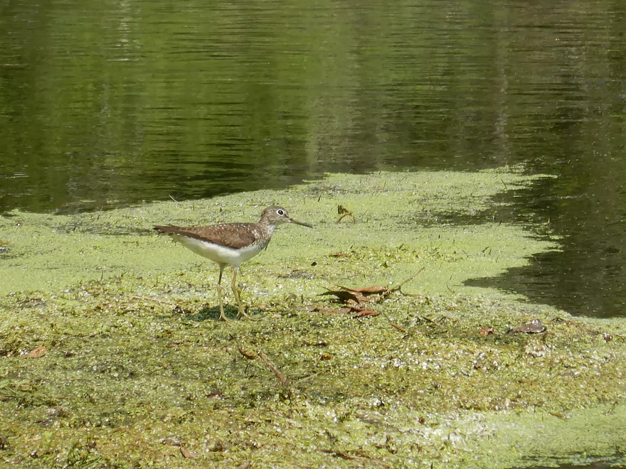
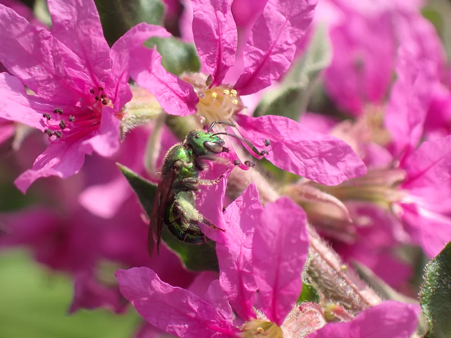
Shorebird
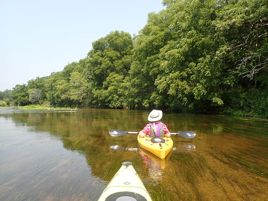
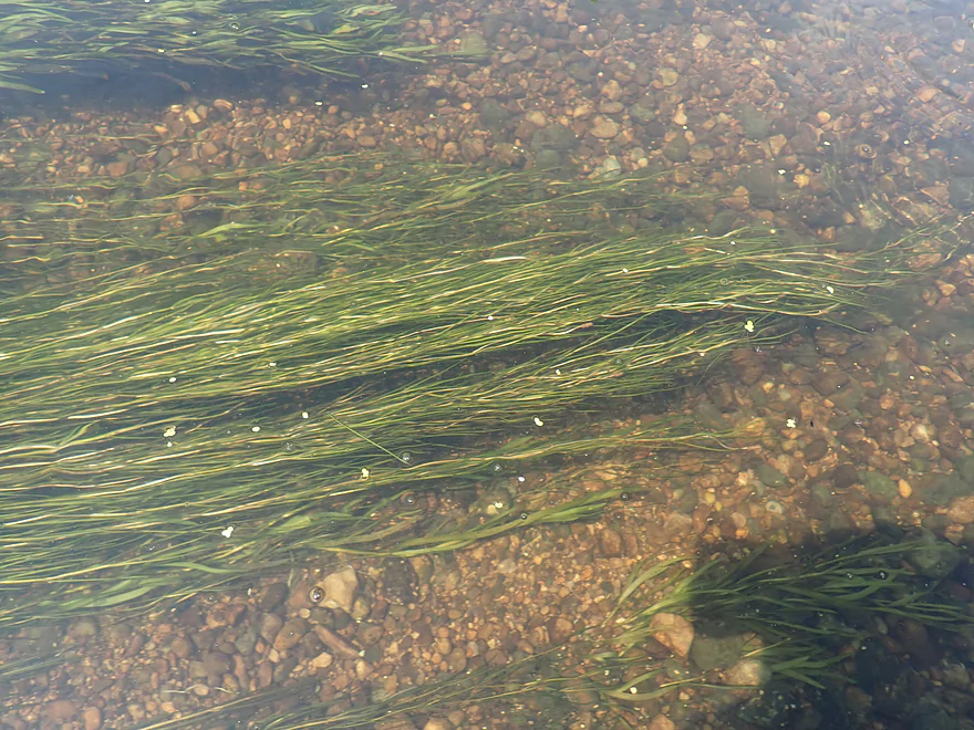
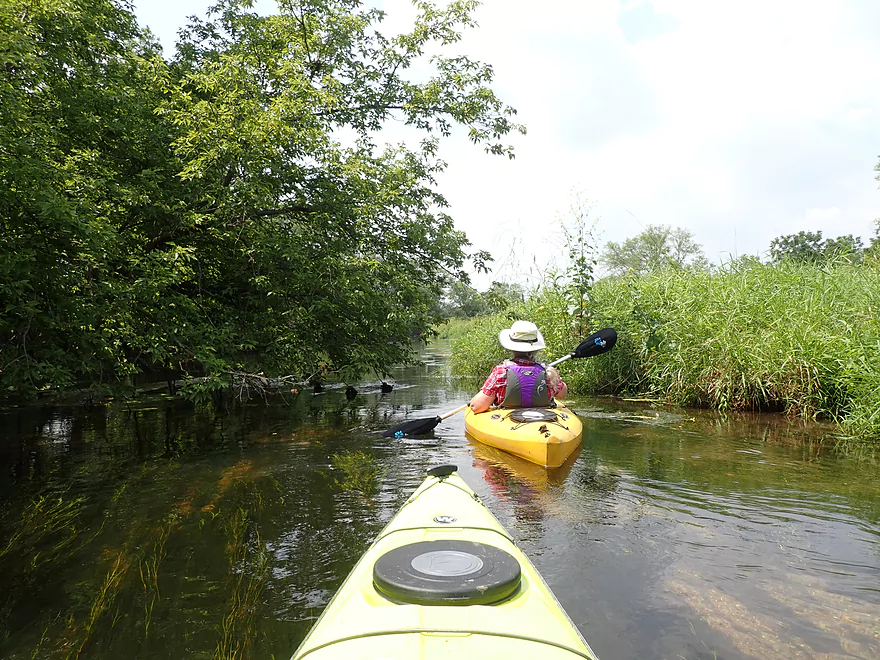
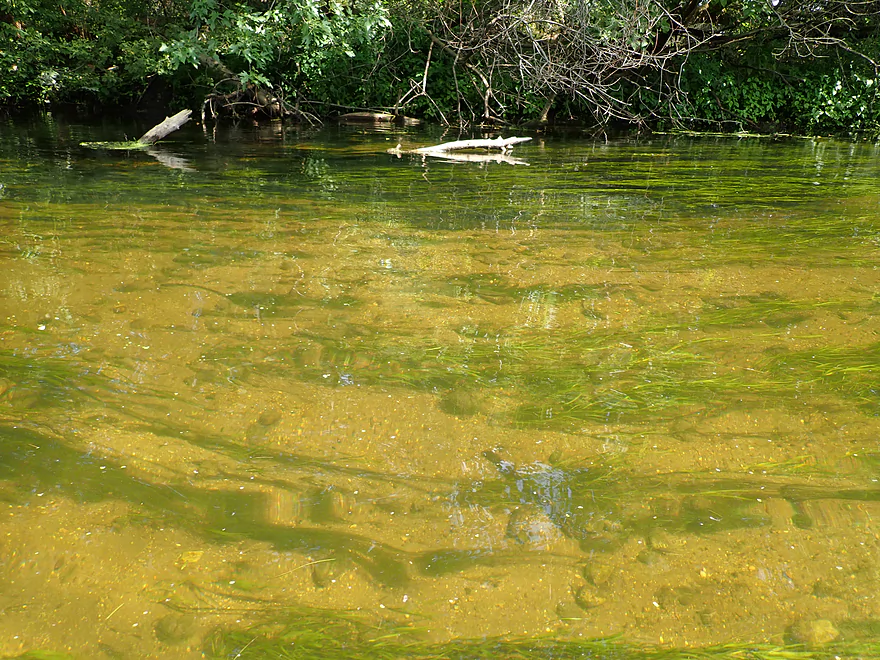
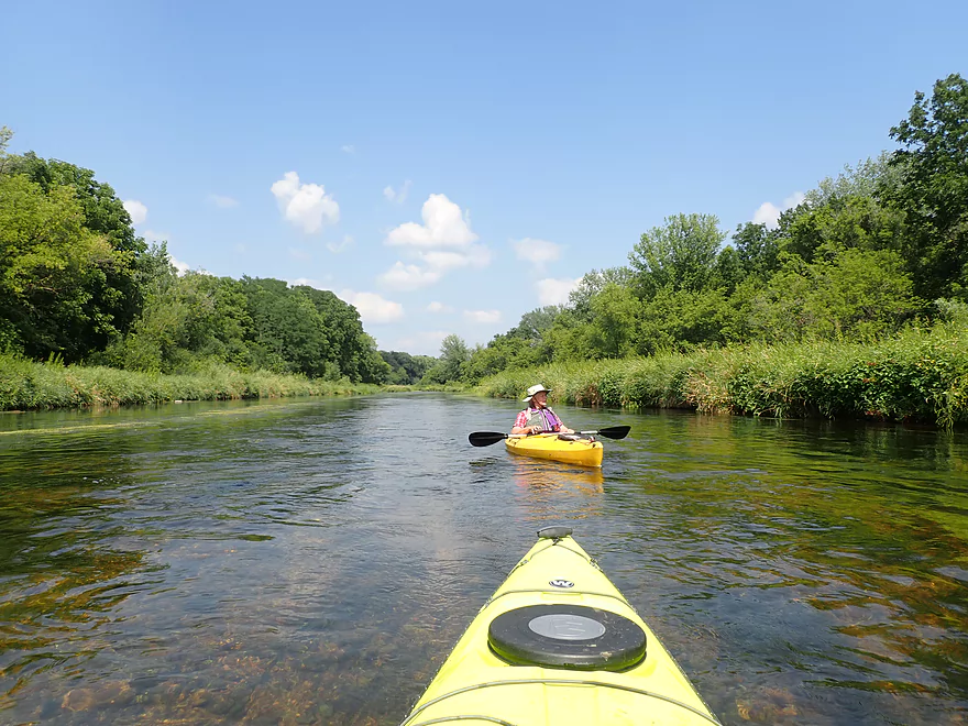
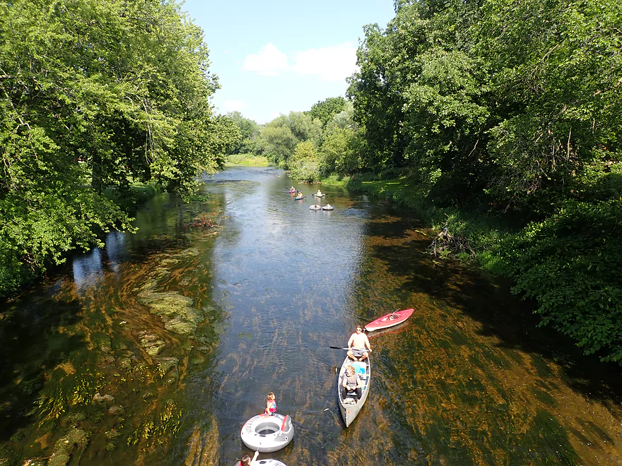
Good clarity
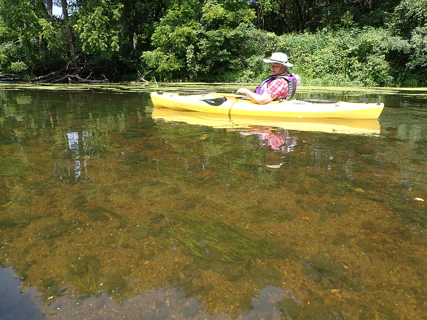
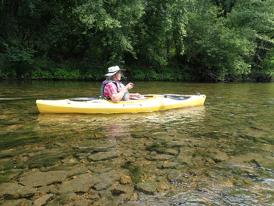
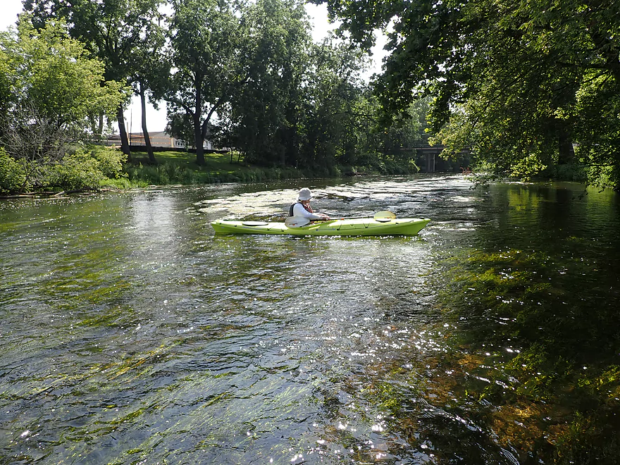
Like paddling in an aquarium
Wild rice might be thicker in later summer
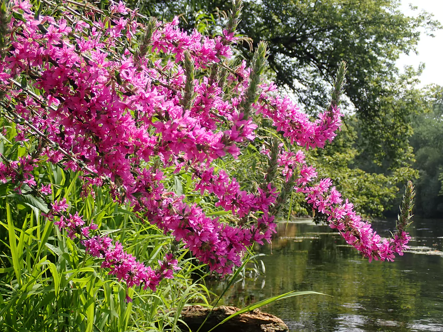
Purple loosestrife
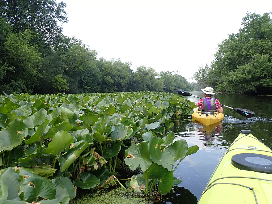
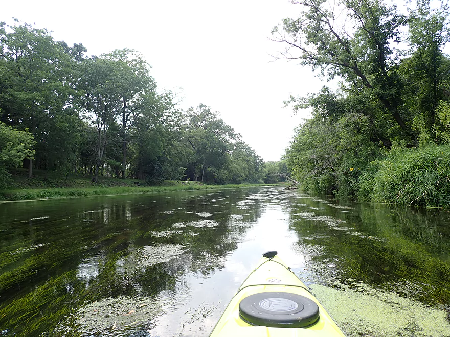
Large lily field
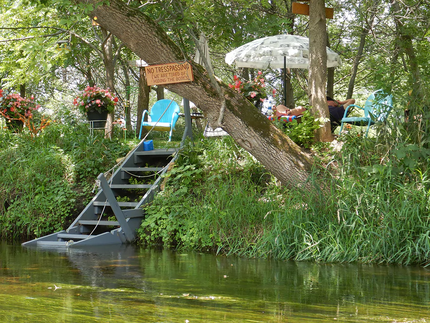
“We are tired of hiding the bodies”
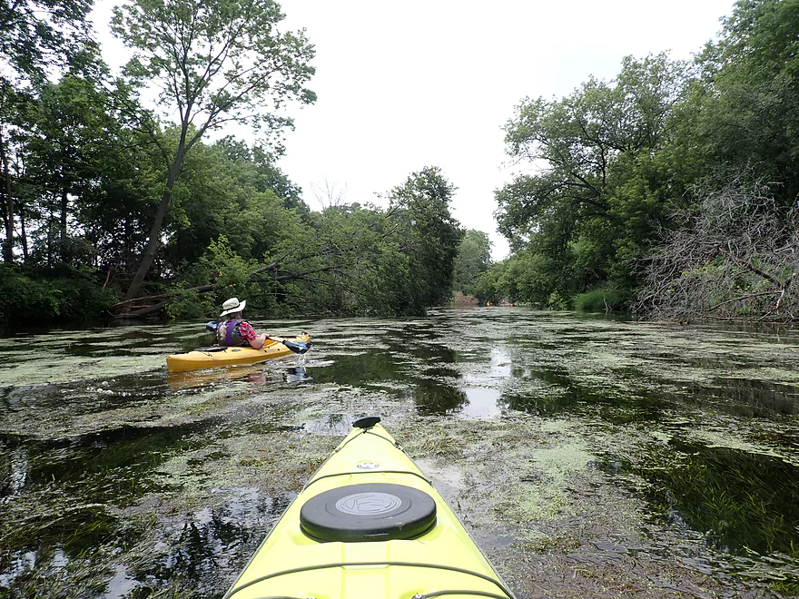
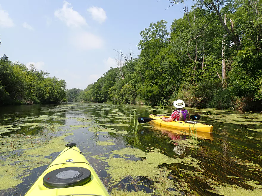
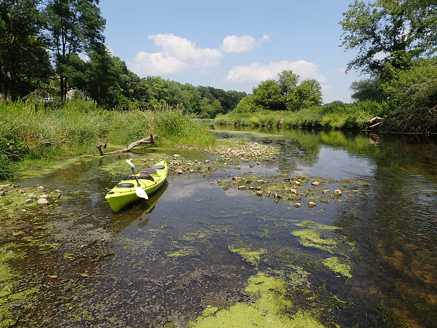
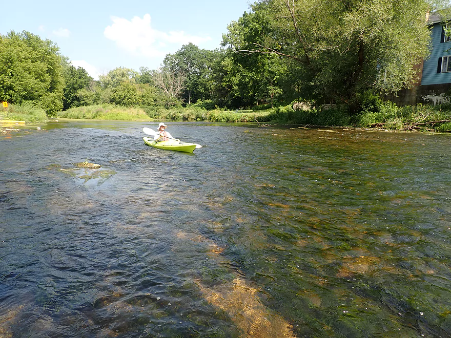
This stretch was really weedy
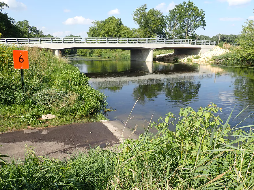
The orange signs mark the access options
Nice public access at Turtle Creek Parkway
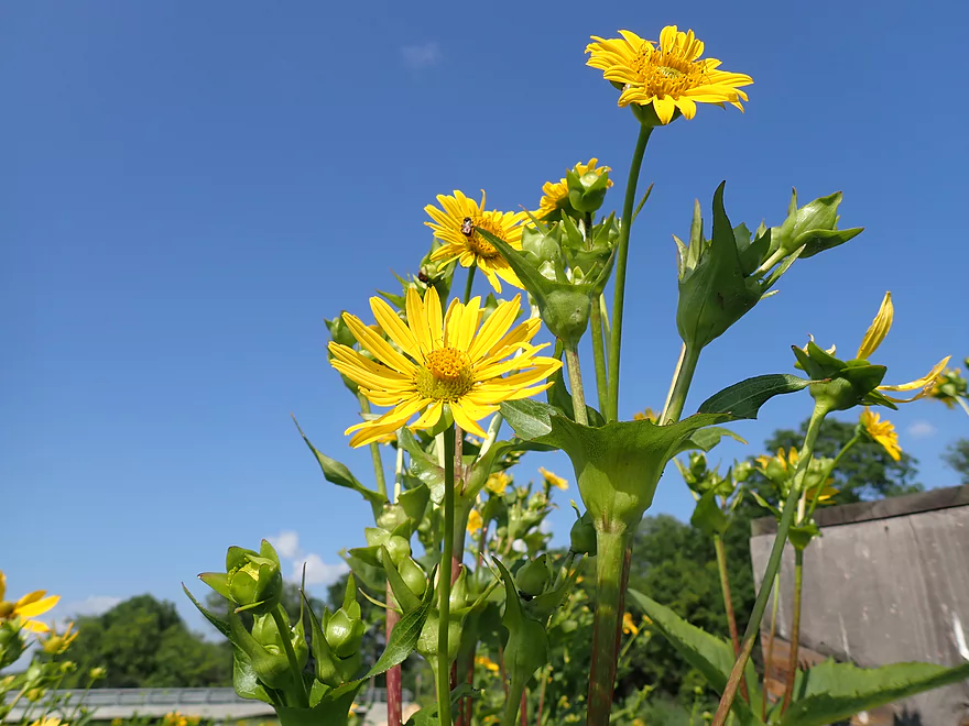
Cup plants
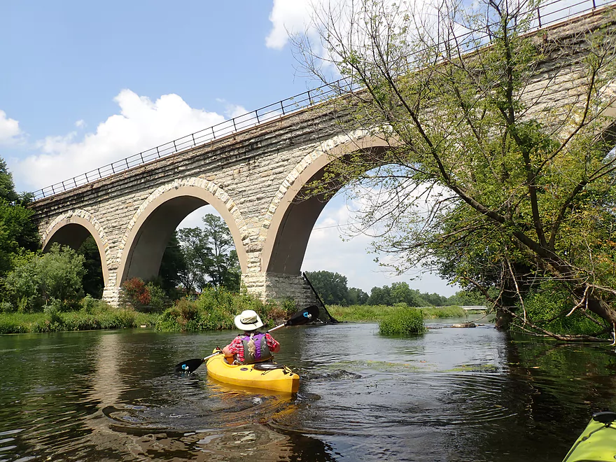
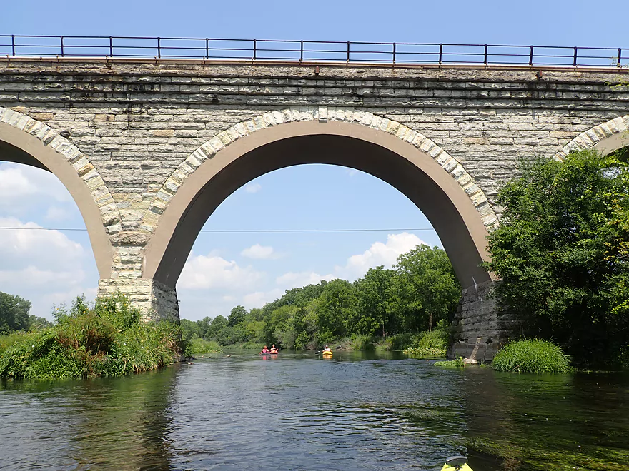
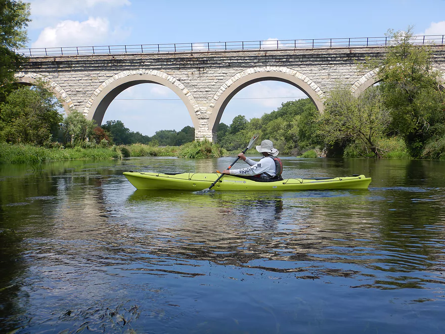
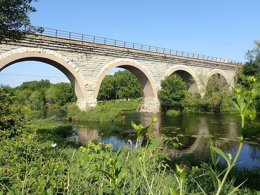
The famous Tiffany Arch Bridge
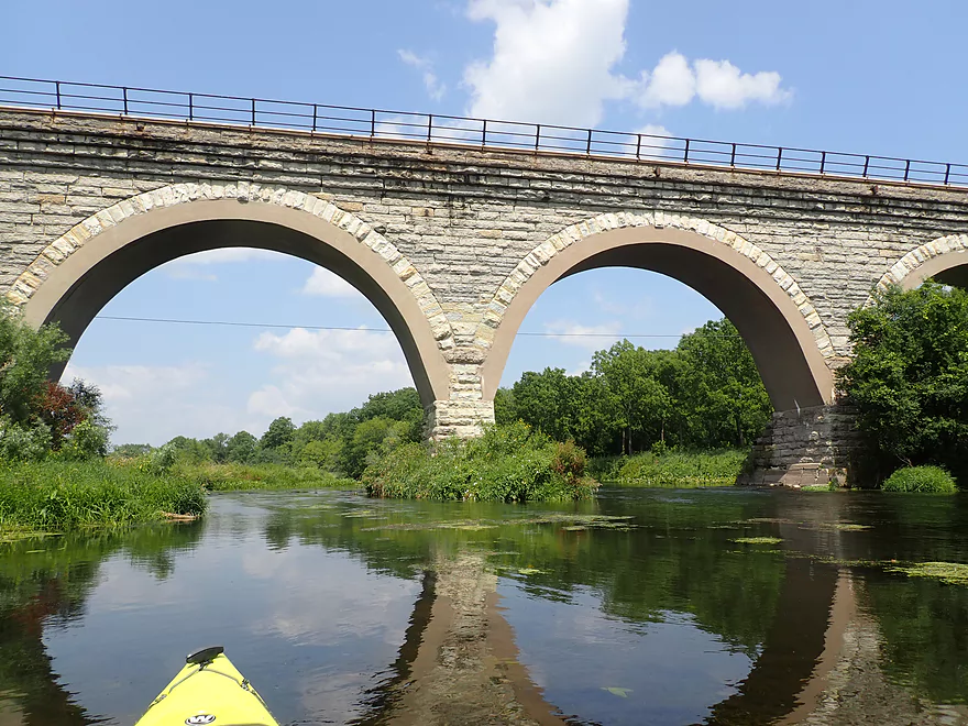
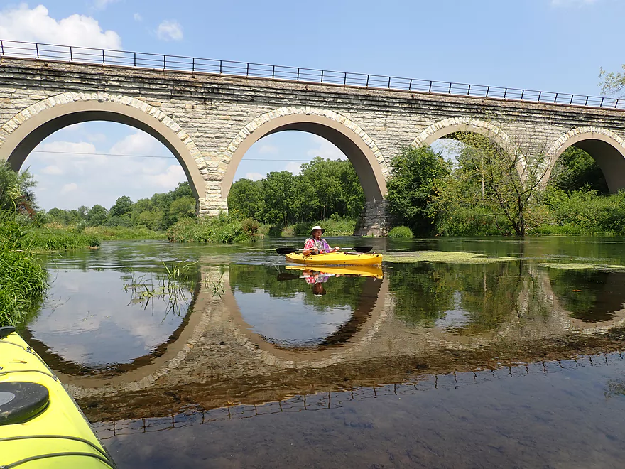
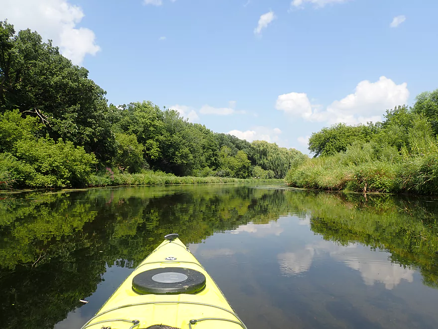
Cool reflection
More clear water
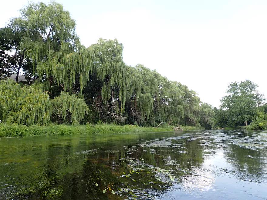
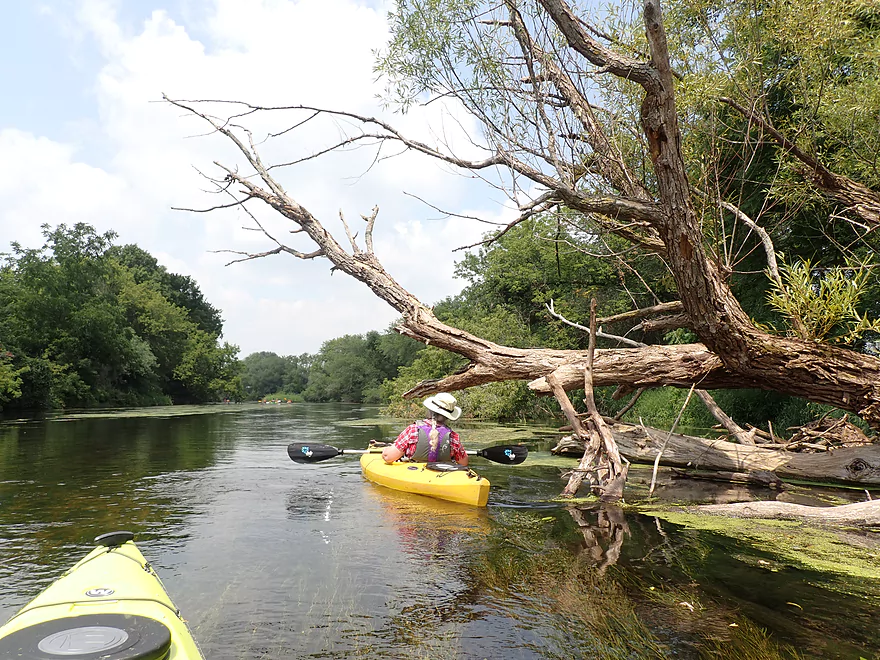
Long line of willows
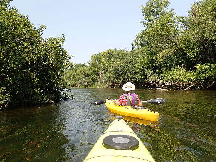
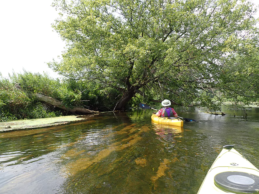
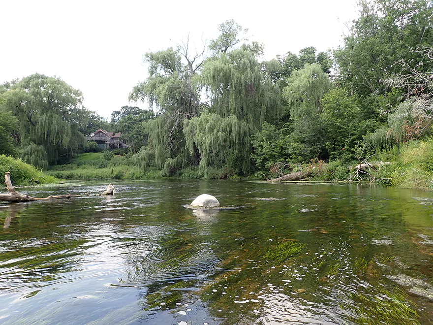
Scenic area
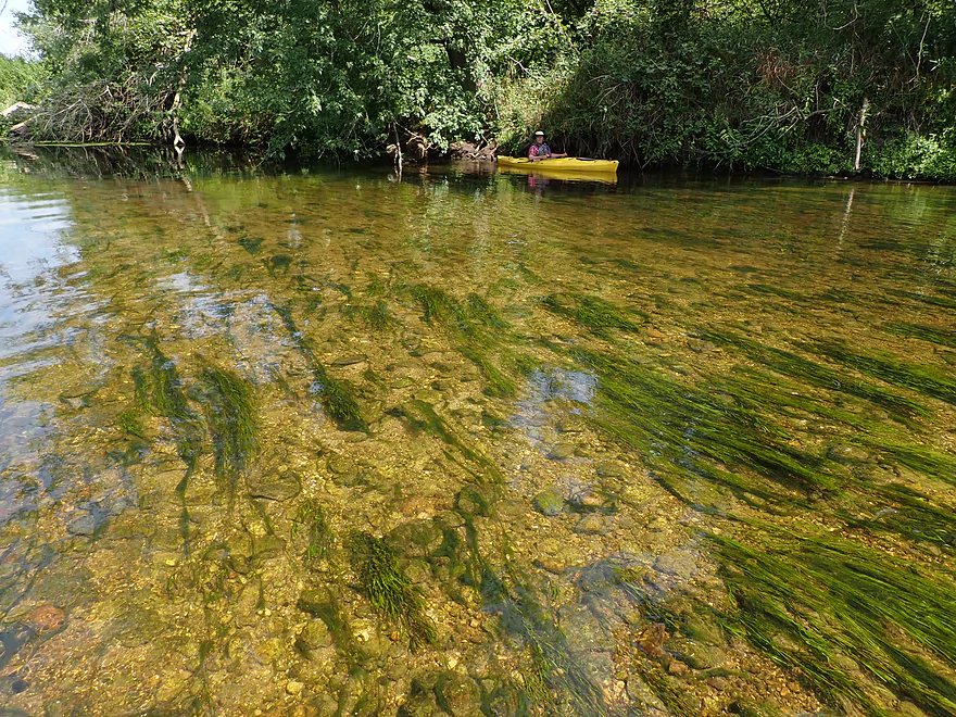
Fantastic clarity
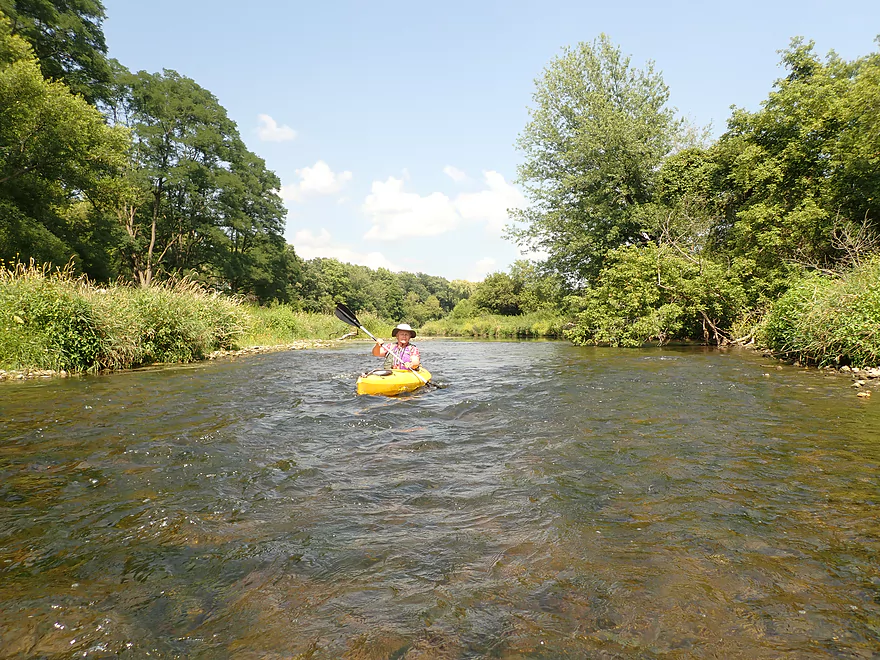
Some minor riffles
Paddling some light rapids over the remnants of the Shopiere Dam
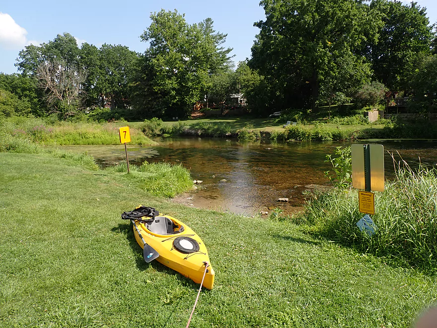
Nice take-out at Sweet Allyn Park
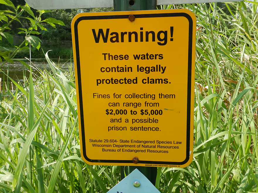
No stealing the clams!
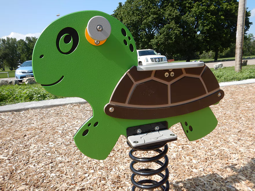
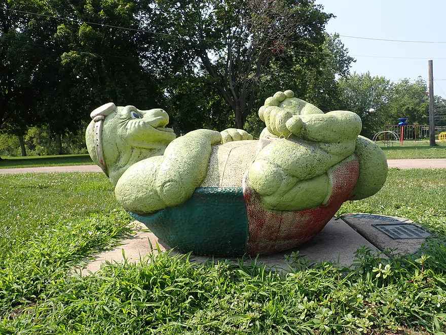
The park is filled with goofy turtles
New view from Hwy J
Turtle Creek – Tiffany


Turtle Creek is a great paddling creek located east of Beloit. Despite being called a creek, it’s really a small river and has become quite popular with area kayakers these past ten years. It has a unique character, in that much of the watershed is located along the southern end of the historic terminal moraine of the Green Bay Lobe. This has left the creek with abundant gravel which helps the creek flow fast, clear, and mostly mud free (what I dub an “Ice Age paddle”).
For our fourth trip on the Turtle, we decided to start at Hwy 140 which was a great access. There’s a cool gully adjacent to the Hwy 140 parking lot that cuts through limestone bedrock. This stairsteps down a hill, so during heavy rain I suspect it produces small waterfalls.
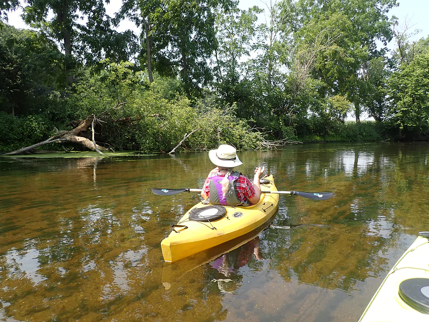
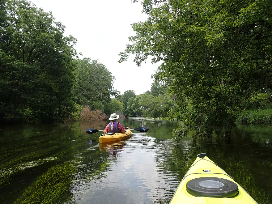
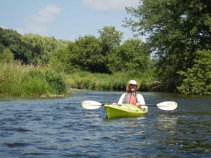
The first mile of the trip was quite nice. Unlike upstream trips that were shallow, the first few miles of this Turtle trip happened to be surprisingly deep (~3-4′), but despite this you could almost always see the gravel bottom because of the exceptional clarity. Large fish were a common sight and easy to spot from our boats. I felt like we were paddling in an oversized aquarium which was really cool. The other highlight was the fast current that kept us moving along, but was never dangerous.
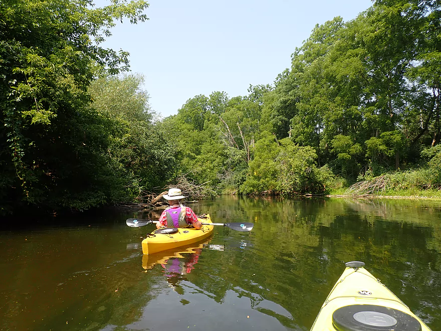
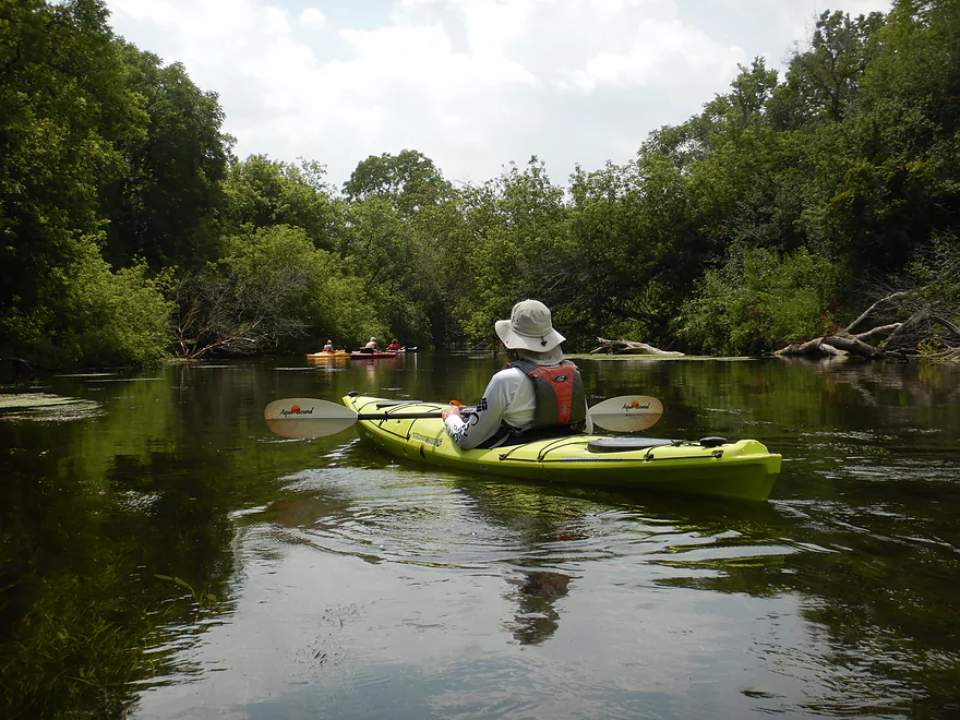
The middle portion of the trip was less interesting and where the trip lost its five star rating. The hilly banks were replaced with flat farm fields and a busy country road. The channel slowed somewhat which allowed some portions of the creek to become quite weedy. It was still navigable, but a bit annoying. I suspect nutrient pollution is entering the creek somewhere. On the plus side, there were some nice lily beds, stretches of wild rice, and a few large islands to explore.
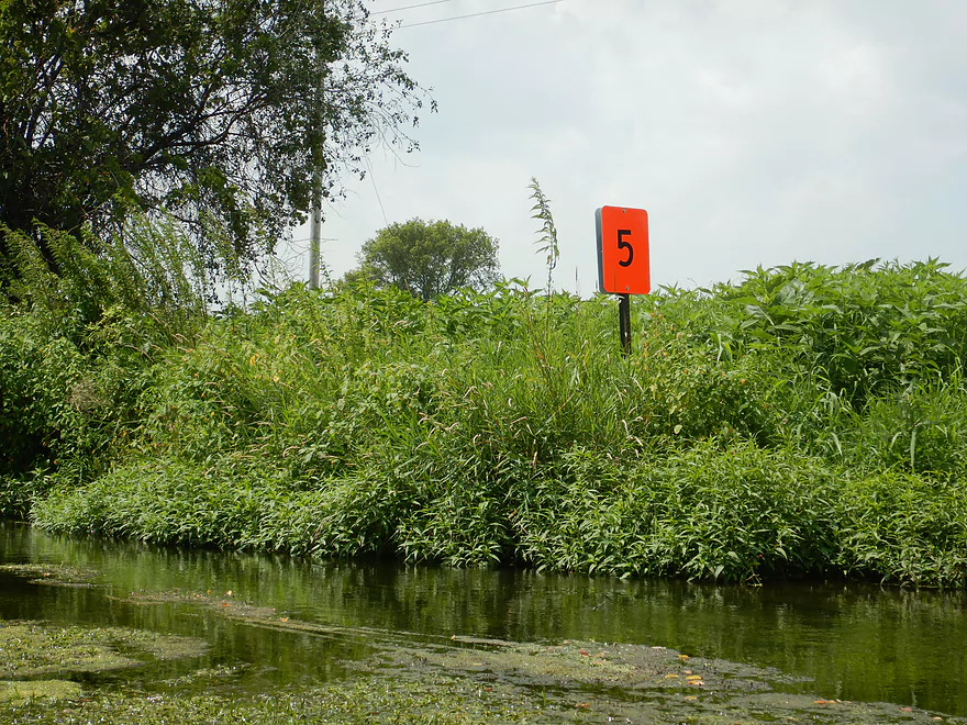
Just past Smith Road was the park “Turtle Creek Parkway”. This is a nice access option and we could have taken out here had we wanted to. This landing (like several others we saw) was marked by a large orange sign that was numbered. I suspect the county or friends group placed these signs along the river to mark access locations–kind of like how the Kickapoo numbers its many bridges.
The highlight of the entire trip though was located just downstream of the park, and this was the famous Tiffany Stone Arch Bridge. It’s a large, scenic railroad bridge that is supported by five huge limestone arches. It really is impressive and resembles a Roman Aqueduct.
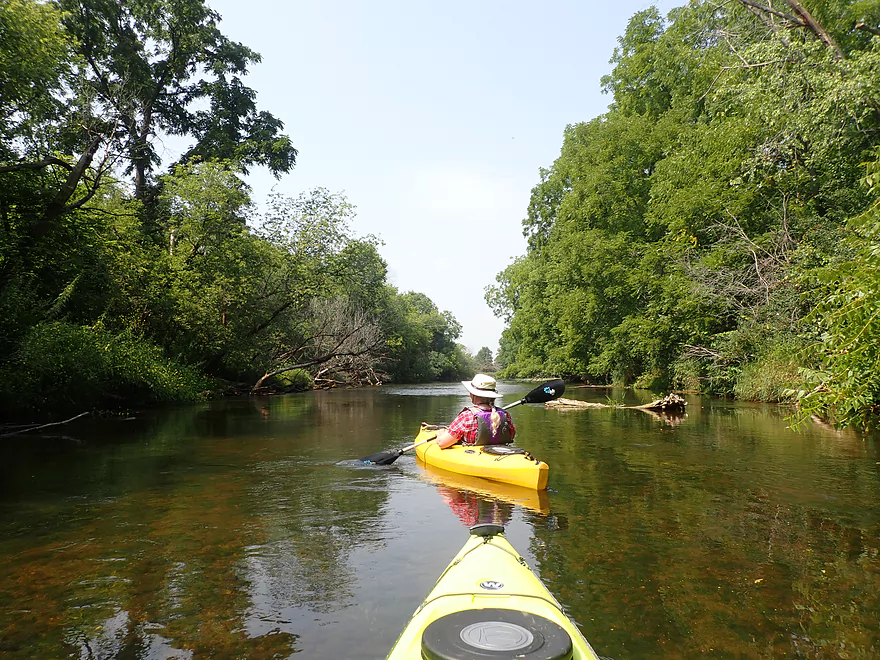
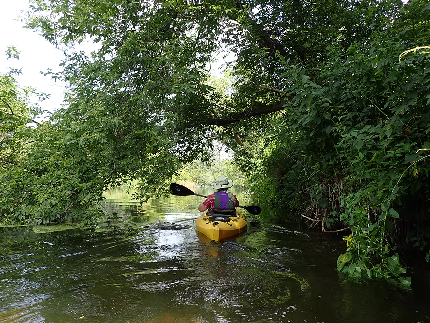
The last mile of the trip was really nice. The banks became more hilly, the current picked up, most of the weeds vanished, and we enjoyed the best clarity of the entire trip. We ended the day at Sweet-Allyn Park which was a great access. This used to be the site of the old Shopiere dam but that was removed in the year 2000.
Sights included dragonflies, clams and great blue herons. A sign at the take-out warned of a $2,000 to $5,000 fine with a possible prison sentence for collecting clams. The highlight was large schools of fish that stood out in the clear water. There were different kinds and sizes, but many appeared to be carp–all uniformly large (15 inches)–which always spooked upstream in large numbers around our kayaks. Despite the creek’s namesake, the only evidence of turtles we saw were the plastic ones at Sweet-Allyn Park.
Shopiere Dam: This was built in 1847 across from present day Sweet-Allyn park and created a 35 acre millpond. In the year 2000, the DNR ordered the dam removed for environmental reasons and because it was falling apart. This key development has made kayaking much more viable on the Turtle and helped to restore endangered clams. What’s interesting is that misguided locals fought to keep the dam because they thought it looked nice.
Tiffany Stone Arch Bridge: Located just downstream from Smith Rd is an old railroad bridge built in 1869. It’s considered one of the most impressive and unique bridges in the entire state of Wisconsin. Its intricate stonework and five large arches support the railroad trestle like a Roman aqueduct. Sadly in 1930, engineers applied concrete reinforcement to the bottom-side of the bridge which covered up some of its original character.
Hwy 140: This was a great access. There is a large public parking lot north of the creek and a trail leads down to the river. Only downside is there are no outhouses.
Alternate Put-ins:
- S. Carvers Rd (1.9 upstream of Hwy 140): S. Carvers Rd has a mowed pull-off and while it isn’t marked as public I believe the public can and does use it as an access. This leg is more wooded and hilly with several hidden limestone outcrops.
Sweet-Allyn Park: This was a terrific access. There are two launches by the creek, but the one the upstream side is nicer. Outhouses are available by the large public parking lots.
Alternate Take-outs:
- Turtle Creek Parkway (1.4 miles upstream from Sweet-Allyn Park): This is a nice park located just upstream of the scenic arched bridge. You can paddle down to the arched bridge and back if you wish. My advice though would be to continue to Sweet-Allyn Park which is a great leg.
- S. Lathers Rd (1.5 miles downstream from Sweet-Allyn Park): I’m pretty sure paddlers take out here, but parking may not be that good. This leg though is very nice.
- Town of Turtle Creek Launch (3.7 miles downstream from Sweet-Allyn Park): This is a small but nice public access. The creek between here and Sweet Allyn should be nice.
Bike Shuttle – Sweet Allyn to Hwy 140: 5.0 miles with 82′ of ascent. This would be a mediocre bike shuttle with some minor hills.
Rental/Shuttle – Paddle Adventure Club: This used to be a popular shuttle/rental business, but it was shut down this year because the owners no longer had time to run it. The business and all its kayaks are for sale at a mere $9,000. If you’ve ever wanted to start a shuttle/rental business in the Janesville/Beloit area, this would be a terrific (and likely lucrative) opportunity.
Logjams/Fences: None…the Turtle is a safe creek well suited for beginner paddlers.
Rapids: While the current often moves fast, there were only several that I would consider Class 1’s and those were super easy. Because of the gravel/sand bottom, the river mostly just sheets downhill.
Local Gauge: Carvers Rock Road @ Turtle Creek – Trip 76 CFS.
- 0-50 CFS: The creek rarely gets this low anymore. If it does, Hwy 140 to Turtle Creek Parkway should still be navigable (that’s a mostly deep stretch). The creek does get shallower after Turtle Creek Parkway though and at this low depth some wading may be required.
- 51-100 CFS: A historic average depth. This is a great target range with fantastic clarity.
- 101-150 CFS: A good depth with a lot of clear water.
- 151-250 CFS: A decent depth with some clear water.
- 251-350 CFS: The creek will still be navigable but some of its neat character will be submerged under water.
- 351-500 CFS: This is a high depth and the creek is likely viable for paddling, but it won’t be as scenic. There’s likely no clarity at this depth.
- 501+ CFS: This might be too high for enjoyable paddling.
Detailed Overview
Special thanks to Friendsofturtlecreek.com for many of these tidbits.
- Turtle Lake Boat Ramp to Turtle Lake Road: 0.8 miles. Half of this would be a lake paddle on spring-fed Turtle Lake. The other half would be over an extremely small channel that would likely require very high water to be navigable.
- Turtle Lake Road to Island Road: 3.2 miles. Artificially straightened, and perhaps requiring a few culvert portages, this marshy section would likely not be for most but could have its appeal. Google has a nice street view image of this section.
- Island Road to Dam Road: 2.5 miles. More straightened channels running through thick marshes. This could have some subtle beauty to it. An alt take-out would likely be Hwy P.
- Dam Road to North Terrace Street: 2.8 miles. For 1.5 miles the creek finally meanders naturally for the first time, but in the last mile, the creek is impounded by a dam to form Comus Lake. Take out above the dam at the public Comus Lake boat ramp.
- North Terrace Street to School Section Road: 6.3 miles. Good marsh prospect with perhaps a logjam or two. Launch below the dam but be wary of a second lowhead dam. On my to-do list.
- School Section Road to East Creek Road: 6.9 miles.
- School Section Road to Hwy 14: 2.2 miles. Great section, with terrific water clarity.
- Hwy 14 to Hwy C: 2.4 miles. A bit more weedy, but still a great section with good water clarity. Spooner Park is an alternate access.
- Hwy C to E. Creek Road: 2.2 miles. A nice section with some scenic springs.
- East Creek Road to Hwy 140: 6.8 miles.
- East Creek Road to O'Riley Landing: 1.9 miles. Good stretch with scenic wild rice.
- O'Riley Landing to S. Carvers Rock Road: 3.1 miles. Little Turtle Creek comes in and significantly increases the size of the main channel. This is still a pleasant stretch with good clarity and an attractive gravel bottom.
- S. Carvers Rock Road to Hwy 140: 1.9 miles. This stretch is more wooded and hilly. There are several hidden limestone outcrops on this leg.
- Hwy 140 to Sweet Allyn Park: 5.2 miles.
- Hwy 140 to Turtle Creek Parkway/Smith Road: 3.8 miles. A good leg with deep clear water. The latter parts are a bit weedy though.
- Turtle Creek Parkway to Sweet-Allyn Park: 1.4 miles. A more shallow, but terrifically scenic stretch with fantastic clarity. The highlight is a historic five arch stone bridge.
- Sweet-Allyn Park to S. Lathers Road: 1.5 miles. Likely a nice prospect. The take-out at S. Lathers Road is good and used by paddlers…but vague No Parking signs don’t make it clear where you can park.
- S. Lathers Road to Town of Turtle Creek Canoe Launch: 2.2 miles. Likely a nice prospect.
- Town of Turtle Creek Canoe Launch to Milwaukee Road/Turtle Creek Greenway Trail: 5.5 miles. A nice trip through the Turtle Creek floodplain and outskirts of Beloit with occasional riffles, an attractive gravel bottom, and lush jungle-like vegetation.
- Milwaukee Road to Colley Road: 0.4 miles. Good prospect.
- Colley Road to Turtle Creek Park: 1.6 miles. Good prospect. Take-out is west of Dearborn Street. Disembark north of the creek and park to the west. Bank is a bit steep here. A nicer launch is south of the creek by Turtle Tap. Turtle Tap is private, but supposedly there is a strip of public land you can use to launch from.
- Turtle Creek Park to Dickop Street: 1.0 mile. A very good prospect.
- Dickop Street to John Jose Canoe and Kayak Launch: 0.8 miles. A final short section on Turtle Creek, then a paddle upstream on the Rock River to reach a take-out.
Trip Map
Overview Map
Video
Photos Size:
We paddled from O’Riley Rd. to Sweet-Allyn Park on 10July2024 at about 255 CFS on the Carver’s Rock gauge. About 4 hours to paddle 9.75 miles, including a stop for lunch at the Hwy. 140 bridge.
We liked this water level because you didn’t have to worry about scraping or avoiding gravel bars. As always, one needs to pay attention to avoid strainers along the shore, especially at higher flows. Strainers had debris a few feet up in their branches – evidence that flows had spiked at 400+ and 900+ CFS within the last 3 weeks: https://waterdata.usgs.gov/monitoring-location/05431486/#parameterCode=00060&period=P21D&showMedian=false
Notable wildlife: Lots of herons (both green and blue), cedar waxwings, and a whitetail fawn in the creek. And the Tiffany stone arch bridge is always scenic: https://photos.google.com/photo/AF1QipPKLcaQ74M9LejADsyK4COWT_SN0D_QU7e9xjr1
I appreciate the update. Note the photo album link didn’t work? Maybe the permissions weren’t set to public.