
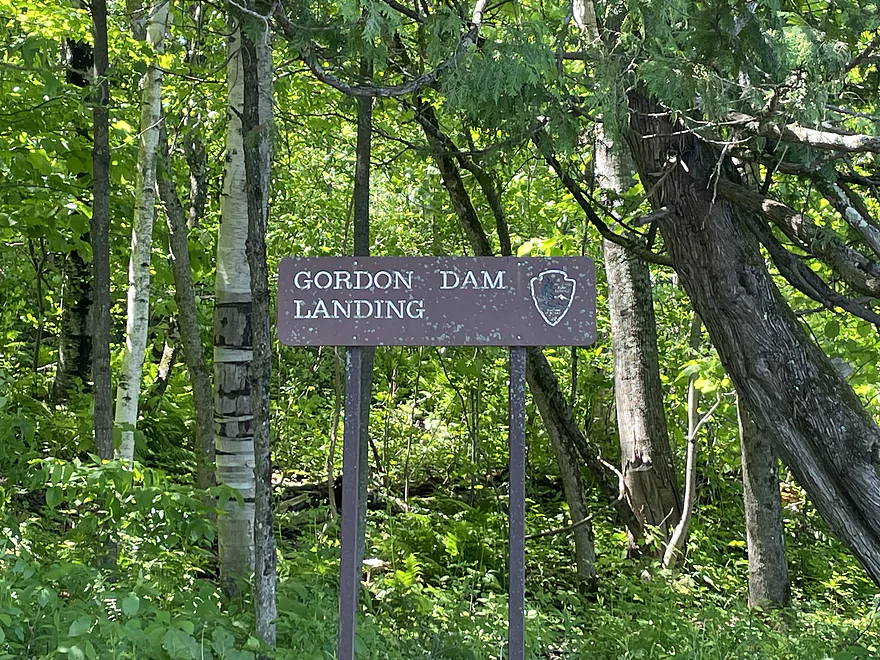
Put-in at the Gordon Dam Landing

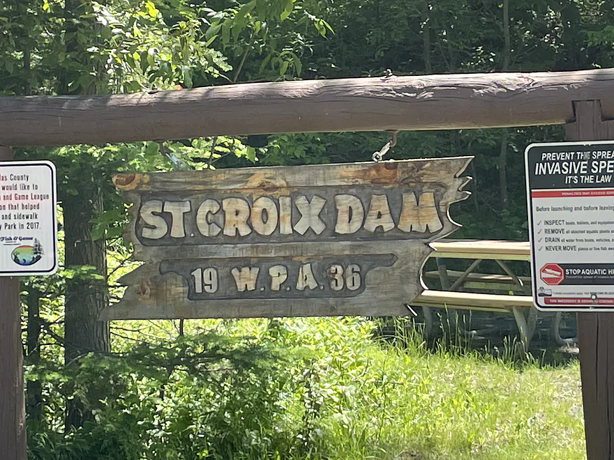
Gordon Dam
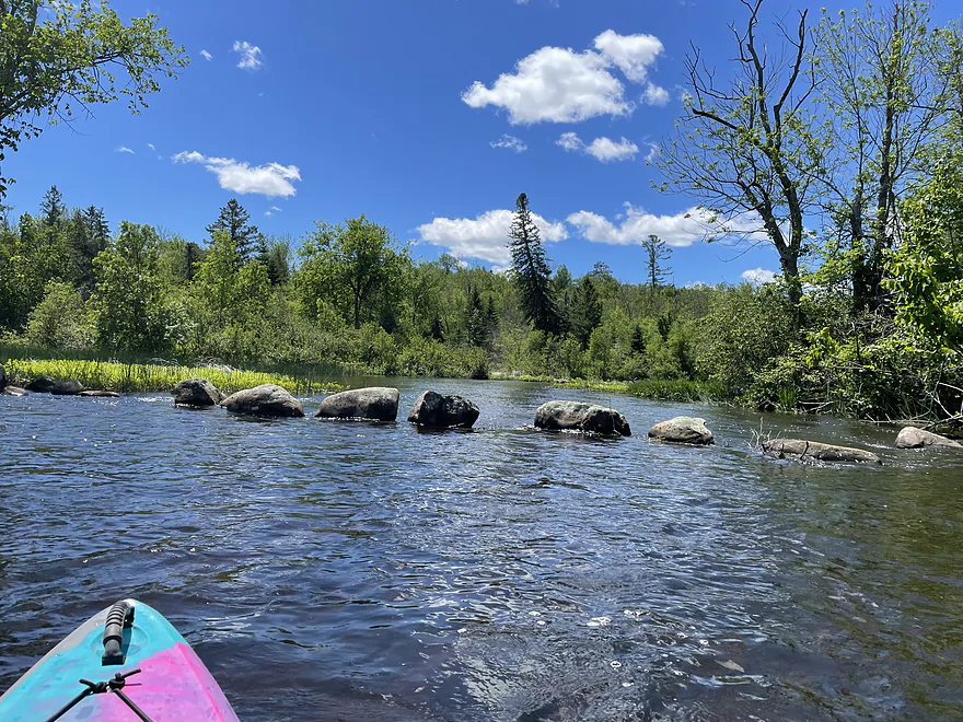
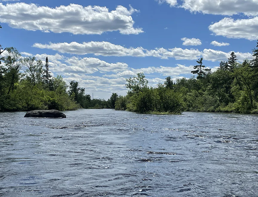
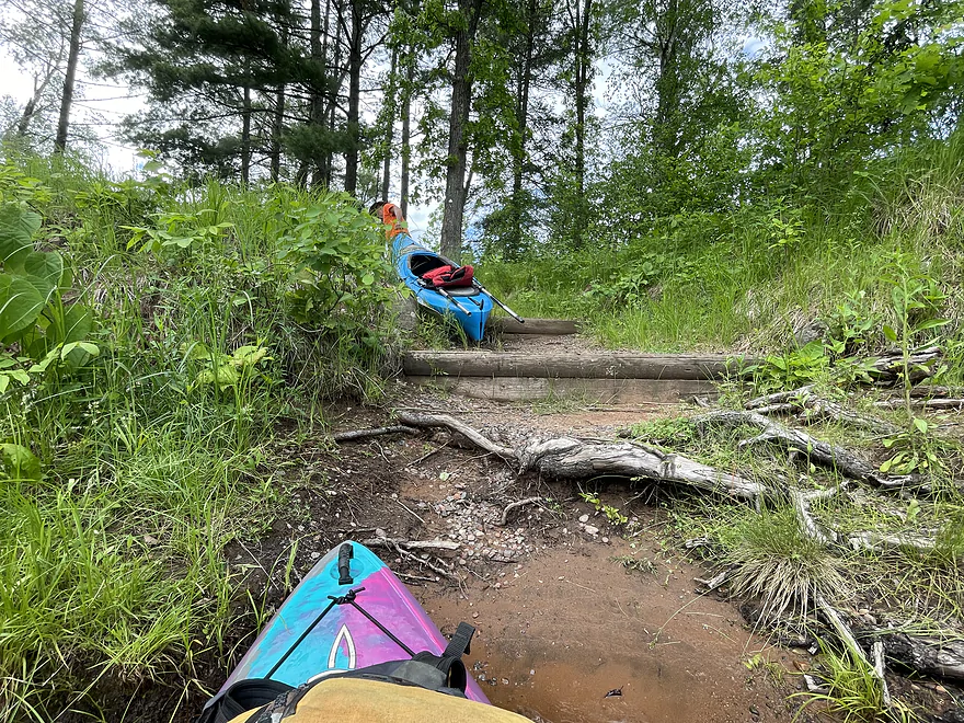
Scott Chute
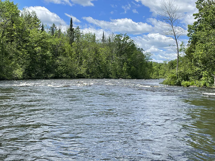
Scott Rapids
Scott Rapids
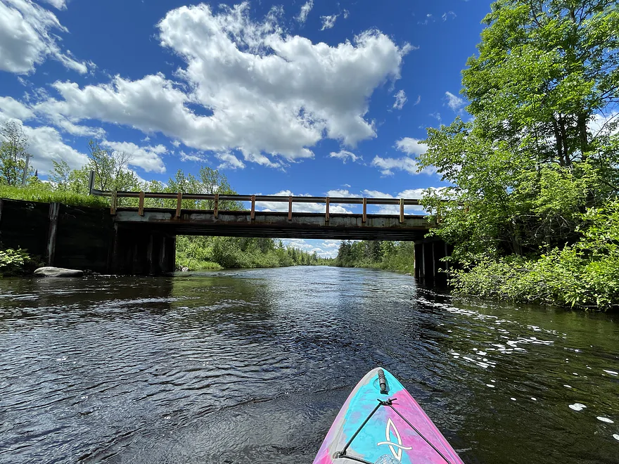
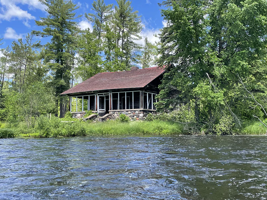
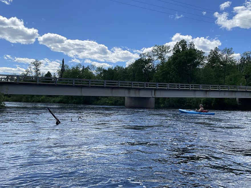
Scott Bridge
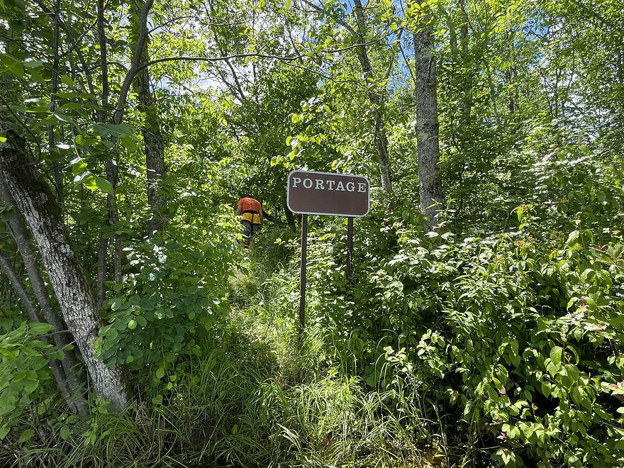
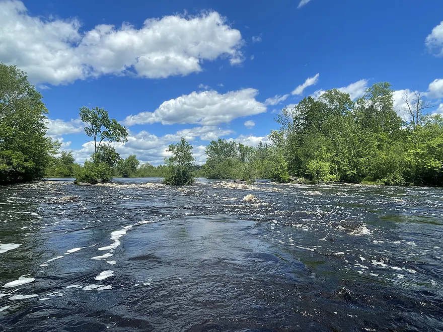
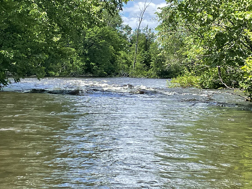
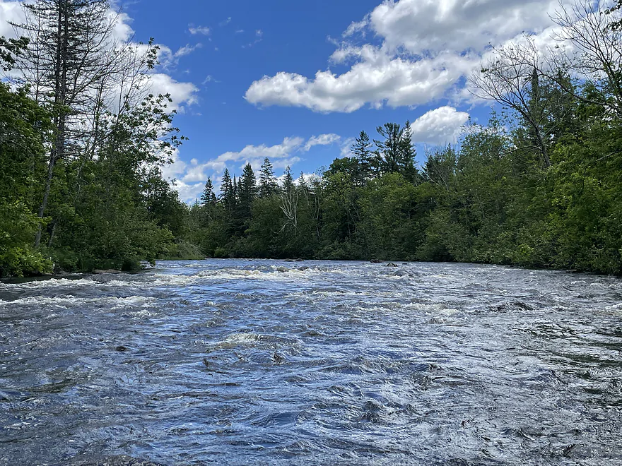
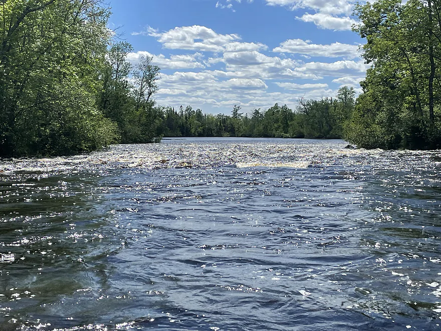
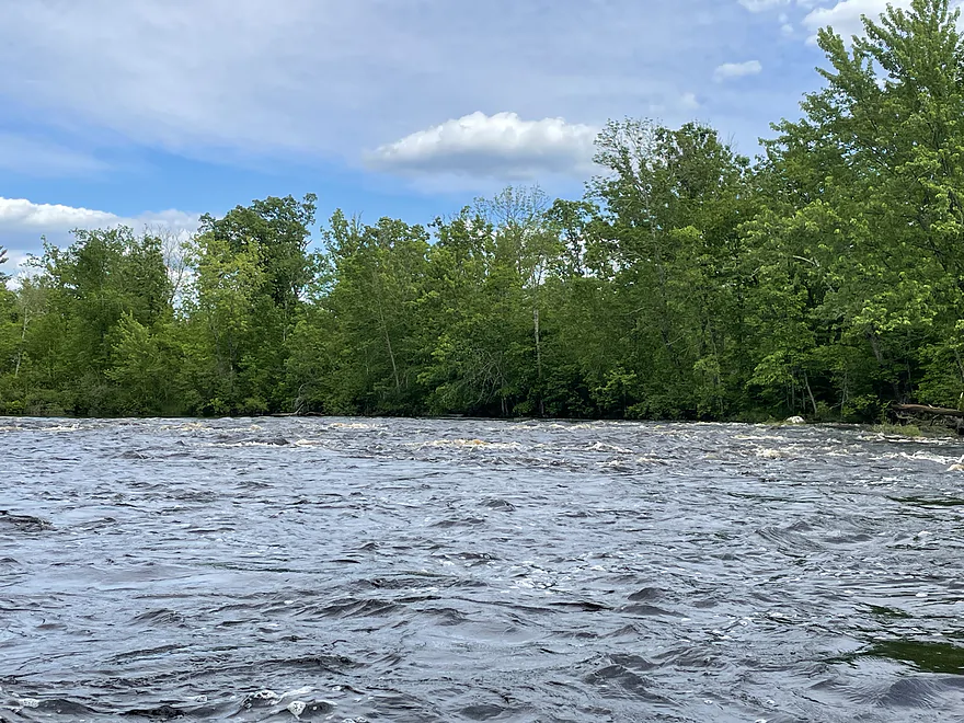
Coppermine Dam Rapids
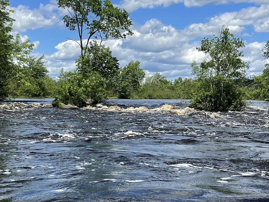
Coppermine Dam Rapids
Shelldrake Rapids
Cty T
Bear Trap Rapids
Bear Trap Rapids
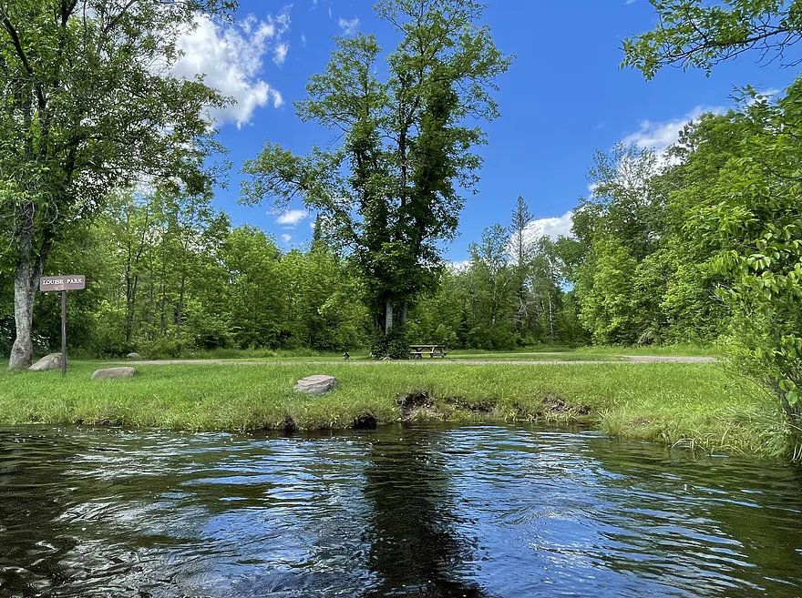
Louise Park
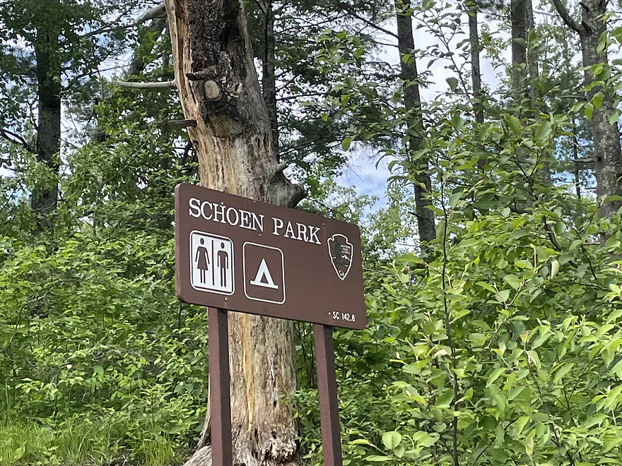
Taking out at Schoen Park
St Croix River – Gordon Dam to Schoen Park


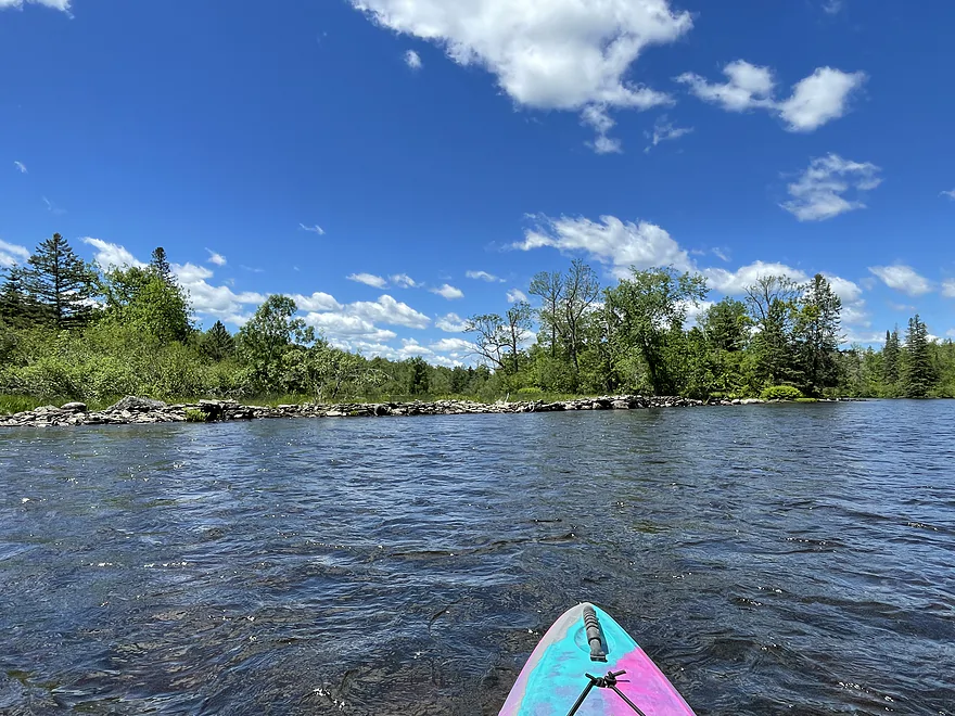
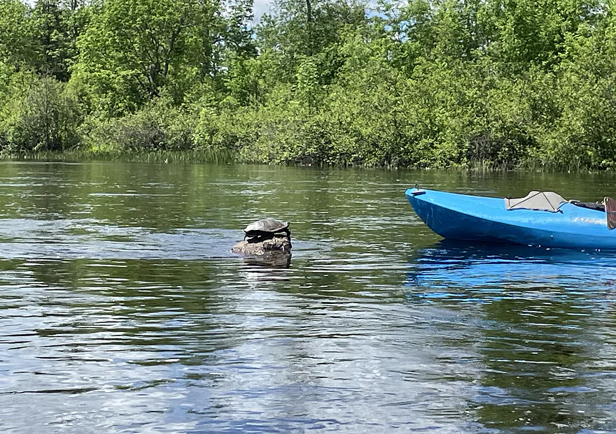
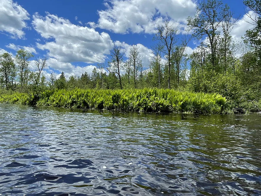
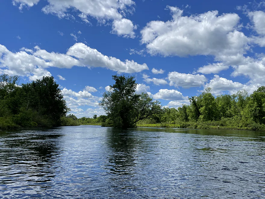
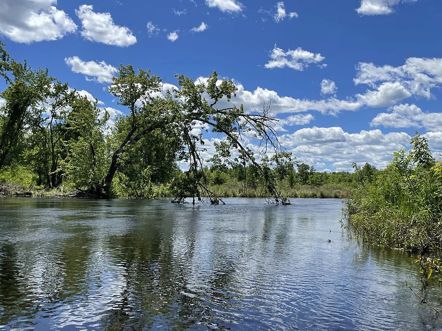
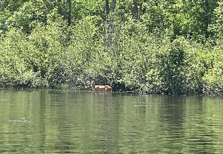
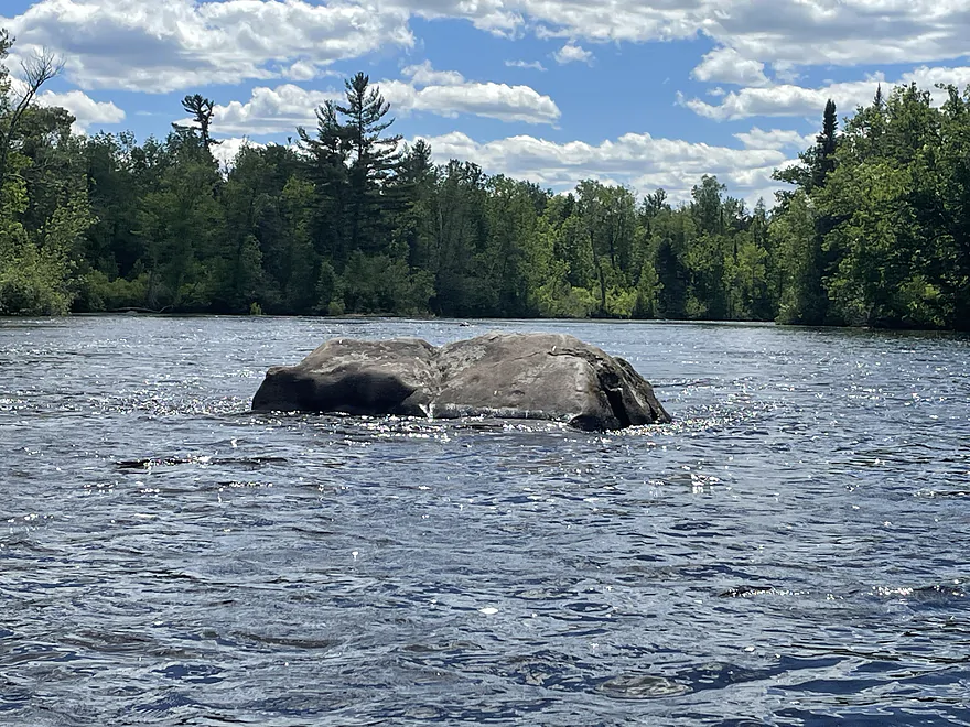
This is a wonderful north woods paddle with beautiful scenery, plenty of wildlife and multiple riffles and Class I rapids. This section could certainly be difficult with lower water levels later in the year but thanks to recent heavy rains the river was flowing nicely! The gauge at Danbury (30+ river miles to the south) was flowing at 3730 cfs, an excellent flow rate.
The landing at Gordon dam is very nice with lots of parking, toilets and an easy ramp down to the water. Within the first hour you come to a series of rapids including Scott Chute (definitely getting wet here) and Scott Rapids.
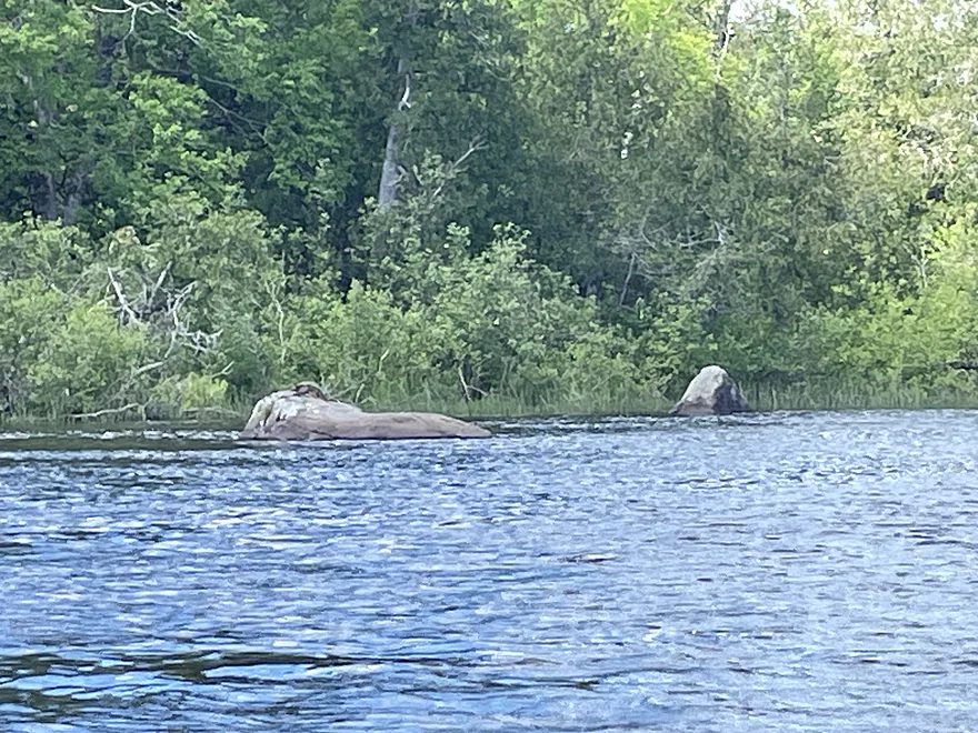
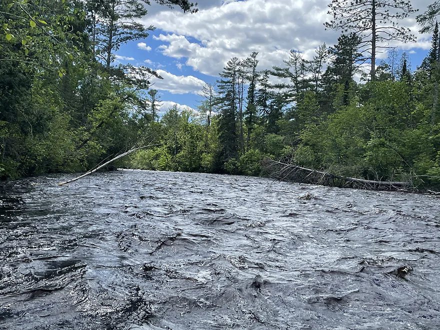
For the next 4.5 miles there are no major rapids until you hear the roar of the Coppermine Dam Rapids, a Class II drop for sure. Coppermine has four distinct chutes, the eastern chute is not runnable because of debris. The DNR website does not recommend running these because of submerged spikes but to portage instead. I decided to have a go at it and ran the right-center chute where I encountered a large wave at the bottom that would have certainly filled my Katana if it were not for my spray skirt! The portage is relatively easy, however the swarms of mosquitoes made it unbearable.
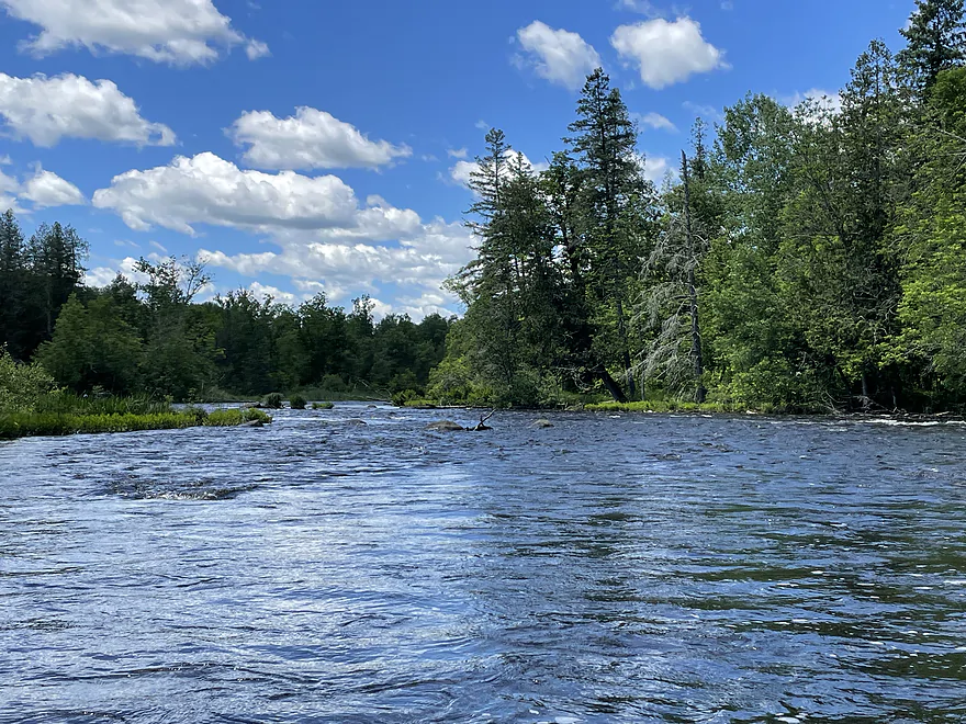
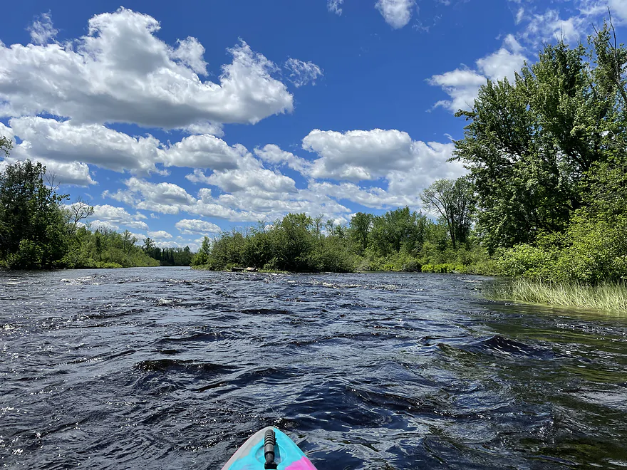
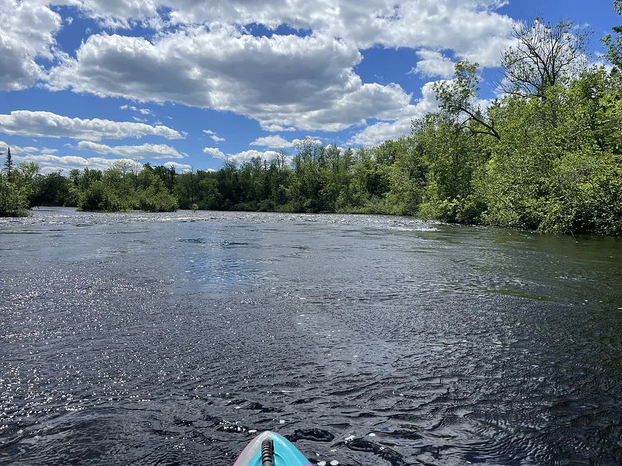
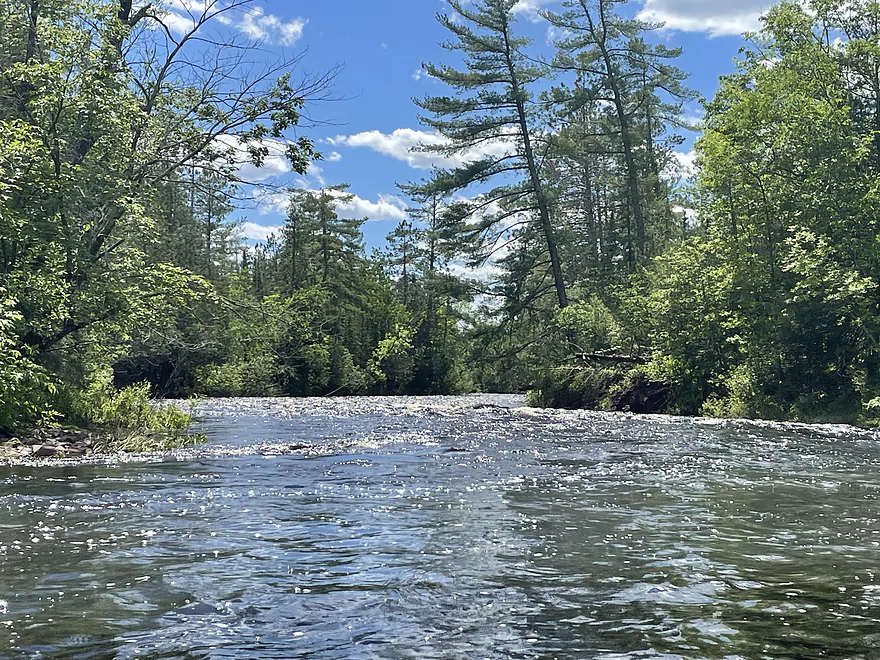
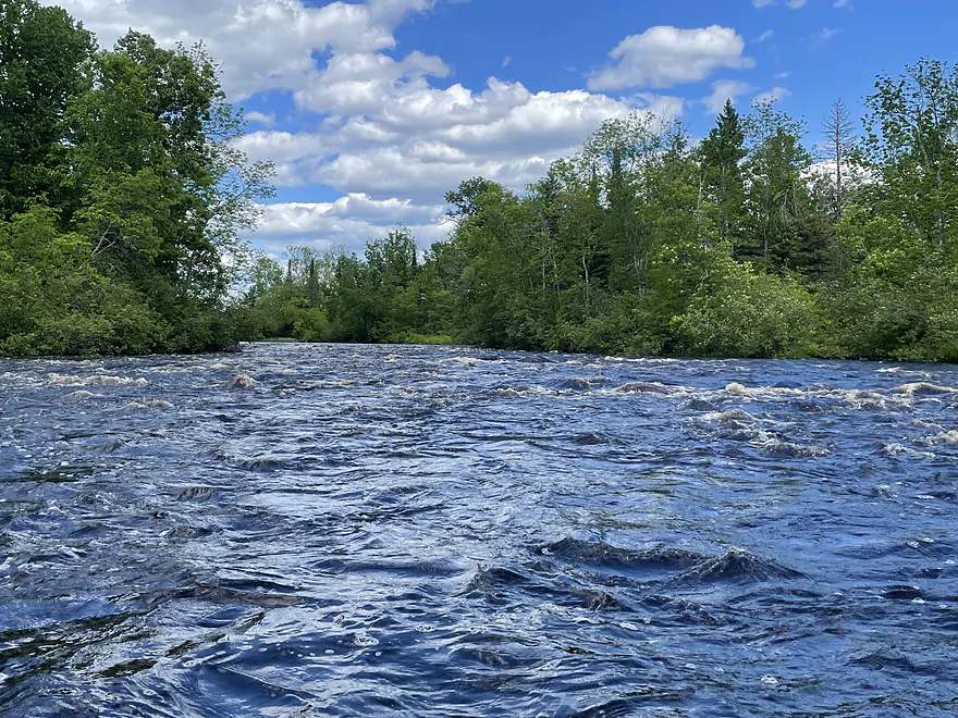
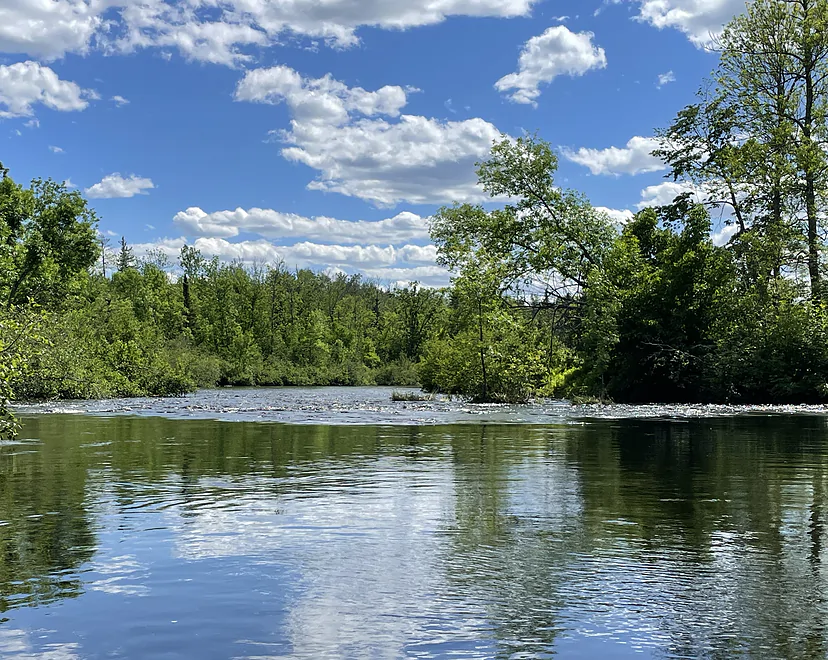
The rest of the trip was good splashy fun with many riffles to Class I rapids, including a very frisky set of rapids with a right hand turn just before the take-out at Schoen Park. There are several options for shorter trips but with the way the river was flowing we decided on the 12.2 mi run that took us just under 4 hours.
Thanks Don for the review! WisconsinRiverTrips.com is always very appreciative of guest reviews, and if you the reader is ever interested in submitting one, you can use this online form.
- Gordon Dam to Schoen Park: 13.0 miles.
- Gordon Dam to Empire Landing: 5.9 miles. A few Class 1 rapids and one Class 2.
- Empire Landing to Hwy T Landing: 3.8 miles. At least one Class 2 and three Class 2’s. Maybe more.
- Hwy T Landing to Louise Park: 1.1 miles. Multiple Class 1’s and one Class 2.
- Louise Park to Schoen Park: 2.1 miles. Maybe 6 pitches of Class 1 rapids.
- Schoen Park to Dry Landing: 1.0 miles. Maybe 2 pitches of Class 1 rapids.
- Dry Landing to CCC Bridge: 3.1 miles. One Class 2 and a few Class 1’s.
- CCC Bridge to Riverside Landing: 7.5 miles. Maybe 6 pitches of Class 1 rapids. River grows significantly with the addition of the Namekagon.
- Riverside Landing to Pansy Landing: 4.0 miles. One set of class 2 rapids. From here on, the St Croix serves as a border between Minnesota and Wisconsin.
- Pansy Landing to Yellow River Landing: 5.0 miles.
- Yellow Landing to Lower Tamarack Landing: 3.5 miles.
- Lower Tamarack Landing to Thayers Landing: 1.5 miles.
- Thayers Landing to Little Yellow Banks Landing: 7.6 miles.
- Little Yellow Banks Landing to St. Croix State Park Landing: 2.8 miles.
- St. Croix State Park Landing to Sand Creek Landing: 4.1 miles.
- Sand Creek Landing to Norway Point Landing: 0.6 miles.
- Norway Point Landing to Nelson’s Landing: 2.8 miles.
- Nelson’s Landing to Head of the Rapids Landing: 1.1 miles. One set of Class 1 rapids.
- Head of Rapids Landing to Snake River Landing/Soderbeck Landing: 7.6 miles. The St. Croix splits into a very long island formed by the confluence of the Kettle River leaving paddlers with a choice. The east channel will have more/stronger rapids and more landing options. Both channels contain Class 2 rapids. This is a nice stretch of the river.
- Head of Rapids Landing to Fox Landing (East Channel): 1.6 miles. One Class 2 and multiple Class 1 rapids. Scenic stretch.
- Fox Landing (East Channel) to Snake River Landing/Soderbeck Landing: 6.0 miles. Multiple Class 2 rapids. Scenic stretch.
- Snake River Landing/Soderbeck Landing to Sandrock Cliff Campground Access: 2.5 miles. Includes nice sandstone cliff at the end of the leg.
- Sandrock Cliff Campground Access to Hwy 70 Landing: 1.6 miles.
- Hwy 70 Landing to Raspberry Creek Landing: 1.3 miles. One set of Class 1 rapids.
- Raspberry Creek Landing to Stevens Creek Landing: 3.8 miles. A few light riffles.
- Stevens Creek Landing to Old Railroad Bridge Landing: 2.6 miles.
- Old Railroad Bridge Landing to Rush City Ferry Landing: 1.9 miles.
- Rush City Ferry Landing to Sunrise Landing: 8.6 miles.
- Sunrise Landing to Nevers Dam Landing: 8.5 miles.
- Nevers Dam Landing to Wild River Landing: 1.1 miles.
- Wild River Landing to Lions Park: 8.6 miles.
- Lions Park to St. Croix Falls Dam: 1.0 miles. Likely a boring flowage paddle. I think you can launch/portage west of the dam but am not sure. There might be a troublesome fence.
- St. Croix Falls Dam to North Campground: 0.7 miles. Nice stretch but put-in access can be difficult. By Hwy 8, I believe you can launch at the covered bridge/Casey’s instead of the North Campground.
- North Campground to Hwy 8 Wayside: 0.3 miles. Incredibly scenic section with large rock walls. There are Class 2/3 rapids downstream from the Hwy 8 bridge that should be scouted before any run. If you use the Hwy 8 Wayside as a launch be careful not to block tour boat customers as they also use the launch here.
- Hwy 8 Wayside to Park Road Access: 0.6 miles. Stretch goes through the Dalles of the St Croix and features impressive rock walls. This is the best and most scenic leg on the river. There are some Class 1-2 rapids below the Hwy 8 Access.
- Park Road Access to Interstate State Park: 0.5 miles.
- Interstate Park to William O’Brien State Park Landing: 15.4 miles.
- Interstate Park to Franconia Landing: 2.3 miles. Multiple bluffs, rock formations and beaches.
- Franconia Landing to Osceola Landing: 3.8 miles. More sandy with some smaller outcrops.
- Osceola Landing to Log House Landing: 7.4 miles. Good scenery with large bluffs, shore-side springs, nice rock outcrops and an old swing bridge.
- Log House Landing to William O’Brien State Park Landing: 2.3 miles. Not as many highlights, but still some nice outcrops.
- William O’Brien State Park Landing to Somerset Landing: 0.9 miles.
- Somerset Landing to Rice Lake Road Landing: 3.1 miles. Highlights include a large collection of islands and side channels to explore. Shoreline development starts to become more common from here on.
- Rice Lake Road Landing to Twin Springs Park: 8.2 miles. Probably not a super interesting stretch, but does include more islands and side channels to explore.
- Twin Springs Park to Boom Site Landing: 0.7 miles.
- Boom Site Landing to Bayport Launch: 5.4 miles. A busy, developed stretch of the river that is very wide. Likely not good for kayaking, although there is a cool historic lift bridge on this leg.
- Bayport Launch to Buckeye Street Ramp: 4.3 miles. Likely too big for enjoyable paddling.
- Buckeye Street Ramp to The Cove Boat Ramp: 4.8 miles. Likely too big for enjoyable kayaking. River gets to be over 1.4 miles wide.
- The Cove Boat Ramp to St. Croix Bluffs Regional Park Boat Ramp: 9.4 miles.
- St. Croix Bluffs Regional Park Boat Ramp to Point Douglas Park/Mississippi: 3.7 miles.
Trip Map
Overview Map
Photos Size: