
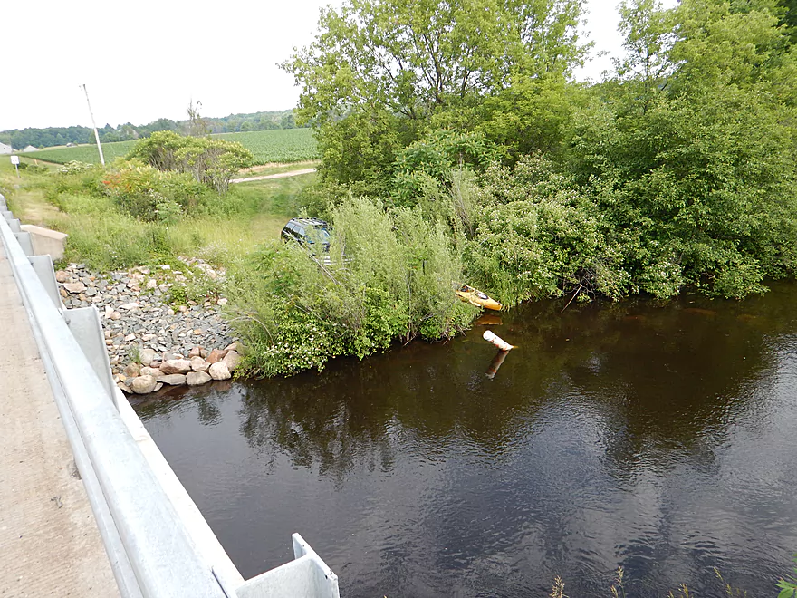
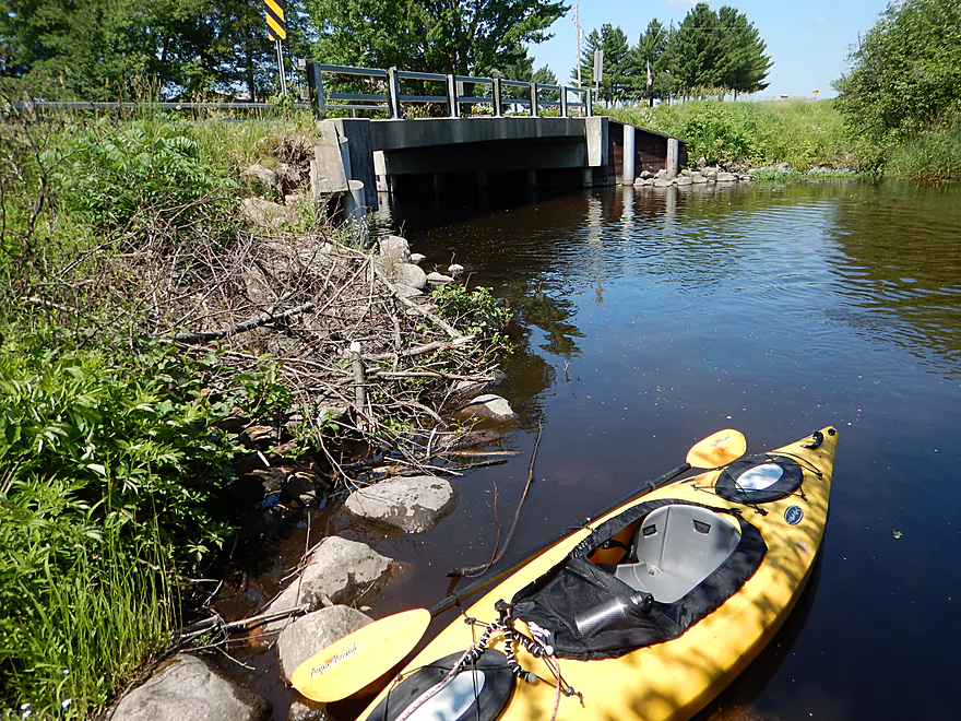
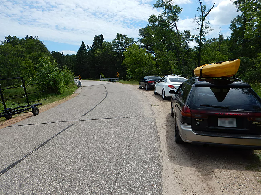
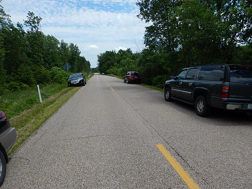
Putting in at Hwy 153
Nice launching area
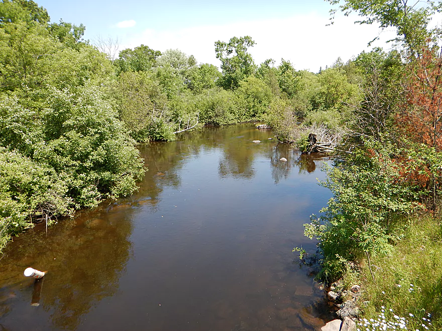
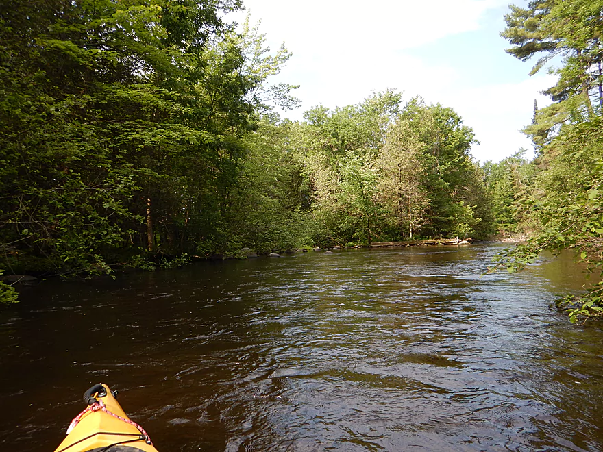
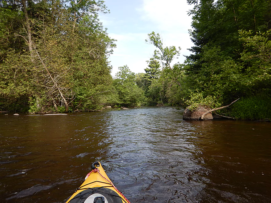
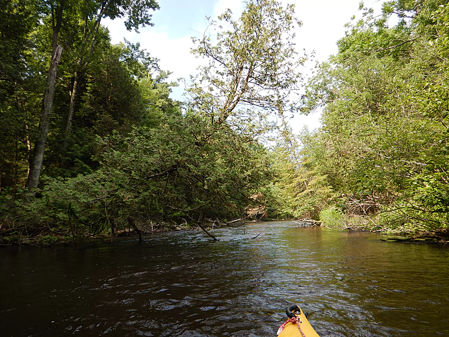
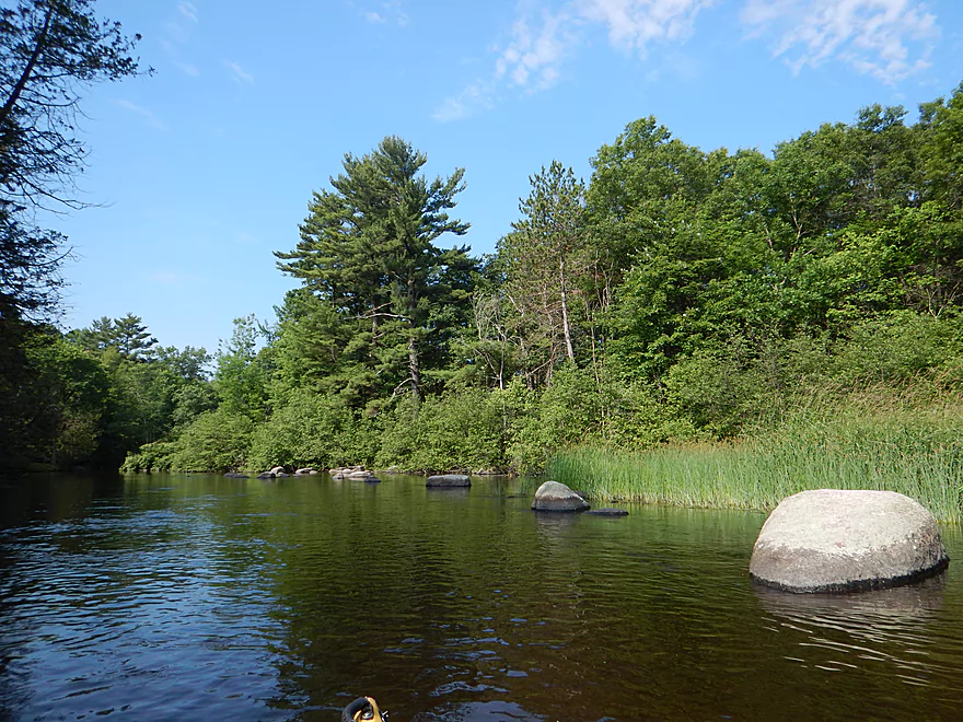
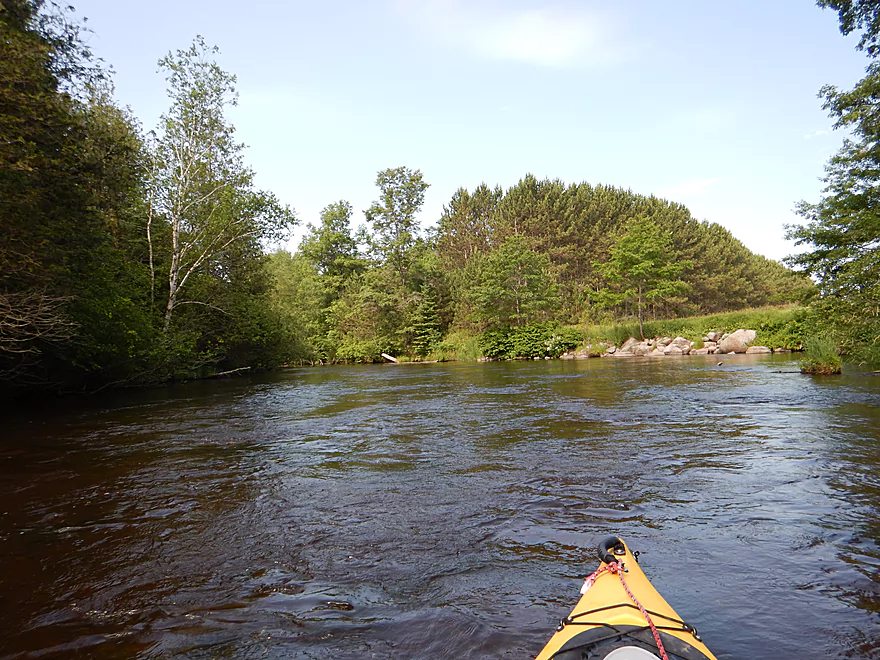
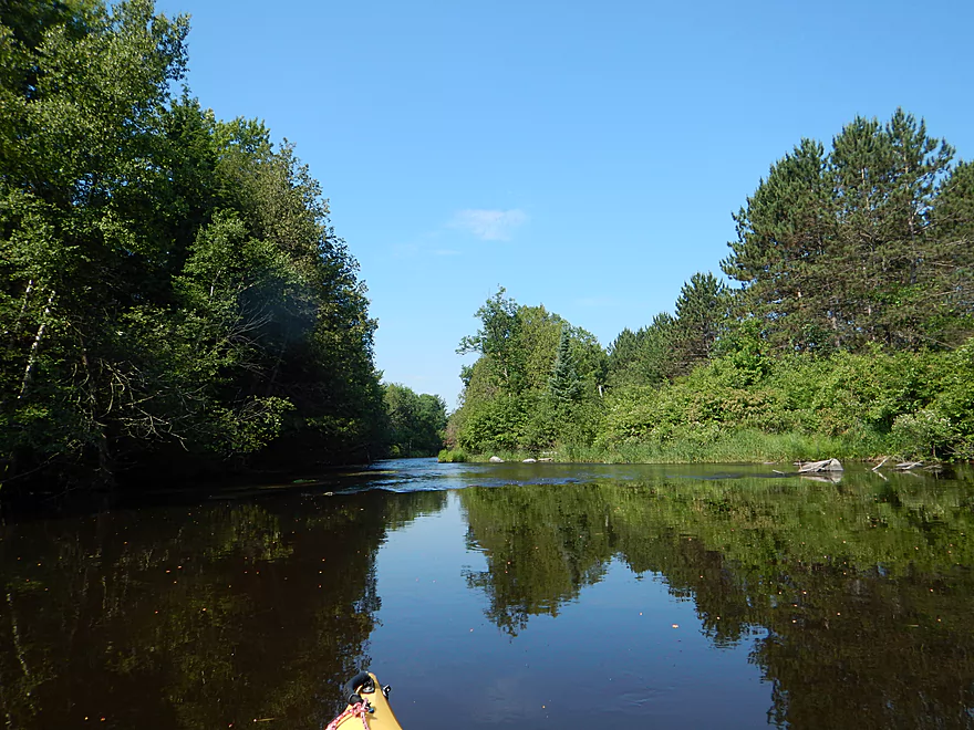
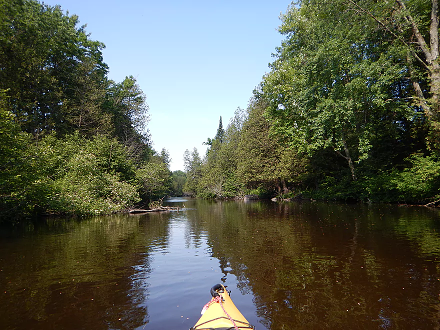
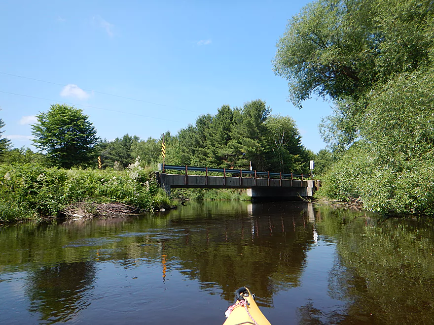
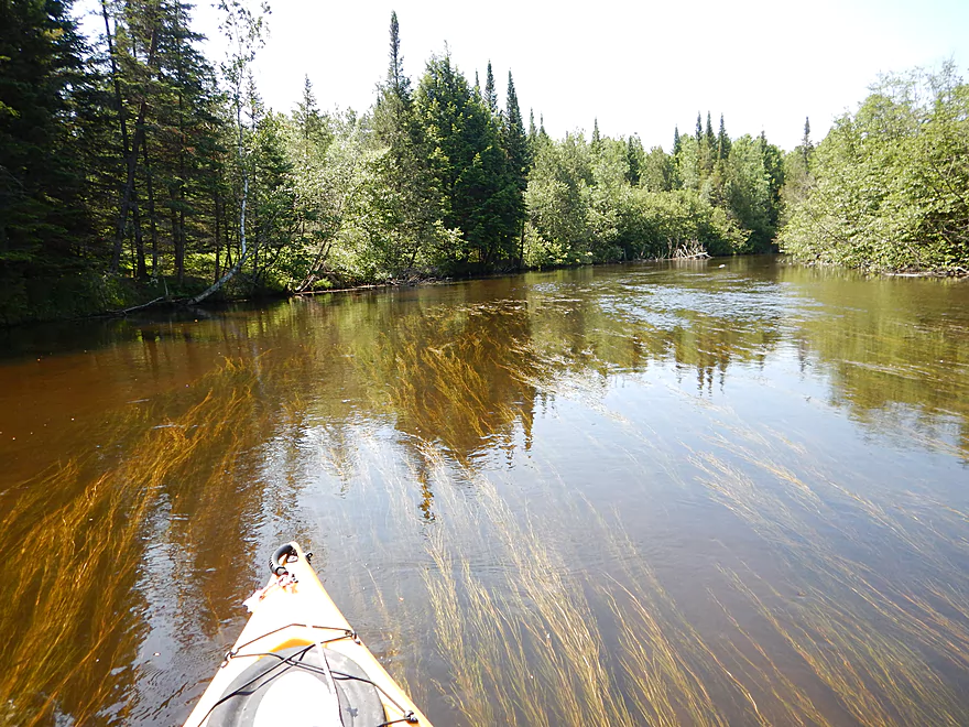
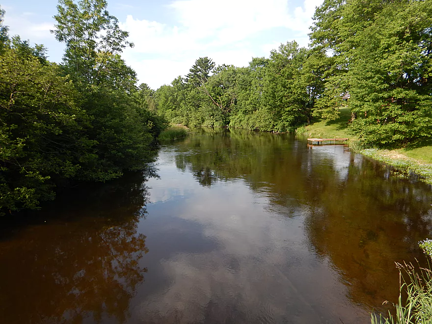
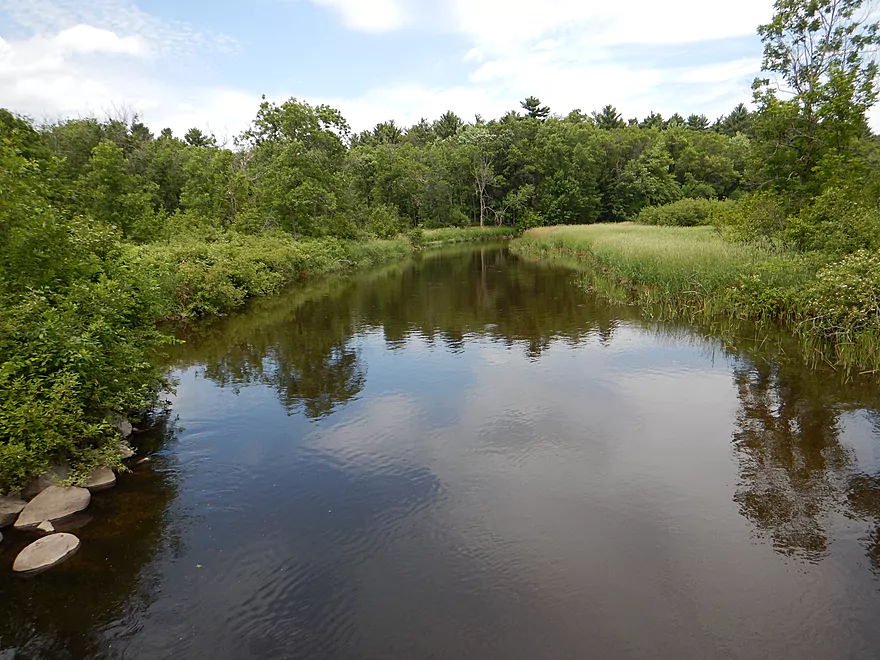
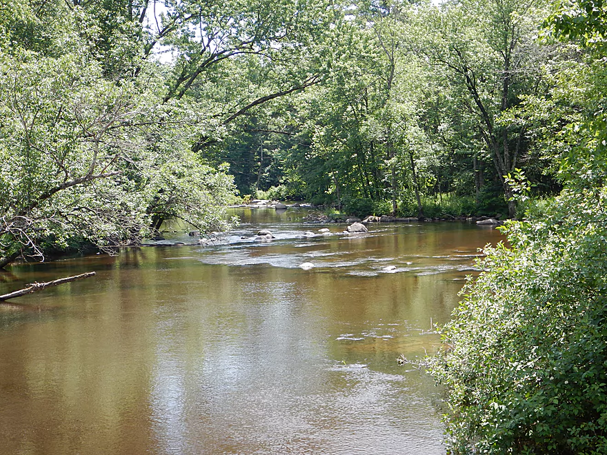
Looking upstream
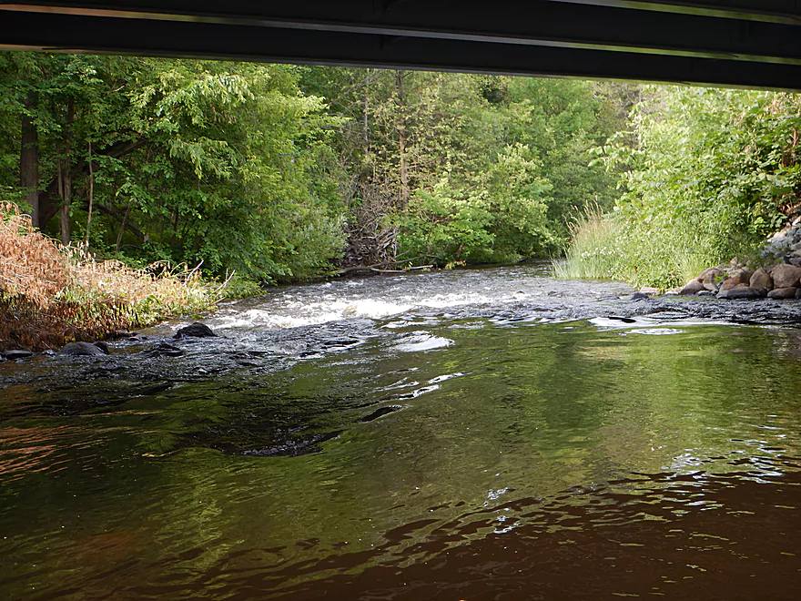
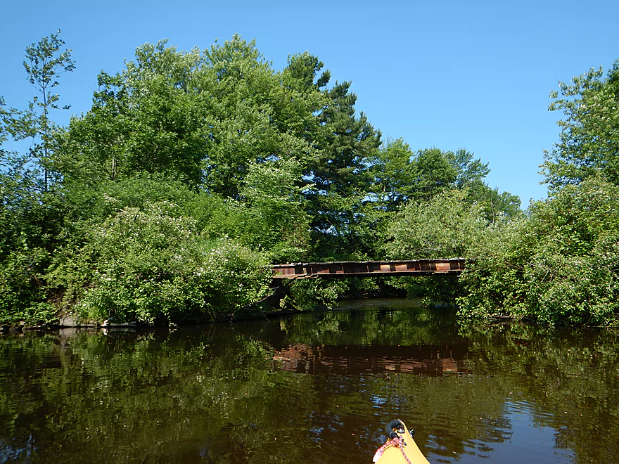
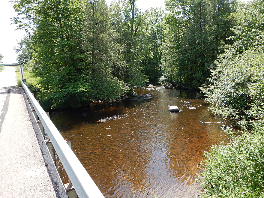
There are rapids directly under the bridge
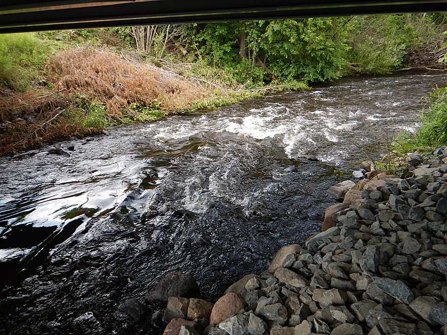
Very fun
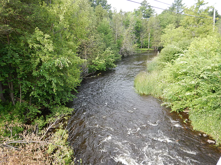
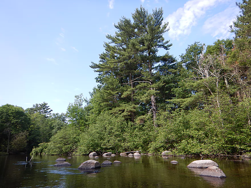
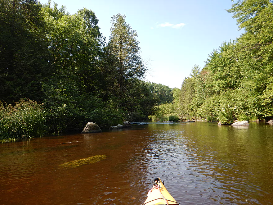
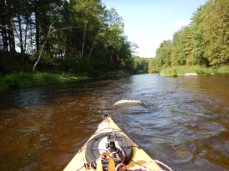
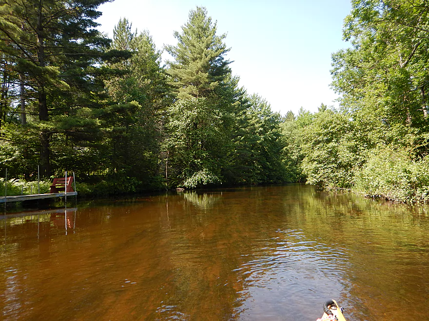
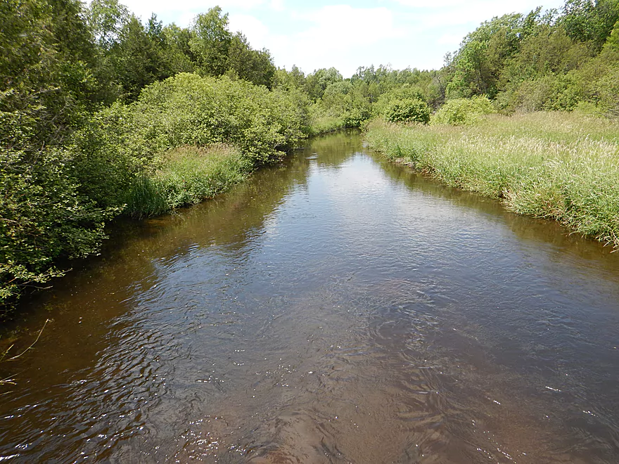
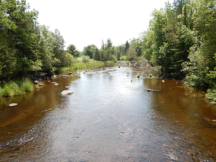
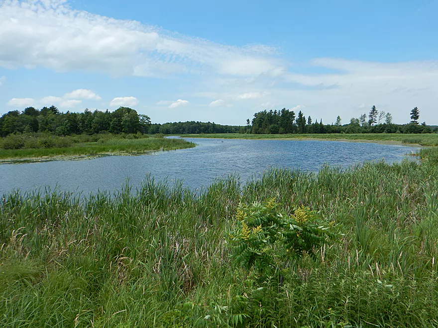
Looking downstream
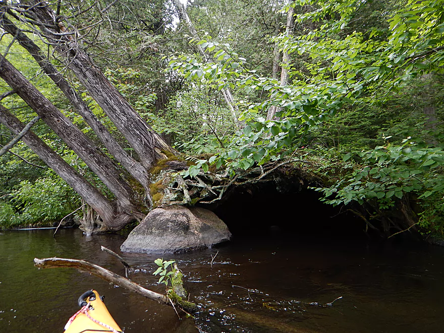
Cave made of roots
Interesting geology
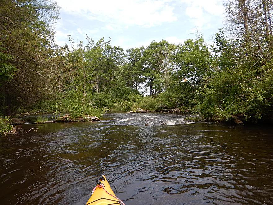
More fun rapids
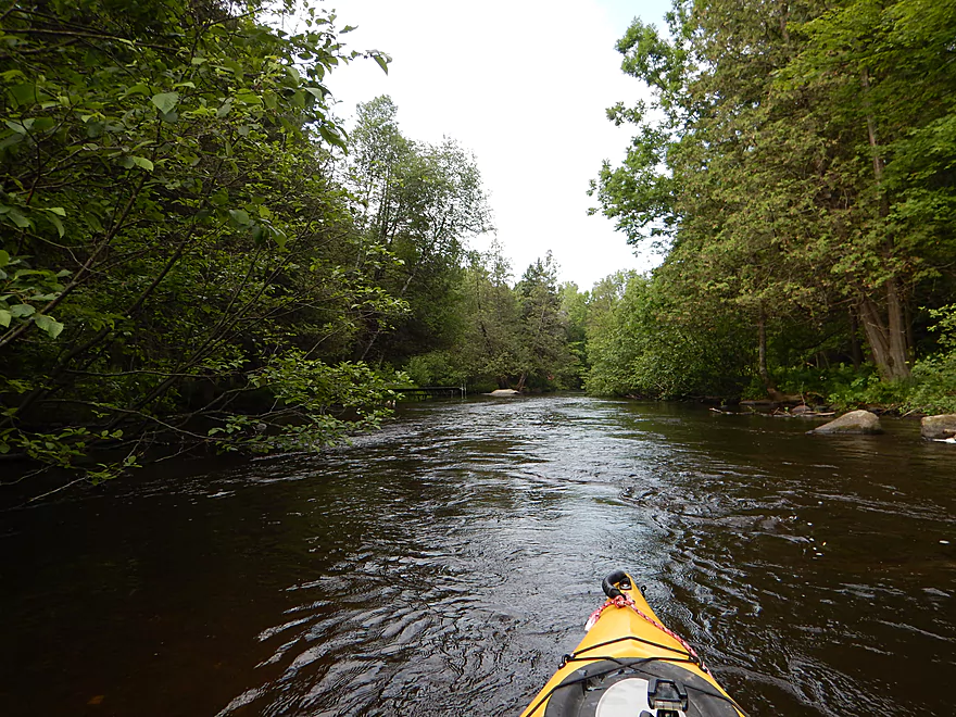
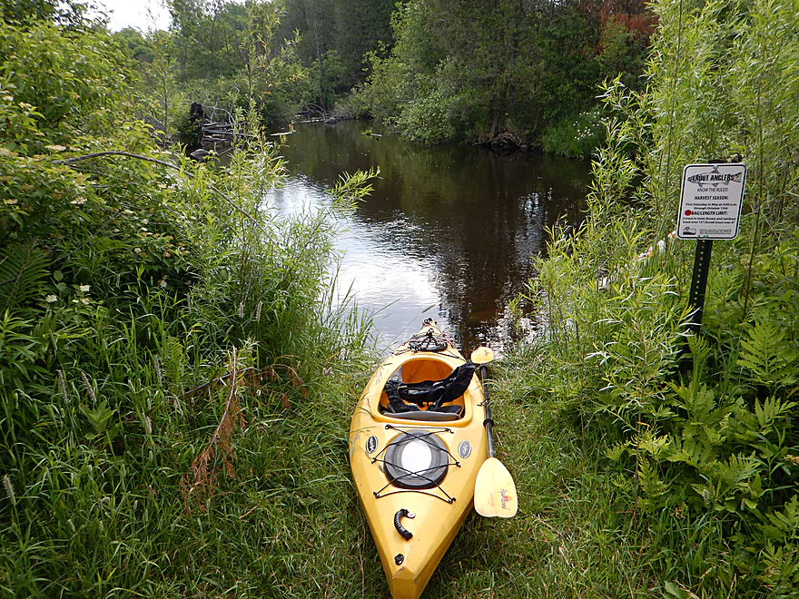
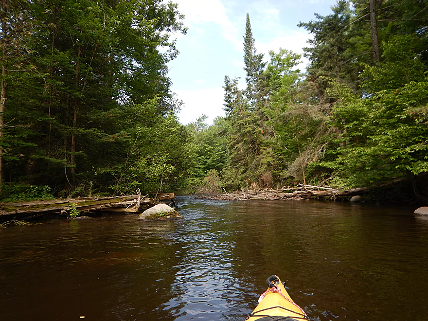
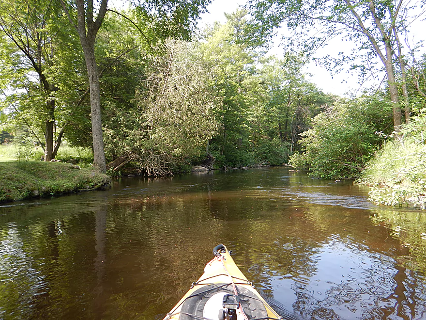
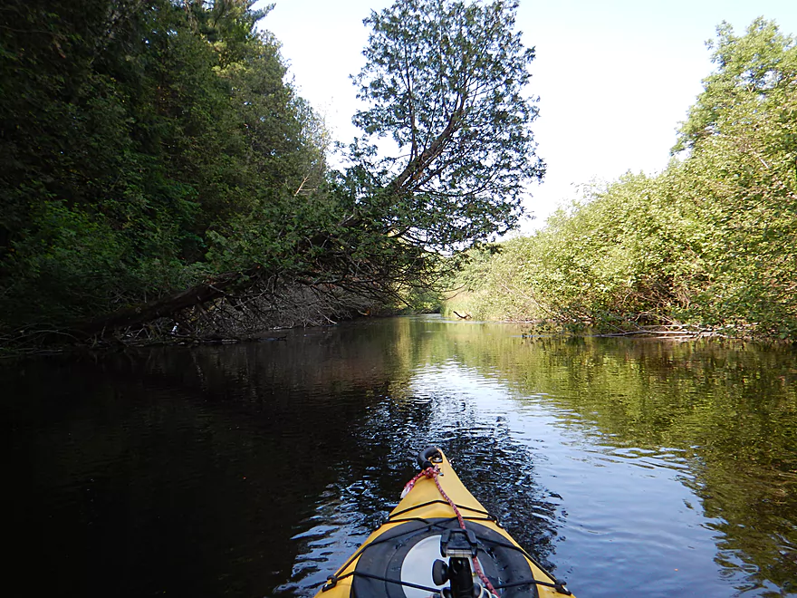
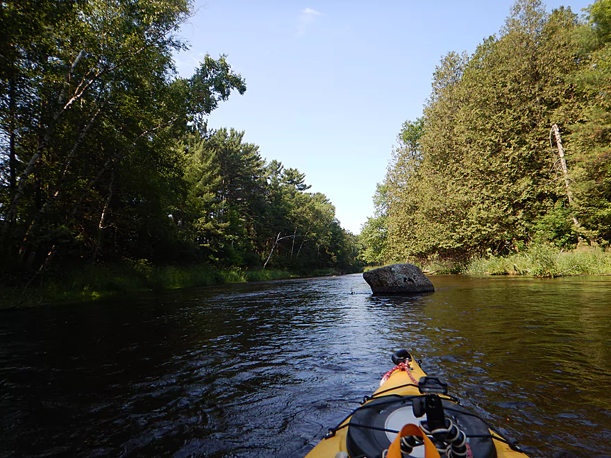
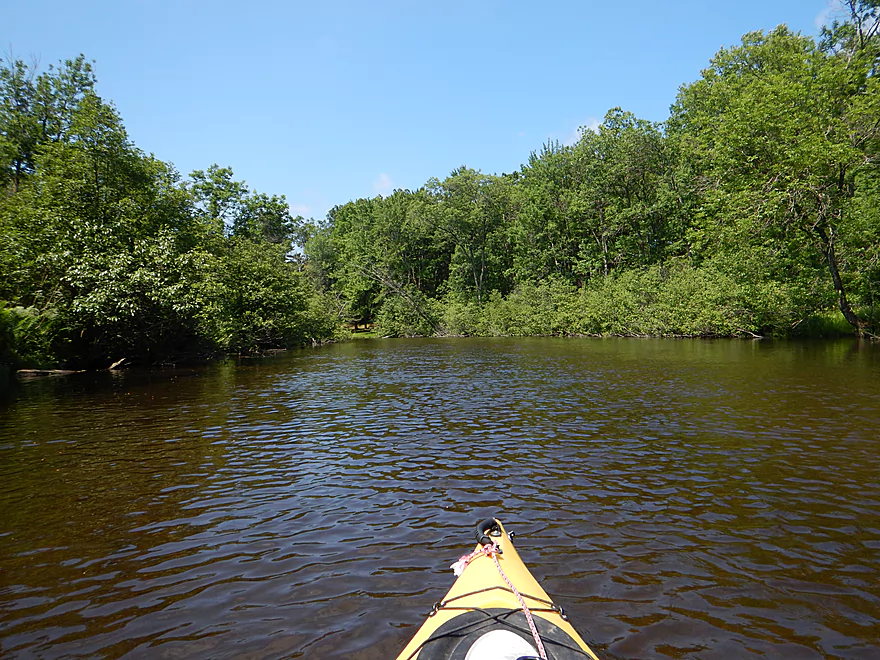
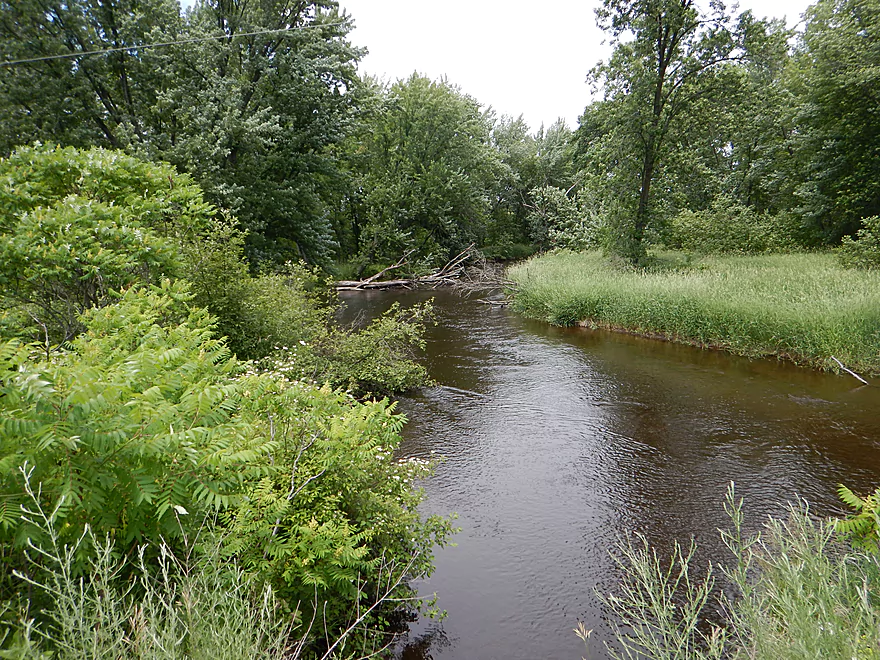
Very narrow channel to start the trip
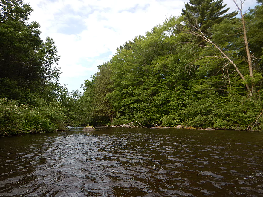
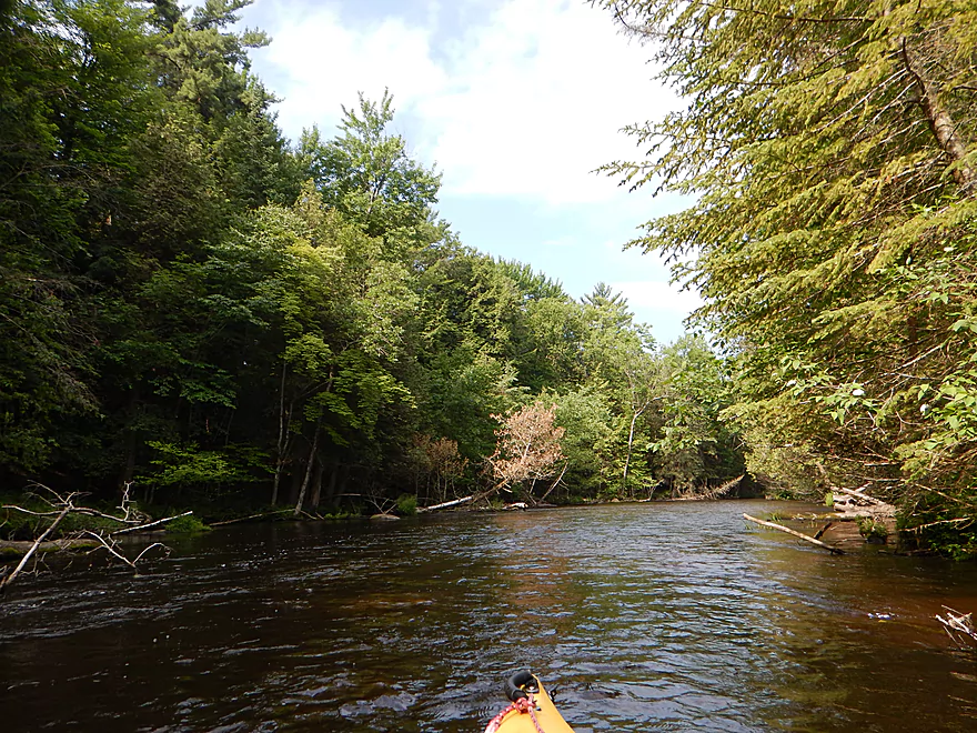
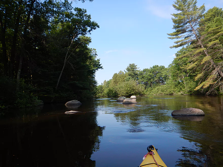
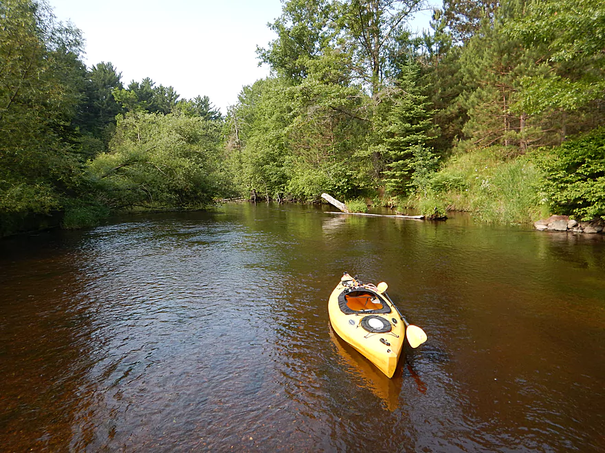
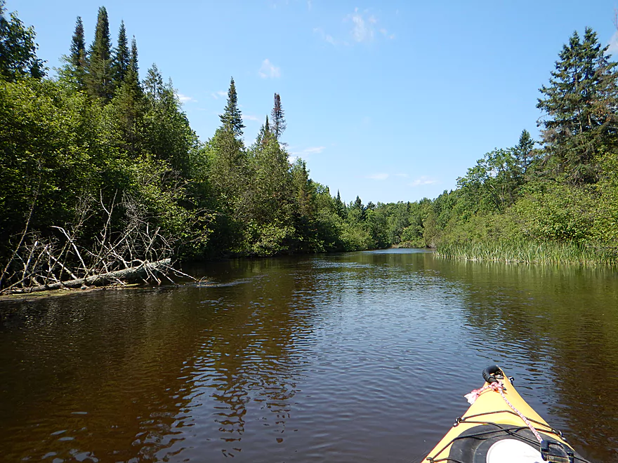
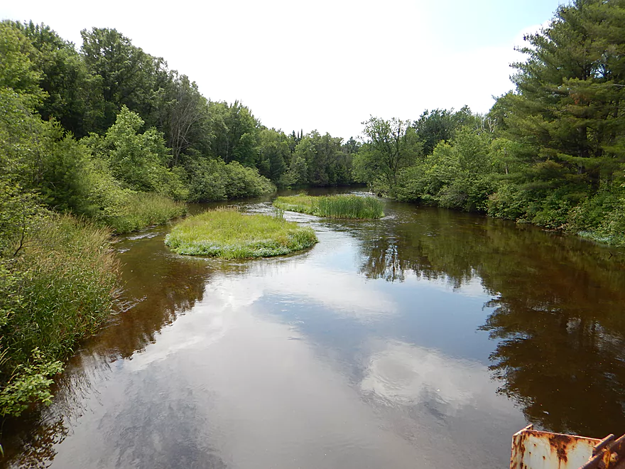
Nice scene
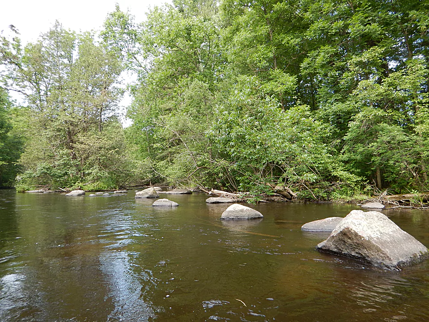
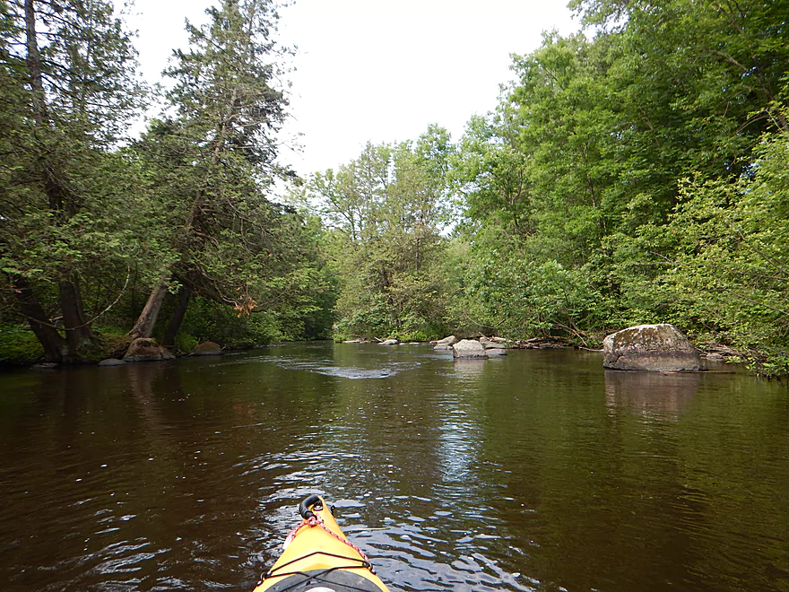
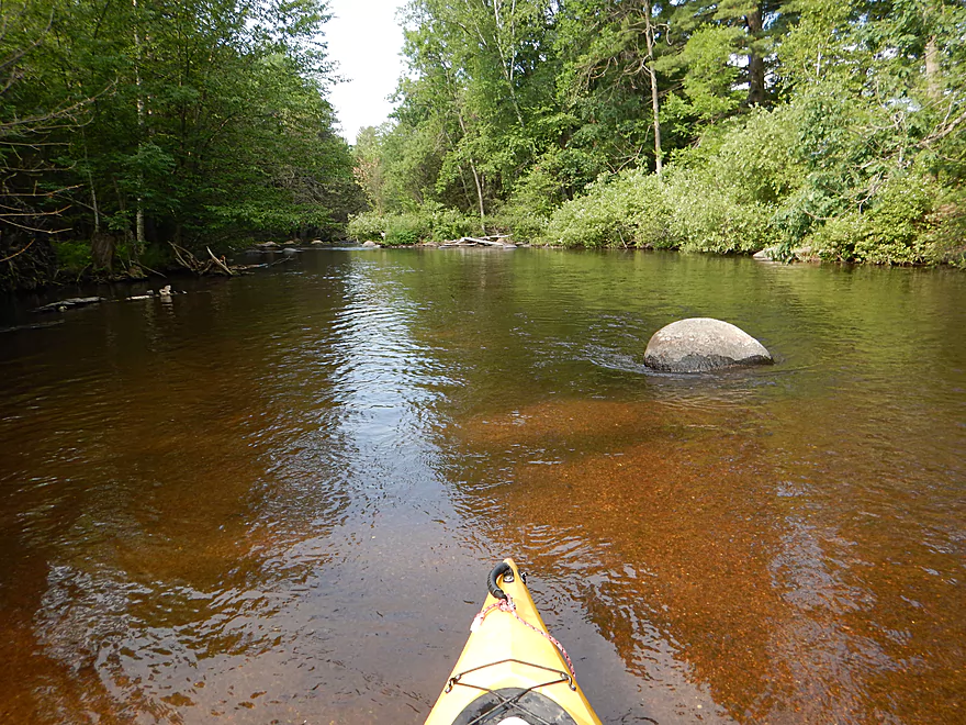
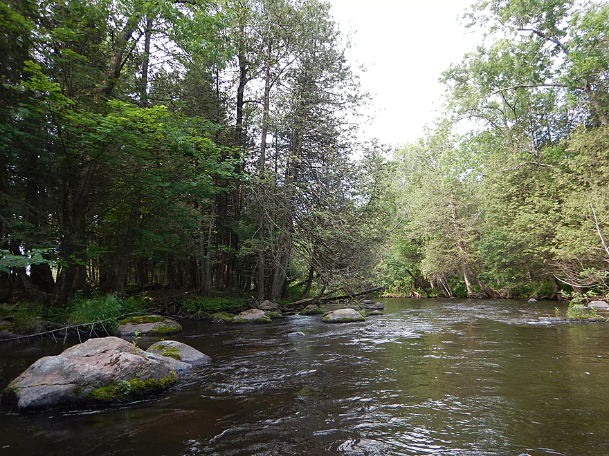
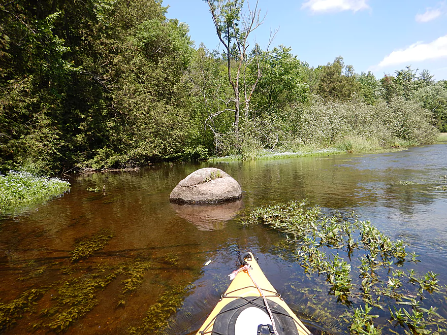
Attractive boulder garden
One of my favorite photos
Thankfully made navigable by a volunteer
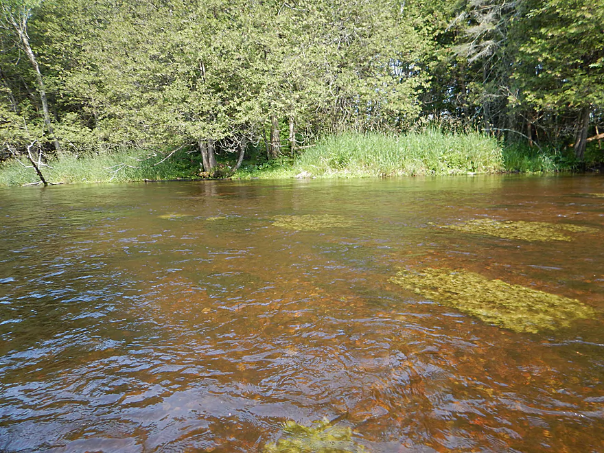
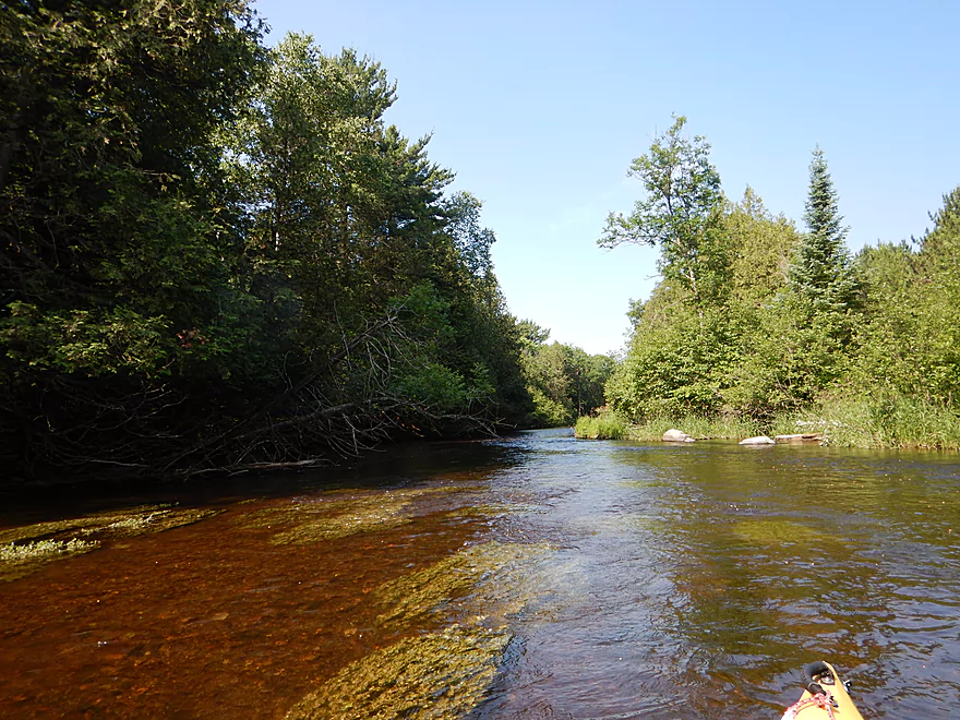
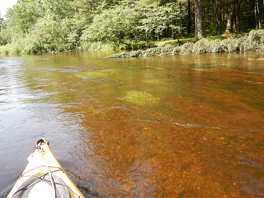
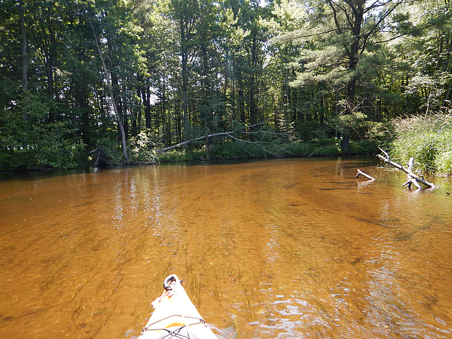
Very nice red pebble substrate
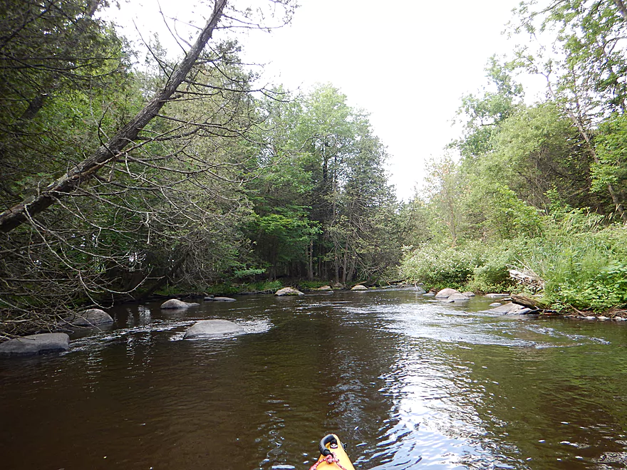
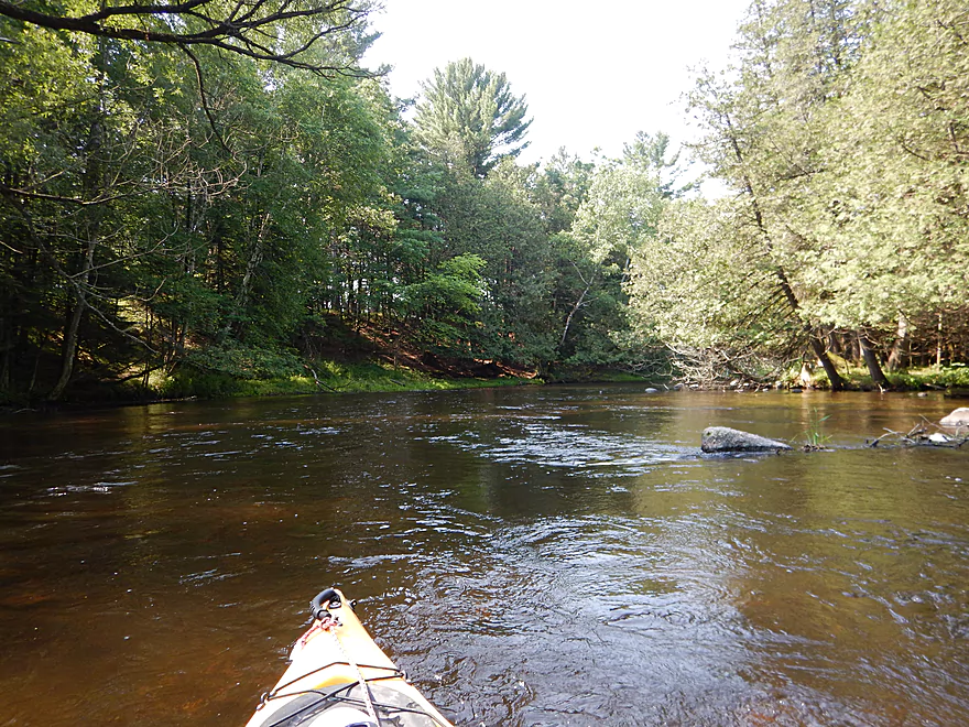
River stays fast and rocky
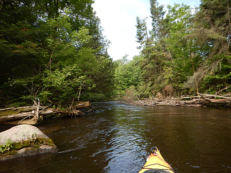
There are strainers, but are easy to avoid
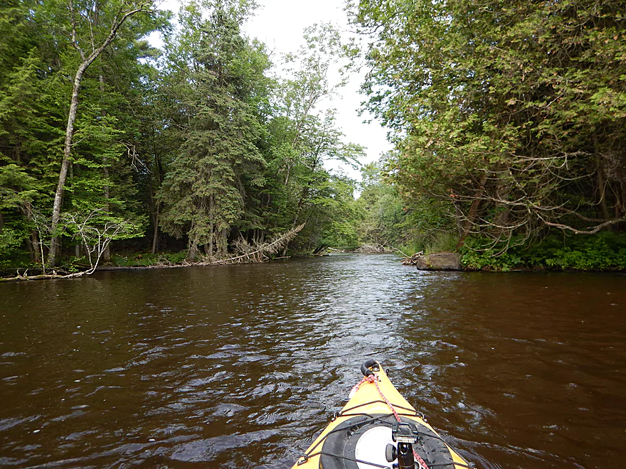
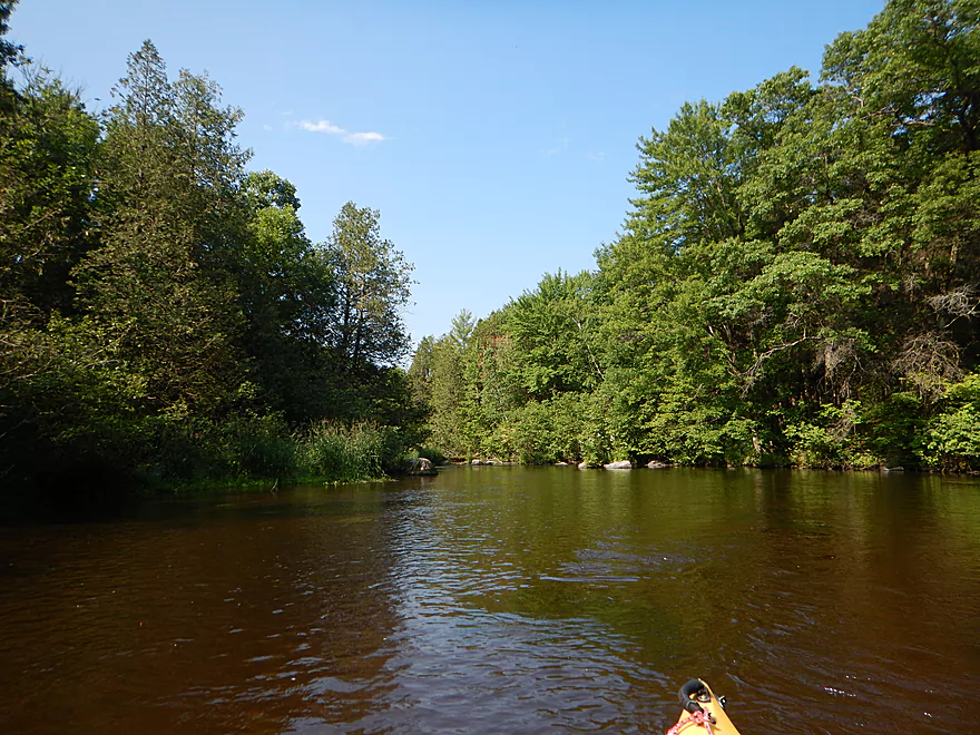
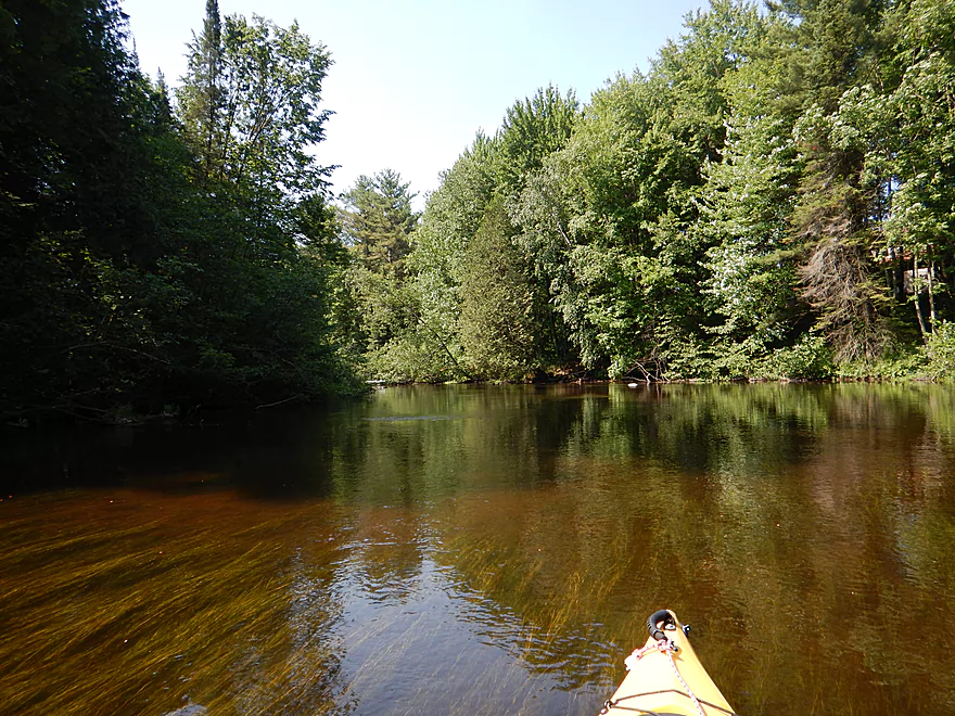
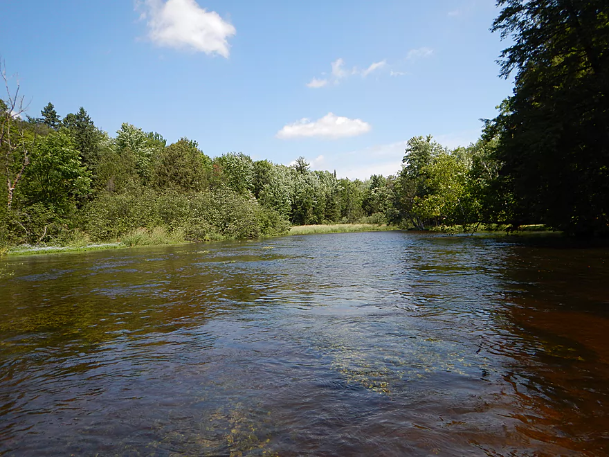
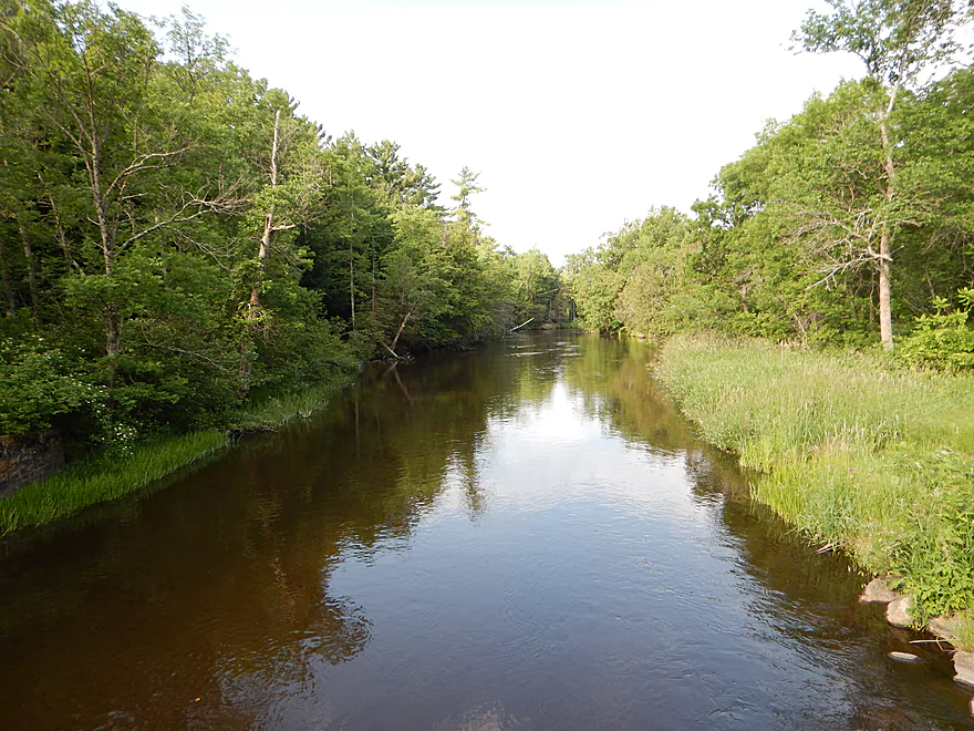
Very picturesque river
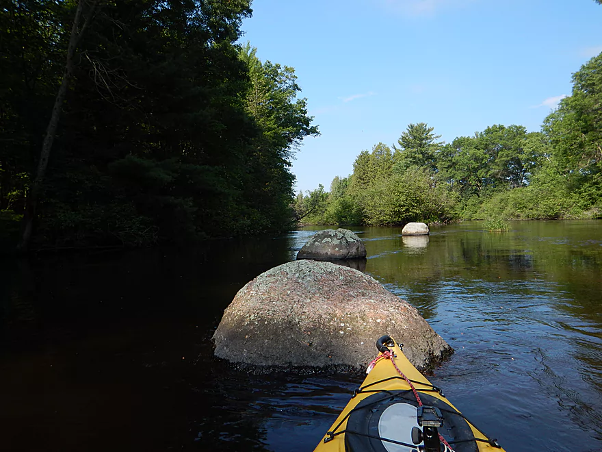
Lot of granite
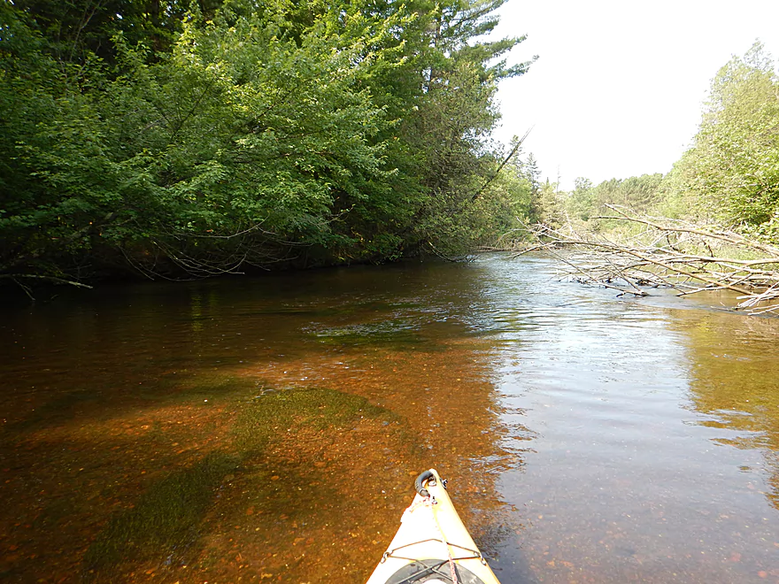
Great clarity
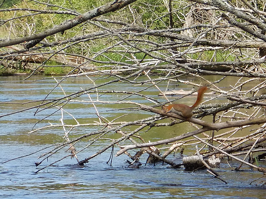
Squirrel has run out of branches
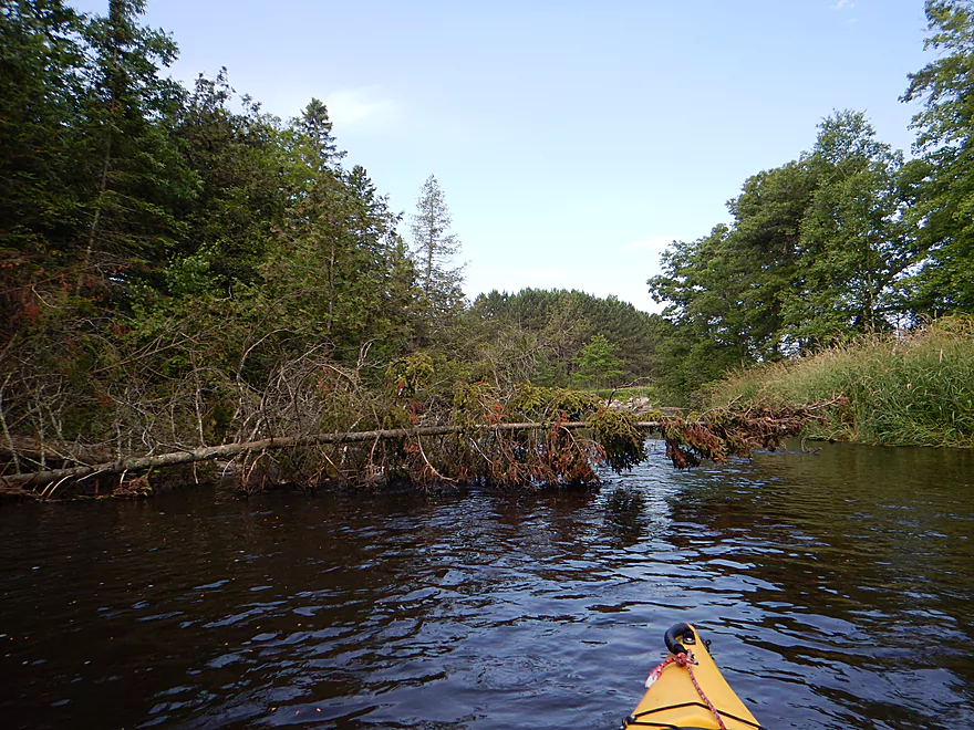
Log jams were never an issue
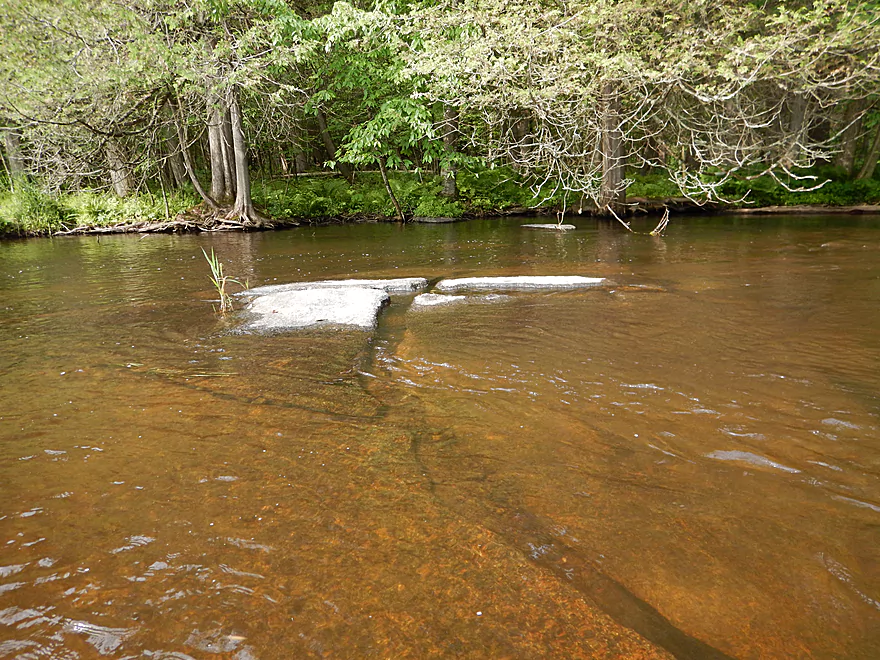
A rare shallow spot
A number of nice pond weeds
A rare steep bank
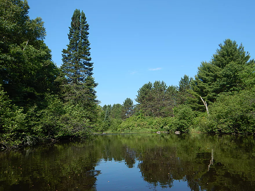
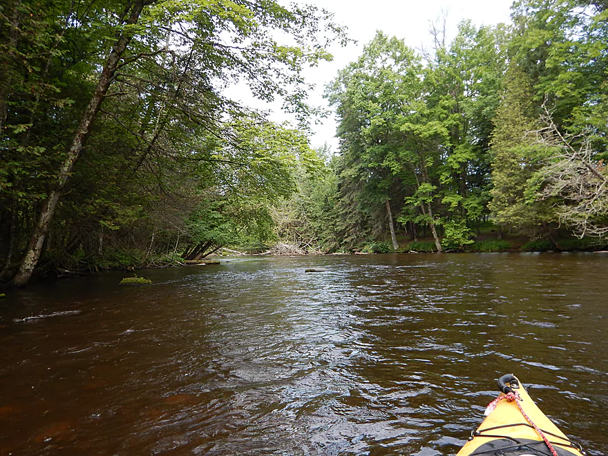
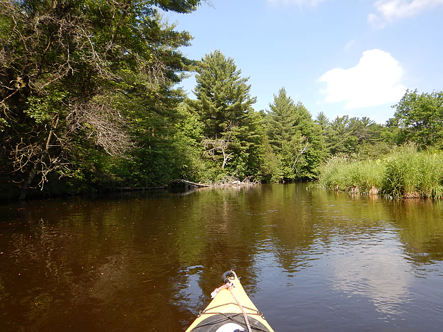
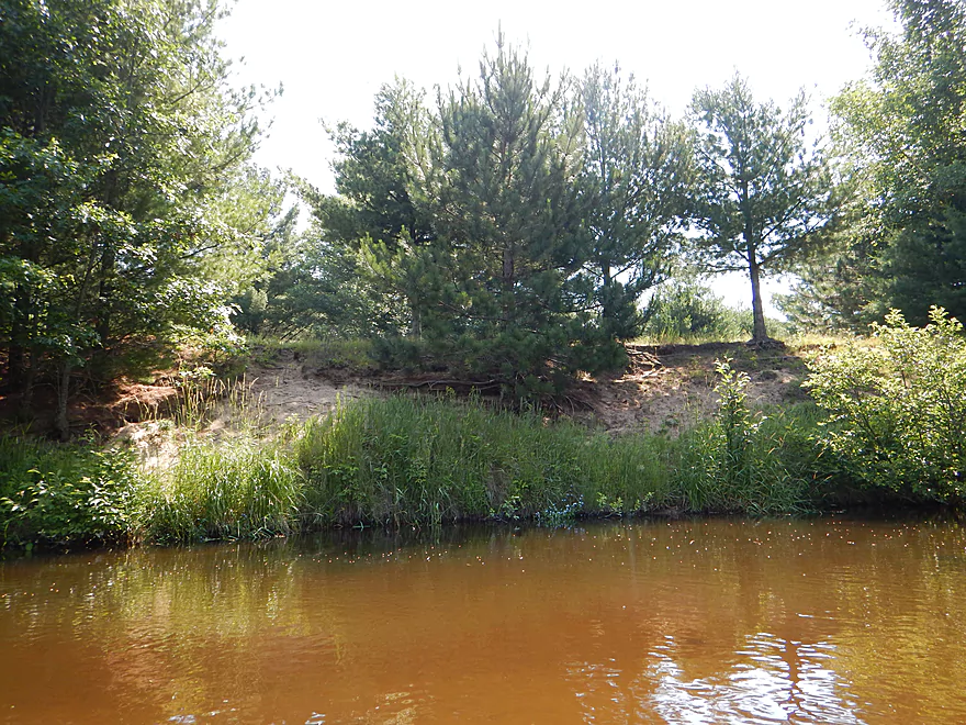
River has a mixture of hardwoods and conifers
More good clarity
Farm bridge that is easy to duck under
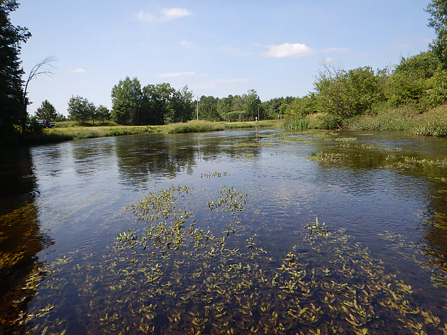
Attractive aquatic plants
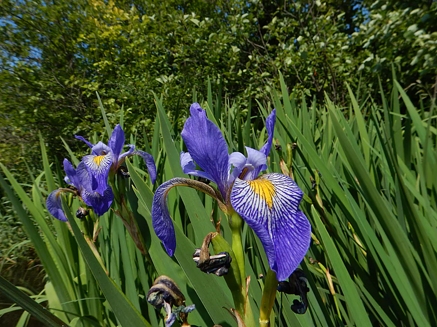
Attractive flowers (Blue Flag)
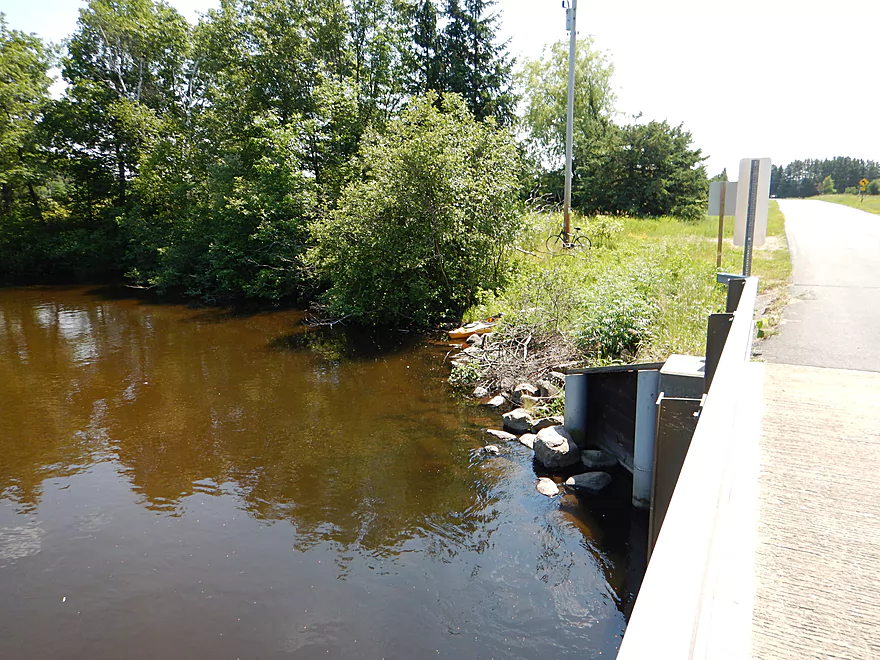
Bevent Drive is a take-out option
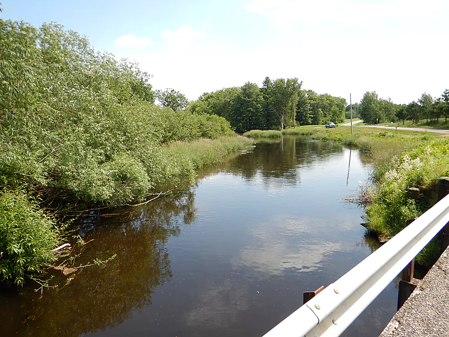
The best access is actually on the shoulder upstream of the bridge
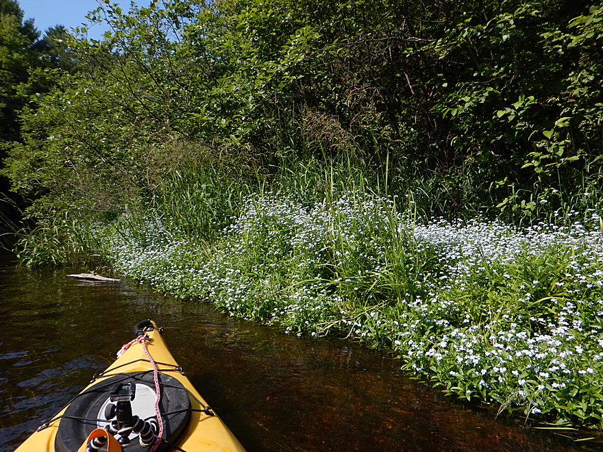
Several patches of forget-me-nots along the river banks
River slows and widens after Bevent
Still good clarity
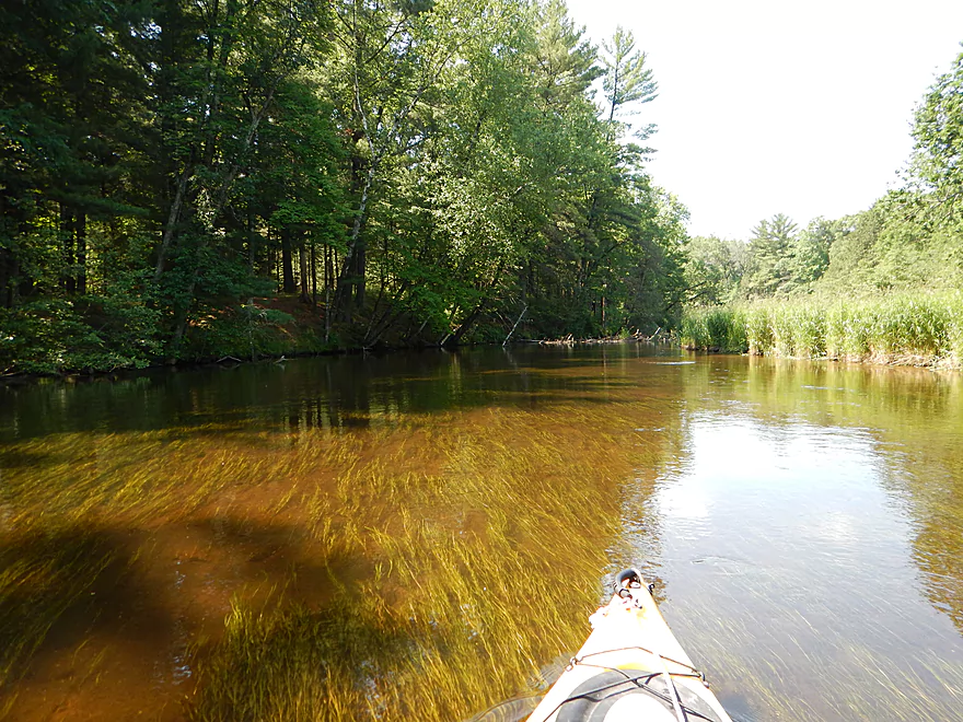
Pondweeds swaying in the current
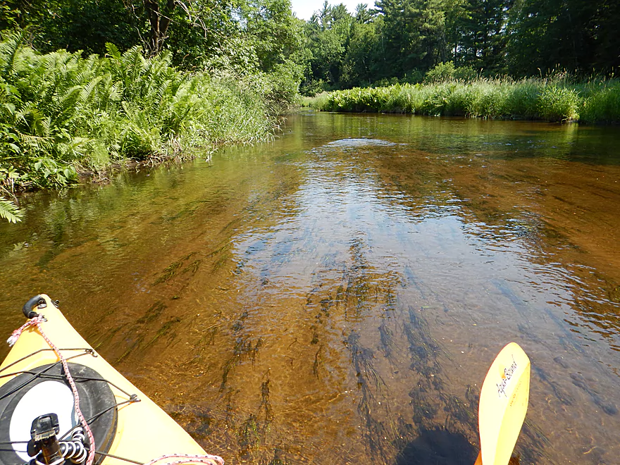
Lot of ferns on the river
A preview of bigger things to come
This would be even more striking in low water
Taking out at Pinery Road
Good access on NE bank, but horrible poison ivy
Looking forward to paddling the rest of this section
Scouting time…river looks navigable at Esker Road
Good and scenic access at Plover River Road
River is very striking at Kristof Road
Nice islands by Hwy J
Attractive scene by Shantytown Drive (popular)
Marsh/flowage by Hwy Y
Scene by Bentley Road
Very popular with paddlers
Scene by Hwy K
Also popular (despite the lack of room to park)
Great boulder garden by Sharonwood Lane
Plover River – Bevent


The Plover River is a popular paddling river near Stevens Point with two distinct sections. The upper section is rocky, fast, and more coniferous, while the lower section is predominantly hardwood floodplain. The latter is the most popular part of the river and what I had reviewed previously. Having been curious about the upper section for a while, I finally was able to check it out and was happy I did.
I put in at Hwy 153 where the river is more like a creek than a river (a good thing). Here the channel is narrow and fast with a few class 1 rapids. For the first two miles until Bevent Drive, is the best part of the trip and perhaps the best part of the entire Plover River. Clear and fast water rushes around narrow bends flanked by a mixture of hardwoods and pines enclosing the river. One of the highlights is the many boulder gardens on the upper part which are quite cool and were a little unexpected. Also nice were the small, mudless banks with attractive ferns growing on them. For a “southern paddler” it is always welcome NOT to see high muddy banks and thick invasive grasses. This was a great section and an easy five stars.
Gradually the river slows down and the channels widens out. Halfway into the trip, you’ll come across Bevent Drive which is a good alternate access. After this, and in the second half of the trip, the river is still nice, but does changes its character. Alders, grasses, and hardwoods start to push out the ferns and pines, most of the boulder gardens go away, and the river widens quite a bit. I would rank the 2nd half (Bevent Drive to Pinery Road) as four stars with the highlight being the clear water. You frequently could see the bottom (a mixture of sand and gravel) and the various submerged pondweeds flowing with the current.
The trip ended sooner than I expected, which I regretted. Most paddlers will extend the trip by taking out at Hwy J or Shantytown Drive, the latter of which has a very nice launch area and parking. However, in hindsight I would have preferred to extend the paddle by putting in much further upstream at Kristof Road or Plover River Road (both of which have ok access).
The upper Plover actually had a surprising amount of kayak traffic on it, and while I never passed anybody on the river, most of the landing spots had multiple cars parked. The savvy locals don’t launch at Hwy 153 (like I did and suggested by canoe author Mike Svob), but instead launch two miles upstream at Kristof Road. The river here is gorgeous with fast current and nice boulders, plus it sounds like this stretch has no log jams. I was told that one group was actually going to paddle upstream even of Kristof and clear out the jams, which is great news as well.
Very good good bridge access off Hwy 153 with a nice mowed pull-off for kayaks to launch upstream of the bridge. However, in hindsight, I suggest putting in at the Kristof Road bridge 2.3 miles upstream as that is a very scenic section (and also a good launch).
Pinery Road is a nice take-out with room to park east of the bridge and a short distance to the water. Only downside is there is a lot of poison ivy, so watch your step.
Very easy bike shuttle. Flat, all paved, and only 3.8 miles.
None. There are class 1 rapids, but they are all easy. There are also some low hanging branches, but these are easy to avoid.
The Plover doesn’t have a gauge, so I’ll use for reference the gauge on the Eau Claire (a neighboring watershed to the north). The Eau Claire is much bigger, so take these figures with a grain of salt. I went at 130 CFS which is a bit below average, but not much. A local told me the Plover had been very high the last week which makes sense (the Eau Claire was at 600 CFS 7 days ago).
The depth I paddled was plenty deep, and I could have gone at much shallower levels. In fact I doubt the Plover ever gets too shallow to run.
On the flip side, I suspect the channel frequently gets too high to run…not because of flooding, but because it will bury the boulder gardens and obscure the water clarity. I suggest waiting to do this trip until levels are under 200 CFS.
An immature eagle, crayfish and some dragonflies.
- Paddlingtheplover.wordpress.com: An informative blog about the Plover River.
- Paddling Southern Wisconsin by Mike Svob: A good guide book in general, but specifically a good resource for upper part of the Plover River.
Detailed Overview
- Legion Memory Park to Konkol Road: (1.8 miles) Scenic, narrow, shallow creek with perhaps a few logjams.
- Konkol Road to Townline Road: (1.3 miles) Probably a mediocre but doable prospect.
- Townline Road to Bridge Road: (1.4 miles) A creek prospect that should have scenic woods and a few boulder gardens. Townline Road should be ok for access.
- Bridge Road to Esker Road: (0.7 miles) Narrow, wooded and rocky, this is a good prospect. Probably some rapids and a few logjams. Should be ok put-in access.
- Esker Road to Hwy 153: (6.4 miles) A fantastic trip reviewed in Oct 2016.
- Esker Road to Plover Road: (1.5 miles) Pleasant section with a nice boulder garden.
- Plover River Road to Kristof Road: (2.7 miles) Best section on the entire river. Very scenic, with 3 Class 2s and many boulder gardens.
- Kristof Road to Hwy 153: (2.3 miles) Good section with no noteworthy rapids, but pleasant and scenic.
- Hwy 153 to Pinery Road: (5.0 miles) A great trip reviewed in June 2016.
- Hwy 153 to Bevent Drive: (2.7 miles) Five star segment and 2nd best leg on the entire river. Scenic with several small rapids.
- Bevent Drive to Pinery Road: (2.3 miles) Pleasant section but not as scenic as upstream parts.
- Pinery Road to Shantytown Drive: (4.9 miles) A medium trip reviewed May 2018.
- Pinery Road to Hwy J: (2.8 miles) Starts wide and uninteresting but gets better with narrow corridors of firs, white cedars and white pines. Section includes a small boulder garden and several low farm bridges.
- Hwy J to Shantytown Drive: (2.2 miles) A peaceful section with many conifers relatively undeveloped banks and good current.
- Shantytown Drive to Hwy Y: (5.2 miles) The river slows and widens here, with maybe a third of the trip being a flowage/marsh (looks pleasant). Shantytown Drive is a good launch option.
- Hwy Y to Bentley Road: (1.3 miles) A tweener section between the flowage and river that includes a dam portage. Hwy Y is a poor launch option with difficult parking.
- Bentley Road to Hwy K: (3.4 miles) The river narrows here and this is a popular section. Good shoulder parking at Bentley Road (lot of cars park here).
- Hwy K to Jordan County Park: (5.3 miles) Ok prospect reviewed Jul 2017.
- Hwy K to Sharonwood Lane: (4.7 miles) A less traveled, narrow, wooded section on the upper part and an open grassland paddle in the second part where the old flowage was. Be careful about running the old dam remnants. There are nice boulder gardens above and below Sharonwood Lane. Hwy K is an ok launch, but has very poor parking (most cars were literally parking more on the road than on the shoulder).
- Sharonwood Lane to Jordan County Park: (1.0 miles) Gorgeous boulder garden below Sharonwood and perhaps an abandoned whitewater slalom course. Most of this is lake paddling though Jordan Pond. Sharonwood Lane is small but ok for access.
- Jordan County Park to Jordan Dam/Jordan Park: (0.5 miles) Paddle west of the lake, then portage under the Hwy 66 tunnel. You then have to drag your boat 600+ feet to get past the pipeline and into the water. Not recommended.
- Jordan Park to Iverson Park: (8.0 miles) A good prospect previously reviewed July 2014.
- Iverson Park to Lower Whiting Park: (2.5 miles) Mostly open flowage paddling that is probably uninteresting.
- Lower Whiting Park to the Wisconsin River: (1.2 miles) Mostly big flowages. Probably not a good prospect.
Trip Map
Overview Map
Video
Photos Size: