
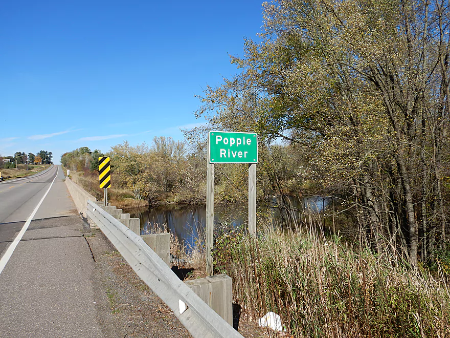
Welcome to the Popple River
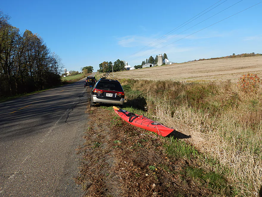
Tight parking at the put-in (Hwy N)
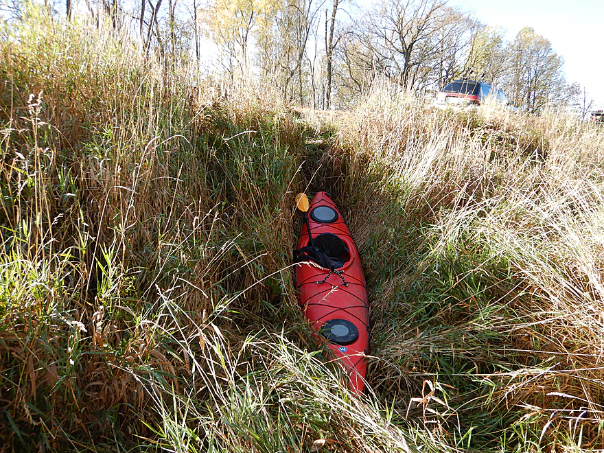
Also a weedy access
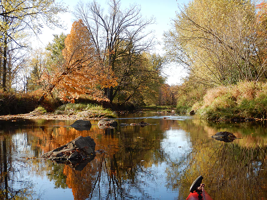
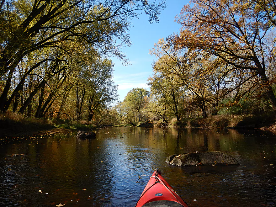
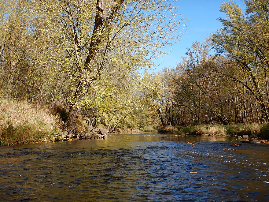
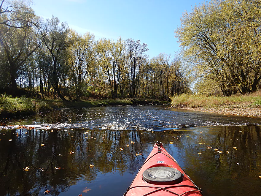
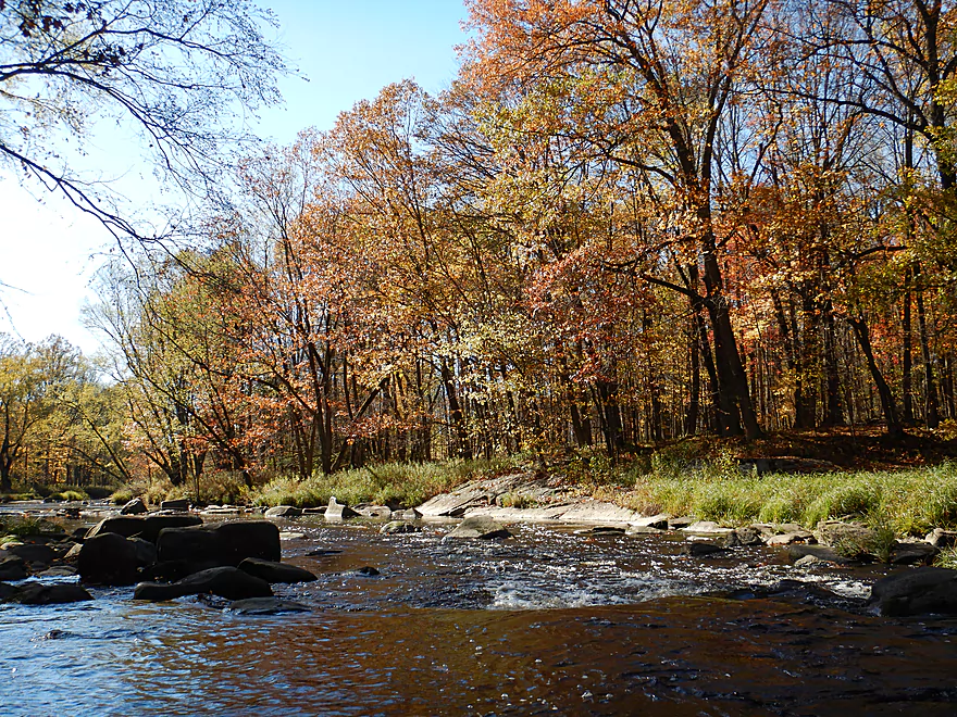
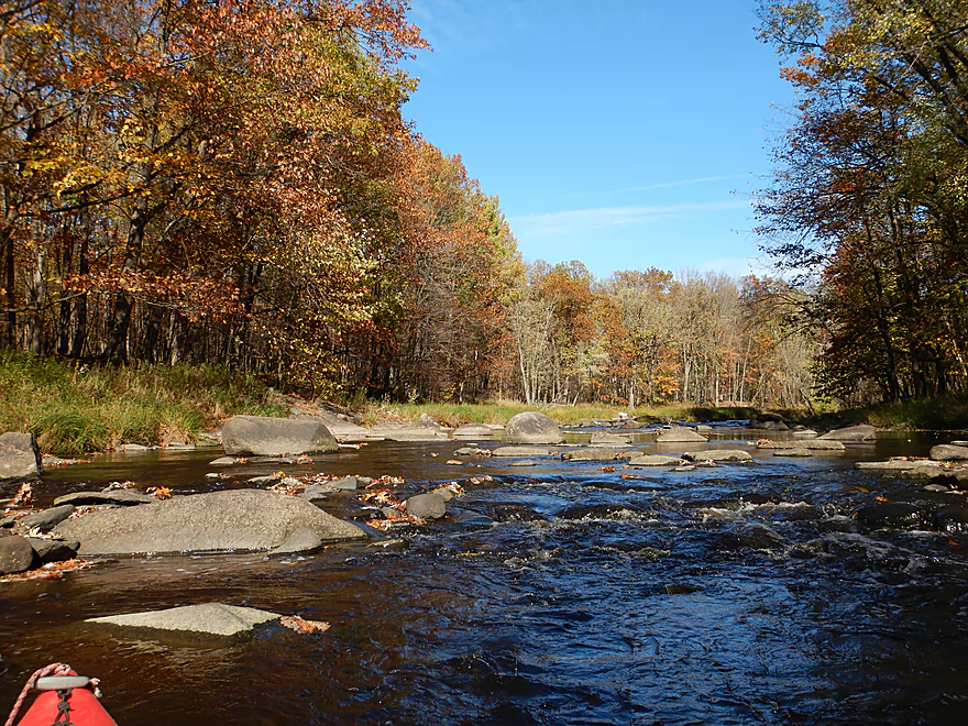
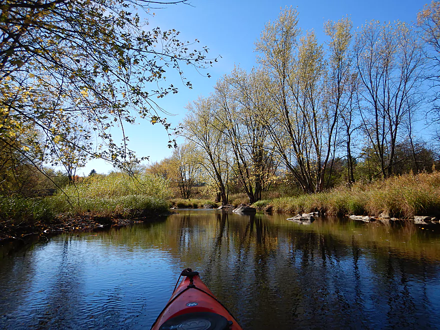
Scenic start to the trip
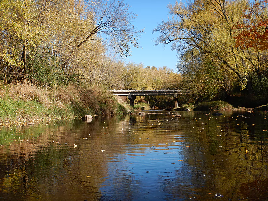
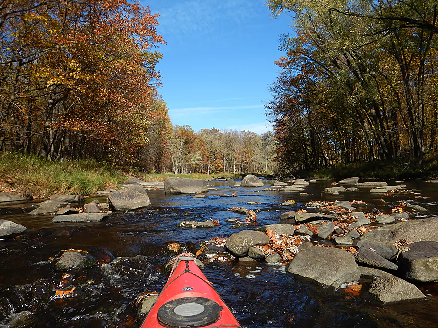
Looking back at the bridge
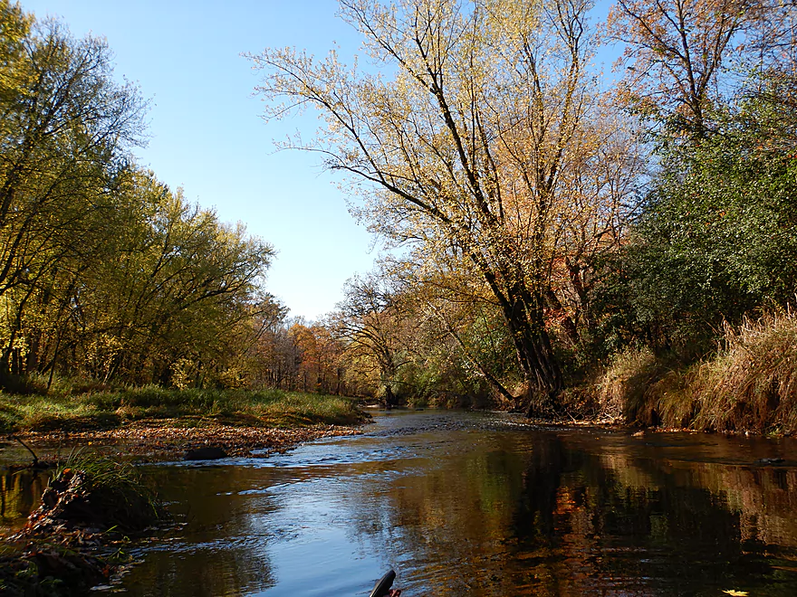
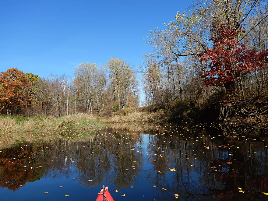
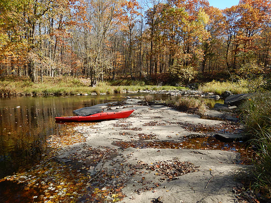
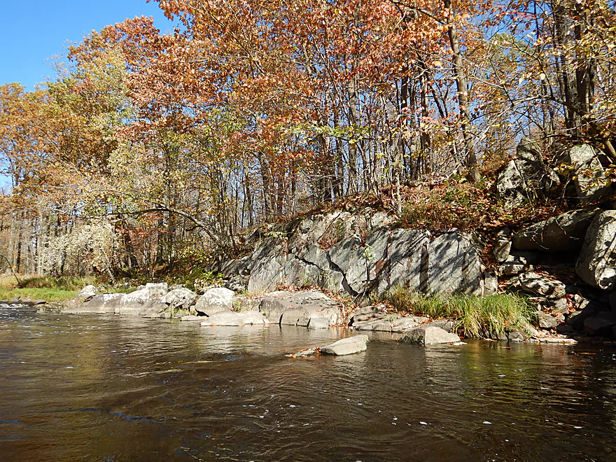
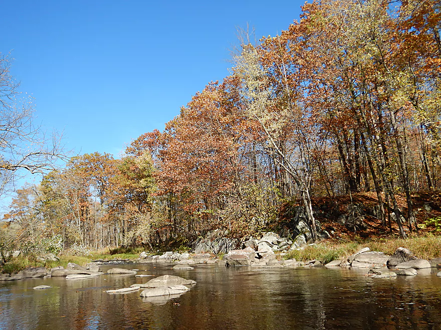
Color was past peak, but still nice
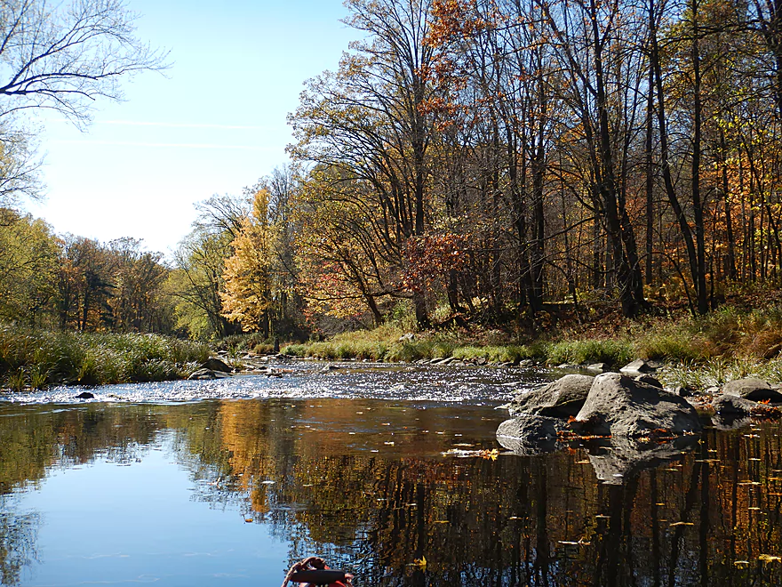
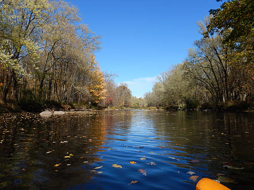
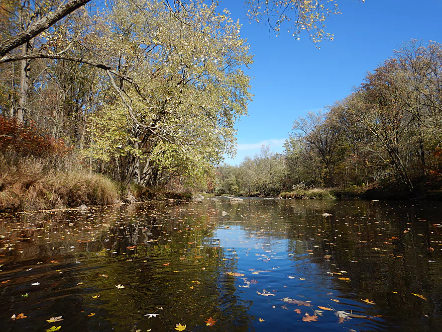
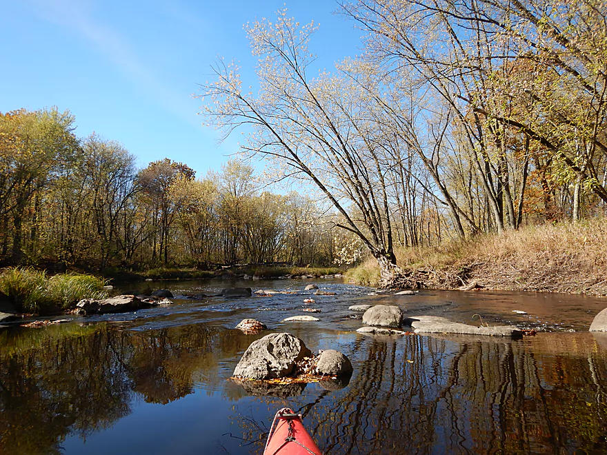
Some nice reflections
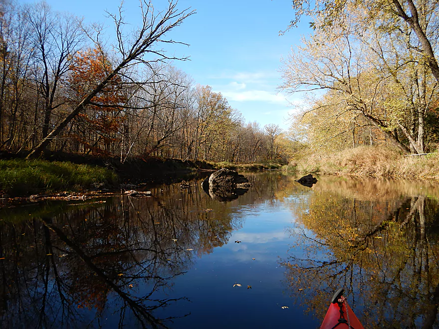
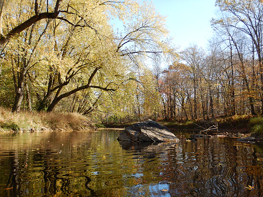
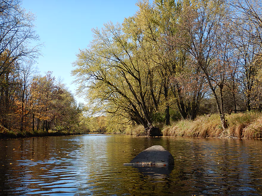
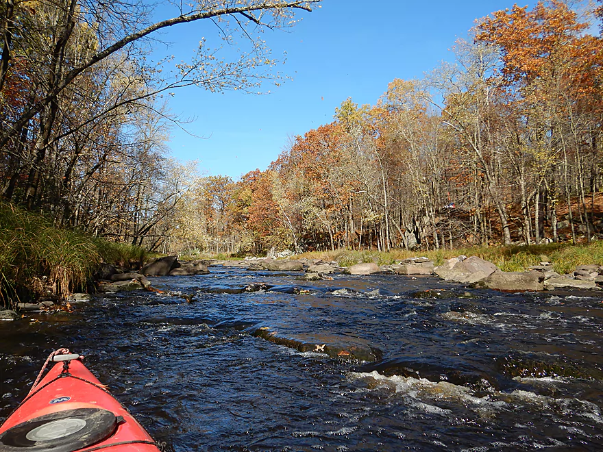
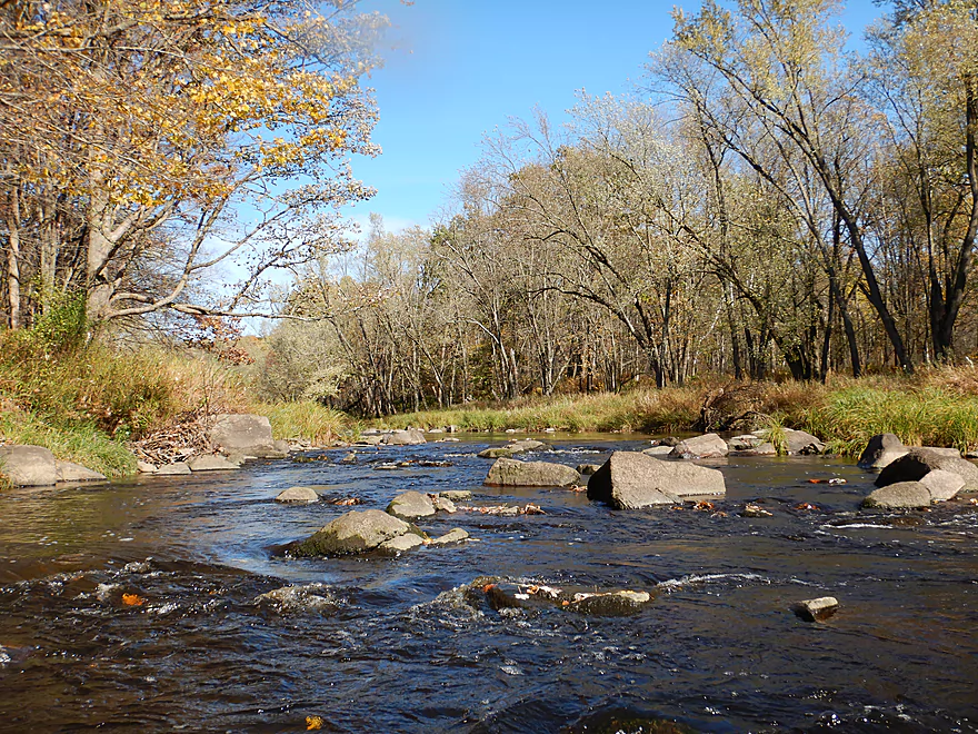
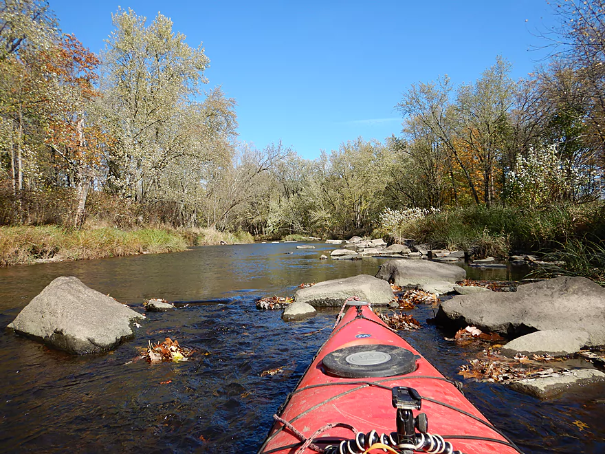
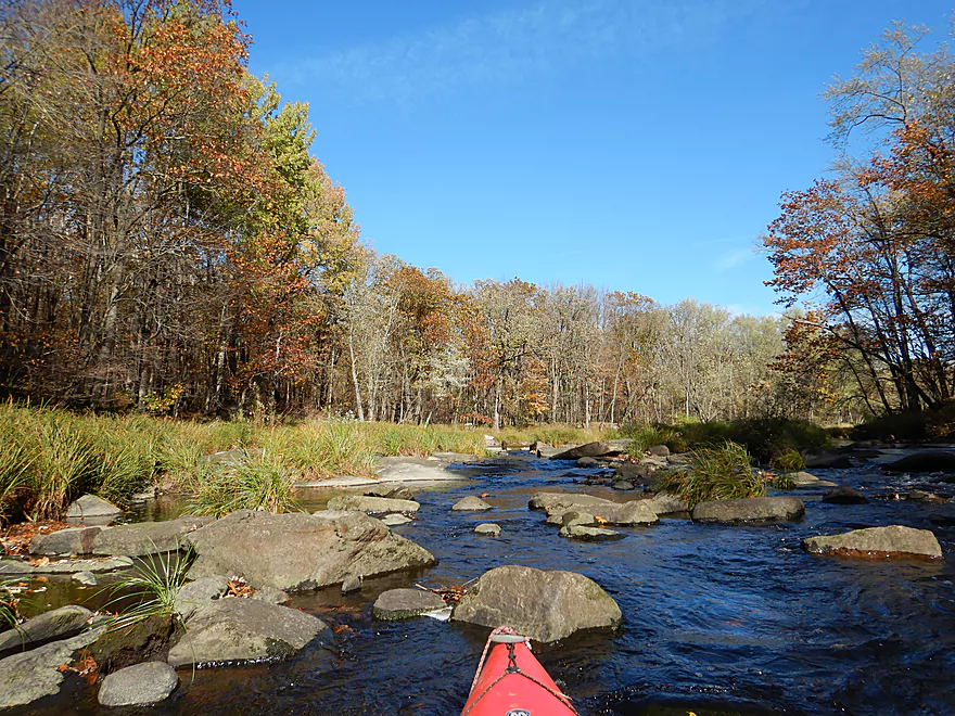
Boulders dot the river
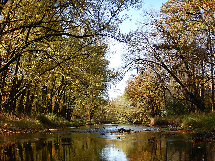
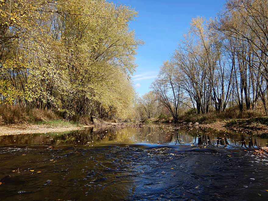
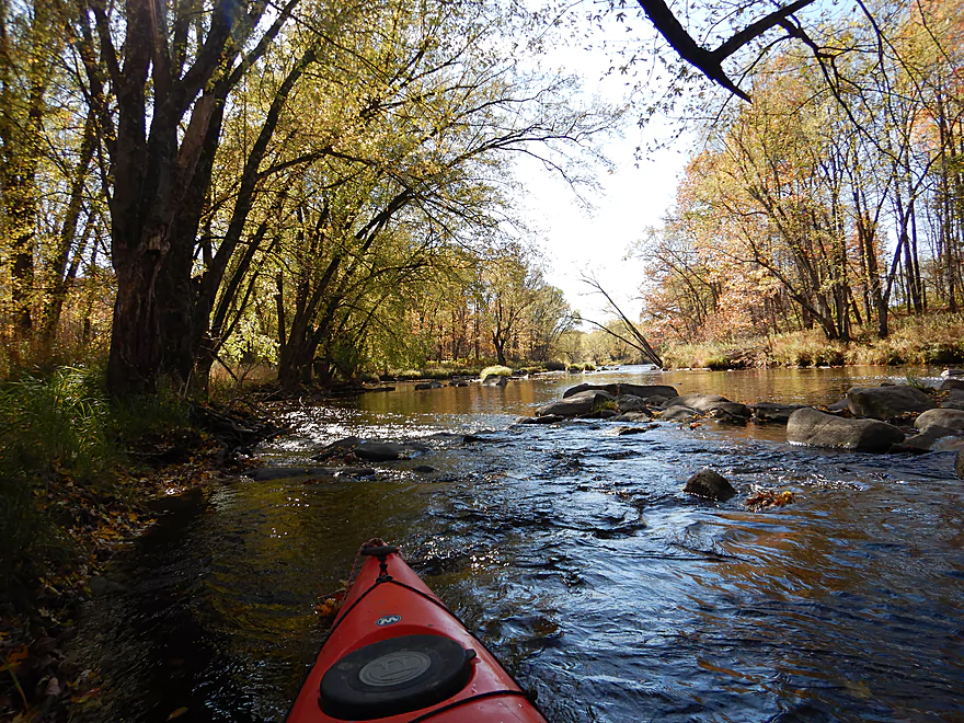
Neat tree canopy corridor
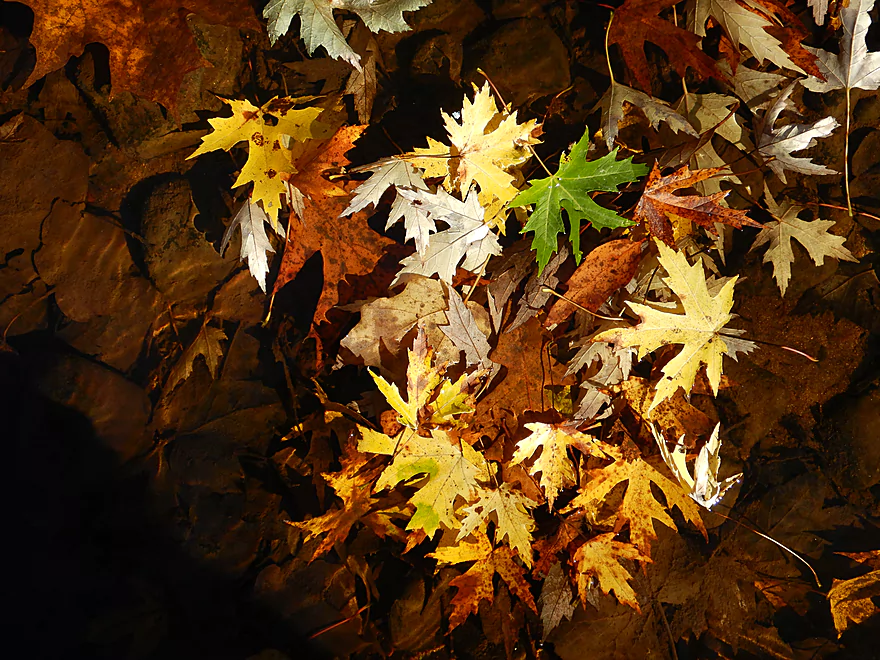
The best leaf color was often in the river
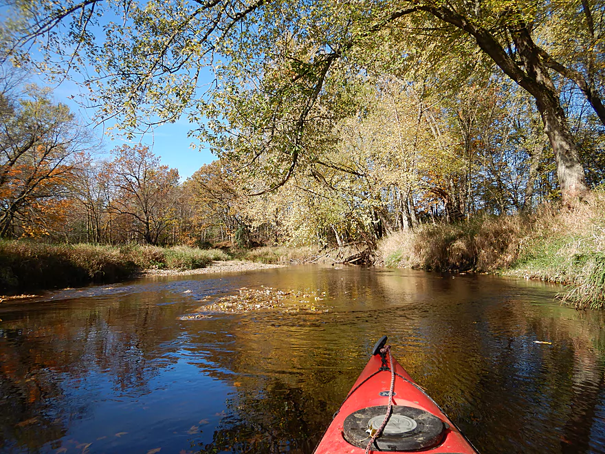
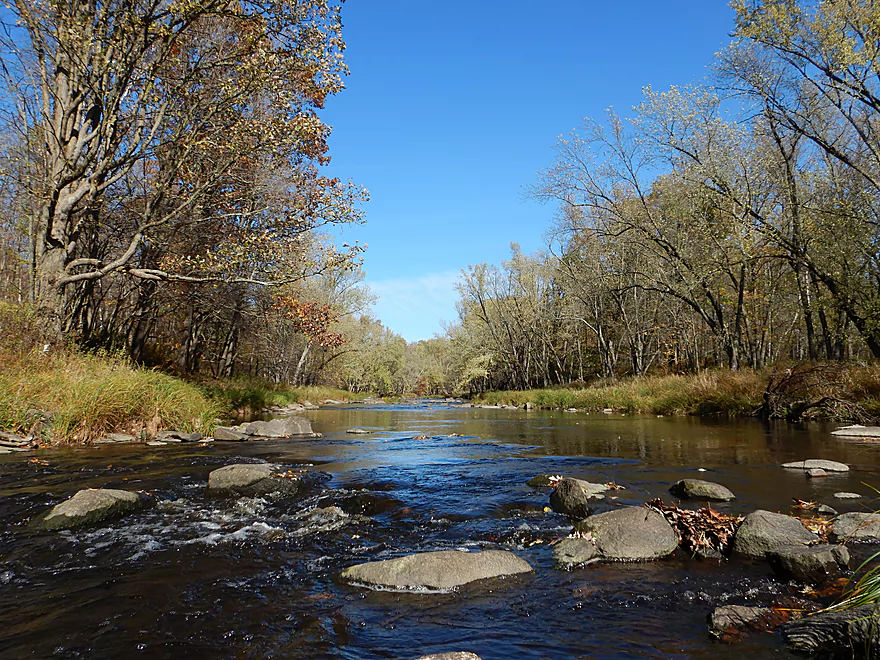
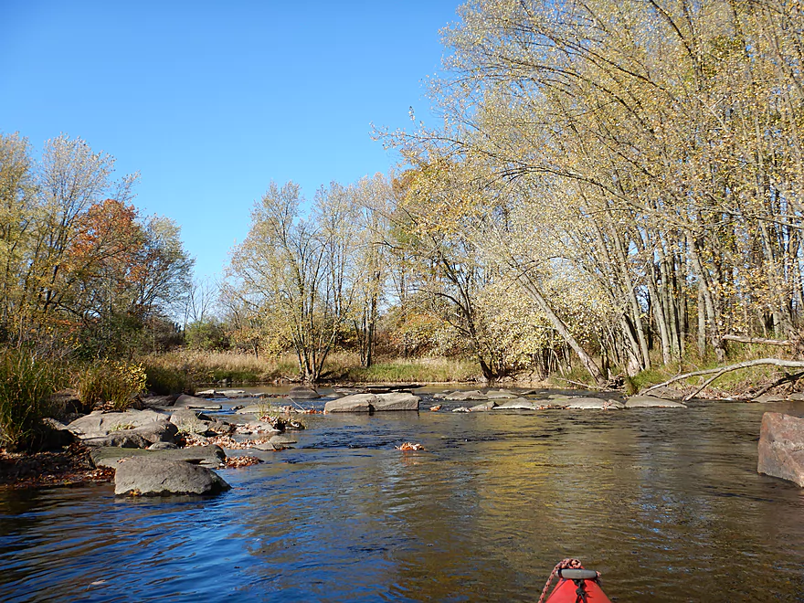
Sometime narrow, but mostly a wide river
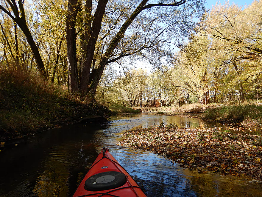
A leaf traffic jam
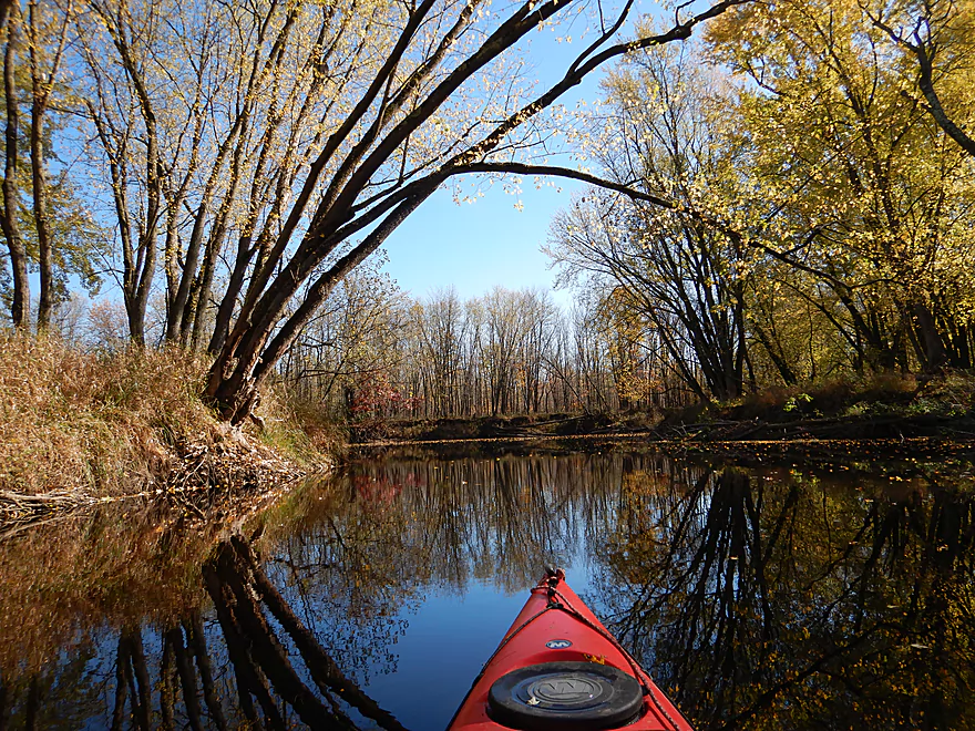
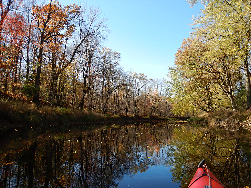
More nice reflections
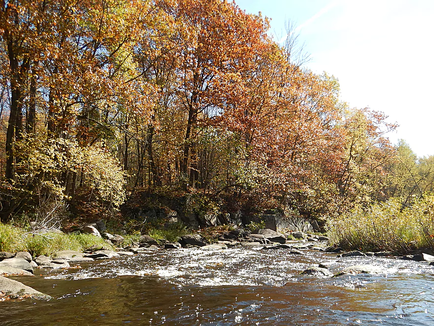
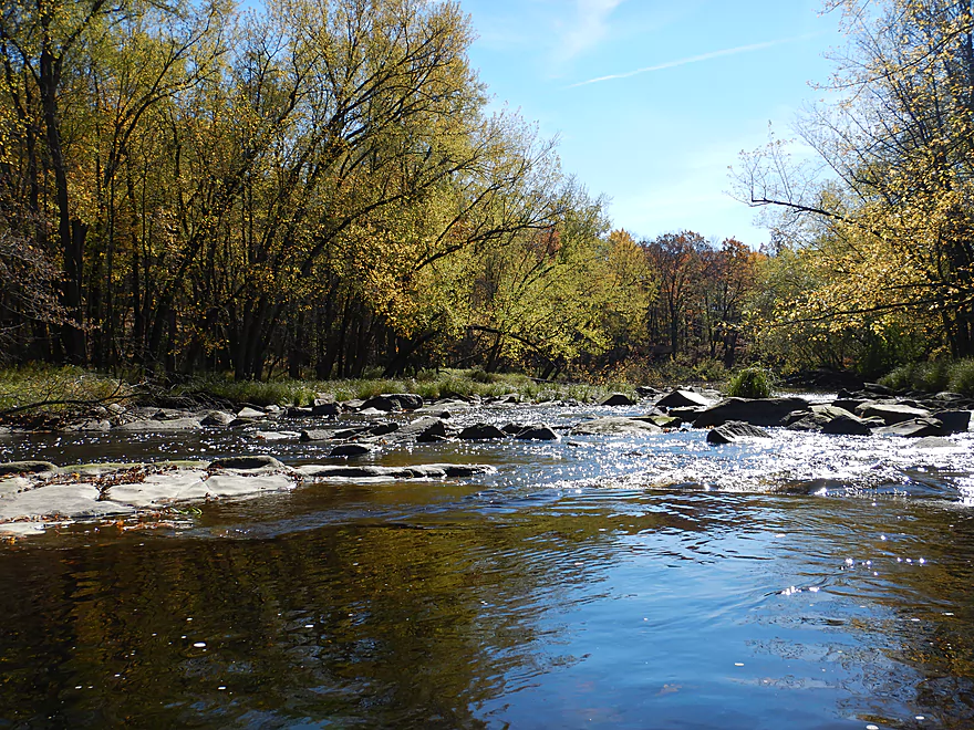
One of several riffles in the first few miles
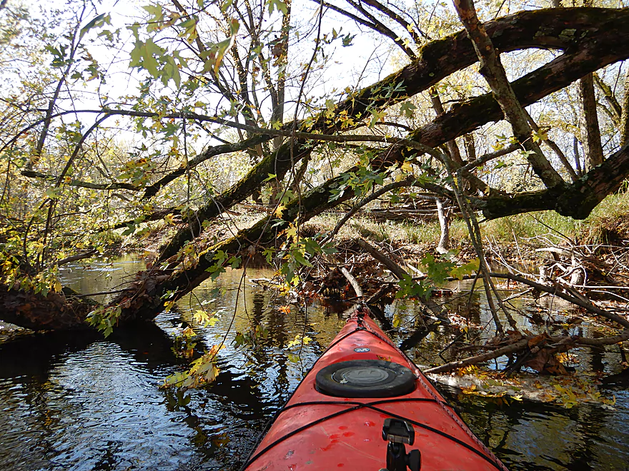
The worst logjam (easy to get through)
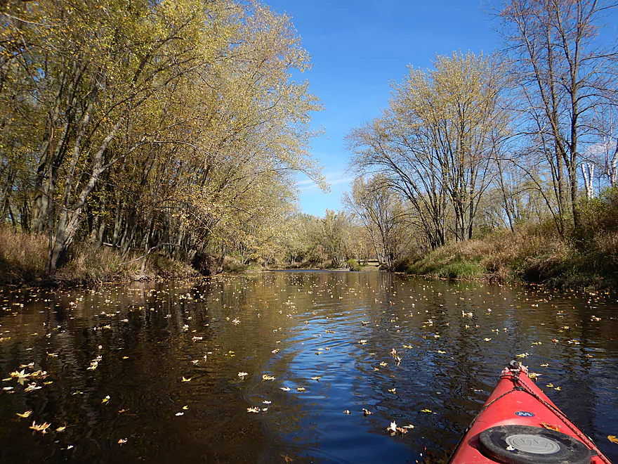
Really cool seeing all the leaves on the water
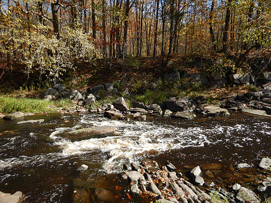
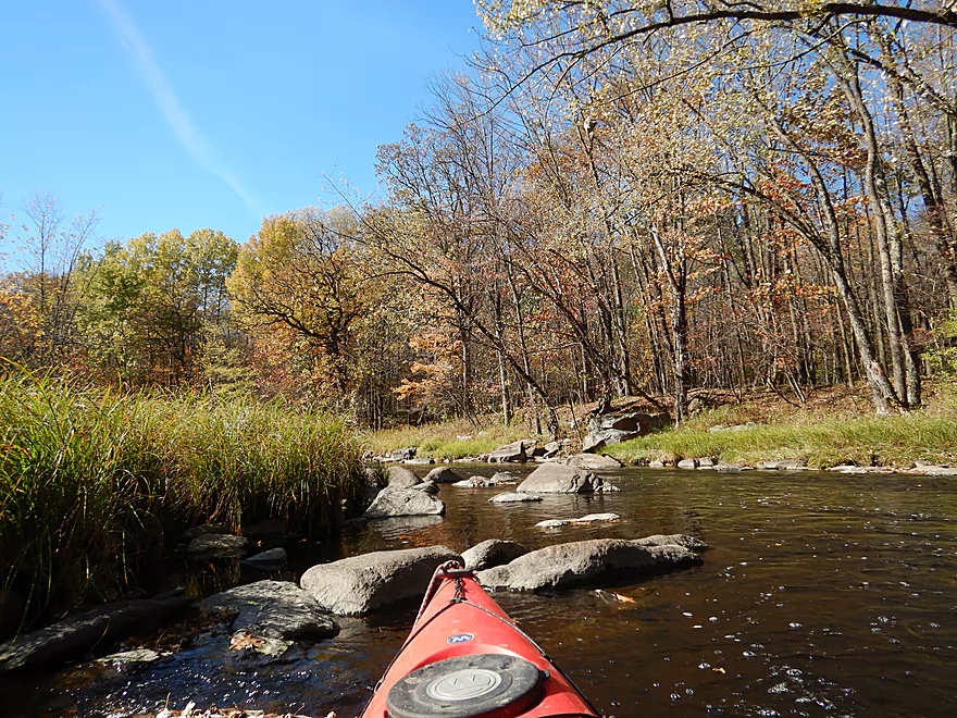
Current is starting to pick up
Looking back
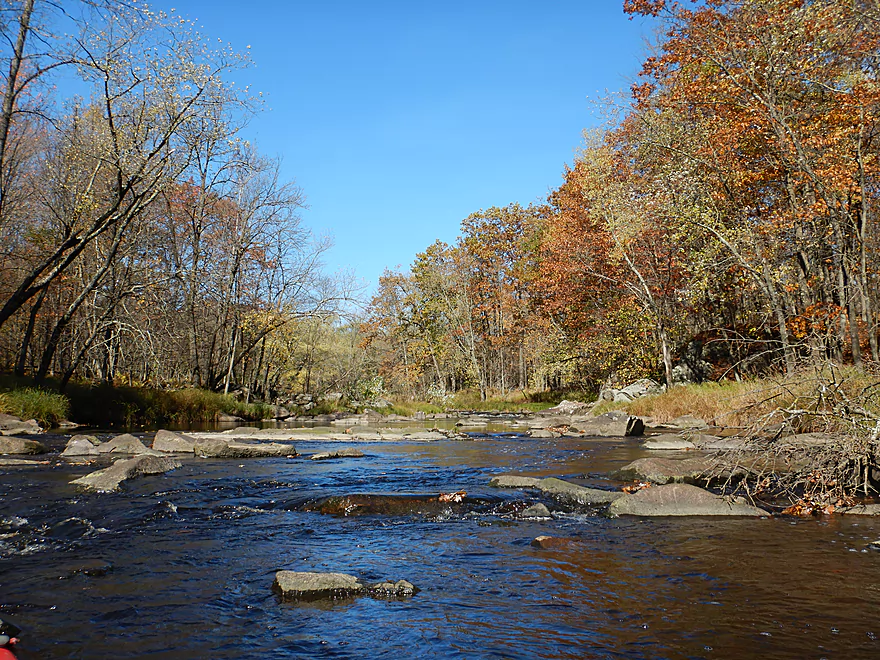
A final broad section
Then the start of the good stuff
Getting out on exposed bedrock to scout the rapids
Class 2 and scenic
I rode the rapids, but did get bounced around good
Reverse view
A cool 15 foot granite wall
The best part of the entire trip
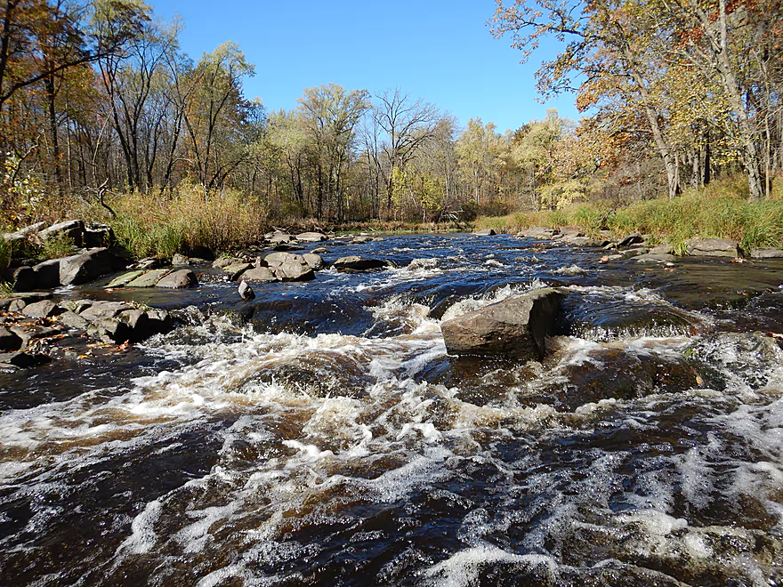
The start of a large boulder garden
Reverse view
Reverse view from the bottom of the garden
The next few miles have many rapids
And more scenic boulder gardens
Some were quite bumpy
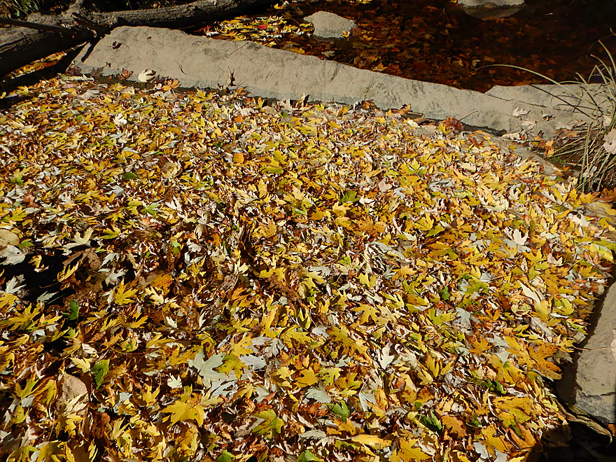
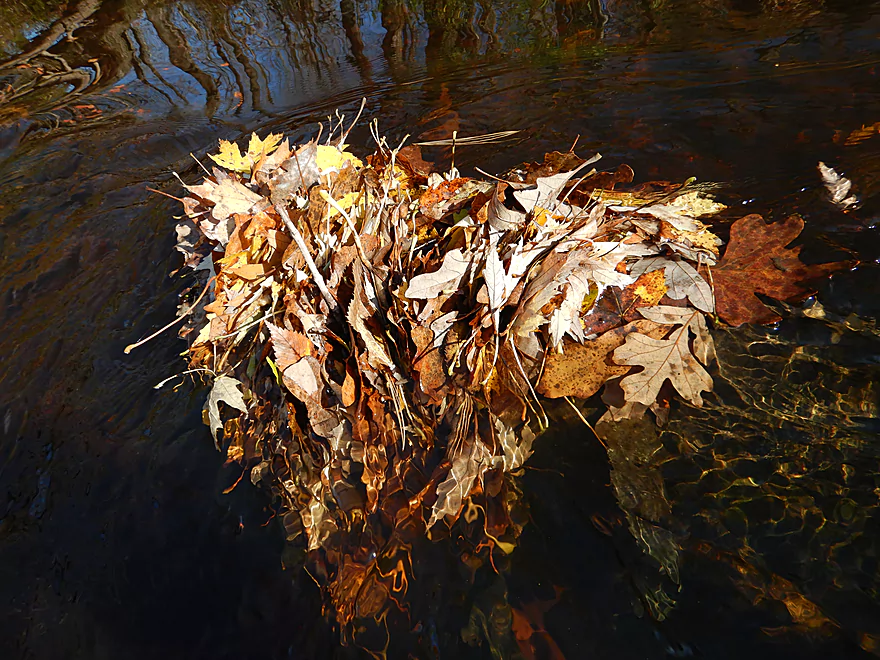
Really cool carpet of leaves
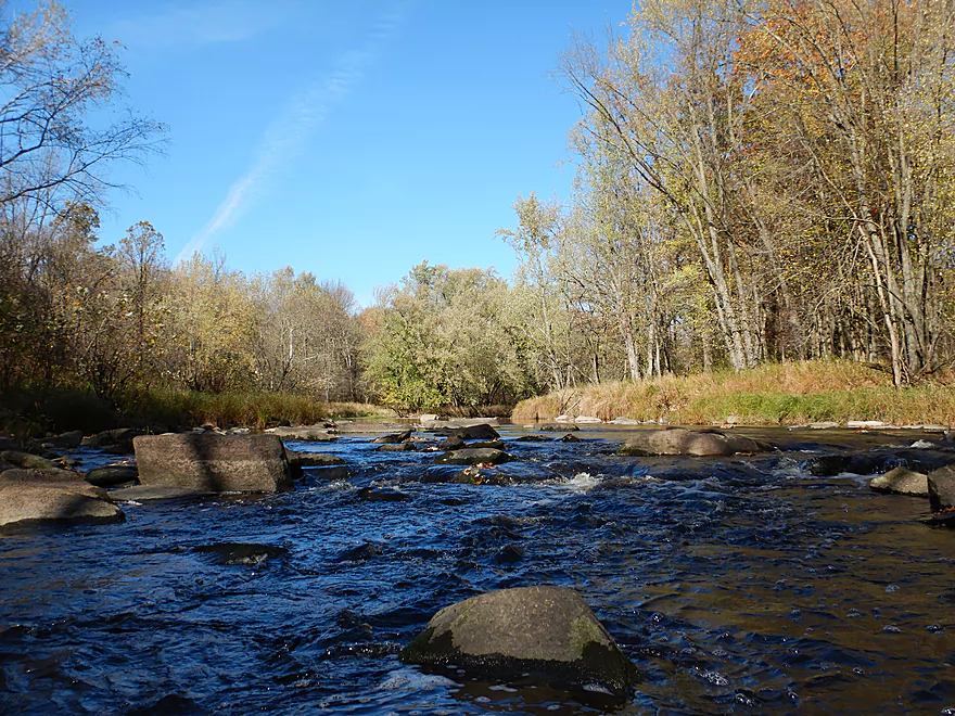
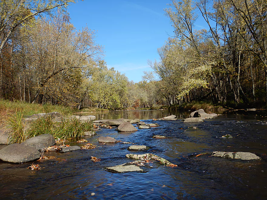
The river alternates between pools and riffles
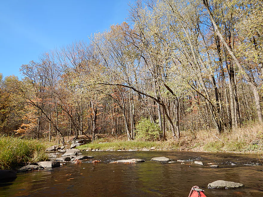
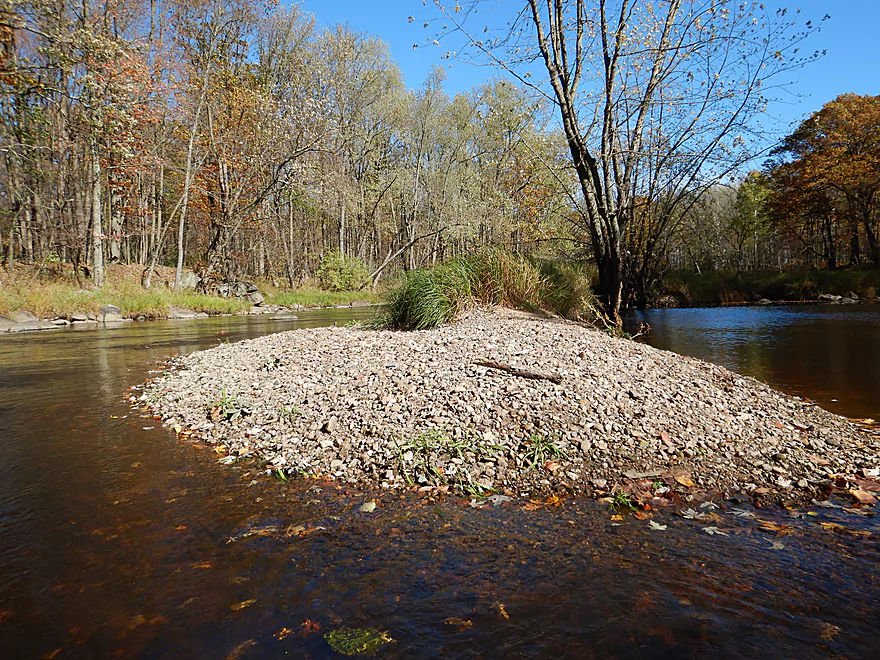
One of several gravel bars
Great lighting…too bad I missed peak color by one week
One of my favorite pictures

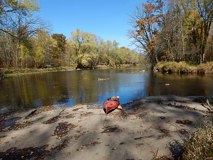
Taking out at Hwy 73
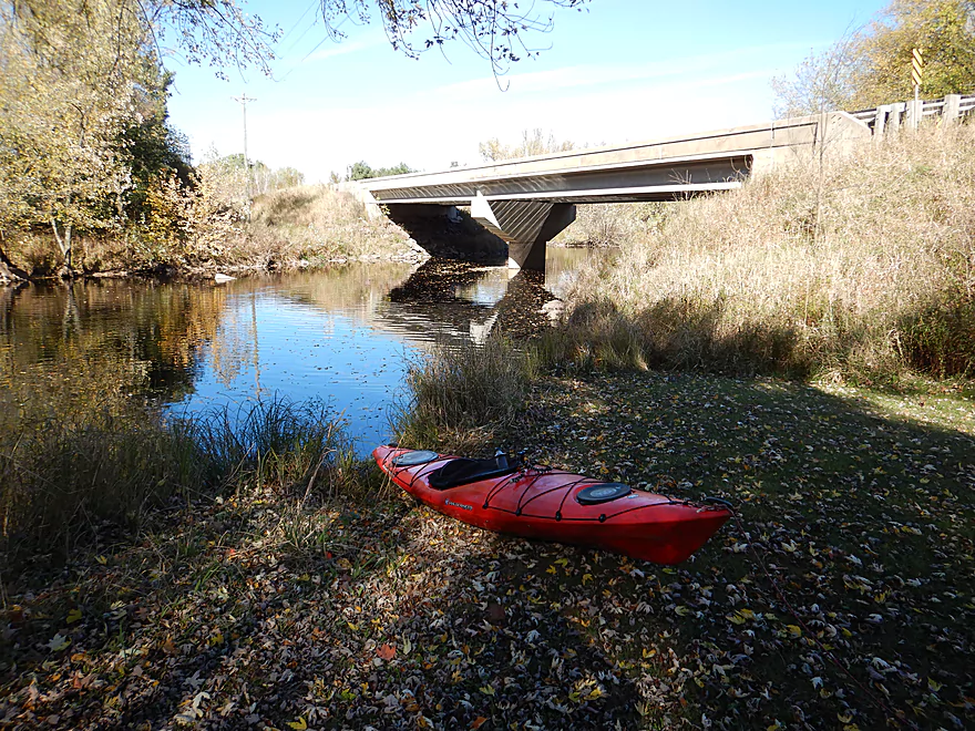
Wayside Park is a great take-out
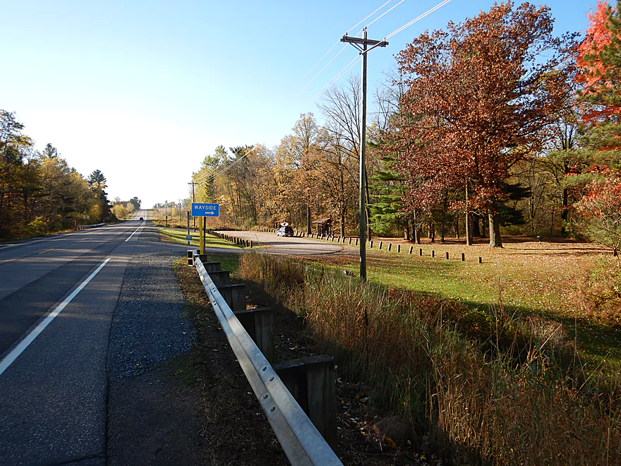
With plenty of parking (unlike Hwy N)
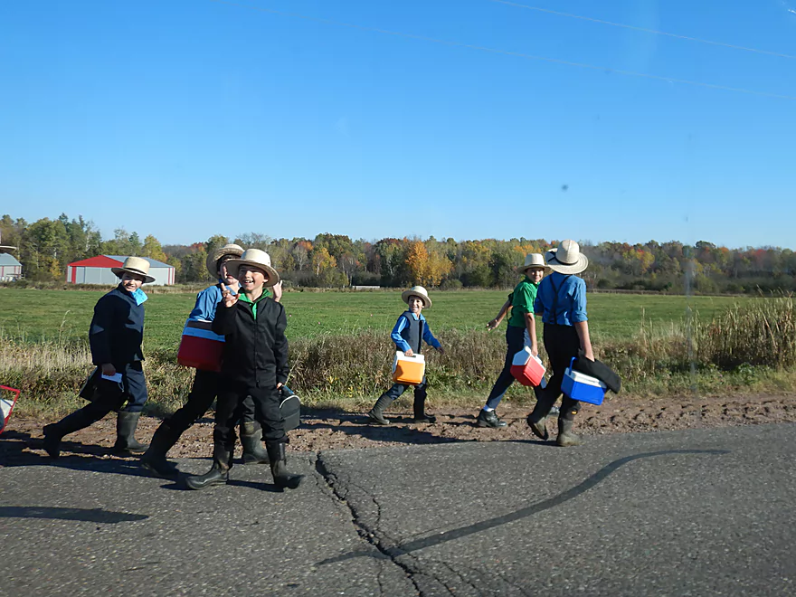
The Amish kids loved my kayak
Popple River


Savvy Wisconsin paddlers know that not only is the Black River one of the state’s truly special paddling rivers…but also that its best kept secrets are hidden in its tributaries. The second largest of which (after the East Fork) is the Popple River which empties into the Black just north of Greenwood (about halfway between Wausau and Stevens Point). The Popple does get some paddling traffic, but mostly on its last two miles starting from Hwy 73 where kayakers combine it with a longer trip on the Black River. For my first trip on the river I wanted to explore the five mile section immediately upstream of Hwy 73 based on a positive review from paddling author Rick Kark.
The trip started at Hwy N, which was weedy with tight parking, but doable. For the first 3 miles, the river was simple but pleasant. Unlike other parts of the Black River watershed that have towering white pines, this river really didn’t have conifers, but did have abundant silver maples crowding the banks and arching over the river. The channel was relatively straight, shallow, clean, and tinted red by tree tannins, while the substrate consisted of small gravel. All in all, a peaceful undeveloped stretch that was nice (especially with the silver maples turning yellow and leaves scattered along the surface), but really wasn’t anything special…and halfway into the trip I was about to give this trip 3 stars.
But then at the 3 mile mark the river undergoes a dramatic transformation as it narrows, picks up speed and becomes much more interesting. The most noteworthy feature of the entire river is a section with a 15′ granite wall, underlain by a large sheet of bedrock, and with Class 2 rapids bouncing through the boulders. There was little room to maneuver through these rapids (especially for 12.5′ boats) and I did get a little wet, but it was pretty fun.
For the next two miles to the take-out, you’ll almost always be within earshot of a set of rapids and an accompanying boulder garden. The granite boulder gardens were fantastic and added a lot of character to the river, but were bumpy to get through at my low water level. The trip concluded at Wayside Park, which was a great take-out. Those that like whitewater and boulder gardens can continue two more miles to the Black River for more of the same. This would then require an additional few miles of Black River paddling to reach a take-out at Warner Drive and would include 3-4 more sets of stronger rapids.
In summary, this was a trip that started slow and, while pleasant, wasn’t anything exotic. Its saving grace was the last two miles which featured some great geology and fun rapids. The key to having a good time on this trip will be water levels. Too high and the scenic boulder gardens will be missing and the river could be dangerous. Too low and you’ll be hitting a lot of rocks.
Hwy N is not the greatest of bridge access options. The nearby shoulders are very steep with little room to park (a fisherman actually parked partway on the road). I launched northwest of the bridge which required I drag my boat down a very weedy 150′ embankment to reach the water. Doable but not ideal. In hindsight, I should have launched northeast of the bridge which looked like a nicer access option (but there is absolutely no parking on that side).
Wayside Park is southwest of the Hwy 73 bridge and was a great public access option. Note, Google maps incorrectly shows this on the west side of the river, when it is in fact on the east side. You can take out by the bridge or a few hundred yards downstream by a small boulder garden. There is a nice public parking lot here with no fees, but no nearby facilities.
I’m not aware of any local liveries.
The bike shuttle was mediocre…only 4.8 miles, no gravel, and not super hilly but there are some. Hwy 73 and Hwy N do get semi traffic and the shoulders are kind of small, which is typically not a good recipe for bike shuttling but it was ok. Just hang on to your handlebars tight when that 60 mph truck passes you with just a few feet to spare.
There are no logjams or dams.
The current in the first half of the trip was slow with a few riffles. The second half of the trip though was quite fast with multiple Class 1 and Class 2 rapids in dense boulder gardens.
The rapids are somewhat difficult in that at times there wasn’t enough space to fit between the rocks. I got “stuck” multiple times which can be tricky because without a good sense of balance it would be easy to get turned sideways and flip. I was able to “hop” over most of the constrictions and didn’t mind, but suspect many paddlers would.
I’m not sure higher water would help significantly as then the channel would become much pushier, but you would still have tight corners and chutes. The strongest rapids are by the granite outcrops. Paddling author Rick Kark presumably went at higher levels and noted that it took all his concentration to stay upright through the “dells”. I myself got bounced around good and actually took on a little bit of water despite my half-skirt. The problem was there just wasn’t a lot of room to maneuver (see photos and videos for more info).
If you do this trip, I recommend a short narrow boat (unlike my 12.5′ Tsunami). This stretch is probably best run in a proper whitewater boat, but I don’t want to discourage rec paddlers as you could simply portage some of the rapids and enjoy the river just for its scenery. Ideally a good Samaritan would go through at low water levels in waders and rearrange some of the key rocks to make the boulder gardens more navigable.
This is often a shallow river and sure enough that was what I experienced. I had a good time, but did hit many rocks on the riffles. There is a gauge ~25 miles downstream on the Black River near Neillsville which should correlate decently with the Popple River. Here is a rough depth guide:
- 80-150 CFS: This is likely far too low for paddling.
- 151 – 250 CFS: Extremely bumpy and you’ll have to walk multiple spots. You could do it, but you’ll have a better time if you wait for higher levels.
- 251-350 CFS: I went at 301 CFS. Much of the river (especially the upper portions) was easily navigable, but I did run aground a few times (never had to get out). What was quite low were the boulder gardens and rapids in the last two miles of the trip. These were quite bumpy.
- 351 to 550 CFS: My suggested target range. I suspect most of the rapids will have good padding and you shouldn’t hit too many rocks. Some of the rapids might be a bit pushy though.
- 551-700 CFS: The rapids could become strong and difficult at this point. Many of the scenic boulder gardens may become submerged. Only recommended for experienced paddlers.
- 701+ CFS: Probably only suitable for hardcore whitewater paddlers. Note, I did see evidence that the Popple flash floods so be careful during high water.
Not much…a few eagles, and a pair of deer crossed the river directly in front of me.
- Upstream of Crowley Park: The river splits into a north and south fork, neither of which I know much about. Likely more logjams, but there should still be some good navigable sections hiding here and there. If you the reader knows more, leave a comment at the bottom of the review.
- Crowley Park/Owen to Hwy N: 5.4 miles. Likely slower and less interesting with far fewer rapids, but it still is a good prospect and features neat parts like this.
- Hwy N to Hwy 73/Wayside Park: 5.2 miles. Very nice trip. Reviewed here.
- Hwy 73 to Black River Confluence: 1.4 miles. Good leg with several Class 1 rapids, one Class 2, and a small outcrop. This stretch can be rocky and congested during shallow flows.
- Additional Black River Trips:
- Confluence to Warner Drive: 1.0 miles. Features several rapids including Hemlock Rapids which is Class 2-3 (depending on water levels). There supposedly is an access by Warner Drive.
- Further Trips: Lot of good paddling options on the Black. For an overview, click here.
Trip Map
Overview Map
Video
Photos Size:
My daughter and I did this trip today. I was very unsure what the water levels were going to be like; the gauge was at Neillsville is at 1,140CFS(!) which based on your review would be crazy high; but the gauge on the Big Eau Pleine at Stratford was at 109CFS, which based on your reviews of that river is quite low. Geographically these gauges are about the same distance away. I knew that the big storm that came thru Wed hit Neillsville hard, but things were calmer between there and Wausau (which also got hit hard), so my guess was that this section of the Popple would be somewhere between those two relative flows, putting it at a pretty decent level, but I was nervous that it was going to be on the high side.
As it turns out, it was actually a little low. We took the trip on a tandem SOT kayak and got hung up several times, but only had to get out twice. I saw evidence on the banks that the water had been 8-12″ higher recently (probably from the storm Wednesday), which I think would have been a really nice level to do it at. I think our level was maybe just a little lower than when you did it based on your pictures. Overall a fun trip, but I found it very interesting that the gauge at Neillsville wasn’t very indicative of the level of this river section – and in fact, at least after this weather pattern that had gone thru, the gauge at Stratford seems to be a better indicator.
Thanks for all your info – I use it alot!
Thanks for the comments. Your gauge observations are most interesting. In hindsight I likely should have referenced the Big Eau Pleine Gauge which is likely a better representation.
I grew up less than a mile from the put-in reviewed above, and spent my childhood fishing the section above County Road N. Loved your review.
Some notes:
-The gauge at Neillsville will not be indicative because the flow of the Black River is typically (I’d guess) between five and ten times greater than the Popple at their confluence, and the rivers drain different watersheds. (The Black comes from forested land near Medford, the Popple from Spencer swamp and farmlands near Dorchester, as well as Sportsman’s Lake and the Mill Pond near Owen. ) Thus, the river levels do not always correlate, the Popple drains more quickly… and in any case the Black River will dominate at the gauge.
-The area north of hwy N is similar, but as you guessed, has fewer rapids. The one exception is the point you pinned on the map… this is known as “Mixie’s Dam”… apparently this was the site of a water-driven grist mill long ago, long since washed out. It is a 5’-10’ drop through a bedrock formation around 30’ long through which the river flows, with a long, straight boulder garden below it which is actually at a noticeable grade. Mixie’s might be fun when the water is at a medium/low level (though perhaps not navigable when low…) but could be a noteable hazard in high water. The boulder garden, too, may be a bit hazardous if the water level were just so… many boulders to get trapped against on a bit of a grade. I’d suggest scoping these out before shooting them… but then again I am not a canoeing type. I’ve mostly waded the river to fish it in late May and June.
Thanks for capturing my favourite river in the whole world.
Thanks for the feedback. I think you’re absolutely right about the water levels. The Neillsville can’t be trusted…yet I’m not sure what else you can use. The information Mixie’s Dam is very interesting…I’ll definitely have to do that stretch.