
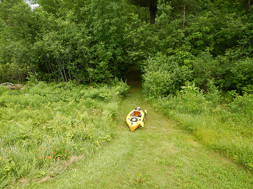
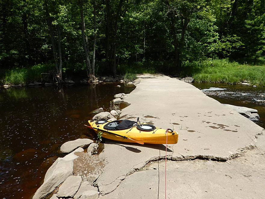
Nice put-in path near Hwy T
You can also launch by Hwy 97 (more difficult)
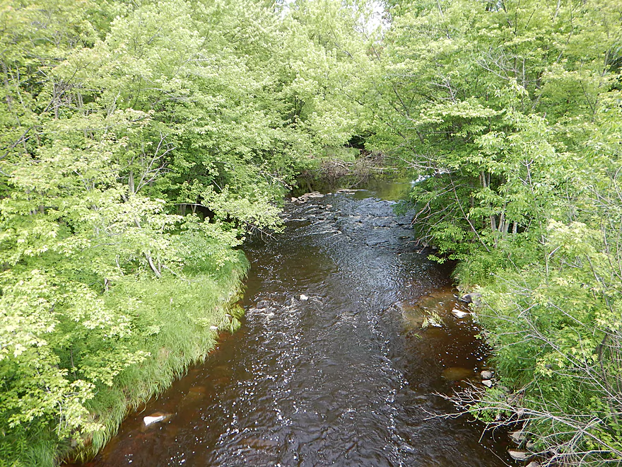
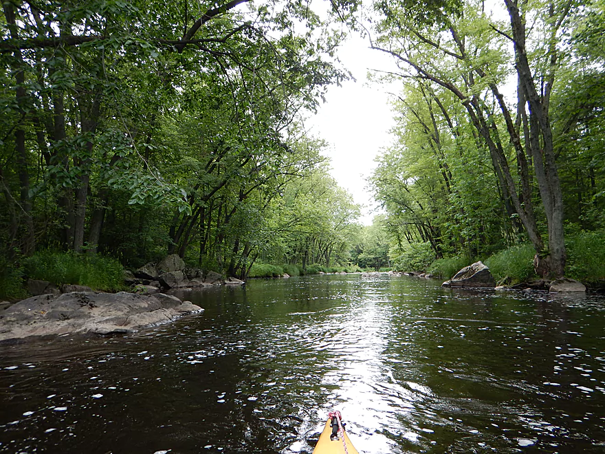
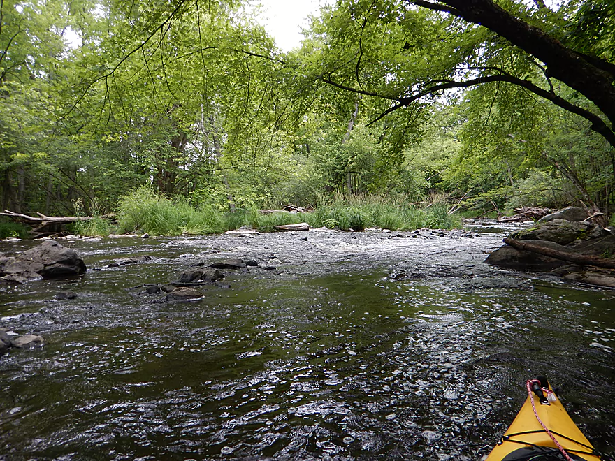
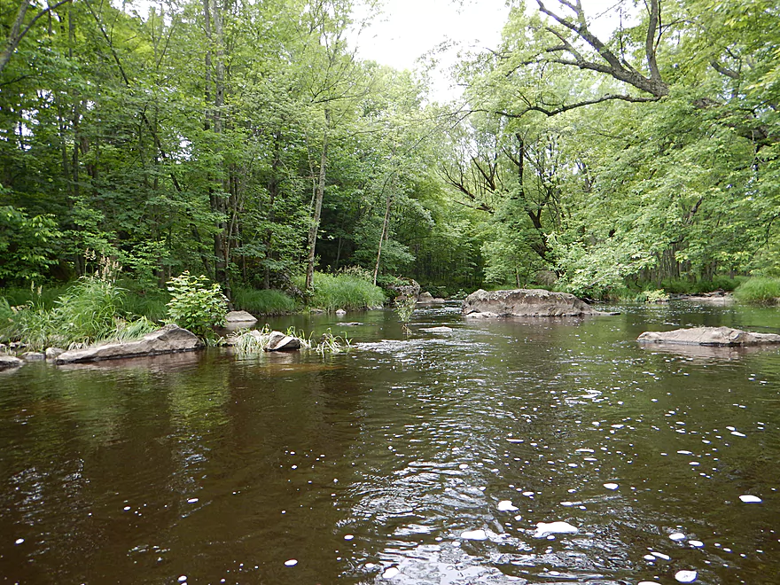
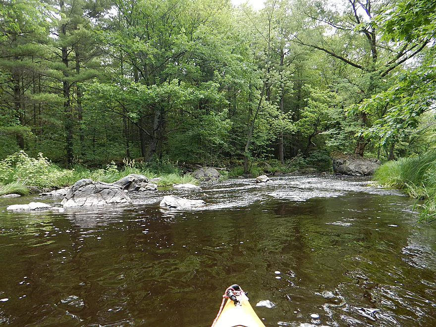
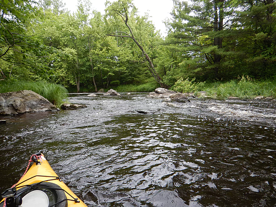
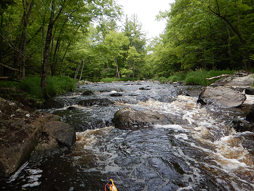
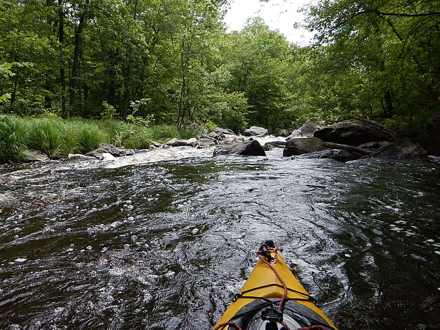
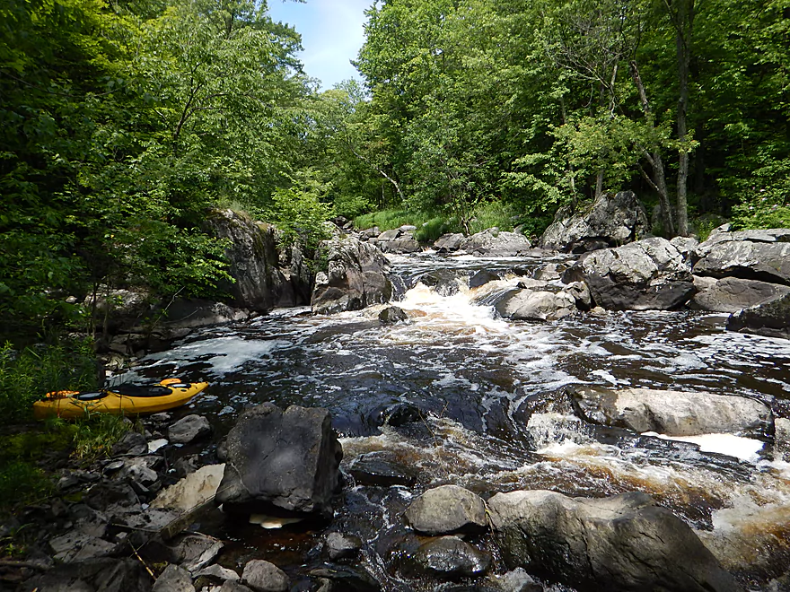
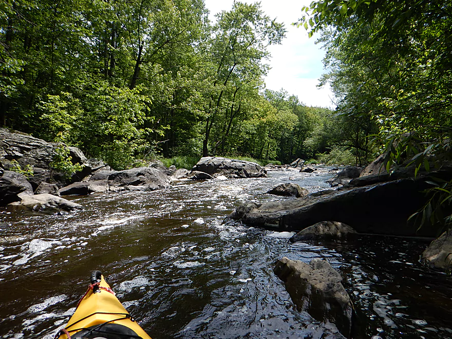
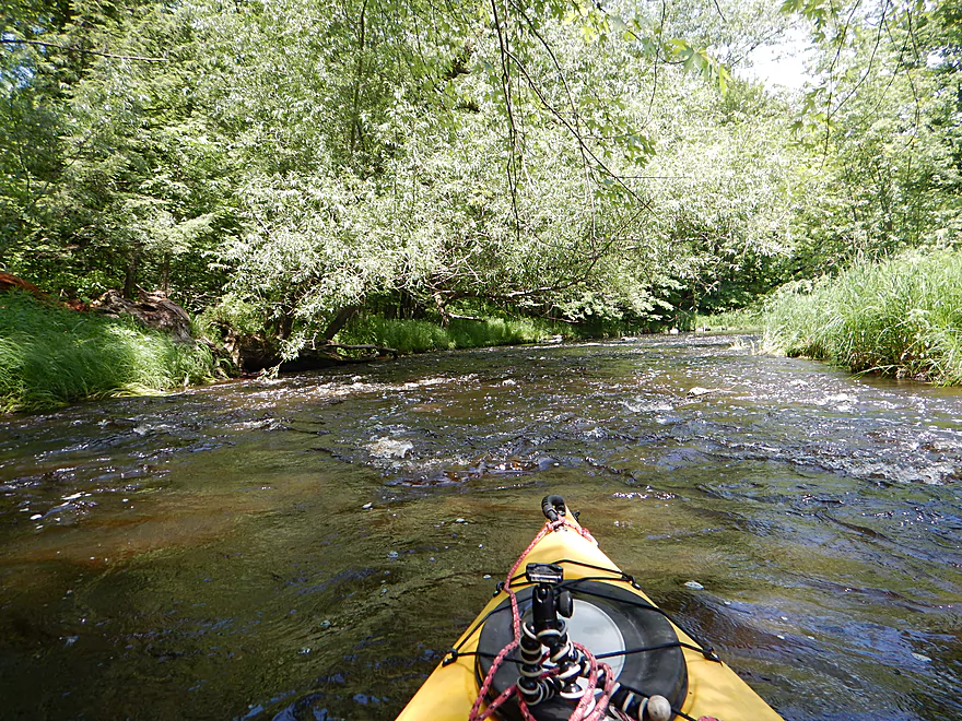
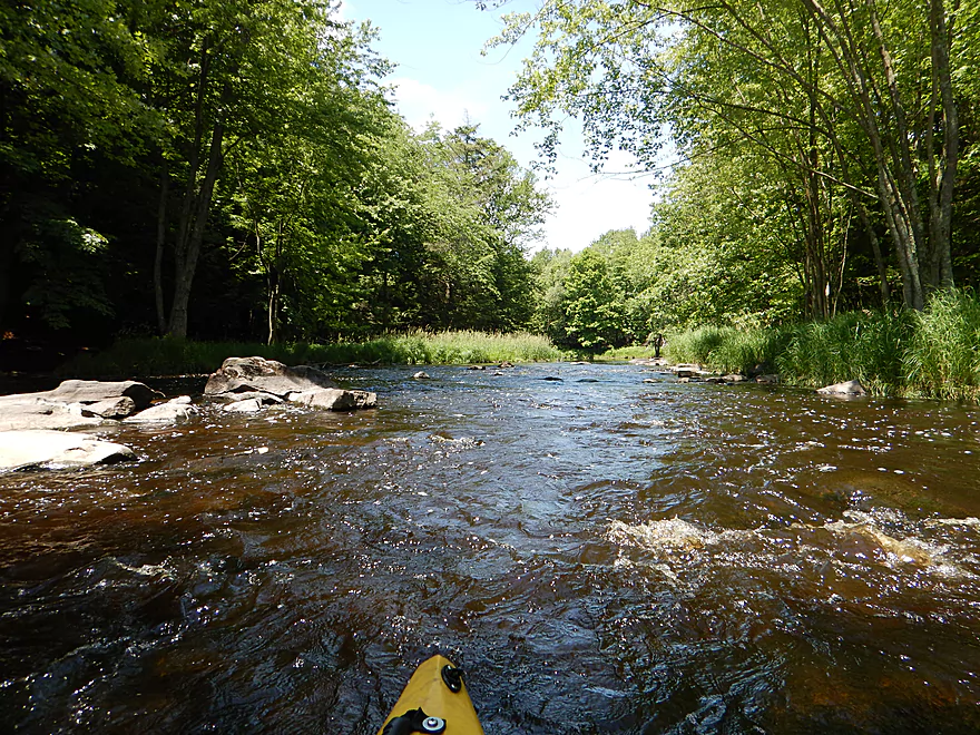
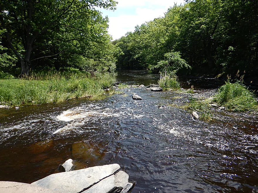
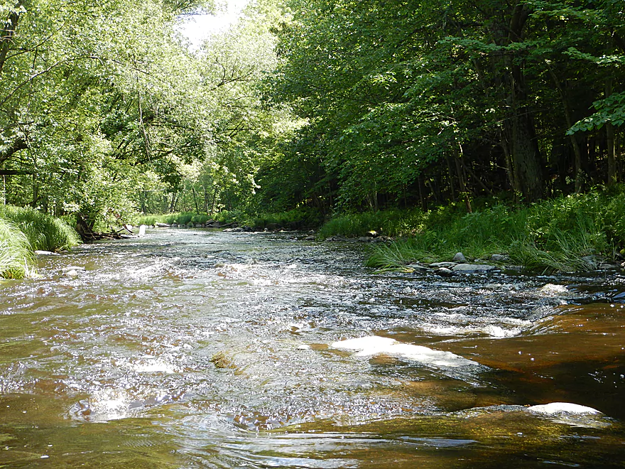
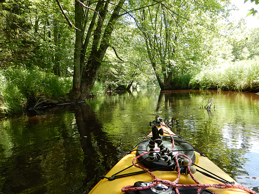
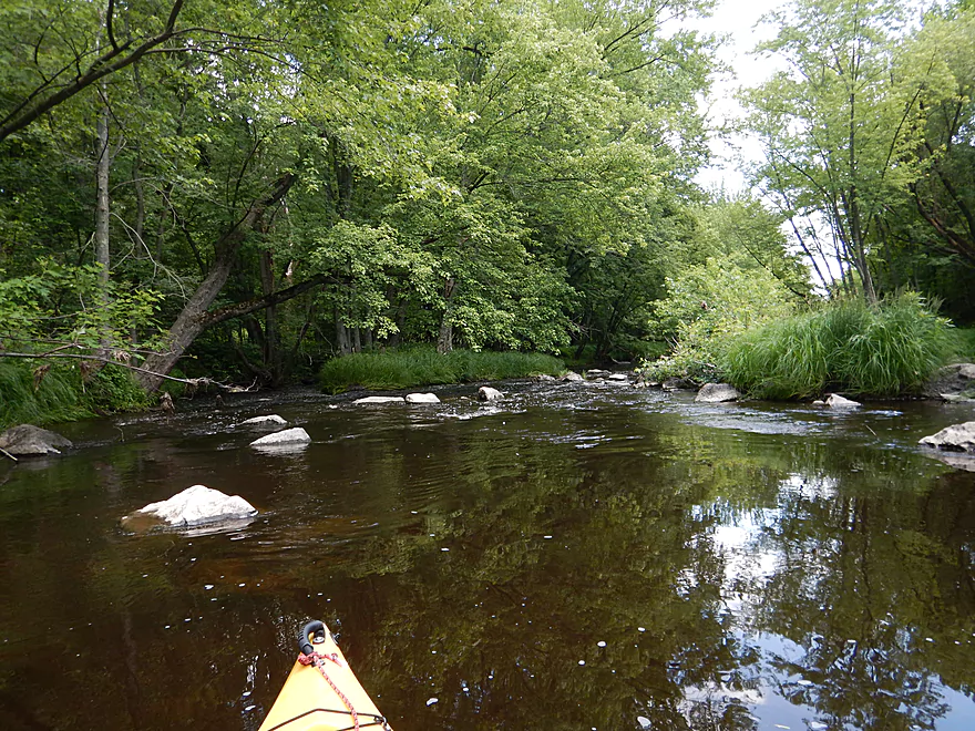
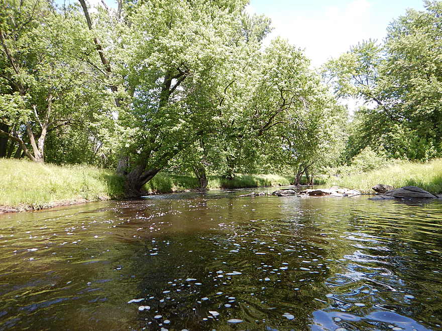
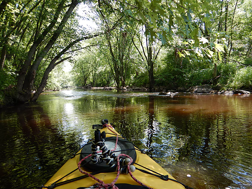
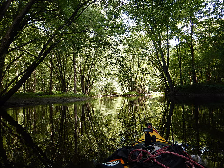
Looking upstream
Scenic start to the trip
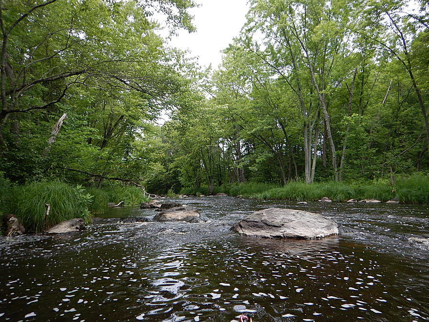
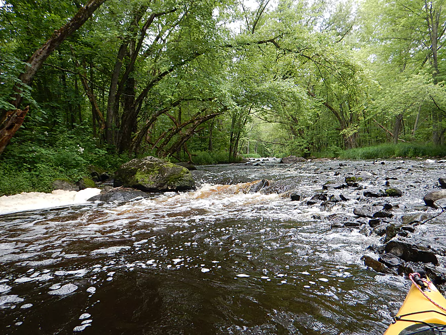
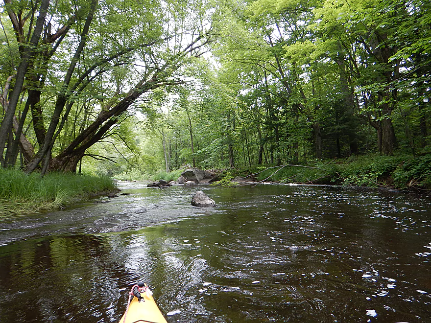
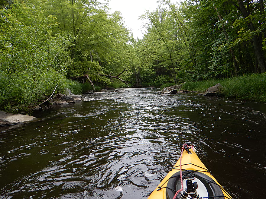
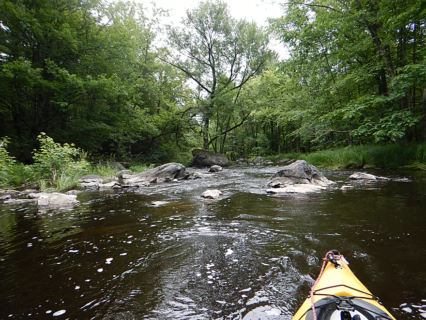
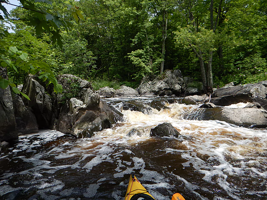
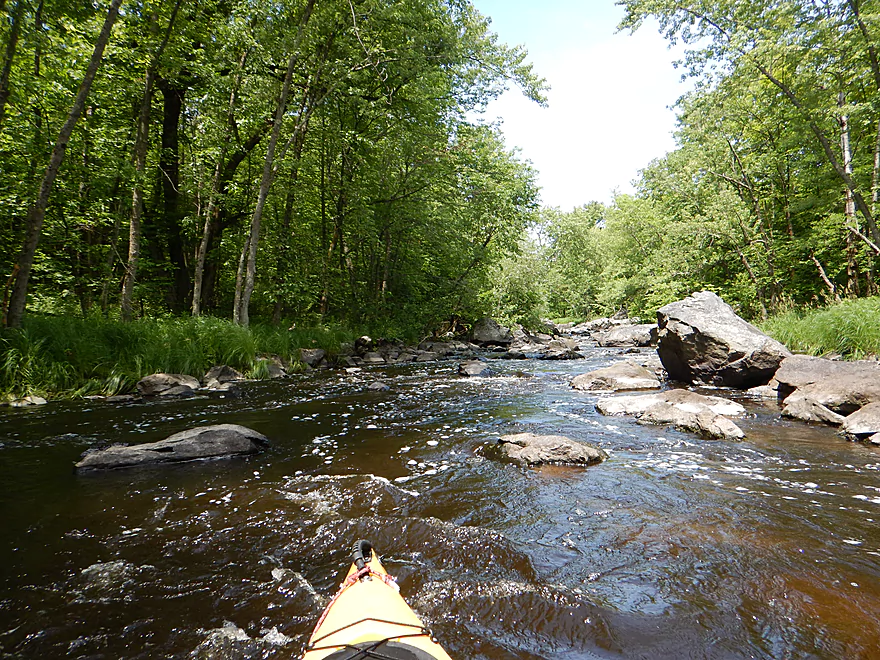
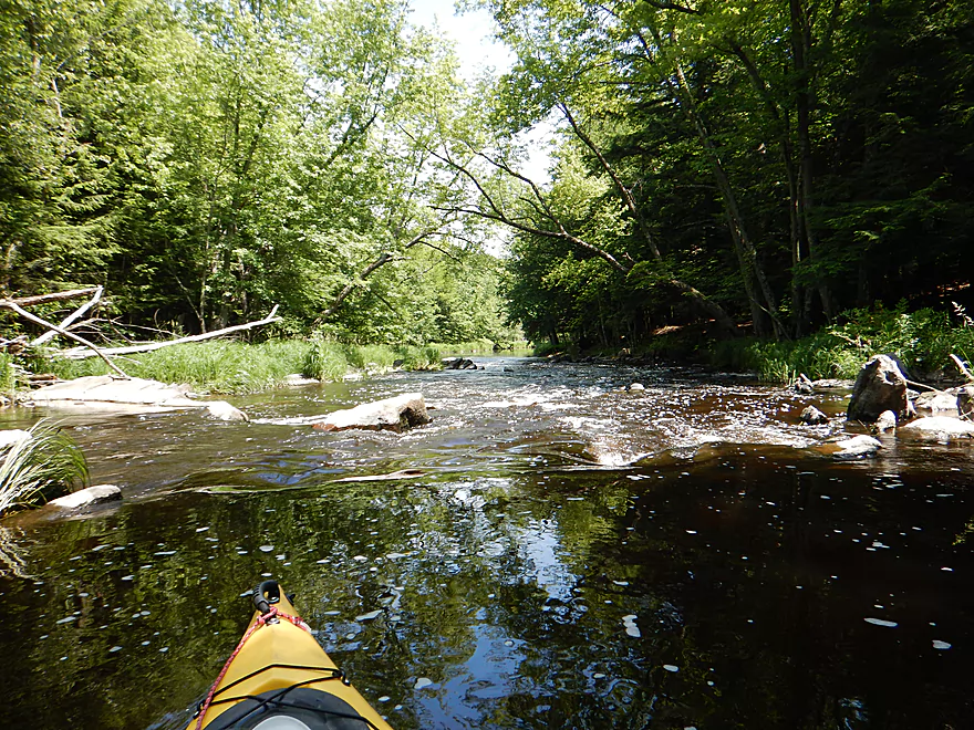
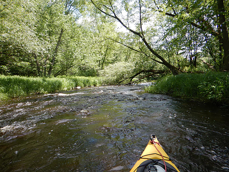
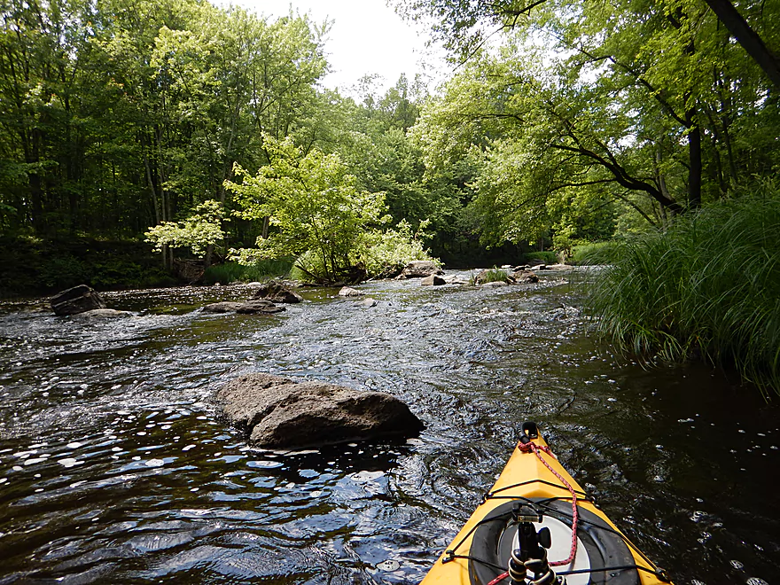
Fast and rocky
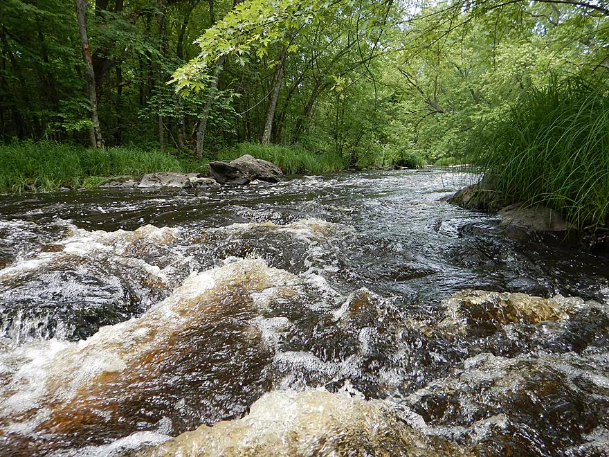
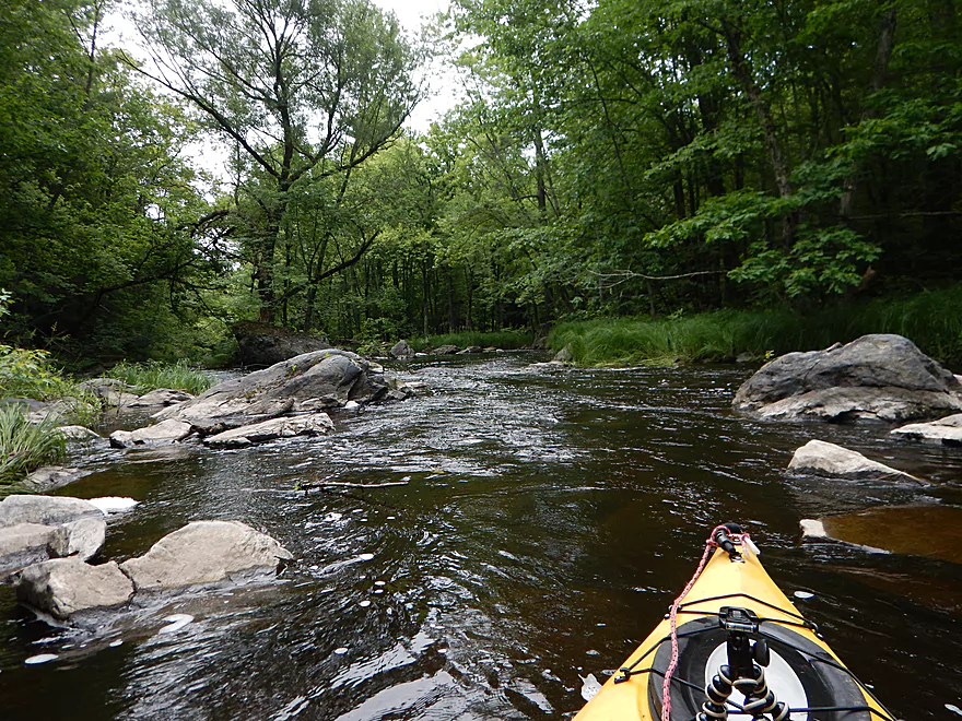
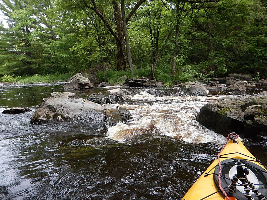
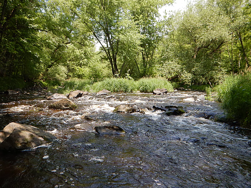
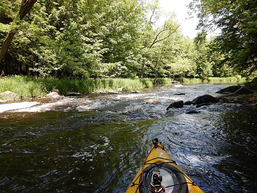
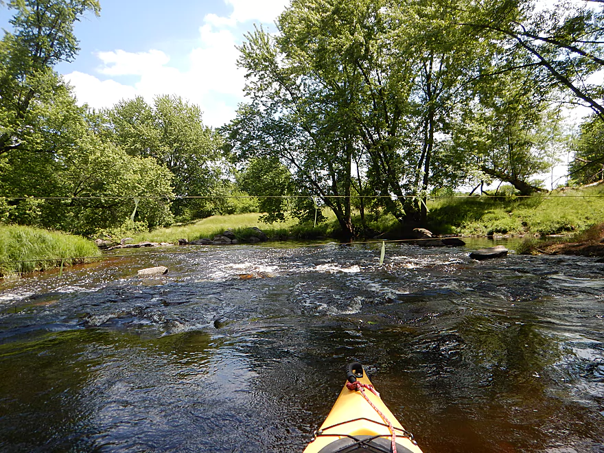
First decent ledge of the trip
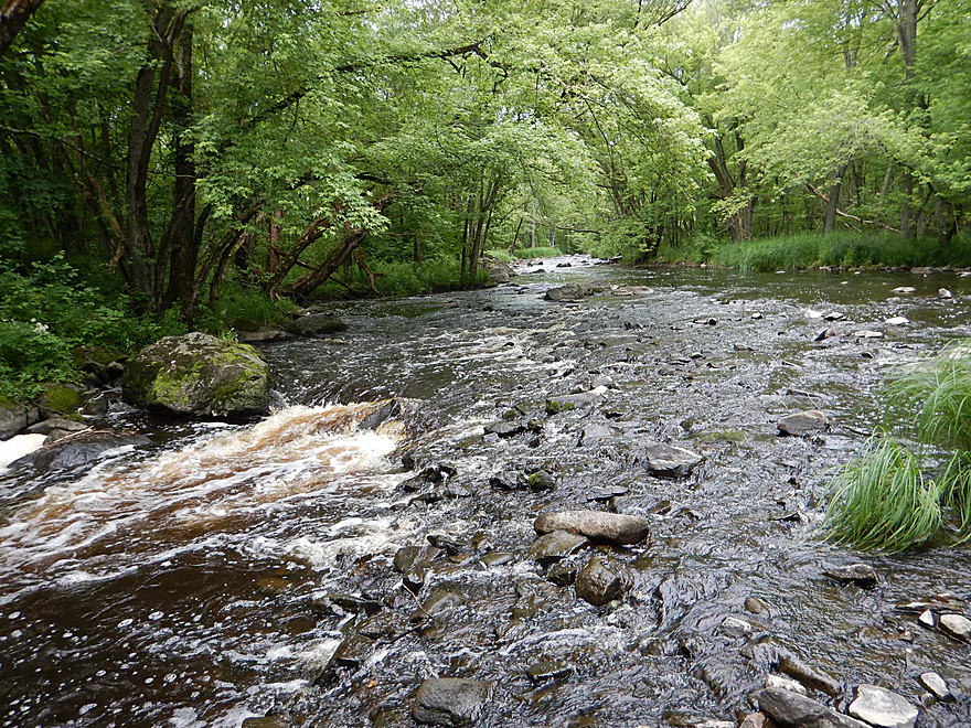
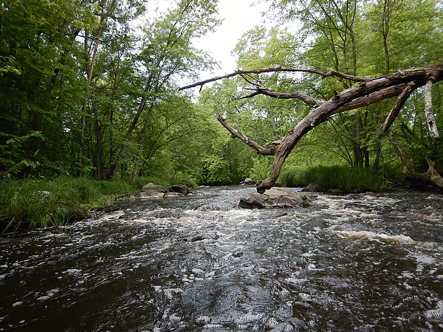
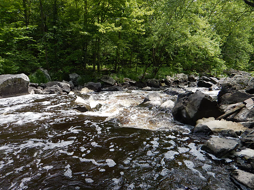
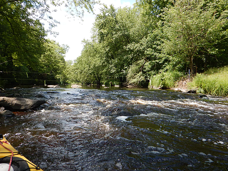
Another fun ledge
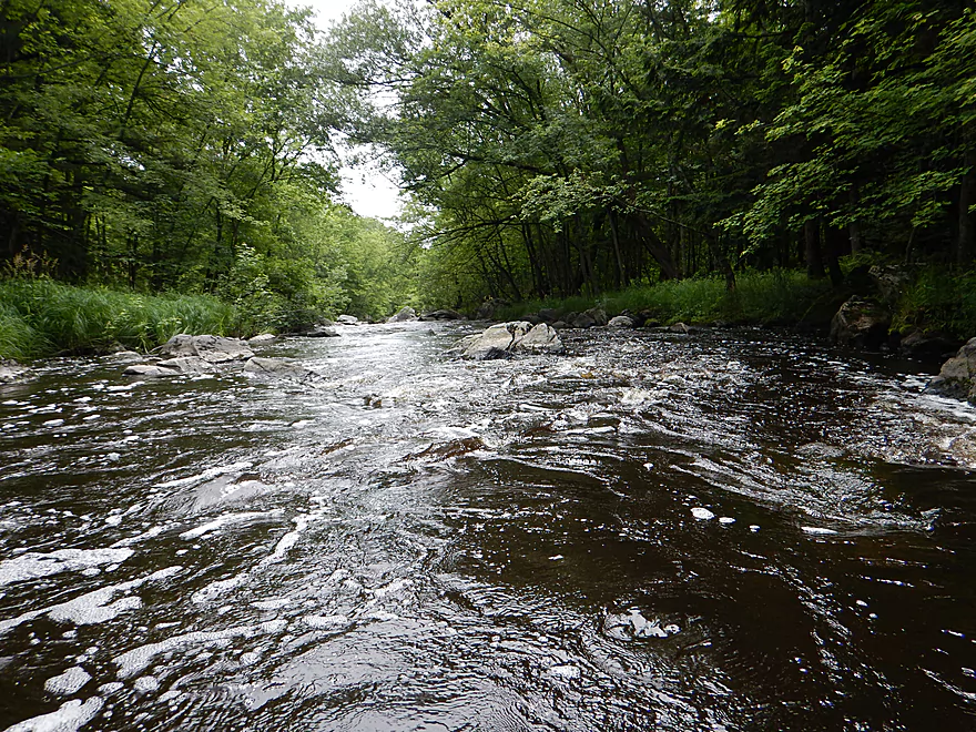
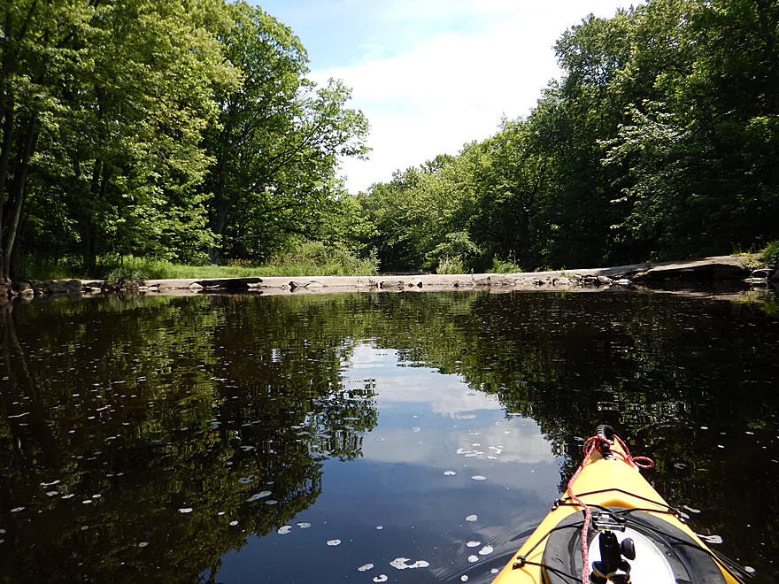
Reverse view
Better view standing up
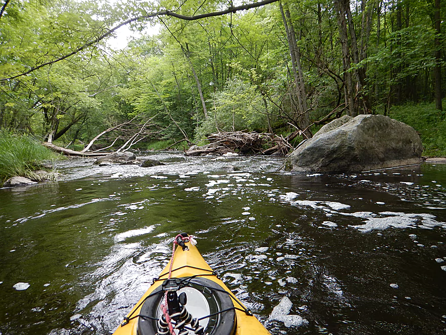
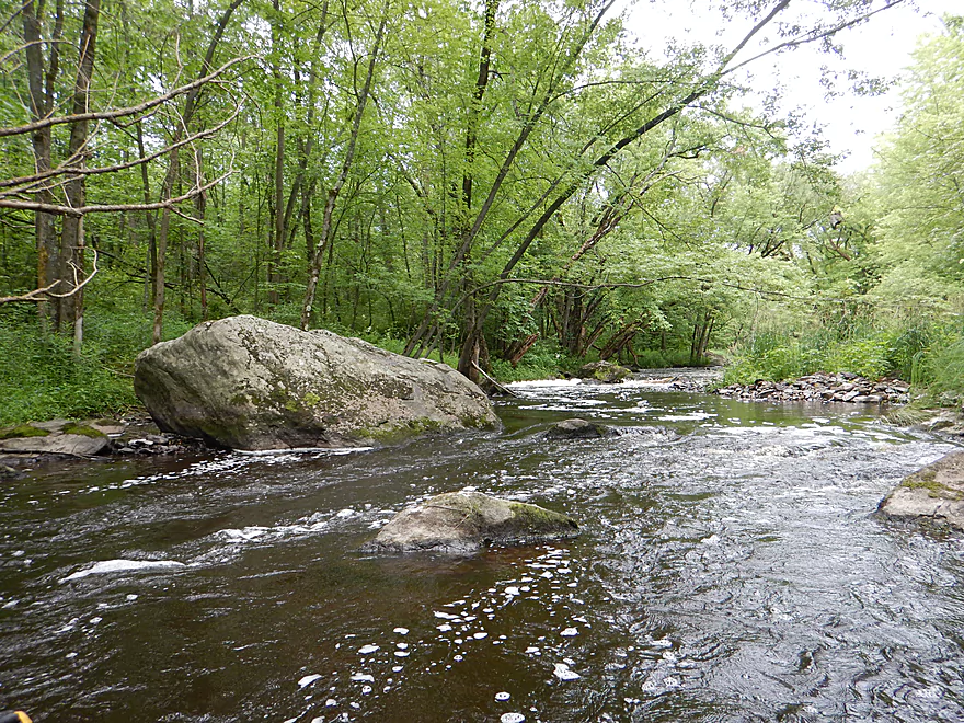
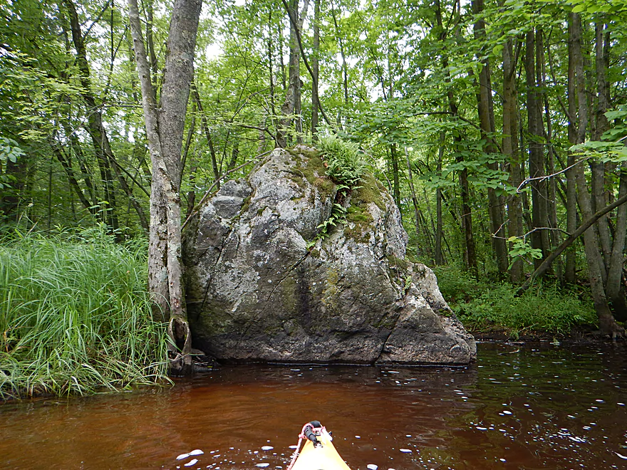
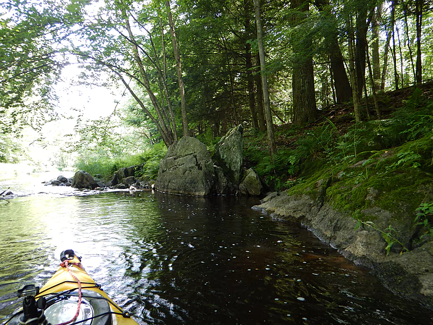
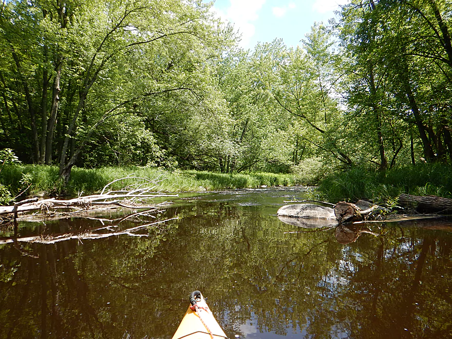
One of many large boulders
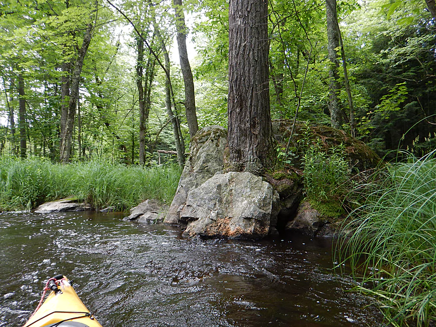
Tree has apparently split the rock
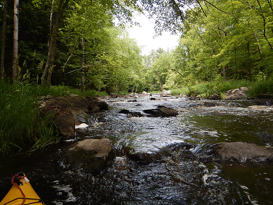
Island rapids…left is too narrow
Middle is also too narrow
Right channel barely has enough water
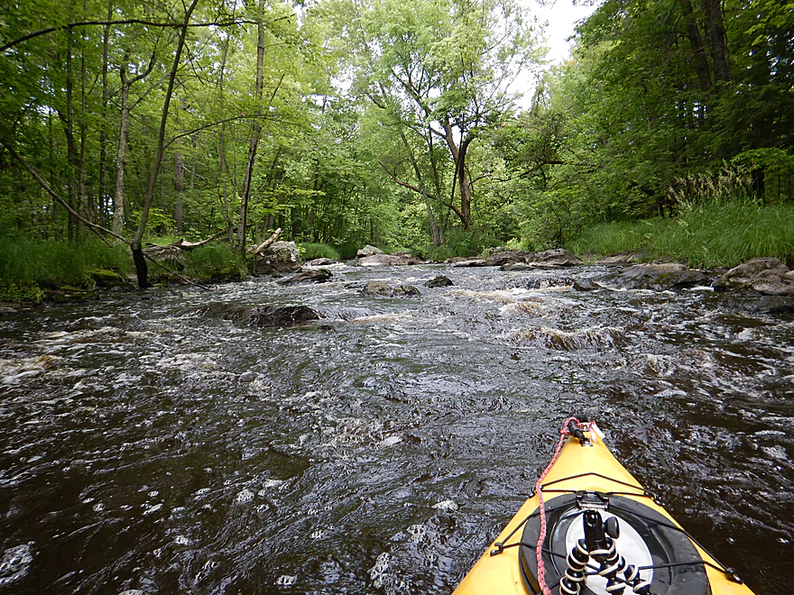
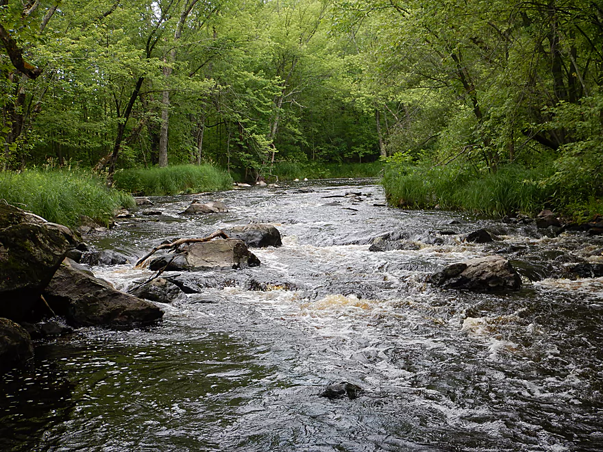
Rapids starting to get more serious
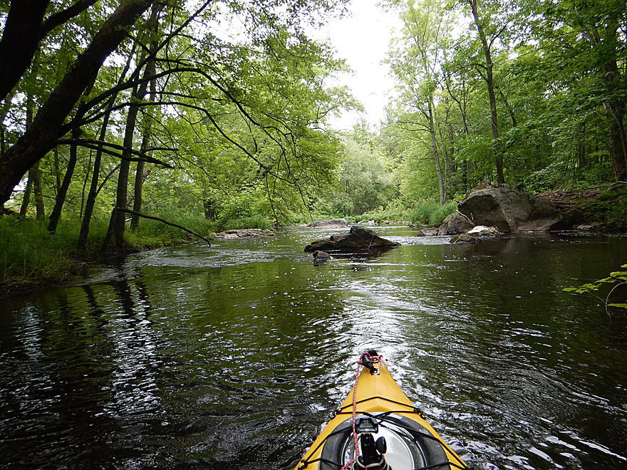
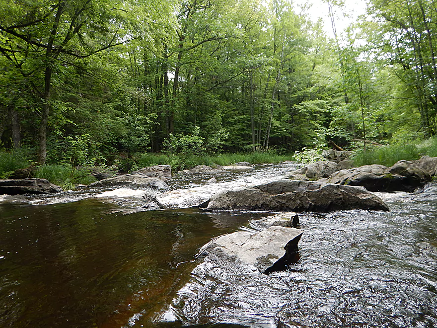
Start of the class 3 Dells
The biggest ledge
Looking at the next bumpy drop
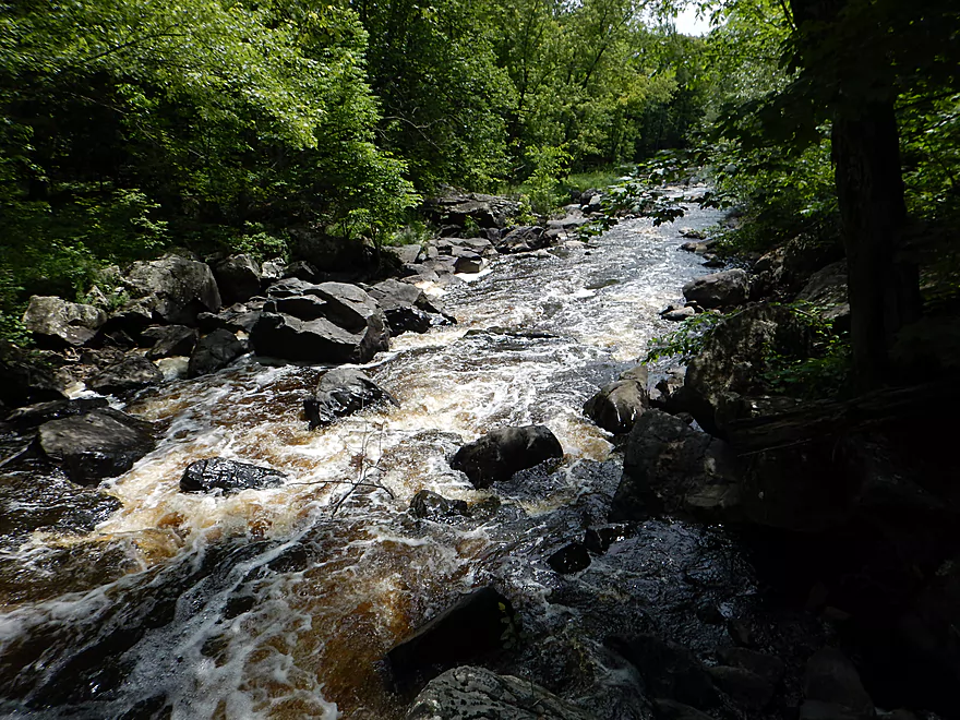
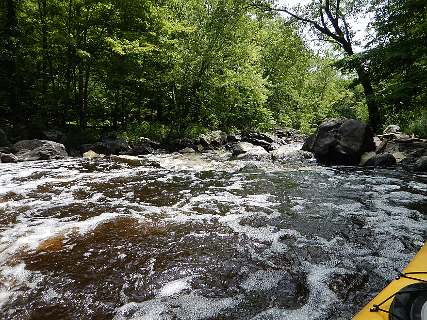
Downstream view
Reverse view (favorite picture)
About to run the next ledge
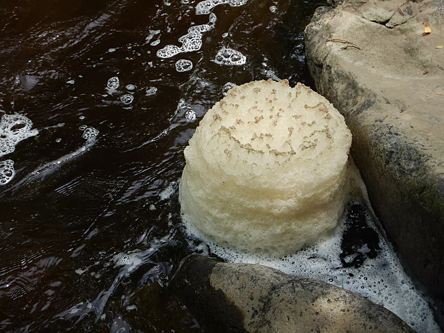
A foam wedding cake created by circular currents
View from the bottom
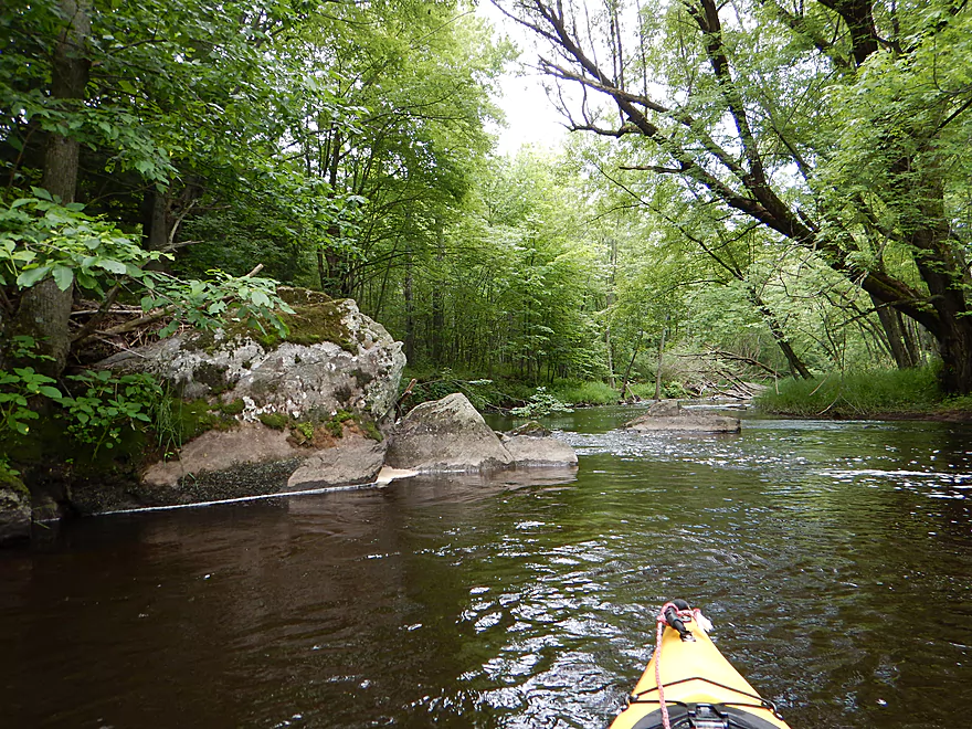
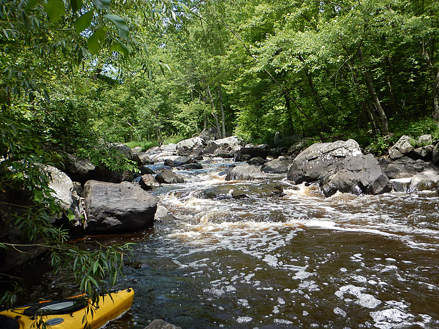
Attractive boulders
Looking back at the boulder field
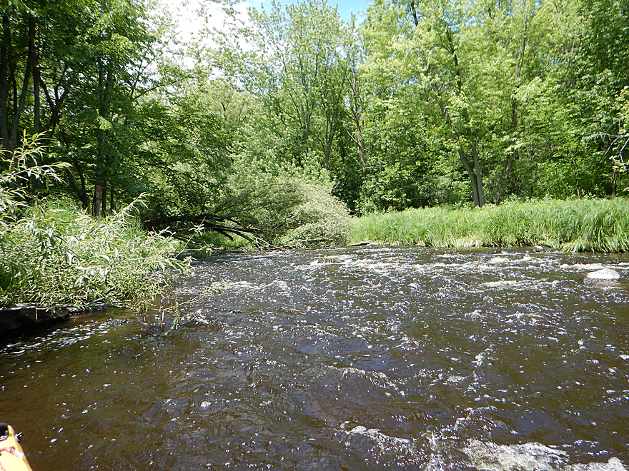
One of the bumpier set of rapids
A boulder of spear points
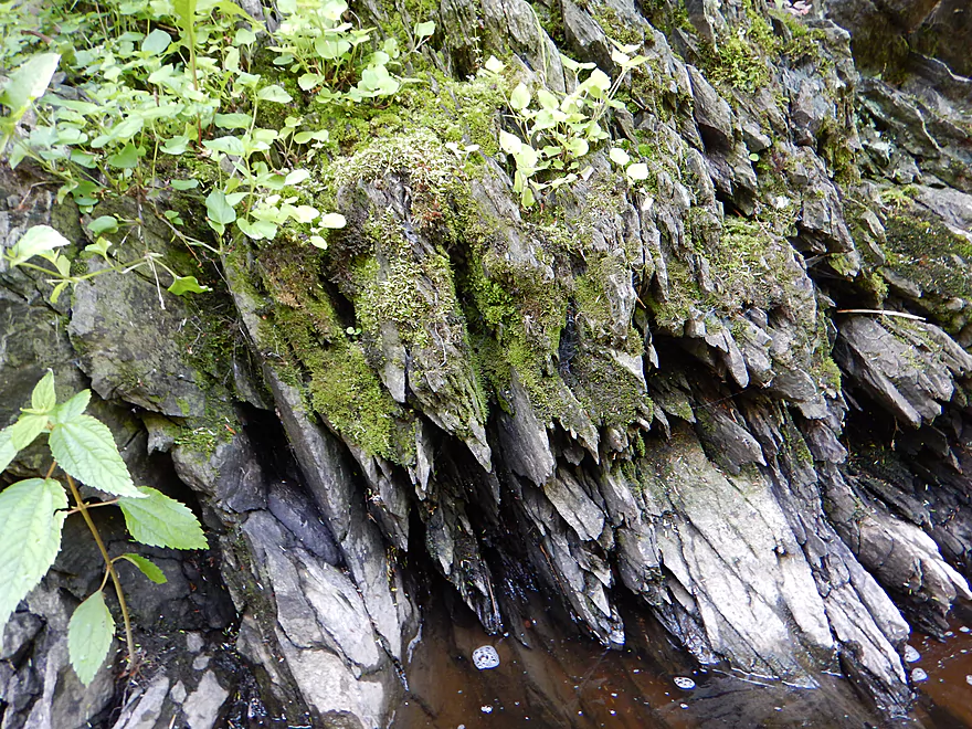
Close-up
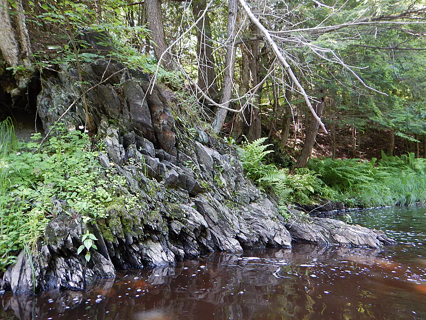
A couple of nice rock walls on this trip
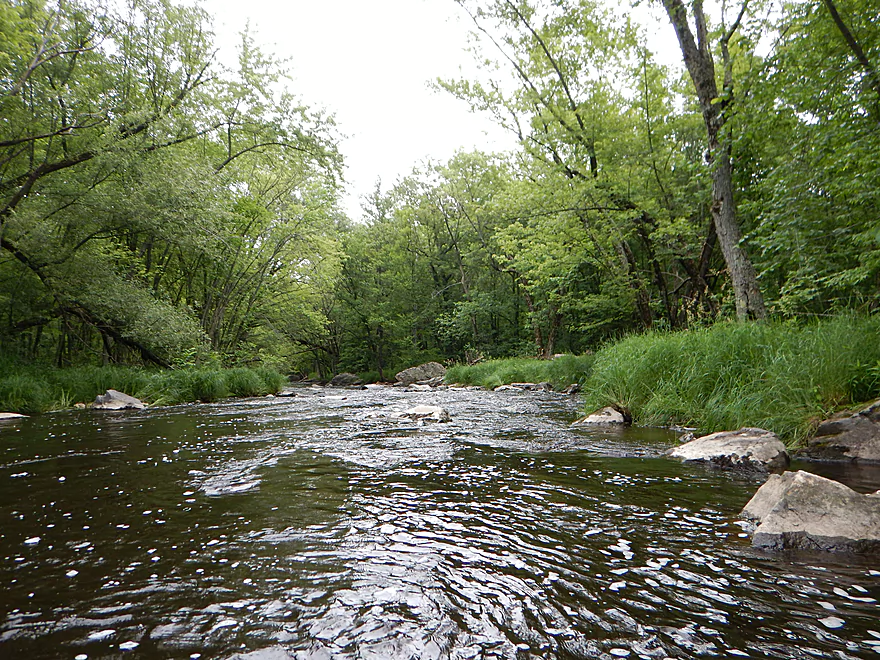
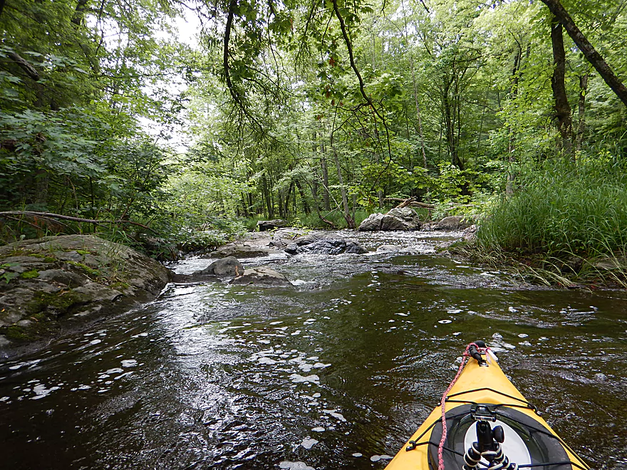
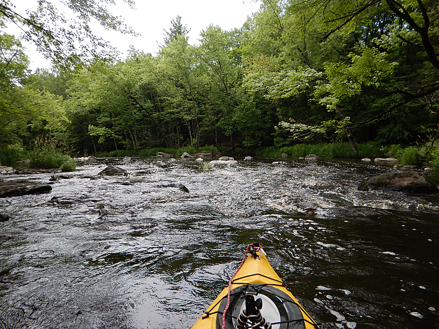
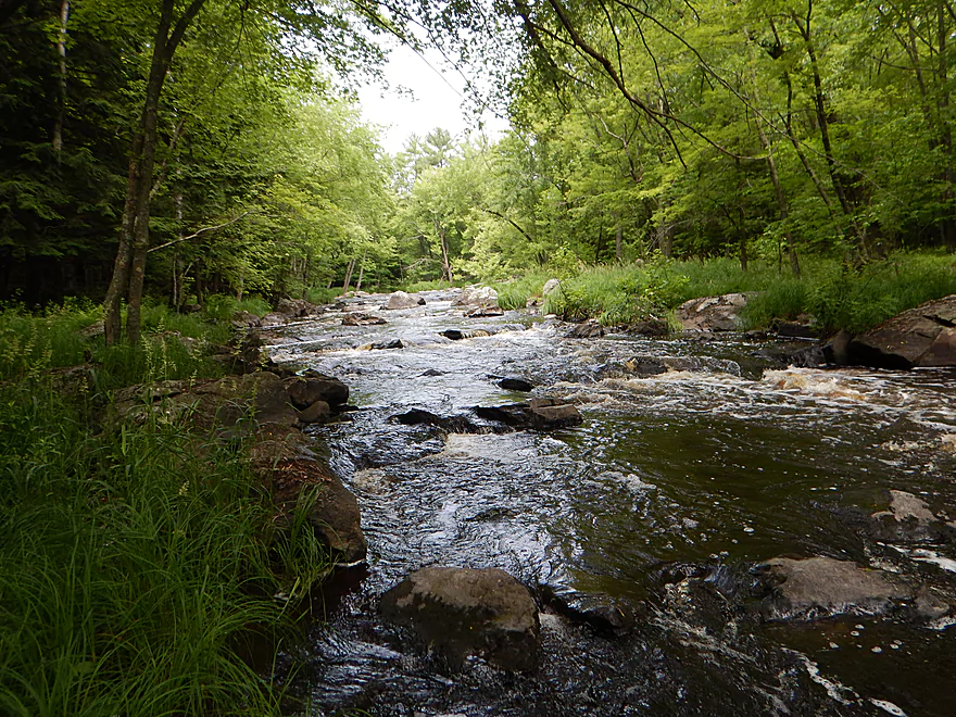
Rapids are starting to get smaller
Still fun
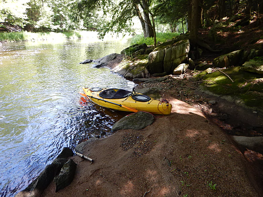
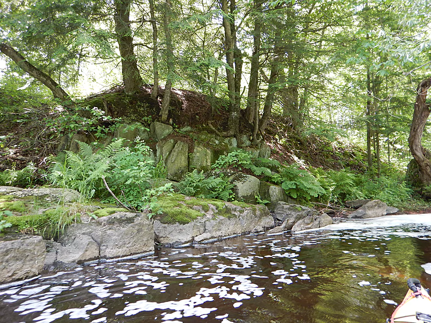
Only sandbar on the trip
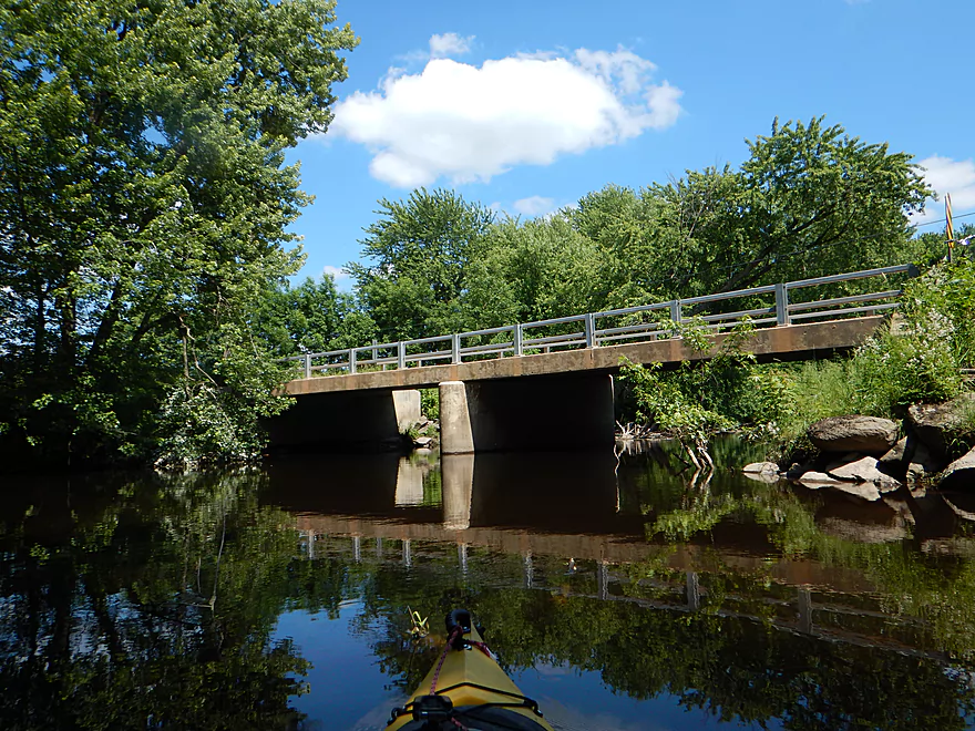
A VERY low bridge
Have to portage
Rapids below the bridge
Easy portage (this is dangerous in high water though)
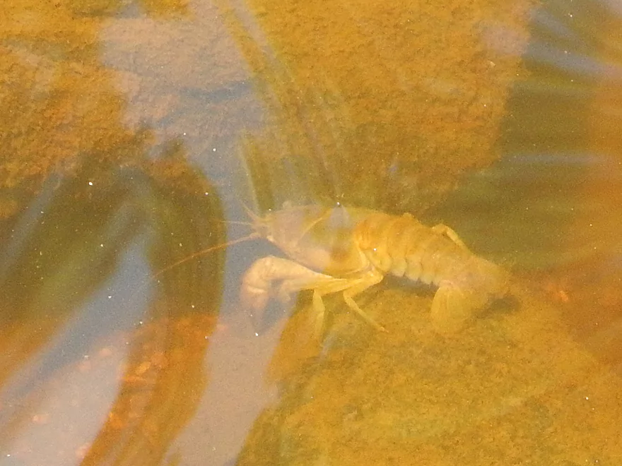
One of many crayfish
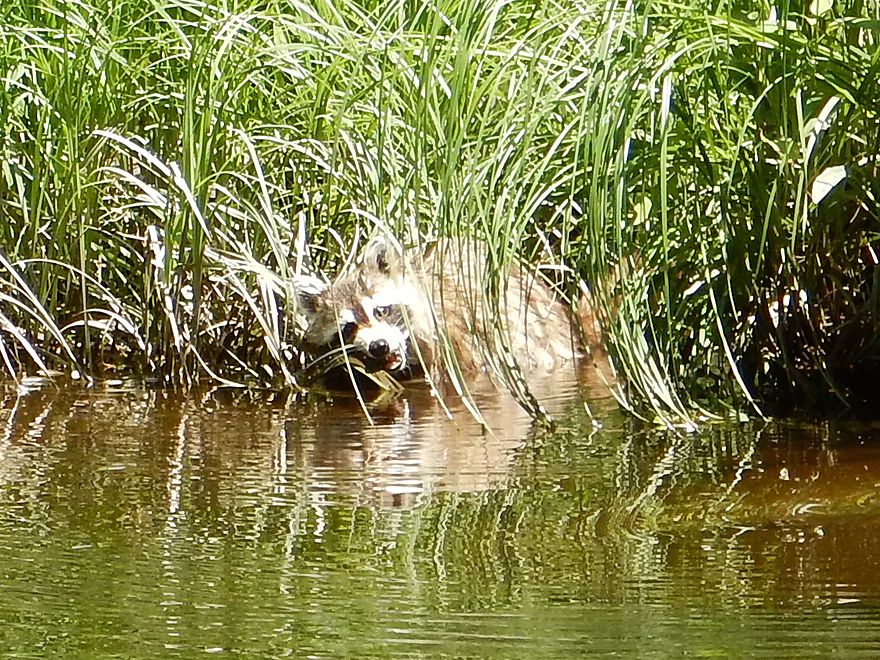
A raccoon using grass to clean his whiskers
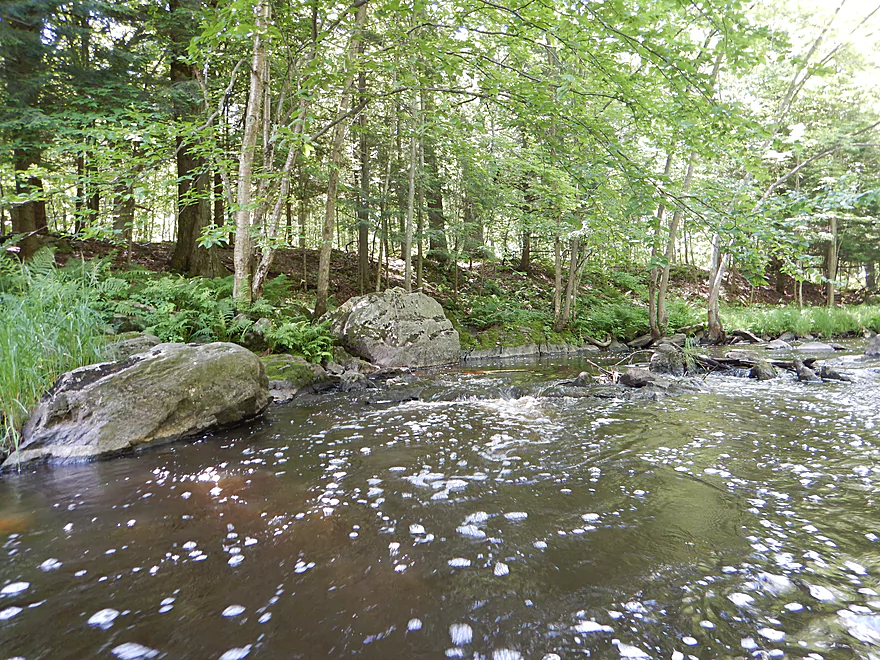
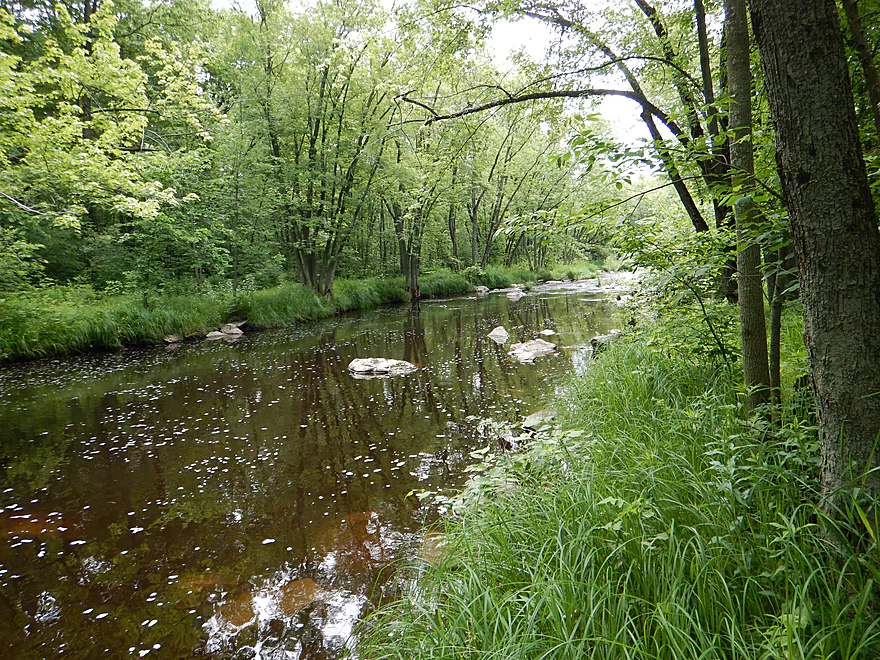
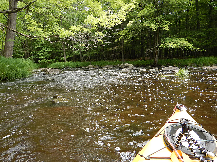
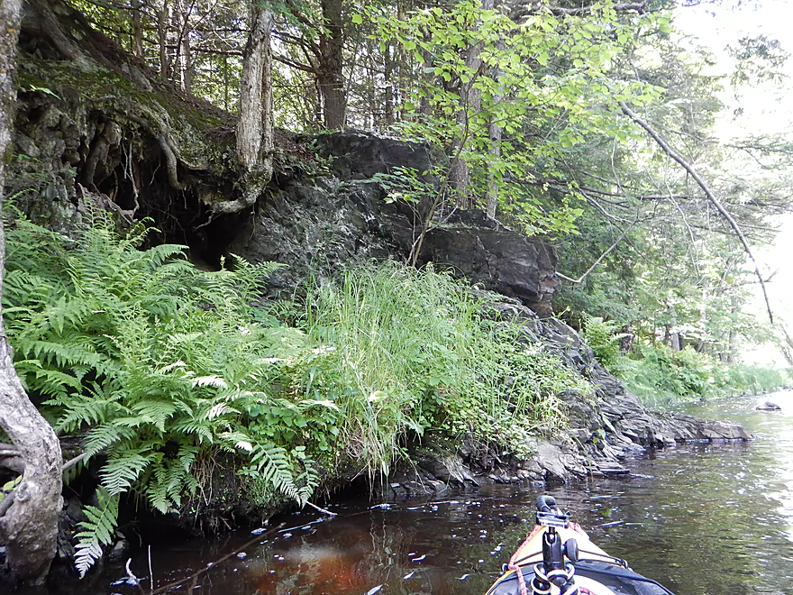
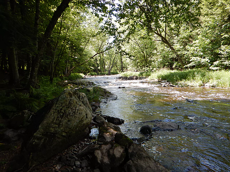
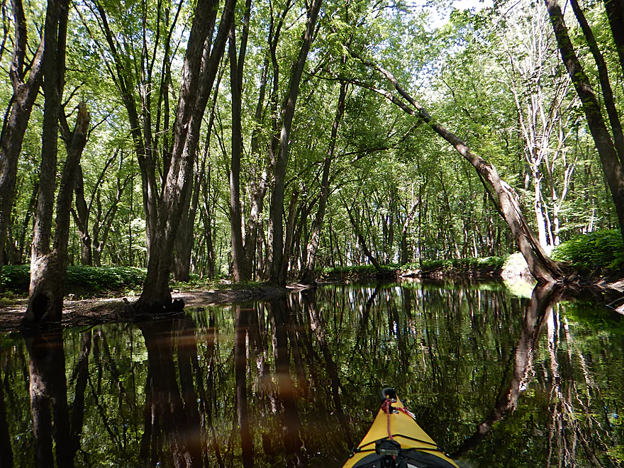
One of several nice rocky, shady areas
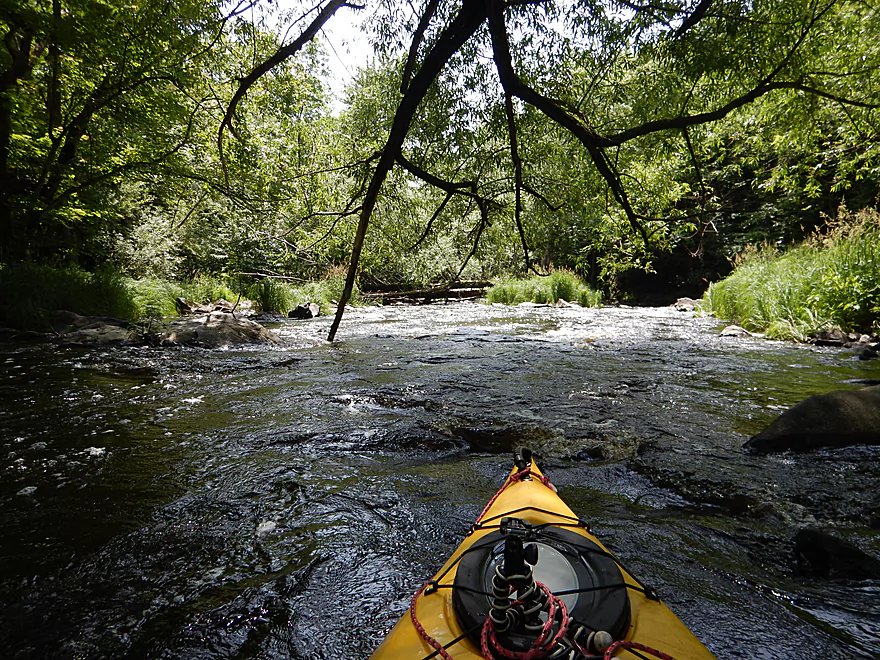
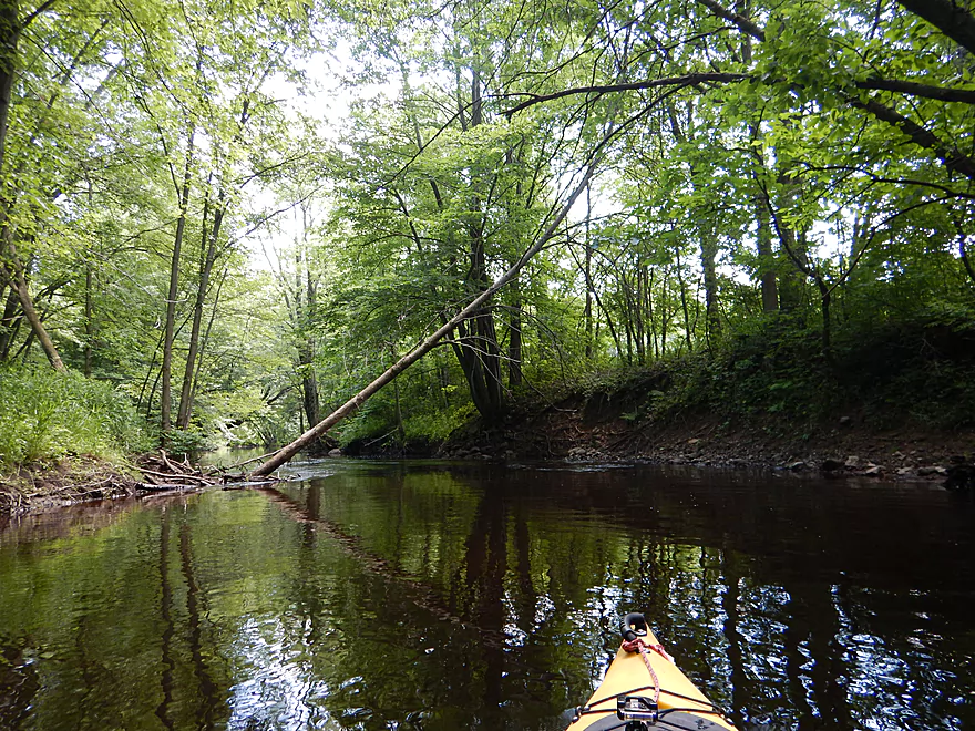
Coming up on a strainer
You can dodge it on the inside bend
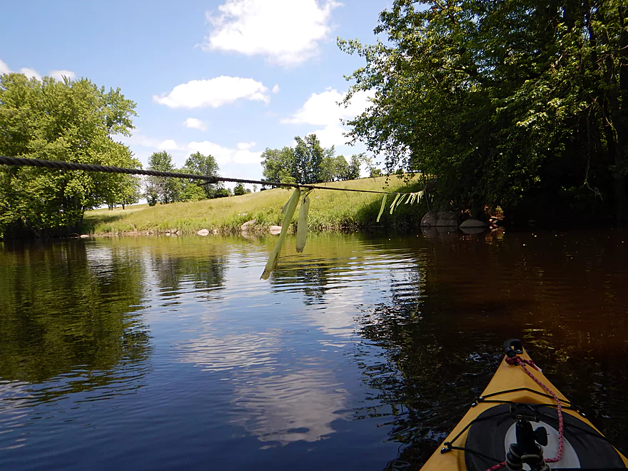
Nasty fence over rapids
Two bottom strands are not electric (top appears to be live)
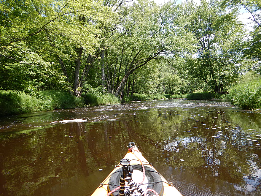
River starts to slow down at the half-way point
The water quality mysteriously deteriorates a bit too
A 2nd fence (easy to duck under)
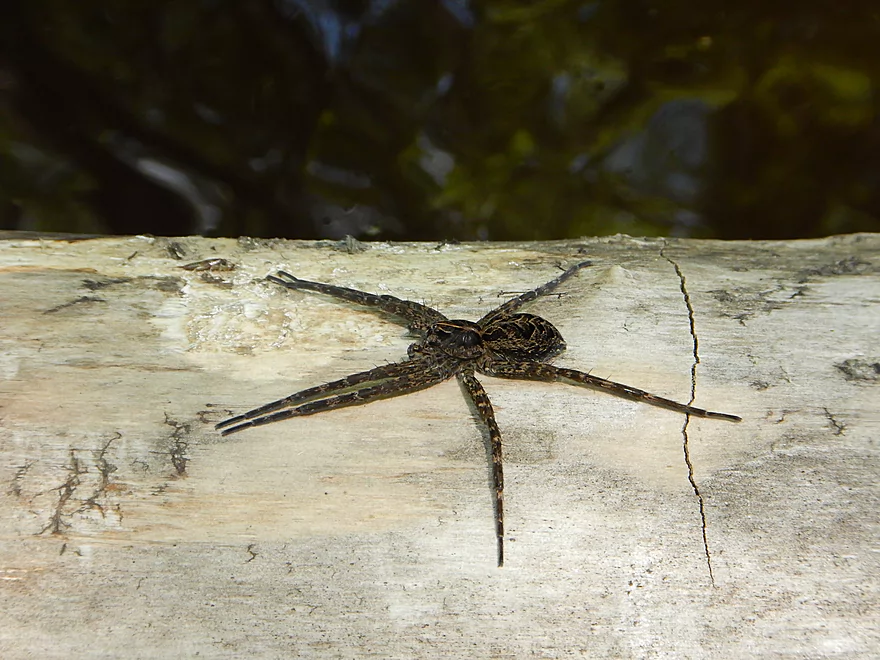
A fishing spider (they eat little fish)
Banks are starting to get larger
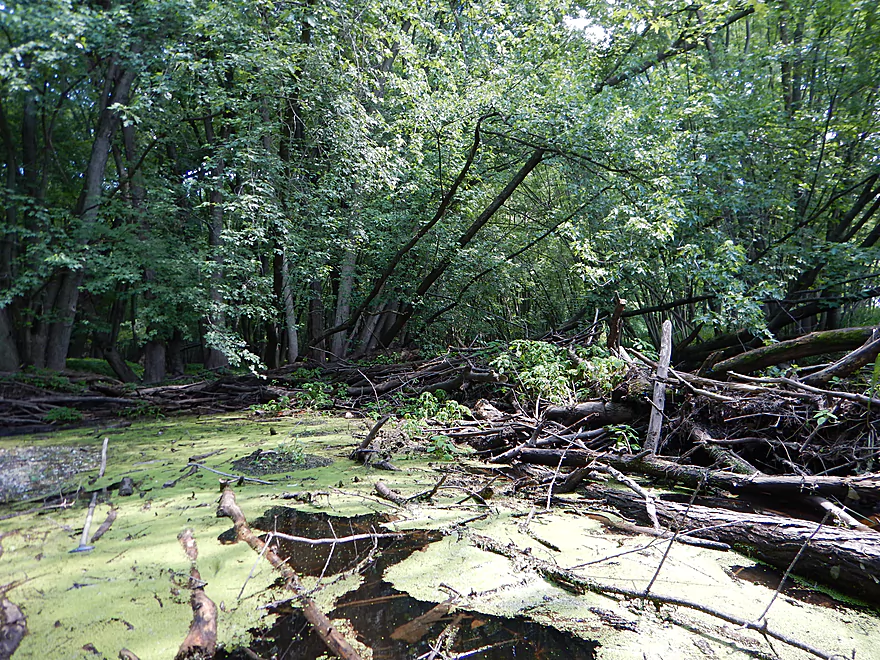
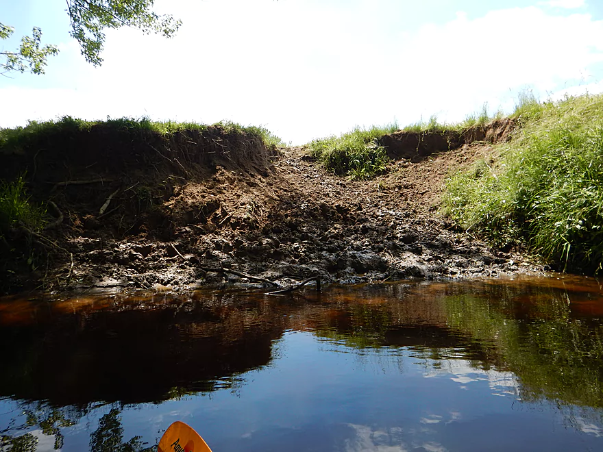
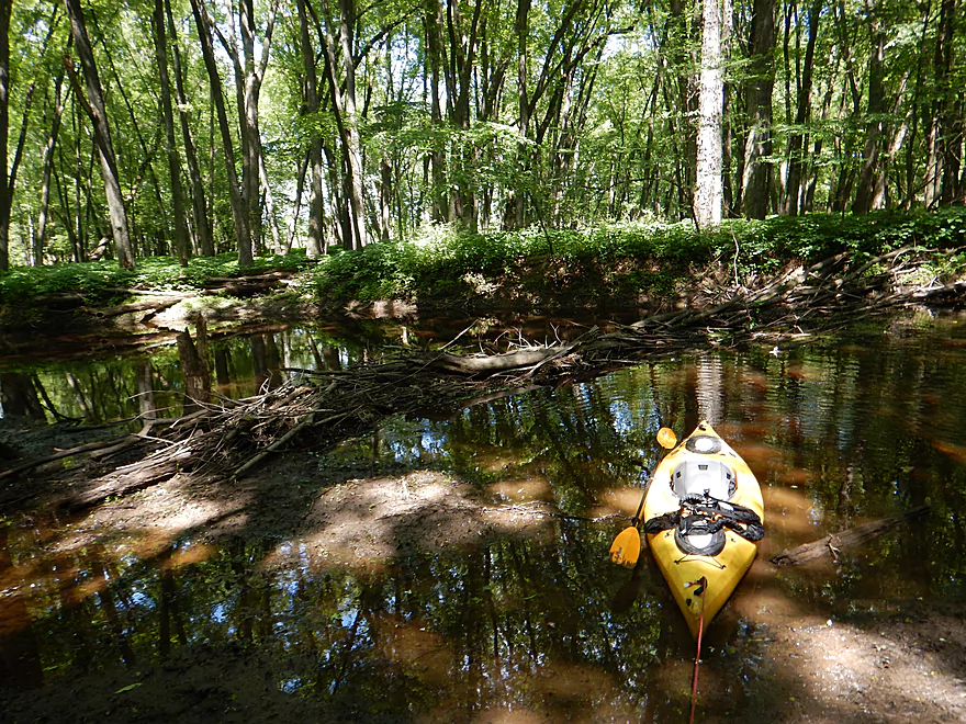
Log jam portage #1 (easy)
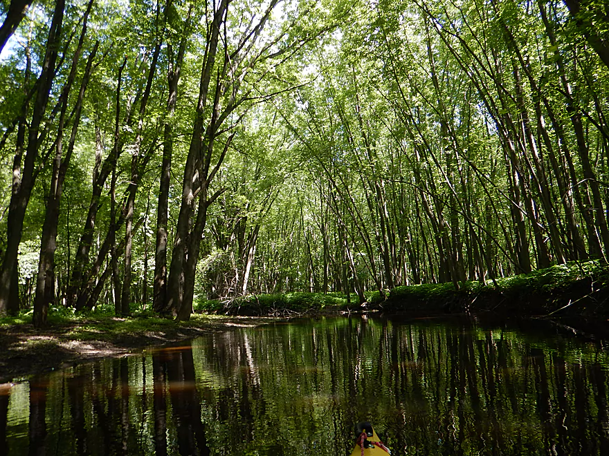
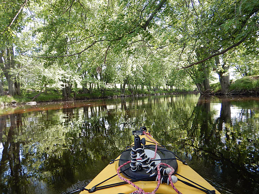
This is a nice wooded section
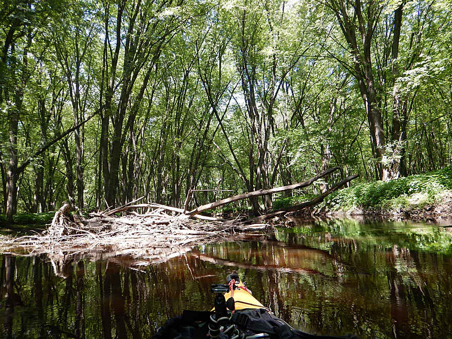
Deadfall starts to become an issue
Log jam portage #2 (easy)
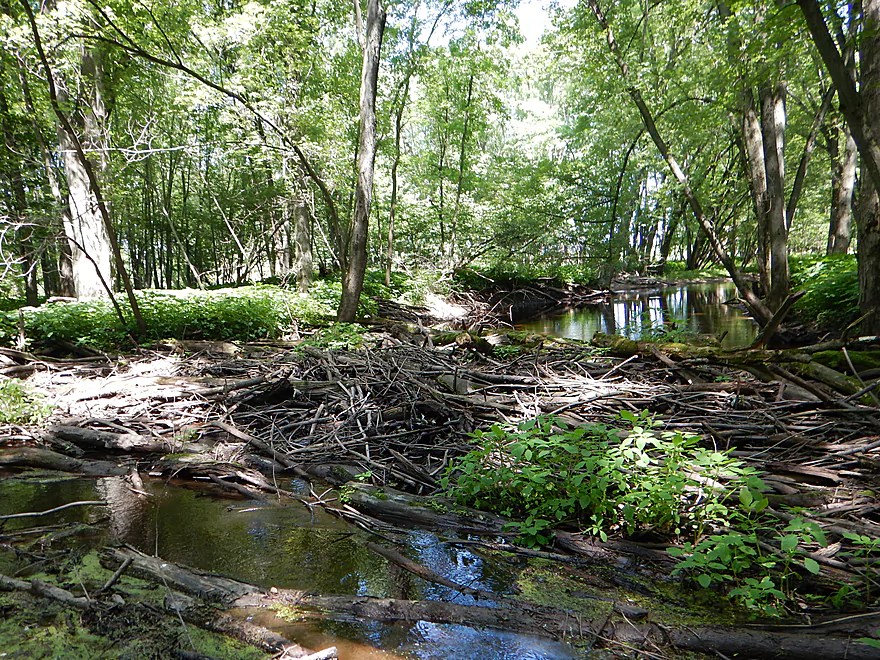
Log jam portage #3 (not easy)
Cool cathedral of trees
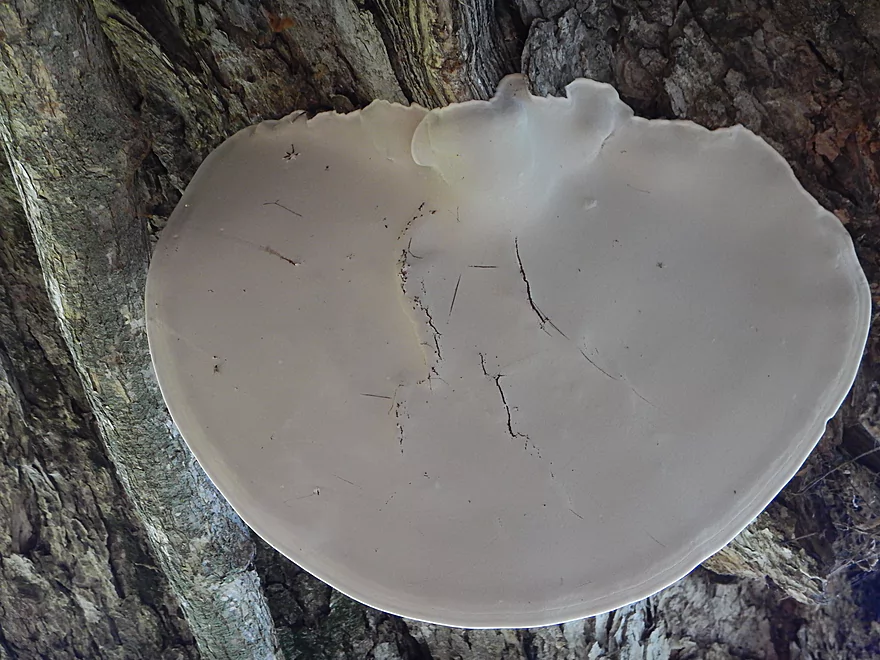
Flying saucer fungus
Mann Street
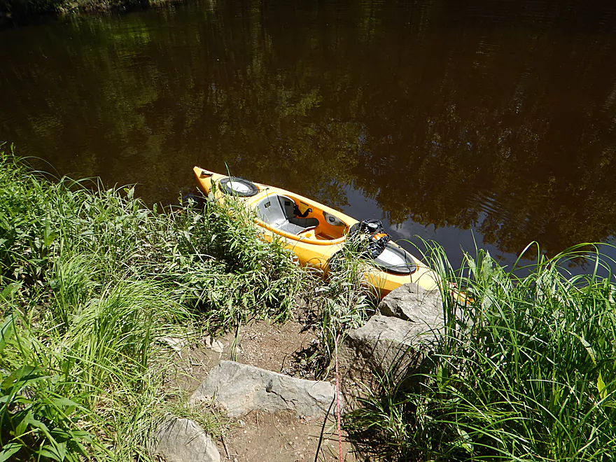
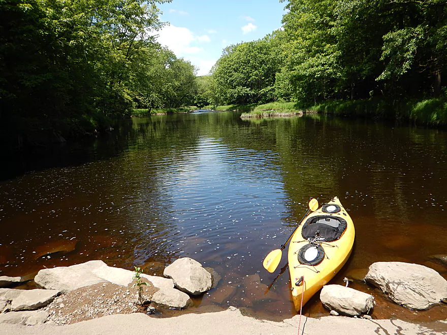
Great take-out
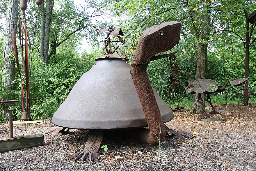
Make sure to check out nearby Jurustic Park
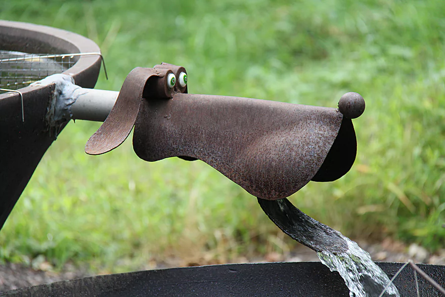
It is unique…
Little Eau Pleine River

The Little Eau Pleine River is a central Wisconsin prospect just north of Marshfield that starts as a marsh and ends in floodplain forest near the Wisconsin River. The name Eau Pleine comes from a French Canadian term that meant “full of water” and referred to the maple trees along the river and not to the river. While the ends of the river are not top paddling prospects, the middle section is very different and consists of fun rapids running through a narrow, twisty channel flanked by thick woods and attractive boulder gardens.
The main consideration for this trip is that it is indeed a whitewater paddle that should not be attempted by inexperienced paddlers. Most rapids reside in the first two miles of the trip which falls at an impressive 30′ per mile and has multiple class 2 rapids and even one class 3. But if you can do whitewater, it is worth it, as the river is very scenic with magnificent boulder gardens, massive boulders and even some dells.
It was an interesting contrast having just last week paddled the Yellow River (the Little Eau Pleine’s immediate neighbor to the south), but in every way the Little Eau Pleine was better. Cleaner water, nicer shoreline, bigger rocks, more boulder gardens and MUCH funner rapids. In fact, these were probably the funnest rapids I’ve ever done, perhaps because the tight, narrow turns running under the tree canopies give this river a sense of mystery and adventure.
My only qualm with this river is that the depth is fickle, with some parts being very shallow while others are very deep, fast and pushy. More on this later. In contrast my favorite part was the “Dells” which is where the river is constricted by massive boulders and falls over a series of ledges (one of which is class 3). Very fun and the most scenic part, but you do want to scout this and be willing to portage if need be.
Beginning in the second half of the trip, you’ll start to lose most rapids and boulder gardens as the river slows down and bottoms out. This is a pleasant woodland paddle, but the source of multiple obstructions including three major log jams, a low bridge and two fences (all detailed in the hazard section below).
South of the Hwy 97 bridge there is a small mowed path that leads to the water which makes for a very good access. Note…while other kayakers use this spot and there are no signs restricting access, this could be private. If you are worried about this, you could park roughly in the same spot, but launch closer to the Hwy 97 bridge on the downstream side (which has a much rougher and longer path to the water).
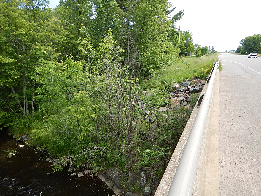
Very good take-out off Mann Street/River Road. About 100′ downstream from the bridge there is a small, hidey path on your left (north shore) that leads to a convenient pull-off.
The bike shuttle is 3.25 miles, which is relatively short but somewhat hilly. The big problem is that all of Mann Street is gravel (the big loose kind). So that 1.69 mile stretch wasn’t fun (but really a short distance, so walking your bike is a feasible option).
Many.
There is a low bridge that you will have to portage (easy to do on the left/north side). But the current is fast here and during high water, the bridge will act as a low-head dam, so be careful.
There are also two fences to contend with, both located by the farm and marked on the map. The first of which is DIRECTLY over class 1 rapids and is electric (ugh). At low depths this isn’t too difficult though as the bottom two strands of the fence are not electrified (only the top one is) and you can lift this up to duck under while you scoot through the rapids. I could see how in higher water this could be much more of an issue though.
There were three log jams that needed to be portaged. The first two were a tad muddy but easy. The third was a pain because of stinging nettles.
The upper section is mostly clear of down trees, but there are a few strainers (in rapids to boot). I got through ok, but if you are not attentive, you can get in into a bit of trouble.
Lastly, there are again many rapids with one class 3. More on this below.
The gauge at the Big Eau Pleine River probably correlates pretty well to the Little Eau Pleine. I ran the river at 65-80 CFS which was very bumpy and most would consider it too shallow, but I didn’t mind. 300 CFS is probably what most hardcore whitewater paddlers consider an acceptable minimum for paddling this stretch. Rec paddlers like myself might aim for 80-140 CFS.
If you hate hitting rocks and are a good whitewater paddler, choose a higher flow rate. If you like scenic boulder gardens and dislike pushy rapids and unforgiving undercurrents, choose a low flow rate.
At my flow rate, I did hit my share of rocks and I suspect most would consider 65-80 CFS to be too shallow, but I didn’t mind. However at times my short boat (10.5′) was too long for many of the tight turns I needed to make. In shallow rapids this was ok, as I would just use my hands to push my kayak over the rocks. But for the deeper ledges this was trickier, as a rock will frequently greet you at the bottom of a drop that requires a sudden turn to avoid it (not always easy and it would be easy to flip your boat sideways).
The biggest hazard will be the “Dells,” which is a class 3 section you should scout before running. Here the channel narrows and falls over a series of drops with the middle one being the steepest. Because of the preceding class 2 rapids, this can be tough to avoid in time. From previous map research, I errantly thought I had already run the class 3 Dells, so the main ledges came to me as a total surprise. They were extra unwelcome as I was overdue for a bailout from the water I gained from the previous rapids. Once I hit the “big ledge,” I went over ok, but hit a rock at the bottom which required a sudden turn to keep upright (not easy with a sluggish boat). Thankfully, there was a nice eddy after the big ledge which allowed me to drain my kayak before I ran the remaining ledges, bouncing around like a pinball. All in the video starting at 3:29.
AmericanWhitewater.org also reviews this section and provides some helpful depth information including a picture of the Dells at 800-1500 CFS, which you can contrast with my featured photo at 65-80 CFS.
An eagle, great blue heron, many crayfish, some dragonflies, and a raccoon nonchalantly cleaning his whiskers in the water.
Jurustic Park & Hobbit House is worth checking out. It is a world renowned metal sculpture garden that features all sorts of creative creations (mostly animals and dragons) and is free to view for the public.
- Upstream of Hwy C: The river is a small creek up here and I don’t know enough to speculate as to its navigability.
- Hwy C to Lincoln Ave/Dam: (5.2 miles) Probably a pleasant open paddle through McMillan Marsh.
- Lincoln Ave/Dam to Hwy E: (4.8 miles) Wooded and shallow with likely some logjams.
- Hwy E to Hwy 97/T: (5.3 miles) A good prospect with rapids and reviewed by AmericanWhitewater. Hwy E is not ideal for launching, but NW of the bridge should do. There might be another access west of the bridge off of Turtle Ridge Road. There are two intermediary bridges that would allow you to subdivide your trip. This would be a poor bike shuttle because of the gravel roads.
- Hwy 97/T to Mann Street/River Road: (3.5 miles) A great section with fun whitewater reviewed here. This is the fastest and most scenic stretch.
- Mann Street to Hwy M: (3.8 miles) Mixture of heavy floodplain forest and sloughs. Log jams are very probable. Hwy M should be a good takeout.
- Hwy M to Rangeline Road: (5.6 miles) Heavily wooded section with many back channels. Log jams are very probable.
- Rangeline Road to Smoky Hill Road: (2.3 miles) The river is more open here and heavily channelized. Probably uninteresting.
- Smoky Hill Road to Hwy S: (3.3 miles) Highly channelized and muddy, this is probably uninteresting. Good take-out at Hwy S.
- Hwy S to Hwy O: (5.9 miles) Artificially straightened, this does not look interesting. Good take-out at Hwy O.
- Hwy O to DuBay County Park: (4.45 miles) A lot of open flowage paddling. Hwy 34 is an intermediate access option. Trip ends on the Wisconsin River.
Trip Map
Overview Map
Video
Photos Size:
Water Level was just right, almost a touch low as some of the rapids were difficult to get through due to low levels. I wouldn’t want to go any lower than this. We put in on private land on ‘Turtle Ridge Road with permission from land owner. Rocks and Rapids were above us and we put in below this as the water wasn’t high enough to navigate through with our equipment nor expertise. We would have gotten into trouble here.
What a great little stream this is, a true gem and its right in our backyard. We kayaked the Big Eau Plaine just a few hours before and wanted to try this one. We did take out well before the 97 bridge, below this bridge is significantly challenging. We scraped a few times and the river splits due to some log jams and little islands, but it is a fun little 2.5 mile run we did today. Anytime there was some larger pools, we knew to expect some rapids and we were not disappointed. These were all Class One Rapids, expect one could be a Class Two with a bit higher water, about one mile into our trip. One disappointment was the number of trees that were down, but were able to get around almost all of them. When the river narrows, expect the flow to increase and some fun awaits. Can’t wait to do this one again and add the stretch from Stadt to 97, but we will take out before or shortly after the 97 Bridge
Once again, we appreciate the videos and knew that below 97 was treacherous. We wanted to try the section below the steep drop right after the marsh and before 97 and we were not disappointed. I highly recommend you try this short section when the water is higher but beware of trees. The south bank shows a lot of erosion and roots and there could be surprises each and every time one does this section. Thats the downside.
Stars: 4, Put-in Hwy E, Take-out Stadt Road Bridge, Date 07/10/2020, CFS 300+
This is absolutely on my todo list! I was always somewhat concerned about logjams, but it sounds like they were manageable. Good info on 300+ CFS being a good baseline. You might still consider the stretch below Hwy 97 as it is super scenic…although yes it is pretty rough.
Kayaked the little eau Plaine today from McMillan Bridge to Hwy 97 bridge. Nice stretch of water, we got through the various rapids but the levels were a bit low. Looked at the Big Eau Plaine gauge for reference.
Stretch took about 90 minutes, one portage where the river splits (beaver dam).
That’s a good baseline measurement…I’ll have to remember today’s flow rate (400-500 CFS) for my future trip.