
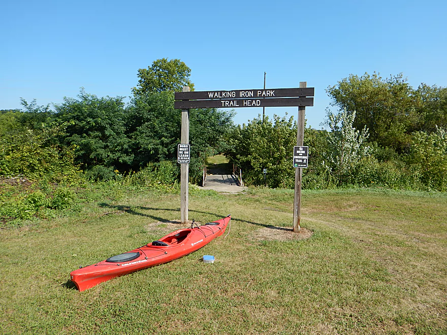
Good public access at Walking Iron Park
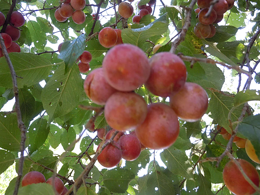
Wild plums growing by the put-in (a little tart yet)
Main put-in is a hidey trail downstream from the bridge
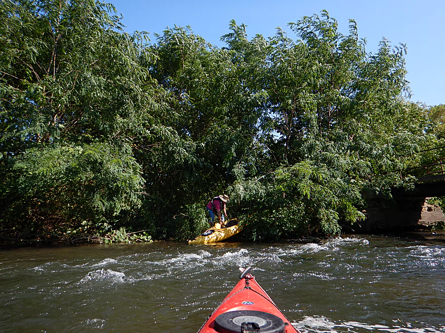
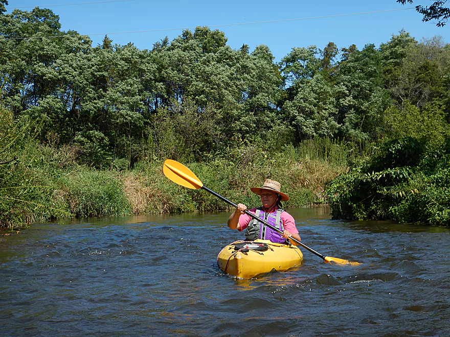
I put in upstream to run the rapids
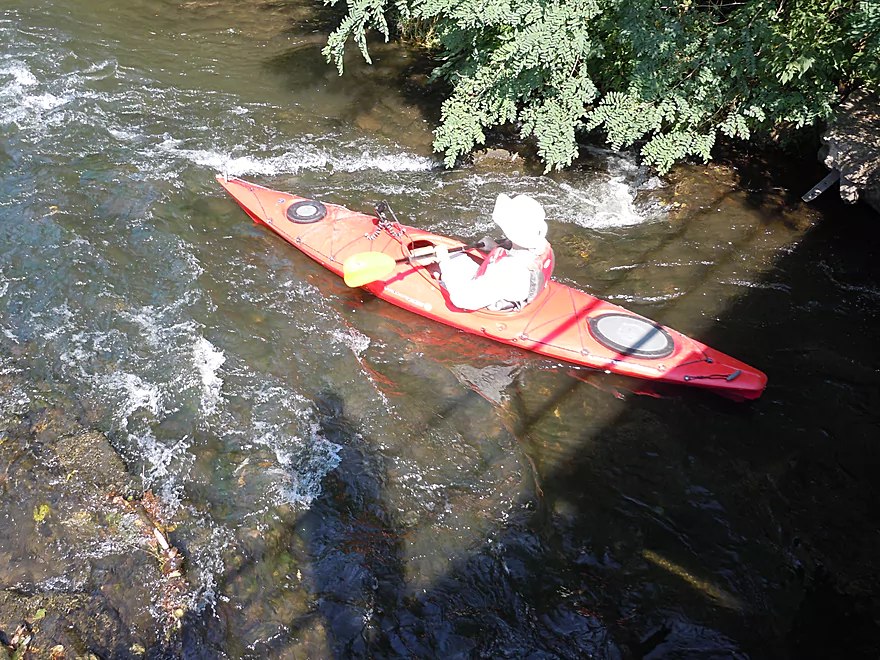
Quite fun
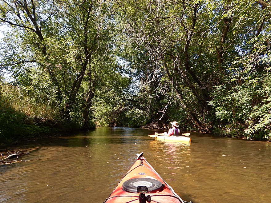
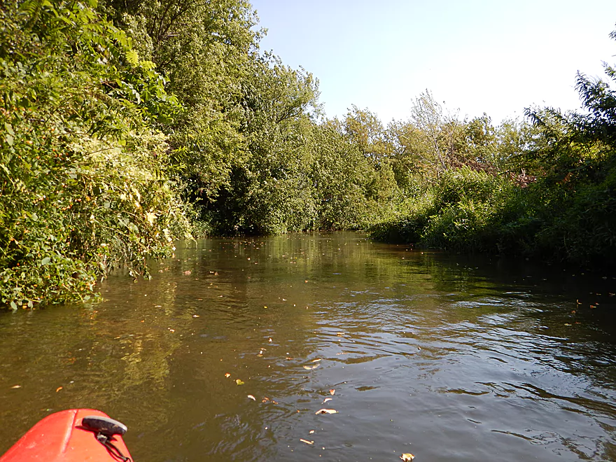
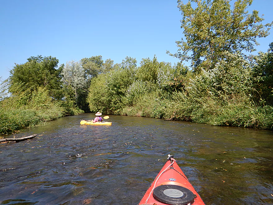
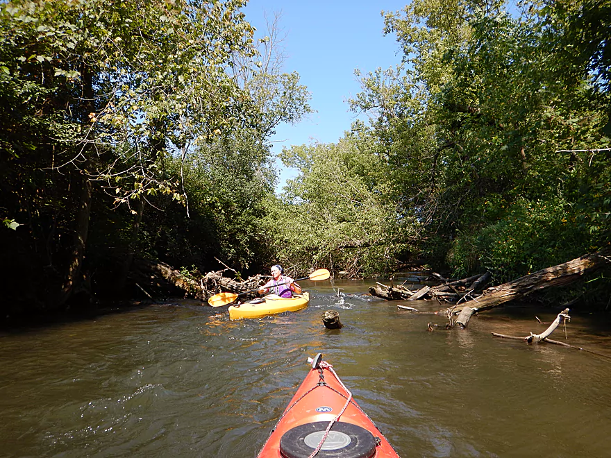
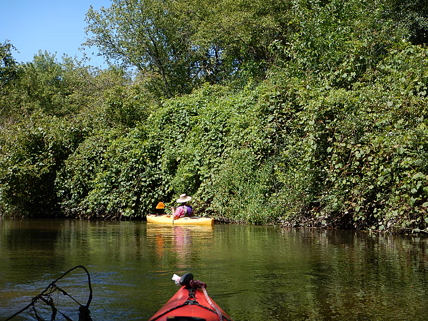
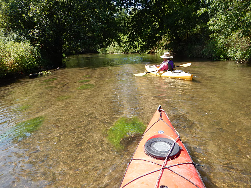
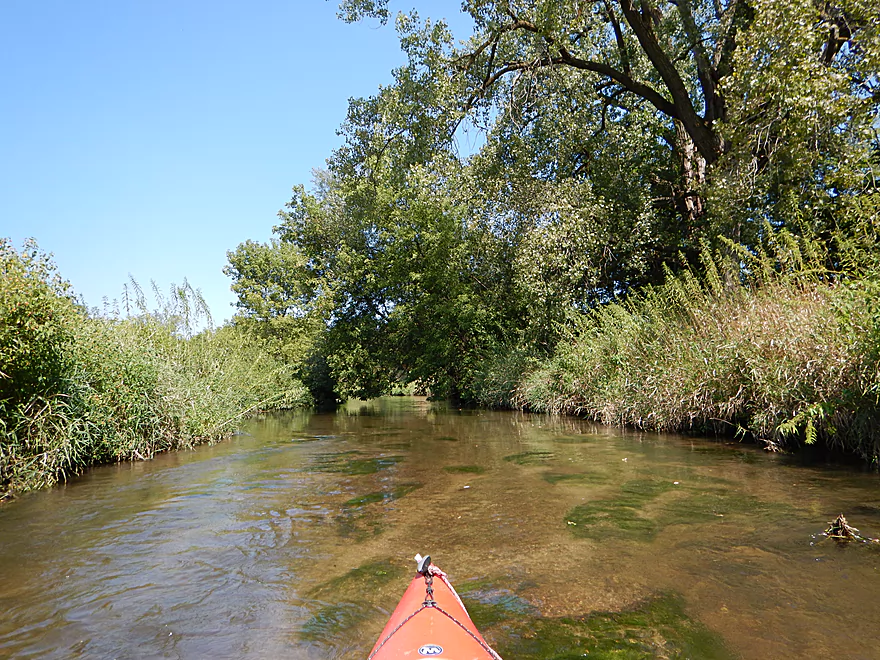
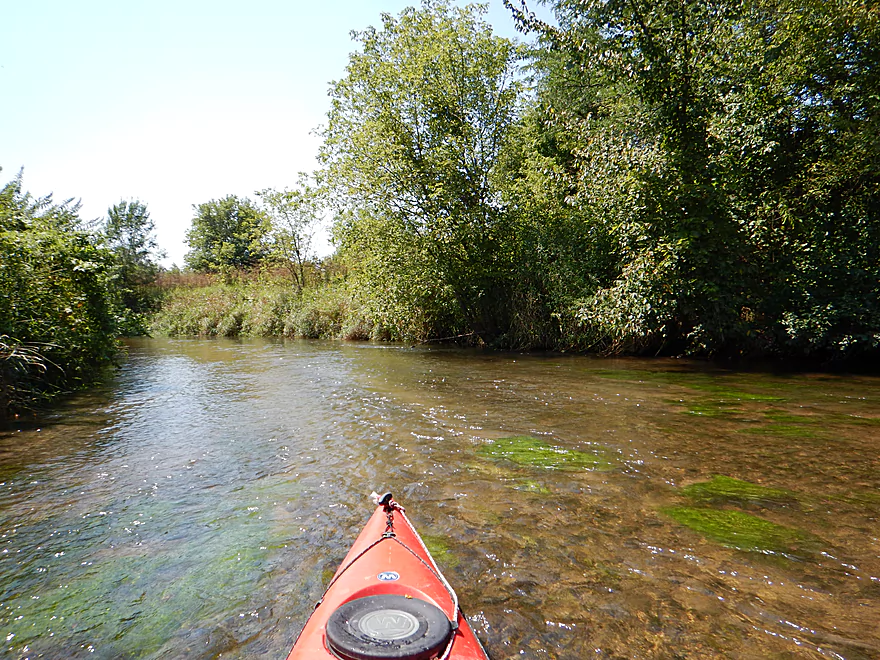
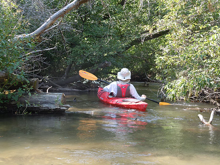
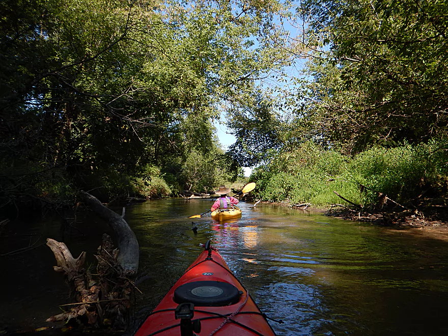
The first couple of miles are wooded and really nice
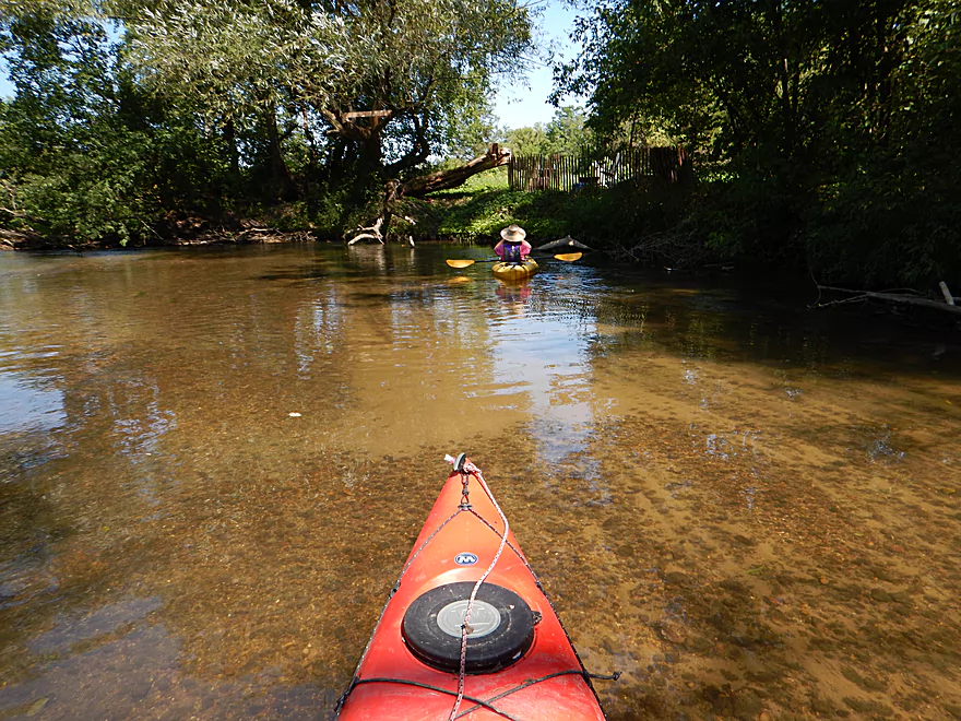
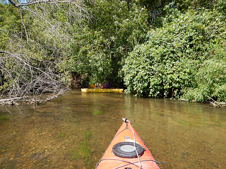
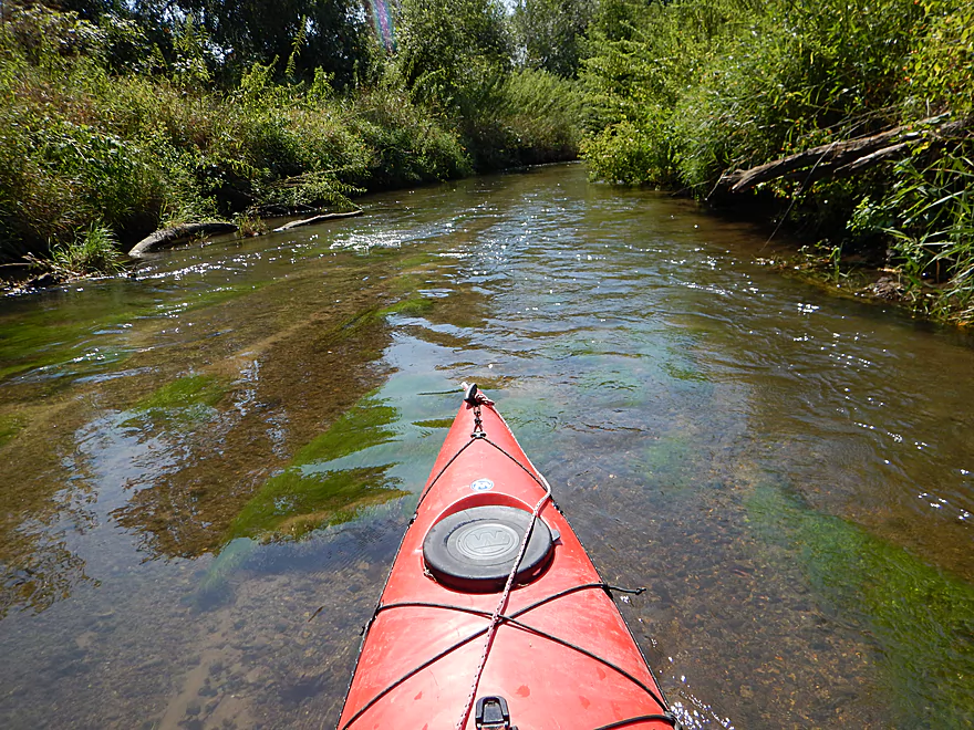
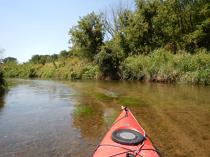
Great water clarity
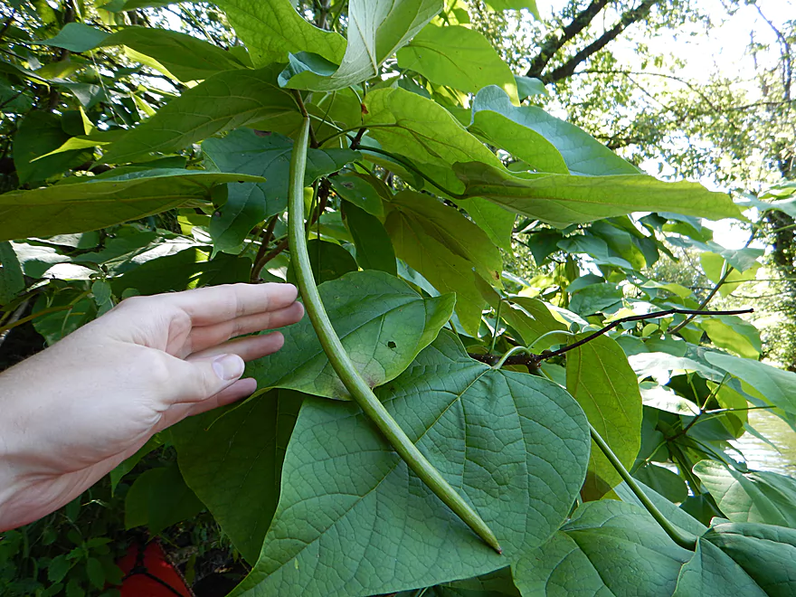
Big leaves = big beans, I guess…
Very early fall leaves (dry season)
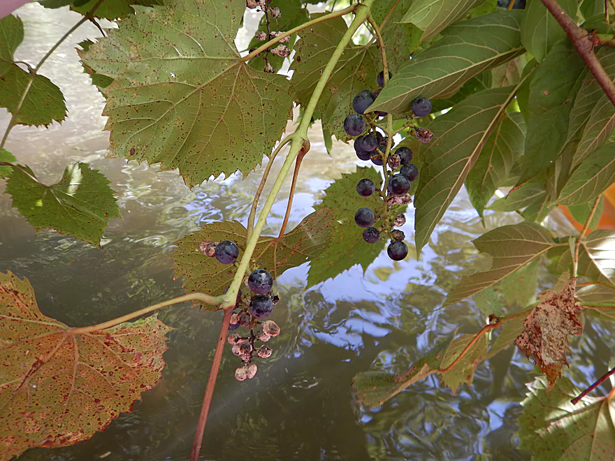
Lot of wild grapes on the creek
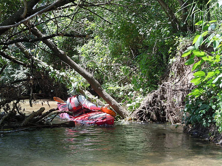
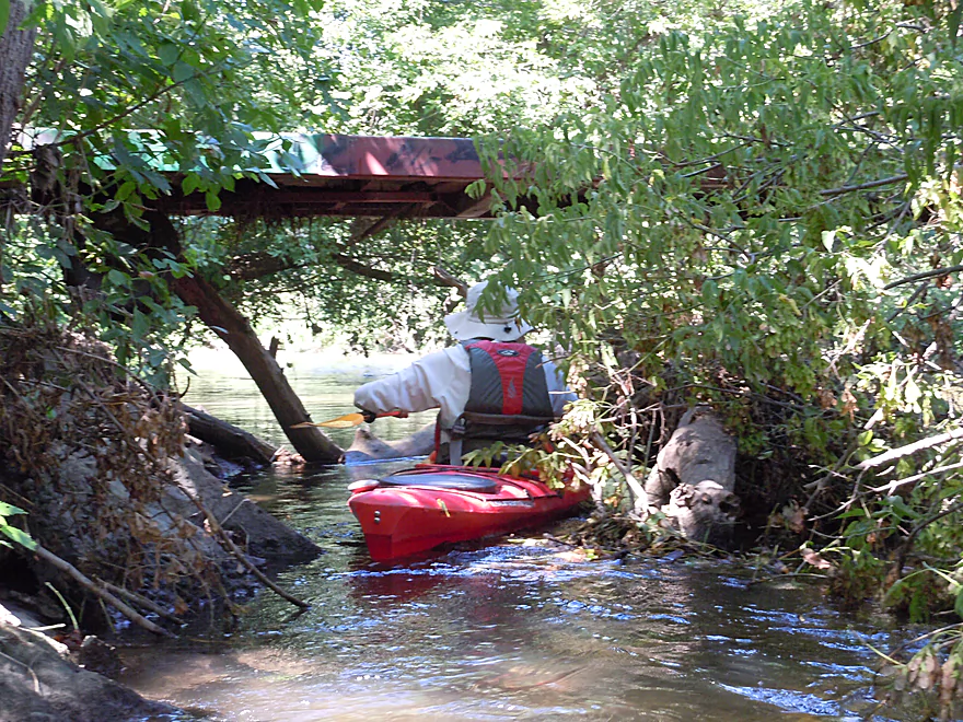
Be careful where you put your head…
Look like rockets blasting into space
Number of little riffles
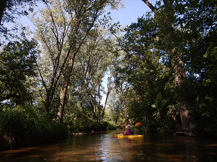
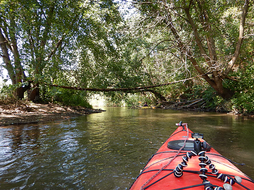
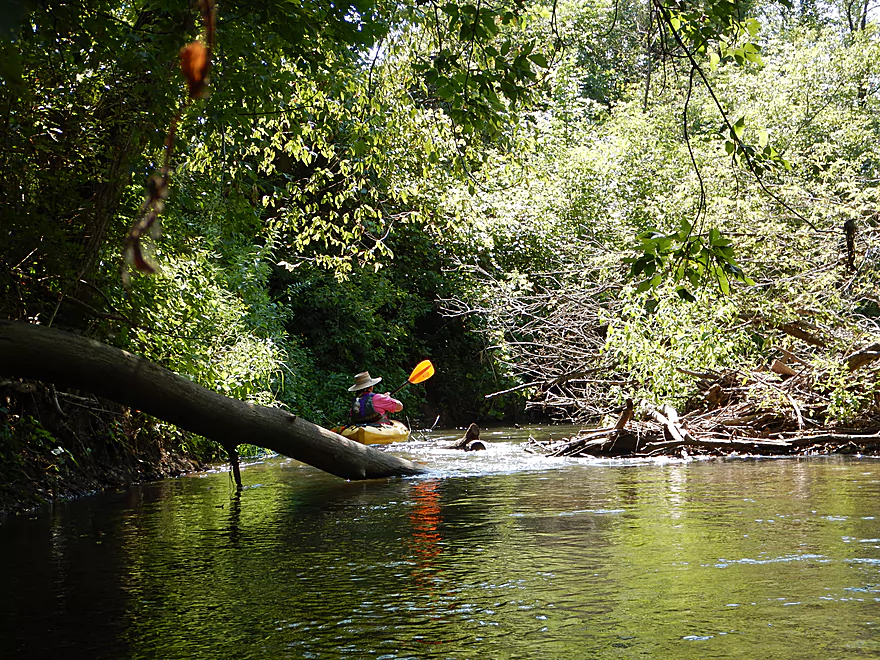
Some nice tree canopies
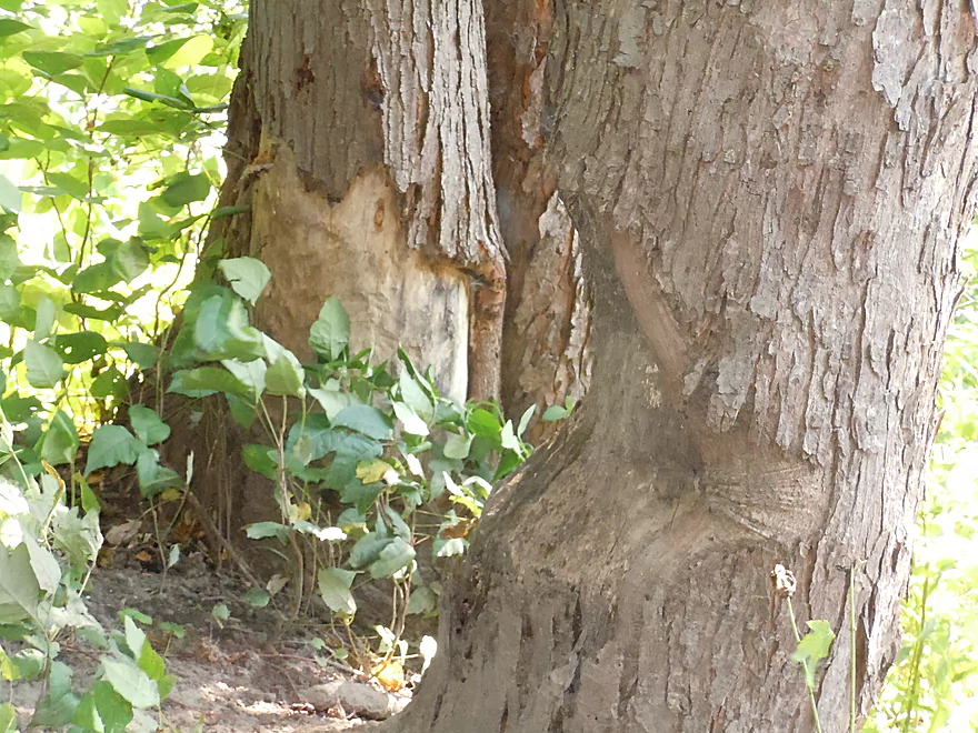
Beaver bit off more than he could chew
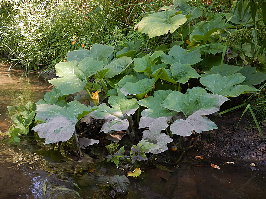
A wild pumpkin with small fruit
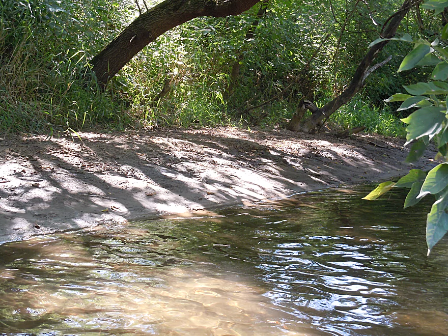
Couple of small sandbars
Another fun little riffle
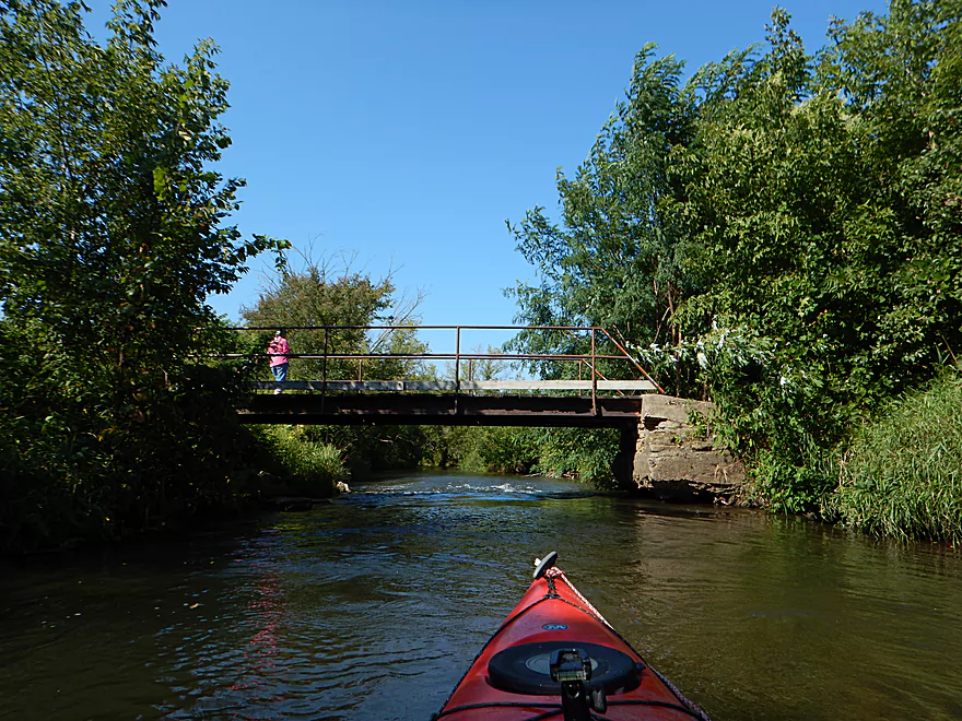
Cool little suspension bridge
One of the nicer riffles
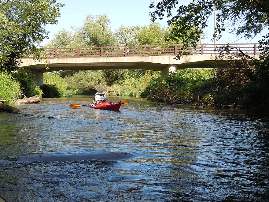
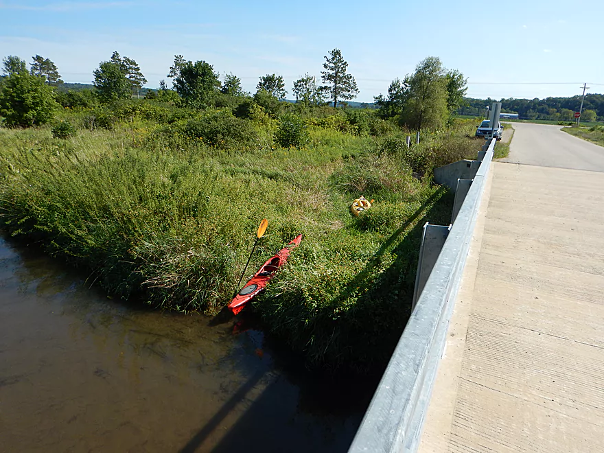
West Hudson bridge is a popular take-out
Bit weedy, but doable
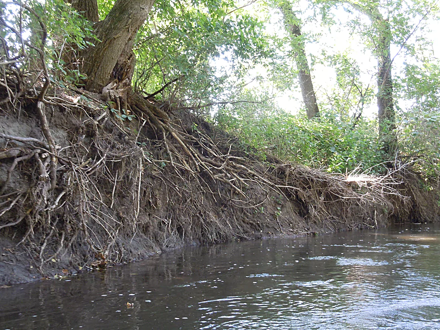
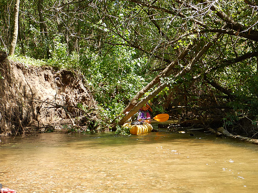
Naked roots
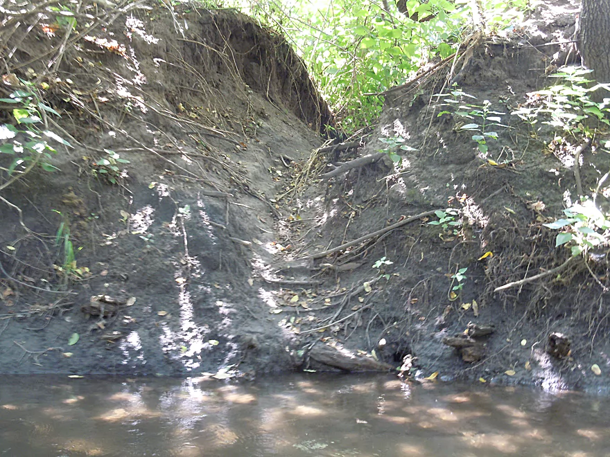
Some animal path that has been magnified by erosion
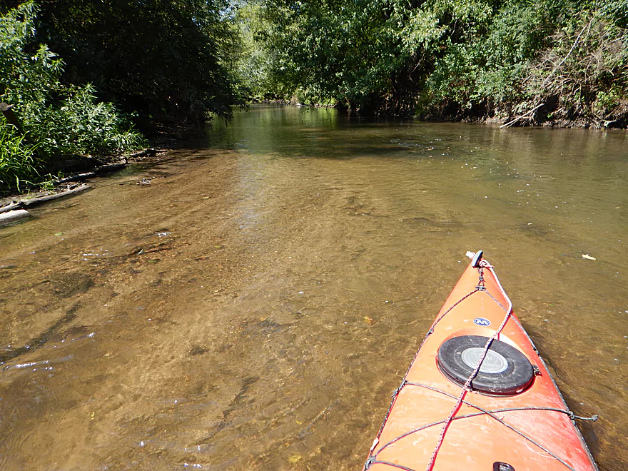
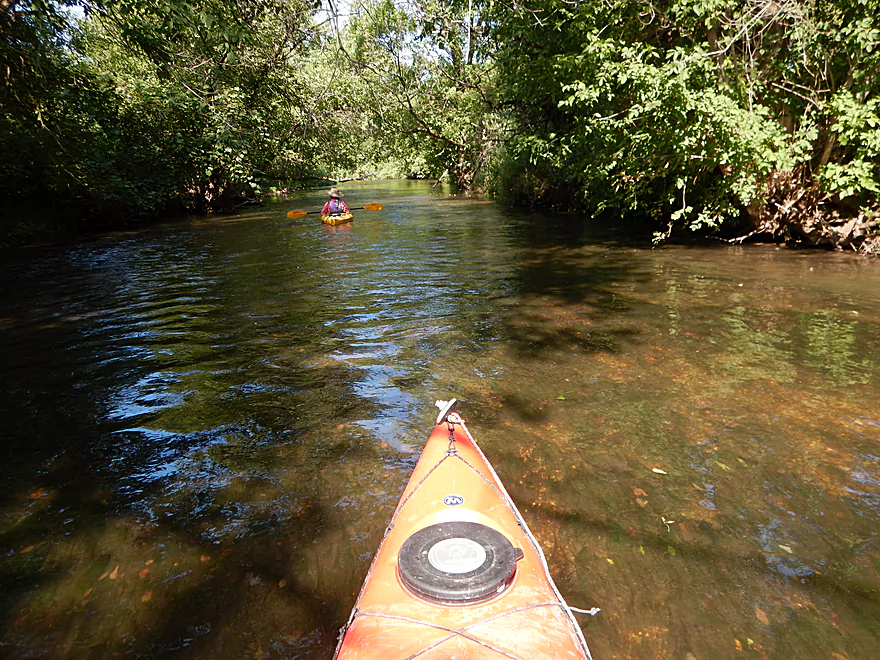
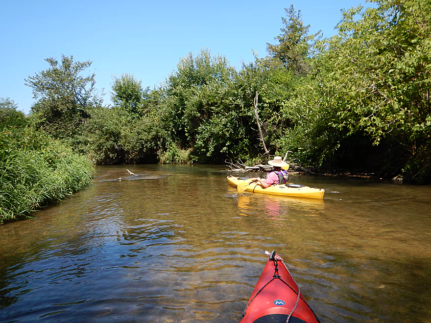
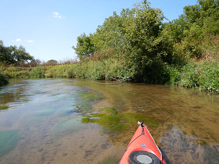
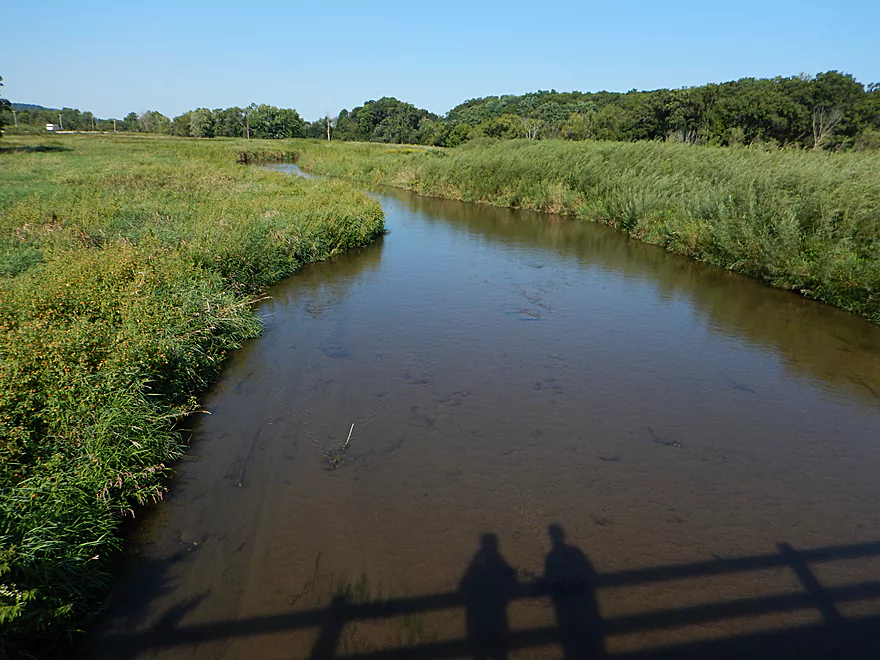
Water clarity was fantastic
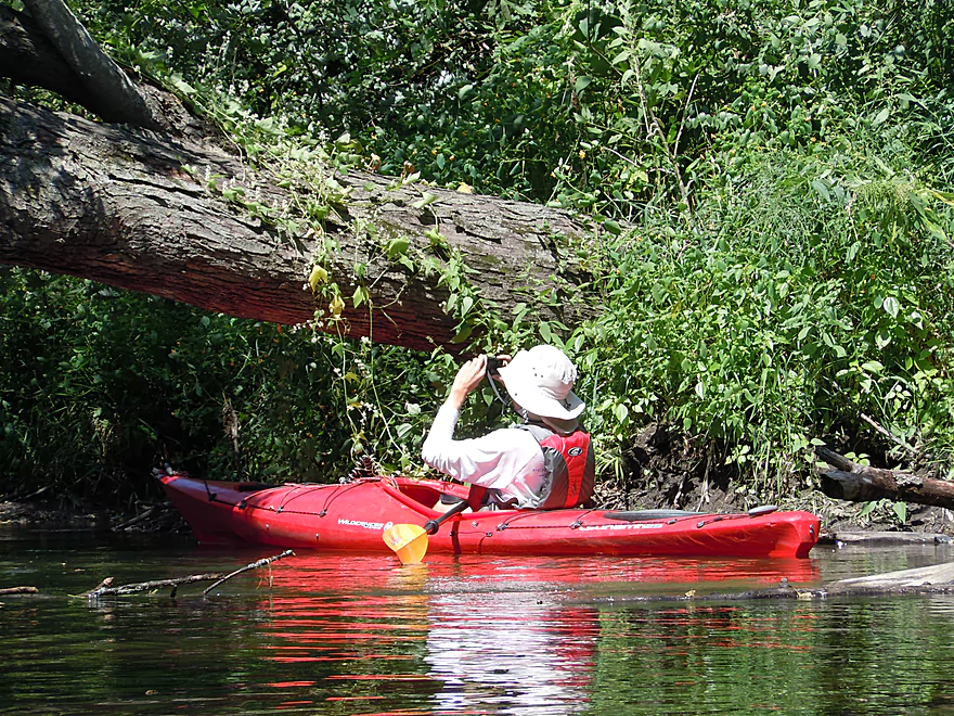
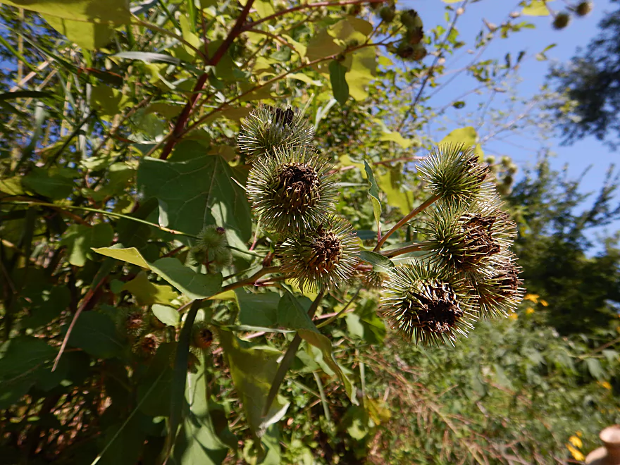
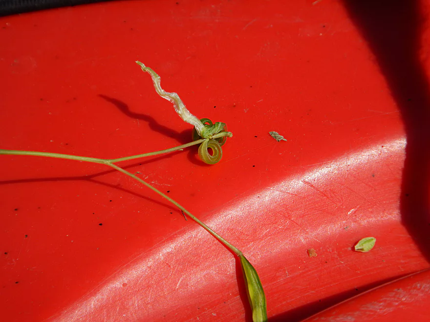
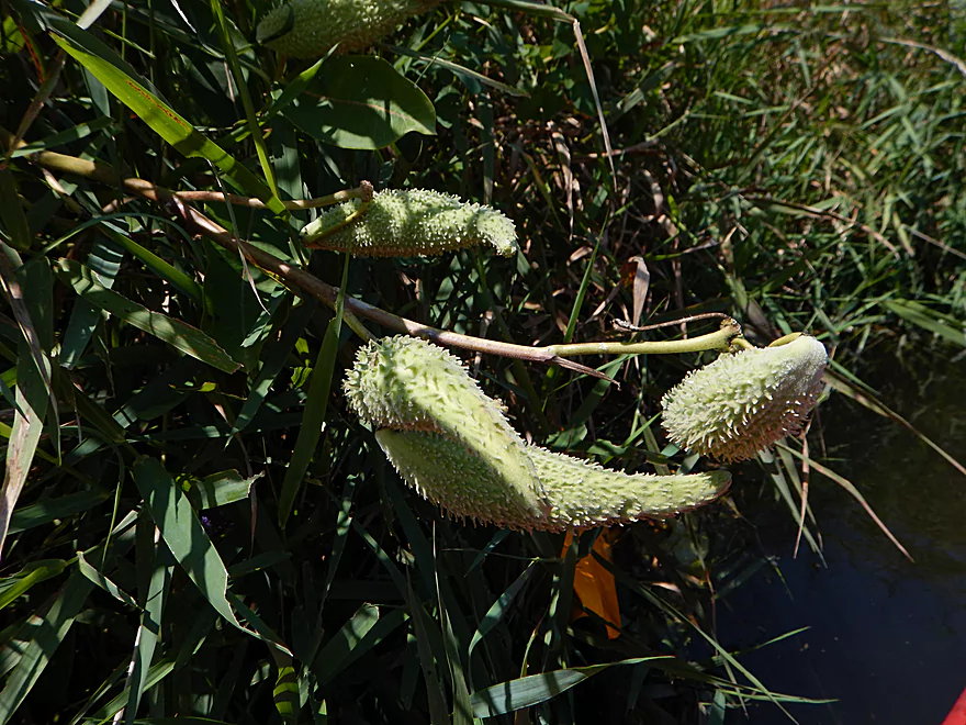
Inspecting wild cucumbers
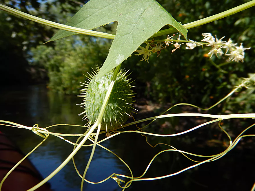
Their fruit looks like naval mines
A riffle created by log debris
Huge wall of grapevines
Easy to hide in
Plenty navigable for kayaks, the creek might be small for canoes
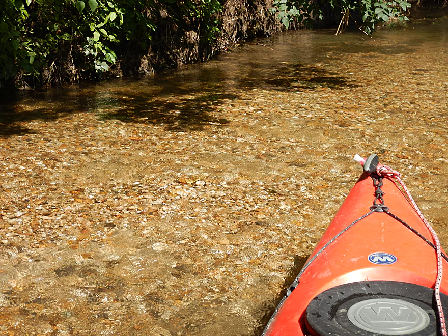
Nice light, clean pebbles
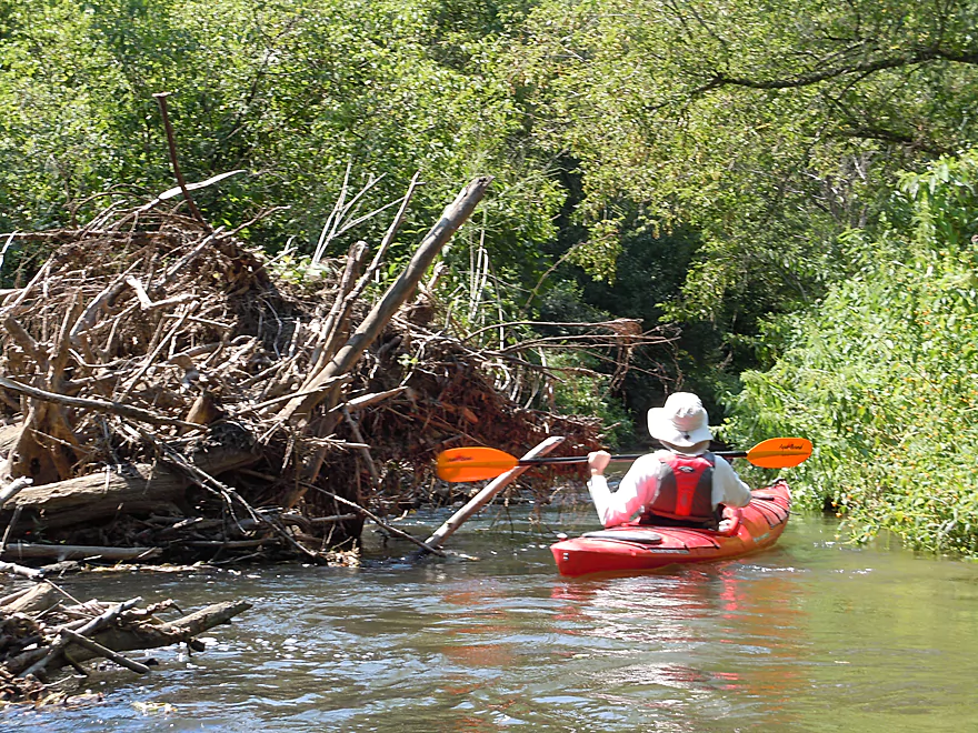
What a mess…but thankfully cleaned out by the locals
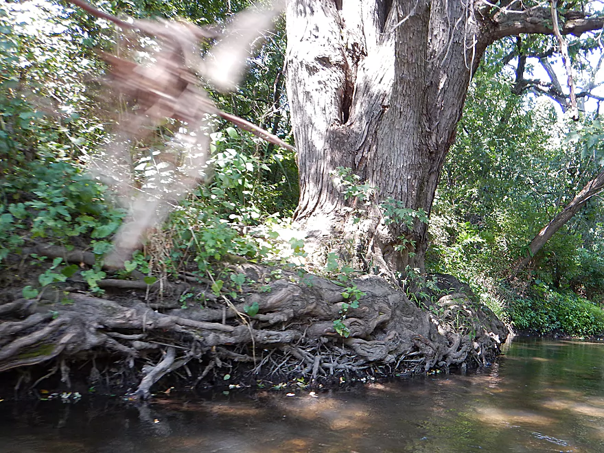
Cool root pattern
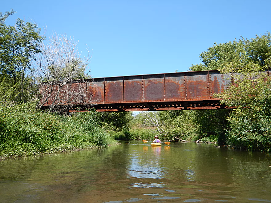
Just missed the train by minutes
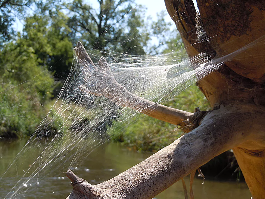
Quite the spider web
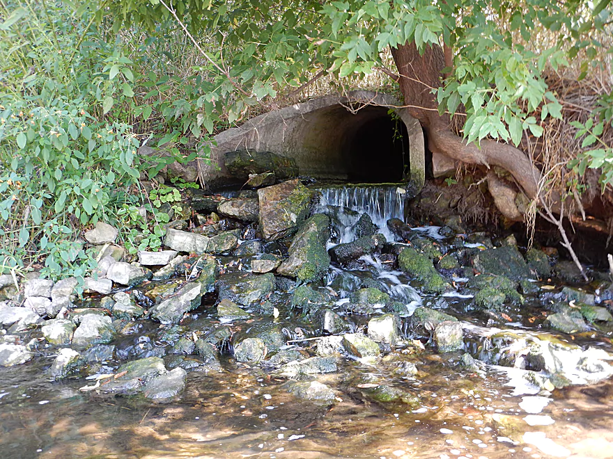
Mystery effluent with mystery odor and mystery algae
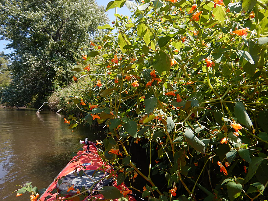
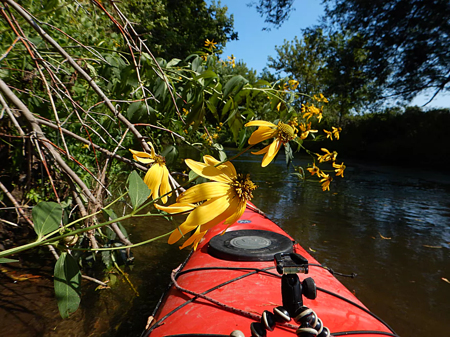
Lot of orange touch-me-nots on the river
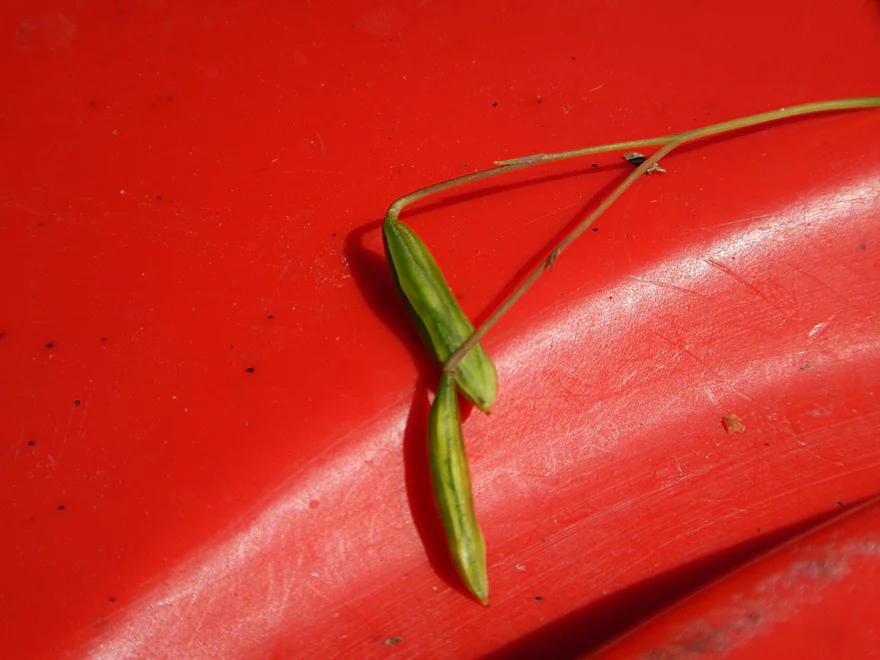
Seedpods before being touched
After being touched the seeds go flying
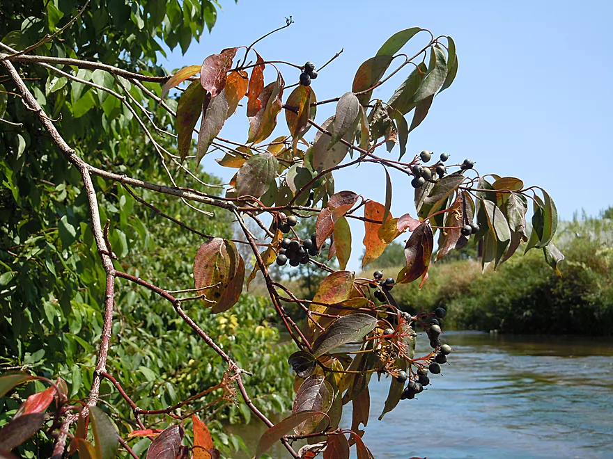
Might be nannyberry
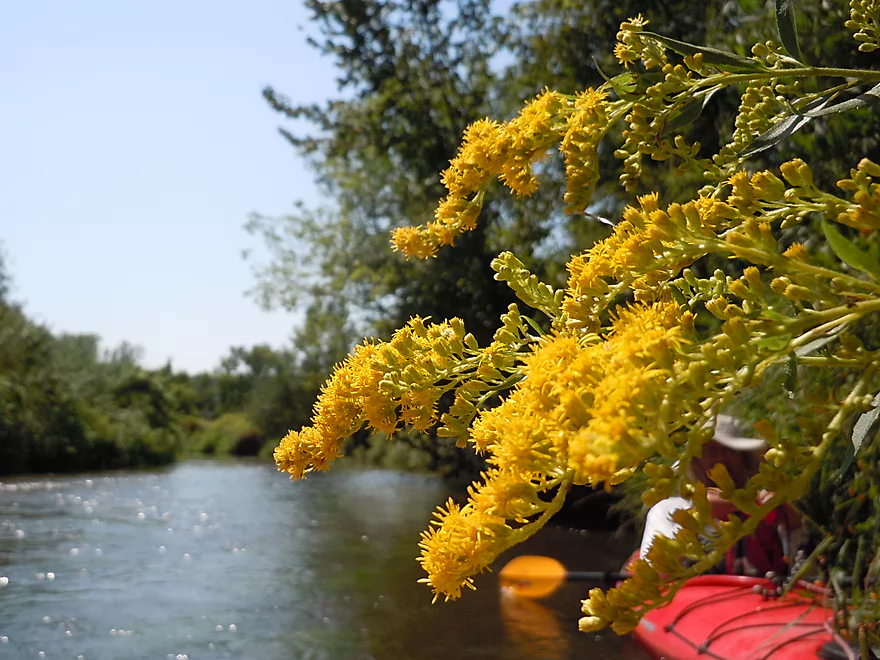
Goldenrod
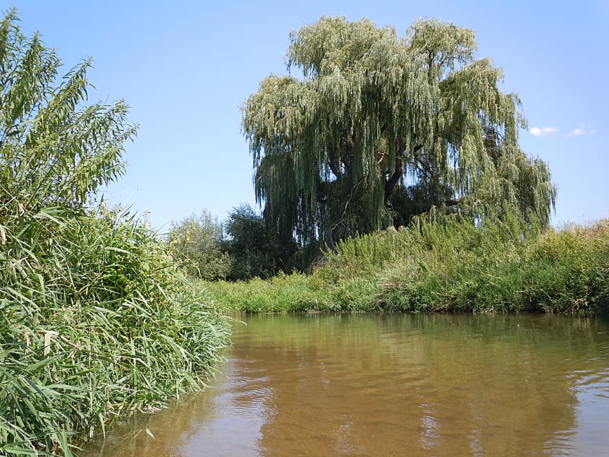
Magnificent weeping willow
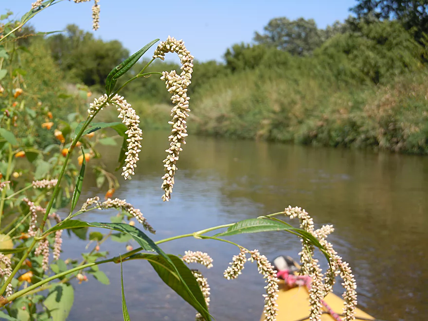
Smartweed
Monarch food (milkweed)
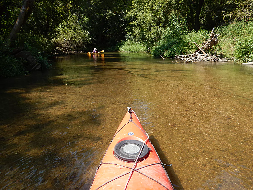
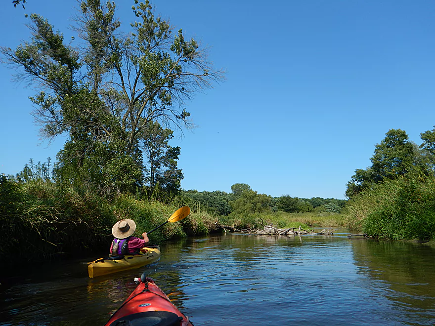
Things are starting to open up
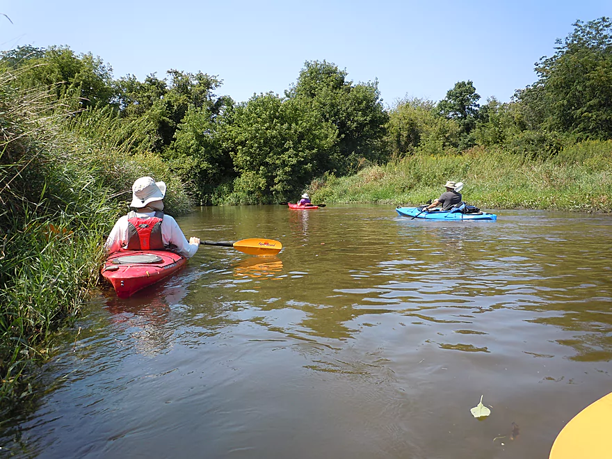
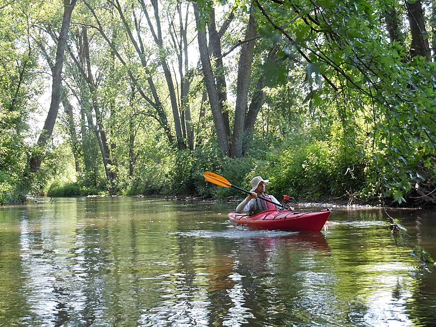
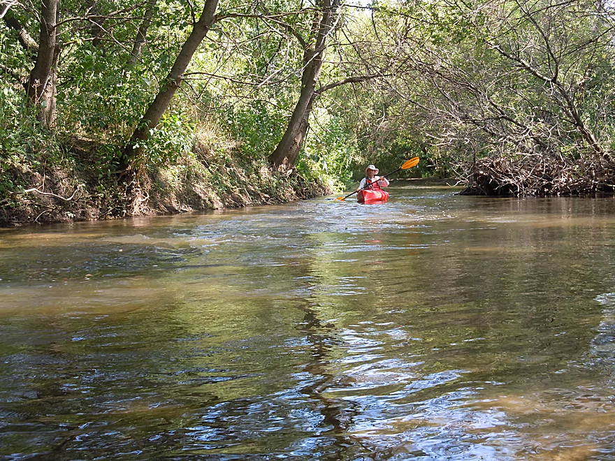
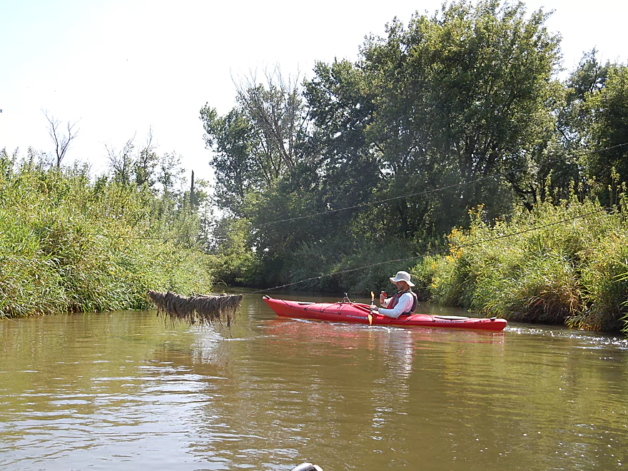
Second group of kayakers that passed us (do not trust my trip times)
Another squeaker (but doable)
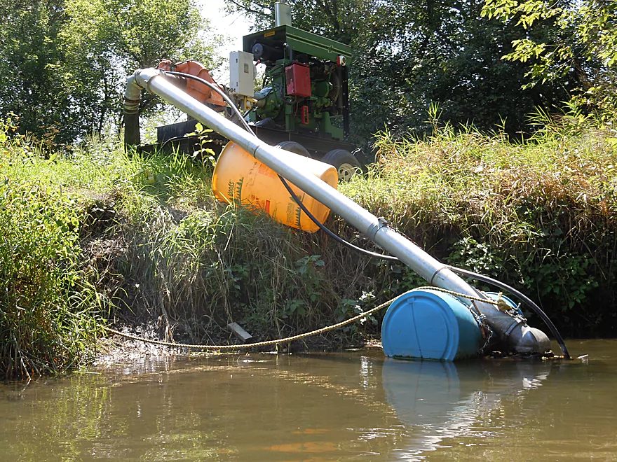
Three farmers had these creek vacuums in the water
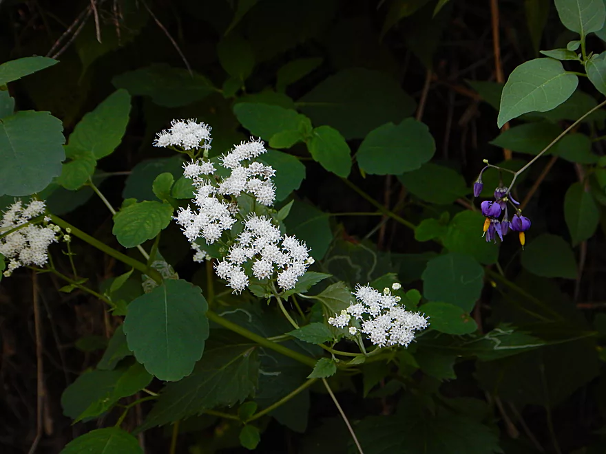
White snakeroot and some blue nightshade flowers
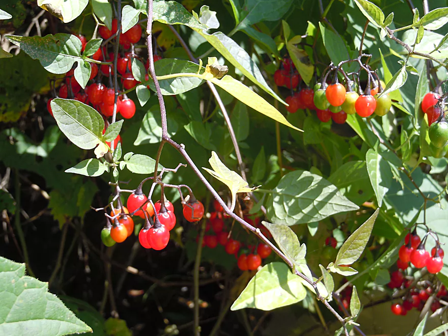
Nightshade berries look like Christmas lights
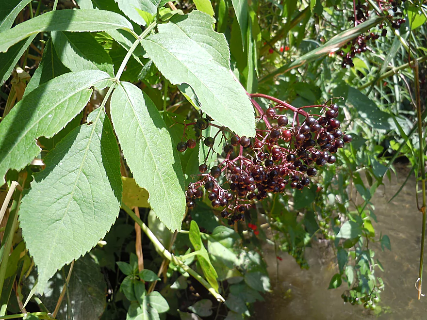
Ripe elderberries
More nice cleanup work
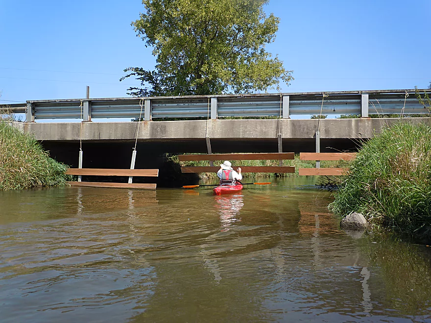
Morrill Road bridge has swing gates for cattle (or people)
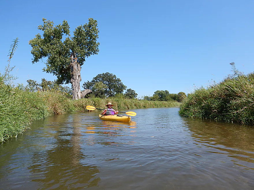
This section of the creek is very open
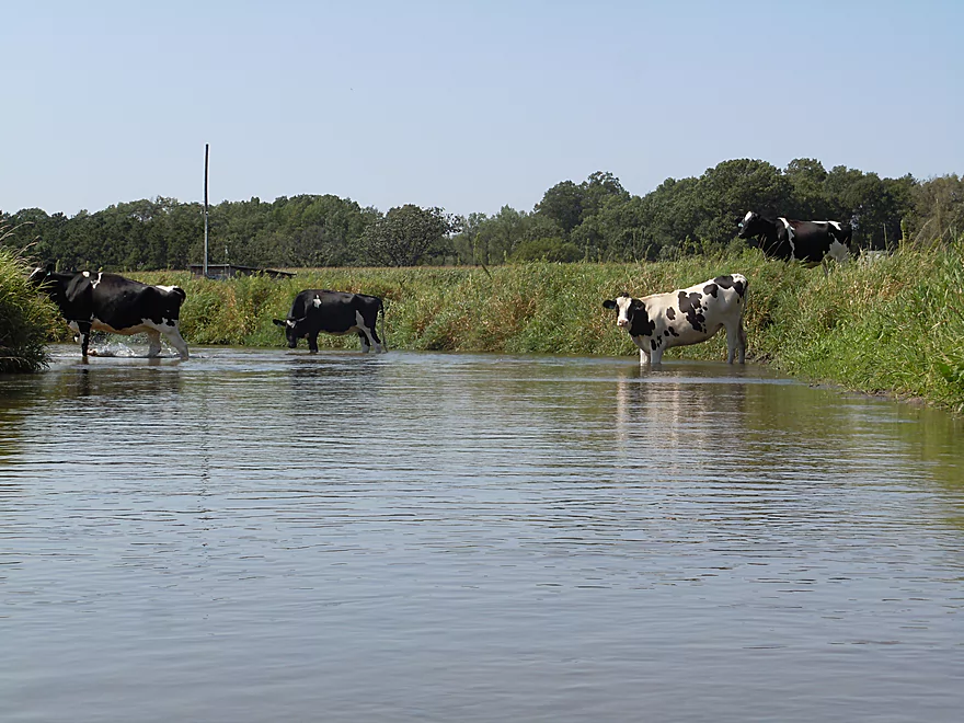
Some startled onlookers
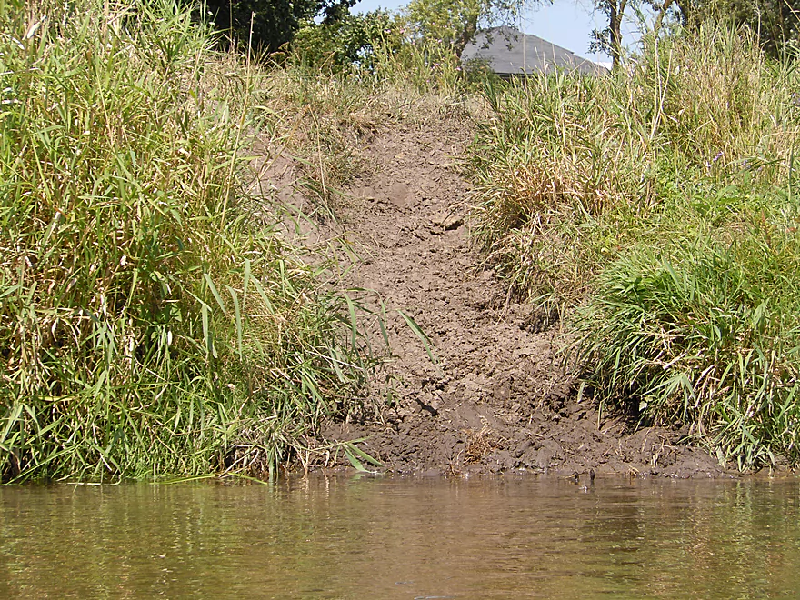
Some cow erosion
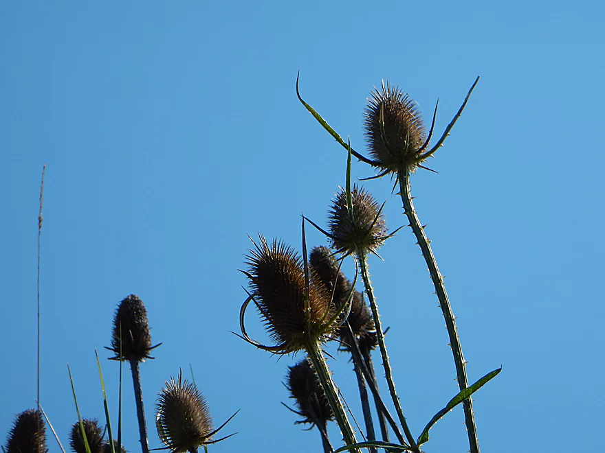
Dry teasel heads–once used for carding wool
This fence was easy to duck under
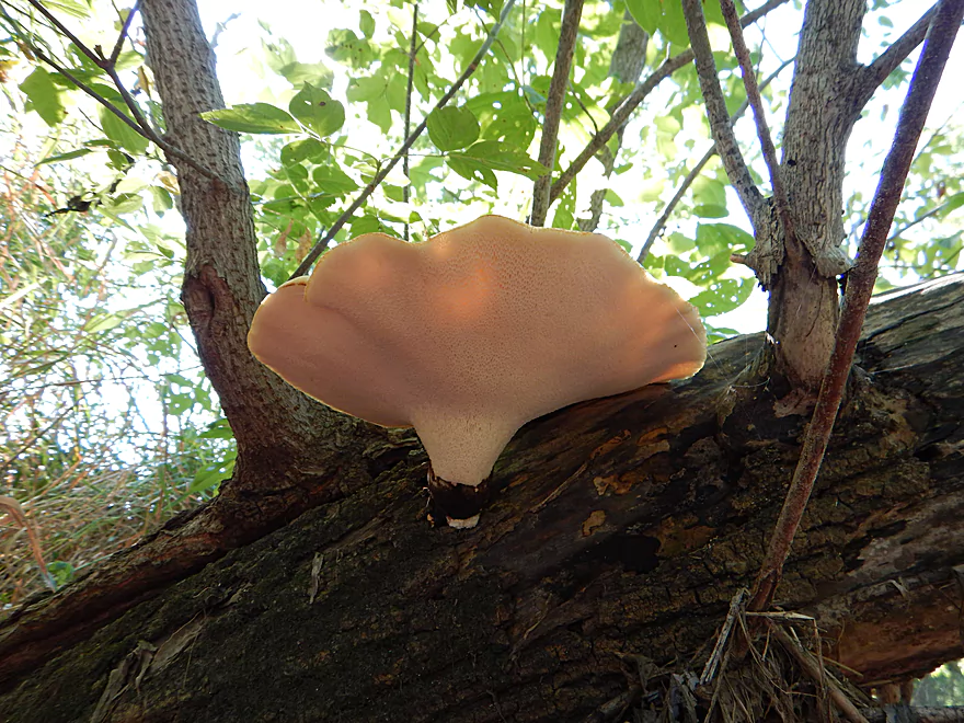
Cool pore fungus
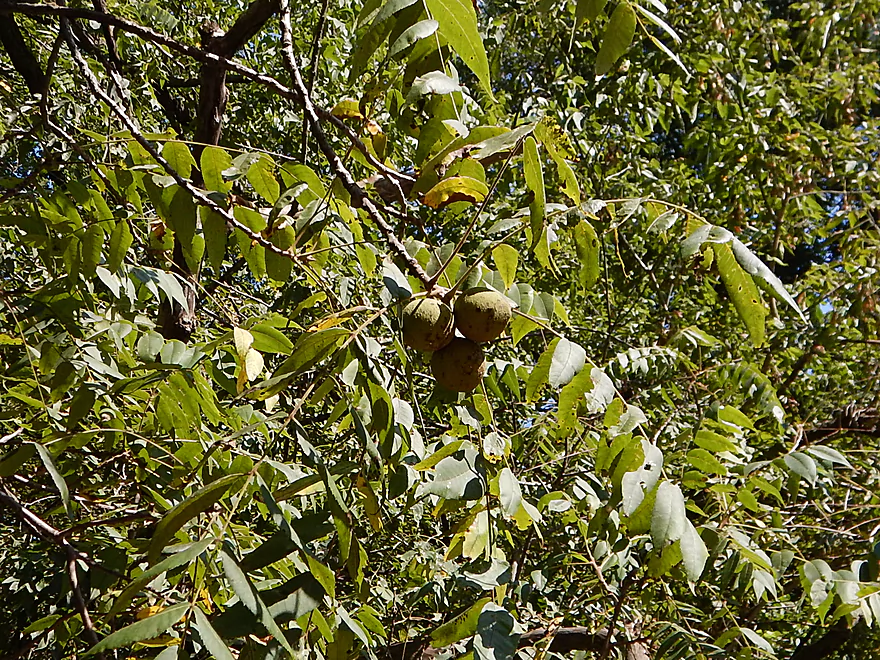
Walnuts! (quite the fruitful trip)
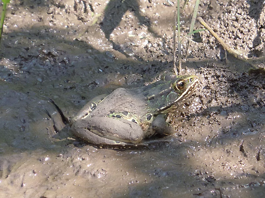
A very muddy leopard frog
Homestretch
Blynn Road is a good take-out but a tad bushy
7 more miles to the Wisconsin River at Arena
Black Earth Creek – Walking Iron

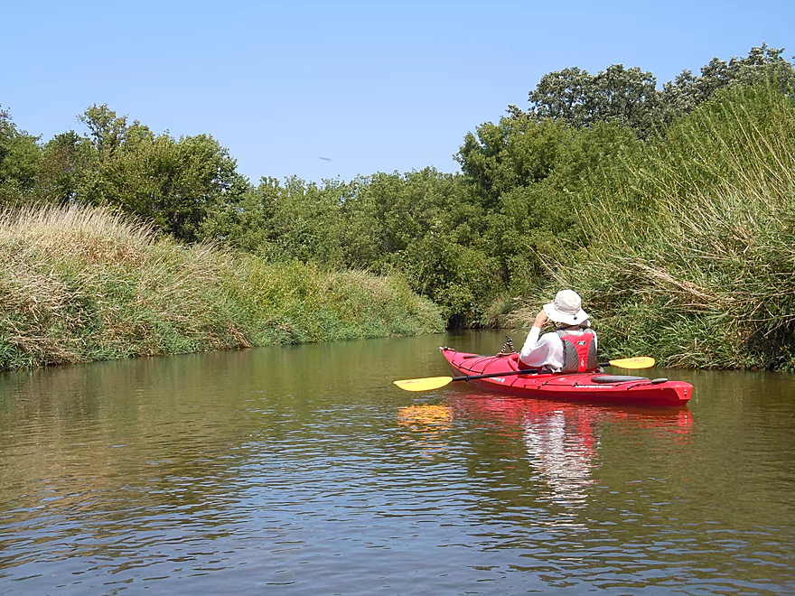
Black Earth Creek is a popular trout stream located a little northwest of Madison. It historically hasn’t been paddled much, but thanks to clean-up efforts by the locals it is now largely navigable. I’ve done most of the creek already and really liked it, so was definitely interested to see what this last post-Mazomanie section was like.
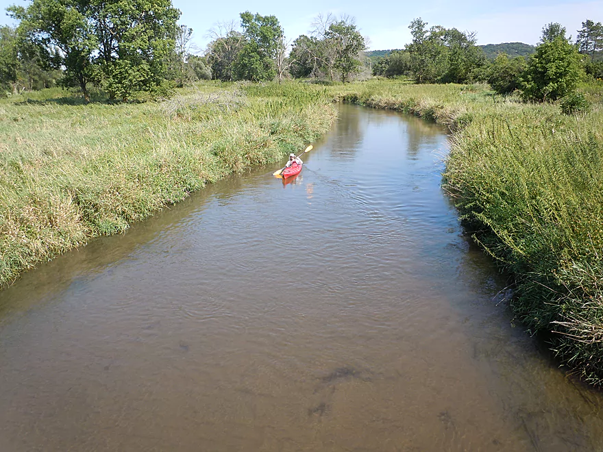
Trip starts out on a great note with good but not dangerous current and some slight riffles, including a class 1 rapids below the put-in bridge. The creek has a cool feel to it that is hard to describe. Perhaps it is the clear water, clean sandy substrate, not too much dead log debris and relatively clean/low banks with lush plant life.
From Walking Iron Park to West Hudson Road is easily the best part of the trip. Here the woods are the thickest and close to the creek, creating intimate canopies and a sense of mystery. It’s worth noting that of the entire length of the creek the very best section is upstream from Olson Road to West Hudson Road, which I reviewed previously. West Hudson Road is an alternate take-out but a bit bushy, with the best access directly below the bridge.
From West Hudson Road to Morrill Road the current slows down and the creek opens up a bit. It’s still nice and the highlight here are the cool, clear sections.
From Morrill Road to Blynn Road the creek really opens up, with most trees disappearing. You’re in cow country now. Directly under Morrill Road there are swing gates to block cattle from going under the bridge. They are a little unwieldy for kayakers to duck under but are doable. Sure enough, shortly after the swing gates we encountered a large herd of cows in the water. This last stretch is more of a cow savannah with grasses and disturbed plants being most dominant. Three farmers had active water pumps in the creek which they were using to irrigate their fields.
All in all, a really nice trip that I liked and do recommend (do the Mazo section first though). It’s kind of strange that a creek like this isn’t more popular than it is, but we did see two groups of kayakers on the water, so perhaps the word is getting out.
For geology fans, this creek has a lot of significance. 15,000 years ago it was a gigantic glacial river that filled much of the Black Earth Creek valley. This tremendous river eventually receded and Black Earth Creek is all that remains. This history has given Black Earth Creek a lot of unique character…especially with its clean, sandy substrate and pebbly bottom.
Webmaster Update – 2025-07-01: There are now signifant logjams between Lion’s Park and Blynn Road. See comment from Ben at the bottom of this page.
Good access at Walking Iron Park. There is a small pedestrian bridge you can cross and then put in downstream river-right. Parking and restrooms are to the south.
The bridge at Blynn Road is a little bushy, but otherwise plenty doable as an access with good shoulder parking. Best take-out location is southeast of the bridge.
I do not believe the local Wisconsin River liveries service this creek.
The bike shuttle is plenty manageable at 4.3 miles, mostly along Hudson Road, with just minor hills.
No hazards. Log jams have historically been an issue on this stretch, but they have recently been cleaned up by the locals, which is very much appreciated. Still be wary of new trees in the water. There are a couple of tight spots to squeak through so I’m not sure this would be a good section for canoes (kayaks would be fine).
Webmaster Update – 2025-07-01: There are now signifant logjams between Lion’s Park and Blynn Road. See comment from Ben at the bottom of this page.
Good current, especially near Walking Iron Park, with a couple of minor riffles. This was paddled at 32 CFS per the local gauge which, despite being below average, was never a problem for getting seriously stuck. I think 30-60 CFS is a good target. High 20’s are probably doable, but it might be a bit more bumpy. The creek will lose its fantastic clarity at higher flow rates, so lower is better. I suspect the creek might start to get too pushy at 60 CFS or more.
Animals included a red-tailed hawk, great blue heron, wood ducks, many green darners (a dragonfly that migrates), lots of leopard frogs and some beaver evidence.
The plants were actually the highlight. We had huge catalpa beans, wild plums, a wild pumpkin, many wild grapes, walnuts, wild cucumbers, exploding touch-me-not pods, ripe milkweed pods and a number of toxic berries. Quite the fruitful trip.
Detailed Overview
- Upstream from N. Birch Trail: The creek is small, but might be surprisingly navigable during high water.
- N. Birch Trail to Stagecoach Rd: 0.5 miles. Creek here is small and wooded with possible congestion and a few jams.
- Stagecoach Rd to Cross Plains: 2.0 miles. An intriguing prospect that may now be viable because Black Earth Creek has grown in size. Starts narrow, rocky and wooded then opens up. Maybe 2-3 logjams. Stagecoach Rd may not be a good access as a "No Tresspassing" sign is on one side of the bridge.
- Cross Plains to Salmo Pond: 4.3 miles. Nice stretch. Half of this leg flows by the community of Cross Plains. One fence and one logjam to deal with but not major.
- Salmo Pond to Black Earth Community Park: 4.2 miles. Several fences to deal with, but all in all, one of the more underrated legs on the creek.
- Black Earth Community Park to Olson Road: 4.5 miles.
- Black Earth Community Park to The Shoe Box Landing: 1.5 miles. Nice stretch that passes through the outskirts of Black Earth. Might be a few minor logjams to sneak past.
- The Shoe Box Landing to Olson Road: 2.9 miles. Pleasant open stretch. This is a common "add-on" leg for those wanting to do the popular Mazo trip, but as a longer trip.
- Olson Road to Walking Iron Park: 3.7 miles. The best and most popular leg on the creek. Much of it flows around the outskirts of Mazomanie and though a nice woods.
- Walking Iron Park to W. Hudson Road: 1.1 miles. A small but great section that is recommended as an add-on to an Olson Road trip. This doesn't receive as much upkeep so paddlers may encounter a logjam or two.
- W. Hudson Road to Blynn Road: 4.4 miles. An ok section but nothing special. This leg while once clear, may now have a few surprise logjams.
- Blynn Road to Mouth at Arena: 6.8 miles. Technically now Blue Mounds Creek, this is the weakest section.
Trip Map
Overview Map
Video
Photos Size:
My husband and I did this section this spring when the creek was very high. We had to portage about 6 times (lost count!) but hopefully the jams are cleared now. Just a few updates for you: There is a new bridge at the put in at Walking Irons park and the banks are very rocky from the new construction, my guess is to prevent erosion. All of the brush has been removed on both sides of the creek which looks great. On the south side of the creek, just downstream of the bridge, an “official” put in has been created and marked! The swing gates at Morrill Road bridge were gone at the time we paddled through. Don’t know if it’s just seasonal or if they’re gone for good. This is a fantastic website and has been invaluable to my husband and me as we are novice paddlers. Thanks!
Thanks so much for the comments Jennifer!
It’s too bad to hear about the new logjams, but I know some cleanup work has been done on the lower section and this might be in better shape now.
Also appreciate the heads up about the accesses and the fences. It’s great to see what the community has done the creek.
OK…please note that John’s Landing is now available at Walking Iron Park for a put-in and has space for about 15 cars to park. Good spot to put in. However, John’s Landing to Blynn road is still a work in progress. Very hard to keep clear plus the farmers have some issues with trees being cut, etc. It shall improve once the crops are out and we can get in to the creek from the fields. BUT now for the fun update: today 7 of us spent 5 hours with john boat/kayaks/hand saws/ chainsaw/loppers/ etc and cleared from Blynn down to the Wis River. It is totally navigable. There are trees to skirt around but all are do-able. Also we cut back many of the overhanging branches and managed to loosen some of the floating logs. So…go have fun. Gaila and Gary Olsen Black Earthlings along with 5 Mazomites!!
Really appreciate your hard work Gaila!
Tried to make it to Blynn Road yesterday, couldn’t do it. There are many logjams and tree debris in the way. Most of the time you can get speed and plow through a gauntlet of branches, or squeeze underneath a log, but at two locations I had to portage. I finally cut my trip short at a farm field on Morrill Road (so close!). Would not recommend until cleared out.
That’s too bad. Thanks anyways for the update though.
Also…at present there are some obstacles you will encounter in the Mazo area from olson road to john’s landing. Mazo will be taking care of them soon. And as for John’s landing to the Blynn
Road section of the river. That is a complete mess and will always be! We
did try clearing it last year….but it is so windy and full of jams and it
just is impossible to keep open . Anyone who does that section will always
run into obstacles and possibly fences. We spend most of our efforts on
the shoe box to John’s Landing section of the creek. Now…if a kayaker
wants to explore some more remote part of the river…put in at blynn road
and go all the way to the wis river and arena landing….that area is very
pretty and very wild. There will be some tricky maneuvering to deal with and some
obstacles to maybe portage around…but the banks aren’t usually too
intimidating. I have done that section a few times and enjoy its
remoteness. Once you paddle in, there are no escape routes or roads to get
out on because you are in the heart of the wis river bottoms. Cool.
Kyackers beware. Went down creek today from Olson road to park , only didn’t make it that far. Great ride up to bed and breakfast , beautiful. .. then a bit past that, all hell broke loose . Three Trees down , no area to portage , very deep water, banks eroded. Current pushed us both into down trees and we tipped. Kyacks sunk, wedged in trees. Had to hold on to downed tree with one hand, other hand trying to turn kyack as Water was over our heads. It was a real mess. We ended up having to leave boats and walk home . Very happy to get off that water today!!! Very dangerous . We would NOT recommend anyone going past Wolf Run Trail until they clear out trees . Be safe out there. The creek is not as it was last year .
Sorry to hear about what happened. The creek is a bit on the high side now and that can contribute to the pushy current. Hopefully those jams get cleared out in the future.
I did Lion’s Park to Blynn Road in early June 2025. The first section through probably almost a mile after Hudson Road is beautiful with some of it having awesome canopies. But there are some monster logjams that were very problematic. I was on a time crunch and had to bail at Morrill Road (which is not an ideal put in or take out). I came back a week later and finished the stretch, and I’m happy to say that Morrill to Blynn, while certainly having some deadfall you had to creatively navigate through, had no major logjams. If the heavy logjams in the middle of the trip get cleared, this is easily a 4 star trip, but with the frustrating obstacles, it’s a 2 at best. If I hear it’s cleared, I will definitely run it again, but I’m not even considering it unless I hear otherwise.
Thanks for the heads up. I’ve added the note about logjams on the main review to warn others.