
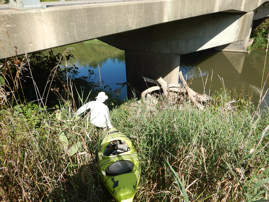
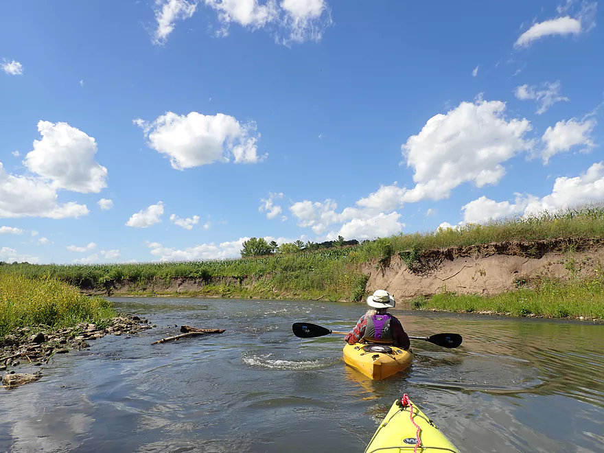
Starting the trip at Grant River Rd
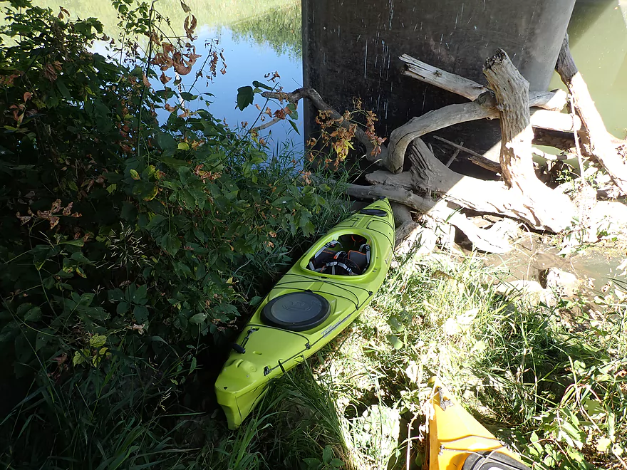
Not a good access
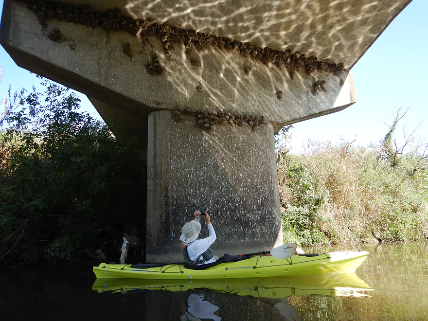
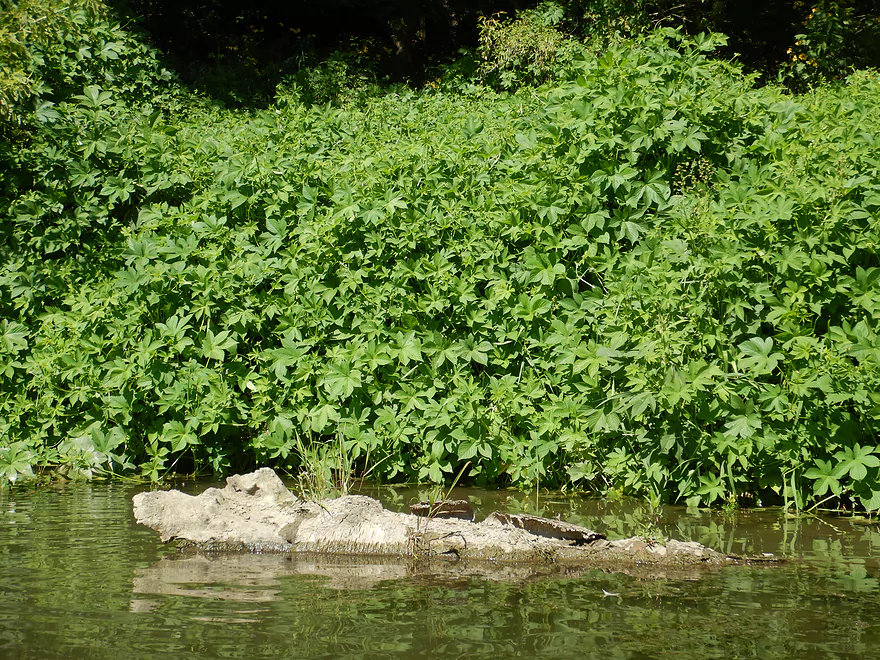
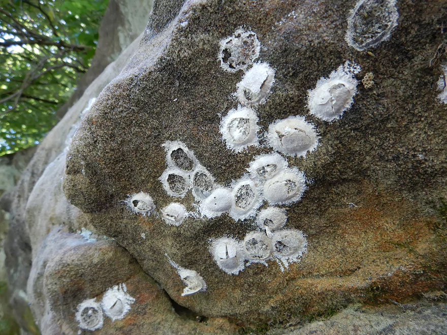
Large cliff swallow colony
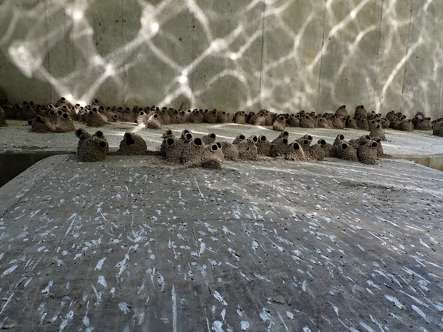
A Jackson Pollock painting
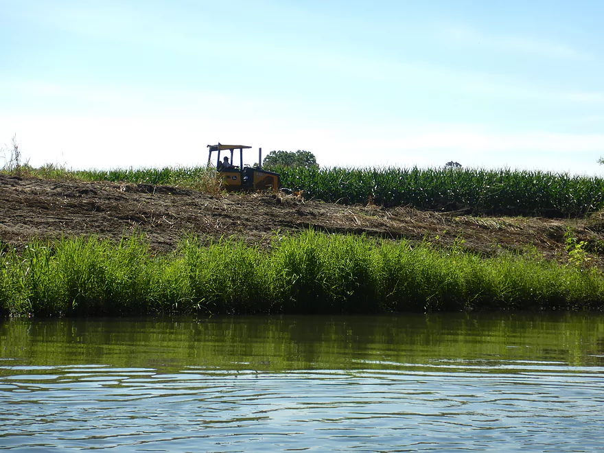
Farmer creating more room for corn
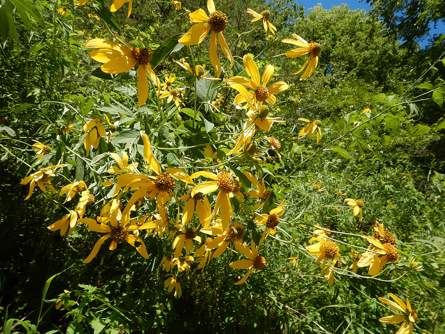
Cutleaf coneflower
Invasive Japanese Hops is common on the Grant
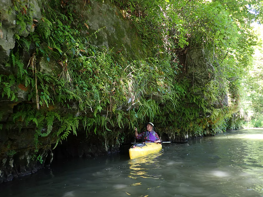
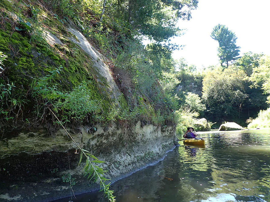
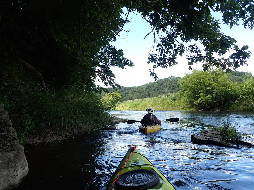
Terrific “hanging” ferns on the first outcrop
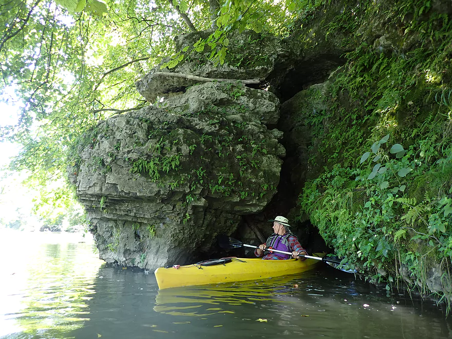
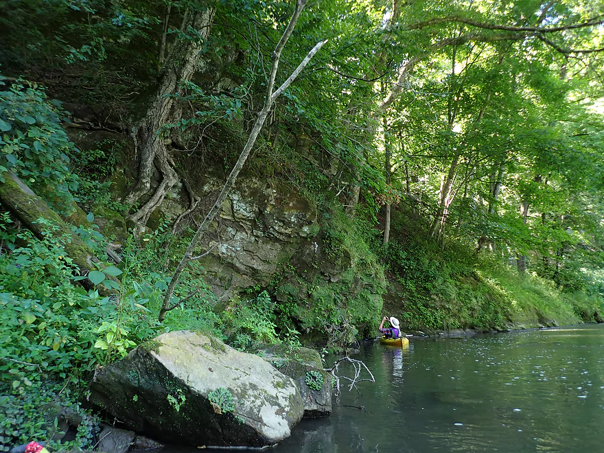
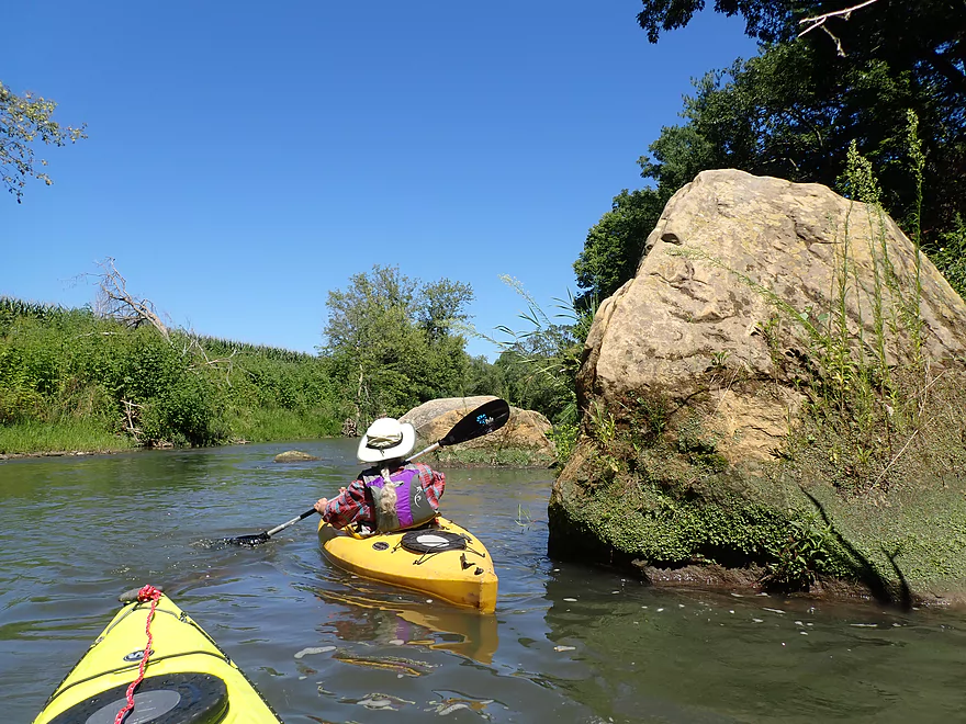
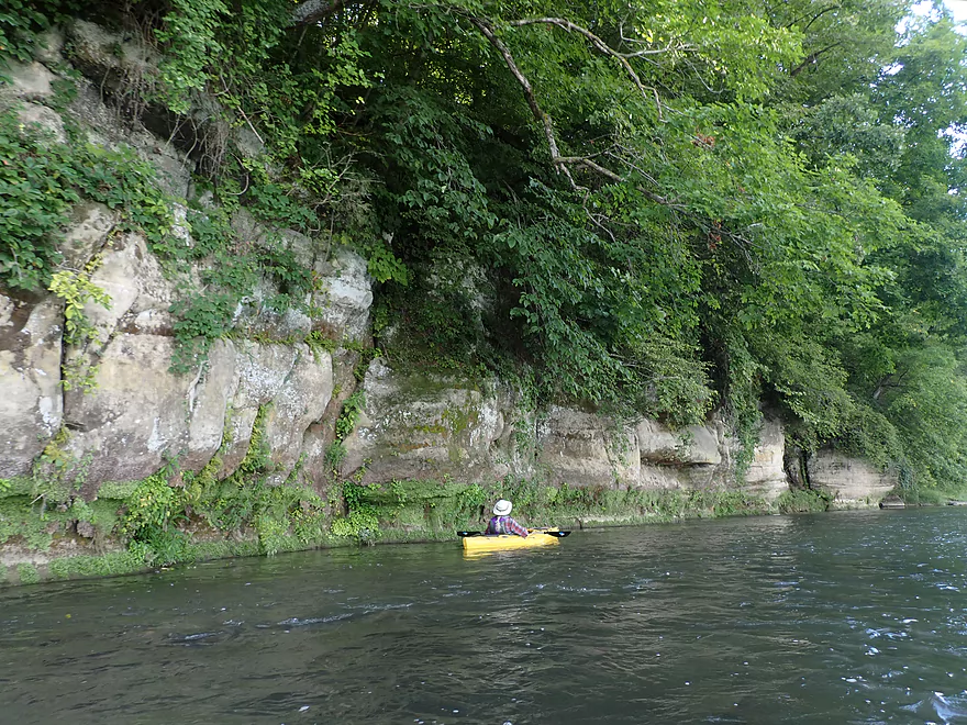
These kind of limestone outcrops are a common sight on the Grant
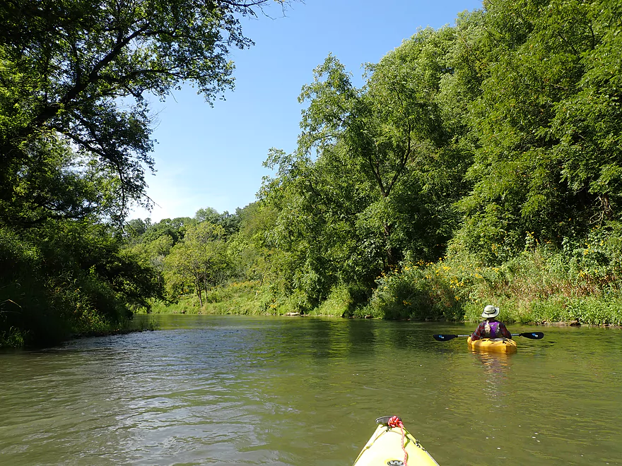
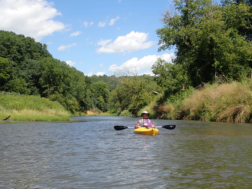
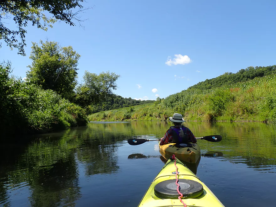
Very scenic
Entering a large horse-shoe bend
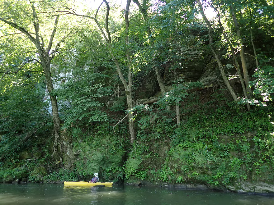
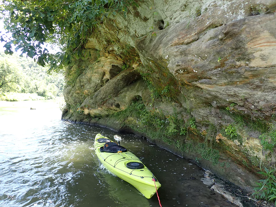
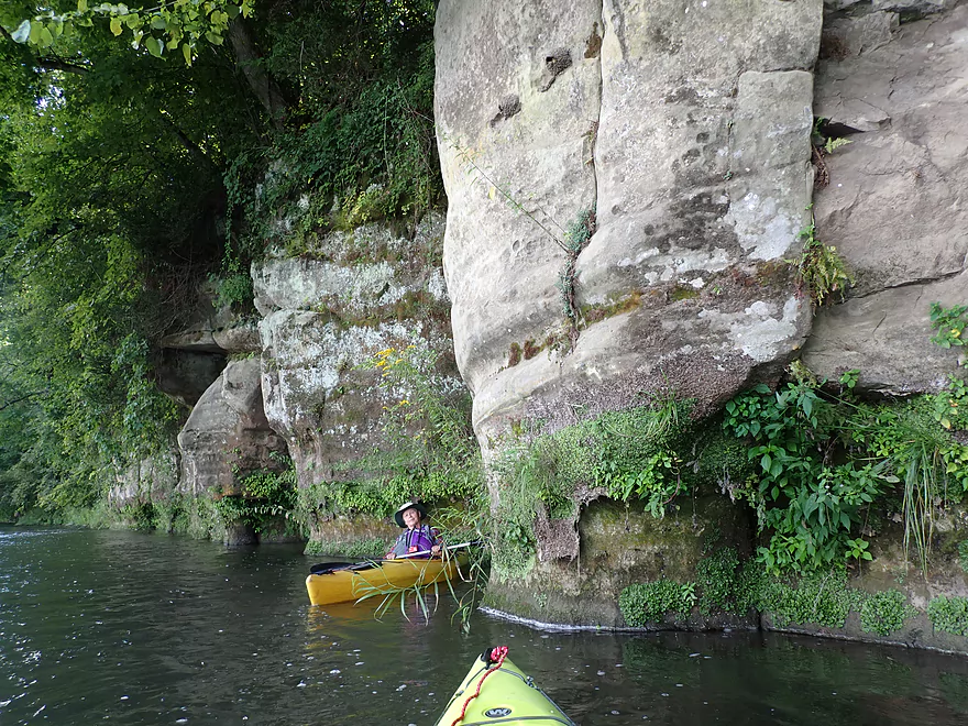
Terrific sandstone outcrop partly hidden by the trees
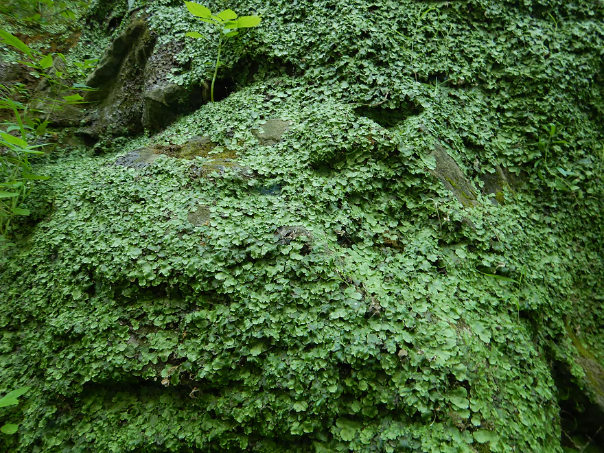
These boulders were covered with liverworts
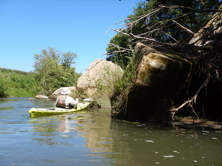
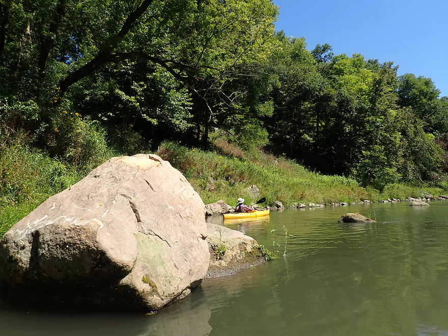
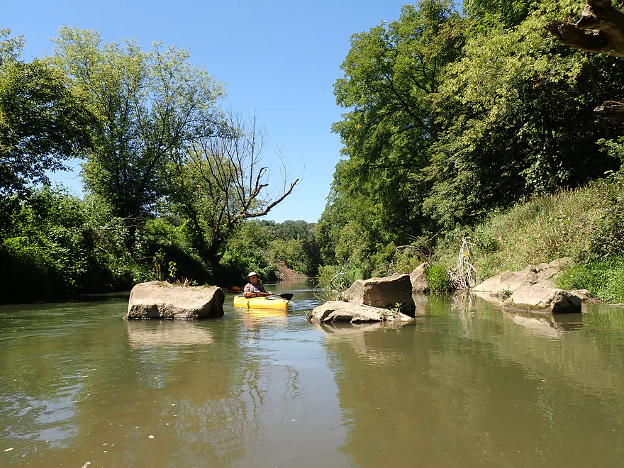
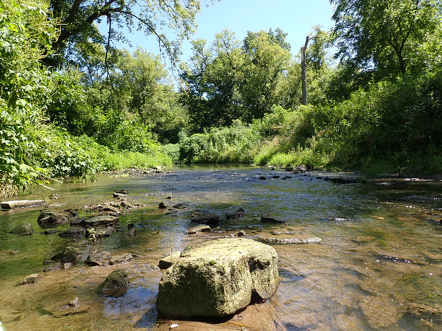
Paddling through a field of tumbled boulders
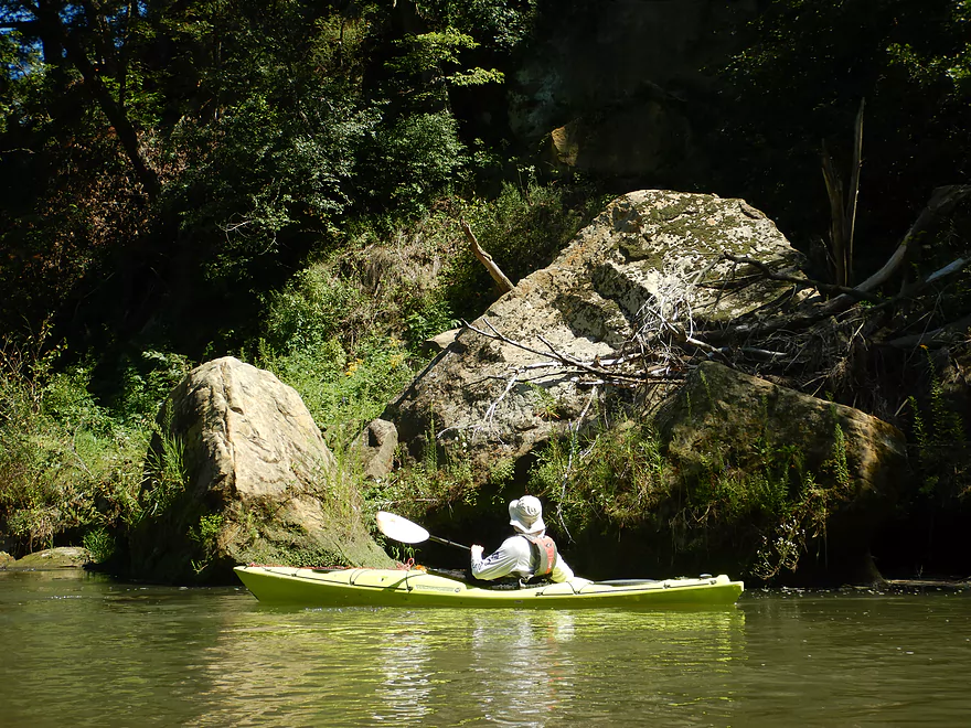
Some of these were HUGE!
This scene reminded me of the Blue River
Another sandstone outcrop
More tumbled boulders
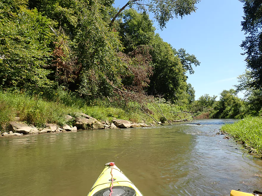
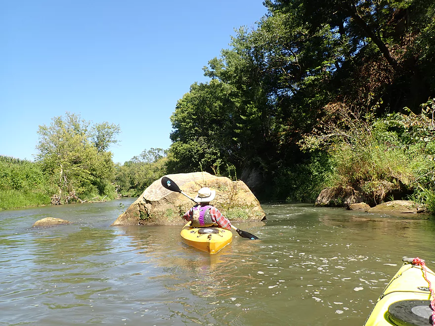
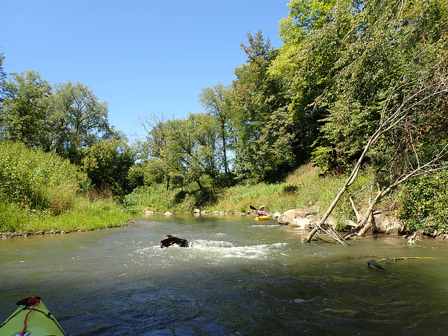
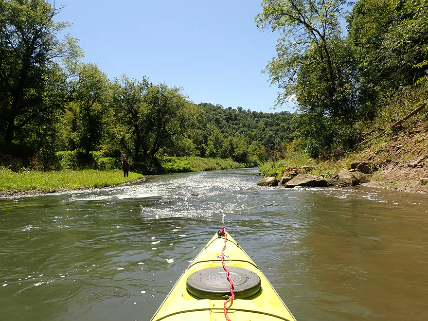
A loud stretch of Class 1 rapids (they sounded worse than they were)
Pretty fun
Reverse view
Pigeon River Road while a bit rough is a doable access
Pigeon Creek looks nice but shallow
This part of the river is a little ragged
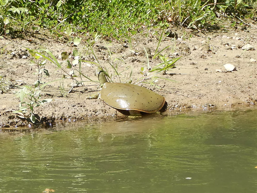
Softshell turtle
Some limb dodging but no logjam portages
More fun rapids
Dobsonfly eggs
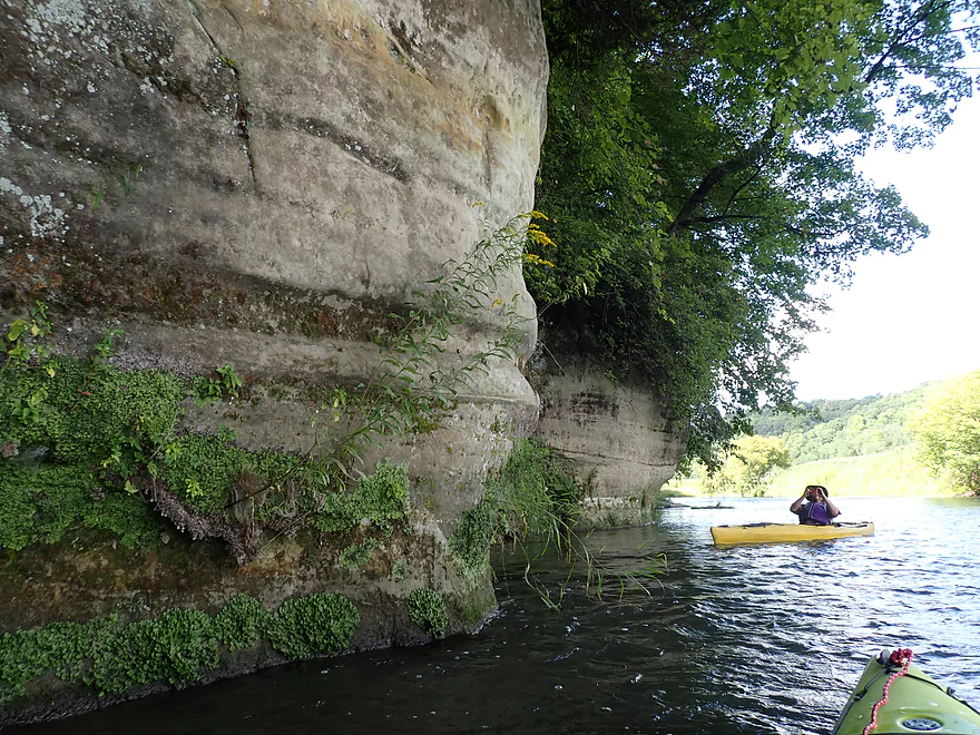
Striking orange rock face
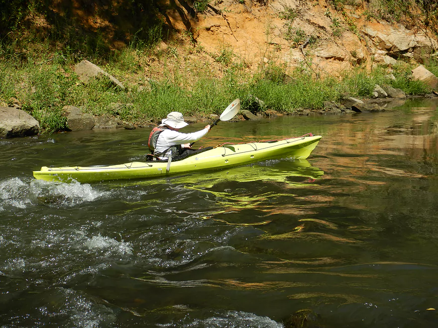
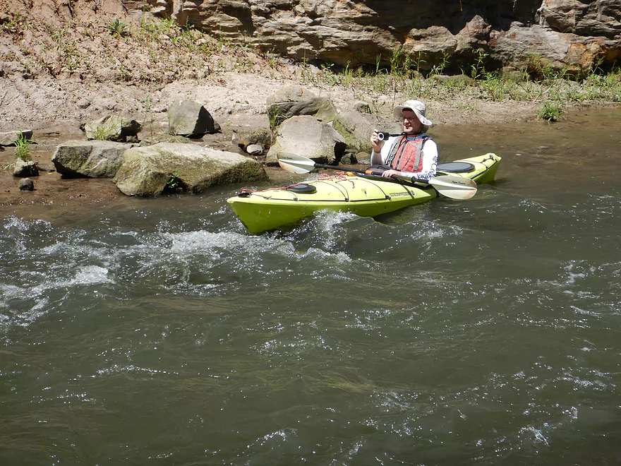
Heading upstream for another run
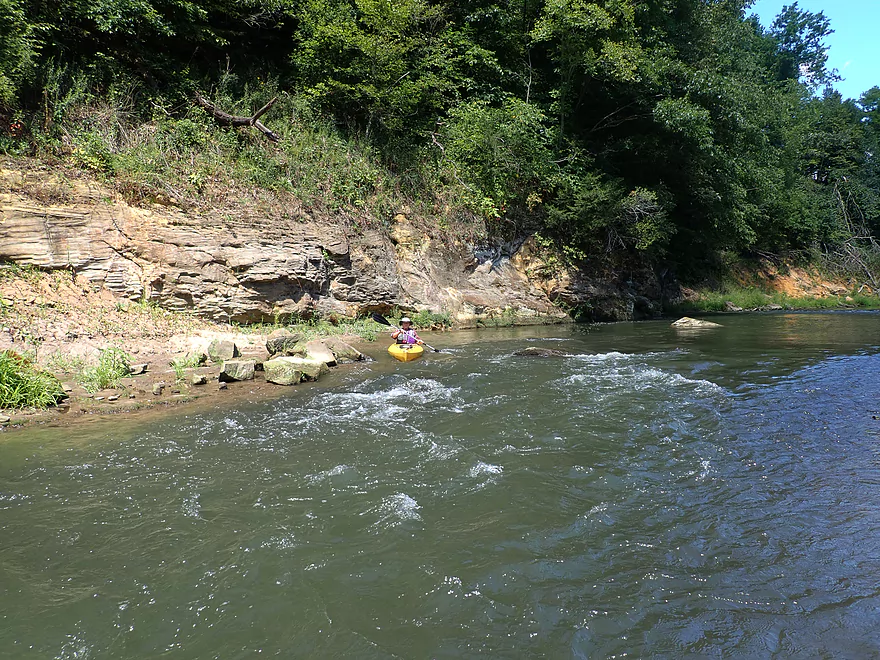
A great rapids coming up
Another scenic cliff
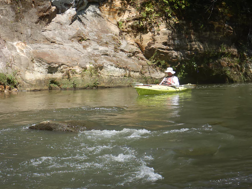
Strongest rapids of the trip
Wide shot
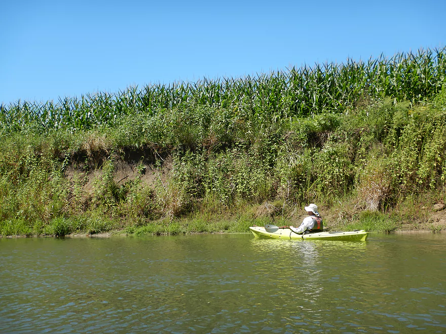
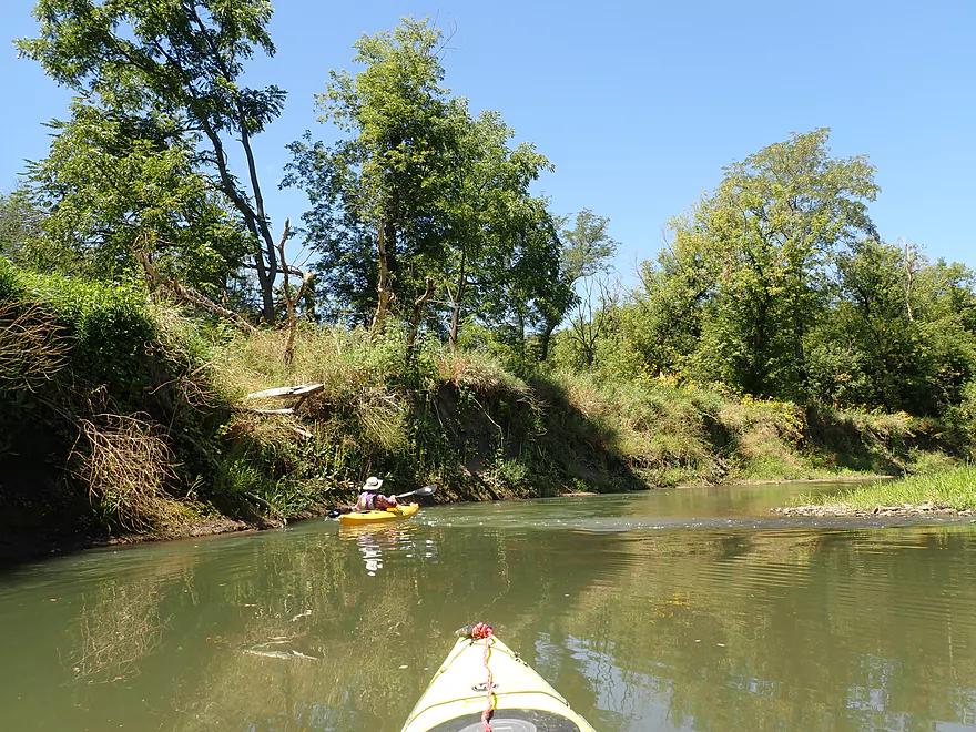
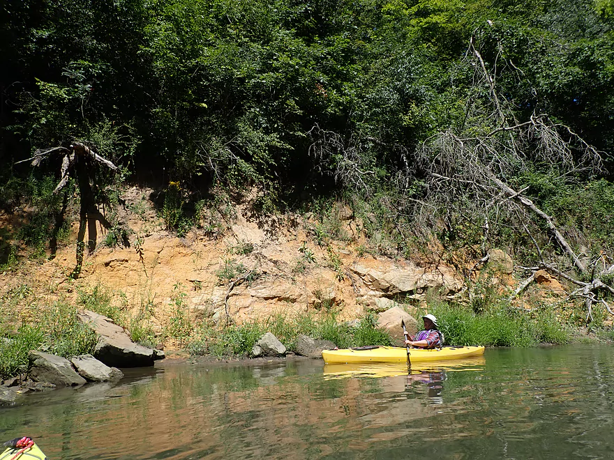
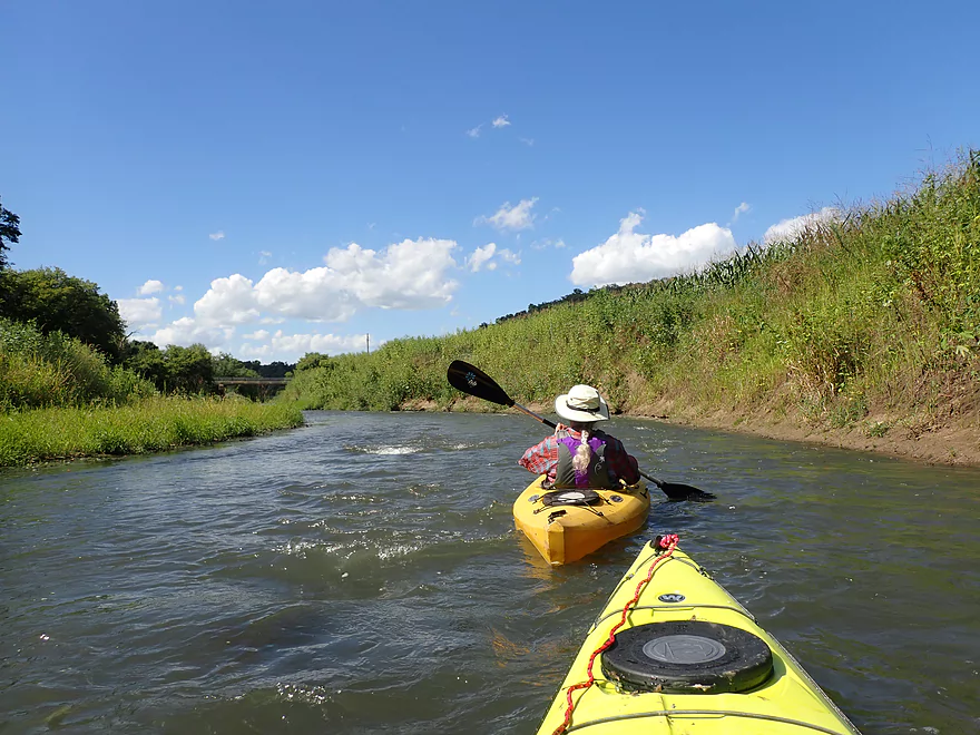
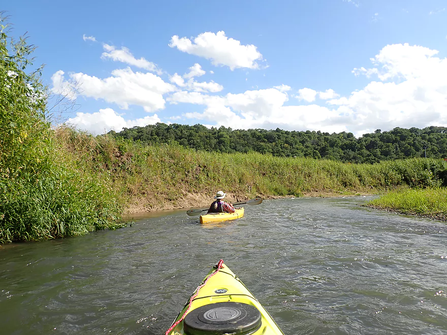
Tall mud banks with corn–a common sight on the Grant
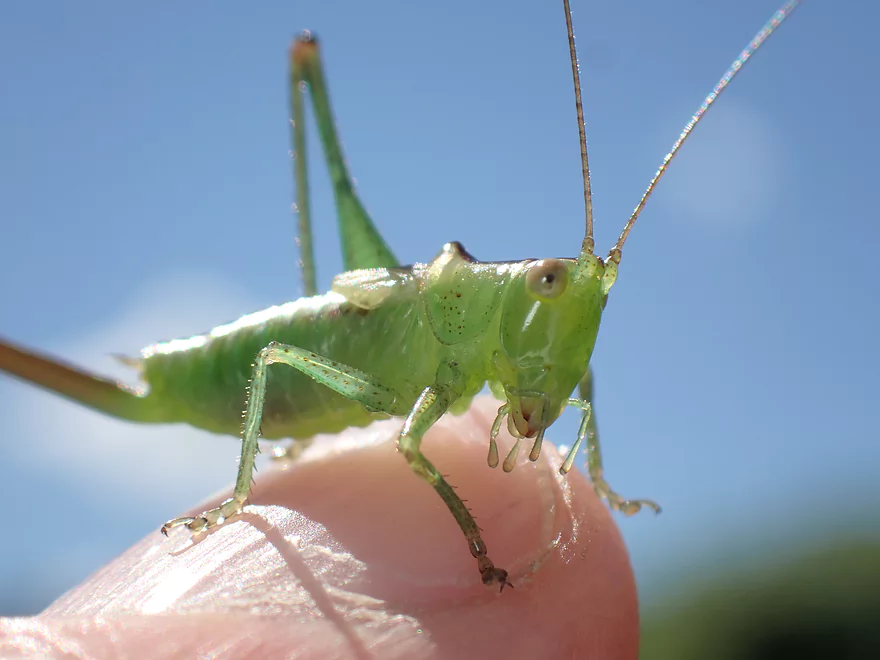
Friendly grasshopper
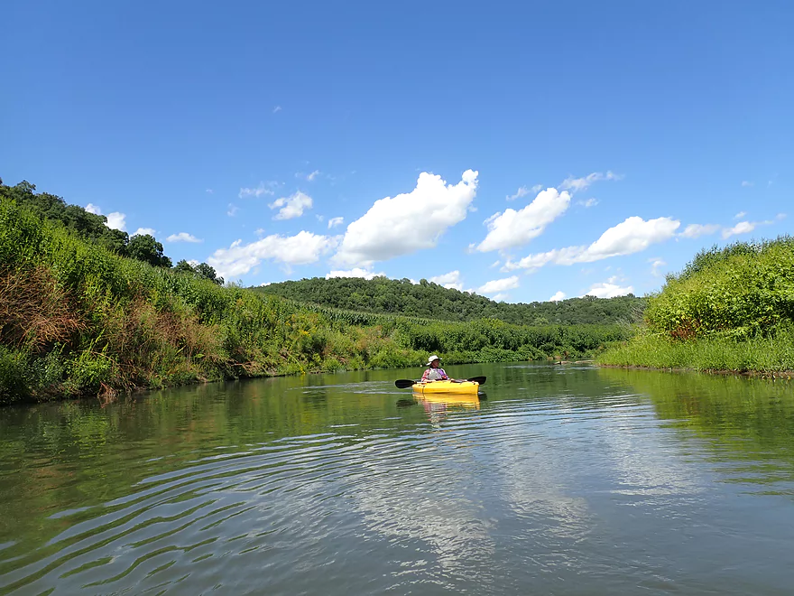
Beautiful blue skies
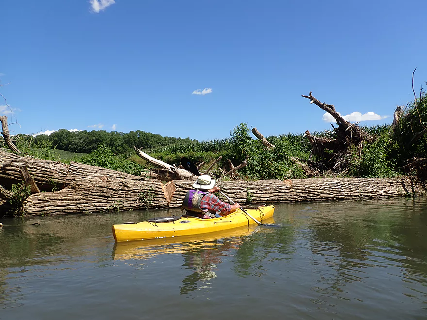
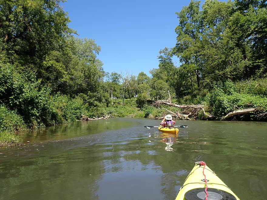
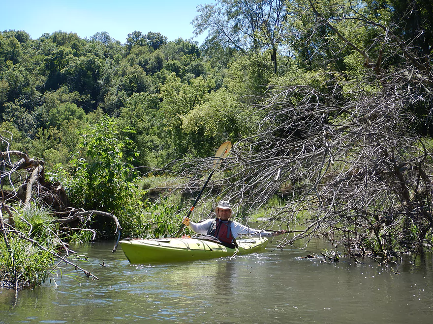
Huge tree mostly blocks the river
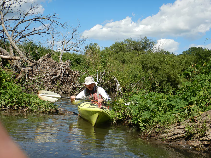
But there is a way around
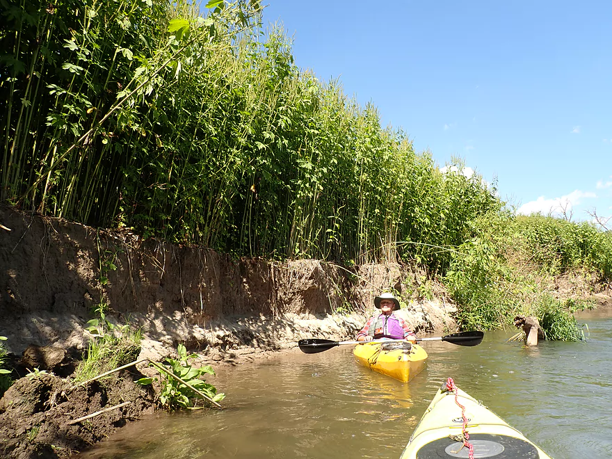
Giant ragweeds sit precariously on this crumbling dirt bank
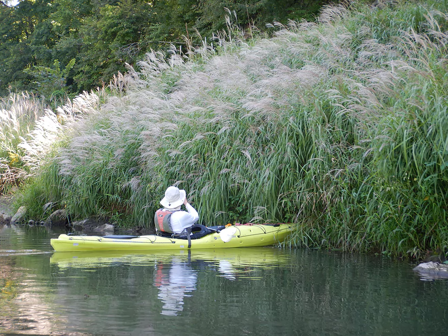
Escaped domestic maiden grass
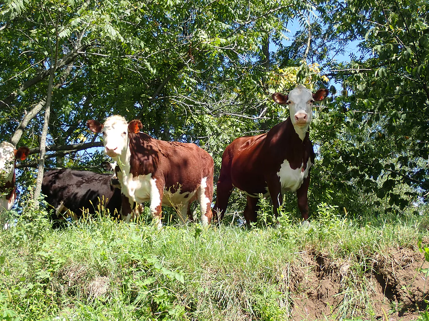
Friendly cows
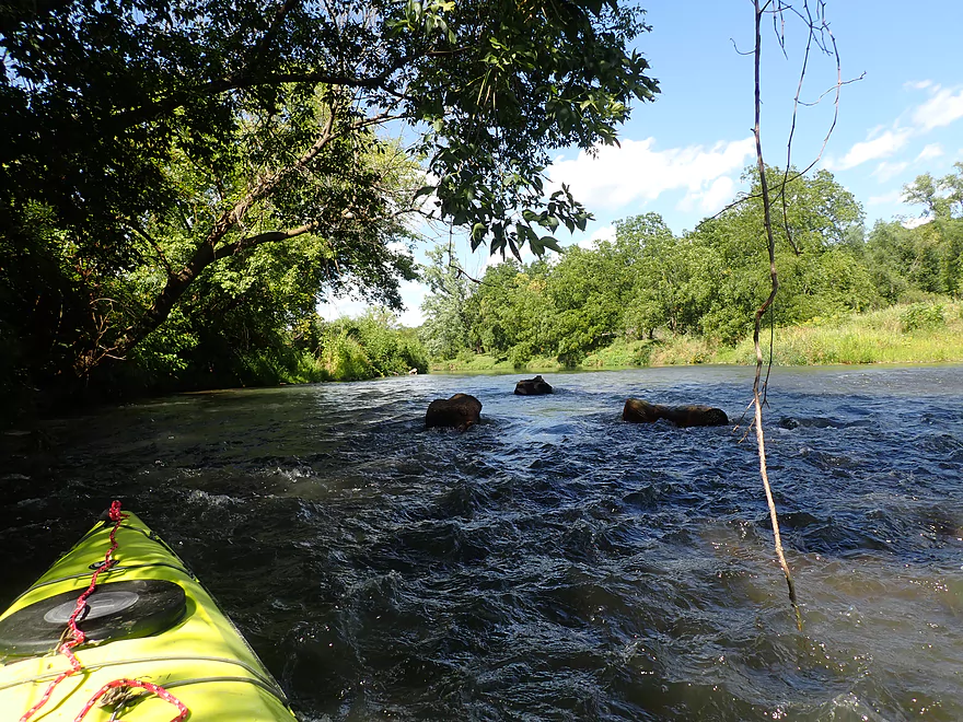
There are a few shallow spots on the river
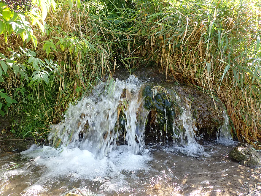
A little micro-waterfall
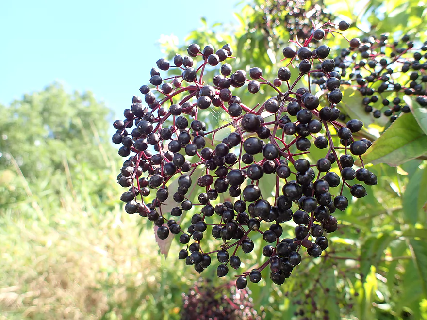
The elderberries are ripe
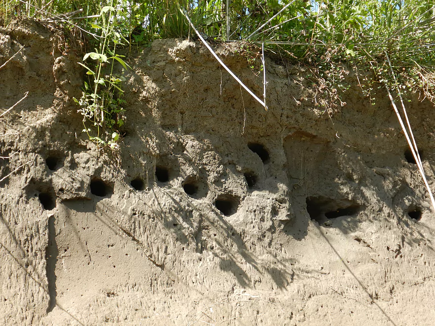
Swallows making their homes in the mud banks
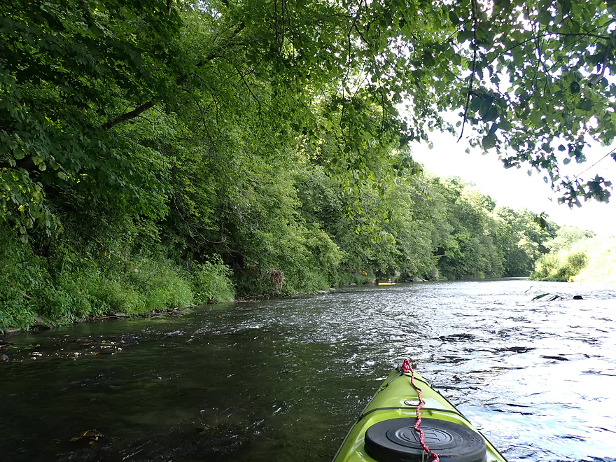
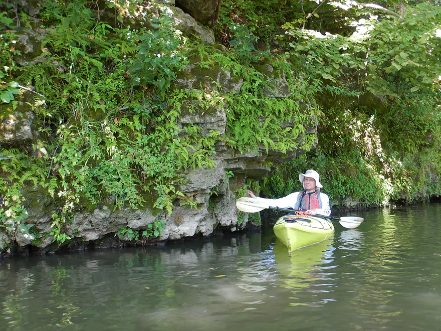
Entering a nice stretch with a long bluff
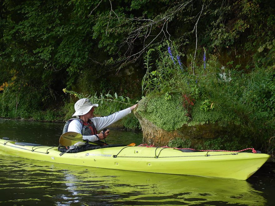
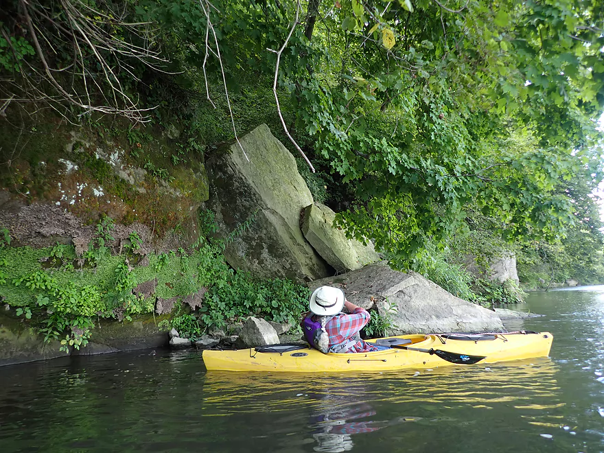
Checking out…
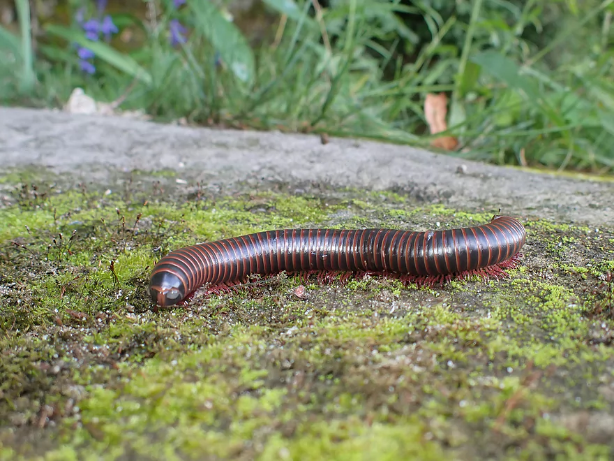
A millipede
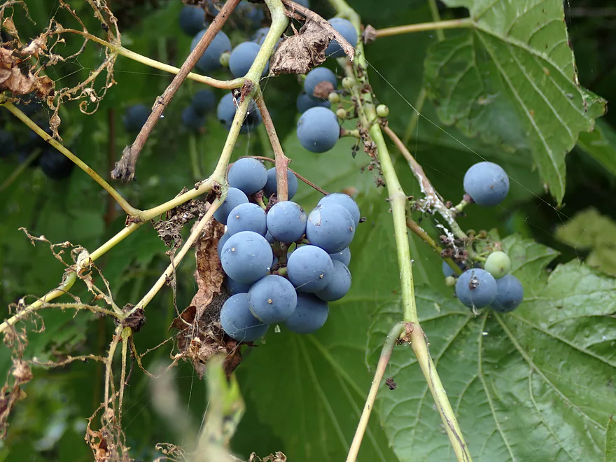
Wild grapes
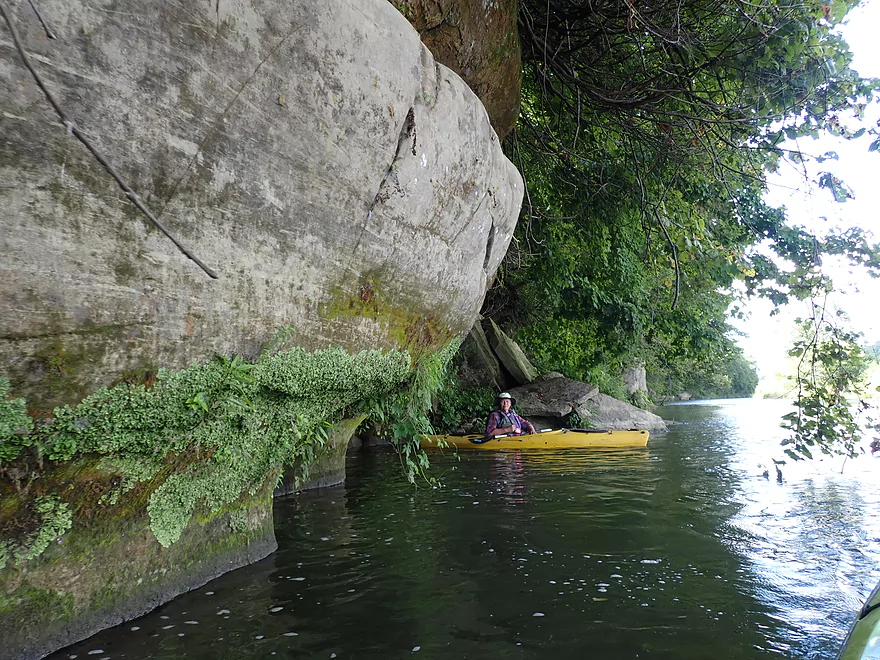
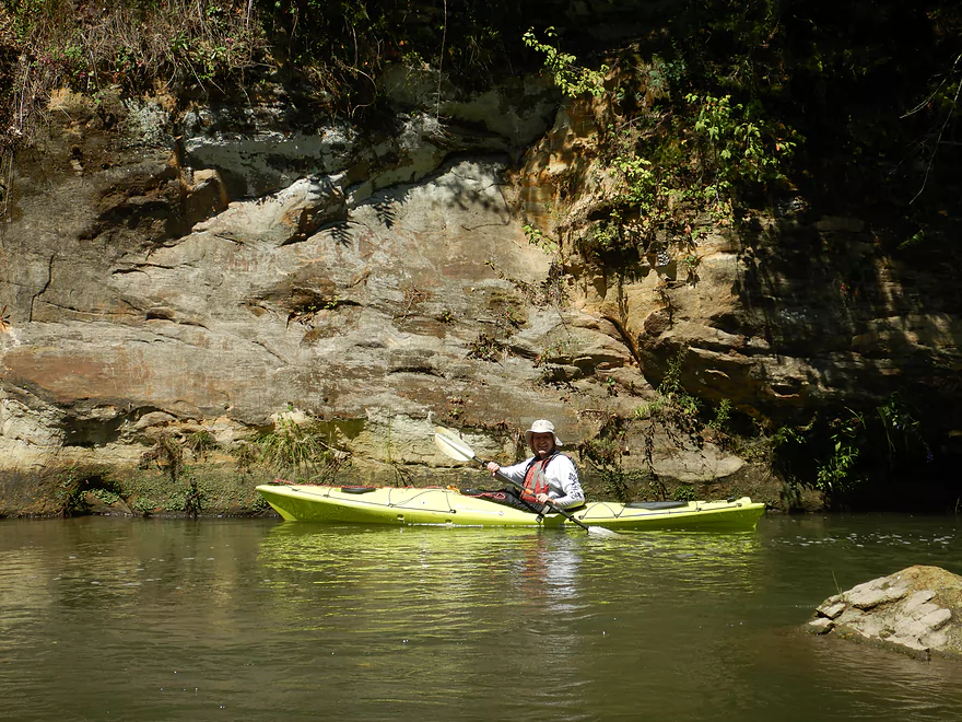
The longest stretch of sandstone cliffs on the trip
That was likely once a nice overhang
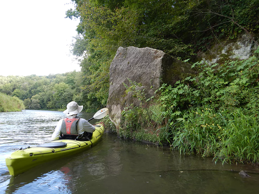
That must have made a big splash when it hit the river
One of many light rapids
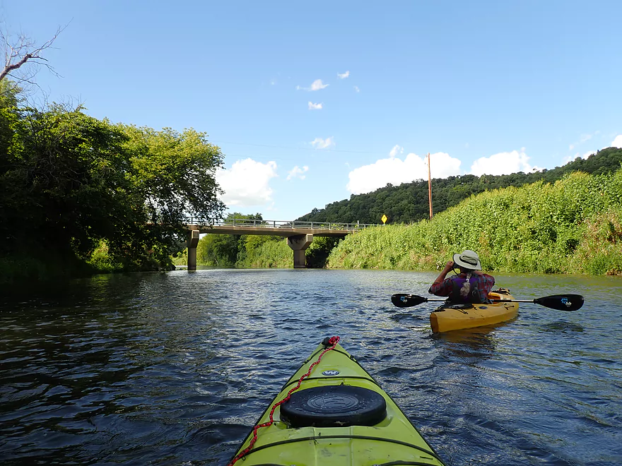
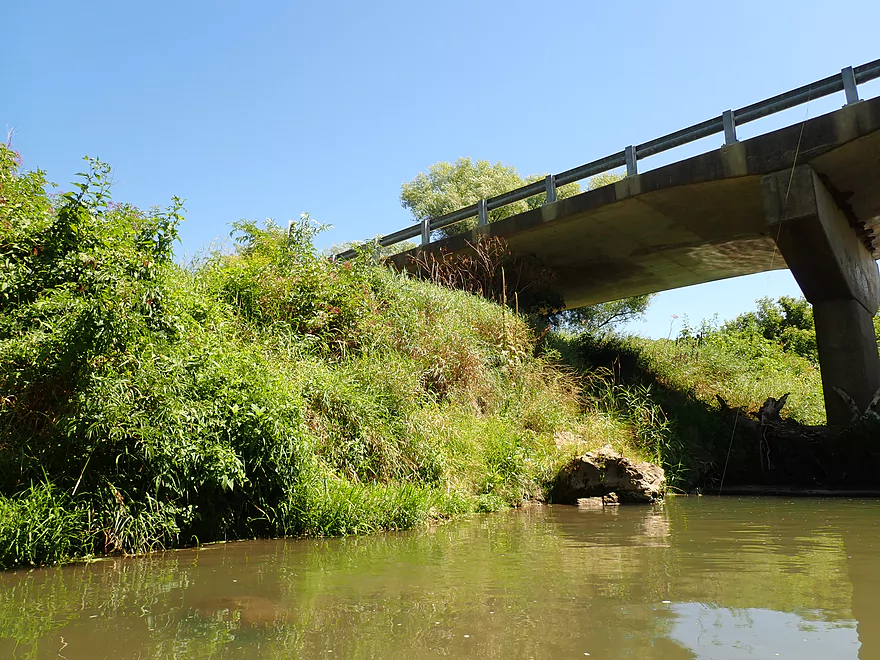
The second Pigeon River Rd bridge is not a great access
Last stretch of rapids
Taking out at Blackjack Road/Hwy U
This is a good access
Grant River – Grant River Rd

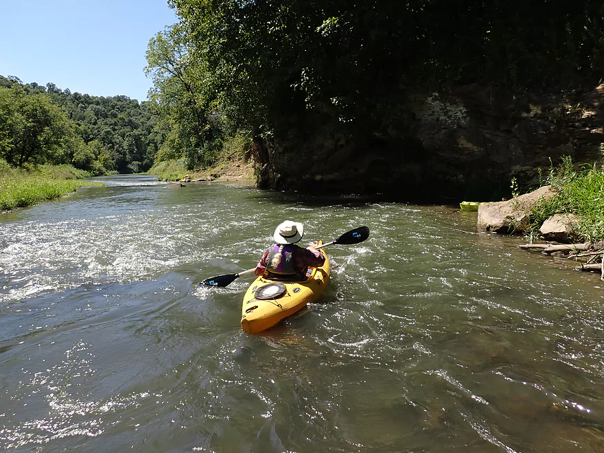
The Grant is one of the great paddling rivers of not just Southwestern Wisconsin, but of the entire state. It features classic driftless scenery and meanders in deep valleys between tall ridges and bluffs. The most popular and scenic part for paddlers is a 20-mile stretch from Hwy 35 to Chaffie Hollow Road. Previously, I’d done and reviewed three of four legs on this super stretch. For this trip, I completed the puzzle by doing the last remaining leg (Grant River Road to Blackjack Road).
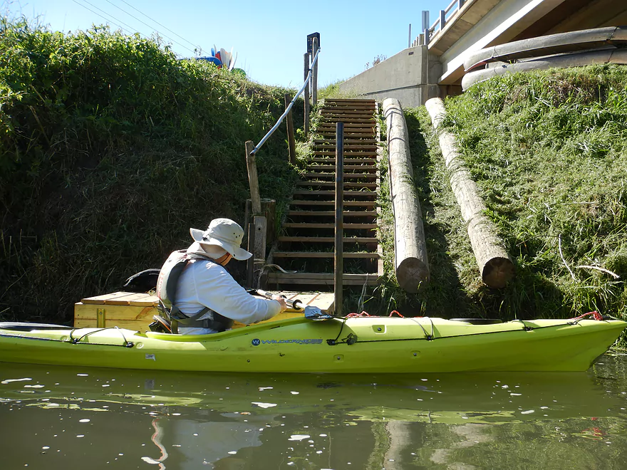
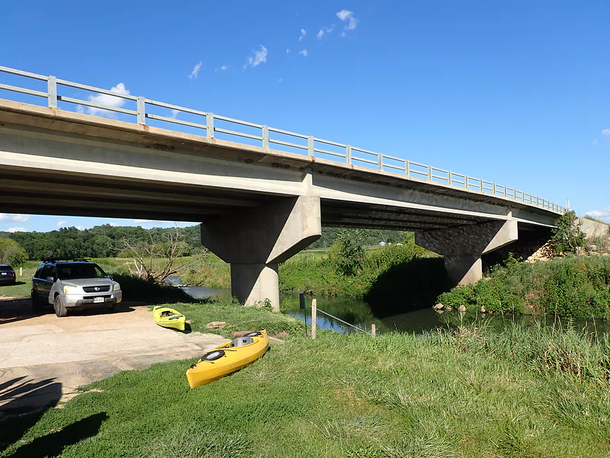
We started the trip at Grant River Road which was an awful access. The only reason we started here was that it was a prior take-out…for any other paddler, I advise using another bridge access.
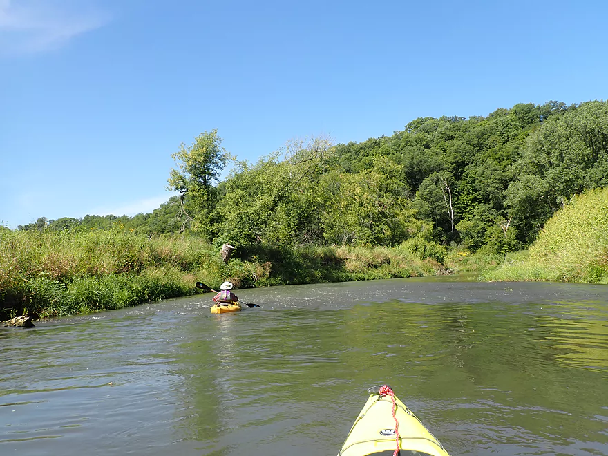
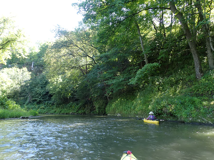
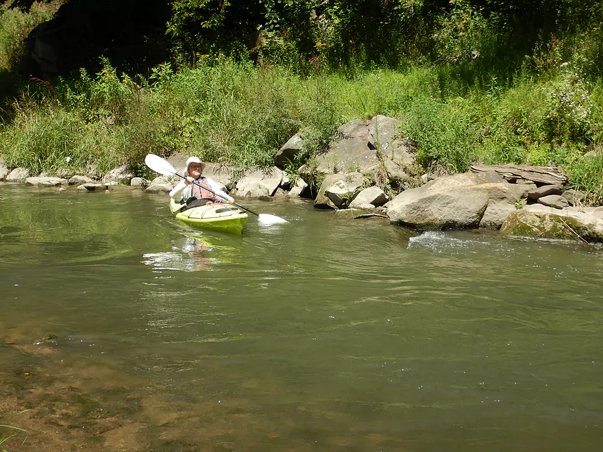
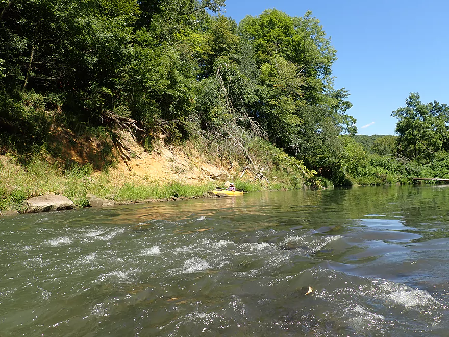
The first 1.5 miles of the trip were terrific. The first highlight was a smallish limestone outcrop covered with hanging ferns and exotic limestone textures. Soon after the river was forced to do a U-turn by an impressive horseshoe cliff. This was one of the more scenic sights on the river and featured tall bluff faces, a landslide with fallen white pines, and giant larger boulders in the middle of the channel. Unfortunately much of the sandstone cliffs was obscured by leaves. I suspect this scene is much more impressive in early spring or late fall when things are more open. Following the horseshoe cliff, we encountered a small boulder garden and light rapids that were fun to run and were kind of reminiscent of the Blue River.
Not far downstream, we encountered our first Pigeon River Road bridge. Five years ago this was a hopping access, but it now looked neglected. I suspect the local livery doesn’t launch from here much anymore. Pigeon Creek empties into the Grant just below the bridge. I’ve wanted to paddle this for quite some time, but it looked super shallow.
The next three miles were relatively open and didn’t feature many outcrops (perhaps why fewer paddlers do this stretch), but the ones we saw were quite nice. One of my favorite bluffs featured a pair of sandstone outcrops and fun rapids on another tight turn. One of the big surprises was seeing so much sandstone as typically the Grant features predominately limestone.
Outside of the rapids and outcrops though, the river was a bit mundane. The banks were often steep “mud cliffs” topped with disturbed species like Japanese hops and giant ragweed. Beyond the banks were dense cornfields planted ridiculously close to the river. This seemed to be a popular Grant County farming technique, but is unfortunate as the exposed banks create a lot of topsoil erosion. We passed a farmer on a bulldozer who was clearing out some shoreline trees to make room for even more corn. But beyond the corn though, there were driftless hills that were super scenic.
While this trip was mostly logjam free, we did encounter a monster a mile upstream from the second Pigeon River Road bridge. A large fallen cottonwood tree was wedged across almost the entire river. This would have been a horrible portage up near vertical mud banks, but thankfully there was a passable chute around the side. Somebody had tried to chainsaw through the huge trunk but it was too large and they just gave up. IMO some of these huge logjams might be best dealt with by burning them, and I would be curious to know if anybody has tried this technique.
Just prior to the second Pigeon River Rd bridge we were treated to a half-mile long stretch of sandstone cliffs, the longest of the trip, which were fantastic. Unfortunately the final mile to the take-out after that wasn’t super interesting, but it did feature a few fun rapids that sneaked past tall, steep mud banks. We ended our trip at Blackjack Road which was a good take-out.
In summary this is a trip I highly recommend. Just don’t launch from Grant River Road. This leg isn’t as popular as the one before it or after it, but it is still very scenic and a lot of fun. Paddlers wanting a unique experience might try a spring/fall paddle when things are more open and you would have better vistas of the bluffs and cliffs.
Grant River Rd: Shoulder parking is adequate, but launching here is tricky. The embankment leading to the water is steep and weedy. There really isn’t a great spot to launch and the channel is mostly on the deep side here. The best launch option will be directly under the bridge (south side) and against a downed tree. Not easy but doable for the determined. It’s highly recommended to simply use another bridge for your put-in.
Alternate Put-ins:
- Hwy 35: 5.5 miles upstream of Grant River Rd. This is a terrific leg if not one of the best on the entire Grant River. Hwy 35 is a manageable bridge access and has a faint trail leading to the water.
- Pigeon River Road(1st bridge not the second bridge): 1.4 miles downstream of Grant River Rd. Unfortunately launching here precludes the previous mile, which is one of the most scenic on the river. Pigeon River Road used to be a nice bridge access, but has fallen into neglect. The embankment is a bit steep and weedy, but it’s much better than Grant River Road.
Hwy U/Blackjack Rd: This is a good take-out and is a popular put-in for many paddlers. Be mindful though that it is private. The owner appears to let the public use it, but you should be considerate. There is a donation box at the landing where you can contribute to its upkeep. Also be conscious of where you park. The livery driver has to back his trailer into a tight spot and sometimes paddlers can accidentally block him from getting in. Lastly, there is a make-shift pier at this landing adjacent to deep water. This will require a dockside dismount, which for some kayakers can be a tricky endeavor (it helps to have a second person stabilize your boat).
Bike Shuttle: Blackjack Rd to Grant River Rd – 3.2 miles with 262′ of ascent. This is a relatively short but hilly bike shuttle.
Liveries/Rentals:
- Grant River Canoe and Kayak Rental: 608-732-0618 – 7961 9000 Camel Ridge Rd, Cassville, WI 53806
- Main Route #1: Hwy 35 to Hwy U (that would include this trip…note I’m not sure if they service this route much anymore)
- Main Route #2: Hwy U to Camel Ridge Road
- Main Route #3: Hwy U to Chaffie Hollow Road
- Custom trips are also an option
- Note, I think this business is now owned by Y’allbee Tubin
- Y’Allbee Tubin: 608-732-0618 – 9000 Camel Ridge Road, Cassville, Wisconsin 53806
- Main Route: Camel Ridge Road to Chaffie Hollow. Note, I’m sure they service this route anymore. I think they mostly start their trips from Cty U/Blackjack Rd now.
- They also rent out kayaks.
- Grant River Tubin’ Co: 608-763-4021
- Main Route #1: Chaffie Hollow Road to Burton.
- Main Route #2: Camel Ridge Road to Burton.
- I don’t think they rent kayaks, but they may be willing to do car drops for paddlers that have their own equipment.
Current: This is a pool and riffle river. The riffles are mostly nothing dangerous, but the current can get pushy and tricky after a flood.
Rapids: There were a number of light rapids that were pretty easy. The strongest pitch was about a mile downstream from the first Pigeon River Road bridge which I would rate Class 1+ (almost Class 2 but not quite).
Fences: None!
Logjams: There were a few snags to duck under, but these were easy. About a mile upstream from the second Pigeon River Road bridge, there was a major logjam. Thankfully there is a side chute around the mess that allows paddlers by (barely). This side chute does require “hopping” over a partially submerged branch that could get tricky in extremely low water.
There is a nearby gauge in Burton. We did the trip at 180 CFS.
- 0-100 CFS: A bit low with maybe some rock bouncing, but good clarity.
- 101-200 CFS: Great paddling depth. Five years ago this would have been a very high depth…but nowadays the river rarely gets this low. There will be a few shallow areas, but you can mostly paddle around them with good navigation.
- 201-300 CFS: Good paddling depth but water clarity will be turbid.
- 301-500 CFS: A high depth, but should be plenty fine.
- 501-700 CFS: A very high depth, but likely navigable for experienced paddlers. Water quality likely won’t be good.
- 701+ CFS: The Grant likely only gets this high coming from or going to a flash flood. Be careful. For most paddlers these likely won’t be ideal conditions.
Detailed Overview
- Pine Grove Road to Hwy 61: 2.1 miles. Very small and would need flood-like levels to be navigable. Likely not interesting with several fences, 3-4 logjams, and flowing mostly through cow pasture.
- Hwy 61 to Mt. Ridge: 5.0 miles. A rugged and small paddle that needs high water. Unfortunately there is a lot of mud and pasture to deal with not to mention a few logjams. However, there are many fun rapids and several scenic outcrops.
- Mt. Ridge to Pine Knob Road: 2.6 miles.
- Mt. Ridge to Hwy K: 1.7 miles. Narrow and fast with several rock outcrops. No logjams, but a few tricky strainers.
- Hwy K to Pine Knob Road: 0.9 miles. A neat section with more outcrops, a longer set of Class 2 rapids, and Klondike Springs.
- Pine Knob to Hwy A: 2.7 miles. Likely way too many logjams.
- Hwy A to Grays Mill Road: 0.7 miles. Maybe one downed tree. Mostly a simple farm field paddle.
- Grays Mill Road to University Farm Road: 3.4 miles. Maybe 2-3 downed trees and one set of rock outcrops. River gains significant volume in this stretch from tributaries.
- University Farm Road to Short Cut Road: 3.7 miles.
- University Farm Road to Slab Town Road: 1.5 miles. Very muddy and one noteworthy strainer, but also has a great series of limestone outcrops.
- Slab Town Road to Short Cut Road: 2.0 miles. Less muddy and with several sets of fun rapids, but has only one tiny outcrop and there is a logjam to deal with.
- Short Cut Road to Grant River Road: 5.5 miles. Great section with some attractive outcrops.
- Grant River Road to Hwy U/Blackjack Road: 6.2 miles.
- Grant River Road to Pigeon River Road(1st): 1.4 miles. Great stretch with some of the best outcrops on the river. Grant River Road is a bad access.
- Pigeon River Road(1st) to Hwy U/Blackjack Road: 4.8 miles. A good leg with a mix of sandstone and limestone outcrops. Outcrops aren't as common as other legs, but it's still a nice stretch..
- Hwy U to Camel Ridge Road: 6.0 miles. Good stretch with some nice rock outcrops.
- Camel Ridge Road to Chaffie Hollow Road: 3.2 miles. Very scenic section with good current. Features a waterfall and some nice outcrops. Very popular with tubers.
- Access note – The Chaffie Hollow Road landing is private. Get permission from one of the three liveries like “Y’Allbee Tubin” to use it, or take out under the bridge (the latter is not easy).
- Chaffie Hollow Road to Hwy N/Burton: 3.3 miles. I don’t know much about this section. Likely more open and less interesting…but likely some outcrops and light rapids.
- Access note – The landing at Burton is private. If you take out here, use the bridge instead.
- Hwy N to Great River Road: 8.5 miles. Should be a few nice rock outcrops, but the channel is much larger and muddier. Maybe 3 logjams. Take out at Hwy 133 on SE side…not an ideal launch area.
- Great River Road to Mouth: 1.6 miles.
- Mouth/Mississippi to Potosi Point: 1.2 miles. A short trip on the Mississippi before disembarking at Potosi Point.
Trip Map
Overview Map
Video
Photos Size:
Love your videos but would like to see more of how you get around obstacles, like the one you touched on briefly. I’m a visual learner so it helps me see things,in addition to reading about them. Thanks!
Thanks for the feedback. I’ll take this into consideration for future reviews. FYI, getting around that logjam wasn’t super difficult. We had to do some minor hopping over a branch, but otherwise the river had cut a clear detour around the tree.