
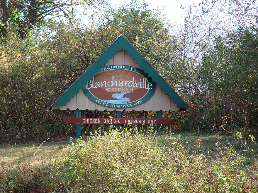
Welcome to Blanchardville
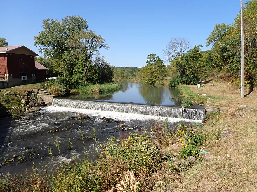
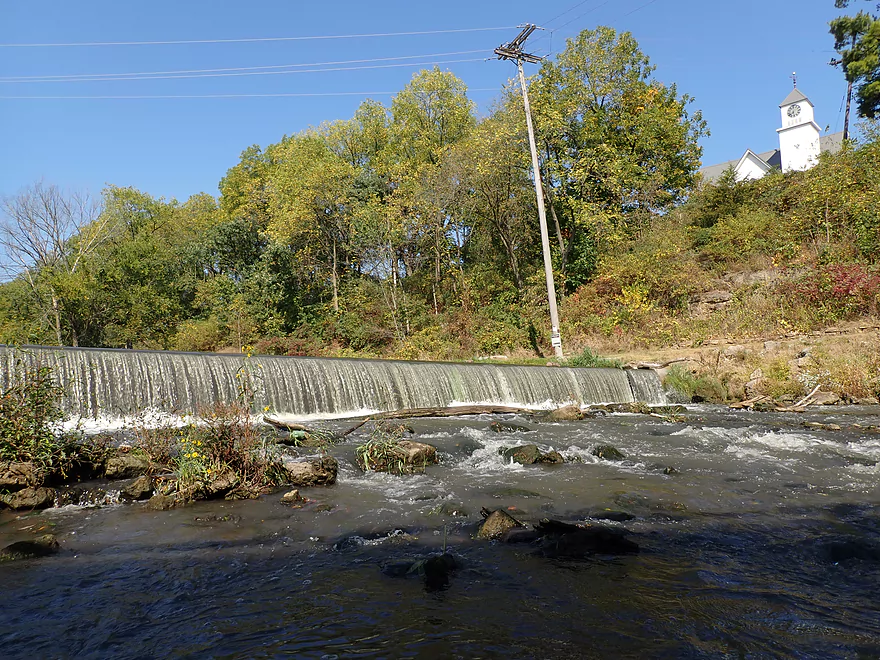
Which has a scenic dam
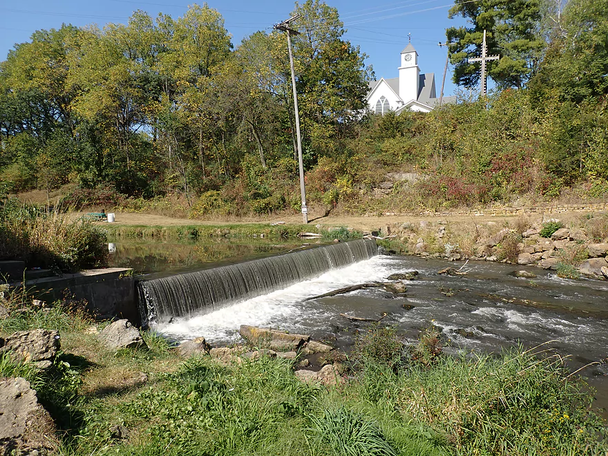
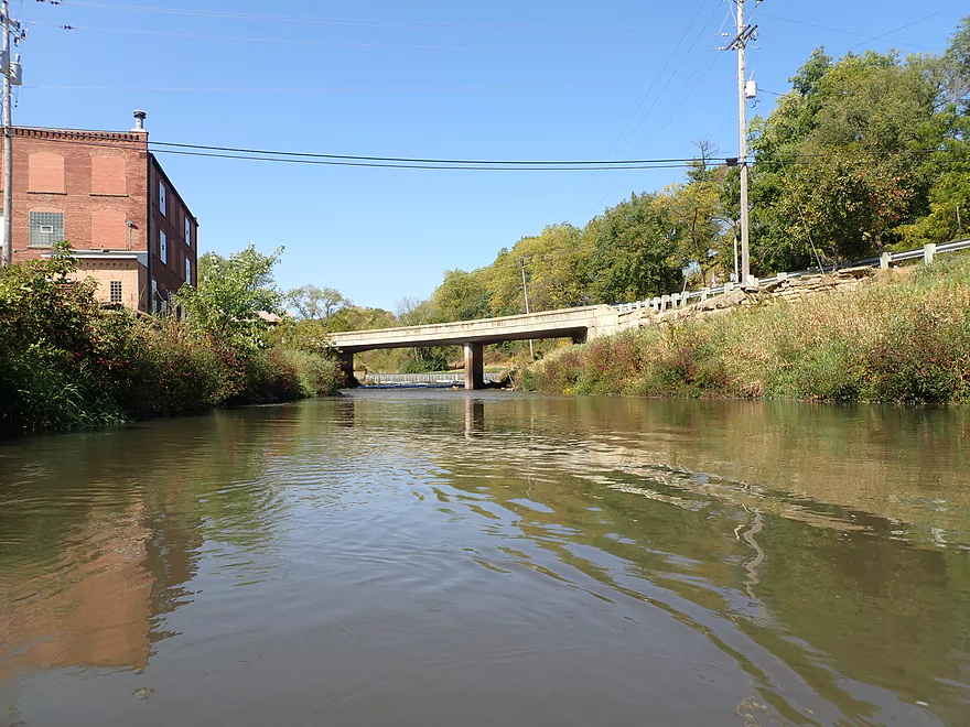
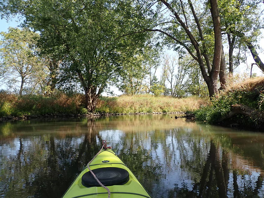
View from south shore
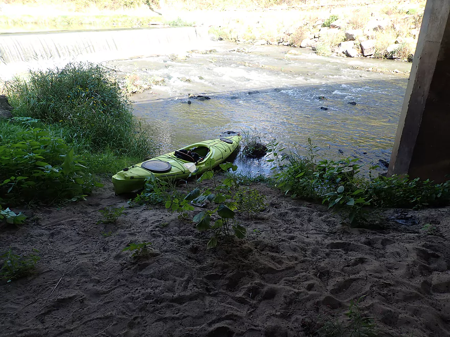
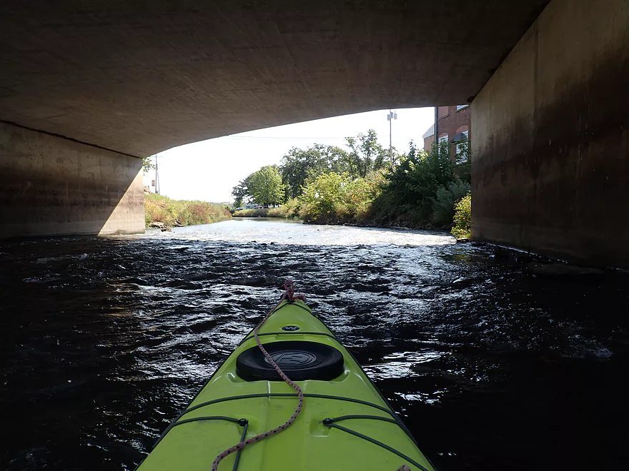
Putting in directly below the bridge
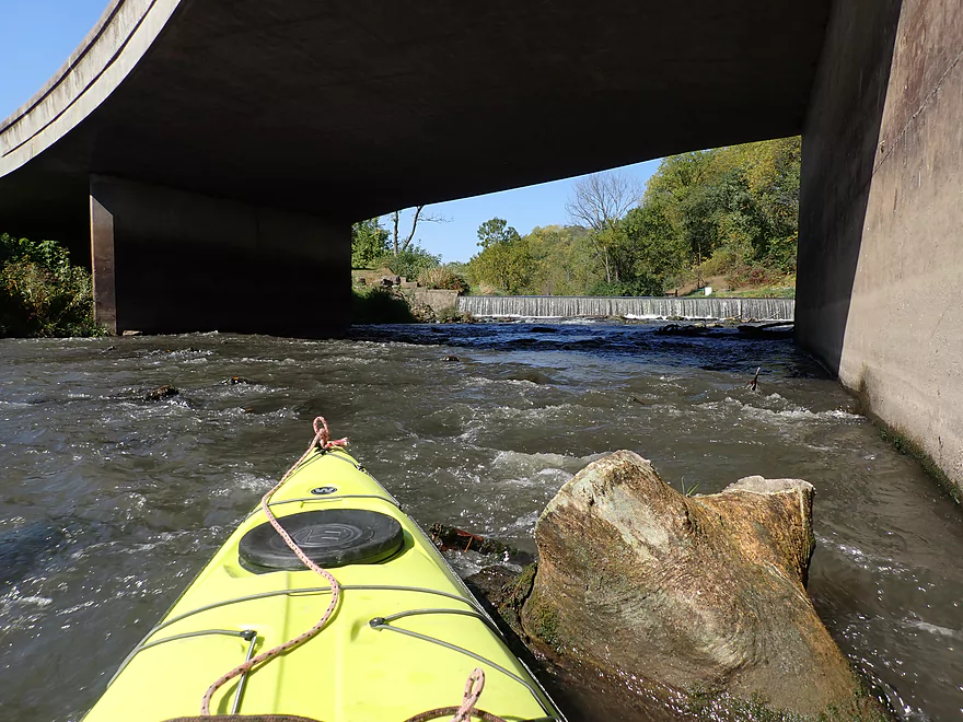
One last shot
Some rapids follow the dam
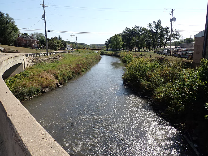
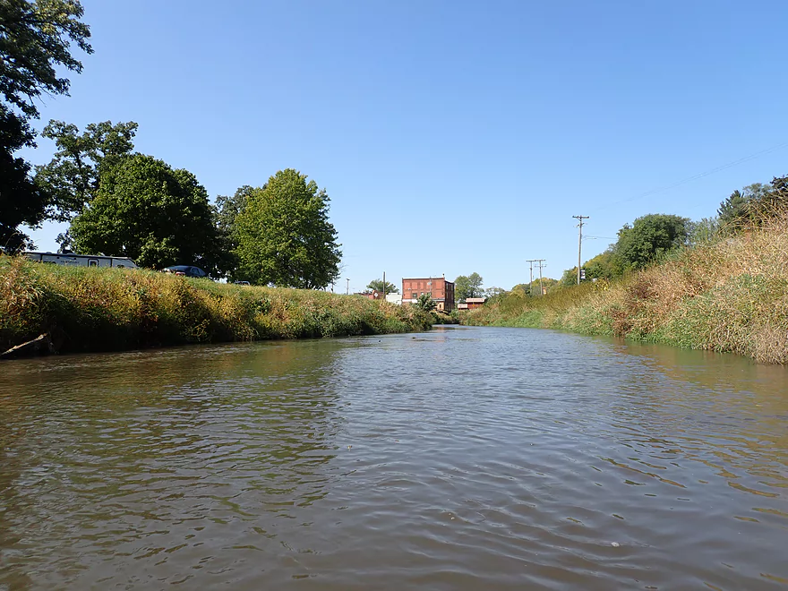
View of downtown Blanchardville
Reverse view
McKellar Park is on the left but didn’t seem like a great put-in option
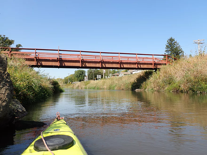
Nice pedestrian bridge
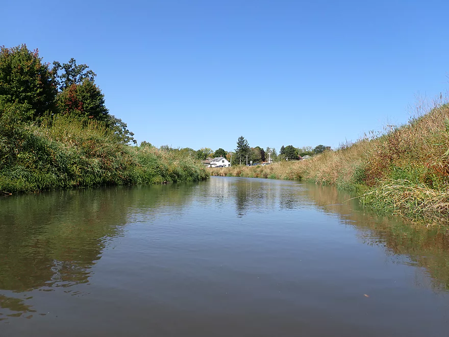
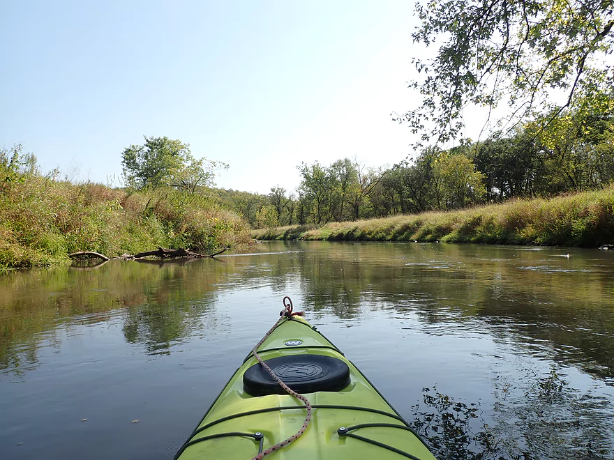
Leaving Blanchardville behind
Good public canoe/kayak ramp by Gordon Creek
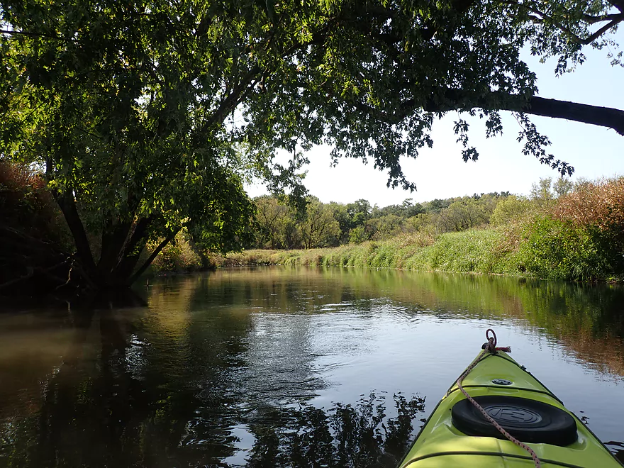
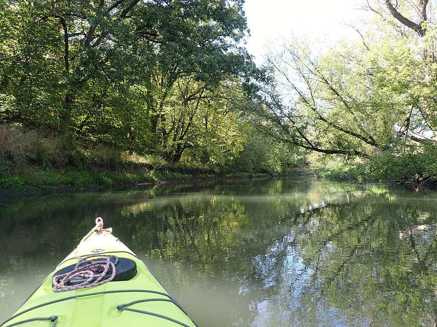
The first mile after town was nice with rocky banks
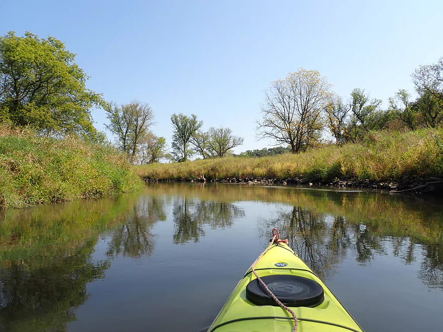
A hint of fall color
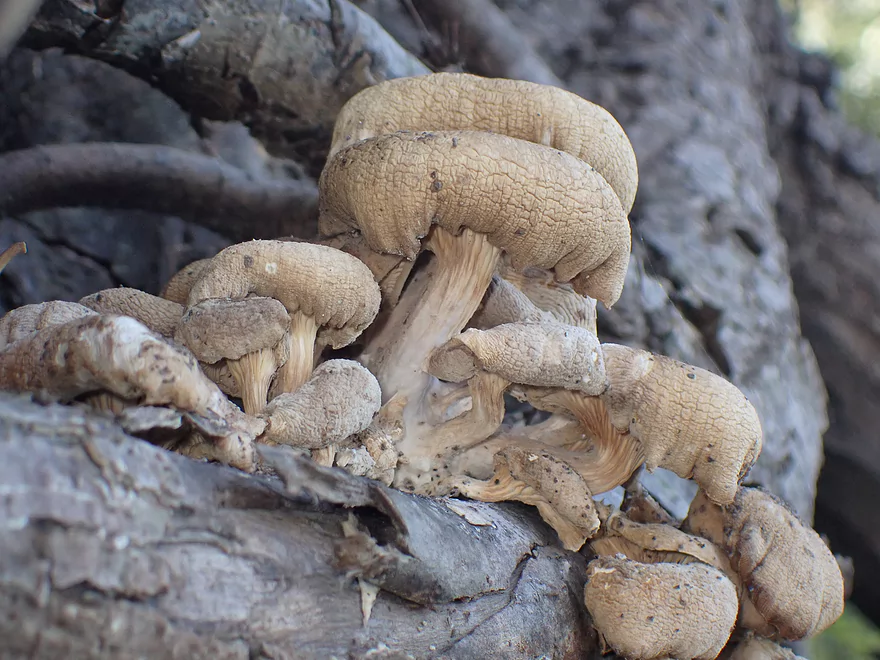
Cool mushrooms
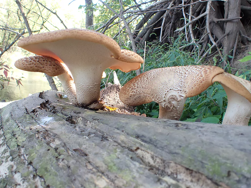
These might be pheasant back mushrooms
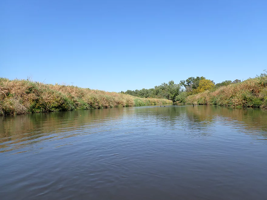
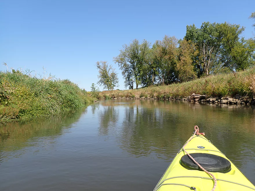
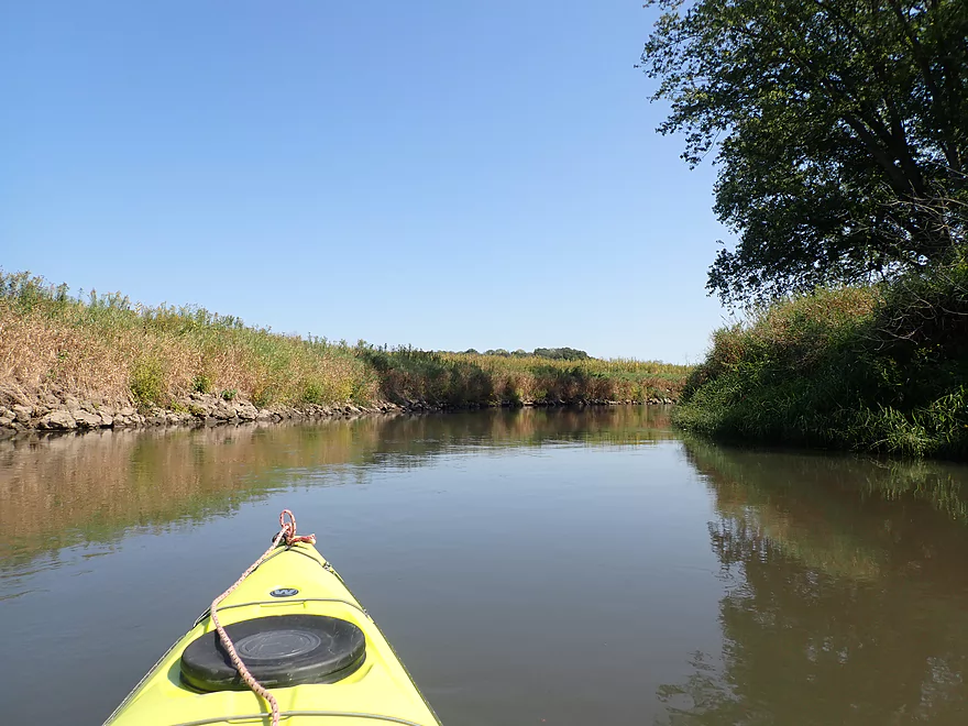
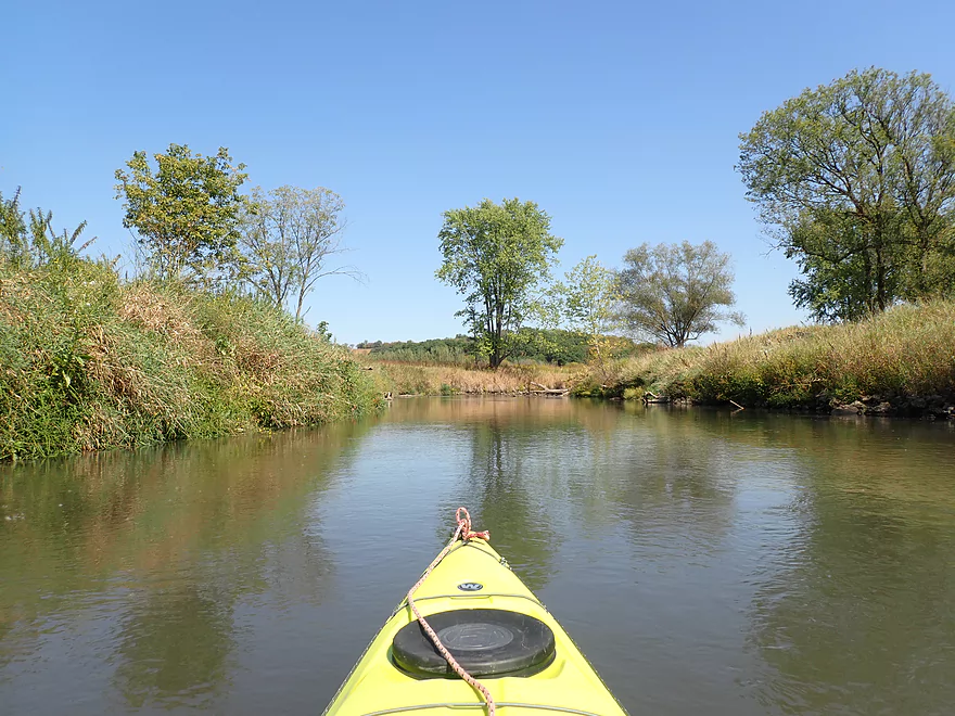
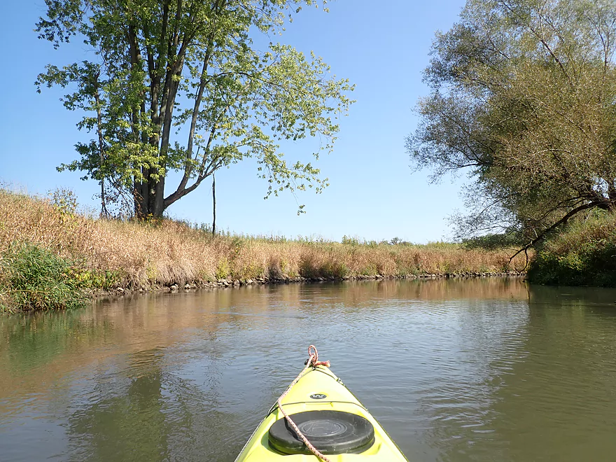
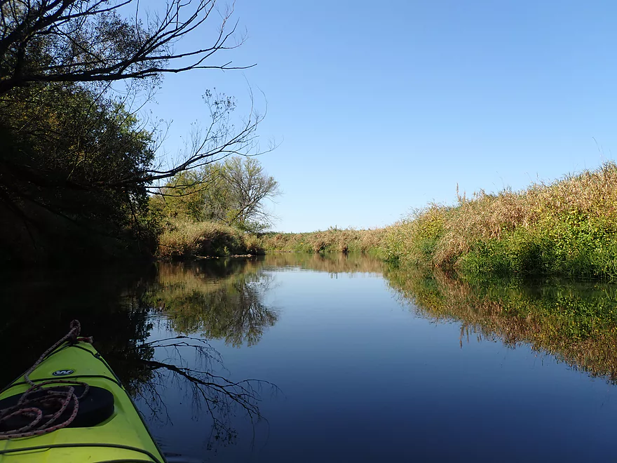
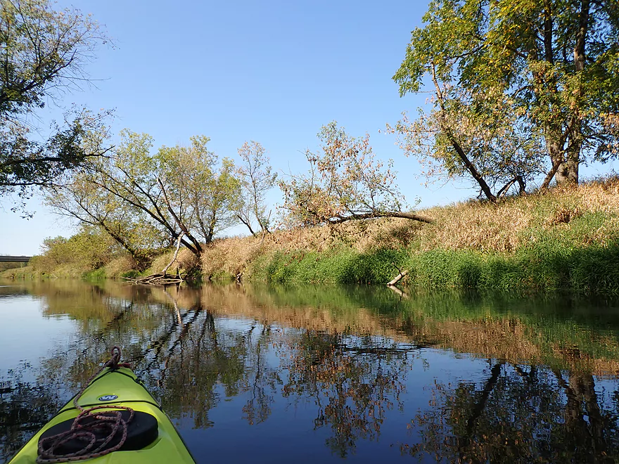
River was broad, open, and slow
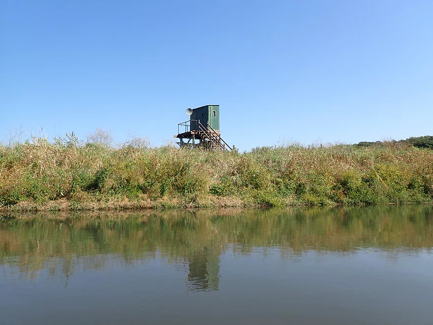
A hunting blind with satellite tv! Can’t miss those Packers…
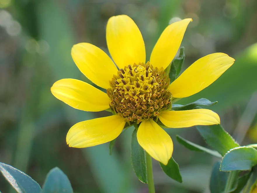
Beggartick
Some nice grass reflections
The only hillside of the trip
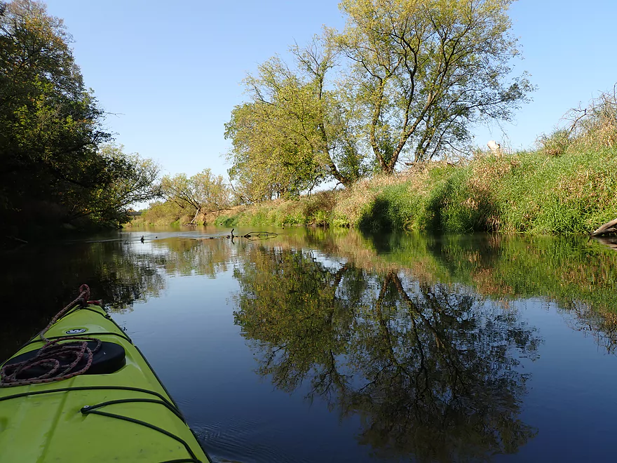
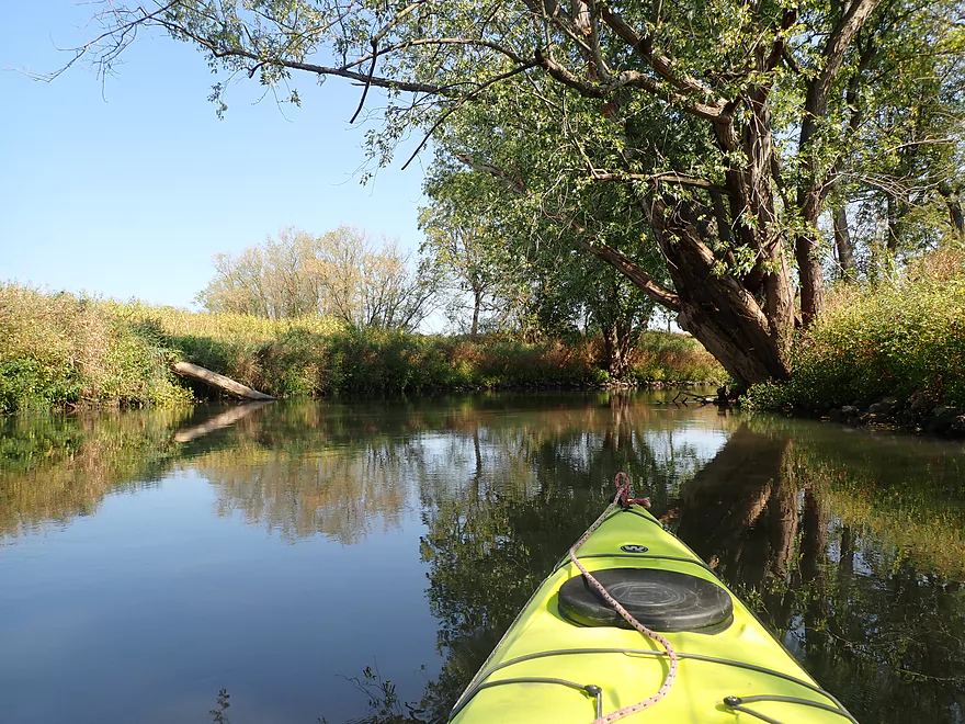
Neat tree reflections
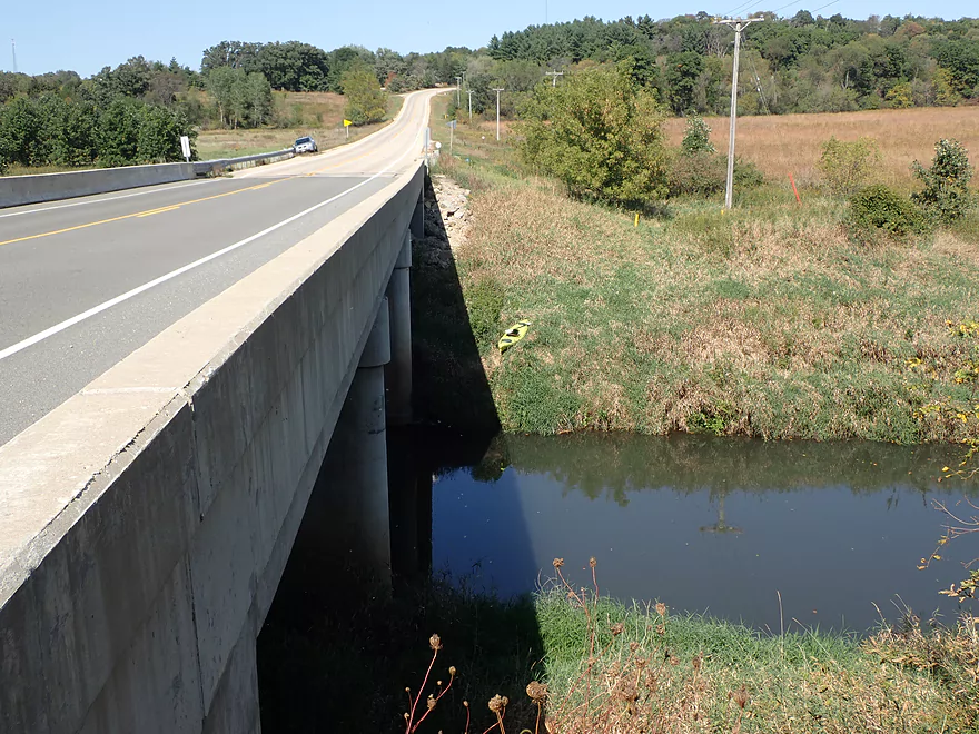
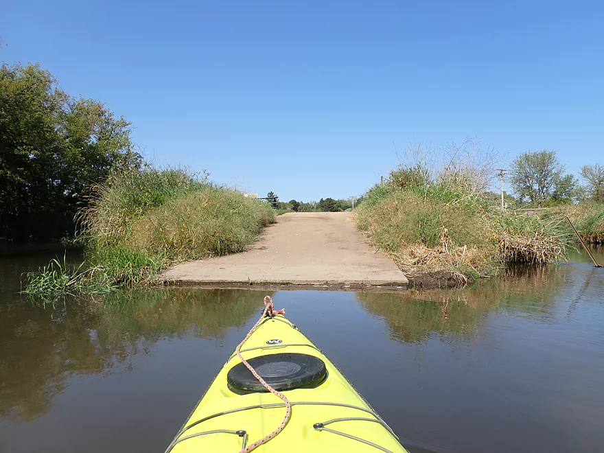
Hwy 78 has a steep embankment, is weedy, and lacks a shallow take-out
Pecatonica River – East Branch – Blanchardville

The Pecatonica River is the largest river in far Southwestern Wisconsin and is split into two main branches. The East Branch is a bit smaller, but much of its length is good for paddling. My favorite parts are its upper stretches. Previous trips (Hollandale, the Dodge Branch, and Gordon Creek) were generally positive experiences. With water levels being a bit low this year, I decided to explore more of the lower stretches, starting with Blanchardville. Fun side fact…Blanchardville was founded by Mormons and was originally called Zarahelma. Personally I like the old name better.
There are actually multiple ways to start a trip in town, but I chose to launch below the dam which was scenic. After getting into the water, I was surprised to encounter Class 1 Rapids, but these didn’t last long and soon the river would slow to a crawl…and remain that way for most of the trip. The outskirts of Blanchardville weren’t bad with the highlight being a nice pedestrian bridge to paddle under. Things in town that day were hopping as a parade was about to start…had I started my trip a bit later, I wouldn’t have been able to park where I did.
I soon passed the Gordon Creek inlet, where a nice public boat ramp is located at the mouth. The much clearer water of Gordon Creek brought back memories of my previous trip, and made for a stark contrast to the turbid Pecatonica. I headed upstream on the creek to the Hwy H bridge where I was quickly dead-ended by a large logjam (which also brought back memories of Gordon Creek).
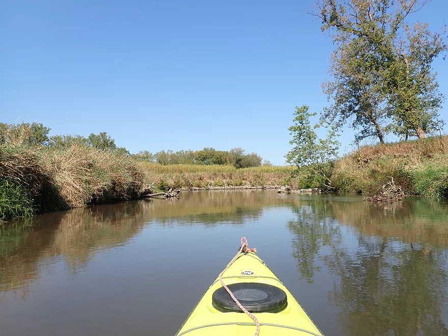
The river for the first mile had a nice open vibe to it. The banks weren’t exclusively cornfields (which is what you would expect) and in some spots there were what looked like original prairie plants. It also appeared artificial bank work had been done to channelize the river. Part of this might have been to help prevent flooding. A few years ago, Blanchardville endured massive flooding that turned the local area into a lake.
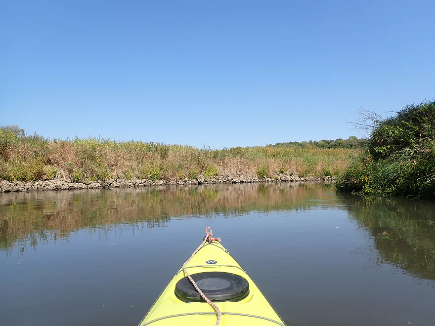
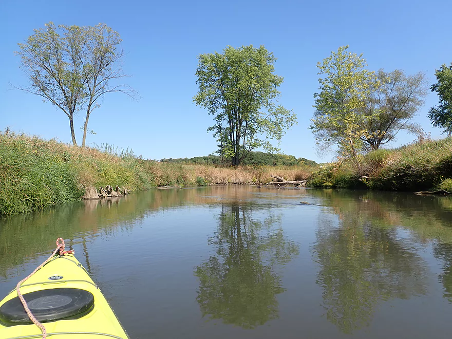
As the river turned south though, the river became much less interesting. Some of the rare highlights included an owl I chased downstream, and some exotic mushrooms that were fun to photograph. That was it for excitement, as the river really lacked defining attributes (rapids, hills, bluffs, outcrops). Granted, it wasn’t bad and I did appreciate that there were no major obstacles or logjams to deal with.
The river made a final turn west, which paralleled the only hill of the trip, but still no outcrops. I ended the trip at Hwy 78, which honestly was a bad bridge access (steep, weedy, & deep water).
In summary this was a ho-hum trip that likely deserved its two star rating. If you’re a local I definitely recommend checking it out, but for everybody else there are better nearby prospects to do. The Hollandale section or the Hwy 78 to River Road section would be recommended trips for first-time East Branchers. Relief maps suggest many outcrops below 78 (where I took out) and that’s likely what I should have paddled instead. A trip for another day…
Sights included a few painted turtles and a muskrat. The highlight was an owl that I was able to get relatively close to.
Blanchardville Dam: There appears to be a semi-public mini-park north of the dam where one could launch. However there are rapids and large boulders along the north bank. What I did instead was launch from the south shore behind the history museum where there is better parking and a nice sandy area under the bridge for launching.
Alternate Put-ins:
- Horseshoe Bend Rd (3.6 miles upstream from the dam). This is an ok bridge access that is frequently used by paddlers. Between here and the dam is a mediocre stretch that isn’t super special.
- Gordon Creek Boat Ramp (0.3 miles downstream from the dam). This is a very good public access. Most paddlers will prefer to launch here instead of by the dam (where I started only for pictures).
Hwy 78: This was a bad bridge access. The banks were steep and weedy, and the channel was deep by the bridge so there wasn’t a great take-out spot. There is an adjacent drive that looks like it would be a better access and I suspect paddlers use it, but there was no evidence that it was public, so I stuck to the main road.
Alternate Take-outs:
- River Road (6.1 miles downstream from Hwy 78). This should be an ok bridge access. This six mile stretch is a good prospect and relief maps suggest many good rock formations.
Bike Shuttle Route – Hwy 78 to Blanchardville Dam: 2.0 miles with 75′ of ascent. This is a short shuttle route, but much of it is up a long hill and next to fast traffic. All in all, not bad though.
Current: The current is generally fairly slow, but may pick up speed when high.
Hazards: None really…there are no logjams, fences, cows or any other problems.
Trip done at 123 CFS per a local gauge at Blanchardville.
- 0-100 CFS: A low depth, but should be fine for paddling.
- 101-200 CFS: An average depth and a good target range.
- 201-300 CFS: Above average, but a decent paddling depth.
- 301-400 CFS: A high depth.
- 401-600 CFS: A very high depth. Current may be pushy in spots.
- 601+ CFS: Maybe too high for enjoyable paddling.
Detailed Overview
- Upstream of Hwy HK: Too many logjams to recommend.
- Hwy HK to Burma Road: 1.3 miles. An ok prospect with perhaps some obstructions.
- Burma Road to Star Valley Road1st: 2.0 miles. An interesting prospect with good scenery and not too many logjams.
- Star Valley Road1st to Hwy 39: 3.1 miles. Good scenery potential but too congested.
- Hwy 39 to Horseshoe Bend Road: 7.6 miles.
- Hwy 39 to McKenna Road: 3.9 miles. A pleasant section with a rock outcrop near the take-out.
- McKenna Road to Horseshoe Bend Road: 3.7 miles. Another pleasant section with a massive rock wall.
- Horseshoe Bend to Blanchardville Dam: 3.6 miles. This is a less interesting section of the East Branch that lacks the river's iconic outcrops. It's not bad though, and may appeal to locals who want to paddle through Blanchardville. But most other kayakers will prefer other stretches of the river.
- Blanchardville Dam to Hwy 78: 3.9 miles.
- Blanchardville Dam to Gordon Creek Landing: 0.3 miles. A short, but pleasant stretch through the outskirts of Blanchardville.
- Gordon Creek Landing to Hwy 78: 3.5 miles. While not bad, this is one of the less interesting stretches.
- Hwy 78 to River Road: 6.4 miles. A pleasant stretch with open scenery, Driftless Area hills, and a handful of rock outcrops. On the downside some parts are a bit boring and open pasture has degraded some of the river.
- River Road to Argyle Boat Launch: 7.4 miles. A good stretch with impressive outcrops.
- River Street in Argyle to Hwy M in Woodford: 9.3 miles.
- Argyle River Street to Blackhawk Memorial Park: 8.3 miles. No outcrops and a lot of farm scenery. Not as nice as previous sections but still decent.
- Blackhawk Memorial Park to Hwy M: 1.0 miles. Section includes a very large island. You must take the east channel to reach the access on M.
- Hwy M to Cisserville Road: 6.4 miles. Probably uninteresting.
- Cisserville Road to Mouth: 2.2 miles. Probably a weak prospect.
- Mouth to Hwy 11: 3.2 miles. A leg on the Pecatonica River (main branch) to reach a take-out.
Trip Map
Overview Map
Video
Photos Size: