
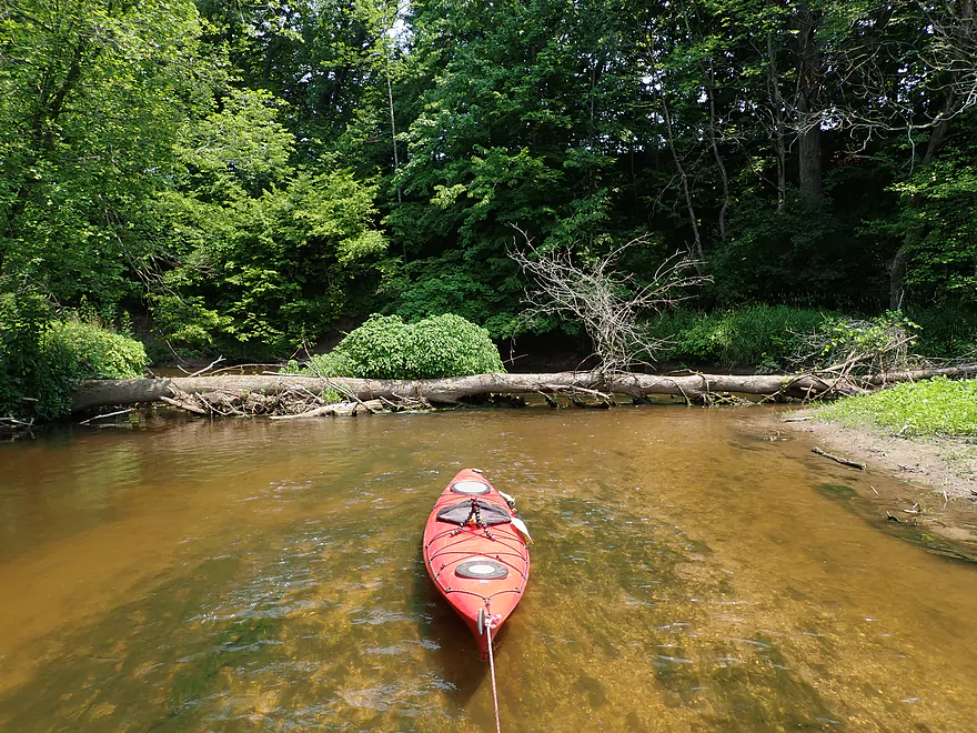
Putting in at Sumac Rd
The eye of Sauron
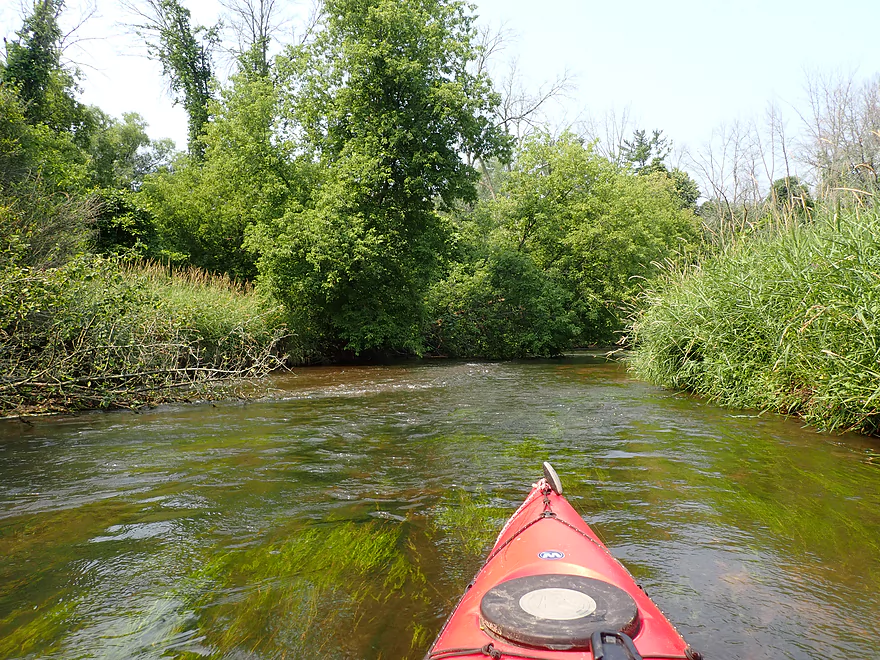
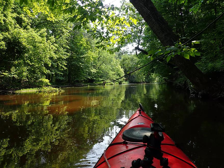
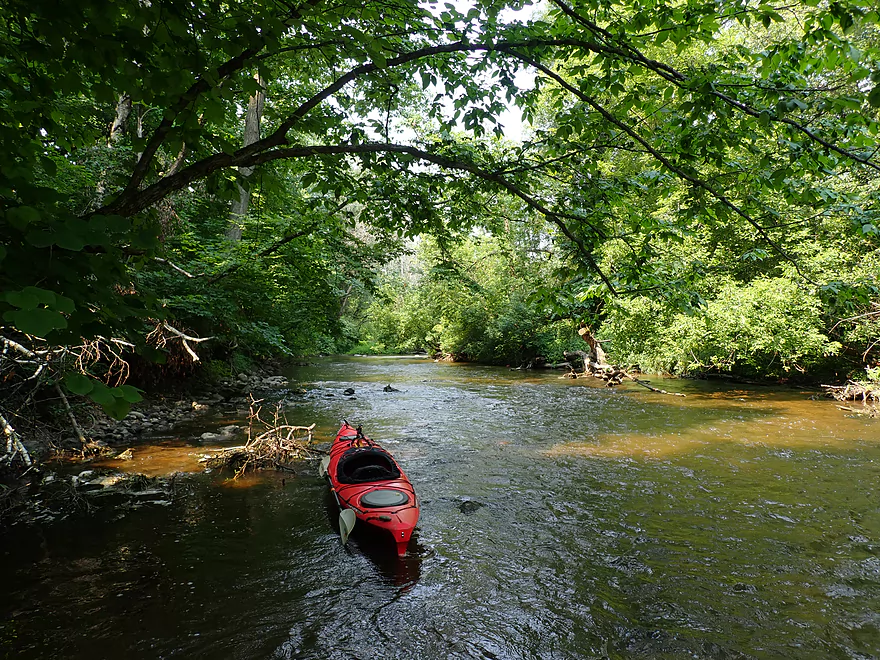
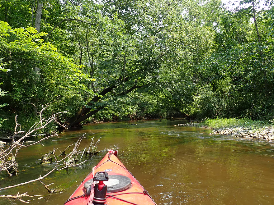
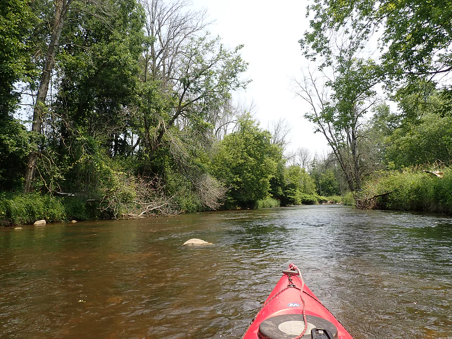
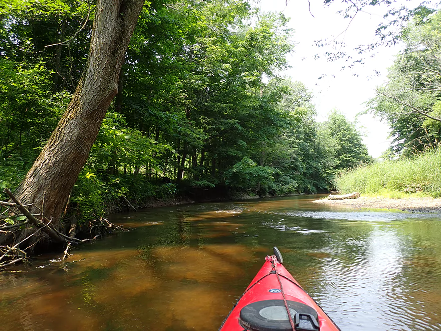
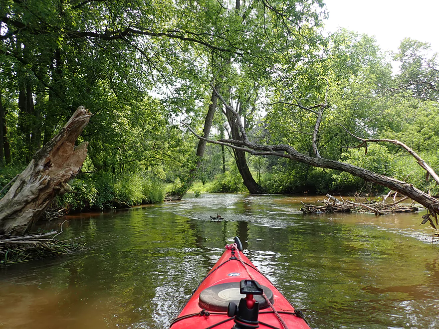
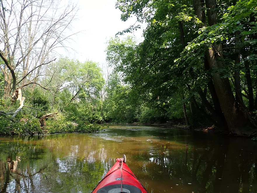
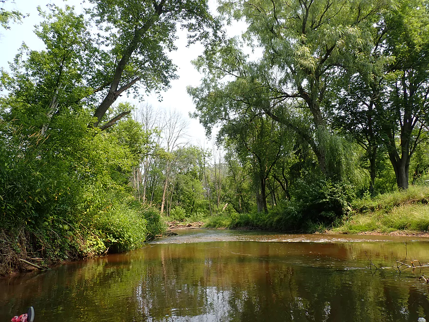
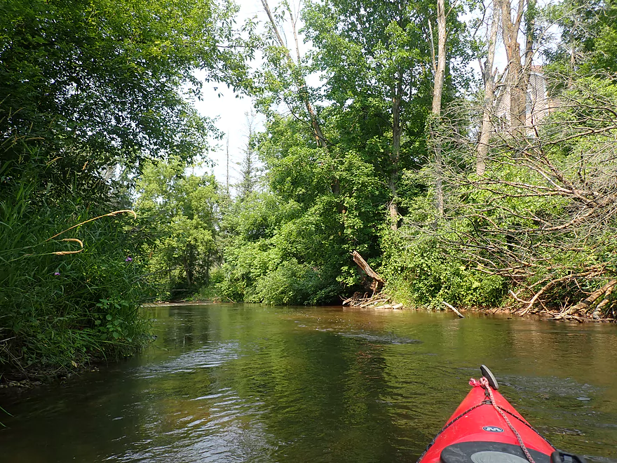
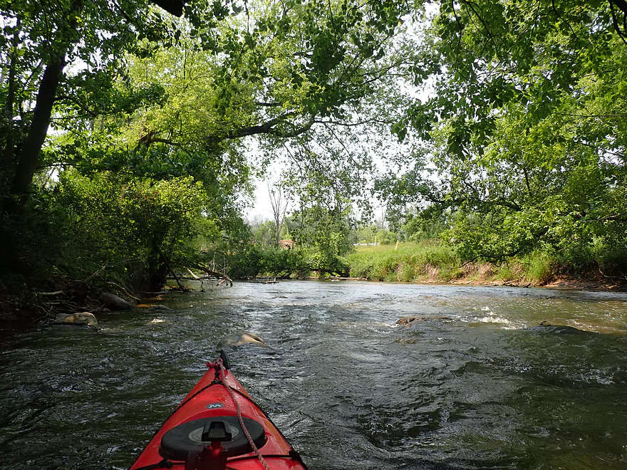
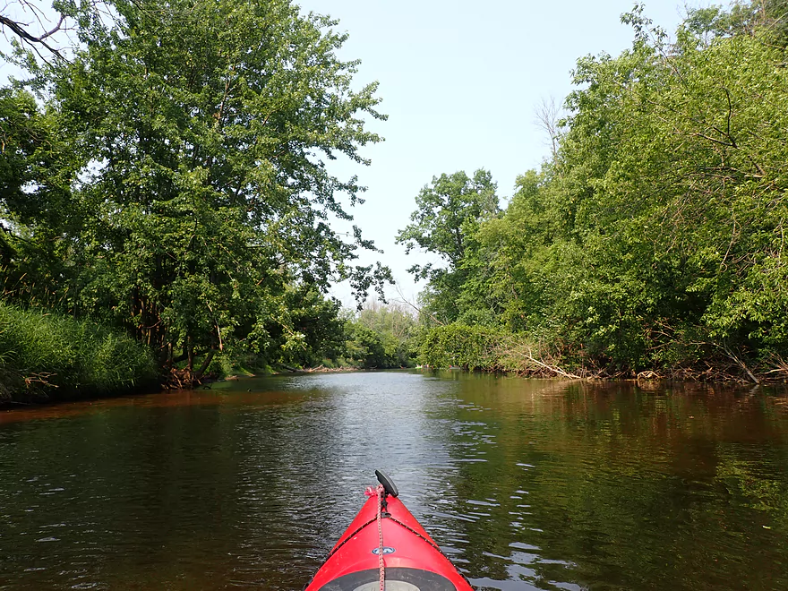
Surprisingly wooded river
Swaying pondweeds
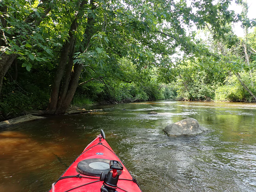
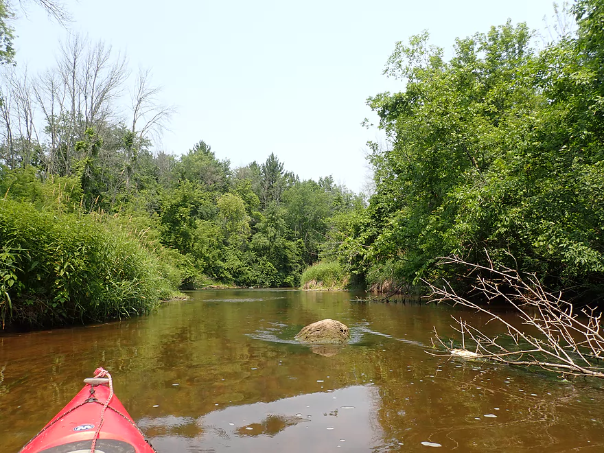
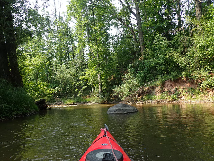
One of many glacial erratics
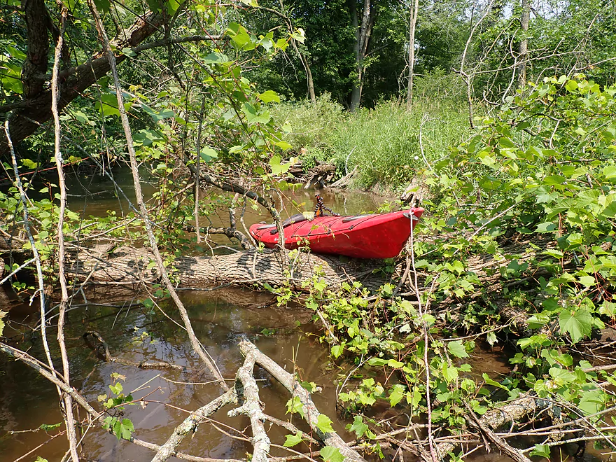
Most fallen logs (to start) were just pushed to the side
1st portage…easy pull-over
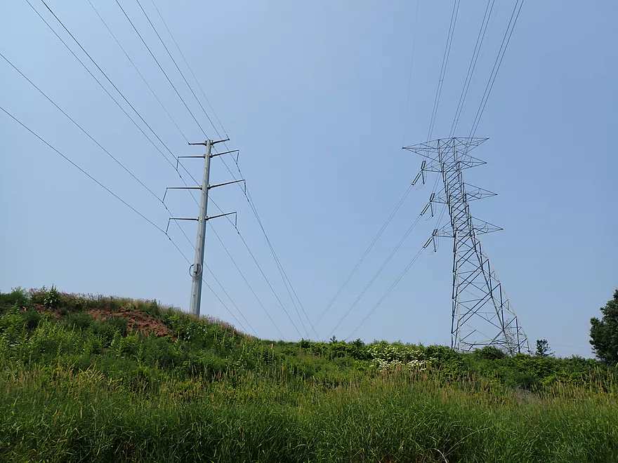
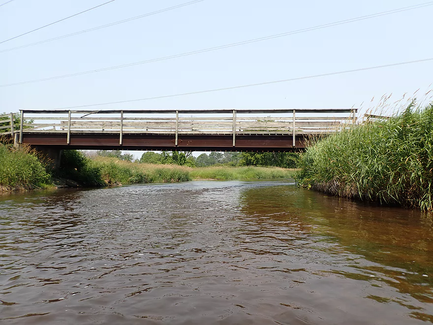
These power lines crackled and buzzed
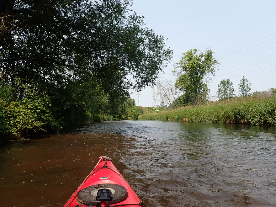
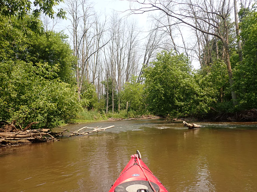
Trip alternated between open and wooded legs
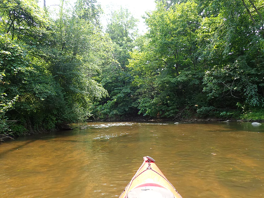
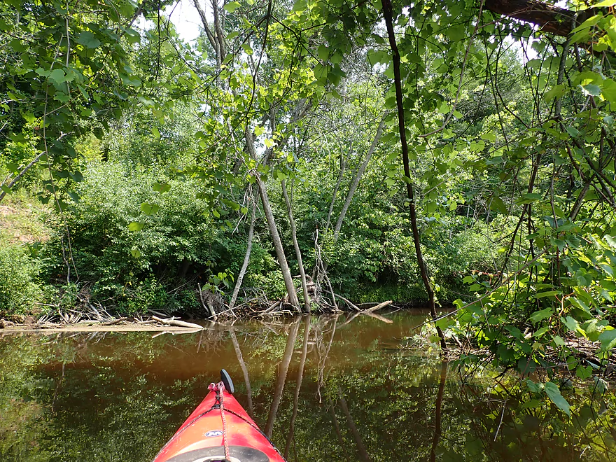
Back in the woods
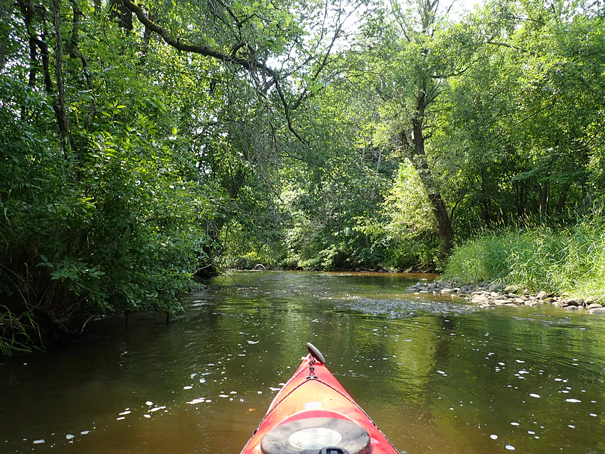
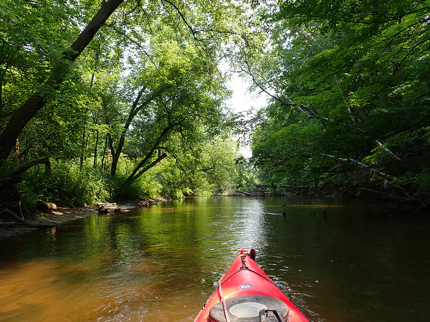
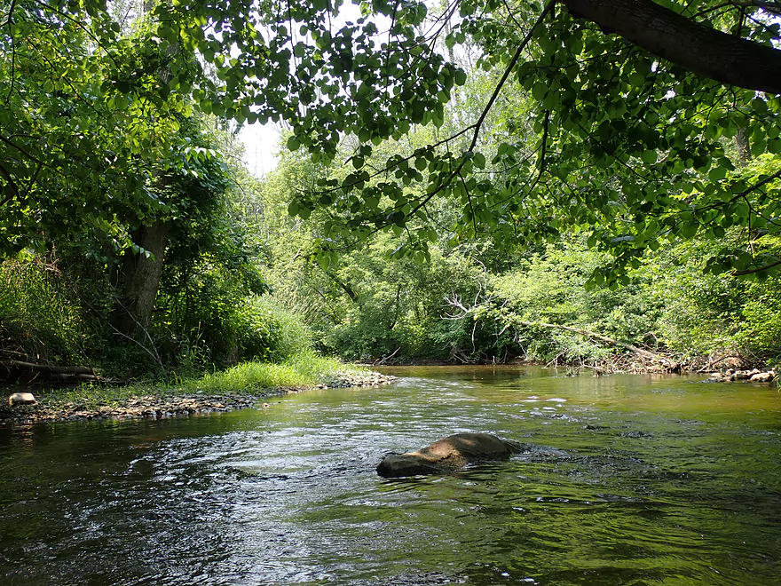
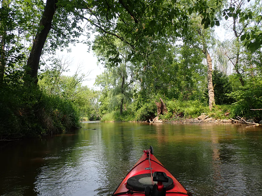
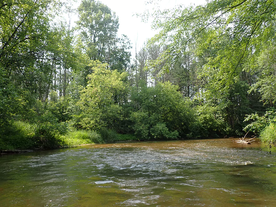
Neat part of the river
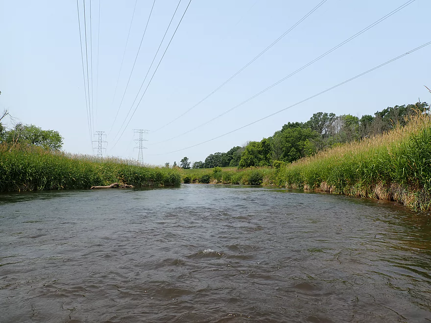
More crackling powerlines
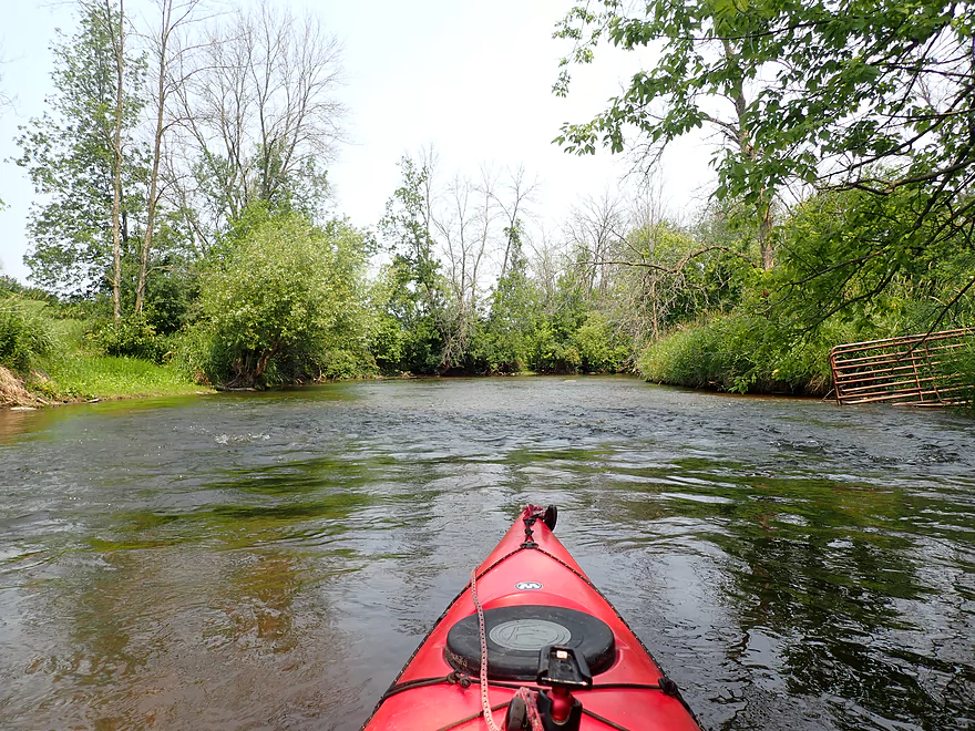
Considerate farmer keeps his cows out of the river
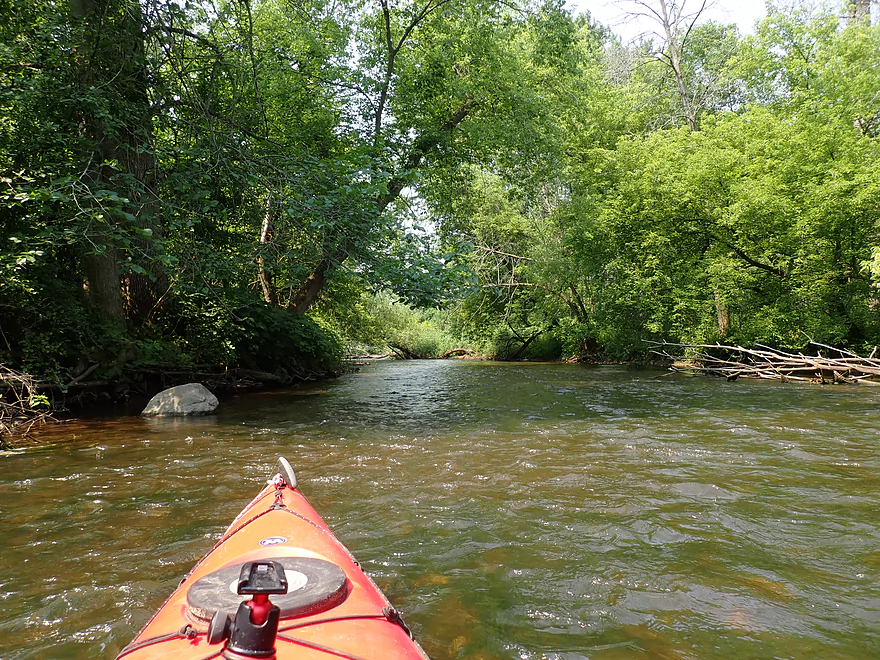
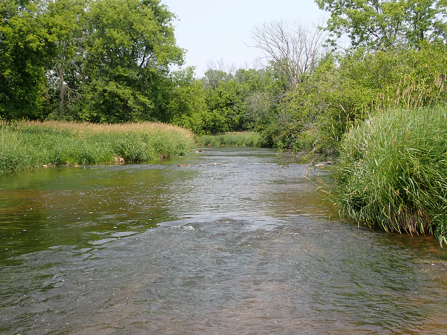
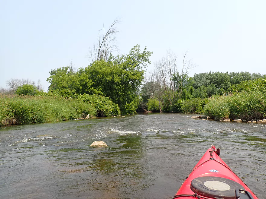
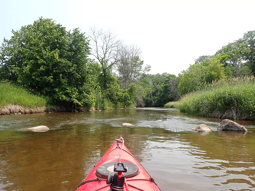
One of several gravel bars
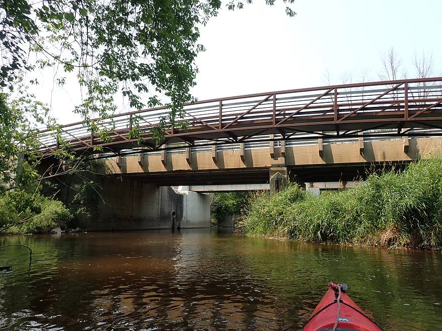
A private farm bridge
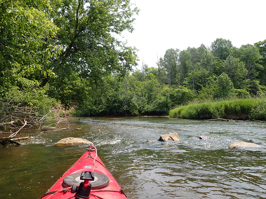
None of the rapids were more than Class 1
This stretch reminded me of the Fond du Lac River
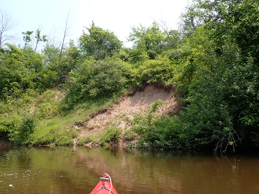
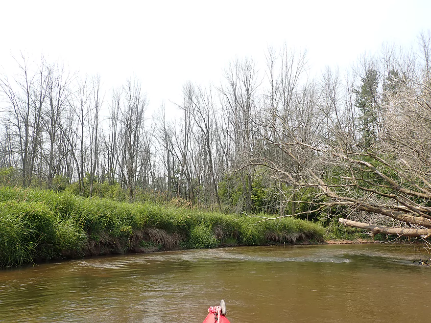
One of several exposed clay banks
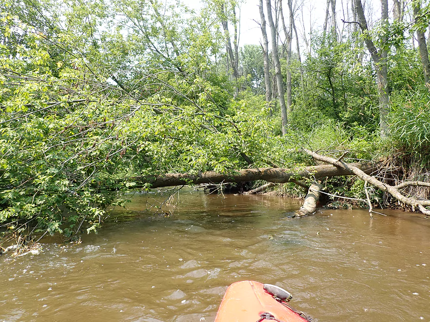
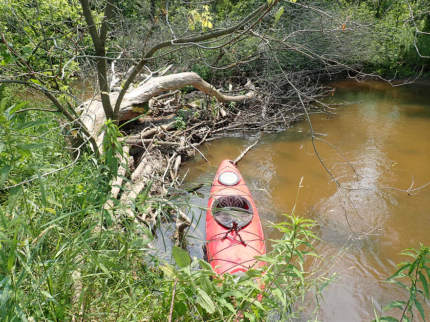
Second logjam portage…pretty easy
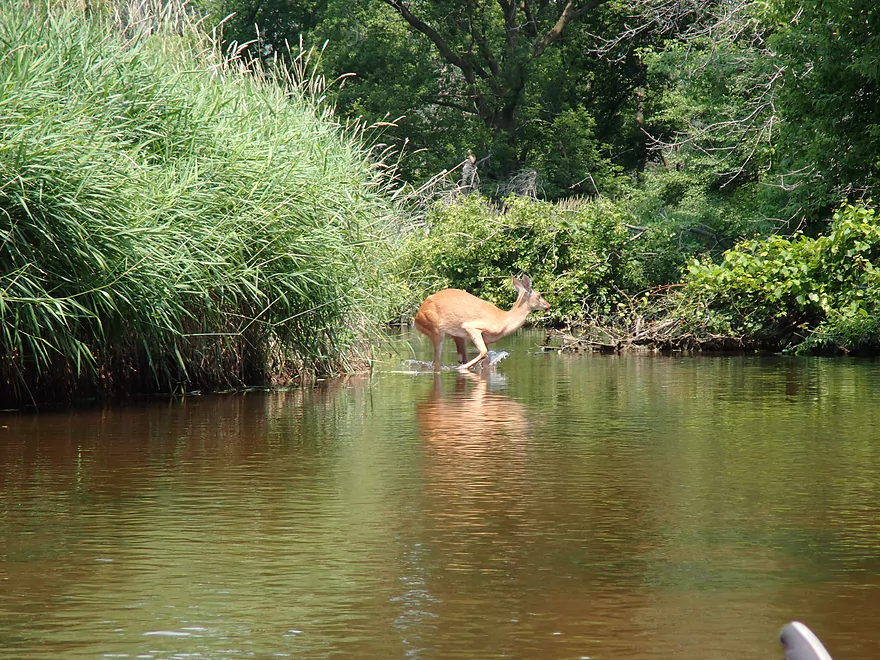
I startled a deer drinking from the river
Part of a boring flowage
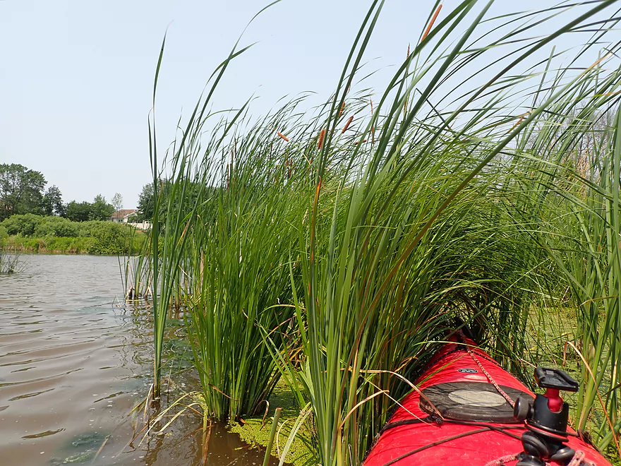
Cattails encroaching on the impounded waters
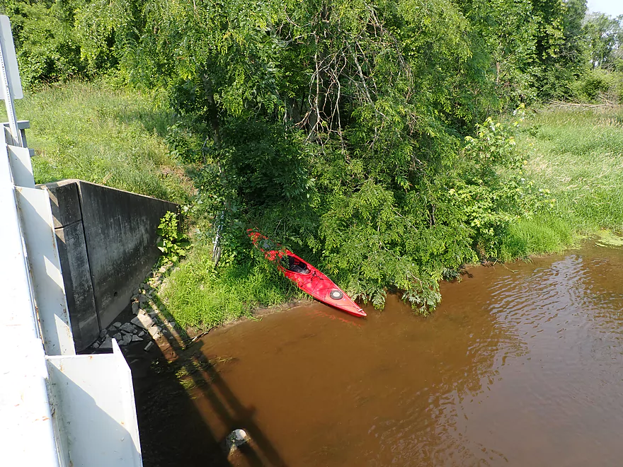
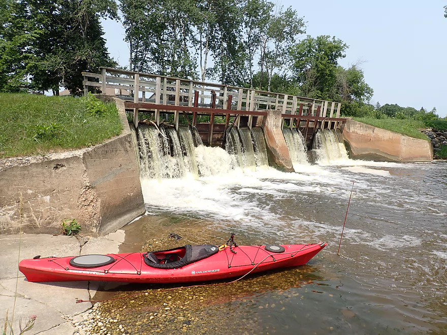
The river was backed up by this dam
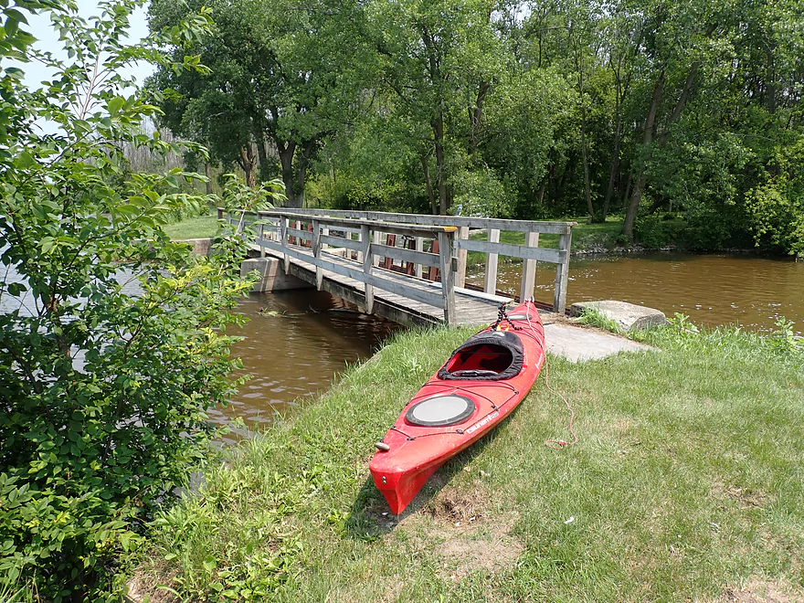
Easy portage
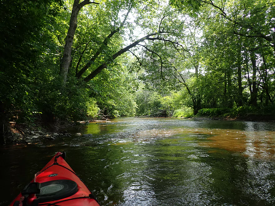
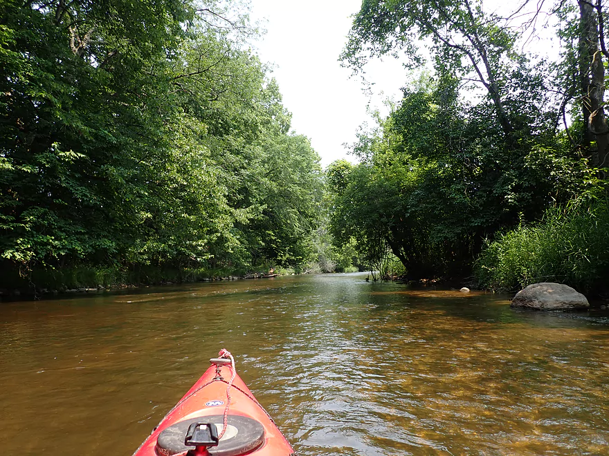
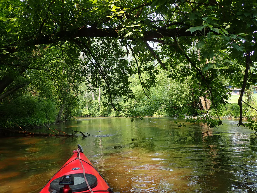
Entering a scenic wooded stretch
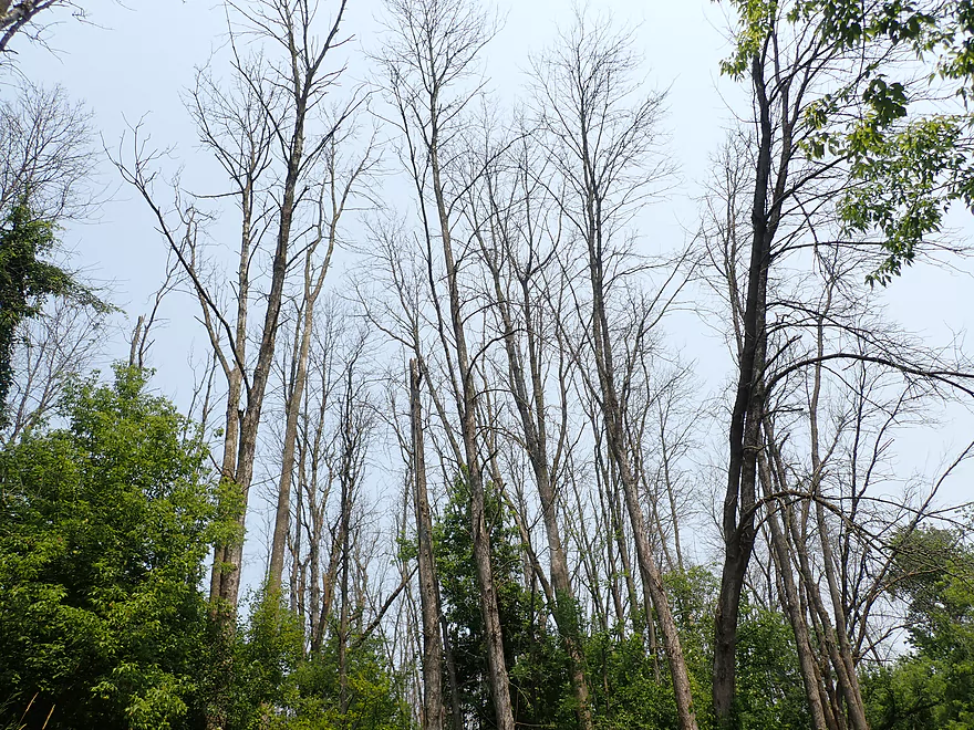
So many dead ash trees
A tight ducker
Huge swaths of dead ash
A tight fit in fast current
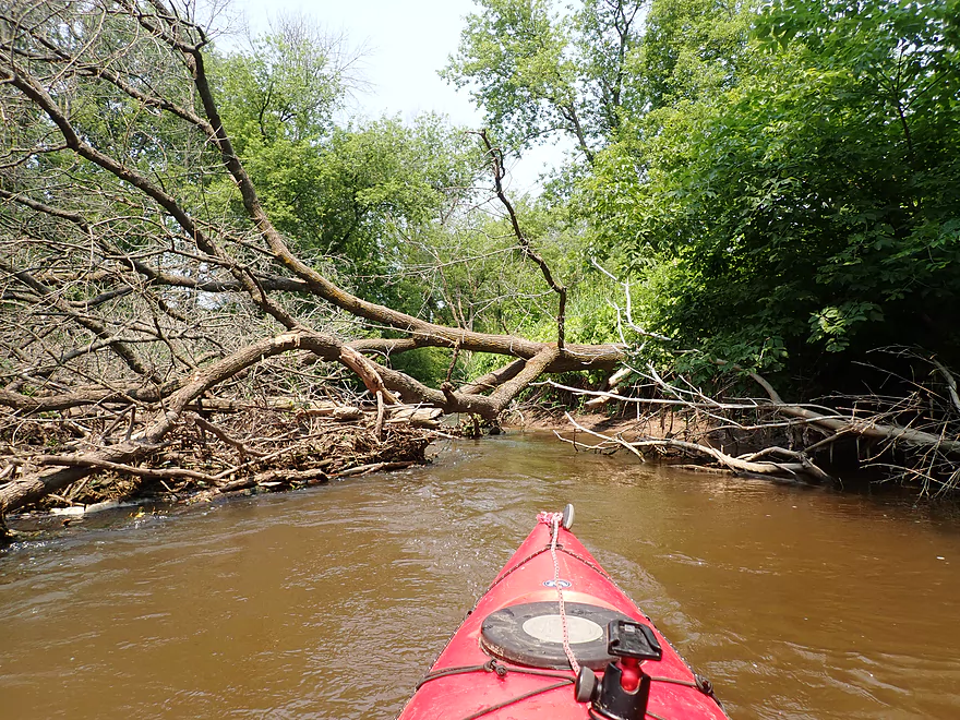
That was soon followed by a major jam that had to be portaged
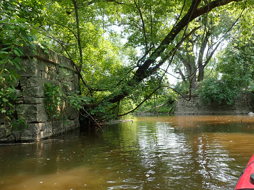
Old bridge abutments
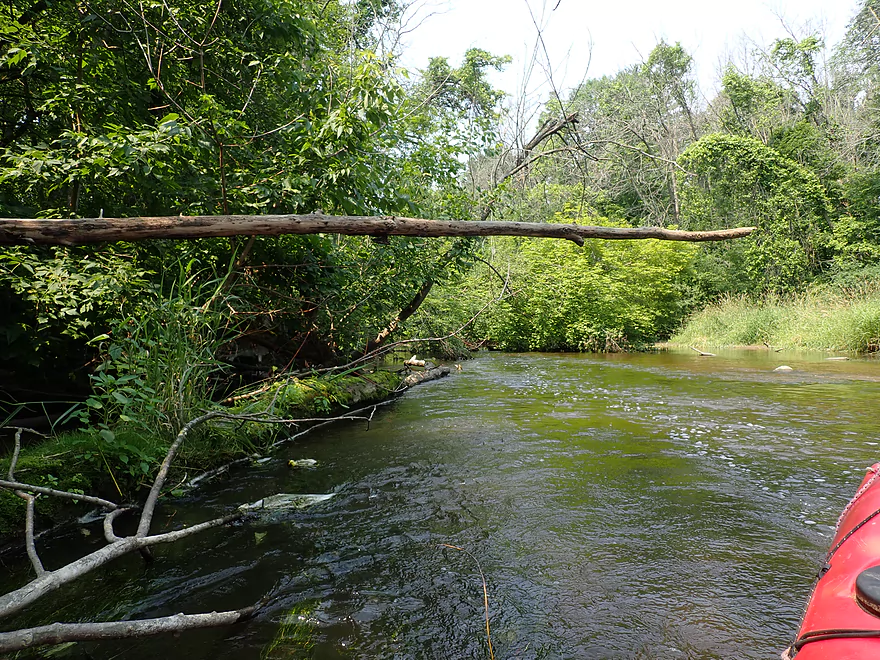
One of countless light riffles
Author Kark took out here (PP) but it didn’t seem like a good access
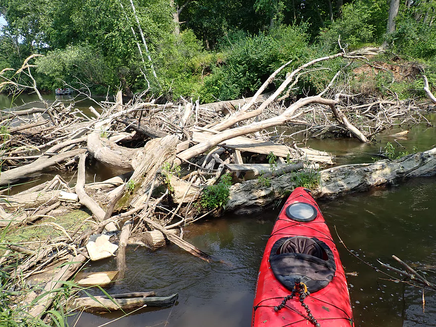
Last logjam portage…wonder if those are all ash trees
Now on the Sheboygan River
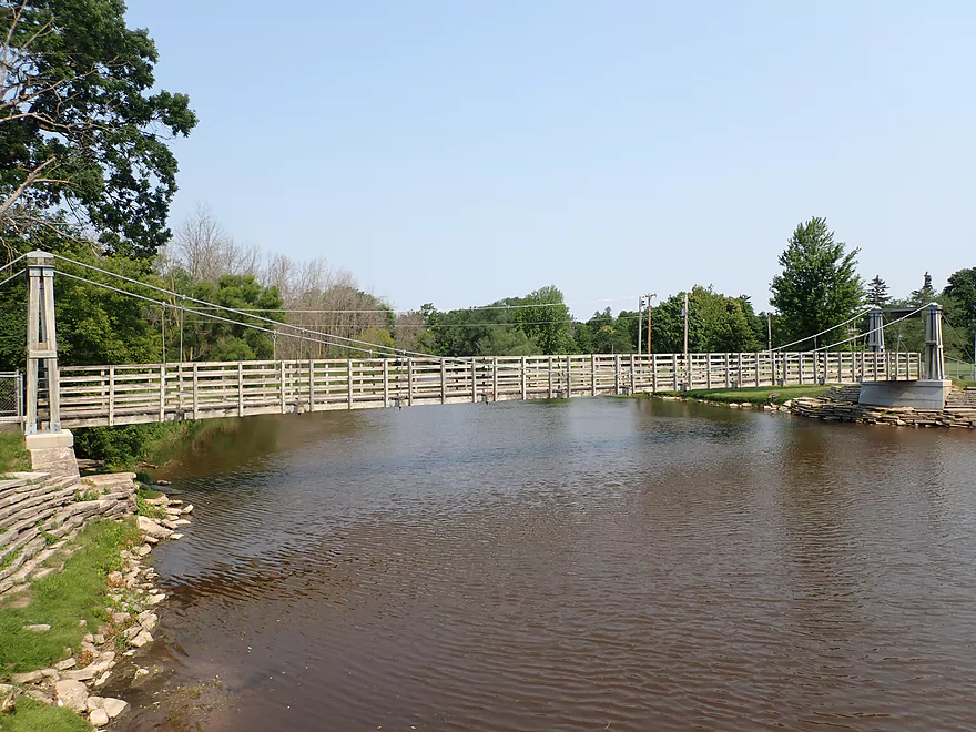
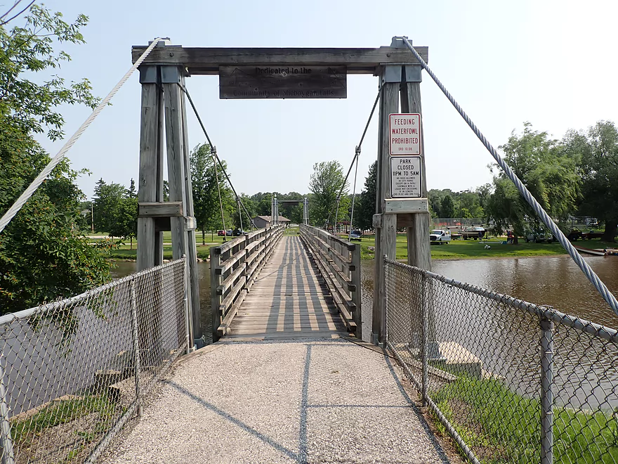
Cool suspension bridge
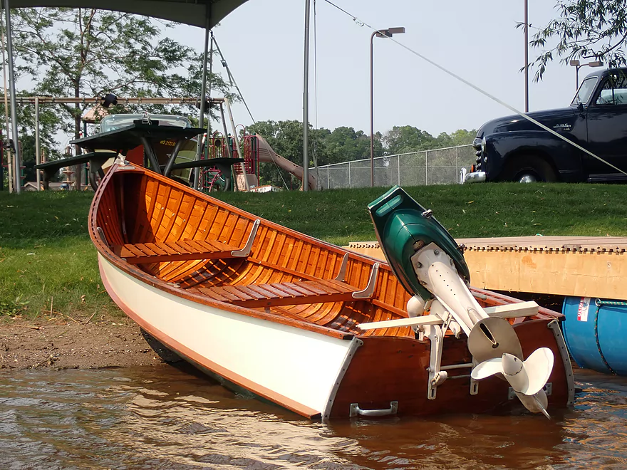
Nice wood boat
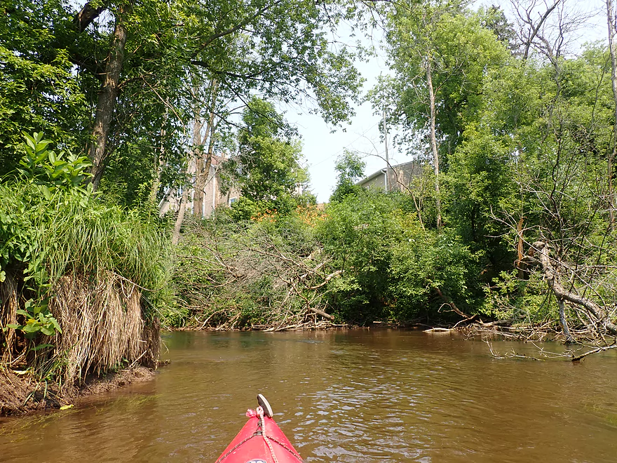
Entering downtown Sheboygan Falls
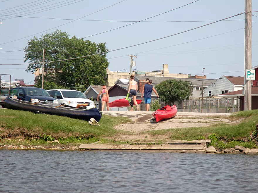
The main take-out
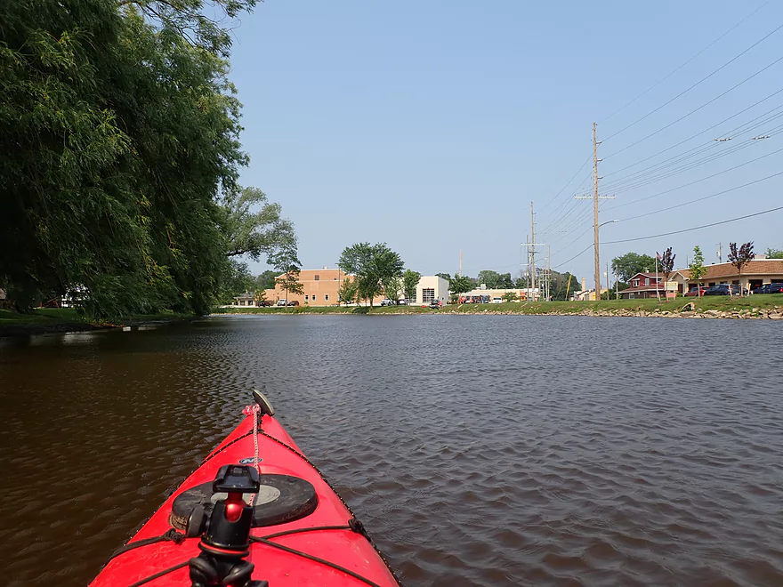
I disembarked a bit downstream for this photo-op
Pleasant bike shuttle back to Sumac Rd
Mullet River


The Mullet River is an obscure tributary to the Sheboygan River located in East Central Wisconsin. Its most scenic stretches are its upper legs (cool sample video), but unfortunately they suffer from logjams. For my first time on the Mullet, I decided to opt for a “safe” leg close to the mouth which was favorably reviewed by paddling author Rick Kark.
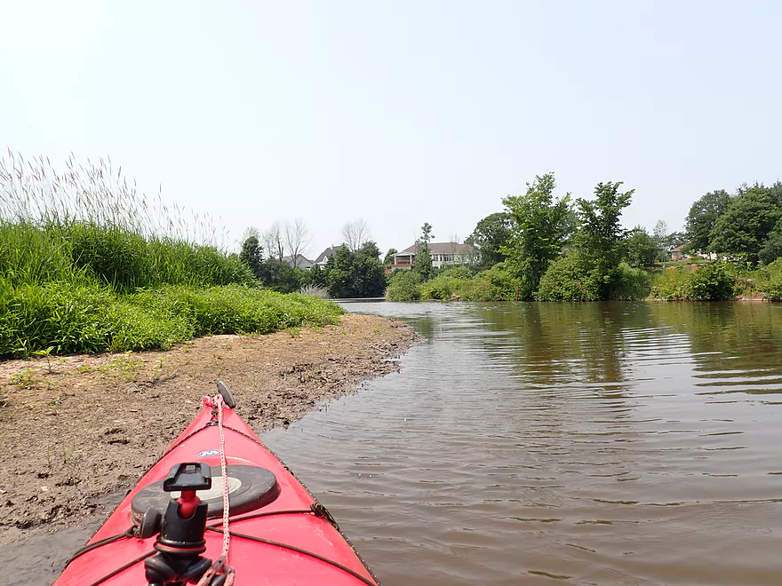
I started my trip upstream of Sheboygan Falls at Sumac Rd. Here the river was shallow and riffly. I was worried the river would be too low (it has no gauge), but outside of a handful of brief ground-outs, it was mostly fine for paddling.
The Mullet alternated between open grassy areas and thick woods which were often quite nice. Large tree canopies enveloped the river and featured a surprising number of maple (this would be an excellent fall paddle). Eastern Sheboygan County has largely been deforested to make way for agriculture, leaving the river corridors as some of the few remaining locations with nice woods.
Water clarity was decent, but not perfect with a little bit of mud. I suspect the Upper Mullet is much cleaner. In multiple locations there were light rapids and small boulder gardens. This very much reminded me of two previous paddles I had done in the area (the Fond du Lac River and the Sheboygan River).
Eventually the river transformed into a one-mile long flowage created by a downstream dam. This was a relatively boring stretch with deep, slow, and muddy water. At the dam there was a small development of houses, and I suspect locals do short “pond paddles” up the flowage.
After an easy dam portage, the river changed dramatically. Here the Mullet was at its fastest, but was also the most congested. Thick woods grew along the banks. The exception were some large “bald spots” which featured large tracts of dead ash trees. I previously thought the Bark River featured the highest concentration of dead ash trees, but I was wrong…there were way more here. This woodland leg was quite scenic and zippy, but did feature two tricky portages and two additional minor logjams. Had the river been high/faster this all could have been much more difficult.
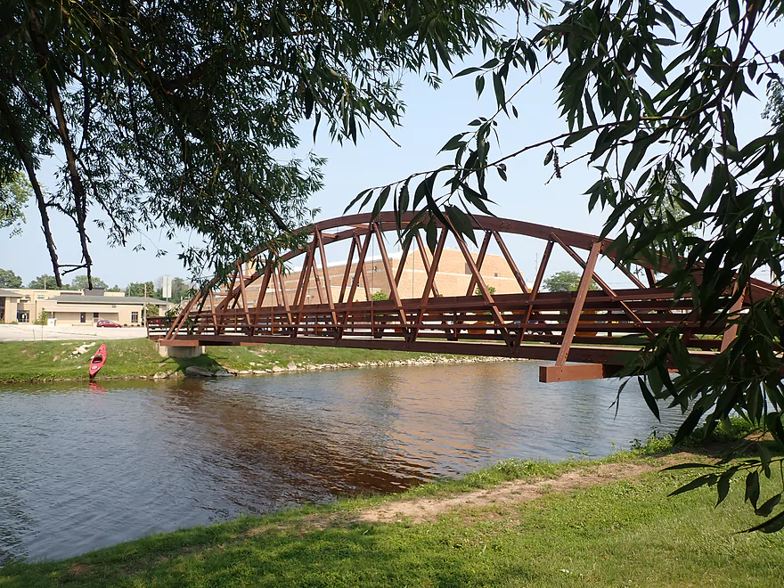
The last logjam marked the entrance to the Sheboygan River. Here I followed another pack of kayakers for a mile until I took out in the heart of Sheboygan Falls at River Park. While I like the Sheboygan River, this particular stretch wasn’t that interesting, as it was impounded by a downstream dam. The slow current and deep channel left it lacking in character. The highlights in Sheboygan Falls were two cool pedestrian bridges that spanned the river. Just a short distance downstream are the famous (and very scenic) ledges and falls that the city is named after.
In summary this was a nice trip that I almost gave four stars, but the four logjam portages were a bit much. The first two (upstream from the dam) were super easy, but the last two close to the mouth on the Sheboygan were a bit unpleasant. I hope locals take an interest in the Mullet River as it has a lot of potential. But somebody does need to clear out its few logjams.
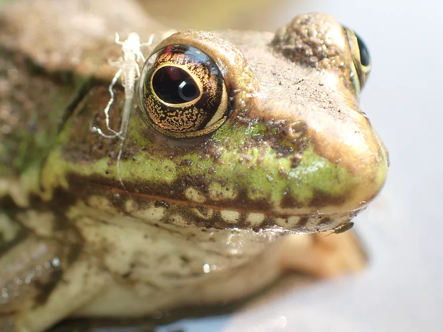
Sights included frogs, blue herons, clams, damselflies, and food-begging redtails. There were a lot of singing songbirds which provided a nice soundtrack for the trip.
Sumac Rd: This was a decent bridge access. East of the bridge is a private residence, so I suggest launching west of the bridge to give both the homeowner and yourself privacy. Parking is a bit tight, but doable.
Alternate Put-ins:
- Hwy M: (0.7 miles upstream of Sumac Rd) Hwy M is a suitable bridge access and this additional leg would be a nice stretch.
River Park in Sheboygan Falls: The main park is west of the river, but the parking lot and canoe ramp are located east of it (across from Corner Studio Jewelers). This is a good public access with free parking.
Alternate Take-outs:
- Cty Rd PP: (1.0 miles upstream from River Park) Rick Kark took out here, but I think the road has since been widened and the new bike lanes prevent shoulder parking. Long story short, this IMO isn’t a viable take-out.
- Settlers Park: (0.4 miles downstream from River Park) The park is located just upstream from a dam which I didn’t scout, so I can’t be 100% certain it’s an ok access.
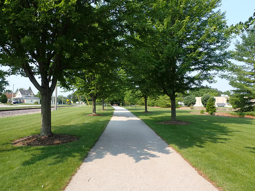
Bike Shuttle – River Park to Sumac Rd: 3.6 miles with 79′ of ascent. This wasn’t a bad bike shuttle. In town you can cut through the park (crossing two cool pedestrian bridges) and also use the bike lanes along the road. Out of town there wasn’t much traffic to worry about.
Dams: There was one dam to portage close to the end of the trip. This was an easy portage (either bank).
Logjams: Most of the troublemakers are located near the end of the trip after the dam. In fact upstream of the dam, the river was really open with only two minor logjams that were easy pullovers. After the dam there were two major logjams plus two squeakers that took some needle threading to get through. Here’s a map with all jam locations marked.
Current: This was a relatively brisk river with countless light riffles, but IMO nothing more serious than Class 1.
Nearest Gauge – Sheboygan River @ Sheboygan: Trip done at 197 CFS or 2.39′
The Mullet River doesn’t have a gauge, so I’m referencing the downstream Sheboygan gauge. This is problematic as the Sheboygan is much larger watershed that takes much longer to wind down after a big rain. So my depth estimates may not be accurate.
- 0-100 CFS: Maybe too low.
- 101-150 CFS: A very low depth, but might be navigable for flat bottom boats and for those willing to do some brief wading.
- 151-300 CFS: A decent target range. Outside of a handful of short “ground-outs”, the river should be fine for paddling.
- 301-400 CFS: A good target range with likely no ground-outs.
- 401-550 CFS: River is above normal and a bit more muddy.
- 551-750 CFS: River is high and pushy. Some of the strainers could be difficult to get past.
- 751+ CFS: Likely only suitable for expert paddlers.
- Camp Evelyn to Woodland Dr: 2.5 miles. A video featuring terrific scenery of (I believe) this stretch can be seen here.
- Camp Evelyn to Hwy C/J: 0.8 miles. Camp Evelyn is private and requires permission to use. The creek here is small, congested, and heavily wooded…but super scenic with nice hemlocks.
- Hwy C/J to Hwy J: 0.5 miles. Wooded, narrow, fast current, some obstacles and logjams, but very scenic.
- Hwy J to Woodland Rd: 1.2 miles. Rocky with likely several logjams, but much more open than previous legs.
- Woodland Rd to Riverview Rd: 1.1 miles. Maybe 4 logjams. Looks rocky and shallow, but nice.
- Riverview Rd to Riverview Middle School: 1.5 miles. Maybe 2 logjams with some flowage paddling.
- Riverview Middle School to Plymouth Dam/Veterans Park: 0.6 miles. An uninteresting flowage paddle.
- Veterans Park to Hwy 67: 1.5 miles. Likely a nice section through downtown Plymouth.
- Hwy 67 to Short Cut Rd: 0.6 miles. Likely a difficult section because of the fast current, narrow channel width and multiple logjams.
- Short Cut Rd to Blueberry Ln: 1.6 miles. Likely several logjams in fast current. Maybe tricky.
- Blueberry Ln to Pleasant View Rd: 1.0 miles. Much more open stretch. Per Mary this was open as of 2020.
- Pleasant View Rd to Willow Rd: 2.4 miles. A solid leg. Per Mary, this was open as of 2020.
- Willow Rd to Hwy M: 3.3 miles. A relatively open stretch. Maybe 1 logjam..
- Hwy M to Sumac Rd: 0.7 miles. Good prospect. Maybe logjam free.
- Sumac Rd to River Park: 7.3 miles. A nice trip, but there are ~6 noteworthy logjams to deal with (mostly after the dam).
Trip Map
Overview Map
Video
Photos Size: