
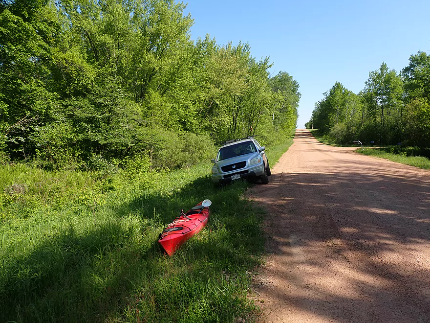
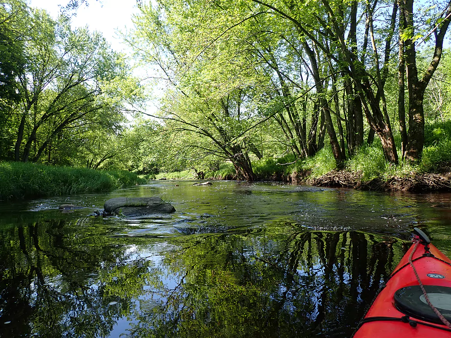
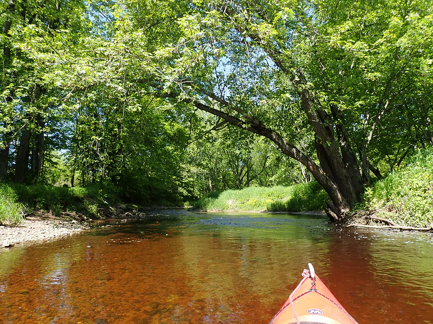
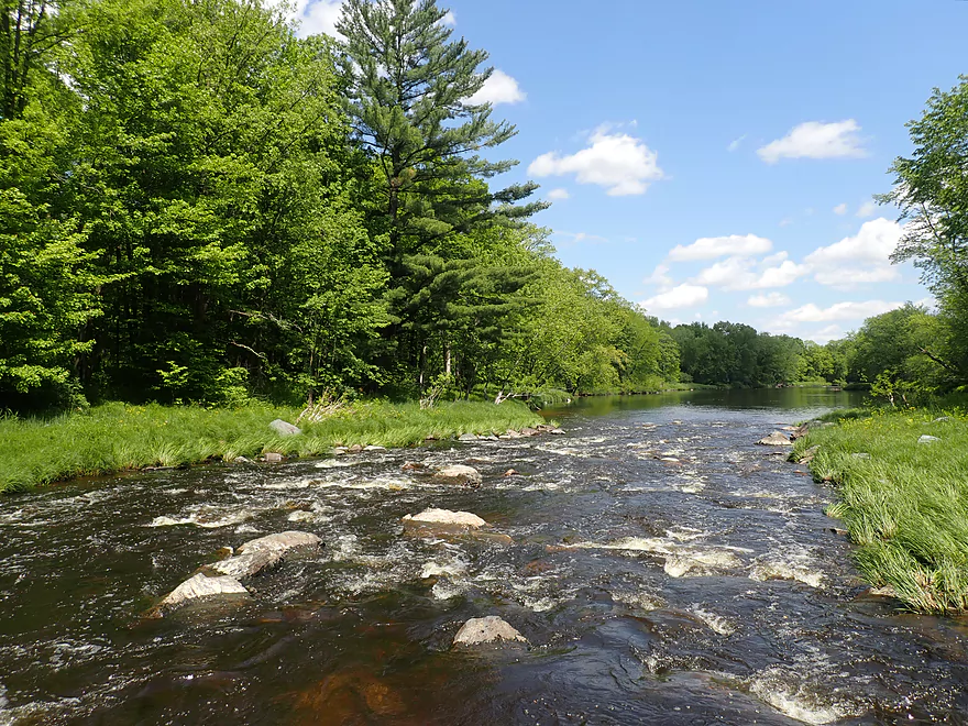
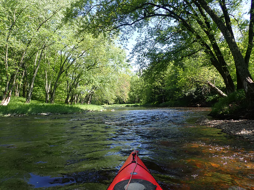
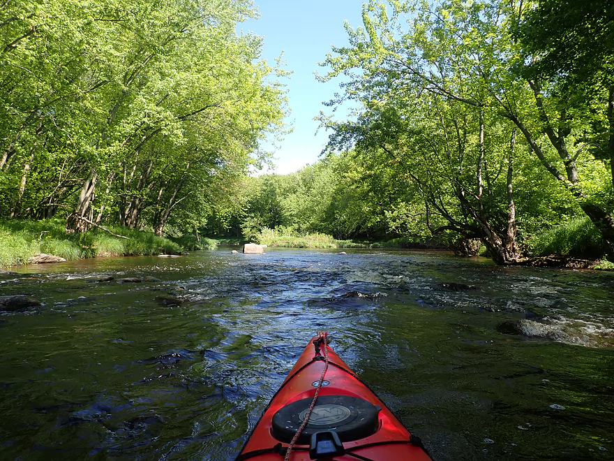
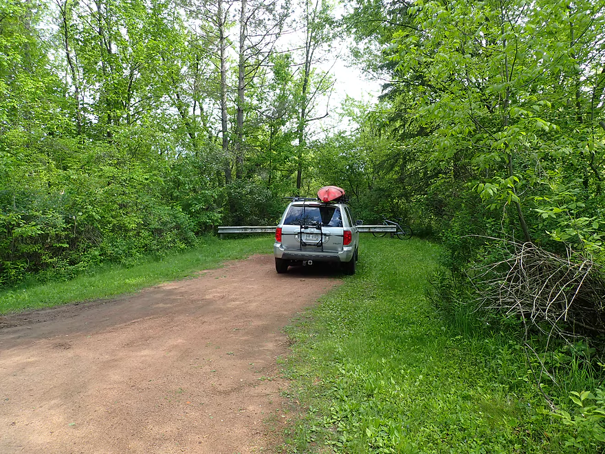
Starting the trip at Hazelnut Rd
Poison ivy is an issue here
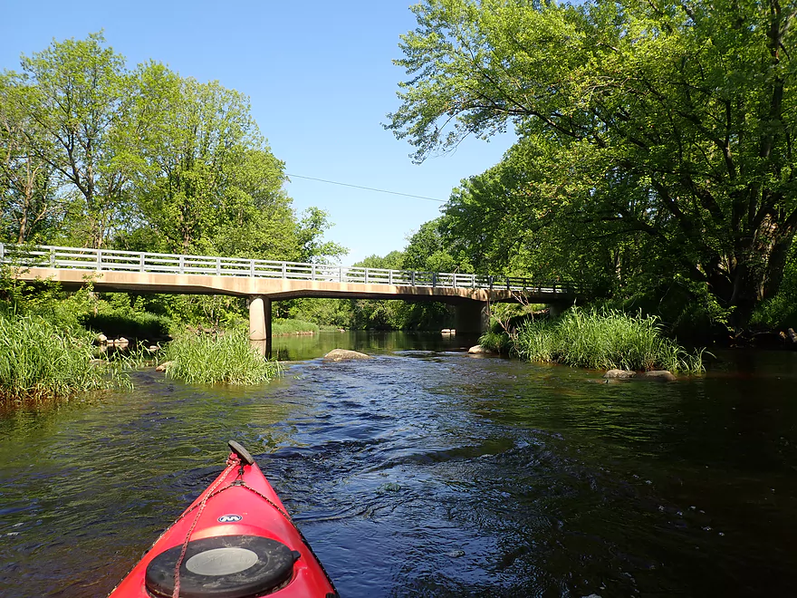
Reverse view of bridge
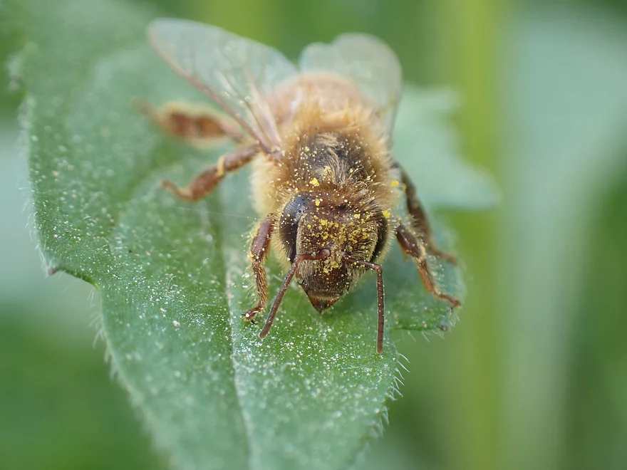
One dirty bee
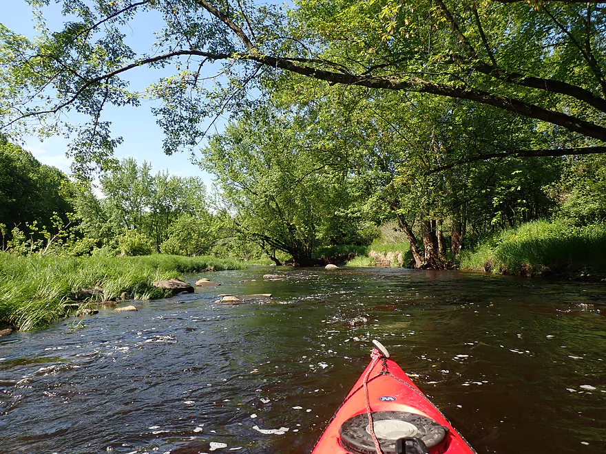
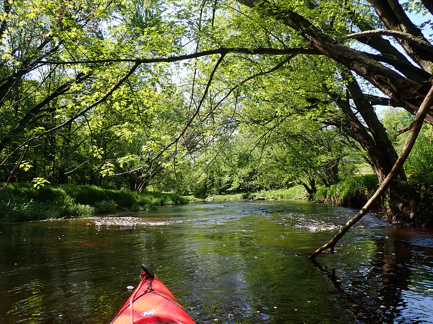
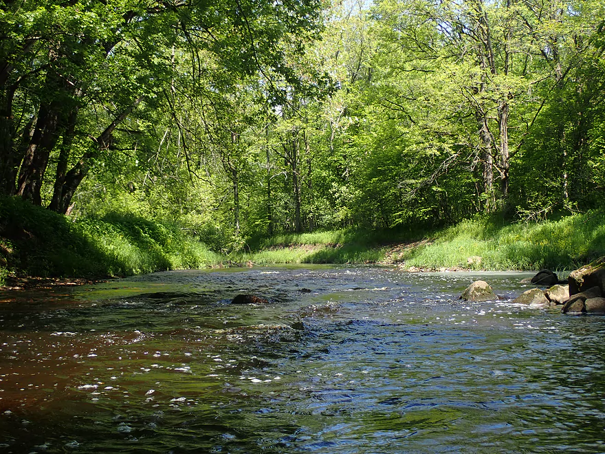
One of countless light riffles
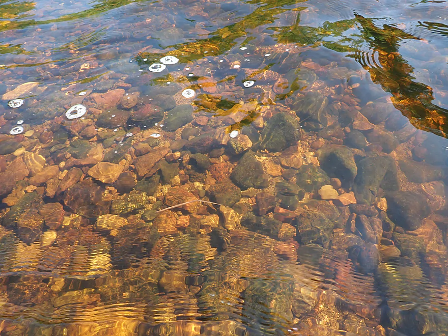
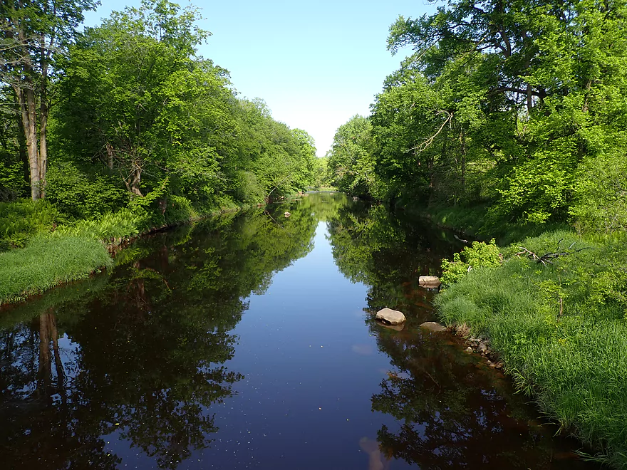
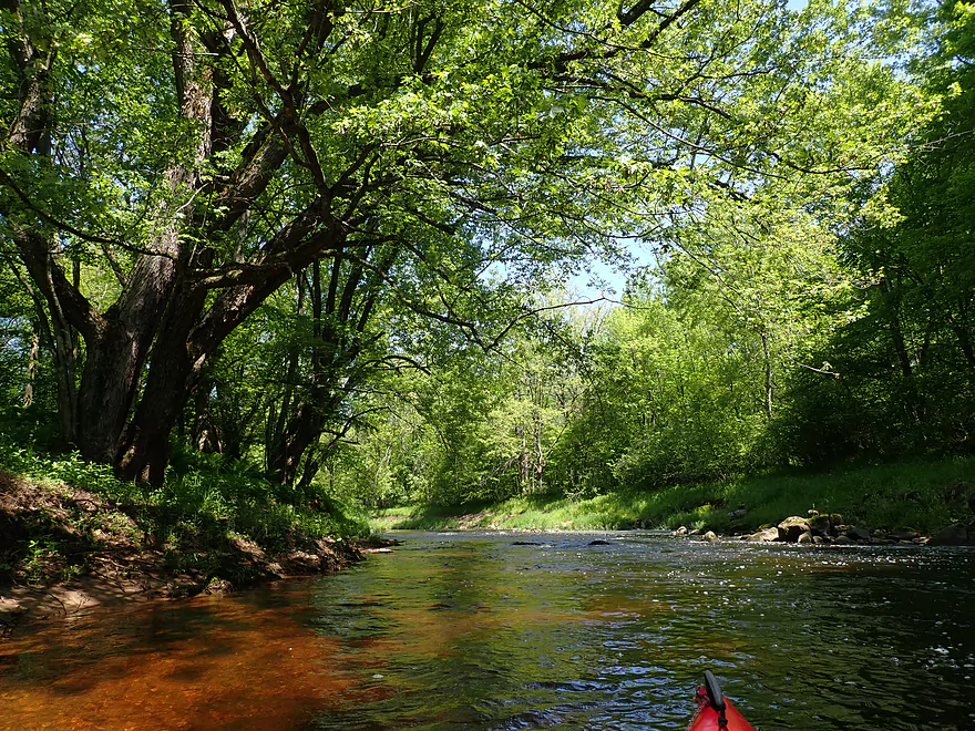
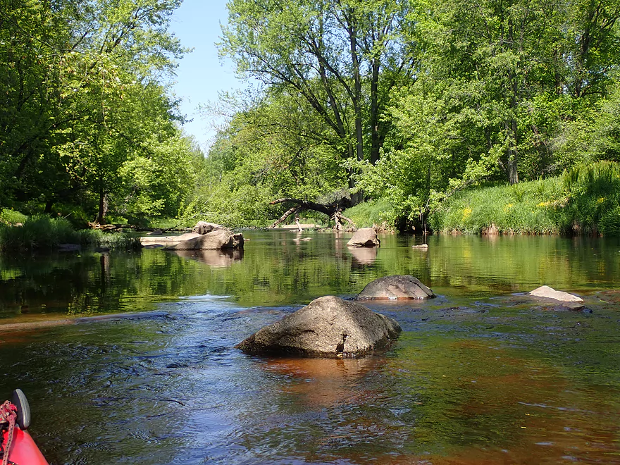
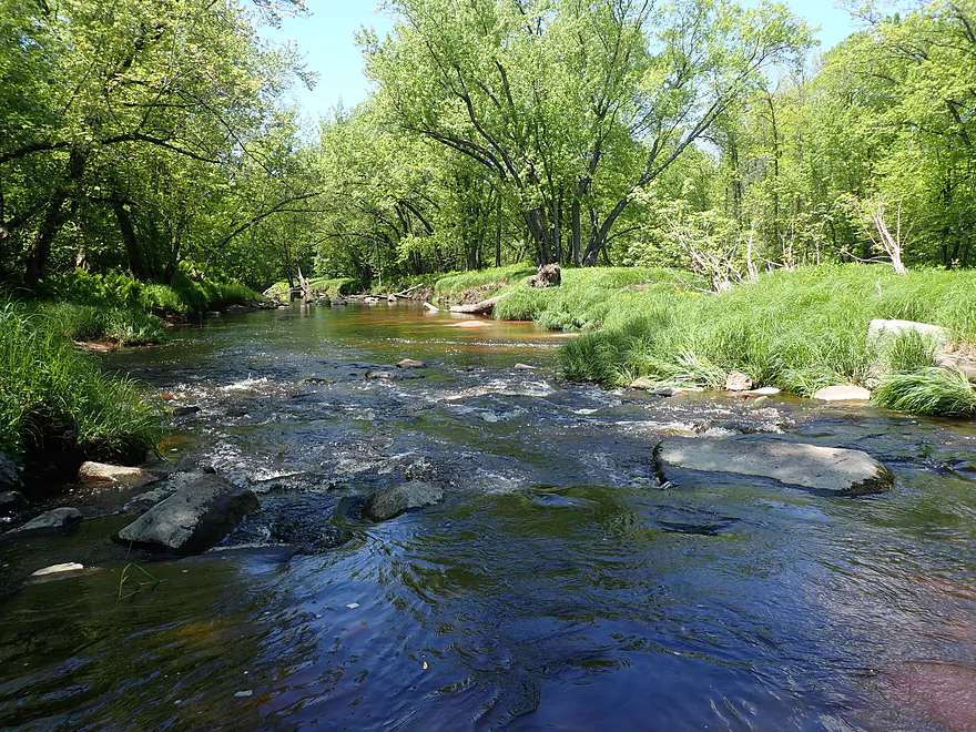
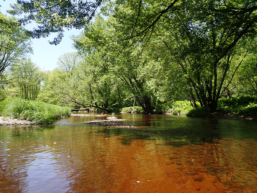
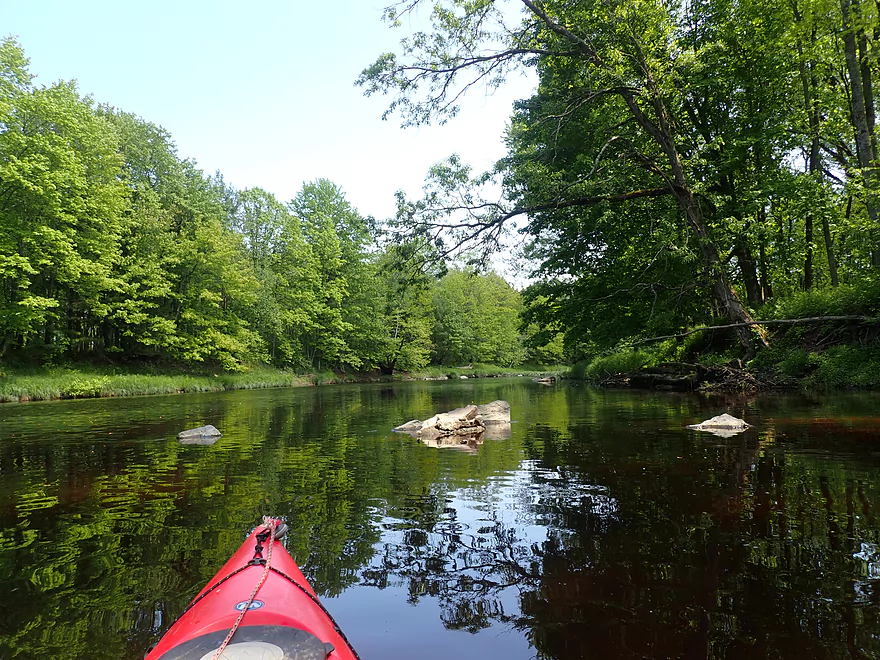
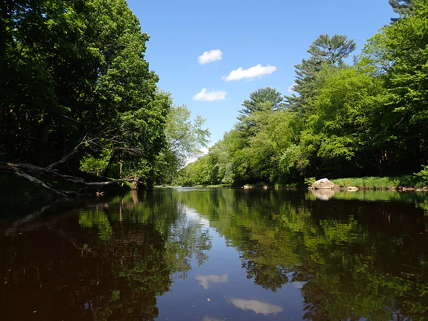
This is a clean river
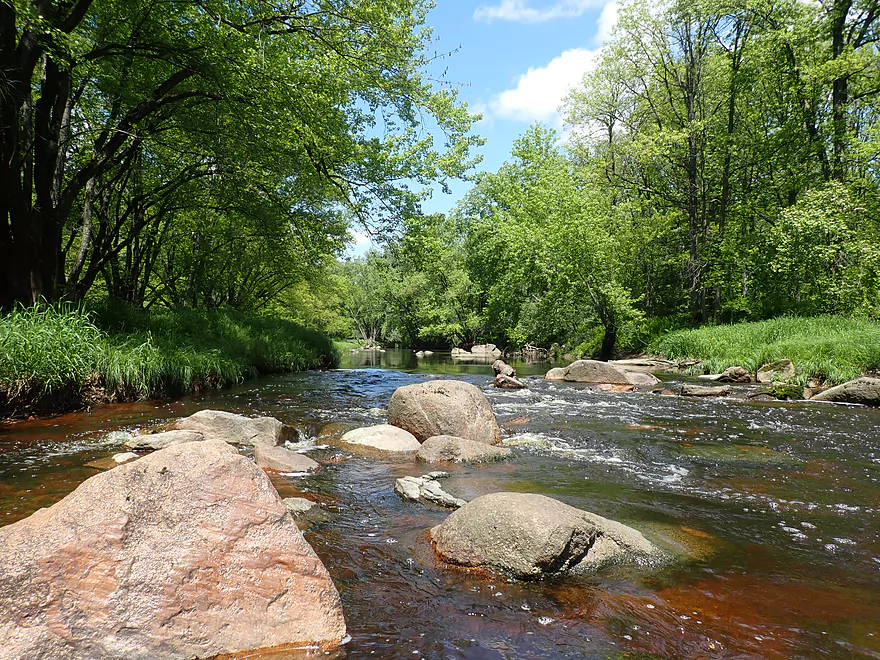
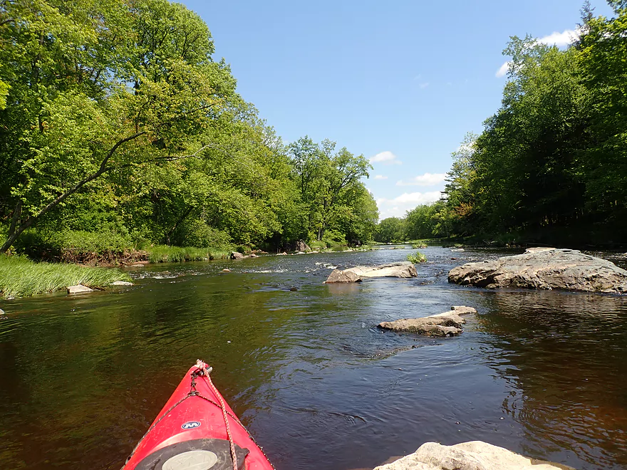
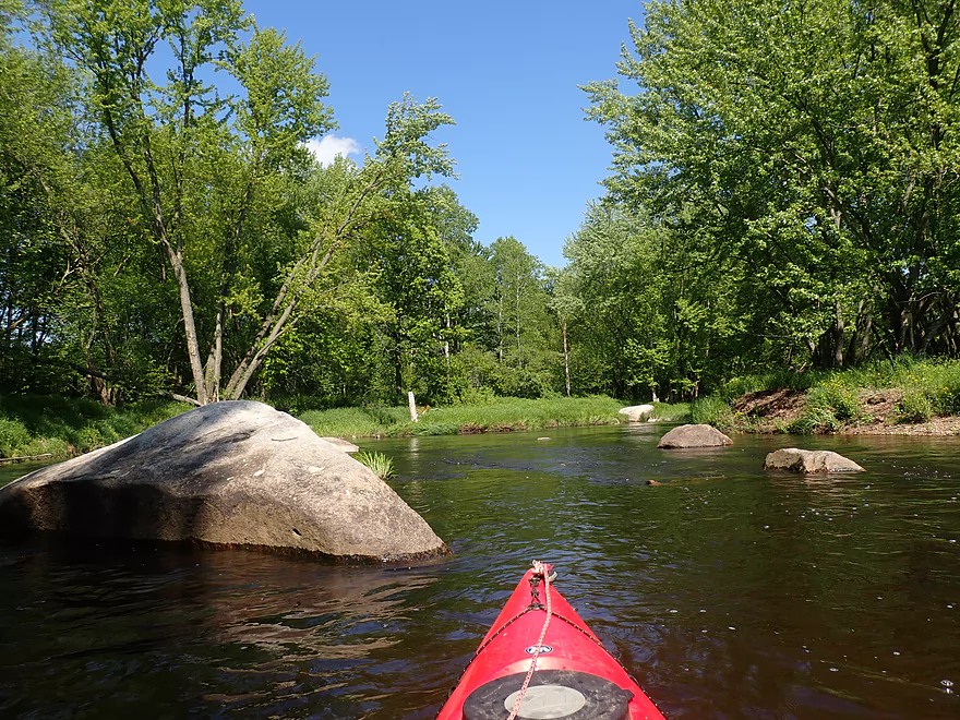
Lot of boulders
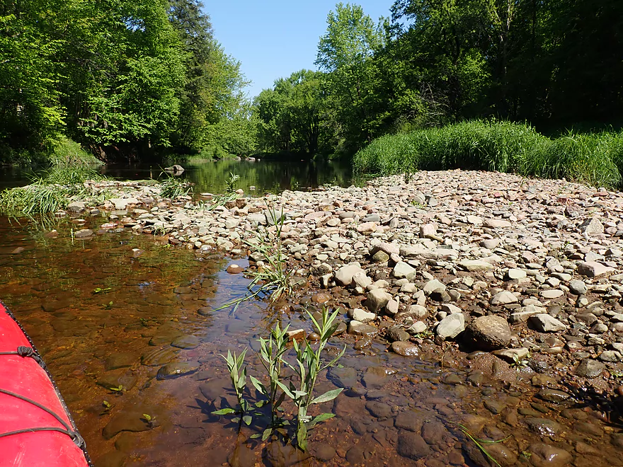
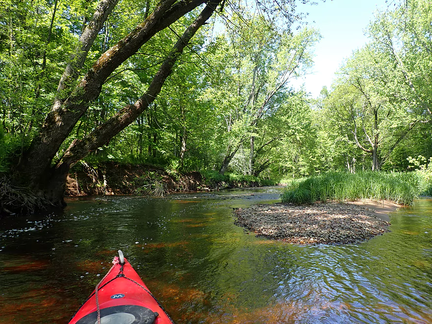
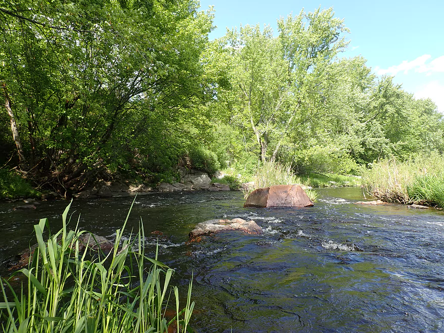
A gravel bar
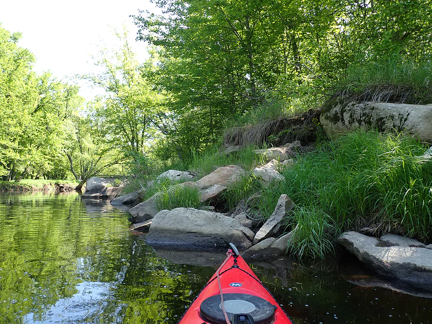
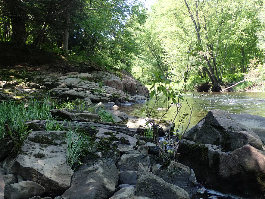
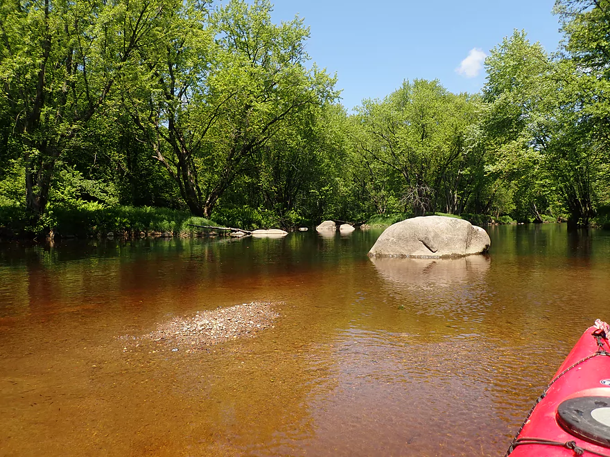
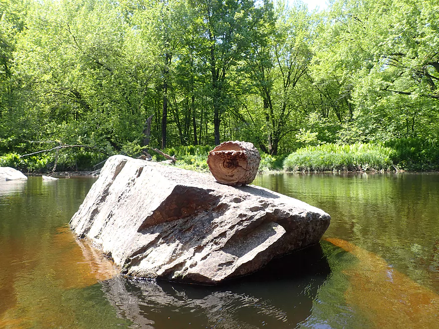
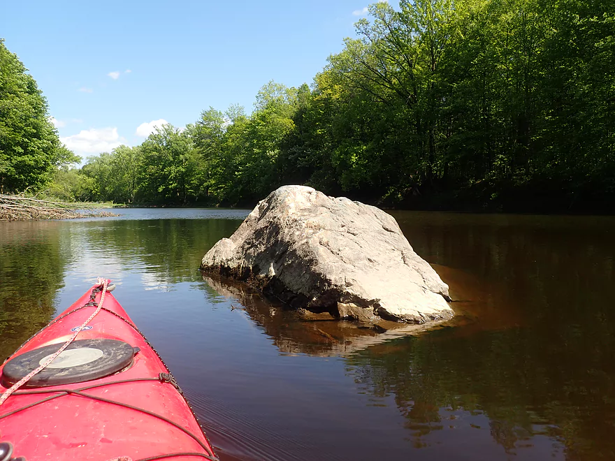
Granite boulders
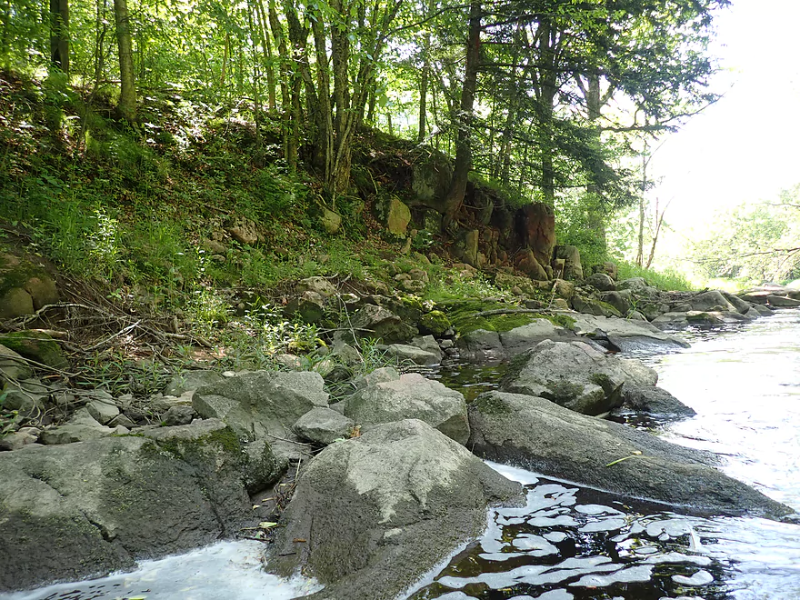
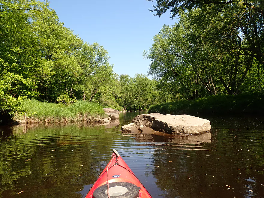
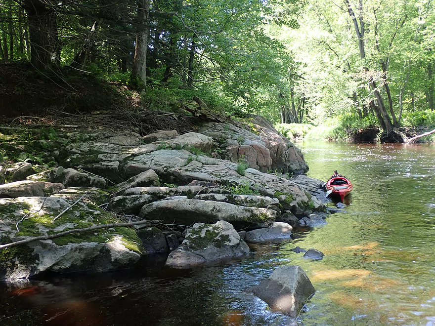
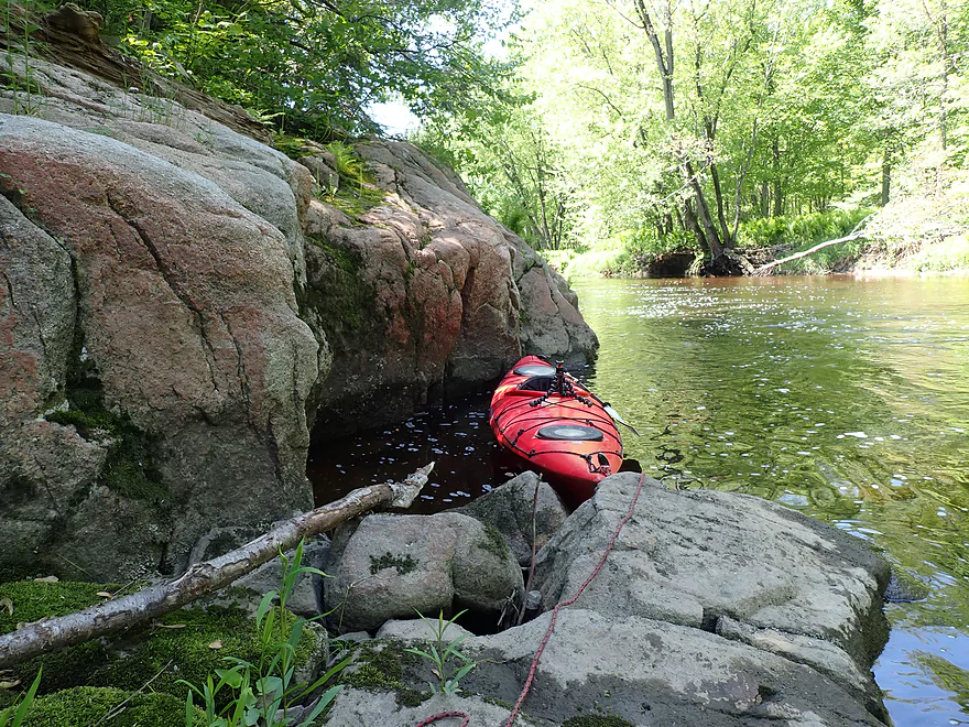
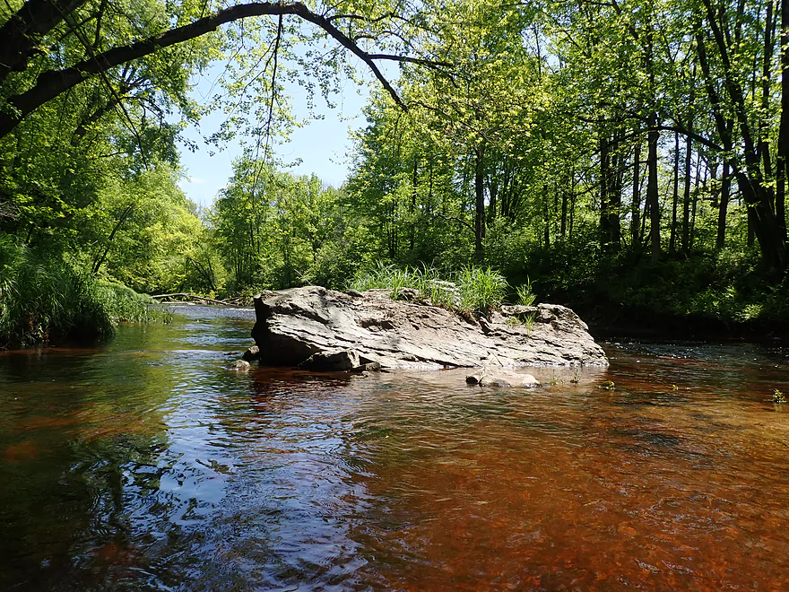
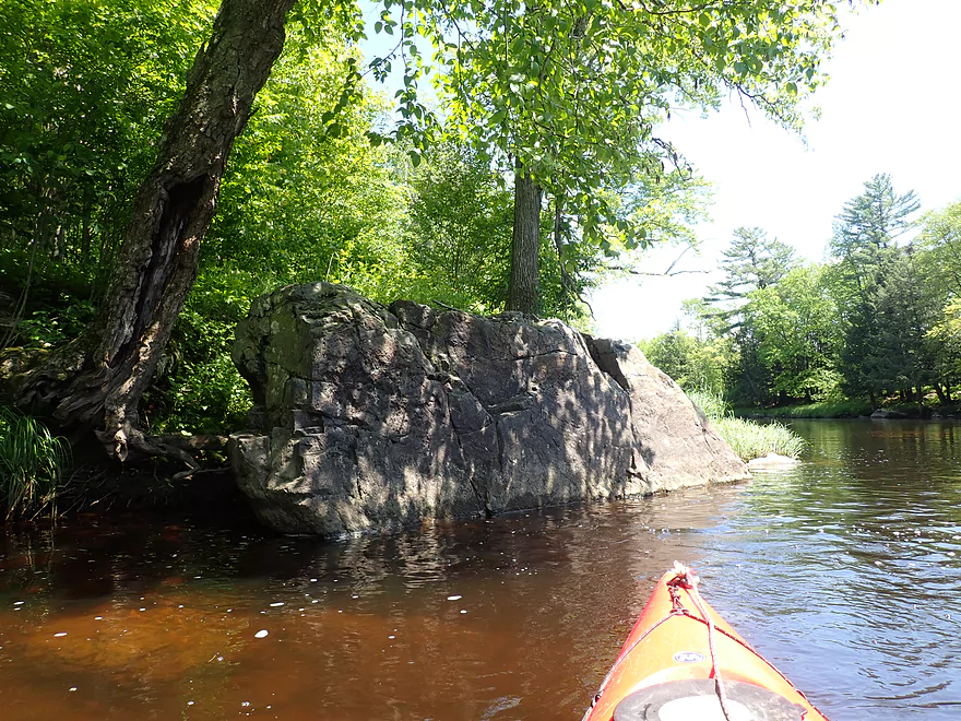
First major outcrop
Pretty cool
One of several creek tributaries
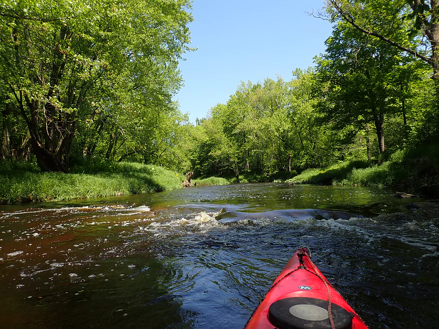
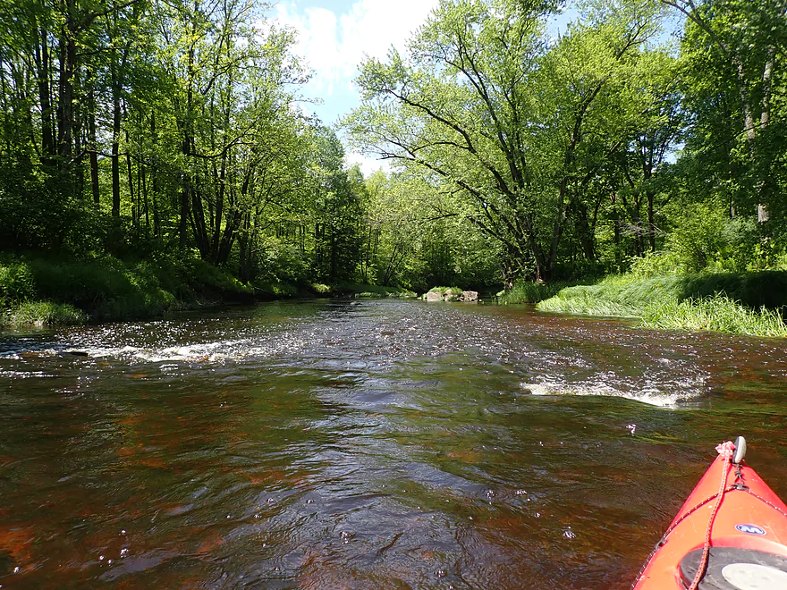
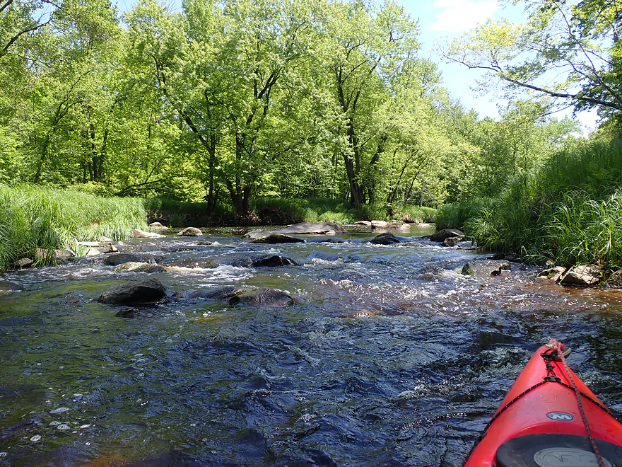
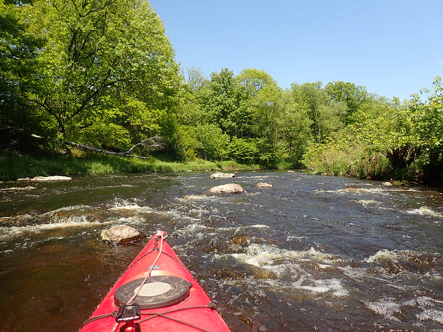
Some shallow rapids
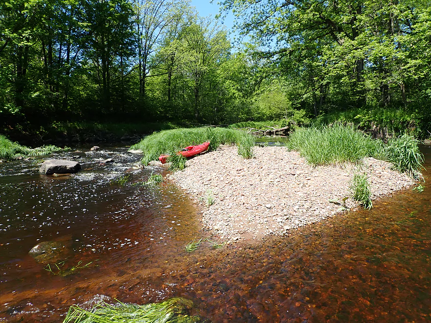
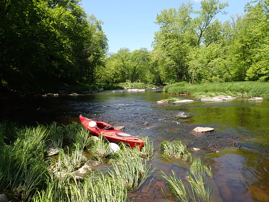
Best gravel bar on the trip
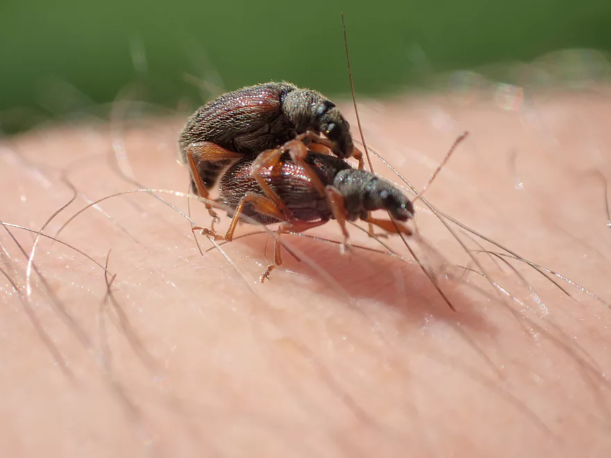
A pair of mating beetles
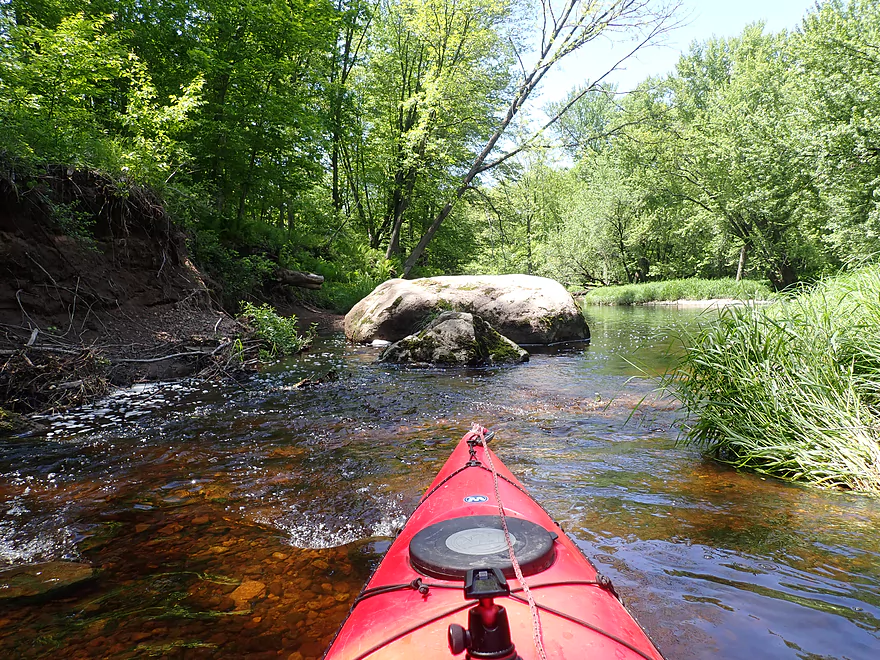
Glacial erratics
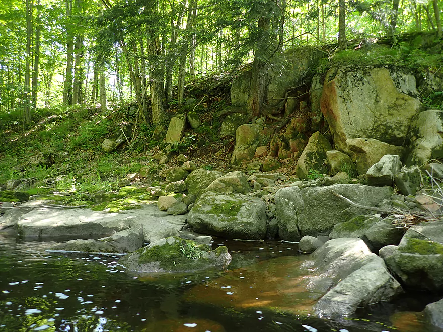
Second major outcrop
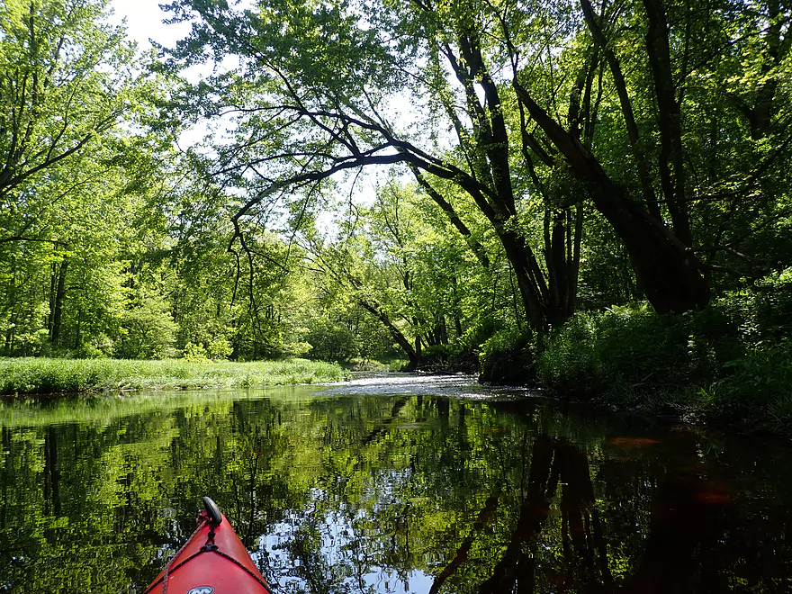
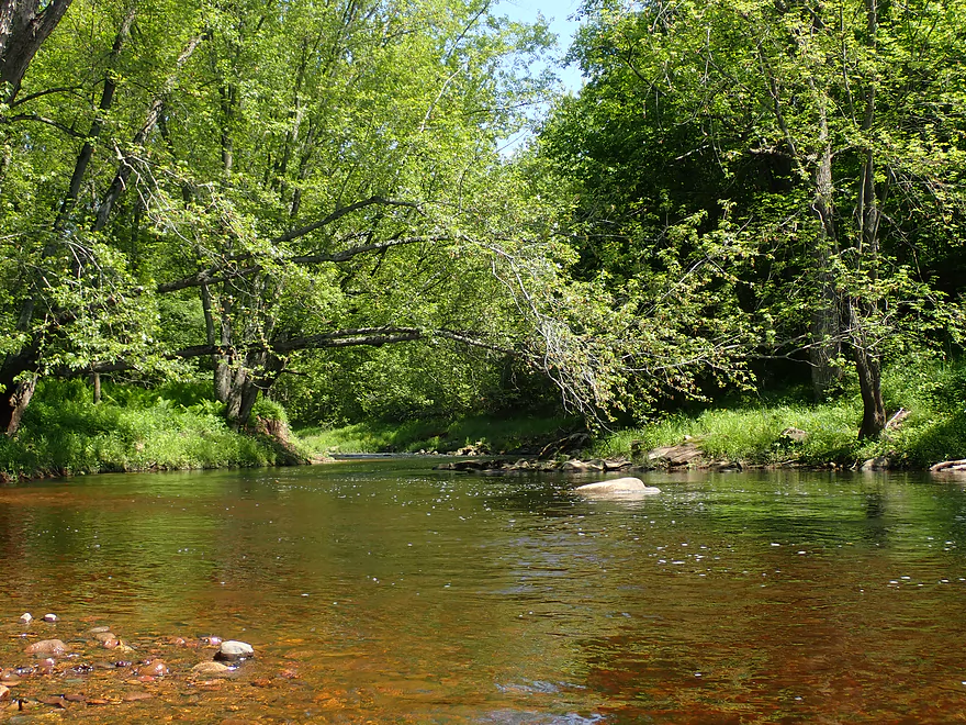
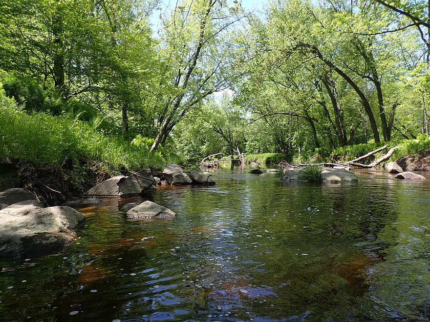
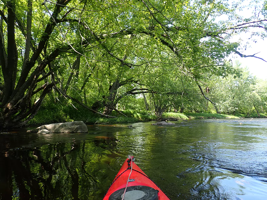
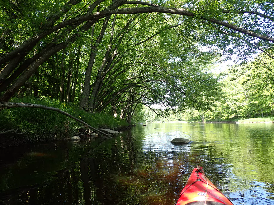
Very scenic
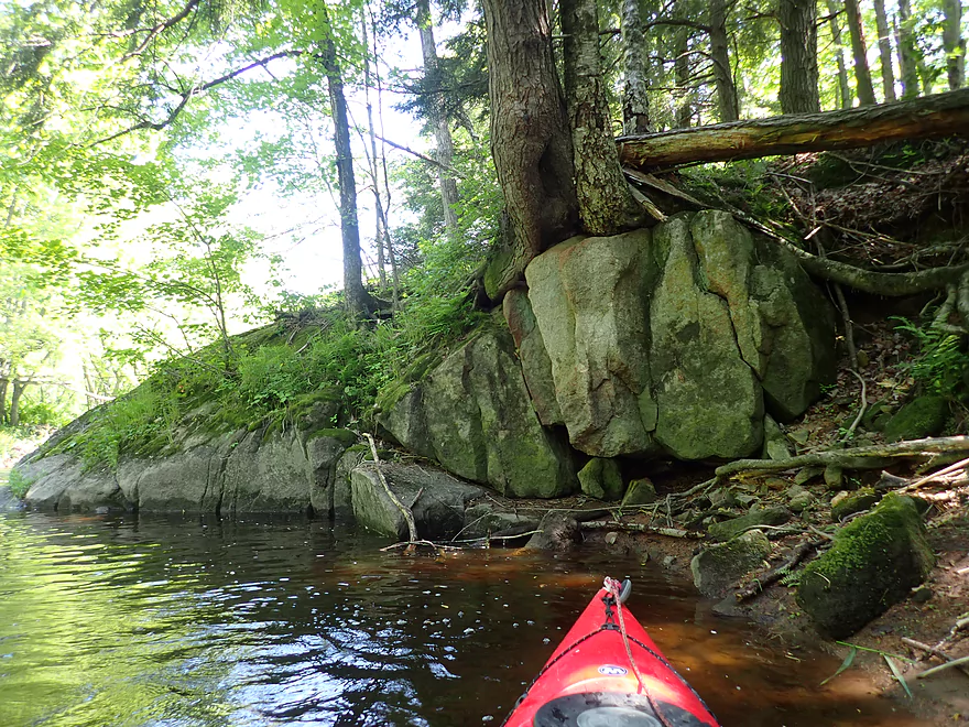
Tree growing out of the rock
Lot of sugar maple…would be a great fall paddle
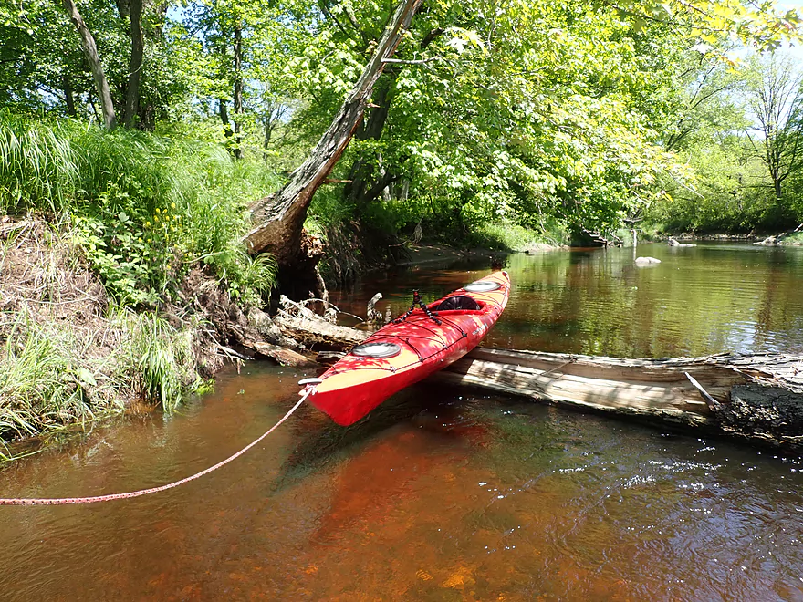
Only major logjam of the trip
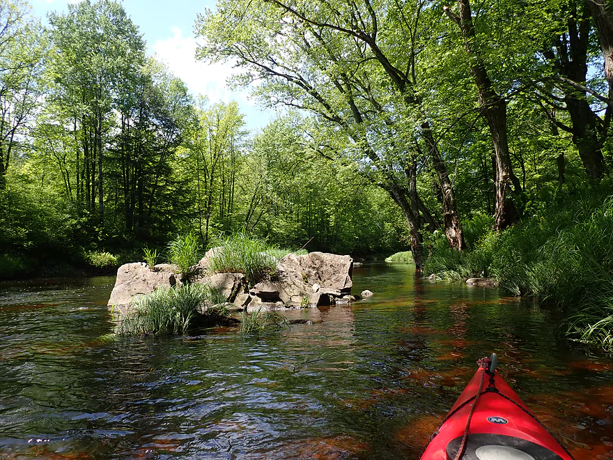
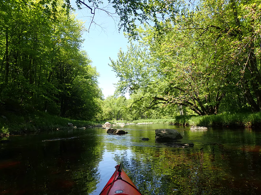
Yet another boulder garden
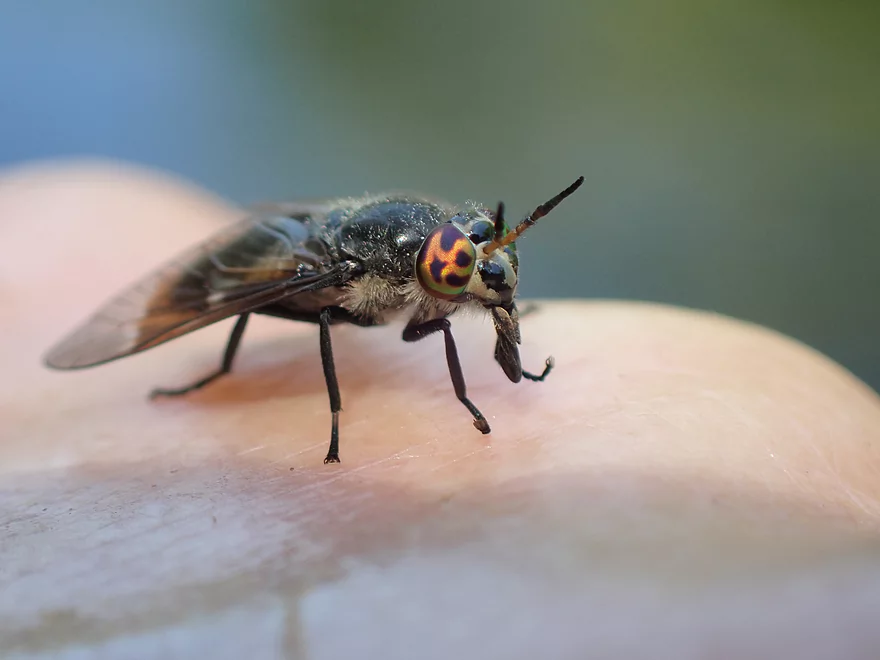
Fly with cool orange eyes

Head-on it looks evil
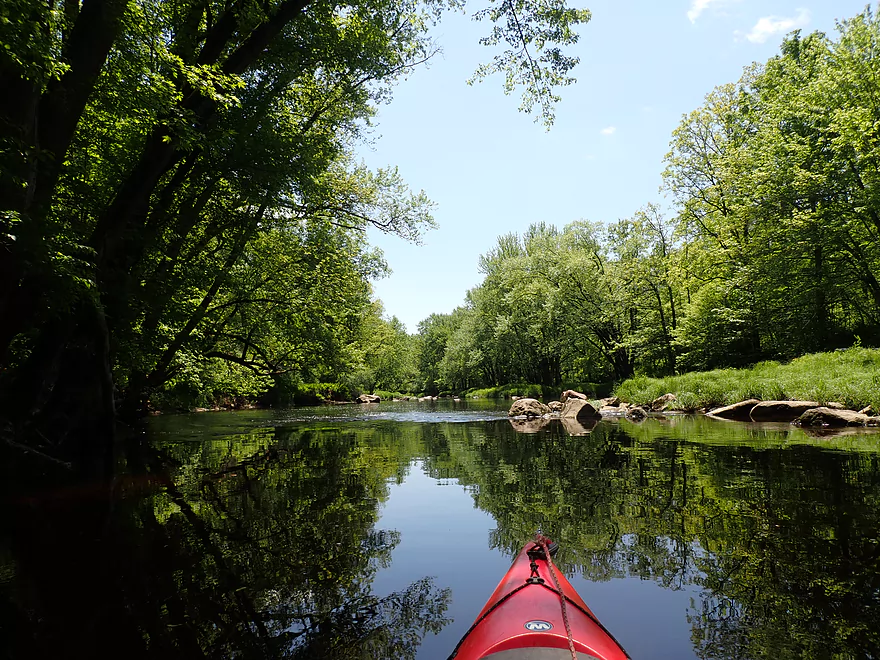
Not exactly Arnold Creek, but some decent reflections
Dill Creek is a larger tributary
Not sure what is keeping that log from rolling off
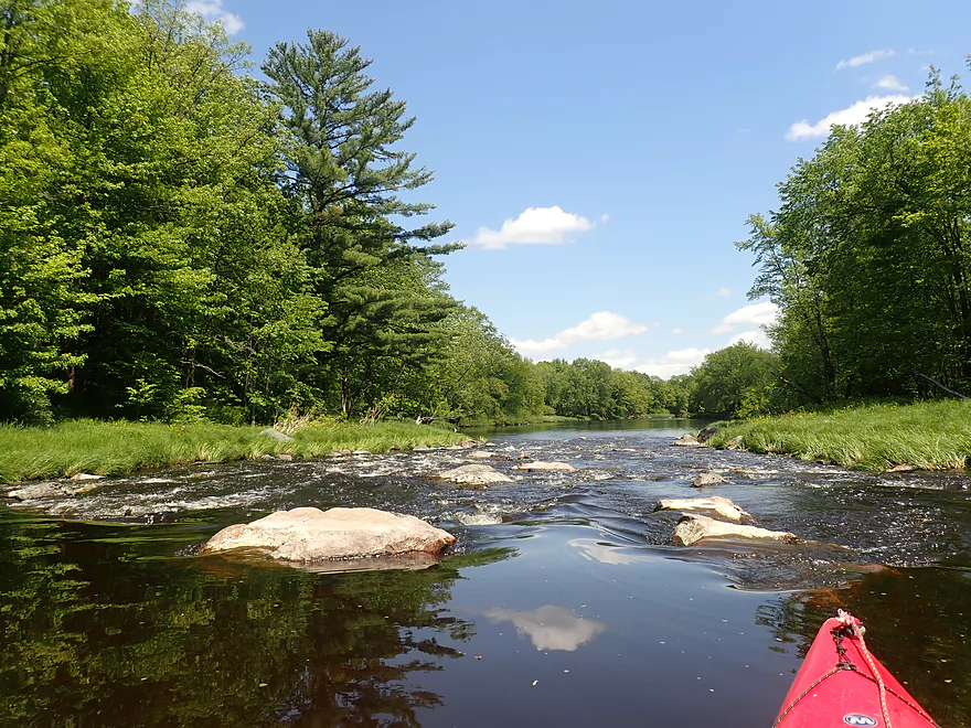
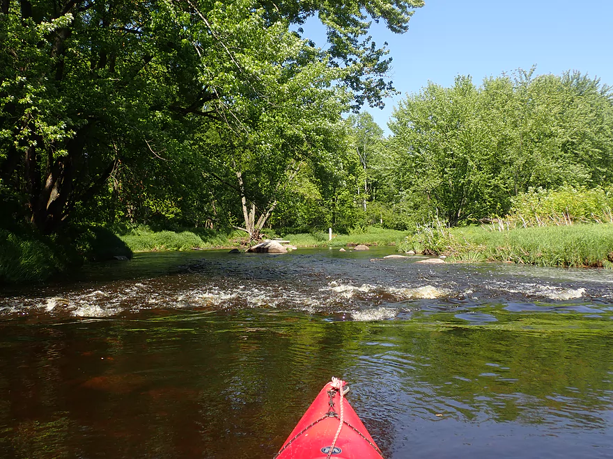
Biggest rapids of the trip
Scouting from shore…best line is on the left side
Start of March Rapids
Part of a scenic boulder garden
Ends with a one foot ledge
Nice take-out option at March Rapids Park
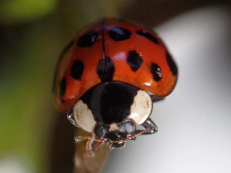
Being greeted by a ladybug
Good pull-off area for paddlers
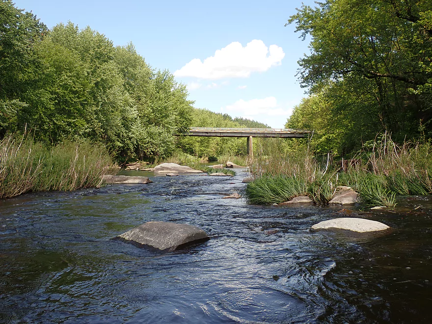
View of March Rapids from the bridge
Big Eau Pleine River – Hazelnut Rd

The Big Eau Pleine is a scenic tributary to the Wisconsin River near Stevens Point. While a terrific paddling river, it doesn’t see that many kayakers because it can only be run at ideal water levels. Too low and you get stuck on the rocks…too high and you get pinned by the rocks. For most paddlers this means waiting for a big rainstorm and then waiting a few days for levels to settle down. This may sound discouragingly difficult but it is worth it. On the plus side, the Big Eau Pleine actually drains much faster than its neighbors (Eau Claire, Big Rib, Upper Black, Plover), so while those rivers are still slowly winding down from a big storm, the Big Eau Pleine can be ready to go for paddling.
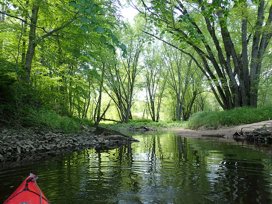
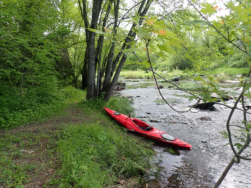
The put-in for this trip was Hazelnut Rd, which aside from some poison ivy issues wasn’t bad. The trip to start was somewhat nondescript. Both banks were heavily wooded but looked suspiciously thin in spots. I heard what sounded like a logging truck and fear the local forest suffers from logging. With lumber prices being so high, much of the state could see a record amount of logging. On a more cheerful note, there were a number of scenic hemlock trees along the river and and a lot of maple. This could be a top-tier fall color paddle.
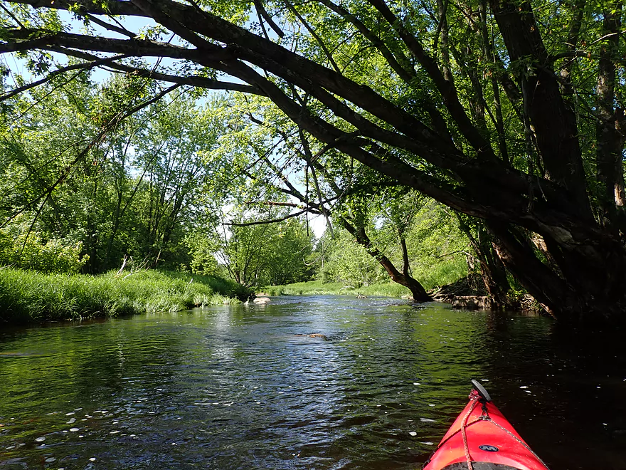
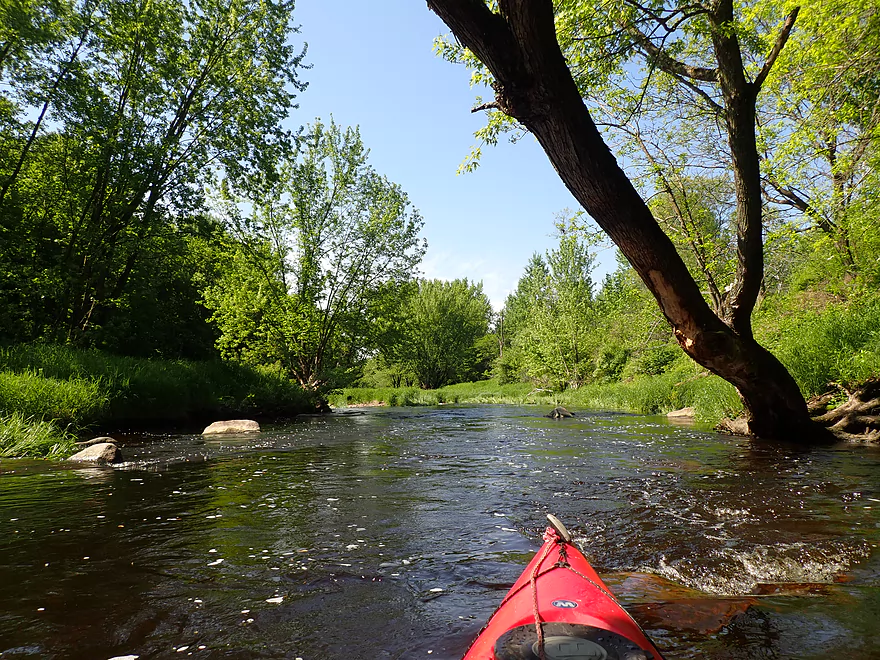
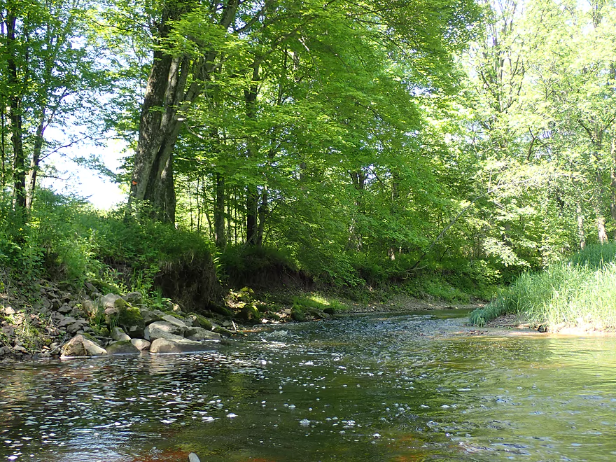
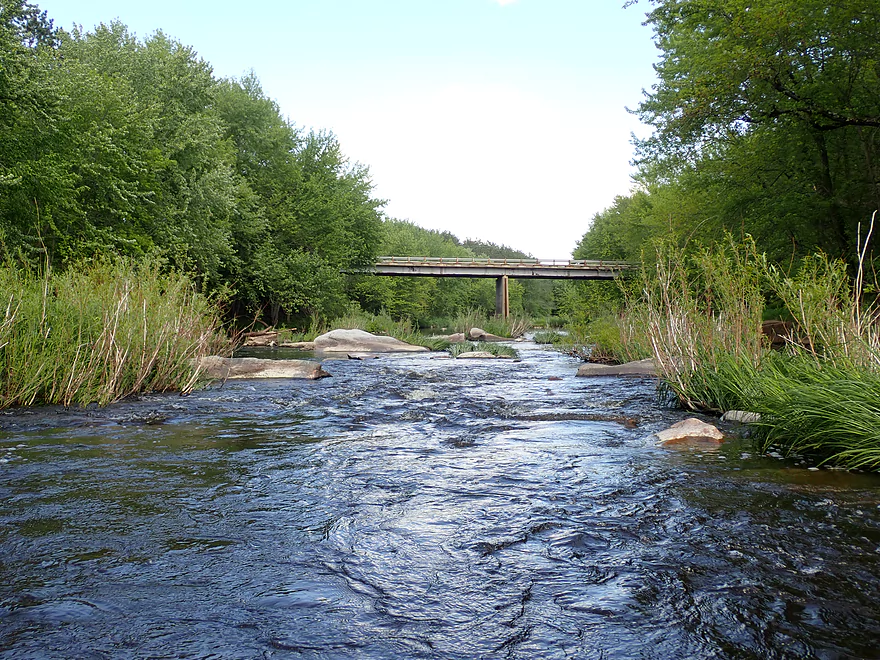
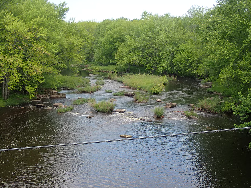
The main characteristic of this river is its pool-and-riffle nature. There would be slow stretches interrupted frequently by light riffles and even occasional rapids. This is a rocky river with many boulders and boulder gardens dotting the channel. While not as impressive as those downstream by Stratford there were several scenic outcrops. These were often topped with ferns and hemlocks.
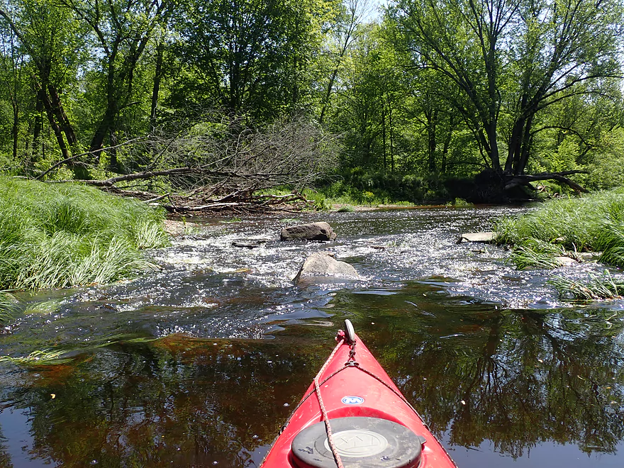
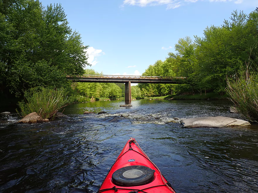
Most of the rapids were pretty easy, although in several cases there wasn’t a clear line though and I had to bump my way down (not a trip for expensive fiberglass boats!). My favorite run was a ~200′ boulder garden located about four miles into the trip. Paddling author Frank Piraino had warned about this being a fast and difficult set of Class 2 rapids so I took them seriously and scouted from the right bank. I determined the most open line was down the left side and went for it. This was the funnest part of the trip and you can see these rapids at 3:53 on the video.
The trip ended at March Rapids Park, which true to its namesake has rapids running through the park. While you can take out above or below them, I suggest running the rapids as they aren’t too difficult and are kind of scenic. The rapids culminate in a one-foot drop next to some large boulders.
Unfortunately my adventures weren’t over at this point. Even though the forecast had predicted clear skies with no rain, an ominous thundercloud blew in overhead and I started to hear thunder. This had me quite nervous as I had a long 6.8 mile bike shuttle ahead. Thankfully I only experienced a little rain, but I would learn later an intense micro thunderstorm had touched down and drenched an area just next to March Rapids Park. This featured damaging hail and was serious enough for the local radio stations to issue a weather alert.
Then there was my second problem… When I went to unlock my bike to start my shuttle, I discovered to my horror the combo lock no longer worked. Likely the internal gears had rusted or worn through and it would not release. Thankfully there was a fisherman at the park. He told me he lived close by and would return with a bolt cutter. An hour later, he never showed up and I suspect he simply didn’t want to deal with me (maybe he thought I was trying to steal somebody else’s bike). It turns out March Rapids Park is popular with fishermen though…a second individual showed up. He was a really nice guy who not only cut the cable off my bike, but gave me a ride back to the put-in avoiding an anticipated brutally long and hilly bike shuttle.
This is the fourth trip I’ve done of the Big Eau Pleine, so how does it compare with the others? Well it is the longest leg and while still a great stretch (five stars), I actually like the three other legs I did a bit more. They just seemed to have more rapids, more boulders, and fewer slow spots. If you’re new to the Big Eau Pleine, my advice would be to start with Big Rapids Park to Hwy M, which is my personal favorite leg of the river.
Jurustic Park & Hobbit House is worth checking out. It is a world renowned metal sculpture garden that features all sorts of creative creations (mostly animals and dragons) and is free to view for the public.
I didn’t see much…sights included soaring vultures, deer drinking from the middle of the river, and several flopping fish.
Hazelnut Rd: This is a doable bridge access but is not ideal because it is a bit brushy/weedy and there is a lot of poison ivy. For bike shuttlers, you’ll need at least one mile of gravel biking to reach this bridge.
Alt Put-ins:
- Cherokee Park (3.1 miles upstream of Hazelnut Rd): The put-in at Cherokee Park is very good (way better than Hazelnut Rd). This additional leg is fantastic with clear water, many boulder gardens, and fun rapids. The highlight is an 800′ long boulder field below Hwy N.
March Rapids Park: This was a great take-out and is part of a larger public park. No fees are required to use this park and outhouses are available. Fishing trails lead both above and below the rapids so you have plenty of options for where you want to take out.
Alt Take-outs:
- Big Rapids Park (3.6 miles downstream from March Rapids Park): A good leg with 7 Class 1’s and 2 Class 2’s. Big Rapids Park is a good access option (no fees + outhouses on site).
March Rapids Park to Hazelnut Road: 6.8 miles with 171′ of ascent. This would be a difficult bike shuttle because of the hills, long length, and lack of tree cover from the wind. Note, Google will want you to take the “shortcut” Maplenut Road…don’t fall for that trap…that is all gravel. Yes, Hazelnut is gravel but that can’t be helped. At least it is mostly downhill and well packed gravel.
You could eliminate all gravel from a bike shuttle by launching upstream at Cherokee Park. This route would be roughly the same bike shuttle distance but would add 3 miles of paddling to a trip. I presume most paddlers will prefer to start at Cherokee Park.
Logjams: This is a fairly unobstructed river…but there is a logjam located halfway into the trip. The right side of the channel was just knee deep, so it was easy for me to just wade over. See map for location.
Rapids: There were many Class 1 rapids. Most of these weren’t too bad, but a few were bumpy. At high flow rates they may become more pushy or even difficult. There were two noteworthy Class 2’s.
- March Rapids at the take-out isn’t too difficult and is super easy to scout.
- Two miles upstream of March Rapids is a significant boulder garden with Class 2+ rapids. Scout before running…the best path is along the left. See video 3:53. This an example of goldliocks rapids that are too shallow at lower levels, while being too difficult at higher levels.
Current: This is a pool and riffle river…long slow stretches interrupted by rapids.
Strainers: This was again mostly an open trip but in a few rare cases fast current flowed under low branches. Stay vigilant and you should be ok.
Nearest Gauge: Big Eau Pleine River @ Stratford – Located about 8 miles downstream. I did this trip at 160 CFS. This is a Goldilocks river…too shallow and you’ll be hitting many rocks, but if too high the rapids will be pushy and dangerous for rec paddlers. Often the river rises and drains quickly so timing a trip on the Big Eau Pleine can be tricky (but worth it!).
- < 100 CFS: Likely too shallow.
- 101-150 CFS: Most of the river will be fine, but there will be some bumpy spots.
- 151-200 CFS: A good depth. A few bumps here and there, but all-in-all pretty good.
- 201-250 CFS: Also a good depth. The boulders should be well padded.
- 251-300 CFS: A bit on the high side but likely manageable for experienced paddlers.
- 301-400 CFS: A high depth for rec paddlers, but a good depth for whitewater paddlers. Rapids will become more difficult at this point.
- 401-500 CFS: Likely only suitable for whitewater paddlers.
- 501+ CFS: Very high flow rates…perhaps only suitable for very experienced whitewater paddlers.
Detailed Overview
- Upstream of Gierl Ave: Only runnable at very high flow rates. A reader by the name of Jeremy provided a quick summary here.
- Gierl Ave to Elderberry Road: 2.1 miles. This leg doesn’t have quite the concentration of boulders/rapids as downstream legs but is a good prospect with maybe one major stretch of rapids/boulders and three mediocre stretches. This is a shallow leg that can only be run in high water.
- Elderberry Road to Cherokee Park: 3.7 miles.
- Elderberry Road to Huckleberry Road: 1.9 miles. A shallow wooded stretch with a handful of Class 1's and two Class 2's at the end.
- Huckleberry Road to Cherokee Park: 1.5 miles. Very wooded flowing mostly through Cherokee Park. Nice leg with three Class 3's and one large boulder garden.
- Cherokee Park to Hazelnut Road: 3.1 miles. Fantastic trip with clear water, many boulder gardens, and fun rapids. The highlight is an 800′ long boulder field below Hwy N.
- Hazelnut Road to March Rapids Park: 6.1 miles. Heavily wooded leg with multiple boulder gardens and a few small outcrops. There are two sets of significant Class 2 rapids.
- March Rapids Park to Big Rapids Park: 3.4 miles. A good trip with 7 Class 1’s and 2 Class 2’s.
- Big Rapids Park to Hwy M: 8.5 miles.
- Big Rapids Park to Hwy 97: 1.9 miles. Shallow but scenic section.
- Hwy 97 to Hwy M: 5.6 miles. Scenic section with several rock outcrops.
- Hwy M to Hwy 153: 0.9 miles. There are some rock walls after Hwy M, but you could just paddle down and back to explore, instead of taking out at Hwy 153. Hwy 153 is not an ideal take-out.
- Hwy 153 to Maryel Drive Boat Ramp: 2.2 miles. Probably uninteresting flowage padding. Put-in at Hwy 153 would be tricky, but the take-out at the ramp would be good.
- Maryel Drive to Reservoir Dam: 13.3 miles. A huge lake that is not paddle friendly. Numerous launch options are marked on my overview map. The dam is located on the mouth near the Wisconsin River.
Trip Map
Overview Map
Video
Photos Size:
Went on the Big Eau Plaine yesterday, July 27, 2021. River was the only one in our area that had good levels because of some rain in the morning so we chose to go from March Rapids to Big Rapids Park. Since the rain was centered in Colby and south of Hwy 29, this river rose quickly. Water was at 500 CFS and at 5.25 height according to USGS Gauge when we went at 600 pm. River was pushy, flowing fast, but we were with a group of five veteran paddlers so, we were fine. I wouldn’t go when it was much higher. I think we went over several rapids and never even knew it, but the ones we went through were rolling pretty good and we got splashed, skirts would have helped! Trip took us 1:20 and we didn’t rush it in the quiet areas. Final Rapids at the park is always a good finish. Took out at spot near the parking area which is very nice. River crested at about 500 CFS yesterday at about 700 pm and then I see it had dropped down to 200 24 hours later. Probably too low now.
Yeah, the Big Eau Pleine is such a frustrating river to time. It’s interesting that you got so much rain up north…we hardly got any here in the Dells. The gauge references you provided are helpful and should assist other paddlers in determining when/how to time a trip on the river.