
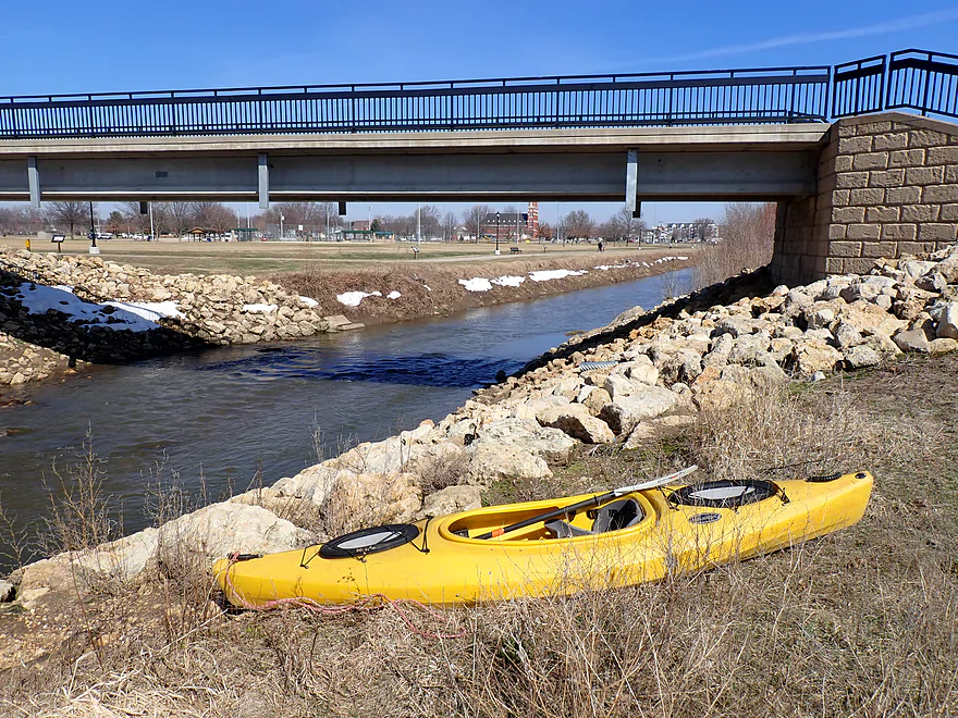
Starting the trip at Candy Cane Park in Dyersville
Fun rapids right off the bat
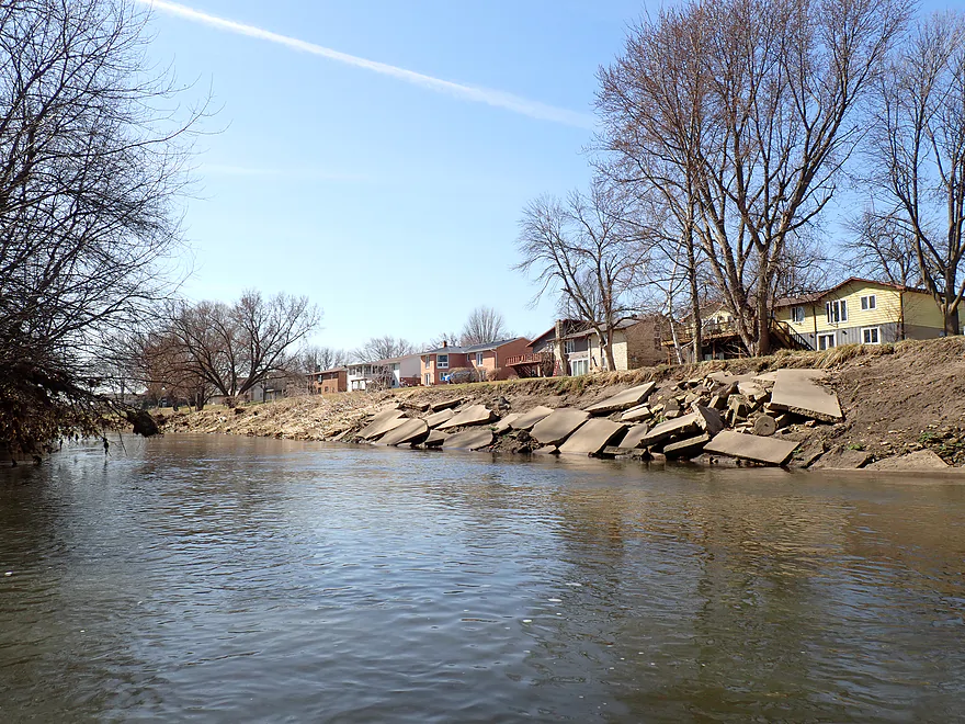
River flows through the south side of Dyersville and past ripped-rapped banks
Some of the gravel bars were nice
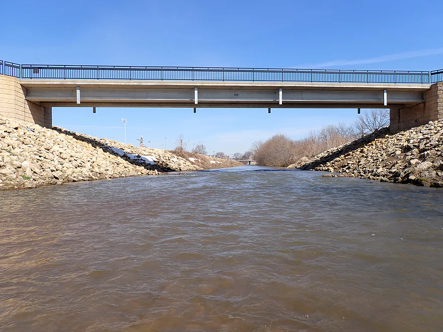
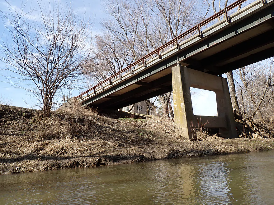
Noisy Hwy 20
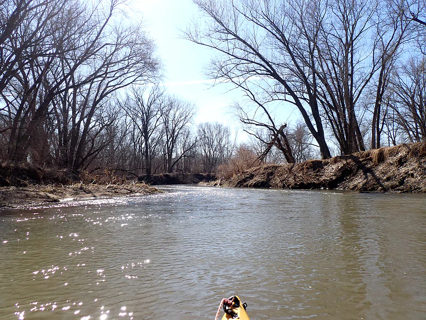
Scruffy banks and vegetation
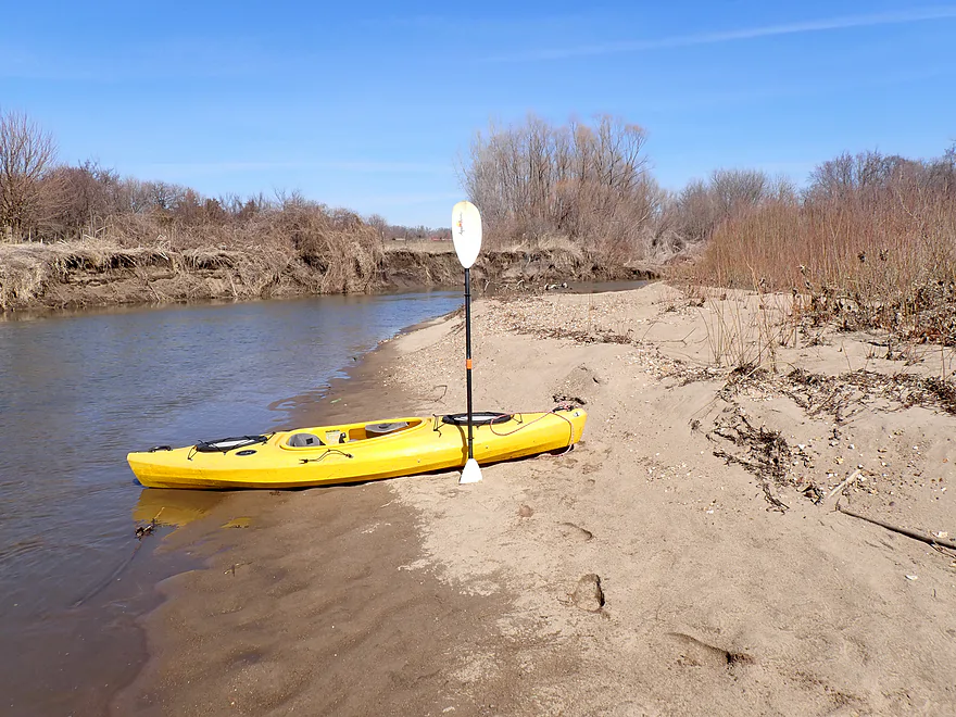
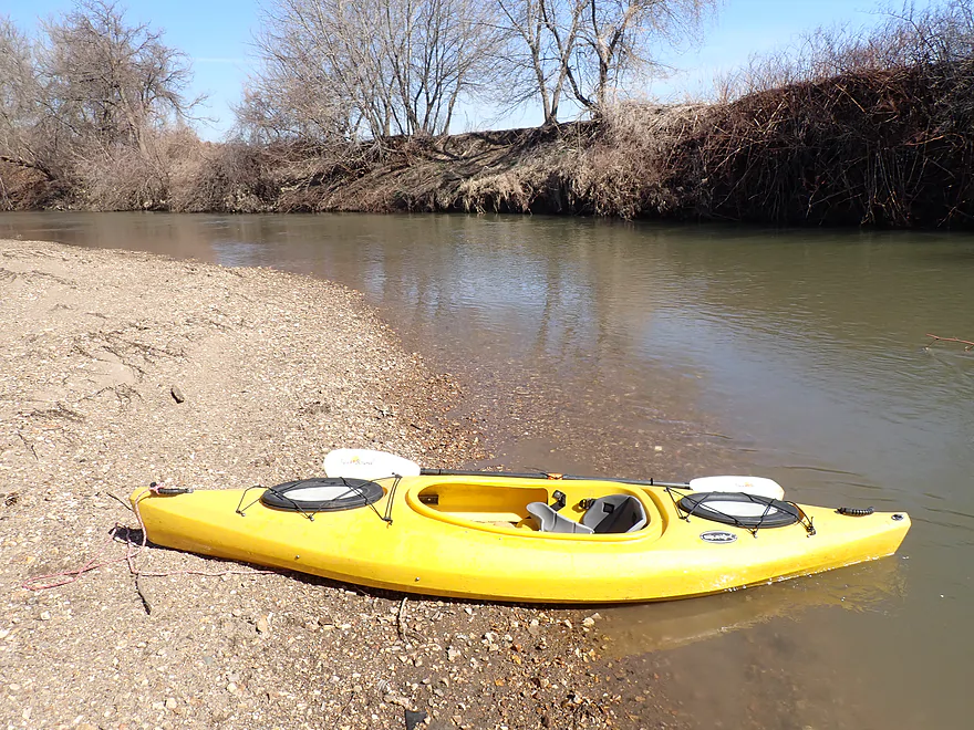
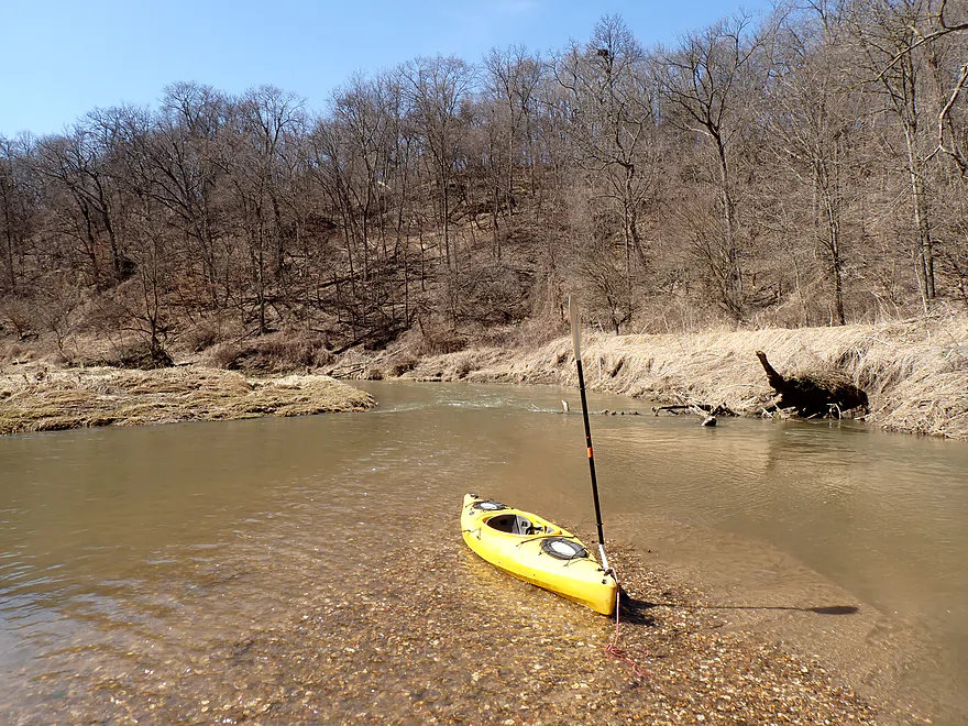
One of the nicer sandbars
A longer stretch of rapids
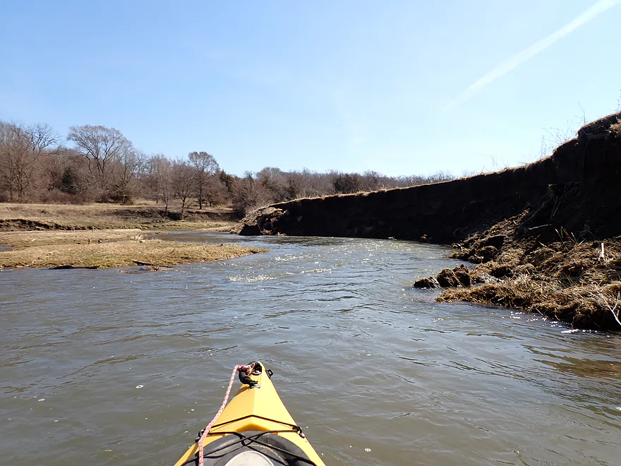
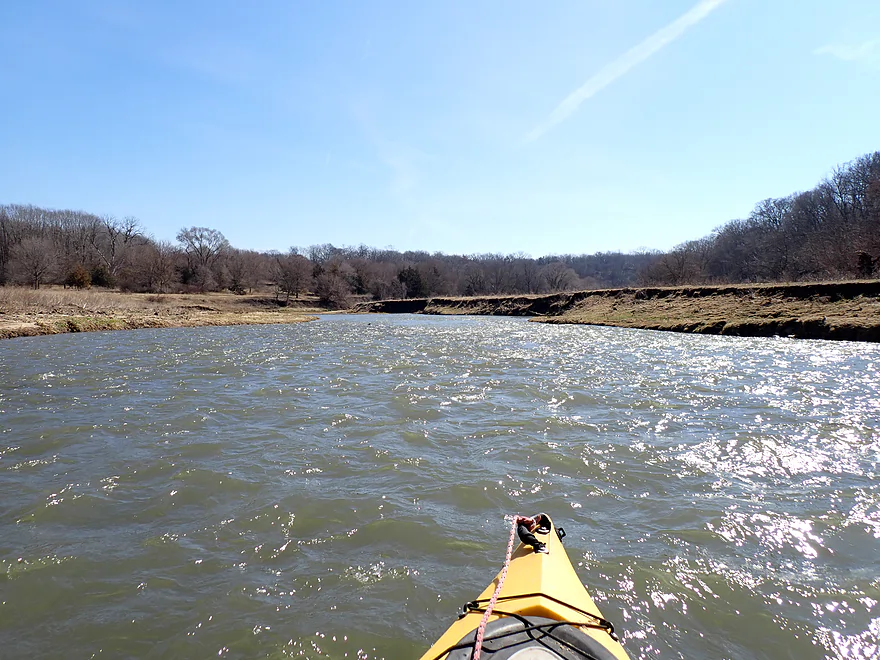
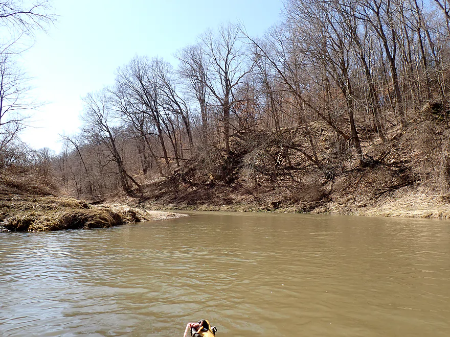
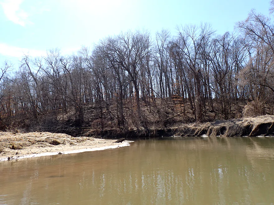
Tall mud banks from years of soil erosion
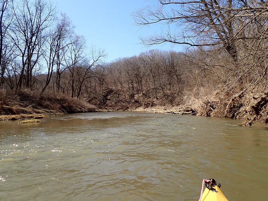
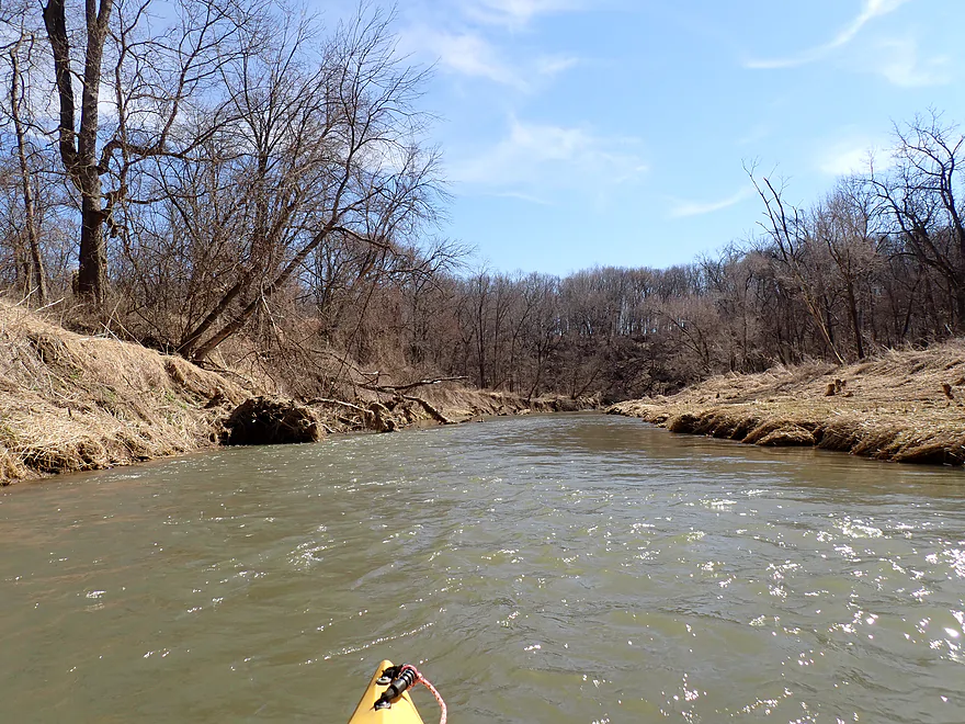
River enters a hilly stretch
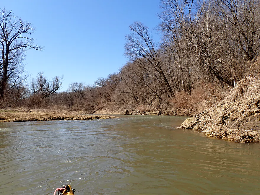
Nicer part of the trip
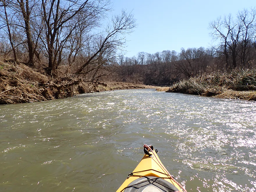
Still some rapids
See if you can spot the eagle nest
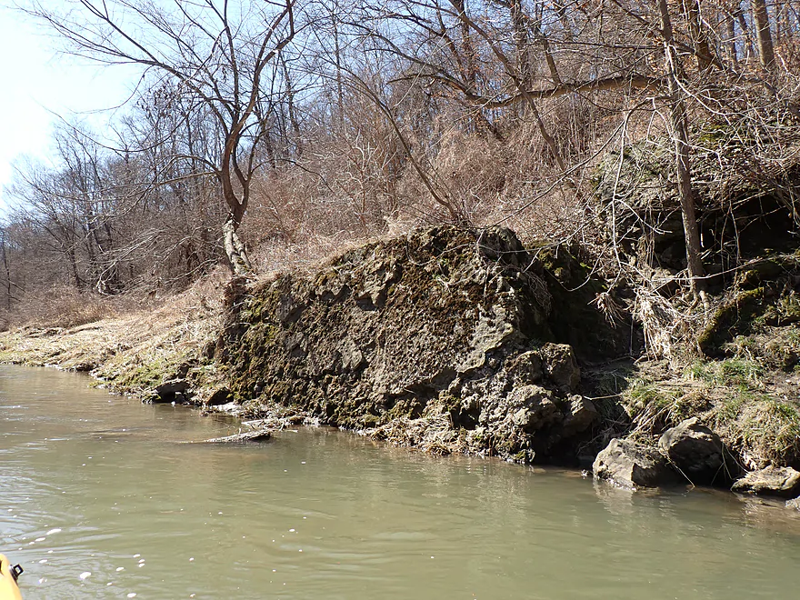
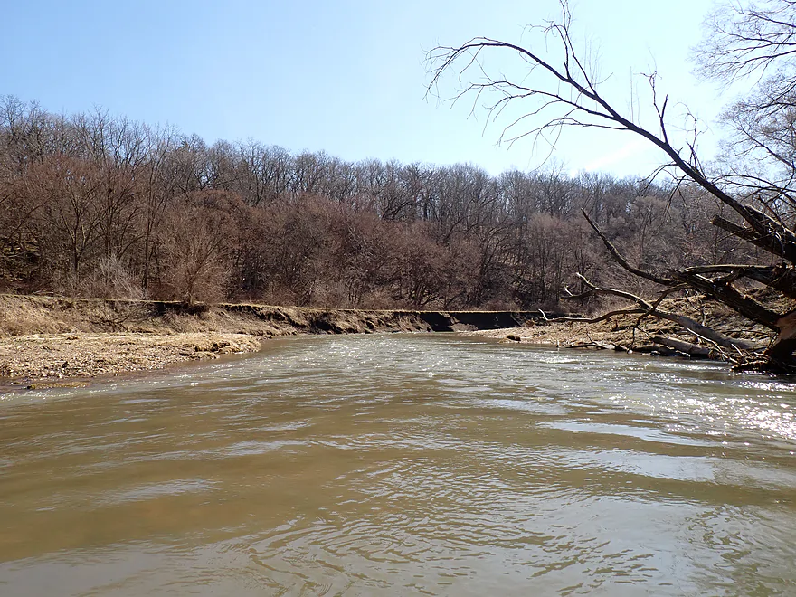
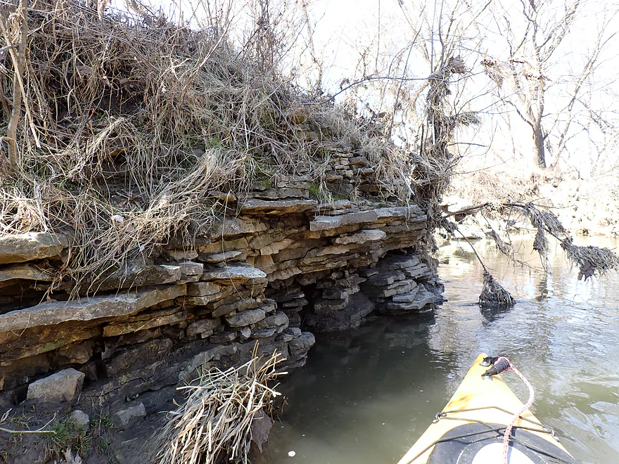
Not many outcrops…but a few small ones
Attractive bend in the river
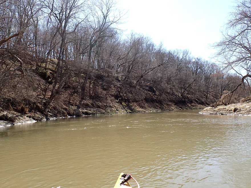
One of the larger bluffs
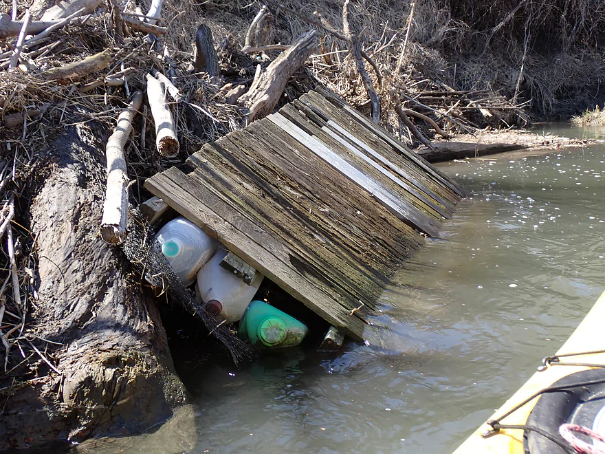
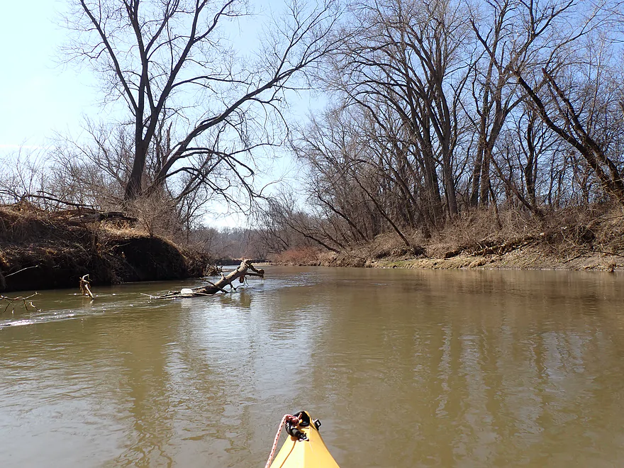
Somebody’s homemade raft didn’t make it
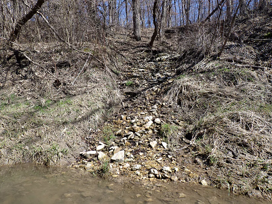
Spring water trickling down the hillside

Final rapids
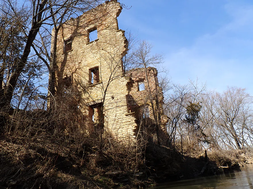
Remnants of the old Rockville grist mill (the town is long gone)
Remants of I think an old mill
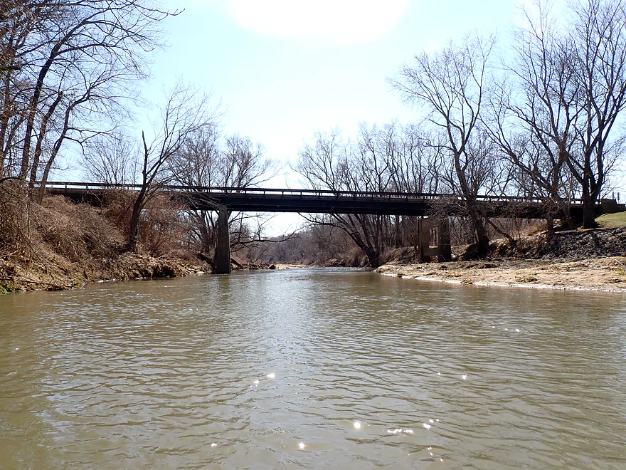
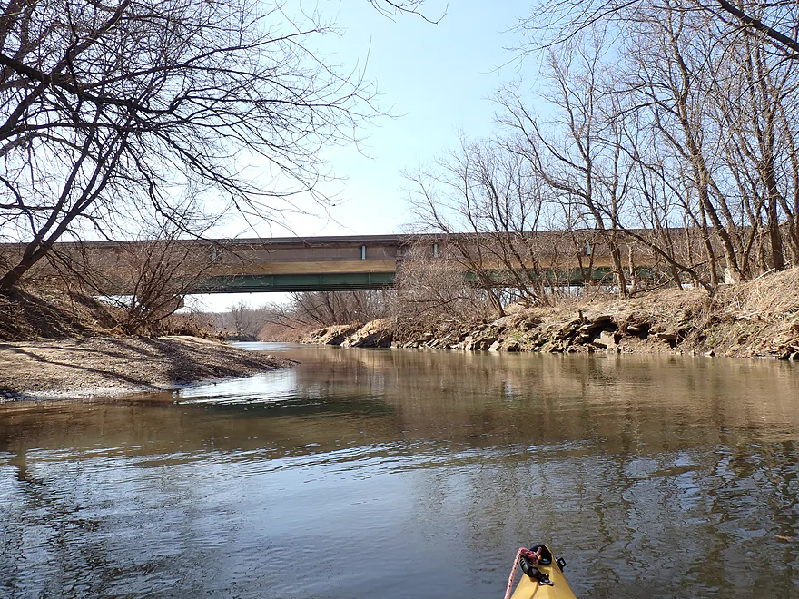
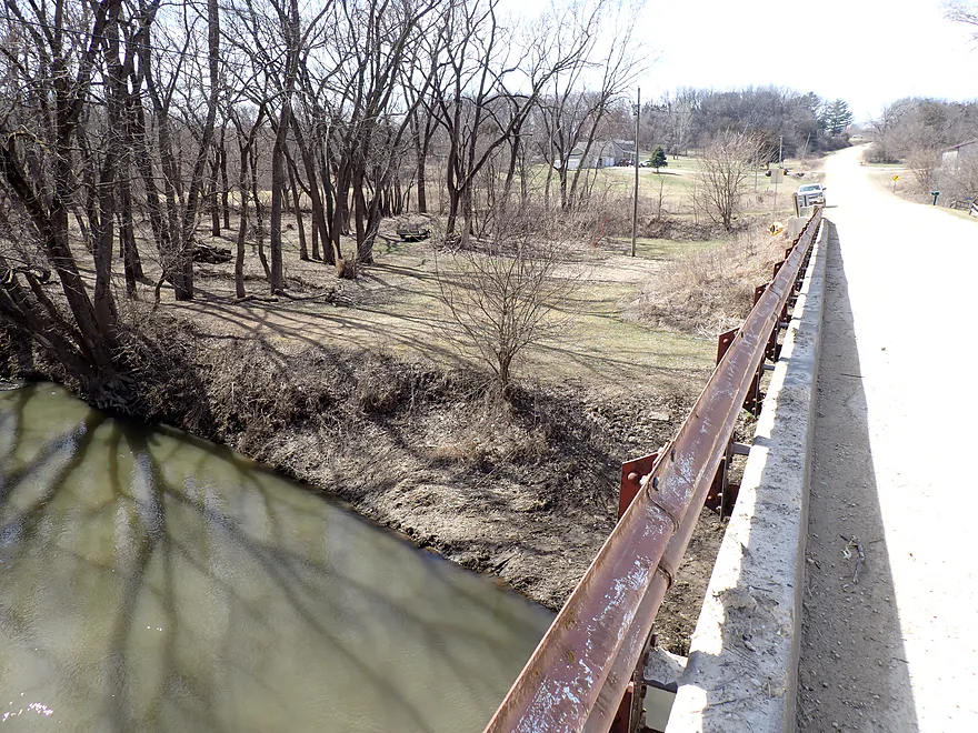
Rockville Road
Not ideal as an access since there is a house next door
And it’s muddy
But it is here I ended the trip

Scouting the next bridge (272nd Street)
And scouting the next access option…the bank off 305th Street
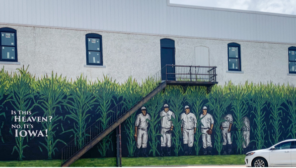
Dyersville is filled with Field of Dreams references (photo courtesy of KGAN News)
North Fork of the Maquoketa River – Dyersville

The North Fork of the Maquoketa is a nice stream located in Iowa (about a half hour west of Dubuque and the Wisconsin border). I’ve paddled it twice before, but this time I wanted to explore the far upper parts by Dyersville which, to the best of my knowledge, had not previously been documented.
I started at Candy Cane Park in Dyersville. Despite being channelized and riprapped, the river was attractive and backdropped by the Dyersville skyline. Many locals were out hiking a popular riverwalk which parallels the North Fork. This was one of the best parts of the trip and in hindsight I should have launched further upstream to see more of the town.
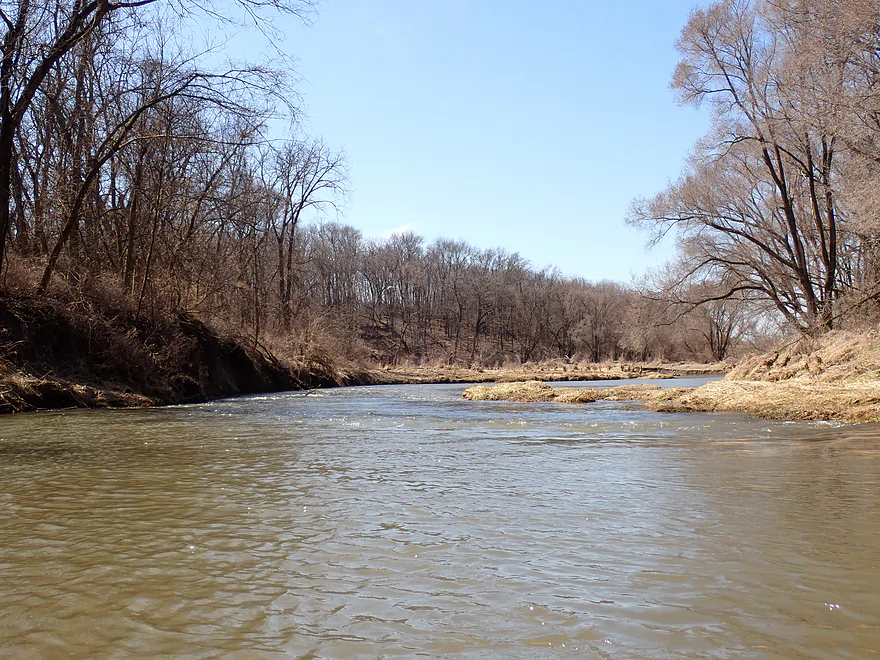
The river soon lost the park and riverwalk, which was replaced by a generic subdivision. Here the banks were scruffy, and disorganized. But the current was good with a few light rapids. Past the roar of the Hwy 20 bridge, the final vestiges of Dyersville faded away and the river started to meander with several small gravel bars and sandbars. The stream quality was atrocious, with a lot of disturbed ground species, scruffy trees, turbid water, and large eroded banks.
There is no way to sugar coat it…Iowa’s land management is just not very good. Most of the state’s land is controlled by politically powerful land barons and corporations who clear-cut every tree they can see for vast monoculture crops. Of this farmland, 85% is either corn or soybeans, which represent poor genetic diversity. Little is done by the Iowa DNR to conserve public land or prevent topsoil erosion, and many rivers are heavily silted in. Iowa is infamous for leading the nation in glyphosate application and much of that ends up in the local groundwater. Coincidentally, Iowa has the second highest cancer rate in the country. Here is an eye opening video short on the situation.
Back to the trip… I soon entered a hilly stretch with steep bluffs, which was a big improvement over the previous leg. I had hoped to see outcrops on this trip (like I had on my other North Fork trips) but aside from a few runts, there wasn’t much to see. The wooded bluffs were still nice, and it’s always a miracle to see large contiguous woods in Iowa that aren’t clear-cut for corn profits. Per the Google Maps photos I saw, I believe this area should have nice color in the fall.
The last mile started to open up a bit. Close to a large scrapyard, I paddled past what looked like an old gutted-out river mill. I actually thought the desolate and degraded brick walls looked cool. I found out later it was the remnants of the Rockville Grist Mill, which locals liken to an old fortress. Right after this I came to Rockville Road, which was my take-out (not ideal…more on that later).
In summary, this trip was pleasant but a bit of a disappointment. The lower trips I did just had more interesting scenery, better woods, better bluffs, and way more boulders and outcrops. In hindsight, maybe I should have done the stretch below 272nd Street, which I think would have been really cool. Oh well.
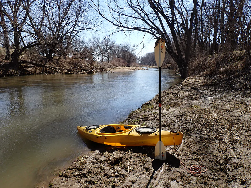
I didn’t see much…well that was unique. I still saw a number of deer, squirrels and geese. There were also a few eagles and one blue heron.
Field of Dreams: Dyersville is where the famous “Field of Dreams” movie with Kevin Costner was filmed. Today the main field serves as a tourist attraction and there are several additional themed murals, buildings and baseball fields in Dyersville.
The Heritage Trail: This is an Iowa rails-to-trails project which travels 30 miles between Dyersville and Dubuque. In the process, it goes through a 450 ft. valley and features “limestone bluffs, old mining towns, woodland scenery, and over 30 bridges.”
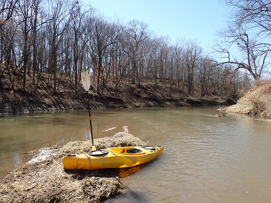
Candy Cane Park/Dyersville: This was a decent access with good parking east of the river (by the baseball field). The bank was a bit steep by the pedestrian bridge and there are light rapids to deal with, but IMO it’s not too difficult to launch from here. In hindsight though I should have launched further upstream as the river section through Dyersville was one of the nicer parts of the trip.
Alternate Put-ins:
- Westside Park – Soccer Field Parking Lot: 0.3 miles upstream from Candy Cane Park. I should have started here. It would have been easy to launch from the parking lot and the river section that runs by the parks is scenic.
- Beltline Road: 0.7 miles upstream from Candy Cane Park. I believe this would be a viable bridge access (
Rockville Road: This bridge access isn’t ideal but is kind of doable. The banks are steep and the east end is too weedy. The west end is nicely mowed…but is VERY close to a private home. You also have to drag your boat up a steep ditch and parking is tight. All that being said, this is doable for adventurous paddlers…I saw another truck parked here who was using the bridge as an access, and I saw canoe marks in the mud where another paddler had launched. But be considerate and courteous of the local property owners if you launch here as you are VERY close to them.
Alternate Take-outs:
- 272nd Street: 2.3 miles downstream from Rockville Ave. Another not-ideal bridge access (picture). The east end is too close to a home and, while there is a nice trail leading to the water, it likely deviates too far from the DOT right-of-way and is probably private. If you must use this bridge as an access, I suggest launching from the west end, which is steep and weedy…but doable and less likely to get you in trouble with locals. The stretch between Rockville Road and 272nd Street is flat, open and likely more boring. I doubt I’ll ever paddle it.
Bike Shuttle – Rockville Road to Candy Cane Park: 5.7 miles with 217′ of ascent. By Iowa standards this is a good bike shuttle as 90% of it is paved (if you shuttle east of the river). But…Rockville Road is gravel and Hwy 136 is a busy, fast and hilly road. There is room to bike on the shoulder, which is decently sized, but you do have to dodge rumble strips (not overly difficult). The final shuttle section through Dyersville was pleasant and easy.
Logjams/Fences: None
Strainers: There are a few but, IMO, alert paddlers shouldn’t have any difficulty dodging these.
Rapids/Current: The current moves at a good pace. There are maybe 7-8 rapids…all are easy and none greater than Class 1.
Closest Gauge: North Fork Maquoketa River @ Fulton, Iowa
Trip Depth: 375 CFS or 3.3′
Navigability Estimates: The following are just rough estimates. Always use your own judgement.
- < 150 CFS: Perhaps too shallow for paddling. Note, the river rarely gets this shallow though.
- 151-230 CFS: Very shallow. Likely 98% of the river will still be plenty deep, but there will be a handful of sections you might have to wade. Clarity should be excellent.
- 231-300 CFS: An average depth good for paddling. Maybe 2-3 of the rapids might have to be waded though.
- 301-400 CFS: Above average depth. A good target range, but water quality will be poor.
- 401-550 CFS: A higher depth that is still acceptable for paddling.
- 551-700 CFS: River is high and likely not attractive for paddling but is probably doable. Paddlers should have adequate experience before attempting fast rivers at high levels.
- 701-1000 CFS: A very high depth. Perhaps only suitable for advanced paddlers.
- 1001+ CFS: Perhaps only suitable for expert paddlers.
- Upstream from Vaske Road: The far upper legs might still be navigable, but little is known about them.
- Vaske Road to New Wine Park: 1.2 miles. This stretch is open and is probably dominated by cattle pasture.
- New Wine Park to Floyd Park: 1.3 miles. A good prospect that flows past wooded New Wine Park.
- Floyd Road to Christoph Road: 1.3 miles. Likely a small creek that isn’t too interesting.
- Christoph Road to Beltline Road: 2.8 miles. A mediocre prospect that is small and partially wooded with perhaps a few logjams. There are significant rapids under the 2nd Street NE bridge…maybe Class 2.
- Beltline Road to Westside Park – Soccer Fields: 0.4 miles. Here the river flows through the north end of Dyersville. This is an urban and channelized paddle, but pleasant with nice views of the buildings and bridges. This can get shallow in late summer.
- Westside Park – Soccer Fields to Candy Cane Park: 0.3 miles. Here the river is channelized with several light rapids. Despite this, it’s a pleasant leg with nice vistas of Dyersville and it parallels a popular public riverwalk .
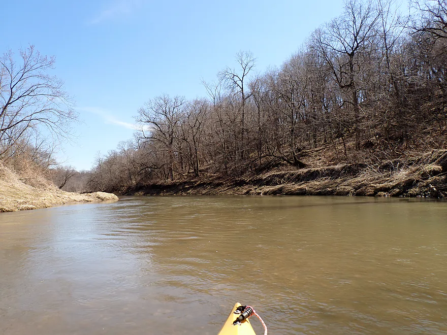
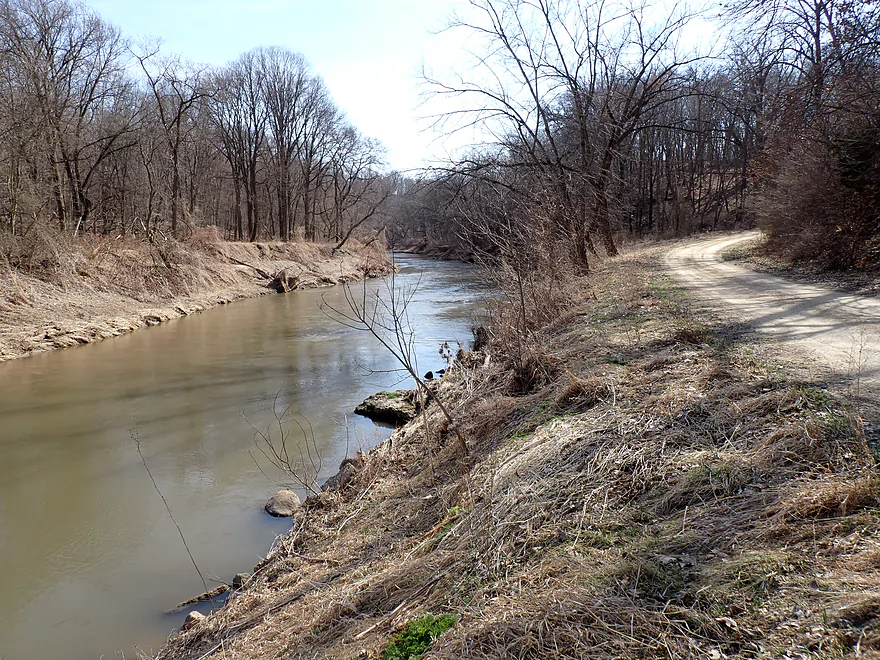
- Candy Cane Park/Dyersville to Rockville Road: 6.6 miles. A mediocre stretch that is pleasant but not as scenic as downstream legs. The lack of outcrops was disappointing and the bank quality was poor. It’s not a bad leg though.
- Rockville Road to 272nd Street: 2.3 miles. The stretch between Rockville Road and 272nd Street is flat, open and likely boring. I doubt I’ll ever paddle it.
- 272nd Street to 305th Street Corner: 6.3 miles. A fantastic leg and maybe the best on the North Fork. Includes ~5 miles of narrow canyons and steep valley walls with frequent 50′ cliffs (per paddling author Nate Hoogeveen). Note, 305th Street is not a bridge, but a shoulder and is somewhat speculative as an access. I think you should be alright to use it but stay on the DOT easement between the road and the river. Do not trespass on private property. Do not launch on the east oxbow a thousand feet upstream which is clearly fenced and marked as No Trespassing (see map for details). Bike shuttlers beware….this route is hilly, almost all gravel, and the house at 305th Street has two VERY aggressive dogs who will give chase.
- 305th Street Corner to Hwy 136: 11.1 miles. This includes a few more miles of scenic valley paddling but isn’t as good of a prospect as the previous leg and is much more open. The Iowa DNR really needs to add more river access points in this area.
- Hwy 136 to the Cascade Riverfront Trail: 3.1 miles. This stretch includes some rapids, but also some flowage paddling from the Cascade Dam. Paddling author Nate Hoogeveen was not impressed with this leg.
- Cascade Riverfront Trail to Cascade Riverview Park and Amphitheater: 630′. This mini-leg goes over a dam and the remnants of Cascade Falls. These are Class 3 rapids that should only be run by expert paddlers and scouted ahead of time (easy to do by the Amphitheater). The west side of the rapids look like a nasty low-head dam, but the east side descends in smaller ledges and would be runnable by those that know what they’re doing. Note, the Amphitheater is a poor access because of a limestone wall that separates it from the river.
- Cascade Riverview Park to Hwy D61: 7.8 miles.
- Cascade Riverview Park to Cascade Limestone Silo: 677′. A fun whitewater stretch with Class 2 rapids and a foot-high ledge. The Silo is a MUCH better access than Riverview Park.
- Cascade Limestone Silo to Riverview Ridge Campgrounds – North Access: 1.6 miles. A pleasant open stretch through the outskirts of Cascade. Many light rapids and good clarity, but no outcrops. You must get permission from Riverview Ridge Campground to use their access.
- Riverview Ridge Campgrounds – North Access to Riverview Ridge Campgrounds – South Access: 1.8 miles. A fantastic stretch through narrow valleys and by scenic bluffs with frequent outcrops and boulders. Again, you must get permission from Riverview Ridge to use either of their access points (which are usually used by tubers).
- Riverview Ridge Campgrounds – South Access to Whitewater Creek Mouth: 4.0 miles. Includes one mile more of very scenic bluffs, but then opens up and flattens out. The river is still pleasant but no longer elite and large degraded farm banks become a common sight.
- Whitewater Creek Mouth to Hwy D61: 2000′. This is an upstream slog up Whitewater Creek to reach the Hwy D61 access. Depending on water levels, this may be a bit tricky as the current isn’t slow. Wading parts of the creek or even just simply portaging the entire creek via the adjacent cornfield might be recommended.
- Whitewater Creek Mouth to 21st Ave/Ozark Bridge: 12.1 miles. A very good leg with many steep wooded bluffs. The only downside is it is a long stretch with no intermediate take-out options. Some paddlers camp on this stretch and make it a two-day trip. Where you can legally camp and not, I don’t know. Here’s a youtube video of a kayak trip on this leg.
- 21st Ave/185th Street Bridge to 60th Ave: 4.4 miles. A terrific leg through the Ozark Wildlife Area with fantastic steep bluffs and large boulders.
- 60th Ave to Benard Road/Crab Town Bridge: 2.8 miles. A good leg with bluffs, but not as scenic as the previous legs.
- Benard Road/Crab Town Bridge to 109th Ave: 2.5 miles. After Benard Road, the North Fork loses a lot of its charm and scenery. This leg should be ok, but is more open and nothing special.
- 109th Ave to Bridgeport Access: 18.4 miles. The following lower stretches of the North Fork are inferior and not as scenic as the upper stretches.
- 109th Ave to 150th Street: 4.9 miles. A generic open leg that flows by large farm fields. There are nice sandbars on this stretch though.
- 150th Street to Hwy 61: 4.4 miles. A generic stretch.
- Hwy 61 to the Davison Bridge Access/212th Ave: 2.4 miles. Scenic Class 2 rapids are located downstream from Hwy 61. This leg is more wooded and hilly. It may even have a few outcrops.
- 212th Ave to Rockdale Road: 6.3 miles. A generic leg.
- Rockdale Road to Mouth on Maquoketa River: 0.3 miles. This leg passes a massive quarry.
- Maquoketa River to Bridgeport Access: 2.5 miles. The river grows significantly from the confluence of the North Fork and Main branch. This leg likely isn’t special, but does appear to have a few nice sandbars.
Trip Map
Overview Map
Video
Photos Size: