
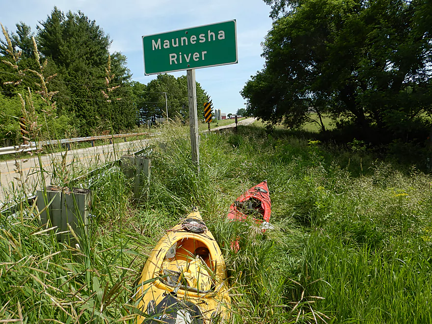
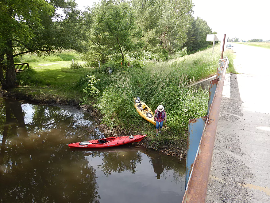
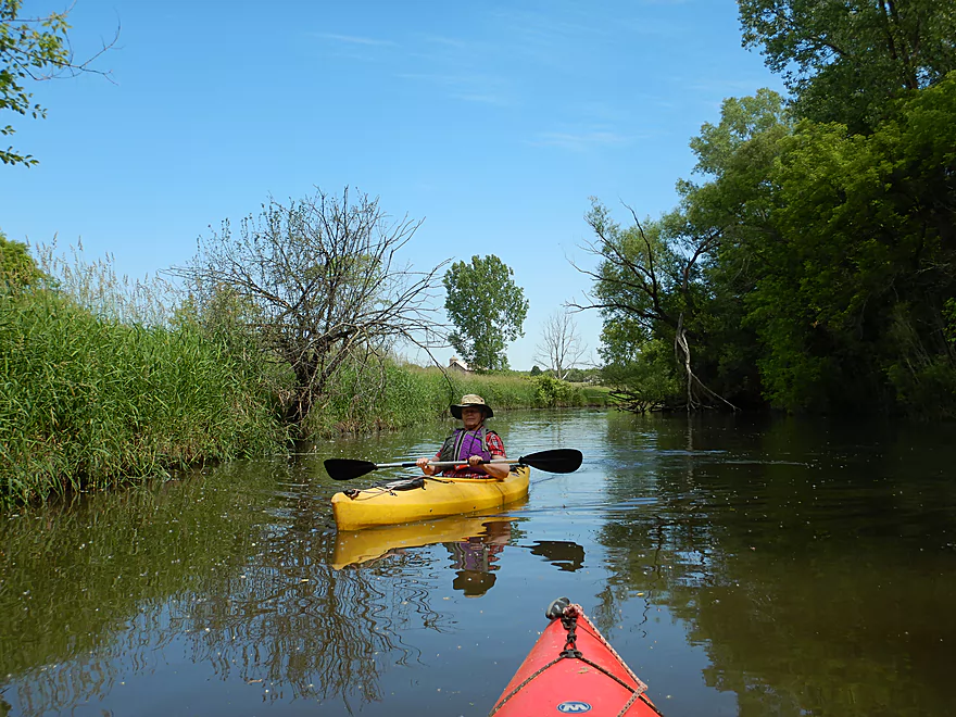
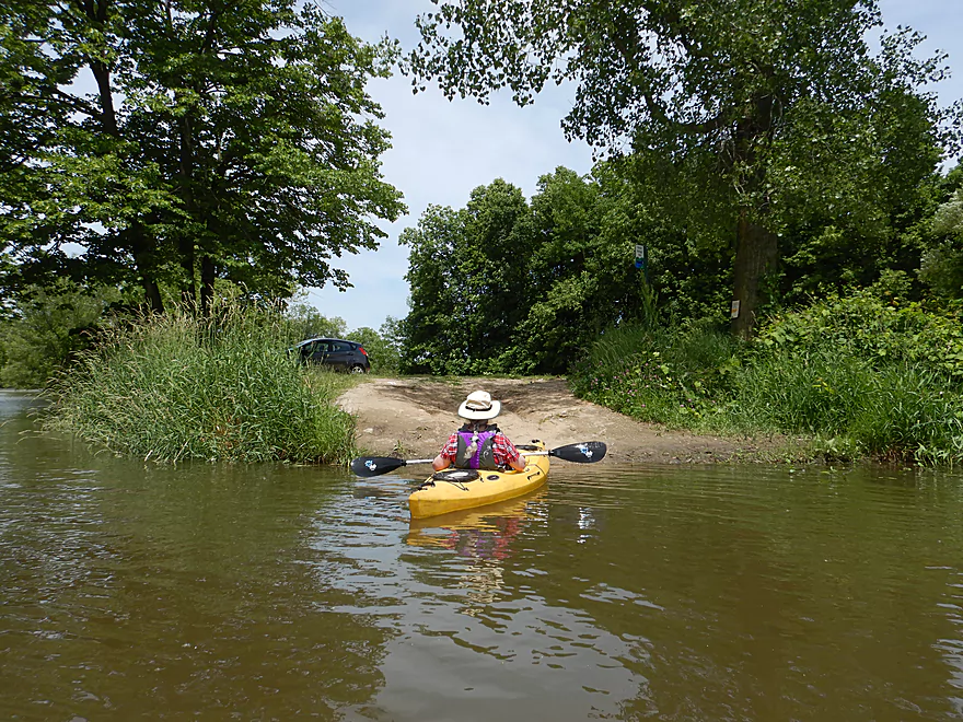
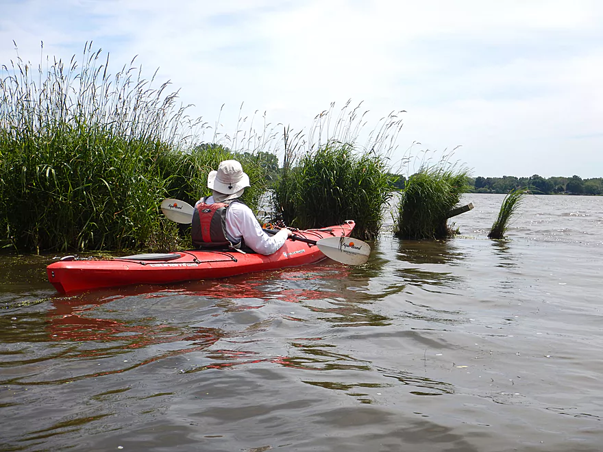
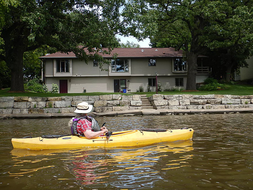
Putting in at Hwy TT
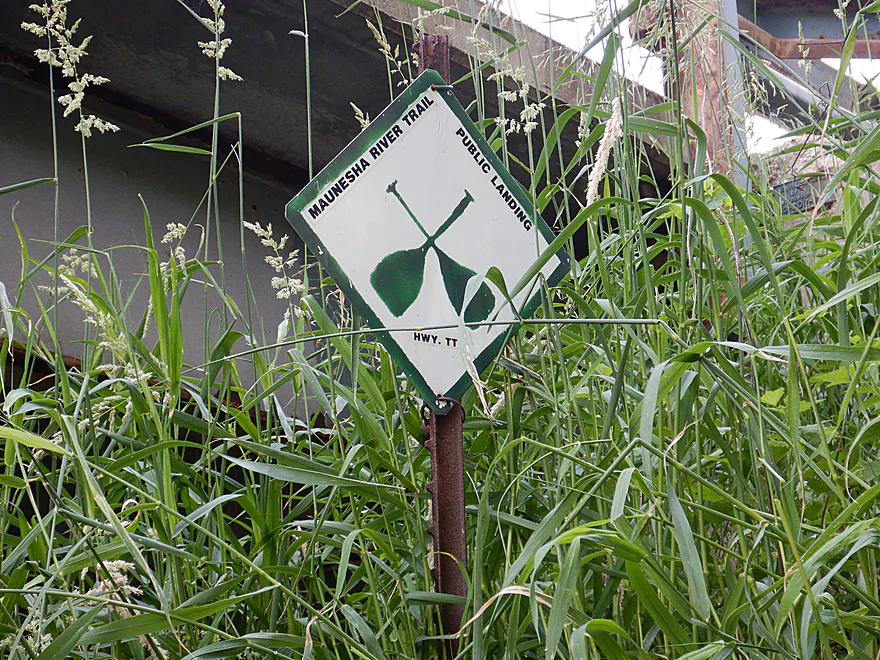
Where there is an official landing
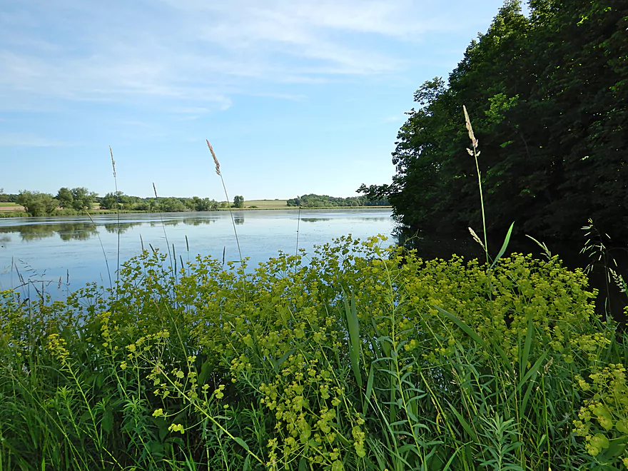
But you wouldn’t know it from the weeds
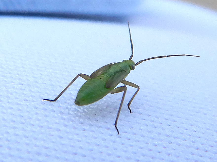
Friendly hitchhiker
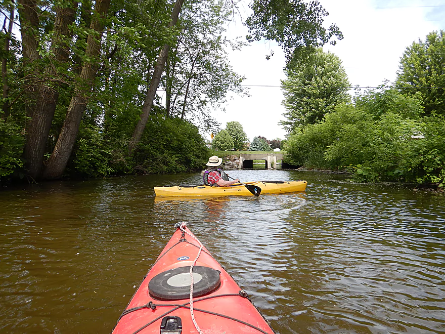
Lot of great chainsaw work in the first mile
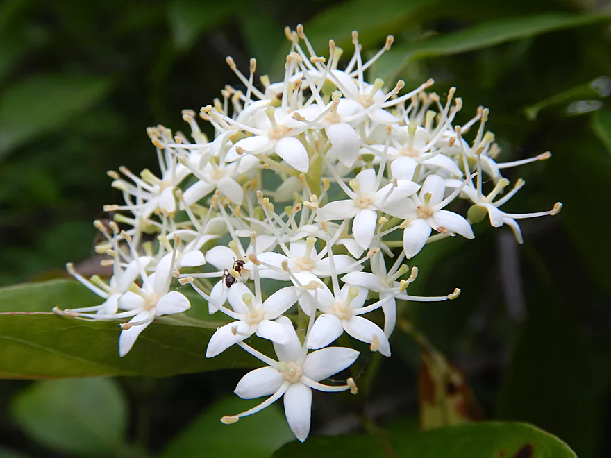
Silky dogwood
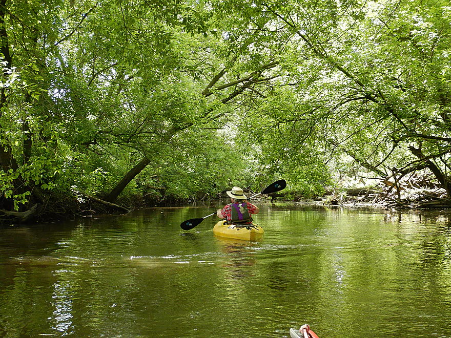
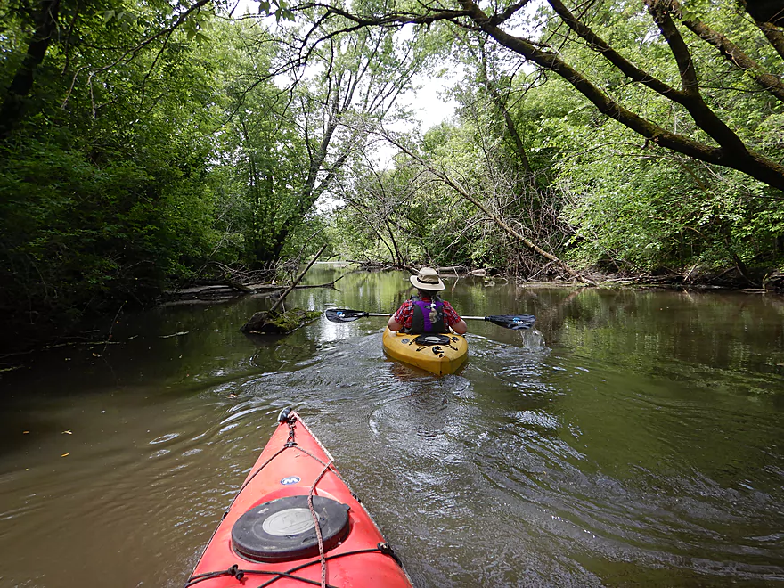
Some nice woods to start
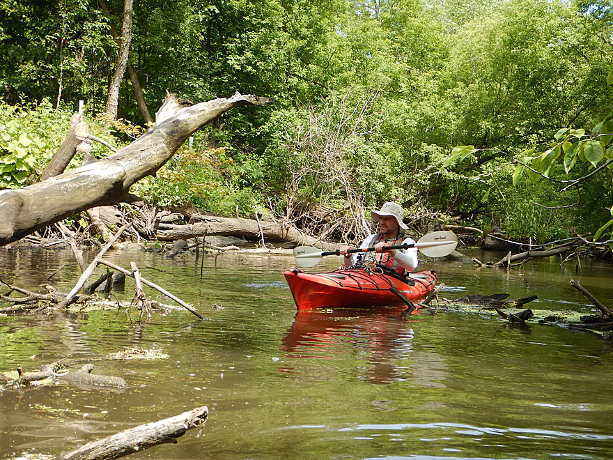
But this does mean some debris dodging
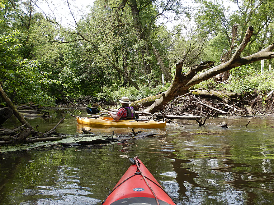
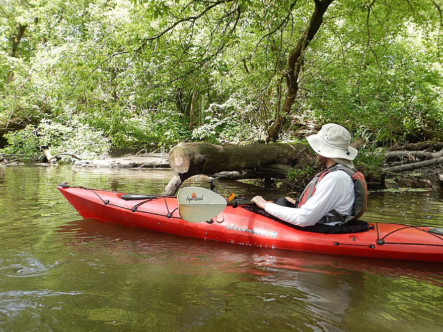
Always a way through
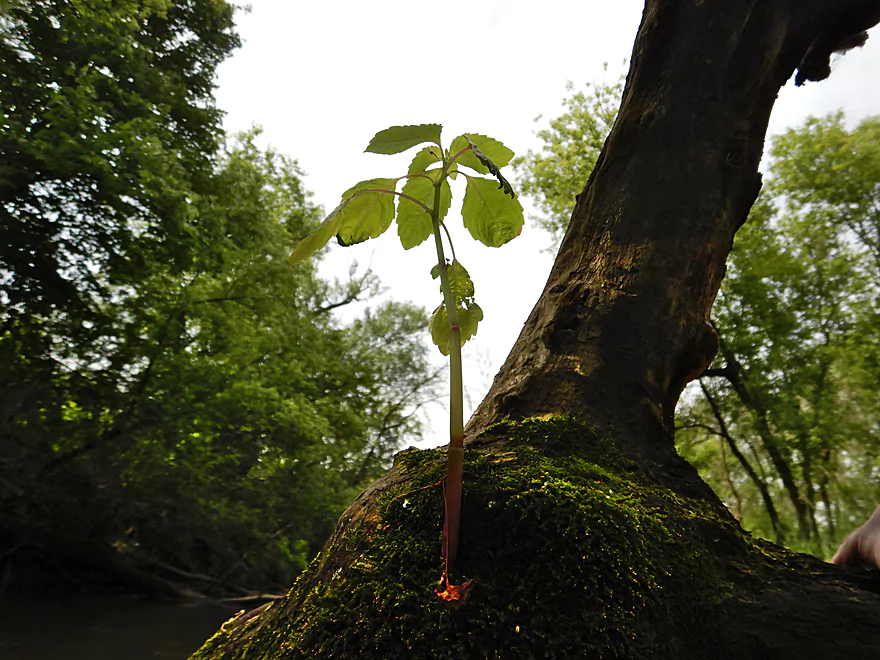
Little guy growing on the big guy
Brown murky water
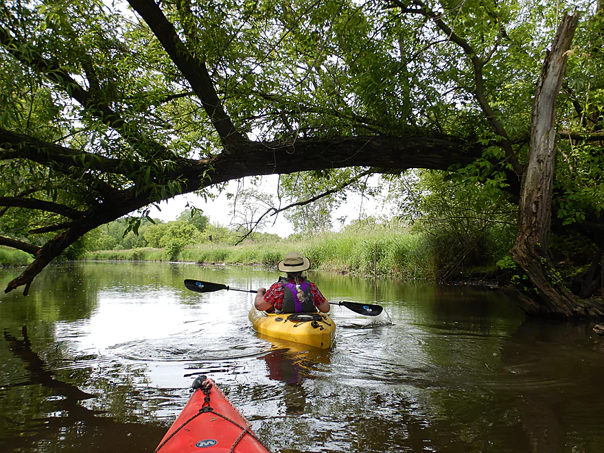
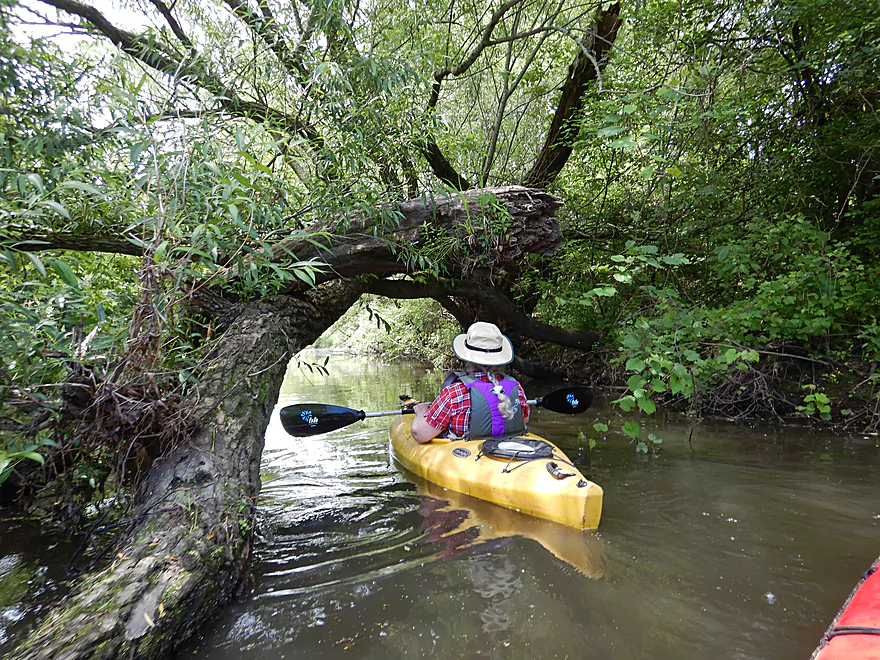
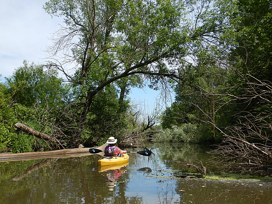
Tree arches are always photogenic
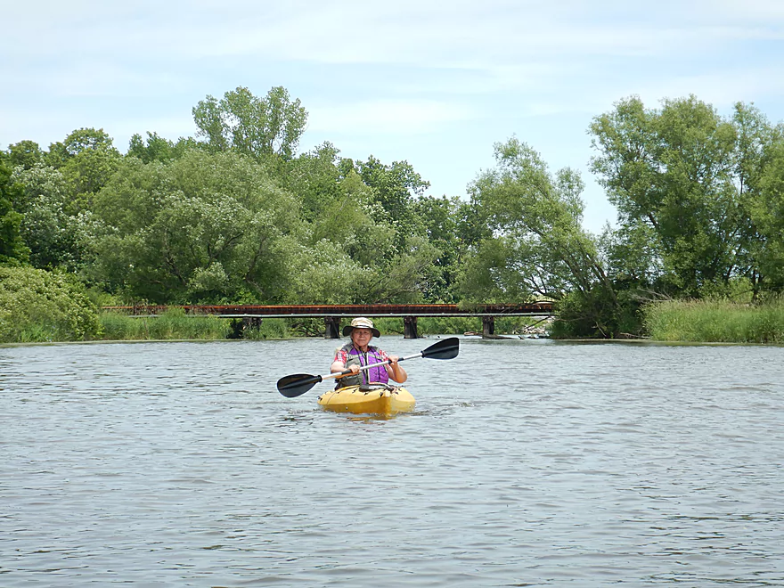
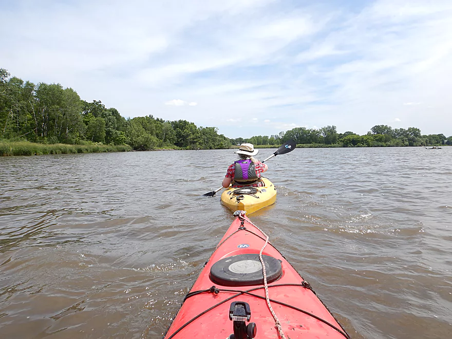
River starting to open up
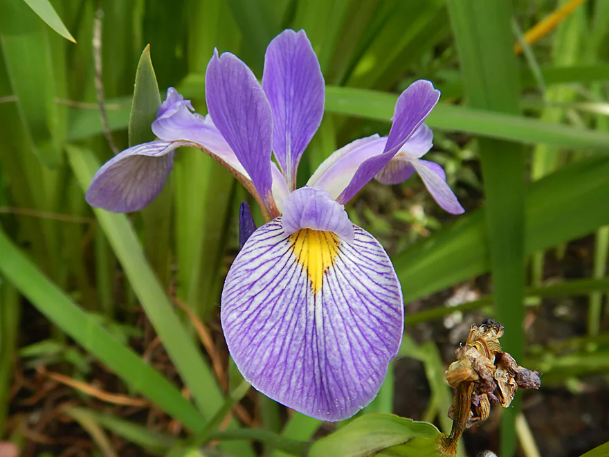
Wild Iris
Many cottonwood fuzzies on the surface
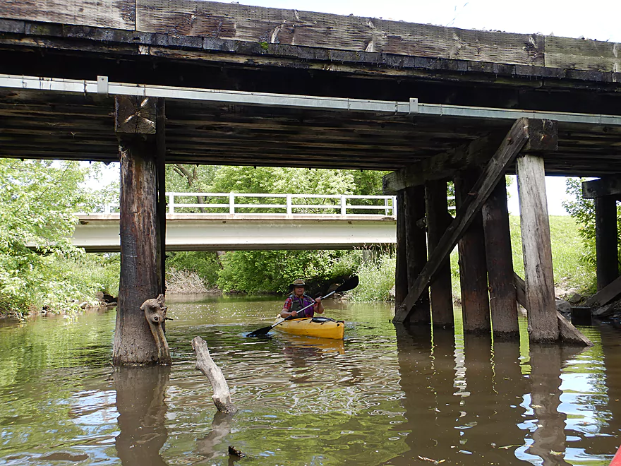
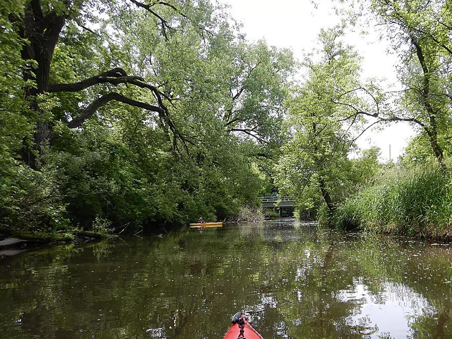
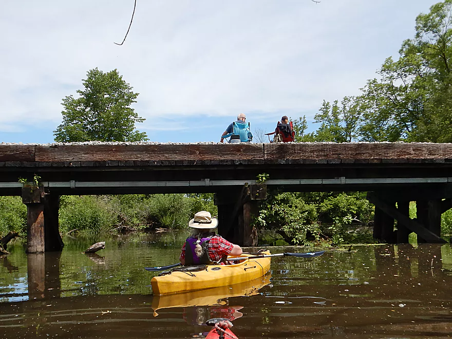
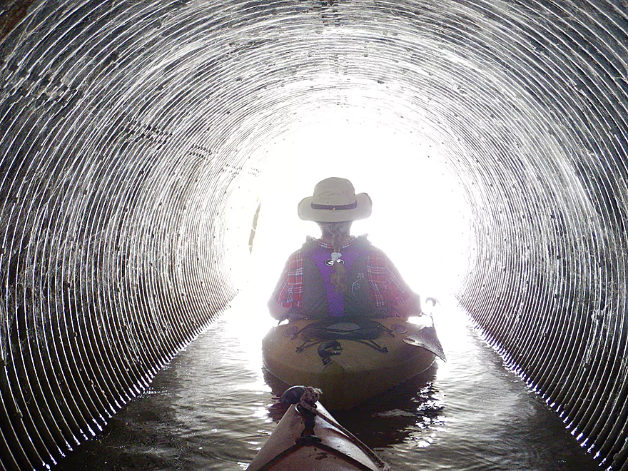
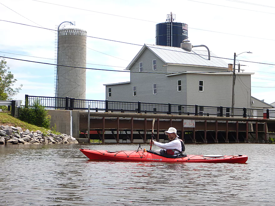
Passing under Canal Road and an adjacent RR bridge
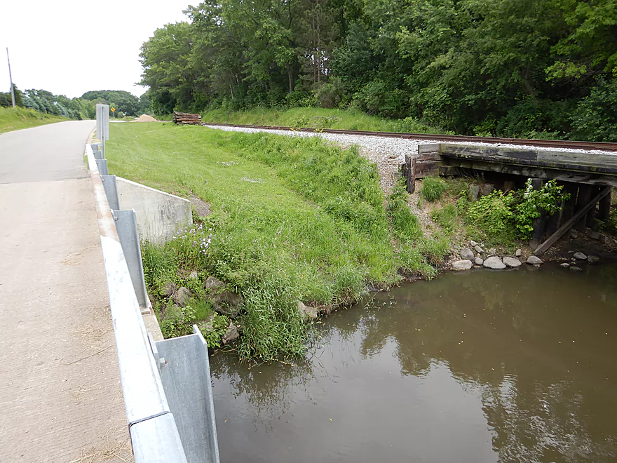
Looks like a perfect access
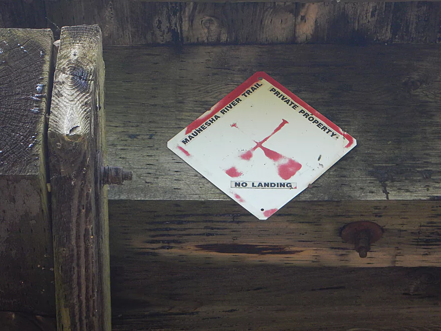
But a sign on the railroad says otherwise
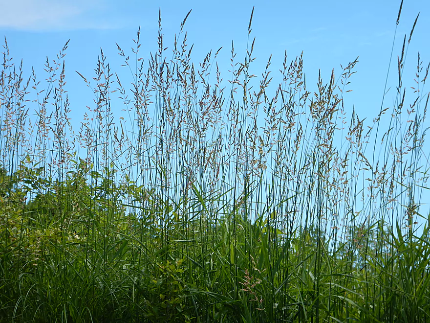
Lot of invasive reed canary grass
River starts to widen and slow
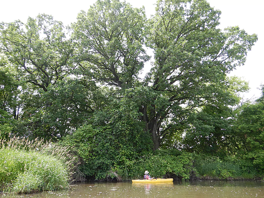
Massive oak…reminiscent of the lower Maunesha
Kind of a beat-up section
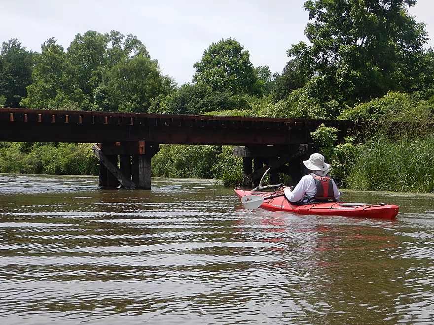
Fishing from a railroad bridge…looks risky
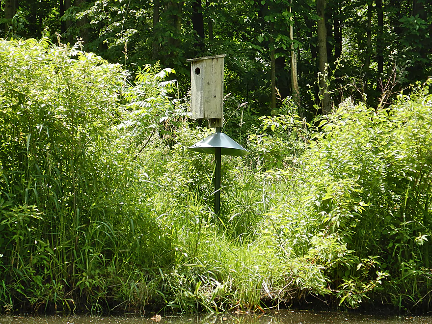
It’s a raccoon guard
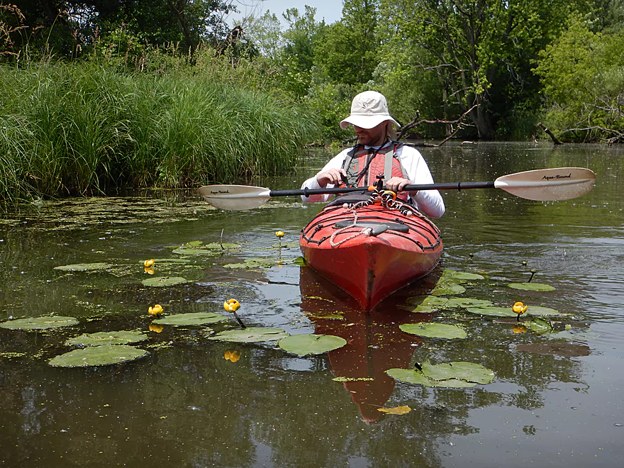
Some nice lilies on the trip
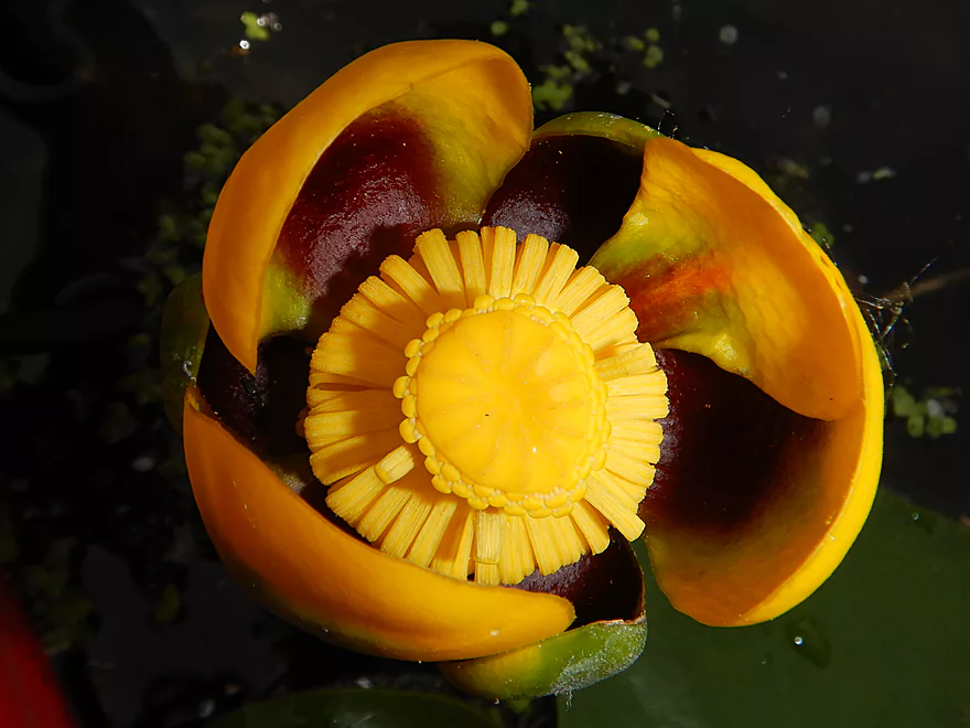
Close-up
We’re now officially on the canal portion of the river
There is a public landing by Canal Road
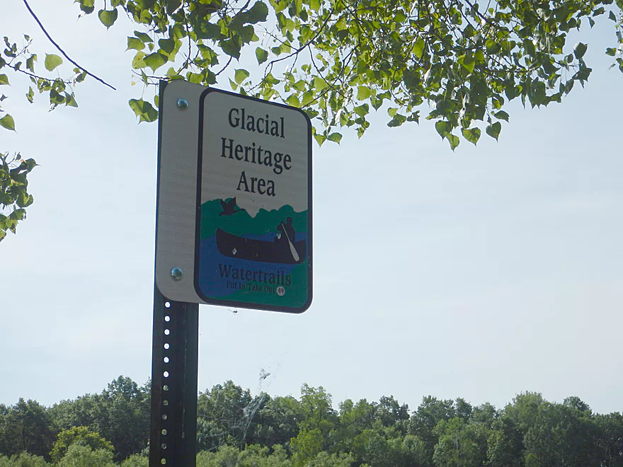
Part of the Glacial Heritage Area
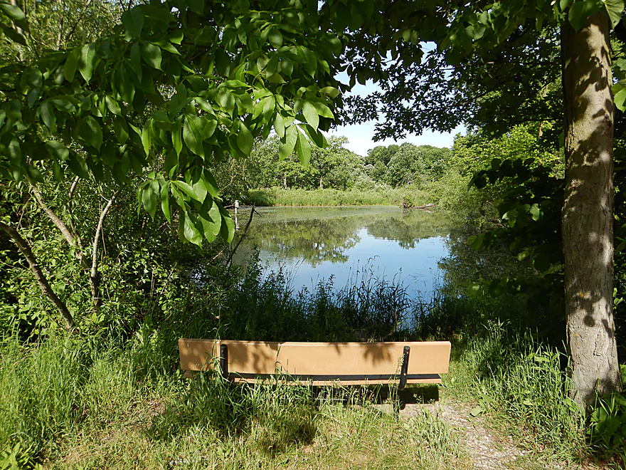
Nice little wayside with a view of the river
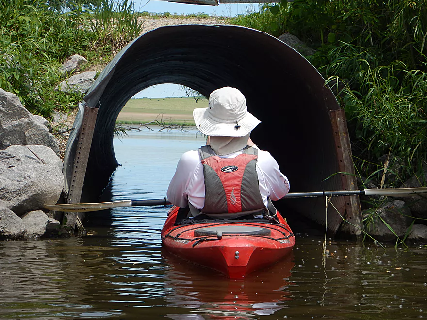
Paddling under Canal Road reveals…
The remnants of a Maunesha River oxbow (now just a lake created by the canal)
Bit mucky but a nice lake
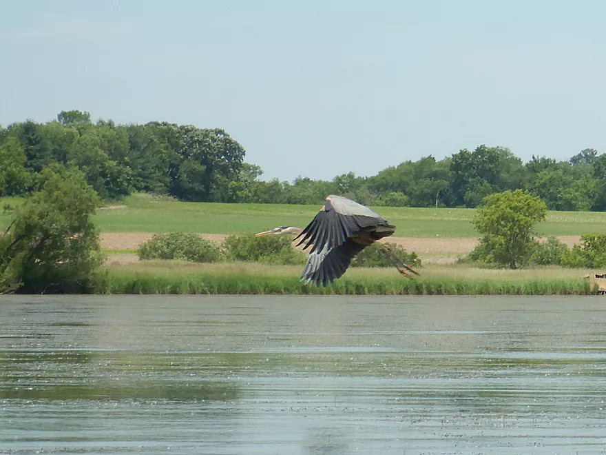
Great blue heron
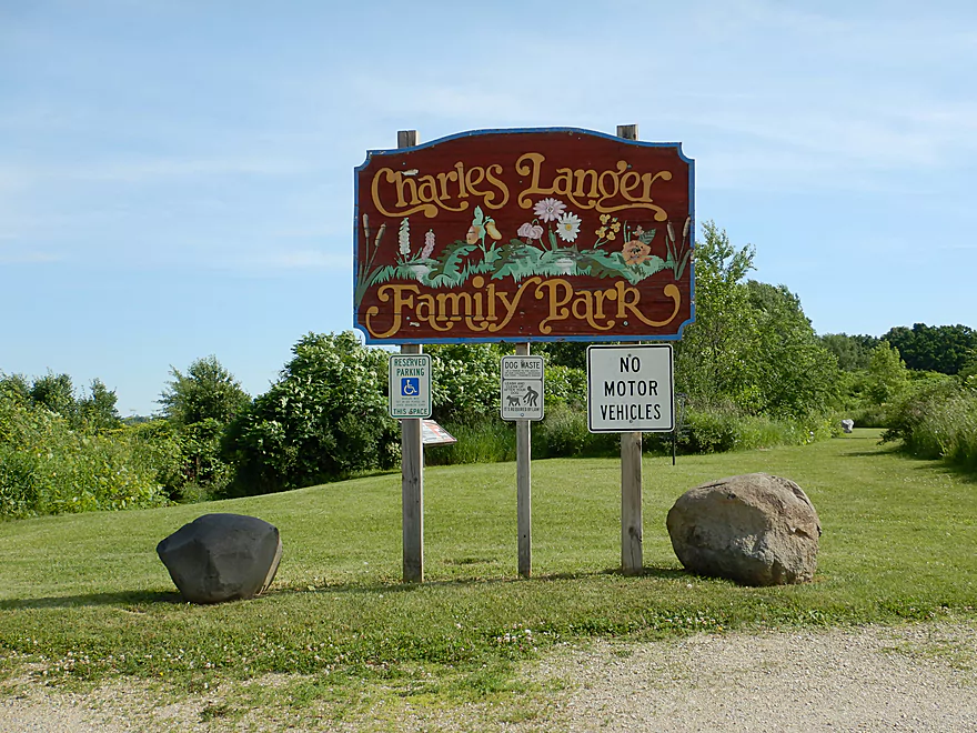
Next to the lake is Charles Langer Park
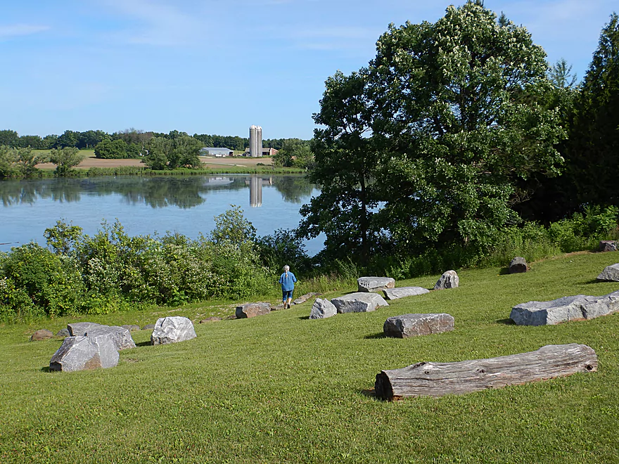
Which has a really cool natural amphitheater
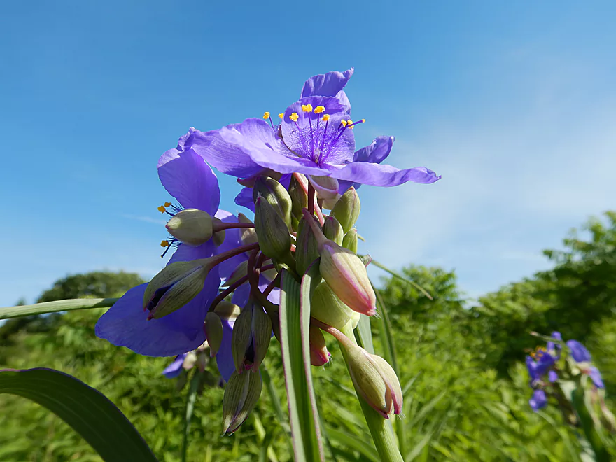
It’s also a great spot for macro photos…this is spiderwort
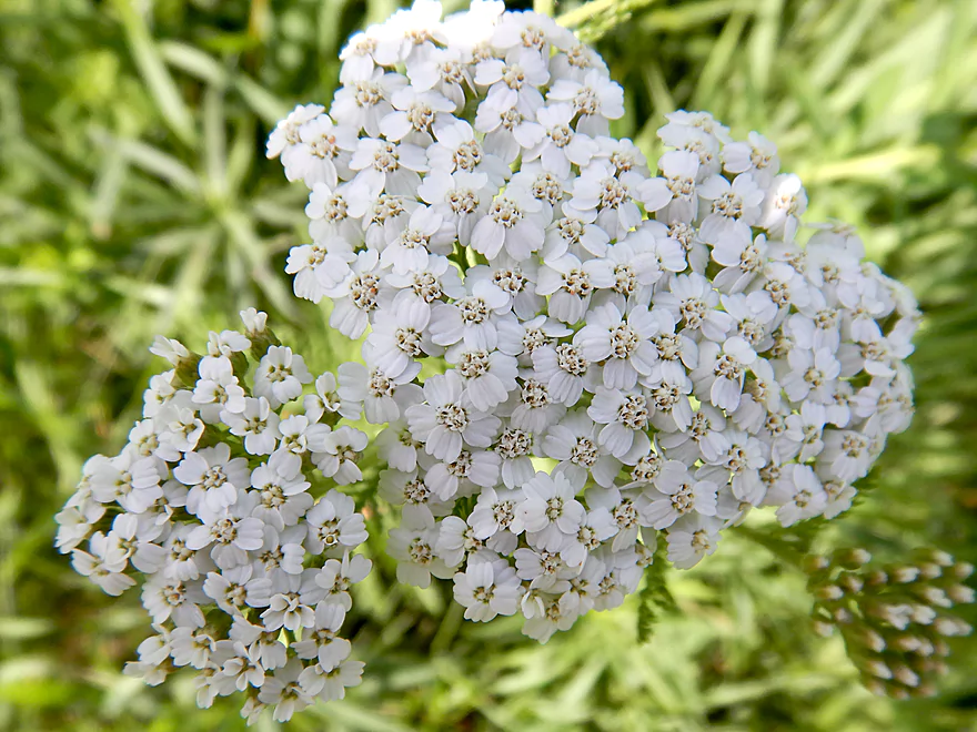
Yarrow
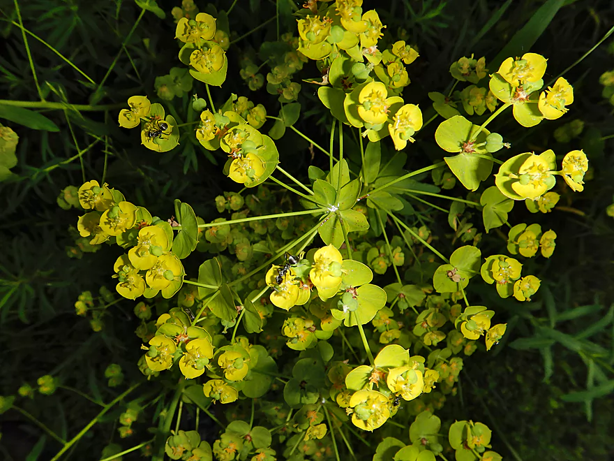
Leafy spurge (invasive but attractive)
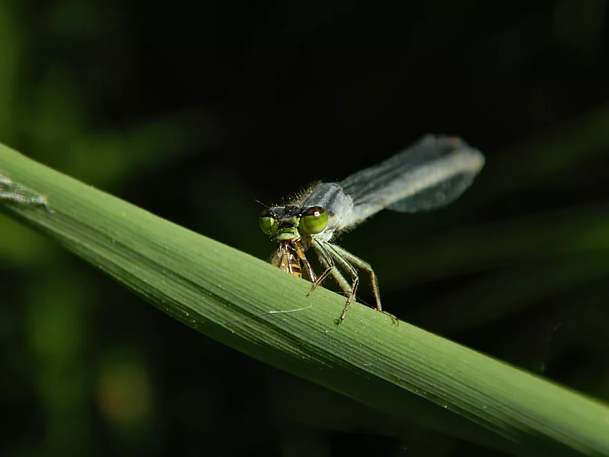
This damselfly is eating a wasp (or bee)
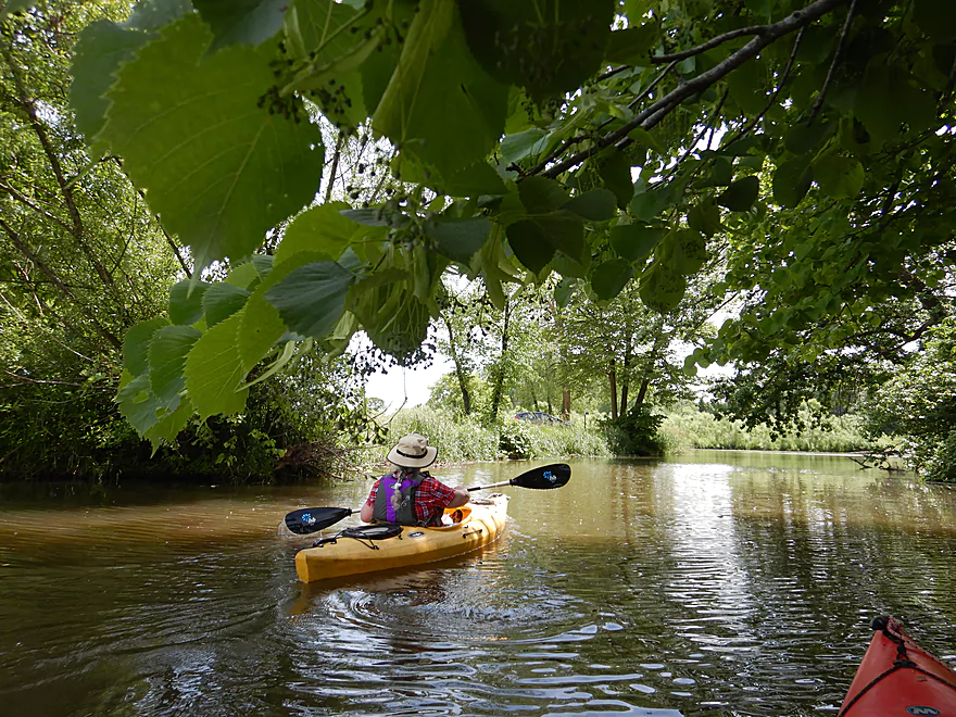
Paddling into the light (well back to the main river at least)
Passing under the railroad tracks for a third time
Where there is a nice little bay
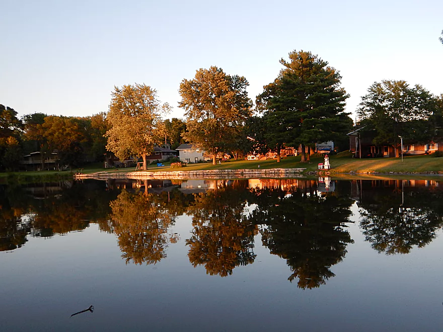
Entering Marshall Millpond
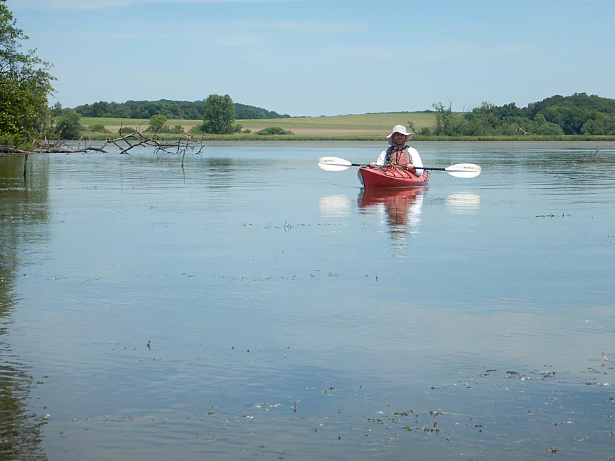
It’s lake paddling from here on
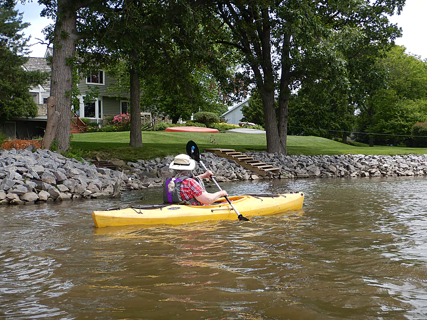
The shoreline was heavily developed and riprapped
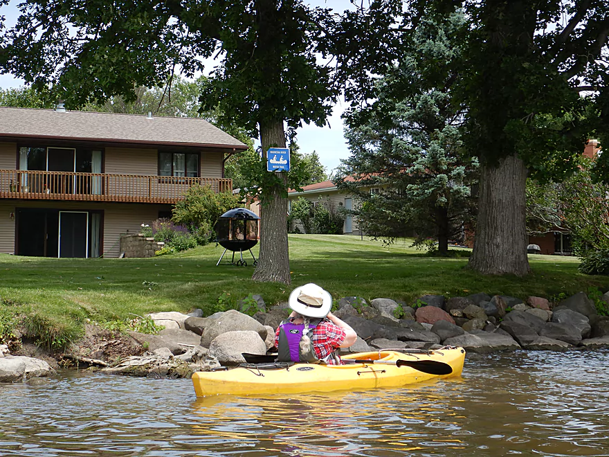
Maunesha River Water Trail sign
Some fancy landscaping
Best to hug the shoreline to stay out of the wind
Dead-end…time to turn around
Not your normal chair
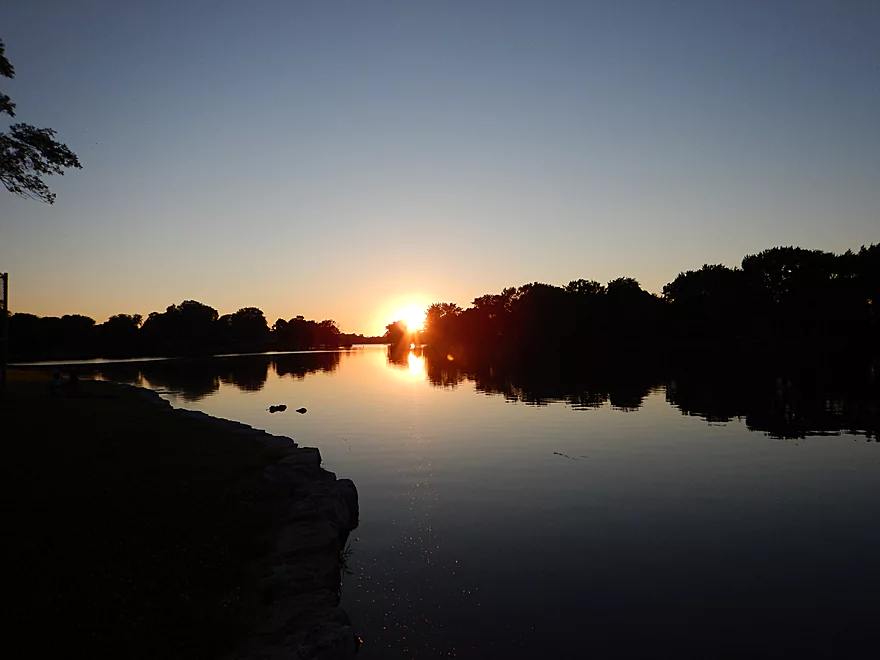
Firemen’s Park can be very photogenic at dusk
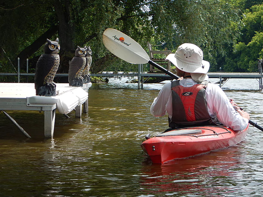
Being spied upon
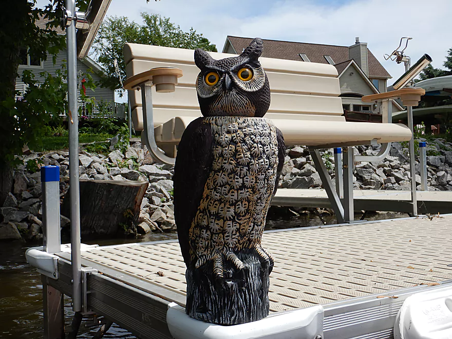
The heads would rotate…likely designed to spook birds
Approaching Hubbell St., the dam and the old mill
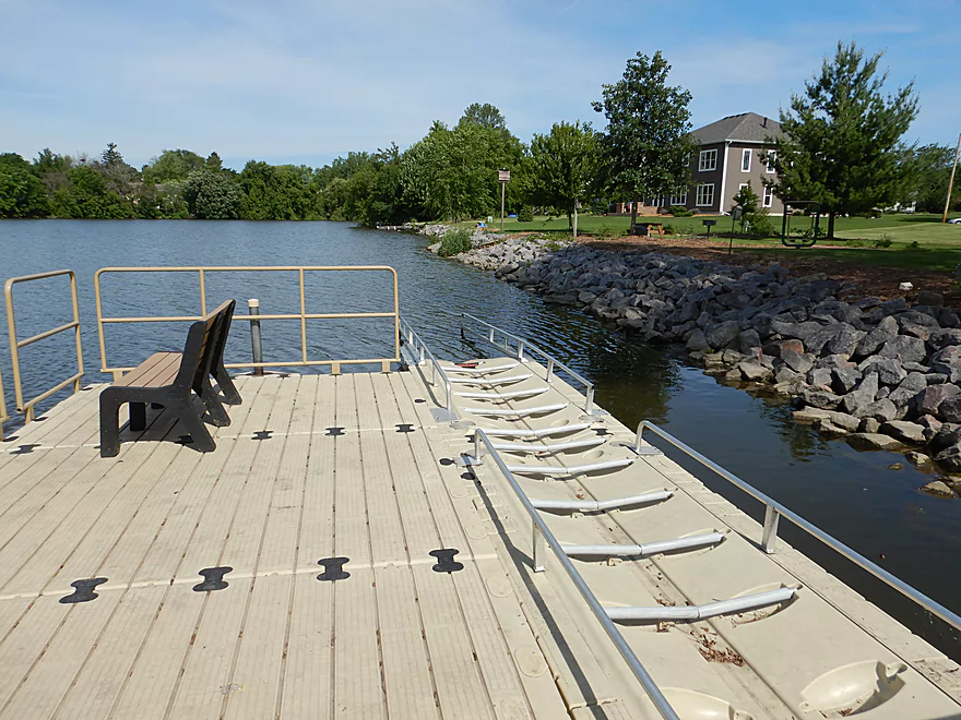
At Lion’s Park there is a great kayak launch

Really easy to pull yourself up
And then drag your boat over the dock to the park
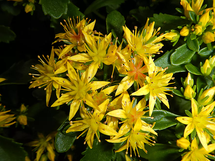
Yellow sedum–one of the many flowers at the park
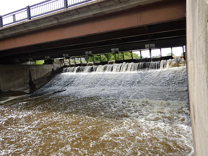
Scouting the dam
Saying goodbye to the Maunesha
Maunesha River – Hwy TT to Lion’s Park

Previously on this blog I paddled the Maunesha from Marshall to Waterloo. This was a neat river (especially the rapids through Waterloo), but it was a trying trip because of the logjams (not to mention my Suburu getting stuck). Fast forward four years and locals have done some impressive cleanup work on the river. In March a group cleared out the upper Maunesha from Hwy TT to Marshall and plans include future cleanups of the five significant logjams between Marshall and Waterloo.
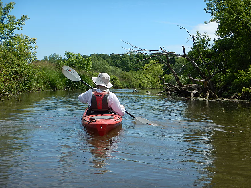
The goal for this trip was to explore the upper Maunesha upstream of Marshall. We started at Hwy TT which is marked as an official launch, but you wouldn’t know it from the tall grass. Here the channel ran quite cold fed by numerous underground springs. In fact parts of the upper Maunesha don’t freeze in the winter because of them and there are rumors of quicksand (none of which we encountered…might be more of a Deansville Marsh phenomenon.
The next half mile was densely wooded with shady trees arching over the river. Most of the trees were the messy type that like to find their way into the water (boxelder, willow, silver maple, ash) and it was here most of the cleanup work had taken place. In fact according to a local that we talked to, the first two railroad bridges were so clogged with debris before the cleanup they looked more like beaver dams. Now while there is still some debris in the water, there is always a path through.
After Canal Road, the river starts to open up, with more grassy edges and hints of a marsh. The river here was ok for paddling but not super interesting because of the slow current and brown muddy water. Often the channel was quite deep and exceeded five feet.
The river then parallels Canal Road which marks the spot where a canal was created. Basically the river used to arch much further north to form a significant oxbow, but local farmers “beheaded” it by creating a shortcut canal to the east. This sped up the river which improved farm field drainage, and all that remains today of the old channel today is a lake.
Soon we came across a public wayside and Charles Langer Park which is a pretty neat park. Much of it is a disc golf course, but it also consists of public trails and some restored prairie. This was a great spot for macro photography because of all the insects and flowers. To the west is the old river channel which is again just a dead-end lake that connects to the main river via a small culvert. Just north of the parking lot there was a large natural amphitheater with large rocks for seats. With a fantastic view of the adjacent lake it’s a really neat spot and I suspect weddings are held here.
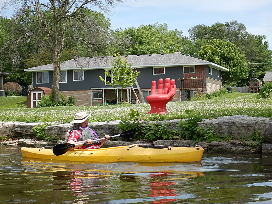
Following the park, the river widens out into Marshall Millpond which is created by the Marshall dam. The banks along the lake are heavily developed with significant riprapping. Many of the lakeshore homes were expensive and ornately landscaped…some had creative touches (see photo gallery).
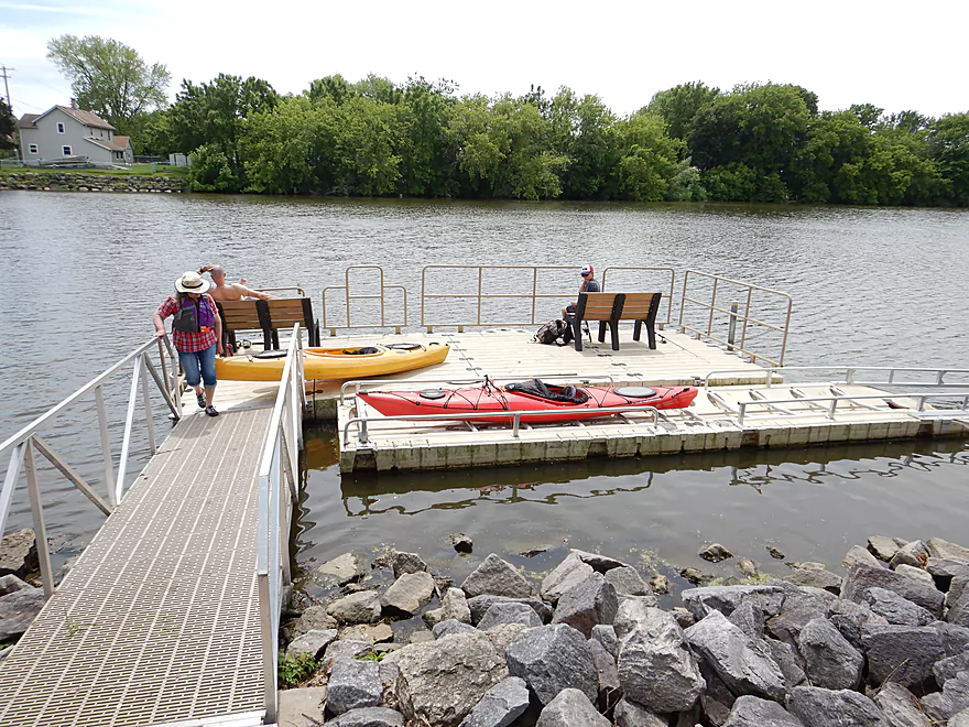
There are various take-out options along the lake and in Marshall, but we chose Lion’s Park as it was the closest to the dam and nearest to where we started our last trip. What’s unique about the park is its dedicated kayak launch…basically a ramp with rollers at the bottom. This worked really well and I wish more parks had these.
In summary this wasn’t a super interesting trip, but it did have its moments and local paddlers will appreciate it.
Sights included a great blue heron, several painted turtles, and some splashing carp. Near the end of the trip were several “owls” perched at the end of a dock. These were actually plastic replicas but pretty decent-looking and their heads even swiveled with the wind. Interesting plants included occasional clumps of blue flag, several small colonies of bullhead lilies, and several clumps of silky dogwood in bloom. The highlight was a damselfly eating a bee, which I was able to get macro photos and a video of.
We started at Hwy TT where there is an official launch area, but it was kind of weedy and really more of just a bridge access. It was quite suitable though. Note, there is an adjacent lawn and dock…but don’t launch here as this is private property.
We took out at the Lion’s Park near the dam in Marshall. The dock here has a special canoe and kayak launch which was very handy (and fun!). Basically, it’s just a V-trough with rollers on the bottom and side rails for grabbing and pulling yourself up. It makes it super easy to launch or disembark (it helps to get a running start for a take-out). Street parking is available on either Hubbell Street or Waterloo Road. An outhouse is available at the park.
An alternate take-out 1.5 miles upstream would be by Charles Langer Family Park. There is a great launch here and ending the trip here would omit the lake paddling…but it would also cut the trip very short.
There are numerous alternate take-out options along the lake…see map for more details.
The very adventurous could portage the dam to continue onto a downstream leg of the river. The portage would cross busy Hubbell Street and then require skirting the north end of the dam embankment where there is a steep but narrow trail. It then would be easy to launch below the dam where there is a crude public access area. For more information on downstream legs of the Maunesha click here.
We car shuttled, but a bike shuttle would be super easy…flat, paved, and just 3.3 miles.
Logjams: None…these were cleared out earlier this year.
Hazards: Mostly none…this is a pretty safe leg. Just be mindful of the wind speed and direction if you do the lake portion as this is very open.
Current: This starts super slow and then dies once it hits the lake.
There is a gauge on the Crawfish River at Milford, which is about 30 miles downstream of Marshall. While this isn’t a great analogue for the Upper Maunesha, it’s the best I can find.
- 0-200 CFS: Maybe a bit weedy, but should be fine for paddling.
- 201-500 CFS: A typical spring average. Fine for paddling.
- 501-800 CFS: Above average flow rates, but not bad. We did the trip at 550 CFS.
- 801-1200 CFS: High flow rates, but the river should still be plenty viable.
- 1201-1500 CFS: Very high rates. River would be pretty dirty as this point but should still be navigable.
- 1501+ CFS: The river portion might be unpleasant for paddling…but the lake can be paddled at any depth.
Detailed Overview
- Elder Lane to E. Branch Road: 1.8 miles. Likely too many logjams.
- E. Branch Road to Twin Lake Road: 1.1 miles. Likely too many jams.
- Twin Lake Road to Greenway Road: 1.4 miles. Likely too many jams.
- Greenway Road to Hwy TT: 4.0 miles. Passes through the Deansville State Wildlife Area. Logjams are likely a major concern, but some of these should be cleaned out in the process of being cleaned out. Greenway Road is likely NOT a feasible access.
- Hwy TT to Lion's Park: 3.0 miles.
- Hwy TT to Charles Langer Family Park: 1.4 miles. Slow current, a bit muddy and partly wooded. This was recently cleared of logjams.
- Charles Langer Family Park to Lion's Park: 1.5 miles. A lake paddle on Marshall Millpond. The banks are heavily developed but still somewhat interesting.
- Marshall Dam to Cherry Lane: 4.0 miles.
- Dam/Waterloo Road Access to Waterloo Road Bridge: 1.4 miles. A wider and more open section of the river.
- Waterloo Road Bridge to Cherry Lane: 1.6 miles. Nice wooded section.
- Cherry Lane to Waterloo Firemen's Park: 5.3 miles. A very nice stretch. The first third flowed through a nice woods with thick gravel substrate. The second third is a more open paddle through a former flowage. The last third flowed through downtown Waterloo and contains many fun rapids.
- Waterloo Firemen's Park to Hubbleton Road Landing: 6.4 miles.
- Waterloo Firemen's Park to Hwy 19(1st bridge): 1.2 miles. A scenic wooded stretch.
- Hwy 19(1st bridge) to Hwy 19(2nd bridge): 2.0 miles. A very cool wooded stretch that is quite scenic.
- Hwy 19(2nd bridge) to Hubbleton Road Landing: 2.3 miles. River is wider, more open, and somewhat less interesting compared to upstream sections.
- Hubbleton Road Landing to Hwy BB: 0.9 miles. A short but simple stretch on the Crawfish. There are nice boulders in the river near BB.
Trip Map
Overview Map
Video
Photos Size: