
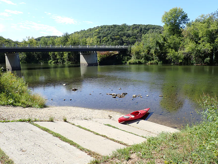
Great put-in at Hammond
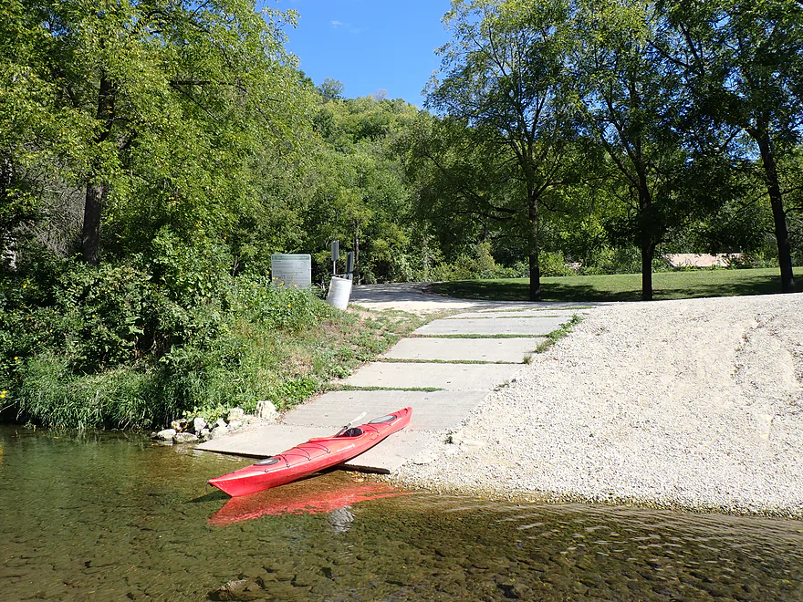
Reverse view
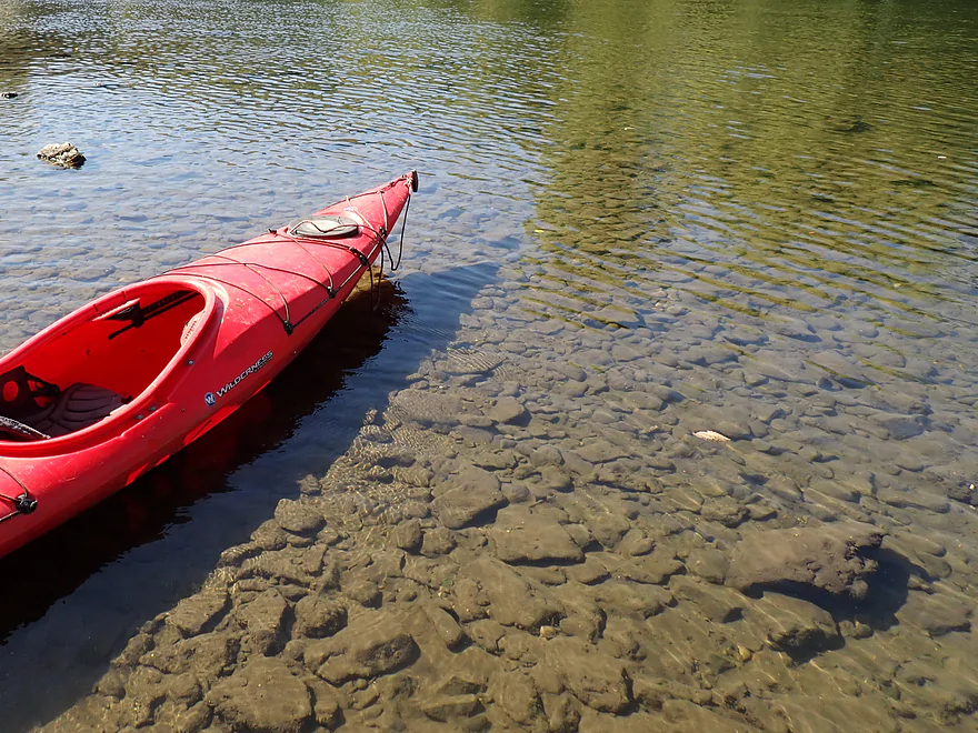
Great clarity
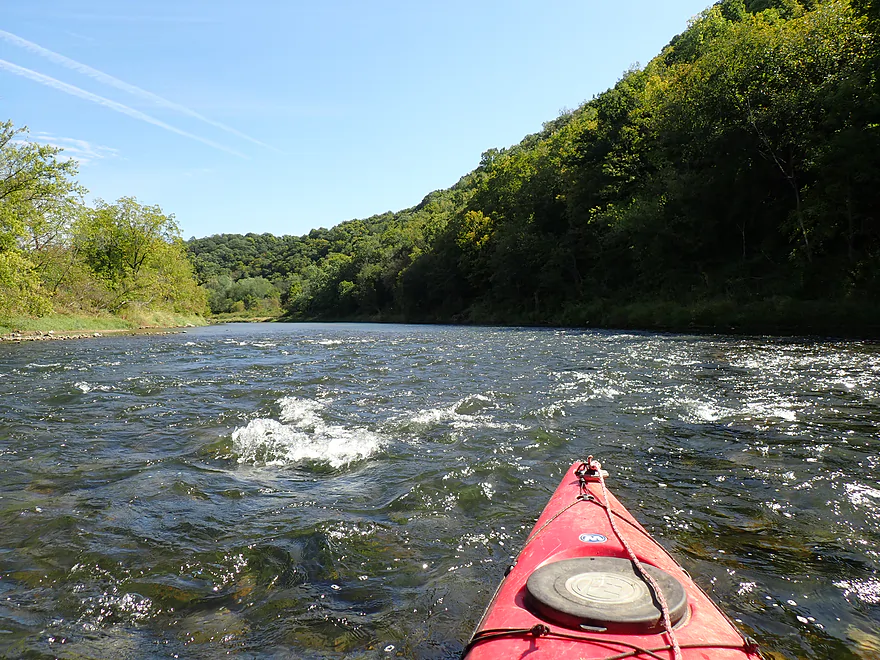
Fun pitch of rapids to start
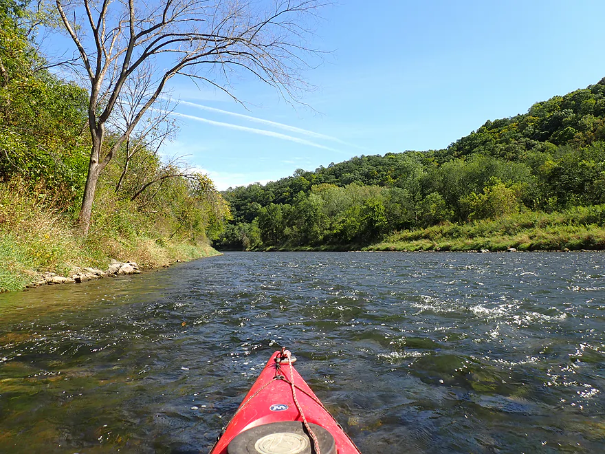
Second pitch of rapids
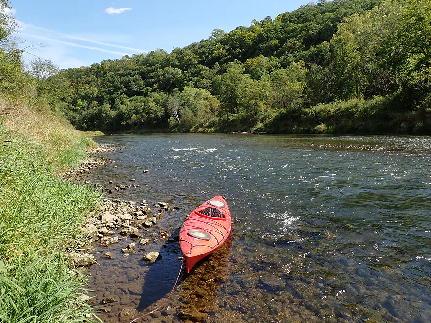
I got out a lot for pictures
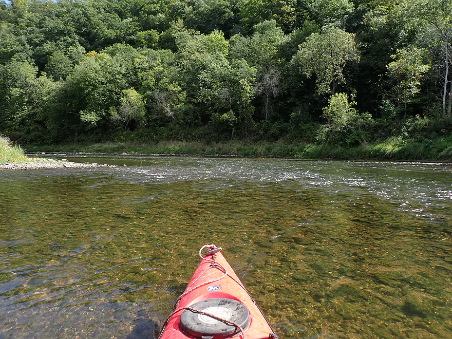
Incredible clarity continues
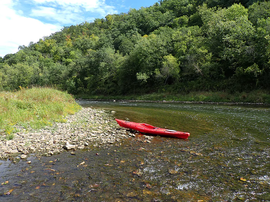
This is Minnesota’s Driftless Country
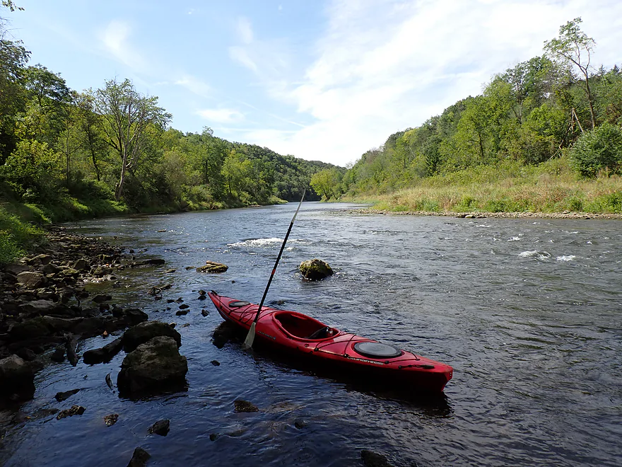
More light rapids
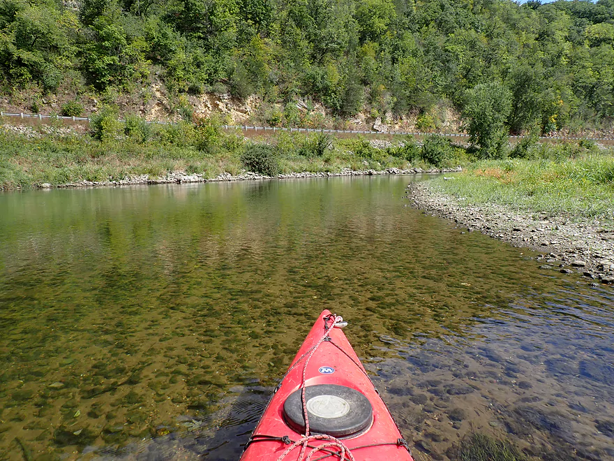
Attractive rocky substrate
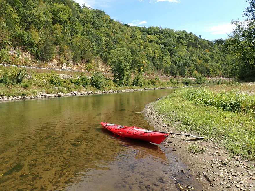
Nice rock faces behind CR 11
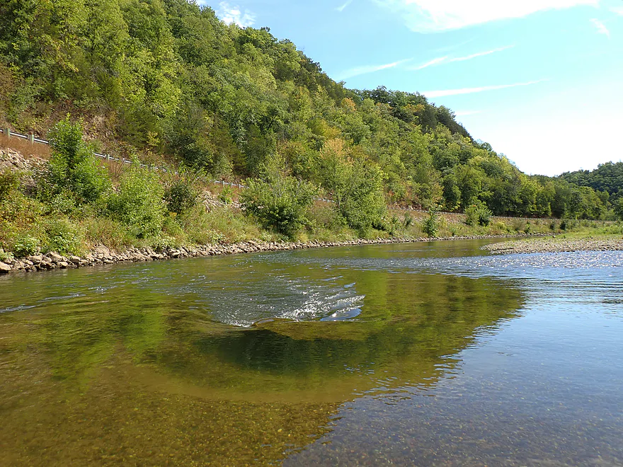
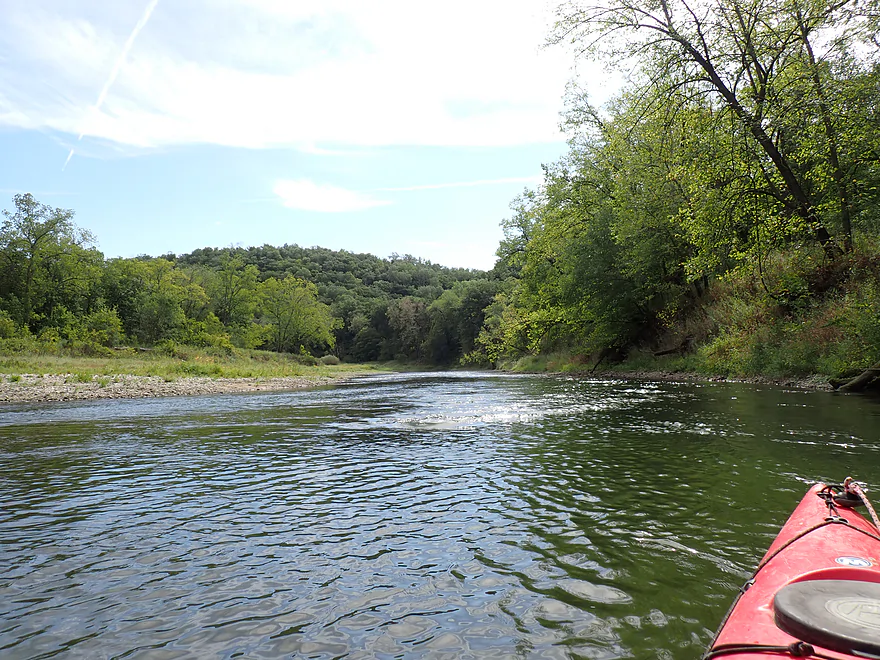
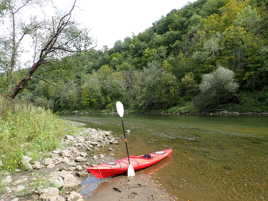
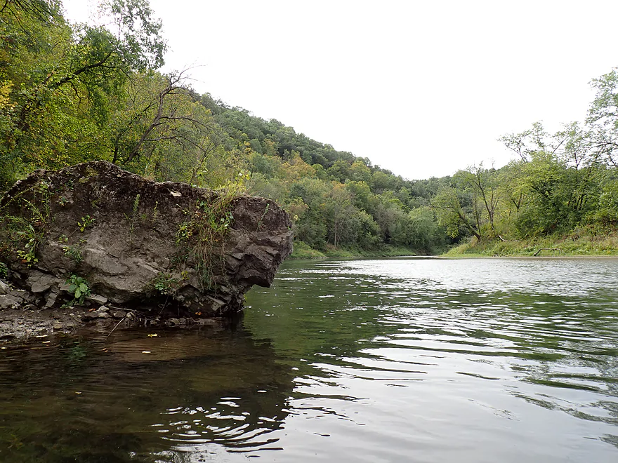
A few nice boulders
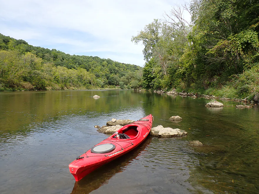
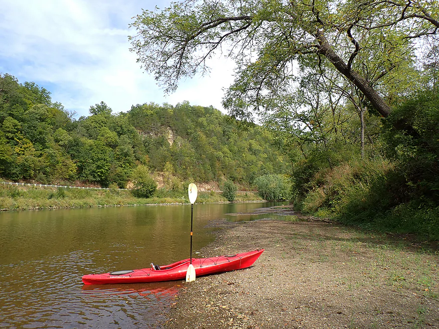
Another scenic river bend
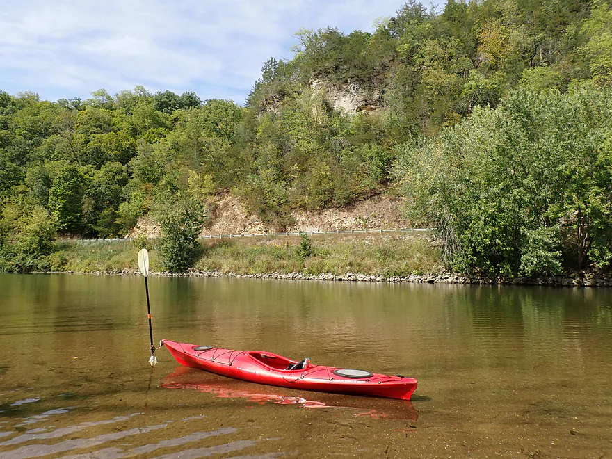
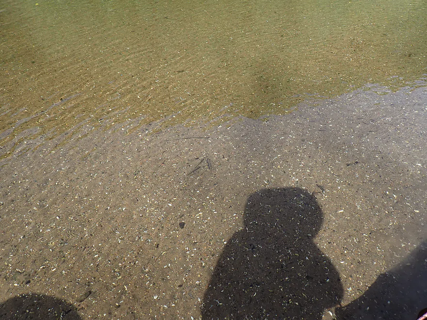
So many snail shells
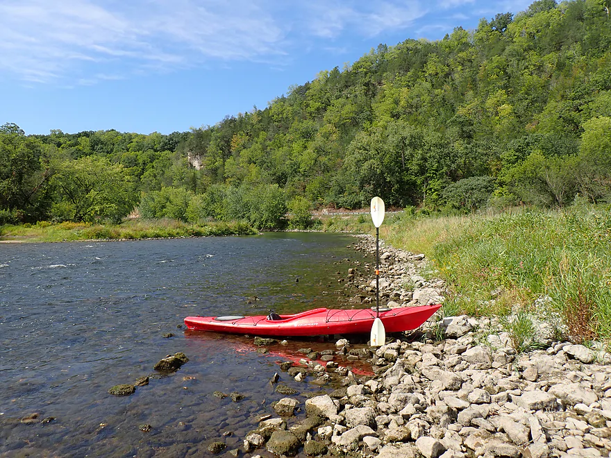
More fun rapids
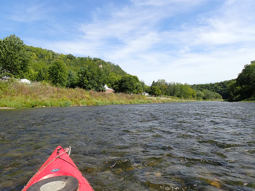
Some shoreline homes…not many though
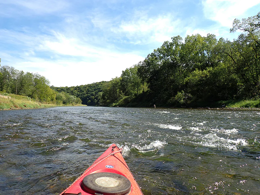

I found a stowaway on my boat
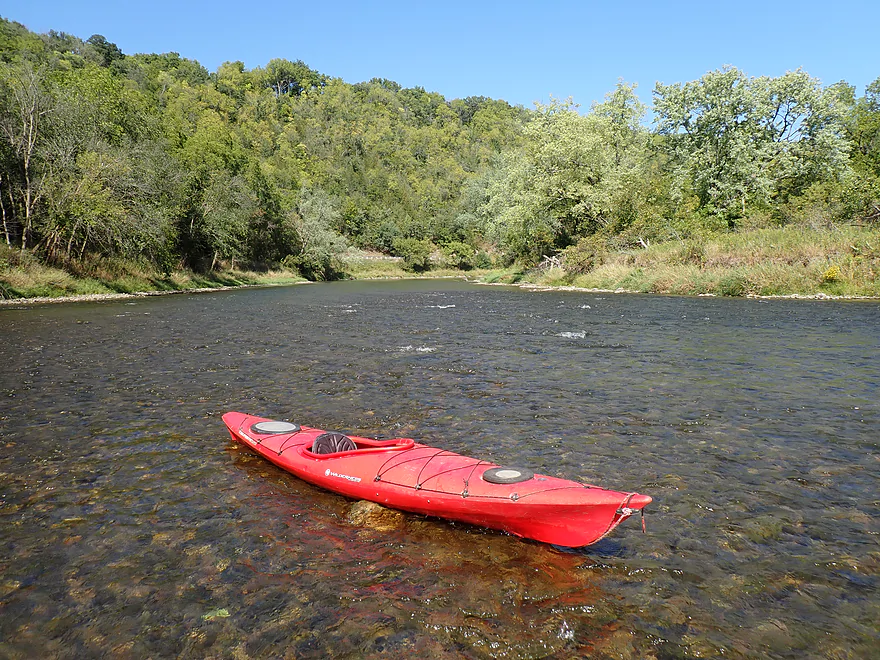
Most of the rapids were well padded…this one though was shallow
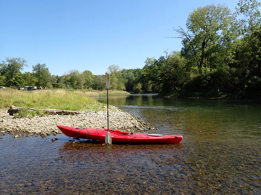
Nice to see gravelly banks without much mud
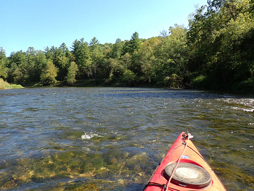
Some nice white pines ahead
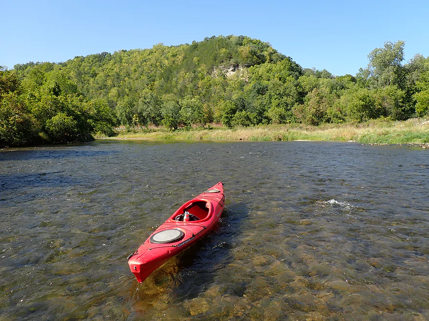
Another picturesque scene
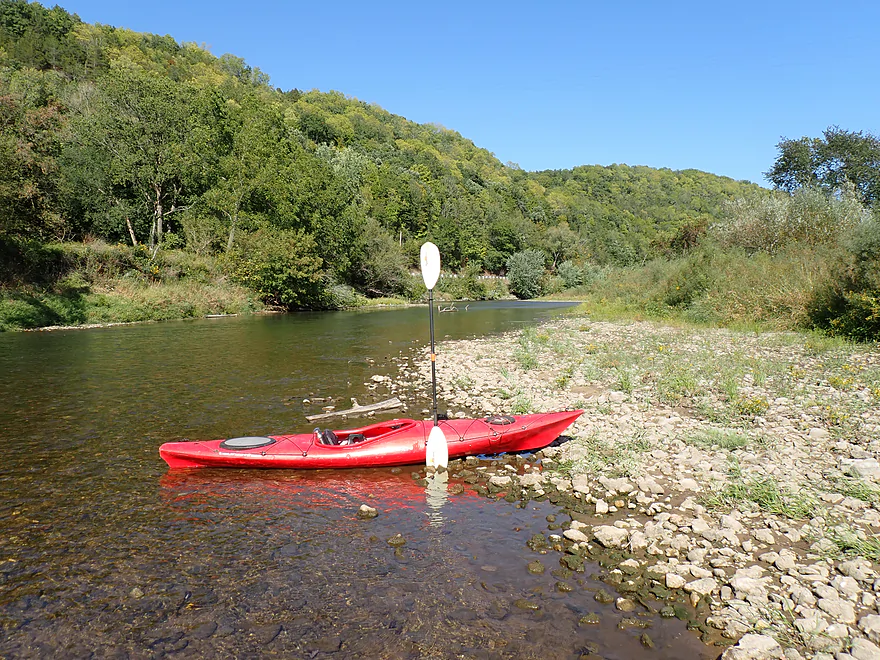
Wrapping around one of the few large islands
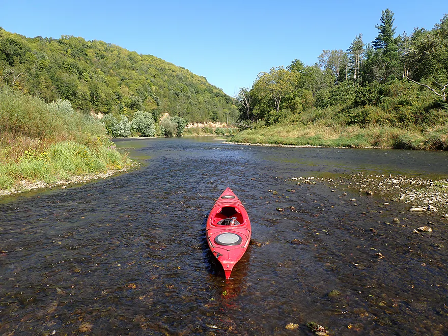
Cutting back to the main channel
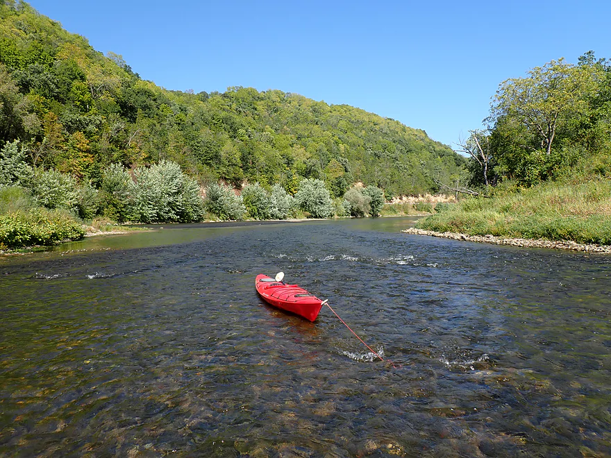
Cool scene
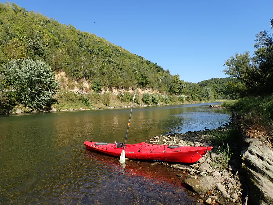
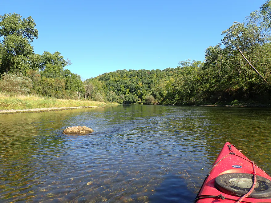
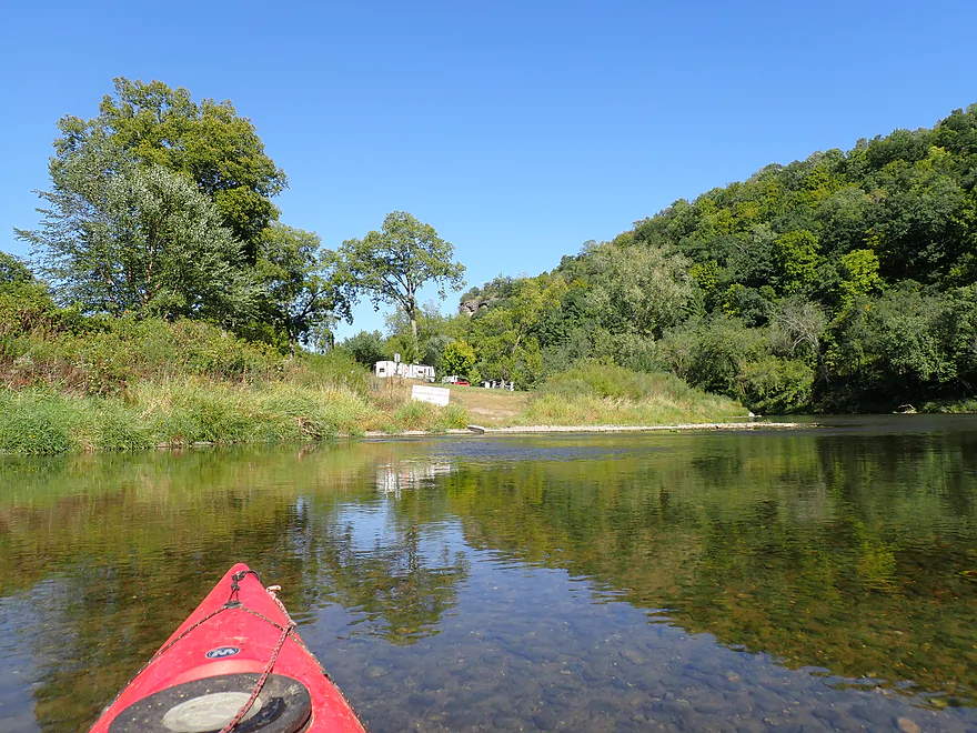
Signs warn NOT to take out at this private campground
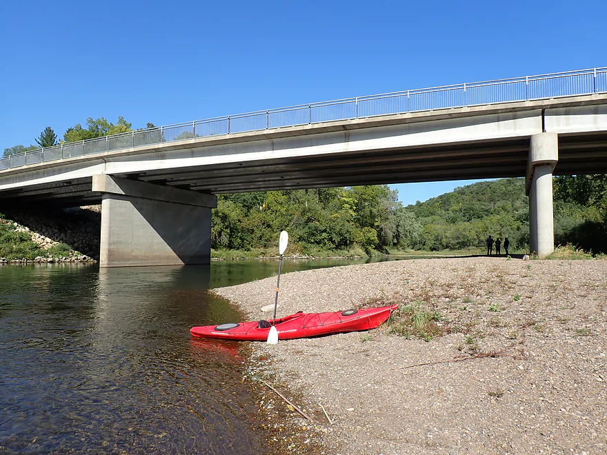
Instead take out at the Millville Bridge (CR 2)
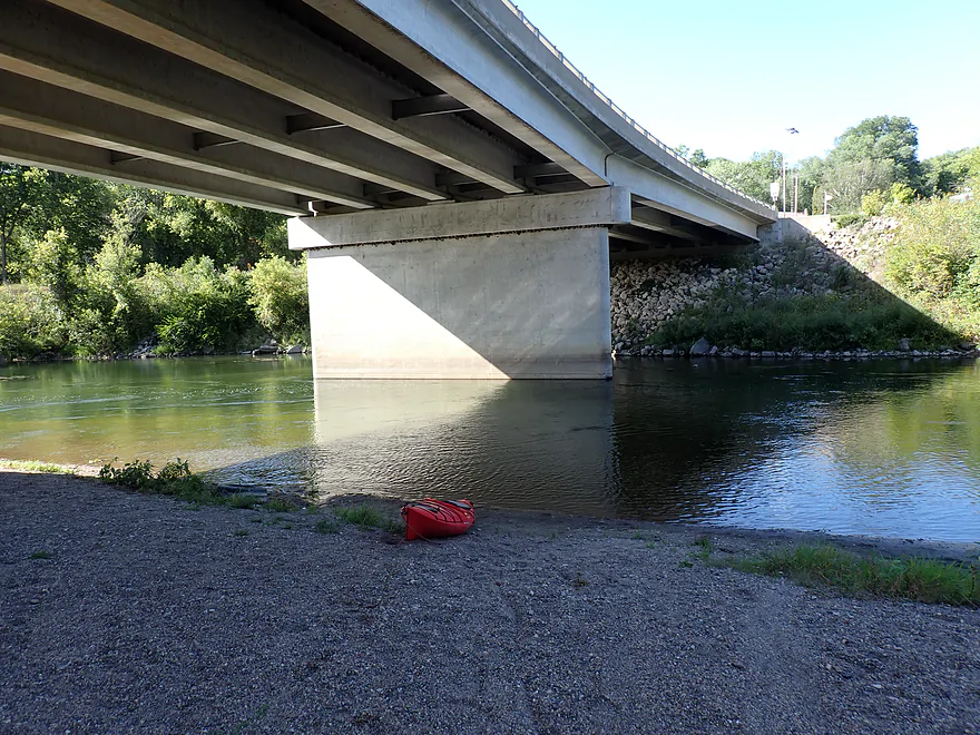
Nice gravel area for taking out
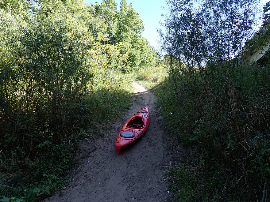
But you do have to drag your boat up a steep path
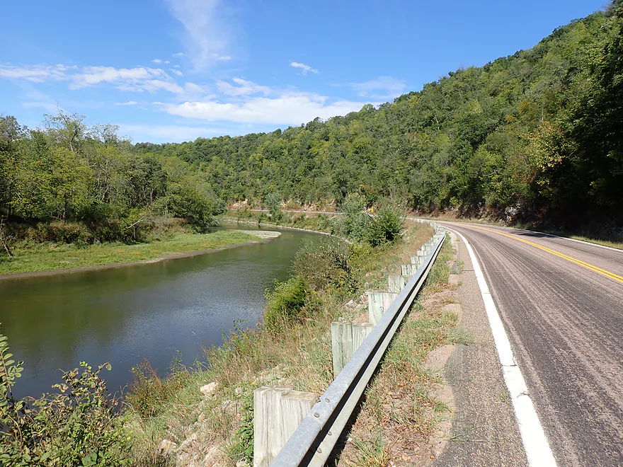
The shuttle to the put-in was very scenic


Zumbro River – Hammond

For my inaugural paddle on the Zumbro River, I picked one of its most popular stretches: Hammond to Millville. During midsummer, this leg is often swarming with tubers and crazy busy. But by September the local tubing livery shuts down for the season, opening up an ideal window to hit the water.
I launched from the Hammond Landing, which was a great access (and scenic). Despite this being mid-September, I still saw other paddlers here (and at the take-out).
Something that surprised me about the river were the number of light rapids (about 7 to 8 total), including a nice 500′ pitch just below the Main Street bridge. My second pleasant surprise was how navigable most of the rapids proved to be (for my shallow drafting boat, that is). The MN DNR had put up a dire “scrapable” warning for this leg, but I was able to scoot down most pitches with minimal bumping.
One of the other things that impressed me was the incredible water clarity. You could easily see the bottom even in the pools, and it was fun to follow the various fish and crayfish zipping around the gravel bottom. This is actually an oddity for a Driftless Area river, as they generally tend to be turbid and heavily eroded (especially the lower stretches). The Zumbro is atypically clean because its headwaters drain through more coarse glacial till rather than fine loess, which reduces topsoil runoff and contamination. This is in contrast to the lower neighboring Root River, which is much muddier, eroded, and more turbid.
If you are looking for privacy, this trip might not be for you. About 90% was flanked by Highway 11, which features occasional traffic (mostly UTV convoys on the way to the next bar). Still, despite this and an occasional home, the banks are largely wooded and attractive and steep valley hills frame the river (this could be a cool fall paddle). While there are no riverside cliffs, there are recessed rock faces above the road that still look nice. I was surprised to see a riverside campsite, so if you’re into paddle camping, the Zumbro does have some options.
Large alluvial gravel bars were common and I got out on occasion to take pictures. The Zumbro is actually much warmer than the Root River. Because of this and the clean sand/gravel bottom, I suspect that during the summer most tubers enjoy taking frequent swim breaks.
I ended the trip at the pull-off access on Highway 2 in Millville (where there were five other cars parked!). In summary, this was a trip that turned out much nicer than I expected. No, it didn’t have exotic boulders, major rapids, or riverside cliffs… but good current, incredible clarity, light rapids, a lack of mud, and steep valley walls made this an attractive trip. I highly recommend it, but with one caveat: timing is everything. For the best experience, aim to check four boxes: steer clear of summer tubing crowds, skip overcast skies so you can see into the pools, launch in the afternoon to keep the glare behind you, and time your trip for lower flows when water clarity is at its peak.
Sights included crayfish, eagles, dragonflies, butterflies, deer, and geese that were not afraid of me (maybe a MN thing). Unlike the Root, the Zumbro isn’t known so much for being a trout stream (too warm), but is considered an elite trophy smallmouth bass river. I’m not sure I spotted any, but I did see a lot of small, striped fish in the shallows and some schools of larger fish in the deeper pools.
Hammond Landing: This is a terrific public access located just upstream from the Main Street bridge. An outhouse is available.
Alternate Put-ins:
- Zumbro Falls Canoe Landing: (7.6 miles upstream from Hammond Landing) This is a good access located by the Highway 63 bridge. This leg between Zumbro Falls and Hammond is nice with steep hills and good current. I suspect locals actually prefer this leg over the Hammond to Millville stretch that I did.
Millville/Cty Rd 2: This isn’t a formal landing, but it’s a popular access located just southeast of the bridge. There is a terrific gravel bar for getting out on, and good shoulder room for parking, but you do have to lug your boat up a small hill.
Alternate Take-outs:
- Theilman Access: (11 miles downstream from Millville) There is a secluded access just upstream from the Cty Rd 4 bridge. This leg is less hilly and more open than previous legs, but should still be pleasant.
Bike Shuttle – Millville to Hammond: 5.1 miles with 75′ of ascent. This is a terrific bike shuttle option. Cty Rd 11 parallels the river, is paved, relatively flat with just some minor hill climbing, and very scenic.
Rentals/Shuttles:
- Zumbro River Ratz (Millville): They mainly focus on tubing, but they do rent and shuttle kayaks. Their main route is Hammond to Millville, but note they only operate in the summer (between Memorial Day and Labor Day).
- Zumbro Valley Canoe Rental (Zumbro Falls): They have more flexible options and hours than River Ratz, but reservations are appreciated for off-peak times.
- Broken Paddle Guiding (Wabasha): I’m not sure they would service the river west of Millville, but they occasionally do shuttles/rentals on the Lower Zumbro if you prefer that.
Logjams/strainers: There are no logjams and only very minor strainers. Despite the rapids I consider this a pretty safe stretch (unless you are paddling during a flood).
Rapids: There are a handful of Class 1 rapids…all pretty easy and safe. I suspect these “wash out” during high water levels.
Closest Gauge: Zumbro River @ Zumbro Falls
Trip Depth: 5.23′
Navigability Estimates: Note these are rough guestimates….they’re also a bit at odds with the MN DNR guide which prefers IMO irrationally deep depths.
- < 5′: Lots of wading. For most paddlers, this will be too low.
- 5.0-5.3′: Low water with a few bumpy spots, and you might need to get out once or twice. That said, it’s great for a shallow-drafting boat and features incredible water clarity.
- 5.4-5.8′: Average summer depth. A solid target range with decent clarity.
- 5.9-6.3′: Elevated depth. Water clarity will likely be mediocre.
- 6.4-6.8′: High depth. Navigable, but less interesting: the fun rapids wash out and water clarity drops noticeably.
- 6.9-7.8′: Very high depth. Likely fine for paddling but the river will lose most of its charm.
- 7.9’+: Extremely high depth. You might still be able to paddle this stretch…I’m not sure, but this is approaching flood stage and my vote would be to stay off.
Click here to see a Zumbro River overview map.
Main Branch:
- Lake Zumbro Dam Landing to Hwy 7 Landing: 2.2 miles. The start of the Zumbro River (from what was the South Fork). This leg is more developed, but should still be decent. There is a possible rock face below the dam.
- Hwy 7 Landing to North Fork Confluence: 2.5 miles. Pleasant north-facing leg.
- North Fork Confluence to Zumbro Falls/Hwy 63: 7.7 miles. Decent leg with some wooded river bluffs.
- Zumbro Falls/Hwy 63 to Hammond: 7.6 miles. A great prospect with steep wooded bluffs and good current.
- Hammond to Millville Access: 5.4 miles. One of the more popular legs which can be swarmed by tubers in the summer. Nice stretch with light rapids and terrific clarity.
- Millville Access to Theilman Access: 11.0 miles. River leaves its narrow valleys and widens out. Still scenic with many driftless hills, sandbars and gravel bars.
- Theilman Access to Funk Ford Access: 6.8 miles. Good stretch. Supposedly in the fall, the area bluffs can have nice color.
- Funk Ford Access to Kruger Access: 4.6 miles. A cool prospect with decent sandbars, nice bluffs and some large sandbanks.
- Kruger Access to Kellogg Access: 7.2 miles. This is more of a bottomland paddle but does feature some massive sandbars.
- Kellogg Access to West Newton Public Boat Launch: 5.3 miles. The final leg of the Zumbro has been artificially ditched and straightened. It still might be somewhat interesting with a few nice sandbars. The take-out is on the Mississippi.
North Fork:
- Zumbrota Covered Bridge Park to County 48 Blvd: 2.5 miles. Narrow wooded stretch. Includes attractive covered bridge.
- County 48 Blvd to County 10 Blvd: 1.0 miles. I don’t know much about this leg.
- County 10 Blvd to Mazeppa Veterans Memorial: 6.1 miles. Likely a pleasant stretch with sand and gravel. There could be a logjam or two.
- Mazeppa Veterans Memorial to Herb Vik Athletic Field: 0.3 miles. Nice stretch with some fun rapids by the removed dam and an historic bridge.
- Herb Vik Athletic Field to Hwy 7: 5.3 miles. I suspect this is pool and riffle stretch with some limestone outcrops (could be really cool). I think it’s nice but suspect water levels are volatile.
- Hwy 7 to Confluence on Main Branch: 1.4 miles. Final leg of the North Branch before it joins the Main Branch. There could be a few logjams to deal with.
South Fork:
- Mayo Wood Lake Dam to Zumbro South Park: 3.0 miles. Likely a pleasant wooded paddle with nice gravel bars located on the south side of Rochester. Note there may be concrete flood control structures and ledges which could become hazardous in high water.
- Zumbro South Park to Rochester Rowing Club: 3.1 miles. Despite a few dams to portage, this is likely a decent urban paddle through the heart of Rochester. Note there may be concrete flood control structures and ledges which could become hazardous in high water.
- Rochester Rowing Club to Riverview West Park: 2.1 miles. Mostly a wooded paddle with at least one tricky dam portage. Several alternate access options exists.
- Riverview West Park to W. River Road NW Access: 2.4 miles. An intriguing stretch…parts this look artificially channelized, but there are also what appear to be fun rapids.
- W. River Road NW Access to Buckridge Park: 1.6 miles. Very wooded stretch.
- Buckridge Park to Hwy 63 Landing: 3.1 miles. River flows through the final northern suburbs of Rochester. Likely a good leg.
- Hwy 63 Landing to 90th Street: 3.1 miles. Probably a pleasant stretch.
- 90th Street to Middle Fork Confluence: 2.9 miles. Generic wooded paddle. I’m not sure it looks that interesting.
- Middle Fork Confluence to Sandy Point Landing: 1.4 miles. River grows because of the Middle Fork confluence and an upcoming dam. Likely not an interesting leg but in the fall the bluffs can have nice color.
- Note Sandy Point Landing is now private. You can kind of still use the bridge area as an access but stay clear of the fence. Alternatively you can use Lake Zumbro Park Landing which is just downstream.
- Sandy Point Landing to Lake Zumbro Dam Landing: 4.5 miles. This is Lake Zumbro. Some paddlers may like it and there are some nice bluffs, but I suspect it is a somewhat boring flowage paddle with too much shoreline development. The dam spillway is hazardous and paddlers should pay strict attention to signage and buoy lines.
- Note Sandy Point Landing is now private. You can kind of still use the bridge area as an access but stay clear of the fence. Alternatively you can use Lake Zumbro Park Landing which is just downstream.
Middle Fork:
- Collins Park to Douglas State Trail Access: 1.3 miles. Small creek that winds through the town of Pine Island.
- Douglas State Trail Access to Hwy 31: 6.3 miles. Probably a mediocre stretch thick woods and perhaps some logjam issues.
- Hwy 31 to Oronoco Park: 3.2 miles. River flattens and widens out. Looks nice from photos. Could be a logjam still.
- Oronoco Park to Allis Park: 0.5 miles. Very scenic mini-leg where the Oronoco Dam used to be. There are now a series of fun ledges/rapids and a photogenic arched bridge.
- Allis Park to Confluence on South Fork: 6.3 miles. River grows in size with some small outcrops near the end of the trip. This is a good fall color trip and is high on my todo list..
Middle Fork – South Branch: (I know this is confusing…I didn’t name these)
- 210th Ave to Riverside Park/Mantorville: 5.0 miles. A shallow stretch some some ripples and small limestone cliffs. There could be deadfall.
- Riverside Park/Mantorville to Oxbow Park: 7.8 miles.
- Riverside Park/Mantorville to T-120: 4.3 miles. Looks like a mediocre stretch with some deadfall dodging. Video reference 0:00 to 7:14.
- T-120 to CR 5: 2.5 miles. More open stretch with some farms. There is a low wire to duck under. Video reference 7:14 to 10:11.
- CR 5 to Oxbow Park: 1.0 miles. Nice leg with a cool outcrop. Video reference 10:11 to end.
- Oxbow Park to CR 3: 12.7 miles.
- Oxbow Park to CR 105: 2.2 miles. Scenic leg that wraps around Oxbow Park. Video reference 0:00 to 1:11.
- CR 105 to 75th Street/Genoa: 6.9 miles. Mix of woods with light rapids but some deadfall/strainers. There are some nice outcrops. Video reference 1:11 to 6:02.
- 75th Street/Genoa to CR 3: 3.6 miles. Not as interesting as the previous leg with some deadfall to dodge. Video reference 6:02 to end.
- CR 3 to Allis Park/Confluence on Middle Fork: 5.2 miles. Very nice leg with a few rock outcrops. At the confluence there are fun ledges/rapids and a photogenic arched bridge.
Trip Map
Overview Map
Video
Photos Size:
3 Comments to “Zumbro River – Hammond”
How did your trip turn out? Questions or comments? Feel free to leave your feedback.

Hello Aaron, I see you finally made out to my neck of the woods. This is a very nice section along with Zumbro Falls to Hammon as well as Millville to Theilman. After that it becomes more open and less interesting. I’ve gone as far as Funk Ford bridge, many nice sand bars to do an overnighter on. I have done the North Fork several times, it needs adequate water and there will be plenty of strainers and log jams. You can start from Wanamingo but it should be 6.0 min. on the gauge. As far as the South Fork. I’ve done that several times from The Rec Center Near Elton Hills Dr to 90th St. This is a nice section with several fun rapids and no major obstacles. It does flow through the northern suburbs of Roch. so, there are plenty of houses along the shore. I did this in April to the Hwy 63 landing, see my YouTube video. Regarding the S.B.M.F., from Mantorville to CR 105 is my favorite section, lots and lots of fun little rapids, twists and turns. several nice outcrops and plenty of tree debris dodging! Plus, the put in is only 3 miles from my house, I do this section every year in the spring or after a good rain, 4 Stars! Paddle on, Don.
Good to hear from you Don. Appreciate the heads up about the North Fork and South Fork…I’ve added your South Fork video to my map and overview section. Middle Fork is likely my next priority. I actually would prefer to do “Allis Park to Confluence on South Fork”. But I think most paddlers prefer the leg before that? If you know more about the leg after Allis Park, let me know.
The Middle Fork from Allis Park is nice, scenic hills not a lot of tree debris or rapids. The last couple miles before the confluence slows down considerably. There is no good place to take out at the confluence as it is all private land. The “landing” at Sandy Point was closed to the public after they built the condos there probably 12 years ago. You will have to go farther north to Lake Zumbro Park or Kings Marina. Lake Zumbro can be very busy on the weekends. I see you added Dodge Center Creek to the map, did it once, that is a log jam nightmare! The S.B.M.F from Wisioja to Mantorville is OK, probably 3 star. Next time your in the area let me know, I’d like to meet and/or paddle with you. Or at the very least provide a shuttle.