
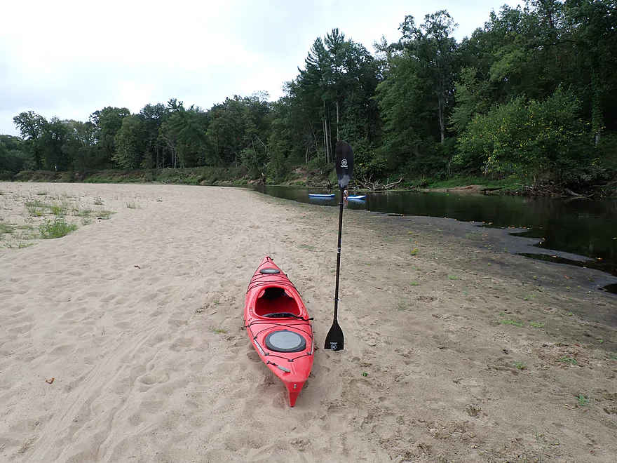
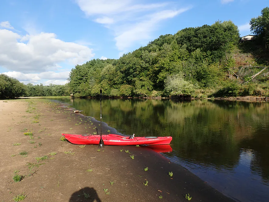
Starting at the Lost Falls Campground beach
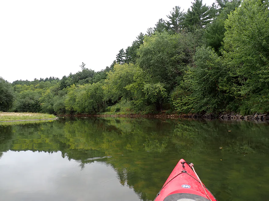
Nice bluff and pine-topped banks
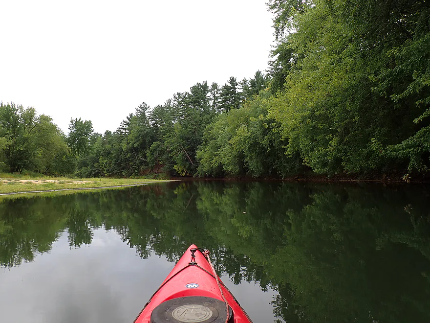
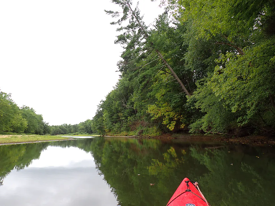
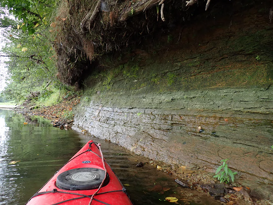
Small outcrop
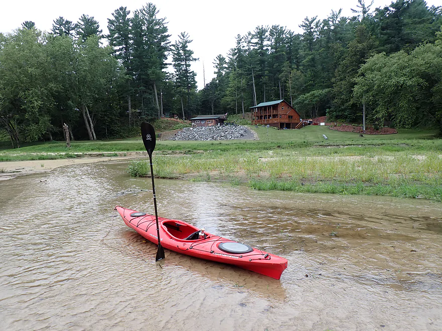
Mouth of Roaring Creek
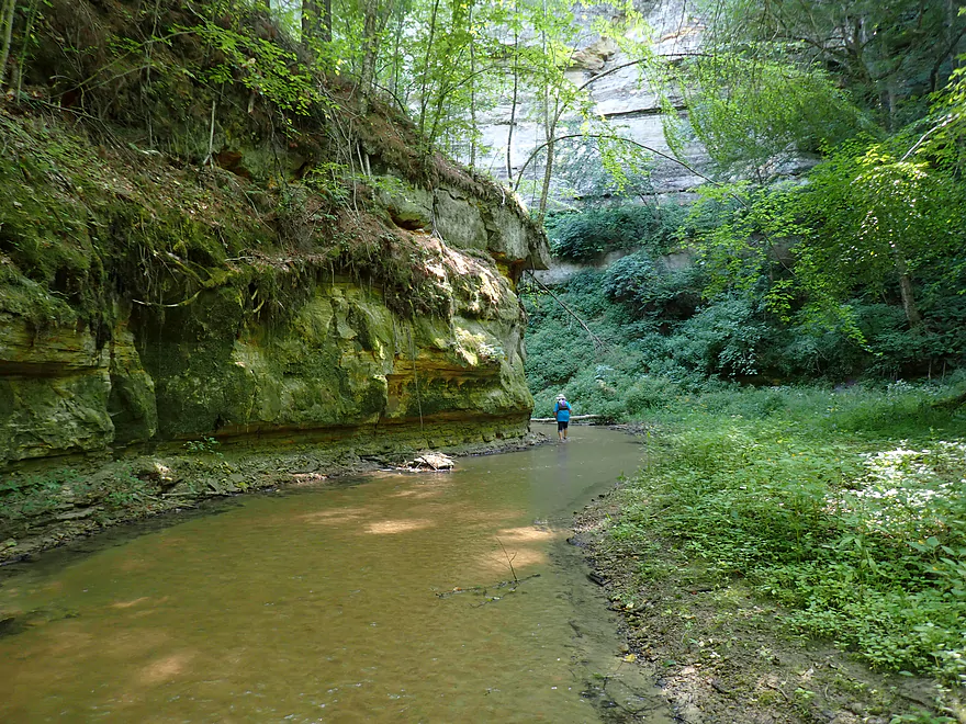
Worth wading up (2023 pic)
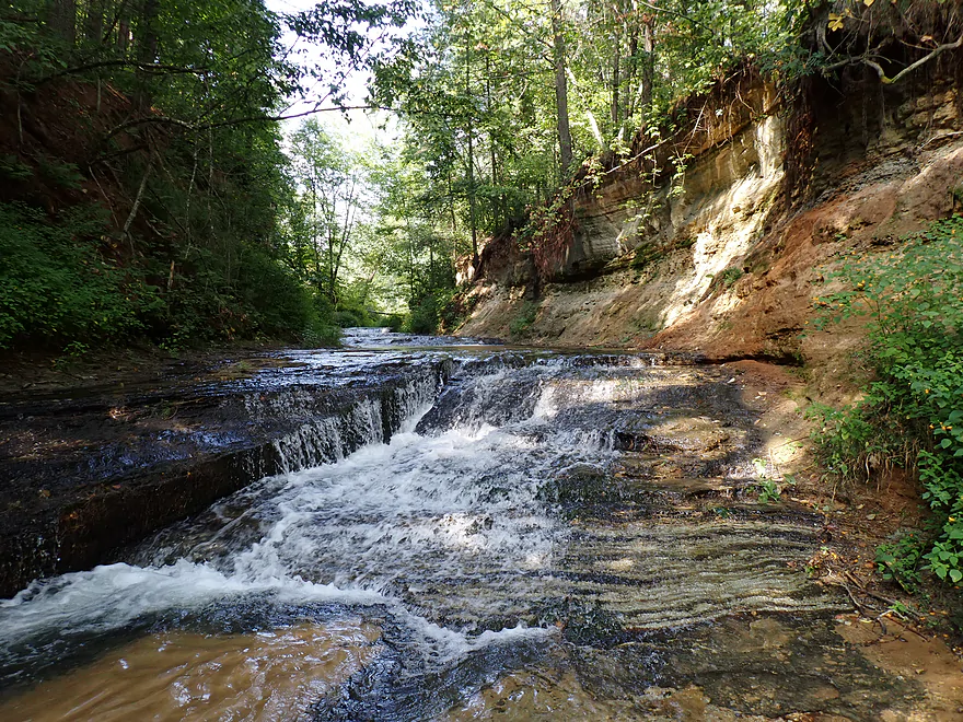
It features exposed bedrock, cliffs, and small waterfalls (2023 pic)
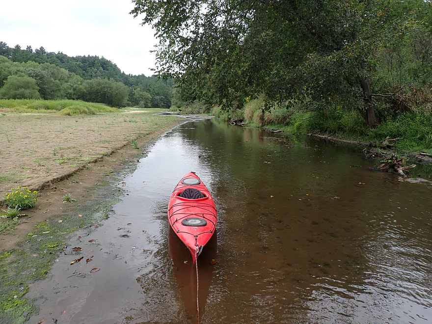
Back on the Black…portaging a shallow stretch after Roaring Creek
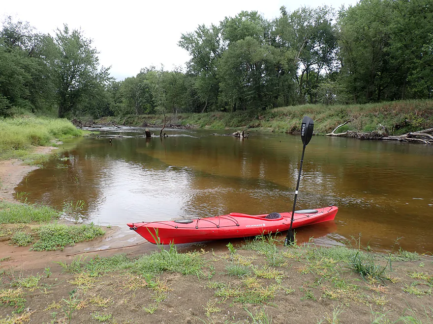
A side channel brings the Black back to life
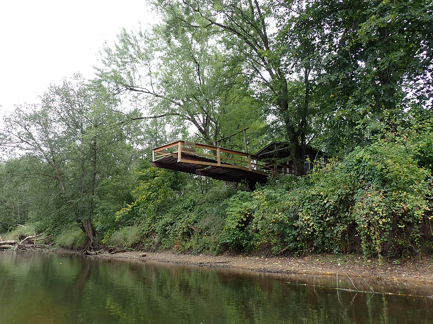
Interesting pier
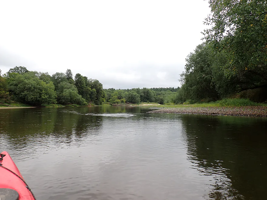
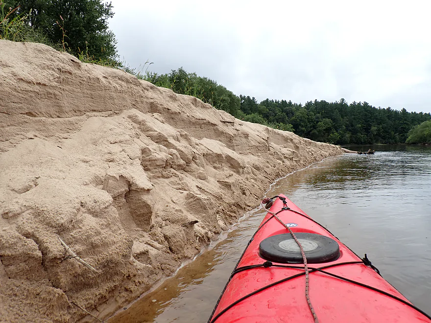
Lots of sand on this trip
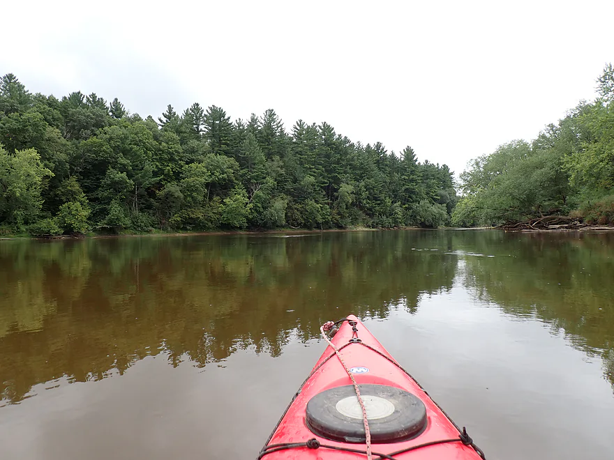
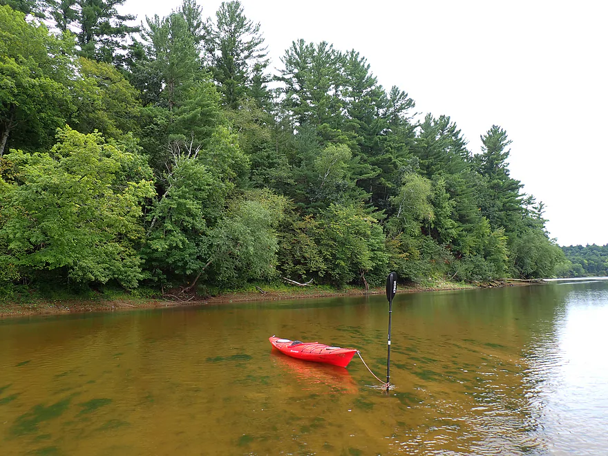
Terrific white pines
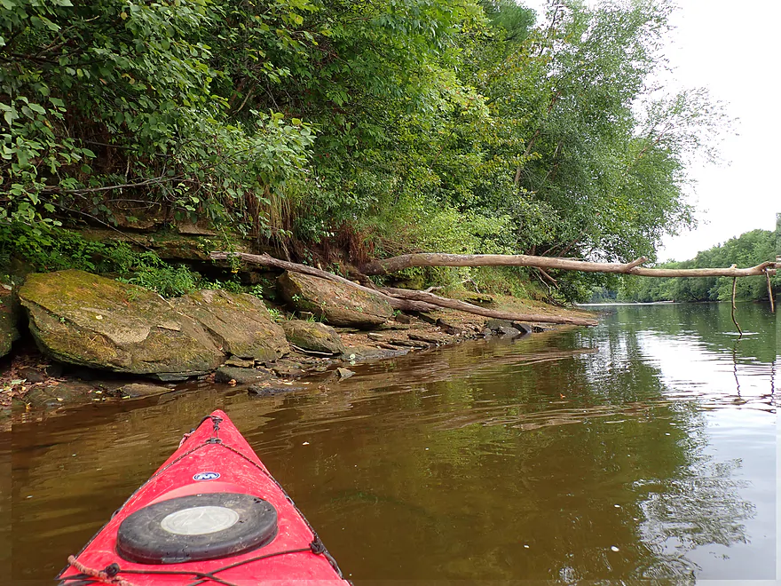
Rugged shoreline
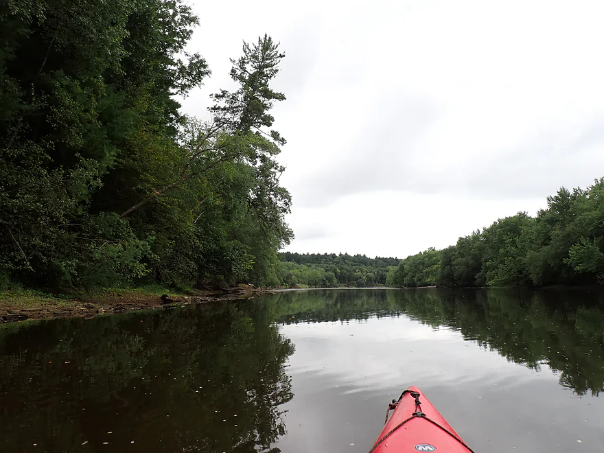
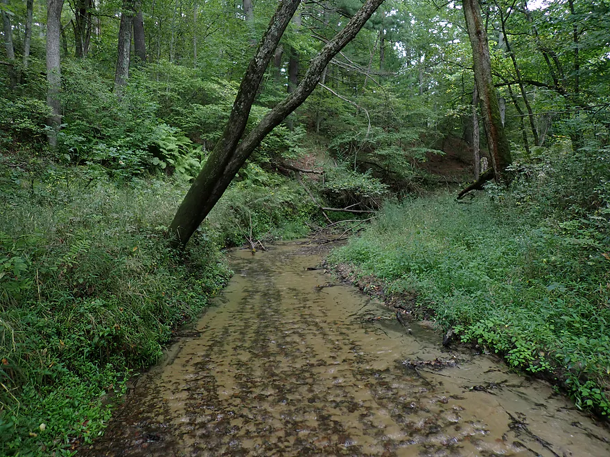
Wolf Creek…nice but no Roaring Creek
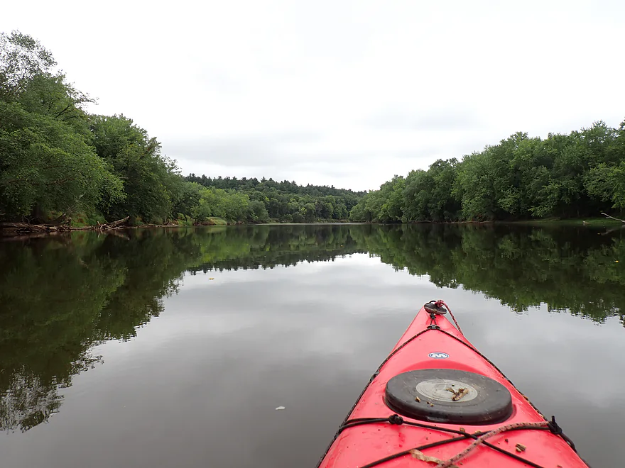
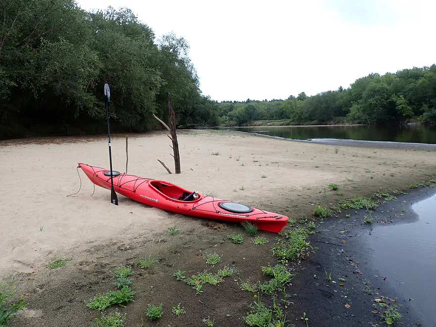
Suspicious-looking deadfall
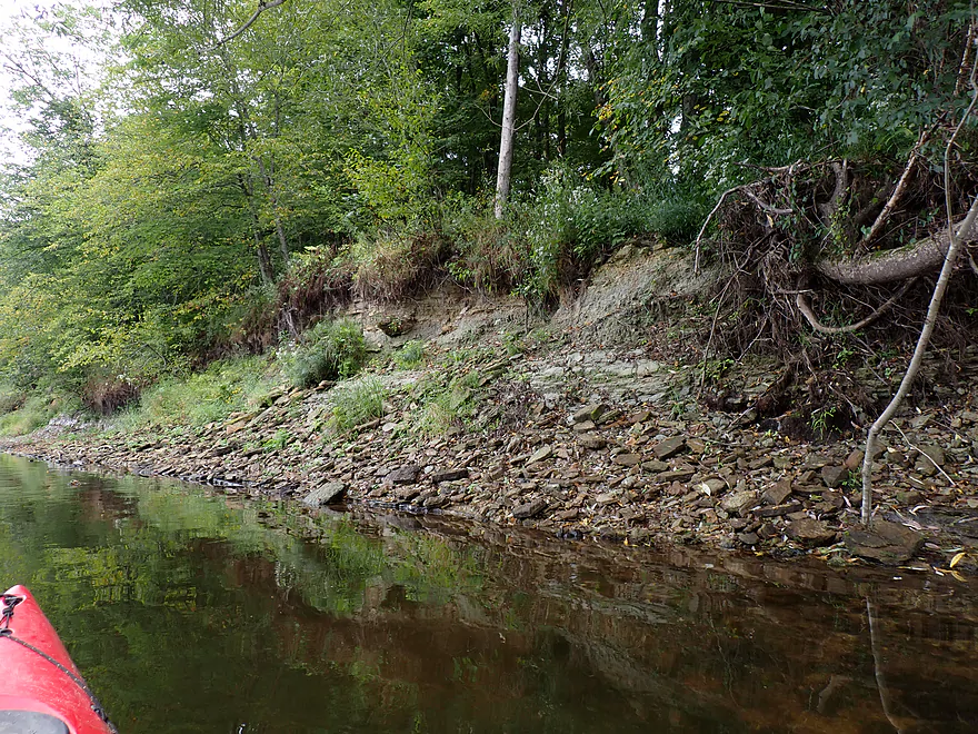
A crumbling stone bank
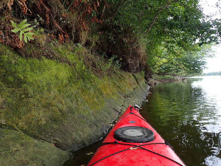
Another small outcrop
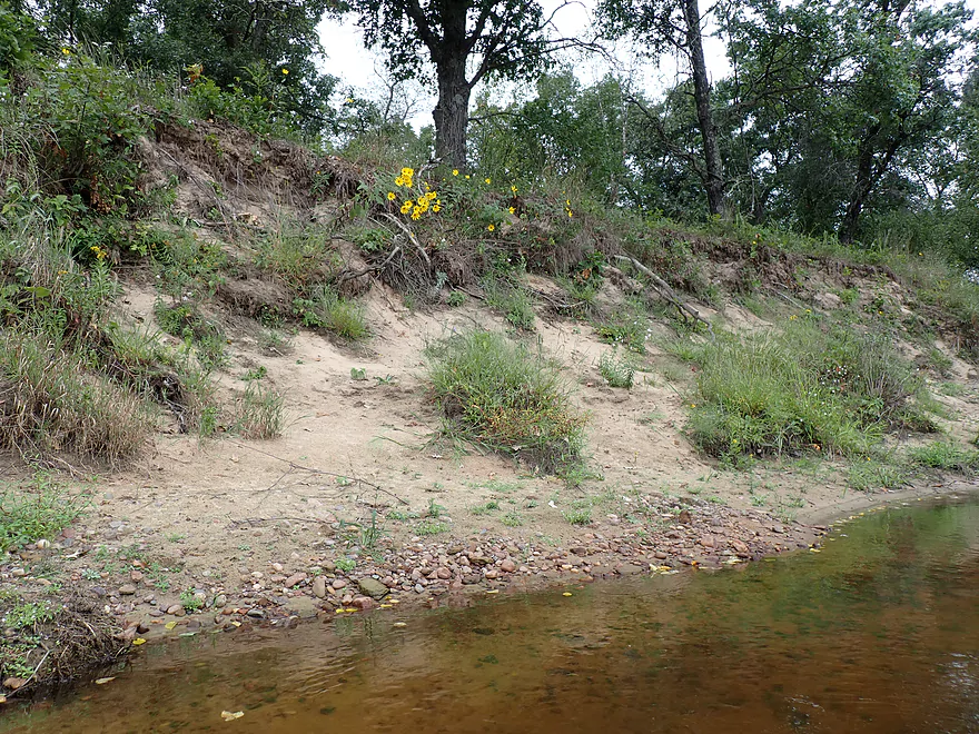
Beat-up sandy banks
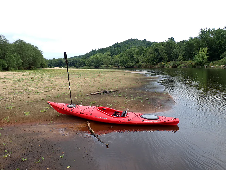
Hilly countryside
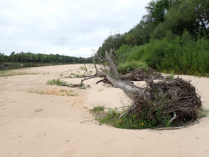
Perfect picnic spot
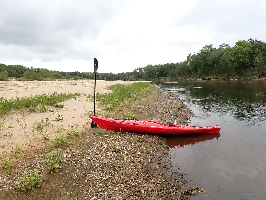
Huge sandbar
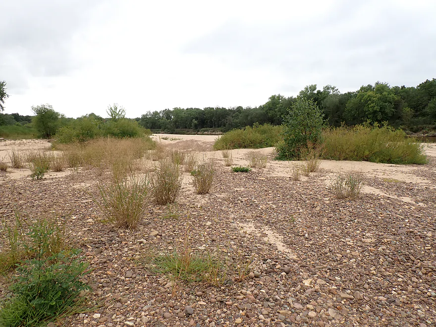
Attractive mix of sand and pebbles
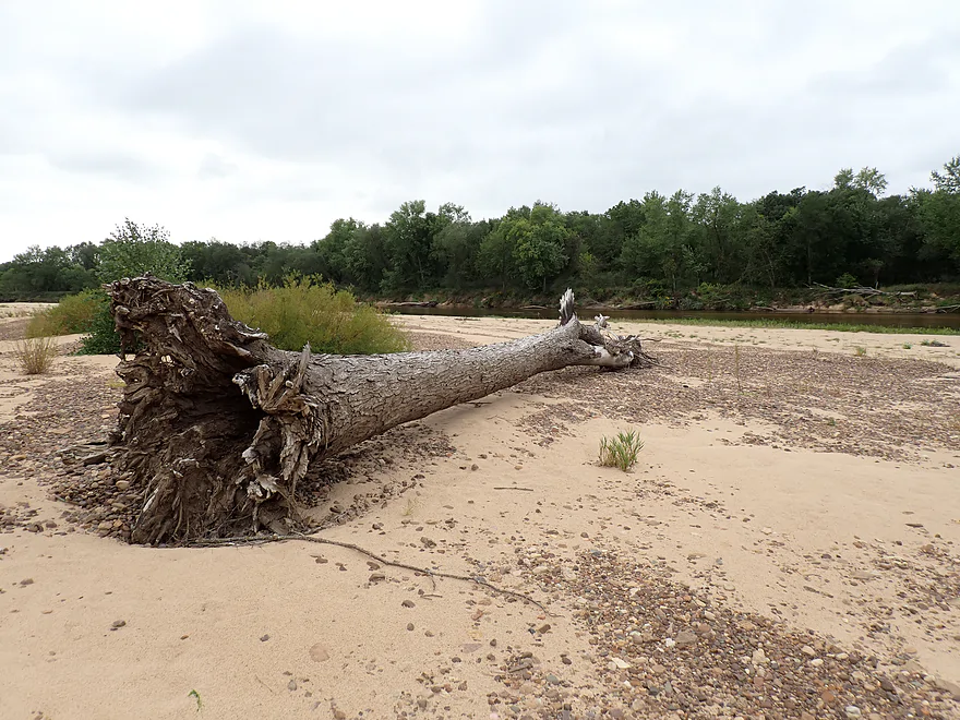
A gift from previous floods
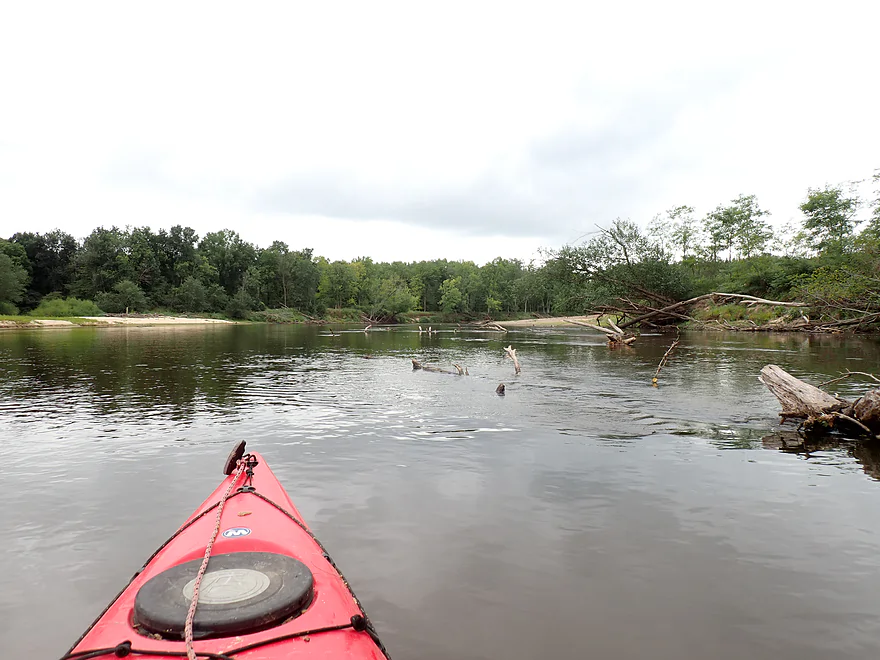
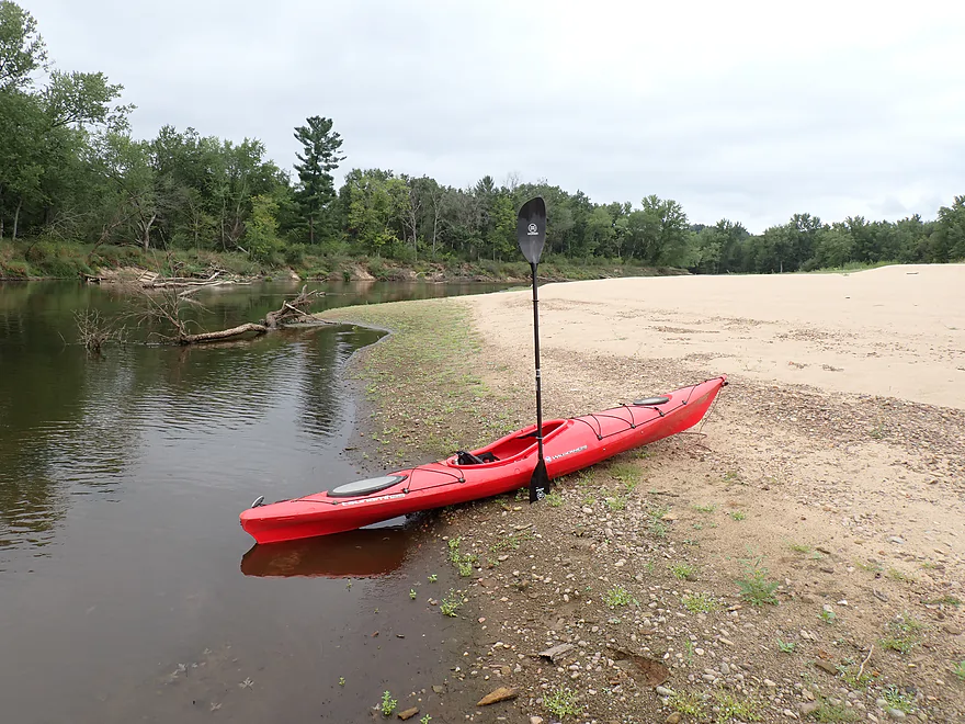
Great sandbars
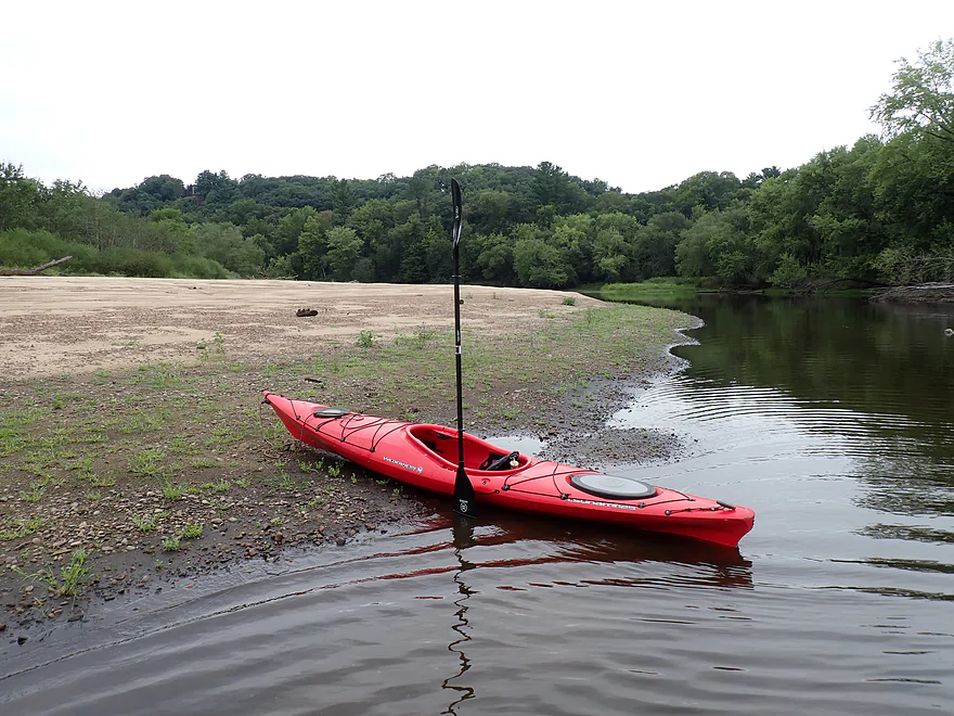
Using my kayak for scale
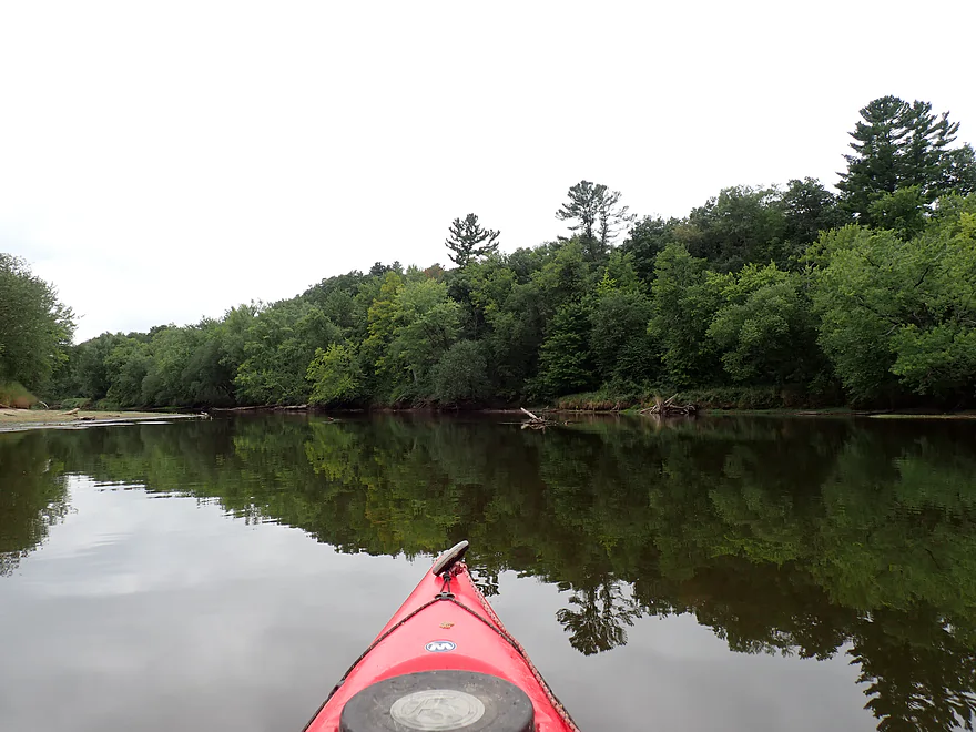
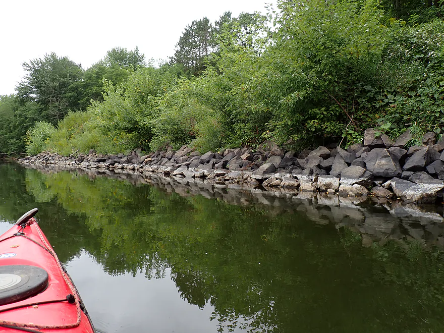
High water line
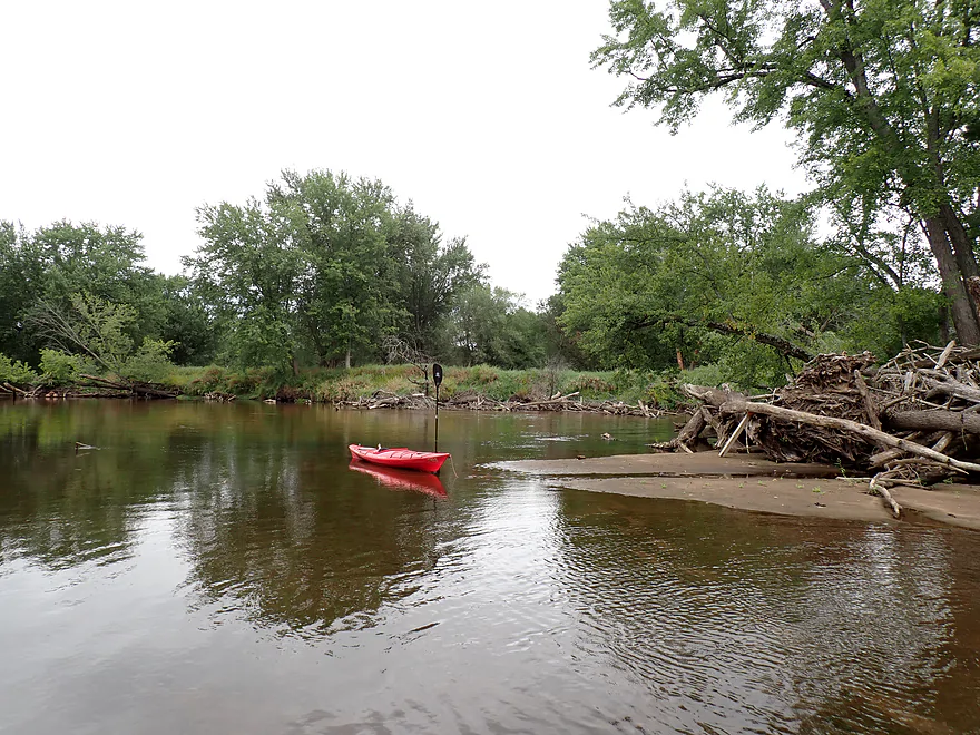
An important fork in the channel
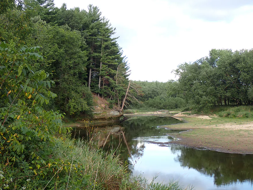
I wanted to stay west/north but it was too shallow
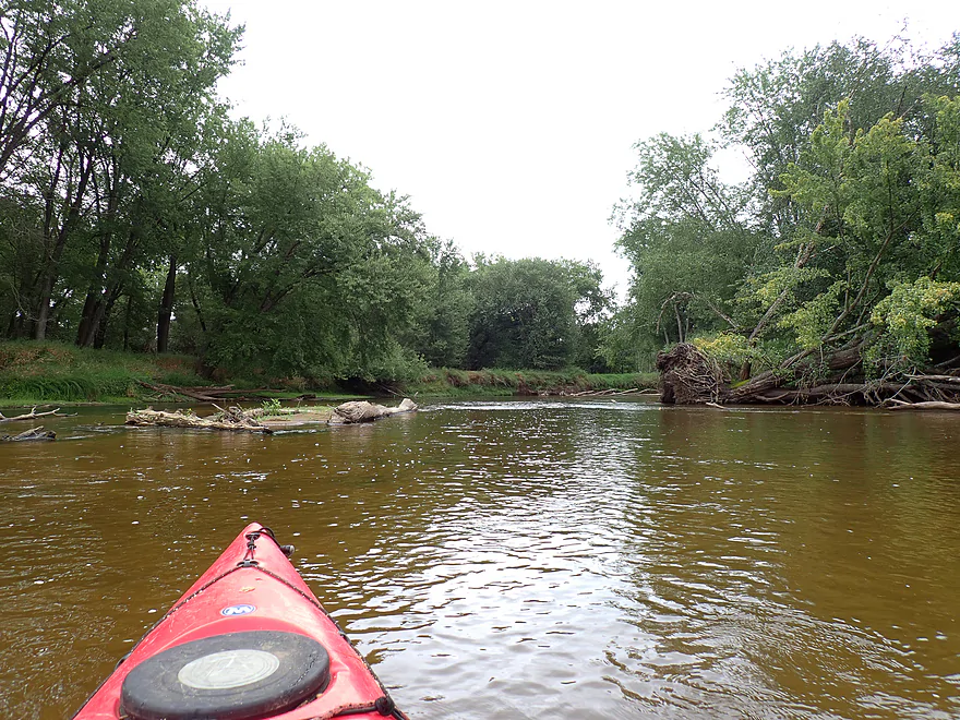
Heading east down a fast wooded side channel
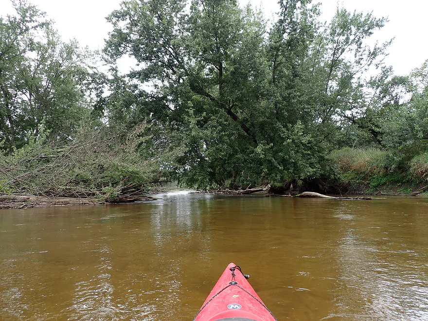
Mind the strainers
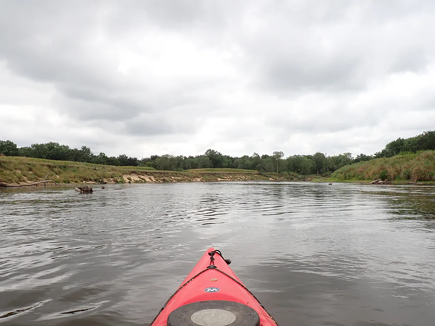
Resumption of the main river
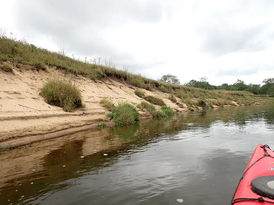
Open sandy banks
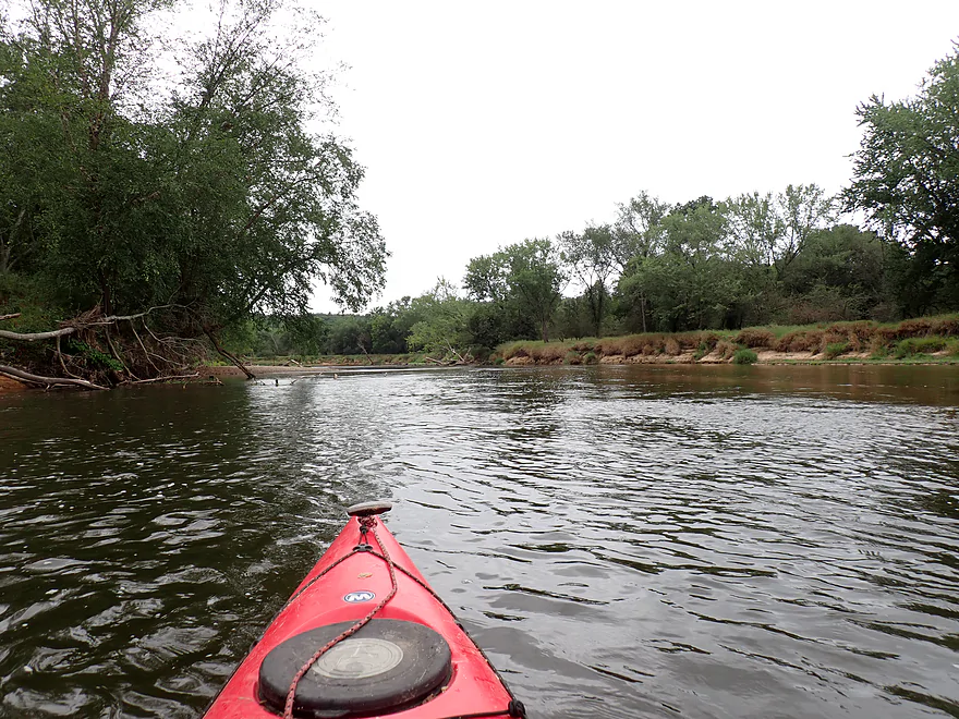
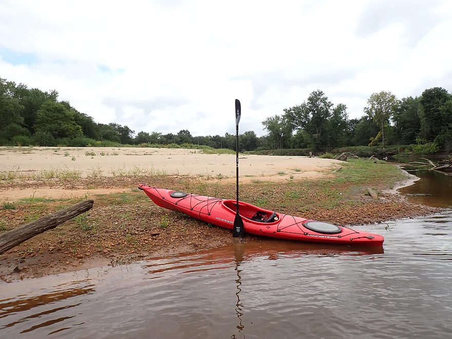
Clay gives this sandbar a nice red color
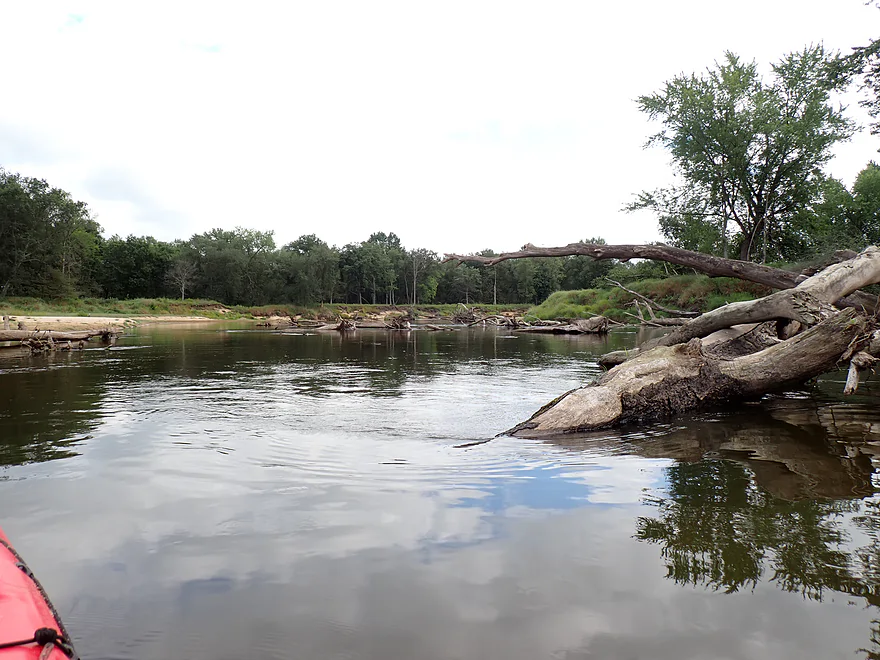
Some debris dodging required
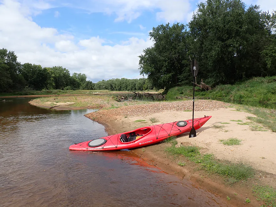
Finally, the sun comes out
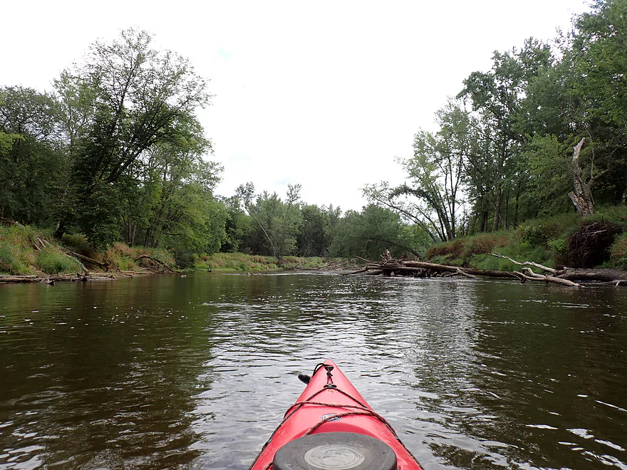
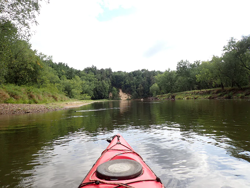
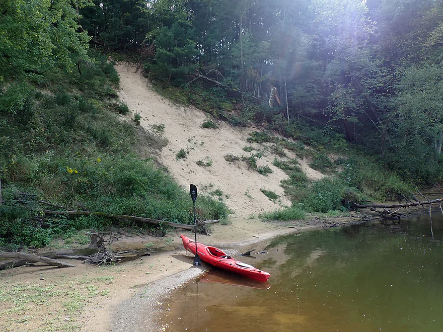
Large sand bank
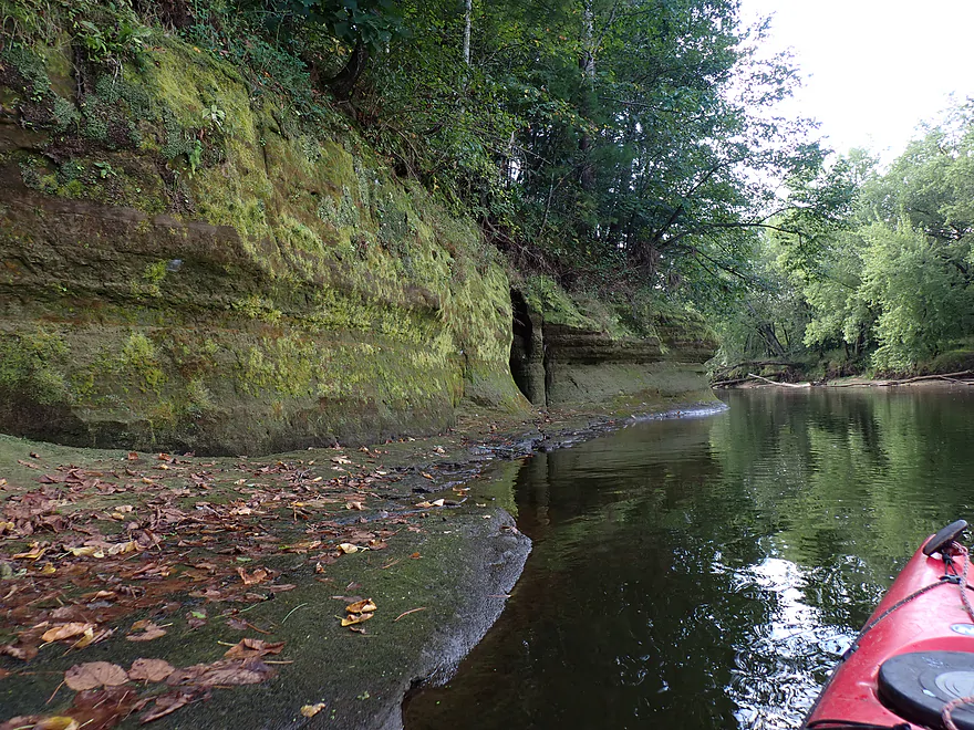
Start of a long outcrop
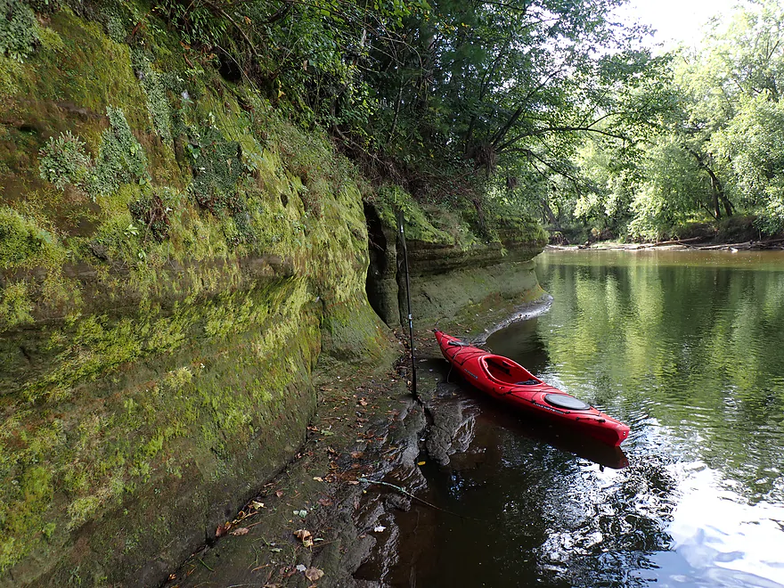
Really cool
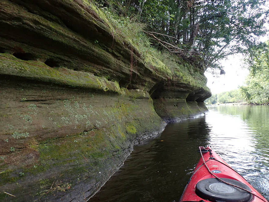
Can see where the ice is eating into the sandstone
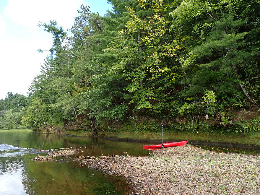
Looking back
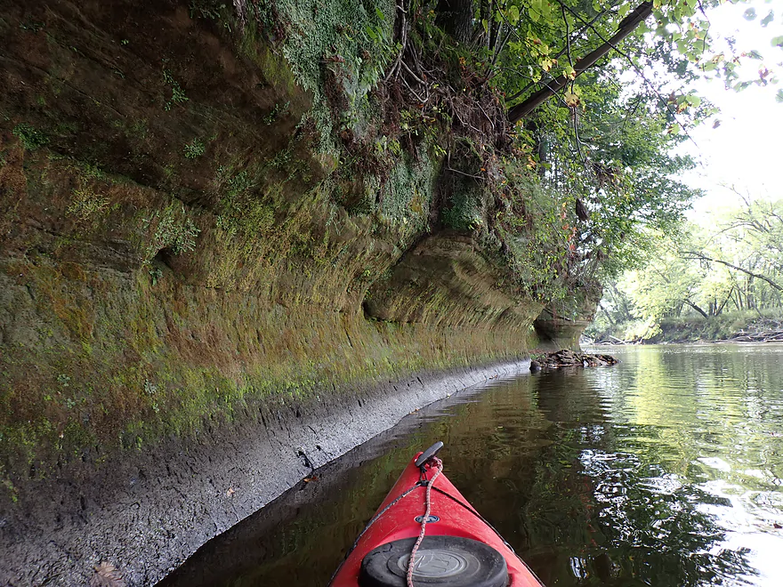
Another set of outcrops
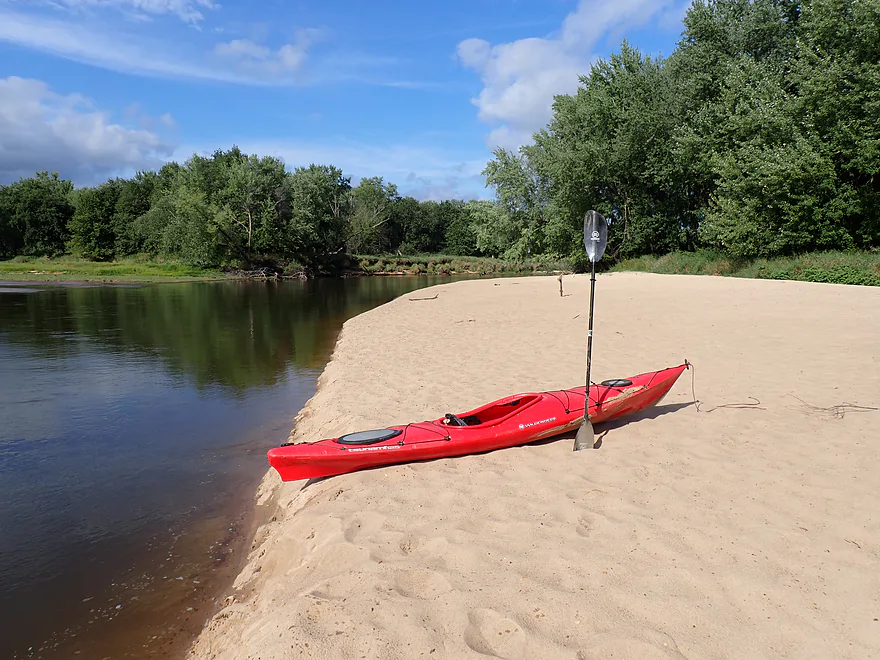
Still great sandbars (Grinde channel joins up on left)
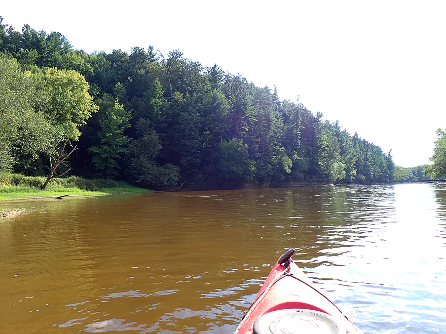
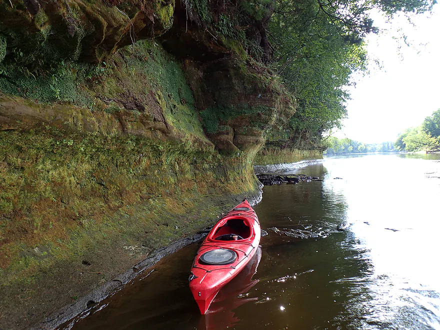
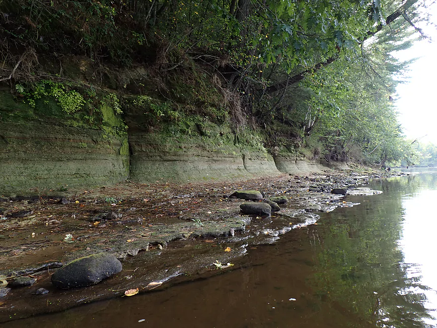
Exposed bedrock
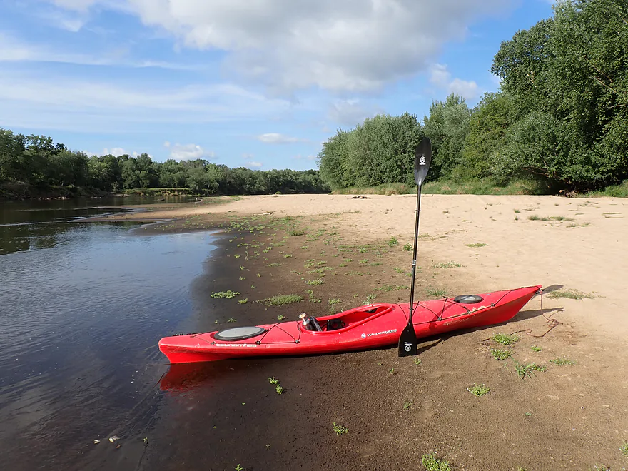
Last of the great sandbars
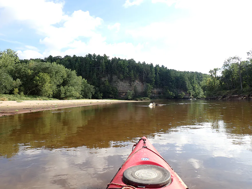
Approaching the highlight of the trip
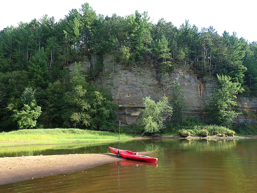
Massive cliff
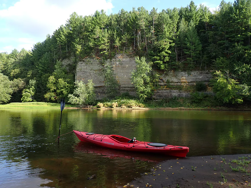
You can see (right) where a massive part of the cliff fell off
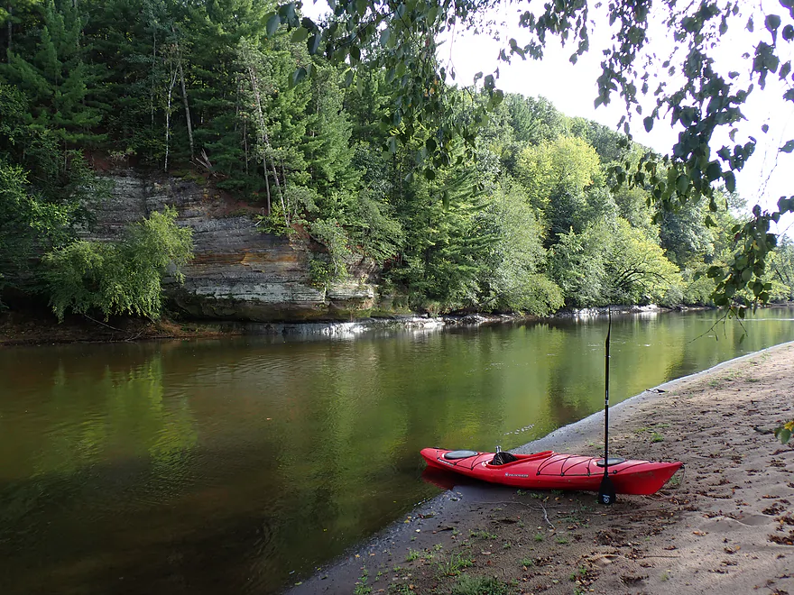
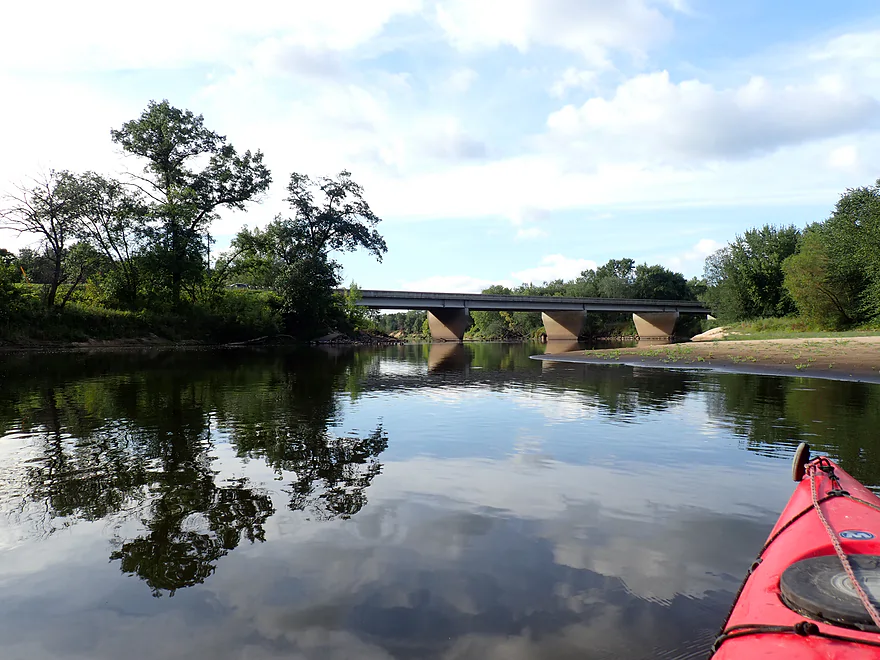
Hwy 108
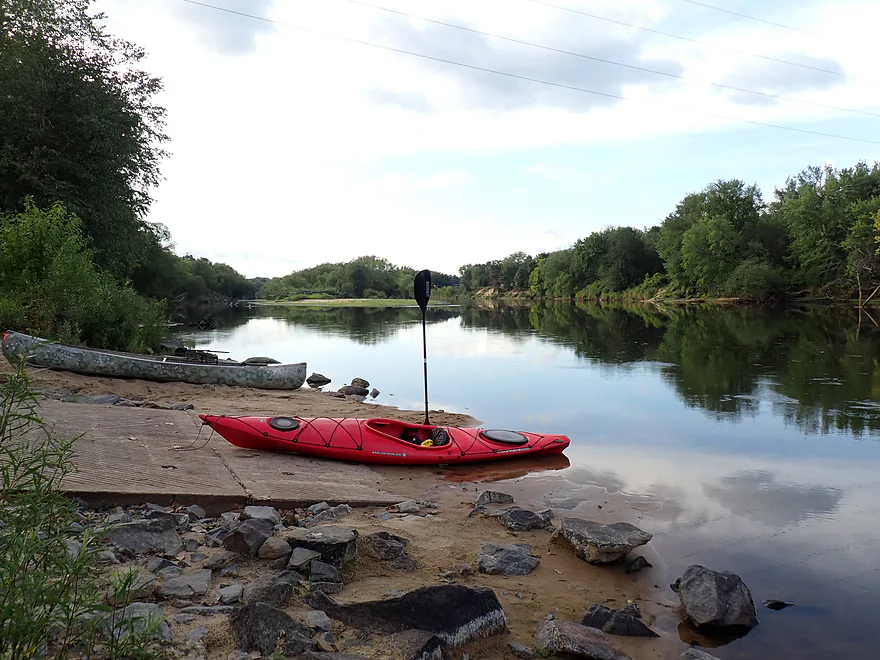
This is Melrose Landing
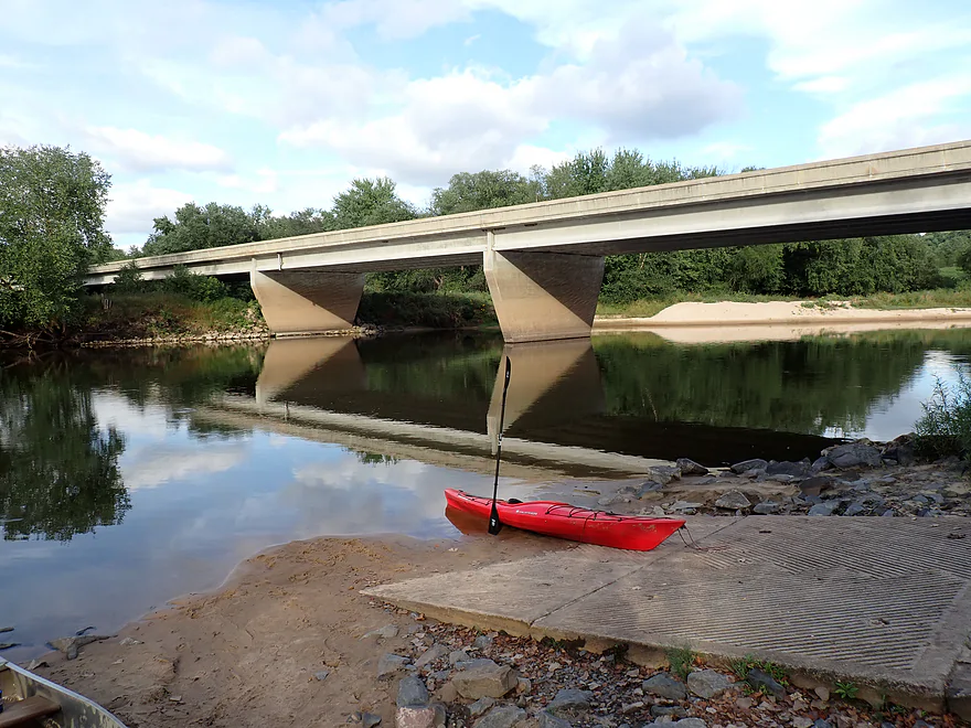
A great access


Black River – Lost Falls


The Irving to Melrose stretch is the black sheep of the Lower Black River paddle trails. Between notoriously fickle shallows, a braided network of diverging channels, and the loss of the Grinde access, paddlers have good reason to hesitate, and outfitters generally steer their clients to alternative routes upstream or downstream. For me, the concern was a long and difficult bike shuttle. But after recently talking to Lost Falls Campground and securing a shuttle option, I had no remaining excuses not to run it.
I launched at the main campground beach. As a somewhat ominous omen, the beach had extended to the opposite shore, severing the river, and several paddleboarders were in the process of doing a long portage. I was not deterred, as I knew this was not the real Black River (just a side slough), and river levels were actually higher than on my previous trip. Once through the bottleneck, it was smooth paddling with views of low sandstone outcrops and high bluffs crowned with white pines.
Soon I heard the roar of Roaring Creek (where Lost Falls gets its name). It’s a great creek, but I had already explored it previously and with a long trip ahead, I decided to press on. What was strange, though, was that Roaring Creek was flowing upstream into the Black River channel. I soon learned why this was an issue: the delta created by Roaring Creek was completely blocking this channel from moving south. And it was not just a short wall of sand. I ended up having to wade and portage 1800′ (the “low point” of the trip).
Thankfully, the mystery of the missing river soon resolved itself. From the north, a fast side channel entered and brought the river back to life. It was not that the river was drying up, but rather that the Black is rerouting itself further east through two side channels. Satellite photos from twenty years ago confirm the trend: the Roaring Creek channel is slowly dying and may soon be completely unnavigable.
After a second side channel merged back in, the Black widened to its normal breadth and picked up good momentum. Around the two-mile mark, I drifted past a shoreline wedding before reaching a scenic bluff capped with white pines. Just downstream was Wolf Creek. I usually like wading up Black River creeks because they frequently contain cool sandstone ravines, but Wolf Creek was a dud. Other than nice water clarity, there was nothing to see.
The next two miles dragged on in a straight, dull line. The riverbanks were battered with messy sand deposits and scruffy floodplain woods. Outside of a handful of wide sandbars and gravel beds, there wasn’t much scenery to speak of and the trip lost a star.
Not content to remain whole, the river decided to splinter again. I ignored the first southbound side channel, as it looked “woodsy” and less attractive. I stayed north but was worried things would get shallow with the smaller volume. A mile later the river split again, and this time I could not ignore the off-ramp. I wanted to stay north as I knew this leg was more scenic with better sandbars and cliffs, but the water was really low. I tried wading upstream a bit to the area by the (now closed) Grinde Landing, but it was not going to work, so I returned to the southbound off-ramp and diverted south.
Suddenly I was flying down the Black River expressway. The current surged, the banks squeezed in tight, and low-hanging floodbottom trees crowded the edges as deadfall “traffic” forced some quick maneuvering. It was quite a contrast to the wide, lazy sandbar float upstream. While this side cut has been on the map for years, recent big floods have blasted it wide open, redirecting the bulk of the river’s volume down this narrow chute.
I finally popped out of the woods by a low sandbank and open cornfield, meeting the mouth of the “Deep Lake” slough that had branched off previously. The water remained quick, turbid, and tree-lined for a stretch, but broad sandbars slowly reappeared as the Black settled back into its old groove.
Around mile seven, a huge sandbank and a half-mile-long bluff topped with white pines redirected the channel west. At the base was an attractive 2,000-plus-foot-long sandstone wall. It was gorgeous, and the trip got its star back. Saving the best for last, I was then rewarded with a massive 50’+ high sandstone cliff (among the largest on the Lower Black). With fading daylight, I ended the trip at the Melrose Landing to wrap up the day.
In summary, this paddle was a mixed bag. The early portaging was a drag, though easily avoided if I had just paddled slightly upstream and taken an alternate channel. Aside from some fantastic sandbars, the middle miles were kind of boring. It was also a downer that the Grinde stretch was closed (in more ways than one). Even so, the final few miles redeemed the entire trip. Casual paddlers new to the Black should cut their teeth on other legs first, since the shallow water, confusing channel splits, and longer distance require patience. This run is better reserved for completists who appreciate great riverside geology. The solitude and fantastic sandbars, though, actually make this one of the best stretches for paddle camping on the Lower Black.
Sights included deer, dragonflies, clams, herons, sandpipers, geese, turtles, splashes from large fish, and a surprising number of eagles. Sounds included two barred owls who were hooting “who-hoots-for-you” at each other. Several eagles were hunting right in front of me, which was a treat (at least for the eagles).
Roaring Creek: This is a super cool creek that enters the Black River just downstream from Lost Falls Campground. It contains fantastic sandstone walls, ledges, and small waterfalls. You can wade up from the mouth, although the best access is from land (by the Sunnyvale bridge). Note that the land access is owned by Lost Falls Campground, and you need to get their permission (pay a small fee) to see it. The creek is incredibly scenic (see link for photos).
Lost Falls Campground: I launched from the campground’s main swim beach. It is private, paid-access only, but honestly not worth using anyway since the river is actively abandoning this channel. Continuing west practically guarantees lots of portaging and ankle-deep wading. Your only workaround here is launching east of the beach, heading upstream, and then accessing an alternate side chute. This is actually the main channel, and it is plenty deep to float, but narrower and more congested with deadfall.
Alternate Put-ins:
- Irving Landing (2 miles upstream from Irving): This is an excellent public access which I think most paddlers will prefer. Launching here lets you stay further east to avoid the campground, Roaring Creek, and the really shallow western channel.
Melrose Landing: Located at the Hwy 108 bridge, this is a popular and excellent public access. During crazy busy times the main parking lot can fill up, but you should still be able to park on the Hwy 108 shoulder.
Alternate Take-outs:
- Grinde Landing (3.9 miles upstream from Melrose Landing): This landing was closed after someone stole the landowner’s deer stand. I hope it reopens one day, but for now it is not an access option. The other issue is that the side channel that flows past this landing is starting to dry up as the river redirects further east. This is a shame, as this used to be a really cool stretch.
Bike Shuttle – Melrose Landing to Lost Falls Campground: 8.1 miles with 243′ of ascent. This is doable, but it’s a long shuttle on top of a long paddle. Since most paddlers prefer launching at Irving, this would realistically be closer to a 9-mile shuttle.
Shuttle Services:
- Lost Falls Campground: This is what I chose. Typically they prefer shuttling paddlers upstream from the campground or Irving. Melrose is not their typical shuttle route, so make sure to call in advance and ensure service before committing to a trip.
- Black River Express Canoe Rental: I don’t know much about this business and don’t think they have a website, but they are based in Melrose, so they might be an option.
- 2 Brothers Canoe Rentals: They offer rentals and shuttle services based out of North Bend. Contact them in advance to ensure availability.
Current: The current was a mix…lazy at times, but often surprisingly brisk. I actually think this is one of the faster legs on the Lower Black.
Logjams: None that block the river. However, some side channels contain deadfall, so choose your route carefully.
Strainers: There are strainers in fast current within the wooded side channels (one of which you have to take). If you stay alert, you will be fine, but stay sharp as these can be dangerous and unforgiving.
Shallow Water: Much of the river was fine, but several side channels were extremely shallow; take a wrong turn, and you can end up doing a lot of wading.
Wind: This is a wide-open river where wind can become a major factor. Before heading out, carefully monitor the forecasted wind speed and direction.
Closest Gauge: Black River @ Galesville
Trip Depth: 595 CFS or 3.45′
Navigability Estimates: The following are very rough estimates. Always use your own judgement.
- < 3.1′: Likely too low.
- 3.1-3.3′: Low water with some grounding out, but still mostly navigable.
- 3.4-3.7′: Average late-summer depth. As long as you avoid the dried-up side channels, you should be fine, though there might still be a spot or two requiring a short wade.
- 3.8-4.0′: Average spring depth.
- 4.1-4.4′: Above-average depth. Some sandbars may be submerged. The current will be quite fast and could be dangerous around strainers, but an advantage is that you can likely stay in the open northern/western channels, which are more scenic and less congested.
- 4.5-4.8′: Moderately high water. Avoid wooded side channels, as they will be pushy and hazardous.
- 4.9-5.5′: High water; most sandbars will be submerged.
- 5.6′: Very high water levels. Conditions are likely unsuitable or hazardous for paddling.
Quick Overview
Black River:
- Upstream of Hwy 73: Obscure sections of the Black with little known about them. Some legs will have logjam issues.
- Hwy 73 to Lake Arbutus: 48 miles. Good legs with a mix of rapids, boulder gardens and undeveloped banks. Only reason these legs don't receive more paddling traffic is because they're located away from population centers.
- Lake Arbutus: 3 miles. A scenic but challenging lake because of the waves.
- Hatfield Dam to Halls Creek Landing: 7 miles. Some of the best and most fun whitewater on the Black River.
- Halls Creek Landing to Black River Falls Dam: 6 miles. An impounded part of the river, but nice with cool cliffs.
- Black River Falls Dam to North Bend: 37 miles. This is the heart of the Lower Black and sees the most paddling traffic. No major rapids, but there are many scenic cliffs and creek inlets.
- North Bend to Mouth: 30 miles. This is the second half of the Lower Black. While not as scenic, there are still cool sandbars and sandbanks. Few paddle these stretches.
Noteworthy Tributaries:
- Robinson Creek: One of the best paddles in all of Wisconsin.
- Halls Creek: Also one of the best and with amazing sandstone walls.
- Morrison Creek: Very scenic creek with some fun whitewater.
- Wedges Creek: Great paddle with amazing boulder gardens.
- East Fork of the Black River: Some fun riffles and unique granite geology.
- Perry Creek: Shallow but a super scenic creek.
- Dickey Creek: A wonderfully scenic creek with fantastic sandstone…but too many logjams.
- Beaver Creek: Some fun rapids and amazing sandstone in Galesville, but logjams on the downstream portions.
- Popple River: A shallow whitewater river that is very nice.
- Arnold Creek: A pleasant tributary to Lake Arbutus with really nice reflections.
- Rock Creek: Many scenic boulder gardens, but usually this creek is too shallow to run.
- Roaring Creek: Very scenic creek with a great waterfall at the mouth, but might be a challenge to paddle.
- Vismal Creek: Super scenic but has a lot of logjams and is shallow. Requires very high water conditions.
- Plus countless small creeks that are too small to paddle but quite fun to explore by foot. If you know of viable paddling options, let me know! Am very curious to know more about Douglas Creek, Levis Creek, O’Neal Creek, and Crawley Creek.
Detailed Overview
Headwaters to Neillsville:
- Upstream of Division Drive: Likely too many logjams to be navigable.
- Division Drive to Sawyer Ave: (6.5 miles) Rocky and a few light rapids. Maybe 4 logjams.
- Sawyer Ave to Hwy 64: (2.5 miles) Rocky and a few light rapids.
- Hwy 64 to Bridge Road: (14.4 miles) Solid prospect reviewed by Mike Svob. Some Class 1 rapids and nice gravel bars. Intermediate access points at Bahnkes Ave and Hwy AT.
- Bridge Road to Hwy X: (6.0 miles) Little is known of this section…likely pretty simple.
- Hwy X to Colby Factory Road: (6.0 miles) Little is known about this section…likely some rapids and outcrops. Intermediate alt access points at Hwy 29 and Hwy N.
- Colby Factory Road to Popple River Mouth: (7.9 miles) This stretch has far fewer rapids than downstream legs with only a few minor rapids. It should still be pleasant though.
- Popple River Mouth to Reese Ave: (5.3 miles)
- Popple River Mouth to Warner Drive: (1.0 miles) This is a slower and less interesting stretch, but does include 4 Class 1's and scenic Hemlock Rapids which are Class 3.
- Warner Drive to Greenwood Park: (3.4 miles) A good leg with many rapids (3 Class 2's and 17 Class 1's).
- Greenwood Park to Reese Ave: (0.9 miles) A slower stretch with just 2 Class 1's. Part of this passes through the community of Greenwood.
- Reese Ave to Twenty Six Rd: (5.1 miles)
- Reese Ave to Sladich Rd: (0.7 miles) A mostly nondescript wooded stretch. The exception is Greenwood Rapids where an island splits the river. The right side is scenic, but the left side has fun Class 3 rapids.
- Sladich Rd to Willard Rd: (1.6 miles) A somewhat slow and relatively uninteresting leg. Highlights include one nice outcrop, a few gravel bars and a 400' stretch of Class 1 rapids.
- Willard Rd to Twenty Six Rd: (2.8 miles) A great leg with 10 Class 1's and 2 Class 2's. Highlights also include scenic boulder gardens and a few outcrops.
- Twenty Six Road to Hwy H: (5.0 miles) Multiple Class 1 & 2 rapids.
- Hwy H to Grand Ave/Hill Road: (8.0 miles) A great trip with several Class 2 rapids and scenic granite outcrops.
Note, for more details on the Upper Black, I highly recommend “Indian Head Rivers” by Michael Duncanson.
Alternate Black River Trips – Neillsville to Black River Falls:
- Grand Ave/Hill Road to Opelt Road Landing: (6.7 miles)
- Grand Ave/Hill Road to Hwy 10: (2.2 miles) Nice section with a handful of rapids. These are mostly Class 1 at lower depths, but strengthen to Class 2 during high flow rates.
- Hwy 10 to River Road Landing: (4.3 miles) Fantastic whitewater section. Maybe six Class 2’s and two class 3’s. Scenic boulder gardens and a few outcrops.
- Opelt Road Landing to Bryan Ave Bridge: (1.1 miles) Not sure there is anything special about this stretch.
- Opelt Ave Bridge to Hwy 95: (4.4 miles) Ok…nothing special.
- Hwy 95 to West Arbutus County Ramp/Hatfield Dam: (4.8 miles)
- Hwy 95 to North Arbutus Boat Landing: (2.4 miles) Includes a scenic gorge, boulder gardens and rapids including the Class 3 Red Granite Rapids. River slows after rapids.
- North Arbutus Boat Ramp to West Arbutus County Ramp: (2.4 miles) A large open water paddle on Lake Arbutus that can feature challenging waves on summer afternoons.
- Hatfield Dam to West/East Channel Confluence: 0.2 or 0.3 miles.
- West Dam to West/East Channel Confluence: 0.3 miles. There is a large boulder field and Class 2 rapids below the west dam. At the outlet of the west channel is a Class 4 drop. This is easy to scout and portage.
- East Dam to West/East Channel Confluence: 0.2 miles. Perhaps the most extraordinary rapids in the state with Class 4/5+ rapids. The action starts below the dam where steep granite banks narrow the river significantly and force it down deep chutes. The gorge starts with Class 2-3 rapids but ends with two significant drops. American Whitewater warns “between the dam and this point lie some serious drops which contain near inescapable boiling cauldrons at moderate to high flows”.
- Hatfield Dam Confluence/West Clay School Road to Powerhouse Road Landing: (3.1 miles)
- Hatfield Dam Confluence to Hwy K: (0.3 miles) One of the most scenic paddling areas in the state with massive granite outcrops. There is one set of Class 2 rapids.
- Hwy K to Powerhouse Road Landing: (2.8 miles) The first half mile by Hwy K is very scenic and contains one Class 3. The second mile is mostly flatwater. The third mile is almost continuous rapids and features one Class 3.
- Powerhouse Road Landing to Halls Creek Landing: (4.0 miles) Scenic section with a few Class 2 rapids and a steep ledge.
- Halls Creek Landing to Black River Falls Dam: (6.2 miles) Wonderful sandstone cliffs.
Alternate Black River Trips – Black River Falls to Mouth:
- Black River Falls Dam to Mason’s Landing: (4.7 miles) A great little section.
- Mason’s Landing to Irving Landing: (9 miles) A good section.
- Irving Landing to Lost Falls Campground (2.3 miles) A popular stretch. Highlights include a few small outcrops, two tiny waterfalls, several impressive sandbars, and one large sandbank. A side hike to Roaring Falls can be arranged. Note Lost Falls Campground is private and you must purchase a pass from them to use their access.
- Lost Falls Campground to Melrose Landing: (10.7 miles)
- Lost Falls Campground to Grinde Landing: (6.4 miles) River splits into several subchannels where careful navigation is required. Some channels are too shallow while others too congested. Sandbars are great on this stretch, and there are a few small rock outcrops. The highlight is Roaring Creek which features fantastic geology and a few small waterfalls. As of 2023, Grinde Landing is close because somebody stole the owner's deer stand.
- Grinde Landing to Melrose Landing: (3.9 miles) Note the northwestern channel is starting to dry up and is likely not viable unless water levels are high. This is a shame as it is otherwise a nice leg. The eastern channel has plenty of water, but has more deadfall to dodge. There are fantastic outcrops along the south bank...among the best on the entire Lower Black.
- Lost Falls Campground to Grinde Landing: (6.4 miles) A popular section with some nice outcrops and a waterfall by Roaring Creek. Wolf Creek may also have a cool slot canyon. The river splinters into multiple channels, some of which may be quite shallow in later summer. As of 2023, Grinde Landing is closed because somebody stole the owner's deer stand.
- Grinde Landing to Melrose Landing: (3.9 miles) A shorter section but with a really nice rock outcrop before Melrose Landing. As of 2023, Grinde Landing is closed because somebody stole the owner's deer stand.
- Melrose to North Bend: (10.1 miles) Likely the most popular stretch with the best sandbars on the river, three sets of outcrops, and a few waterfalls.
- North Bend to Hwy 53: (13.3 miles) Likely a nice paddle with sandbars, large sandbanks and maybe a few outcrops. Unfortunately it is very long.
- Hwy 53 to Hwy 35: (8 miles) A nice section with epic sand banks.
- Hwy 35 to Lytle Road: (4.0 miles) Goes through the Van Loon Floodplain Forest. This can be a shallow trip but features many nice sandbars.
- Lytle Road to Fred Funk Boat Landing (Mississippi): (5.0 miles) Multiple options because of the river delta.
Trip Map
Overview Map
Photos Size:
How did your trip turn out? Questions or comments? Feel free to leave your feedback.
