
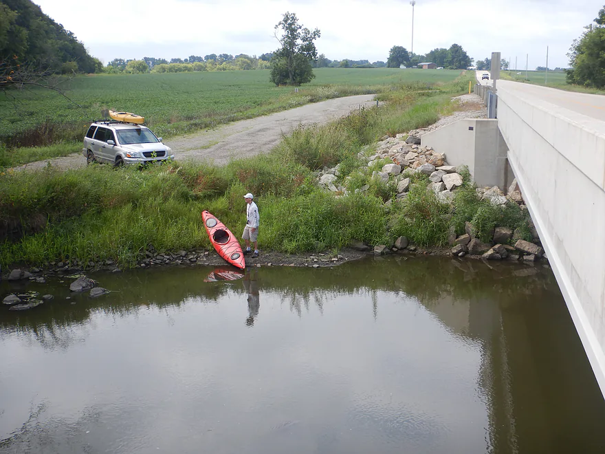
Starting the trip at the Cty Rd J landing
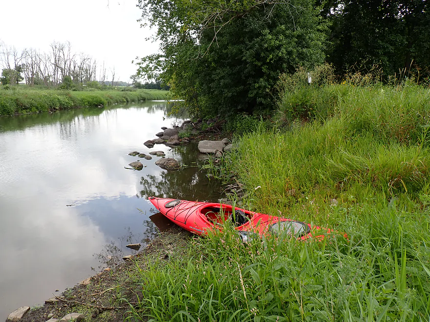
Good access
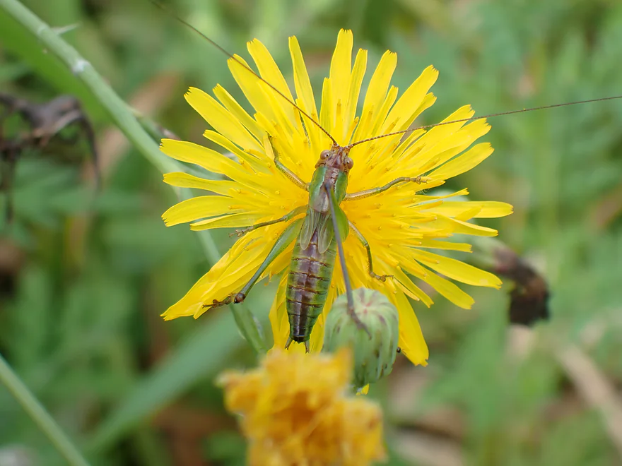
Friendly grasshopper
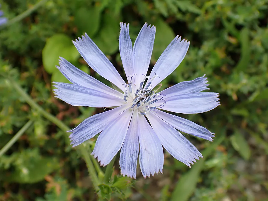
A single chicory flower
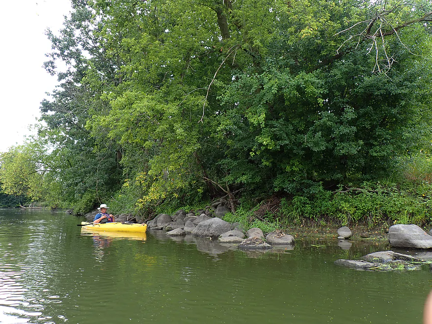
A surprisingly rocky river
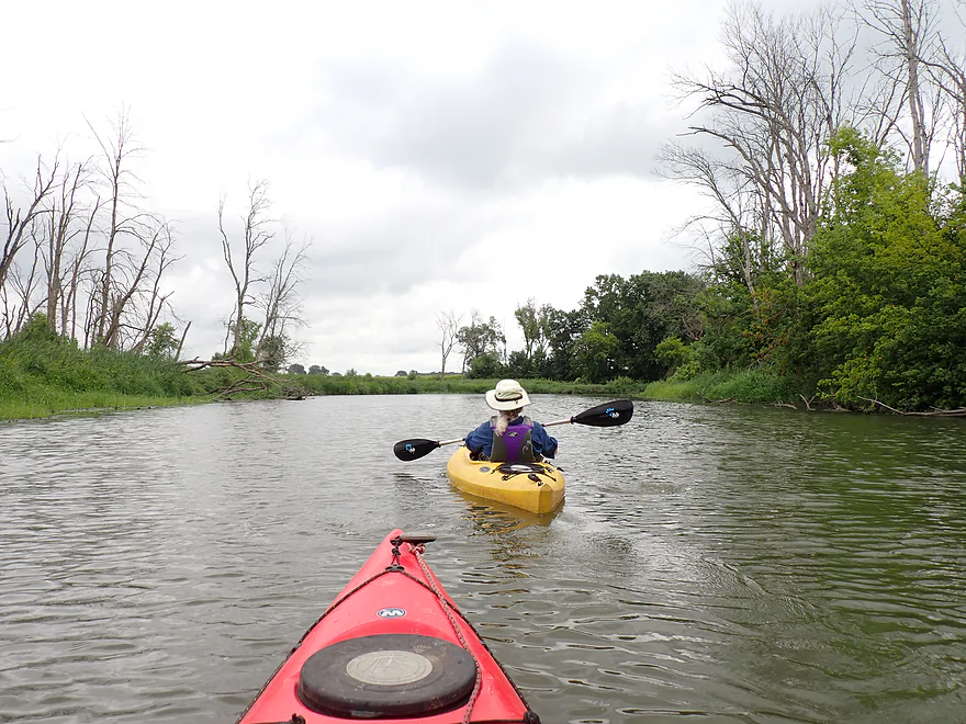
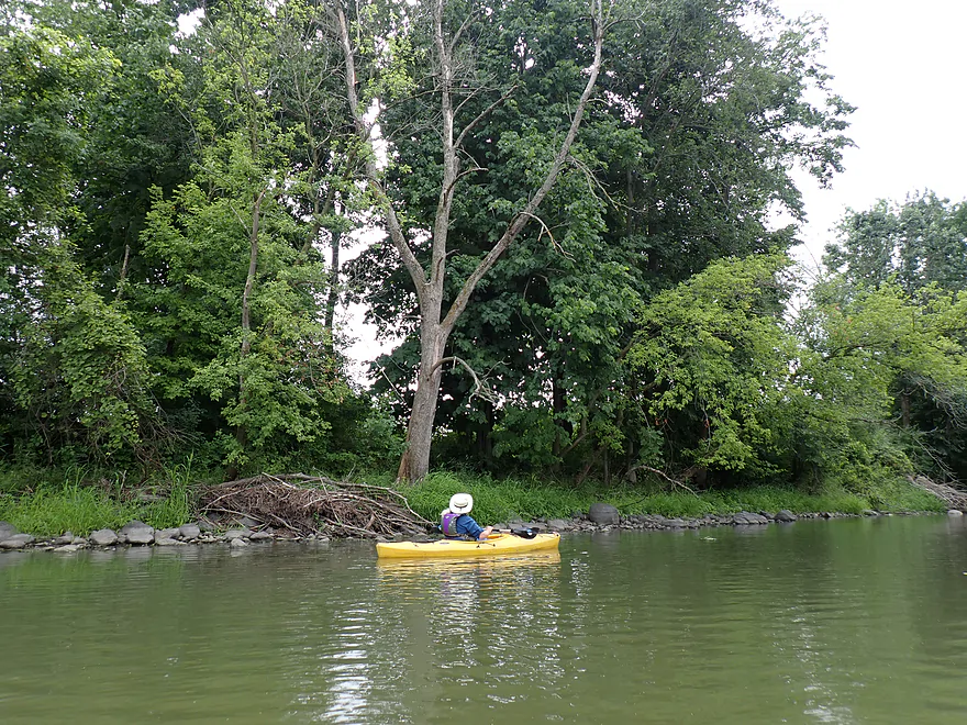
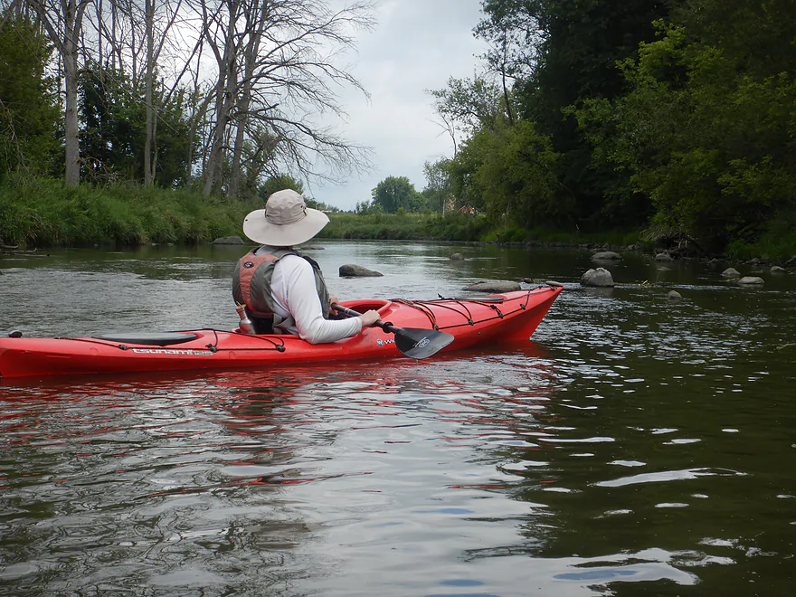
Our first small boulder garden
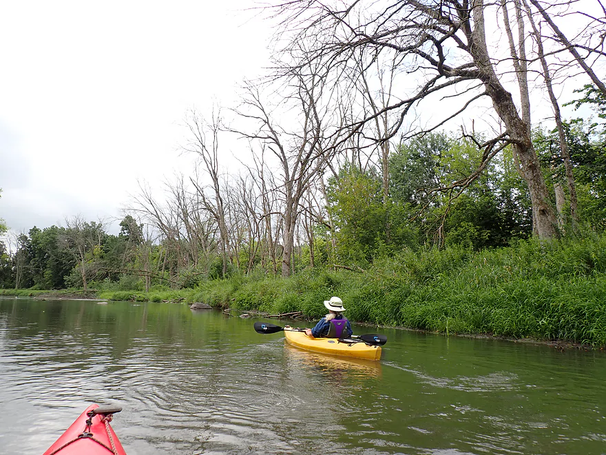
So many dead ash trees
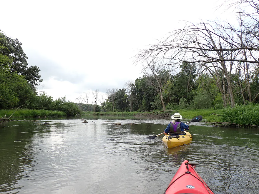
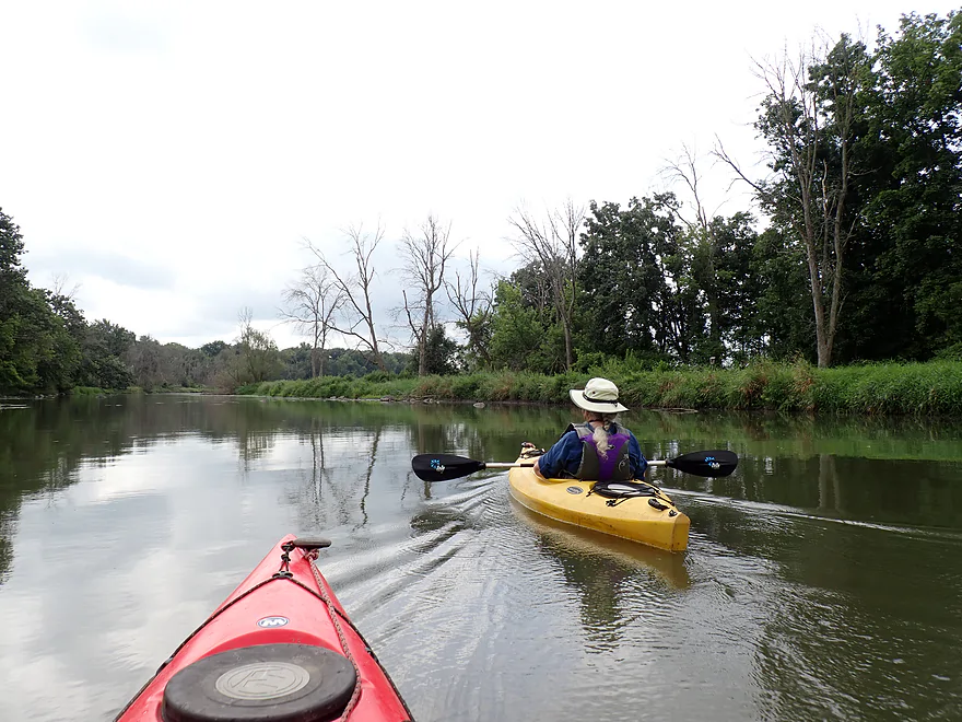
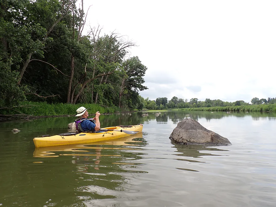
In high water you wouldn’t see many of these boulders
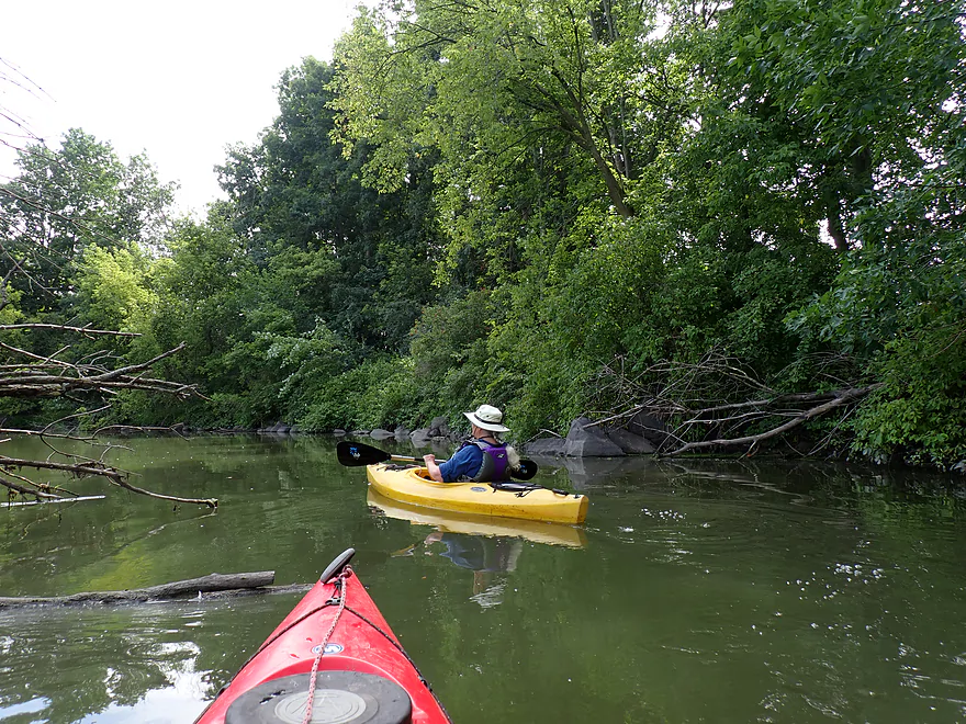
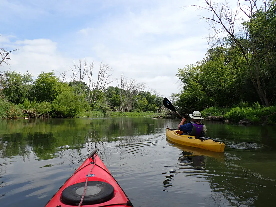
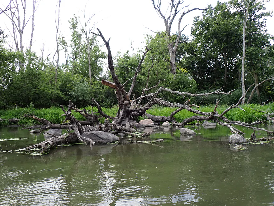
Cool how the rocks are clustered around the downed tree
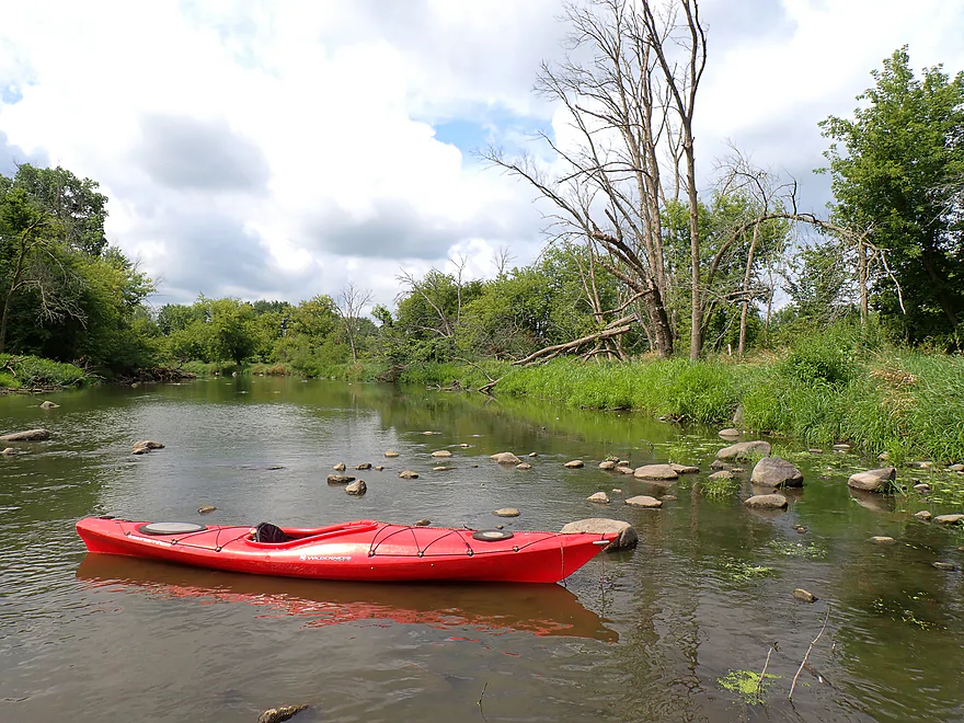
A scenic stretch
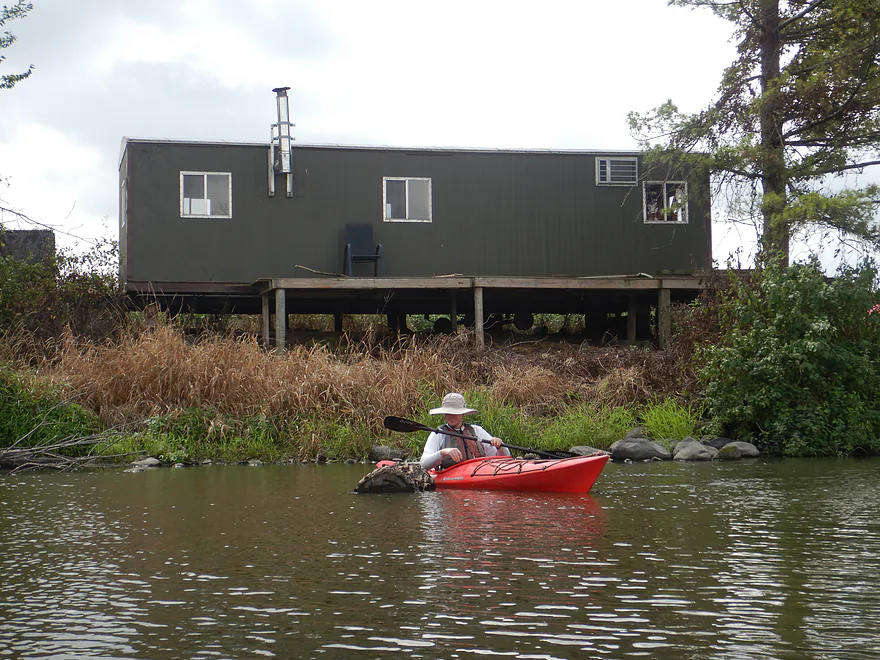
Mobile home in the middle of nowhere (it was occupied too)
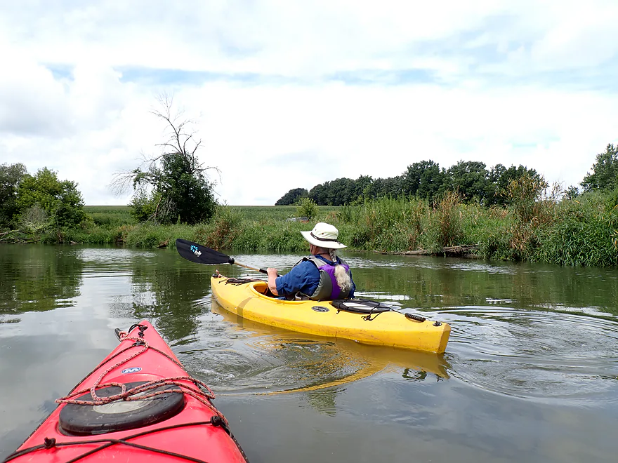
Drumlin in the distance
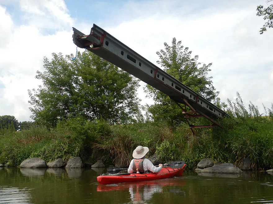
Not sure what this elevator is doing here…
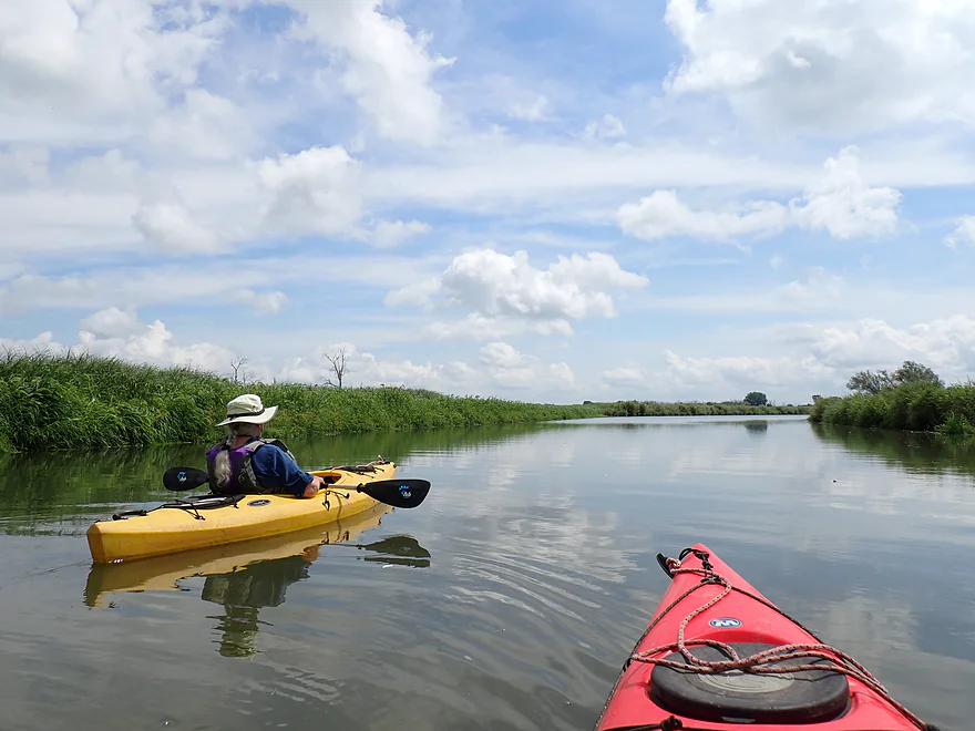
River opens up and becomes less interesting
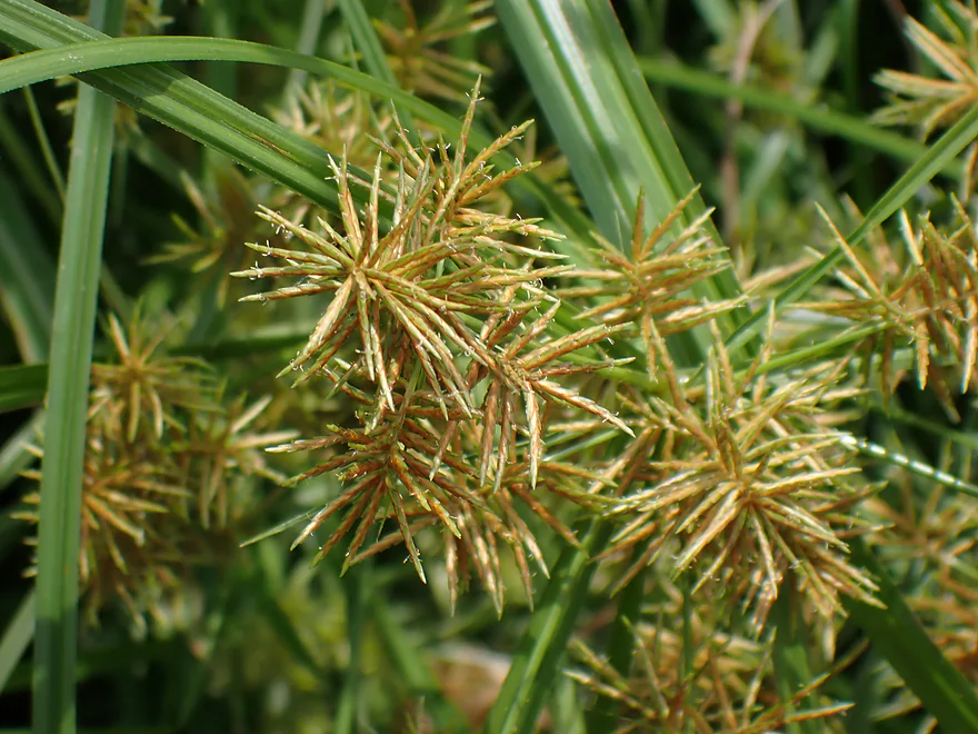
Yellow nutsedge occasionally lined the banks
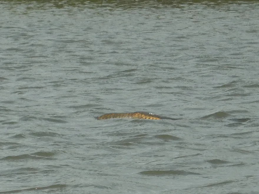
Carp were surfacing all over the place (possibly due to low oxygen)
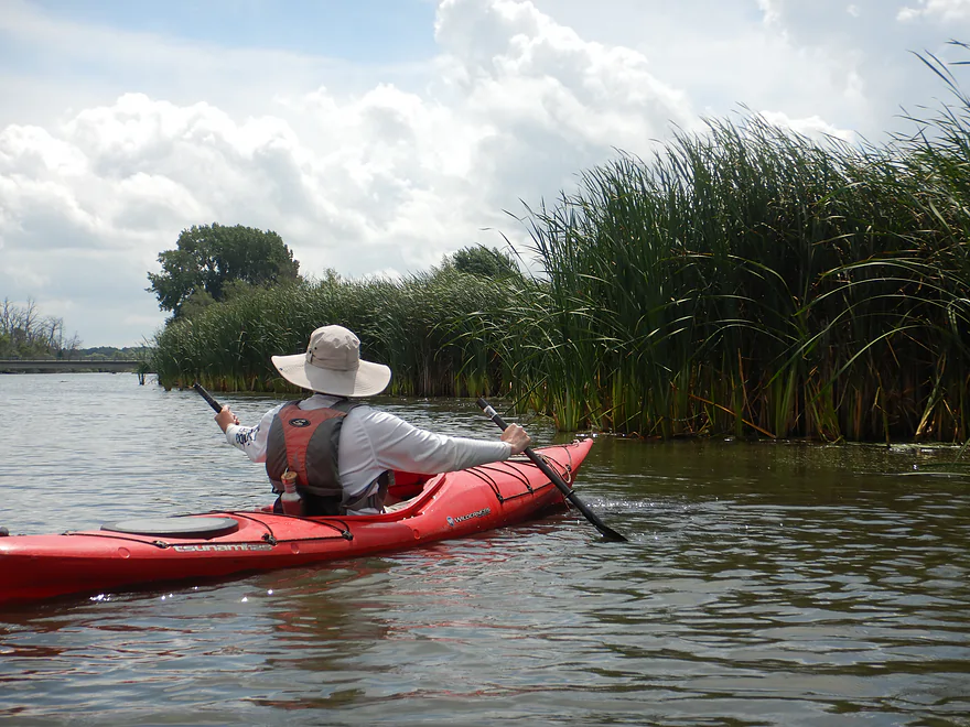
Entering a marshy stretch
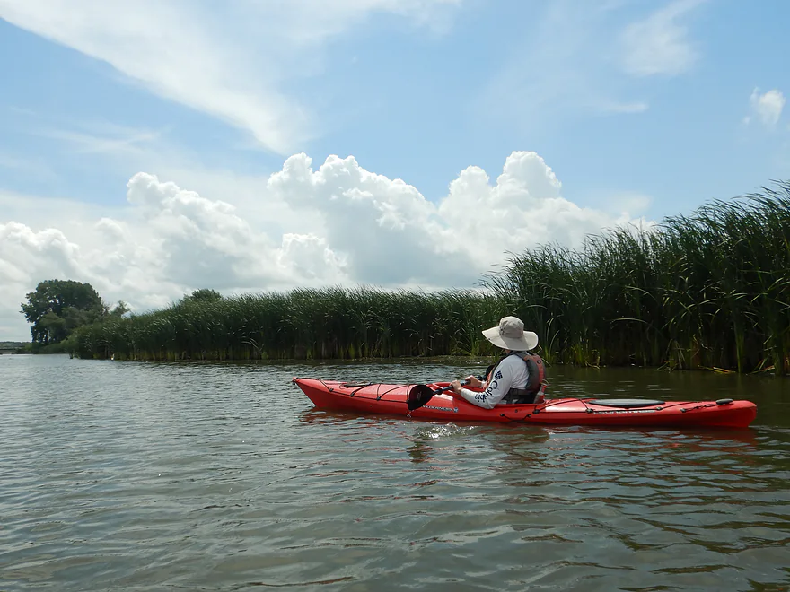
Cool clouds
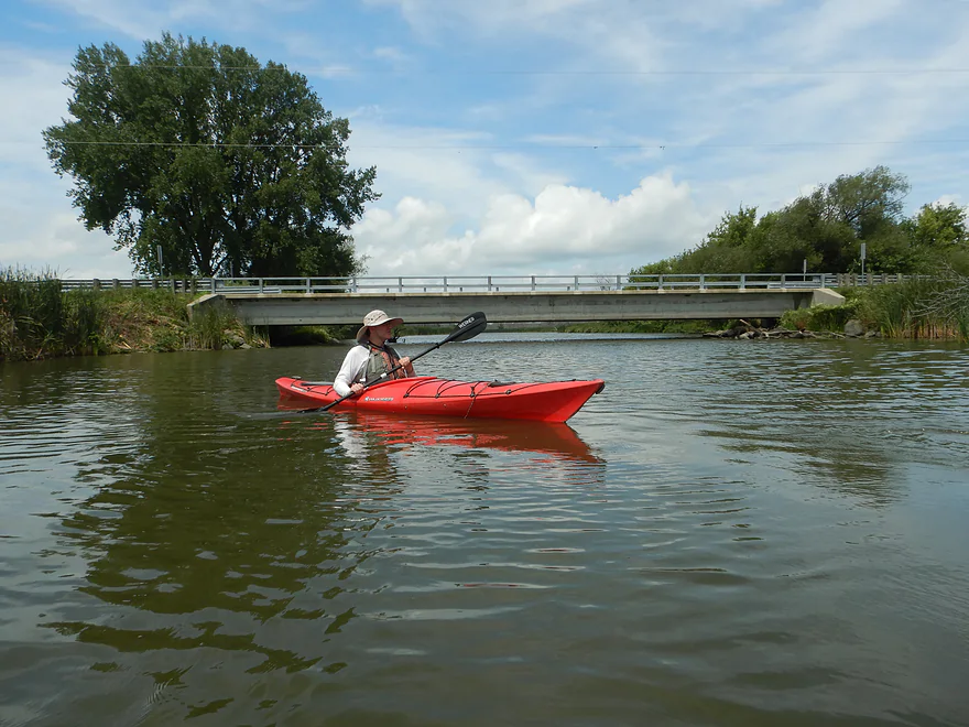
Meadow Rd is the halfway point in the trip and an access option
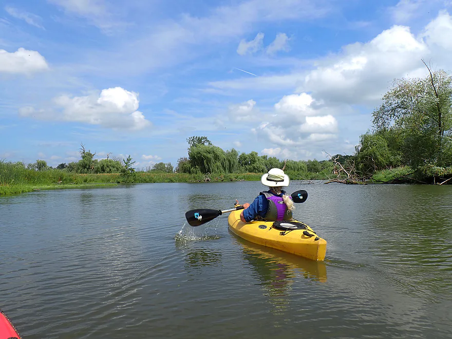
Second leg starts slow and not as interesting
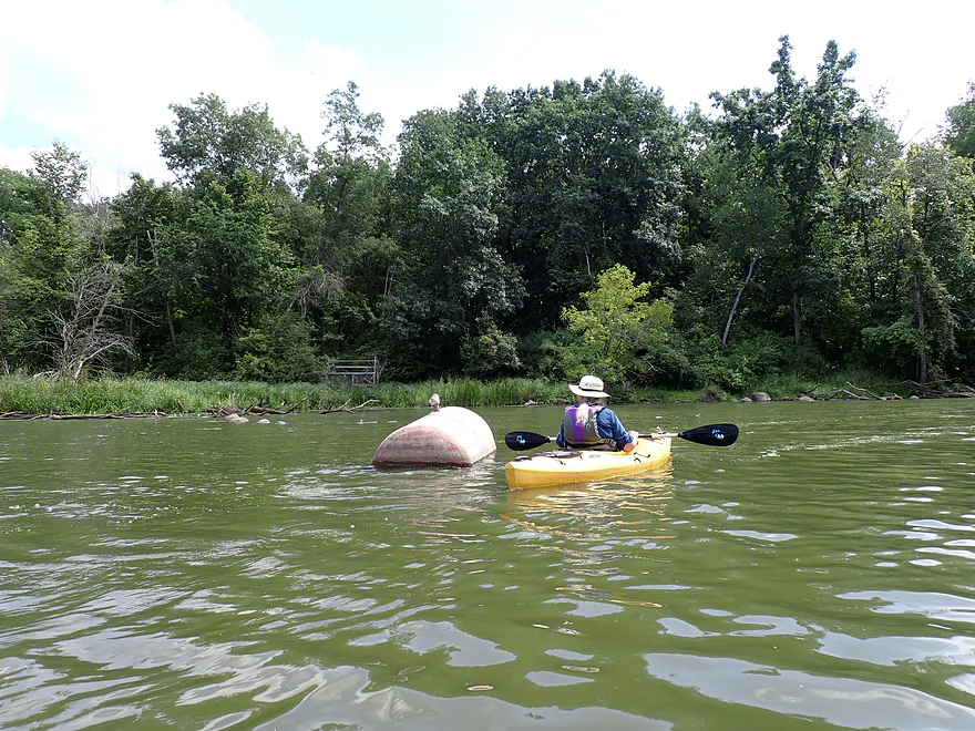
That doesn’t belong there…
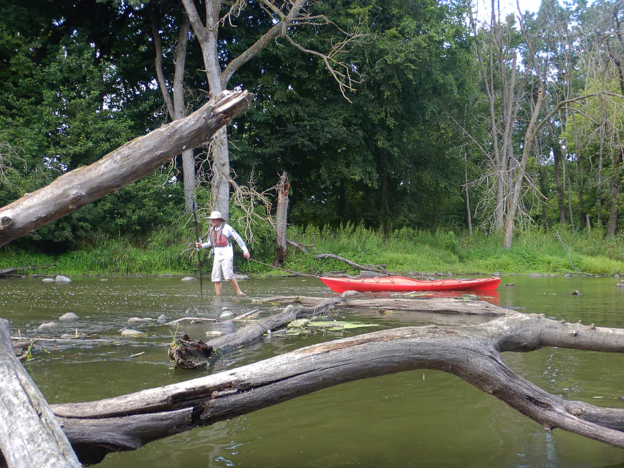
Starting to get shallow
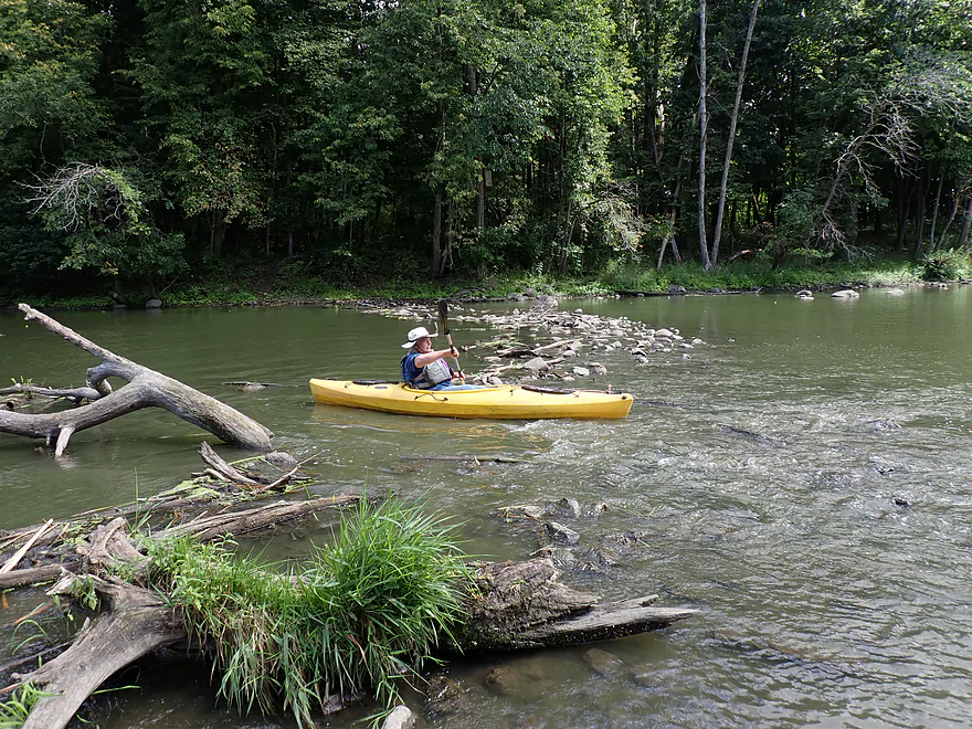
Biggest “rapids” of the trip
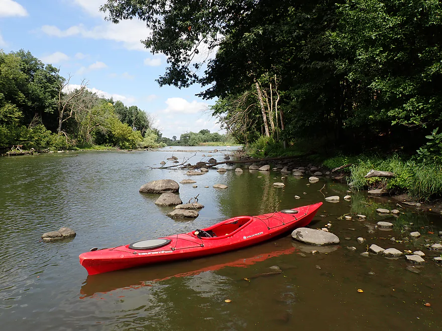
This part has a bit of an up-north vibe
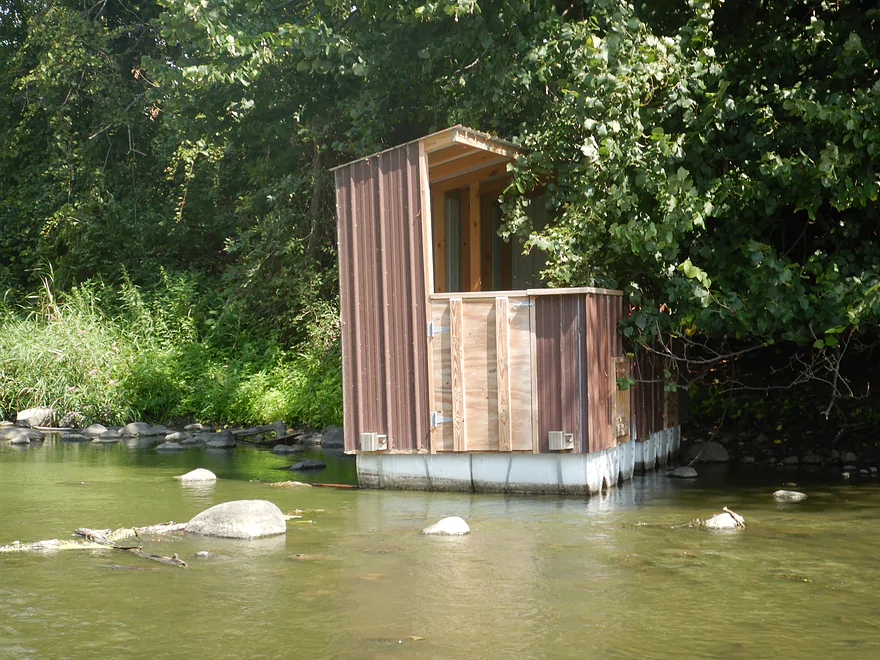
Floods likely washed this duck blind downstream
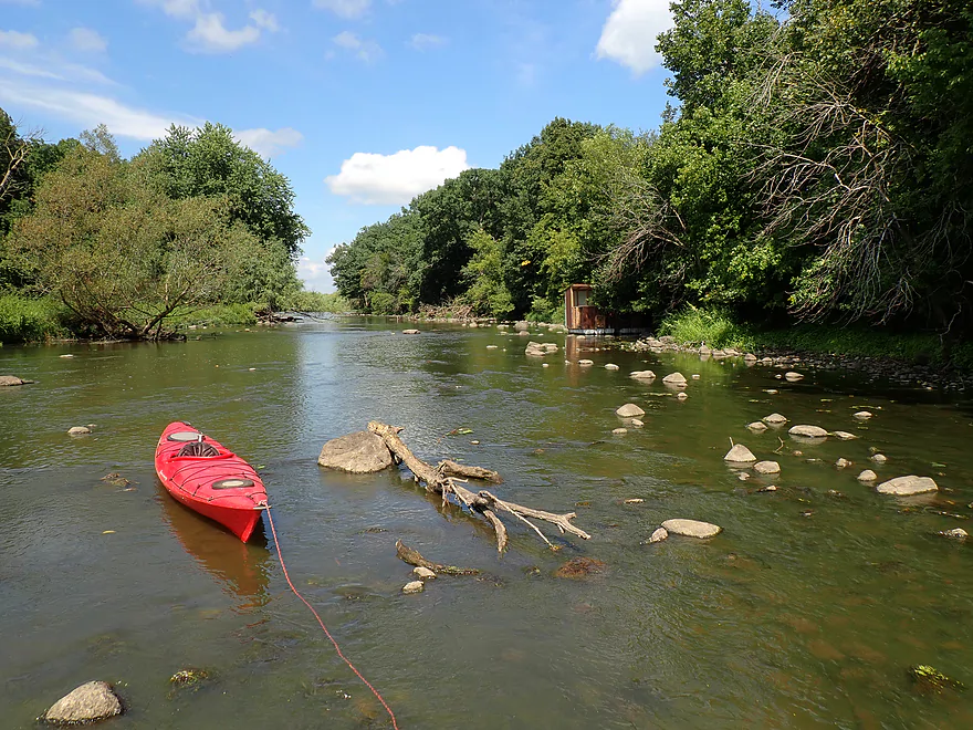
A neat stretch (but shallow)
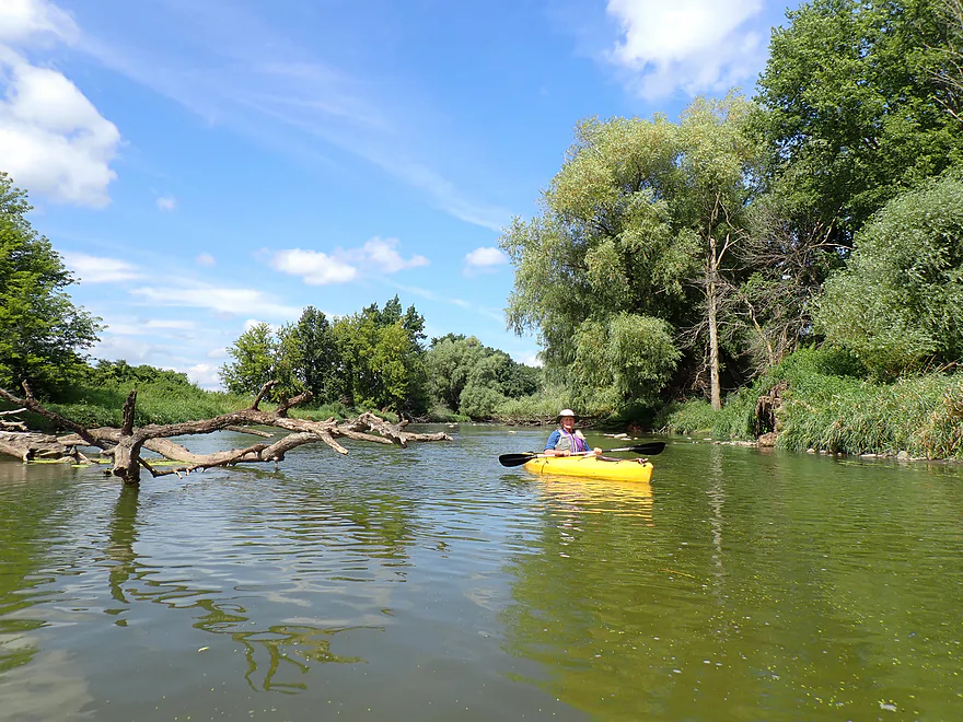
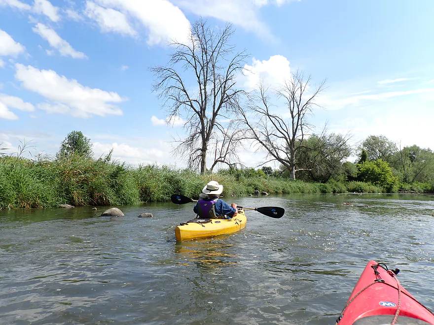
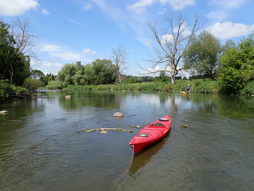
Having to get out again
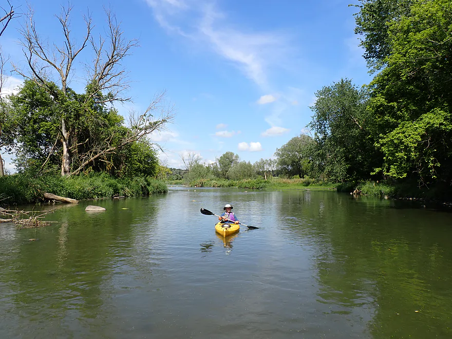
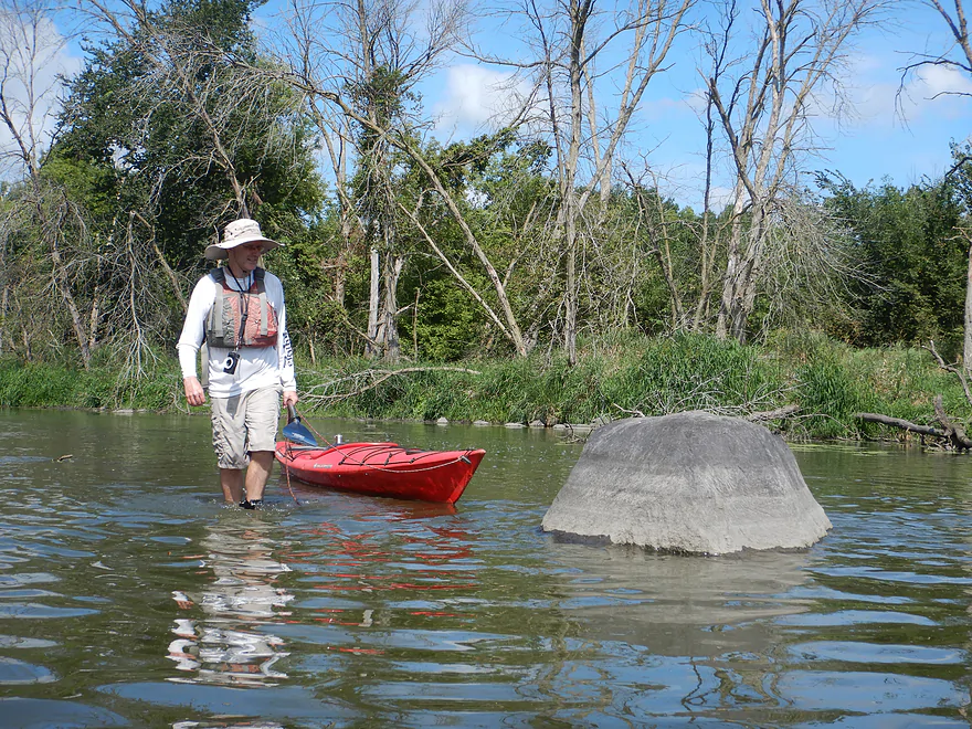
This big boulder marks an end to the shallows
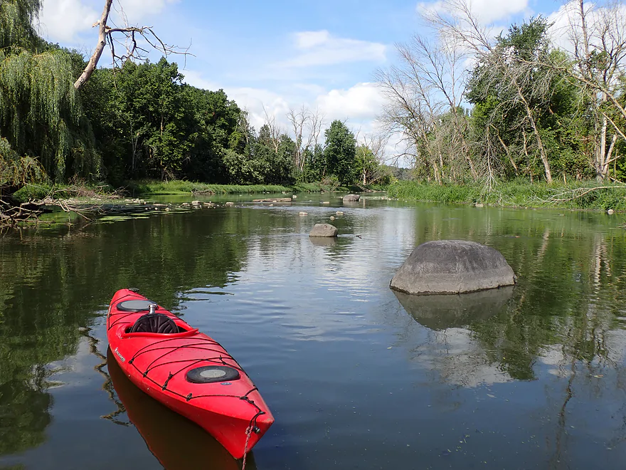
Reverse view
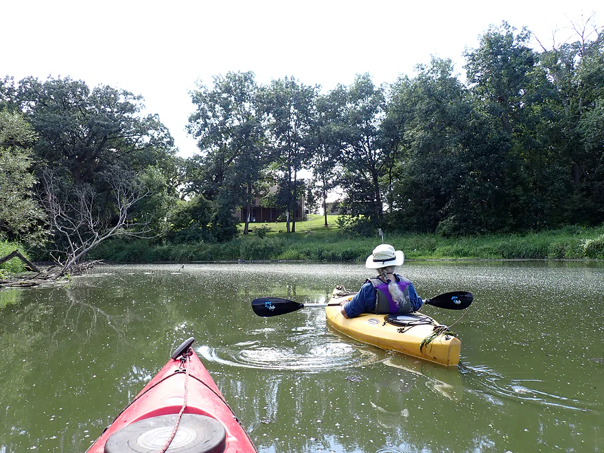
One of only a few homes we saw on the trip
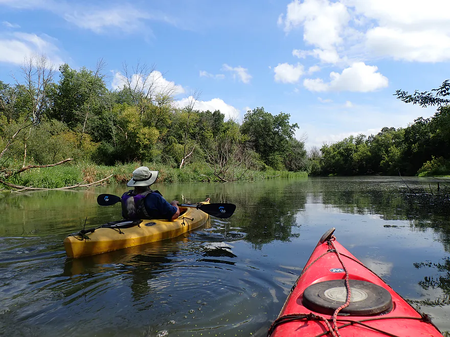
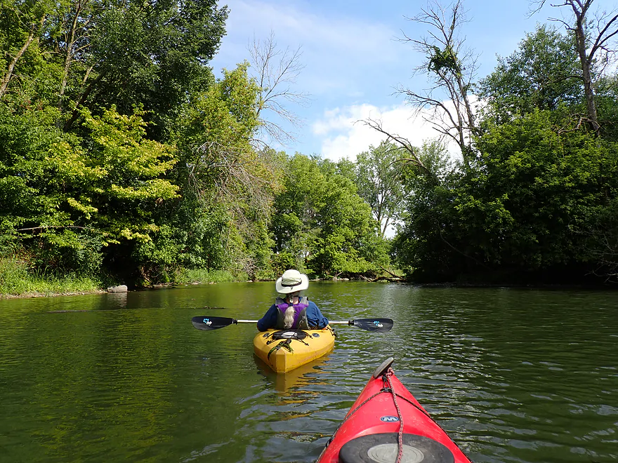
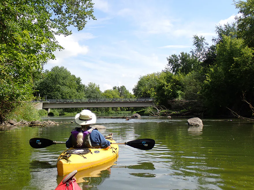
Low Road
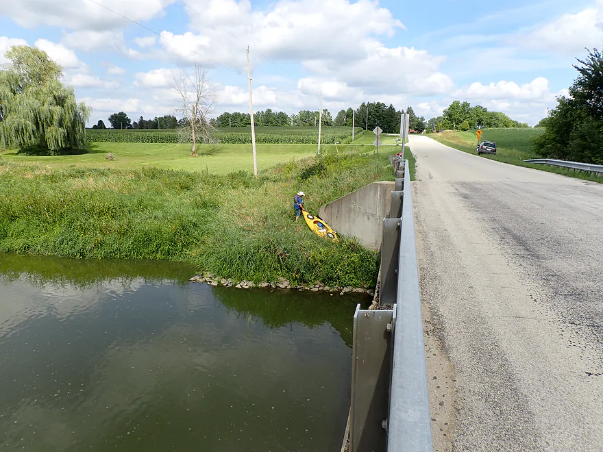
A doable but weedy bridge access


Beaver Dam River – Cty Rd J


Back in 2017, I paddled and reviewed the Beaver Dam River from the main dam down to Cty Rd J. While it was a great trip, it was choked with some nasty logjams. Since then, volunteers have cleared out most (although a few might remain) and it has become a popular trip for local paddlers. Fast forward to 2026 and I returned to Cty Rd J (where there is a new access) to explore the next leg. I knew it wouldn’t have the rapids and scenery of the previous leg, but I was still curious to see how it compared.
The river to start is very inviting. Here the channel grows significantly from the addition of Calamus Creek. The area was scenic with small boulders, egrets, clam shells, turkeys, and splashing fish. Small boulder gardens occasionally dotted the river and light woods lined the banks. Many of the trees were dead ash, devastated by the emerald ash borer. Unfortunately, occasional debris sat in the river channel, including at least five partially submerged tires. These may seem like harmless eyesores, but they actually release toxic 6PPD-quinone which is harmful to fish.
We also encountered several shallow spots early on. I knew water levels would be low, but I had hoped Calamus Creek would add enough volume to offset it. The Beaver Dam River is perhaps the most volatile river in Southern Wisconsin, frequently jumping from 30 CFS up to 600+ CFS and then dropping right back down again. I suspect the dam operator releases water in sudden bursts and then cuts off flow to stabilize pier heights on Beaver Dam Lake. As a result, paddlers usually catch the river either too high or too low, and today was definitely the latter. The first half of the trip was manageable, with only a few brief wades, though conditions worsened later on. I ended up doing a lot of “paddle crutching,” an unsettling technique when using a high-end Werner carbon fiber paddle.
After a mile or two, the river opened up into a marshy stretch. The water was deeper here, but the current died completely and left us with long, uninteresting straightaways. Thankfully, the open terrain provided great views of distant drumlins, and a strong tailwind pushed us along (wind direction can make or break this trip). Meadow Road marked the halfway point, where the southeast bank showed signs of use by other paddlers.
The section just after Meadow Road was fairly uninteresting, staying very open, wide, and straight through generic marsh scenery. While hard to spot from the water, satellite imagery shows a large drainage ditch network entering the river here. I suspect this part of the river was artificially ditched, deepened, and widened to improve drainage for local agriculture. Thankfully, the river grew more scenic further downstream once it started to meander again and featured a surprising number of weeping willows.
In the final mile, the river changed dramatically as the channel narrowed into a rocky, wooded stretch with a noticeable drop in elevation (finally, some current!). Attractive boulder gardens were common throughout, but unfortunately this proved to be the shallowest section of the entire trip, requiring at least half a mile of wading. The trip ended at Low Road which, while scenic, was somewhat overgrown with weeds (I’ve faced far worse on other trips, though).
In summary, this was a tough trip to grade. The start and end were fantastic… four stars in my book. You just don’t expect a river in southeastern Wisconsin to have boulders and character like this. But the middle portion (just above and below Meadow Road) was mostly an uninteresting lake paddle. By far the biggest problem was the shallow water, but at least we created a baseline for future paddlers (24 CFS won’t work!). I think if you aim for a higher depth, you’ll be fine (but not too high, as then you won’t see any of the neat glacial rocks).
This turned out to be a surprisingly good trip for wildlife. Highlights included quite a few green herons, two blue herons, an egret , three flocks of geese, turtles, turkeys, a half-grown fawn, and many kingfishers. The lowlight, however, were the carp, who were splashing about everywhere. I think the low water was giving them grief, as in spots they didn’t have much room to maneuver, and you could often see their dorsal fins sticking above the water like mini sharks.
Cty Rd J: A new public access site on the southeast corner provides a solid put-in. Because the landing abuts private property, avoid blocking the shared drive (signs will tell you where to park and not park).
Alt Put-ins:
- Cotton Mill Park (5.7 miles upstream from Cty Rd J): This is a terrific leg. But… there are rapids which can be tricky in high water. Occasional deadfall and logjams can be an issue as well.
Low Road: This is a somewhat weedy and steep bridge access. Not ideal, but doable. Best access is along the northeast corner.
Alt Take-outs:
- Meadow Rd (2.3 miles upstream from Low Road): A nice grassy bank southeast of the bridge shows signs of use by other paddlers.
- Sockes Rd (2.8 miles downstream from Low Road): Doable but not an ideal access. The leg between Meadow Rd and Sockes is mediocre and likely not top-notch, but there should be one nice rocky stretch.
- Lowell Dam (5.7 miles downstream from Low Road): There is a public access west of the dam. The leg between Sockes Rd and the dam is impounded and likely not very interesting.
Bike Shuttle – Low Road to Cty Road J: 4.6 miles with 26′ of ascent. This is a manageable bike shuttle. Shuttlers should stay west of the river, which is flatter.
Wind: Portions of this route are open and exposed. Try to avoid paddling when strong headwinds are forecasted, but conversely, a north-to-south tailwind would be most ideal (especially for those with kayak sales).
Current: The first quarter of the trip has only very minor current. The middle half has almost no current. And the final quarter has some current and occasional riffles in the rocky stretches.
Rapids: No real rapids to speak of, just minor riffles through the rocks. Under ideal water levels (high enough for volume, but not so high they wash out), small rapids might form.
Logjams: None. Really, aside from the wind, this is an easy and safe trip.
Closest Gauge: Beaver Dam River @ Beaver Dam
Trip Depth: 24 CFS or 839.00′
Navigability Estimates: Flow on this stretch is artificially controlled. The upstream dam operator in Beaver Dam frequently fluctuates discharge between near-zero flow and rapid high-volume releases. Unfortunately this creates highly variable paddling conditions which is not ideal for kayaking (or the ecology of the river).
- 0-20 CFS: River is crazy shallow.
- 21-33 CFS: A low depth that will require a handful of wades… including a longish half-mile wade close to Low Road. The boulder gardens, though, will be terrific.
- 34-50 CFS: Perhaps a few wades… otherwise I think this should be a manageable depth.
- 51-100 CFS: A somewhat high depth with good padding, but poor clarity, and some of the cool rocks will be submerged.
- 101-200 CFS: High depth… less scenic, but good navigability.
- 201-400 CFS: Very high depth… easy navigability, but not as scenic.
- 401-700 CFS: This will occur after major rains and the river will be very full. Despite this, it should be fine for paddling.
- 701+ CFS: Perhaps flood depth. If you really wanted to, I think you could paddle at these levels, but everything would be a big ugly, muddy mess.
- Lake Emily Road to Cty Rd F: 2.0 miles. Parts of this look open and attractive, but I suspect there are a few major logjams that might make navigation difficult.
- Cty Rd F to Clausen Park: 4.7 to 7 miles. The first half of the trip is on Alto Creek. This is a small marshy prospect that is pleasant but does have one logjam. The second half of the trip is Fox Lake which is less interesting, but can have good waterfowl. You can extend the trip by exploring the Sager Island inlet.
- Clausen Park to Lake Drive Launch #1/Beaver Dam Lake: 4.5 miles.
- Clausen Park to Trenton Street Dam: 0.9 miles. This is a narrow flowage flanked by many homes and piers.
- Trenton Street Dam to Lake Drive Launch #1: 3.6 miles. An intriguing prospect that is surprisingly rocky and could have a few rapids. However, there also might be strainers and a few logjams. Definitely on my to-do list.
- Beaver Dam Lake Entrance to Dam/Cotton Mill Park: 8.7 miles. An uninteresting flowage paddle with many motorboats. However, each summer there is a paddle festival on the lake.
- Dam/Cotton Mill Park to Hwy J: 5.7 miles. A cool whitewater stretch with good scenery but tricky to time.
- Cotton Mill Park to Riverside Park/W. David Street: 0.8 miles. A neat urban paddle through downtown Beaver Dam with the strongest rapids on the river.
- Riverside Park to Hwy S: 4.3 miles. A mixture of woods and rapids. Make sure to launch south of W. Davis Street and not north. You could take out at Canary Road if you really wanted to.
- Cty Road S to Cty Rd J: 0.6 miles. No more rapids. A peaceful paddle through a mixture of farmland and wetgrass.
- Cty Road J to Low Road: 5.3 miles.
- Cty Road J to Meadow Road: 2.9 miles. The section starts scenic with some woods, drumlins, and nice rocks. It soon slows down and opens up to become less interesting.
- Meadow Road to Low Road: 2.4 miles. The first half is slow, open, and boring. The second half is really rocky and wooded—very nice. At a low 24 CFS, we had to wade about a half mile here. Low Road is a weedy access option.
- Low Road to Sock Road: 2.9 miles. A slow, open stretch–likely less interesting than prior legs. There should be one rocky part and a few wooded drumlins, though.
- Sock Road to Dam/Fishing Whole Park: 3.0 miles. Likely an uninteresting flowage paddle. Sock Road access is doable but not ideal.
- Dam to Hwy 60: 0.8 miles. Neat little section with some rapids.
- Hwy 60 to Cty J: 2.8 miles. Probably a weak section. Seems muddy, broad and slow. Hwy 60 is doable for an access, but will require some boat dragging to reach the water.
- Cty J to Mud Lake Road: 6.3 miles. Probably an uninteresting cattail marsh segment. Note, the river splits for several miles and the take-out is on the west channel. Cty J is a decent put-in.
- Mud Lake Road to Crawfish River: 5.9 miles. Probably more uninteresting cattail paddling. Just after you reach the mouth on the Crawfish, you’ll need to paddle a couple hundred yards upstream to reach the canoe launch at Cty G.
Trip Map
Video
Photos Size:
How did your trip turn out? Questions or comments? Feel free to leave your feedback.
